 Block
Ranchvale, New Mexico
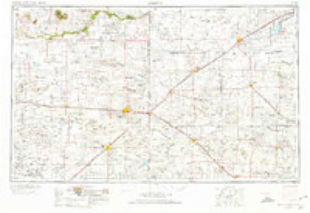
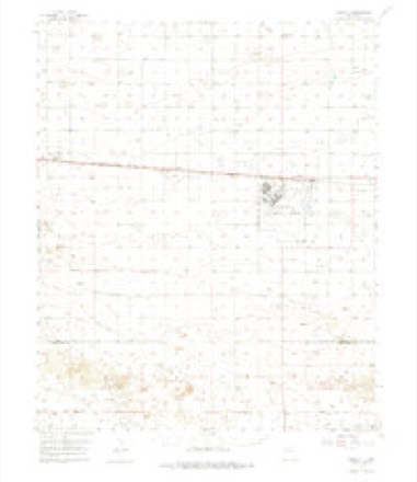
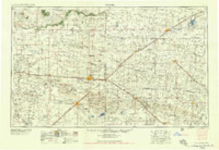
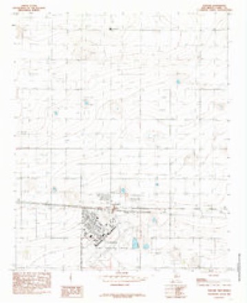
8 topographic sheets cover this place, the earliest surveyed in 1954 and the latest in 1985. It stands in the Clovis census division. It lies in ZIP code area 88101. The Survey maps it on the Portair quadrangle.
Topographic sheets covering this place
4 surveys from 8 printed sheetsMatched by testing this settlement's coordinate against the published boundary of every sheet in the United States Geological Survey's historical collection. Each opens the scanned sheet at the Survey.
- 1954 USGS Clovis quadrangle1:250000, 4 printings
- 1957 USGS Portair quadrangle1:62500, 2 printings
- 1958 USGS Clovis quadrangle1:250000
- 1985 USGS Portair quadrangle1:24000
Fires near this place
25 since 1993Regional context, not property-specific evidence. The federal wildfire occurrence database lists 25 fires within 5 miles of Ranchvale between 1993 and 2020, burning about 1,084 acres in total. 2 started naturally. None was recorded as arson. Distance is straight-line from the map coordinates, so a fire counted here may appear on a neighbouring settlement's page as well.
| Reported cause | Fires |
|---|---|
| Missing data/not specified/undetermined | 19 |
| Smoking | 2 |
| Natural | 2 |
| Debris and open burning | 1 |
| Equipment and vehicle use | 1 |
The most recent of them, most recent first, with the day each was reported and the service that recorded it.
| Date | Cause | Size | Reported by | Name on the report |
|---|---|---|---|---|
| 11 September 2000 | Debris and open burning | 2.0 acres | New Mexico State Forestry Division | LONGHORN |
| 14 August 2020 | Natural | 60 acres | Las Vegas District | 21-40400195X |
| 30 July 2011 | Natural | 5.2 acres | New Mexico State Forestry Division | HARVEY |
| 21 July 2001 | Equipment and vehicle use | 5.0 acres | New Mexico State Forestry Division | WIRE |
| 2 July 1993 | Missing data/not specified/undetermined | 4.0 acres | New Mexico State Forestry Division | RANCH |
| 19 July 1996 | Missing data/not specified/undetermined | 50 acres | New Mexico State Forestry Division | RANCH WEST |
| 30 June 1998 | Missing data/not specified/undetermined | 10 acres | New Mexico State Forestry Division | RUNNING |
| 30 June 1994 | Missing data/not specified/undetermined | 25 acres | New Mexico State Forestry Division | LIGHTNING |
Settlements close enough to share some of these fires:
Mines and quarries near this place
1 within 5 milesRegional context, not property-specific evidence. The federal mineral resources record lists 1 working within 5 miles of Ranchvale: 1 unknown. None of them still produces. What was taken out: Sand and Gravel, Construction. Distance is straight-line from the map coordinates, so a quarry counted here may appear on a neighbouring settlement's page as well.
| Where | Site | Commodity | Status | Recorded |
|---|---|---|---|---|
| Materials Pit | Sand and Gravel, Construction | Unknown |
Storms near this place
36 since 1996Regional context, not property-specific evidence. The National Weather Service names Ranchvale in 36 storm reports between 1996 and 2024: 27 hail, 5 thunderstorm wind, 2 tornado, 1 funnel cloud. No death or injury is recorded in these reports. Each account below is quoted exactly as the forecast office filed it, from the NOAA Storm Events Database, and each date opens the federal record of that event.
| When | Event | Place named | Harm | What the report says |
|---|---|---|---|---|
| May 2015 | Flash Flood | Ranchvale | $3,000,000 | According to local media reports, 65 homes in the Cannon Air Force Base area were impacted by the flooding, including roof damage, weather stripping, carpet, flooring, and sheetrock. Local officials evacuated 33 families from those homes and put them in hotel lodging. The flooding in Clovis forced the closure of U.S. Highway 60/84. Approximately 40 feet of state highway 108 between mile markers 6 and 10 was washed out. Clovis police had to use an armored vehicle to rescue 7 victims stranded by or caught in fast moving waters or flooded streets. |
| December 2019 | Tornado (EF1) | Ranchvale | $300,000 | Three large power transmission poles were snapped and toppled to the ground, no less than three center pivot irrigation sections were flipped over or destroyed, several sections of range land fencing were damaged, and dozens of small yucca plants were uprooted. The tornado missed a nearby residence by only 300 yards and barely missed the nearby Palla West Dairy. Damage amounts are estimated for utility and property losses. |
| May 2017 | Hail | Ranchvale | $100,000 | The NMSU Agricultural Science Center northeast of Clovis reported major damage from a severe hail storm. Hail estimated at least to the size of hen eggs produced a major crop loss at the facility. Damage amounts are estimated. |
| June 2014 | Hail | Ranchvale | $100,000 | Tweet from STORMTRACK7, and received picture of hail with measurement. The Agricultural Science Center for NMSU at Clovis suffered catastrophic damage to crops, vehicles, and the facility. Windows were also broken out of a nearby home. |
| October 1998 | Hail | Ranchvale | $20,000 | no account filed |
| May 2017 | Hail | Ranchvale | $10,000 | Damaging hail storm with at least hen egg size hail. Two windows broken at residence and two windshields smashed out. Damage amounts are estimated. |
| May 2023 | Thunderstorm Wind | Ranchvale | $1,000 | Photo shared via twitter from Hunter Fowkes of a large plastic full water container having been blown over. |
| July 2024 | Hail | Ranchvale | - | A trained spotter a few miles near Ranchville reported half inch to penny size hail from a brief strong thunderstorm. |
| May 2023 | Hail | Ranchvale | - | A COOP observer reported nickel size hail 9 miles northeast of Ranchvale, NM. |
| May 2023 | Hail | Ranchvale | - | Dime to golf ball size hail was reported near Pleasant Hill, NM. |
| May 2023 | Hail | Ranchvale | - | Two reports of hail north of Clovis ranging in size from dimes to ping-pong balls. |
| May 2023 | Hail | Ranchvale | - | Two reports of hail near Ranchvale ranging in size from dimes to quarters. |
| May 2023 | Hail | Ranchvale | - | Multiple hail reports were collected, ranging in size from quarters to golf balls. These hail reports were in the vicinity of Ranchvale and Clovis. |
| May 2019 | Hail | Ranchvale | - | Hail up to the size of half dollars with heavy rainfall and strong winds reported a few miles west-northwest of Ranchvale. |
| May 2017 | Hail | Ranchvale | - | The COOP observer north of Clovis reported half dollar size hail. |
| August 2015 | Hail | Ranchvale | - | Nickel size hail. |
| August 2015 | Hail | Ranchvale | - | SHAVE reported nickel size hail near Ranchvale. |
| June 2014 | Thunderstorm Wind | Ranchvale | - | Ranchvale elementary schoolnet. |
| June 2014 | Tornado (EF0) | Ranchvale | - | Supercell thunderstorm spawned a tornado that touched down near Ranchvale. NWS survey revealed the tornado occurred in an open field. Eyewitness accounts disclosed the tornado was short-lived and narrow. |
| June 2014 | Funnel Cloud | Ranchvale | - | A spotter positioned northwest of Ranchvale at Curry Road 22 and Highway 277 observed a funnel cloud to his southeast over Ranchvale. Also reported 1.75 inch hail. |
| June 2013 | Thunderstorm Wind | Ranchvale | - | Ranchvale Elementary. |
| September 2024 | Hail | Ranchvale | - | no account filed |
| May 2023 | Hail | Ranchvale | - | no account filed |
| June 2014 | Hail | Ranchvale | - | no account filed |
| June 2010 | Hail | Ranchvale | - | no account filed |
| June 2008 | Hail | Ranchvale | - | no account filed |
| June 2007 | Hail | Ranchvale | - | no account filed |
| June 2005 | Hail | Ranchvale | - | no account filed |
| August 2005 | Hail | Ranchvale | - | no account filed |
| June 2004 | Hail | Ranchvale | - | no account filed |
| June 2003 | Hail | Ranchvale | - | no account filed |
| June 2003 | Thunderstorm Wind | Ranchvale | - | no account filed |
| June 2003 | Hail | Ranchvale | - | no account filed |
| July 2000 | Hail | Ranchvale | - | no account filed |
| October 1998 | Thunderstorm Wind | Ranchvale | - | no account filed |
| June 1996 | Hail | Ranchvale | - | no account filed |
Nearest settlements
The eight closest, with where each one stands in the county. Distances are straight-line, computed from the Geographic Names Information System coordinates.
| Map | Place | Distance | Sheets |
|---|---|---|---|
| Portair | 6.1 miles | 8 | |
| Gallaher | 6.3 miles | 8 | |
| Grier | 7.1 miles | 8 | |
| Clovis | 8.5 miles | 9 | |
| Claud | 10.2 miles | 7 | |
| Saint Vrain | 10.5 miles | 8 | |
| Pleasant Hill | 13.1 miles | 7 | |
| Texico | 15.9 miles | 9 |
Provenance
This settlement is recorded in the Geographic Names Information System as feature 893664. The sheet list is computed by point-in-boundary test against the United States Geological Survey's historical topographic inventory. Both are works of the United States government and carry no copyright under 17 U.S.C. 105.
Wildfire. Short, Karen C. 2022. Spatial wildfire occurrence data for the United States, 1992-2020 [FPA_FOD_20221014]. 6th Edition. Fort Collins, CO: Forest Service Research Data Archive. https://doi.org/10.2737/RDS-2013-0009.6 Collected with United States Government funding and usable without additional permissions or fees.
Mines and quarries. USGS Mineral Resources Data System (MRDS) https://mrdata.usgs.gov/mrds/ A work of the United States government, no copyright under 17 U.S.C. 105.
Storms. NOAA National Centers for Environmental Information, Storm Events Database https://www.ncei.noaa.gov/stormevents/ A work of the United States government, no copyright under 17 U.S.C. 105. Narratives are quoted verbatim from the National Weather Service report and are not edited or summarised.