 Block
Clovis, New Mexico
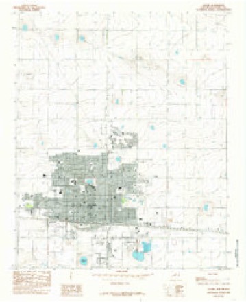
9 topographic sheets cover this place, the earliest surveyed in 1954 and the latest in 1985. It stands in the Clovis census division. It lies in ZIP code area 88101. The Survey maps it on the Clovis quadrangle. 38,567 people lived here at the 2020 count. It stands 4,268 feet above sea level.
Research this city
On record in Clovis
Buildings and businesses the archive holds for this place. Each opens its own page, with the source record it came from.
On the National Register 12 records
 1908 Clovis City Hall and Fire Stationlisted 1987
 Clovis Baptist Hospitallisted 1982
 Clovis Central Fire Stationlisted 1987
 Curry County Courthouselisted 1987
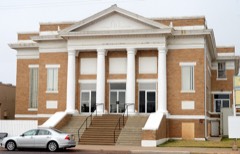 First Methodist Church of Clovislisted 1987
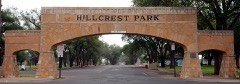 Hillcrest Park Archwaylisted 2008
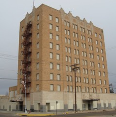 Hotel Clovislisted 1984
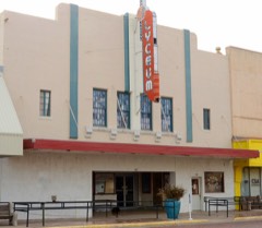 Lyceum Theaterlisted 2007
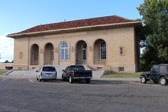 Old Clovis Post Officelisted 1984
 Santa Fe Passenger Depot-Clovislisted 1995
 State Theaterlisted 2007
- Lincoln Jackson Schoollisted 2017
Population over time
2 figuresClovis grew from 37,775 to 38,567 between 2010 and 2020. These are the recorded population figures Wikidata holds for this place, reached through the Geographic Names Information System number this page is keyed on rather than by name, so they belong to this place and not to another of the same name. Most are census counts, but not all are: an early figure may be a founding or settlement estimate, and an estimate published within five years of a census is left out. The change column is computed, and is left blank where more than 20 years separate a figure from the one before it, because a gap that long is not a change between two counts.
| Year | People | Change |
|---|---|---|
| 2010 | 37,775 | |
| 2020 | 38,567 | +792 (+2%) |
Topographic sheets covering this place
4 surveys from 9 printed sheetsMatched by testing this settlement's coordinate against the published boundary of every sheet in the United States Geological Survey's historical collection. Each opens the scanned sheet at the Survey.
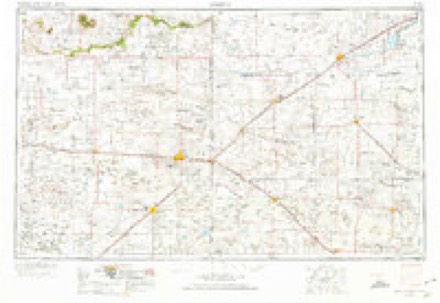
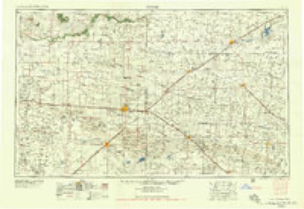
- 1954 USGS Clovis quadrangle1:250000, 4 printings
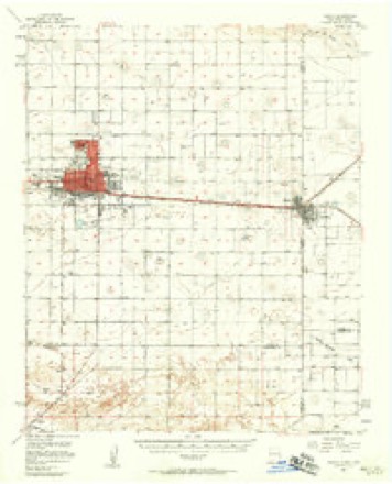
- 1957 USGS Clovis quadrangle1:62500, 3 printings
- 1958 USGS Clovis quadrangle1:250000
- 1985 USGS Clovis quadrangle1:24000
Photographs
8 of 32 photographs shown, 1943Taken for the Office of War Information and the Farm Security Administration, who photographed the country between 1935 and 1944. Works of United States government photographers, with no known restriction on use. Each opens its catalogue record.
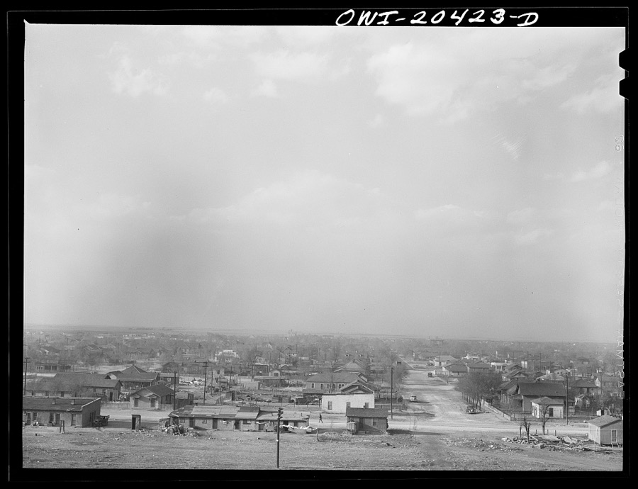
Delano, Jack, 1943. Library of Congress
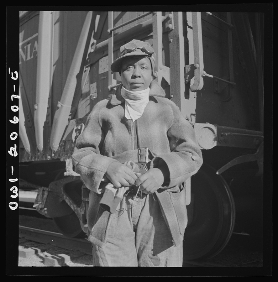
Delano, Jack, 1943. Library of Congress
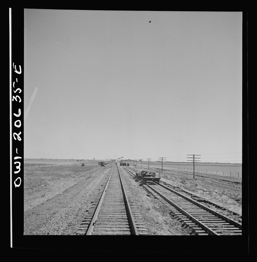
Delano, Jack, 1943. Library of Congress
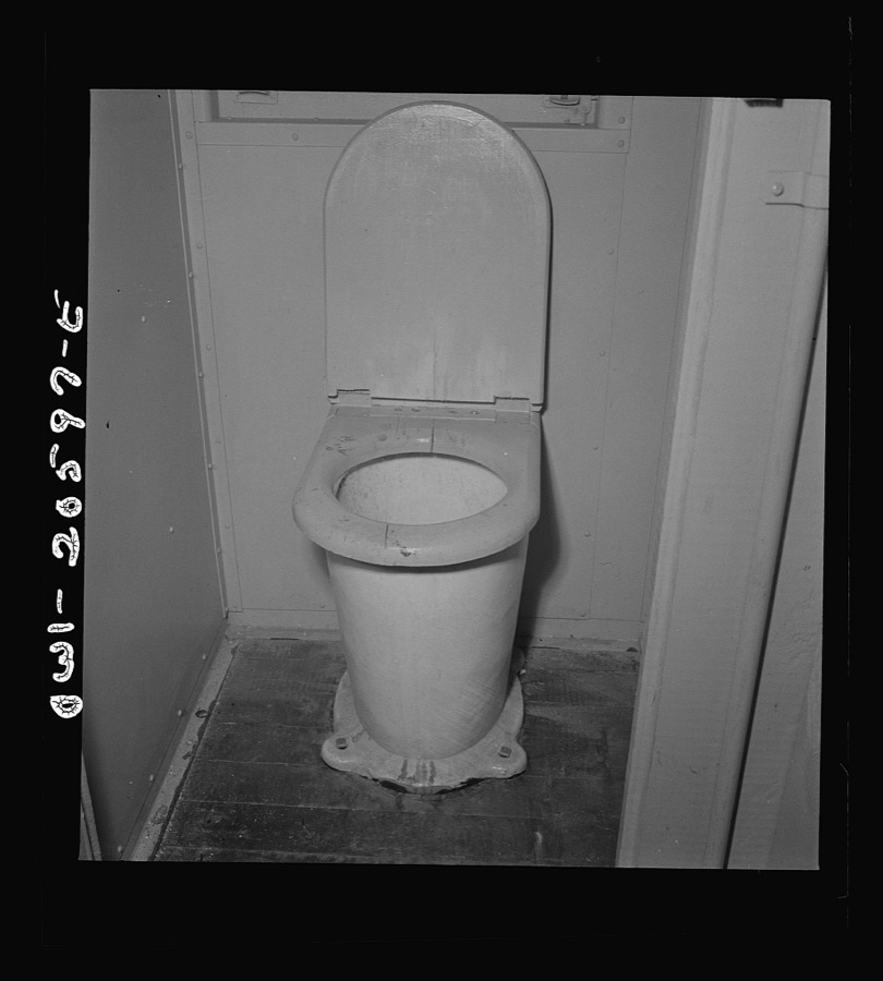
Delano, Jack, 1943. Library of Congress

Delano, Jack, 1943. Library of Congress
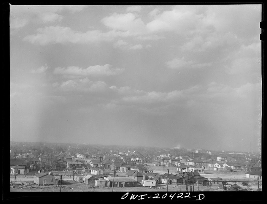
Delano, Jack, 1943. Library of Congress

Delano, Jack, 1943. Library of Congress

Delano, Jack, 1943. Library of Congress
Every photograph of Curry County
Fires near this place
58 since 1993Regional context, not property-specific evidence. The federal wildfire occurrence database lists 58 fires within 5 miles of Clovis between 1993 and 2020, burning about 2,271 acres in total. 2 started naturally. None was recorded as arson. Distance is straight-line from the map coordinates, so a fire counted here may appear on a neighbouring settlement's page as well.
| Reported cause | Fires |
|---|---|
| Missing data/not specified/undetermined | 46 |
| Equipment and vehicle use | 4 |
| Debris and open burning | 4 |
| Smoking | 2 |
| Natural | 2 |
The most recent of them, most recent first, with the day each was reported and the service that recorded it.
| Date | Cause | Size | Reported by | Name on the report |
|---|---|---|---|---|
| 7 August 2006 | Equipment and vehicle use | 2.0 acres | New Mexico State Forestry Division | not named |
| 8 July 2001 | Natural | under an acre | New Mexico State Forestry Division | GINGER |
| 7 July 2005 | Missing data/not specified/undetermined | 2.0 acres | New Mexico State Forestry Division | CANNON |
| 5 July 1998 | Missing data/not specified/undetermined | under an acre | New Mexico State Forestry Division | CREDIT |
| 3 July 1994 | Missing data/not specified/undetermined | 220 acres | New Mexico State Forestry Division | OSCAR |
| 26 July 2002 | Natural | 40 acres | New Mexico State Forestry Division | CURRY RD |
| 25 July 1998 | Missing data/not specified/undetermined | 30 acres | New Mexico State Forestry Division | WILHITE |
| 24 July 2001 | Missing data/not specified/undetermined | 1.0 acres | New Mexico State Forestry Division | CRACKER |
Settlements close enough to share some of these fires:
Mines and quarries near this place
6 within 5 milesRegional context, not property-specific evidence. The federal mineral resources record lists 6 workings within 5 miles of Clovis: 6 unknowns. None of them still produces. What was taken out: Sand and Gravel, Construction. Distance is straight-line from the map coordinates, so a quarry counted here may appear on a neighbouring settlement's page as well.
| Where | Site | Commodity | Status | Recorded |
|---|---|---|---|---|
| Materials Pit | Sand and Gravel, Construction | Unknown | ||
| Materials Pit | Sand and Gravel, Construction | Unknown | ||
| Materials Pit | Sand and Gravel, Construction | Unknown | ||
| Materials Pit 58-6-F | Sand and Gravel, Construction | Unknown | ||
| Materials Pit 65-59-S | Sand and Gravel, Construction | Unknown | ||
| Processing Plant | Sand and Gravel, Construction | Unknown |
Storms near this place
60 of 185 shownRegional context, not property-specific evidence. The National Weather Service names Clovis in 185 storm reports between 1993 and 2025: 118 hail, 32 thunderstorm wind, 15 flash flood, 6 funnel cloud. The reports record 1 injury. Each account below is quoted exactly as the forecast office filed it, from the NOAA Storm Events Database, and each date opens the federal record of that event.
| When | Event | Place named | Harm | What the report says |
|---|---|---|---|---|
| July 2015 | Thunderstorm Wind | Clovis | 1 hurt, $250,000 | Wet microburst winds toppled a metal grain silo onto a nearby truck, resulting in 1 injury. Two other silos were also severely damaged. Numerous tree branches were broken at a nearby home. A spotter reported storm total rainfall of 3.25 inches from these storms. |
| June 2010 | Hail | Clovis | $1,250,000 | The hailstorm left much of the Clovis area battered by hail up to the size of golf balls. The majority of the damage occurred in the northeastern portion of the community. Over 1600 home and auto claims were submitted to insurance companies. |
| May 1995 | Hail | Clovis | $500,000 | Late evening thunderstorms developed in east-central New Mexico and produced an estimated $2 million damage across the city. Most of the damage was consistent with microburst type winds and hail. There could have been a small embedded tornado, but this could not be confirmed. Mobile homes were blown over, power poles snapped, roofs, autos (including a couple of new car dealerships), and numerous businesses received significant wind and hail damage. |
| May 2023 | Thunderstorm Wind | Clovis | $250,000 | Several reports of thunderstorm wind damage were collected in Clovis. The emergency manager reported roof damage to townhomes. There were other reports of down tree limbs, and a wall collapse on the Red Arrow Entertainment building. |
| July 2014 | Flash Flood | Clovis | $250,000 | The City of Clovis has 3 detention ponds that are located in the upper portions of 3 small north-south oriented watersheds on the north side of the city. During Wednesday's event, the heaviest rain was anchored over and just upstream of the 3 ponds and, as a result, they quickly filled and began to spill. A lifetime resident of Clovis said it was the first time in at least 10 years that all three ponds filled, and it was the first time in recent memory that the Dennis Chavez pond spilled. The police and fire departments received about 120 calls in one hour between 6:45am and 7:45 of stalled vehicles and at least 3 vehicles that were completely submerged. Police responded to 8 water rescues from vehicles. One vehicle along 14th street was submerged in 8 feet of water. Fortunately, no injuries or major damage. The owner of Enchanted Spirits Studios noted that up to 1 inch of water entered the business causing some carpet damage. Fire Station #6 and one house near Dennis Chavez park (pond) were the only structures that had damage from high water and the damage estimate there was $250,000. Flooding was also reported around Green Acres Park. Water receded very slowly through the day well after rainfall had ended. |
| October 1998 | Hail | Clovis | $200,000 | no account filed |
| August 2015 | Lightning | Clovis | $100,000 | Fire crews responded to lightning caused blaze at a duplex home that resulted in significant damage to the property. |
| June 2014 | Thunderstorm Wind | Clovis | $100,000 | The supercell thunderstorm that produced the tornado near Ranchvale lifted but a powerful rear flank downdraft resulted in damaging straight line winds across Clovis. A tree was blown onto a residence at 121 East Tierra Blanca Road causing a house fire. The roof was blown off Ellison's Barber shop on the northwest corner of 21st and Thorton. |
| June 1995 | Hail | Clovis | $100,000 | Golf ball-size hail reported by Clovis Emergency Operations Center did about $100,000 damage to vehicles in Clovis. |
| June 1995 | Hail | Clovis | $100,000 | Golf ball-size hail reported by Clovis Emergency Operations Center did about $100 thousand damage to vehicles in Clovis. |
| August 2018 | Flash Flood | Clovis | $60,000 | Significant street flooding in Clovis forced water into a few homes on the north side of Clovis. Damage amounts a rough estimate for minor flood damage to three homes. |
| May 2023 | Flash Flood | Clovis | $50,000 | Roadways are impassable due to flood waters along County Road L in Clovis. |
| June 2002 | Lightning | Clovis | $40,000 | A strong thunderstorm over Clovis yielded 1 to 2 inches of rain over some sections of the city, but it also produced at least 5 lightning fires that destroyed several barns and storage buildings and caused a 400 acre grassfire. |
| October 1998 | Flash Flood | Clovis | $40,000 | no account filed |
| June 2000 | Lightning | Clovis | $30,000 | A lightning storm caused widespread power outages and damage to several homes. |
| July 1999 | Lightning | Clovis | $30,000 | Lightning caused fires damaged at least two homes in Clovis. |
| May 2021 | Thunderstorm Wind | Clovis | $25,000 | Estimated 60 to 70 mph winds from a severe thunderstorm moving eastward through Clovis downed power lines southeast of the area. Torrential rainfall also resulted in minor street flooding which caused traffic to be diverted for a short time period during the evening. Damages are estimated for the downed power lines. |
| June 2002 | Thunderstorm Wind | Clovis | $20,000 | Power lines and several poles were blown down in southwest Clovis. |
| October 2000 | Flash Flood | Clovis | $20,000 | no account filed |
| June 1998 | Hail | Clovis | $20,000 | no account filed |
| May 2023 | Hail | Clovis | $10,000 | Multiple reports of 1 to 2 inch hail were collected in Clovis by multiple sources ranging from the public, to storm chasers, to the emergency manager. There was a report of damage from wind driven golf ball size hail shattering the windows of a hotel two miles north of Clovis. |
| August 2009 | Hail | Clovis | $10,000 | Hail between 0.88 inches and 1.75 inches was reported between 415pm and 430pm MST in Clovis. Some roof damage was reported, with leaves stripped off trees and damage to corn and tomato crops. |
| August 2009 | Flash Flood | Clovis | $10,000 | Water was flowing rapidly down Corrales Road, as well as on Martin Luther King Blvd, between 7th and 21st Streets. The water level was at or above curb height. Significant debris covered several streets, especially on 21st Street. Curb high water was also flowing rapidly down 21st Street approaching Green Acres Park. |
| July 1997 | Thunderstorm Wind | Clovis | $10,000 | no account filed |
| July 2013 | Hail | Clovis | $6,000 | An amateur radio operator reported quarter sized hail as well as downed power lines. |
| March 2016 | Dust Devil | Clovis | $5,000 | Photo showed impressive dust devil swirling through a Clovis neighborhood around 520 pm. The dust devil tore up some yards and damaged an RV as it moved east northeast through the area. A porch and yard furniture were damaged. |
| July 2009 | Thunderstorm Wind | Clovis | $3,000 | An off-duty Air Force Base employee reported tree branches three to four inches in diameter were snapped off trees. |
| July 2019 | Lightning | Clovis | $2,000 | A bolt of lightning struck the Wheatfield retirement home around 530 am on July 6, 2019. Several shingles were blasted off the roof but no significant damage or fire was reported. Damage amounts are estimated for minor roof damage. |
| April 2018 | Hail | Clovis | $2,000 | Hail up to the size of golfballs broke skylights out of a home near Vivian and Cain. Cost of damage is estimated. |
| May 2024 | Flash Flood | Clovis | $1,000 | Water 8 to 9 inches deep was reported at the intersection of West Grande Avenue and North Hull Street. A car was stalled in deep water nearby at West Grande Avenue and West 1st Street. |
| May 2023 | Thunderstorm Wind | Clovis | $1,000 | A storm chaser reported a sign having been blown down. |
| June 2010 | Flash Flood | Clovis | $1,000 | Cars were stranded on Main Street and Highway 209 in Clovis. |
| June 2010 | Thunderstorm Wind | Clovis | $1,000 | The wind knocked down a large tree and destroyed a shed. |
| June 2025 | Hail | Clovis | - | The county emergency manager and other individuals in northwest Clovis observed half dollar to golf ball size hail from a severe thunderstorm. |
| June 2025 | Thunderstorm Wind | Clovis | - | A CWOP station in Clovis measured a peak wind gust of 73 mph from nearby thunderstorms. |
| June 2024 | Flash Flood | Clovis | - | The county emergency manager relayed reports of street flooding along 21st Street at Thornton and Cameo Streets. The Hillcrest Park also flooded. |
| May 2024 | Flash Flood | Clovis | - | Street flooding reported in Clovis. |
| May 2023 | Thunderstorm Wind | Clovis | - | There was a public report of tree limbs down. |
| May 2023 | Thunderstorm Wind | Clovis | - | There was a public report of 1 inch tree limbs down. |
| May 2023 | Hail | Clovis | - | Multiple reports of 1 hail were collected in the area of Clovis by multiple sources ranging from the public, to storm chasers, to the emergency manager. |
| December 2023 | Thunderstorm Wind | Clovis | - | Report was retrieved from a weather underground station. |
| May 2022 | Hail | Clovis | - | A trained spotter east-northeast of Portair reported quarter size hail from a severe thunderstorm. |
| May 2022 | Hail | Clovis | - | A member of the public near Clovis reported penny size hail from a severe thunderstorm. |
| May 2022 | Hail | Clovis | - | A member of the public near Clovis reported quarter size hail from a severe thunderstorm. |
| May 2022 | Hail | Clovis | - | A member of the public reported quarter size hail that was covering the ground northeast of Clovis. |
| May 2022 | Hail | Clovis | - | A member of the public reported penny size hail near Clovis. |
| May 2022 | Hail | Clovis | - | A trained spotter reported half dollar size hail with a severe thunderstorm in Clovis. |
| July 2022 | Thunderstorm Wind | Clovis | - | A trained spotter near Clovis estimated a 60 mph wind gust associated with thunderstorm outflow. No damage was reported. |
| May 2021 | Hail | Clovis | - | Various sources in Clovis reported quarter to golf ball size hail from a brief severe thunderstorm. |
| May 2021 | Hail | Clovis | - | A severe thunderstorm near Clovis produced 1 inch hail as it tracked eastward through the area. |
| May 2019 | Hail | Clovis | - | Pea to penny size hail was reported on the east side of Clovis. |
| May 2019 | Hail | Clovis | - | Pea to penny size hail was reported in east Clovis. |
| May 2019 | Hail | Clovis | - | Hail up to the size of nickels reported on the east side of Clovis. |
| May 2019 | Hail | Clovis | - | Hail up to the size of quarters reported at Clovis High School. |
| May 2019 | Hail | Clovis | - | Quarter size hail on the west side of Clovis. |
| June 2018 | Thunderstorm Wind | Clovis | - | Power lines reported down on the north side of Clovis. |
| April 2018 | Hail | Clovis | - | Half dollar size hail was reported in Clovis. |
| April 2018 | Hail | Clovis | - | Penny size hail was reported in Clovis. |
| April 2018 | Hail | Clovis | - | The maximum size hail of two inches from a severe storm in Clovis was reported near Llano Estacado and Norris. |
| April 2018 | Hail | Clovis | - | Nickel size hail was reported in Clovis. |
Newspapers printed here
5,384 digitised pages1 paper published in this town, digitised by the Library of Congress and free to read: 453 issues, 5,384 pages. Every page is searchable, so a name or a street can be looked for directly in what the town printed about itself at the time.
| Newspaper | Published |
|---|---|
| The Clovis News | 1907 to 1929 |
What the paper printed
8,205 wordsFront pages of the local paper, read from the Library of Congress scans: 4 issues spread across its run from 1912 to 1921, 8,205 words in total. Each is reproduced on its own page, exactly as the recogniser returned it.
These pages read less well than anything else here, and the number is worth stating: about three words in four come through cleanly, against nine in ten for the building records. An 1896 broadsheet sets eight-point type in seven columns on microfilm, which is the hardest thing in this archive to read by machine. We tested our own recognisers against the Library's and they were not better, so the Library's text is what appears, with the wholly unreadable columns removed. Read it as a guide to what the paper covered, and follow the link to the scan before quoting anything.
| Issue | Paper | Length |
|---|---|---|
| 1912-03-28 | The Clovis News | 2,630 words |
| 1912-04-04 | The Clovis News | 2,073 words |
| 1912-07-04 | The Clovis News | 2,929 words |
| 1921-12-29 | The Clovis News | 573 words |
Nearest settlements
The eight closest, with where each one stands in the county. Distances are straight-line, computed from the Geographic Names Information System coordinates.
| Map | Place | Distance | Sheets |
|---|---|---|---|
| Gallaher | 4.9 miles | 8 | |
| Portair | 5.1 miles | 8 | |
| Texico | 8.2 miles | 9 | |
| Ranchvale | 8.5 miles | 8 | |
| Grier | 10.3 miles | 8 | |
| Pleasant Hill | 10.6 miles | 7 | |
| Claud | 13.1 miles | 7 | |
| Saint Vrain | 15.1 miles | 8 |
Elsewhere
Matched on this settlement's Geographic Names Information System number rather than its name, so it cannot be a different place of the same name in another state.
| Wikipedia article on Clovis | An encyclopaedic summary. Its text is share-alike, so it is linked here rather than copied. |
| Wikidata item Q985559 | The structured record the population and elevation above come from. Public domain (CC0). |
Provenance
This settlement is recorded in the Geographic Names Information System as feature 915815. The sheet list is computed by point-in-boundary test against the United States Geological Survey's historical topographic inventory. Both are works of the United States government and carry no copyright under 17 U.S.C. 105.
Wildfire. Short, Karen C. 2022. Spatial wildfire occurrence data for the United States, 1992-2020 [FPA_FOD_20221014]. 6th Edition. Fort Collins, CO: Forest Service Research Data Archive. https://doi.org/10.2737/RDS-2013-0009.6 Collected with United States Government funding and usable without additional permissions or fees.
Mines and quarries. USGS Mineral Resources Data System (MRDS) https://mrdata.usgs.gov/mrds/ A work of the United States government, no copyright under 17 U.S.C. 105.
Storms. NOAA National Centers for Environmental Information, Storm Events Database https://www.ncei.noaa.gov/stormevents/ A work of the United States government, no copyright under 17 U.S.C. 105. Narratives are quoted verbatim from the National Weather Service report and are not edited or summarised.