 Block
From the record
45 National Register listings published here, 1 of them a National Historic Landmark.
Sources: the county history on the Internet Archive · the National Register database, National Park Service
146 topographic sheets and 14 fire insurance atlases across 3 places.
45 National Register listings published here, 1 of them a National Historic Landmark.
Sources: the county history on the Internet Archive · the National Register database, National Park Service
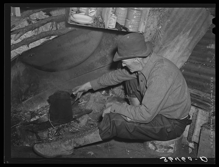
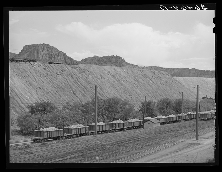
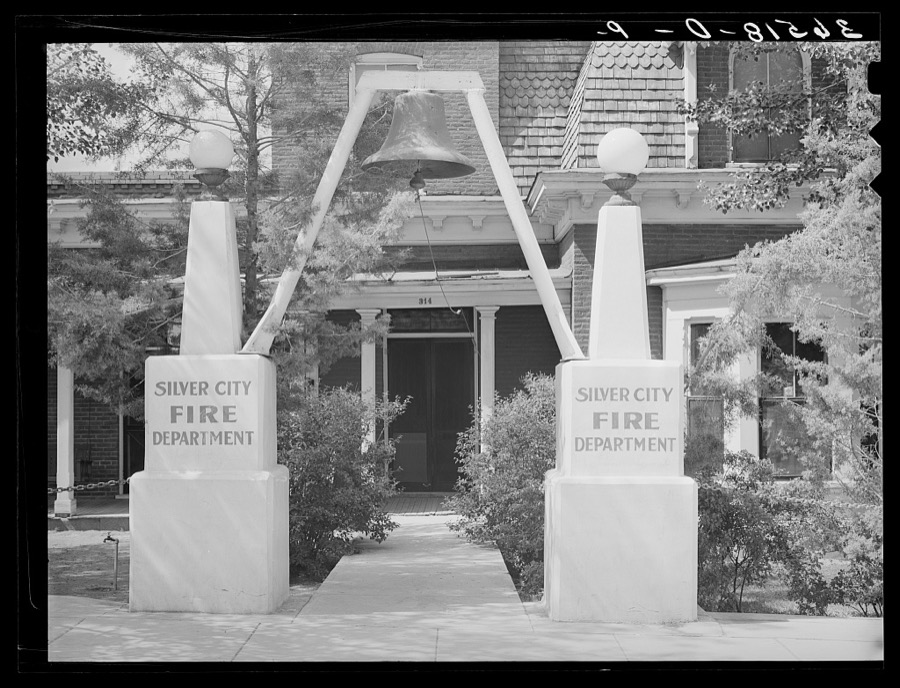
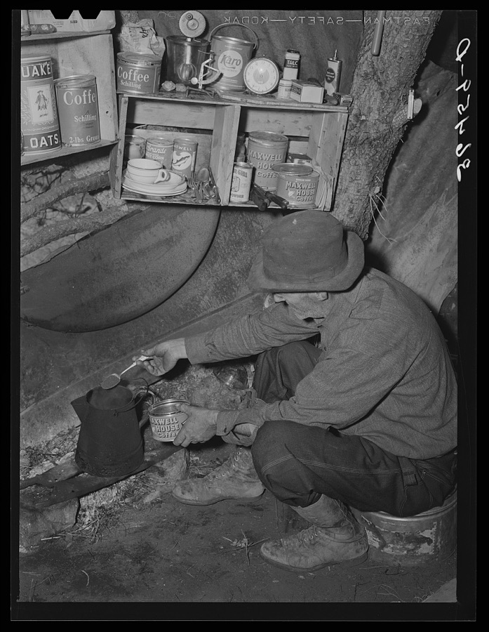
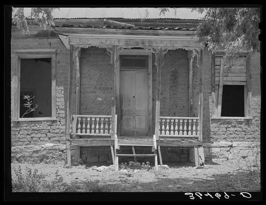
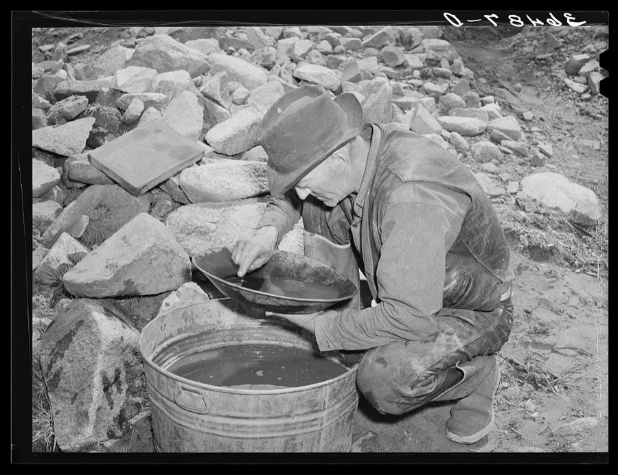
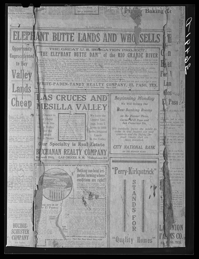
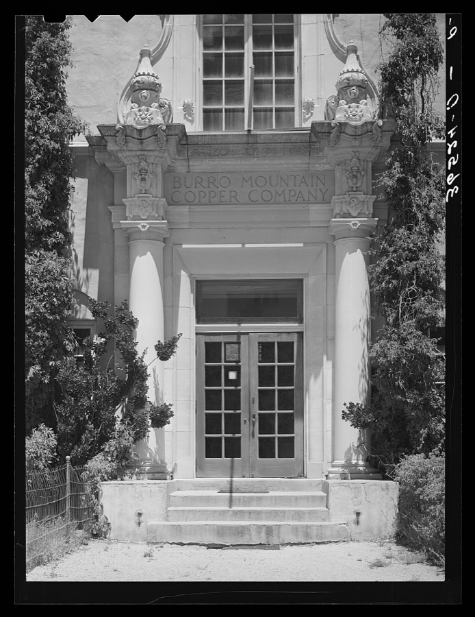
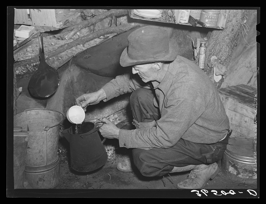
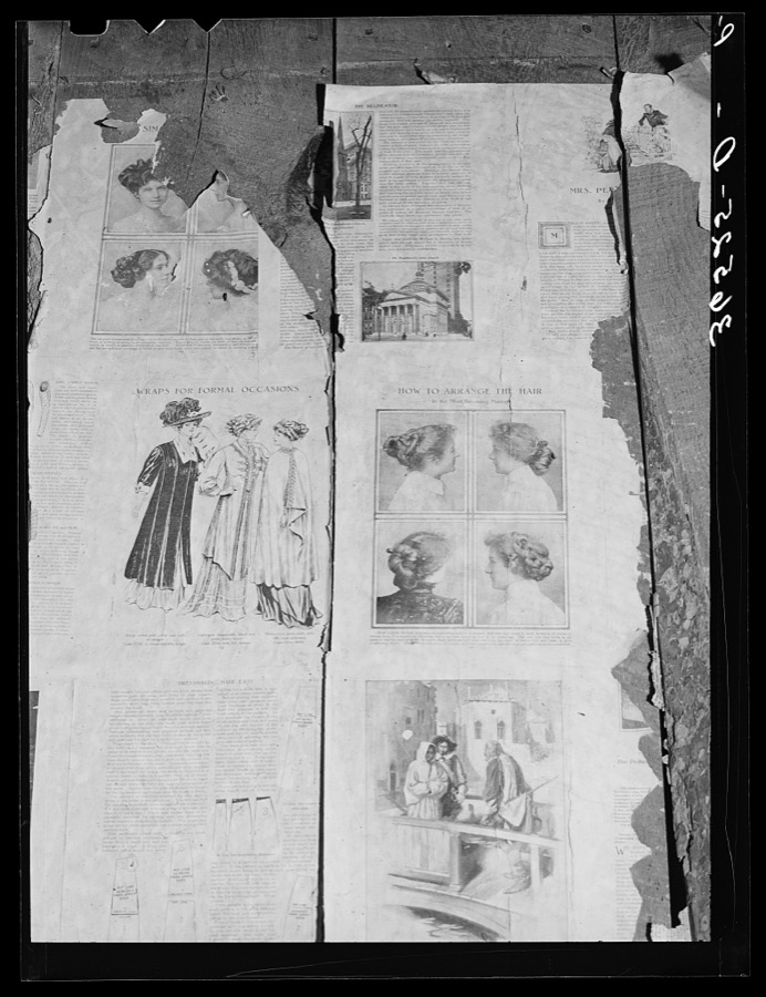
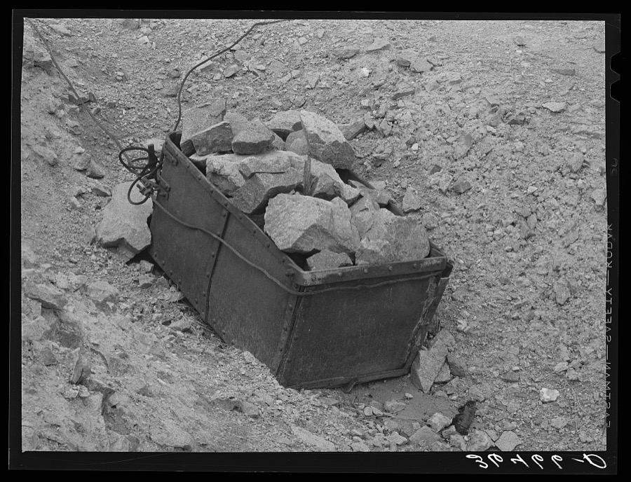
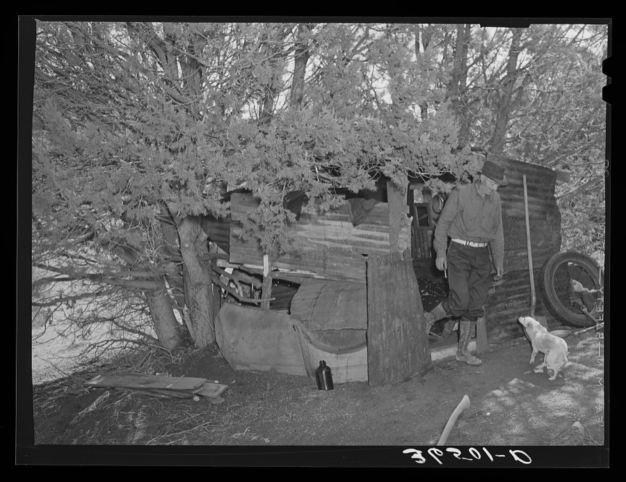
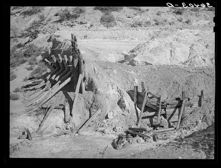
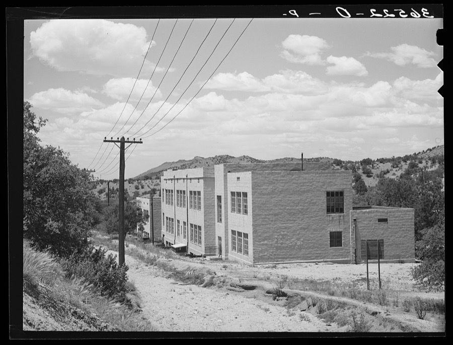
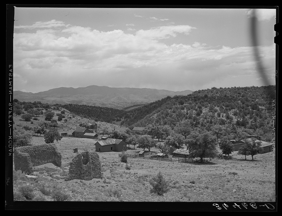
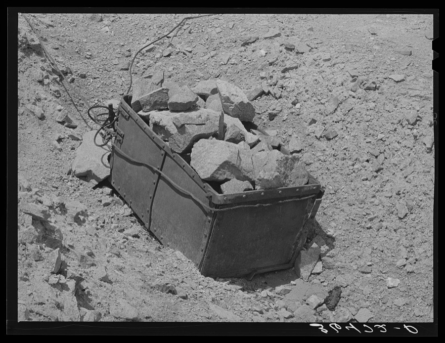
Taken for the Office of War Information and the Farm Security Administration, who photographed the country between 1935 and 1944. Works of United States government photographers, with no known restriction on use. Each opens its catalogue record.
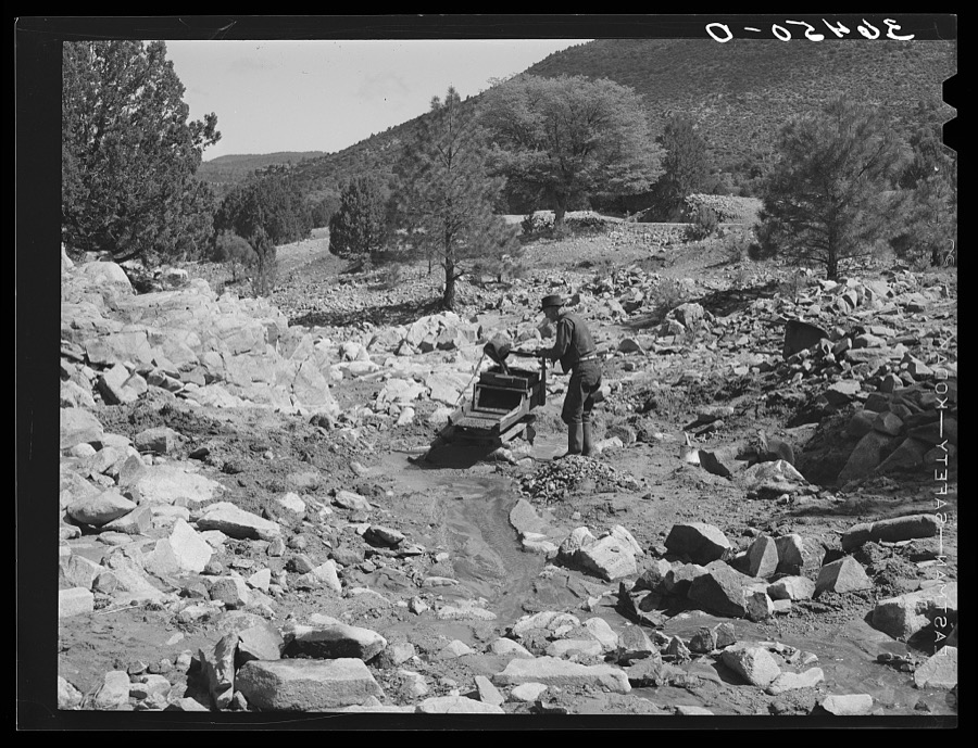
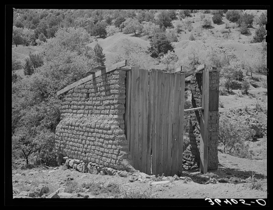
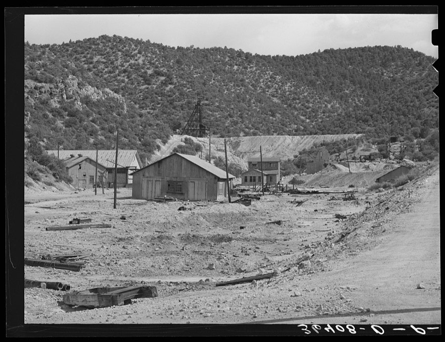
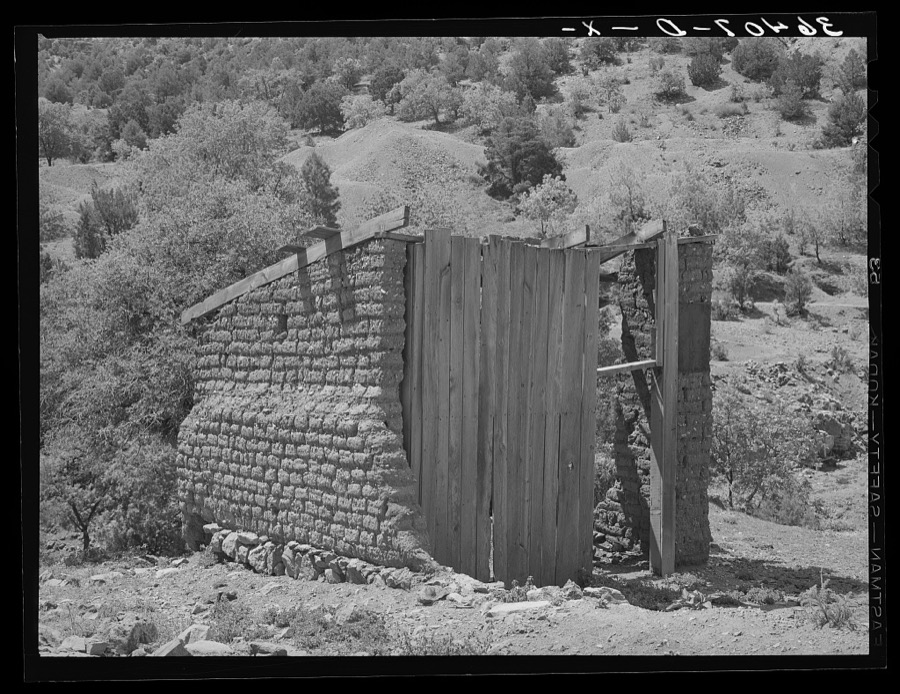
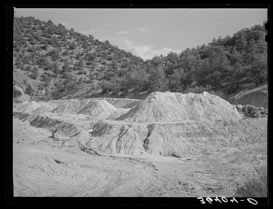
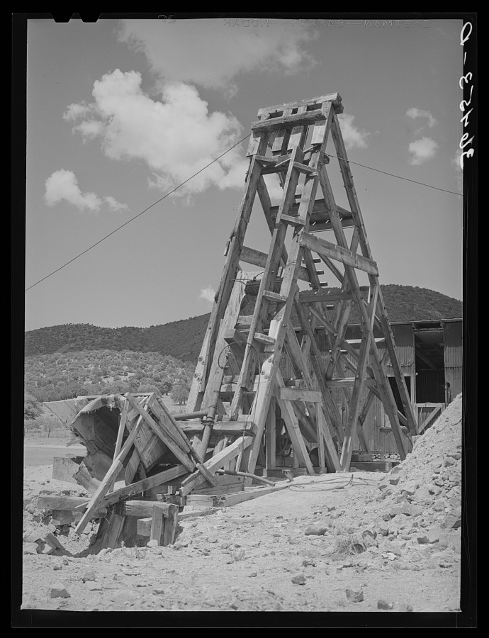
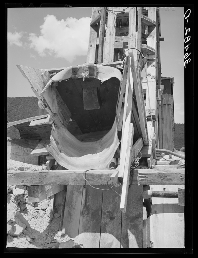
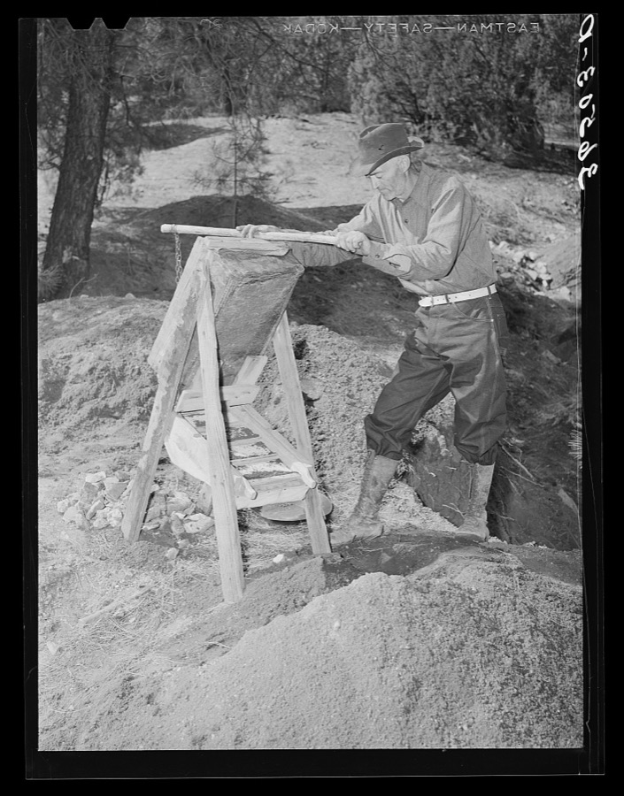
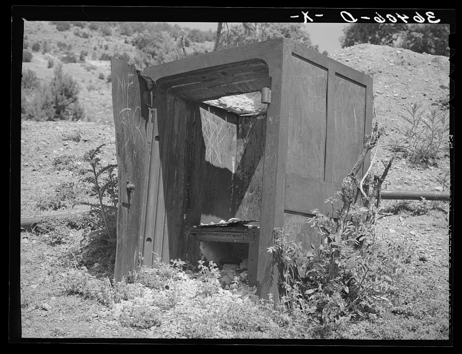
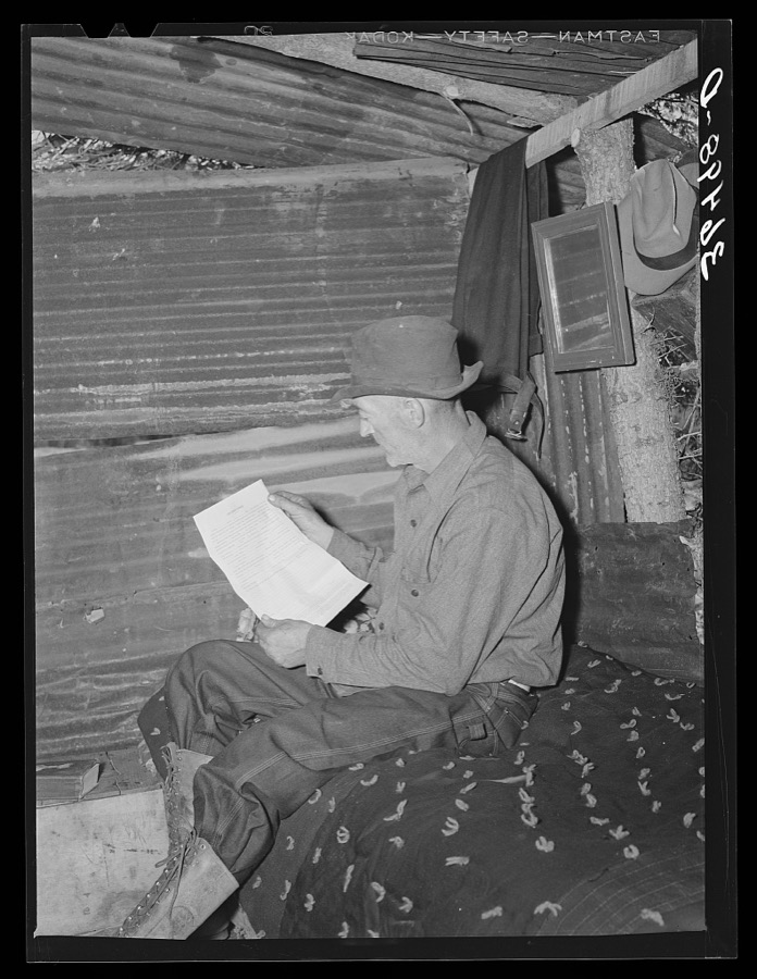
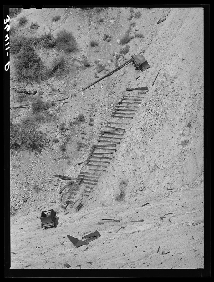
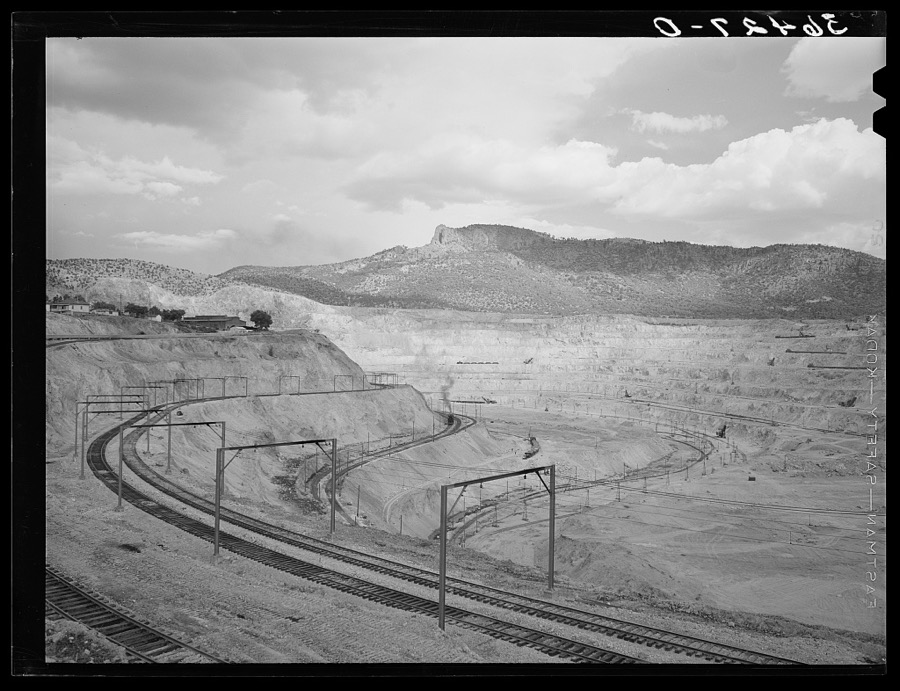
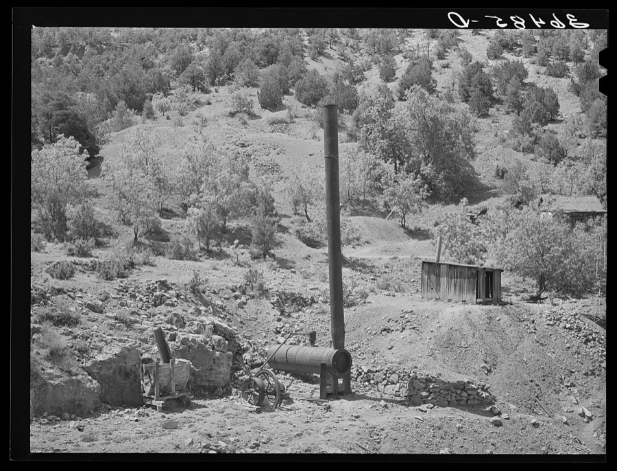
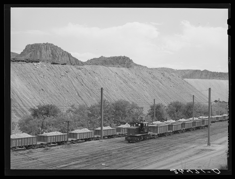
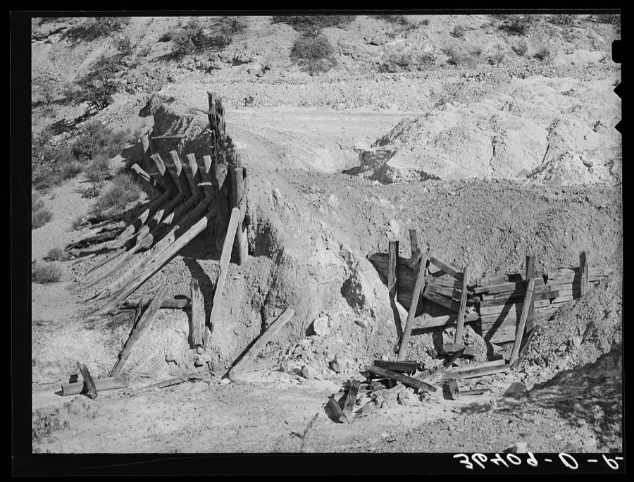
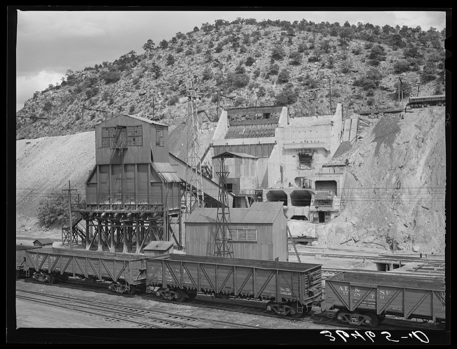
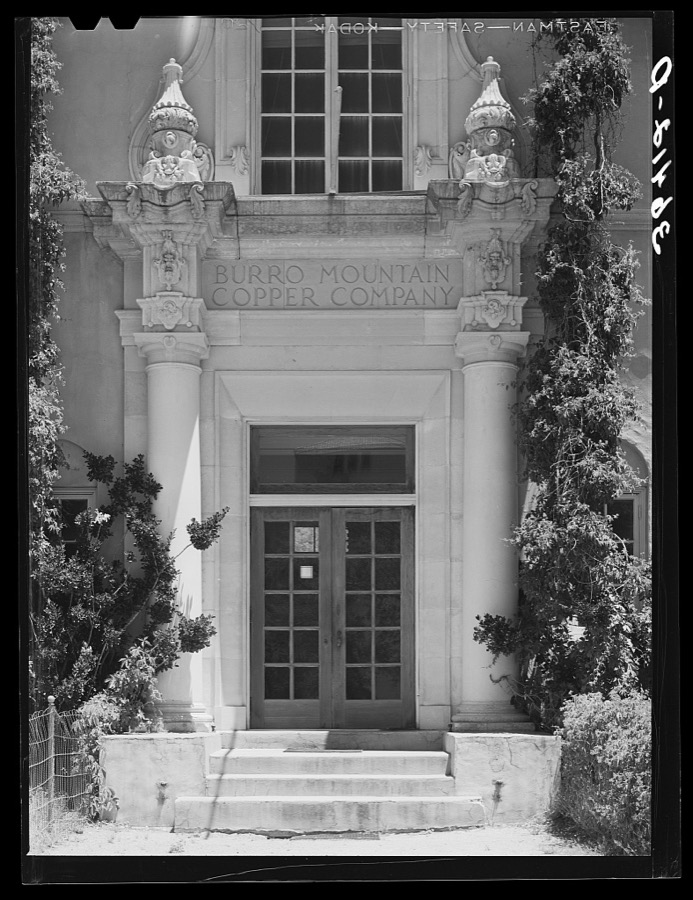
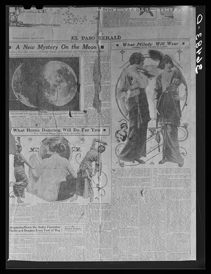
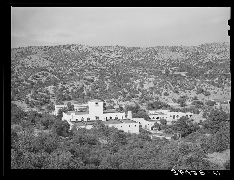
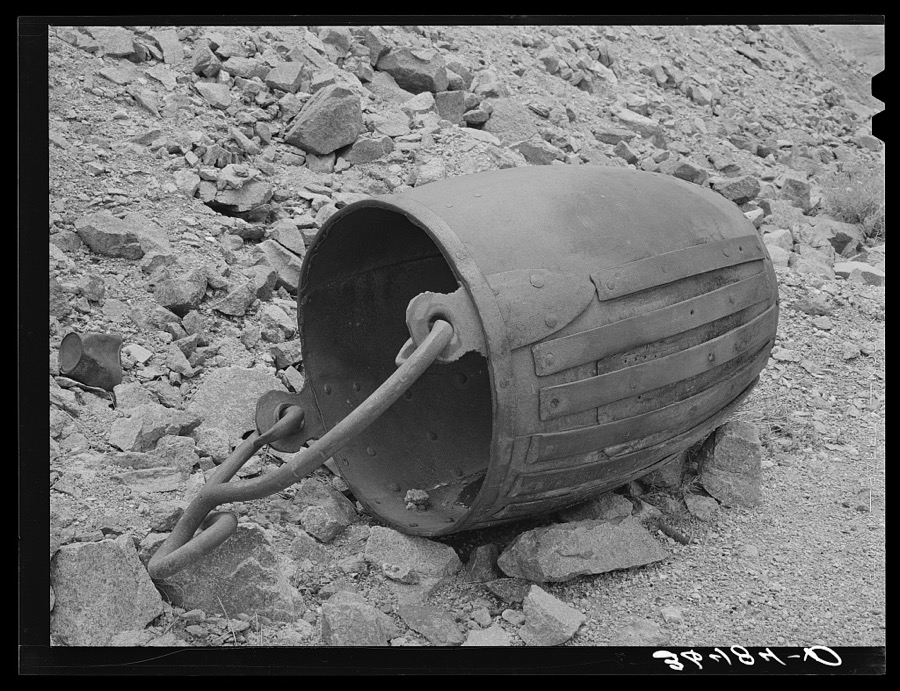
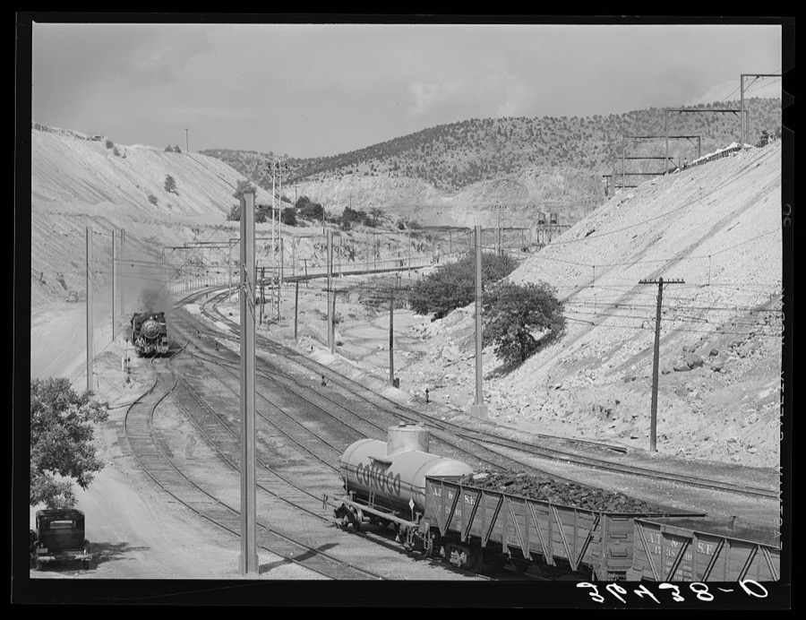
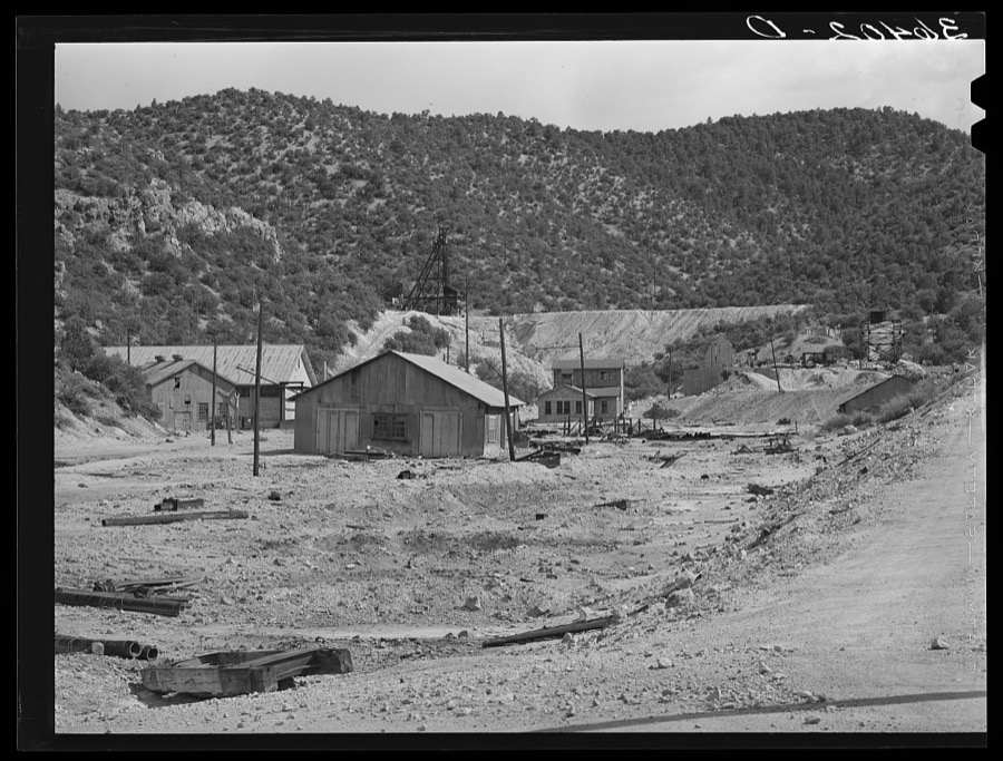
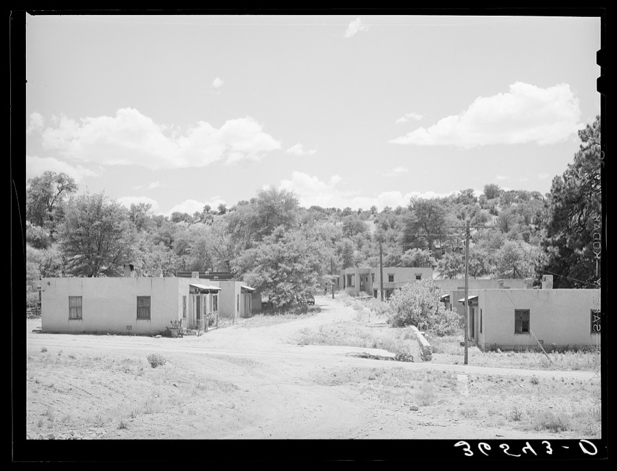
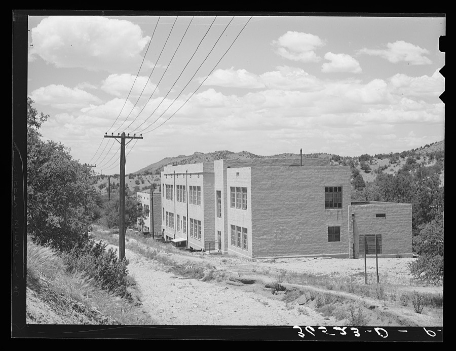
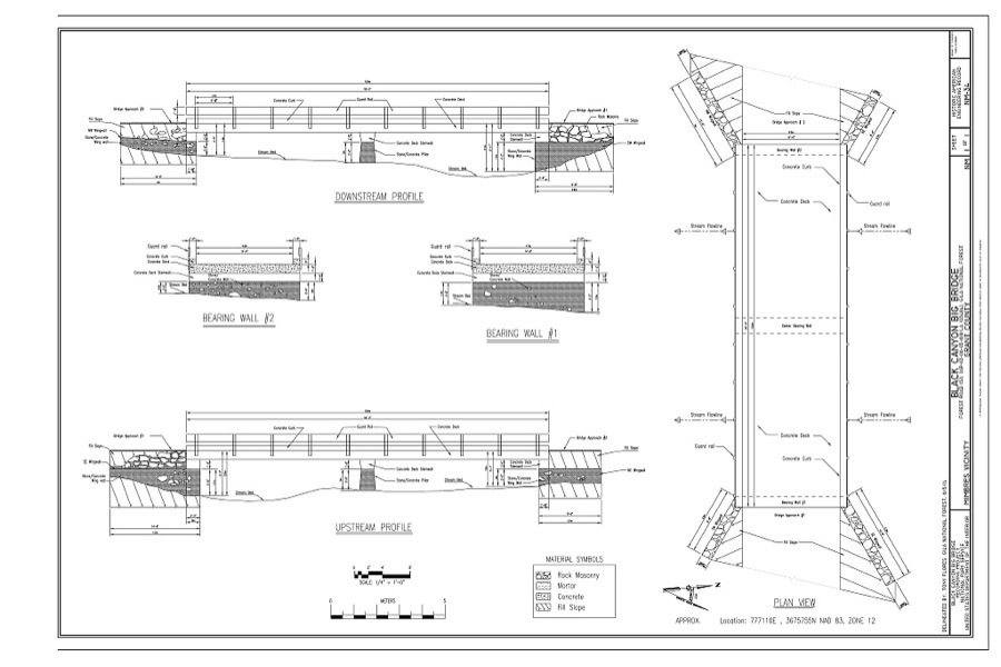
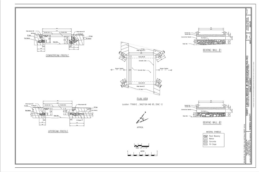
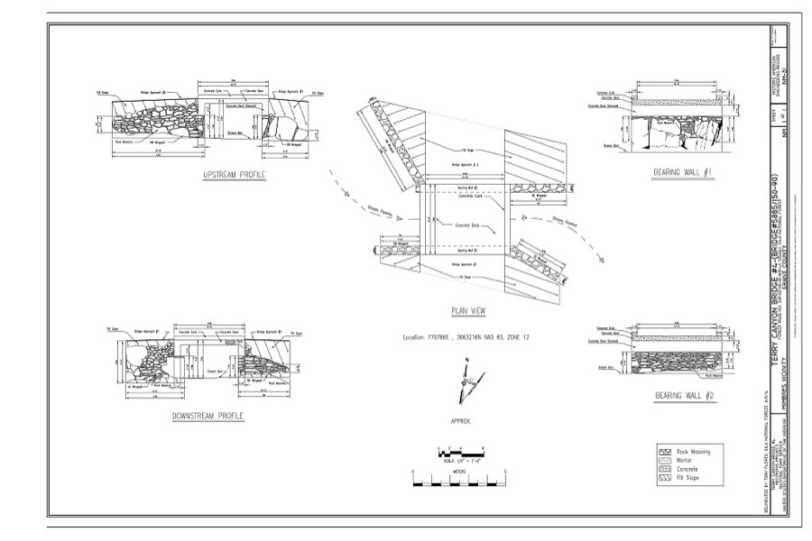
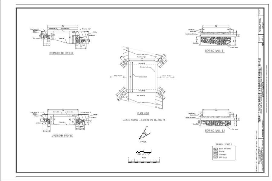
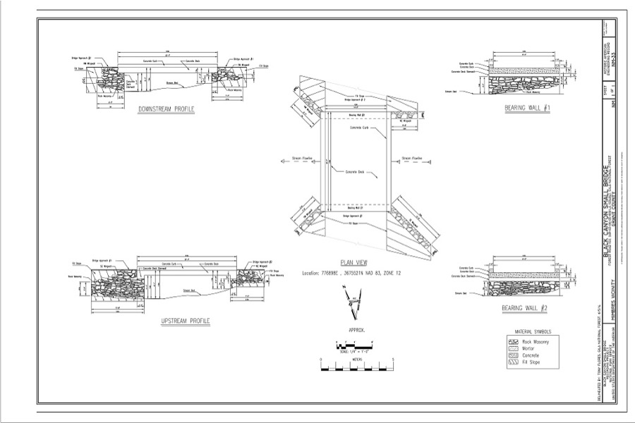
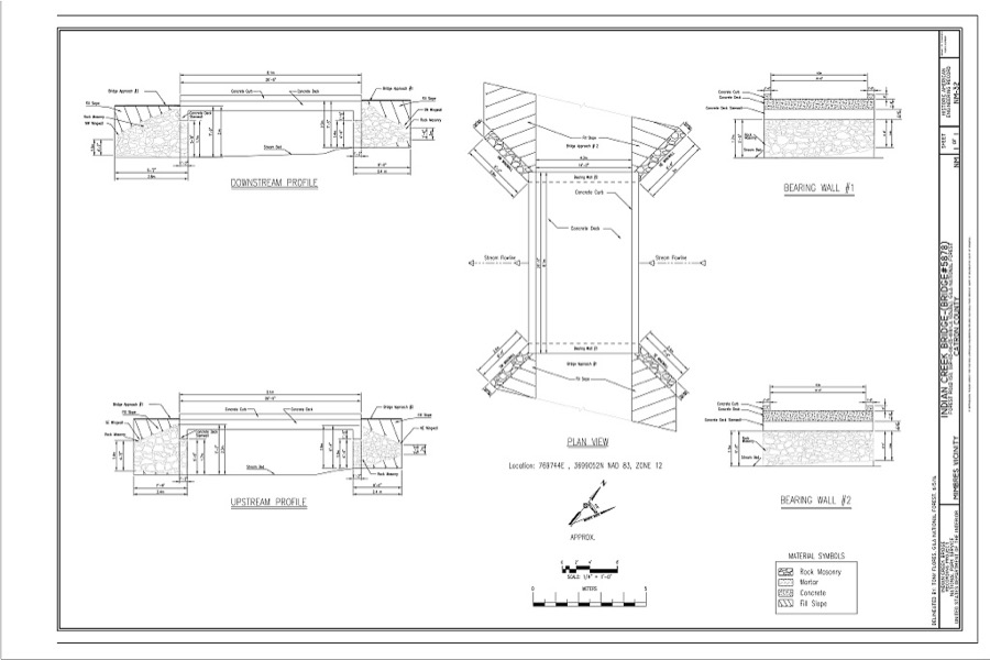
Every property in this county listed on the National Register of Historic Places, with the year it was listed and the federal nomination document.
| Photograph | Property | Type | Listed | Reference |
|---|---|---|---|---|
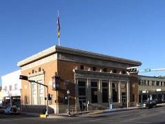 | 209 W Broadway | building | 1978 | 78001817 |
| 300 N Bullard | district | 1978 | 78001817 |
| Acklin Store | building | 1988 | 88000502 | |
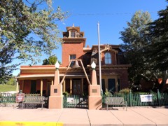 | H. B. Ailman House | building | 1975 | 75001163 |
| Trinidad Andazola House | building | 1988 | 88000500 | |
| Ramon Baca House | building | 1988 | 88000501 | |
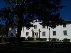 | Bowden Hall | building | 1988 | 88001552 |
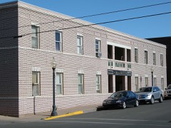 | Bullard Hotel | building | 1988 | 88000435 |
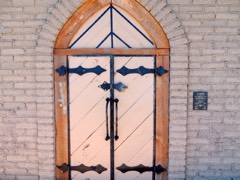 | Chihuahua Hill Historic District | district | 1984 | 84002943 |
| Tom Eby Storage Building | building | 1988 | 88000514 | |
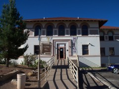 | Fleming Hall | building | 1988 | 88001553 |
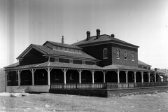 | Fort Bayard Museum and Education Building | building | 2002 | 02000726 |
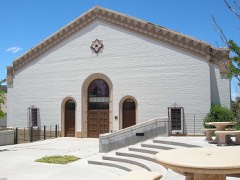 | Graham Gymnasium | building | 1988 | 88001554 |
| Luciana B. Grijalva House | building | 1988 | 88000499 | |
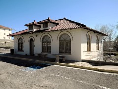 | Heating Plant | building | 1988 | 88001555 |
| Hooks-Moore Store | building | 1988 | 88000490 | |
| Otto Huechling House | building | 1988 | 88000496 | |
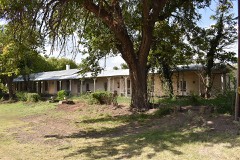 | L. C. Ranch Headquarters | building | 1978 | 78001816 |
| L.C. Parker Building | building | 1978 | 78001817 |
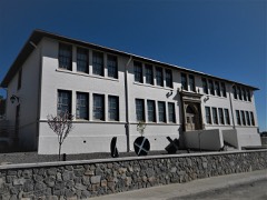 | Light Hall | building | 1988 | 88001556 |
| Menard-Galaz House | building | 1988 | 88000503 | |
| Mimbres School | building | 1988 | 88000491 | |
| Murray Hotel | building | 1978 | 78001817 |
| NAN Ranch | building | 1988 | 88000509 | |
| George O. Perrault House | building | 1988 | 88000507 | |
| Pinos Altos Historic District | district | 1984 | 84002945 | |
| Mauricio Portillo House | building | 1988 | 88000504 | |
| William Redding House | building | 1988 | 88000483 | |
| Reeds Peak Lookout Tower | structure | 1988 | 87002472 | |
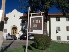 | Ritch Hall | building | 1988 | 88001557 |
| San Juan Historic District | district | 1988 | 88000481 | |
| San Juan Teacherage | building | 1988 | 88000508 | |
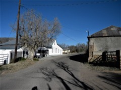 | San Lorenzo Historic District | district | 1988 | 88000480 |
| George Sibole Store | building | 1988 | 88000482 | |
| Silver City Historic District (Boundary Increase) | district | 2013 | 13000767 | |
| Silver City Historic District North Addition | district | 1983 | 83001620 | |
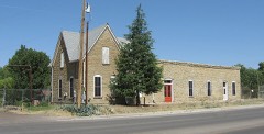 | Silver City Water Works Building | building | 1984 | 84002950 |
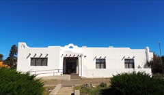 | Silver City Woman's Club | building | 2003 | 03000886 |
| Soliz-Baca House | building | 1988 | 88000518 | |
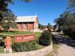 | St. Mary's Academy Historic District | building | 1983 | 83001621 |
| Antonio Torres House | building | 1988 | 88000505 | |
| Maria J. and Juan Trujillo House | building | 1988 | 88000516 | |
| Jesus Valencia House | building | 1988 | 88000506 | |
| Ysabel Valencia House | building | 1988 | 88000493 | |
| Dr. Granville Wood House | building | 1988 | 88000498 |
Sampled issues, machine-read from the Library of Congress scan and published page by page, so every headline and column is searchable text.
Silver City, N.M., 1883 to 189?. Machine-read from the Library of Congress scan.
Silver City, N.M., 1894 to 1???. Machine-read from the Library of Congress scan.
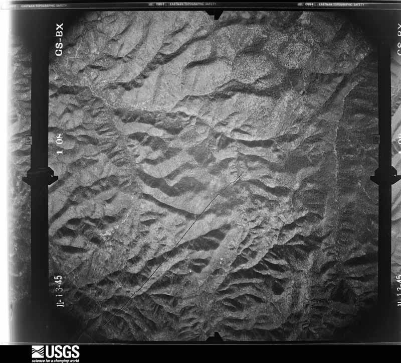
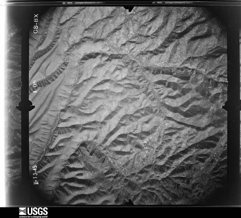
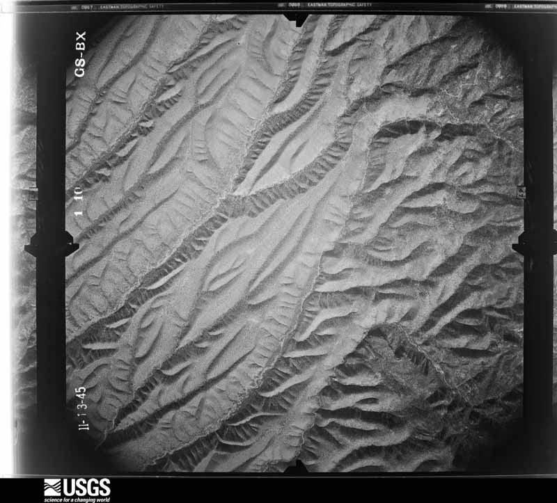
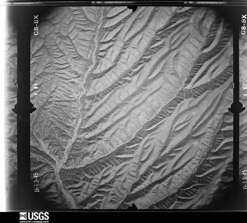
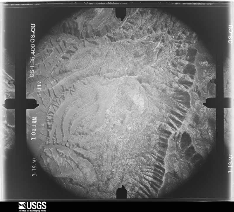
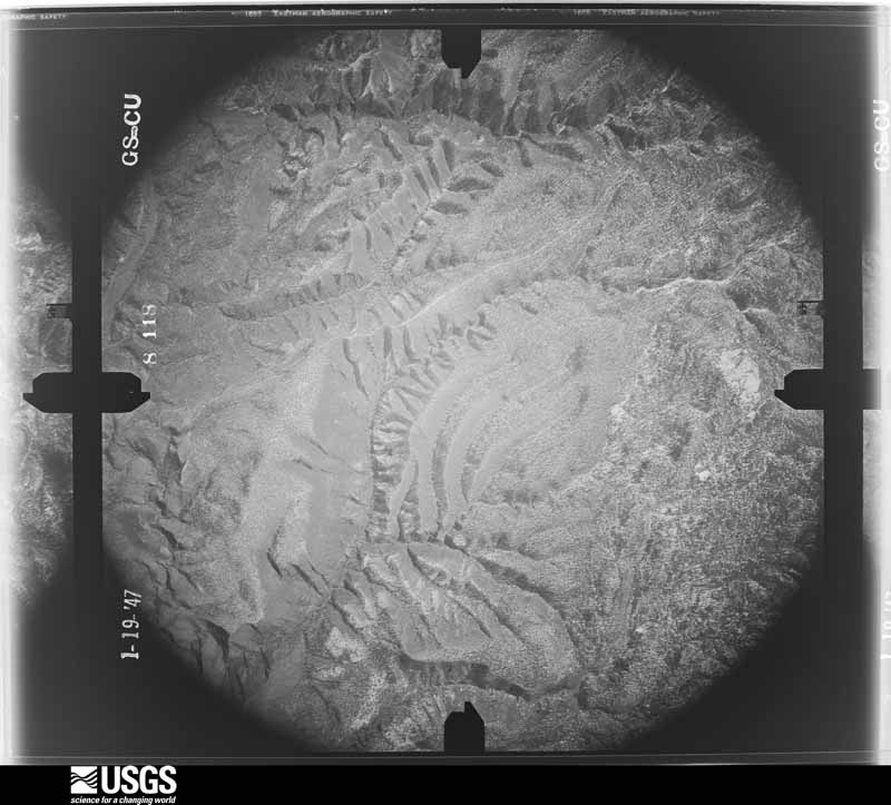
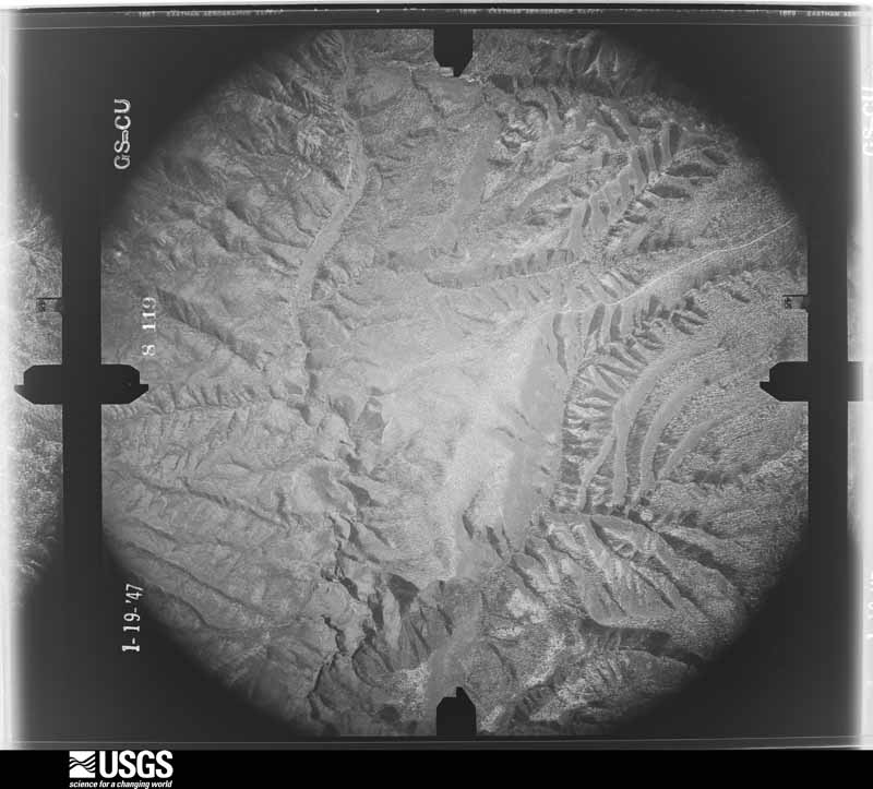
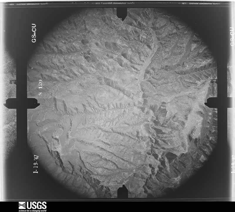
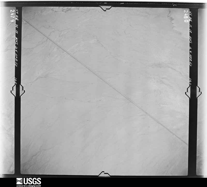
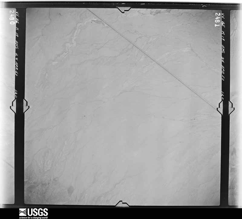
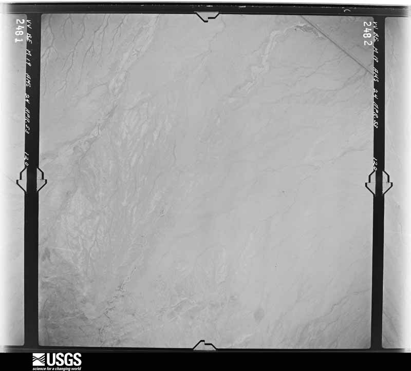
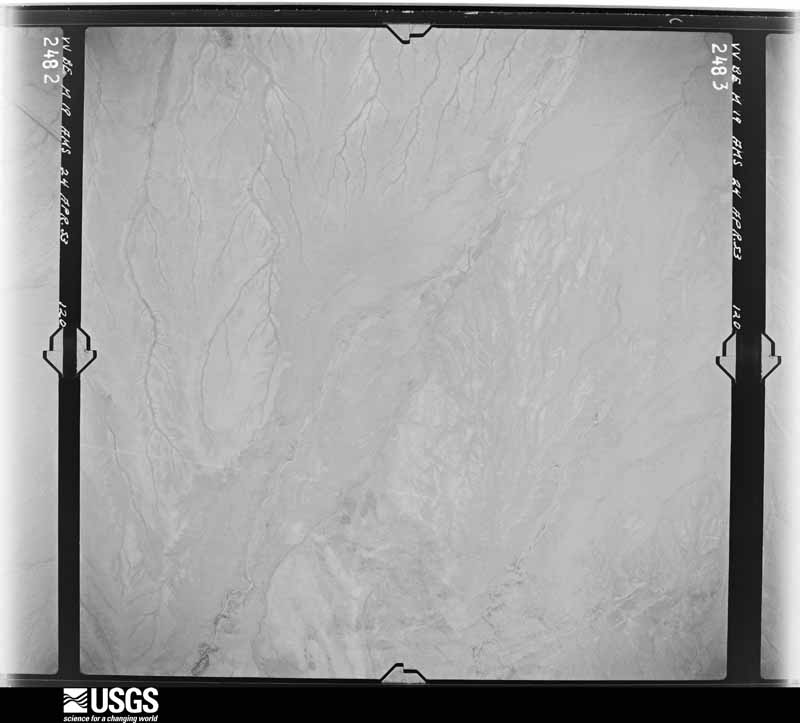
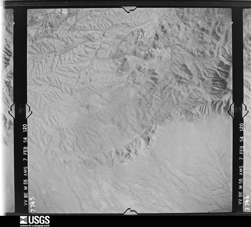
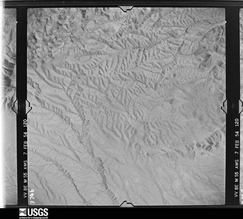
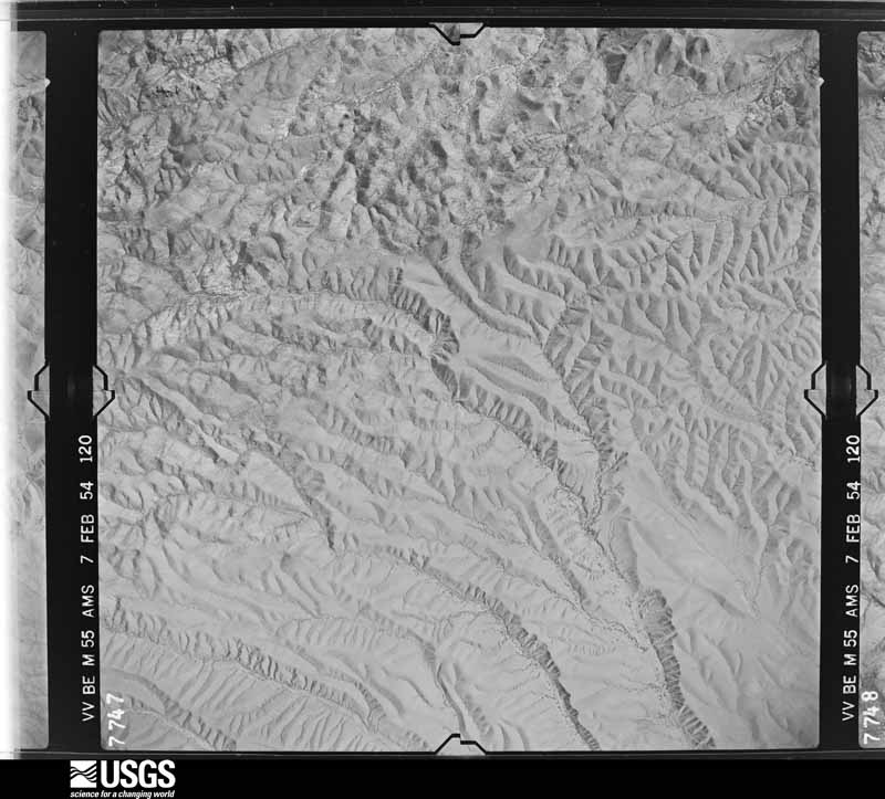
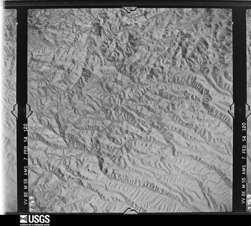
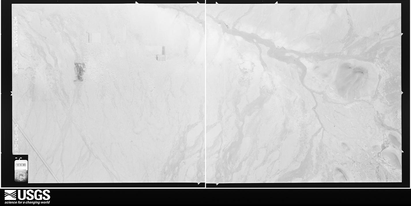
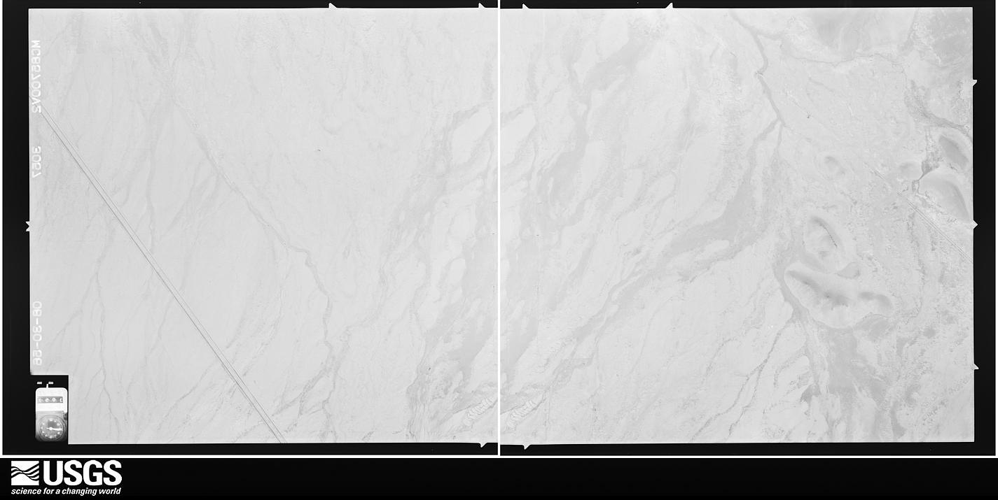
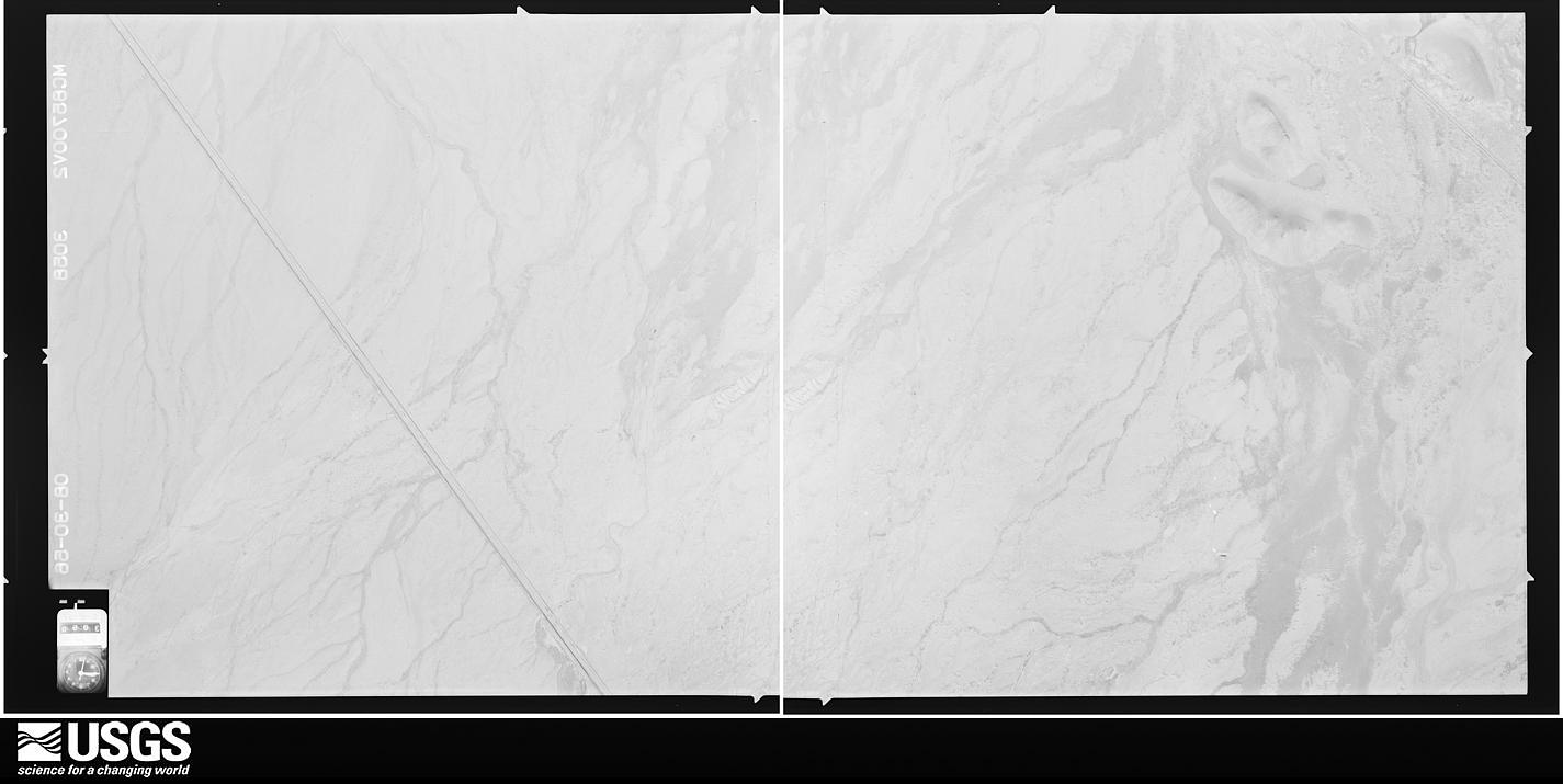
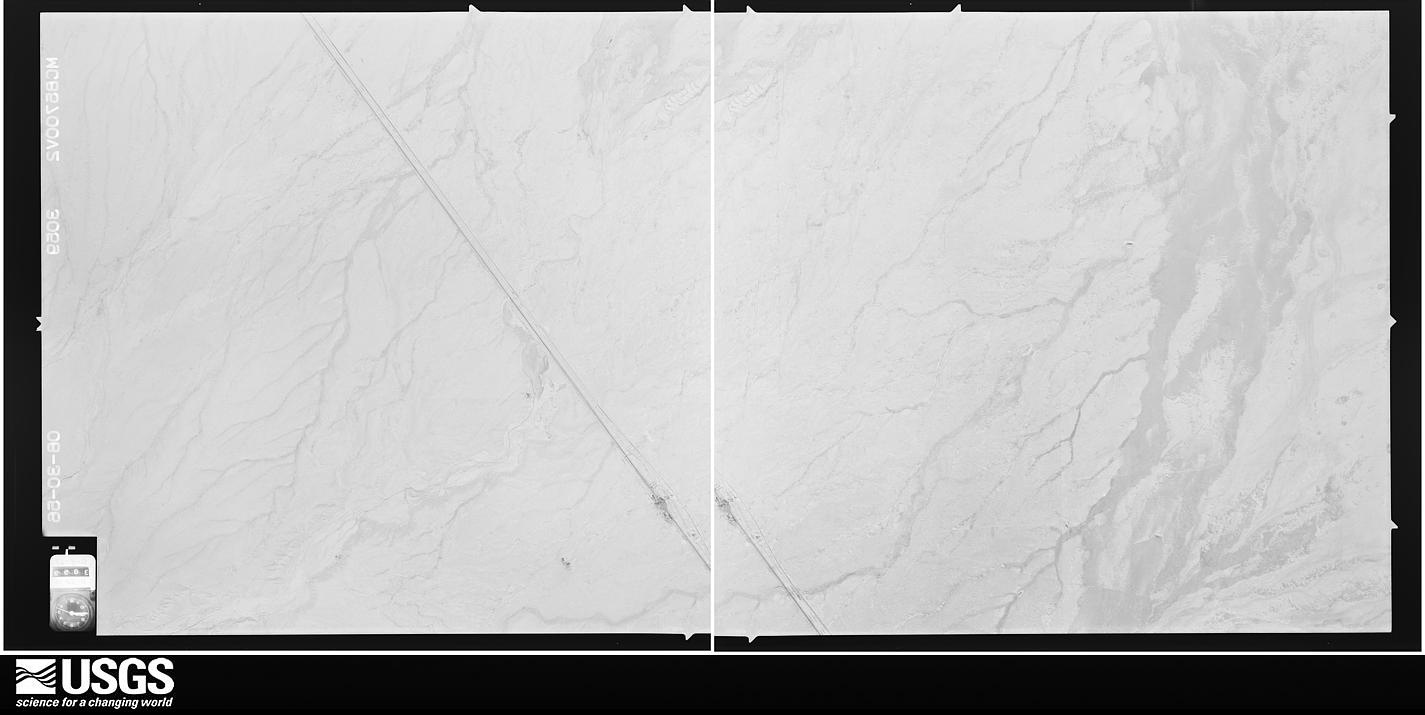
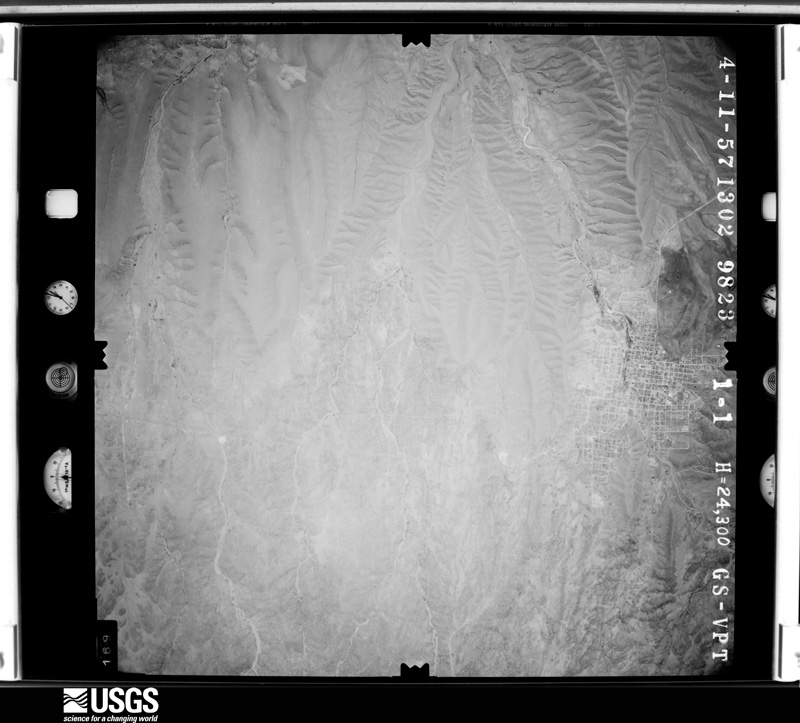
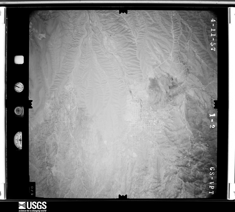
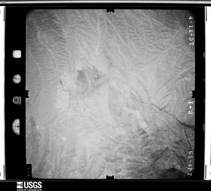
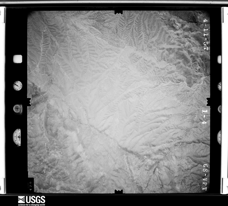
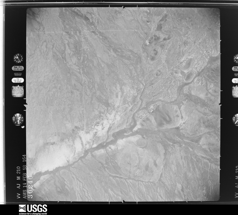
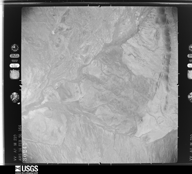
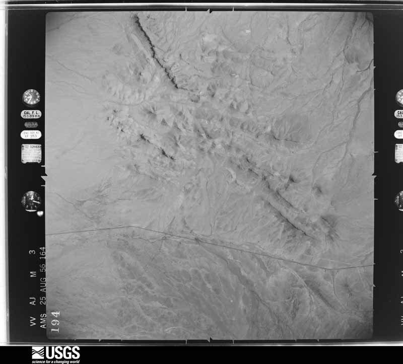
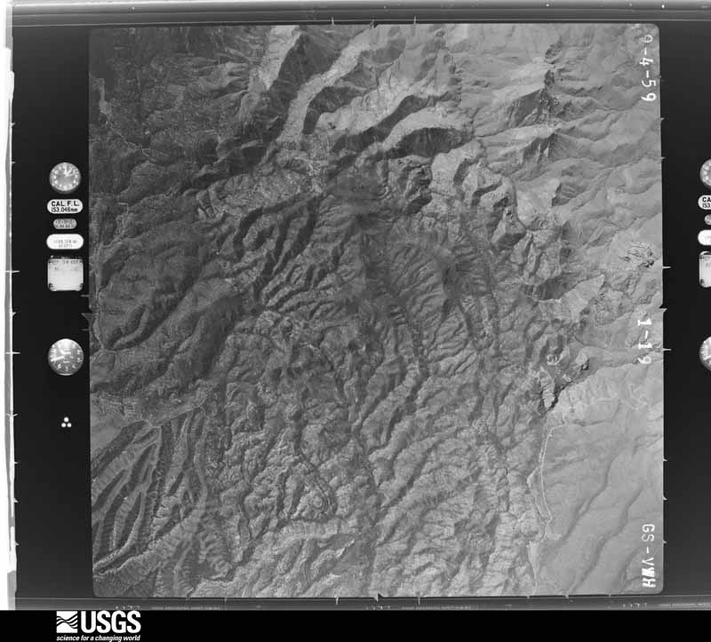
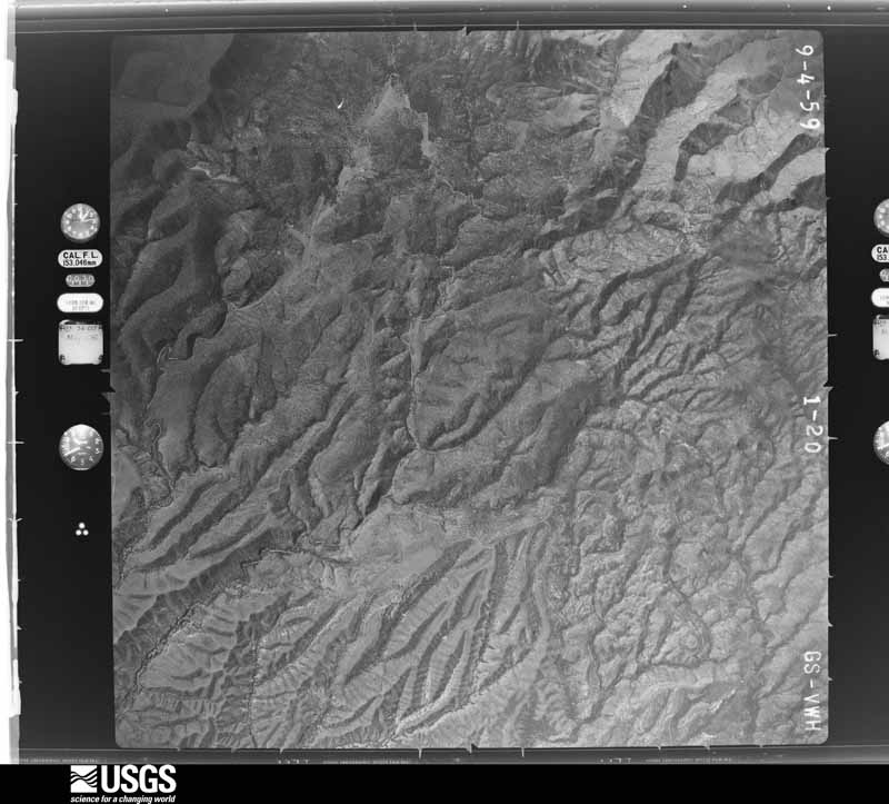
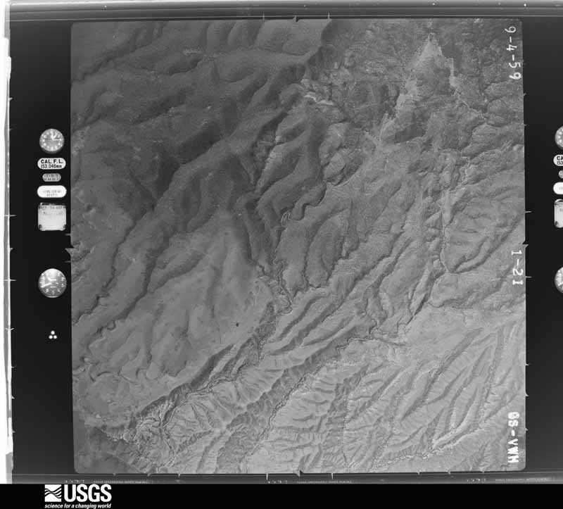
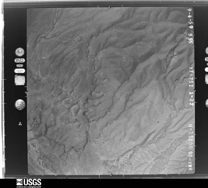
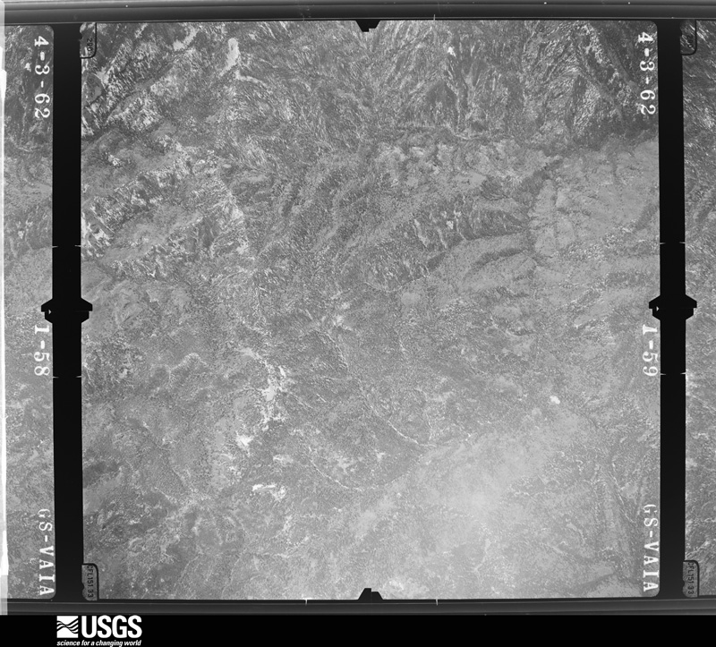
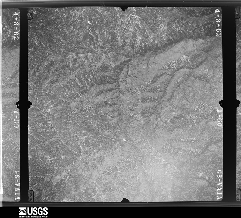
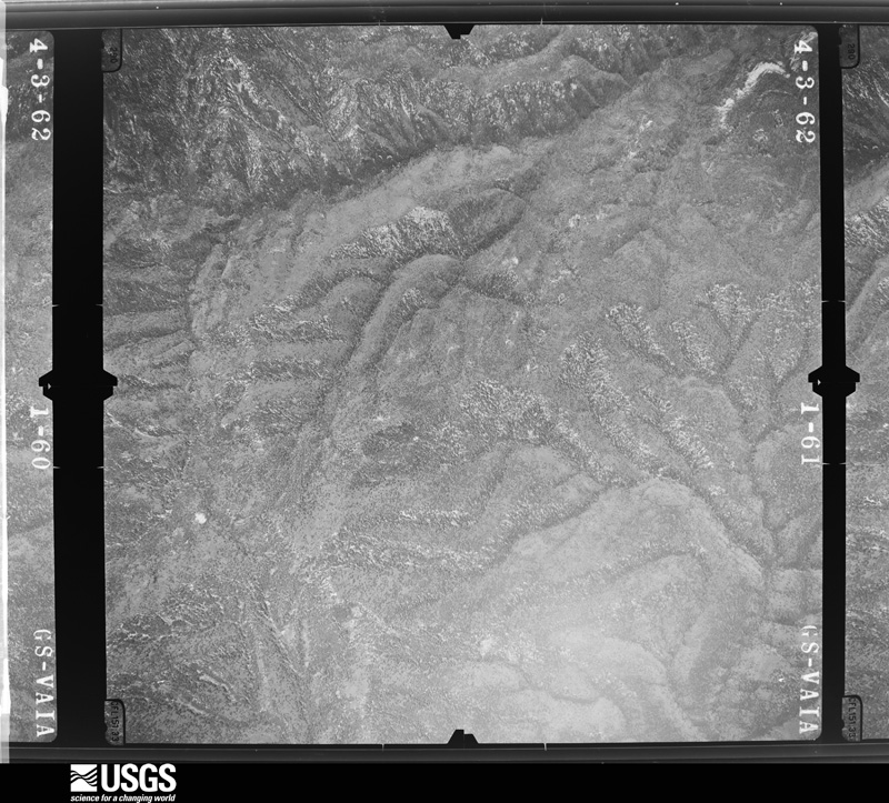
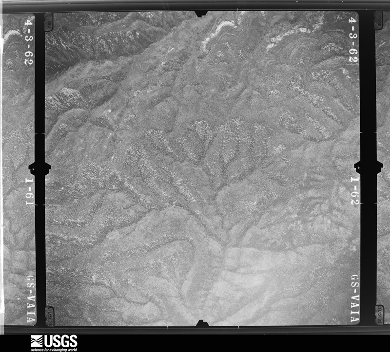
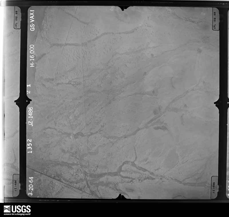
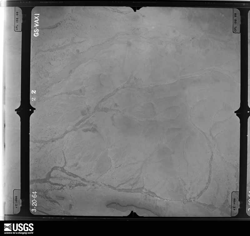
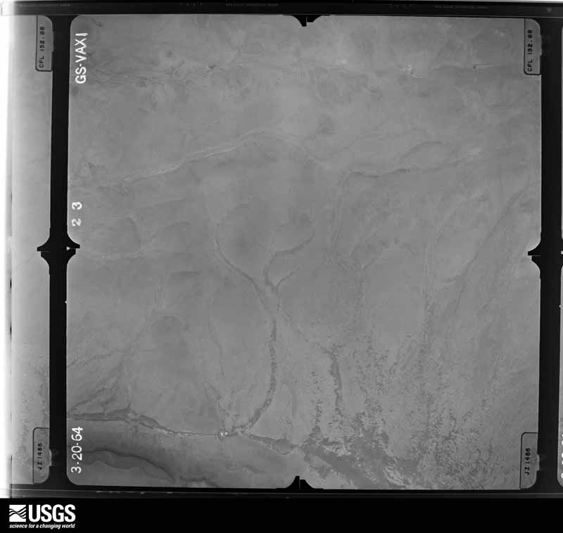
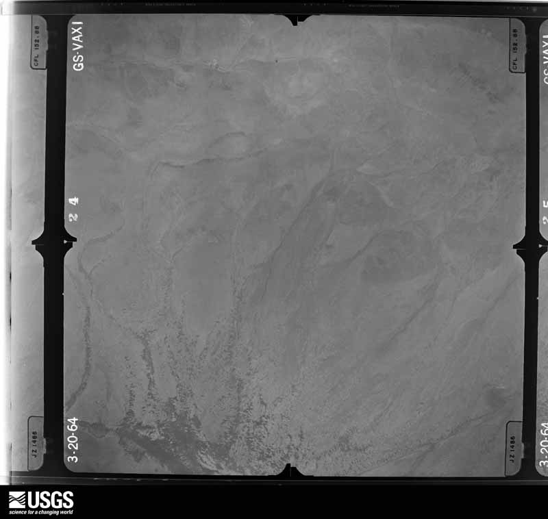
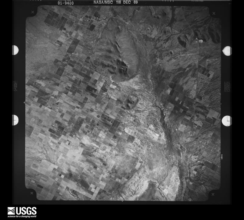
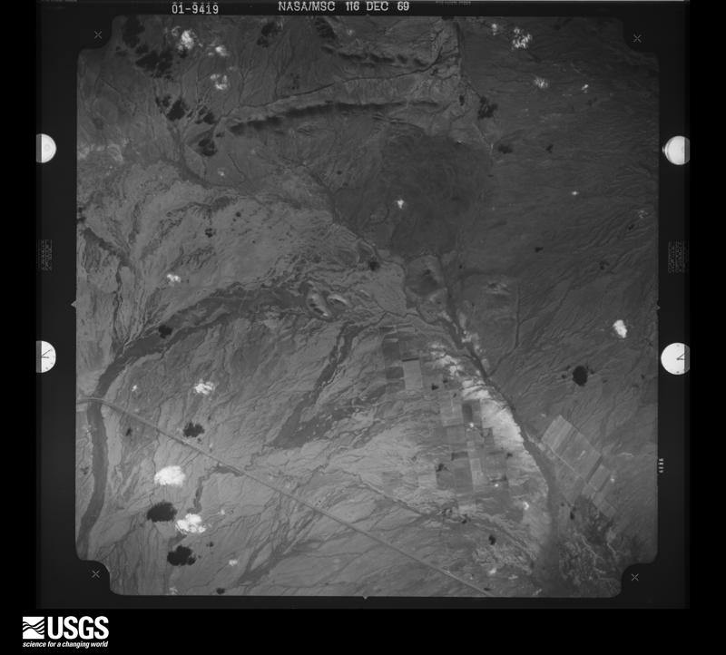
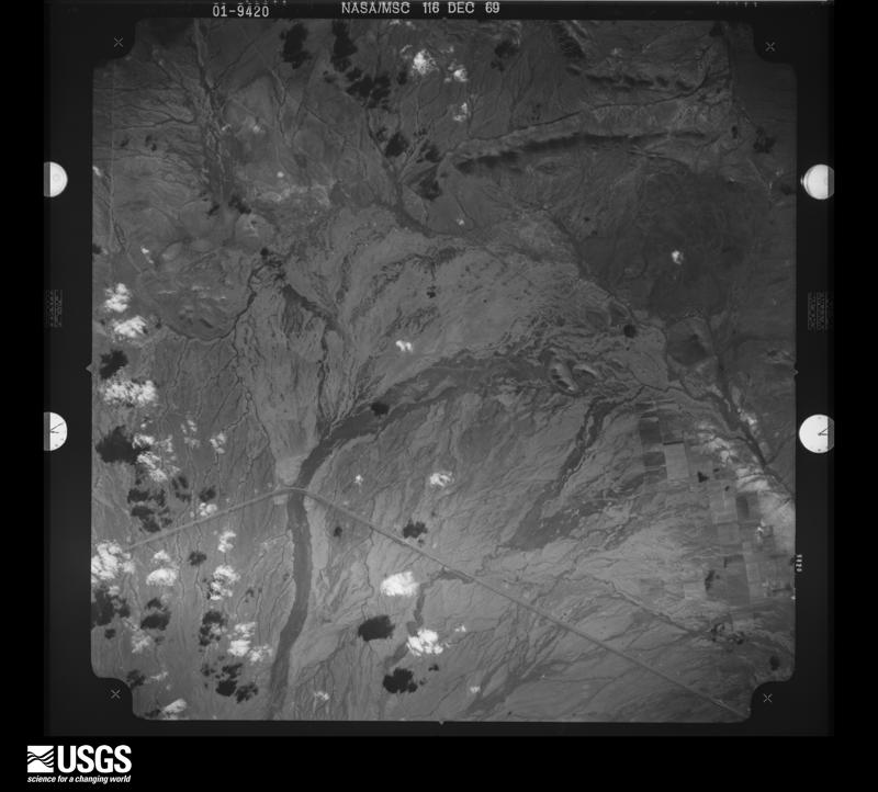
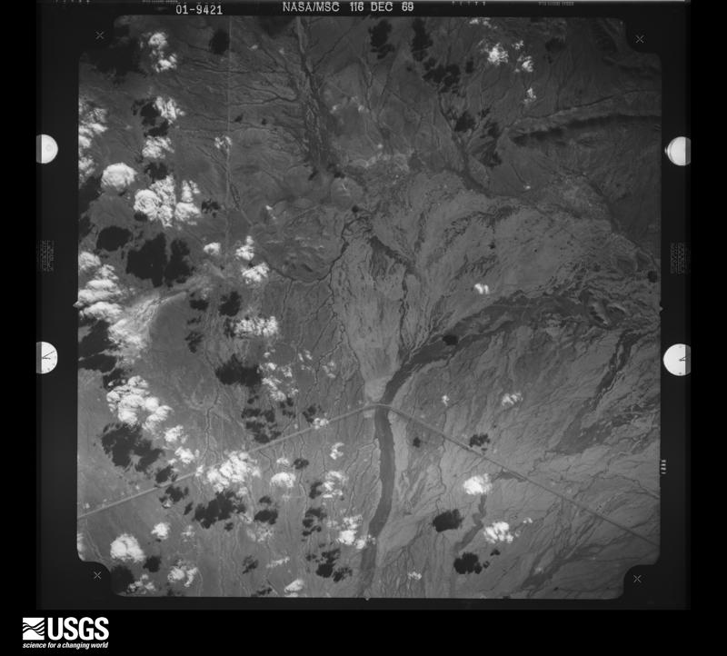
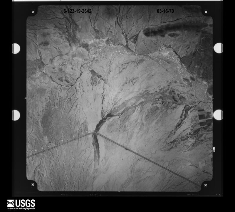
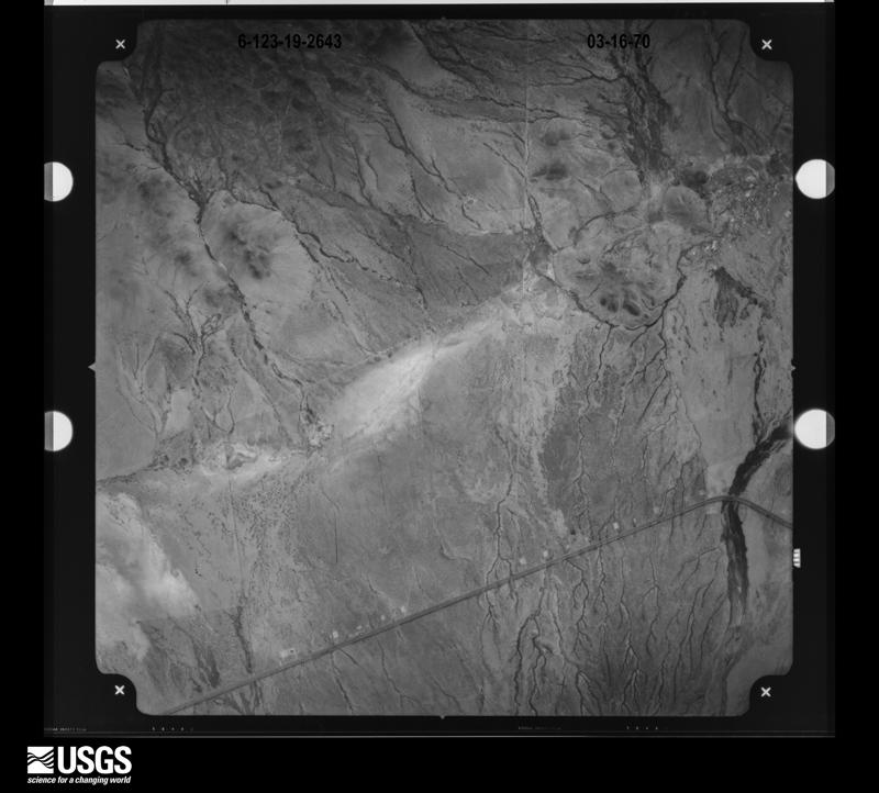
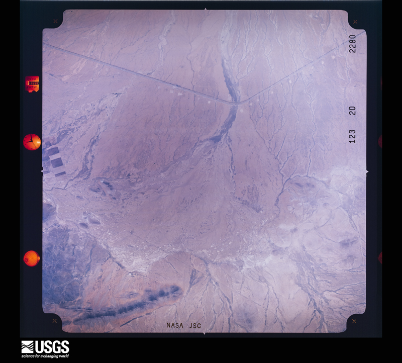
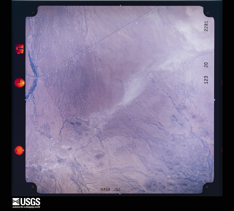
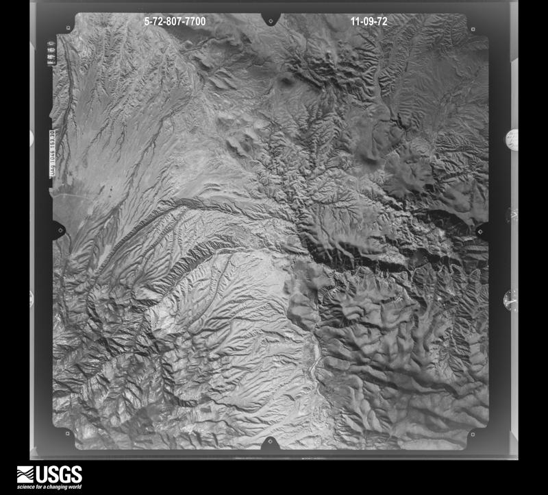
Flown by the U.S. Geological Survey between 1937 and 1989, the Aerial Photo Single Frames collection is the definitive mid-century view of the land: fields, roads and rivers as the camera saw them. The Survey holds 9,753 frames inside the rectangle that bounds this county; the 48 frames below were taken over the county itself, chosen across the decades of flights (at most four a year from that rectangle), so one flight cannot crowd out the rest. The full set is free to browse and download at EarthExplorer under the dataset Aerial Photo Single Frames.
The thermometers that kept this county's weather, and the gages that measured the flow of its streams, as the federal records hold them. The extremes below are measured values from those records, not estimates.
Who lived here in 1950, one enumeration district at a time, as the Census Bureau described each district. Each row opens its official National Archives result, with Population Schedules and ED Maps available there.
Every wildfire the federal occurrence database records inside this county: 2,013 of them, burning about 685,423 acres. 1,181 started naturally and 28 were recorded as arson. Each settlement page carries the fires within five miles of it.
| Reported cause | Fires |
|---|---|
| Natural | 1181 |
| Missing data/not specified/undetermined | 404 |
| Recreation and ceremony | 181 |
| Equipment and vehicle use | 68 |
| Smoking | 65 |
| Debris and open burning | 52 |
| Arson/incendiarism | 28 |
| Railroad operations and maintenance | 8 |
| Power generation/transmission/distribution | 7 |
| Other causes | 7 |
| Misuse of fire by a minor | 7 |
| Fireworks | 4 |
| Firearms and explosives use | 1 |
The five largest, by the area the report gives. None of them was recorded as arson.
| Date | Cause | Size | Reported by | Name on the report |
|---|---|---|---|---|
| 7 June 2013 | Natural | 234,000 acres | Gila National Forest | SILVER |
| 28 April 2011 | Recreation and ceremony | 88,835 acres | Gila Cliff Dwellings National Monument | MILLER |
| 31 May 2003 | Natural | 65,000 acres | Gila National Forest | DRY |
| 14 May 1993 | Natural | 32,000 acres | Gila National Forest | BRUSH |
| 27 June 1995 | Natural | 29,000 acres | Gila National Forest | BONNER |
| 4 June 2017 | Natural | 20,501 acres | Gila National Forest | CORRAL |
| 21 June 2003 | Natural | 18,585 acres | Gila National Forest | TURNBO |
| 6 June 2020 | Natural | 18,108 acres | Gila National Forest | GOOD |
Every settlement page carries the fires within five miles of it - see the settlement index below.
The NOAA Storm Events Database holds 171 reports for this county, causing 2 deaths, no injuries and about $2,288,750 in recorded property damage. Each settlement page carries the reports that name it.
| Kind of event | Reports |
|---|---|
| Flash Flood | 64 |
| Hail | 58 |
| Thunderstorm Wind | 26 |
| Heavy Rain | 11 |
| Tornado | 7 |
| Flood | 5 |
The most serious of them, by death, then injury, then recorded damage. The accounts are quoted exactly as the forecast office filed them.
| When | Event | Place named | Harm | What the report says |
|---|---|---|---|---|
| September 2017 | Flash Flood | Silver City | 2 killed | Widespread rainfall amounts of 2 inches to almost 3.5 inches occurred around Silver City in the early morning hours. A water rescue was necessary in Tyrone. One vehicle was swept away in the Pinos Altos Creek low water crossing on East 19th Street. The vehicle became wedged in culvert running under US 180, but the driver and occupant were washed downstream. One body was recovered about 0.8 miles downstream near the confluence with Silva Creek. A second body was recovered about 1.2 miles downstream in the Silver City big ditch reach of San Vicente Arroyo near the Broadway Street bridge. |
| September 2002 | Hail | Silver City | $1,000,000 | no account filed |
| August 1979 | Tornado (F1) | not stated | $250,000 | no account filed |
| October 1957 | Tornado (F3) | not stated | $250,000 | no account filed |
| August 2001 | Hail | Silver City | $120,000 | A slow moving severe thundertorm formed just north of Silver City and gradually moved southward across the western half of town and into neighboring Tyrone. Hail, mainly 3/4 inch in diameter, fell for 40 minutes and accumulated up to 6 inches. Within this time, hailstones up to 1.25 inches in diameter fell briefly. Vegetation was stripped, skylights were broken and numerous roofs suffered damage. Automobiles were left with small dents. Snowplows were required to clear the two major highways in western Silver City. |
| July 1999 | Flash Flood | Separ | $100,000 | A weather spotter measured 4 inches of rain at Separ (between Deming and Lordsburg) from a slow moving thunderstorm. The force of the running water washed out some of a railroad bed, knocked over much of the fencing in the area, and resulted in extensive erosion damage to local roads. |
| July 2006 | Flash Flood | Silver City | $80,000 | Major street flooding, road closures, and 2 rescues of elderly from homes with 4 feet of water resulted when 3.36 inches of rain fell within 2 hours. |
| July 2010 | Thunderstorm Wind | Gila | $75,000 | A newly placed trailer was overturned and blown off supports and a large trampoline was removed from property on south side of Gila. Another mobile home near River Road suffered significant roof damage and a tree was uprooted on the property. Numerous flattened yucca stalks were reported. ||An uprooted pine tree was observed on a property along highway 153 between Hooker Loop and Lee Road. Hail up to a half inch in diameter was also observed. |
| January 2008 | Flood | Silver City Meown Ar | $50,000 | Heavy rain (2 inches) on a snowpack led to a flood wave which badly damaged highway bridges south of Gila Hot Springs. Highway 15 was impassable for several hours. |
| July 2007 | Flash Flood | Bayard | $50,000 | Nearly 3 inches of rain produced flooding which lead to the closure of two roads in the Bayard area. A handful of businesses were damaged, Cobre High School was 3 feet deep in water, and one family was displaced (aided by the local Red Cross) when the foundation of their house cracked. A water rescue was performed in nearby Santa Clara. |
| July 2006 | Flash Flood | Arenas Vly | $50,000 | Runoff from heavy rains over the Pinos Altos Range caused a flash flood in the Arenas Valley and Santa Clara. Some evacuations took place, and a few homes sustained structural damage. |
| July 2000 | Flash Flood | San Lorenzo | $50,000 | A slow moving cluster of thunderstorms dropped very heavy rain around San Lorenzo, which resulted in the Mimbres River flooding its banks and submerging Highway 152. The highway was closed, with the water level rising 15 feet above normal to cover a bridge. Some homes in San Lorenzo experienced water damage. |
| January 1993 | Thunderstorm Wind | Tyrone | $50,000 | no account filed |
| August 2014 | Thunderstorm Wind | Central | $25,000 | The Silver City Sun News reported that two large trees fell on vehicles in Santa Clara with one of them possibly totaled. One of the vehicles was a Hummer. Recent heavy rainfall likely saturated the ground around the trees prior to the event. No thunderstorm affected the Santa Clara area, but outflow from dying storms to the north moved through the area. The peak gust reported at the Silver City Airport was 46 mph. |
| May 2007 | Hail | Mimbres | $20,000 | Hail, mainly quarter to pin pong ball size, accumulated to a depth of at least a foot in Mimbres. The sound that accompanied the hail shaft while still in the distance was described as a roar. |
| August 2007 | Flash Flood | Cliff | $20,000 | Flood waters from an upstream persistent thunderstorm reached Cliff and affected the high school and some residences. Evacuations were considered but the water level receded in time. Radar estimates, which were assumed to be accurate considering the deep moist layer, were up to 4 inches under the source storm. |
| August 2006 | Flash Flood | Hurley | $20,000 | A slow moving thunderstorm dropped 3.23 inches of rain on Hurley, with more than 2 inches falling within 20 minutes. Two to three feet of water covered the south end of town which had to be closed off. |
| September 2002 | Hail | Silver City | $20,000 | no account filed |
| July 2003 | Thunderstorm Wind | Silver City | $10,000 | A strong dry microburst blew over a storage shed and ripped off a metal awning. The debris from the awning caused damage to several vehicles at two nearby automobile dealerships. |
| July 2002 | Thunderstorm Wind | (Svc)Silver City Arpt | $10,000 | A microburst measured at 66 kts (75 mph) collapsed a hangar roof and blew down a chain link fence at a USFS air tanker base (east edge of the airport). |
| September 2017 | Hail | Playas | $5,000 | Multiple broken windows were reported in Hachita due to the hail. |
| September 2014 | Flash Flood | Cliff | $5,000 | Grant County 911 reported a flash flood near Bear Creek off of Highway 211. A Chevrolet Prism was pushed off the road and into the creek on Highway 211. The woman was able to escape her vehicle and get to safety, but the vehicle was found a half mile down from the highway in a wash and was totaled. |
| August 2008 | Flash Flood | Silver City | $5,000 | Cain Road was impassable due to flooding. |
| July 2008 | Flash Flood | Silver City | $5,000 | There were at least 5 road closures throughout the city due to flooding. |
| May 2007 | Hail | Silver City | $5,000 | Hail up to half dollar size covered the ground in mainly extreme north and northwest Silver City. At least one broken window (and minor injury from the broken glass) was reported. |
| August 2006 | Flash Flood | Ft Bayard | $5,000 | Heavy rain over the Pinos Altos Mountains sent a wall of water 3 to 4 feet high into Santa Clara, forcing 5 families to evacuate. Some parked vehicles were submerged, but no injuries were reported. |
| June 1967 | Tornado (F1) | not stated | $2,500 | no account filed |
| August 2008 | Flash Flood | Mimbres | $2,000 | Aklan Hill Road was closed north of Mimbres due to flooding. A water rescue was performed. |
| August 2008 | Flash Flood | Central | $2,000 | Water from Santa Clara Creek was flowing with a depth of 3 feet over a main road in Santa Clara. |
| May 2007 | Flash Flood | Silver City | $2,000 | Water spilled over street and flooded a garage. |
| July 2013 | Hail | Hurley | $250 | A public report to 911 said there was at least quarter sized hail near the entrance to mine near Hurley and that windshield was cracked due to the hail. |
| July 2025 | Flash Flood | Georgetown | - | Runoff out of Allie Canyon flowed across Highway 35 to a depth of 1.5 feet. |
| July 2025 | Flash Flood | Redstone | - | Debris flow off of the Trout Fire was flowing down Pictograph Canyon across Highway 35. The road was impassable. Radar indicated 1.5 to 2 inches of rainfall above the road. |
| July 2025 | Flash Flood | Fierro | - | Low water crossings were flowing along New Mexico 35 south of Camp Thunderbird. NMDOT crews were out to clean up debris across the road. |
| September 2025 | Thunderstorm Wind | Redrock | - | The Burro Mountain RAWS recorded a peak gust of 69 mph. |
| September 2025 | Hail | Silver City Meown Ar | - | Hail up to one inch in diameter was reported in Gila Hot Springs. |
| September 2025 | Flash Flood | Bayard | - | Debris caused flooding to approach houses near the intersection of Fahey and Royal. |
| September 2025 | Flash Flood | Redstone | - | Debris flow was reported about 7 miles north-northwest of Mimbres. Flooding was reported across New Mexico 35 causing the road to be impassable about 4 miles north-northwest of Mimbres. |
| July 2024 | Thunderstorm Wind | Wilna | - | An off-duty NWS employee estimated wind gusts of 60-70 mph 10 miles west of Gage. |
| July 2024 | Thunderstorm Wind | Silver City | - | A spotter reported a 60 mph wind gust along with a lot of pea size hail and a half inch of rain. |
| May 2023 | Hail | Silver City Meown Ar | - | Dime to nickel sized hail one inch deep fell around the Gila Hot Springs area. In addition to the hail, 1.30 inches of rain fell in an hour. |
| July 2023 | Thunderstorm Wind | (Svc)Silver City Arp | - | The Silver City AWOS recorded a peak gust of 59 mph. |
| October 2022 | Heavy Rain | Silver City | - | Several rainfall reports of over 4 inches around the Silver City area with the Gila area receiving 2-2.5 inches. |
| October 2022 | Hail | Buckhorn | - | Hail the size of quarters fell for several minutes. |
| August 2022 | Flood | Sherman | - | The Mimbres River was out of it's bank causing some areas of New Mexico Highway 61 to be impassable at several low water crossings. |
| July 2022 | Thunderstorm Wind | Gila | - | A spotter reported a peak wind gust of 59 mph two miles northeast of Gila. |
| July 2022 | Flash Flood | Georgetown | - | Dispatched reported Highway 35 was washed out from flooding out of Shingle Canyon. |
| June 2022 | Heavy Rain | Pinos Altos | - | A CoCoRaHS observer received 4.30 inches of rain. |
| August 2022 | Flood | Cliff | - | A bridge collapsed on US 180 between Silver City and Cliff due to flooding on a creek that feeds the Gila River. It took several days to repair the bridge. In addition one structure near the river was washed off it's foundation. |
| September 2021 | Flash Flood | Cliff | - | Twitter report showed flash flooding on Bill Evans Road south of Gila, NM. |
| July 2021 | Thunderstorm Wind | Gila | - | Spotter measured a wind gust to 74 mph northeast of Gila. |
| August 2021 | Flash Flood | San Lorenzo | - | Highway 61 south of San Lorenzo was impassable due to heavy rain and resulting flash flooding. |
| July 2018 | Heavy Rain | Slvr City Turner Arp | - | A total of 2.45 inches of rain fell near Tyrone in just a one hour time frame. |
| July 2018 | Heavy Rain | Redrock | - | Our Cooperative Observer reported 3.10 inches of rain in Redrock and a report from the public had 3.50 inches. |
| September 2018 | Hail | Gila | - | Hail covered the ground. |
| September 2018 | Hail | Slvr City Turner Arp | - | Hail was mostly pea to marble size, but a few dime size. |
| July 2018 | Flash Flood | Redrock | - | Up to three and a half inches of rain fell across the area between Redrock and Lordsburg resulting in flash flooding and roads becoming impassable along New Mexico Highway 464. |
| August 2018 | Hail | Silver City | - | Also received half inch of rain in 20 minutes. |
| September 2017 | Hail | Wilna | - | Golf ball sized hail about 3 miles north of Hachita. |
| September 2016 | Flash Flood | Silver City | - | Significant street and stream flooding was reported throughout downtown Silver City. |
The Survey's mineral resources record lists 806 workings inside this county. 45 still produce and 761 are closed or unrecorded. Each settlement page carries the workings within five miles of it.
| Commodity | Workings |
|---|---|
| Fluorine-Fluorite | 124 |
| Silver | 94 |
| Copper | 85 |
| Gold | 76 |
| Zinc | 48 |
| Manganese | 45 |
| Iron | 38 |
| Silver, Gold | 26 |
| Zinc, Lead | 26 |
| Lead | 24 |
| Gold, Silver | 22 |
| Tungsten | 20 |
| Copper, Lead, Silver | 19 |
| Sand and Gravel, Construction | 19 |
The least common of them first, because a county's hundredth gravel pit says nothing its first ten did not.
| Where | Site | Commodity | Status | Recorded |
|---|---|---|---|---|
| Alhambra Mine | Silver, Uranium, Nickel, Cobalt, Arsenic, Copper, Zinc, Lead | Prospect | ||
| Alpha Tungsten Deposit | Tungsten, Mica | Prospect | ||
| Alum Mountain Deposit | Aluminum, Potassium, Kaolin | Occurrence | 1892 | |
| American Mine | Lead, Silver, Zinc, Copper, Gold | Past Producer | 1878, 1881, 1960 | |
| Apache Trail Mine | Copper, Silver, Gold, Bismuth, Uranium, Lead | Past Producer | 1890, 1940 | |
| Arizona Mine | Zinc, Copper, Lead, Gold, Silver | Past Producer | Vein | |
| Astrologer Mine | Gold, Silver, Lead, Copper | Past Producer | Chalcocite, Chalcopyrite, Galena | |
| Atlantic Mine | Zinc, Silver, Gold, Copper | Past Producer | ||
| Atlas No. 2 | Copper, Lead, Silver, Zinc | Past Producer | ||
| Austin-Amazon Mines Includes High Point Extension | Copper, Silver, Gold, Molybdenum, Uranium | Past Producer | 1885, 1960 | |
| Aztec Mine | Copper, Silver, Zinc, Gold, Lead | Past Producer | 1865, 1943 | |
| Baltic Mine | Silver, Lead, Manganese, Copper, Gold | Past Producer | 1872, 1875, 1939 | |
| Ben Hur Mine | Silver, Copper, Lead, Gold | Past Producer | 1950 | |
| Black Hawk Mine | Silver, Copper, Gold, Nickel, Uranium, Zinc, Cobalt | Past Producer | 1881, 1918 | |
| Black Willow Prospect | Fluorine-Fluorite, Silver, Gold, Manganese | Occurrence | 1922 | |
| Black Willow Prospect | Silver, Iron, Gold, Fluorine-Fluorite | Past Producer | ||
| Bluebird Mine | Gold, Lead, Tungsten | Past Producer | 1900 | |
| Bullfrog Mill | Zinc, Silver, Lead, Copper, Gold | Past Producer | ||
| Bullfrog Mine | Zinc, Lead, Gold, Copper | Past Producer | ||
| Burro Chief Mine | Manganese, Copper, Fluorine-Fluorite | Producer | 1880 | |
| Burro Mountains District | Copper, Manganese, Silver, Gold, Molybdenum, Lead, Iron, Fluorine-Fluorite, Zinc, Bismuth | Producer | 1871, 1879, 1984 | |
| California Gulch Prospect | Copper, Fluorine-Fluorite | Occurrence | ||
| Calumet Mine | Zinc, Silver, Gold, Lead, Copper | Past Producer | 1891, 1952 | |
| Carlisle Mine | Gold, Silver, Lead, Zinc, Copper | Producer | 1880, 1882, 1960 | |
| Center Mine | Copper, Gold, Lead, Zinc, Silver | Past Producer | ||
| Central District: Bayard Subdistrict | Zinc, Lead, Silver, Copper, Vanadium, Gold, Tungsten | Past Producer | 1869 | |
| Chino | Copper, Silver, Molybdenum, Gold | Plant | 1801, 1912 | |
| Chino Mine | Copper, Gold, Silver, Molybdenum, PGE, Lead | Producer | 1800, 1804 | |
| Chloride Flat Mines | Silver, Manganese, Iron, Copper, Gold, Lead | Past Producer | 1872, 1875, 1944 | |
| Cleveland Mine | Silver, Lead, Zinc, Gold, Copper | Past Producer | ||
| Clum Fluorspar Mine | Fluorine-Fluorite, Quartz, Calcium | Past Producer | 1885, 1952 | |
| Combination-Hobo Mines | Zinc, Lead, Copper, Silver | Past Producer | 1952 | |
| Commercial Mine | Silver, Lead, Zinc, Vanadium | Past Producer | ||
| Contact Group | Lead, Silver, Zinc, Copper, Manganese, Gold | Past Producer | 1944 | |
| Continental Breccia Pipe | Zinc, Copper, Molybdenum | Prospect | Hydrothermal Breccia-Filling | |
| Continental Surface | Silver, Copper, Iron, Gold | Producer | 1968 | |
| Copper Flat Mine | Zinc, Gold, Copper, Lead, Silver | Past Producer | 1900, 1947 | |
| Deep Down Mine | Silver, Gold, Copper, Zinc | Past Producer | ||
| Deep Down-Atlantic Mine | Gold, Silver, Zinc, Copper, Lead | Past Producer | 1860, 1865 | |
| Eighty Mountain Area | Iron, Beryllium, Tungsten | Occurrence | Hematite, Scheelite | |
| Evening Star | Tungsten, Bismuth | Prospect | 1954 | |
| Fierro-Hanover District | Iron, Lead, Zinc, Manganese, Copper, Arsenic | Past Producer | 1880, 1982 | |
| Gold Hill Area | Niobium (Columbium), Tantalum, REE | Occurrence | Euxenite | |
| Gold Lake Lode | Gold, Bismuth, Iron, Silver | Past Producer | Gold | |
| Gold Lake Placer | Gold, Garnet, Bismuth | Past Producer | Placer | |
| Gold Lake Placer | Gold, Bismuth, Semiprecious Gemstone | Prospect | ||
| Grandview Mine | Zinc, Lead, Silver, Gold, Copper, Beryllium | Past Producer | 1933, 1950, 1951 | |
| Groundhog Mine | Copper, Zinc, Lead, Silver, Gold, Vanadium, Molybdenum | Past Producer | 1869, 1980 | |
| Hamlett Claims | Iron, Manganese | Prospect | Replacement | |
| Hanover Mountain Mine | Copper, Iron, Gold, Silver, Lead, Zinc | Past Producer | 1841 | |
| Hazard Mine | Copper, Gold, Silver, Lead | Past Producer | 1941 | |
| High Noon No. 1 | Tantalum, REE, Thorium, Niobium (Columbium) | Occurrence | Euxenite | |
| Hill Mine | Mercury | Occurrence | ||
| Hines Deposit | Uranium, Tungsten, Molybdenum, Fluorine-Fluorite | Occurrence | ||
| Honey Comb Claim | Copper, Zinc, Gold, Silver, Molybdenum | Past Producer | Chalcopyrite, Molybdenite, Sphalerite | |
| Joy Group | Copper, Bismuth, Tungsten, Gold, Silver | Prospect | Chalcopyrite, Galena, Malachite, Molybdenite, Sphalerite, Tenorite | |
| Kearney Mine | Zinc, Lead, Copper, Silver, Iron, Gold | Past Producer | 1961 | |
| King Mine | Silver, Lead, Copper, Zinc, Gold | Past Producer | 1877, 1878, 1941 | |
| Langston Mine | Zinc, Lead, Copper, Gold, Silver | Past Producer | 1865, 1952 | |
| Lead Mountain | Lead, Copper, Fluorine-Fluorite, Manganese | Prospect | Vein | |
| Leta Lynn Prospect | Manganese, Fluorine-Fluorite | Past Producer | 1973 | |
| Lion No. 2 Mine | Lead, Zinc, Copper, Silver, Molybdenum, Vanadium | Past Producer | 1930 | |
| Little Key Mine | Gold, Silver, Copper, Zinc, Lead | Past Producer | Vein | |
| Lone Mountain Manganese Mine | Manganese, Silver | Past Producer | 1885, 1955 | |
| Lucky Strike No. 1 , 2 & 3 | Silver, Gold, Lead | Producer | Argentite, Chalcopyrite, Galena | |
| Manhattan Mine | Copper, Gold, Lead, Silver, Zinc | Past Producer | ||
| Mathis Lime Quarry | Stone, Crushed/Broken, Clay, Limestone, General | Producer | ||
| Merry Widow Mine | Gold, Uranium, Bismuth | Unknown | ||
| Mina Grande Mine | Zinc, Gold, Silver, Copper, Lead | Past Producer | Vein | |
| Miss Pickle Tunnel | Silver, Lead, Arsenic, Zinc | Past Producer | ||
| Mogul Mine | Gold, Copper, Zinc, Silver, Lead | Past Producer | Vein | |
| Monarch No. 2 | Uranium, Gold, Copper, Bismuth | Prospect | Limonite, Pyrite | |
| Mountain Home Mine | Zinc, Lead, Copper, Silver, Gold, Tungsten | Past Producer | 1875, 1925 | |
| Naiad Queen Mine | Lead, Silver, Vanadium, Zinc | Past Producer | ||
| Name Unknown Diatomite Prospect | Diatomite | Occurrence | Sedimentary | |
| Neglected Mine | Copper, Gold, Lead, Zinc, Bismuth | Past Producer | 1900 | |
| Never Fail Mine | Gold, Lead, Silver | Unknown | ||
| New Years Gift | Gold, Copper, Bismuth, Uranium | Past Producer | Bismutite, Gold, Torbernite | |
| North and South Pegmatite Deposits | REE, Thorium, Uranium, Tantalum, Niobium (Columbium) | Occurrence | Euxenite | |
| North and South Pegmatite Deposits | REE, Mica | Prospect | ||
| Ohio Mine | Gold, Silver, Zinc, Copper, Lead | Past Producer | Vein | |
| Ohio Mine | Gold, Zinc, Silver, Copper | Past Producer | ||
| Osmer Gold | Gold, Silver, Bismuth, Copper | Past Producer | Bismutite, Galena, Gold, Hematite | |
| Oswaldo Mine | Zinc, Gold, Lead, Copper, Silver | Past Producer | 1944, 1971 | |
| Pewabic Mine | Zinc, Lead, Silver, Copper, Gold | Past Producer | 1917, 1952 | |
| Pinos Altos Mine | Copper, Zinc, Silver, Gold, Bismuth, Arsenic | Prospect | 1948 | |
| Princess Mine | Zinc, Copper, Lead, Silver, Gold | Past Producer | 1969 | |
| Red Bird Mine | Sulfur-Pyrite, Iron | Prospect | ||
| Red Dodson | Silver, Bismuth, Copper | Past Producer | Bismuthinite, Cerargyrite | |
| Ricolite Prospects | Marble, Dimension | Past Producer | 1888, 1946 | |
| Shamrock | Gold, Uranium, Copper | Prospect | Copper, Gold | |
| Shrine Mine | Silver, Gold, Fluorine-Fluorite | Past Producer | 1936 | |
| Silver City District | Silver, Zinc, Copper, Iron, Lead | Past Producer | 1870 | |
| Silver Dollar Mine | Silver, Lead, Copper, Gold | Past Producer | 1950, 1951 | |
| Slick Gold & Other Mines | Lead, Zinc, Silver, Bismuth | Occurrence | Replacement | |
| Sprouse-Copeland Mines | Copper, Lead, Molybdenum, Gold, Silver, Zinc, Bismuth | Occurrence | 1900 | |
| Star Valley Deposit | Fluorine-Fluorite, Tungsten | Past Producer | ||
| Stone Quarry | Stone, Dimension | Prospect | ||
| Tampico Mine | Gold, Zinc, Silver | Past Producer | ||
| Tapia Deposit | Fluorine-Fluorite, Barium-Barite | Occurrence | 1944 | |
| Texas Mine | Silver, Gold, Lead, Zinc | Past Producer | 1900 | |
| Tullock Shaft | Gold, Uranium, Copper, Silver | Past Producer | 1950, 1959 | |
| Twin Peaks Claims | Silver, Lead, Iron, Manganese | Occurrence | Galena, Tetrahedrite | |
| Tyrone | Silver, Gold, Copper, Lead, Zinc, Gemstone, Fluorine-Fluorite, Vanadium, Molybdenum, Uranium | Producer | 1871, 1879, 1981 | |
| Tyrone Mine | Copper, Gold, Silver, Zinc, Lead, Fluorine-Fluorite, Gemstone, Vanadium, Molybdenum, Uranium | Producer | 1869, 1879, 1981 | |
| Uncle Sam Mine | Silver, Molybdenum, Uranium, Lead | Past Producer | 1900, 1947 | |
| Wasp Mine | Vanadium, Lead, Zinc, Copper, Silver | Occurrence | ||
| Werney Mine | Fluorine-Fluorite, Uranium, Tungsten, Gold | Occurrence | 1951 | |
| Whitetop Hill Prospect | Beryllium, Niobium (Columbium), Tantalum, REE | Prospect | Beryl | |
| Woodlawn Mine | Silver, Lead, Molybdenum, Zinc | Past Producer | Replacement | |
| Adams Shaft | Zinc, Iron | Past Producer | ||
| Alaska Mine | Gold, Lead, Silver, Zinc | Past Producer | ||
| Alhambra Mine | Silver, Copper, Zinc, Lead, Nickel, Cobalt, Uranium | Past Producer | 1881, 1960 | |
| American Deposit | Fluorine-Fluorite, Gold | Past Producer | 1930 | |
| Ash Creek Talc-Serpentinite Quarry | Stone | Past Producer | Metamorphic | |
| Azure Mine | Semiprecious Gemstone | Past Producer | ||
| Barnes Shaft | Zinc, Iron | Past Producer | ||
| Ben Hur Mine | Silver, Gold, Lead, Copper | Prospect | ||
| Betty Jo Mine | Lead, Zinc, Copper, Silver, Gold | Past Producer | 1930 | |
| Buckhorn | Zeolites | Past Producer | 1962 | |
| Carlisle Mine | Gold, Lead, Silver, Zinc, Copper | Past Producer | ||
| Chapman Turquoise Mine | Semiprecious Gemstone, Copper | Prospect | ||
| Chino Concentrator | Molybdenum, Copper, Silver, Gold | Plant | ||
| Clay Deposits | Fire Clay (Refractory) | Prospect | ||
| Cleveland Mine | Zinc, Lead, Copper, Silver, Gold | Past Producer | 1895, 1949 | |
| Clinoptilolite Occurrence | Zeolites | Occurrence | Clinoptilolite | |
| Commercial Mine | Silver, Zinc, Copper, Lead, Vanadium | Past Producer | 1875, 1942 | |
| Continental Underground | Copper, Silver, Gold, Iron, Zinc | Producer | 1909, 1965 | |
| Copperas Creek | Kaolin | Past Producer | Residual | |
| Double Strike Deposit | Fluorine-Fluorite, Gold | Past Producer | ||
| Empire Zinc Mine | Zinc, Lead, Copper, Silver, Gold | Past Producer | 1970 | |
| Gold Spot Claim | Gold, Lead, Molybdenum | Past Producer | Vein | |
| Good Hope | Silver, Nickel, Cobalt | Past Producer | Silver | |
| Hard Pan Mine | Zinc, Copper, Lead | Occurrence | Chalcopyrite, Galena, Sphalerite | |
| Hornet Mine | Silver, Zinc, Lead, Copper, Gold | Past Producer | 1877, 1882, 1958 | |
| Hornet Mine | Zinc, Silver, Lead, Copper | Past Producer | ||
| Hugo Claim | Iron, Copper | Past Producer | ||
| Hummingbird Mine | Fluorine-Fluorite, Barium-Barite | Past Producer | 1947, 1953 | |
| Inez Mine | Uranium, Gold, Vanadium | Past Producer | 1950, 1954 | |
| Kept Woman Mine | Silver, Zinc, Gold | Past Producer | ||
| Langford Deposit | Fluorine-Fluorite, Uranium | Occurrence | ||
| Lead Hill | Zinc, Silver, Lead | Past Producer | ||
| Little Burro Mountains Kaolin Deposit | Kaolin | Occurrence | Kaolin | |
| Lost Mine Claim | Gold, Lead, Molybdenum | Past Producer | Galena, Gold, Wulfenite | |
| Mabel Claim | Zinc, Silver | Past Producer | Replacement | |
| Meershaum Mine | Fire Clay (Refractory) | Past Producer | ||
| Merry Widow Mine | Uranium, Gold, Copper, Bismuth | Past Producer | 1885, 1900, 1925 | |
| Midnight | Silver, Nickel, Cobalt | Past Producer | Vein | |
| Mose Trimmer Mine | Silver, Lead, Barium-Barite | Prospect | ||
| Nancy Lee Mine | Gold, Silver, Copper, Lead | Past Producer | 1895, 1935 | |
| New York Mine | Silver, Gold, Lead, Copper | Unknown | ||
| Old Man Mine | Silver, Gold, Copper, Lead | Past Producer | 1885, 1949 | |
| Paddy Ford Shaft | Copper, Gold, Silver | Past Producer | 1914, 1950 | |
| Philadelphia Mine | Iron, Copper | Past Producer | ||
| Red Dodson Mine | Silver, Copper, Bismuth | Prospect | ||
| Republic Mine | Iron, Zinc | Past Producer | ||
| Ricolite Deposits | Stone | Prospect | ||
| Rose Mine | Silver, Copper, Gold, Nickel, Cobalt, Uranium | Past Producer | 1881, 1920 | |
| Shingle Canyon Mine | Zinc, Silver, Lead, Gold, Copper | Past Producer | ||
| Silver Cell Mine | Silver, Gold, Copper, Lead | Past Producer | 1890, 1895, 1953 | |
| Silver King | Lead, Silver, Gold, Zinc | Past Producer | ||
| Silver King Mine | Lead, Silver, Gold, Zinc, Molybdenum | Past Producer | 1930 | |
| Slate Mine | Lead, Zinc, Silver | Past Producer | 1930 | |
| Tampico Mine | Silver, Zinc, Gold, Lead, Copper | Past Producer | Vein | |
| Three Brothers Mine | Zinc, Lead, Copper, Silver, Gold | Past Producer | Galena, Sphalerite | |
| Treasure Vault Shaft | Copper, Iron, Zinc | Past Producer | Replacement | |
| Trimmer Mine | Lead, Silver, Copper | Occurrence | Chalcopyrite, Galena | |
| Unnamed Prospect | Copper, Silver, Zinc, Lead | Occurrence | ||
| Unnamed Prospect | Zinc, Silver, Copper, Lead | Occurrence | ||
| Unnamed Prospect | Zinc, Lead, Silver, Copper | Occurrence | ||
| White Signal | Molybdenum, Copper | Prospect | Chalcopyrite | |
| Woodward Properties | Lead, Zinc, Silver | Prospect | ||
| Arizona Mine | Zinc, Silver, Lead, Gold | Past Producer | ||
| Ash Creek Magnesite | Magnesite | Occurrence | Magnesite | |
| Astrologer Mine | Silver, Lead, Gold, Zinc | Prospect | ||
| Bismuth Lode Mine | Bismuth, Silver, Copper, Gold | Past Producer | 1930 | |
| Bismuth Lode Mine | Bismuth, Silver, Copper, Gold | Past Producer | Vein | |
| Bullfrog Mine | Lead, Copper, Zinc, Silver, Gold, Molybdenum | Past Producer | 1905, 1961 | |
| Copper King | Silver, Lead, Copper, Gold | Past Producer | ||
| Dzurek Mine | Lead, Copper, Silver | Past Producer | ||
| Full Moon Mine | Zinc, Lead, Silver, Copper, Gold | Past Producer | 1947 | |
| Greenrock | Tungsten, Lead, Copper, Silver | Past Producer | Scheelite | |
| Houston-Thomas Mine | Zinc, Silver, Lead, Gold | Past Producer | ||
| Hurley Lime Quarry | Limestone, General, Stone, Crushed/Broken | Producer | ||
| Jackpot Prospect | Fluorine-Fluorite, Manganese | Occurrence | Surface | |
| King 400 Mine | Silver, Lead, Copper, Gold | Past Producer | ||
| King Gold Shaft No. 2 | Silver, Lead, Copper, Gold | Past Producer | ||
| Long Lost Brother Deposit | Fluorine-Fluorite, Manganese | Past Producer | 1945 | |
| Magnesite Deposit | Magnesite | Occurrence | ||
| Magnesite Quarry | Magnesite | Prospect | Magnesite | |
| Mountain Key Mine | Gold, Silver, Lead, Copper, Zinc | Past Producer | 1861, 1948 | |
| Naiad Queen Mine | Silver, Lead, Zinc, Vanadium | Past Producer | 1866, 1875, 1945 | |
| Ontario Mine | Gold, Silver, Lead, Copper, Zinc | Past Producer | 1949 | |
| Patsy Mine | Zinc, Lead, Copper, Silver | Past Producer | 1943, 1951 | |
| Pipe Stem | Zinc, Silver, Lead, Gold | Past Producer | ||
| Silver Bell | Zinc, Silver, Lead, Gold | Past Producer | ||
| Silver Hill Mine | Silver, Lead, Gold | Past Producer | ||
| Telegraph Mine | Silver, Fluorine-Fluorite, Manganese | Past Producer | 1881 | |
| Unnamed Quarry | Stone, Crushed/Broken | Unknown | ||
| Unnamed Quartzite Stone Prospect | Stone, Crushed/Broken | Occurrence | Quartzite | |
| Center | Silver, Gold, Copper, Zinc, Lead | Past Producer | Argentite, Chalcopyrite, Galena, Gold, Sphalerite | |
| Copper Glance Mine | Lead, Copper, Zinc, Silver, Gold | Past Producer | 1905 | |
| Houston Thomas Mine | Zinc, Lead, Silver, Copper, Gold, Bismuth | Past Producer | 1867, 1895, 1961 | |
| Hurley Lime Quarry | Limestone, General | Producer | Sedimentary | |
| Ivanhoe Mine | Copper, Lead, Zinc, Silver, Gold | Past Producer | 1904, 1907 | |
| Lady Katherine Mine | Copper, Zinc, Silver, Bismuth | Past Producer | Bismutite, Chalcopyrite, Malachite, Sphalerite | |
| Lime Quarry | Limestone, General | Past Producer | ||
| Lion Mine | Zinc, Lead, Silver | Past Producer | ||
| Little Key | Zinc, Silver, Gold, Copper | Past Producer | ||
| Mathis Lime Quarry | Limestone, General | Producer | Sedimentary | |
| Ninety Mine | Lead, Copper, Zinc, Silver, Gold | Past Producer | 1904, 1907 | |
| Peerless Mine | Zinc, Lead, Silver, Gold, Copper | Past Producer | 1885, 1952 | |
| Pinos Altos | Copper, Zinc, Gold, Silver | Past Producer | 1988 | |
| Republic Mine | Iron, Copper, Zinc | Past Producer | Replacement | |
| Royal John Mine | Zinc, Lead, Silver, Copper, Gold | Past Producer | 1906, 1969 | |
| Silver King-Mystery Groups | Copper, Zinc, Lead, Gold, Silver | Prospect | ||
| Afternoon | Silver, Copper, Lead, Zinc | Past Producer | Chalcopyrite, Galena, Sphalerite | |
| Alpha Mine | Tungsten, Gold, Silver, Copper | Past Producer | 1939, 1955 | |
| Boston Hill East Mines | Manganese, Iron | Past Producer | Hematite, Limonite, Magnetite, Pyrolusite | |
| Boston Hill Mines | Manganese, Iron | Past Producer | Hematite, Limonite, Magnetite, Pyrolusite | |
| Causland Property | Manganese, Iron | Past Producer | Replacement | |
| Combination and Copper Glance Mines | Gold, Silver, Copper | Past Producer | Vein | |
| East Camp Mine | Gold, Silver, Copper, Lead, Zinc | Producer | 1957 | |
| German Mine No 2 | Zinc, Lead, Copper | Prospect | ||
| Gila Mines | Gold, Silver, Copper, Lead, Zinc | Past Producer | 1860, 1955 | |
| Margie Ann | Gold, Silver, Copper, Lead | Occurrence | Gold, Malachite, Silver | |
| Mineral Mountain Group | Manganese, Iron | Past Producer | 1917, 1942 | |
| Name Unknown | REE, Uranium | Occurrence | Euxenite | |
| Name Unknown | REE | Occurrence | ||
| Name Unknown | REE, Uranium | Occurrence | Euxenite | |
| Pacific Mine | Gold, Silver, Copper, Zinc, Lead | Past Producer | 1860, 1865, 1955 | |
| Portland Mine | Zinc, Lead, Copper, Molybdenum | Past Producer | Vein | |
| S Big Burro Mtns Euxenite Deposit | REE | Occurrence | ||
| Silver Hill Mine | Gold, Silver, Zinc, Lead, Copper | Past Producer | 1865, 1875, 1943 | |
| Silver Spot Group | Manganese, Iron, Lead, Zinc | Past Producer | ||
| Star Shaft | Zinc, Lead, Copper | Producer | ||
| Steeple Rock District | Copper, Lead, Zinc, Gold, Silver | Past Producer | 1880 | |
| Summit Mine | Gold, Silver, Copper, Lead, Zinc | Producer | 1980 | |
| Yankey Girl Prospect | Copper, Lead, Zinc | Occurrence | Chalcopyrite, Covellite, Galena, Sphalerite | |
| Bear Creek-Juniper Hill Meerschaum Deposits | Clay | Past Producer | Vein | |
| Blackhawk Mine | Zinc, Lead, Copper, Silver | Past Producer | Replacement | |
| Columbia Mine | Zinc, Lead, Silver, Copper | Past Producer | 1924, 1944 | |
| Copper Queen Mine | Zinc, Copper | Past Producer | ||
| Cora Miller Mine | Silver, Copper, Gold, Lead | Past Producer | 1885, 1941 | |
| Davidson Tunnel | Zinc, Copper | Past Producer | ||
| Dorsey Mine | Clay | Past Producer | ||
| Eighty Four Mine | Silver, Copper, Gold, Lead | Prospect | ||
| Eureka Tunnel | Clay | Past Producer | ||
| Groundhog Mine | Zinc, Lead, Silver, Copper | Past Producer | 1900, 1915 | |
| Hobo Mine | Zinc, Lead, Silver, Copper | Past Producer | Chalcopyrite, Galena, Sphalerite | |
| Home Ticket Mine | Silver, Copper, Gold, Lead | Prospect | ||
| Little Victor Tunnel | Clay | Past Producer | ||
| Live Oak Prospect | Lead, Zinc, Copper, Silver | Prospect | Chalcopyrite, Galena, Sphalerite | |
| Lone Pine Mine | Lead, Copper, Silver | Prospect | ||
| Mayflower Mine | Silver, Copper, Gold, Lead | Prospect | ||
| Meerschaum Canyon Deposit | Clay | Past Producer | 1875 | |
| Mill Adit | Zinc, Lead, Silver, Copper | Unknown | ||
| Mineral Mountain Mine | Zinc, Lead, Copper, Silver | Past Producer | 1924, 1943 | |
| Monarch Mine | Silver, Copper, Gold, Lead | Prospect | ||
| Mount Royal Mine | Gold, Silver, Zinc, Copper | Producer | 1941 | |
| Patsy Mine | Zinc, Lead, Silver, Copper | Unknown | ||
| Sapillo Tunnel | Clay | Past Producer | ||
| Slate Creek | Lead, Zinc, Copper | Past Producer | Bornite, Chalcopyrite, Galena, Sphalerite | |
| Slate Creek Canyon Deposits | Lead, Zinc, Copper | Prospect | ||
| Hop Williams Mine | Copper, Lead, Gold, Silver | Prospect | ||
| Jim Crow-Imperial Group | Gold, Silver, Copper, Lead | Producer | 1895, 1969 | |
| New Years Gift Mine | Silver, Gold, Copper, Lead | Past Producer | 1895, 1941 | |
| Norman King Mine | Silver, Gold, Copper, Lead | Producer | 1942 | |
| Alum Mountain-Alum Canyon | Aluminum | Occurrence | ||
| Alunogen Tunnel #1 | Aluminum | Prospect | ||
| Alunogen Tunnel #2 | Aluminum | Prospect | ||
| Alunogen Tunnel #3 | Aluminum | Prospect | ||
| Alunogen Tunnel #4 | Aluminum | Prospect | ||
| Azure Mine New Azure Mine | Gemstone, Copper | Past Producer | Turquoise | |
| Bismuth Lode Mine | Bismuth | Prospect | ||
| Burro Mountains | Gemstone, Copper | Occurrence | Vein | |
| Chapman Torquoise Mine | Gemstone | Past Producer | Turquoise | |
| Evening Star Claim | Tungsten, Bismuth | Prospect | ||
| Fort Bayard Deposit | Gemstone | Producer | 1906 | |
| Goat Camp Canyon | Aluminum | Occurrence | Alunite | |
| Jeffers Agate Field | Gemstone | Producer | Agate, Chalcedony, Jasper | |
| Little Hatchet Mountains | Gemstone | Past Producer | 1885 | |
| Rabb Canyon Moonstone Pegmatites | Gemstone | Producer | 1925 | |
| Red Hill | Gemstone | Past Producer | Turquoise | |
| Saddle Mountain | Aluminum | Occurrence | Alunite | |
| Saddleback Mountain | Aluminum | Occurrence | Alunite | |
| Zelma Tungsten Prospect | Tungsten, Bismuth | Past Producer | 1935, 1953, 1955 | |
| Faywood Hot Springs | Geothermal | Unknown | ||
| Frisco Hot Springs | Geothermal | Unknown | ||
| Geothermal Well | Geothermal | Unknown | ||
| Gila Hot | Geothermal | Unknown | ||
| Mountain Home Mine | Lead, Silver, Zinc | Past Producer | ||
| North Star Mine | Lead, Silver, Zinc | Past Producer | ||
| Unnamed | Geothermal | Unknown | ||
| Unnamed | Geothermal | Unknown | ||
| Unnamed | Geothermal | Unknown | ||
| Unnamed | Geothermal | Unknown | ||
| Unnamed | Geothermal | Unknown | ||
| Unnamed Mine | Copper, Lead, Silver, Zinc | Occurrence | ||
| Unnamed Mine | Copper, Lead, Silver, Zinc | Occurrence | ||
| Unnamed Prospect | Copper, Lead, Silver, Zinc | Occurrence | ||
| Unnamed Prospect | Copper, Lead, Silver, Zinc | Occurrence | ||
| Unnamed Prospect | Copper, Lead, Silver, Zinc | Occurrence | ||
| Unnamed Prospects | Copper, Lead, Silver, Zinc | Occurrence | ||
| Alabama Mine | Gold, Silver, Lead, Copper | Past Producer | 1951 | |
| Beaseley National and Mayflower Shafts | Copper, Molybdenum | Past Producer | Chalcopyrite, Molybdenite | |
| Beaumont | Silver, Molybdenum | Past Producer | Argentite, Molybdenite, Silver | |
| Beaumout Mine | Silver, Molybdenum | Prospect | ||
| Betty-Jo | Zinc, Lead, Silver, Gold, Copper | Past Producer | ||
| Bolton | Copper, Molybdenum | Past Producer | Chalcocite, Chalcopyrite, Copper, Molybdenite | |
| Co-Op Mine | Lead, Silver, Gold, Copper, Zinc | Past Producer | 1930 | |
| Eugenie Mine | Silver, Gold, Copper, Uranium | Unknown | ||
| Gold Nugget Group | Silver, Gold, Copper | Prospect | ||
| Grand Central Group | Lead, Silver | Past Producer | ||
| Grant County Mine | Zinc, Lead, Silver | Past Producer | Replacement | |
| Howard Shaft | Silver, Gold, Copper | Past Producer | ||
| Kept Woman Mine | Gold, Silver, Lead, Copper | Past Producer | 1938 | |
| Laura Mine | Gold, Silver, Lead, Copper | Past Producer | 1885, 1895, 1942 | |
| Lion Mine | Lead, Zinc, Silver, Molybdenum | Past Producer | 1930 | |
| Lucky Bill Shaft | Lead, Copper | Past Producer | ||
| Mountain Key Mine | Silver, Gold, Copper | Past Producer | ||
| Never Fail Mine 1900's | Gold, Lead, Silver | Past Producer | Galena, Gold | |
| Pacemaker Claims | Tungsten, Molybdenum | Past Producer | 1954 | |
| Pacemaker Group | Tungsten, Molybdenum | Prospect | ||
| Pacific Mine | Gold, Lead, Copper | Past Producer | ||
| Portland Mine | Silver, Gold, Copper | Past Producer | ||
| Princess Mine | Zinc, Lead, Copper | Past Producer | Underground | |
| Shingle Canyon Mines | Zinc, Lead, Silver, Gold, Copper | Past Producer | 1955 | |
| Silver Queen Shaft | Lead, Silver, Copper, Gold | Past Producer | ||
| Summit | Gold, Copper, Lead, Silver | Prospect | Chalcopyrite, Galena | |
| Three Brothers Mine | Zinc, Lead, Silver, Gold, Copper | Past Producer | ||
| Bisbee | Gold, Copper | Past Producer | Gold | |
| Copper Glance Mine | Gold, Copper | Prospect | ||
| Hazard Mine | Gold, Copper, Silver, Lead | Past Producer | ||
| National Group | Silver, Lead, Gold, Copper, Zinc | Past Producer | 1904, 1929 | |
| Paddy Ford Shaft | Gold, Copper, Silver | Unknown | ||
| Wild Irishman No 5 Shafts | Gold, Copper, Silver | Prospect | ||
| Calamity | Copper, Gold | Past Producer | Gold | |
| Calamity Mine | Copper, Gold | Prospect | ||
| Eugenie | Copper, Gold | Past Producer | Chalcocite, Gold, Torbernite | |
| National Copper Company Mine | Copper, Gold | Unknown | ||
| Neglected Mine | Copper, Gold, Zinc, Lead | Unknown | ||
| Summit Deposit | Copper, Gold, Silver, Lead | Occurrence | ||
| Box Well Graben Perlite Deposit | Perlite | Occurrence | ||
| Brock Perlite | Perlite | Occurrence | ||
| El Paso Perlite Co., Inc. | Perlite | Past Producer | ||
| Glamorgan Mine | Silver, Lead, Zinc | Past Producer | ||
| Lion No. 2 Mine | Silver, Lead, Gold | Past Producer | ||
| Mcdonald Ranch Deposit | Perlite | Past Producer | Stratiform | |
| Mcgregor Mine | Silver, Lead, Zinc | Past Producer | ||
| Mcnulty Mine | Silver, Lead, Zinc | Past Producer | ||
| Mimbres Fault Perlite Deposit No. 1 | Perlite | Occurrence | ||
| Mimbres Fault Perlite Deposit No. 2 | Perlite | Occurrence | ||
| Mimbres Fault Perlite Deposit No. 3 | Perlite | Occurrence | ||
| Name Unknown Perlite Deposit | Perlite | Occurrence | ||
| Name Unknown Perlite Deposit | Perlite | Occurrence | ||
| Name Unknown Perlite Deposit | Perlite | Occurrence | ||
| Silver Bell | Silver, Lead | Past Producer | ||
| Slate Mine | Silver, Lead, Copper | Past Producer | ||
| Thompson Canyon Deposit | Perlite | Occurrence | Stratiform | |
| Thomson Canyon Perlite Deposit | Perlite | Occurrence | ||
| Wallace Ranch | Perlite | Past Producer | ||
| Wallace Ranch Perlite Deposits | Perlite | Prospect | ||
| Wasp Mine | Silver, Lead | Past Producer | ||
| Burney Mine | Lead, Zinc | Past Producer | ||
| Edmonds Shaft | Silver, Lead, Zinc | Past Producer | Galena, Sphalerite | |
| Live Oak Prospect | Lead, Zinc, Silver | Prospect | ||
| Manhattan and Pleasant View Mines | Manganese, Lead, Zinc | Past Producer | 1954 | |
| Old Claim | Manganese, Lead, Zinc | Past Producer | Galena, Sphalerite | |
| Reservation Mine | Gold, Silver, Copper, Lead, Zinc | Past Producer | 1895, 1940 | |
| Three Brothers Claim | Lead, Zinc | Past Producer | Vein | |
| Vigil Mine | Lead, Zinc | Past Producer | Galena, Sphalerite | |
| Banner Deposit | Uranium | Prospect | ||
| Blue Jay Claim | Uranium | Occurrence | Pitchblende, Torbernite | |
| Blue Jay Deposit | Uranium | Prospect | ||
| California and Utah Claims | Uranium | Occurrence | Torbernite | |
| Floyd Collins Claim | Uranium | Past Producer | 1925, 1954 | |
| Floyd Collins Mine | Uranium | Prospect | ||
| Inez U Deposit | Uranium | Producer | ||
| Langford Fluorspar Prospect | Fluorine-Fluorite, Uranium | Past Producer | Fluorite | |
| Name Unknown | Uranium | Past Producer | Vein | |
| Name Unknown, Uranium Deposits | Uranium | Prospect | Vein | |
| Oil Center Tool Co. | Uranium | Prospect | Vein | |
| Prince Albert No. 1 | Uranium | Prospect | ||
| Red Bird | Uranium | Past Producer | Ocher | |
| Tunnel Site No. 1 | Uranium | Prospect | Limonite | |
| Grant County Screening Plant | Sand and Gravel, Construction | Producer | Sedimentary | |
| Gravel Pit | Sand and Gravel, Construction | Unknown | ||
| Gravel Pit Unnamed | Sand and Gravel, Construction | Past Producer | ||
| Ivanhoe Mine | Copper, Lead, Silver, Gold | Past Producer | ||
| Malone Mines | Gold, Copper, Lead, Silver, Zinc | Past Producer | 1884, 1885, 1956 | |
| Materials Pit 64-12-S | Sand and Gravel, Construction | Past Producer | ||
| Materials Pit 66-50-S | Sand and Gravel, Construction | Past Producer | ||
| Materials Pit 69-3-S | Sand and Gravel, Construction | Past Producer | ||
| Materials Pit 69-4-S | Sand and Gravel, Construction | Past Producer | ||
| Materials Pit 78-3-S | Sand and Gravel, Construction | Producer | ||
| Materials Pit Unnamed | Sand and Gravel, Construction | Unknown | ||
| Nmsh and Td Surfacing Pit 85-27-S | Sand and Gravel, Construction | Producer | Sedimentary | |
| Unnamed Gravel Pit | Sand and Gravel, Construction | Producer | Sand and Gravel | |
| Unnamed Materials Pit | Sand and Gravel, Construction | Unknown | ||
| Unnamed Mine | Zinc, Copper, Lead, Silver | Prospect | ||
| Unnamed Mine | Zinc, Copper, Lead, Silver | Prospect | ||
| Unnamed Mine | Zinc, Copper, Lead, Silver | Prospect | ||
| Unnamed Mine | Zinc, Copper, Lead, Silver | Prospect | ||
| Unnamed Mine | Zinc, Copper, Lead, Silver | Prospect | ||
| Unnamed Mine and Prospect | Zinc, Copper, Lead, Silver | Prospect | ||
| Unnamed Mine and Prospect | Zinc, Copper, Lead, Silver | Prospect | ||
| Unnamed Prospect | Zinc, Copper, Lead, Silver | Occurrence | ||
| Unnamed Prospect | Zinc, Copper, Lead, Silver | Occurrence | ||
| Unnamed Prospect | Zinc, Copper, Lead, Silver | Occurrence | ||
| Unnamed Prospect | Zinc, Copper, Lead, Silver | Occurrence | ||
| Unnamed Prospect | Zinc, Copper, Lead, Silver | Occurrence | ||
| Unnamed Prospect | Zinc, Copper, Lead, Silver | Occurrence | ||
| Unnamed Prospect | Zinc, Copper, Lead, Silver | Occurrence | ||
| Unnamed Prospect | Zinc, Copper, Lead, Silver | Occurrence | ||
| Unnamed Prospect | Zinc, Copper, Lead, Silver | Occurrence | ||
| Unnamed Prospect | Zinc, Copper, Lead, Silver | Occurrence | ||
| Unnamed Quarries | Sand and Gravel, Construction | Past Producer | ||
| Unnamed Quarry | Sand and Gravel, Construction | Past Producer | ||
| Unnamed Sand Pit | Sand and Gravel, Construction | Producer | Sand | |
| Unnamed Sand and Gravel Pit | Sand and Gravel, Construction | Producer | Sand and Gravel | |
| Unnamed Sand and Gravel Pit | Sand and Gravel, Construction | Producer | Sand and Gravel | |
| Unnamed Sand and Gravel Pit | Sand and Gravel, Construction | Producer | Gravel | |
| Unnamed Sand and Gravel Prospect | Sand and Gravel, Construction | Occurrence | Gravel | |
| Bullard Peak Area | Tungsten | Occurrence | Scheelite | |
| Giant Prospect | Tungsten | Past Producer | 1954 | |
| Giant Scheelite Deposit | Tungsten | Prospect | ||
| Harper Claim | Tungsten | Past Producer | Vein | |
| Hillside Claims | Tungsten, Gold, Silver | Past Producer | 1945 | |
| Little Hatchet Mountains | Tungsten | Occurrence | Scheelite | |
| Morning Star Group | Tungsten | Prospect | ||
| Morning Star Tungsten Prospect | Tungsten | Past Producer | 1953, 1955 | |
| Name Unknown | Tungsten | Prospect | Vein | |
| Name Unknown | Tungsten | Occurrence | Vein | |
| Rice-Graves Mine | Tungsten | Prospect | ||
| Rice-Graves Tungsten Prospect | Tungsten | Prospect | Scheelite | |
| Zelma Prospect | Tungsten | Prospect | ||
| Black Diamond Mine | Gold, Silver | Past Producer | Vein | |
| Colombus Group | Gold, Silver | Past Producer | Vein | |
| Davenport Mine | Gold, Silver | Past Producer | ||
| Golden Cross Mine | Gold, Silver | Occurrence | Gold | |
| Golden Giant Mine | Gold, Silver, Copper | Past Producer | ||
| Gopher Mine | Gold, Silver, Copper | Past Producer | Vein | |
| Shrine Fluorspar Mine | Fluorine-Fluorite, Gold, Silver | Past Producer | 1936, 1950 | |
| Twin Peaks Mine | Gold, Silver, Copper | Past Producer | 1946 | |
| Barranca Mine | Silver, Gold, Lead | Past Producer | ||
| Blackman Mine | Silver, Lead | Past Producer | Argentite, Cerargyrite, Galena, Pyrite | |
| Climax Mine | Lead, Silver, Gold | Occurrence | Galena, Gold | |
| Eighth of March Shaft | Lead | Prospect | ||
| Georgetown Mines | Silver, Lead | Past Producer | 1866, 1873, 1893 | |
| Hop Williams Shaft | Copper, Lead | Past Producer | Galena | |
| Lead Mountain Deposits | Lead | Prospect | ||
| Lone Mountain Mines | Silver, Lead | Past Producer | 1871, 1884 | |
| Lone Pine | Lead, Silver | Past Producer | Bornite, Galena | |
| Ruby Silver Group | Silver, Lead | Occurrence | Galena | |
| Silver Dollar Mine | Silver, Gold, Lead | Producer | ||
| St. Helena Mine | Gold, Lead | Past Producer | 1887, 1935 | |
| Thundercloud Mine | Zinc, Lead | Past Producer | Replacement | |
| Alabama Mine | Silver, Gold | Past Producer | ||
| Bank | Silver, Gold | Producer | Gold | |
| Bluebird | Silver, Gold | Past Producer | Gold | |
| Carnation | Silver, Gold | Past Producer | Gold | |
| Co-Op Mine | Silver, Zinc, Lead | Past Producer | ||
| Denver Mine | Zinc, Lead | Past Producer | ||
| East Camp Mine | Silver, Gold | Producer | ||
| Edmonds Shaft | Silver, Zinc, Lead | Occurrence | ||
| Fraser Brothers | Silver, Gold | Past Producer | Gold | |
| Golden Nugget Mine | Silver, Gold | Past Producer | ||
| Goldenrod | Silver, Gold | Past Producer | Gold | |
| Hard Luck Prospect | Zinc, Lead | Prospect | ||
| Hobo Mine | Silver, Zinc, Lead | Past Producer | ||
| Ironhead Mine | Iron, Zinc, Lead | Past Producer | Replacement | |
| Kearney Mine | Zinc, Lead, Copper | Past Producer | ||
| Langston Mine | Zinc, Silver, Gold | Past Producer | ||
| M and M Enterprize | Silver, Gold | Occurrence | Chalcocite, Galena, Tetrahedrite | |
| Mammoth Mine | Silver, Gold, Copper | Past Producer | Vein | |
| Ontario Mine | Silver, Gold, Zinc, Lead | Producer | ||
| Oswaldo No. 1 | Zinc, Lead | Prospect | ||
| Reservaion Mine | Silver, Gold | Unknown | ||
| Saint Helena Group | Gold, Zinc, Lead | Past Producer | ||
| Satisfaction Mine | Silver, Zinc, Lead | Past Producer | ||
| Silver Cell Mine | Silver, Gold | Past Producer | ||
| Smuggler | Silver, Gold | Occurrence | Gold | |
| Texas Mine | Silver, Gold | Past Producer | ||
| Twin Peaks Mine | Silver, Gold | Past Producer | ||
| Virtue Mine | Silver, Gold | Unknown | ||
| Anson S Mine | Iron | Past Producer | ||
| Ash Spring Canyon Deposit | Iron | Occurrence | Hematite | |
| Continental Mill No 1 | Copper, Iron | Plant | ||
| Continental Mill No 2 | Copper, Iron | Plant | ||
| Copper Flat Magnetite Mine | Iron, Manganese | Past Producer | Replacement | |
| Cupola Mine | Iron, Copper | Past Producer | Replacement | |
| Cupola Mine | Iron | Past Producer | ||
| Eagle Claims | Iron | Prospect | ||
| Eighty-Six Mine | Iron | Past Producer | ||
| El Paso Iron Pit | Iron | Past Producer | ||
| El Paso Mine | Iron | Past Producer | Replacement | |
| Emma Mine | Copper, Iron | Past Producer | Replacement | |
| Gibhart Prospect | Iron | Past Producer | ||
| Humboldt Shaft | Iron | Prospect | ||
| Humbolt Mine | Iron | Past Producer | Replacement | |
| Jim Fair Mine | Iron | Past Producer | 1924 | |
| Jim Fair Mine | Iron | Past Producer | ||
| Lone Star Claim | Iron | Prospect | Replacement | |
| Maggie Bell & Copper Bottom Claims | Iron | Past Producer | ||
| Maggie Bell Mine | Iron | Past Producer | Replacement | |
| Magnetite Deposits | Iron | Occurrence | Metamorphic | |
| Magnetite Prospect | Iron | Prospect | Replacement | |
| Magnetite Prospect | Iron | Prospect | ||
| Name Unknown | Iron | Past Producer | Hematite, Magnetite | |
| Non Pareil Deposit | Iron | Prospect | ||
| Nugent & Booth Mines | Iron | Past Producer | ||
| Nugent Mine | Iron | Past Producer | Replacement | |
| Pearson Mine | Iron | Past Producer | ||
| Philadelphia Mine | Iron, Copper | Past Producer | Replacement | |
| Queen Mine | Iron | Past Producer | Replacement | |
| Robert E Lee & Santa Fe No. 1 | Iron | Past Producer | ||
| Robert E. Lee Mine | Iron | Past Producer | Replacement | |
| Snowflake Mine | Iron, Copper | Past Producer | 1918 | |
| Sycamore Canyon Deposit | Iron | Occurrence | Hematite | |
| Union Hill Mine | Iron | Past Producer | ||
| Bear Mountain Group | Manganese | Past Producer | 1916, 1959 | |
| Bear Mountain Group | Manganese | Past Producer | 1953 | |
| Black Bob Mine | Manganese | Prospect | ||
| Black Eagle | Manganese | Past Producer | 1953 | |
| Black Eagle Mine | Manganese, Fluorine-Fluorite | Past Producer | 1942, 1954 | |
| Black Tom | Manganese | Prospect | Pyrite | |
| Black Tower | Manganese | Past Producer | 1954 | |
| Black Tower Claim | Manganese | Past Producer | Vein | |
| Bounds Fluorspar Prospect | Fluorine-Fluorite, Manganese | Past Producer | Fluorite | |
| Burris | Manganese | Past Producer | Vein | |
| Burris | Manganese | Past Producer | 1954 | |
| Cliff Roy | Manganese | Past Producer | 1958 | |
| Cliff Roy Mine | Manganese | Past Producer | 1914, 1959 | |
| Consolation Mine | Manganese | Past Producer | 1945, 1955 | |
| Consolidation Group | Manganese | Past Producer | 1952 | |
| Constellation Mine | Manganese | Prospect | ||
| Contact Group | Manganese | Past Producer | 1953 | |
| Corliss | Manganese | Past Producer | 1950 | |
| Dorsey | Manganese | Past Producer | ||
| El Campo | Manganese | Past Producer | 1950 | |
| Goldquartz | Manganese | Past Producer | 1950 | |
| Hamlett Claims | Manganese | Prospect | 1961 | |
| Hillside | Manganese | Past Producer | Vein | |
| Hillside | Manganese | Past Producer | 1952 | |
| Joe | Manganese | Past Producer | 1950 | |
| Leta Lynn Prospect | Fluorine-Fluorite, Manganese | Occurrence | 1971 | |
| Lost Treas. | Manganese | Past Producer | 1950 | |
| Lost Treasure and Gold Quartz Group | Manganese | Past Producer | Pyrolusite, Wad | |
| Luck Manganese Mine | Manganese | Producer | ||
| Manhattan & Pleasant View Claims | Manganese | Past Producer | 1953 | |
| Mineral Mt.Grp. | Manganese | Past Producer | 1942 | |
| Name Unknown | Silver, Manganese | Past Producer | 1920 | |
| Name Unknown | Manganese | Prospect | Replacement | |
| Old Claim | Manganese | Past Producer | 1950 | |
| Old Smokey Group | Manganese | Past Producer | Vein | |
| Old Smokey Group | Manganese | Past Producer | 1955 | |
| Poe Mine | Manganese | Prospect | ||
| Powell Prospect | Fluorine-Fluorite, Manganese | Past Producer | 1942 | |
| Simpson Prospect | Manganese | Prospect | Vein | |
| Sweet Home | Manganese | Past Producer | 1950 | |
| Tom Lyons Property | Manganese | Past Producer | 1885, 1918, 1955 | |
| Wilson Mine | Manganese | Unknown | ||
| Barringer Incline | Zinc | Past Producer | ||
| Foster Zinc Mine | Zinc, Gold | Past Producer | Vein | |
| Maggie Shaft | Zinc | Past Producer | ||
| Mason Tunnel | Zinc | Past Producer | ||
| Pewabic Mine | Zinc | Past Producer | ||
| Republic Mine | Zinc | Producer | Replacement | |
| Strike Tunnel | Zinc | Past Producer | ||
| 7xv Ranch Deposits | Gold | Prospect | ||
| American Fluorspar Deposits | Fluorine-Fluorite, Gold | Past Producer | 1953 | |
| Bank Mine | Gold | Past Producer | ||
| Barnett | Gold | Past Producer | Vein | |
| Bisbee Mine | Gold | Prospect | ||
| Blackhawk | Gold, Silver | Occurrence | ||
| Bluebird Fluorspar Deposit | Fluorine-Fluorite, Gold | Past Producer | 1944, 1949 | |
| Bouncing Bet | Gold | Prospect | Gold, Malachite | |
| Brachman Prospect | Gold | Prospect | ||
| Broken Jug Mine | Gold | Occurrence | Vein | |
| Bruff Deposit | Gold | Unknown | ||
| Bruff Mine | Gold | Past Producer | Gold | |
| Climax Deposit | Gold | Prospect | ||
| Contention Claim | Gold | Prospect | ||
| Crescent Deposit | Gold | Prospect | ||
| Crescent Prospect | Gold | Occurrence | Gold | |
| Double Strike Prospects | Fluorine-Fluorite, Gold | Past Producer | 1918 | |
| Foster Placer | Gold | Occurrence | Placer | |
| Fraser Brothers Mine | Silver, Gold | Past Producer | ||
| Gold Gulch Placer | Gold | Past Producer | 1880, 1883 | |
| Gold Gulch Placers | Gold, Silver | Past Producer | 1884, 1887, 1938 | |
| Gold Tunnel | Gold | Occurrence | Gold | |
| Golden Eagle | Gold, Copper | Past Producer | Vein | |
| Golden Chief Deposit | Gold | Prospect | ||
| Golden Rule Mine | Gold | Past Producer | ||
| Hummer Mine | Gold | Unknown | ||
| Jim Crow-Imperial Group | Silver, Gold | Producer | ||
| King Solomon Mine | Gold | Occurrence | ||
| Laura Mine | Gold, Silver | Occurrence | ||
| Lost Mine & Gold Spot Claims | Gold | Prospect | ||
| Minneapolis Mine | Gold | Occurrence | Gold | |
| Minneapolis Mine | Gold | Unknown | ||
| Name Unknown | Gold | Occurrence | Vein | |
| Nancy Lee Mine | Gold | Prospect | ||
| New Years Gift Mine | Gold, Copper | Unknown | ||
| Norman King Mine | Silver, Gold | Past Producer | ||
| Oro Grande | Gold | Unknown | ||
| Osmer Gold Mine | Gold | Unknown | ||
| Paymaster | Gold | Past Producer | Gold, Lead, Silver | |
| Paymaster Deposit | Gold, Copper | Producer | ||
| Russell Gold Deposit and Uncle Jimmy Thwaits | Gold | Past Producer | Gold | |
| Silver King-Mystery Mine | Gold | Past Producer | Gold, Malachite | |
| Standard Mine | Gold | Past Producer | 1885, 1940 | |
| Standard Mine | Gold, Silver | Past Producer | ||
| Two-Best-In-Three | Copper, Gold | Unknown | ||
| Uncle Jimmy Thwaits Mine | Gold | Prospect | ||
| Wake-Up-Charlie Mine | Gold | Occurrence | Vein | |
| Walnut Creek Prospect | Gold | Prospect | ||
| (Facility) Chino Copper Smelter | Copper | Plant | ||
| Austin-Amazon Mine | Copper | Prospect | ||
| Bear Creek Area | Copper | Past Producer | Chalcopyrite | |
| Beaseley Property | Copper | Prospect | ||
| Bolton Mine | Copper | Occurrence | ||
| Boone | Copper | Past Producer | Vein | |
| Burro Chief Fluorspar Mine | Fluorine-Fluorite, Copper | Past Producer | 1885 | |
| Clearwater Prospect | Copper | Prospect | ||
| Copper Bell Mine | Copper | Unknown | ||
| Copper Glance | Copper | Past Producer | ||
| Copper King | Copper | Past Producer | Chrysocolla, Copper | |
| Copper Rose Mine | Copper | Past Producer | ||
| Emma and Surprise | Copper | Past Producer | Vein | |
| Hermosa Mountain Prospect | Copper | Prospect | 1993 | |
| Hogback Lode | Copper | Occurrence | Chalcopyrite | |
| Honeycomb Mine | Copper | Past Producer | ||
| Hugo Deposit | Copper | Prospect | Contact Metamorphic | |
| Indian Hill and Unnamed Prospects | Copper | Past Producer | Vein | |
| Jennie Mines | Copper | Occurrence | 1950 | |
| Jennie Mines | Copper | Prospect | ||
| John Malone Shaft | Silver, Copper | Prospect | ||
| Liberty Bell Mine | Copper, Silver | Past Producer | 1900, 1946 | |
| Liberty Bell Mine | Copper | Past Producer | ||
| Little Rock Mine | Copper | Past Producer | 1880, 1972 | |
| Monezuma | Copper | Past Producer | Vein | |
| Moody Prospect | Copper | Occurrence | Chalcopyrite, Malachite | |
| Moody Workings | Copper | Prospect | ||
| Name Unknown | Copper | Occurrence | Vein | |
| National Copper Company | Copper | Past Producer | Vein | |
| Nellie Bly Mine | Copper | Prospect | ||
| North of Surprise Shaft | Copper | Prospect | Replacement | |
| Ohio and Little Rock | Copper, Fluorine-Fluorite | Producer | Vein | |
| Oswaldo No. 2 | Copper | Past Producer | ||
| Sellers Mine | Silver, Copper | Past Producer | Cerargyrite | |
| Sellers Mine | Silver, Copper | Unknown | ||
| Sinks Shaft | Copper | Past Producer | ||
| Sleeping Beauty Mine | Copper | Past Producer | ||
| Southern Star | Copper | Past Producer | Replacement | |
| Southern Star Deposits | Copper | Prospect | ||
| Super Cobre Mine | Copper | Prospect | ||
| Tourmaline Claim | Copper | Past Producer | Vein | |
| Tullock and Bostonian Group and Tall Pine | Copper | Past Producer | Vein | |
| Two-Best-In-Three | Copper | Past Producer | Vein | |
| Yellowjacket | Copper | Occurrence | Chrysocolla | |
| Atlas Group | Silver | Prospect | ||
| Baltic | Silver | Prospect | ||
| Blackman Mine | Silver | Prospect | ||
| Breman | Silver | Past Producer | ||
| Cora Miller Mine | Silver | Prospect | ||
| Eccles Mine | Silver | Past Producer | ||
| Emma | Silver | Unknown | ||
| Fleming Camp Mine | Silver | Past Producer | 1882, 1893 | |
| Foxtail Creek | Silver | Past Producer | Vein | |
| Hidden Treasure | Silver | Unknown | ||
| Jersey Lily Mine | Silver | Past Producer | ||
| Jersey Lily and Snowflake | Silver | Past Producer | Argentite, Torbernite | |
| John Malone | Silver | Prospect | Argentite | |
| Lost Frenchman Tunnel | Silver | Prospect | ||
| Lou Mine | Silver | Past Producer | ||
| Lucas Mine | Silver | Past Producer | ||
| Mary Belle | Silver | Prospect | ||
| Missouri Girl Mine | Silver | Past Producer | Silver | |
| Missouri Girl Mine | Silver | Prospect | ||
| Monarch Mine | Silver | Past Producer | 1871 | |
| Old Man Mine | Silver | Past Producer | ||
| Pauline Mine | Silver | Past Producer | Vein | |
| Providencia | Silver | Past Producer | ||
| Rescue | Silver | Prospect | ||
| Savage Prospect | Silver | Prospect | ||
| Seventy-Six | Silver | Past Producer | ||
| Silver King | Silver | Past Producer | Vein | |
| Silver King Mine | Silver | Prospect | ||
| Telegraph Mine | Silver | Prospect | ||
| Tight Squeeze | Silver | Past Producer | ||
| Timmer | Silver | Prospect | Argentite, Cerargyrite | |
| Timmer Mine | Silver | Prospect | ||
| Tullock Silver Mine | Silver | Past Producer | Barite, Cerargyrite | |
| Volcano Group | Silver | Past Producer | ||
| Accident | Fluorine-Fluorite | Prospect | Vein | |
| Accident Deposit | Fluorine-Fluorite | Occurrence | ||
| Ace High | Fluorine-Fluorite | Prospect | Vein | |
| Ace High Fluorspar Deposit | Fluorine-Fluorite | Occurrence | ||
| Aguilar Brock Canyon Mine | Fluorine-Fluorite | Past Producer | 1944, 1945 | |
| American Deposit | Fluorine-Fluorite | Past Producer | 1943, 1953 | |
| Ash Spring Canyon Prospect | Fluorine-Fluorite | Past Producer | Vein | |
| Ash Spring Canyon Prospect | Fluorine-Fluorite | Past Producer | 1964 | |
| Ash Spring Canyon Prospect | Fluorine-Fluorite | Occurrence | ||
| Big Spar Deposit | Fluorine-Fluorite | Occurrence | 1950 | |
| Big Spar Deposit | Fluorine-Fluorite | Past Producer | 1950 | |
| Big Trail Deposit | Fluorine-Fluorite | Occurrence | ||
| Big Trail Nut Deposit | Fluorine-Fluorite | Occurrence | Fluorite | |
| Blue Benny Mine | Fluorine-Fluorite | Past Producer | ||
| Blue Benny Prospect | Fluorine-Fluorite | Past Producer | Fluorite | |
| Blue Eagle Prospect | Fluorine-Fluorite | Occurrence | Fluorite | |
| Blue Eagle Prospect | Fluorine-Fluorite | Occurrence | 1944 | |
| Blue Spar Deposit | Fluorine-Fluorite | Occurrence | 1946, 1948 | |
| Blue Spar Deposit | Fluorine-Fluorite | Past Producer | 1942 | |
| Blue Star Deposit | Fluorine-Fluorite | Past Producer | Fluorite | |
| Bluebird Fluorspar Deposit | Fluorine-Fluorite | Past Producer | ||
| Bound Ranch Deposit | Fluorine-Fluorite | Prospect | ||
| Brock Canyon Prospect | Fluorine-Fluorite | Prospect | ||
| California Gulch Prospect | Fluorine-Fluorite | Occurrence | Fluorite | |
| Cedar Hill Prospect | Fluorine-Fluorite | Occurrence | Fluorite | |
| Cedar Hill Prospect | Fluorine-Fluorite | Occurrence | ||
| Cloverleaf Fluorspar Prospect | Fluorine-Fluorite | Occurrence | Fluorite | |
| Cloverleaf Prospect | Fluorine-Fluorite | Occurrence | ||
| Clum | Fluorine-Fluorite | Occurrence | ||
| Continental Fluorspar Prospect | Fluorine-Fluorite | Past Producer | 1945, 1952 | |
| Cotton Canyon Prospect | Fluorine-Fluorite | Past Producer | ||
| Cottonwood Canyon Prospect | Fluorine-Fluorite | Past Producer | Fluorite | |
| Fairview Prospect | Fluorine-Fluorite | Occurrence | Fluorite | |
| Fence Line Mine | Fluorine-Fluorite | Past Producer | ||
| Fenceline Fluorspar Prospect | Fluorine-Fluorite | Past Producer | 1942 | |
| Foster Fluorspar Mine | Fluorine-Fluorite | Past Producer | 1885, 1953 | |
| Gardner Prospect | Fluorine-Fluorite | Prospect | Vein | |
| Gardner Prospect | Fluorine-Fluorite | Occurrence | ||
| German Mine No 1 | Fluorine-Fluorite | Prospect | ||
| Gold Spar Mine | Fluorine-Fluorite | Past Producer | 1920, 1929 | |
| Gold Spar Mine 1952 | Fluorine-Fluorite | Past Producer | 1914, 1953 | |
| Grandview Deposit | Fluorine-Fluorite | Past Producer | 1950 | |
| Grandview Deposit | Fluorine-Fluorite | Past Producer | ||
| Grandview Fluorspar Prospect | Fluorine-Fluorite | Past Producer | 1950 | |
| Grant County Fluorspar Prospect | Fluorine-Fluorite | Past Producer | Fluorite | |
| Grant County Mine | Fluorine-Fluorite | Unknown | ||
| Great Eagle Fluorspar Mine | Fluorine-Fluorite | Past Producer | 1911, 1945 | |
| Great Eagle Mine | Fluorine-Fluorite | Past Producer | 1911, 1917 | |
| Green Spar Mine | Fluorine-Fluorite | Past Producer | 1949, 1953 | |
| Green Spar Mine | Fluorine-Fluorite | Past Producer | 1938, 1949 | |
| Harper Prospect | Fluorine-Fluorite | Occurrence | Vein | |
| Harper Prospect - Unamed | Fluorine-Fluorite | Occurrence | ||
| Hightower, Jr. Prospect | Fluorine-Fluorite | Occurrence | ||
| Hope Prospect | Fluorine-Fluorite | Past Producer | 1942 | |
| Hope Prospect | Fluorine-Fluorite | Past Producer | 1942 | |
| Hummingbird Mine | Fluorine-Fluorite | Past Producer | 1947 | |
| JAP Ranch Deposit | Fluorine-Fluorite | Occurrence | Fluorite | |
| Jackpot Prospect | Fluorine-Fluorite | Occurrence | Vein | |
| Kelley Claim | Fluorine-Fluorite | Occurrence | Fluorite | |
| Knight Peak Prospect | Fluorine-Fluorite | Occurrence | Fluorite | |
| Knight Peak Prospect | Fluorine-Fluorite | Occurrence | ||
| Last Chance Deposit | Fluorine-Fluorite | Past Producer | 1942, 1943 | |
| Last Chance Deposit | Fluorine-Fluorite | Past Producer | ||
| Linda Vista Mine | Fluorine-Fluorite | Past Producer | 1945, 1953 | |
| Linda Vista Prospect | Fluorine-Fluorite | Past Producer | 1948 | |
| Long Lost Brother Fluorspar Prospect | Fluorine-Fluorite | Past Producer | 1945 | |
| Malpai Tanks | Fluorine-Fluorite | Prospect | Vein | |
| Master Claim | Fluorine-Fluorite | Past Producer | Vein | |
| Mohawk Fluorspar Mine | Fluorine-Fluorite | Past Producer | 1940, 1972 | |
| Mohawk Mine | Fluorine-Fluorite | Past Producer | ||
| Moneymaker Deposit | Fluorine-Fluorite | Past Producer | 1939 | |
| Moneymaker Fluorspar Prospect | Fluorine-Fluorite | Past Producer | 1932, 1939, 1952 | |
| Name Unknown | Fluorine-Fluorite | Occurrence | Vein | |
| Name Unknown | Fluorine-Fluorite | Occurrence | Vein | |
| Name Unknown | Fluorine-Fluorite | Prospect | Vein | |
| Name Unknown | Fluorine-Fluorite | Past Producer | Vein | |
| Oak Grove | Fluorine-Fluorite | Prospect | Vein | |
| Powell Deposit | Fluorine-Fluorite | Past Producer | 1942 | |
| Purple Heart Mine | Fluorine-Fluorite | Past Producer | 1947, 1958 | |
| Purple Heart Mine | Fluorine-Fluorite | Past Producer | 1949 | |
| Purple Rock | Fluorine-Fluorite | Prospect | Vein | |
| Rainbow Prospect | Fluorine-Fluorite | Past Producer | 1945 | |
| Rainbow Prospect | Fluorine-Fluorite | Past Producer | ||
| Rambling Ruby | Fluorine-Fluorite | Prospect | Vein | |
| Rattlesnake No. 1 and 2 | Fluorine-Fluorite | Past Producer | Fluorite | |
| Reed Deposit | Fluorine-Fluorite | Past Producer | 1953 | |
| Reed Fluorspar Mine | Fluorine-Fluorite | Past Producer | 1951, 1953, 1954 | |
| Rustler Canyon | Fluorine-Fluorite | Prospect | Vein | |
| Rustler Canyon Deposit | Fluorine-Fluorite | Occurrence | ||
| San Cristobal Deposit | Fluorine-Fluorite | Occurrence | 1951, 1953 | |
| San Cristobal Deposit | Fluorine-Fluorite | Past Producer | 1953 | |
| Section 22 Deposit | Fluorine-Fluorite | Occurrence | ||
| Seventy Four Mountain Prospect | Fluorine-Fluorite | Past Producer | 1940 | |
| Seventy-Four Mountain Prospect | Fluorine-Fluorite | Occurrence | Fluorite | |
| Shrine | Fluorine-Fluorite | Occurrence | ||
| Spar Hill Deposit | Fluorine-Fluorite | Past Producer | 1942 | |
| Spar Hill Mine | Fluorine-Fluorite | Past Producer | 1941, 1942, 1945 | |
| Thanksgiving Prospect | Fluorine-Fluorite | Occurrence | 1952 | |
| Thanksgiving Prospect | Fluorine-Fluorite | Occurrence | ||
| Unnamed Occurrence | Fluorine-Fluorite | Occurrence | ||
| Unnamed Prospect | Fluorine-Fluorite | Occurrence | ||
| Victoria Mine | Fluorine-Fluorite | Past Producer | 1939, 1944 | |
| Victoria Mine | Fluorine-Fluorite | Past Producer | 1944 | |
| Watson Mountain Deposit | Fluorine-Fluorite | Past Producer | 1938 | |
| Watson Mountain Mine | Fluorine-Fluorite | Past Producer | 1938, 1940 | |
| White Eagle Fluorspar Mine | Fluorine-Fluorite | Past Producer | 1918, 1933, 1972 | |
| White Eagle Mine | Fluorine-Fluorite | Prospect | ||
| Windmill Deposit | Fluorine-Fluorite | Prospect | ||
| Windmill Fluorspar Prospect | Fluorine-Fluorite | Occurrence | Fluorite | |
| Wytcherly Prospect | Fluorine-Fluorite | Prospect |
The part of each published history that is about one town: 2 chapters, each reproduced complete.
| Town | Chapter | From | Length |
|---|---|---|---|
| Pinos Altos | Report As to Grant County | Report As to Grant County (1881) | 1,355 words |
| Silver City | Report As to Grant County | Report As to Grant County (1881) | 2,117 words |
Named settlements recorded in the Geographic Names Information System, each with the topographic sheets covering it. Villages, hamlets and abandoned places alike. Each is shown with the nearest named watercourse or landform and the survey quadrangle it falls on. The 3 places that were also surveyed for fire insurance come first, with the number of atlases and photographs held for them.
Pinos Altos census division · 88053 · Near Cross Mountain · Fort Bayard quadrangle
13 sheets, 1909 to 1999
Fire insurance: 2 atlases
Silver City census division · 88061 · On Pinos Altos Creek · Silver City quadrangle
14 sheets, 1909 to 1994
Fire insurance: 9 atlases
Tyrone census division · 88055 · Bullard Peak quadrangle
12 sheets, 1954 to 1999
No longer a settlement
Santa Clara census division · 88022 · Near Snake Hill · Fort Bayard quadrangle
13 sheets, 1909 to 1999
Bayard-Santa Rita census division · 88023 · In Bayard Canyon · Fort Bayard quadrangle
13 sheets, 1909 to 1999
Bayard-Santa Rita census division · 88041 · Near Seneca Canyon · Whitehorse Mountain quadrangle
8 sheets, 1955 to 1985
Tyrone census division · 88055 · Near Bullard Peak · Bullard Peak quadrangle
12 sheets, 1954 to 1999
No longer a settlement
Tyrone census division · 88025 · On Sacaton Creek · Buckhorn quadrangle
13 sheets, 1910 to 1985
Mimbres census division · 88049 · Near Noonday Canyon · San Lorenzo quadrangle
9 sheets, 1955 to 1999
Santa Clara census division · 88026 · Near Yellowdog Gulch · Fort Bayard quadrangle
13 sheets, 1909 to 1999
Bayard-Santa Rita census division · 88023 · On Hanover Creek · Santa Rita Mine quadrangle
17 sheets, 1909 to 1999
Tyrone census division · 88051 · Steeple Rock quadrangle
10 sheets, 1954 to 1994
No longer a settlement
Bayard-Santa Rita census division · 88034 · Faywood Station quadrangle
13 sheets, 1909 to 1994
No longer a settlement
Mimbres census division · 88049 · Near Snowflake Canyon · Santa Rita Mine quadrangle
17 sheets, 1909 to 1999
Santa Clara census division · 88041 · Near Snake Hill · Fort Bayard quadrangle
13 sheets, 1909 to 1999
Pinos Altos census division · 88038 · Near Northrup Canyon · Cliff quadrangle
10 sheets, 1954 to 1994
Pinos Altos census division · 88049 · Near Bull Spring Canyon · Gila Hot Springs quadrangle
13 sheets, 1911 to 1999
Hurley census division · 88061 · Near Z X Canyon · Gold Hill quadrangle
10 sheets, 1954 to 1999
No longer a settlement
Mimbres census division · 88041 · Near Buckhorn Gulch · Santa Rita Mine quadrangle
17 sheets, 1909 to 1999
Bayard-Santa Rita census division · 88023 · Near San Jose Mountain · Santa Rita Mine quadrangle
17 sheets, 1909 to 1999
Bayard-Santa Rita census division · 88041 · On Hanover Creek · Santa Rita Mine quadrangle
17 sheets, 1909 to 1999
No longer a settlement
Silver City census division · 88061 · Near Gomez Peak · Silver City quadrangle
14 sheets, 1909 to 1994
Tyrone census division · 88061 · Near Brock Ridge · Eagle Eye Peak quadrangle
12 sheets, 1954 to 1999
No longer a settlement
Tyrone census division · 88061 · Near Cordell Canyon · Mangas Springs quadrangle
11 sheets, 1954 to 1999
Pinos Altos census division · 88053 · Near Scott Peak · Twin Sisters quadrangle
14 sheets, 1909 to 1999
No longer a settlement
Mimbres census division · 88049 · Near Georgetown Canyon · San Lorenzo quadrangle
9 sheets, 1955 to 1999
Tyrone census division · 88051 · On Tennessee Creek · Mule Creek quadrangle
13 sheets, 1910 to 1999
Hurley census division · 88061 · Near Lone Mountain · Hurley West quadrangle
12 sheets, 1909 to 1994
No longer a settlement
Bayard-Santa Rita census division · 88043 · Hurley West quadrangle
12 sheets, 1909 to 1994
Hurley census division · 88061 · Near Brick Kiln Gulch · Tyrone quadrangle
13 sheets, 1909 to 1994
Hurley census division · 88040 · Near Turquoise Mountain · Playas Peak quadrangle
14 sheets, 1918 to 1983
Tyrone census division · 88055 · Near Trusdale Canyon · Redrock quadrangle
12 sheets, 1954 to 1999
Pinos Altos census division · Near Scott Peak · Twin Sisters quadrangle
14 sheets, 1909 to 1999
Mimbres census division · 88041 · Near Noonday Canyon · San Lorenzo quadrangle
9 sheets, 1955 to 1999
Santa Clara census division · 88026 · Near Yellowdog Gulch · Fort Bayard quadrangle
13 sheets, 1909 to 1999
Bayard-Santa Rita census division · 88041 · On Santa Rita Creek · Santa Rita Mine quadrangle
17 sheets, 1909 to 1999
No longer a settlement
Bayard-Santa Rita census division · 88041 · Near Gallinas Canyon · Whitehorse Mountain quadrangle
8 sheets, 1955 to 1985
Silver City census division · 88061 · Near Maudes Canyon · Tyrone quadrangle
13 sheets, 1909 to 1994
Tyrone census division · 88051 · Near Telephone Ridge · Steeple Rock quadrangle
10 sheets, 1954 to 1994
No longer a settlement
Tyrone census division · 88028 · On Telegraph Mountain · Mangas Springs quadrangle
11 sheets, 1954 to 1999
No longer a settlement
Tyrone census division · 88061 · Near Iron Gulch · Wind Mountain quadrangle
15 sheets, 1909 to 1999
Bayard-Santa Rita census division · 88041 · Near Lee Hill (historical) · Santa Rita Mine quadrangle
17 sheets, 1909 to 1999
Mimbres census division · 88049 · Near Snowflake Canyon · Santa Rita Mine quadrangle
17 sheets, 1909 to 1999
Bayard-Santa Rita census division · 88023 · Near Gold Gulch · Santa Rita Mine quadrangle
17 sheets, 1909 to 1999
Bayard-Santa Rita census division · 88041 · Near Bull Hill · Santa Rita Mine quadrangle
17 sheets, 1909 to 1999
The vanished settlements of Grant County: the places named above that are no longer on the map.
14 topographic sheets and 9 fire insurance atlases, 1883 to 1948
0 topographic sheets and 3 fire insurance atlases, 1902 to 1908
The complete index, with nothing left out. Each of these is a separate record with its own page: a federal survey report, or the case file that argued a property on to the National Register. Both are public domain and reproduced word for word.
The vanished settlements of Grant County, the places these records name that are no longer on the map.