 Block
From the record
13 National Register listings published here.
Sources: the National Register database, National Park Service
56 topographic sheets and 5 fire insurance atlases across 1 place.
13 National Register listings published here.
Sources: the National Register database, National Park Service
Taken for the Office of War Information and the Farm Security Administration, who photographed the country between 1935 and 1944. Works of United States government photographers, with no known restriction on use. Each opens its catalogue record.
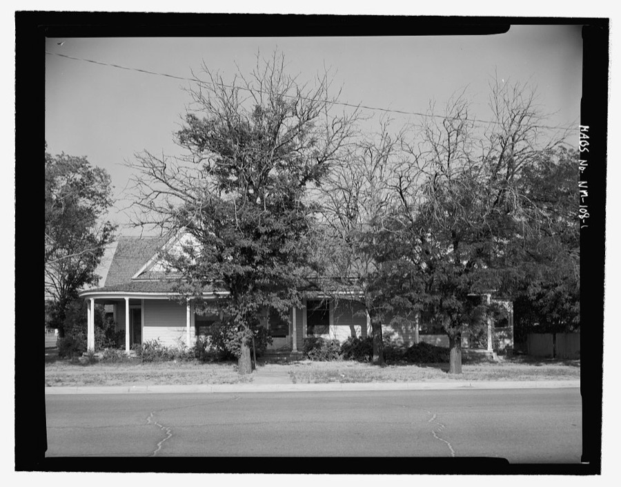
Every property in this county listed on the National Register of Historic Places, with the year it was listed and the federal nomination document.
| Photograph | Property | Type | Listed | Reference |
|---|---|---|---|---|
 | Blue Swallow Motel | building | 1993 | 93001210 |
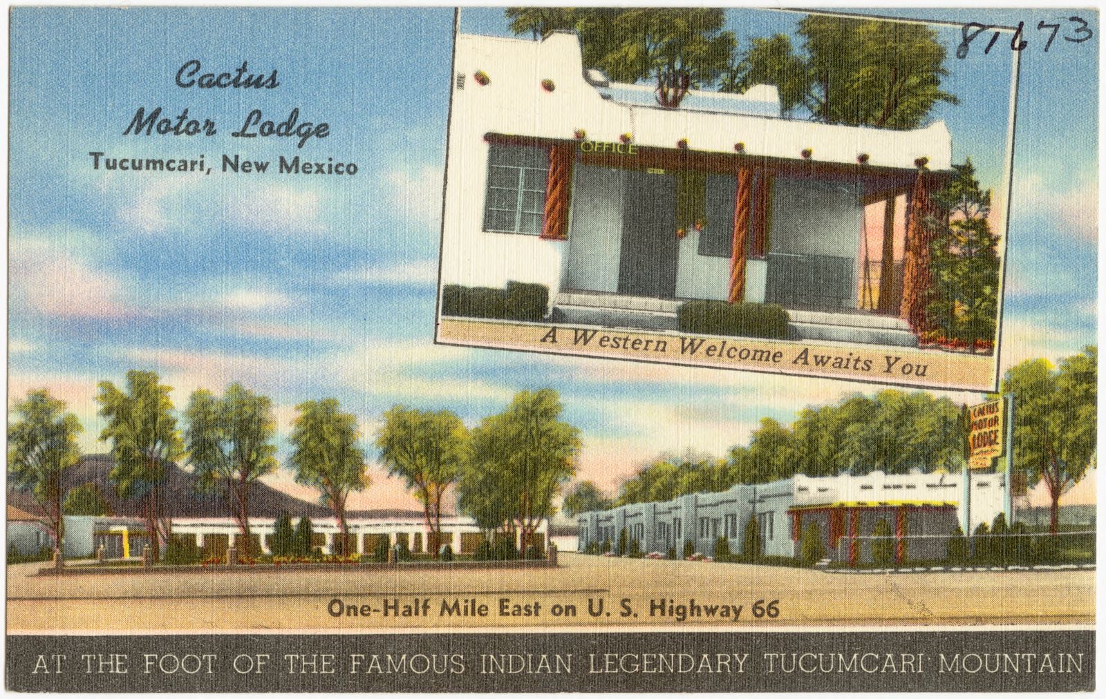
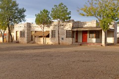 | Cactus Motor Lodge | building | 2006 | 06000154 |
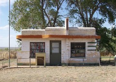 | Glenrio Historic District | district | 2007 | 06001259 |
| Arch and Ola Hurley House | building | 2025 | 100011238 | |
 | Arch Hurley Conservancy District Office Building | building | 1994 | 94001403 |
| Locally Maintained Route 66-Glenrio to San Jon | structure | 1994 | 93001207 | |
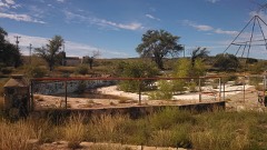 | Metropolitan Park Bathhouse and Pool Historic District | district | 1996 | 96000268 |
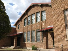 | Nara Visa School | building | 1983 | 83004151 |
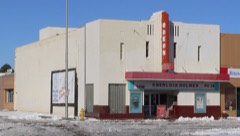 | Odeon Theater | building | 2007 | 06001254 |
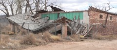 | Richardson Store | building | 1978 | 78001819 |
| Route 66, State maintained from Montoya to Cuervo | structure | 1997 | 97001395 | |
| Route 66, State maintained from San Jon to Tucumari | structure | 1997 | 97001399 | |
| State Maintained Route 66-Palomas to Montoya | structure | 1994 | 93001208 |
Sampled issues, machine-read from the Library of Congress scan and published page by page, so every headline and column is searchable text.
Tucumcari, N.M., 1905 to 1907. Machine-read from the Library of Congress scan.
Tucumcari, N.M., 1907 to 1921. Machine-read from the Library of Congress scan.
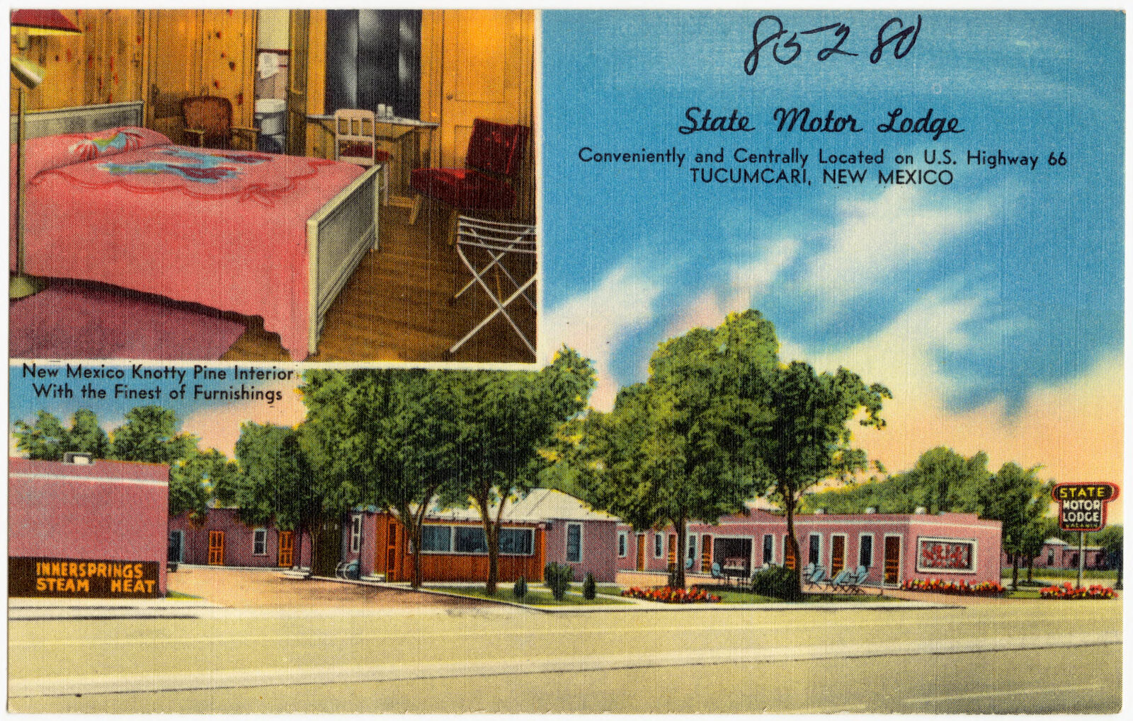
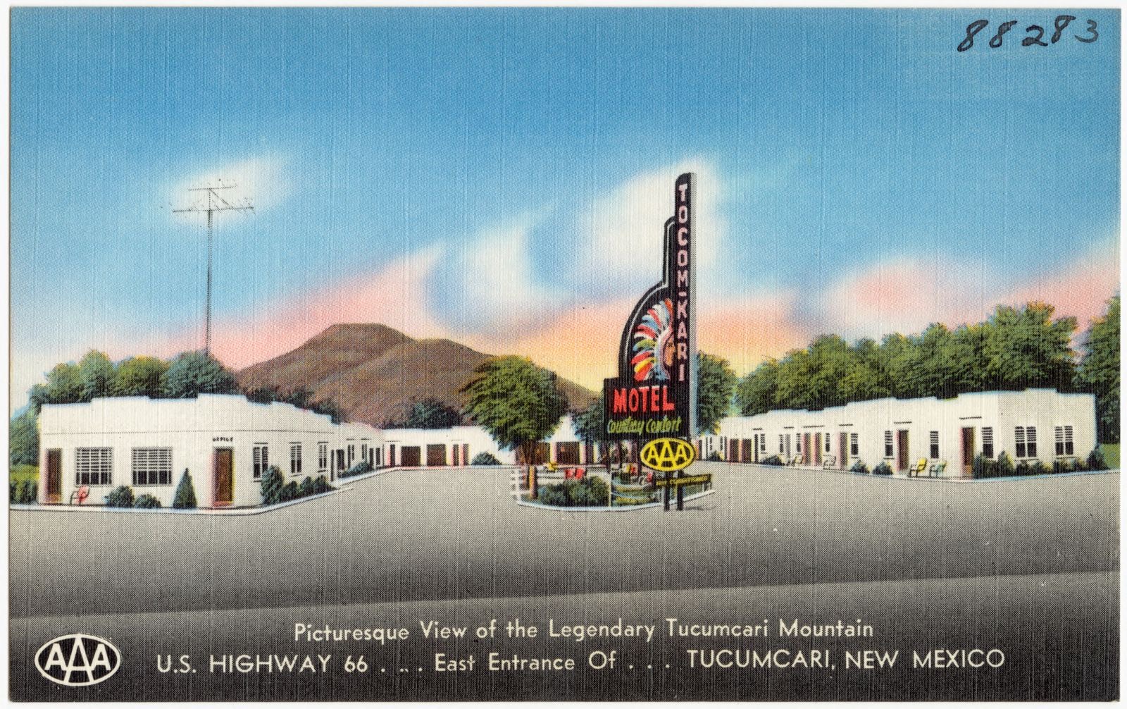
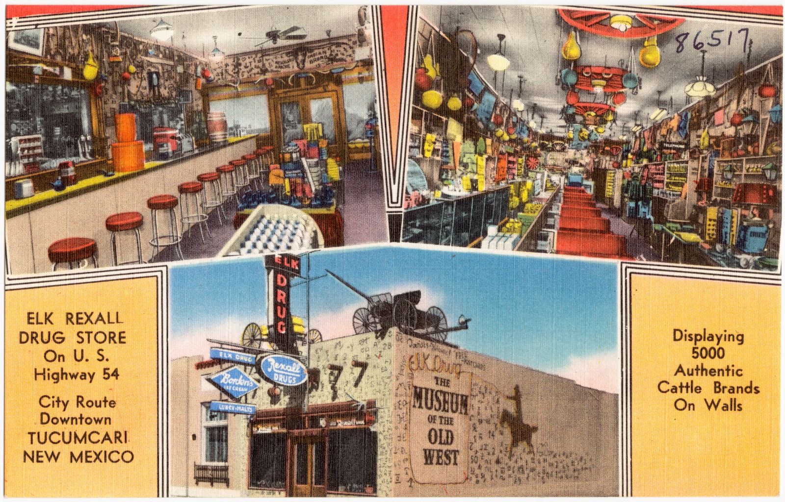
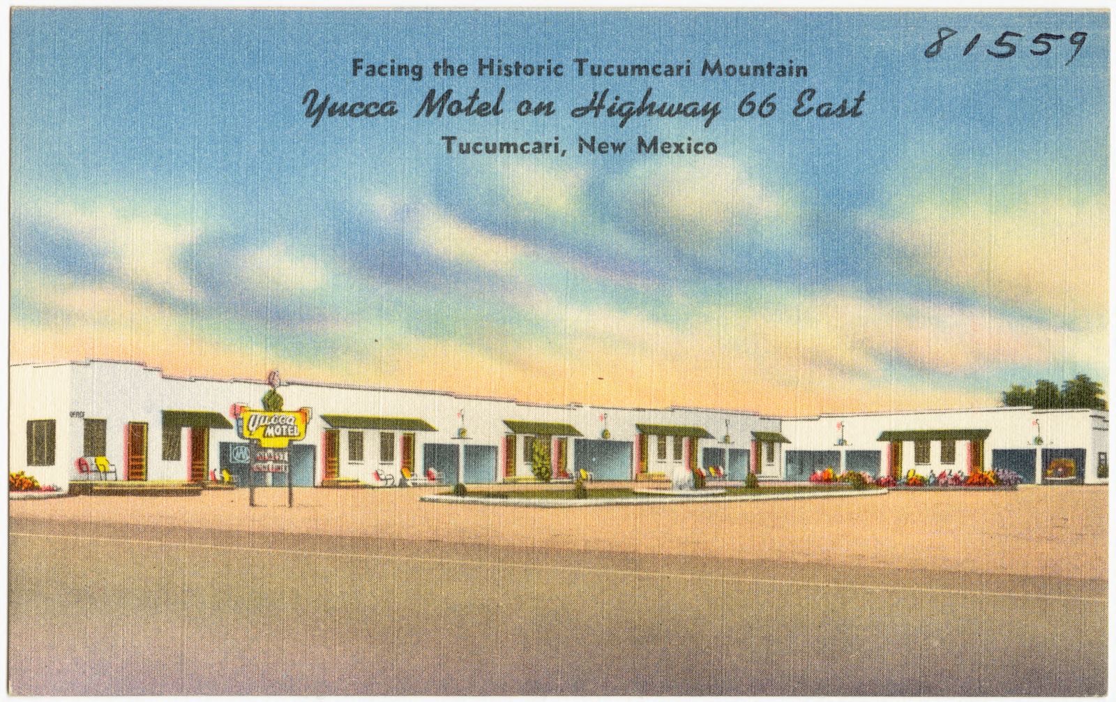
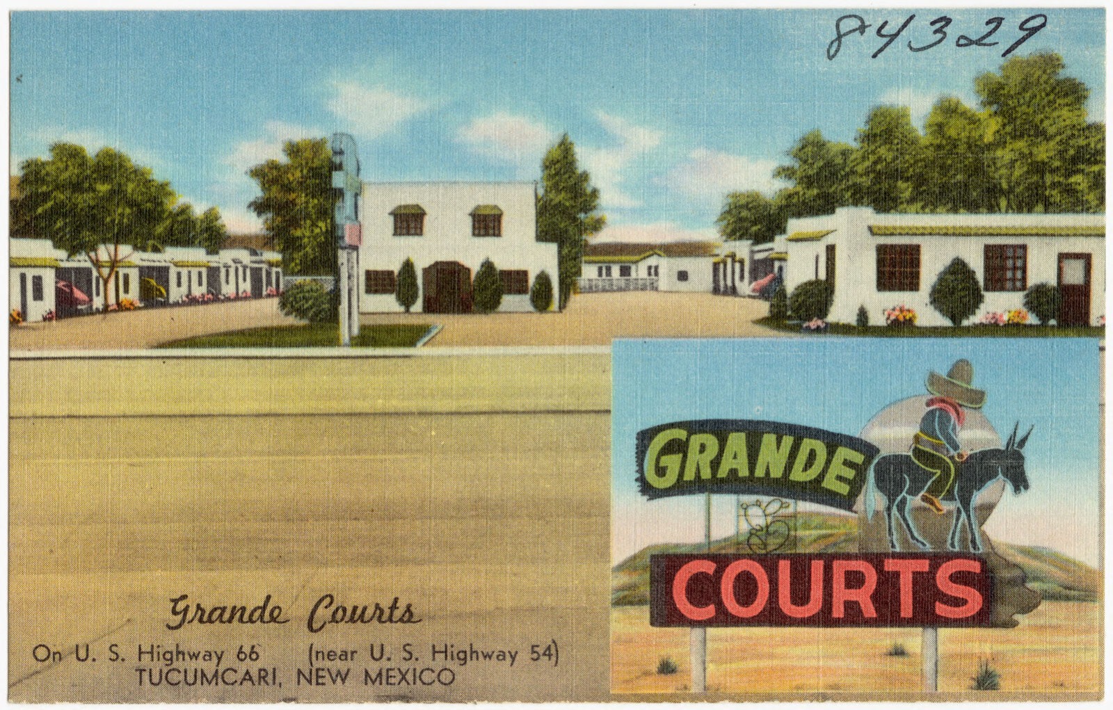
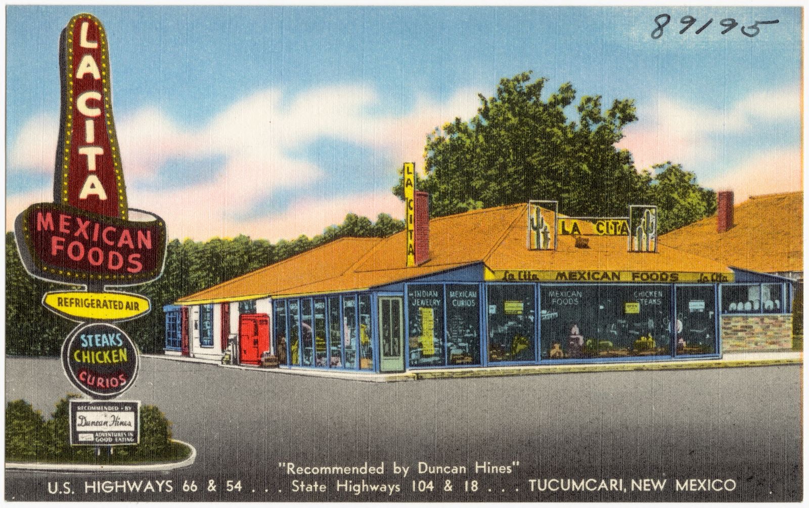
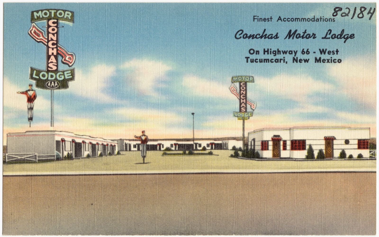
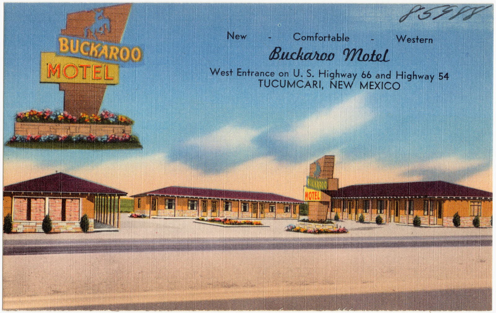
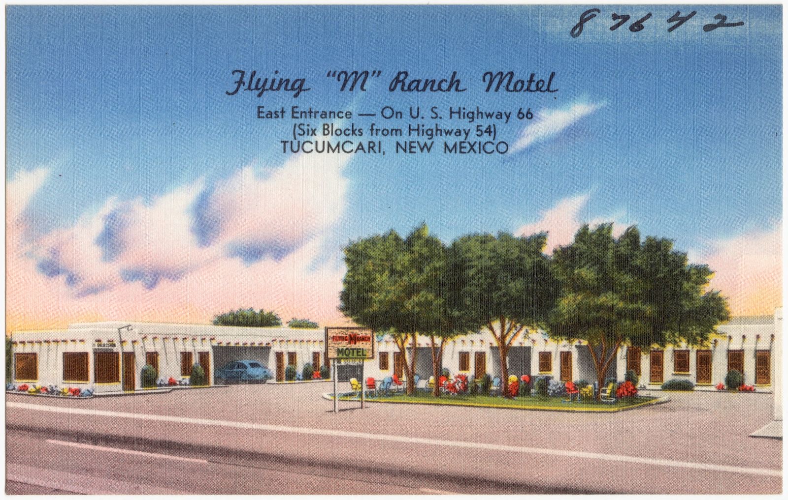
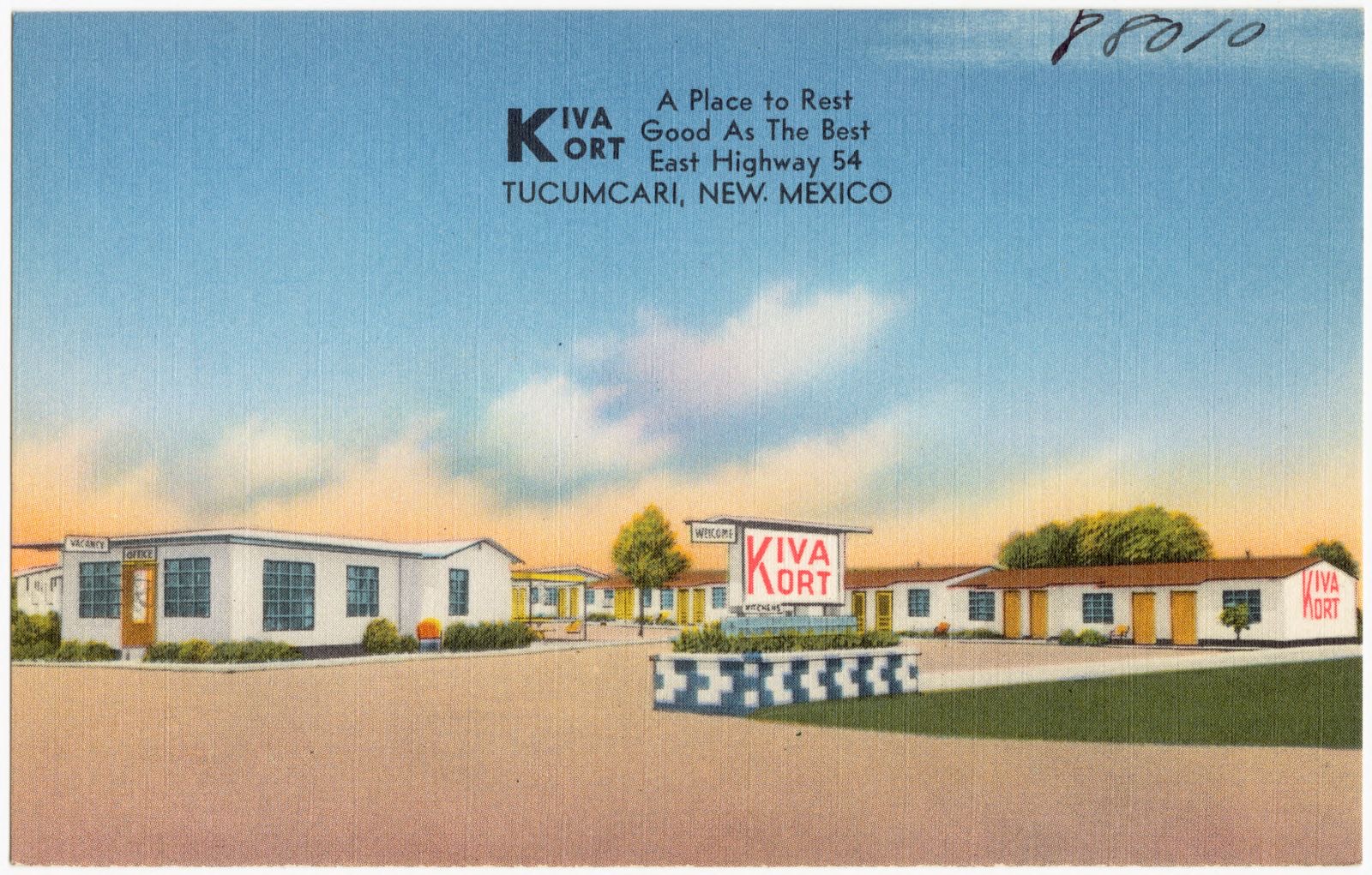
Selected from the Digital Public Library of America's 12 image records catalogued for this county. Every one shown here carries a public-domain status or a licence that permits reuse on a site that carries advertising; non-commercial, share-alike and restricted images are excluded. The selection is spread across the county's towns (at most eight per town), so no single institution's bulk upload crowds out the rest. Each opens the holding library's record, and the complete set at the Digital Public Library of America is one click away.
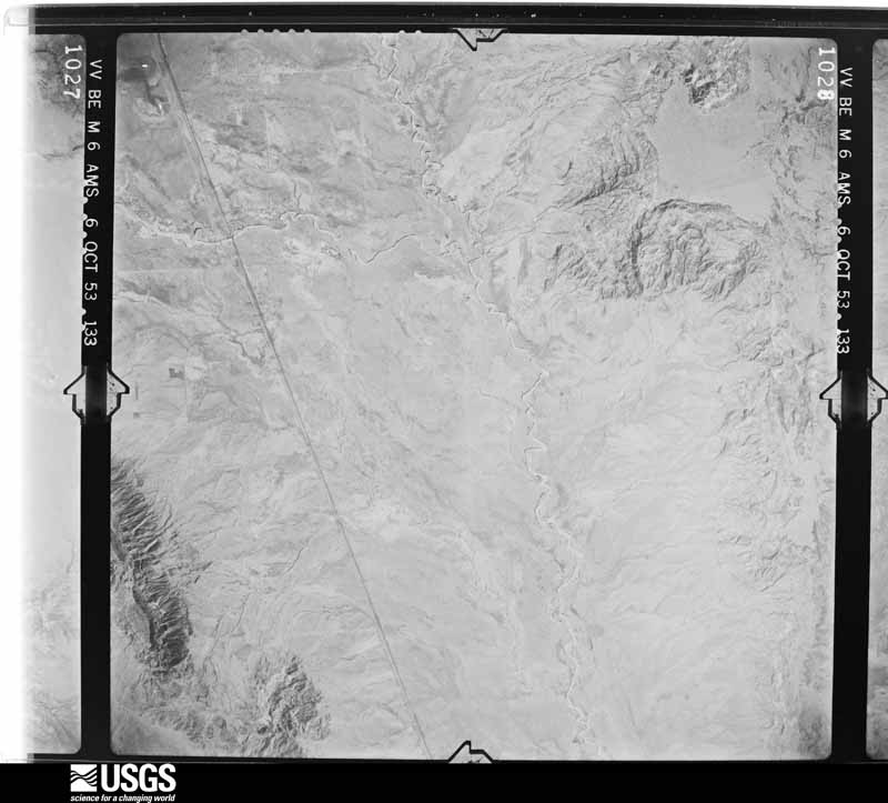
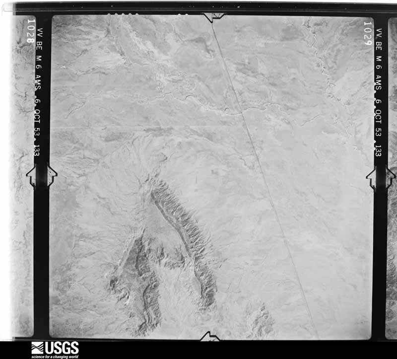
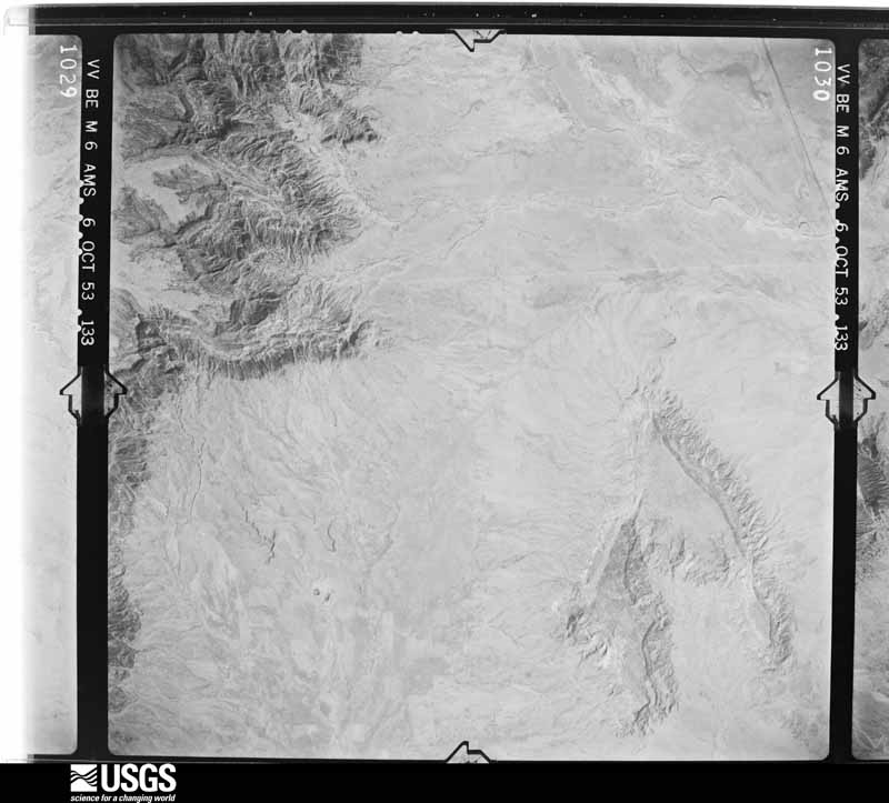
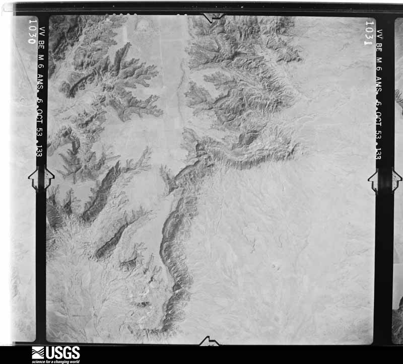
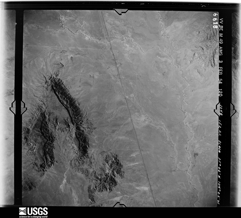
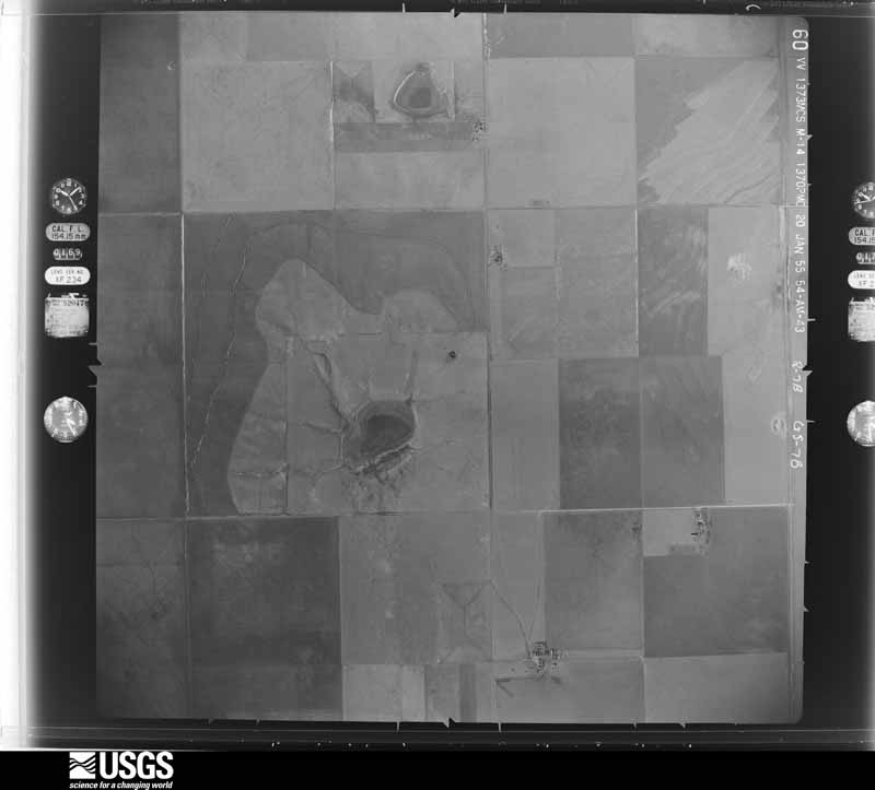
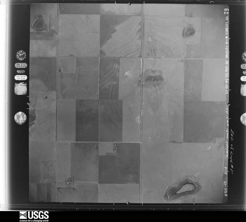
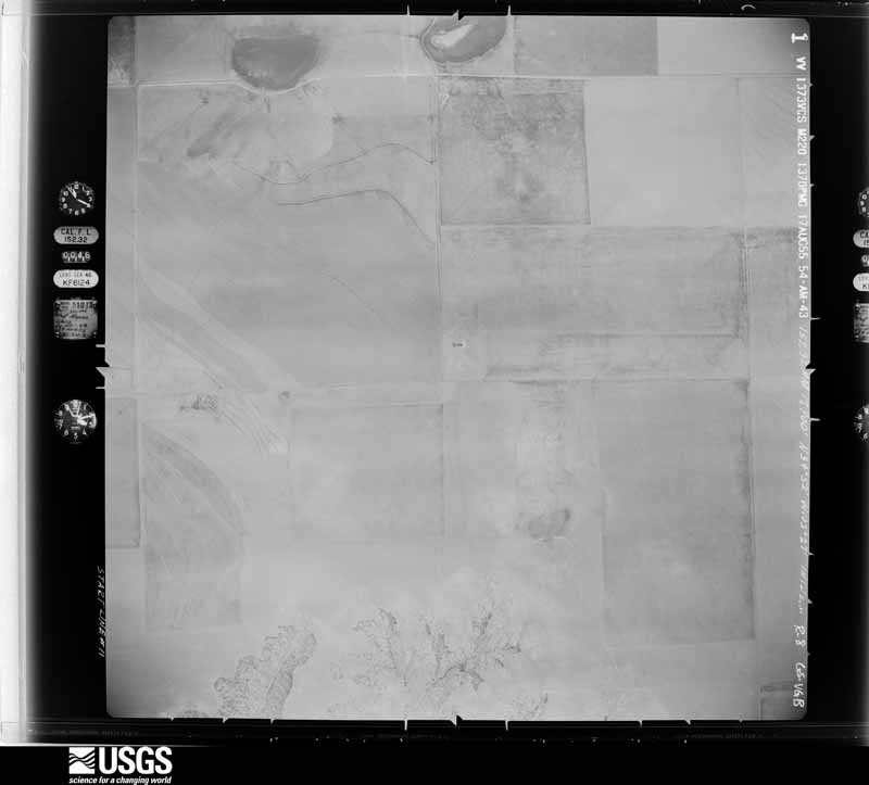
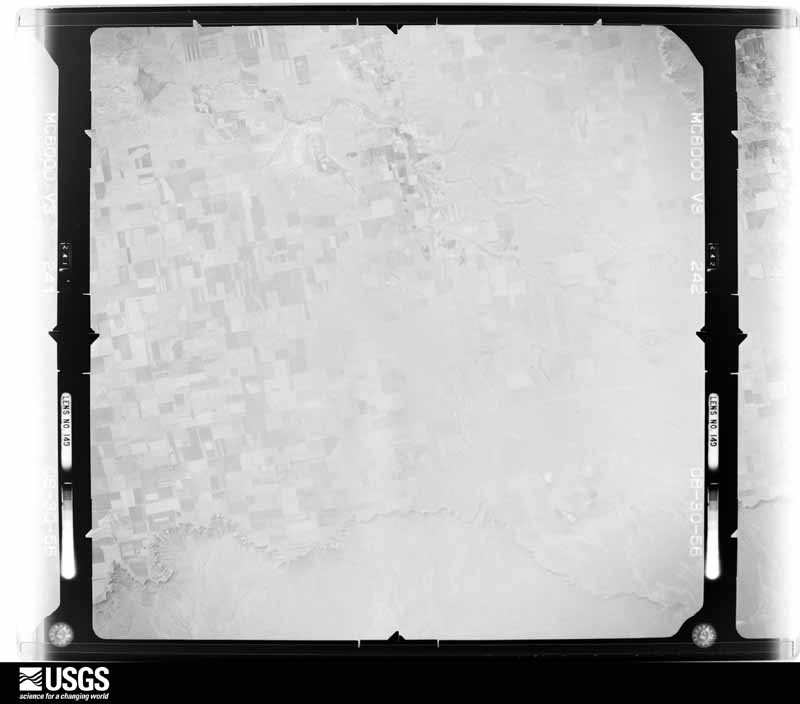
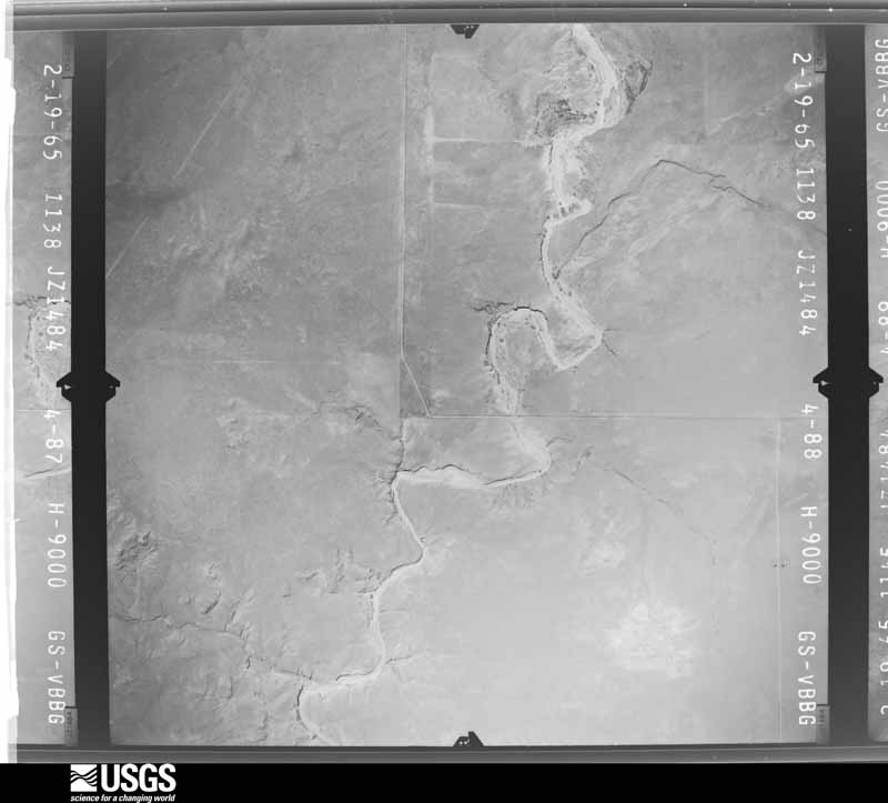
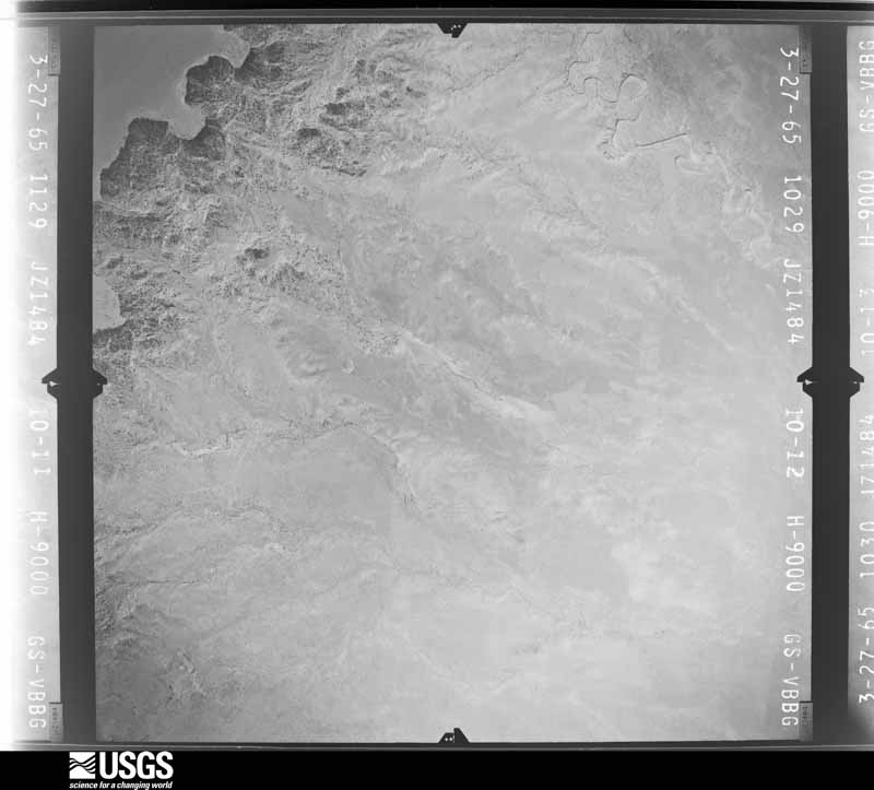
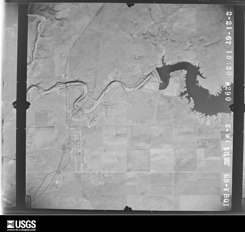
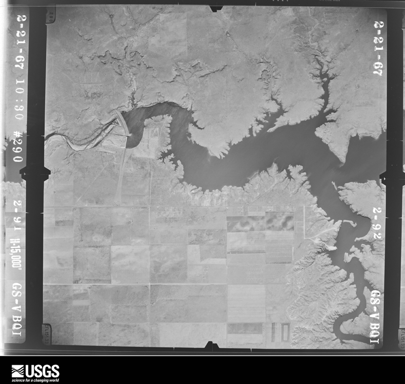
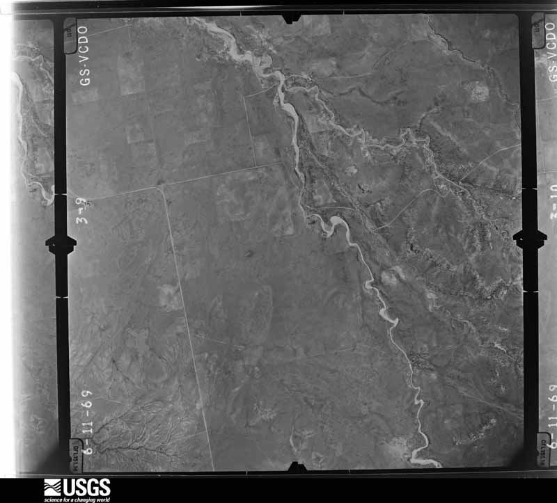
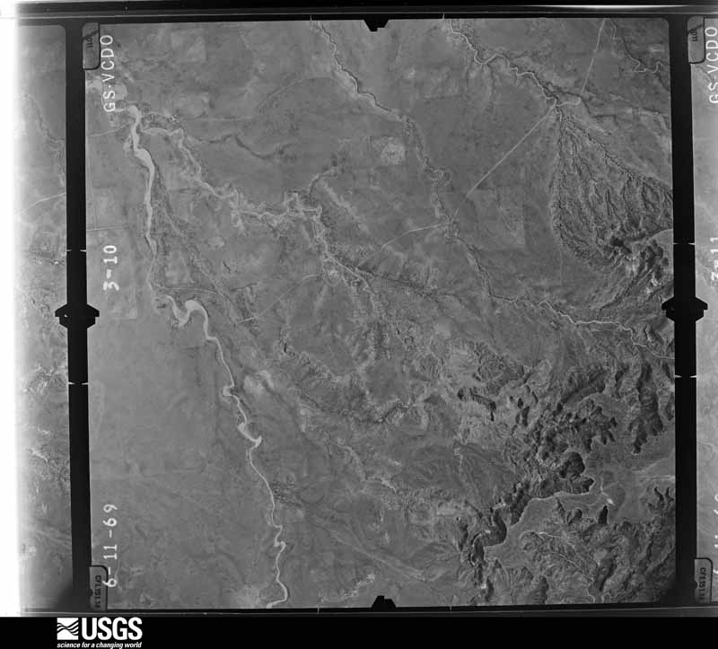
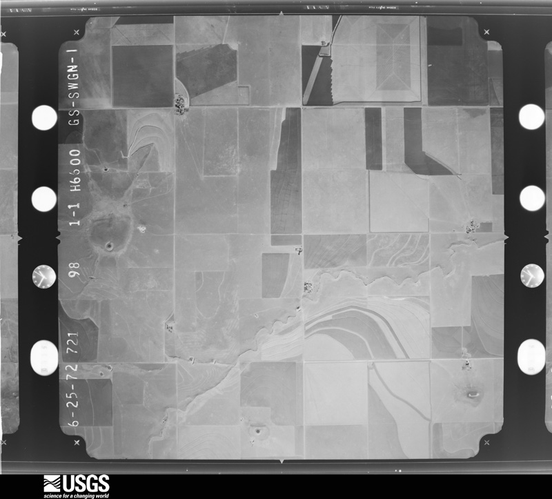
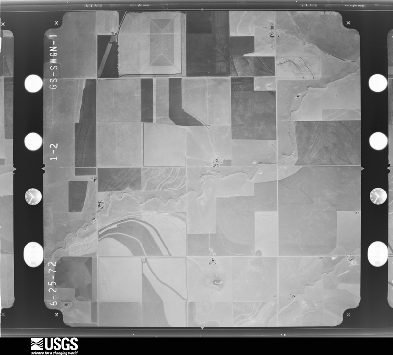
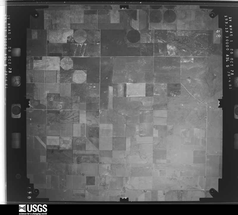
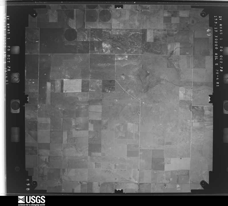
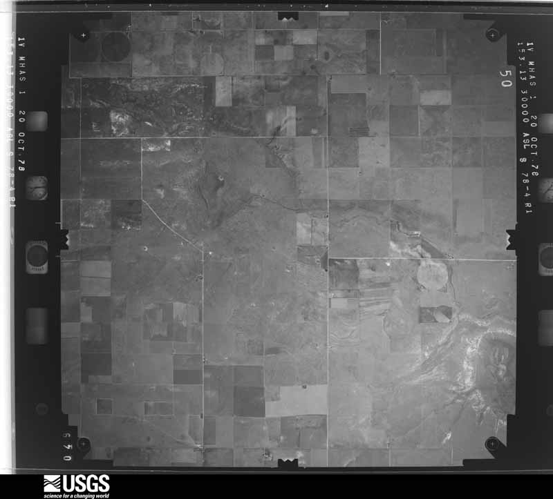
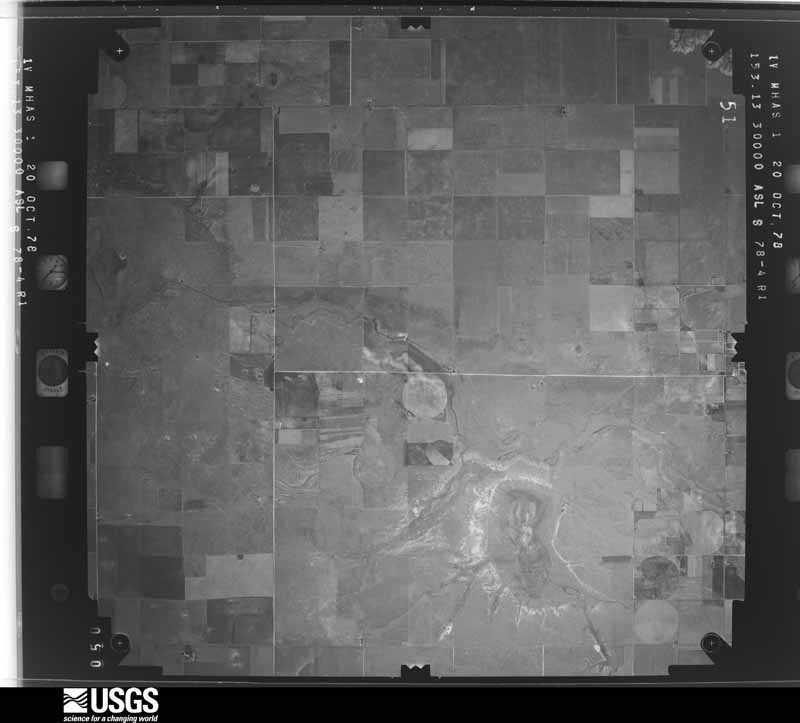
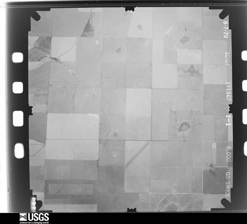
Flown by the U.S. Geological Survey between 1937 and 1989, the Aerial Photo Single Frames collection is the definitive mid-century view of the land: fields, roads and rivers as the camera saw them. The Survey holds 3,172 frames inside the rectangle that bounds this county; the 48 frames below were taken over the county itself, chosen across the decades of flights (at most four a year from that rectangle), so one flight cannot crowd out the rest. The full set is free to browse and download at EarthExplorer under the dataset Aerial Photo Single Frames.
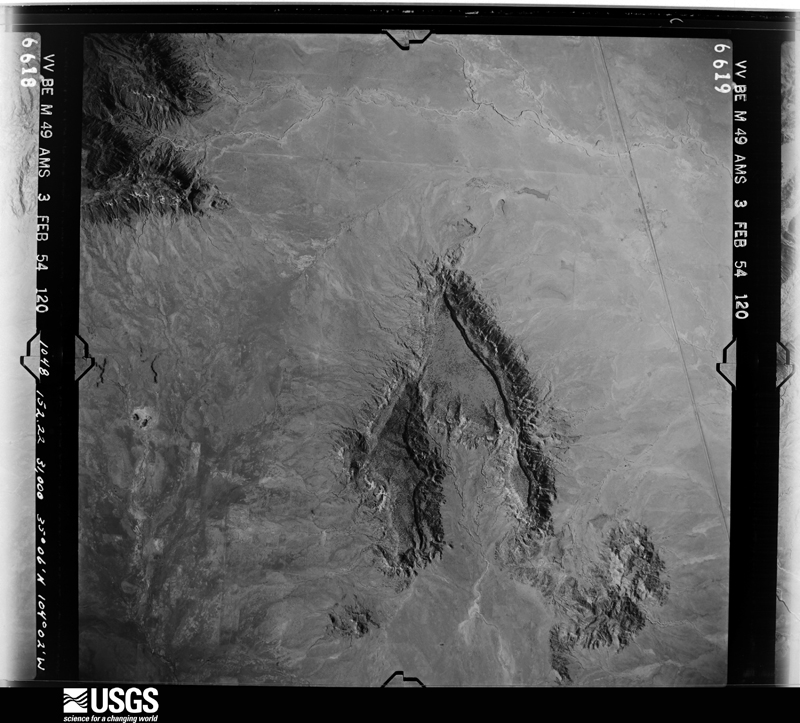
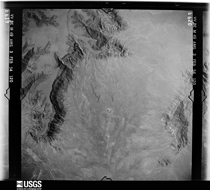
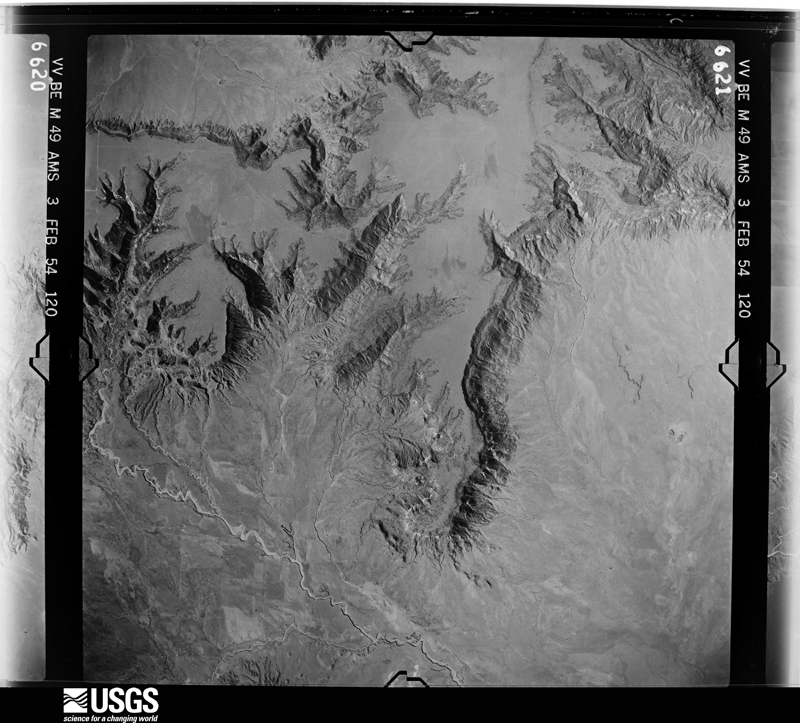
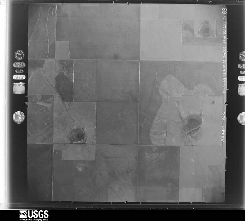

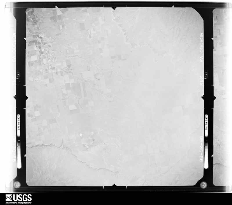
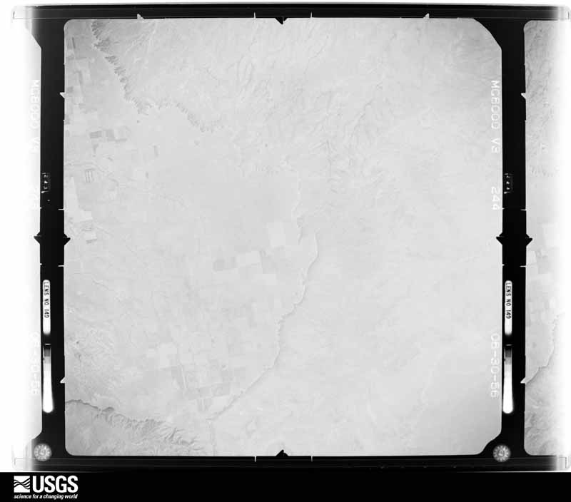
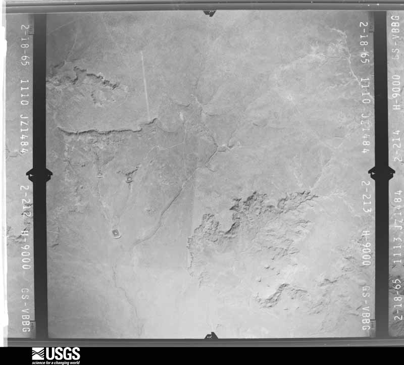
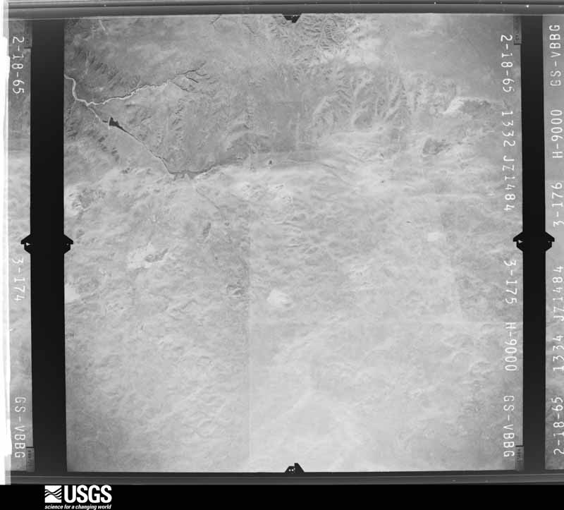
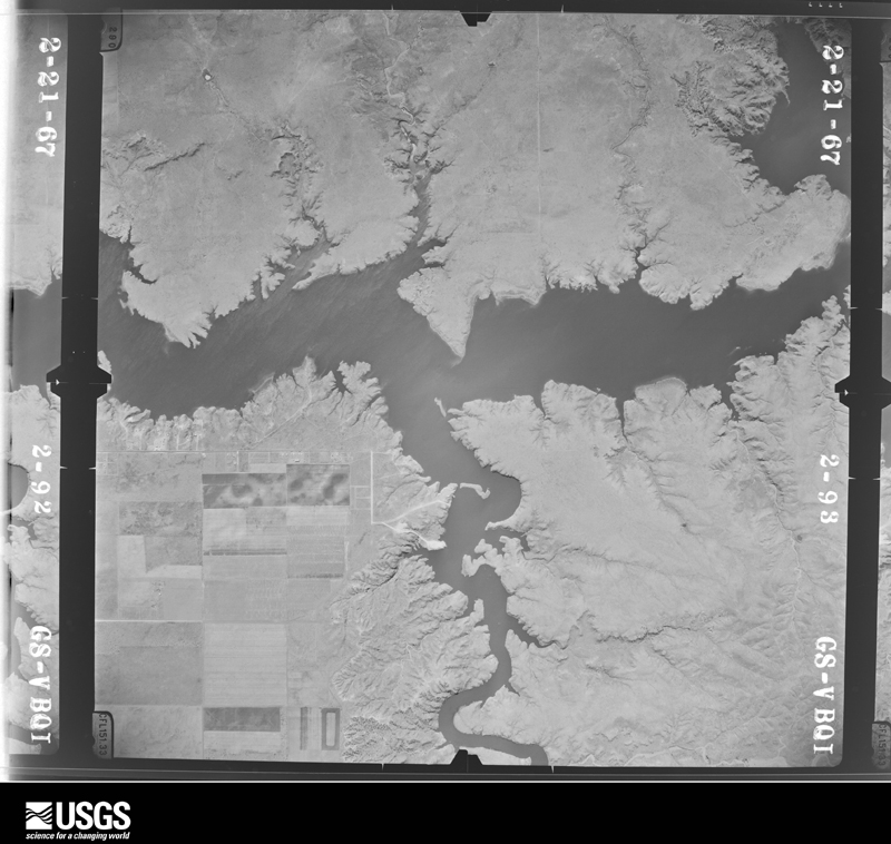
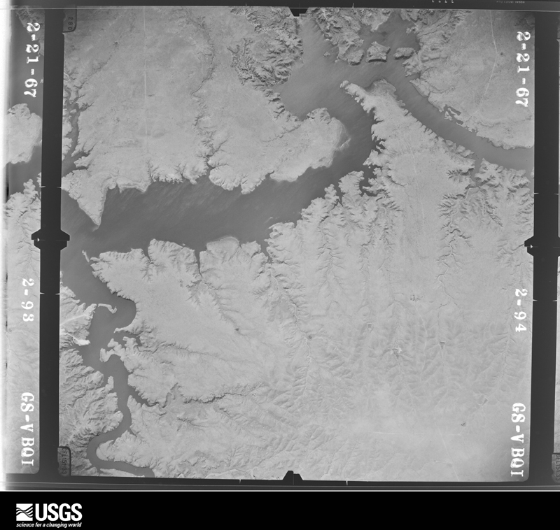
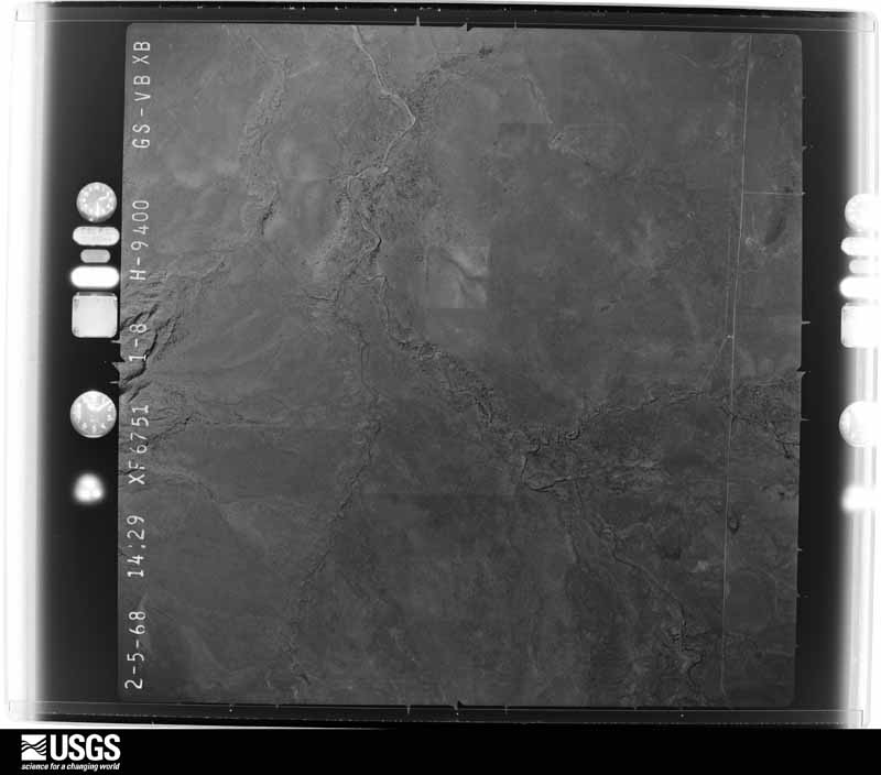
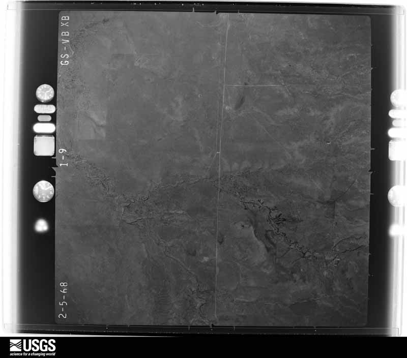
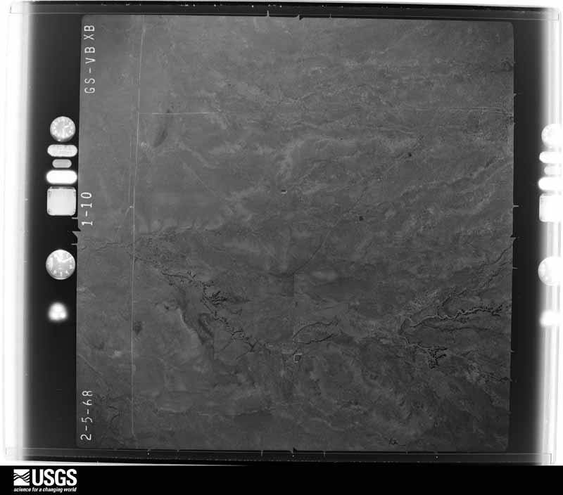
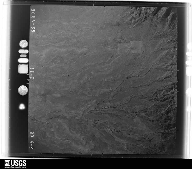
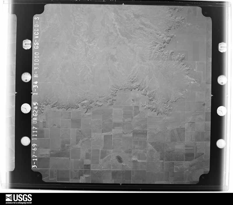
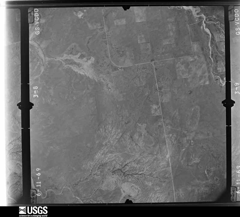
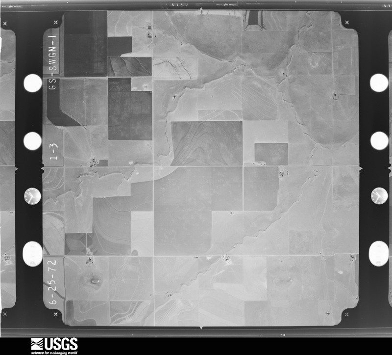
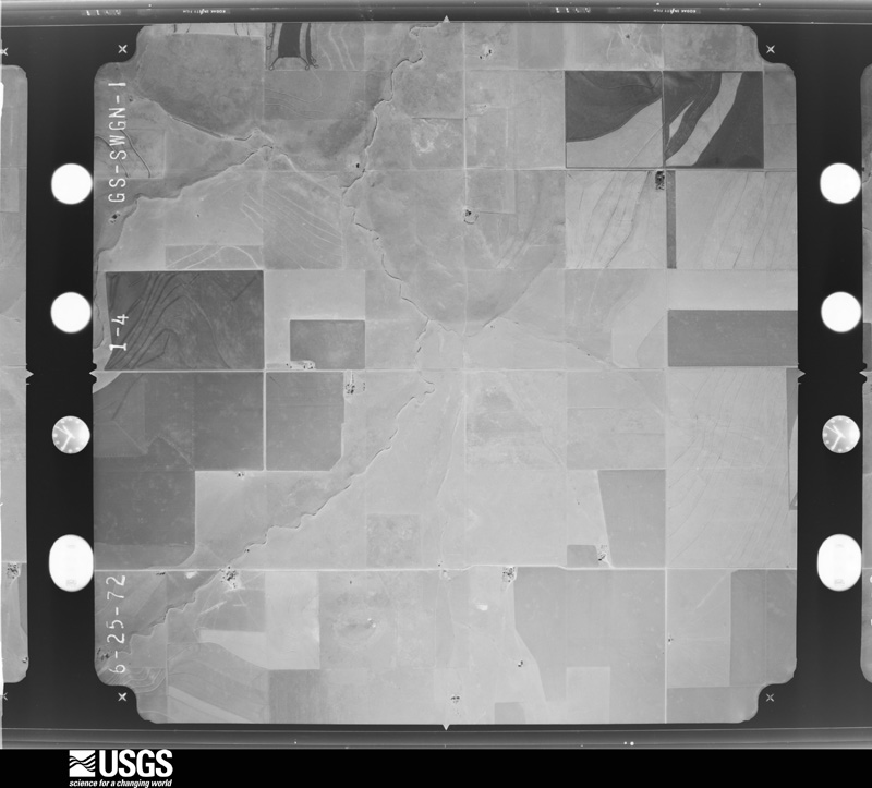
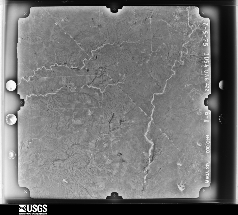
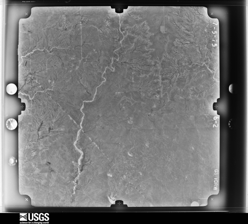

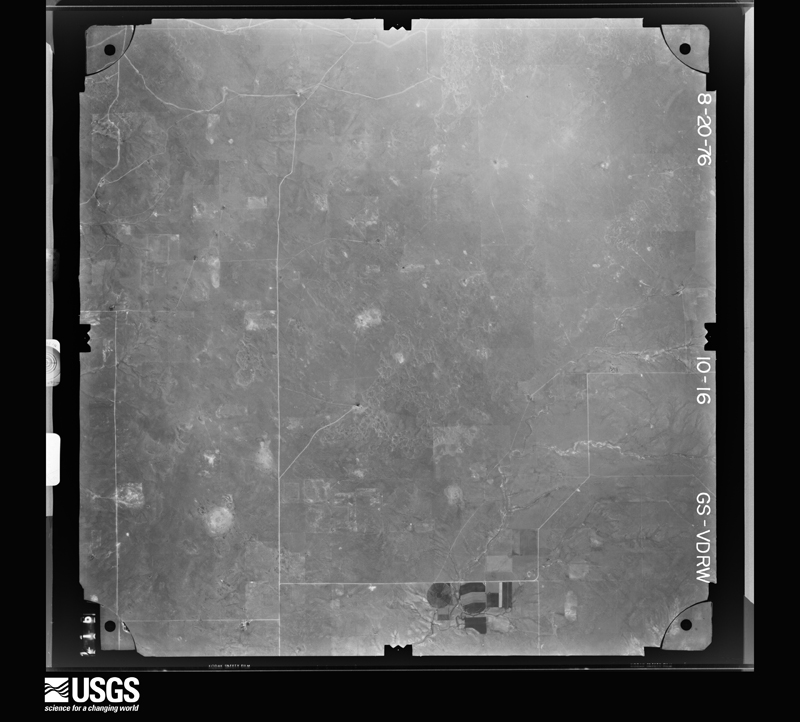
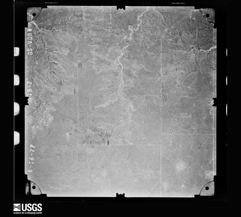
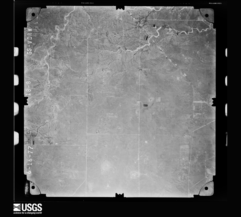
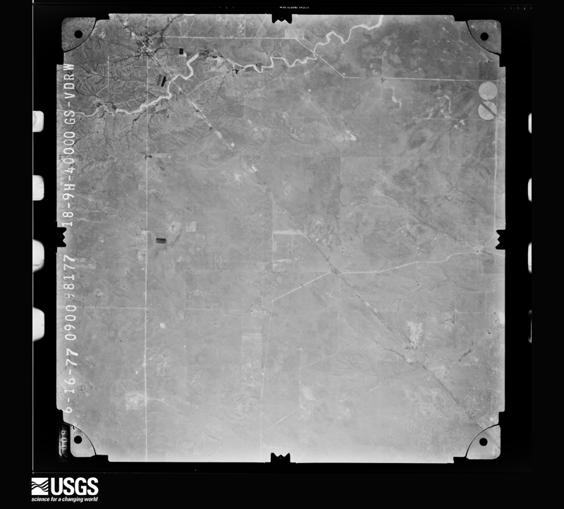
The thermometers that kept this county's weather, and the gages that measured the flow of its streams, as the federal records hold them. The extremes below are measured values from those records, not estimates.
Who lived here in 1950, one enumeration district at a time, as the Census Bureau described each district. Each row opens its official National Archives result, with Population Schedules and ED Maps available there.
Every wildfire the federal occurrence database records inside this county: 281 of them, burning about 152,972 acres. 78 started naturally and none was recorded as arson. Each settlement page carries the fires within five miles of it.
| Reported cause | Fires |
|---|---|
| Missing data/not specified/undetermined | 123 |
| Natural | 78 |
| Equipment and vehicle use | 40 |
| Debris and open burning | 18 |
| Power generation/transmission/distribution | 13 |
| Smoking | 4 |
| Railroad operations and maintenance | 2 |
| Fireworks | 2 |
| Recreation and ceremony | 1 |
The five largest, by the area the report gives. None of them was recorded as arson.
| Date | Cause | Size | Reported by | Name on the report |
|---|---|---|---|---|
| 18 June 2011 | Missing data/not specified/undetermined | 32,243 acres | New Mexico State Forestry Division | WINDY |
| 9 July 2011 | Natural | 11,507 acres | New Mexico State Forestry Division | BRITT |
| 11 March 2006 | Missing data/not specified/undetermined | 8,000 acres | New Mexico State Forestry Division | HUDSON |
| 5 January 1994 | Missing data/not specified/undetermined | 7,000 acres | New Mexico State Forestry Division | WOODS |
| 13 March 2015 | Missing data/not specified/undetermined | 6,300 acres | New Mexico State Forestry Division | NORTH CUT FIRE |
| 14 July 1998 | Missing data/not specified/undetermined | 5,000 acres | New Mexico State Forestry Division | HEATHER |
| 17 March 2006 | Missing data/not specified/undetermined | 5,000 acres | Las Vegas District | MEEKS |
| 17 June 2009 | Natural | 4,000 acres | New Mexico State Forestry Division | CULBERTSON |
Every settlement page carries the fires within five miles of it - see the settlement index below.
The NOAA Storm Events Database holds 623 reports for this county, causing no deaths, 22 injuries and about $6,265,040 in recorded property damage. Each settlement page carries the reports that name it.
| Kind of event | Reports |
|---|---|
| Hail | 349 |
| Thunderstorm Wind | 182 |
| Tornado | 43 |
| Flash Flood | 23 |
| Funnel Cloud | 16 |
| Heavy Rain | 10 |
The most serious of them, by death, then injury, then recorded damage. The accounts are quoted exactly as the forecast office filed them.
| When | Event | Place named | Harm | What the report says |
|---|---|---|---|---|
| March 2007 | Tornado (EF1) | Logan | 12 hurt, $3,500,000 | A small and possibly elevated landspout type tornado developed on the far east end of a rear flank outflow that swung south through east over Logan as a storm centered about 5 miles to the west moved north over Ute Lake. Damage along the track as it moved over the west side of Logan was intermittent with damage indicators pointing to winds of general 80 to 90 mph with peak winds near the south and north ends of the track estimated at 105 mph. Average track width was around 100 yards. Logan had no tornado siren system but citizens reported nearly 30 to 50 minutes notice of an approaching severe thunderstorm. About a dozen injuries were reported with only two transported to Tucumcari for brief treatment in hospital. Heaviest damage was mainly confined to about 50 manufactured homes and recreational vehicles tossed and rolled mainly on the south end of the lake resort community. Damage to site constructed homes and buildings was limited to window, roof and soffit damage except for one 1910 era frame home that lost its roof. |
| June 1992 | Hail | not stated | 5 hurt | no account filed |
| June 1992 | Tornado (F1) | not stated | 1 hurt, $250,000 | no account filed |
| July 1998 | Thunderstorm Wind | Logan | 1 hurt, $60,000 | no account filed |
| July 1972 | Tornado (F1) | not stated | 1 hurt, $25,000 | no account filed |
| June 1961 | Tornado (F2) | not stated | 1 hurt, $25,000 | no account filed |
| June 1989 | Hail | not stated | 1 hurt | no account filed |
| May 2023 | Flash Flood | Tucumcari | $500,000 | Multiple reports of flash flooding were received via social media during the evening of May 25, 2023. Streets throughout town were flooded, closed, or impassable with vehicles being stranded in some spots. Water was also reported to have reached up to business entrances. |
| April 1970 | Tornado (F2) | not stated | $250,000 | no account filed |
| March 2007 | Hail | Logan | $200,000 | Storm passing mainly west of Logan dumped large hail over the west edge of Ute Lake. |
| June 1995 | Thunderstorm Wind | Nara Visa | $200,000 | no account filed |
| June 1995 | Thunderstorm Wind | Nara Visa | $200,000 | no account filed |
| June 2025 | Thunderstorm Wind | Endee | $100,000 | Damaging wind gusts from a severe thunderstorm resulted in an overturned semi-truck along I-40 at mile marker 366. |
| September 2024 | Thunderstorm Wind | (Tcc)Tucumcari Arpt | $100,000 | The county Emergency Manager and Quay County Sun newspaper reported 10 commercial vehicles were blown over on I-40 due to severe thunderstorm wind gusts. This along with 7 other simultaneous crashes closed I-40 for several hours in both directions. Several people were taken to the local hospital in Tucumcari as emergency response from Logan, San Jon, Tucumcari and the Quay Fire District 2 responded to the incident. |
| July 2006 | Flash Flood | Tucumcari | $100,000 | no account filed |
| June 2021 | Thunderstorm Wind | Logan | $80,000 | A member of the public in Logan estimated 70 mph wind gusts from a severe thunderstorm that tracked southeast through the area. The emergency manager also reported thunderstorm damage from these winds with siding and metal roofing torn from several mobile homes. A tractor trailer was also turned over on New Mexico State Highway 54, and several four feet tall mesquite bushes were snapped in half. Damages are estimated for the mobile home damage, overturned tractor trailers, and mesquite bush damage. |
| August 2019 | Thunderstorm Wind | Nara Visa | $75,000 | High winds damaged a home several miles northwest of Nara Visa. Windows were blown out of the home and trees were toppled in the area. Damage amounts are a rough estimate for roof and window damage. |
| September 2024 | Thunderstorm Wind | Nara Visa | $65,000 | Severe thunderstorm wind gusts blew of a community center roof, church doors and destroyed numerous outbuildings in Nara Visa as reported in Quay County Sun. A social media post showed a large section of a metal fence lofted into the air and draped over a toppled tree at Burns Ranch and a second large tree blown down. |
| August 2019 | Thunderstorm Wind | Nara Visa | $50,000 | High winds and large hail resulted in roof damage to at least one home in Nara Visa. Damage amounts are a rough estimate for one home. |
| August 1993 | Thunderstorm Wind | Logan | $50,000 | A severe thunderstorm in Logan blew over trees and power poles and damaged a trailer. Reports were received by both the media and the sheriff's office in Tucumcari. |
| June 1994 | Tornado (F0) | San Jon | $50,000 | no account filed |
| June 2021 | Hail | Logan | $40,000 | Trained spotters and law enforcement in Logan reported estimated quarter size hail from a severe thunderstorm tracking southeast through the area. The hail tore holes in mobile home siding. This thunderstorm also produced six to twelve inches of hail accumulation across Logan, including along New Mexico State Highway 54. Damages are estimated for the hail damage to the mobile homes. |
| May 1999 | Thunderstorm Wind | Tucumcari | $40,000 | High winds gusting 60-65 mph in Tucumcari ripped away parts of a motel roof. |
| May 2018 | Thunderstorm Wind | Jordan | $25,000 | A wet microburst along NM-156 west of Ragland destroyed a sheet metal barn, pulled several concrete anchored fence posts from the ground, and toppled a tree. Damage amounts are estimated. |
| August 2008 | Flash Flood | Tucumcari | $25,000 | Thunderstorms produced heavy rain which resulted in extensive street flooding in Tucumcari and Logan. Several vehicles became stuck in as much as three feet of water and at least one home was flooded. |
| June 1965 | Tornado (F1) | not stated | $25,000 | no account filed |
| July 1963 | Tornado (F2) | not stated | $25,000 | no account filed |
| May 2023 | Thunderstorm Wind | (Tcc)Tucumcari Arpt | $20,000 | Multiple semi rollovers were reported along I-40. Damage is an estimate based on damage to vehicles and potential loss of product. |
| May 2019 | Thunderstorm Wind | (Tcc)Tucumcari Arpt | $20,000 | A roof was blown off a barn south of Tucumcari along SR-278. Damage amounts are a rough estimate. |
| June 2003 | Thunderstorm Wind | Forrest | $20,000 | Church in Forrest lost half it's roof and all windows during high wind. |
| May 1995 | Thunderstorm Wind | Tucumcari | $20,000 | Severe thunderstorms in Quay County produced hail up to quarter size and strong winds which snapped some power poles in town. |
| May 2008 | Flash Flood | Tucumcari | $15,000 | State Road 104 was washed out just south of the Quay-San Miguel County line. |
| May 2025 | Thunderstorm Wind | Forrest | $10,000 | High wind gusts along the gust front ahead of a line of storms flipped and overturned an 18-wheeler trailer near Forrest. |
| May 2021 | Thunderstorm Wind | San Jon | $10,000 | A microburst with estimated 70 to 90 mph winds from a severe thunderstorm caused significant damage in and around Grady as well as in far southern Quay County. In southern Quay County, a National Weather Service damage survey team estimated 70 mph winds associated with the microburst destroyed a carport. The carport along with a downed TV antenna was carried 200 yards away from their original location. A storage shed that was attached to the carport was also tipped over. Additionally, several large trees limbs were downed. Damages are estimated for the loss and damage to the carport, TV antenna, storage shed, and tree limbs. |
| July 2016 | Thunderstorm Wind | Logan | $10,000 | Strong thunderstorms winds flipped over a pop-up camper at Ute Lake State Park. |
| July 2009 | Thunderstorm Wind | House | $10,000 | High winds between 700 and 730 pm MST ripped telephone polls in half and broke tree branches 8 to 12 inches in diameter. Electrical power was out for about 7 hours. |
| August 1999 | Thunderstorm Wind | Logan | $10,000 | Boat storage facilities and power lines were damaged by high winds at Ute Lake. |
| May 2019 | Thunderstorm Wind | Bard | $5,000 | Severe outflow winds with dime size hail tossed a small metal shed into a nearby tree near Bard. Damage amounts are estimated for the metal shed. |
| June 2013 | Hail | Logan | $5,000 | Golf ball size hail broke windows and damaged a tree and nearby barn about 6 miles north-northeast east of Logan. |
| July 2001 | Thunderstorm Wind | Tucumcari | $5,000 | A cooperative observer reported several power poles downed and a small travel trailer overturned during a strong storm near Tucumcari. |
| August 1993 | Hail | Nara Visa | $5,000 | Golfball-size hail broke windows and shredded trees of vegetation. |
| June 2013 | Hail | Tucumcari | $3,000 | Baseball hail 4 miles north of Tucumcari. |
| July 2009 | Thunderstorm Wind | House | $3,000 | Large tree limbs were snapped off of trees. |
| August 2008 | Thunderstorm Wind | Nara Visa | $3,000 | A line of thunderstorms produced damaging wind gusts in northeast New Mexico. Large tree limbs were broken six miles south of Amistad and windows were broken in Nara Visa. |
| July 2009 | Hail | San Jon | $2,500 | no account filed |
| August 1979 | Tornado (F0) | not stated | $2,500 | no account filed |
| May 1974 | Tornado (F0) | not stated | $2,500 | no account filed |
| June 1964 | Tornado (F2) | not stated | $2,500 | no account filed |
| July 1959 | Tornado (F1) | not stated | $2,500 | no account filed |
| July 2022 | Hail | Logan | $2,000 | A trained spotter near Logan reported quarter size hail. The hail did damage to tree leaves and destroyed their garden. Damages are estimated. |
| July 2021 | Hail | House | $2,000 | A CoCoRaHS observer in House reported nickel size hail with a strong thunderstorm tracking southward through the area. The observer also reported some minor damage with dents in their car from the hail. Damages are estimated for the car dents. |
| June 2012 | Thunderstorm Wind | Tucumcari | $2,000 | Strong winds resulted in roof damage to a house. |
| July 2010 | Thunderstorm Wind | Logan | $2,000 | A few portable buildings near Logan were overturned. |
| May 2023 | Flash Flood | Endee | $1,000 | The NMDOT reported State Highway 93 being closed due to standing water over the roadway south of I-40 to Endee. There were no reports of any damage. |
| June 2013 | Hail | Bard | $1,000 | Nickel hail covered the ground and broke two windows of a home a few miles east-southeast of Bard. |
| June 2013 | Hail | Tucumcari | $1,000 | Baseball hail 3 miles northwest of Tucumcari. |
| June 2010 | Thunderstorm Wind | San Jon | $1,000 | Multiple large tree branches were knocked down. A 12 inch diameter cottonwood tree was reduced to less than half its original height. |
| June 2010 | Hail | Bard | $1,000 | One inch to 1.90 inch hail broke three windows out of a house. |
| August 2008 | Thunderstorm Wind | House | $1,000 | Four inch diameter tree limbs were downed in the town of House. |
| July 1998 | Flash Flood | San Jon | $1,000 | no account filed |
The Survey's mineral resources record lists 138 workings inside this county. 15 still produce and 123 are closed or unrecorded. Each settlement page carries the workings within five miles of it.
| Commodity | Workings |
|---|---|
| Sand and Gravel, Construction | 111 |
| Uranium | 22 |
| Limestone, General | 3 |
| Copper | 2 |
| Vanadium | 2 |
| Stone | 2 |
| Silver, Copper | 1 |
| Copper, Silver | 1 |
The least common of them first, because a county's hundredth gravel pit says nothing its first ten did not.
| Where | Site | Commodity | Status | Recorded |
|---|---|---|---|---|
| Little Rattler Mine | Uranium, Silver, Copper | Past Producer | 1955, 1956 | |
| San Jon Area | Uranium, Copper, Silver | Occurrence | ||
| Canadian River Copper Deposits | Copper, Uranium | Occurrence | ||
| Good Luck Group | Uranium, Vanadium | Past Producer | 1955, 1957 | |
| Hare Pit | Stone | Unknown | ||
| Ima Prospect | Uranium, Vanadium | Occurrence | 1955 | |
| Unnamed Pit | Stone | Unknown | ||
| Ute Creek Copper Deposits | Copper, Uranium | Past Producer | 1910, 1920 | |
| Caprock Pit | Limestone, General | Producer | Caliche | |
| Duke Pit | Limestone, General | Producer | Caliche | |
| Ragland Pit | Limestone, General | Producer | Caliche | |
| Beasley Brothers 4 Prospect | Uranium | Occurrence | 1952 | |
| Bel Aro Mine | Uranium | Past Producer | 1952, 1955 | |
| Breen Prospect | Uranium | Occurrence | ||
| Eight Point Claims | Uranium | Occurrence | ||
| Fife Prospects | Uranium | Occurrence | 1955 | |
| Gilstrip and Trusdel Property | Uranium | Occurrence | 1955 | |
| Good Luck Mine | Uranium | Unknown | ||
| Little Rattler | Uranium | Unknown | ||
| Lucky Find 15 Prospect | Uranium | Occurrence | ||
| Red Peak Area Prospects | Uranium | Occurrence | ||
| Richardson Ranch Prospects | Uranium | Occurrence | ||
| Section Twelve Mine | Uranium | Unknown | ||
| Smith Ranch Prospect | Uranium | Occurrence | ||
| Strawn Prospect | Uranium | Occurrence | ||
| Troutman Ranch | Uranium | Occurrence | ||
| Wallace Ranch Prospect | Uranium | Past Producer | ||
| Adams Pit | Sand and Gravel, Construction | Unknown | ||
| Beasley Pit | Sand and Gravel, Construction | Unknown | ||
| Bruhn Gravel Pit | Sand and Gravel, Construction | Producer | 1992 | |
| Bruhn Gravel Pit | Sand and Gravel, Construction | Producer | Sedimentary | |
| Bruhn Pit | Sand and Gravel, Construction | Producer | Sedimentary | |
| Clayton Pit | Sand and Gravel, Construction | Unknown | ||
| Collins Pit | Sand and Gravel, Construction | Unknown | ||
| Frank May Pit | Sand and Gravel, Construction | Unknown | ||
| Kryling Pit | Sand and Gravel, Construction | Unknown | ||
| Latham Pit | Sand and Gravel, Construction | Unknown | ||
| Materials Pit 71-15-S | Sand and Gravel, Construction | Unknown | ||
| Materials Pit 71-15-S | Sand and Gravel, Construction | Producer | ||
| Materials Pit 73-13-S | Sand and Gravel, Construction | Unknown | ||
| Three Unnamed Pits | Sand and Gravel, Construction | Unknown | ||
| Two Unnamed Pits | Sand and Gravel, Construction | Unknown | ||
| Unnamed Pit | Sand and Gravel, Construction | Unknown | ||
| Unnamed Pit | Sand and Gravel, Construction | Unknown | ||
| Unnamed Pit | Sand and Gravel, Construction | Unknown | ||
| Unnamed Pit | Sand and Gravel, Construction | Unknown | ||
| Unnamed Pit | Sand and Gravel, Construction | Unknown | ||
| Unnamed Pit | Sand and Gravel, Construction | Unknown | ||
| Unnamed Pit | Sand and Gravel, Construction | Unknown | ||
| Unnamed Pit | Sand and Gravel, Construction | Unknown | ||
| Unnamed Pit | Sand and Gravel, Construction | Producer | ||
| Unnamed Pit | Sand and Gravel, Construction | Unknown | ||
| Unnamed Pit | Sand and Gravel, Construction | Unknown | ||
| Unnamed Pit | Sand and Gravel, Construction | Unknown | ||
| Unnamed Pit | Sand and Gravel, Construction | Unknown | ||
| Unnamed Pit | Sand and Gravel, Construction | Unknown | ||
| Unnamed Pit | Sand and Gravel, Construction | Unknown | ||
| Unnamed Pit | Sand and Gravel, Construction | Unknown | ||
| Unnamed Pit | Sand and Gravel, Construction | Unknown | ||
| Unnamed Pit | Sand and Gravel, Construction | Unknown | ||
| Unnamed Pit | Sand and Gravel, Construction | Unknown | ||
| Unnamed Pit | Sand and Gravel, Construction | Producer | ||
| Unnamed Pit | Sand and Gravel, Construction | Unknown | ||
| Unnamed Pit | Sand and Gravel, Construction | Unknown | ||
| Unnamed Pit | Sand and Gravel, Construction | Producer | ||
| Unnamed Pit | Sand and Gravel, Construction | Unknown | ||
| Unnamed Pit | Sand and Gravel, Construction | Unknown | ||
| Unnamed Pit | Sand and Gravel, Construction | Unknown | ||
| Unnamed Pit | Sand and Gravel, Construction | Unknown | ||
| Unnamed Pit | Sand and Gravel, Construction | Unknown | ||
| Unnamed Pit | Sand and Gravel, Construction | Unknown | ||
| Unnamed Pit | Sand and Gravel, Construction | Unknown | ||
| Unnamed Pit | Sand and Gravel, Construction | Unknown | ||
| Unnamed Pit | Sand and Gravel, Construction | Unknown | ||
| Unnamed Pit | Sand and Gravel, Construction | Unknown | ||
| Unnamed Pit | Sand and Gravel, Construction | Unknown | ||
| Unnamed Pit | Sand and Gravel, Construction | Unknown | ||
| Unnamed Pit | Sand and Gravel, Construction | Unknown | ||
| Unnamed Pit | Sand and Gravel, Construction | Unknown | ||
| Unnamed Pit | Sand and Gravel, Construction | Unknown | ||
| Unnamed Pit | Sand and Gravel, Construction | Unknown | ||
| Unnamed Pit | Sand and Gravel, Construction | Unknown | ||
| Unnamed Pit | Sand and Gravel, Construction | Unknown | ||
| Unnamed Pit | Sand and Gravel, Construction | Unknown | ||
| Unnamed Pit | Sand and Gravel, Construction | Unknown | ||
| Unnamed Pit | Sand and Gravel, Construction | Unknown | ||
| Unnamed Pit | Sand and Gravel, Construction | Unknown | ||
| Unnamed Pit | Sand and Gravel, Construction | Unknown | ||
| Unnamed Pit | Sand and Gravel, Construction | Unknown | ||
| Unnamed Pit | Sand and Gravel, Construction | Unknown | ||
| Unnamed Pit | Sand and Gravel, Construction | Unknown | ||
| Unnamed Pit | Sand and Gravel, Construction | Unknown | ||
| Unnamed Pit | Sand and Gravel, Construction | Unknown | ||
| Unnamed Pit | Sand and Gravel, Construction | Unknown | ||
| Unnamed Pit | Sand and Gravel, Construction | Unknown | ||
| Unnamed Pit | Sand and Gravel, Construction | Unknown | ||
| Unnamed Pit | Sand and Gravel, Construction | Unknown | ||
| Unnamed Pit | Sand and Gravel, Construction | Unknown | ||
| Unnamed Pit | Sand and Gravel, Construction | Unknown | ||
| Unnamed Pit | Sand and Gravel, Construction | Unknown | ||
| Unnamed Pit | Sand and Gravel, Construction | Producer | ||
| Unnamed Pit | Sand and Gravel, Construction | Unknown | ||
| Unnamed Pit | Sand and Gravel, Construction | Producer | ||
| Unnamed Pit | Sand and Gravel, Construction | Unknown | ||
| Unnamed Pit | Sand and Gravel, Construction | Unknown | ||
| Unnamed Pit | Sand and Gravel, Construction | Unknown | ||
| Unnamed Pit | Sand and Gravel, Construction | Unknown | ||
| Unnamed Pit | Sand and Gravel, Construction | Unknown | ||
| Unnamed Pit | Sand and Gravel, Construction | Unknown | ||
| Unnamed Pit | Sand and Gravel, Construction | Unknown | ||
| Unnamed Pit | Sand and Gravel, Construction | Unknown | ||
| Unnamed Pit | Sand and Gravel, Construction | Unknown | ||
| Unnamed Pit | Sand and Gravel, Construction | Unknown | ||
| Unnamed Pit | Sand and Gravel, Construction | Unknown | ||
| Unnamed Pit | Sand and Gravel, Construction | Unknown | ||
| Unnamed Pit | Sand and Gravel, Construction | Unknown | ||
| Unnamed Pit | Sand and Gravel, Construction | Unknown | ||
| Unnamed Pit | Sand and Gravel, Construction | Unknown | ||
| Unnamed Pit | Sand and Gravel, Construction | Unknown | ||
| Unnamed Pit | Sand and Gravel, Construction | Unknown | ||
| Unnamed Pit | Sand and Gravel, Construction | Producer | ||
| Unnamed Pit | Sand and Gravel, Construction | Unknown | ||
| Unnamed Pit | Sand and Gravel, Construction | Unknown | ||
| Unnamed Pit | Sand and Gravel, Construction | Unknown | ||
| Unnamed Pit | Sand and Gravel, Construction | Unknown | ||
| Unnamed Pit | Sand and Gravel, Construction | Unknown | ||
| Unnamed Pit | Sand and Gravel, Construction | Unknown | ||
| Unnamed Pit | Sand and Gravel, Construction | Unknown | ||
| Unnamed Pit | Sand and Gravel, Construction | Unknown | ||
| Unnamed Pit | Sand and Gravel, Construction | Unknown | ||
| Unnamed Pit | Sand and Gravel, Construction | Unknown | ||
| Unnamed Pit | Sand and Gravel, Construction | Producer | ||
| Wheeler Pit | Sand and Gravel, Construction | Unknown |
Named settlements recorded in the Geographic Names Information System, each with the topographic sheets covering it. Villages, hamlets and abandoned places alike. Each is shown with the nearest named watercourse or landform and the survey quadrangle it falls on. The 1 place that was also surveyed for fire insurance comes first, with the number of atlases and photographs held for them.
Tucumcari census division · 88401 · Tucumcari quadrangle
6 sheets, 1930 to 1967
Fire insurance: 5 atlases
San Jon census division · 88112 · Riley Camp quadrangle
5 sheets, 1954 to 1968
No longer a settlement
San Jon census division · 88426 · Tuscocoillo Canyon quadrangle
5 sheets, 1954 to 1989
No longer a settlement
Logan-Nara Visa census division · 88430 · Logan NE quadrangle
5 sheets, 1954 to 1989
No longer a settlement
House-Forrest census division · 88124 · Forrest quadrangle
7 sheets, 1954 to 1971
No longer a settlement
House-Forrest census division · 88427 · McAlister quadrangle
7 sheets, 1954 to 1973
No longer a settlement
Tucumcari census division · 88401 · On Alamosito Creek · Lesbia quadrangle
6 sheets, 1930 to 1968
No longer a settlement
Tucumcari census division · 88401 · Cow Canyon quadrangle
6 sheets, 1930 to 1968
No longer a settlement
House-Forrest census division · 88121 · Ima SE quadrangle
6 sheets, 1954 to 1984
No longer a settlement
House-Forrest census division · 88427 · Ragland quadrangle
7 sheets, 1954 to 1971
No longer a settlement
Tucumcari census division · 88120 · On Apache Creek · Norton quadrangle
6 sheets, 1954 to 1971
Tucumcari census division · 88401 · On Ogle Flat · Circle S Mesa quadrangle
6 sheets, 1954 to 1970
No longer a settlement
Tucumcari census division · 88427 · Forrest quadrangle
7 sheets, 1954 to 1971
No longer a settlement
San Jon census division · 88434 · San Jon quadrangle
6 sheets, 1954 to 1968
No longer a settlement
Tucumcari census division · 88120 · On Dog Canyon Creek · Norton quadrangle
6 sheets, 1954 to 1971
No longer a settlement
House-Forrest census division · 88401 · Near Rincon Canyon · Ragland quadrangle
7 sheets, 1954 to 1971
The vanished settlements of Quay County: the places named above that are no longer on the map.
6 topographic sheets and 5 fire insurance atlases, 1908 to 1949
The complete index, with nothing left out. Each of these is a separate record with its own page: a federal survey report, or the case file that argued a property on to the National Register. Both are public domain and reproduced word for word.
The vanished settlements of Quay County, the places these records name that are no longer on the map.