 Block
From the record
16 National Register listings published here.
Sources: the National Register database, National Park Service
68 topographic sheets and 10 fire insurance atlases across 3 places.
16 National Register listings published here.
Sources: the National Register database, National Park Service
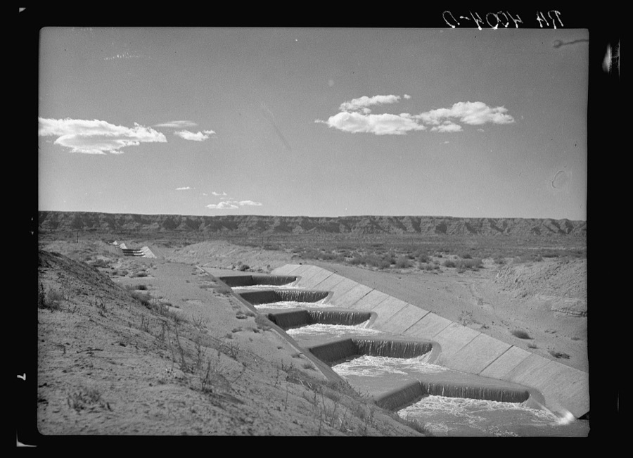
Taken for the Office of War Information and the Farm Security Administration, who photographed the country between 1935 and 1944. Works of United States government photographers, with no known restriction on use. Each opens its catalogue record.
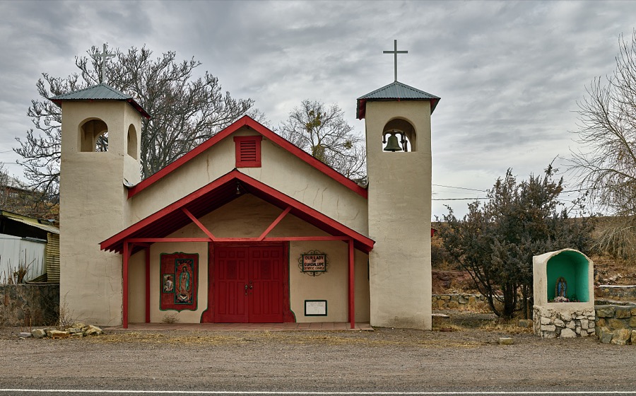
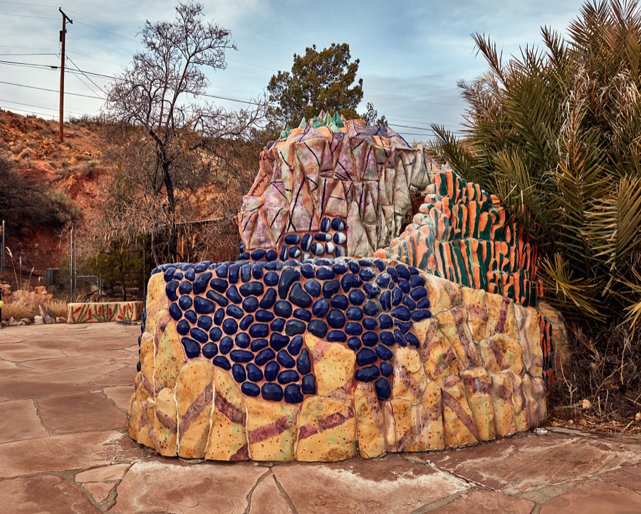
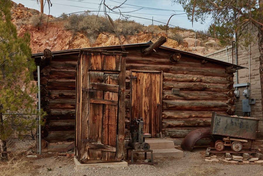
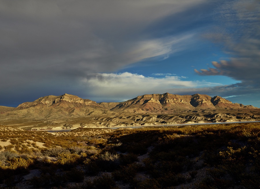
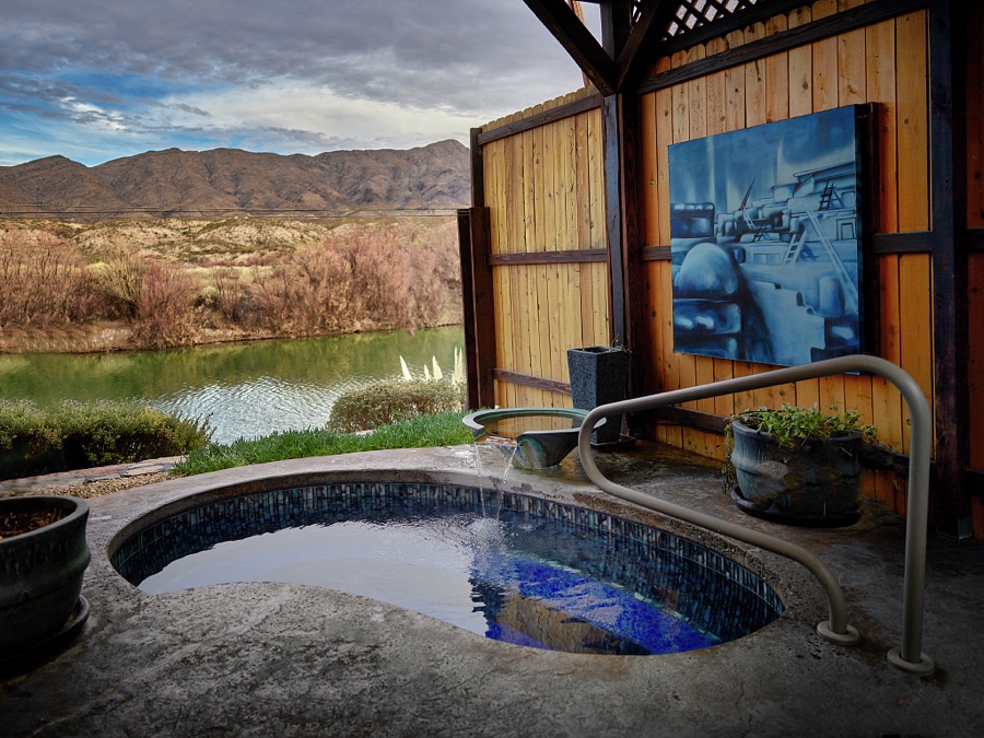
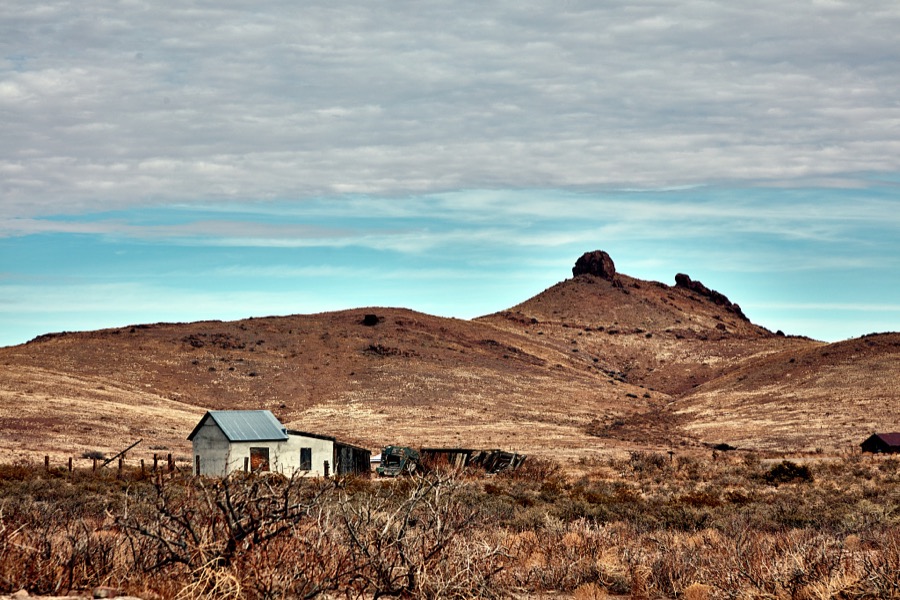
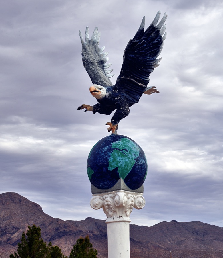
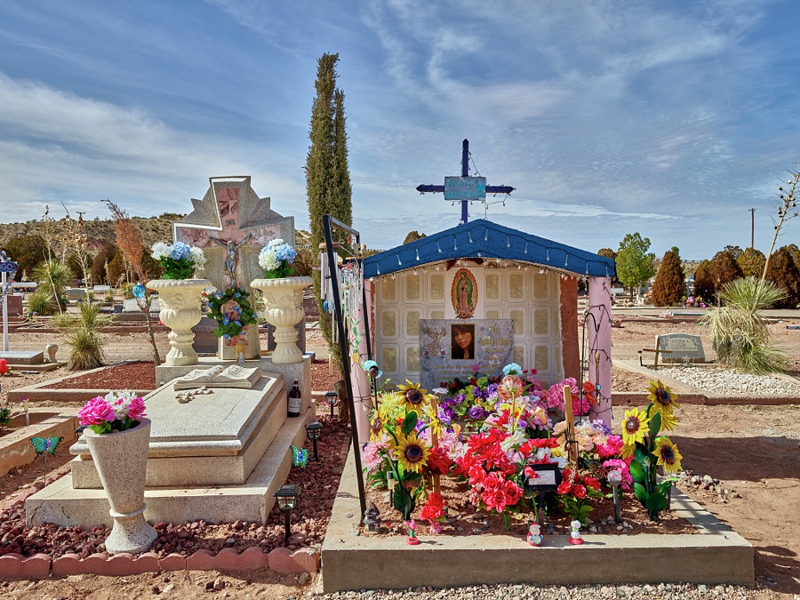
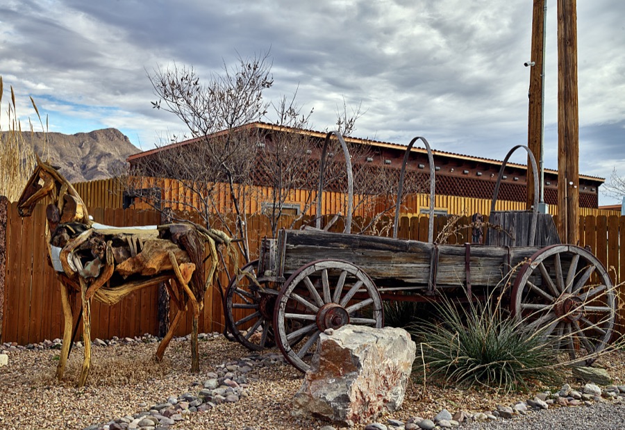
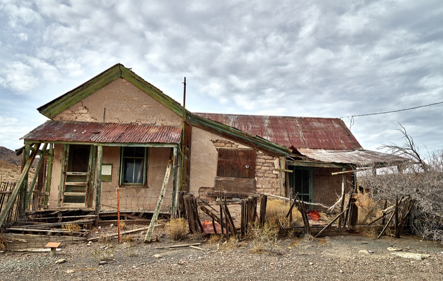
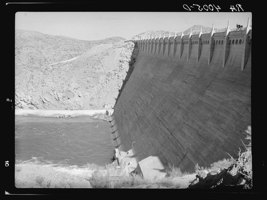
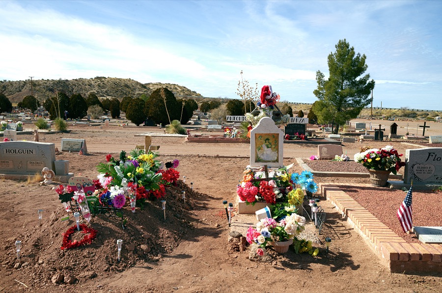
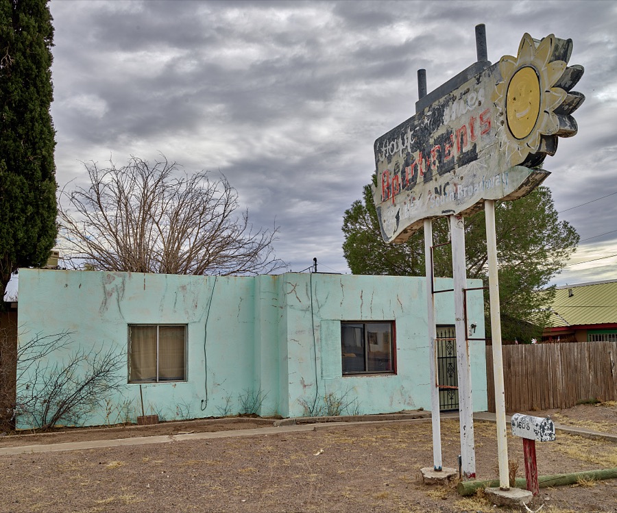
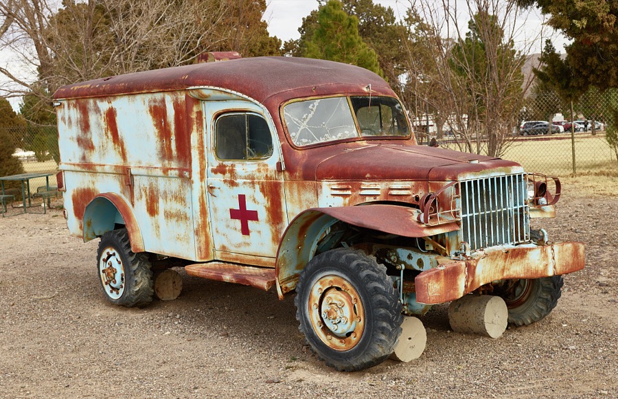
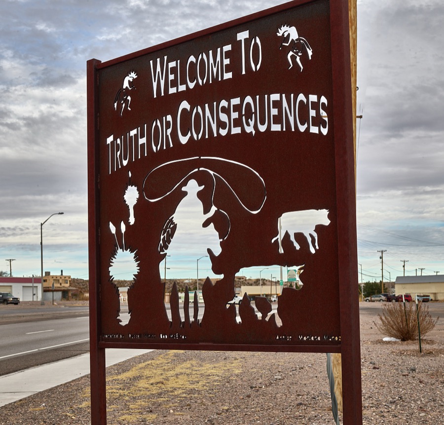
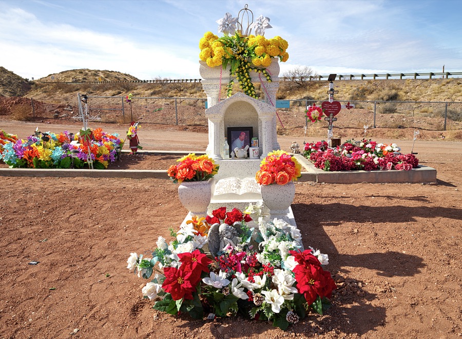
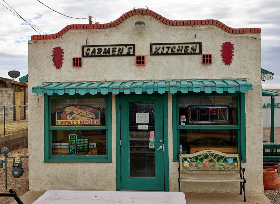
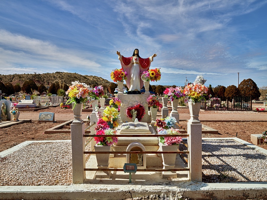
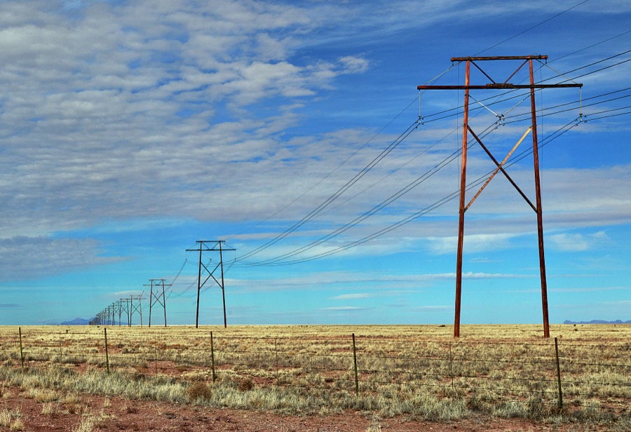
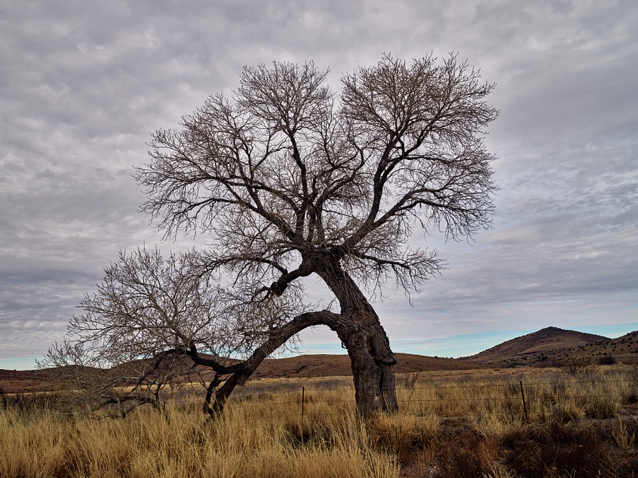
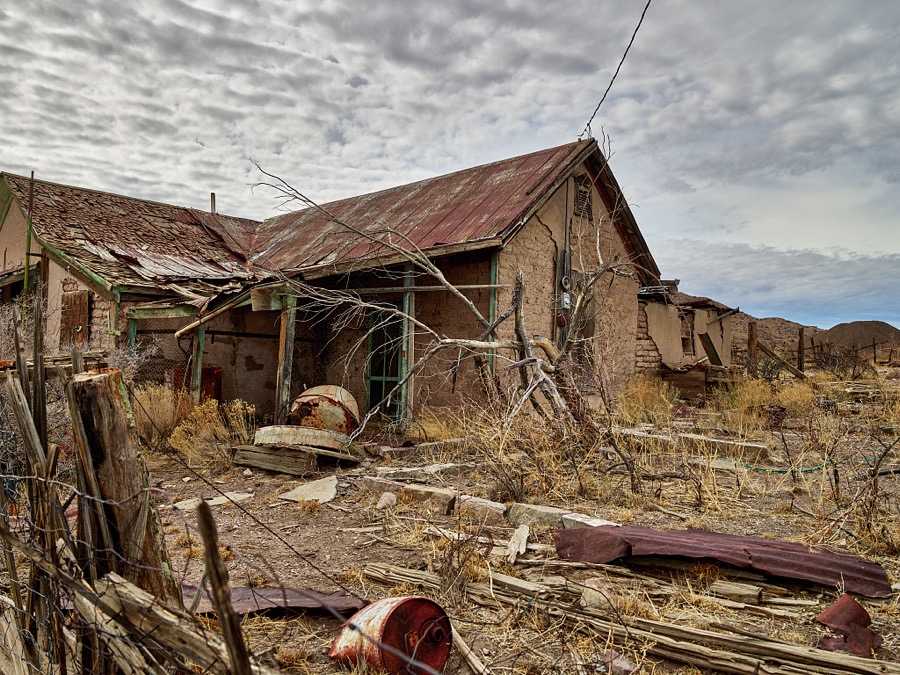
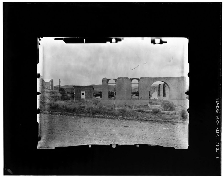
Every property in this county listed on the National Register of Historic Places, with the year it was listed and the federal nomination document.
| Photograph | Property | Type | Listed | Reference |
|---|---|---|---|---|
| Alert-Hatcher Building | building | 1995 | 95000460 | |
| William H. Bucher House | building | 1995 | 95000461 | |
 | Elephant Butte Dam | site | 1979 | 79001556 |
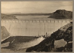 | Elephant Butte Historic District | district | 1997 | 96001616 |
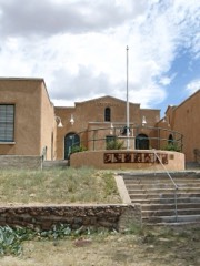 | Hillsboro High School | building | 1993 | 93000254 |
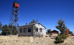 | Hillsboro Peak Lookout Tower and Cabin | structure | 1988 | 87002475 |
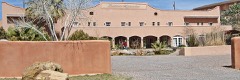 | Hot Springs Bathhouse and Commerical Historic District in Truth or Consequences | district | 2005 | 05000409 |
| Meyers House | building | 1995 | 95000463 | |
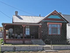 | George Tambling and Ninette Stocker Miller House | building | 1995 | 95000465 |
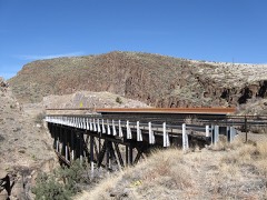 | Percha Creek Bridge | structure | 1997 | 97000731 |
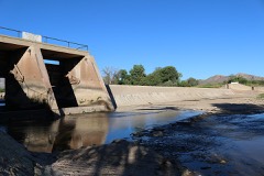 | Percha Diversion Dam | site | 1979 | 79001555 |
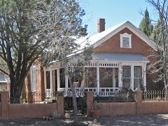 | Will M. Robins House | building | 1995 | 95000462 |
| Cornelius Sullivan House | building | 1995 | 95000459 | |
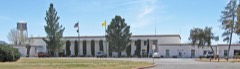 | Carrie Tingley Hospital Historic District | district | 2005 | 03001546 |
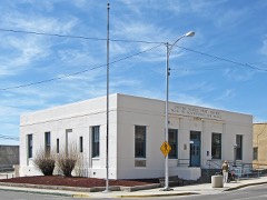 | US Post Office-Truth or Consequences Main | building | 1990 | 90000141 |
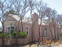 | John M. Webster House | building | 1995 | 95000464 |
Sampled issues, machine-read from the Library of Congress scan and published page by page, so every headline and column is searchable text.
Kingston, N.M., 1884 to 1960. Machine-read from the Library of Congress scan.
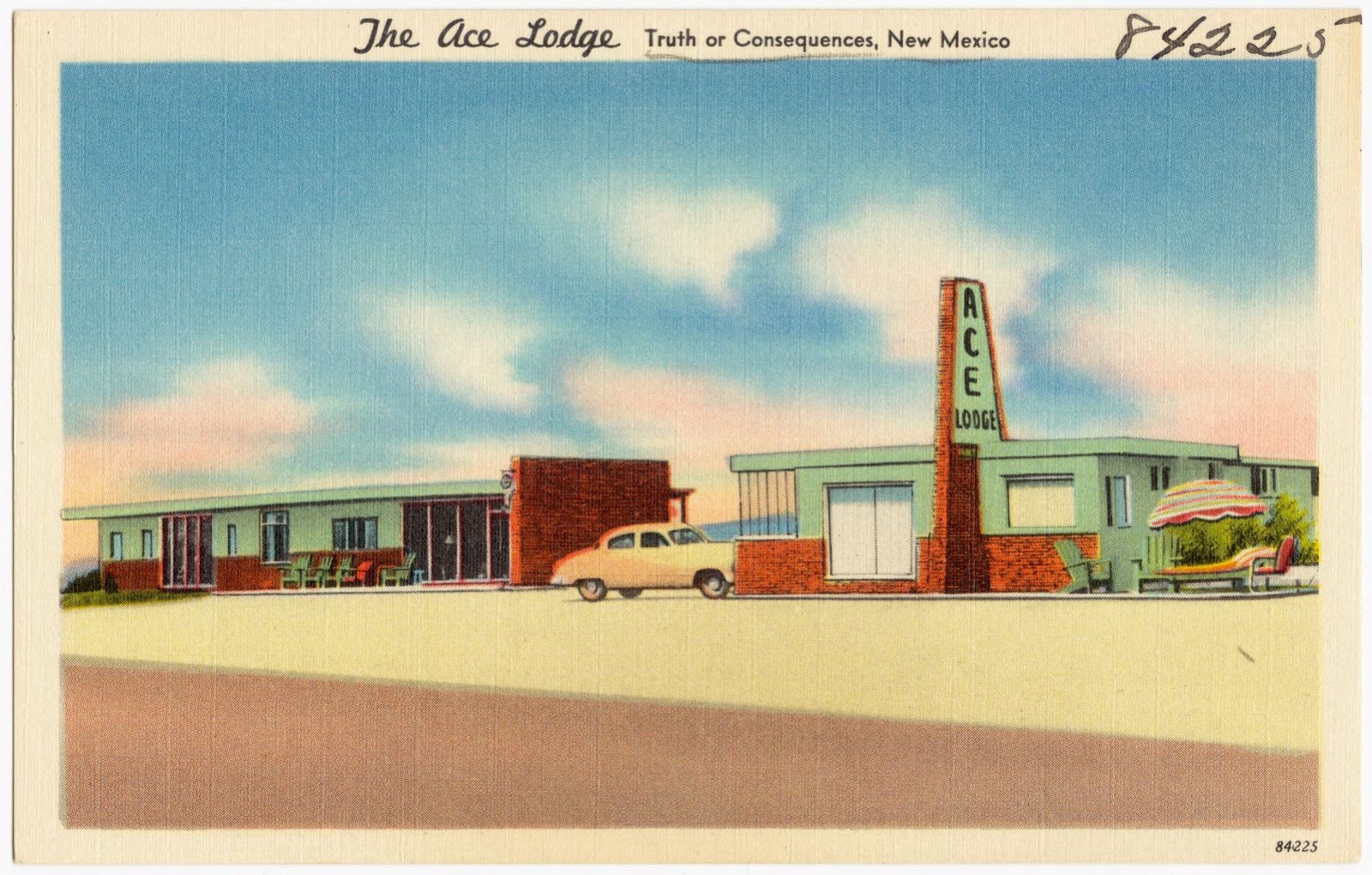
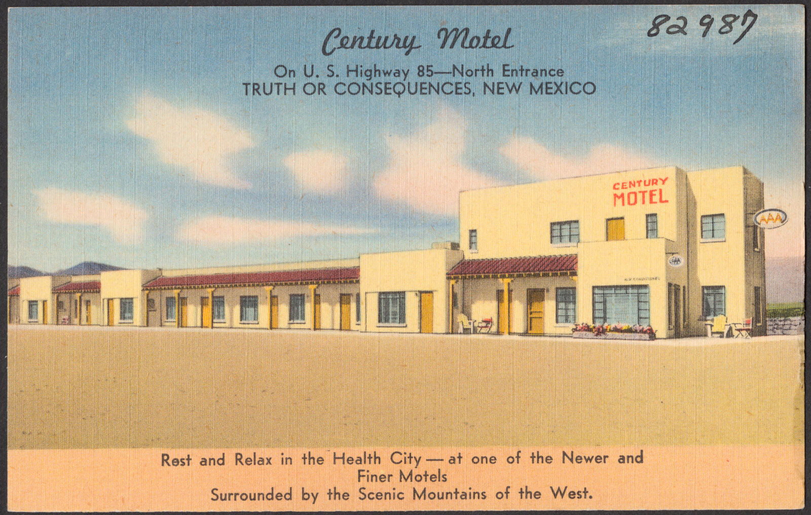
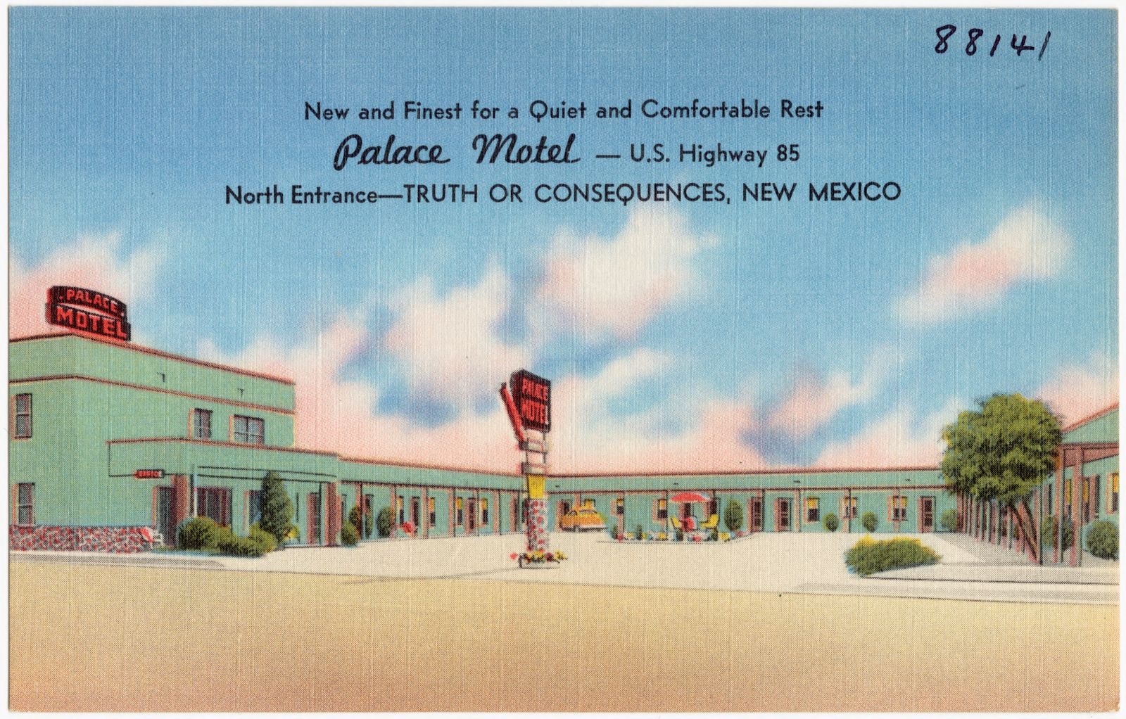
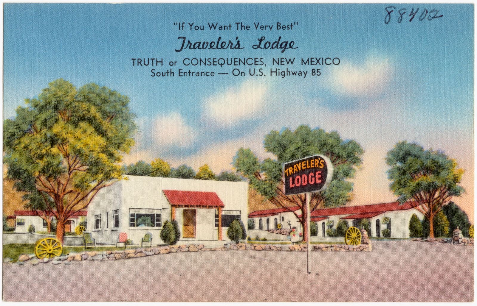
Selected from the Digital Public Library of America's 4 image records catalogued for this county. Every one shown here carries a public-domain status or a licence that permits reuse on a site that carries advertising; non-commercial, share-alike and restricted images are excluded. The selection is spread across the county's towns (at most eight per town), so no single institution's bulk upload crowds out the rest. Each opens the holding library's record, and the complete set at the Digital Public Library of America is one click away.
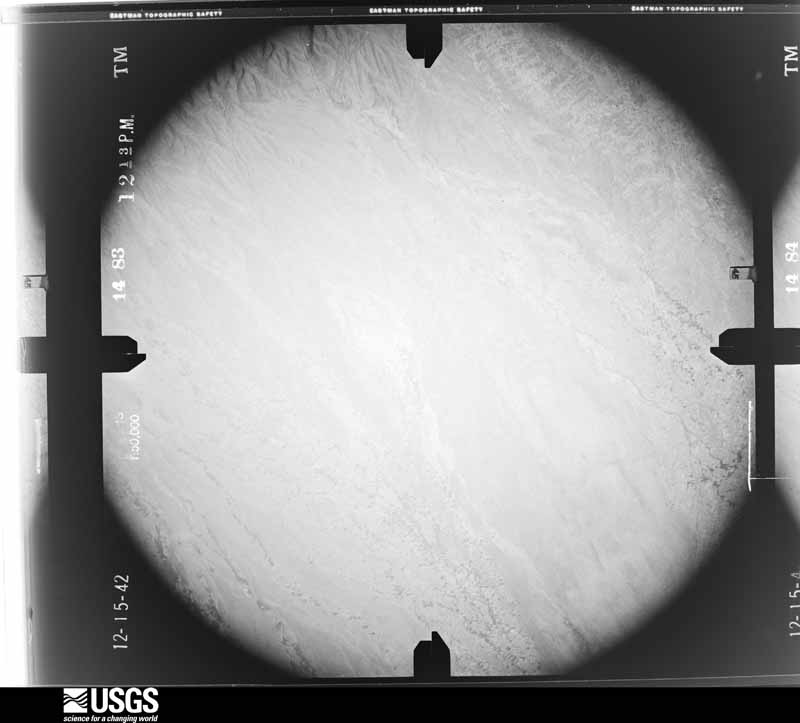
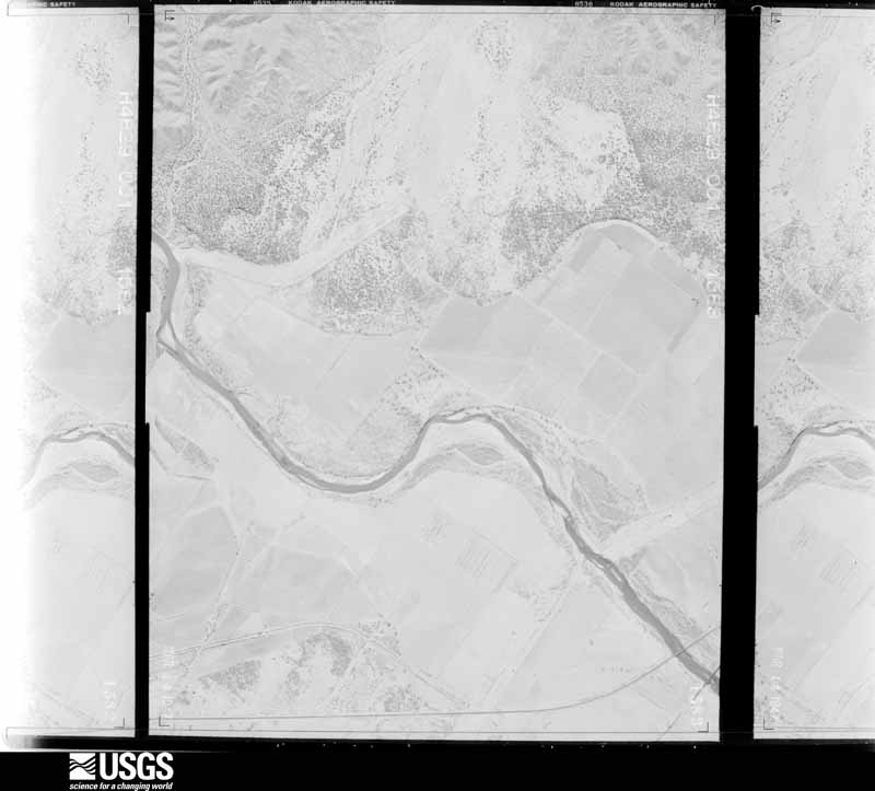
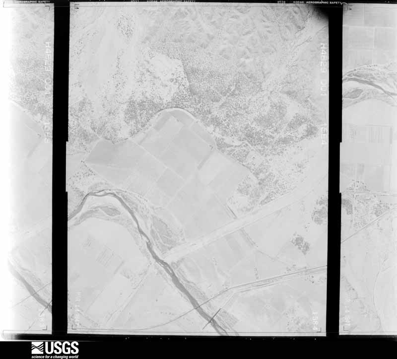
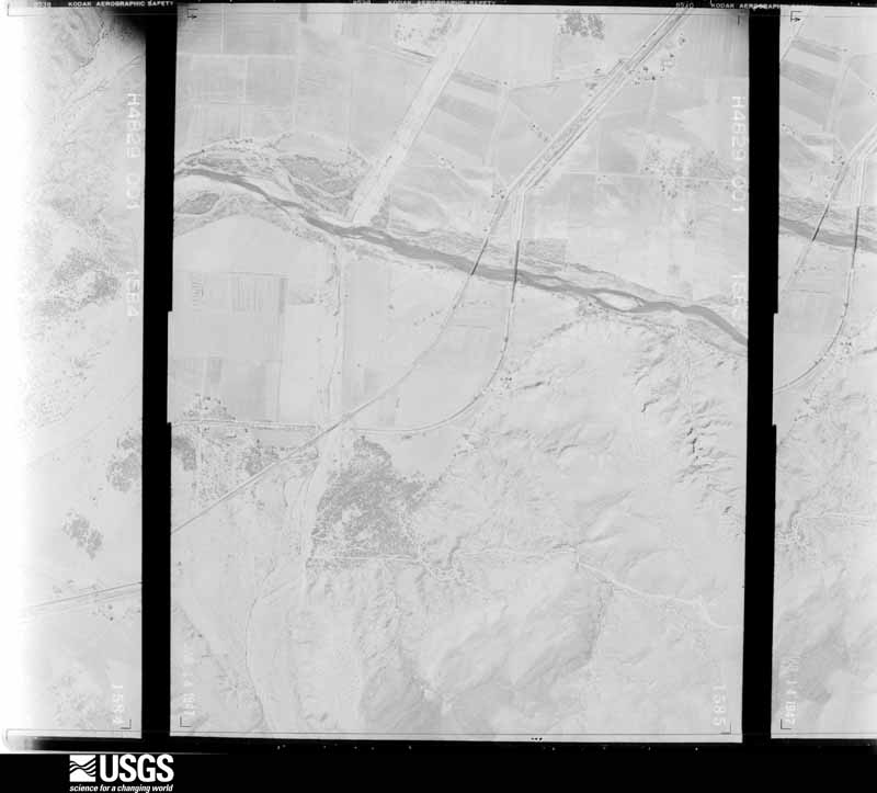
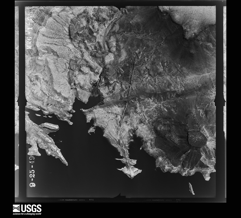
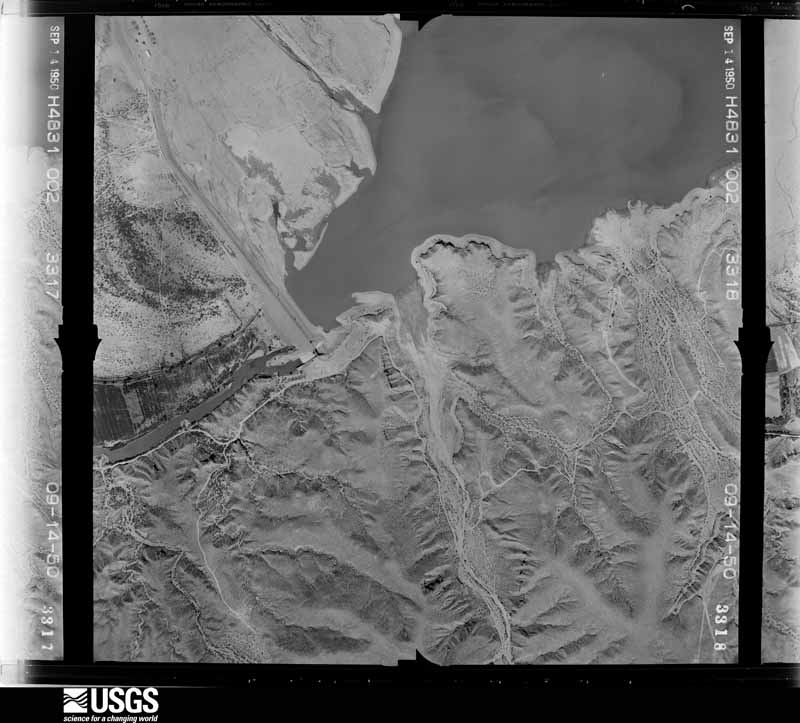
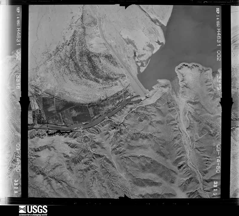
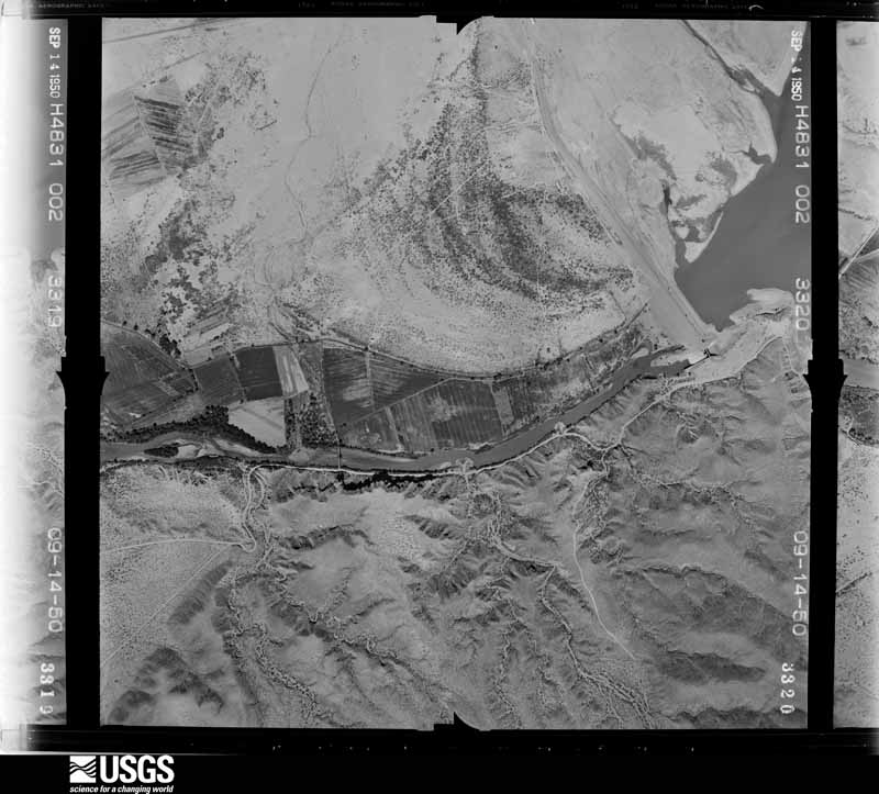
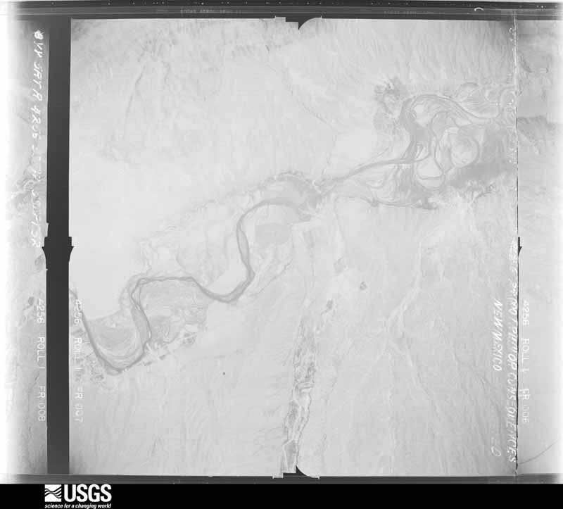
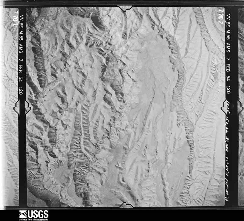
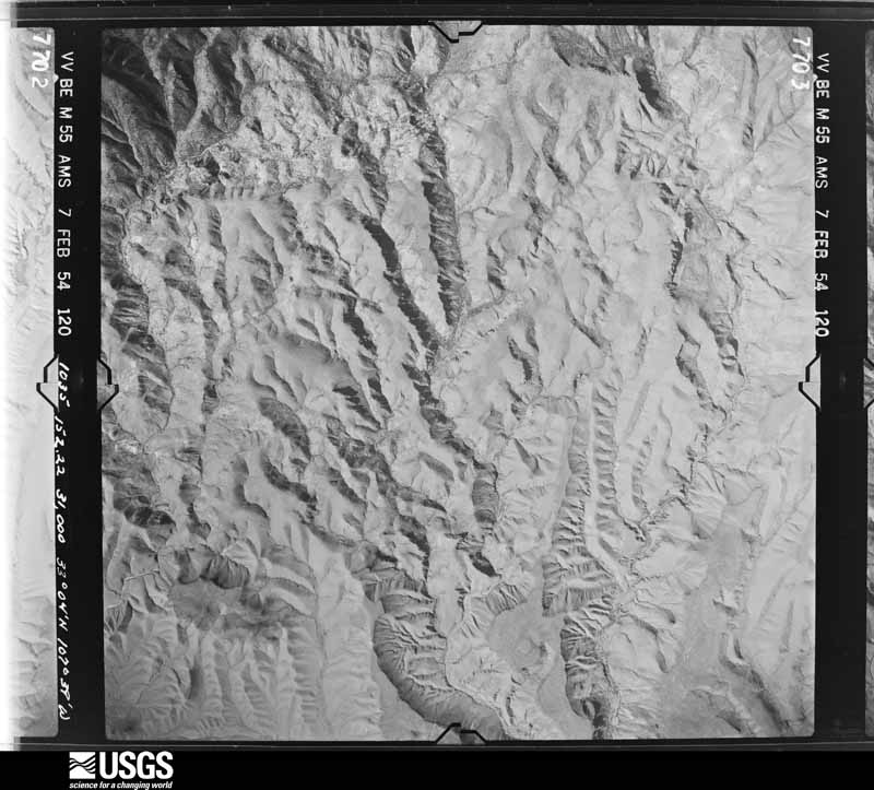
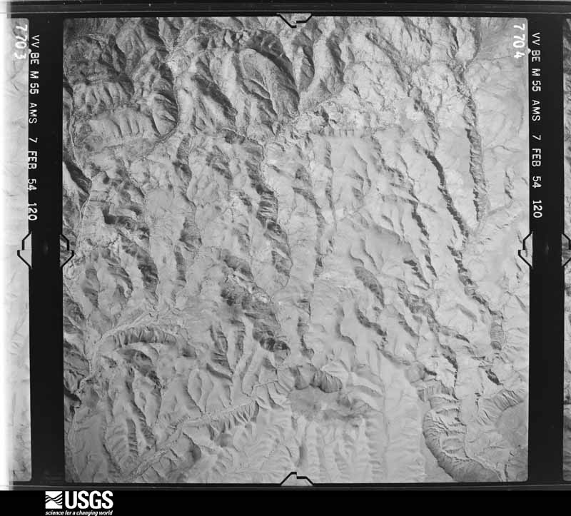
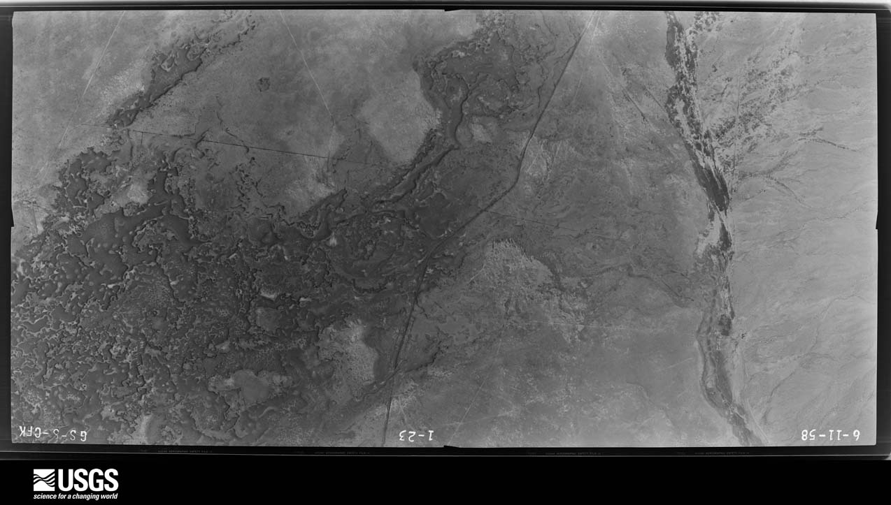
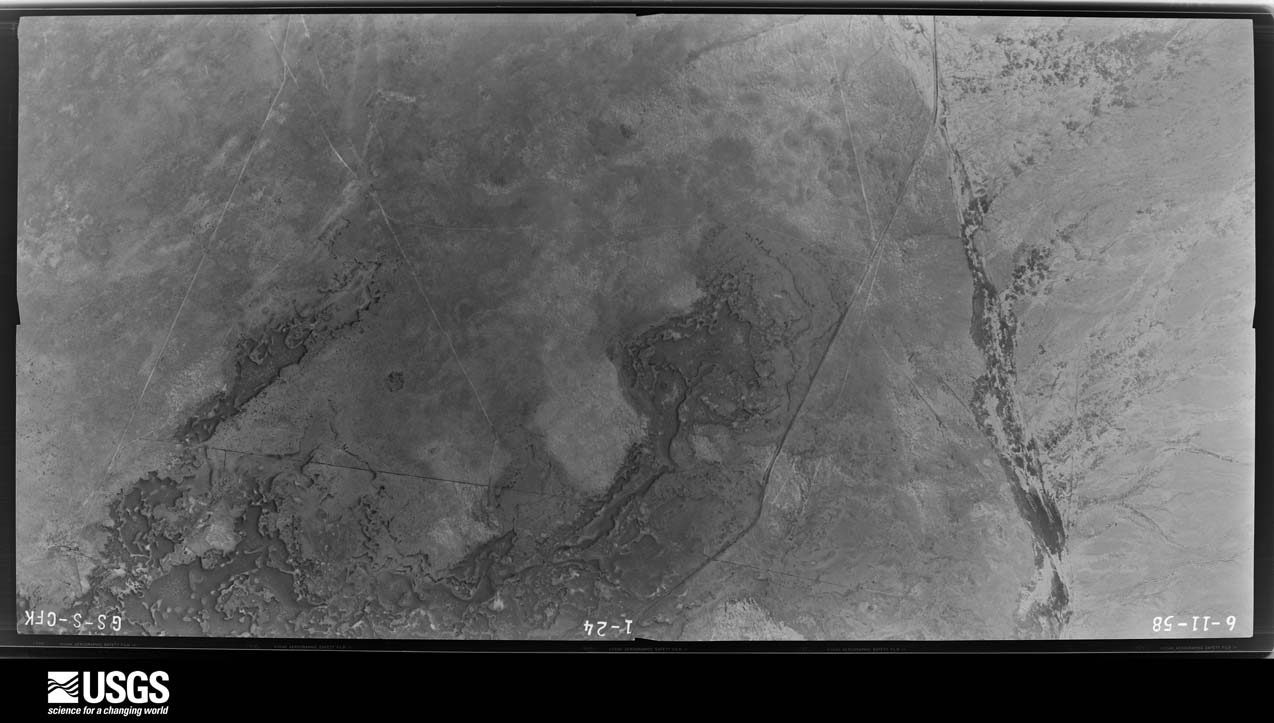
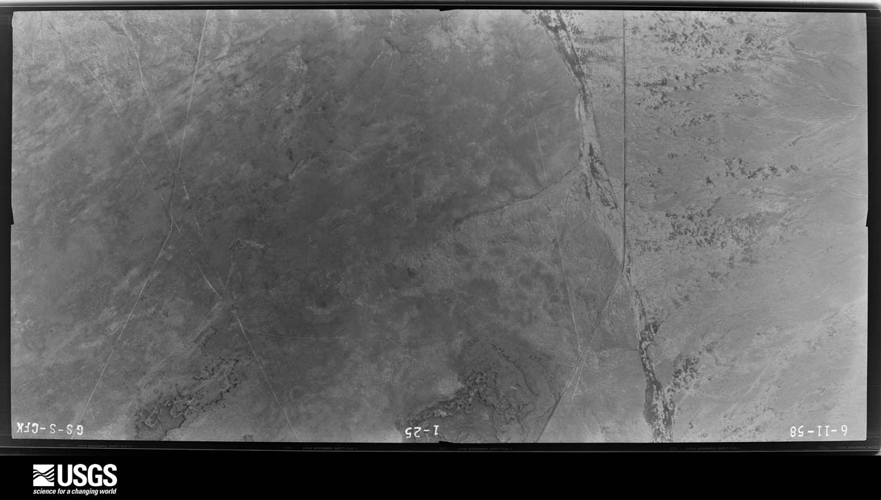
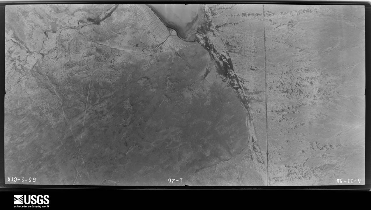
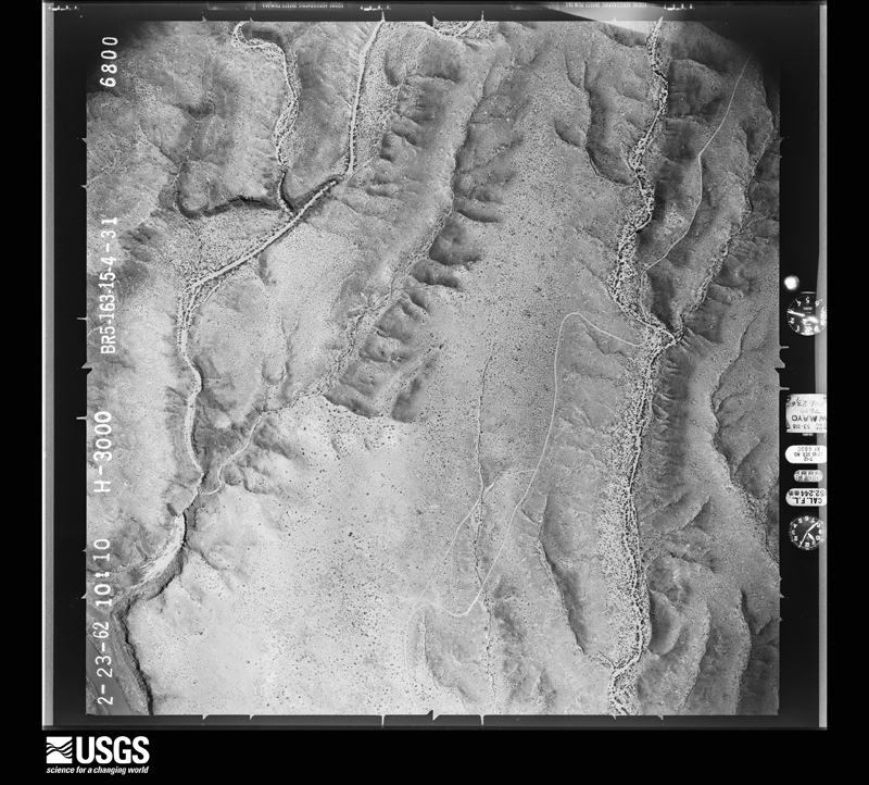
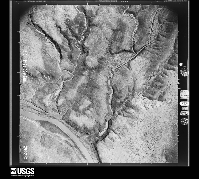
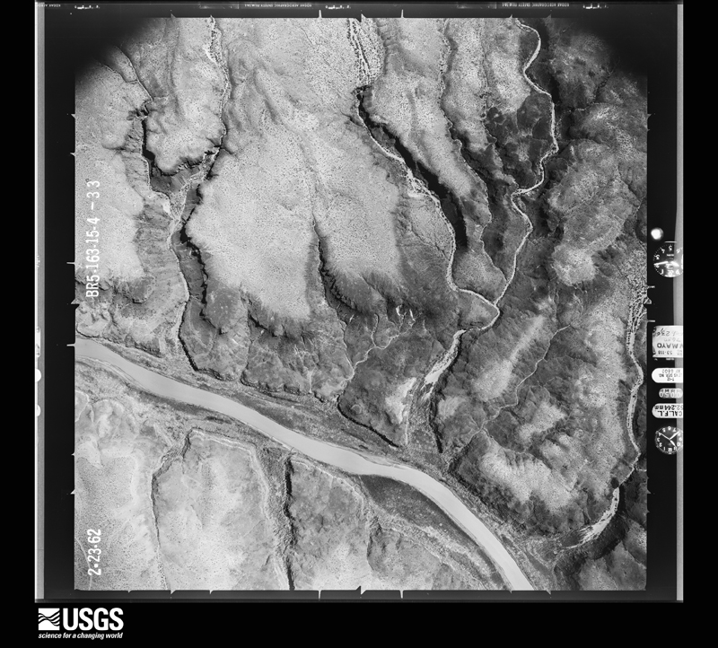
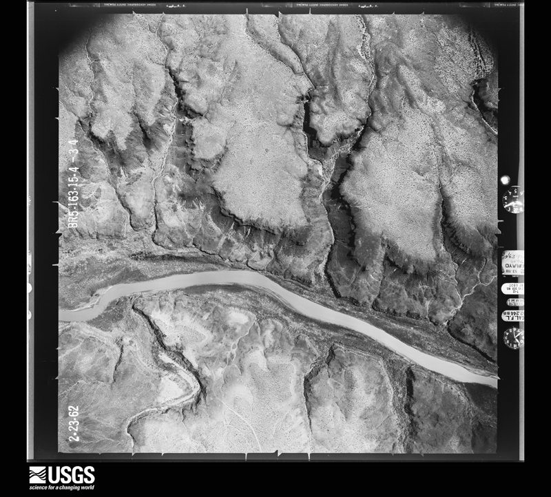
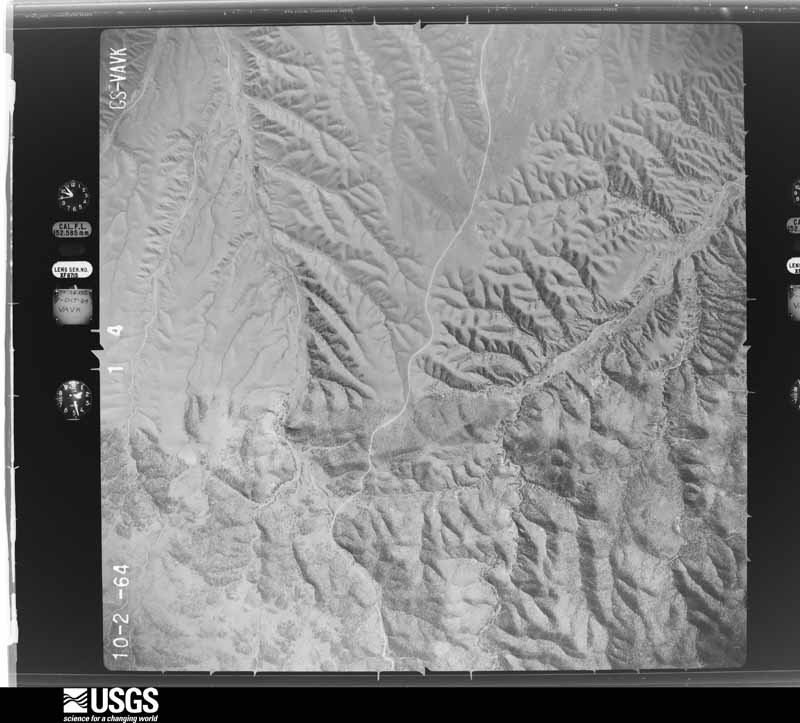
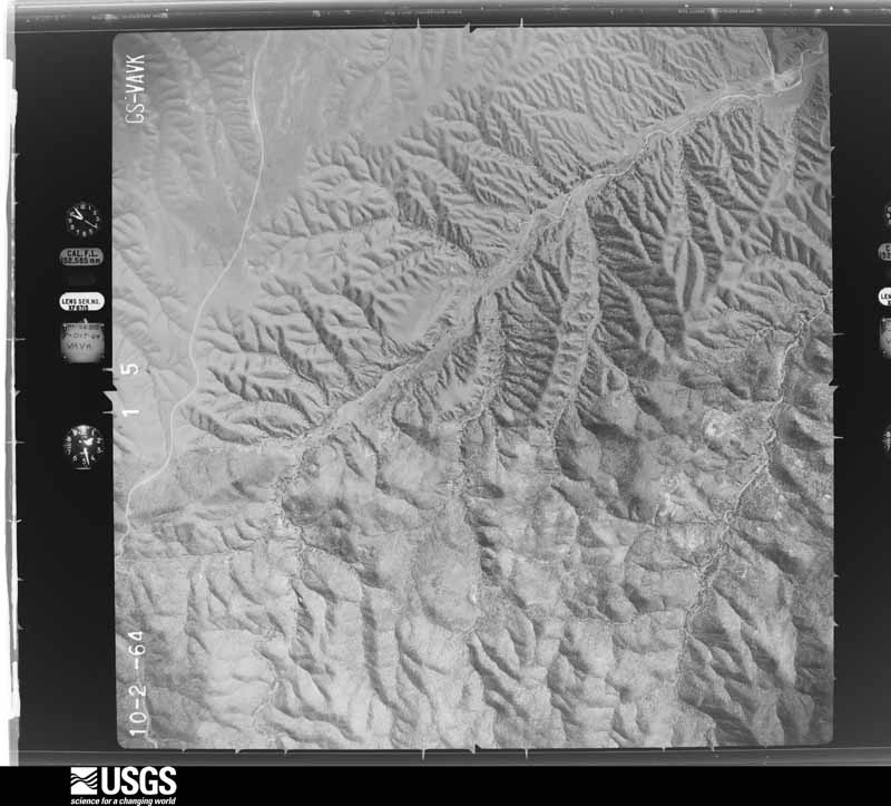
Flown by the U.S. Geological Survey between 1937 and 1989, the Aerial Photo Single Frames collection is the definitive mid-century view of the land: fields, roads and rivers as the camera saw them. The Survey holds 6,002 frames inside the rectangle that bounds this county; the 48 frames below were taken over the county itself, chosen across the decades of flights (at most four a year from that rectangle), so one flight cannot crowd out the rest. The full set is free to browse and download at EarthExplorer under the dataset Aerial Photo Single Frames.
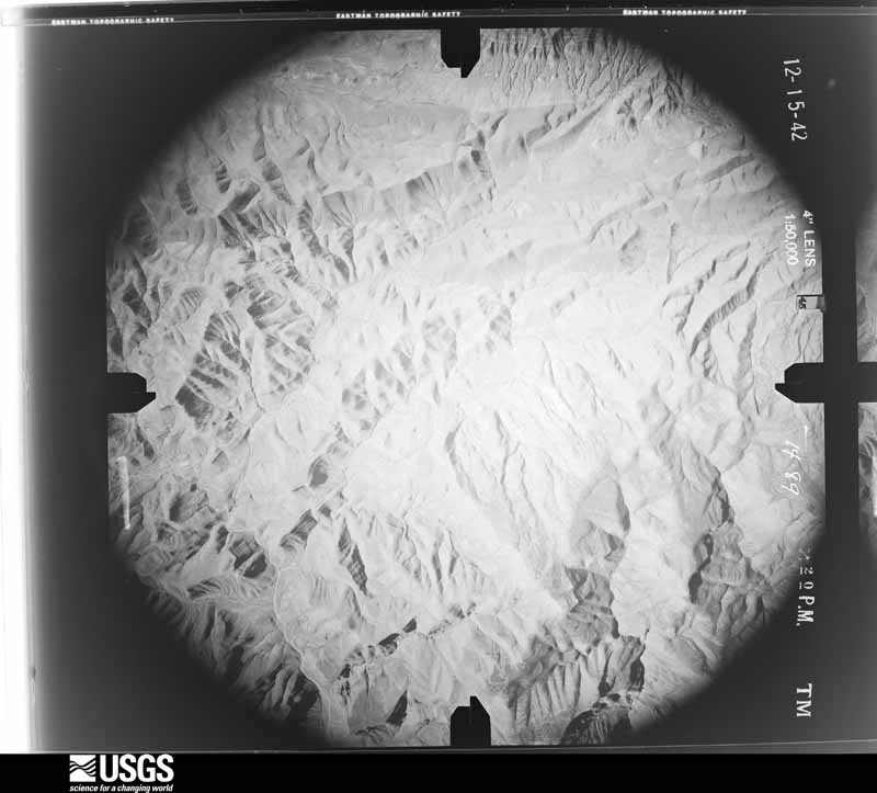
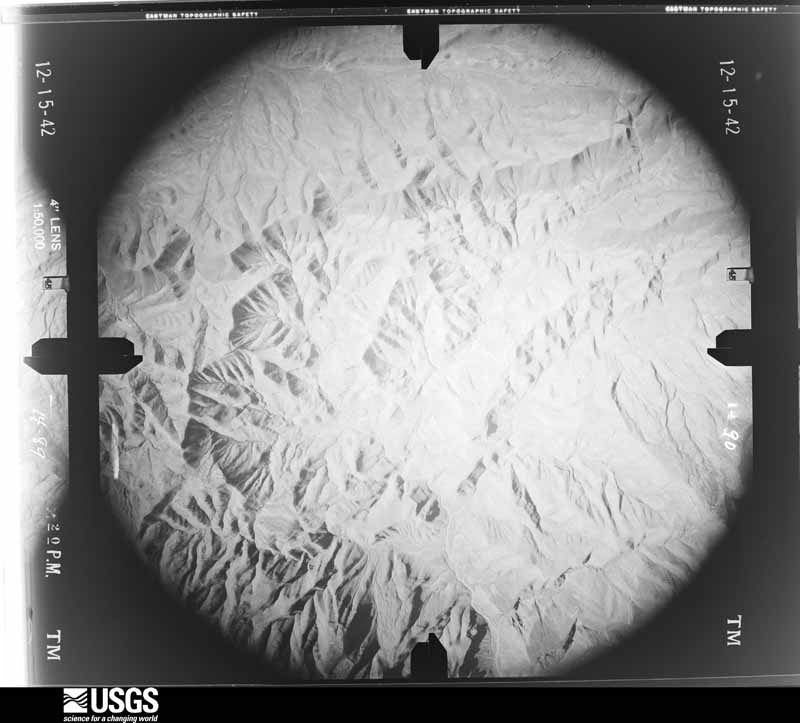
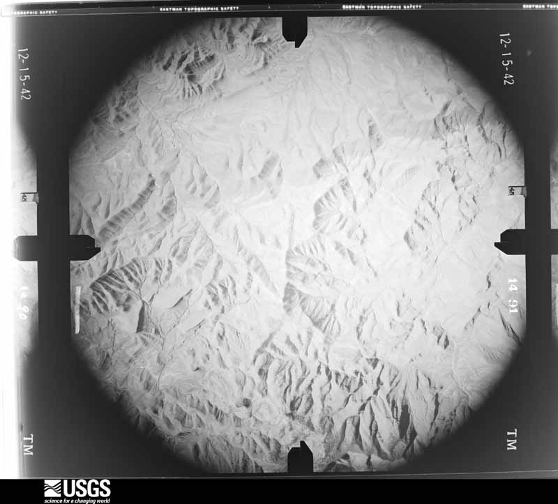
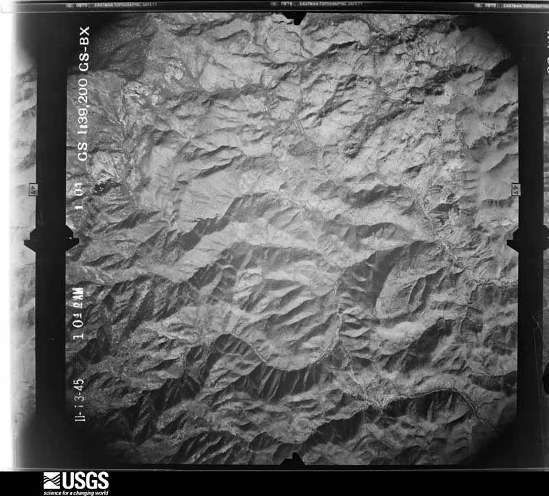
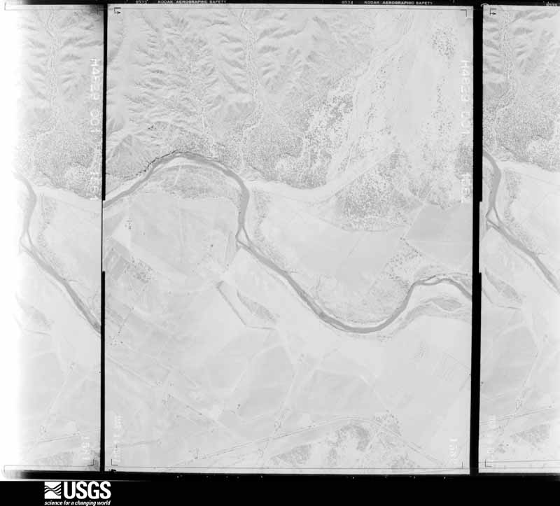
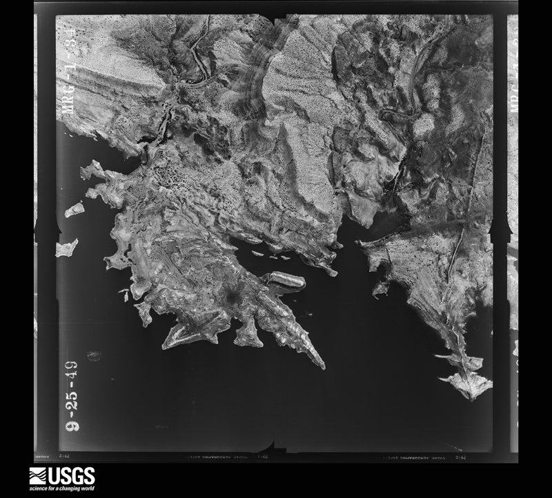
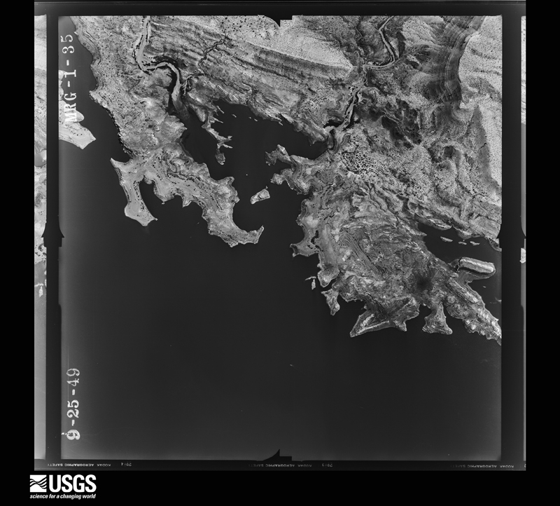
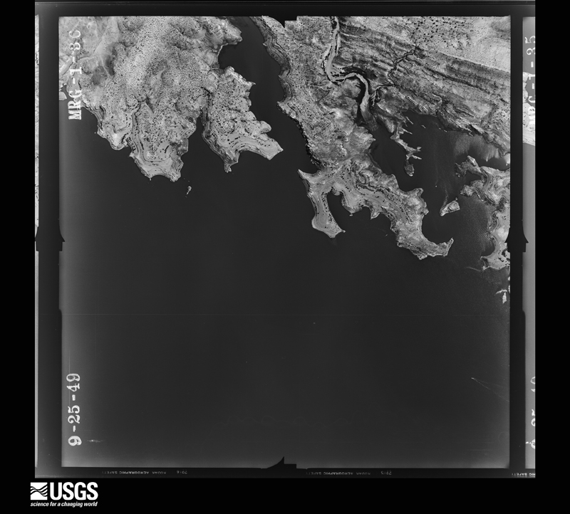
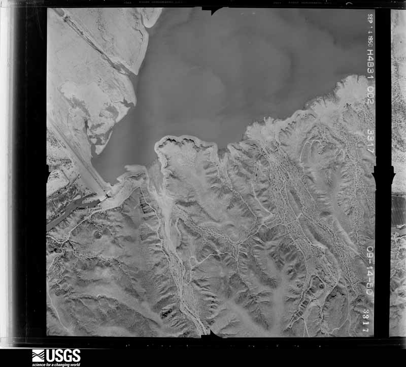
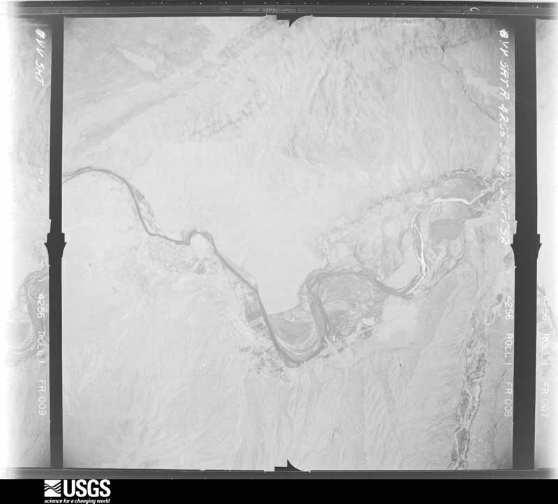
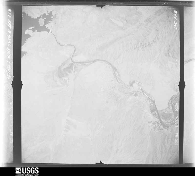
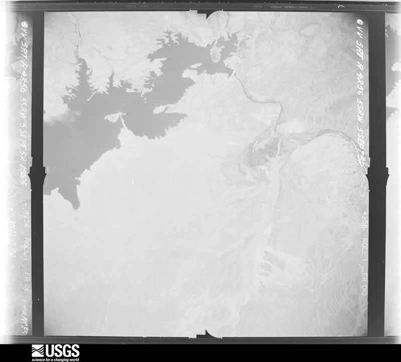
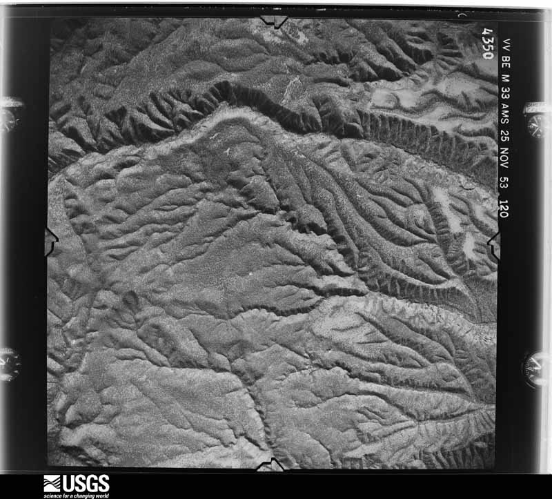
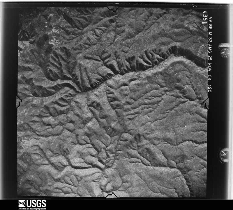
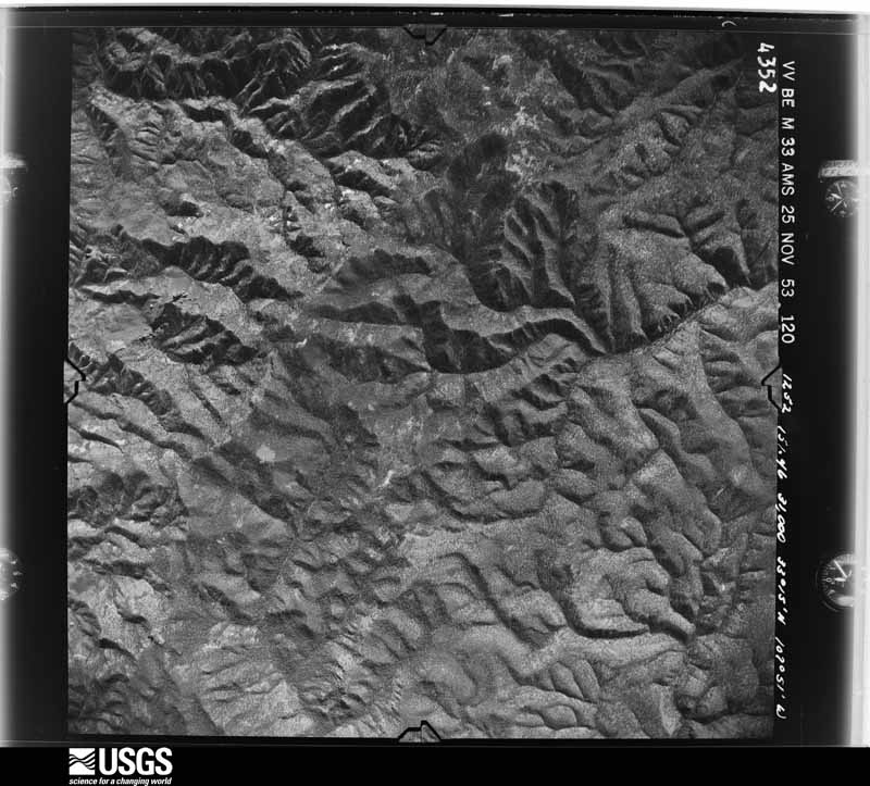
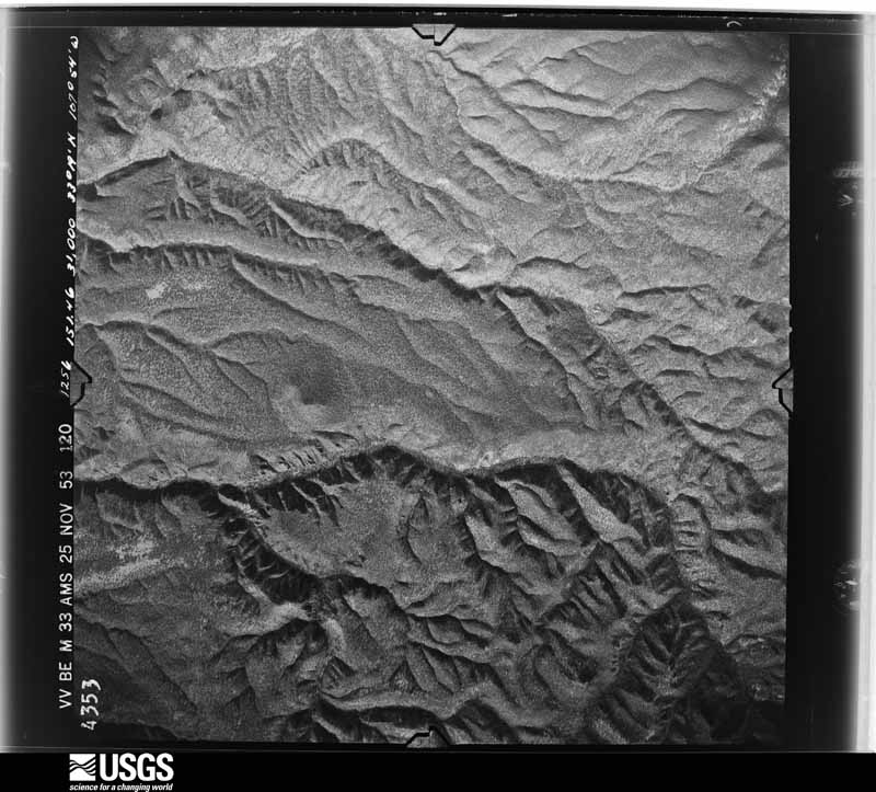
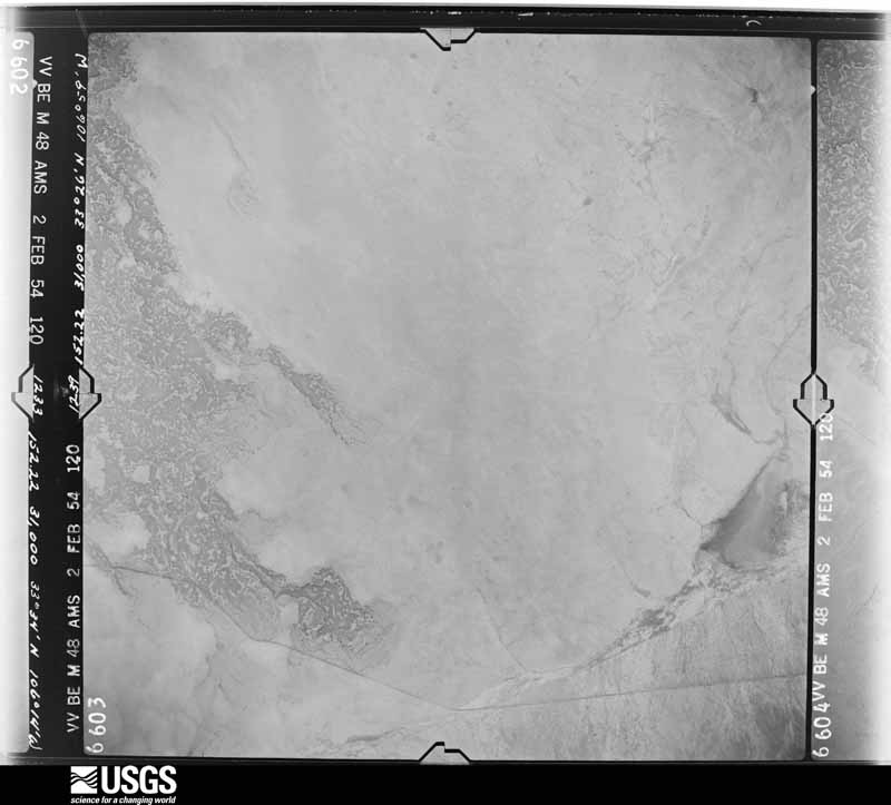

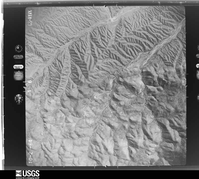
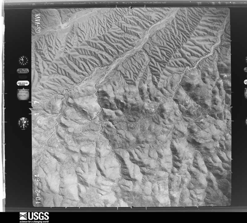
The thermometers that kept this county's weather, and the gages that measured the flow of its streams, as the federal records hold them. The extremes below are measured values from those records, not estimates.
Who lived here in 1950, one enumeration district at a time, as the Census Bureau described each district. Each row opens its official National Archives result, with Population Schedules and ED Maps available there.
Every wildfire the federal occurrence database records inside this county: 566 of them, burning about 97,502 acres. 434 started naturally and 5 were recorded as arson. Each settlement page carries the fires within five miles of it.
| Reported cause | Fires |
|---|---|
| Natural | 434 |
| Missing data/not specified/undetermined | 68 |
| Equipment and vehicle use | 21 |
| Debris and open burning | 14 |
| Recreation and ceremony | 12 |
| Smoking | 7 |
| Arson/incendiarism | 5 |
| Power generation/transmission/distribution | 3 |
| Railroad operations and maintenance | 1 |
| Misuse of fire by a minor | 1 |
The five largest, by the area the report gives. None of them was recorded as arson.
| Date | Cause | Size | Reported by | Name on the report |
|---|---|---|---|---|
| 28 April 2003 | Natural | 34,941 acres | Socorro Field Office | BOILER |
| 6 June 2017 | Natural | 7,524 acres | Gila National Forest | ROUND |
| 20 June 2003 | Natural | 5,300 acres | Gila National Forest | SECO |
| 6 June 2003 | Natural | 4,986 acres | Gila National Forest | MORGAN |
| 4 June 2000 | Natural | 4,500 acres | Las Cruces Field Office | GRANDADDY |
| 28 May 1993 | Natural | 4,200 acres | Gila National Forest | BLACKHAWK |
| 12 July 2000 | Natural | 4,070 acres | Gila National Forest | SIERRA |
| 11 July 2003 | Natural | 3,900 acres | Gila National Forest | GRANITE |
Every settlement page carries the fires within five miles of it - see the settlement index below.
The NOAA Storm Events Database holds 149 reports for this county, causing 2 deaths, no injuries and about $6,599,560 in recorded property damage. Each settlement page carries the reports that name it.
| Kind of event | Reports |
|---|---|
| Flash Flood | 61 |
| Hail | 41 |
| Thunderstorm Wind | 34 |
| Tornado | 5 |
| Heavy Rain | 5 |
| Flood | 2 |
| High Wind | 1 |
The most serious of them, by death, then injury, then recorded damage. The accounts are quoted exactly as the forecast office filed them.
| When | Event | Place named | Harm | What the report says |
|---|---|---|---|---|
| September 2013 | Flash Flood | (Tcs)Truth/Consqnces | 1 killed, $500,000 | The Sierra County Emergency Manager reported several bridges washed out and evacuations taking place around Truth or Consequences. A total of 3.35 inches of rain was reported at the New Mexico State Veterans Home. One death was reported by State Police in Ash Canyon near Elephant Butte Dam. A newspaper report said several dams were breached and over 200 homes were evacuated. Several roads were closed and bridges washed out due to flooding including along Highway 187. |
| August 1998 | Hail | Kingston | 1 killed | no account filed |
| July 2020 | Flash Flood | Williamsburg | $2,400,000 | There was extensive flash flooding of roads and buildings around Truth or Consequences and Williamsburg. Near-zero visibility was reported in the heavy rain along with pea sized hail. A trained spotter reported 4.10 inches of rain in about one hour. A car was washed off the road. Multiple homes were evacuated around the two towns. The Rio Grande was threatening to exit its banks, therefore causing Elephant Butte Dam having to be closed. |
| August 2015 | Thunderstorm Wind | Elephant Butte | $1,100,000 | Storm survey revealed numerous boats damaged at Marina Del Sur on the south end of Elephant Butte Lake. A couple of metal roofs covering the boats were torn off and/or collapsed and concrete slabs anchoring down the structures were pulled out of the water. An eyewitness described a downburst lasting 15 minutes with torrential rainfall and zero visibility. Property damage was in excess of $1 million. |
| June 1996 | Flash Flood | Truth Or Consequence | $1,000,000 | no account filed |
| September 2002 | Flash Flood | Cuchillo | $500,000 | Persistent heavy rains from thunderstorms repeatedly moving over the same area resulted in Cuchillo creek spilling out of its banks and damaging most of the roads from Cuchillo northwestward toward Monticello. Residents around Cuchillo were told to evacuate. Floodwaters, initially a flash flood, remained at least until the following morning. Estimates of two inches of rain fell on ground saturated from days of previous heavy rains. |
| July 2008 | Flash Flood | (Tcs)Truth/Consqnces | $300,000 | Two thunderstorms with very heavy rain passed over Truth or Consequences and Elephant Butte. Highways 51 and 195 were closed, and many other streets were impassable. Water entered businesses along Broadway Street downtown. A 7 foot deep wall of water in Ash Canyon (east of Truth or Consequences) washed out Highway 51 and triggered mudslides. |
| August 2008 | Flash Flood | Las Palomas | $150,000 | Cuchillo Creek overflowed, closing nearby roads as well as Highway 187 near Las Palomas. Levees were washed out and at least one home was heavily damaged. |
| September 2009 | Flash Flood | Las Palomas | $125,000 | More than 2.5 inches of rain resulted in flash flooding around Palomas. At least 5 homes were inundated and several cars were stranded in flood waters. |
| July 2013 | Thunderstorm Wind | (Tcs)Truth/Consqnces | $100,000 | At least 12 RV trailers were blown over and flipped in Elephant Butte State Park between Hot Springs Landing and Rock Canyon Marina. Some were displaced 30 to 40 yards and a few even went airborne. Winds of more than 70 mph were measured at Marina Del Sur. Damage survey assessment team found damage indicative of 80 to 90 mph. Several people in the town of Elephant Butte lost their porches and had a lot of roof damage as well. |
| August 2006 | Flash Flood | Truth Or Consequences | $80,000 | Major street flooding was reported in Truth or Consequences, with the downtown area and points east hardest hit. Water entered businesses and the high school causing damage. |
| August 2009 | Flash Flood | Winston | $75,000 | Thunderstorms training over far northwestern Sierra County resulted in rainfall amounts of more than 5 inches. The Sierra County Emergency Manager reported a wall of water 12 feet high moved through the Poverty Creek area. One family was evacuated and an unoccupied trailer was washed away. |
| July 2025 | Thunderstorm Wind | Truth Or Consequence | $50,000 | Time estimated based on radar. EM Reported several damaged structures including a roof blown from a house, damaged restroom at the golf course and 6 power poles snapped. All of this was between the golf course southward to Broadway Street. |
| July 2017 | Thunderstorm Wind | Truth Or Consequence | $30,000 | Numerous large trees were blown down, two sheds blown over and a roof was blown off of a restaurant. |
| September 2025 | Thunderstorm Wind | Monticello | $25,000 | Social media report showed snapped power poles around Monticello as well as a damaged barn. |
| June 2008 | Thunderstorm Wind | Elephant Butte | $25,000 | Strong outflow winds from a distant thunderstorm complex produced winds gusting to 50 mph in northern Sierra County. These winds persisted long enough over Elephant Butte Reservoir to produce 4 to 5 foot waves, which caused a marina to break up. Persons in the vicinity of the marina were evacuated. |
| July 2002 | Flash Flood | Monticello | $25,000 | Very heavy rainfall from thunderstorms was measured at almost 6 inches in less than an hour in Monticello, with 4 inches at nearby Placita. A flash flood in Monticello Canyon washed out Highway 142 at the mouth of the canyon. |
| August 2006 | Flash Flood | Central Portion | $20,000 | Two to three inches of rain led to flooding from Truth or Consequences to Lake Valley (south of Hillsboro). In Truth or Consequences there were road closures (including Highway 187), retaining walls toppled and at least one business flooded. The old high school also experienced flooding. |
| July 2010 | Flash Flood | Truth Or Consequence | $10,000 | Numerous buildings and streets were flooded through the town of Truth or Consequences. |
| July 2009 | Flash Flood | Lake Vly | $10,000 | New Mexico Highway 27 was washed south of Hillsboro, NM. It affected a 10 foot stretch of the road, covering a half lane with a 6 foot drop off. |
| July 2008 | Flash Flood | Monticello | $10,000 | Multiple low water crossings were flooded. Other areas were only accessible to four wheel drive vehicles due to excessive debris. |
| September 2004 | Hail | Truth Or Consequences | $10,000 | Hail accumulated to 4 inches on Interstate 25 south of Truth or Consequences, leading to multiple vehicle accidents. The largest hail reported by NMDOT was golf ball size. |
| August 2004 | Flash Flood | Hillsboro | $10,000 | Heavy thunderstorm rains estimated at more than 3 inches fell on the northeastern slope of the Black Mountains and caused excessive runoff and flash flooding in and around Hillsboro. All roads were flooded during the peak of the storm. Access to a nearby youth camp was cut off for days. |
| June 2000 | Flash Flood | Truth Or Consequences | $10,000 | no account filed |
| July 2008 | Thunderstorm Wind | Hillsboro | $5,000 | A Skywarn Spotter relayed a report from a rancher of trees blown down on his ranch. |
| July 2008 | Flash Flood | Kingston | $5,000 | Heavy rain caused a rock slide on Highway 152 near Emory Pass on the Sierra/Grant County Line. |
| July 2006 | Flash Flood | Truth Or Consequences | $5,000 | A thunderstorm brought about 3 inches of rain, most of it falling within an hour, which resulted in major street flooding and some road wash outs. Highway 51 east of town had to be closed. |
| May 2005 | Thunderstorm Wind | Arrey | $5,000 | A dry microburst flipped a 35 foot trailer and caused power outages. |
| June 2002 | Hail | Hillsboro | $5,000 | A severe thunderstorm produced hail up to quarter size which accumulated to a depth of 8 inches in Lake Valley. The weight of the hail partially collapsed the roof of a new home in the area. |
| July 2009 | Thunderstorm Wind | Caballo | $4,000 | A power outage resulted from 4 power poles blown over. |
| August 2014 | Flash Flood | Alivio | $3,000 | A Spaceport official reported over 2 inches of rain falling in about 80 minutes. The main road south of the Spaceport was washed out and closed for approximately 3 days. |
| September 1971 | Tornado (F1) | not stated | $2,500 | no account filed |
| June 1982 | Tornado (F0) | not stated | $30 | no account filed |
| May 1958 | Tornado (F0) | not stated | $30 | no account filed |
| May 2025 | Thunderstorm Wind | Engle | - | The Denver WIT Mesonet site on the White Sands Missile Range recorded a peak gust of 60 mph. |
| July 2025 | Flash Flood | Elephant Butte | - | Mescal Canyon low water crossing at Turtleback Ave was flooded and too dangerous to cross. Discharge from the Mescal Canyon caused a 0.65 foot backwater spike on the Rio Grande gauge below Elephant Butte Dam, upstream of Mescal Canyon. Water levels on the Rio Grande came close to riverside porches in Truth or Consequences but no damage. |
| July 2025 | Flash Flood | Crocker | - | Range Road on the White Sands Missile Range was washed out from flooding. Time is approximate. |
| July 2025 | Heavy Rain | Lake Vly | - | A report of 2.27 inches of rain reported approximately 12 miles south-southwest of Hillsboro. |
| September 2025 | Thunderstorm Wind | (Tcs)Truth/Consqnces | - | The Truth or Consequences Airport reported a peak gust of 77 mph. |
| September 2025 | Thunderstorm Wind | Arrey | - | Tree limbs were reported down throughout Percha Dam State Park. |
| September 2025 | Thunderstorm Wind | Aleman | - | The Salt Creek Mesonet Station reported a peak gust of 63 mph. |
| September 2025 | Flash Flood | Monticello | - | Social media video showed evidence of mud flows and damage from flash flooding near the town of Monticello. |
| July 2024 | Flash Flood | Williamsburg | - | Sierra County dispatch reported flooding across Truth or Consequences, Elephant Butte and Williamsburg. |
| June 2024 | Thunderstorm Wind | (Tcs)Truth/Consqnces | - | A peak gust of 59 mph was recorded by the ASOS at the Truth or Consequences Airport. |
| October 2022 | Heavy Rain | Kingston | - | An observer reported 2.99 inches in Kingston and another report in Hillsboro of 2.15 inches. |
| August 2022 | Flash Flood | Placita | - | Several videos from a spotter as well as verbal confirmation of flash flooding near Highway 142. |
| June 2022 | Flash Flood | Chloride | - | Water from Cuchillo Creek was crossing over the road, making it impassable. |
| June 2022 | Flash Flood | Hillsboro | - | Mud and debris were across Highway 28 at mile marker 22. Hillsboro during the overnight hours received around 1.50 inches of rain. |
| June 2022 | Thunderstorm Wind | (Tcs)Truth/Consqnces | - | The KTCS ASOS reported a peak gust of 62 mph. |
| June 2021 | Thunderstorm Wind | Truth Or Conseq Arpt | - | The Truth or Consequences Airport reported a 62 mph gust from a likely microburst. |
| July 2021 | Thunderstorm Wind | Aleman | - | Salt Creek mesonet site on White Sands Missile Range. |
| June 2020 | Thunderstorm Wind | Aleman | - | Recorded at Spaceport America AWOS. |
| September 2019 | Flash Flood | Truth Or Consequence | - | Over 2 inches of rain fell between 5 PM and 6 PM causing flash flooding to occur around Truth or Consequences and Williamsburg. Water and debris covered portions of Highway 187 making the road impassable. Las Palomas Canyon Road was also flooded. One water rescue was required. Also, the Ralph Edwards Park and Golf Course became flooded. |
| July 2018 | Thunderstorm Wind | Aleman | - | A peak gust of 72 mph was recorded with a wet microburst north of the White Sands Missile Range. |
| June 2017 | Flash Flood | Winston | - | Spotter reported water 4 feet deep crossing Highway 52 at the low water crossing in Winston. |
| June 2017 | Hail | (Tcs)Truth/Consqnces | - | Quarter sized hail and very heavy rain along with high winds near Sierra/Socorro County line. |
| April 2016 | Hail | Hillsboro | - | Largest stones were three-quarters of an inch in diameter. |
| September 2016 | Flash Flood | Winston | - | Cuchillo Creek overflowed and flooded Highway 52 in Winston. Water was up to 2 feet deep across the highway. |
| August 2016 | Flash Flood | Caballo | - | Water from Animas Creek was flowing over Capaz Road making it impassable. |
| October 2016 | Hail | Williamsburg | - | Quarter size hail in Palomas Canyon. |
The Survey's mineral resources record lists 644 workings inside this county. 89 still produce and 555 are closed or unrecorded. Each settlement page carries the workings within five miles of it.
| Commodity | Workings |
|---|---|
| Gold | 107 |
| Manganese | 92 |
| Fluorine-Fluorite | 76 |
| Copper | 51 |
| Silver | 46 |
| Sand and Gravel, Construction | 43 |
| Zinc, Lead, Copper | 23 |
| Gold, Silver | 19 |
| Lead | 19 |
| Zinc | 16 |
| Tungsten | 14 |
| Silver, Gold | 13 |
| Iron | 12 |
| Silver, Lead, Copper | 12 |
The least common of them first, because a county's hundredth gravel pit says nothing its first ten did not.
| Where | Site | Commodity | Status | Recorded |
|---|---|---|---|---|
| American Fluorspar Group | Fluorine-Fluorite, Barium-Barite, Lead | Occurrence | Barite, Fluorite, Galena | |
| Ashland | Selenium | Prospect | ||
| Bald Eagle | Gold, Silver, Lead, Copper, Zinc | Past Producer | ||
| Bi-Metallic Mine 1920's | Silver, Lead, Copper, Gold, Zinc | Past Producer | Argentite, Chalcopyrite, Chlorargyrite, Galena, Gold, Sphalerite | |
| Black Knife | Lead, Silver, Copper, Zinc | Prospect | ||
| Blackeyed Susan | Silver, Copper, Lead, Gold | Past Producer | ||
| Blue Jacket Prospect | Fluorine-Fluorite, Barium-Barite, Silica | Past Producer | ||
| Brush Heap Mine | Silver, Lead, Copper, Gold, Zinc | Past Producer | 1880, 1885, 1922 | |
| Cliff-L-Embolite Mines 1930's | Silver, Lead, Copper, Zinc, Gold | Past Producer | 1880, 1885 | |
| Comstock Mine 1880's | Lead, Silver, Gold, Zinc, Manganese, Copper | Producer | 1885, 1941 | |
| Copper Flat | Copper, Silver, Molybdenum, Gold | Past Producer | 1877, 1982 | |
| Cox Mine | Fluorine-Fluorite, Lead | Past Producer | ||
| Dewey and White Swan Deposits | Lead, Tungsten, Vanadium, Fluorine-Fluorite | Past Producer | ||
| Dewey and White Swan Mines | Vanadium, Lead, Fluorine-Fluorite, Copper, Molybdenum, Tungsten, Zinc, Barium-Barite | Past Producer | 1900, 1905, 1911 | |
| Dictator Mine 1880's | Lead, Zinc, Copper, Silver | Producer | 1885, 1929 | |
| Enterprise Mine 1880's | Copper, Zinc, Silver, Lead | Past Producer | 1880, 1885 | |
| Governor Group | Fluorine-Fluorite, Copper | Past Producer | Bornite, Chalcocite, Chalcopyrite, Cuprite, Fluorite, Malachite | |
| Grandview | Tungsten, Copper, Bismuth | Prospect | ||
| Grandview Canyon District | Tungsten, Bismuth, Silver, Gold, Copper, Molybdenum, Manganese | Past Producer | 1907, 1908, 1918 | |
| Greenback Mine | Tungsten, Bismuth, Copper, Molybdenum | Occurrence | 1907 | |
| Gypsy Mine | Silver, Lead, Copper, Zinc, Gold | Past Producer | Argentite, Chalcopyrite, Galena, Gold, Sphalerite | |
| Hall Mine | Lead, Zinc, Vanadium, Silver, Copper | Prospect | ||
| Harding Deposit 1929 | Lead, Fluorine-Fluorite, Vanadium, Copper, Molybdenum, Zinc, Barium-Barite | Producer | 1906, 1910, 1947 | |
| Hermosa | Silver, Lead, Copper, Iron | Past Producer | 1880 | |
| Hillsboro District | Silver, Gold, Copper, Manganese, Iron, Lead | Past Producer | 1877 | |
| Iron Cap Mine | Zinc, Lead, Silver, Gold | Occurrence | Galena, Sphalerite | |
| Iron King Mine | Copper, Lead, Zinc, Silver, Manganese, Gold | Producer | 1880, 1885, 1957 | |
| Iron Mountain Deposit | Beryllium, Fluorine-Fluorite, Iron, Tungsten | Past Producer | ||
| Iron Mountain Deposits | Gold, Silver, Copper, Lead, Fluorine-Fluorite, Molybdenum, Zinc, Tungsten, Beryllium, Iron | Past Producer | 1885, 1953 | |
| Jayhawk Group | Zinc, Lead, Silver, Copper | Past Producer | Acanthite, Chalcopyrite, Galena, Sphalerite | |
| Jayhawk Group | Copper, Lead, Silver, Zinc | Prospect | ||
| Jones-Reiland Claims 1940's | Manganese, Tungsten | Occurrence | Psilomelane | |
| Keystone Mine 1880's | Silver, Copper, Lead, Gold | Producer | 1885, 1936 | |
| Lady Franklin Mine | Silver, Copper, Lead, Gold, Zinc, Manganese | Producer | 1885, 1932 | |
| Lake Valley | Silver, Manganese, Gold, Zinc, Vanadium, Lead, Copper | Past Producer | 1878 | |
| Las Animas Placers | Gold, Silver, Platinum, Iridium, Osmium | Producer | 1877, 1975 | |
| Log Cabin | Gold, Lead, Silver | Producer | ||
| Lyda K Mine | Fluorine-Fluorite, Lead, Silica | Past Producer | 1926, 1928 | |
| Macho District | Lead, Zinc, Gold, Silver, Vanadium, Copper, Manganese, Barium-Barite | Past Producer | 1879, 1880 | |
| Marian | Copper, Gold, Silver, Fluorine-Fluorite | Past Producer | ||
| Mary Richmond | Zinc, Lead, Gold, Copper | Past Producer | ||
| Mary Richmond Mine 1880's | Copper, Lead, Gold, Silver, Zinc | Producer | 1885, 1940 | |
| Matchless Group 1910's | Lead, Zinc, Silver, Manganese, Gold, Copper | Producer | 1950, 1958 | |
| Materials Pit #22 | Stone | Unknown | ||
| Mineral Creek | Copper, Lead, Silver, Gold, Zinc | Prospect | ||
| Miners Dream Mine | Silver, Lead, Manganese, Zinc, Copper | Producer | 1950, 1958 | |
| Nakaye Mine | Fluorine-Fluorite, Barium-Barite, Manganese | Past Producer | 1920, 1952 | |
| Name Unknown Scoria Deposit | Volcanic Materials | Occurrence | Scoria | |
| Nana Mine 1880's | Silver, Lead, Gold, Copper, Zinc, Barium-Barite | Producer | 1885, 1915 | |
| Napolean - Rosa Lee Group | Tungsten, Vanadium, Fluorine-Fluorite, Lead | Prospect | ||
| Norinco | Silver, Zinc, Lead | Occurrence | Galena | |
| Old Dude Mine | Zinc, Gold, Silver, Lead, Vanadium, Copper | Past Producer | 1879, 1880, 1928 | |
| Palma Group | Silver, Gold, Manganese | Past Producer | 1885, 1954 | |
| Pelican Mine | Silver, Lead, Copper, Zinc, Gold | Producer | 1880, 1885, 1952 | |
| Salado Mtns Fluorspar Deposit | Fluorine-Fluorite, Gold, Iron, Silver | Prospect | 1972 | |
| Salinas Mine | Lead, Copper, Silver, Gold, Fluorine-Fluorite, Barium-Barite, Molybdenum | Past Producer | 1929 | |
| Sally B No 1 Mine | Silver, Zinc, Lead, Copper, Manganese | Prospect | ||
| Samoa 992-B Mine | Manganese, Copper, Silver, Lead, Zinc | Occurrence | Chalcopyrite, Galena, Sphalerite | |
| Samoa 992-B Mine | Copper, Silver, Zinc, Manganese, Lead | Prospect | ||
| Scales Creek Deposits 1936 | Tin, Zeolites, Iron | Past Producer | 1936, 1945 | |
| Scheelemite | Tungsten, Beryllium, Molybdenum | Prospect | 1941 | |
| Sierra Apache | Silver, Iron | Past Producer | ||
| Sierra Caballos District | Copper, Manganese, Fluorine-Fluorite, Lead, Silver, Vanadium, Tungsten, Gold, Iron, Barium-Barite, Molybdenum | Producer | LODE (VEIN) | |
| Sierra Cuchillo District | Lead, Zinc, Fluorine-Fluorite, Gold, Silver, Copper, Tungsten, Beryllium, Molybdenum, Iron | Producer | 1880 | |
| Silver Monument Mine 1880's | Silver, Copper, Lead, Gold, Zinc | Producer | 1885 | |
| Silver Tail | Silver, Tungsten | Past Producer | ||
| Silver Tail Mine 1900's | Silver, Tungsten, Lead, Copper, Zinc | Producer | 1905, 1950, 1956 | |
| Standard Metal Min. & Mill Co | Copper, Gold, Lead, Silver | Prospect | ||
| Terry Prospect 1948 | Uranium, Fluorine-Fluorite | Occurrence | 1948 | |
| Tingley Prospect | Calcium, Copper, Fluorine-Fluorite | Prospect | ||
| Universal Mine | Silica, Barium-Barite, Calcium, Fluorine-Fluorite | Past Producer | 1924, 1926 | |
| Unknown Name Kaolinite Prospect | Kaolin | Past Producer | Cristobalite, Kaolin | |
| Unnamed Mine | Silver, Zinc, Copper, Lead | Prospect | ||
| Unnamed Prospect | Copper, Zinc, Lead, Silver | Occurrence | ||
| Unnamed Prospect | Gold, Zinc, Tungsten, Silver, Lead | Occurrence | ||
| Unnamed Prospect | Lead, Zinc, Copper | Occurrence | ||
| Unnamed Prospect | Silver, Zinc, Lead, Gold | Occurrence | ||
| Vanadinite Mine | Lead, Vanadium, Zinc, Copper, Silver, Manganese | Past Producer | Cuprodescloizite, Descloizite, Pyrolusite, Vanadinite, Wulfenite | |
| Vanadinite Mine | Lead, Copper, Silver, Vanadium, Zinc | Prospect | ||
| Virginia Claim | Titanium, Uranium | Prospect | ||
| Virginia Mine 1880's | Copper, Lead, Silver, Gold | Producer | 1885, 1941 | |
| White Mountain Mine | Lead, Gold, Copper, Silver | Producer | 1880, 1885, 1944 | |
| White Star Vein | Barium-Barite, Calcium, Fluorine-Fluorite, Lead, Silica | Past Producer | 1924, 1926 | |
| Yaple Creek Pit | Sand and Gravel, Construction, Stone | Producer | Sedimentary | |
| Barite Hill No. 1 Prospect | Silver, Zinc, Lead, Copper | Occurrence | Argentite, Chalcopyrite, Galena, Sphalerite | |
| Baso Four Claims 1942 | Fluorine-Fluorite, Barium-Barite | Past Producer | 1925, 1926 | |
| Baso Four Deposit | Barium-Barite, Calcium, Fluorine-Fluorite | Past Producer | ||
| Black Knife Group 1880's | Zinc, Copper, Lead, Silver, Gold | Producer | 1885, 1961 | |
| Black Range Wilderness Alunite Deposit | Aluminum | Past Producer | Alunite | |
| Colossal Mine 1880's | Silver, Copper, Gold, Lead | Producer | 1885, 1925 | |
| Covington Group 1880's | Silver, Lead, Zinc, Copper, Manganese | Producer | 1885, 1925 | |
| Forty-One Claim | Fluorine-Fluorite, Manganese | Past Producer | 1952 | |
| Garfield-Butler Group 1880's | Gold, Silver, Copper, Lead, Zinc | Producer | 1885, 1941 | |
| Gem Group | Barium-Barite, Lead, Fluorine-Fluorite | Occurrence | Barite, Galena | |
| Great Republic Mine | Silver, Copper, Gold, Lead | Producer | 1906, 1941 | |
| Grey Eagle Mine 1880's | Silver, Lead, Zinc, Copper, Gold | Producer | 1885, 1959 | |
| Hembrillo | Talc-Soapstone | Past Producer | ||
| Illinois Mine 1880's | Silver, Zinc, Lead, Copper, Gold | Producer | 1885 | |
| Inman Tin Prospect | Tin, Iron | Occurrence | 1939 | |
| Inman Tin Prospect 1940's | Iron, Tin | Occurrence | 1939 | |
| Jackpot Mine 1963 | Gold, Silver, Copper, Lead | Producer | 1885, 1939 | |
| Jaun Peak | Aluminum | Occurrence | Alunite | |
| Lilliput Group 1910's | Lead, Silver, Copper, Gold | Past Producer | 1935 | |
| Log Cabin Mine Pre 1900 | Lead, Silver, Copper, Gold, Zinc | Producer | 1900, 1928 | |
| Lorraine Group | Fluorine-Fluorite, Manganese | Occurrence | Fluorite | |
| Materials Pit 65-35-S | Stone, Crushed/Broken | Past Producer | ||
| Materials Pit 78-13-S | Stone, Crushed/Broken | Producer | ||
| Midnight Mine 1880's | Silver, Copper, Gold, Lead | Producer | 1885, 1923 | |
| Mockingbird Gap Mine | Copper, Fluorine-Fluorite | Past Producer | ||
| Morning Glory Mine 1880's | Silver, Copper, Gold | Past Producer | 1885, 1938 | |
| Napolean-Rosa Lee Group | Lead, Vanadium, Fluorine-Fluorite, Barium-Barite, Molybdenum | Past Producer | 1906 | |
| Oakland Vein | Barium-Barite, Calcium, Fluorine-Fluorite | Past Producer | 1924, 1926 | |
| Palomas Chief Mine | Silver, Lead, Zinc, Copper, Gold | Producer | 1880, 1885, 1961 | |
| Pioneer Mine | Bismuth | Producer | ||
| Red Rock Talc Mine 1941 | Talc-Soapstone | Past Producer | 1941, 1942, 1945 | |
| Sally B. No. 1 Mine | Zinc, Copper, Lead, Silver, Manganese | Past Producer | ||
| Scales Creek Claim Group | Tin, Iron | Past Producer | 1936 | |
| Section 29 Prospect | Fluorine-Fluorite, Barium-Barite | Occurrence | Barite, Fluorite | |
| Sentinel | Copper, Lead, Zinc, Bismuth | Occurrence | ||
| Seventy-Four Draw | Iron, Tin | Occurrence | 1936 | |
| St. Cloud zeolite mine | Zeolites | Producer | Clinoptilolite | |
| Stone House Zeolite Mine | Zeolites | Producer | ||
| Terry Prospect | Uranium | Occurrence | ||
| Unnamed Mine | Copper, Silver, Lead, Zinc | Prospect | ||
| Victoria Mine | Copper, Fluorine-Fluorite | Unknown | ||
| Black Colt | Zinc, Silver, Lead, Copper, Manganese, Gold | Past Producer | ||
| Cruise Shaft | Zinc, Silver, Copper, Lead, Manganese | Past Producer | Chalcopyrite, Chlorargyrite, Galena, Sphalerite | |
| Dictator and Covington | Zinc, Silver, Lead, Copper | Past Producer | ||
| Garfield - Butler | Copper, Silver, Gold | Past Producer | ||
| Gem Group | Barium-Barite, Calcium | Prospect | ||
| Gray Eagle | Zinc, Silver, Lead, Copper | Past Producer | ||
| Hall Mine | Vanadium, Lead, Copper, Zinc | Past Producer | Descloizite, Endlichite, Vanadinite, Wulfenite | |
| Kingston District | Zinc, Silver, Copper, Lead, Gold, Manganese | Past Producer | 1880, 1883 | |
| Little Granite Mine 1887 | Silver, Gold, Lead, Copper | Producer | 1885, 1980 | |
| Little Jewess Mine 1900's | Gold, Copper, Lead, Zinc | Producer | 1946, 1950 | |
| New Era | Silver, Copper | Prospect | ||
| New Era Mine 1880's | Silver, Copper, Gold | Producer | 1885, 1947 | |
| Pelican | Lead, Copper, Zinc, Gold, Silver | Past Producer | ||
| Petroglyph Mine | Copper, Lead, Zinc | Prospect | ||
| Red Star Claims | Barium-Barite, Calcium | Past Producer | ||
| Silver Bar | Copper, Silver, Gold | Unknown | ||
| So Mine No. 1 | Zinc, Silver, Copper, Lead, Manganese | Past Producer | Chalcopyrite, Galena, Sphalerite | |
| U.S. Treasury Mine 1880's | Copper, Silver, Gold | Producer | 1885, 1947 | |
| Unnamed Mine | Silver, Lead, Copper, Zinc | Prospect | ||
| Unnamed Prospect | Silver, Lead, Copper, Zinc | Occurrence | ||
| Unnamed Prospect | Gold, Lead, Copper, Zinc | Occurrence | ||
| Victory | Calcium | Prospect | ||
| Barney Iorio Number One | Geothermal | Unknown | ||
| Comstock | Copper, Silver, Lead, Manganese, Gold | Past Producer | ||
| Denver Lode & Little Bonanza | Copper, Silver | Unknown | ||
| Equator and Iron Reef Group | Copper, Silver | Past Producer | ||
| Federal M Number One | Geothermal | Unknown | ||
| Hornet Group | Copper, Lead, Zinc, Silver | Prospect | ||
| Iron King | Copper, Silver, Lead, Gold | Past Producer | ||
| Lady Franklin | Copper, Silver, Lead, Gold | Past Producer | ||
| Sierra Bella | Silver, Lead | Past Producer | ||
| Superior | Silver, Lead, Copper, Manganese, Gold | Past Producer | ||
| Tomahawk | Gold, Copper, Silver | Unknown | ||
| United States | Copper, Silver, Lead, Gold | Past Producer | ||
| Unnamed Mine | Copper, Lead, Zinc, Silver | Prospect | ||
| Unnamed Prospect | Copper, Lead, Zinc, Silver | Occurrence | ||
| Victoria Land and Cattle Co. No. 2 | Geothermal | Unknown | ||
| Victoria Land and Cattle Co. No.1 | Geothermal | Unknown | ||
| Worral Engineering Inc Mill | Gold, Copper, Silver | Unknown | ||
| Antelope and Ocean Wave Mines | Lead, Silver, Copper, Gold | Producer | 1880, 1885, 1917 | |
| Beardog Mine | Zinc, Lead, Copper, Silver | Past Producer | Argentite, Chalcopyrite, Galena, Sphalerite | |
| Big Jap Mine | Silver, Copper, Lead, Zinc | Producer | Acanthite, Chalcopyrite, Galena, Sphalerite | |
| Bigelow Mine | Gold, Copper, Silver, Lead, Zinc | Producer | 1885, 1950 | |
| Black Colt Mine 1880's | Silver, Copper, Lead, Zinc, Manganese | Producer | 1885, 1955 | |
| Calamity Jane Mine 1890's | Lead, Silver, Copper, Gold, Manganese | Producer | 1895, 1952 | |
| Caledonia Mine 1880's | Lead, Silver, Copper, Gold | Producer | 1885, 1937 | |
| Cuchillo Tin Deposits | Tin | Occurrence | Cassiterite | |
| Dove Group 1948 | Zinc, Lead, Copper, Silver, Manganese | Producer | 1885, 1955 | |
| Emporia Mine 1880 | Gold, Copper, Silver | Producer | 1880 | |
| Fabian Mine | Silver, Copper, Lead, Zinc | Past Producer | ||
| Gypsy Iv Group | Silver, Copper, Lead, Zinc | Occurrence | Argentite, Chalcopyrite, Galena, Sphalerite | |
| Gypsy Iv Group | Silver, Copper, Zinc, Lead | Prospect | ||
| Ingersoll Mine | Zinc, Lead, Copper, Silver | Past Producer | Acanthite, Chalcocite, Chalcopyrite, Chlorargyrite, Galena, Polybasite, Silver, Sphalerite | |
| Ivanhoe Mine 1880 | Gold, Copper, Silver | Producer | 1880, 1956 | |
| Jap Mine | Zinc, Lead, Copper, Silver | Past Producer | Argentite, Chalcopyrite, Galena, Sphalerite | |
| Keystone Group 1880 | Gold, Copper, Silver | Producer | 1880, 1948 | |
| Kimberly | Tin | Unknown | ||
| McKinley Mine 1880's | Gold, Copper, Silver | Producer | 1885, 1928 | |
| Mine No 77 & Superior Group | Silver, Zinc, Manganese, Lead, Copper | Prospect | ||
| N.Y. Group 1900's | Silver, Copper, Lead, Zinc | Past Producer | 1950 | |
| Ocean Wave and Antelope | Copper, Zinc, Lead, Gold, Silver | Past Producer | ||
| Palomas Chief | Copper, Zinc, Lead, Silver, Gold | Past Producer | ||
| Seventy-Four Draw Deposits 1936 | Tin, Iron | Occurrence | Cassiterite, Specularite | |
| Sierra Cuchillo | Tin | Unknown | ||
| Templar Mine 1880's | Lead, Silver, Gold | Producer | 1885, 1936 | |
| United States Mine 1880's | Zinc, Lead, Copper, Silver, Gold | Producer | 1885 | |
| Unnamed Mine | Silver, Zinc, Manganese, Lead, Copper | Prospect | ||
| Unnamed Mine | Silver, Zinc, Manganese, Lead, Copper | Prospect | ||
| Unnamed Mine | Silver, Zinc, Manganese, Lead, Copper | Prospect | ||
| Unnamed Prospect | Gold, Copper, Zinc, Lead | Occurrence | ||
| Unnamed Prospect | Silver, Copper, Zinc, Lead | Occurrence | ||
| Yorin-Superior Tunnel | Silver, Zinc, Manganese, Lead, Copper | Prospect | ||
| Aleman Ranch | Gemstone | Past Producer | Petrified Wood | |
| Bald Eagle Group | Silver, Gold, Lead, Zinc, Copper | Past Producer | Anglesite, Chalcopyrite, Galena, Gold, Malachite, Sphalerite | |
| Bonanza | Silver, Gold, Copper, Zinc, Lead | Past Producer | ||
| Booth | Perlite | Occurrence | ||
| Candy Rock Strip Mine | Gemstone | Producer | Sedimentary | |
| Chance | Gold, Copper | Past Producer | ||
| Chloride District | Gemstone | Occurrence | Vein | |
| Crescent Lode Mine | Copper, Zinc, Lead | Occurrence | ||
| Dewey | Fluorine-Fluorite, Vanadium | Prospect | ||
| Enterprise Mine | Silver, Lead, Zinc, Copper | Prospect | ||
| Golden Rule | Gold, Copper | Past Producer | ||
| Jornada Del Muerto | Gemstone | Producer | Placer | |
| Jornada Del Muerto | Gemstone | Past Producer | Sedimentary | |
| Lookout Mine | Lead, Zinc, Copper, Gold, Silver | Producer | Chalcopyrite, Galena, Pyrite, Sphalerite | |
| Name Unknown Perlite Deposit | Perlite | Occurrence | ||
| Ready Pay | Gold, Copper | Past Producer | ||
| Red Top | Fluorine-Fluorite, Lead, Vanadium | Occurrence | ||
| Round Or Maverick Mountain | Gemstone | Past Producer | Topaz | |
| St Cloud | Silver, Gold, Copper, Zinc, Lead | Producer | 1968, 1982 | |
| Sweetwater Claim 1900's | Copper, Gold, Zinc, Lead | Past Producer | 1950 | |
| United States & Illinois | Silver, Lead, Zinc, Copper | Prospect | ||
| Unnamed Mine | Silver, Lead, Zinc, Copper | Prospect | ||
| Unnamed Mine | Copper, Zinc, Lead | Prospect | ||
| Unnamed Prospect | Perlite | Occurrence | ||
| Unnamed Prospect | Perlite | Occurrence | ||
| Unnamed Prospect | Perlite | Occurrence | ||
| Unnamed Prospect | Perlite | Occurrence | ||
| Vindicator-West Contact Group 1890's | Lead, Zinc, Copper | Producer | 1895, 1956 | |
| White Swan | Fluorine-Fluorite, Vanadium | Prospect | ||
| Wicks | Gold, Copper | Past Producer | ||
| Wolford | Silver, Zinc, Lead | Unknown | ||
| Alaska Group | Copper, Gold, Silver | Producer | Vein | |
| Emporia | Copper, Gold, Silver | Past Producer | ||
| Granite Peak | Copper, Gold, Silver | Occurrence | ||
| Green Fly | Copper, Gold, Silver | Unknown | ||
| Ivanhoe | Copper, Gold, Silver | Producer | ||
| Little Joe | Copper, Gold, Silver | Unknown | ||
| Silver Glance | Copper, Gold, Silver | Unknown | ||
| Black Peak | Copper, Gold | Occurrence | ||
| Black Peak Mine Pre 1900 | Copper, Gold | Past Producer | 1900 | |
| Black Range District | Gold, Silver, Copper, Lead, Zinc | Producer | 1879, 1880 | |
| Cruise Shaft | Silver, Copper, Lead, Zinc | Prospect | ||
| Eighty-Five Mine | Copper, Gold, Silver | Past Producer | ||
| Homestake-Tripp Mine | Gold, Copper, Lead, Zinc | Past Producer | 1885 | |
| Morning Glory Mine | Copper, Gold | Prospect | ||
| So Mine No 1 | Silver, Copper, Lead, Zinc | Prospect | ||
| Toggery Mine ? | Copper, Zinc, Silver, Lead | Prospect | ||
| Unnamed Mine | Copper, Zinc, Silver, Lead | Prospect | ||
| Unnamed Mine | Copper, Zinc, Silver, Lead | Prospect | ||
| Unnamed Mine | Copper, Zinc, Silver, Lead | Prospect | ||
| Unnamed Mine | Gold, Copper, Lead, Zinc | Prospect | ||
| Unnamed Mine | Copper, Zinc, Silver, Lead | Prospect | ||
| Unnamed Mine | Silver, Copper, Lead, Zinc | Prospect | ||
| Unnamed Mine | Copper, Zinc, Silver, Lead | Prospect | ||
| Unnamed Mine | Gold, Copper, Lead, Zinc | Prospect | ||
| Unnamed Prospect | Gold, Copper, Lead, Zinc | Occurrence | ||
| Unnamed Prospect | Copper, Zinc, Silver, Lead | Occurrence | ||
| Unnamed Prospect | Copper, Zinc, Silver, Lead | Occurrence | ||
| Unnamed Prospect | Copper, Zinc, Silver, Lead | Occurrence | ||
| 85 Mine 1880's | Gold, Silver, Copper | Past Producer | 1885 | |
| American Flag and Flagstaff Mines 1880's | Copper, Lead, Silver | Past Producer | 1885, 1916 | |
| Bonanza Mine | Gold, Silver, Copper, Lead, Zinc | Producer | 1877, 1948 | |
| Brush Heap | Copper, Lead, Silver, Gold | Past Producer | ||
| Caballo Mountains Mining and Leaching Co. Claims | Copper, Lead, Silver | Occurrence | 1900 | |
| Caballo Mt Mining & Leaching Co | Copper, Lead, Silver | Prospect | ||
| Calamity Jane | Copper, Lead, Silver, Gold | Producer | ||
| Chance Mine 1880 | Gold, Silver, Copper | Producer | 1885, 1939 | |
| Climax | Copper, Lead, Silver, Gold | Past Producer | ||
| El Oro Mine 1880's | Gold, Silver, Copper | Producer | 1885, 1951 | |
| Illinois | Copper, Lead, Silver, Gold | Past Producer | ||
| Kangaroo Mine 1880's | Copper, Lead, Silver | Past Producer | 1885 | |
| Matchless | Copper, Lead, Silver, Gold | Past Producer | ||
| Northern Light | Gold, Silver, Copper | Unknown | ||
| Ready Pay Mine 1880's | Gold, Silver, Copper | Producer | 1885, 1934 | |
| Republic and Wisconsin Claims 1880'sS | Gold, Silver, Copper | Past Producer | 1885, 1929 | |
| Sherman Mine 1880's | Gold, Silver, Copper | Producer | 1885, 1941 | |
| St. Cloud Mines 1880's | Gold, Silver, Copper | Producer | 1885, 1957 | |
| Wicks Mine 1877 | Gold, Silver, Copper | Producer | 1877, 1961 | |
| Carolyn | Barium-Barite, Fluorine-Fluorite | Prospect | ||
| Carolyn Group 1950 | Barium-Barite, Fluorine-Fluorite | Occurrence | 1944 | |
| Colossal and Midnight Mines | Silver, Gold, Copper | Past Producer | ||
| Dreadnaught | Silver, Gold, Copper | Producer | ||
| Dreadnaught Mine 1880's | Silver, Gold, Copper | Past Producer | 1885 | |
| Illinois Group | Fluorine-Fluorite, Lead, Barium-Barite | Producer | 1918, 1953 | |
| Independence Mine | Fluorine-Fluorite, Barium-Barite | Producer | 1941, 1954 | |
| Nana | Silver, Gold, Copper | Past Producer | ||
| Nana Mine 1880's | Silver, Gold, Copper | Producer | 1885 | |
| Opportunity | Silver, Gold, Copper | Past Producer | ||
| Rattlesnake | Silver, Gold, Copper | Past Producer | ||
| Salinas | Barium-Barite, Fluorine-Fluorite | Prospect | ||
| Section 9 Prospect | Barium-Barite | Prospect | ||
| Silver Monument | Silver, Gold, Copper | Producer | ||
| Unnamed Prospect | Barium-Barite | Prospect | ||
| Andy Johnson | Silver, Lead, Copper, Gold | Past Producer | ||
| Bullion | Silver, Lead, Copper, Gold | Past Producer | ||
| Caledonia | Silver, Lead, Copper, Gold | Past Producer | ||
| Confidence Mine 1890's | Copper, Iron | Occurrence | 1895 | |
| Cuchillo Mountains Magnetite | Iron | Occurrence | Contact Metasomatic | |
| Cuchillo Mts Hematite | Iron | Unknown | ||
| General Jackson | Silver, Lead, Copper, Gold | Past Producer | ||
| Gypsy | Silver, Lead, Copper, Gold | Past Producer | ||
| Hembrillo Canyon | Iron | Unknown | ||
| Hembrillo Canyon Hematite | Iron | Occurrence | Hematite | |
| Kangaroo | Silver, Lead, Copper, Gold | Past Producer | ||
| Latham Iron Mine 1946 | Iron | Occurrence | Hematite | |
| Picket Springs | Silver, Lead, Copper, Gold | Past Producer | ||
| Pierce Canyon | Iron | Prospect | ||
| Rhodes Canyon | Iron | Unknown | ||
| Rhodes Canyon Hematite | Iron | Occurrence | Hematite | |
| Sierrite Mine | Iron | Past Producer | 1937, 1939 | |
| Sierrite Mine | Iron | Past Producer | ||
| Stowe | Silver, Lead, Copper, Gold | Past Producer | ||
| Unnamed Prospect | Zinc, Silver, Lead, Copper | Occurrence | ||
| Unnamed Prospect | Zinc, Silver, Lead, Copper | Occurrence | ||
| Argonaut | Zinc, Lead, Copper, Silver, Gold | Past Producer | ||
| Cliff-L-Embolite | Zinc, Lead, Copper, Silver, Gold | Past Producer | ||
| Great Republic | Silver, Gold | Producer | ||
| Little Granite Mine | Silver, Gold | Producer | ||
| Marion Mine 1920 | Copper, Silver, Gold, Fluorine-Fluorite | Past Producer | 1880, 1909, 1947 | |
| Oohoo Mine | Copper, Silver, Gold | Producer | 1900, 1909, 1947 | |
| Rattlesnake Mine 1877 | Silver, Gold, Copper | Producer | 1877, 1923 | |
| Silver Queen Group | Silver, Gold, Tungsten | Past Producer | Scheelite | |
| U S Treasury | Silver, Gold | Past Producer | ||
| Unnamed Prospect | Silver, Gold | Occurrence | ||
| Backslope | Tungsten | Prospect | ||
| Berenda Creek Prospects | Tungsten | Occurrence | Scheelite | |
| Black Jack Group | Manganese, Tungsten | Past Producer | 1939, 1942, 1958 | |
| Horses's Head | Tungsten | Unknown | ||
| Lucky Strike | Tungsten | Prospect | ||
| Manganese Hill Group | Manganese, Tungsten | Past Producer | 1942 | |
| Parker Strike | Tungsten | Past Producer | ||
| Scheelemite Gem | Tungsten | Past Producer | ||
| Silver Queen | Gold, Silver, Tungsten | Occurrence | ||
| Tungsten Reef | Tungsten | Prospect | ||
| Unnamed Prospect | Lead, Zinc | Occurrence | ||
| Alaska Group | Gold, Silver | Occurrence | ||
| American Flag and Flagstaff | Lead, Silver | Past Producer | ||
| Cox Mine | Fluorine-Fluorite, Lead | Producer | 1922, 1951 | |
| Esperanza Prospect | Fluorine-Fluorite, Lead | Occurrence | Fluorite, Galena | |
| Fluoride | Fluorine-Fluorite, Lead | Prospect | ||
| Fluoride Prospect | Fluorine-Fluorite, Lead | Occurrence | 1937 | |
| Gold Coin | Gold, Silver | Occurrence | ||
| Gold Eagle | Gold, Silver | Unknown | ||
| Gold Hill | Gold, Silver | Occurrence | ||
| Goldsborough 1,2,3,4 | Gold, Silver | Unknown | ||
| Keystone | Gold, Silver | Past Producer | ||
| Lookout | Gold, Silver | Past Producer | ||
| Lyda K Mine | Fluorine-Fluorite, Lead | Producer | 1926, 1928, 1943 | |
| Oohoo | Copper, Gold, Silver | Past Producer | ||
| Palma | Manganese, Gold, Silver | Prospect | ||
| Pye Lode | Gold, Silver | Prospect | ||
| Rattlesnake Opportunity Mill | Gold, Silver | Unknown | ||
| Readjustor | Copper, Gold, Silver | Unknown | ||
| Virginia | Gold, Silver | Producer | ||
| White Mountain Group | Copper, Gold, Silver | Unknown | ||
| Andy Johnson & Brush Heap Mines | Silver, Zinc, Lead, Copper | Prospect | ||
| Barite Hill No 1 | Silver, Zinc, Lead, Copper | Occurrence | ||
| Beardog Mine ? | Silver, Zinc, Lead, Copper | Prospect | ||
| Big Jap Mine | Silver, Zinc, Lead, Copper | Producer | ||
| Cresent Lode Mine | Zinc, Lead, Copper | Occurrence | Chalcopyrite, Galena, Sphalerite | |
| Fabian Mine | Silver, Zinc, Lead, Copper | Unknown | ||
| Ingersoll Mine | Silver, Zinc, Lead, Copper | Producer | ||
| Jap Mine | Silver, Zinc, Lead, Copper | Prospect | ||
| New York Group | Silver, Zinc, Lead, Copper | Prospect | ||
| Petroglyph Mine | Zinc, Lead, Copper | Occurrence | Chalcopyrite, Galena, Sphalerite | |
| Pride of the Camp & Blackeyed Susan | Silver, Zinc, Lead, Copper | Prospect | ||
| Unnamed Mine | Silver, Zinc, Lead, Copper | Prospect | ||
| Unnamed Mine | Silver, Zinc, Lead, Copper | Prospect | ||
| Unnamed Mine | Silver, Zinc, Lead, Copper | Prospect | ||
| Unnamed Mine | Silver, Zinc, Lead, Copper | Prospect | ||
| Unnamed Mine | Silver, Zinc, Lead, Copper | Prospect | ||
| Unnamed Mine | Silver, Zinc, Lead, Copper | Prospect | ||
| Unnamed Prospect | Silver, Zinc, Lead, Copper | Prospect | ||
| Unnamed Prospect | Silver, Zinc, Lead, Copper | Occurrence | ||
| Unnamed Prospect | Silver, Zinc, Lead, Copper | Occurrence | ||
| Vindicator and West Contact | Zinc, Lead, Copper | Producer | ||
| Materials Pit | Sand and Gravel, Construction | Past Producer | ||
| Materials Pit # 10 | Sand and Gravel, Construction | Unknown | ||
| Materials Pit #1 | Sand and Gravel, Construction | Unknown | ||
| Materials Pit #11 | Sand and Gravel, Construction | Unknown | ||
| Materials Pit #12 | Sand and Gravel, Construction | Unknown | ||
| Materials Pit #13 | Sand and Gravel, Construction | Unknown | ||
| Materials Pit #14 | Sand and Gravel, Construction | Unknown | ||
| Materials Pit #15 | Sand and Gravel, Construction | Unknown | ||
| Materials Pit #16 | Sand and Gravel, Construction | Unknown | ||
| Materials Pit #17 | Sand and Gravel, Construction | Unknown | ||
| Materials Pit #18 | Sand and Gravel, Construction | Unknown | ||
| Materials Pit #19 | Sand and Gravel, Construction | Unknown | ||
| Materials Pit #2 | Sand and Gravel, Construction | Unknown | ||
| Materials Pit #20 | Sand and Gravel, Construction | Unknown | ||
| Materials Pit #21 | Sand and Gravel, Construction | Unknown | ||
| Materials Pit #3 | Sand and Gravel, Construction | Unknown | ||
| Materials Pit #4 | Sand and Gravel, Construction | Unknown | ||
| Materials Pit #5 | Sand and Gravel, Construction | Unknown | ||
| Materials Pit #6 | Sand and Gravel, Construction | Unknown | ||
| Materials Pit #7 | Sand and Gravel, Construction | Unknown | ||
| Materials Pit #8 | Sand and Gravel, Construction | Unknown | ||
| Materials Pit #9 | Sand and Gravel, Construction | Unknown | ||
| Materials Pit 57-14-S | Sand and Gravel, Construction | Past Producer | ||
| Materials Pit 59-68-S | Sand and Gravel, Construction | Past Producer | ||
| Materials Pit 59-69-S | Sand and Gravel, Construction | Past Producer | ||
| Materials Pit 60-72-S | Sand and Gravel, Construction | Past Producer | ||
| Materials Pit 62-23-S | Sand and Gravel, Construction | Past Producer | ||
| Materials Pit 64-11-S | Sand and Gravel, Construction | Past Producer | ||
| Materials Pit 64-16-S | Sand and Gravel, Construction | Past Producer | ||
| Materials Pit 64-29-S | Sand and Gravel, Construction | Past Producer | ||
| Materials Pit 64-6-S | Sand and Gravel, Construction | Past Producer | ||
| Materials Pit 64-9-S | Sand and Gravel, Construction | Past Producer | ||
| Materials Pit 65-15-S | Sand and Gravel, Construction | Past Producer | ||
| Materials Pit 65-19-S | Sand and Gravel, Construction | Past Producer | ||
| Materials Pit 65-20-S | Sand and Gravel, Construction | Past Producer | ||
| Materials Pit 65-34-S | Sand and Gravel, Construction | Past Producer | ||
| Materials Pit 65-39-S | Sand and Gravel, Construction | Past Producer | ||
| Materials Pit 66-40-S | Sand and Gravel, Construction | Past Producer | ||
| Materials Pit 66-52-S | Sand and Gravel, Construction | Past Producer | ||
| Materials Pit 71-2-S | Sand and Gravel, Construction | Past Producer | ||
| Materials Pit 71-23-S | Sand and Gravel, Construction | Past Producer | ||
| Materials Pit 71-3-S | Sand and Gravel, Construction | Past Producer | ||
| Materials Pit 78-12-S | Sand and Gravel, Construction | Producer | ||
| Lake Valley Mines Co | Silver, Manganese | Past Producer | ||
| Sierra Grande | Silver | Past Producer | ||
| Silver Top | Silver | Unknown | ||
| Blue Bell No 2 | Copper | Occurrence | ||
| Blue Bell No. 2 Prospect | Copper | Occurrence | Chrysocolla | |
| Carrajel Shaft | Copper | Unknown | ||
| Confidence | Copper | Prospect | ||
| Copper Belle Group 1880's | Copper | Occurrence | 1881 | |
| Copper King Mine | Copper | Prospect | ||
| Katherine | Copper | Past Producer | ||
| Lone Tree Prospect | Copper, Fluorine-Fluorite | Unknown | ||
| Mockingbird Gap Mine | Copper, Fluorine-Fluorite | Past Producer | 1930 | |
| Rifle Shot | Copper | Past Producer | ||
| Sulphur Canyon | Copper | Prospect | ||
| Sulphur Canyon Mine | Copper | Past Producer | Chrysocolla, Malachite | |
| Tingley Prospect | Fluorine-Fluorite, Copper | Occurrence | Fluorite | |
| Unnamed Mine | Copper | Prospect | ||
| Unnamed Mine | Copper | Prospect | ||
| Unnamed Prospect | Copper | Occurrence | ||
| Unnamed Prospect | Copper | Occurrence | ||
| Unnamed Prospect | Copper | Occurrence | ||
| Unnamed Prospect | Copper | Occurrence | ||
| Unnamed Prospect | Copper | Occurrence | ||
| Unnamed Prospect | Copper | Occurrence | ||
| Alamo | Fluorine-Fluorite | Past Producer | ||
| Alvarez Claims | Fluorine-Fluorite | Occurrence | Fluorite | |
| Alvarez Claims | Fluorine-Fluorite | Prospect | Surface | |
| American Fluorspar Group | Fluorine-Fluorite | Prospect | ||
| Ashland Claim | Fluorine-Fluorite | Past Producer | ||
| Ashland Prospect | Fluorine-Fluorite | Past Producer | 1918, 1919, 1920 | |
| Baso Four | Fluorine-Fluorite | Prospect | ||
| Black Beauty Group 1950's | Manganese, Fluorine-Fluorite | Past Producer | 1965 | |
| Carroll | Fluorine-Fluorite | Occurrence | ||
| Carroll Prospect 1970's | Fluorine-Fluorite | Occurrence | Fluorite | |
| Cave Spar | Fluorine-Fluorite | Occurrence | ||
| Chise Deposits | Fluorine-Fluorite | Past Producer | 1943, 1970 | |
| Chise Deposits | Fluorine-Fluorite | Past Producer | Surface, Underground | |
| Esperanza | Fluorine-Fluorite | Occurrence | ||
| Esperanza Prospect | Fluorine-Fluorite | Occurrence | ||
| Fairview | Fluorine-Fluorite | Prospect | ||
| Fairview Prospect | Fluorine-Fluorite | Occurrence | Fluorite | |
| Forty-One and Riverside Claims | Manganese, Fluorine-Fluorite | Past Producer | 1952, 1954 | |
| Gar-Spar | Fluorine-Fluorite | Prospect | ||
| Gar-Spar Group 1972 | Fluorine-Fluorite | Occurrence | Fluorite | |
| Governor Group | Fluorine-Fluorite | Past Producer | ||
| Harding | Fluorine-Fluorite | Prospect | ||
| Hidden Cave | Fluorine-Fluorite | Occurrence | ||
| Hidden Cave Claims | Fluorine-Fluorite | Occurrence | ||
| Hilltop Claim | Manganese, Fluorine-Fluorite | Past Producer | 1945 | |
| Illinois | Fluorine-Fluorite | Past Producer | ||
| Illinois | Fluorine-Fluorite | Occurrence | ||
| Independence | Fluorine-Fluorite | Past Producer | ||
| Lorraine | Fluorine-Fluorite | Prospect | ||
| Mary Jane Claims | Fluorine-Fluorite | Prospect | ||
| Mary Jane Prospect | Fluorine-Fluorite | Past Producer | 1940, 1948 | |
| Mill Hill | Fluorine-Fluorite | Prospect | ||
| Nakaye Group | Fluorine-Fluorite | Past Producer | 1918, 1922 | |
| Parker | Fluorine-Fluorite | Prospect | ||
| Parker Deposit | Fluorine-Fluorite | Past Producer | 1918, 1919 | |
| Red Cloud Claims | Fluorine-Fluorite | Prospect | ||
| Red Cloud Prospect | Fluorine-Fluorite | Occurrence | 1953 | |
| Red Star | Fluorine-Fluorite | Prospect | ||
| Red Star Group 1973 | Fluorine-Fluorite | Occurrence | Fluorite | |
| Section 29 | Fluorine-Fluorite | Prospect | ||
| Section 29 Prospect | Fluorine-Fluorite | Prospect | ||
| South Hill | Fluorine-Fluorite | Prospect | ||
| South Hill Deposit 1970's | Fluorine-Fluorite | Occurrence | 1972 | |
| Southern Caballo Mts Sec 16 | Fluorine-Fluorite | Occurrence | ||
| Southern Caballo Mts Sec 23 | Fluorine-Fluorite | Occurrence | ||
| Southern Caballo Mts Sec 3 | Fluorine-Fluorite | Occurrence | ||
| Sunset | Fluorine-Fluorite | Prospect | ||
| Sunset Mine 1948 | Fluorine-Fluorite | Past Producer | 1945, 1947 | |
| Universal Group | Manganese, Fluorine-Fluorite | Past Producer | 1953 | |
| Unnamed Mine | Fluorine-Fluorite | Unknown | ||
| Valle Vista | Fluorine-Fluorite | Occurrence | ||
| Velarde Prospect | Fluorine-Fluorite | Prospect | ||
| Velarde Prospect 1928 | Fluorine-Fluorite | Occurrence | 1925 | |
| Victorio | Fluorine-Fluorite | Past Producer | ||
| Win Industries Mill | Fluorine-Fluorite | Unknown | ||
| Win Industries Mine | Fluorine-Fluorite | Unknown | ||
| Winn Mine & Mill | Fluorine-Fluorite | Producer | 1971 | |
| Apache Chief | Manganese | Prospect | ||
| Apache Chief Group | Manganese | Past Producer | 1945 | |
| Black Beauty | Manganese | Prospect | ||
| Black Chief | Manganese | Prospect | ||
| Black Chief Claims | Manganese | Past Producer | 1953 | |
| Black Colt Claim-N.Kingston Dist | Manganese | Past Producer | 1958 | |
| Black Darling | Manganese | Occurrence | ||
| Black Darling No. 2 Group | Manganese | Occurrence | Psilomelane | |
| Black Jack | Manganese | Prospect | ||
| Black Jack | Manganese | Past Producer | 1952 | |
| Black Magic | Manganese | Prospect | ||
| Black Magic Claim | Manganese | Past Producer | 1954 | |
| Black Pete | Manganese | Prospect | ||
| Black Pete | Manganese | Past Producer | 1957 | |
| Black Pete Deposit | Manganese | Past Producer | 1957 | |
| Black Sheep Group | Manganese | Past Producer | 1955 | |
| Black Sheep Group | Manganese | Prospect | ||
| Blackie No 1 | Manganese | Prospect | ||
| Bloodgood | Manganese | Prospect | ||
| Bloodgood Group | Manganese | Occurrence | Pyrolusite, Rhodochrosite, Rhodonite, Wad | |
| Bolander | Manganese | Occurrence | ||
| Bolander Prospect | Manganese | Occurrence | Psilomelane | |
| Comstock Claim-N.Kingston Dist | Manganese | Prospect | 1950 | |
| Copper Flat Group | Manganese | Prospect | 1963 | |
| Dakota | Manganese | Prospect | ||
| Dakota Group | Manganese | Past Producer | 1954 | |
| Diamond A Prospect | Manganese | Past Producer | 1942, 1955 | |
| Diamond A Ranch | Manganese | Past Producer | 1950 | |
| Dove | Manganese | Prospect | ||
| Ellis | Manganese | Past Producer | ||
| Ellis Deposit 1910's | Manganese | Past Producer | 1915, 1941, 1954 | |
| Forty-One and Riverside | Manganese | Prospect | ||
| Good Luck | Manganese | Prospect | ||
| Good Luck Claim | Manganese | Past Producer | 1953 | |
| Hill Top | Manganese | Prospect | ||
| Hillside-Sierra | Manganese | Prospect | ||
| Hillside-Sierra Group | Manganese | Past Producer | 1943, 1952 | |
| Iron King | Manganese | Prospect | ||
| Iron King-North Kingston Dist. | Manganese | Past Producer | 1957 | |
| Jones-Reiland | Manganese | Occurrence | ||
| Lake Valley Mines Co. | Manganese | Past Producer | 1958 | |
| Lincoln | Manganese | Prospect | ||
| Lincoln Claim | Manganese | Past Producer | 1954 | |
| Little Johnnie | Manganese | Prospect | ||
| Little Johnnie Claim | Manganese | Past Producer | 1953 | |
| Lucky Strike | Manganese | Past Producer | 1953 | |
| Lucky Strike | Manganese | Prospect | ||
| Lucky Strike Mine | Manganese | Past Producer | 1953 | |
| Manganese Hill | Manganese | Prospect | ||
| Miner's Dream | Manganese | Prospect | ||
| Miners Dream-North Kingston Dist | Manganese | Past Producer | 1954 | |
| National Defense Dep.Nos. 1 - 11 | Manganese | Past Producer | 1958 | |
| National Defense Group 1958 | Manganese | Past Producer | 1945, 1958 | |
| Nunn Lease | Manganese | Prospect | ||
| Nunns Lease | Manganese | Occurrence | Psilomelane | |
| Pine Group | Manganese | Past Producer | 1954 | |
| Pine Group | Manganese | Prospect | ||
| Riverside | Manganese | Prospect | ||
| Sampson | Manganese | Prospect | ||
| Sampson | Manganese | Past Producer | 1955 | |
| Sampson Group | Manganese | Past Producer | 1955 | |
| Silver King | Manganese | Prospect | ||
| Tall Pine | Manganese | Prospect | ||
| Universal | Manganese | Prospect | ||
| Unnamed Mine | Manganese | Prospect | ||
| Unnamed Mine | Manganese | Prospect | ||
| Unnamed Mine | Manganese | Prospect | ||
| Unnamed Mine | Manganese | Prospect | ||
| Unnamed Prospect | Manganese | Occurrence | ||
| Viola | Manganese | Prospect | ||
| Viola Claim | Manganese | Past Producer | 1953 | |
| Wagon Wheel and Prospect | Manganese | Prospect | ||
| Wagon Wheel and Prospect Group | Manganese | Past Producer | 1954, 1955 | |
| Wild Horse | Manganese | Prospect | ||
| Wild Horse Claim | Manganese | Past Producer | 1953 | |
| Bigelow | Gold | Producer | ||
| Black Mountain | Gold | Occurrence | ||
| Black Peak Mine | Gold | Prospect | ||
| Blondie Claims | Gold | Unknown | ||
| Buetecke | Gold | Prospect | ||
| Buetecke Tunnel Prior To 1934 | Gold | Occurrence | Gold | |
| Cincinnati | Gold | Past Producer | ||
| Dredge Tailings 1 | Gold | Unknown | ||
| Dredge Tailings 2 | Gold | Unknown | ||
| Dredge Tailings 3 | Gold | Unknown | ||
| Dredge Tailings 4 | Gold | Unknown | ||
| Dredge Tailings 5 | Gold | Unknown | ||
| Dredge Tailings 6 | Gold | Unknown | ||
| Dutch Gulch | Gold | Past Producer | ||
| El Oro Grande | Gold | Unknown | ||
| El Oro Grande Mill | Gold | Unknown | ||
| Empire | Gold | Past Producer | ||
| Empire Mine | Gold | Prospect | ||
| Empire Mine 1900's | Gold | Past Producer | 1950 | |
| Franklin No 1 & 2 | Gold | Unknown | ||
| Freidberg | Gold | Prospect | ||
| Freidberg Mine Prior To 1934 | Gold | Occurrence | Gold | |
| Fullerton | Gold | Prospect | ||
| Fullerton Claim 1900's | Gold | Past Producer | 1950 | |
| Gold Dust Placers | Gold | Past Producer | ||
| Homestake | Gold | Past Producer | ||
| Jackpot Mine | Gold | Prospect | ||
| Little Wonder Mine | Gold | Unknown | ||
| Lost Arrowhead | Gold | Unknown | ||
| Luxemburg | Gold | Past Producer | ||
| McKinley | Gold | Past Producer | ||
| Petaluma | Gold | Occurrence | ||
| Petaluma Group | Gold | Occurrence | Gold | |
| Pittsburg | Gold | Past Producer | ||
| Pittsburg-Shandon Placers 1900's | Gold | Producer | 1901, 1904 | |
| Prosper and Cincinnati Claims 1880's | Gold | Past Producer | 1885 | |
| Rattlesnake Placers | Gold | Past Producer | ||
| Republic | Gold | Producer | ||
| Sherman | Gold | Producer | ||
| Stowaway Mine ? | Gold | Occurrence | ||
| Sweetwater | Gold | Past Producer | ||
| Tripp | Gold | Past Producer | ||
| Unnamed Mine | Gold | Prospect | ||
| Unnamed Mine | Gold | Prospect | ||
| Unnamed Mine | Gold | Prospect | ||
| Unnamed Mine | Gold | Prospect | ||
| Unnamed Mine | Gold | Prospect | ||
| Unnamed Mine | Gold | Prospect | ||
| Unnamed Mine | Gold | Prospect | ||
| Unnamed Mine | Gold | Prospect | ||
| Unnamed Mine | Gold | Prospect | ||
| Unnamed Mine | Gold | Prospect | ||
| Unnamed Mine | Gold | Prospect | ||
| Unnamed Mine | Gold | Prospect | ||
| Unnamed Mine | Gold | Prospect | ||
| Unnamed Mine | Gold | Prospect | ||
| Unnamed Mine | Gold | Prospect | ||
| Unnamed Prospect | Gold | Prospect | ||
| Unnamed Prospect | Gold | Occurrence | ||
| Unnamed Prospect | Gold | Occurrence | ||
| Unnamed Prospect | Gold | Occurrence | ||
| Unnamed Prospect | Gold | Occurrence | ||
| Unnamed Prospect | Gold | Occurrence | ||
| Unnamed Prospect | Gold | Prospect | ||
| Unnamed Prospect | Gold | Occurrence | ||
| Unnamed Prospect | Gold | Occurrence | ||
| Unnamed Prospect | Gold | Occurrence | ||
| Unnamed Prospect | Gold | Occurrence | ||
| Unnamed Prospect | Gold | Occurrence | ||
| Unnamed Prospect | Gold | Occurrence | ||
| Unnamed Prospect | Gold | Occurrence | ||
| Wisconsin | Gold | Prospect |
Named settlements recorded in the Geographic Names Information System, each with the topographic sheets covering it. Villages, hamlets and abandoned places alike. Each is shown with the nearest named watercourse or landform and the survey quadrangle it falls on. The 3 places that were also surveyed for fire insurance come first, with the number of atlases and photographs held for them.
Truth or Consequences West census division · 88042 · On North Percha Creek · Hillsboro quadrangle
11 sheets, 1935 to 1996
Fire insurance: 4 atlases
Truth or Consequences West census division · 88042 · Near Monument Peak · Lake Valley quadrangle
9 sheets, 1955 to 1996
Fire insurance: 3 atlases
Truth or Consequences West census division · 87930 · On Nordstrom Arroyo · Garfield quadrangle
8 sheets, 1955 to 1996
Truth or Consequences West census division · 87931 · On Las Animas Creek · Caballo quadrangle
9 sheets, 1955 to 1996
Truth or Consequences West census division · 87943 · Near Margarita Canyon · Chise quadrangle
10 sheets, 1954 to 1979
Truth or Consequences West census division · 87943 · On Mineral Creek · Winston quadrangle
11 sheets, 1954 to 1999
Truth or Consequences East census division · 87901 · Near Willow Spring Draw · Cuchillo quadrangle
9 sheets, 1954 to 1979
Truth or Consequences East census division · 87901 · Near Black Hill · Cutter quadrangle
12 sheets, 1954 to 1996
Truth or Consequences East census division · 87933 · Near Green Canyon · Garfield quadrangle
8 sheets, 1955 to 1996
Truth or Consequences East census division · 87901 · Near Ash Canyon · Elephant Butte quadrangle
14 sheets, 1954 to 1979
Truth or Consequences East census division · 87935 · Near Horse Island · Elephant Butte quadrangle
14 sheets, 1954 to 1979
Truth or Consequences West census division · 87943 · Near Alaska Draw · Iron Mountain quadrangle
11 sheets, 1954 to 1999
Truth or Consequences West census division · 87943 · On Morgan Creek · Sugarloaf Peak quadrangle
10 sheets, 1954 to 1999
Truth or Consequences East census division · 87935 · Near Rock Canyon · Elephant Butte quadrangle
14 sheets, 1954 to 1979
Truth or Consequences East census division · 87901 · Cutter quadrangle
12 sheets, 1954 to 1996
Truth or Consequences West census division · 88042 · Near Ladron Gulch · Kingston quadrangle
11 sheets, 1935 to 1999
Truth or Consequences West census division · 87939 · Near Red Rock Arroyo · Monticello quadrangle
11 sheets, 1954 to 1995
Truth or Consequences West census division · 87942 · On Palomas Creek · Williamsburg quadrangle
11 sheets, 1954 to 1979
Truth or Consequences West census division · 87939 · Near Calvario Draw · Monticello quadrangle
11 sheets, 1954 to 1995
Truth or Consequences West census division · 87931 · On Greenhorn Arroyo · Caballo quadrangle
9 sheets, 1955 to 1996
Truth or Consequences West census division · 87939 · In Placitas Canyon · Monticello quadrangle
11 sheets, 1954 to 1995
Truth or Consequences East census division · 87935 · In Rock Canyon · Elephant Butte quadrangle
14 sheets, 1954 to 1979
Truth or Consequences East census division · 87901 · Cuchillo quadrangle
9 sheets, 1954 to 1979
Truth or Consequences East census division · 87942 · Near Mud Springs Canyon · Williamsburg quadrangle
11 sheets, 1954 to 1979
Truth or Consequences West census division · 87943 · On Poverty Creek · Winston quadrangle
11 sheets, 1954 to 1999
11 topographic sheets and 4 fire insurance atlases, 1893 to 1930
0 topographic sheets and 3 fire insurance atlases, 1930 to 1942
9 topographic sheets and 3 fire insurance atlases, 1893 to 1902
The complete index, with nothing left out. Each of these is a separate record with its own page: a federal survey report, or the case file that argued a property on to the National Register. Both are public domain and reproduced word for word.