 Block
Acme, New Mexico
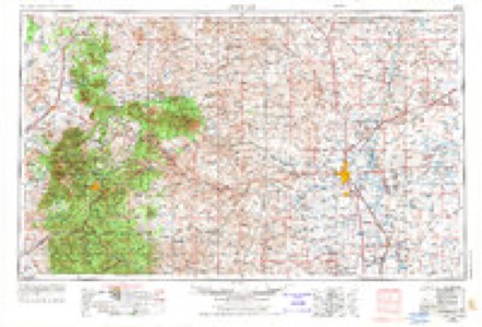
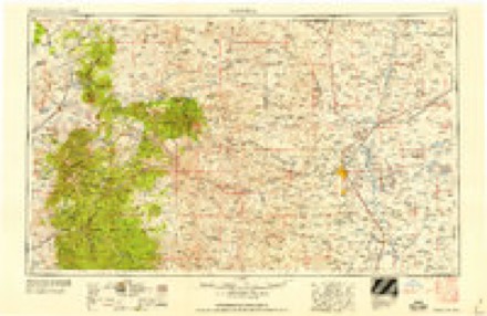
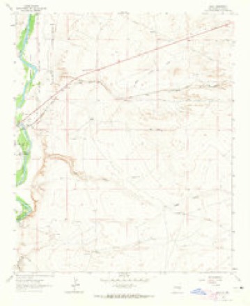
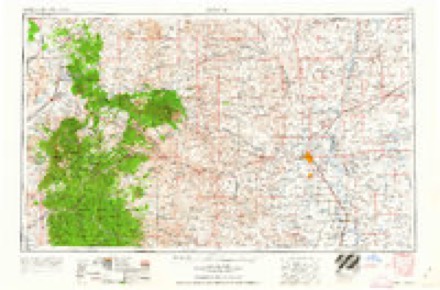
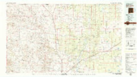
8 topographic sheets cover this place, the earliest surveyed in 1955 and the latest in 1979. It stands in the Northeast Chaves census division. It lies in ZIP code area 88201. The Survey maps it on the Acme quadrangle.
Topographic sheets covering this place
5 surveys from 8 printed sheetsMatched by testing this settlement's coordinate against the published boundary of every sheet in the United States Geological Survey's historical collection. Each opens the scanned sheet at the Survey.
- 1955 USGS Roswell quadrangle1:250000, 3 printings
- 1958 USGS Roswell quadrangle1:250000
- 1962 USGS Acme quadrangle1:24000, 2 printings
- 1962 USGS Roswell quadrangle1:250000
- 1979 USGS Salt Creek quadrangle1:100000
Fires near this place
75 since 1992Regional context, not property-specific evidence. The federal wildfire occurrence database lists 75 fires within 5 miles of Acme between 1992 and 2020, burning about 6,738 acres in total. 15 started naturally. 1 was recorded as arson. Distance is straight-line from the map coordinates, so a fire counted here may appear on a neighbouring settlement's page as well.
| Reported cause | Fires |
|---|---|
| Missing data/not specified/undetermined | 30 |
| Natural | 15 |
| Railroad operations and maintenance | 15 |
| Equipment and vehicle use | 8 |
| Recreation and ceremony | 3 |
| Debris and open burning | 2 |
| Fireworks | 1 |
| Arson/incendiarism | 1 |
The most recent of them, most recent first, with the day each was reported and the service that recorded it.
| Date | Cause | Size | Reported by | Name on the report |
|---|---|---|---|---|
| 3 September 2019 | Equipment and vehicle use | under an acre | Capitan District | 20-50640229N |
| 26 September 2009 | Missing data/not specified/undetermined | 15 acres | Bitter Lake National Wildlife Refuge | EAST RIVER |
| 12 September 2000 | Arson/incendiarism | 1.0 acres | New Mexico State Forestry Division | CIRCLE |
| 3 August 2016 | Natural | under an acre | Bitter Lake National Wildlife Refuge | RIVER |
| 25 August 1994 | Missing data/not specified/undetermined | 20 acres | New Mexico State Forestry Division | ACME |
| 17 August 1997 | Debris and open burning | under an acre | Bitter Lake National Wildlife Refuge | TRASHY |
| 11 August 1995 | Missing data/not specified/undetermined | 4.0 acres | New Mexico State Forestry Division | SCHOOL |
| 6 July 2020 | Recreation and ceremony | under an acre | Bitter Lake National Wildlife Refuge | NORTH PECOS |
Settlements close enough to share some of these fires:
Mines and quarries near this place
10 of 17 shownRegional context, not property-specific evidence. The federal mineral resources record lists 17 workings within 5 miles of Acme: 15 unknowns, 2 producers. 2 still produce. What was taken out: Sand and Gravel, Construction, Limestone, General. Distance is straight-line from the map coordinates, so a quarry counted here may appear on a neighbouring settlement's page as well.
| Where | Site | Commodity | Status | Recorded |
|---|---|---|---|---|
| Hurford Pit | Limestone, General | Unknown | ||
| Beavers Pit | Sand and Gravel, Construction | Producer | ||
| Jesse E.Hite Pit | Sand and Gravel, Construction | Producer | ||
| Mc Carty Pit | Sand and Gravel, Construction | Unknown | ||
| Sand Pit | Sand and Gravel, Construction | Unknown | ||
| Sand Pit | Sand and Gravel, Construction | Unknown | ||
| Sand Pit | Sand and Gravel, Construction | Unknown | ||
| Sand Pit | Sand and Gravel, Construction | Unknown | ||
| Sand Pit | Sand and Gravel, Construction | Unknown | ||
| Sand Pit | Sand and Gravel, Construction | Unknown |
Storms near this place
17 since 2010Regional context, not property-specific evidence. The National Weather Service names Acme in 17 storm reports between 2010 and 2025: 6 hail, 4 thunderstorm wind, 3 tornado, 3 flash flood. No death or injury is recorded in these reports. Each account below is quoted exactly as the forecast office filed it, from the NOAA Storm Events Database, and each date opens the federal record of that event.
| When | Event | Place named | Harm | What the report says |
|---|---|---|---|---|
| October 2024 | Flash Flood | Acme | $500,000 | U.S. Highway 285 washed out at mile marker 137 and mile marker 151 due to heavy rainfall from thunderstorms. Additionally, NMDOT closed U.S. Highway 285 from mile marker 135 to 138 due to flash flooding. Flash flooding resulted in vehicles being stuck in several inches of water and multiple areas of the highway becoming impassable. An accident also occurred on the highway about 14 miles north of Roswell due to hydroplaning. |
| August 2010 | Flash Flood | Acme | $75,000 | Numerous road were closed or impassible in and near Roswell due to the heavy rains and flooding. This includes Poe Street west from Southeast Main as well as Brown Road from Country Club to Pine Lodge. Cars were also reported to have been floating down Highway 285 north of Roswell. Two feet of water ran over the highway between mile markers 136 and 138, leading the road to be closed. A couple of cars ended up in the ditch, with water up to their windshields. Also along Pine Lodge Road near mile marker 59, three to four feet of water ran over the road where it crossed Salt Creek. Cricket Creek as well as Spring and Hondo Rivers were running bank full. Unofficial rainfall reports include near 5 inches near Berrendo Road and North Main, 3.5 inches near the Roswell High School on West Church Street, and 3.0 inches at the 2600 block of South Sunset. Hundreds of homes were without power. |
| April 2025 | Tornado (EFU) | Acme | - | Several storm chasers on U.S. Highway 70 and dirt roads around Acme observed up to 3 brief tornado touchdowns. Start and end time and path of tornado is estimated based on storm chaser reports. |
| April 2025 | Hail | Acme | - | A storm chaser along U.S Highway 70 just southwest of Acme observed tennis ball size hail from a tornadic producing supercell. |
| October 2024 | Flood | Acme | - | A forecasted rise in the Pecos River at the ACME gauge just north of U.S. Highway 70 was to 13.2 feet, or to minor flood stage. The rise in the river ended up washing out the river gauge allowing for only an estimated gauge measurement. These floodwaters continued south along the Pecos River and were recorded at the Lake Arthur gauge. |
| September 2023 | Thunderstorm Wind | Acme | - | Eight Mile Draw station. |
| June 2020 | Thunderstorm Wind | Acme | - | A CoCoRaHS observer over rural Chaves County reported a peak wind gust up to 60 mph. |
| May 2017 | Hail | Acme | - | Hail up to the size of half dollars northeast of Roswell. |
| May 2017 | Hail | Acme | - | Hail up to two inches in diameter along U.S. Highway 70. |
| June 2014 | Tornado (EF0) | Acme | - | Chaser reported tornado on the ground for 10 minutes. No damage was reported. |
| September 2014 | Flash Flood | Acme | - | Water was reported running over Highway 285 at mile marker 137 north of Roswell. The road was closed due to high water and cleared for travel 5 hours later. |
| May 2013 | Thunderstorm Wind | Acme | - | Combination of possible virga and outflow from severe thunderstorm farther south of the area at Eight Mile Draw RAWS. |
| June 2013 | Thunderstorm Wind | Acme | - | Eight Mile Draw RAWS recorded this gust in Chaves County. |
| May 2010 | Hail | Acme | - | Hail fell near Highways 380 and 409. |
| October 2010 | Tornado (EF0) | Acme | - | SKYWARN spotters and emergency management officials noted a second tornado while looking north from Highway 246. This tornado began just west of Highway 285 and north of Verbena Road. Peak winds were estimated around 65 mph. No significant damage or injuries were reported. |
| May 2023 | Hail | Acme | - | no account filed |
| October 2015 | Hail | Acme | - | no account filed |
Nearest settlements
The eight closest, with where each one stands in the county. Distances are straight-line, computed from the Geographic Names Information System coordinates.
| Map | Place | Distance | Sheets |
|---|---|---|---|
| Frazier (historical) | 0.4 miles | 8 | |
| Melena | 5.0 miles | 8 | |
| Campbell | 7.1 miles | 8 | |
| McDermott Wells | 14.1 miles | 8 | |
| Berrendo (historical) | 14.1 miles | 10 | |
| Elkins | 16.1 miles | 8 | |
| Roswell | 17.1 miles | 10 | |
| Fairbanks | 18.5 miles | 9 |
Provenance
This settlement is recorded in the Geographic Names Information System as feature 898616. The sheet list is computed by point-in-boundary test against the United States Geological Survey's historical topographic inventory. Both are works of the United States government and carry no copyright under 17 U.S.C. 105.
Wildfire. Short, Karen C. 2022. Spatial wildfire occurrence data for the United States, 1992-2020 [FPA_FOD_20221014]. 6th Edition. Fort Collins, CO: Forest Service Research Data Archive. https://doi.org/10.2737/RDS-2013-0009.6 Collected with United States Government funding and usable without additional permissions or fees.
Mines and quarries. USGS Mineral Resources Data System (MRDS) https://mrdata.usgs.gov/mrds/ A work of the United States government, no copyright under 17 U.S.C. 105.
Storms. NOAA National Centers for Environmental Information, Storm Events Database https://www.ncei.noaa.gov/stormevents/ A work of the United States government, no copyright under 17 U.S.C. 105. Narratives are quoted verbatim from the National Weather Service report and are not edited or summarised.