Block
From the record
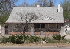
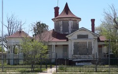
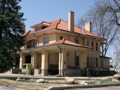
22 National Register listings published here.
Sources: the National Register database, National Park Service
70 topographic sheets and 15 fire insurance atlases across 4 places.
22 National Register listings published here.
Sources: the National Register database, National Park Service
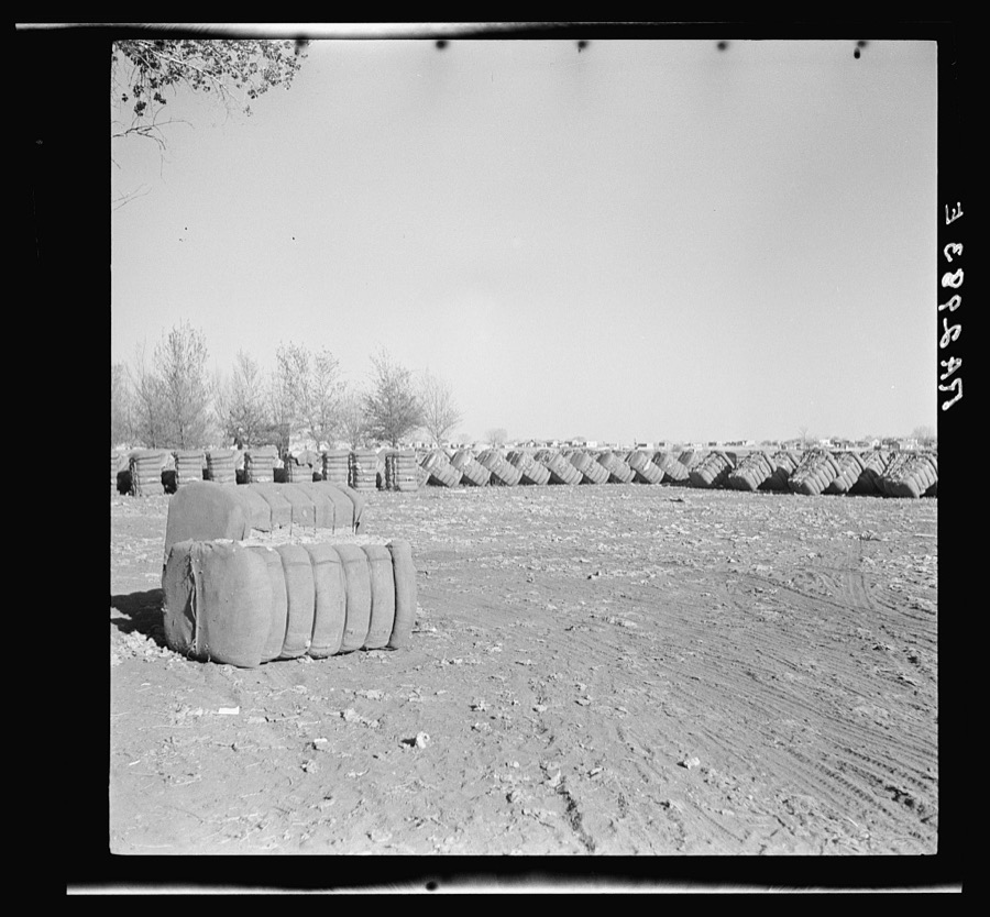
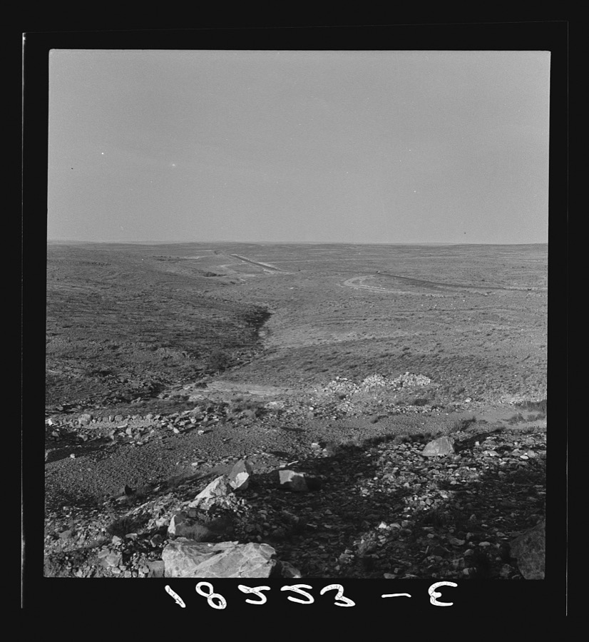
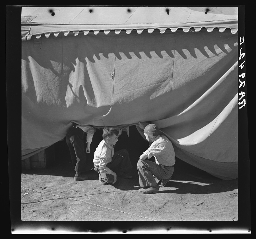
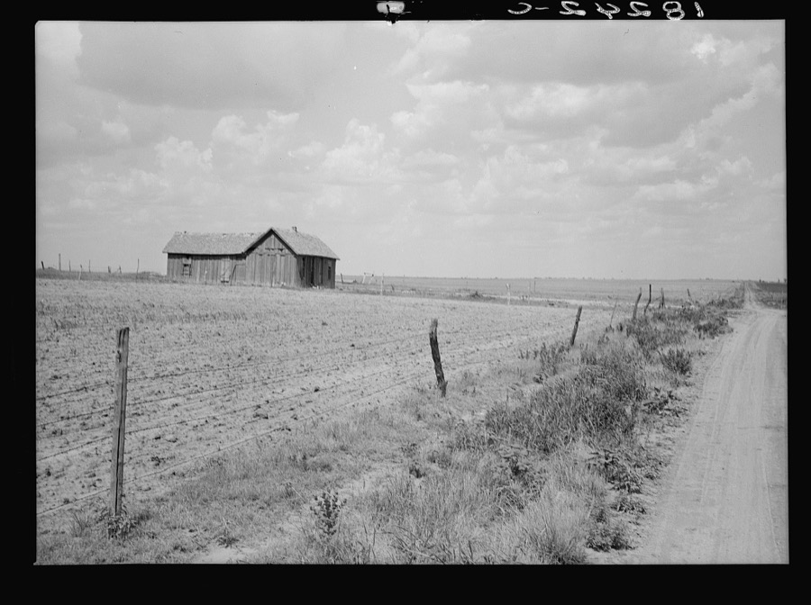
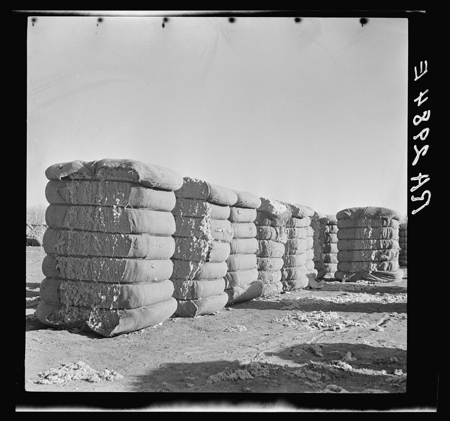
Taken for the Office of War Information and the Farm Security Administration, who photographed the country between 1935 and 1944. Works of United States government photographers, with no known restriction on use. Each opens its catalogue record.














Every property in this county listed on the National Register of Historic Places, with the year it was listed and the federal nomination document.
Sampled issues, machine-read from the Library of Congress scan and published page by page, so every headline and column is searchable text.
Roswell, N.M., 1903 to Current. Machine-read from the Library of Congress scan.
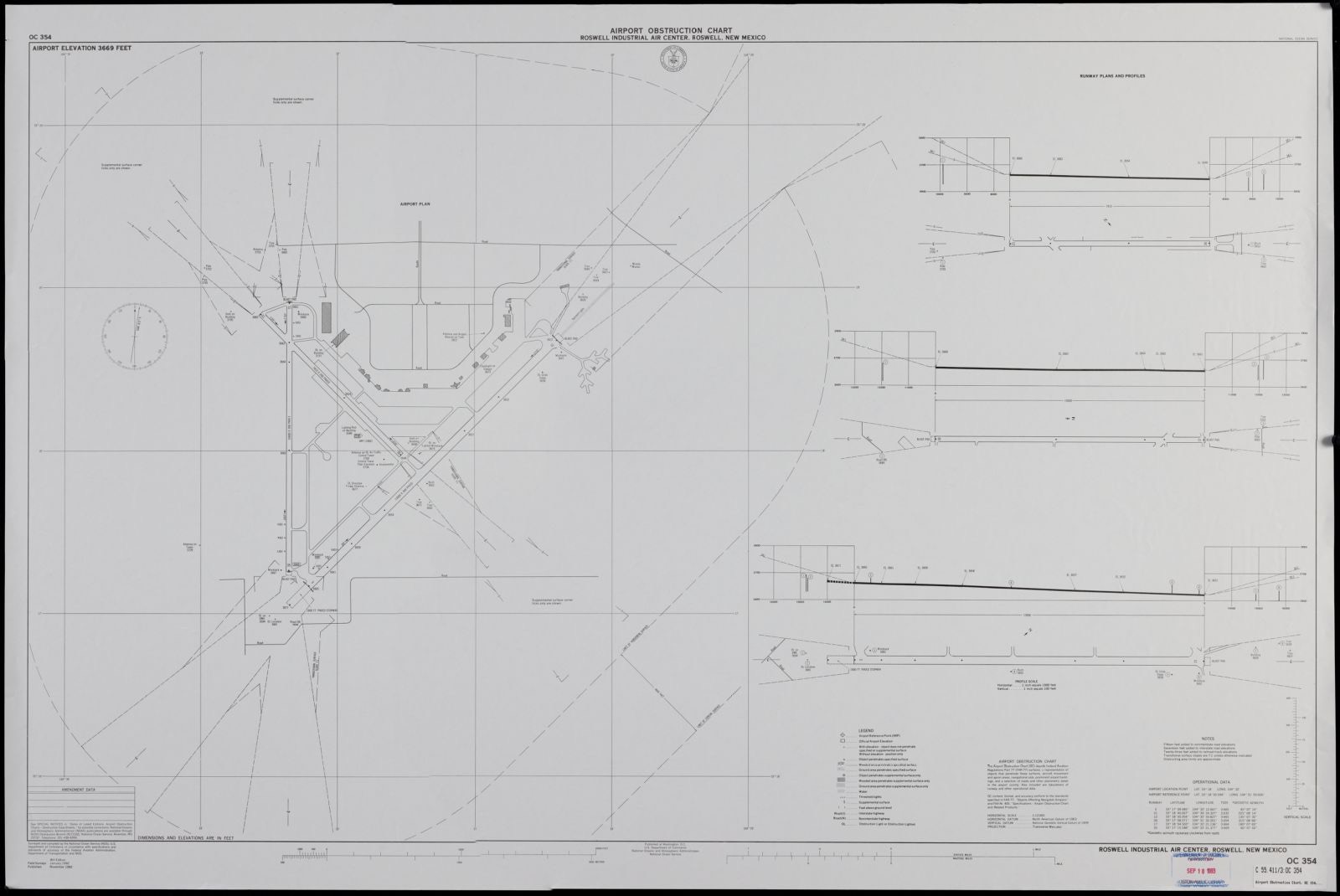
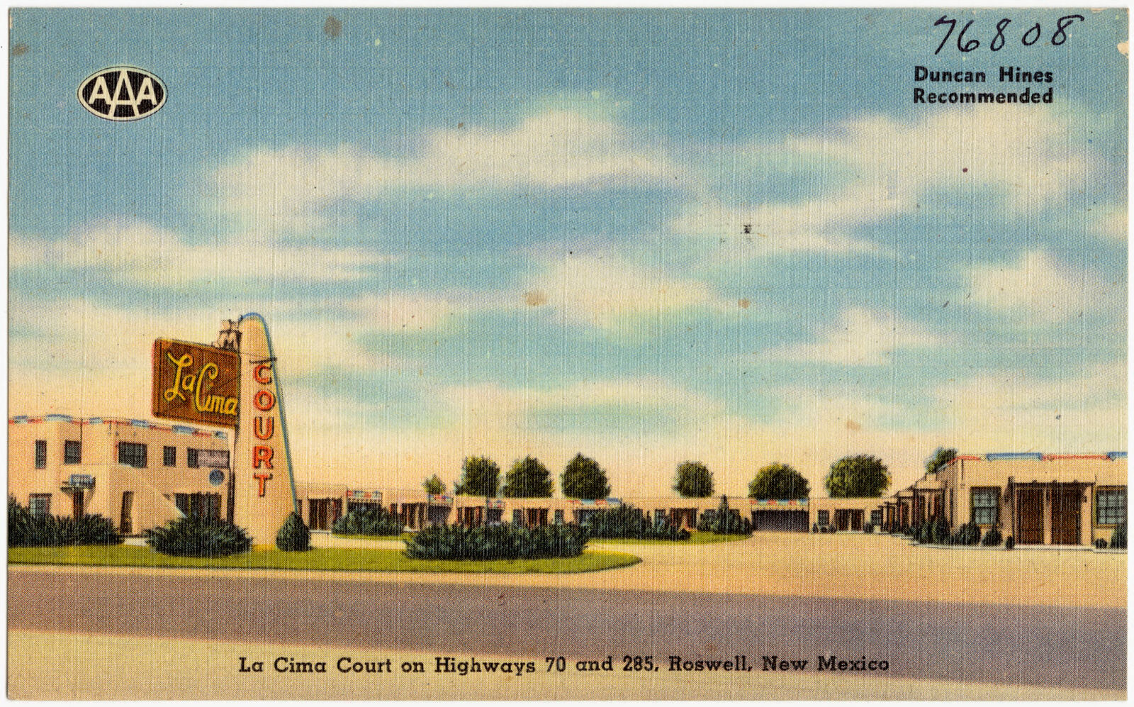
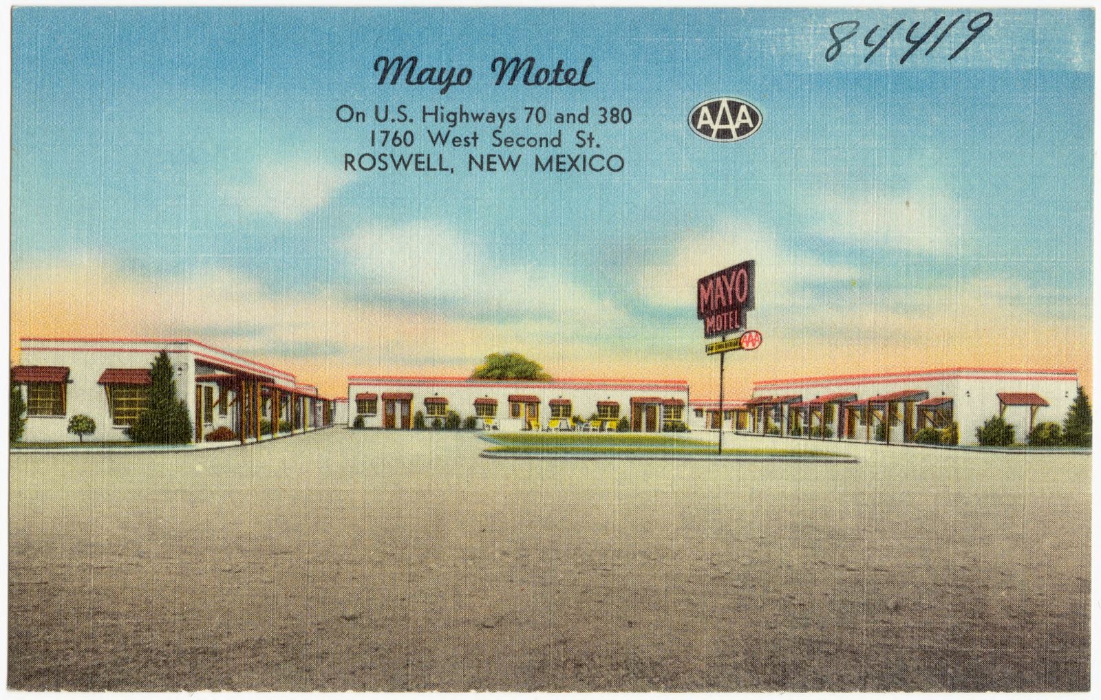
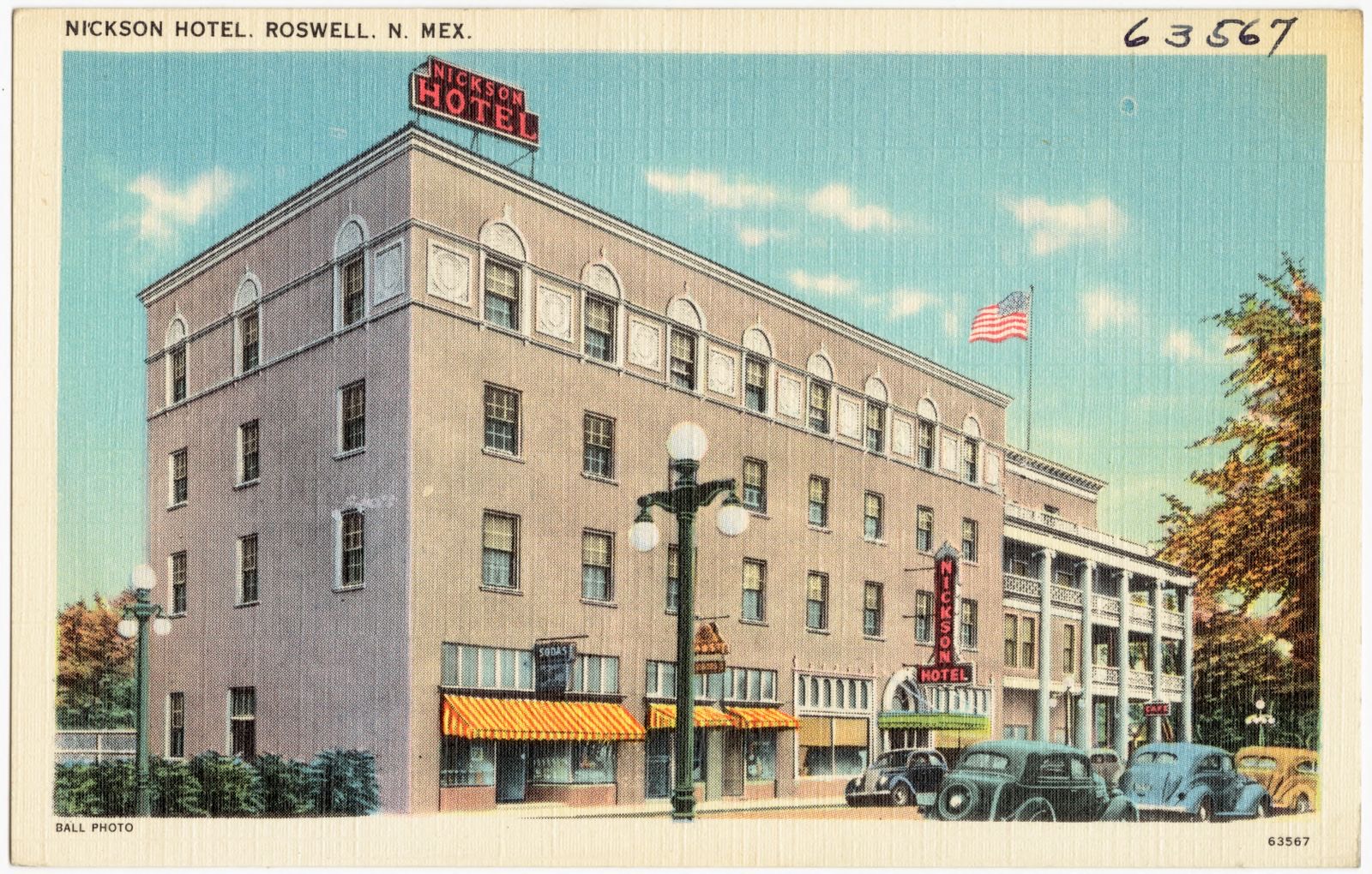
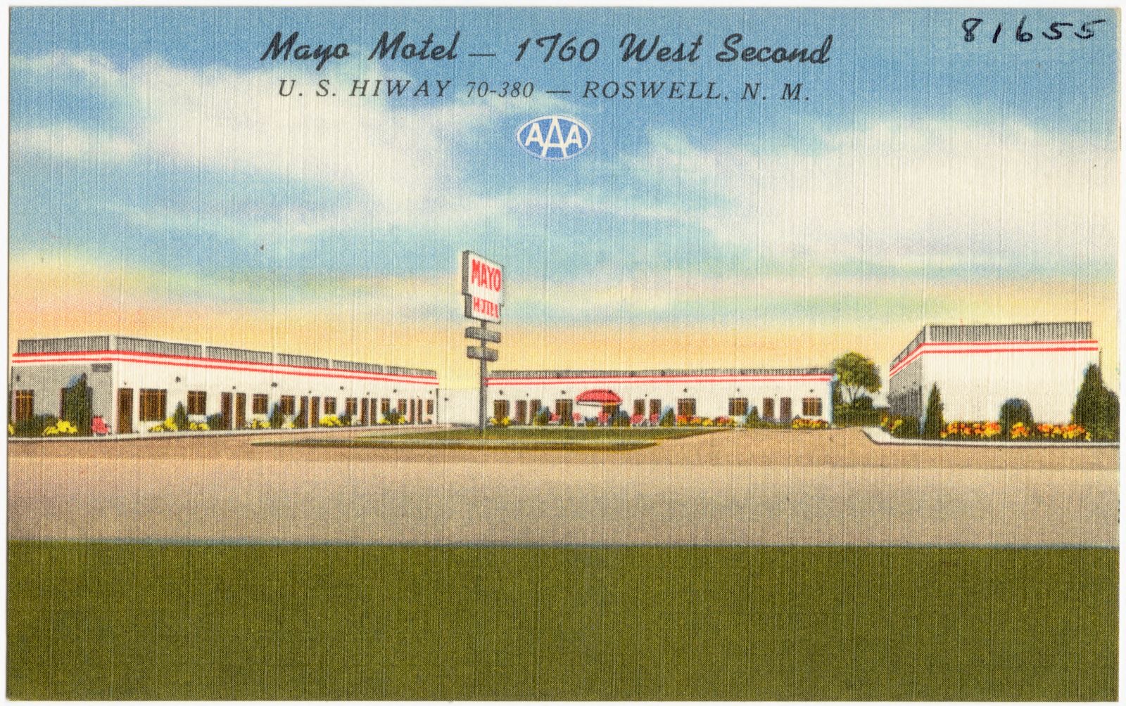
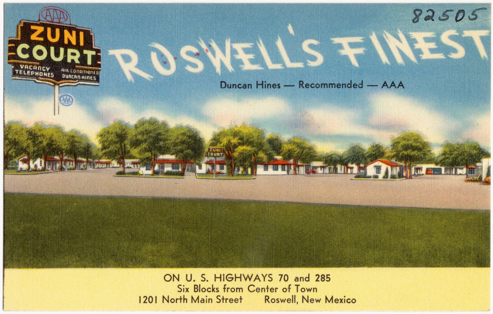
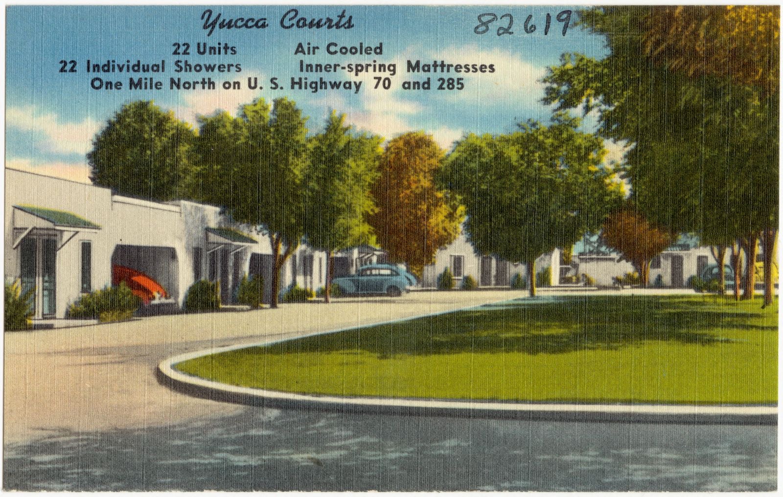
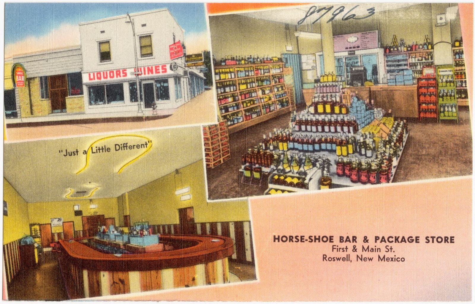
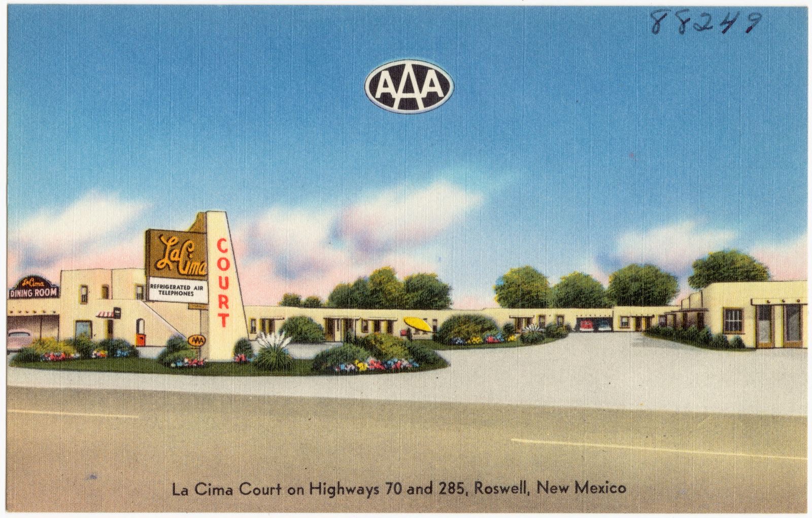
Selected from the Digital Public Library of America's 20 image records catalogued for this county. Every one shown here carries a public-domain status or a licence that permits reuse on a site that carries advertising; non-commercial, share-alike and restricted images are excluded. The selection is spread across the county's towns (at most eight per town), so no single institution's bulk upload crowds out the rest. Each opens the holding library's record, and the complete set at the Digital Public Library of America is one click away.

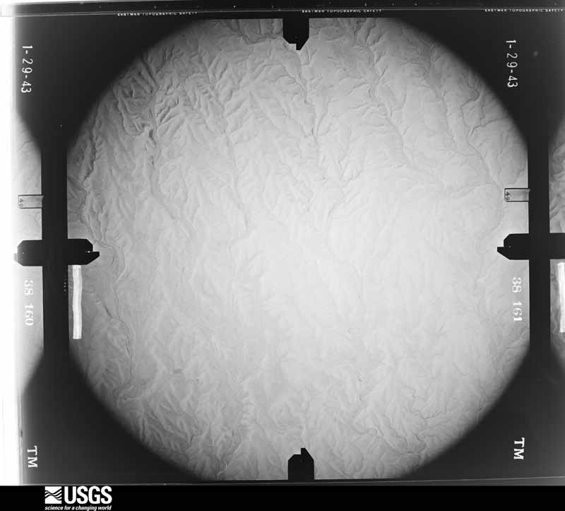
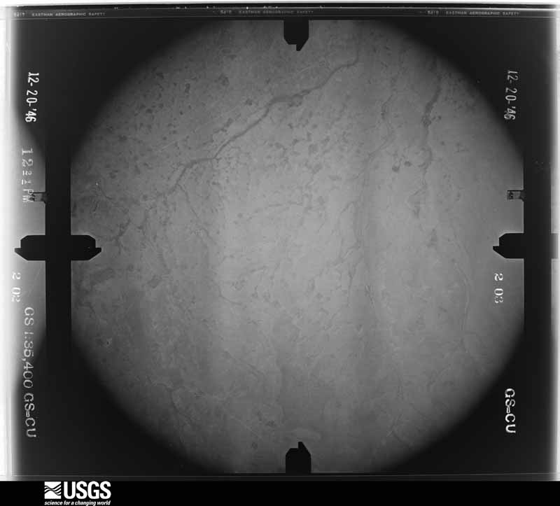
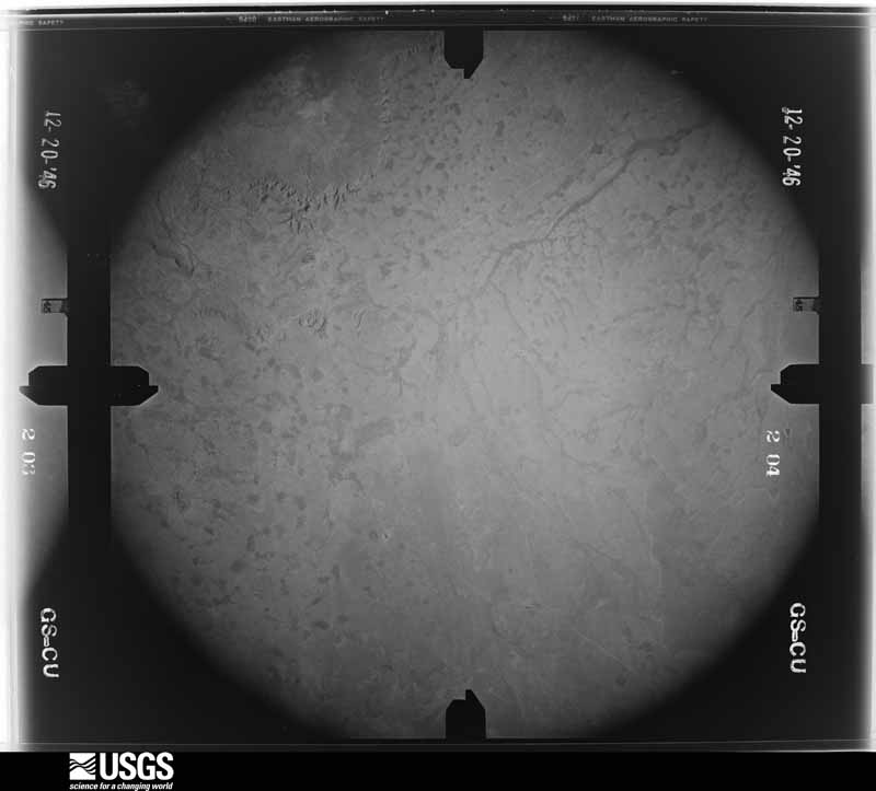
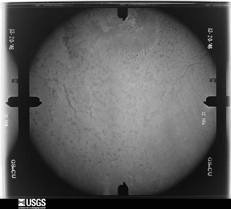
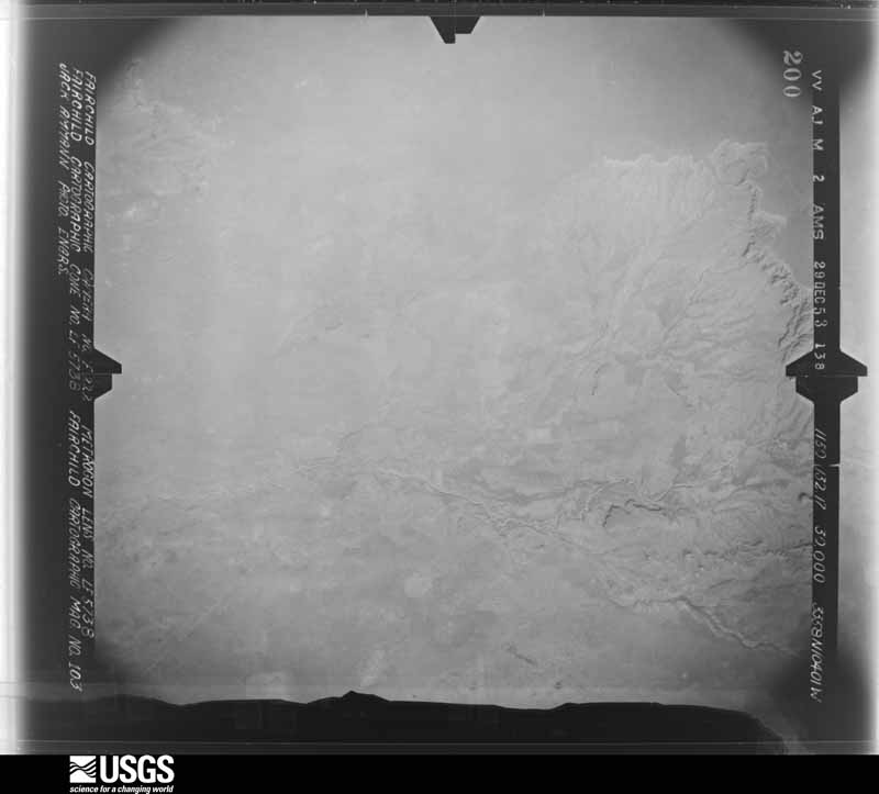
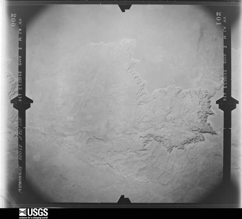
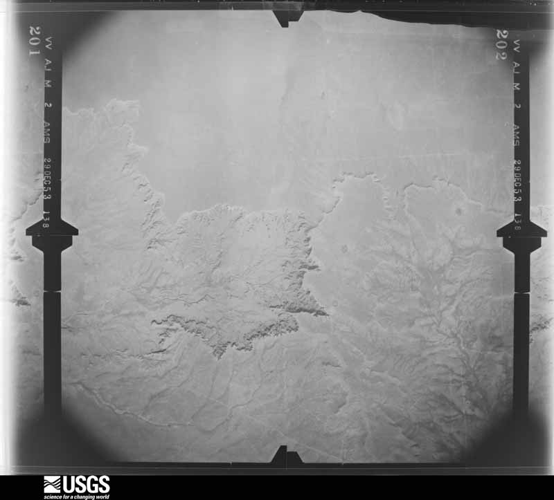
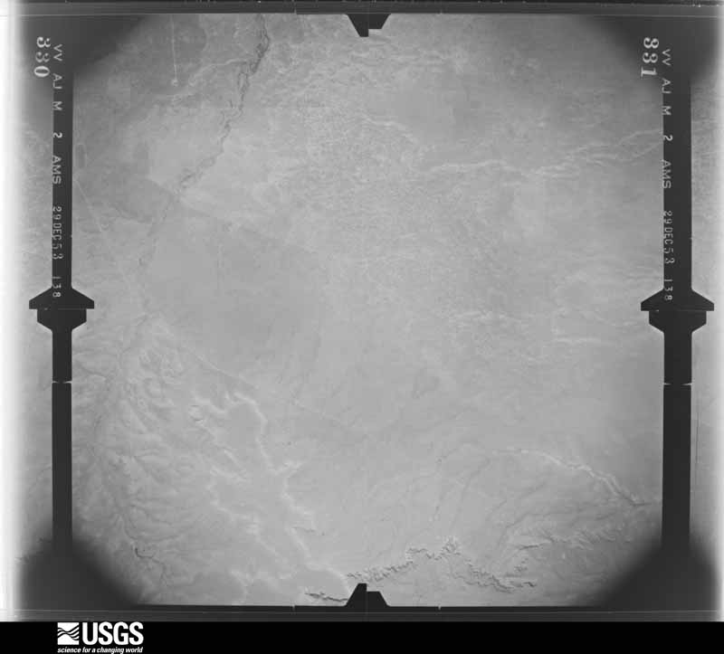
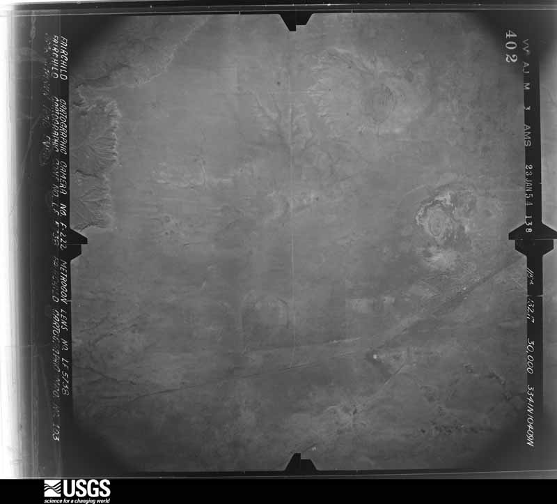
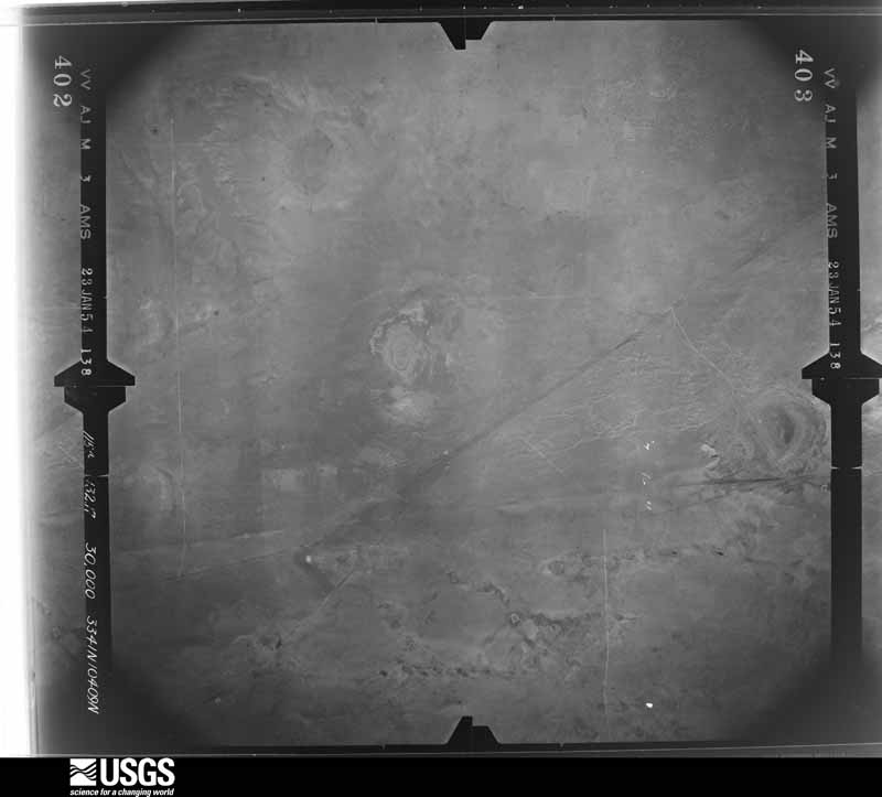
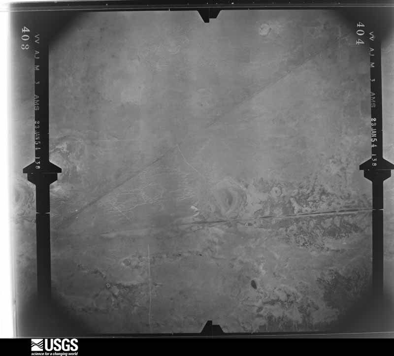
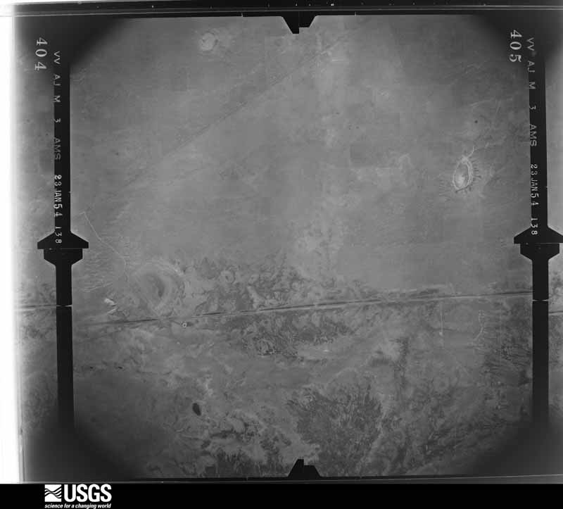
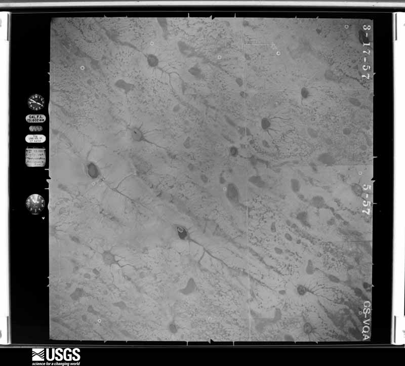
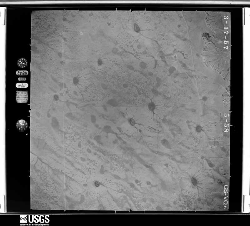
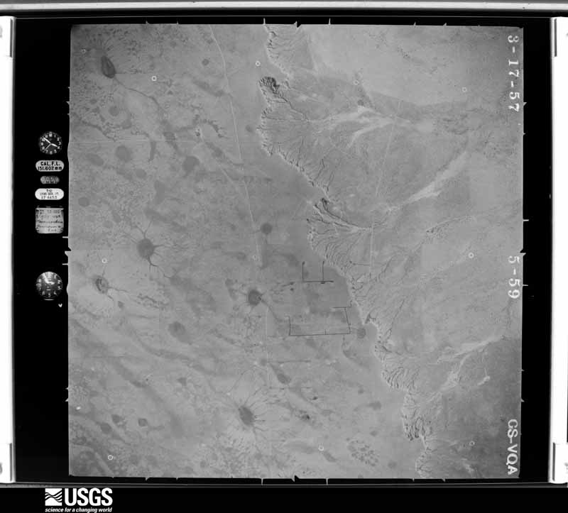
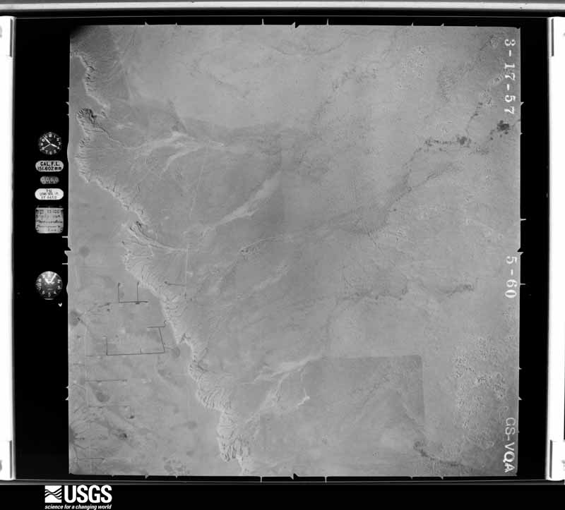
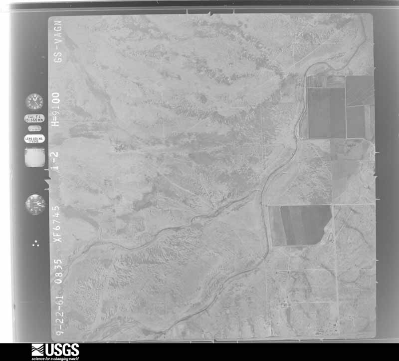
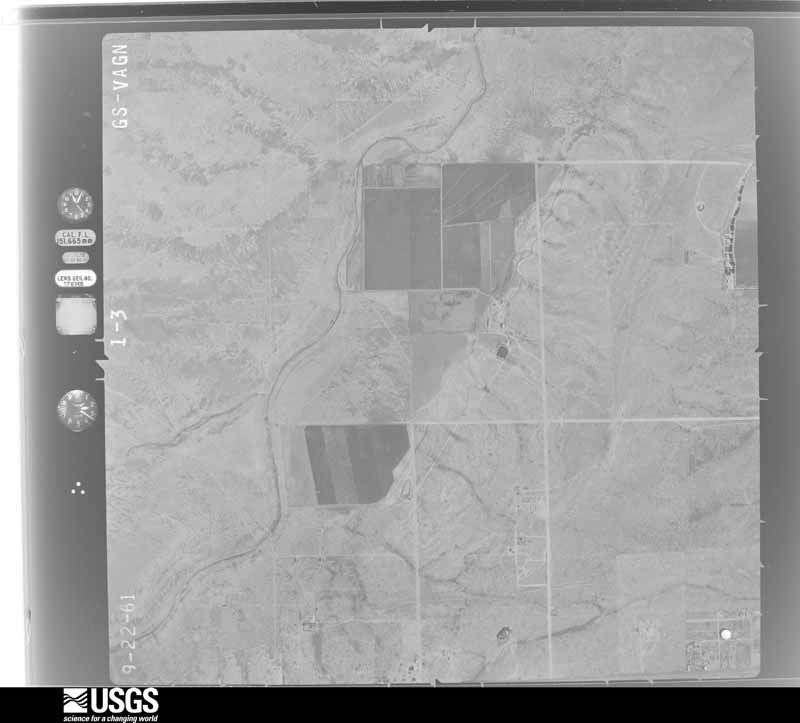
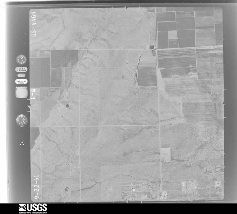
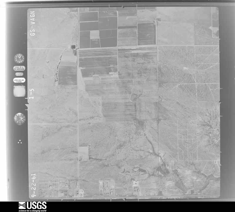
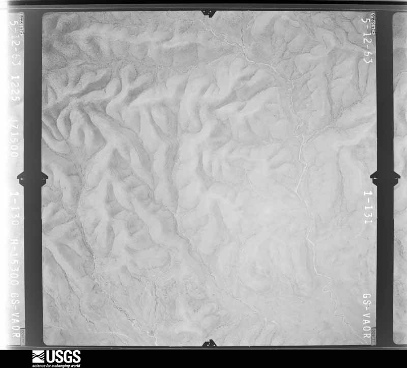
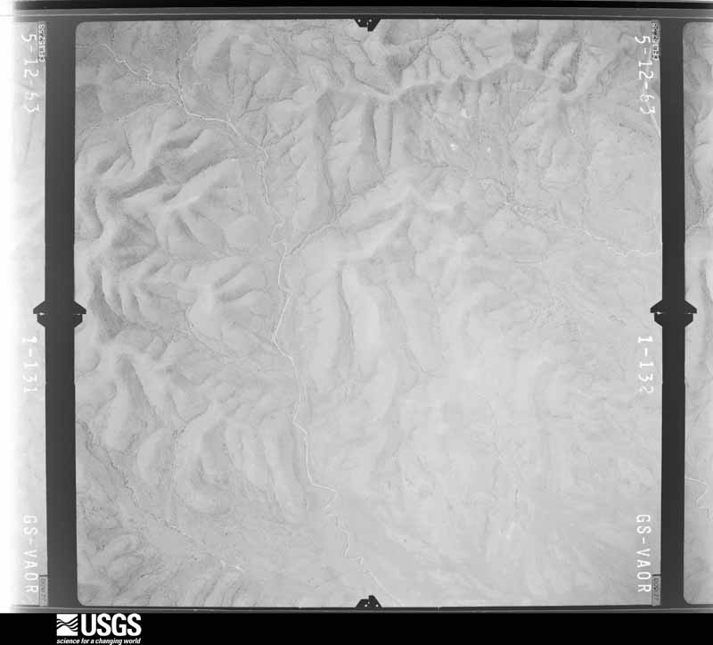
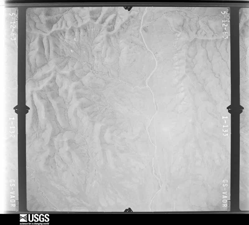
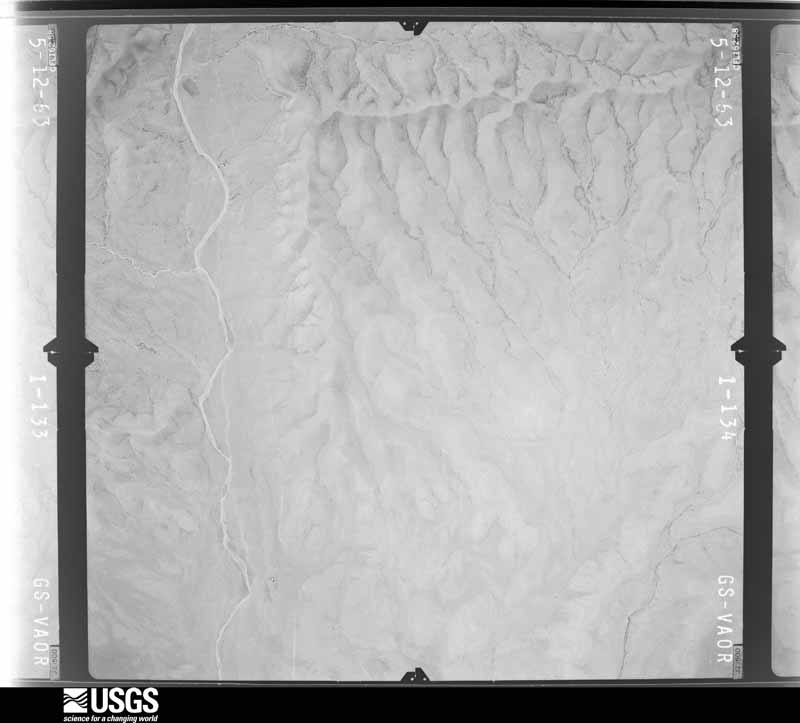
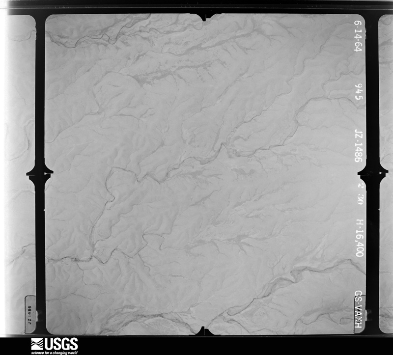
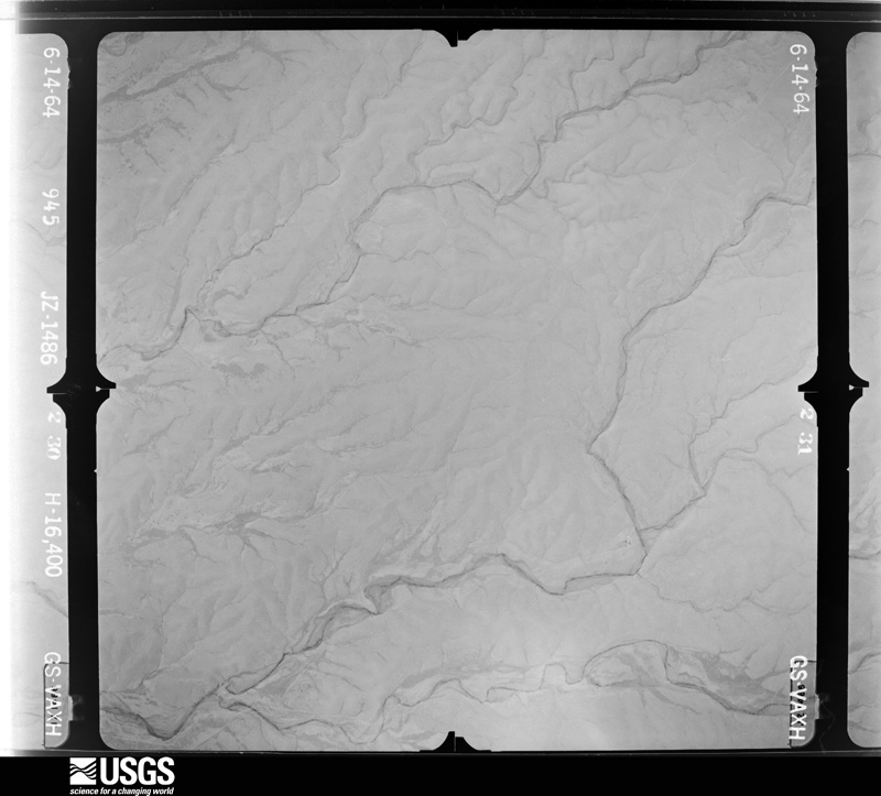
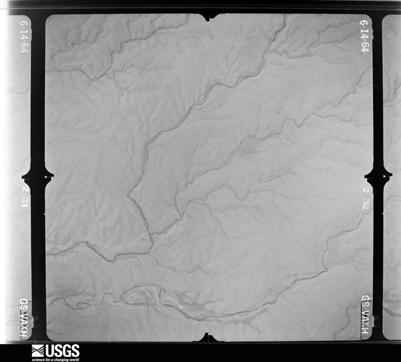
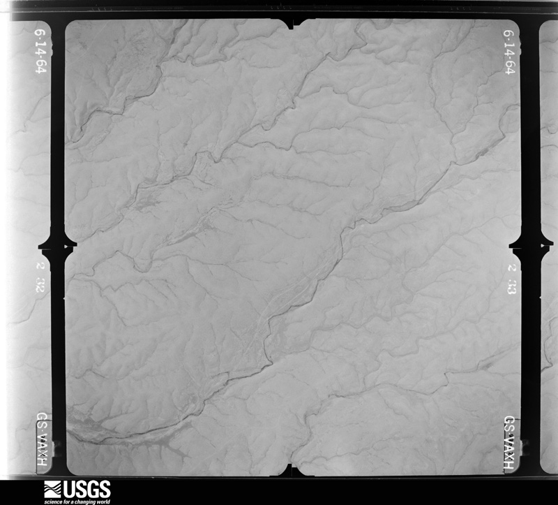
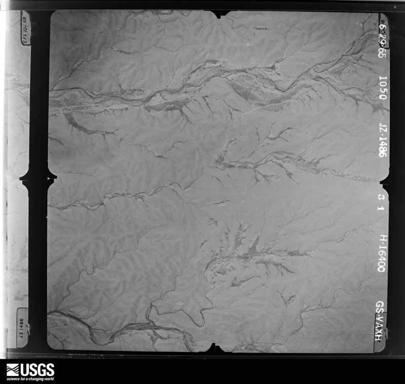
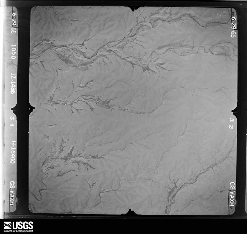
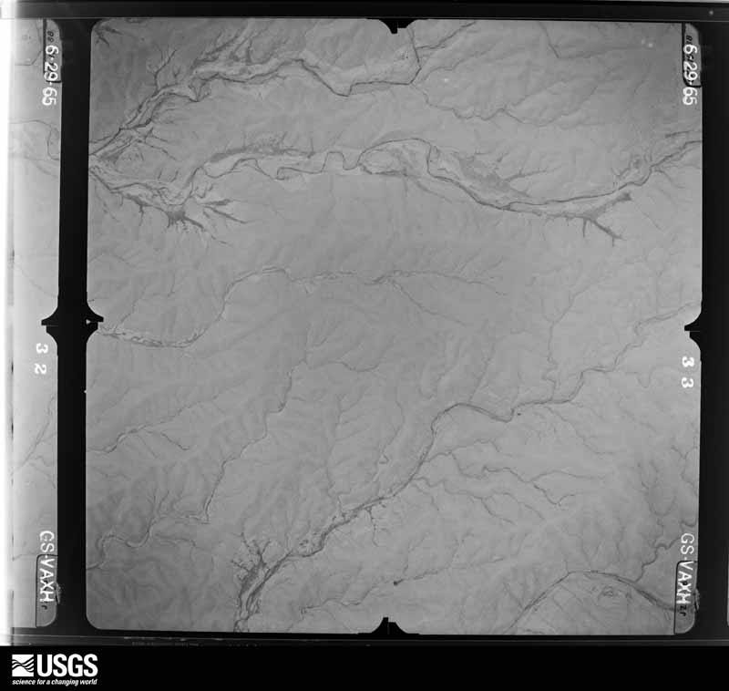
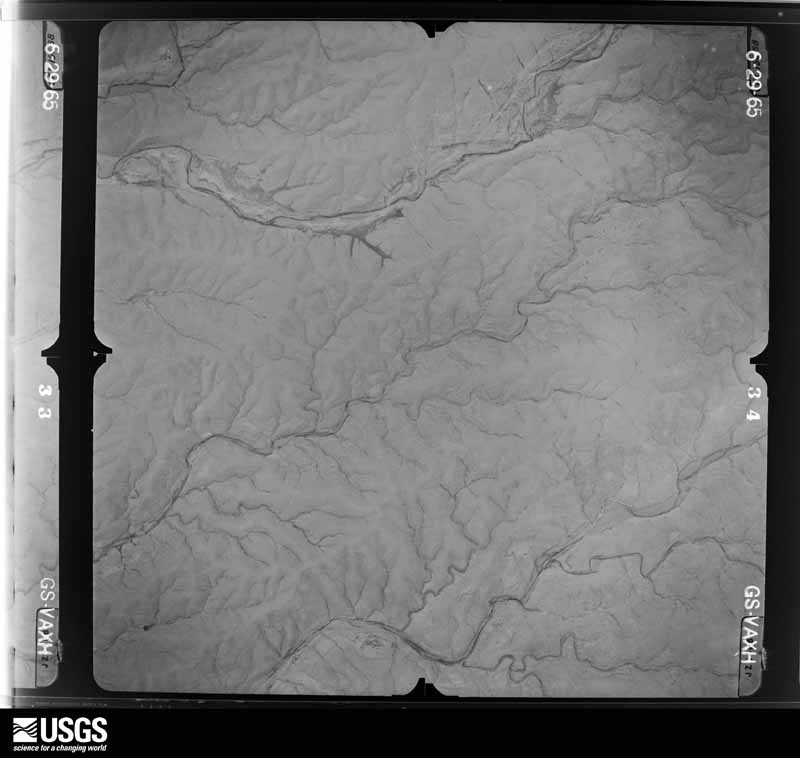
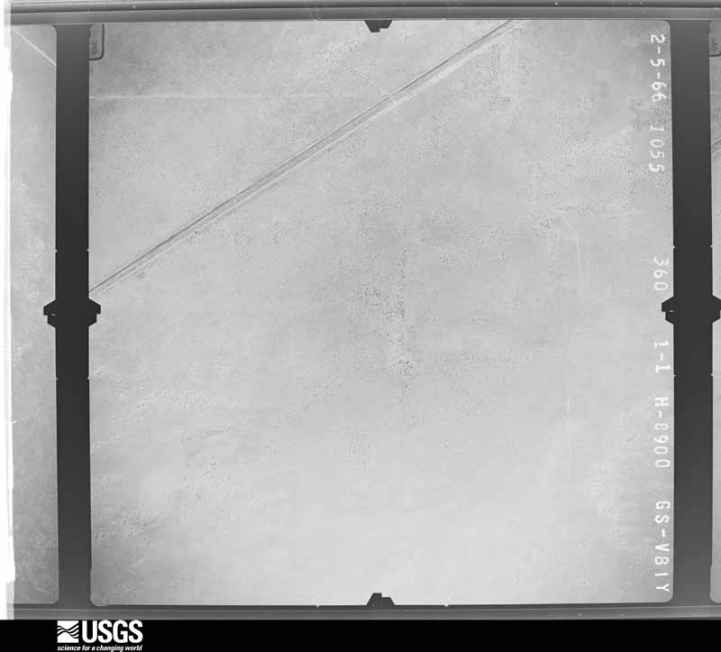
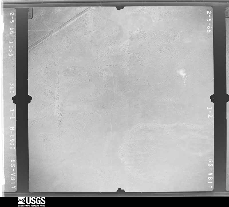
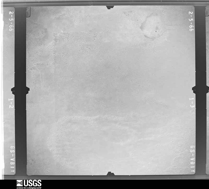
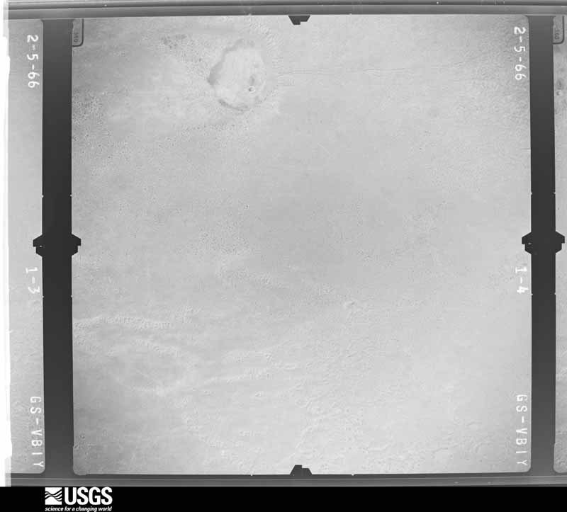
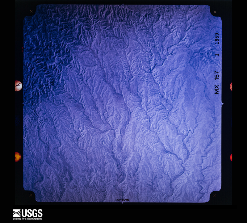
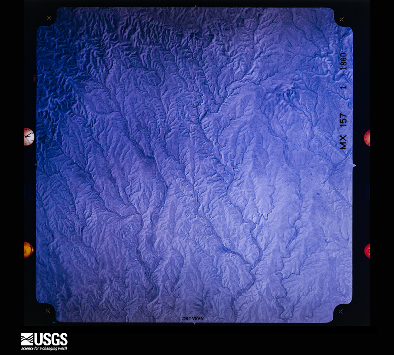
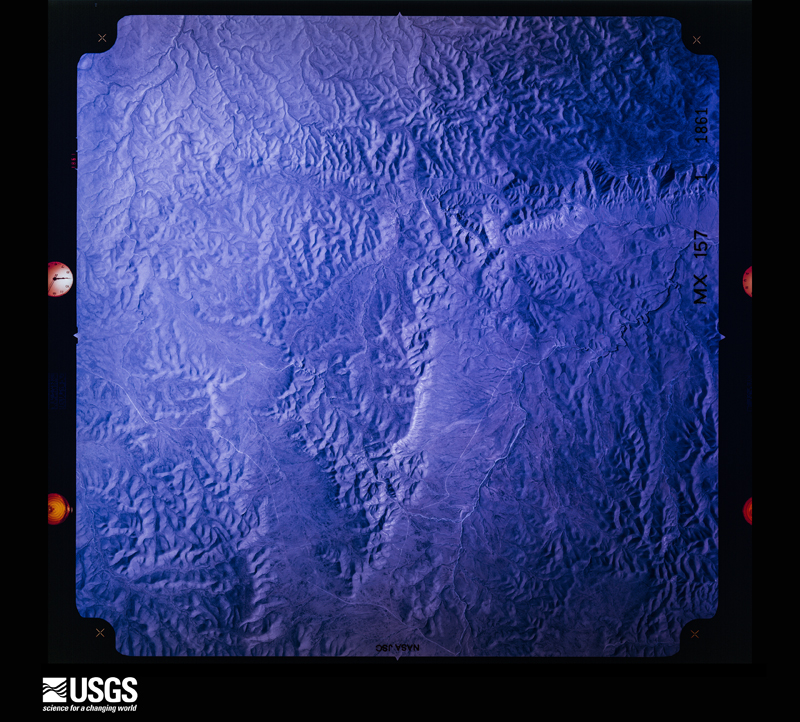
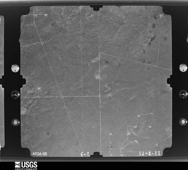
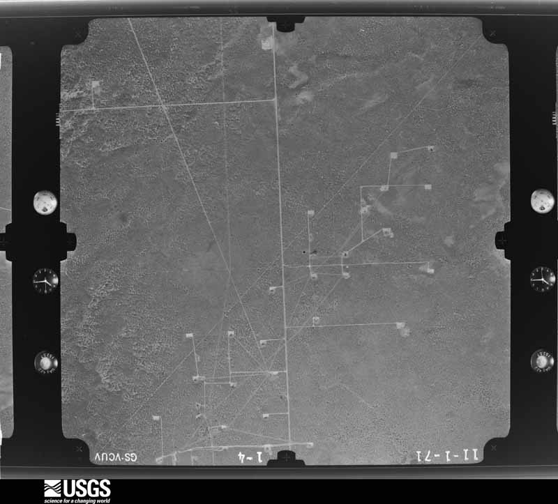
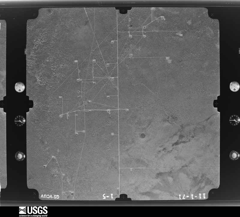
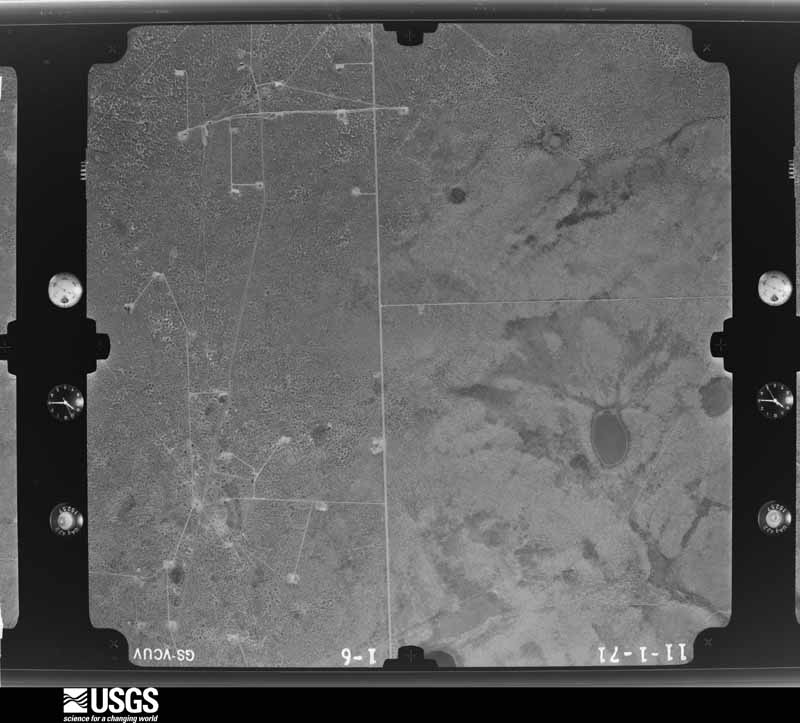
Flown by the U.S. Geological Survey between 1937 and 1989, the Aerial Photo Single Frames collection is the definitive mid-century view of the land: fields, roads and rivers as the camera saw them. The Survey holds 13,795 frames inside the rectangle that bounds this county; the 48 frames below were taken over the county itself, chosen across the decades of flights (at most four a year from that rectangle), so one flight cannot crowd out the rest. The full set is free to browse and download at EarthExplorer under the dataset Aerial Photo Single Frames.
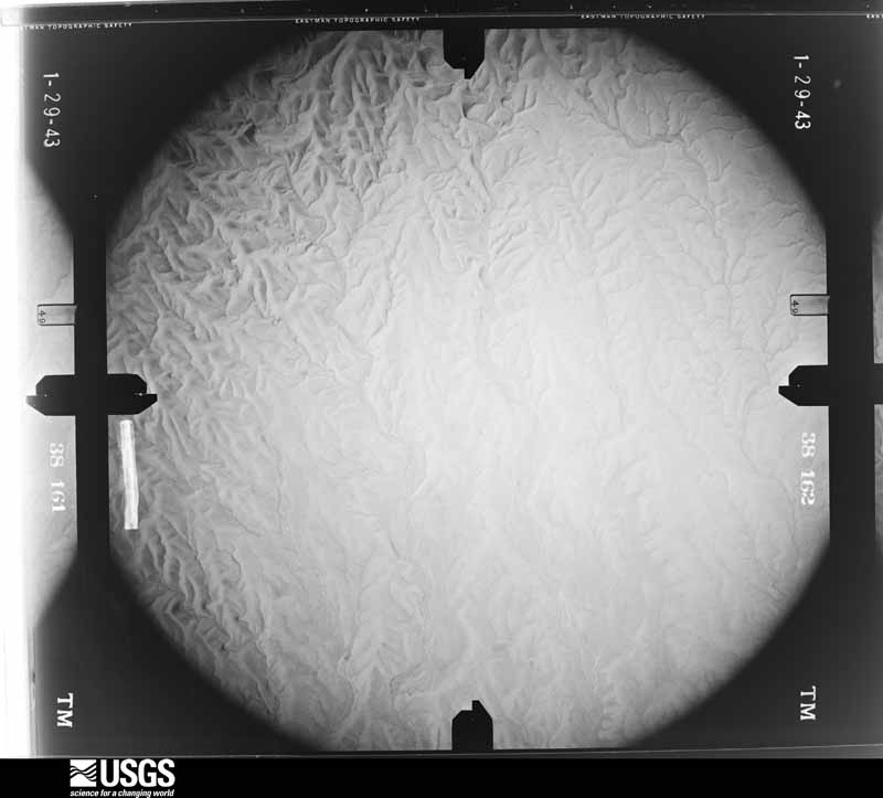
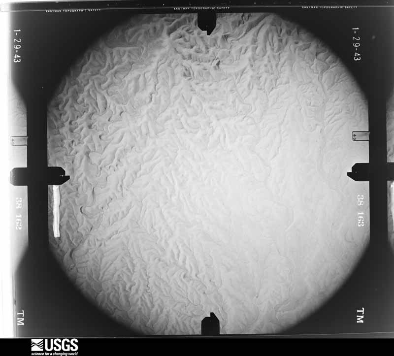
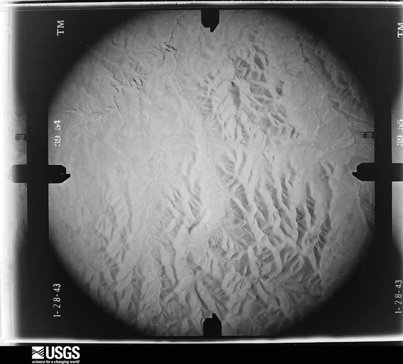
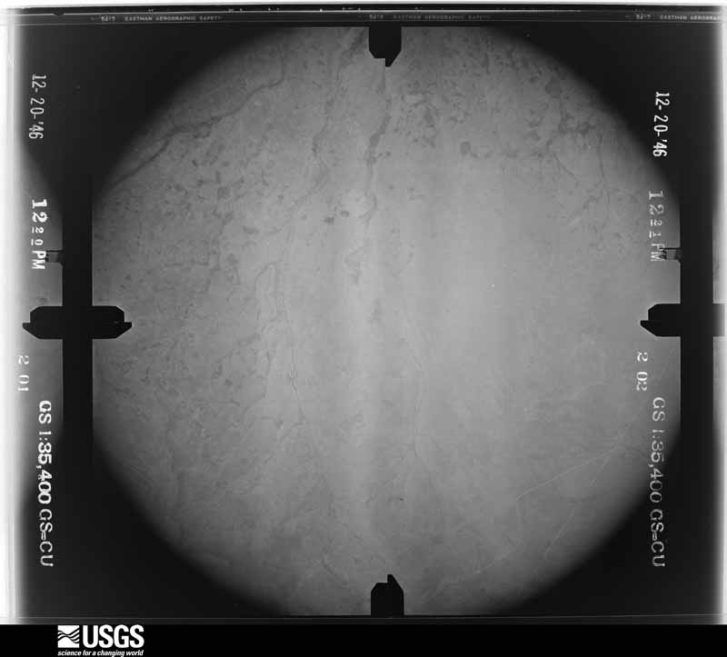

The thermometers that kept this county's weather, and the gages that measured the flow of its streams, as the federal records hold them. The extremes below are measured values from those records, not estimates.
Who lived here in 1950, one enumeration district at a time, as the Census Bureau described each district. Each row opens its official National Archives result, with Population Schedules and ED Maps available there.
Every wildfire the federal occurrence database records inside this county: 1,348 of them, burning about 335,735 acres. 314 started naturally and 28 were recorded as arson. Each settlement page carries the fires within five miles of it.
| Reported cause | Fires |
|---|---|
| Missing data/not specified/undetermined | 614 |
| Natural | 314 |
| Equipment and vehicle use | 166 |
| Debris and open burning | 106 |
| Smoking | 34 |
| Railroad operations and maintenance | 29 |
| Arson/incendiarism | 28 |
| Power generation/transmission/distribution | 26 |
| Fireworks | 11 |
| Recreation and ceremony | 8 |
| Misuse of fire by a minor | 5 |
| Other causes | 4 |
| Firearms and explosives use | 3 |
The five largest, by the area the report gives. None of them was recorded as arson.
| Date | Cause | Size | Reported by | Name on the report |
|---|---|---|---|---|
| 27 February 2011 | Missing data/not specified/undetermined | 64,936 acres | Roswell Field Office | ENTERPRISE |
| 10 June 2009 | Natural | 55,080 acres | Roswell Field Office | CATO |
| 23 April 2009 | Natural | 29,952 acres | Carlsbad Field Office | FOUR MILE |
| 6 May 2011 | Natural | 18,199 acres | Roswell Field Office | CROOKEDCREEK COMPLEX |
| 4 March 2009 | Equipment and vehicle use | 16,141 acres | New Mexico State Forestry Division | PICACHO |
| 3 January 1997 | Missing data/not specified/undetermined | 10,240 acres | New Mexico State Forestry Division | CAPROCK |
| 2 August 2011 | Natural | 9,428 acres | Roswell Field Office | LINCOLNCANYON COMPLX |
| 18 August 2011 | Natural | 7,017 acres | Roswell Field Office | CROOKED COMPLEX |
Every settlement page carries the fires within five miles of it - see the settlement index below.
The NOAA Storm Events Database holds 581 reports for this county, causing 6 deaths, 16 injuries and about $521,359,250 in recorded property damage. Each settlement page carries the reports that name it.
| Kind of event | Reports |
|---|---|
| Hail | 289 |
| Thunderstorm Wind | 146 |
| Flash Flood | 60 |
| Tornado | 53 |
| Flood | 17 |
| Funnel Cloud | 12 |
| Heavy Rain | 2 |
| Lightning | 2 |
The most serious of them, by death, then injury, then recorded damage. The accounts are quoted exactly as the forecast office filed them.
| When | Event | Place named | Harm | What the report says |
|---|---|---|---|---|
| July 1996 | Flash Flood | Lake Arthur | 4 killed | no account filed |
| October 2024 | Flash Flood | Roswell | 1 killed, $500,000,000 | Historically bad flash flooding across Roswell, reported by numerous emergency officials and the public. Thunderstorms training over Roswell dumped an all-time one-day rainfall record of 5.78 at the Roswell Airport with numerous other public weather stations across town ranging from 4 to 9 inches. Major flooding was reported across the city and nearby low-lying areas south and west of town. Numerous vehicles were submerged in over 4 feet of water while several more were swept away. The Roswell Daily Record reported that as many as 500 rescues were carried out over the weekend during and after the flooding. Estimates have as many as 400 homes and 200 businesses facing significant damage. The Roswell Convention Center was hosting a UFO festival when flood waters up to 5 feet entered the building. Attendees were being rescued from the rooftop. Roswell's Spring River Zoo also suffered extensive damage including the loss of one donkey. Flood damage was also sustained to Roswell's Landfill and Wastewater Treatment Plant. All roads entering the city were closed by State Police. The city lost 4 fire trucks and 7 police patrol cars with numerous city facilities damaged. There is one confirmed direct fatality from drowning and one indirect fatality from a heart attack reported and there may have been more as many vehicles were swept away along the Spring River drainage. |
| July 2011 | Thunderstorm Wind | Dexter | 1 killed, $15,000 | The roof of a barn collapsed and killed an elderly man. |
| March 2019 | Tornado (EF2) | Lake Arthur | 6 hurt, $2,000,000 | Just before 6 pm MDT on Tuesday, March 12, 2019, a tornado touched down in Chaves County, about 15 miles south southwest of Dexter. The tornado moved north northeast for approximately 15 minutes before dissipating about one half mile northeast of the community of Dexter. Six people suffered minor injuries, and six homes were substantially damaged or completely destroyed. An additional dozen homes and structures also sustained minor to moderate damage. This was the first March tornado documented in Chaves County since 1959, and the earliest known EF1 or stronger tornado in the state of New Mexico. The last EF2 tornado in New Mexico occurred on May 23, 2012. Damage amounts are a rough estimate. |
| June 1965 | Tornado (F1) | not stated | 3 hurt, $2,500 | no account filed |
| June 1961 | Tornado (F1) | not stated | 2 hurt, $25,000 | no account filed |
| May 1994 | Hail | not stated | 2 hurt | Two 12-old-boys suffered minor injuries when caught out in a hail storm at Roswell. Hail also damaged several car windshields. |
| August 1997 | Thunderstorm Wind | Roswell | 1 hurt, $750,000 | no account filed |
| August 2015 | Thunderstorm Wind | Lake Arthur | 1 hurt, $10,000 | Spotter reported overturned 18-wheeler along U.S. Highway 285 from severe thunderstorm winds. The driver was injured in the crash and transported to a local hospital. |
| June 2005 | Thunderstorm Wind | Roswell | 1 hurt | no account filed |
| October 2024 | Flash Flood | Hagerman | $10,000,000 | The NM Department of Transportation reported river flooding along the Rio Felix south of Roswell overtopping and damaging the U.S. Highway 285 bridge, and overtopping the NM State Highway 2 bridge just north of Hagerman closing both bridges. Flooding from heavy rains and poor drainage also extended over much of Dexter just north of Hagerman. Damage is an estimate. A Flood Warning was issued and repeatedly extended until local reports of the water receding came from local Emergency Management. |
| May 2021 | Flash Flood | (Row)Roswell Ind Airport | $1,000,000 | Multiple trained spotters reported flash flooding along U.S. Highway 285 near Midway with an estimated three to four feet of water over the roadway. Several people were stranded along the highway and were waiting on top of their vehicles to be rescued. Several water rescues had to be conducted at U.S. Highway 285 and Orchard Park Road. Multiple homes were inundated as well with flood waters, and one woman had to be rescued via a kayak. No injuries were reported. The extent of the damages is unknown, and damages are roughly estimated for the multiple businesses, homes, and vehicles inundated with flood waters. |
| May 2021 | Flash Flood | Lake Arthur | $750,000 | Thunderstorms producing heavy rain resulted in major flash flooding across southern Roswell and southern Chaves County. Heavy rainfall had fallen in the area the previous evening, and an additional 3 to 5 inches of rain during the morning of May 31st exacerbated the flash flooding. Numerous locations along U.S. Highway 285 from Lake Arthur northward into Roswell had upwards of 2 feet of water along the travel corridor while low water crossings had upwards of 4 feet of water which overfilled the banks. Multiple reports of flooding across fields, ditches, yards, and vehicles were reported. Several side roads were unpassable and had to be barricaded. A breached arroyo near the Roswell Airport also forced the closure of roads around the airport for about a week. Damages are estimated. |
| October 2024 | Flash Flood | Acme | $500,000 | U.S. Highway 285 washed out at mile marker 137 and mile marker 151 due to heavy rainfall from thunderstorms. Additionally, NMDOT closed U.S. Highway 285 from mile marker 135 to 138 due to flash flooding. Flash flooding resulted in vehicles being stuck in several inches of water and multiple areas of the highway becoming impassable. An accident also occurred on the highway about 14 miles north of Roswell due to hydroplaning. |
| August 2022 | Flood | Roswell | $500,000 | A long duration rain event caused the Pecos River in Chaves County to swell and cause major flooding around the river. Once the Acme gauge to the northeast of Roswell crested to major flood stage, that water slowly traveled south for several days, causing flooding in the Dexter, Hagerman, and Lake Arthur areas. The gauge at Lake Arthur crested to a maximum of 13.37 feet at about 6:45 PM MDT on August 26th. Despite this being well below action stage, major impacts were still felt for several days across southern Chaves County along the Pecos River. During the early morning hours of the 21st, a vehicle attempting to cross a flooded low water crossing was carried about a half mile downstream along Cherokee Road near Hagerman. A water rescue was conducted for the driver who was found sitting on the top of their partially submerged vehicle. Along River Road at Bottomless Lakes, four people had to be rescued. Two of these individuals were rescued from a trapped vehicle while the other two were rescued from the home after they previously chose not to evacuate. Finally, near Dexter, three people had to be rescued from their vehicle. This water rescue proved to be particularly difficult as the flood waters at this point were too high which prevented emergency officials from reaching the stranded travelers. Officials had to drive around Dexter and approach the location from the east to rescue the three individuals. Despite all this, there were no known injuries and damages are a rough estimate. |
| August 2022 | Flood | Boaz | $500,000 | A long duration rain event across the area caused the Pecos River to swell to record values. The Acme gauge, located to the northeast of Roswell along the river, entered action stage during the early morning hours of August 21st, and water levels continued to rise quickly to a crest of 17.37 feet by about 2 PM MDT. This was well over the major flood stage of 16 feet, and it set a new record for the Acme gauge. The gauge stayed in major flood stage for about seven hours before gradually falling below action stage during the evening hours of August 22nd. This record flooding along the Pecos River caused major impacts in the area. Near Bitter Lake National Wildlife Refuge, the Chaves County emergency manager relayed reports of a truck that was stuck within the flood waters with the driver having to be rescued. Damages are estimated. |
| June 2022 | Flash Flood | Roswell | $500,000 | Over three inches of rain in Roswell caused significant flooding on the northeast side of the city. At least twelve homes in the Holly Loop subdividion were flooded, and emergency crews had to divert water through cinder block walls away from the subdivision and onto East Country Club Road. Farther east, a small bridge collapsed at East Mescalero Road near La Jara Road due to flood waters in Borrendo Creek. Damages are estimated. |
| May 2021 | Flash Flood | Dexter | $500,000 | Two to four inches of rainfall in a short period of time caused flash flooding in Dexter with multiple roads flooded. The extent of the damages are unknown and are roughly estimated for the unknown amount of businesses and homes inundated. |
| May 1994 | Hail | Hagerman-Dexter | $500,000 | A lengthy hail storm crushed crops over an 80 square mile area producing damage estimated at $4.4 million to budding cotton, chile peppers, alfalfa, oat, corn, and onion crops. Hail and water damage to Hagerman school facilities was estimated at $100,000. |
| May 2021 | Flash Flood | Mountain View | $250,000 | Two to four inches of rainfall in the Roswell area caused flash flooding on roadways and low water crossings. A high water rescue had to be performed at Washington and Jaffa Road in Roswell, but no injuries were reported. The extent of the damages are unknown and are roughly estimated for the unknown amount of businesses and vehicles inundated with flood waters. |
| July 2021 | Flash Flood | Hagerman | $250,000 | Heavy rain led to the rapid rise of the Rio Felix near Hagerman with the gauge on Wiggins Lane measuring a maximum crest of 11.4 feet. The Chaves County emergency manager reported significant flash flooding across all low water crossings near the Rio Felix. Rapidly flowing water resulted in damage to a bridge on Morgan Road. The flash flooding also forced the closure of several Hagerman roads, including Cherokee Road, Lincoln Avenue, and Shoshoni Road. Damages are estimated for the structural damage to the bridge as well as an unknown amount of damage to nearby homes and businesses along the Rio Felix. |
| June 1951 | Tornado (F0) | not stated | $250,000 | no account filed |
| June 2024 | Thunderstorm Wind | Hagerman | $200,000 | A peak wind gust of 91mph was reported by a trained spotter near Hagerman. Corresponding thunderstorm wind damage as relayed by the police chief and the Roswell Daily News included a barn and pivot on Morgan Road, a portion of a metal roof being torn off from a residence, and 40 to 50 electric poles and 8 transmission lines. There were several reports of fallen trees in town as well, including one at the Hagerman Public Schools. The Chaves County Undersheriff also reported a road closure along U.S. Highway 285 between mile markers 83 and 90 due to traffic accidences induced by low visibility brownout conditions. Thankfully, there were no reports of injuries or fatalities. Damage is an estimate. |
| September 2013 | Flood | (Row)Roswell Ind Airport | $200,000 | Pecos River out of its banks below Acme with near record crest. The crest of 21,800 cfs at 815pm on the 12th was the 3rd highest crest ever observed dating back to 1954. The river remained above flood stage for several hours and above action stage for several days. Farmlands flooded. Evacuations took place along River Road. NM 249 closed around 924am on the 13th between mile markers 2 and 5 per NM DOT. The Pecos River at Lake Arthur reached action stage for several hours with a peak flow of 11,781 cfs (17.85 feet) at 1115am on the 13th. The combination of heavy rainfall and high flows along the river continued near action stage flows through the 17th. 8 to 15 homes were reported damaged from flooding between Dexter and Lake Arthur. Numerous roads closed into Dexter. |
| September 2021 | Flash Flood | Roswell | $150,000 | One to three inches of heavy rainfall in a short period of time caused flash flooding in Roswell. The north and northeast side of the city experienced the most severe flooding where multiple cars were stranded on flooded roadways. Numerous water rescues were conducted on Atkinson, Mescalero, and Berrendo roads in northern Roswell. Flood waters entered homes on Holly Loop, and the road was barricaded due to high water rises. Damages are estimated. |
| August 2021 | Flood | Dunken | $150,000 | Heavy rain with estimated totals of 3 to 6 inches over three consecutive days resulted in flooding along the normally dry Rio Penasco in southwest Chaves County. A river gage north of Dunken peaked at 9.89 feet around midnight August 14th. The gage initially indicated that water receded during the overnight hours, but with thunderstorms developing again early in the day, the gage rose to 11.08 feet by mid-morning. Heavy rain continued across the area throughout the day which resulted in prolonged flooding along the Rio Penasco. At its peak, the Rio Penasco, which is normally about 6 feet wide, was estimated to be 50 to 100 yards wide. The river gage north of Dunken peaked at a depth of 16.8 feet early in the afternoon while another river gage east-northeast of Dunken peaked at 14 feet by mid-afternoon. Numerous roadways, including New Mexico State Highway 24 and U.S. Highway 82, were closed as water levels rose to an estimated 5 to 15 feet. Along U.S. Highway 82, fences were reported to be washed away, and a campground was under several feet of water. The amount of damage is unknown, and damage amounts are a rough estimate. |
| October 2019 | Flash Flood | (Row)Roswell Ind Airport | $150,000 | The Roswell airport set a new daily record maximum rainfall amount of 3.44 for October 1st, breaking the previous record of 1.54 from 1998. Six to eight inches of water flooded a home on the south side of Roswell. Significant damage occurred to flooring, drywall, furniture, and other personal items. The entire family of seven was displaced into a hotel for several nights. Damage amounts are estimated for significant damage to the home and loss of most items inside. |
| June 2018 | Thunderstorm Wind | Lake Arthur | $150,000 | Three single-wide mobile homes were overturned and destroyed by straight line winds near Sagebrush Valley Road and U.S. Highway 285. All three trailers were supported on concrete blocks with no tie-downs and no skirting. There were no injuries as none of the units were occupied at the time. Several recreational vehicles were also overturned and damaged in the vicinity. A large tree at a residence near Hagerman was toppled and crushed a nearby carport causing damage to one vehicle. Damage amounts are a rough estimate. |
| May 2021 | Hail | Dexter | $100,000 | Storm chasers and trained spotters reported very large hail ranging from one to three inches from a severe thunderstorm near Midway. The largest hailstones reported were 3 inches along U.S. Highway 285 which broke an unknown number of vehicle windshields. The strong inflow and outflow winds from the thunderstorm also produced low visibility from dust in the area. Damages are estimated for the unknown amount of broken windshields. |
| May 2021 | Hail | (Row)Roswell Ind Airport | $100,000 | Multiple sources reported very large hail from a severe thunderstorm in the Dexter area. The largest hailstones reported were 3 inches in diameter which broke numerous windshields along U.S. Highway 285. Damages are estimated for the unknown amount of broken windshields. |
| May 2019 | Thunderstorm Wind | Greenfield | $100,000 | A roof was ripped off of a dairy barn and windows were blown out of a nearby house along Ojibwa Road and U.S. Highway 285. Damage amounts are a rough estimate for roof and window damage. |
| June 2018 | Thunderstorm Wind | Lake Arthur | $100,000 | A large barn with concrete floors, concrete footings, and large wood beam trusses was completely destroyed by straight line winds. A semi-trailer inside the barn was also overturned. There were no injuries as the structure was unoccupied. Damage amounts are a rough estimate. |
| May 2014 | Flash Flood | (Row)Roswell Ind Airport | $100,000 | Water rescues took place in Roswell due to torrential rain and flash flooding. The Urton Bridge was washed out for the 2nd time in as many years. The Roswell Regional Airport was inaccessible for several hours due to high water. Several residences in Roswell required sandbags. |
| September 2013 | Flood | Roswell | $100,000 | Portions of NM 246 washed out between mile markers 36 and 61. |
| September 2013 | Flood | Roswell | $80,000 | Several vehicles rescued along US 70 relief route due to Rio Hondo flooding. Water rescue also occurred along NM 246 near Berrendo Creek. River Road was closed along the Pecos River and a small neighborhood was evacuated with 3 houses flooded. A Red Cross shelter was opened and 2 people stayed overnight. |
| August 2010 | Flash Flood | Acme | $75,000 | Numerous road were closed or impassible in and near Roswell due to the heavy rains and flooding. This includes Poe Street west from Southeast Main as well as Brown Road from Country Club to Pine Lodge. Cars were also reported to have been floating down Highway 285 north of Roswell. Two feet of water ran over the highway between mile markers 136 and 138, leading the road to be closed. A couple of cars ended up in the ditch, with water up to their windshields. Also along Pine Lodge Road near mile marker 59, three to four feet of water ran over the road where it crossed Salt Creek. Cricket Creek as well as Spring and Hondo Rivers were running bank full. Unofficial rainfall reports include near 5 inches near Berrendo Road and North Main, 3.5 inches near the Roswell High School on West Church Street, and 3.0 inches at the 2600 block of South Sunset. Hundreds of homes were without power. |
| October 2019 | Flash Flood | Dexter | $60,000 | Torrential rainfall over southern Chaves County led to flash flooding and large areas of ponding water over many roadways from near Dexter south to Hagerman. An observer a few miles west of Lake Arthur along Walnut Creek reported a whopping 6.50 of rain in 24 hours. State Road 2 was closed between Darby and Orchard Park roads, State Road 267 was closed between mile markers 11 and 15, U.S. Highway 285 was closed at Chikashaw Road, and State Road 409 was closed along the entire section leading to Bottomless State Park due to falling rocks and high water. Several roads were also closed throughout the community of Dexter. At least two vehicles were inundated in flood waters and motorists had to be rescued by emergency personnel. Fortunately, no one was injured during this flooding event. Damage amounts are estimated for total losses to two vehicles. |
| September 2019 | Thunderstorm Wind | (Row)Roswell Ind Airport | $55,000 | Severe thunderstorm winds produced damage in the area around State Road 2 in Midway. Several trees were uprooted, seven to eight power poles were downed, one travel camper and one carport were destroyed. Damage amounts are estimated for property damage and downed power poles. |
| June 2024 | Lightning | Hagerman | $50,000 | Lightning struck a tree in the front yard of a residence at 207 Linden Street in Hagerman, NM. The large and very alive tree was split down its main trunk with large branches causing damage to the roof of the house and their vehicle. |
| August 2022 | Flood | Mesa | $50,000 | Consistent rainfall near Mesa caused flooding along U.S. Highway 285 which stranded motorists between mile markers 144 and 146. Water rescues were also needed at mile marker 139. The extent of damages are not known and are estimated for the stranded vehicles. |
| May 2021 | Hail | Mesa | $50,000 | A CoCoRaHS observer near Mesa reported golf ball size hail from an intense thunderstorm that tracked southeast along U.S. Highway 285. The observer reported that the hail lasted for about 30 minutes and did extensive damage to their property and livestock. The windshield on their vehicle was broken, and heavy rain washed out a fence on their property. Their sheep that were outdoors during the thunderstorm were injured from the large hail, and several baby lambs were killed. Damages are estimated for the vehicle and property damage as well as the loss of livestock. |
| July 2021 | Flash Flood | Roswell | $50,000 | Heavy rain resulted in numerous roadways, yards, and ditches to be flooded across Roswell. Damages are estimated. |
| June 2018 | Thunderstorm Wind | Roswell | $50,000 | Power lines reported down in and around Roswell. Damage amounts are a very rough estimate. |
| July 2008 | Thunderstorm Wind | Hagerman | $50,000 | Thunderstorm wind gusts in excess of 80 mph struck the southeast side of Hagerman. Outbuildings sustained heavy damage to doors and roofs and empty grain bins were destroyed. In addition, several small to medium size trees were uprooted. An estimated 2 inches of rain in 30 minutes accompanied the wet microburst. |
| December 1993 | Thunderstorm Wind | Roswell | $50,000 | no account filed |
| April 2004 | Thunderstorm Wind | Roswell | $40,000 | no account filed |
| July 2009 | Thunderstorm Wind | Dexter | $35,000 | A mobile home, four miles east of Midway, was rolled over by strong winds. |
| October 2025 | Flash Flood | (Row)Roswell Ind Airport | $30,000 | Old Y O Crossing was closed due to flooding along the Rio Felix. One pickup truck was stranded in the flood waters of approximately 3 feet deep. |
| July 2014 | Thunderstorm Wind | Dexter | $30,000 | A large carport collapsed onto 2 vehicles at the U.S. Wildlife fish hatchery near Dexter. |
| August 2008 | Flash Flood | Poe | $30,000 | Heavy rain caused an already full retention pond at the Roswell Country Club to overflow. Water seeped into three nearby homes. |
| August 2020 | Lightning | Roswell | $25,000 | Fire from a lightning strike northeast of Roswell destroyed a residential structure. Structure was an abandoned mobile home so fortunately, no injuries were reported. Damage amounts are a rough estimate. |
| August 2015 | Thunderstorm Wind | Dexter | $25,000 | Spotter passed along pictures of half a mobile home that was overturned near Dexter as it was being transported to Alto. The mobile home became completely detached from the towing truck, resulting in damage to siding and roof. This was a high-profile vehicle traveling along U.S. Highway 285. The other half avoided any issues. |
| July 2009 | Flash Flood | Hagerman | $25,000 | Highway 249 east of Hagerman was closed with damage to the road due to water overflowing the Rio Felix. |
| August 1974 | Tornado (F2) | not stated | $25,000 | no account filed |
| June 1967 | Tornado (F1) | not stated | $25,000 | no account filed |
| September 1964 | Tornado (F1) | not stated | $25,000 | no account filed |
| June 2025 | Thunderstorm Wind | Roswell | $20,000 | Utility poles blown down with arcing powerlines and electric service disrupted for residents in Roswell. Damage is an estimate. |
| October 2019 | Flash Flood | Lake Arthur | $20,000 | Additional record rainfall on October 3rd led to another round of flash flooding around Roswell, Lake Arthur, and Portales. The Roswell airport set a new daily record rainfall of 0.95 for October 3rd, breaking the previous record of 0.89 set in 2015. The Bitter Lake Wildlife Refuge set a new daily record rainfall of 1.43 for October 3rd. A trailer park community along U.S. 285 was inundated with water and one home was damaged by flood waters. The area along State Road 2 and U.S. 285 between Jackson Road and Pueblo Road southwest of Lake Arthur was closed due to high water. State Road 409 was closed again due to flash flooding leading to the Bitter Lake Wildlife Refuge. Fortunately, no injuries were reported with the second round of flooding. Damage amounts are estimated for water damage to one trailer home. |
| May 2015 | Tornado (EF0) | Roswell | $20,000 | Trained spotters and the public reported multiple cold-air funnels developing over the Roswell area. Reports indicated that one cold air funnel cloud briefly made contact with the ground and damaged the roof and walls of two outbuildings. No injuries or fatalities were reported with this tornado. |
| August 2015 | Thunderstorm Wind | Greenfield | $20,000 | Power lines downed from high winds resulted in power outage at the Roswell Correctional Facility between Hagerman and Dexter. |
The Survey's mineral resources record lists 90 workings inside this county. 8 still produce and 82 are closed or unrecorded. Each settlement page carries the workings within five miles of it.
| Commodity | Workings |
|---|---|
| Sand and Gravel, Construction | 83 |
| Limestone, General | 2 |
| Uranium | 1 |
| Gypsum-Anhydrite | 1 |
| Clay | 1 |
| Calcium | 1 |
| Stone, Crushed/Broken | 1 |
The least common of them first, because a county's hundredth gravel pit says nothing its first ten did not.
| Where | Site | Commodity | Status | Recorded |
|---|---|---|---|---|
| Caprock Pit | Calcium | Unknown | ||
| Clay Prospect | Clay | Occurrence | ||
| Mullinix Pit | Stone, Crushed/Broken | Unknown | ||
| Stoltz Test Hole | Uranium | Occurrence | ||
| Walnut Draw Gypsum Deposit | Gypsum-Anhydrite | Occurrence | Gypsum | |
| Caliche Pit | Limestone, General | Unknown | ||
| Hurford Pit | Limestone, General | Unknown | ||
| Acme Sand Pit | Sand and Gravel, Construction | Unknown | ||
| Beavers Pit | Sand and Gravel, Construction | Producer | 1992 | |
| Beavers Pit | Sand and Gravel, Construction | Producer | ||
| Brasher Pit | Sand and Gravel, Construction | Producer | ||
| Chaves County Pit | Sand and Gravel, Construction | Past Producer | 1991 | |
| Chaves County Road Dept. Pit | Sand and Gravel, Construction | Past Producer | 1992 | |
| Chaves Cty,Gravel Pit | Sand and Gravel, Construction | Producer | ||
| City of Roswell Pit | Sand and Gravel, Construction | Producer | Gravel, Soil | |
| Crusher Pit | Sand and Gravel, Construction | Unknown | ||
| Dexter Plant | Sand and Gravel, Construction | Unknown | ||
| Gravel Pit | Sand and Gravel, Construction | Unknown | ||
| Gravel Pit | Sand and Gravel, Construction | Unknown | ||
| Gravel Pit | Sand and Gravel, Construction | Unknown | ||
| Gravel Pit | Sand and Gravel, Construction | Unknown | ||
| Gravel Pit | Sand and Gravel, Construction | Unknown | ||
| Gravel Pit | Sand and Gravel, Construction | Unknown | ||
| Gravel Pit | Sand and Gravel, Construction | Unknown | ||
| Gravel Pit | Sand and Gravel, Construction | Unknown | ||
| Gravel Pit | Sand and Gravel, Construction | Unknown | ||
| Gravel Pit | Sand and Gravel, Construction | Past Producer | ||
| Gravel Pit | Sand and Gravel, Construction | Unknown | ||
| Gravel Pit | Sand and Gravel, Construction | Unknown | ||
| Gravel Pit | Sand and Gravel, Construction | Unknown | ||
| Gravel Pit | Sand and Gravel, Construction | Unknown | ||
| Gravel Pit | Sand and Gravel, Construction | Unknown | ||
| Gravel Pit | Sand and Gravel, Construction | Unknown | ||
| Gravel Pit | Sand and Gravel, Construction | Unknown | ||
| Gravel Pit | Sand and Gravel, Construction | Unknown | ||
| Gravel Pit | Sand and Gravel, Construction | Unknown | ||
| Gravel Pit | Sand and Gravel, Construction | Unknown | ||
| Gravel Pit | Sand and Gravel, Construction | Unknown | ||
| Gravel Pits | Sand and Gravel, Construction | Unknown | ||
| Gravel Pits | Sand and Gravel, Construction | Unknown | ||
| Gravel Pits | Sand and Gravel, Construction | Unknown | ||
| Gravel Pits | Sand and Gravel, Construction | Unknown | ||
| Gravel Pits | Sand and Gravel, Construction | Unknown | ||
| Gravel Pits | Sand and Gravel, Construction | Unknown | ||
| Gravel Pits | Sand and Gravel, Construction | Unknown | ||
| Gravel Pits | Sand and Gravel, Construction | Unknown | ||
| Gravel Pits | Sand and Gravel, Construction | Unknown | ||
| Gravel Pits | Sand and Gravel, Construction | Unknown | ||
| Gravel Pits | Sand and Gravel, Construction | Unknown | ||
| Hackberry Ranch Pit | Sand and Gravel, Construction | Past Producer | ||
| Jesse E.Hite Pit | Sand and Gravel, Construction | Producer | ||
| Mc Carty Pit | Sand and Gravel, Construction | Unknown | ||
| Opal Garren Claims | Sand and Gravel, Construction | Unknown | ||
| Rio Felix Pit | Sand and Gravel, Construction | Unknown | ||
| Roswell Pit | Sand and Gravel, Construction | Producer | Gravel | |
| Roswell Ready Mix Pit | Sand and Gravel, Construction | Past Producer | Gravel, Sand | |
| Roswell Ready Mix Pit | Sand and Gravel, Construction | Producer | ||
| Sand Pit | Sand and Gravel, Construction | Unknown | ||
| Sand Pit | Sand and Gravel, Construction | Unknown | ||
| Sand Pit | Sand and Gravel, Construction | Unknown | ||
| Sand Pit | Sand and Gravel, Construction | Unknown | ||
| Sand Pit | Sand and Gravel, Construction | Unknown | ||
| Sand Pit | Sand and Gravel, Construction | Unknown | ||
| Sand Pit | Sand and Gravel, Construction | Unknown | ||
| Sand Pit | Sand and Gravel, Construction | Unknown | ||
| Sand Pit | Sand and Gravel, Construction | Unknown | ||
| Sand Pit | Sand and Gravel, Construction | Unknown | ||
| Sand Pit | Sand and Gravel, Construction | Unknown | ||
| Sand Pit | Sand and Gravel, Construction | Unknown | ||
| Sand Pit | Sand and Gravel, Construction | Unknown | ||
| Sand Pit | Sand and Gravel, Construction | Unknown | ||
| Sand Pits | Sand and Gravel, Construction | Unknown | ||
| Sand Pits | Sand and Gravel, Construction | Unknown | ||
| Sand Pits | Sand and Gravel, Construction | Unknown | ||
| Sand Pits | Sand and Gravel, Construction | Unknown | ||
| Sandpit | Sand and Gravel, Construction | Unknown | ||
| Sandpits | Sand and Gravel, Construction | Unknown | ||
| Stacy No's 1&2 | Sand and Gravel, Construction | Unknown | ||
| State Pit | Sand and Gravel, Construction | Unknown |
Named settlements recorded in the Geographic Names Information System, each with the topographic sheets covering it. Villages, hamlets and abandoned places alike. Each is shown with the nearest named watercourse or landform and the survey quadrangle it falls on. The 4 places that were also surveyed for fire insurance come first, with the number of atlases and photographs held for them.
Dexter census division · 88230 · Dexter East quadrangle
9 sheets, 1950 to 1979
Fire insurance: 2 atlases
Hagerman census division · 88232 · Hagerman quadrangle
8 sheets, 1951 to 1979
Fire insurance: 4 atlases
Hagerman census division · 88253 · On Walnut Creek · Artesia NE quadrangle
9 sheets, 1954 to 1978
Fire insurance: 2 atlases
Roswell census division · 88201 · Roswell North quadrangle
10 sheets, 1949 to 1979
Fire insurance: 7 atlases
Northeast Chaves census division · 88116 · Curlew Lake quadrangle
5 sheets, 1954 to 1978
Northwest Chaves census division · 88201 · Roswell North quadrangle
10 sheets, 1949 to 1979
No longer a settlement
Dexter census division · 88230 · Peters Lake quadrangle
8 sheets, 1949 to 1979
No longer a settlement
Southwest Chaves census division · 88201 · On South Fork Rocky Arroyo · Diamond A Ranch quadrangle
10 sheets, 1955 to 1979
Northeast Chaves census division · 88116 · Button Mesa North quadrangle
5 sheets, 1954 to 1978
Southwest Chaves census division · 88203 · Diamond A Ranch quadrangle
10 sheets, 1955 to 1979
Southeast Chaves census division · 88203 · South Spring quadrangle
9 sheets, 1950 to 1979
Southwest Chaves census division · 88339 · Near Bates Canyon · Elk quadrangle
9 sheets, 1954 to 2004
Northeast Chaves census division · 88201 · Acme quadrangle
8 sheets, 1955 to 1979
No longer a settlement
Southwest Chaves census division · 88201 · Diamond A Ranch quadrangle
10 sheets, 1955 to 1979
Northeast Chaves census division · 88116 · Near Railroad Mountain · Lone Wolf quadrangle
5 sheets, 1954 to 1979
Northwest Chaves census division · 88201 · Near Shannon Draw · Shannon Draw quadrangle
8 sheets, 1955 to 1979
Southwest Chaves census division · 88201 · Hondo Reservoir quadrangle
8 sheets, 1949 to 1979
No longer a settlement
Southwest Chaves census division · 88201 · Diamond A Ranch quadrangle
10 sheets, 1955 to 1979
Northeast Chaves census division · 88116 · Curlew Lake quadrangle
5 sheets, 1954 to 1978
Southeast Chaves census division · 88230 · Bar C Bar Ranch quadrangle
8 sheets, 1952 to 1979
Southeast Chaves census division · 88203 · South Spring quadrangle
9 sheets, 1950 to 1979
Northeast Chaves census division · 88116 · Button Mesa North quadrangle
5 sheets, 1954 to 1978
The vanished settlements of Chaves County: the places named above that are no longer on the map.
10 topographic sheets and 7 fire insurance atlases, 1900 to 1950
8 topographic sheets and 4 fire insurance atlases, 1909 to 1942
9 topographic sheets and 2 fire insurance atlases, 1930
The complete index, with nothing left out. Each of these is a separate record with its own page: a federal survey report, or the case file that argued a property on to the National Register. Both are public domain and reproduced word for word.
The vanished settlements of Chaves County, the places these records name that are no longer on the map.