 Block
Carlsbad, New Mexico
11 topographic sheets cover this place, the earliest surveyed in 1939 and the latest in 1985. It stands in the Carlsbad census division. It lies in ZIP code area 88220. It sits by Wildcat Bluff. The Survey maps it on the Carlsbad East quadrangle. 32,238 people lived here at the 2020 count. It stands 3,294 feet above sea level.
Research this city
On record in Carlsbad
Buildings and businesses the archive holds for this place. Each opens its own page, with the source record it came from.
On the National Register 10 records
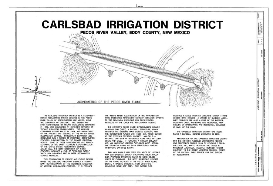
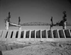 Carlsbad Irrigation DistrictNational Historic Landmark · listed 1966
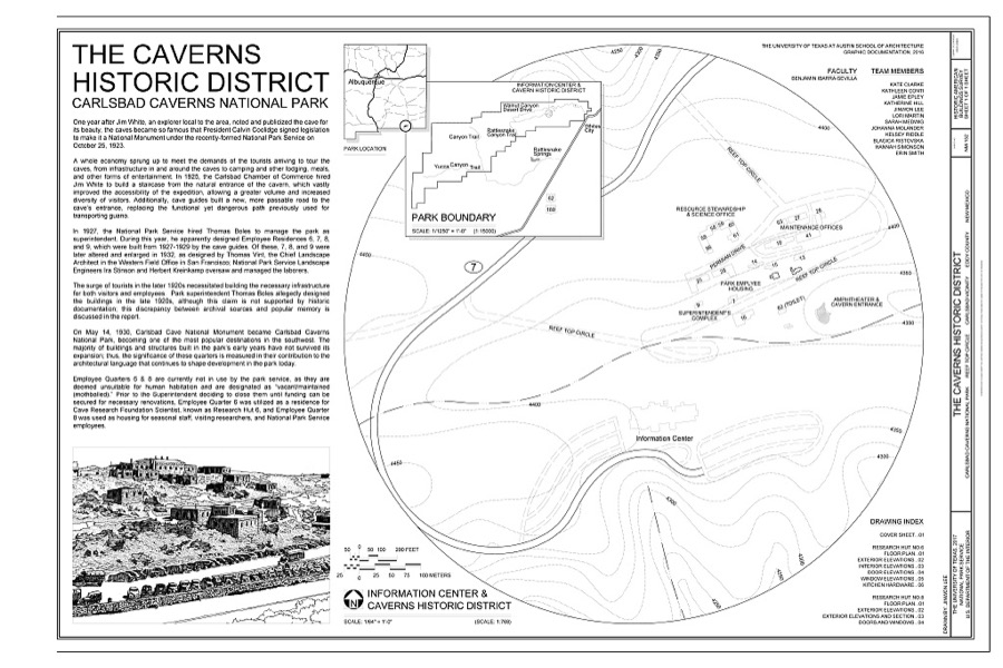
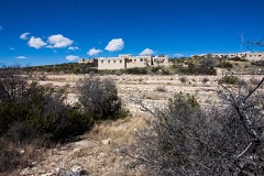 Caverns, The, Historic Districtlisted 1988
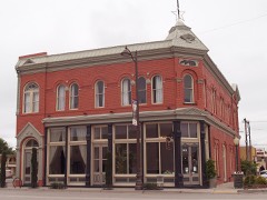 First National Bank of Eddylisted 1976
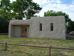 Rattlesnake Springs Historic Districtlisted 1988
- Armandinelisted 2003
- Caverns, The, Historic District (Boundary Increase)listed 2014
- Dam-Sitting Bull Falls Recreation Arealisted 1993
- Group Picnic Shelter-Sitting Bull Falls Recreation Arealisted 1993
- Picnic Shelter-Sitting Bull Falls Recreation Arealisted 1993
- Rober Weems and Mary E. Tansill Houselisted 2002
Surveyed buildings and structures 12 of 15 shown
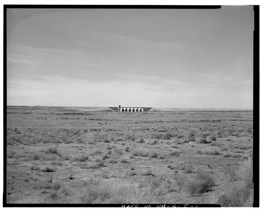
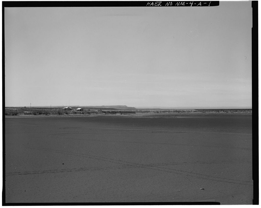
- Carlsbad Irrigation District, Along Pecos River Valley, 13 miles north to 15 miles southeast of Carlsbad, Carlsbadfederal building survey, 2 photographs
- Carlsbad Irrigation District, Avalon Dam, On Pecos River, 4 miles north of Carlsbad, Carlsbadfederal building survey, 99 photographs
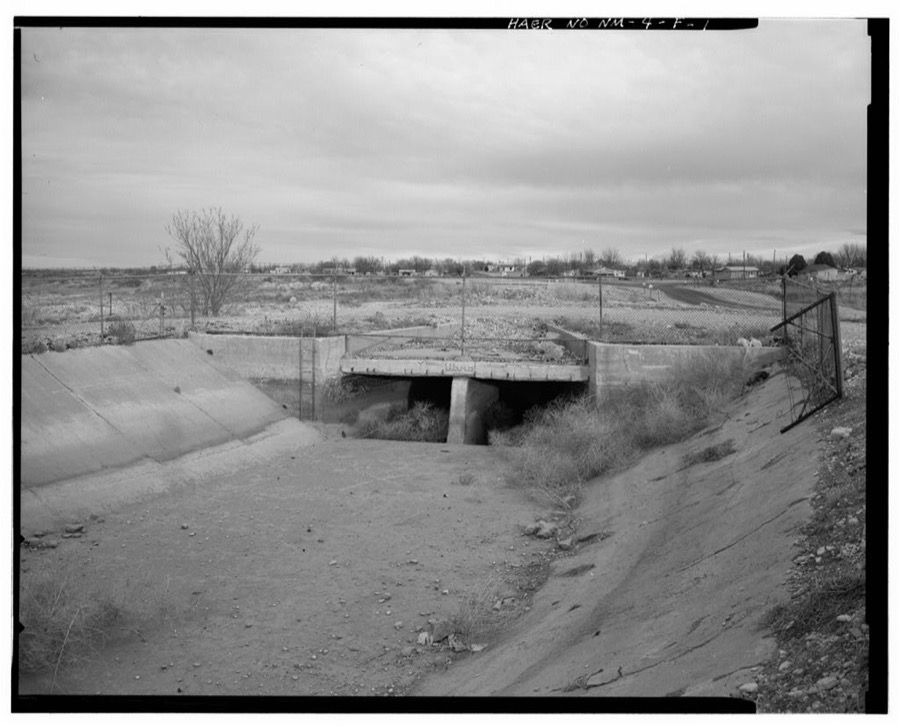
- Carlsbad Irrigation District, Black River Canal, 15 miles southeast of Carlsbad near Malaga, Carlsbadfederal building survey, 9 photographs
- Carlsbad Irrigation District, Brantley Dam, On Pecos River 12 miles northwest of Carlsbad, Carlsbadfederal building survey, 2 photographs
- Carlsbad Irrigation District, Dark Canyon Siphon, On Main Canal, 1 mile south of Carlsbad, Carlsbadfederal building survey, 7 photographs
- Carlsbad Irrigation District, East Side Canal, 1 mile north to 2 miles east of Carlsbad, Carlsbadfederal building survey, 11 photographs
- Carlsbad Irrigation District, First National Bank, 201 South Canal Street, Carlsbadfederal building survey, 2 photographs
- Carlsbad Irrigation District, Main Canal, 4 miles north to 12 miles southeast of Carlsbad, Carlsbadfederal building survey, 36 photographs
- Carlsbad Irrigation District, McMillan Dam, On Pecos River, 13 miles north of Carlsbad, Carlsbadfederal building survey, 63 photographs
- Carlsbad Irrigation District, Pecos River Flume, On Main Canal, .5 mile north of Carlsbad, Carlsbadfederal building survey, 20 photographs
- Iceberg Rock Staircase, 727 Carlsbad Cavern Highway, Carlsbadfederal building survey, 3 photographs
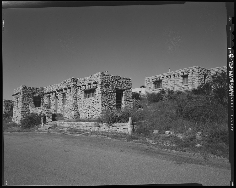
- The Caverns Historic District, Bunk House & Mess Hall, Reef Top Circle, Carlsbadfederal building survey, 15 photographs
Population over time
2 figuresCarlsbad grew from 26,138 to 32,238 between 2010 and 2020. These are the recorded population figures Wikidata holds for this place, reached through the Geographic Names Information System number this page is keyed on rather than by name, so they belong to this place and not to another of the same name. Most are census counts, but not all are: an early figure may be a founding or settlement estimate, and an estimate published within five years of a census is left out. The change column is computed, and is left blank where more than 20 years separate a figure from the one before it, because a gap that long is not a change between two counts.
| Year | People | Change |
|---|---|---|
| 2010 | 26,138 | |
| 2020 | 32,238 | +6,100 (+23%) |
Topographic sheets covering this place
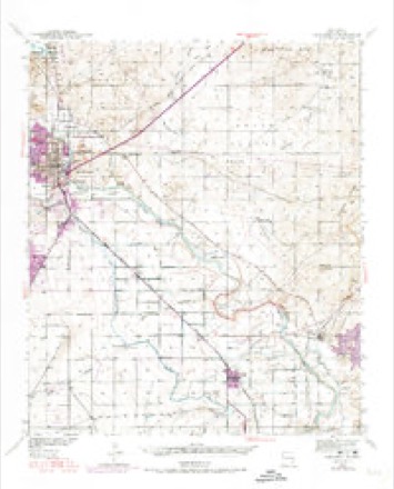
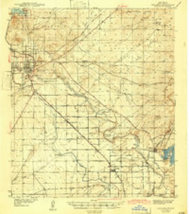
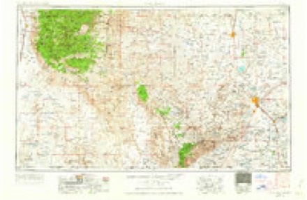
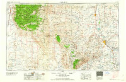
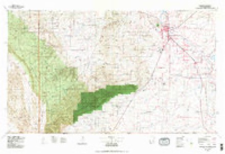
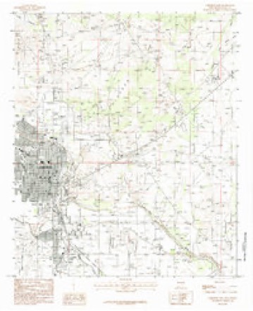
6 surveys from 11 printed sheetsMatched by testing this settlement's coordinate against the published boundary of every sheet in the United States Geological Survey's historical collection. Each opens the scanned sheet at the Survey.
- 1939 USGS Carlsbad quadrangle1:62500, 2 printings
- 1943 USGS Carlsbad quadrangle1:62500
- 1954 USGS Carlsbad quadrangle1:250000, 3 printings
- 1958 USGS Carlsbad quadrangle1:250000, 2 printings
- 1979 USGS Carlsbad quadrangle1:100000, 2 printings
- 1985 USGS Carlsbad East quadrangle1:24000
Photographs
8 of 16 photographs shown, 1943Taken for the Office of War Information and the Farm Security Administration, who photographed the country between 1935 and 1944. Works of United States government photographers, with no known restriction on use. Each opens its catalogue record.

Photographer not recorded, 1943. Library of Congress
Photographer not recorded. Library of Congress
Photographer not recorded. Library of Congress
Photographer not recorded. Library of Congress
Photographer not recorded. Library of Congress
Photographer not recorded. Library of Congress
Photographer not recorded. Library of Congress
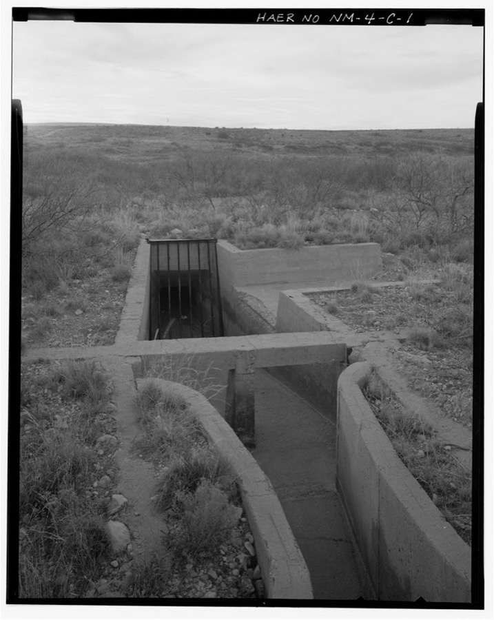
Photographer not recorded. Library of Congress
Every photograph of Eddy County
Fires near this place
102 since 1992Regional context, not property-specific evidence. The federal wildfire occurrence database lists 102 fires within 5 miles of Carlsbad between 1992 and 2020, burning about 341 acres in total. 2 started naturally. 4 were recorded as arson. Distance is straight-line from the map coordinates, so a fire counted here may appear on a neighbouring settlement's page as well.
| Reported cause | Fires |
|---|---|
| Missing data/not specified/undetermined | 64 |
| Debris and open burning | 11 |
| Equipment and vehicle use | 10 |
| Arson/incendiarism | 4 |
| Recreation and ceremony | 4 |
| Firearms and explosives use | 3 |
| Fireworks | 2 |
| Natural | 2 |
| Other causes | 1 |
| Smoking | 1 |
The most recent of them, most recent first, with the day each was reported and the service that recorded it.
| Date | Cause | Size | Reported by | Name on the report |
|---|---|---|---|---|
| 24 September 1999 | Equipment and vehicle use | under an acre | Roswell Field Office | TORNADO2 |
| 18 September 2000 | Missing data/not specified/undetermined | under an acre | Roswell Field Office | RELIEF |
| 6 August 2014 | Equipment and vehicle use | under an acre | New Mexico State Forestry Division | RELIEF 2 |
| 2 August 1993 | Missing data/not specified/undetermined | 15 acres | New Mexico State Forestry Division | TOWNSEND |
| 13 August 2011 | Missing data/not specified/undetermined | 34 acres | Carlsbad Field Office | T POST |
| 10 August 1994 | Missing data/not specified/undetermined | 4.0 acres | New Mexico State Forestry Division | LIVING DESER |
| 10 August 1992 | Natural | under an acre | Roswell Field Office | AVALON |
| 9 July 2020 | Fireworks | under an acre | Capitan District | 21-50130053X |
Settlements close enough to share some of these fires:
Mines and quarries near this place
10 within 5 milesRegional context, not property-specific evidence. The federal mineral resources record lists 10 workings within 5 miles of Carlsbad: 6 producers, 4 unknowns. 6 still produce. What was taken out: Sand and Gravel, Construction, Salt, Stone, Crushed/Broken. Distance is straight-line from the map coordinates, so a quarry counted here may appear on a neighbouring settlement's page as well.
| Where | Site | Commodity | Status | Recorded |
|---|---|---|---|---|
| Eddy County Pits | Stone, Crushed/Broken, Sand and Gravel, Construction | Unknown | ||
| New Mexico Salt Company | Salt | Producer | ||
| Townsite Salt | Salt | Unknown | ||
| Constructors Pit | Sand and Gravel, Construction | Producer | ||
| Constructors Pit Inc. Crusher | Sand and Gravel, Construction | Producer | ||
| Constructors, Inc. Pit | Sand and Gravel, Construction | Producer | Sedimentary | |
| Eddy County Pits | Sand and Gravel, Construction | Producer | ||
| Materials Pit | Sand and Gravel, Construction | Unknown | ||
| Materials Pit | Sand and Gravel, Construction | Unknown | ||
| Rose Pit | Sand and Gravel, Construction | Producer |
Storms near this place
60 of 330 shownRegional context, not property-specific evidence. The National Weather Service names Carlsbad in 330 storm reports between 1993 and 2025: 173 hail, 75 flash flood, 66 thunderstorm wind, 8 tornado. The reports record 1 death and 2 injuries. Each account below is quoted exactly as the forecast office filed it, from the NOAA Storm Events Database, and each date opens the federal record of that event.
| When | Event | Place named | Harm | What the report says |
|---|---|---|---|---|
| June 2021 | Flash Flood | Carlsbad | 1 killed, $30,000 | Heavy rain resulted in flash flooding near Carlsbad. Law enforcement officials reported a fatality of a gentleman whose vehicle got swept away by flash flood waters. The cost of damage is a very rough estimate. |
| July 2004 | Flash Flood | Carlsbad | 1 hurt, $75,000 | As runoff and additional heavy rainfall continued, flash flood conditions began to spread northeast across Eddy County along the many draws, creeks, and arroyos. By 09:30 MST local officials reported that Rocky Arroyo was flooding U.S. Highway 285 with four to six feet of flowing water northwest of Carlsbad. The typically narrow low water crossing inundated over 100 yards of the federal highway. Later reports confirmed that Rocky Arroyo also was flooding major highways west of the city. At 14:10 MST, over eight feet of flowing water covered State Highway 137 west of Carlsbad.At 15:25 MST emergency officials responded to the site of a distressed driver near the upper part of Rocky Arroyo at County Road 406 ten miles west-southwest of Carlsbad. There emergency officials worked to rescue a truck driver that became stranded in rushing flood waters. An hour later, the trucker was lifted to safety by a military rescue helicopter from Fort Bliss. He was treated at a Carlsbad hospital for minor injuries. |
| August 2004 | Lightning | Carlsbad | 1 hurt | A man was transported to a local hospital after being severely injured by lightning. The injury occurred on Forest Drive in the city of Carlsbad. |
| March 2010 | Hail | Carlsbad | $7,000,000 | Significant hail damage was observed at car dealerships located north of Church Street in Carlsbad. Although there were specific reports of roof damage, an exact number of homes impacted could not be established and this portion of the property damage was roughly estimated. |
| May 2005 | Hail | Carlsbad | $700,000 | A large swath of penny to golfball size hail affected the area from four miles southwest of Carlsbad, northeastward over the city, to approximately six miles east-southeast along New Mexico State Highway 128. Widespread damage to homes and businesses, including roof damage as well as broken windows and skylights, was reported. Additionally, many vehicles were damaged, including 200+ cars at two Carlsbad dealerships. |
| August 2004 | Thunderstorm Wind | Carlsbad | $500,000 | A linear bow-shaped complex of severe storms swept southeast across Eddy County during the late evening of the 12th. These storms resulted in widespread wind damage as they affected Carlsbad, Loving, and Malaga. Numerous trees, utility lines, and dozens of power poles were downed by the storms. Several trailers and other light structures also sustained damage. A National Weather Service damage assessment team also found wind damage to area agricultural crops. A wind gust of 78 MPH was recorded by the Carlsbad Municipal Airport ASOS at 21:39 MST. No injuries were reported. |
| September 2014 | Flood | Carlsbad | $300,000 | Heavy rain fell across Eddy County and produced flash flooding in Carlsbad. Water was into the back of houses on James Street in the Lower Tansil Dam area. The cost of damage is a very rough estimate. |
| June 2013 | Flash Flood | Carlsbad | $160,000 | Heavy rain moved across Eddy County and produced flash flooding in Carlsbad. Water breached a canal and flooded sixteen homes with one foot of water. The cost of damage is a rough estimate. |
| May 2005 | Hail | Carlsbad | $150,000 | Golfball hail with sporadic tennis ball size hailstones were reported in Carlsbad. Several skylights were broken and vehicles were damaged along the Pecos River just south of the downtown area. |
| May 2005 | Flash Flood | Carlsbad | $150,000 | The public reported up to two feet of water flowing over New Mexico Route 31 in eastern Eddy County at 22:09 MDT. By 22:45 MDT, local law enforcement officials had closed the highway to through traffic. Flood waters washed out 150 feet of railroad track that parallels the state route. Rail traffic was halted for more than a week until crews were able to repair the damage. |
| September 2006 | Flash Flood | Carlsbad | $100,000 | Six inches of water was flowing across the intersection of U.S. Highway 62/180 and New Mexico Highway 31 and over U.S. Highway 285 from Carlsbad to five miles north of Carlsbad. Six to eight inches of water was flowing over the intersection of U.S. Highway 62/180 and New Mexico Highway 360. One to two feet of water was running over many roads in northern and central Carlsbad. In addition, a resident reported water flowing into his basement. Later in the evening, two feet of water was reported flowing over the intersection of Main and Green Streets. Floodwaters also were beginning to invade homes in the La Huerta area of northeastern Carlsbad. Three feet of water were running over New Mexico Highway 128, seven miles east of that highway's intersection with New Mexico Highway 31. A vehicle was stranded in the high water and traffic was unable to drive through this location safely. Floodwaters continued to inundate basements in eastern portions of Carlsbad and vehicles continued to get swept up by high water on city streets. New Mexico Highway 524 was barricaded because of high water between U.S. Highway 285 and Lea Street on the south side of Carlsbad. |
| May 2005 | Hail | Carlsbad | $100,000 | Hen egg size hailstones mixed with smaller hail just south of downtown Carlsbad. Storm spotters and local officials reported damage to area vehicles and homes. |
| July 2004 | Flash Flood | Carlsbad | $100,000 | At 20:30 MST an automated river gauge recorded an eight foot flood wave propagating down Dark Canyon Draw and approaching Carlsbad. This wave was the result of runoff and excessively heavy rains over the Guadalupe Mountains and adjacent plains during the course of the previous twenty-four hours. By 21:10 MST several low water crossings in the city were flowing with flood waters four feet deep and seventy-five to 100 yards wide. This threatened homes and property in parts of the city. Local officials reported water running above the curbs in most city streets at 22:15 MST. Damage was minimal and no injuries were reported. |
| June 2005 | Flash Flood | Carlsbad | $50,000 | Several reports of flash flooding were received from central and northeastern Eddy County. More than eighteen inches of water was reported flowing over Eddy County Road 34 northeast of Carlsbad. Ranchers reported that approximately two inches of rain fell over thirty minutes. A few rural ranch homes in the area sustained minor damage when flood waters entered the structures. |
| August 2004 | Flash Flood | Carlsbad | $50,000 | Law enforcement officials and trained storm spotters reported flash flooding that inundated numerous city streets with flowing flood waters. The floods damaged at least one business when up to half a foot of water entered a local hotel. In addition, several area highways were deemed impassable due to high water. State Highway 137 was completely submerged by flood waters near the intersection of U.S. Highway 285. No injuries were reported. |
| May 1993 | Thunderstorm Wind | Carlsbad | $50,000 | no account filed |
| September 2019 | Flash Flood | Carlsbad | $30,000 | Heavy rain fell across Eddy County and produced flash flooding in Carlsbad. There were numerous water rescues with vehicles being abandoned. Nearly every low water crossing across Eddy County was under water. The cost of damage is a very rough estimate. |
| April 2004 | Hail | Carlsbad | $30,000 | Nickel to golf ball size hail was reported covering the ground in the city of Carlsbad. |
| June 2002 | Thunderstorm Wind | Carlsbad | $25,000 | A severe thunderstorm produced a microburst over the south side of Carlsbad. Local media reported part of the roof of a local convinience store was destroyed. |
| July 1996 | Thunderstorm Wind | Carlsbad | $25,000 | no account filed |
| September 2005 | Thunderstorm Wind | Carlsbad | $24,000 | A severe thunderstorm moved across rural portions of eastern Eddy county. Severe wind gusts downed six telephone poles. |
| August 2005 | Thunderstorm Wind | Carlsbad | $20,000 | Power poles were blown down in Happy Valley and Carlsbad. |
| April 2001 | Thunderstorm Wind | Carlsbad | $20,000 | A dry microburst resulted in damage to a metal storage building and also to several sheds in the city of Carlsbad. |
| August 2007 | Flash Flood | Carlsbad | $15,000 | A trained spotter reported one foot of running water on many streets in Carlsbad. Local law enforcement reported two to three vehicles stalled in high water at the intersection of Canal and Tansil streets. |
| May 2005 | Thunderstorm Wind | Carlsbad | $15,000 | A spotter reported that several utility poles were blown down by thunderstorm winds along U.S. Highway 285 southeast of Carlsbad. |
| May 2014 | Thunderstorm Wind | Carlsbad | $13,000 | A thunderstorm moved across Eddy County and produced a strong wind gust that destroyed a barn eleven miles north of Carlsbad on County Road 34. The cost of damage is a rough estimate. |
| September 2023 | Thunderstorm Wind | Carlsbad | $10,000 | Social media pictures show store siding removed due to strong winds. Estimated wind speed is approximately 65 mph. Property damage cost is an estimation. |
| May 2018 | Thunderstorm Wind | Carlsbad | $10,000 | A thunderstorm moved across Eddy County and produced wind damage in Carlsbad. A tin roof on top of a Sears store in Carlsbad was ripped apart by thunderstorm wind gusts. The cost of damage is a very rough estimate. |
| July 2014 | Flash Flood | Carlsbad | $10,000 | Heavy rain moved across Eddy County and produced flash flooding in Carlsbad. Lea Street in Carlsbad was completely flooded and cars were almost floating away according to a report by local law enforcement. The cost of damage is a very rough estimate. |
| June 2013 | Thunderstorm Wind | Carlsbad | $10,000 | A thunderstorm moved across Eddy County and produced wind damage four miles south southwest of Carlsbad. Five power poles snapped near the ground at Highway 62/180 and West Derrick Road just east of the aiport. The cost of damage is a rough estimate. |
| May 2008 | Hail | Carlsbad | $10,000 | Penny to golfball sized hail was reported on the south side of Carlsbad. |
| September 2007 | Hail | Carlsbad | $10,000 | Nickel to golf ball sized hail fell in Carlsbad. |
| August 2005 | Flash Flood | Carlsbad | $10,000 | A National Weather Service trained spotter reported that a high water rescue was performed when three people were stranded in a submerged vehicle on Hidalgo Road near Dark Canyon Draw. |
| July 2009 | Thunderstorm Wind | Carlsbad | $8,000 | Multiple power poles were knocked down in Carlsbad, NM. |
| April 2002 | Thunderstorm Wind | Carlsbad | $8,000 | A dry microburst resulted from virga showers damaging a trailer house and storage barn in Carlsbad on the 15th. Part of the roof of a single wide trailer was ripped off. A storage barn was also heavily damaged. No injuries were reported...and damage amounts are estimated. |
| June 2015 | Thunderstorm Wind | Carlsbad | $6,200 | Thunderstorm moved across Eddy County and produced an estimated wind gust of 60 mph and knocked down 3 power poles and a road sign along US 285 3 miles northwest of Carlsbad. |
| May 2013 | Thunderstorm Wind | Carlsbad | $6,000 | A thunderstorm moved over Eddy County and produced an 80 mph wind gust which peeled back the roof of the VFW in Carlsbad. The cost of damage is a rough estimate. |
| May 2025 | Thunderstorm Wind | Carlsbad | $5,000 | A member of the public reported multiple tree branches down near Main Street on the east side of Carlsbad due to thunderstorm wind gust. The maximum wind gust is estimated. |
| October 2023 | Hail | Carlsbad | $5,000 | Golf ball size hail along State Highway 137 near Rock Arroyo crossing. Wind-driven hail broke windshields and fences were blown down. Time estimated from radar. Property damage cost is an estimation. |
| July 2022 | Thunderstorm Wind | Carlsbad | $5,000 | A thunderstorm produced wind damage in Carlsbad. There were numerous reports of broken tree limbs in town. The cost of damage is a very rough estimate. |
| May 2014 | Flash Flood | Carlsbad | $5,000 | Heavy rain moved across Eddy County and produced flash flooding about 20 miles west southwest of Carlsbad. Five feet deep of flowing water was reported on Eddy County Road, aka Dark Canyon Road. This road was blocked by county road crews. No damage was reported so the cost of damage is a very rough estimate. |
| September 2013 | Flash Flood | Carlsbad | $5,000 | Heavy rain moved across Eddy County and produced flash flooding in Carlsbad. At least one foot of water was running over Tansill Road in south Carlsbad. The street was barricaded as a result of the flooding. The cost of damage is a very rough estimate since no damage was reported. |
| September 2012 | Flash Flood | Carlsbad | $5,000 | Heavy rain fell across Eddy County and produced flash flooding in Carlsbad. The Carlsbad police department reported that most intersections in Carlsbad were flooded. The cost of damage is a very rough estimate since no damage was reported. |
| March 2006 | Thunderstorm Wind | Carlsbad | $5,000 | Severe thunderstorm winds snapped a power pole in two in the La Huerta area of northeastern Carlsbad. |
| September 2002 | Flash Flood | Carlsbad | $5,000 | Officials reported flash flooding which resulted in high water up to three feet deep over a low water crossing at Dark Canyon Draw near Hidalgo. One vehicle was stalled in the flood waters. No injuries were reported. |
| September 1999 | Thunderstorm Wind | Carlsbad | $5,000 | Strong outflow winds from a thunderstorm in Carlsbad knocked down several utility poles. |
| September 2007 | Hail | Carlsbad | $5,000 | no account filed |
| August 1996 | Thunderstorm Wind | Carlsbad | $5,000 | no account filed |
| May 2017 | Hail | Carlsbad | $4,200 | A thunderstorm moved across Eddy County and produced golf ball sized hail at Carlsbad Caverns National Park. There were 65 windows reported broken, four window screens, nine vehicle mirrors, two windshields, and six tail lights. The cost of damage is a rough estimate. |
| July 2005 | Thunderstorm Wind | Carlsbad | $4,000 | A power pole and line were blown down by severe thunderstorm winds south of Carlsbad at the intersection of Old Cavern Highway and Wagon Wheel Road. |
| May 2014 | Hail | Carlsbad | $3,000 | A thunderstorm moved across Eddy County and produced hail north of Carlsbad. There were some car dents as a result of this hail. The cost of damage is a rough estimate. |
| February 2005 | Hail | Carlsbad | $3,000 | Multiple reports of large hail ranging in size from quarters to golfballs were received as a severe thunderstorm affected Carlsbad. |
| June 2003 | Thunderstorm Wind | Carlsbad | $3,000 | Several reports of blown down trees and power lines were received from the city of Carlsbad. One tree was a forty feet tall pine tree which was twenty inches in diameter. A 58 MPH severe thunderstorm wind gust was recorded at the Carlsbad Airport. |
| June 2001 | Thunderstorm Wind | Carlsbad | $3,000 | Power lines blown down. |
| May 2014 | Hail | Carlsbad | $2,000 | A thunderstorm moved over Eddy County and produced one inch hail north of Carlsbad. There were car dents and minor leaf damage. The cost of damage is a rough estimate. |
| May 2004 | Thunderstorm Wind | Carlsbad | $2,000 | Utility lines were blown down by severe thunderstorm winds along U.S. Highway 385. |
| August 2022 | Flash Flood | Carlsbad | $1,000 | Heavy rain resulted in flash flooding in Carlsbad. There were several road closures throughout Carlsbad due to high water. The cost of damage is a very rough estimate. |
| June 2022 | Thunderstorm Wind | Carlsbad | $1,000 | A thunderstorm produced wind damage on the north side of Carlsbad. Multiple tree branches were blown down with some as large as six inches in diameter. The cost of damage is a very rough estimate. |
| June 2014 | Hail | Carlsbad | $1,000 | A thunderstorm moved across Eddy County and produced golfball sized hail south of Carlsbad. The hail busted out a kitchen window. The cost of damage is a rough estimate. |
| September 2014 | Flash Flood | Carlsbad | $1,000 | Heavy rain fell across Eddy County and produced flash flooding in Carlsbad. Water was reported to be flowing curb to curb six inches to one foot deep. The cost of damage is a very rough estimate. |
Newspapers printed here
8,203 digitised pages4 papers published in this town, digitised by the Library of Congress and free to read: 1,244 issues, 8,203 pages. Every page is searchable, so a name or a street can be looked for directly in what the town printed about itself at the time.
| Newspaper | Published |
|---|---|
| The Carlsbad Current | 1908 to 1926 |
| Carlsbad Current | 1899 to 1907 |
| Carlsbad Current and New Mexico Sun | 1907 to 1908 |
| The Evening Current | 1917 to 1918 |
What the paper printed
20,726 wordsFront pages of the local paper, read from the Library of Congress scans: 19 issues spread across its run from 1899 to 1922, 20,726 words in total. Each is reproduced on its own page, exactly as the recogniser returned it.
These pages read less well than anything else here, and the number is worth stating: about three words in four come through cleanly, against nine in ten for the building records. An 1896 broadsheet sets eight-point type in seven columns on microfilm, which is the hardest thing in this archive to read by machine. We tested our own recognisers against the Library's and they were not better, so the Library's text is what appears, with the wholly unreadable columns removed. Read it as a guide to what the paper covered, and follow the link to the scan before quoting anything.
| Issue | Paper | Length |
|---|---|---|
| 1908-11-20 | The Carlsbad Current | 1,169 words |
| 1908-11-27 | The Carlsbad Current | 1,578 words |
| 1908-12-11 | The Carlsbad Current | 1,135 words |
| 1908-12-18 | The Carlsbad Current | 1,057 words |
| 1922-12-29 | The Carlsbad Current | 1,026 words |
| 1899-06-03 | Carlsbad Current | 1,219 words |
| 1899-07-15 | Carlsbad Current | 140 words |
| 1899-09-02 | Carlsbad Current | 542 words |
| 1899-10-21 | Carlsbad Current | 318 words |
| 1899-12-09 | Carlsbad Current | 811 words |
| 1908-01-03 | Carlsbad Current and New Mexico Sun | 1,732 words |
| 1908-03-06 | Carlsbad Current and New Mexico Sun | 2,445 words |
| 1908-05-15 | Carlsbad Current and New Mexico Sun | 1,437 words |
| 1908-07-17 | Carlsbad Current and New Mexico Sun | 2,503 words |
| 1908-09-25 | Carlsbad Current and New Mexico Sun | 653 words |
| 1917-06-09 | The Evening Current | 933 words |
| 1917-08-01 | The Evening Current | 568 words |
| 1917-09-20 | The Evening Current | 630 words |
| 1917-11-10 | The Evening Current | 830 words |
Nearest settlements
The eight closest, with where each one stands in the county. Distances are straight-line, computed from the Geographic Names Information System coordinates.
| Map | Place | Distance | Sheets |
|---|---|---|---|
| Hagerman Heights | 0.5 miles | 11 | |
| San Jose | 0.9 miles | 11 | |
| West Carlsbad | 1.4 miles | 12 | |
| La Huerta | 1.6 miles | 11 | |
| Avalon | 5.3 miles | 11 | |
| Otis | 5.8 miles | 11 | |
| Four Forks | 7.3 miles | 12 | |
| Barber Crossing | 10.0 miles | 11 |
Elsewhere
Matched on this settlement's Geographic Names Information System number rather than its name, so it cannot be a different place of the same name in another state.
| Wikipedia article on Carlsbad | An encyclopaedic summary. Its text is share-alike, so it is linked here rather than copied. |
| Wikidata item Q852577 | The structured record the population and elevation above come from. Public domain (CC0). |
Provenance
This settlement is recorded in the Geographic Names Information System as feature 887199. The sheet list is computed by point-in-boundary test against the United States Geological Survey's historical topographic inventory. Both are works of the United States government and carry no copyright under 17 U.S.C. 105.
Wildfire. Short, Karen C. 2022. Spatial wildfire occurrence data for the United States, 1992-2020 [FPA_FOD_20221014]. 6th Edition. Fort Collins, CO: Forest Service Research Data Archive. https://doi.org/10.2737/RDS-2013-0009.6 Collected with United States Government funding and usable without additional permissions or fees.
Mines and quarries. USGS Mineral Resources Data System (MRDS) https://mrdata.usgs.gov/mrds/ A work of the United States government, no copyright under 17 U.S.C. 105.
Storms. NOAA National Centers for Environmental Information, Storm Events Database https://www.ncei.noaa.gov/stormevents/ A work of the United States government, no copyright under 17 U.S.C. 105. Narratives are quoted verbatim from the National Weather Service report and are not edited or summarised.