Block
From the record
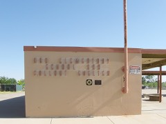
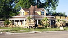
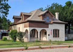
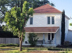
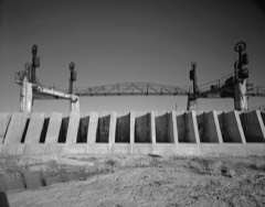
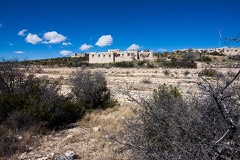
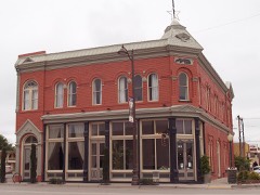
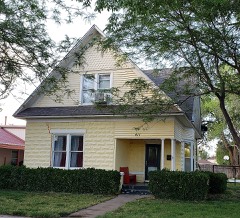
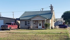
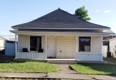
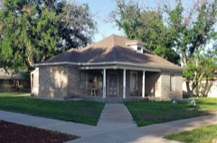
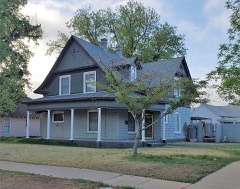
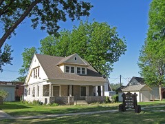
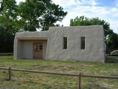
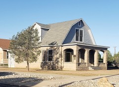
24 National Register listings published here, 1 of them a National Historic Landmark.
Sources: the National Register database, National Park Service
77 topographic sheets and 12 fire insurance atlases across 2 places.
24 National Register listings published here, 1 of them a National Historic Landmark.
Sources: the National Register database, National Park Service
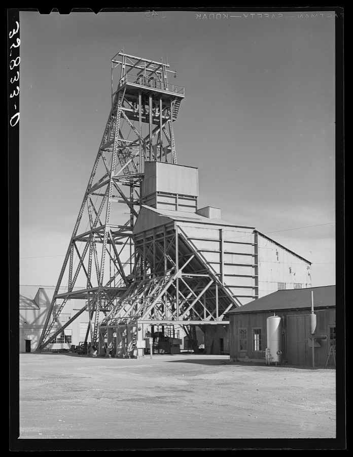
Taken for the Office of War Information and the Farm Security Administration, who photographed the country between 1935 and 1944. Works of United States government photographers, with no known restriction on use. Each opens its catalogue record.
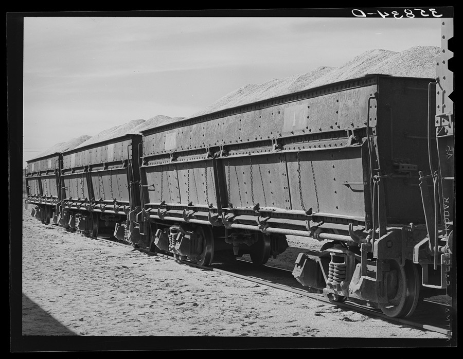
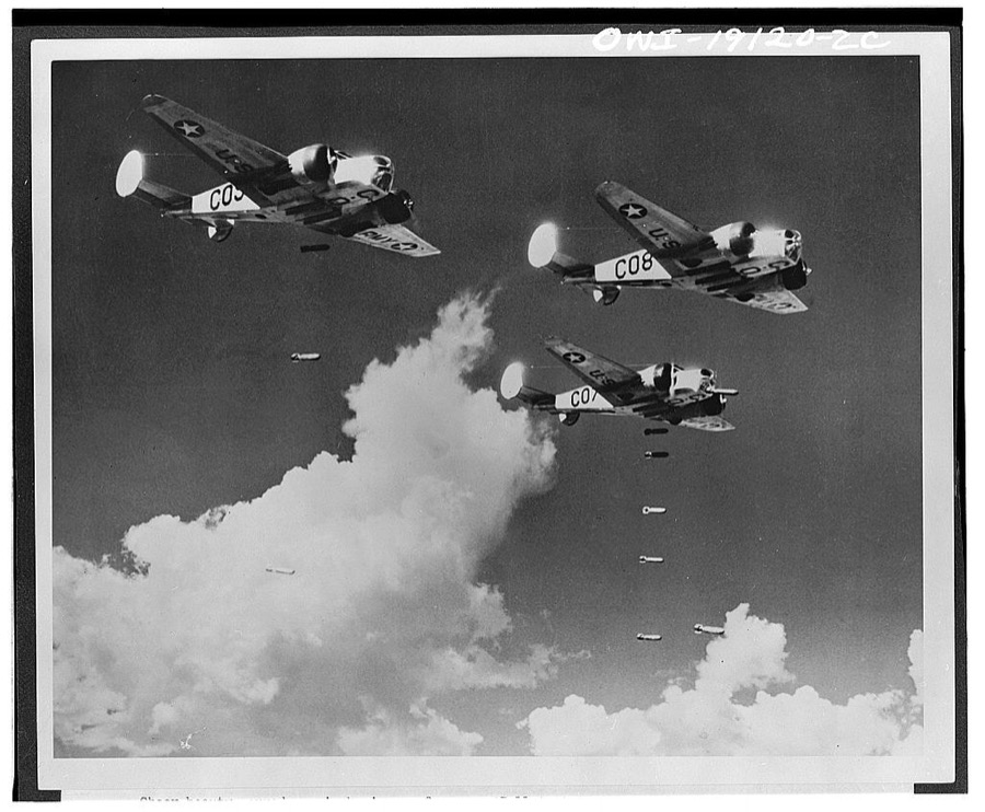
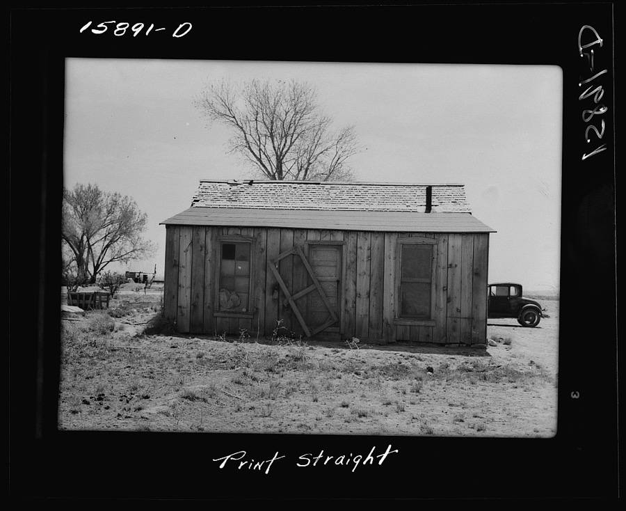
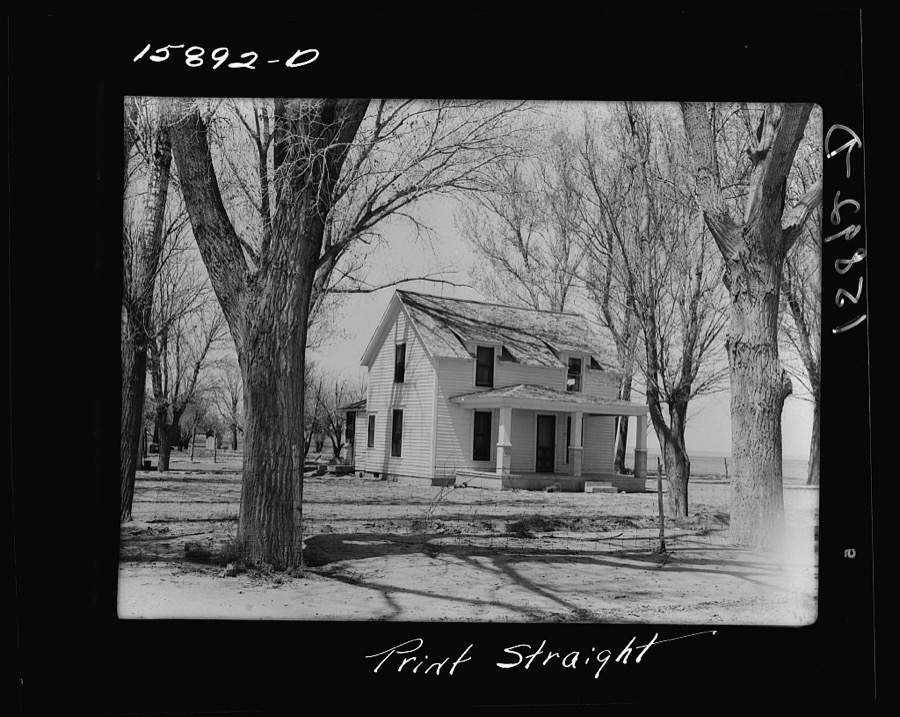
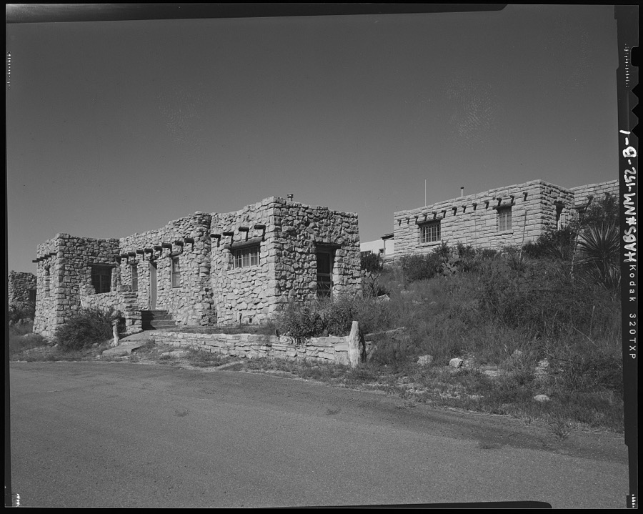
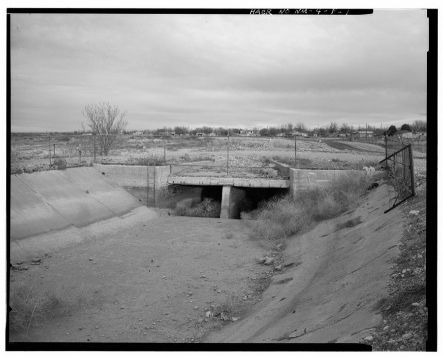
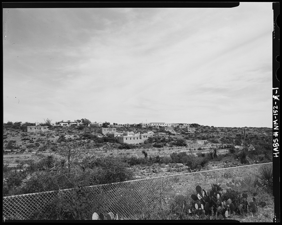
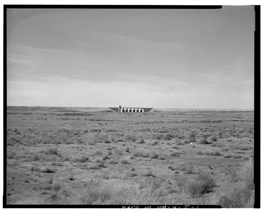
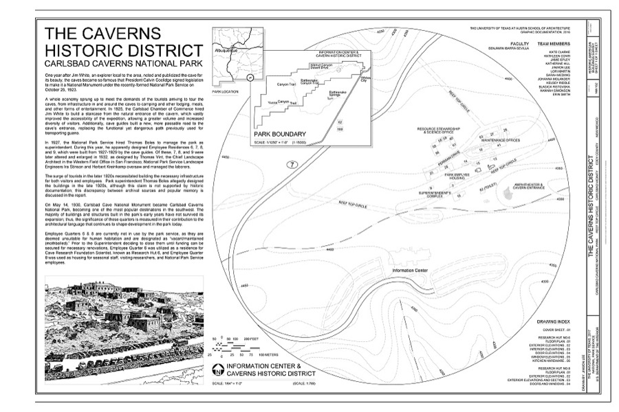
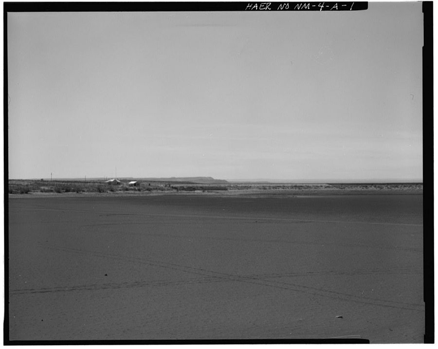
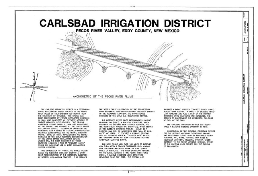
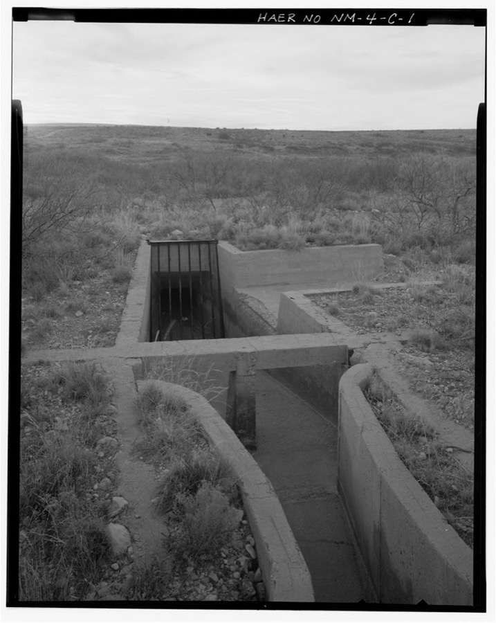
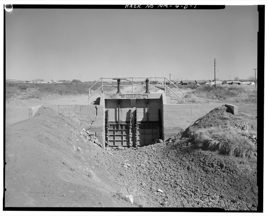
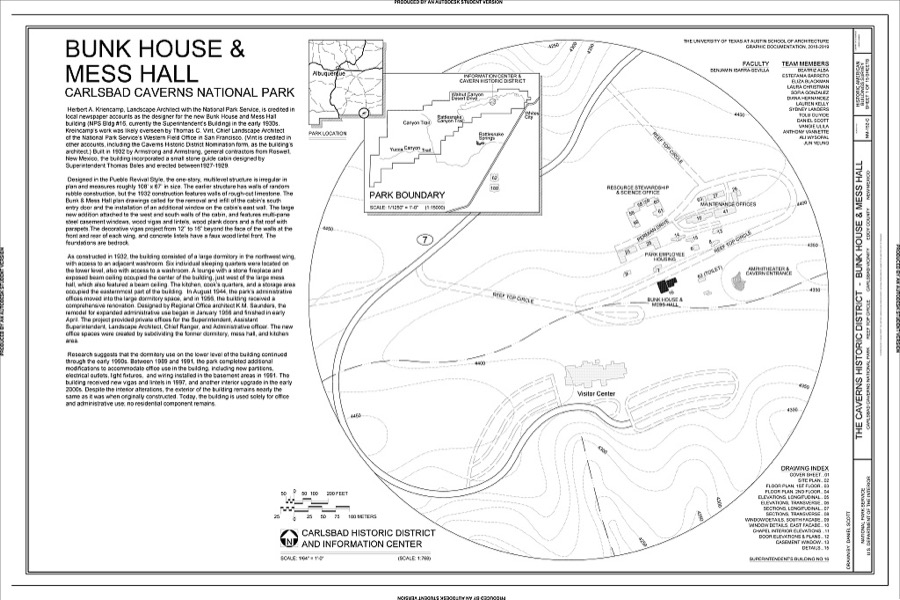
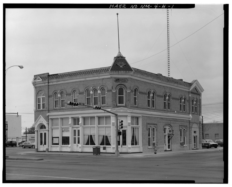
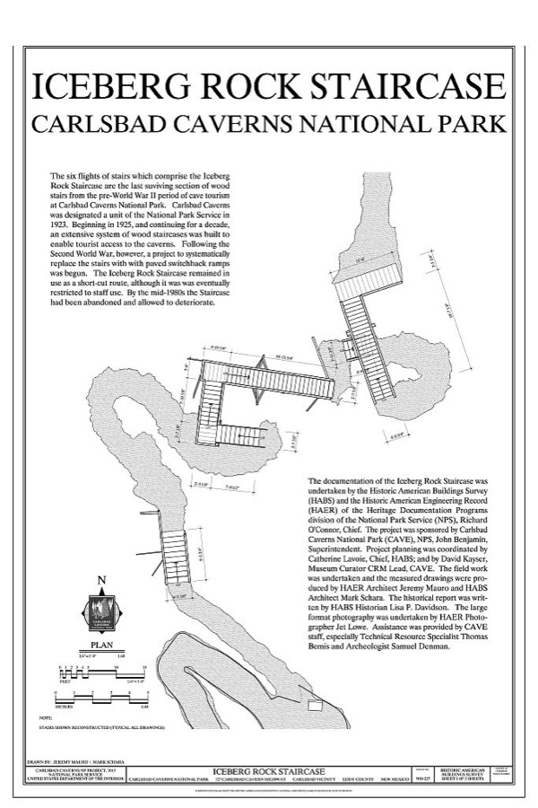
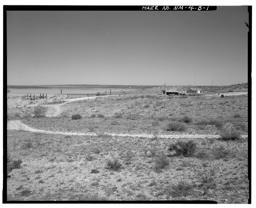
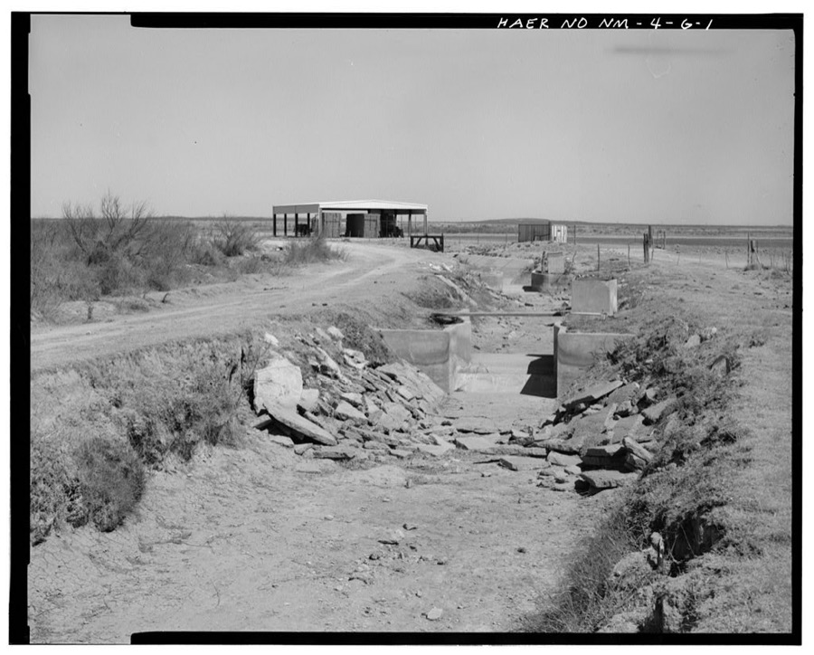
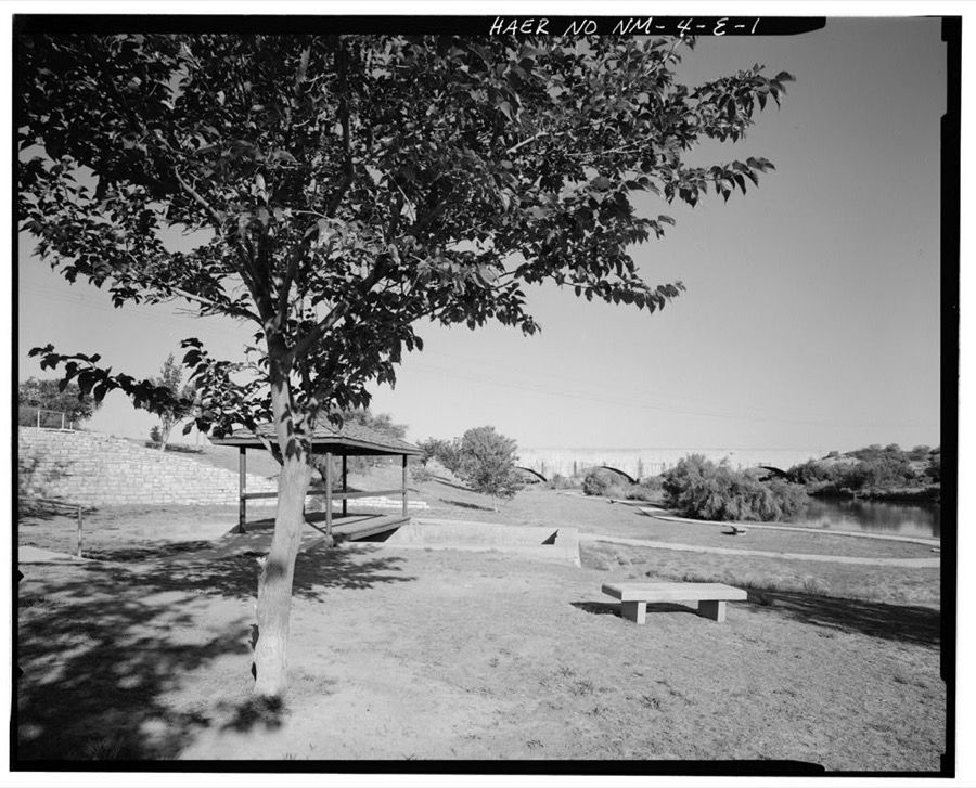
Every property in this county listed on the National Register of Historic Places, with the year it was listed and the federal nomination document.
Sampled issues, machine-read from the Library of Congress scan and published page by page, so every headline and column is searchable text.
Carlsbad, N.M., 1908 to 1926. Machine-read from the Library of Congress scan.
Carlsbad, N.M., 1899 to 1907. Machine-read from the Library of Congress scan.
Carlsbad, N.M., 1907 to 1908. Machine-read from the Library of Congress scan.
Carlsbad, N.M., 1917 to 1918. Machine-read from the Library of Congress scan.
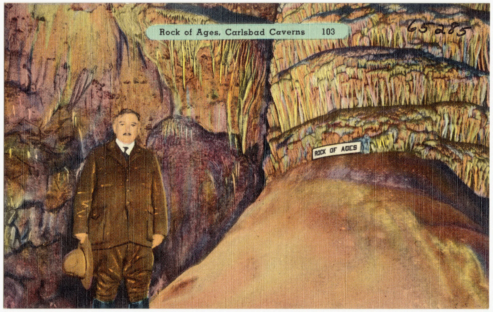
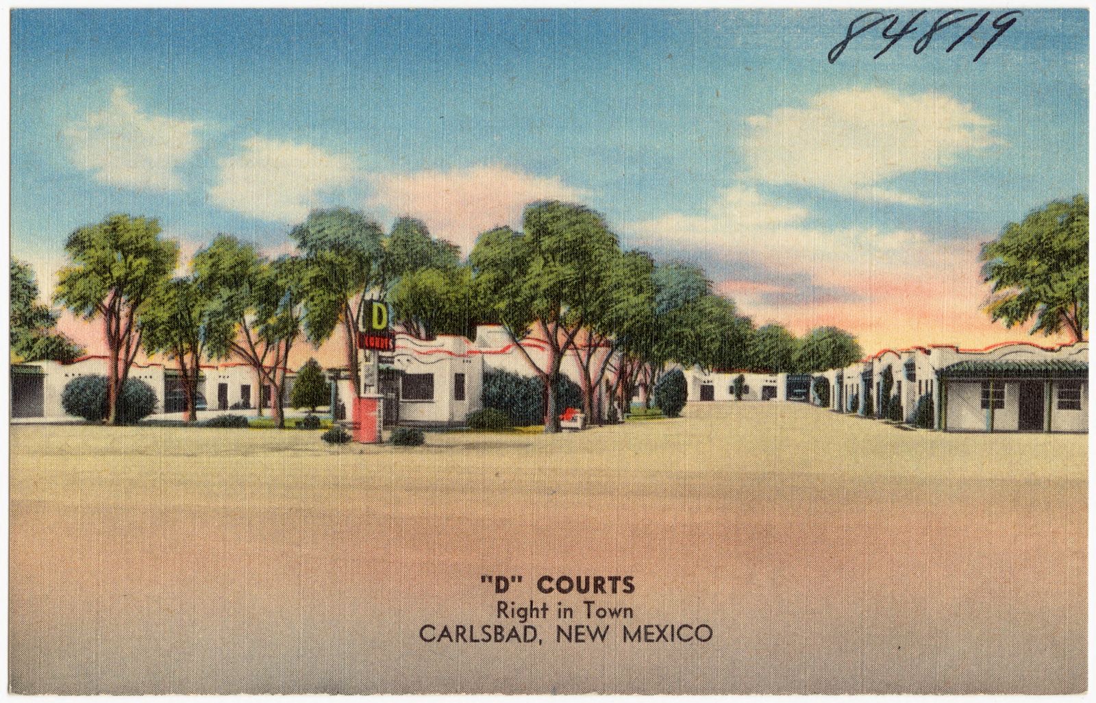
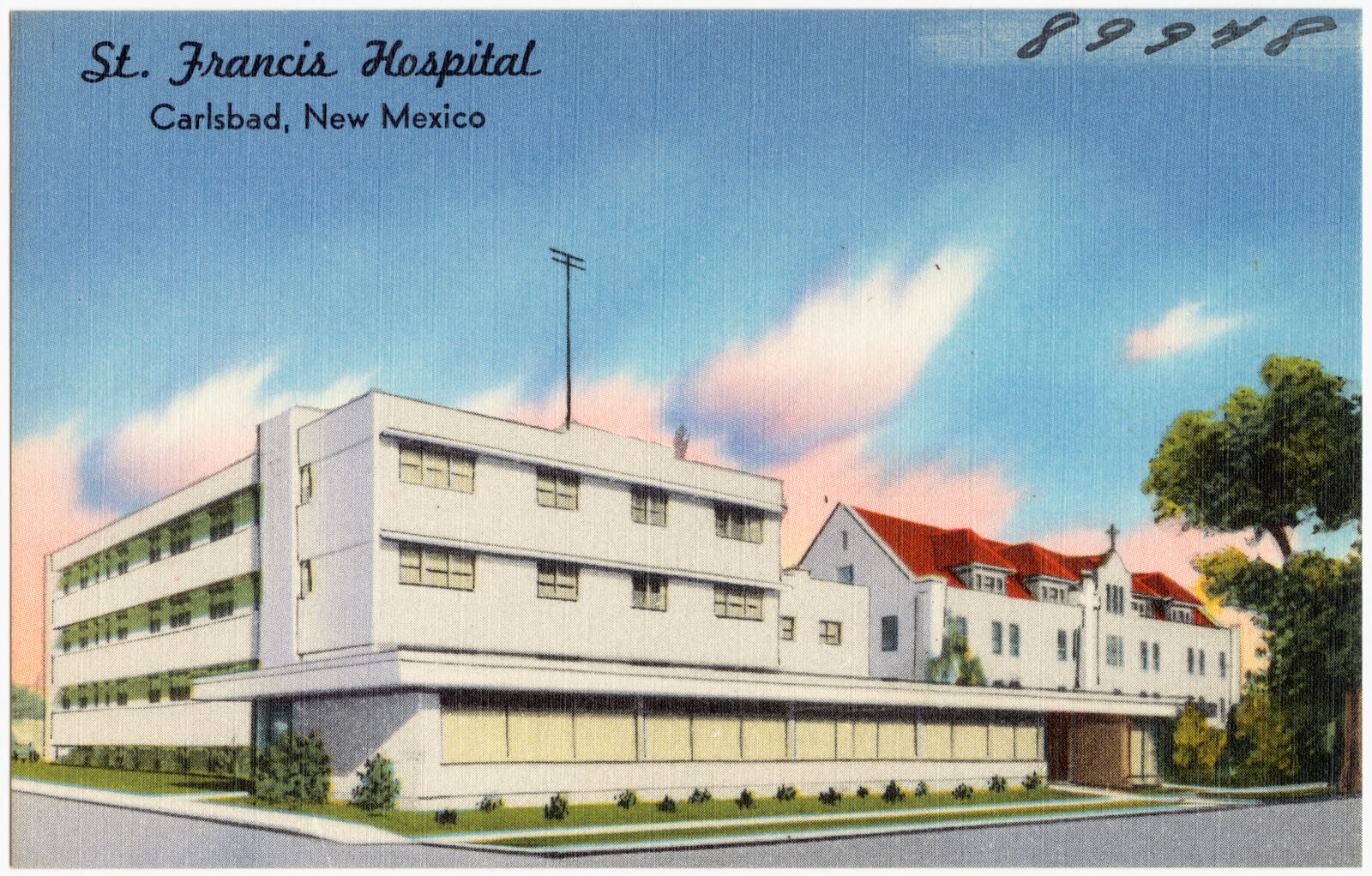
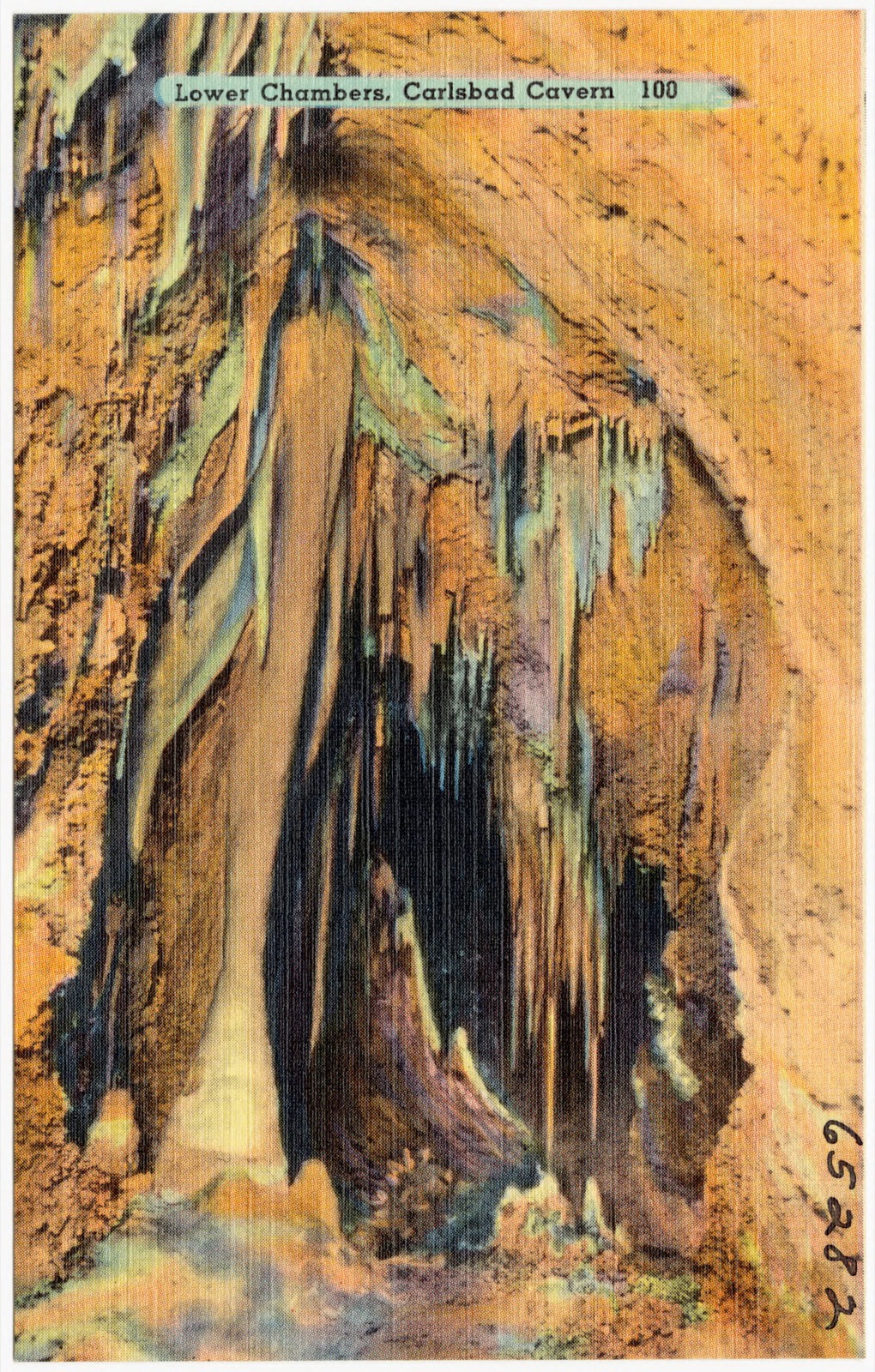
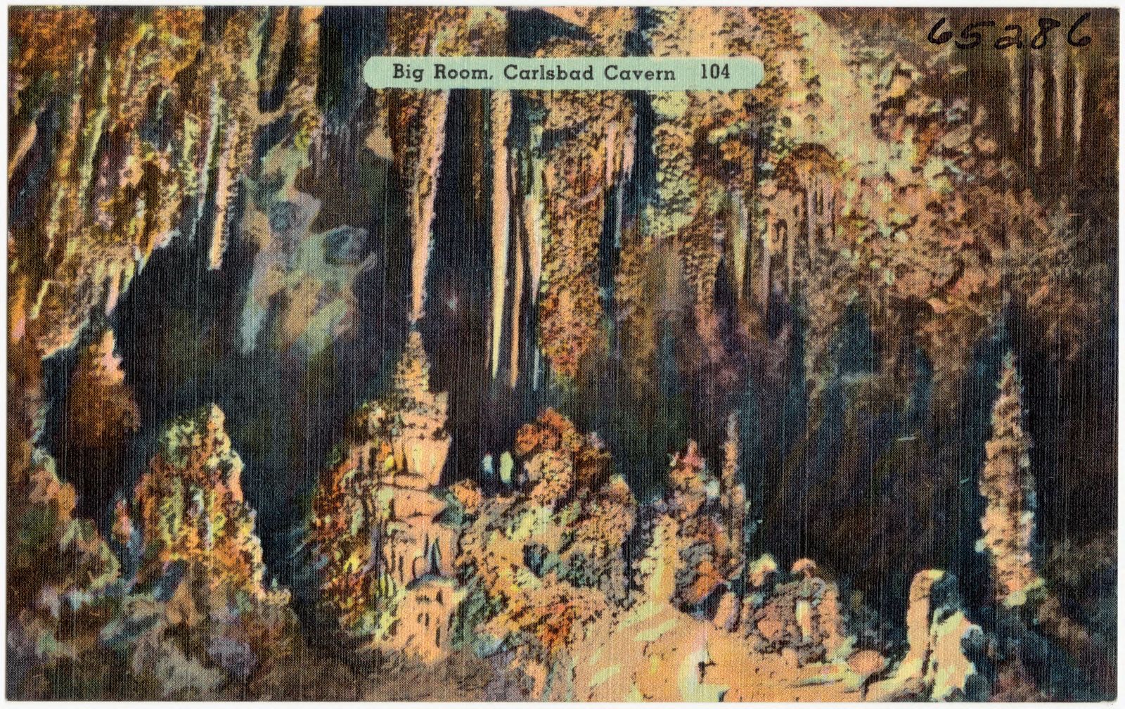
Selected from the Digital Public Library of America's 10 image records catalogued for this county. Every one shown here carries a public-domain status or a licence that permits reuse on a site that carries advertising; non-commercial, share-alike and restricted images are excluded. The selection is spread across the county's towns (at most eight per town), so no single institution's bulk upload crowds out the rest. Each opens the holding library's record, and the complete set at the Digital Public Library of America is one click away.
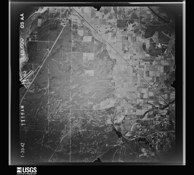
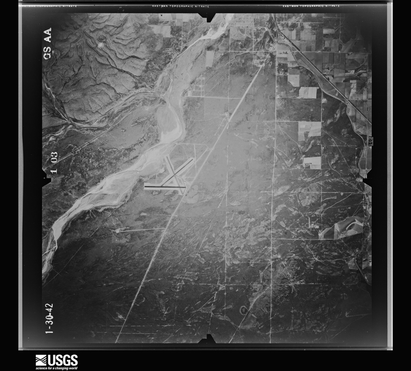
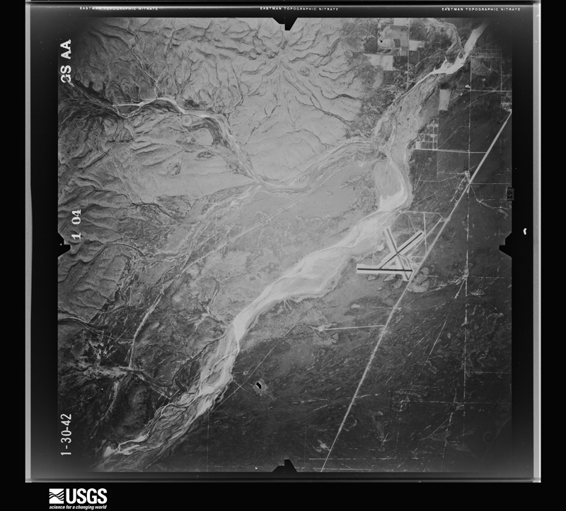
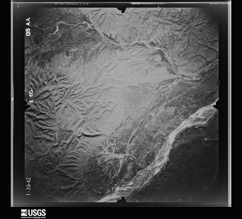
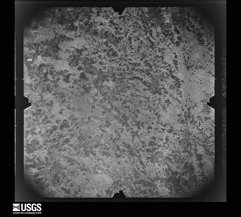
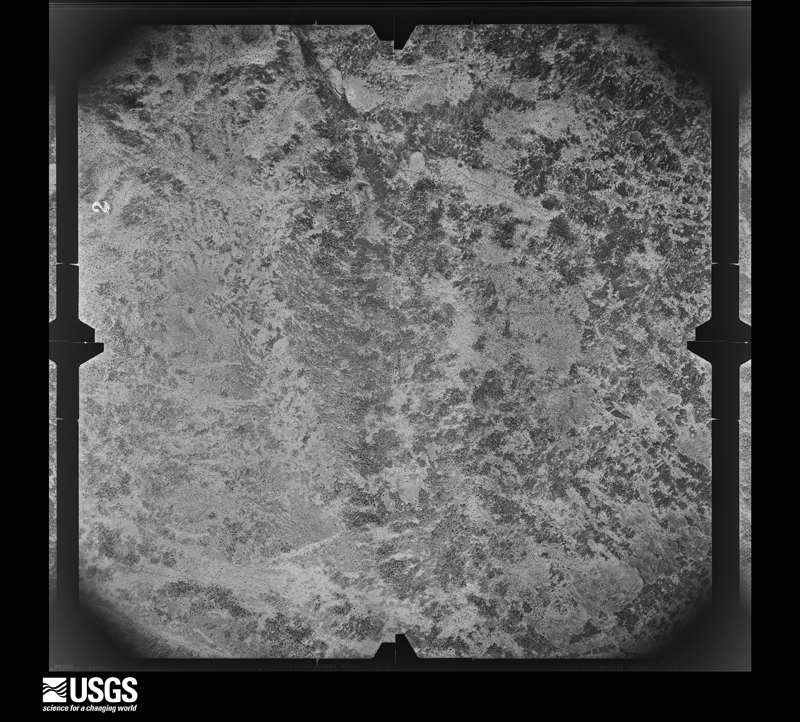
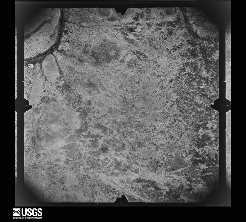
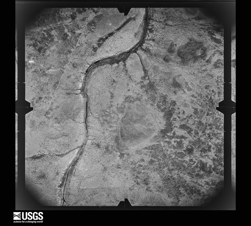
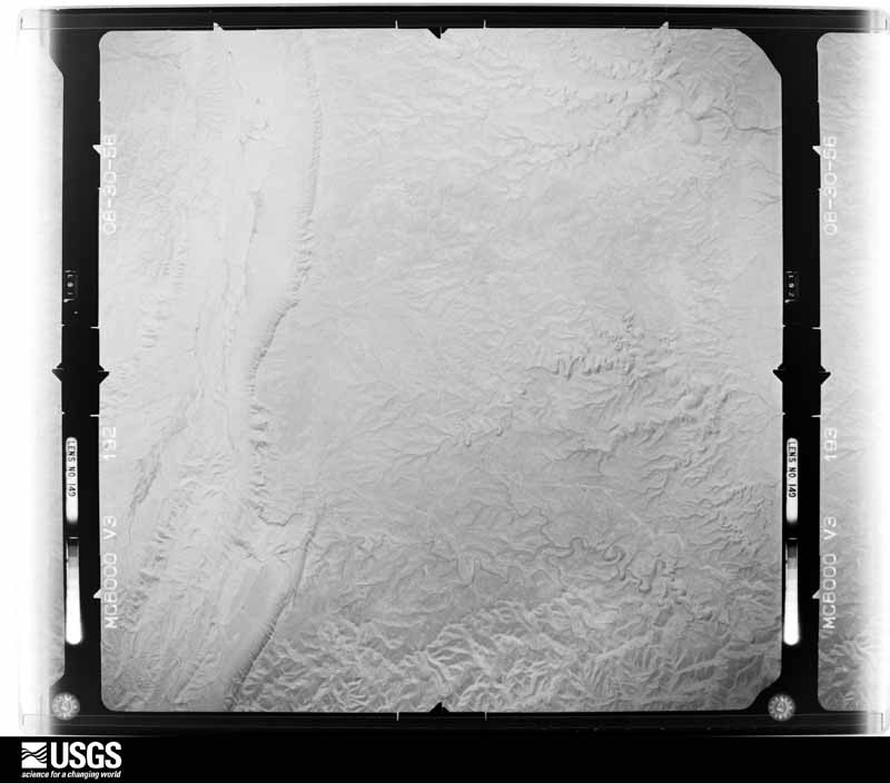
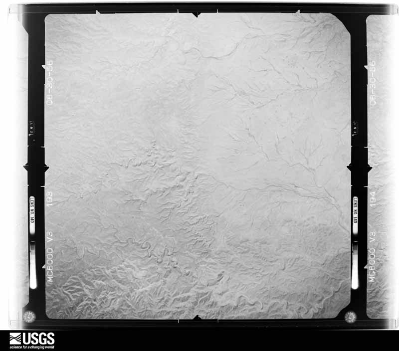
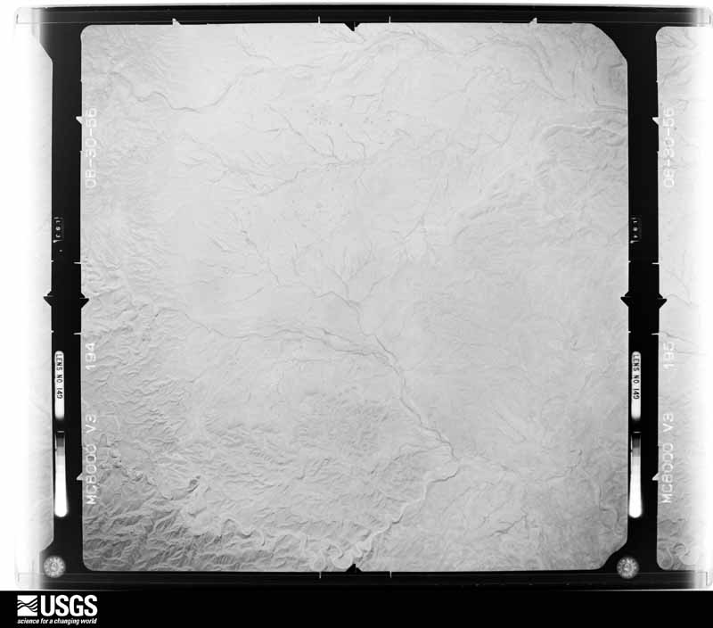
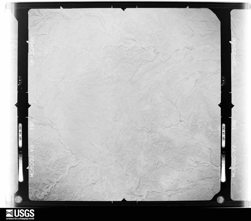
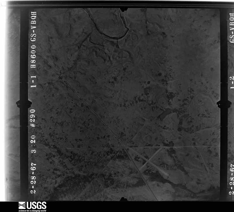
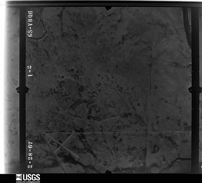
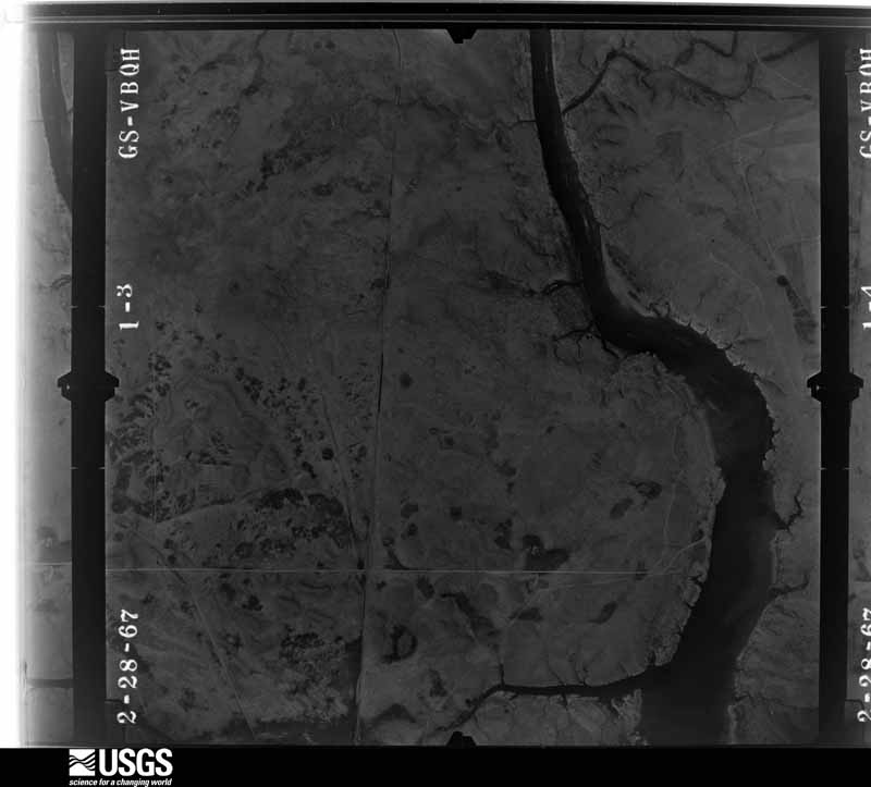
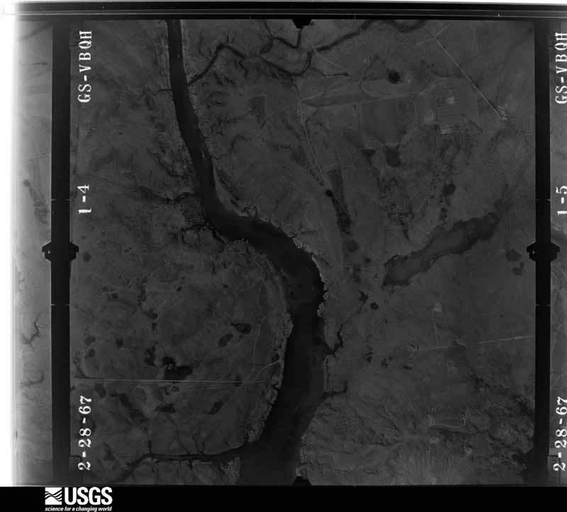
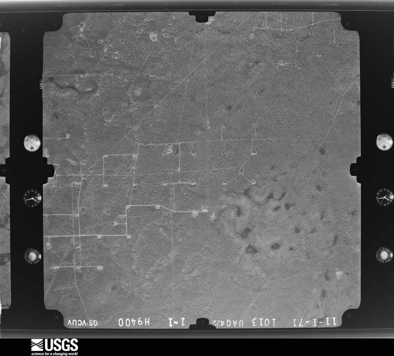
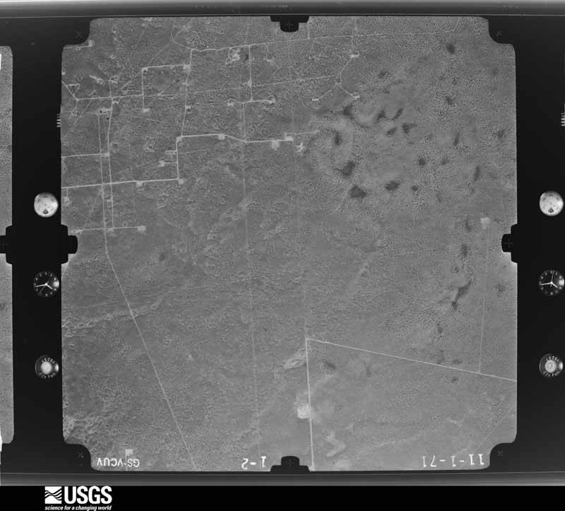
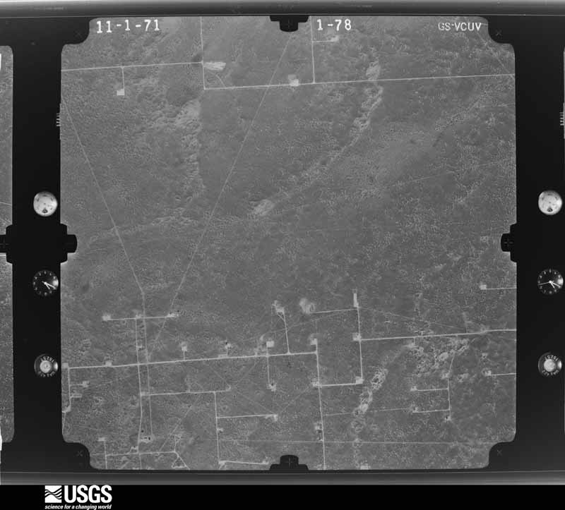
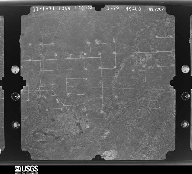
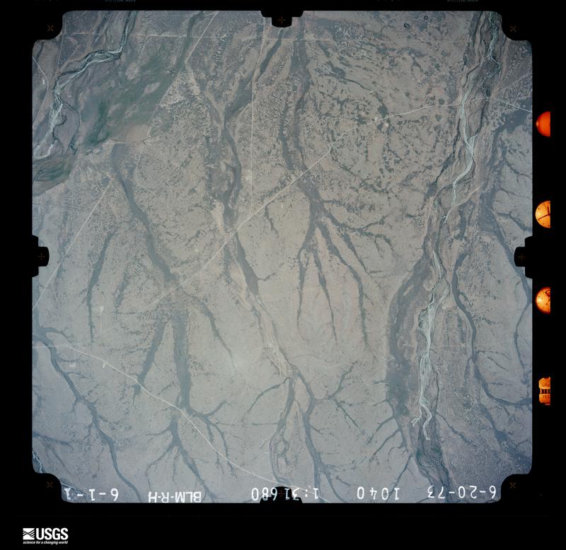
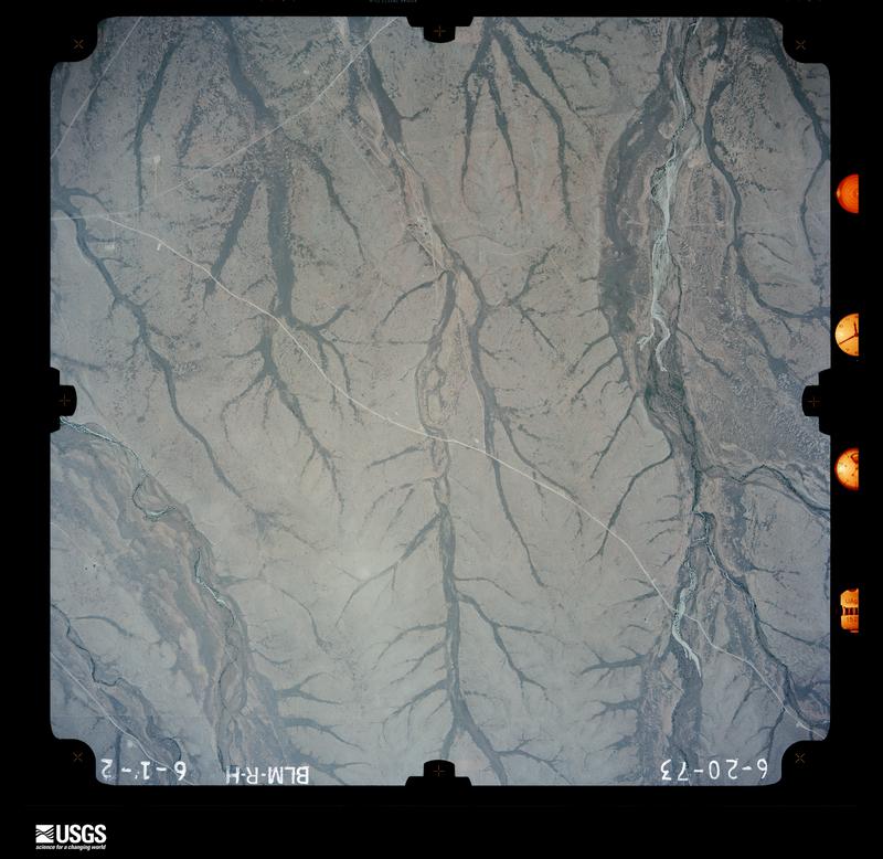
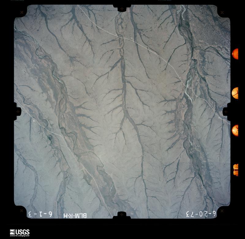
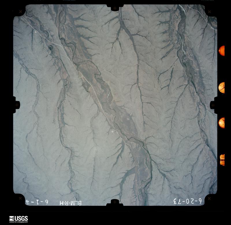
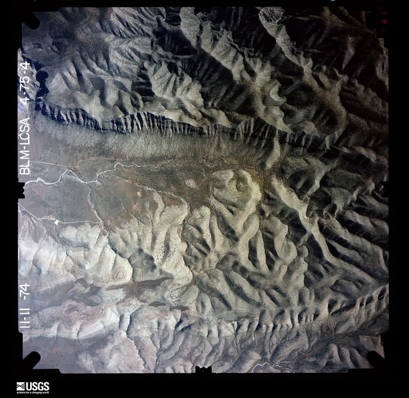
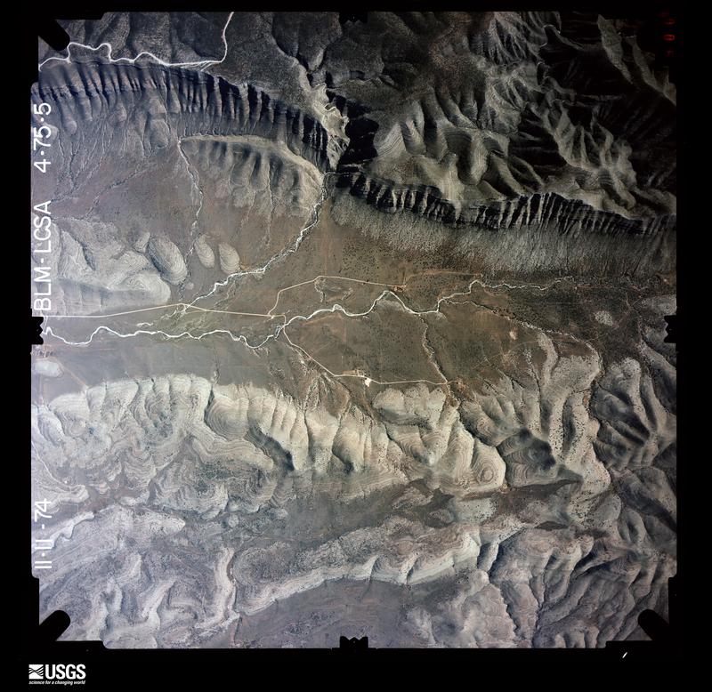
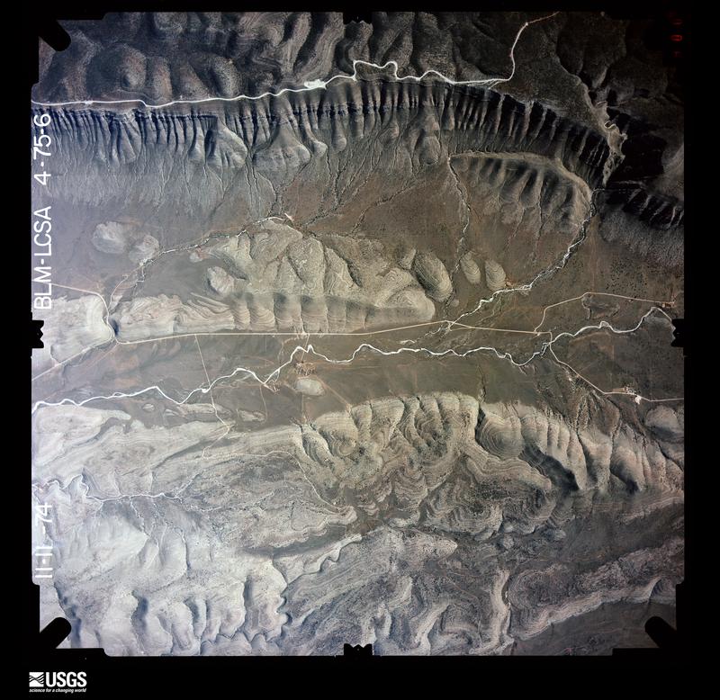
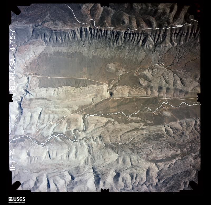
Flown by the U.S. Geological Survey between 1937 and 1989, the Aerial Photo Single Frames collection is the definitive mid-century view of the land: fields, roads and rivers as the camera saw them. The Survey holds 5,962 frames inside the rectangle that bounds this county; the 48 frames below were taken over the county itself, chosen across the decades of flights (at most four a year from that rectangle), so one flight cannot crowd out the rest. The full set is free to browse and download at EarthExplorer under the dataset Aerial Photo Single Frames.
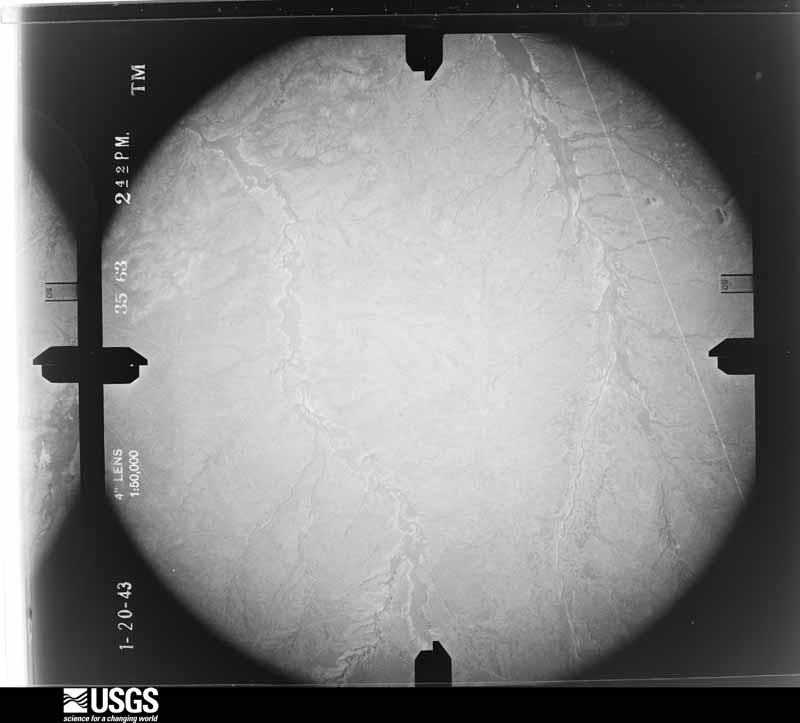
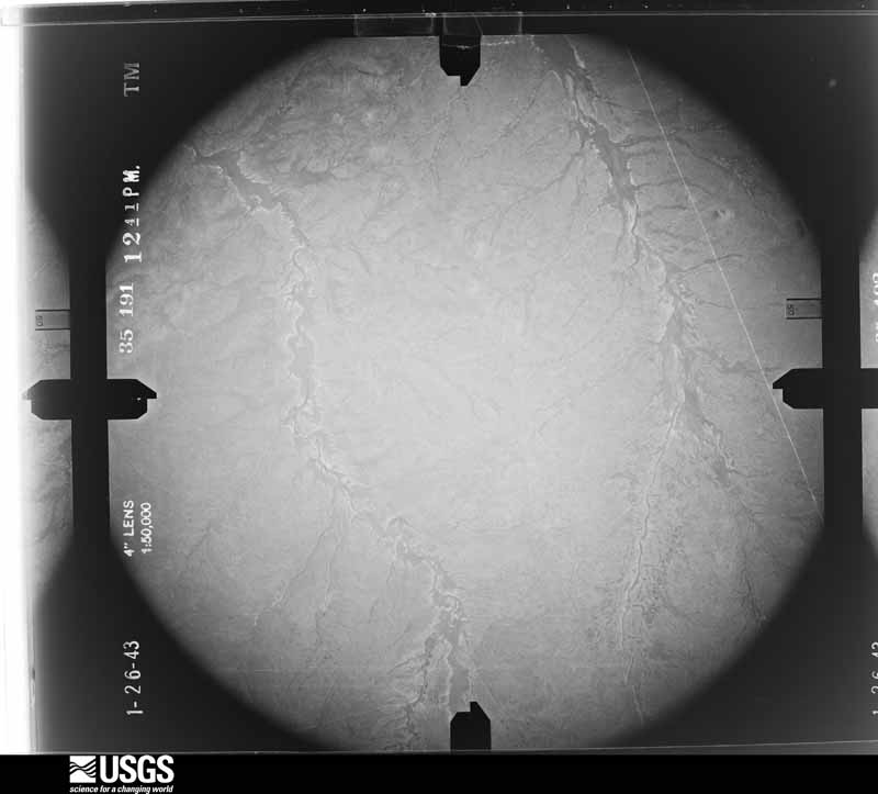
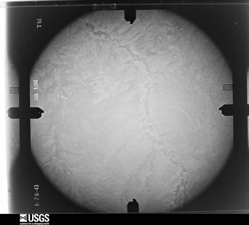
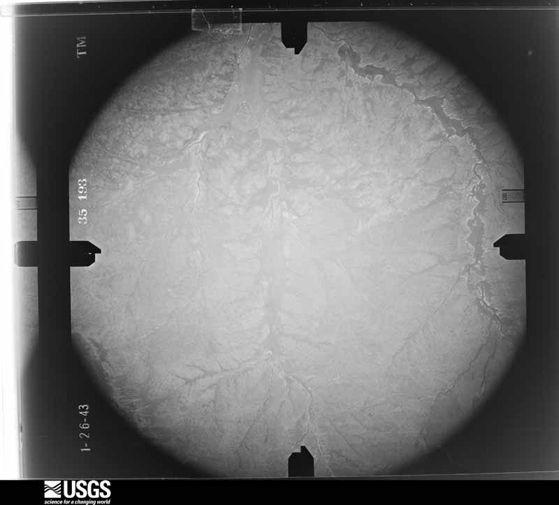
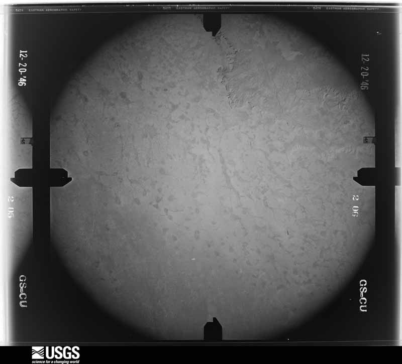
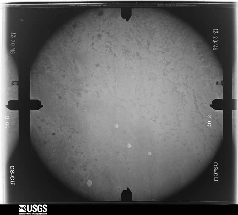
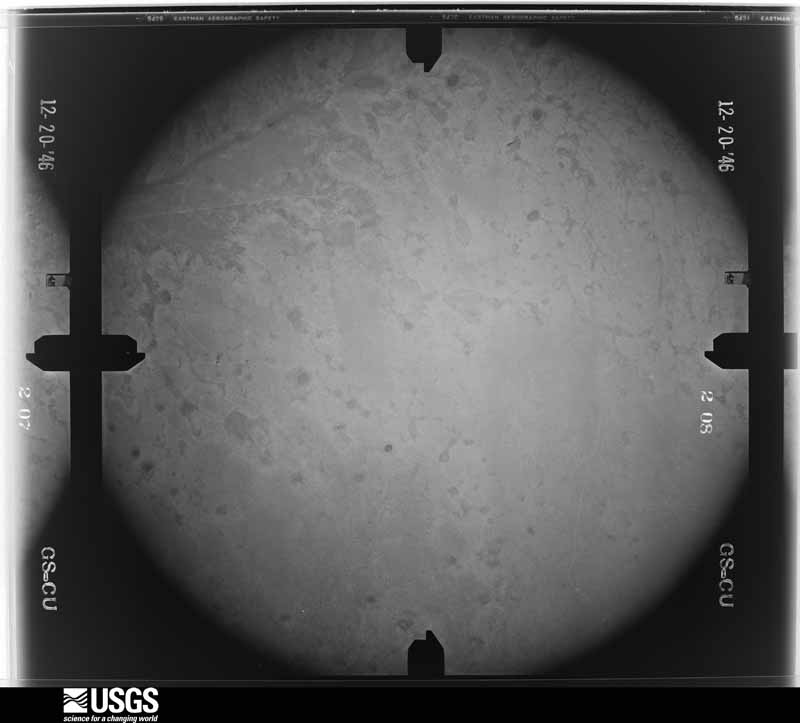
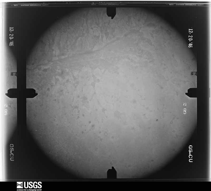
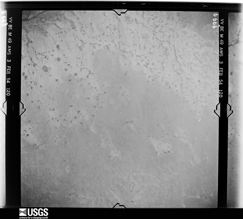
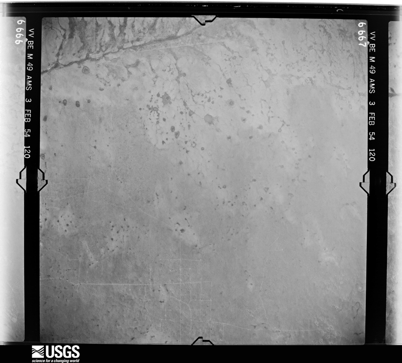
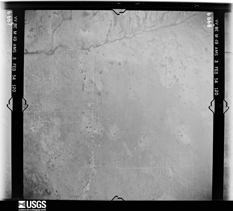
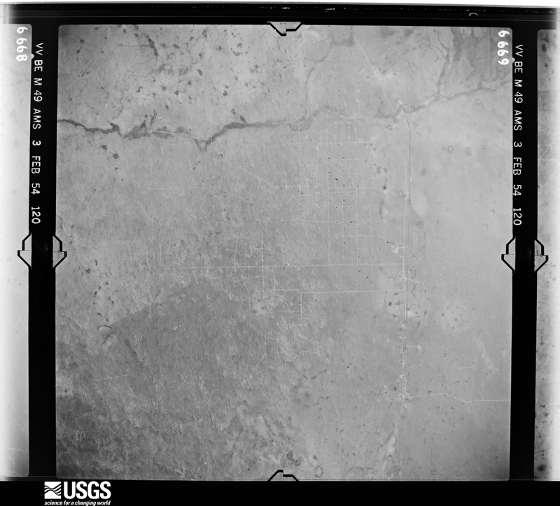
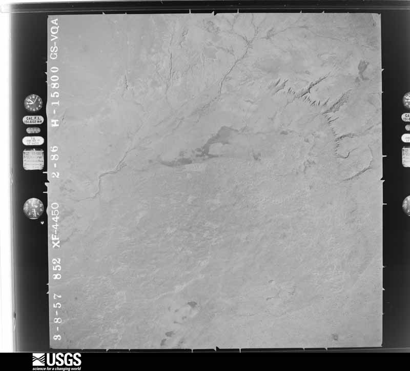
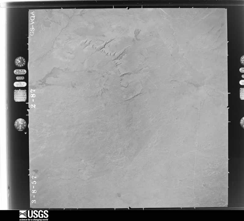
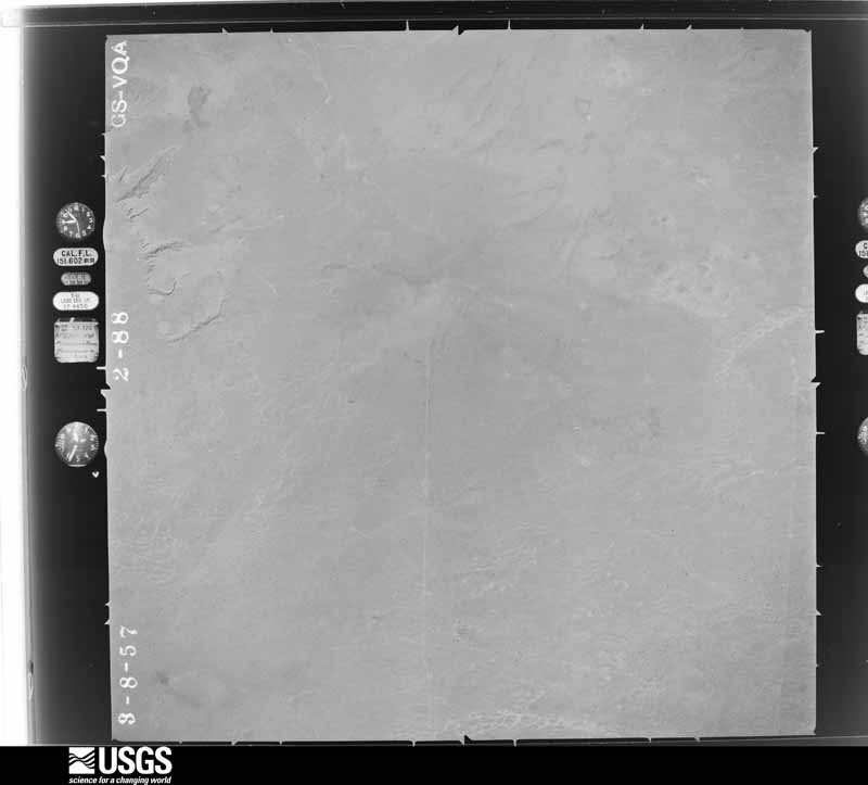
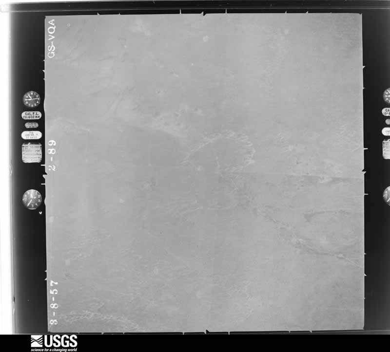
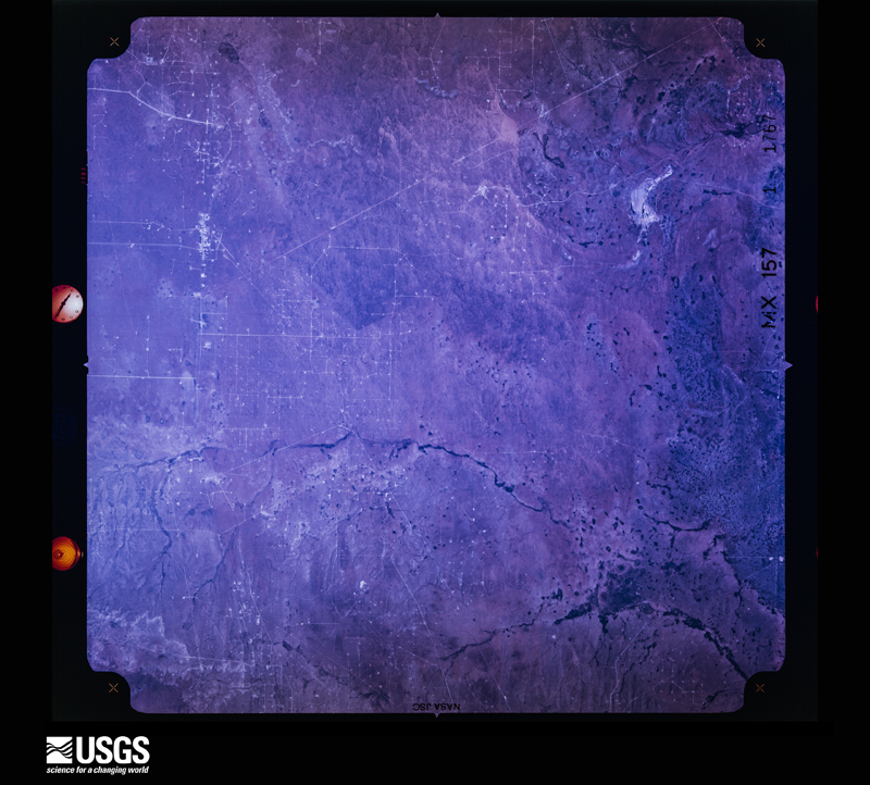
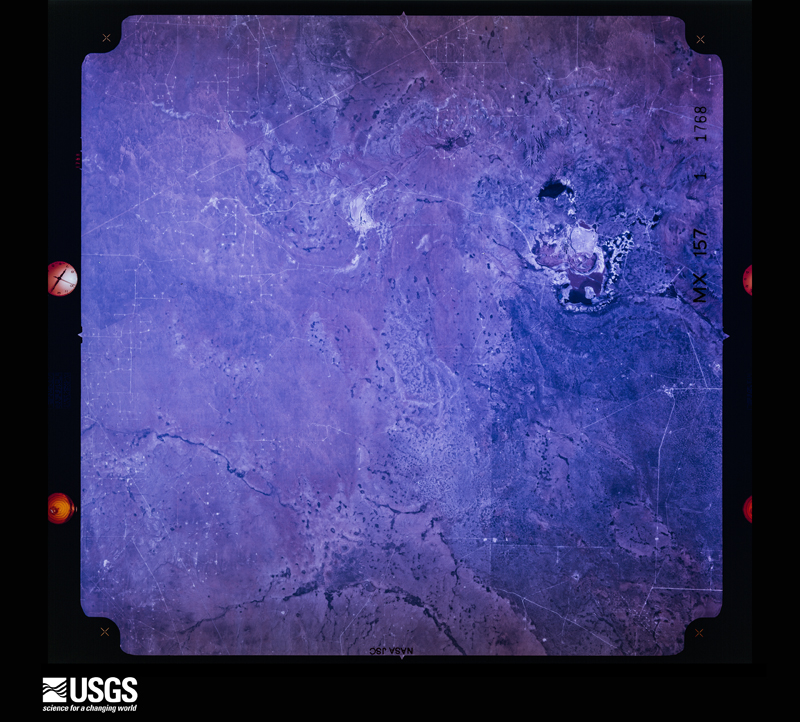
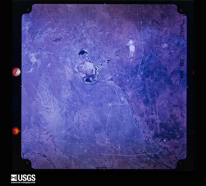
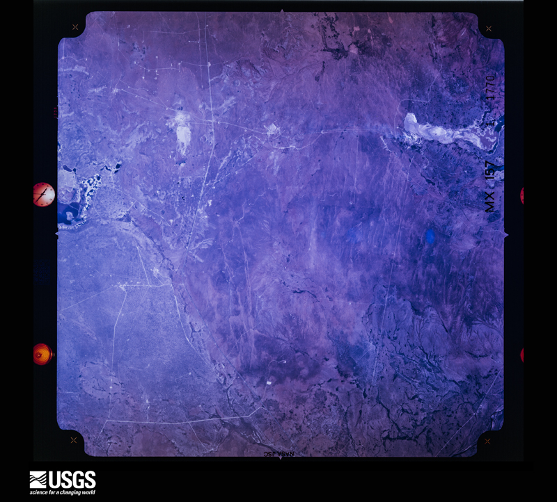
The thermometers that kept this county's weather, and the gages that measured the flow of its streams, as the federal records hold them. The extremes below are measured values from those records, not estimates.
Who lived here in 1950, one enumeration district at a time, as the Census Bureau described each district. Each row opens its official National Archives result, with Population Schedules and ED Maps available there.
Every wildfire the federal occurrence database records inside this county: 1,448 of them, burning about 207,675 acres. 306 started naturally and 35 were recorded as arson. Each settlement page carries the fires within five miles of it.
| Reported cause | Fires |
|---|---|
| Missing data/not specified/undetermined | 664 |
| Natural | 306 |
| Equipment and vehicle use | 178 |
| Debris and open burning | 83 |
| Power generation/transmission/distribution | 66 |
| Recreation and ceremony | 43 |
| Arson/incendiarism | 35 |
| Smoking | 34 |
| Fireworks | 11 |
| Railroad operations and maintenance | 11 |
| Other causes | 10 |
| Firearms and explosives use | 5 |
| Misuse of fire by a minor | 2 |
The five largest, by the area the report gives. One of them was set deliberately.
| Date | Cause | Size | Reported by | Name on the report |
|---|---|---|---|---|
| 24 April 2011 | Recreation and ceremony | 53,342 acres | Carlsbad Field Office | LAST CHANCE |
| 13 June 2011 | Arson/incendiarism | 30,487 acres | Carlsbad Caverns National Park | LOOP |
| 16 May 2010 | Natural | 17,309 acres | Carlsbad Caverns National Park | NEW |
| 8 August 2019 | Natural | 10,050 acres | Capitan District | 20-50410177N |
| 5 June 2011 | Natural | 8,157 acres | Carlsbad Field Office | SERPENTINE |
| 7 August 2011 | Natural | 7,528 acres | Carlsbad Field Office | TOMS CANYON |
| 29 June 2012 | Natural | 7,287 acres | Lincoln National Forest | HORSE CANYON |
| 22 May 2018 | Natural | 5,750 acres | Lincoln National Forest | KELLAR |
Every settlement page carries the fires within five miles of it - see the settlement index below.
The NOAA Storm Events Database holds 1,067 reports for this county, causing 5 deaths, 47 injuries and about $21,899,660 in recorded property damage. Each settlement page carries the reports that name it.
| Kind of event | Reports |
|---|---|
| Hail | 548 |
| Thunderstorm Wind | 218 |
| Flash Flood | 217 |
| Tornado | 59 |
| Flood | 14 |
| Heavy Rain | 5 |
| Funnel Cloud | 4 |
| Lightning | 2 |
The most serious of them, by death, then injury, then recorded damage. The accounts are quoted exactly as the forecast office filed them.
| When | Event | Place named | Harm | What the report says |
|---|---|---|---|---|
| June 1992 | Hail | not stated | 1 killed, 3 hurt | no account filed |
| March 1990 | Thunderstorm Wind | not stated | 1 killed, 2 hurt | no account filed |
| September 2014 | Flash Flood | Whites City | 1 killed, $40,000 | Heavy rain fell across Eddy County and produced flash flooding near Whites City. Two vehicles were washed off of Whites City Road about 0.9 miles east northeast of Carlsbad Caverns Visitor Center. The two vehicles were trying to cross a low lying section of the road when the flood waters caused the vehicles to lose control. The driver of the first vehicle was able to get out of the vehicle. The driver of the second vehicle swam to safety. The passenger of the second vehicle was reported missing and the body was later found. This flooding resulted in one fatality. The cost of damage is a very rough estimate. |
| June 2021 | Flash Flood | Carlsbad | 1 killed, $30,000 | Heavy rain resulted in flash flooding near Carlsbad. Law enforcement officials reported a fatality of a gentleman whose vehicle got swept away by flash flood waters. The cost of damage is a very rough estimate. |
| April 1988 | Thunderstorm Wind | not stated | 1 killed | no account filed |
| May 1991 | Tornado (F2) | not stated | 21 hurt, $2,500,000 | no account filed |
| June 1992 | Tornado (F2) | not stated | 6 hurt, $250,000 | no account filed |
| June 1992 | Thunderstorm Wind | not stated | 4 hurt | no account filed |
| April 1976 | Tornado (F2) | not stated | 2 hurt, $25,000 | no account filed |
| September 2016 | Hail | Artesia | 2 hurt | A thunderstorm moved across Eddy County and produced baseball sized hail from the Artesia Airport to two miles south of Artesia. There were two head injuries reported due to the hail between 4 and 4:30 pm MDT. |
| August 1992 | Hail | not stated | 2 hurt | no account filed |
| July 2004 | Flash Flood | Carlsbad | 1 hurt, $75,000 | As runoff and additional heavy rainfall continued, flash flood conditions began to spread northeast across Eddy County along the many draws, creeks, and arroyos. By 09:30 MST local officials reported that Rocky Arroyo was flooding U.S. Highway 285 with four to six feet of flowing water northwest of Carlsbad. The typically narrow low water crossing inundated over 100 yards of the federal highway. Later reports confirmed that Rocky Arroyo also was flooding major highways west of the city. At 14:10 MST, over eight feet of flowing water covered State Highway 137 west of Carlsbad.At 15:25 MST emergency officials responded to the site of a distressed driver near the upper part of Rocky Arroyo at County Road 406 ten miles west-southwest of Carlsbad. There emergency officials worked to rescue a truck driver that became stranded in rushing flood waters. An hour later, the trucker was lifted to safety by a military rescue helicopter from Fort Bliss. He was treated at a Carlsbad hospital for minor injuries. |
| July 2004 | Flash Flood | Queen | 1 hurt, $25,000 | Fifteen hour rainfall totals along the Texas and New Mexico border over Guadalupe Mountains National Park (generally over the Texas portion of the mountain chain) exceeded four inches at several observing stations. Runoff along steep mountainous terrain through numerous canyons and draws combined with additional thunderstorm development over the adjacent plains of Eddy County to result in life threatening flash flood conditions.The first reports of flash flooding were received around 07:00 MST Sunday, July 25th when rural residents north of Queen said Dark Canyon Draw was flooding several secondary roadways. A motorist, an elderly man, became trapped by raging flood waters at Sitting Bull Falls northeast of Queen sometime between 07:00 and 08:00 MST. Forced to climb on top of the car to escape the rising flood waters, the gentleman remained isolated for several hours. Members of the Queen Fire Department finally reached the trapped driver shortly after 11:00 MST and moved him to the safety of higher ground. Hypothermic and suffering exposure injuries, the victim was airlifted to a medical facility for treatment.Emergency officials and storm spotters continued to report flash flooding along Dark Canyon Draw and Last Chance Canyon through the afternoon and evening. Several rural roadways remained closed for the remainder of the day as water rushed through low water crossings. |
| June 2000 | Thunderstorm Wind | Artesia | 1 hurt, $15,000 | Strong winds blew over a mobile home and rolled it approximately 25 feet. A man and a dog were inside the mobile home. The man was treated at a local hospital for a minor concussion and multiple bruises. A storage building (10x12 ft) was also blown over during the event. |
| August 2004 | Lightning | Carlsbad | 1 hurt | A man was transported to a local hospital after being severely injured by lightning. The injury occurred on Forest Drive in the city of Carlsbad. |
| September 1985 | Thunderstorm Wind | not stated | 1 hurt | no account filed |
| March 2010 | Hail | Carlsbad | $7,000,000 | Significant hail damage was observed at car dealerships located north of Church Street in Carlsbad. Although there were specific reports of roof damage, an exact number of homes impacted could not be established and this portion of the property damage was roughly estimated. |
| April 2004 | Flash Flood | Whites City | $2,000,000 | During the evening of April 3rd, a National Weather Service spotter reported Dark Canyon Road, five miles east of State Highway 137, was under seven feet of water. Additional flooding over southwestern portions of Carlsbad was reported by local law enforcement and the public. Just after midnight, early Sunday morning, U.S. Highway 285 became impassable due to flooding ten miles northwest of Carlsbad. Flooding along County Roads 658 and 672 southwest of Carlsbad resulted in several evacuations and helicopter rescues during the early morning hours on Sunday along Dark Canyon Draw. As late as Sunday afternoon, flooding of low-lying areas around Carlsbad continued along the Pecos River, as well as along Dark Canyon, Dagger, Rocky Arroyo, and Hackberry Draws.An Eddy County flood survey revealed that three different factors contributed to the record flooding in and near Carlsbad. Flood waters from Rocky Arroyo Draw fed into the Pecos River north of Avalon Reservoir. This flow along with heavy rainfall from thunderstorms resulted in a required release of water from the Avalon Reservoir. Radar estimated rainfall totals of three to four inches near and west of Avalon Reservoir between 900 PM MST on April 3rd through 100 AM MST on Sunday, April 4th. Releases from the reservoir began near 800 PM MST on April 3rd, with a measured peak rate of 14,800 cfs (cubic-feet per second) at around 400 AM MDT Sunday morning. This release of water eliminated the potential danger of a dam failure, but resulted in the washout of Callaway Drive just downstream from the release point on Avalon Reservoir. The second factor contributing to the record flooding was extremely high flow through the Dark Canyon Draw into downtown Carlsbad. Radar estimated rainfall totals of one to three inches over and southwest of Dark Canyon Draw during the evening and overnight hours of Saturday April 3rd. This rainfall led to catastrophic flash flooding along the Dark Canyon Draw from southwest portions of Carlsbad into the downtown area. A wall of water moved down Dark Canyon Draw at approximately 130 AM MST Sunday morning. The third factor that contributed to the flooding was the failure at several points of the Carlsbad Irrigation District (CID) canals. These CID channels, used primarily to irrigate area alfalfa fields, began failing due to runoff crossing perpendicular to the CID channels. This runoff was due to 8-12 inches of rainfall in the previous three days. Erosion of the channels began occurring due to the high volume of water flowing over them. As the channels finally failed, water flowed into adjacent neighborhoods. The community hardest hit by this runoff was the La Huerta neighborhood in northeastern Carlsbad. As a result of this flooding, 6 to 12 inches of water was left standing throughout most of the La Huerta area with higher amounts at isolated points. |
| May 1995 | Hail | Artesia | $1,500,000 | Dime-size hail was first reported by the New Mexico State Police. Shortly afterward, a SKYWARN spotter reported golf ball-size hail that pounded much of Artesia. Numerous cars had broken windshields and large dents in their bodies, and roofs of houses received heavy damage as well. |
| May 1995 | Hail | Artesia | $1,500,000 | no account filed |
| September 2016 | Hail | Artesia | $1,000,000 | A thunderstorm moved across Eddy County and produced baseball sized hail in Artesia. The Artesia Airport Manager reported extensive damage to vehicles and hangars. There was also widespread damage to cars and homes in Artesia. The cost of damage is a very rough estimate. |
| May 2005 | Hail | Carlsbad | $700,000 | A large swath of penny to golfball size hail affected the area from four miles southwest of Carlsbad, northeastward over the city, to approximately six miles east-southeast along New Mexico State Highway 128. Widespread damage to homes and businesses, including roof damage as well as broken windows and skylights, was reported. Additionally, many vehicles were damaged, including 200+ cars at two Carlsbad dealerships. |
| June 1997 | Thunderstorm Wind | Loving | $600,000 | Very intense severe thunderstorm pummelled Loving, especially the southeast part of town, with hail up to golfball size and 60-65 mph winds. Numerous windows were broken out of homes by the fast-moving hail. Also, tree damage ranged from being uprooted to losing large branches, to being stripped of all their leaves. A few power poles were blown down as well. The damage covered about a 10 city block area. One mobile home was considered totaled by an insurance company. The storm moved southeast but weakened as it approached Malaga. |
| October 2012 | Hail | Artesia | $500,000 | A thunderstorm moved over Eddy County and produced baseball sized hail on the north side of Artesia along Highway 285 and State Road 2. There was roof and car damage reported. The cost of damage is a rough estimate. |
| August 2004 | Thunderstorm Wind | Carlsbad | $500,000 | A linear bow-shaped complex of severe storms swept southeast across Eddy County during the late evening of the 12th. These storms resulted in widespread wind damage as they affected Carlsbad, Loving, and Malaga. Numerous trees, utility lines, and dozens of power poles were downed by the storms. Several trailers and other light structures also sustained damage. A National Weather Service damage assessment team also found wind damage to area agricultural crops. A wind gust of 78 MPH was recorded by the Carlsbad Municipal Airport ASOS at 21:39 MST. No injuries were reported. |
| September 2014 | Flood | Carlsbad | $300,000 | Heavy rain fell across Eddy County and produced flash flooding in Carlsbad. Water was into the back of houses on James Street in the Lower Tansil Dam area. The cost of damage is a very rough estimate. |
| September 1983 | Tornado (F0) | not stated | $250,000 | no account filed |
| July 1981 | Tornado (F1) | not stated | $250,000 | no account filed |
| June 2010 | Hail | Loco Hills | $200,000 | Several homes, vehicles and tractors had their windows broken by the hail. In addition, damage was also done to roofs and siding on homes. |
| June 2010 | Thunderstorm Wind | Atoka | $180,000 | Several side roll irrigation sprinklers were destroyed by a strong wind gust in Atoka, NM. The time of this report was estimated according to radar and another wind gust recorded by the Artesia ASOS. |
| June 2013 | Flash Flood | Carlsbad | $160,000 | Heavy rain moved across Eddy County and produced flash flooding in Carlsbad. Water breached a canal and flooded sixteen homes with one foot of water. The cost of damage is a rough estimate. |
| May 2005 | Hail | Carlsbad | $150,000 | Golfball hail with sporadic tennis ball size hailstones were reported in Carlsbad. Several skylights were broken and vehicles were damaged along the Pecos River just south of the downtown area. |
| May 2005 | Flash Flood | Carlsbad | $150,000 | The public reported up to two feet of water flowing over New Mexico Route 31 in eastern Eddy County at 22:09 MDT. By 22:45 MDT, local law enforcement officials had closed the highway to through traffic. Flood waters washed out 150 feet of railroad track that parallels the state route. Rail traffic was halted for more than a week until crews were able to repair the damage. |
| June 2018 | Hail | Loving | $100,000 | A thunderstorm moved across Eddy County and produced tennis ball sized hail sixteen miles east northeast of Loving. There were a lot of broken windows and several dented vehicles at WIPP. The cost of damage is a very rough estimate. |
| September 2006 | Flash Flood | Carlsbad | $100,000 | Six inches of water was flowing across the intersection of U.S. Highway 62/180 and New Mexico Highway 31 and over U.S. Highway 285 from Carlsbad to five miles north of Carlsbad. Six to eight inches of water was flowing over the intersection of U.S. Highway 62/180 and New Mexico Highway 360. One to two feet of water was running over many roads in northern and central Carlsbad. In addition, a resident reported water flowing into his basement. Later in the evening, two feet of water was reported flowing over the intersection of Main and Green Streets. Floodwaters also were beginning to invade homes in the La Huerta area of northeastern Carlsbad. Three feet of water were running over New Mexico Highway 128, seven miles east of that highway's intersection with New Mexico Highway 31. A vehicle was stranded in the high water and traffic was unable to drive through this location safely. Floodwaters continued to inundate basements in eastern portions of Carlsbad and vehicles continued to get swept up by high water on city streets. New Mexico Highway 524 was barricaded because of high water between U.S. Highway 285 and Lea Street on the south side of Carlsbad. |
| May 2005 | Hail | Carlsbad | $100,000 | Hen egg size hailstones mixed with smaller hail just south of downtown Carlsbad. Storm spotters and local officials reported damage to area vehicles and homes. |
| July 2004 | Flash Flood | Carlsbad | $100,000 | At 20:30 MST an automated river gauge recorded an eight foot flood wave propagating down Dark Canyon Draw and approaching Carlsbad. This wave was the result of runoff and excessively heavy rains over the Guadalupe Mountains and adjacent plains during the course of the previous twenty-four hours. By 21:10 MST several low water crossings in the city were flowing with flood waters four feet deep and seventy-five to 100 yards wide. This threatened homes and property in parts of the city. Local officials reported water running above the curbs in most city streets at 22:15 MST. Damage was minimal and no injuries were reported. |
| April 2005 | Hail | Artesia | $70,000 | Numerous reports of golfball size hail were received as an isolated supercell storm propagated southeast over portions of northern Eddy County during the late afternoon and early evening hours of the 17th. The swath of damaging hail began at the Eddy and Chaves County line nine miles north of Artesia along New Mexico Highway 351, and ended as the storm weakened over rural northeastern Eddy County.The most significant damage was reported between Artesia and the Eddy and Chaves County line. At least four residences suffered roof damage and broken windows. Four vehicles also were heavily damaged, including a New Mexico State Police cruiser and a welding truck. Several reports indicated that the duration of hail fall exceeded thirty minutes at some homesteads. Hail accumulated to depths of eight inches at some locales along the storm's path. Traffic along U.S. Highway 285 and New Mexico Highway 351 was reportedly at a stand still in the wake of the storm as hail covered the driving surfaces and created hazardous driving conditions. |
| August 2024 | Flash Flood | (Cnm)Carlsbad Arpt | $50,000 | Eddy County Emergency Management reported three swift water rescues from the Dark Canyon Arroyo and multiple road closures. The cost of property damage is an estimation. |
| June 2005 | Flash Flood | Carlsbad | $50,000 | Several reports of flash flooding were received from central and northeastern Eddy County. More than eighteen inches of water was reported flowing over Eddy County Road 34 northeast of Carlsbad. Ranchers reported that approximately two inches of rain fell over thirty minutes. A few rural ranch homes in the area sustained minor damage when flood waters entered the structures. |
| August 2004 | Flash Flood | Carlsbad | $50,000 | Law enforcement officials and trained storm spotters reported flash flooding that inundated numerous city streets with flowing flood waters. The floods damaged at least one business when up to half a foot of water entered a local hotel. In addition, several area highways were deemed impassable due to high water. State Highway 137 was completely submerged by flood waters near the intersection of U.S. Highway 285. No injuries were reported. |
| September 2004 | Flash Flood | Queen | $50,000 | The widespread heavy rainfall had spread northwest across Eddy County by sunrise Sunday morning. Flash flooding quickly developed along the numerous creeks and draws that transport water from the mountainous areas of southwestern Eddy County toward Carlsbad. At 08:53 MST local officials reported that two and a half feet of flowing water crossed New Mexico State Highway 137 fifteen miles northeast of Queen. By 09:55 MST heavy rainfall over Carlsbad had resulted in more than half a foot of water covering many city streets.Conditions deteriorated through the day as continued heavy rainfall combined with runoff that emptied into Carlsbad through Dark Canyon Draw. By 11:25 MST, several reports indicated that vehicles were stalled in flooded city streets. Additional stranded motorists were rescued from swiftly moving flood waters on Dark Canyon Road near County Road 408 southwest of the city. That intersection was inundated by over seven feet of rapidly flowing water. No injuries were reported.Water running through Dark Canyon Draw continued to enter the southwest side of Carlsbad through late afternoon. At 16:30 MST over six feet of flowing water crossed Hidalgo Street and Dark Canyon Road. Flood waters gradually receded in Carlsbad through the evening hours. By 19:00 MST the heavy rainfall had ended, but the swollen Dark Canyon Draw continued to flood city streets in southwestern Carlsbad with four feet of water. The Carlsbad Police Department reported that all flooding in and around Carlsbad had subsided by 01:00 Monday. |
| October 2004 | Thunderstorm Wind | Loco Hills | $50,000 | A utility pole was blown onto a pickup truck by severe thunderstorm winds in Loco Hills. In addition, minor roof damage to several structures and broken tree limbs up to four inches in diameter also were reported. |
| December 1993 | Thunderstorm Wind | Artesia | $50,000 | no account filed |
| May 1993 | Thunderstorm Wind | Carlsbad | $50,000 | no account filed |
| June 2009 | Hail | Artesia | $40,000 | Cotton and alfalfa crops were damaged near Atoka, NM. The Quentin Rogers cotton fields were stripped down to bare ground, while a 3 foot tall hay field near East Blevins Road and Highway 385 was stripped down to 10 inches tall. |
| July 2005 | Thunderstorm Wind | Otis | $40,000 | Power outages were reported throughout Otis as a result of downed power lines from thunderstorm winds. |
| August 2005 | Thunderstorm Wind | Artesia | $35,000 | A National Weather Service trained spotter reported that a mobile home was blown over. |
| October 1997 | Thunderstorm Wind | Otis | $35,000 | A fast moving storm with downbursting winds caused damage that started south of the Otis community and moved northward into Otis. The storm moved from about 200 degrees at 30 knots with all of the debris from the damage being blown in this direction. The storm first hit two trailers about 4 miles south of Otis. Tie-down straps held one trailer in place but sustained a few broken windows and a warped door. The other (unstrapped) trailer was blown over and rolled by the strong winds resulting in its destruction. The trailer rolled two times with the floor sitting upright displaced 35 yards to the north in a field. Most of the roof was torn off and was crumpled about 100 yards farther north in the field.The next area to suffer damage was 2-3 miles to the NNW of the trailers where a row of 30 foot trees along a property line were uprooted. Next, the winds hit a 3 year old house and ripped off about half of its tin roof. As the storm moved into Otis, the strong winds snapped a string of telephone poles along U.S. Highway 285.A damage survey of the area determined an affected area 4 miles long and 1.5 miles wide. Several houses within the damage area sustained no visible damage. All debris was blown from about 190-195 degrees and was only very slightly divergent. |
| September 2019 | Flash Flood | Carlsbad | $30,000 | Heavy rain fell across Eddy County and produced flash flooding in Carlsbad. There were numerous water rescues with vehicles being abandoned. Nearly every low water crossing across Eddy County was under water. The cost of damage is a very rough estimate. |
| April 2004 | Hail | Carlsbad | $30,000 | Nickel to golf ball size hail was reported covering the ground in the city of Carlsbad. |
| April 2025 | Flash Flood | Loving | $25,000 | At 2:53 AM MDT, a swift water rescue was conducted near a low-water crossing at Black River near Black River Road. A vehicle was reported to have been swept downstream. No injuries were reported. The time is radar estimated. Property damage is an estimation. |
| April 2025 | Flash Flood | Loving | $25,000 | At 4:41 AM MDT, a swift water rescue was conducted at a low water crossing over the Black River along Higby Hole Road. No injuries were reported. The time is estimated using radar. The property damage is an estimation. |
| October 2023 | Flash Flood | Happy Vly | $25,000 | A car was flooded on State Highway 524 on the west side of Carlsbad. |
| July 2009 | Thunderstorm Wind | Black River | $25,000 | A roof was blown off of a home approximately 15 miles south of Carlsbad, NM. |
| June 2002 | Thunderstorm Wind | Carlsbad | $25,000 | A severe thunderstorm produced a microburst over the south side of Carlsbad. Local media reported part of the roof of a local convinience store was destroyed. |
| July 1996 | Thunderstorm Wind | Carlsbad | $25,000 | no account filed |
| October 1962 | Tornado (F0) | not stated | $25,000 | no account filed |
| September 2005 | Thunderstorm Wind | Carlsbad | $24,000 | A severe thunderstorm moved across rural portions of eastern Eddy county. Severe wind gusts downed six telephone poles. |
| May 2018 | Hail | Otis | $23,000 | A thunderstorm moved across Eddy County and produced two inch hail in Otis. Several homes had damage to windows and siding. The cost of damage is a very rough estimate. |
The Survey's mineral resources record lists 227 workings inside this county. 38 still produce and 189 are closed or unrecorded. Each settlement page carries the workings within five miles of it.
| Commodity | Workings |
|---|---|
| Sand and Gravel, Construction | 173 |
| Potassium | 33 |
| Salt | 9 |
| Sulfur | 3 |
| Bromine | 2 |
| Copper | 2 |
| Uranium | 2 |
| Bromine, Sodium | 1 |
| Bromine, Halite | 1 |
| Stone | 1 |
| Stone, Crushed/Broken | 1 |
| Gemstone | 1 |
| Gold | 1 |
| Iron | 1 |
The least common of them first, because a county's hundredth gravel pit says nothing its first ten did not.
| Where | Site | Commodity | Status | Recorded |
|---|---|---|---|---|
| Anna B Byrd | Gemstone | Unknown | ||
| Eddy County Pits | Stone, Crushed/Broken, Sand and Gravel, Construction | Unknown | ||
| Little Walt Canyon | Iron | Unknown | ||
| Materials Pit | Stone | Unknown | ||
| New Mexico Salt | Bromine, Halite | Producer | Brine, Halite | |
| Old Wallace Smith | Gold | Occurrence | ||
| Ozark-Mahoning Co. Brine Wells | Bromine, Sodium | Past Producer | 1951, 1957 | |
| Lepee Claims | Uranium | Prospect | ||
| Lone Eagle | Copper | Past Producer | ||
| Malaga Bend Experimental Salinity Alleviation Project | Bromine | Past Producer | 1963 | |
| Rocky Arroyo | Uranium | Prospect | ||
| Salt Lake | Bromine | Past Producer | Brine | |
| Unnamed Prospect | Copper | Occurrence | ||
| Artesia Plant | Sulfur | Producer | ||
| Empire Abo Sulfur Plant | Sulfur | Producer | ||
| Indian Basin Plant | Sulfur | Producer | ||
| Hobbs Highway | Salt | Unknown | ||
| International Minerals & Chemicals | Potassium, Salt | Producer | 1925, 1940 | |
| New Mexico Potash Corp. | Potassium, Salt | Producer | 1930, 1965 | |
| New Mexico Salt Company | Salt | Producer | ||
| Permian Potash Lease | Potassium, Salt | Plant | 1931 | |
| Salt Lake | Salt | Unknown | ||
| Salt Lake Mine | Salt | Producer | ||
| Salt Supply Company | Salt | Unknown | ||
| Townsite Salt | Salt | Unknown | ||
| (Facility) Amax Potash Refinery | Potassium | Plant | ||
| Amax Mine | Potassium | Producer | 1955, 1981 | |
| Amax Potash Corporation | Potassium | Producer | 1925, 1952 | |
| Carlsbad Potash District | Potassium | Producer | 1925, 1931, 1984 | |
| Duval Corporation Mine | Potassium | Producer | 1951 | |
| Duval Corporation North Mine | Potassium | Prospect | 1948, 1976 | |
| Duval Corporation Saunders Mine | Potassium | Past Producer | 1948, 1951 | |
| Duval Corporation Wills-Weaver Mi | Potassium | Past Producer | 1948, 1962 | |
| Eddy Potash | Potassium | Producer | 1925, 1934 | |
| Eddy Potash Inc. | Potassium | Producer | Sylvite | |
| Energy and Resources Development | Potassium | Unknown | ||
| Flotation Plant | Potassium | Producer | ||
| Getty Shaft | Potassium | Producer | ||
| Hobbs Mine | Potassium | Producer | 1965, 1981 | |
| Hodges Potash Property | Potassium | Plant | 1967 | |
| Horizon Potash | Potassium | Plant | 1948, 1952 | |
| Imcc Mine | Potassium | Producer | 1940, 1981 | |
| Imcc Plant | Potassium | Producer | ||
| International Minerals and Chemical Fertilizer, Inc. | Potassium | Producer | 1940 | |
| Mcc Mine | Potassium | Past Producer | 1974, 1981 | |
| Mississippi Chemical Corp. Mine | Potassium | Producer | 1931 | |
| Mississippi Chemical Mine | Potassium | Producer | 1925, 1931 | |
| Nash Draw | Potassium | Producer | 1961, 1962 | |
| Nash Draw Mine | Potassium | Producer | 1966 | |
| National Potash Company Eddy Mine | Potassium | Past Producer | 1925, 1965 | |
| Pca Mine | Potassium | Producer | 1934, 1981 | |
| Pca Mine | Potassium | Producer | ||
| Pca Plant | Potassium | Producer | ||
| Shafts 1 and 2 | Potassium | Producer | ||
| Unknown | Potassium | Past Producer | ||
| Artesia City Dump Pit | Sand and Gravel, Construction | Unknown | ||
| Carlsbad Pit | Sand and Gravel, Construction | Unknown | ||
| Constructors Pit | Sand and Gravel, Construction | Producer | ||
| Constructors Pit Inc. Crusher | Sand and Gravel, Construction | Producer | ||
| Constructors, Inc. Pit | Sand and Gravel, Construction | Producer | Sedimentary | |
| Eddy County Pits | Sand and Gravel, Construction | Producer | ||
| El Paso Gap | Sand and Gravel, Construction | Unknown | ||
| Hidalgo Pit | Sand and Gravel, Construction | Producer | Sedimentary | |
| Materials Pit | Sand and Gravel, Construction | Unknown | ||
| Materials Pit | Sand and Gravel, Construction | Unknown | ||
| Materials Pit | Sand and Gravel, Construction | Unknown | ||
| Materials Pit | Sand and Gravel, Construction | Unknown | ||
| Materials Pit | Sand and Gravel, Construction | Unknown | ||
| Materials Pit | Sand and Gravel, Construction | Unknown | ||
| Materials Pit | Sand and Gravel, Construction | Unknown | ||
| Materials Pit | Sand and Gravel, Construction | Unknown | ||
| Materials Pit | Sand and Gravel, Construction | Unknown | ||
| Materials Pit | Sand and Gravel, Construction | Unknown | ||
| Materials Pit | Sand and Gravel, Construction | Unknown | ||
| Materials Pit | Sand and Gravel, Construction | Unknown | ||
| Materials Pit | Sand and Gravel, Construction | Unknown | ||
| Materials Pit | Sand and Gravel, Construction | Unknown | ||
| Materials Pit | Sand and Gravel, Construction | Unknown | ||
| Materials Pit | Sand and Gravel, Construction | Unknown | ||
| Materials Pit | Sand and Gravel, Construction | Unknown | ||
| Materials Pit | Sand and Gravel, Construction | Unknown | ||
| Materials Pit | Sand and Gravel, Construction | Unknown | ||
| Materials Pit | Sand and Gravel, Construction | Unknown | ||
| Materials Pit | Sand and Gravel, Construction | Unknown | ||
| Materials Pit | Sand and Gravel, Construction | Unknown | ||
| Materials Pit | Sand and Gravel, Construction | Unknown | ||
| Materials Pit | Sand and Gravel, Construction | Unknown | ||
| Materials Pit | Sand and Gravel, Construction | Unknown | ||
| Materials Pit | Sand and Gravel, Construction | Unknown | ||
| Materials Pit | Sand and Gravel, Construction | Unknown | ||
| Materials Pit | Sand and Gravel, Construction | Unknown | ||
| Materials Pit | Sand and Gravel, Construction | Unknown | ||
| Materials Pit | Sand and Gravel, Construction | Unknown | ||
| Materials Pit | Sand and Gravel, Construction | Unknown | ||
| Materials Pit | Sand and Gravel, Construction | Unknown | ||
| Materials Pit | Sand and Gravel, Construction | Unknown | ||
| Materials Pit | Sand and Gravel, Construction | Unknown | ||
| Materials Pit | Sand and Gravel, Construction | Unknown | ||
| Materials Pit | Sand and Gravel, Construction | Unknown | ||
| Materials Pit | Sand and Gravel, Construction | Unknown | ||
| Materials Pit | Sand and Gravel, Construction | Unknown | ||
| Materials Pit | Sand and Gravel, Construction | Unknown | ||
| Materials Pit | Sand and Gravel, Construction | Unknown | ||
| Materials Pit | Sand and Gravel, Construction | Unknown | ||
| Materials Pit | Sand and Gravel, Construction | Unknown | ||
| Materials Pit | Sand and Gravel, Construction | Unknown | ||
| Materials Pit | Sand and Gravel, Construction | Unknown | ||
| Materials Pit | Sand and Gravel, Construction | Unknown | ||
| Materials Pit | Sand and Gravel, Construction | Unknown | ||
| Materials Pit | Sand and Gravel, Construction | Unknown | ||
| Materials Pit | Sand and Gravel, Construction | Unknown | ||
| Materials Pit | Sand and Gravel, Construction | Unknown | ||
| Materials Pit | Sand and Gravel, Construction | Unknown | ||
| Materials Pit | Sand and Gravel, Construction | Unknown | ||
| Materials Pit | Sand and Gravel, Construction | Unknown | ||
| Materials Pit | Sand and Gravel, Construction | Unknown | ||
| Materials Pit | Sand and Gravel, Construction | Unknown | ||
| Materials Pit | Sand and Gravel, Construction | Unknown | ||
| Materials Pit | Sand and Gravel, Construction | Unknown | ||
| Materials Pit | Sand and Gravel, Construction | Unknown | ||
| Materials Pit | Sand and Gravel, Construction | Unknown | ||
| Materials Pit | Sand and Gravel, Construction | Unknown | ||
| Materials Pit | Sand and Gravel, Construction | Unknown | ||
| Materials Pit | Sand and Gravel, Construction | Unknown | ||
| Materials Pit | Sand and Gravel, Construction | Unknown | ||
| Materials Pit | Sand and Gravel, Construction | Unknown | ||
| Materials Pit | Sand and Gravel, Construction | Unknown | ||
| Materials Pit | Sand and Gravel, Construction | Unknown | ||
| Materials Pit | Sand and Gravel, Construction | Unknown | ||
| Materials Pit | Sand and Gravel, Construction | Unknown | ||
| Materials Pit | Sand and Gravel, Construction | Unknown | ||
| Materials Pit | Sand and Gravel, Construction | Unknown | ||
| Materials Pit | Sand and Gravel, Construction | Unknown | ||
| Materials Pit | Sand and Gravel, Construction | Unknown | ||
| Materials Pit | Sand and Gravel, Construction | Unknown | ||
| Materials Pit | Sand and Gravel, Construction | Unknown | ||
| Materials Pit | Sand and Gravel, Construction | Unknown | ||
| Materials Pit | Sand and Gravel, Construction | Unknown | ||
| Materials Pit | Sand and Gravel, Construction | Unknown | ||
| Materials Pit | Sand and Gravel, Construction | Unknown | ||
| Materials Pit | Sand and Gravel, Construction | Unknown | ||
| Materials Pit | Sand and Gravel, Construction | Unknown | ||
| Materials Pit | Sand and Gravel, Construction | Unknown | ||
| Materials Pit | Sand and Gravel, Construction | Unknown | ||
| Materials Pit | Sand and Gravel, Construction | Past Producer | ||
| Materials Pit | Sand and Gravel, Construction | Unknown | ||
| Materials Pit | Sand and Gravel, Construction | Unknown | ||
| Materials Pit | Sand and Gravel, Construction | Unknown | ||
| Materials Pit | Sand and Gravel, Construction | Unknown | ||
| Materials Pit | Sand and Gravel, Construction | Unknown | ||
| Materials Pit | Sand and Gravel, Construction | Unknown | ||
| Materials Pit | Sand and Gravel, Construction | Unknown | ||
| Materials Pit | Sand and Gravel, Construction | Unknown | ||
| Rose Pit | Sand and Gravel, Construction | Producer | ||
| Sherrell Pit | Sand and Gravel, Construction | Unknown | ||
| Sweatt Pit | Sand and Gravel, Construction | Unknown | ||
| Unnamed Quarries | Sand and Gravel, Construction | Unknown | ||
| Unnamed Quarry | Sand and Gravel, Construction | Unknown | ||
| Unnamed Quarry | Sand and Gravel, Construction | Unknown | ||
| Unnamed Quarry | Sand and Gravel, Construction | Unknown | ||
| Unnamed Quarry | Sand and Gravel, Construction | Unknown | ||
| Unnamed Quarry | Sand and Gravel, Construction | Unknown | ||
| Unnamed Quarry | Sand and Gravel, Construction | Unknown | ||
| Unnamed Quarry | Sand and Gravel, Construction | Unknown | ||
| Unnamed Quarry | Sand and Gravel, Construction | Unknown | ||
| Unnamed Quarry | Sand and Gravel, Construction | Unknown | ||
| Unnamed Quarry | Sand and Gravel, Construction | Unknown | ||
| Unnamed Quarry | Sand and Gravel, Construction | Unknown | ||
| Unnamed Quarry | Sand and Gravel, Construction | Unknown | ||
| Unnamed Quarry | Sand and Gravel, Construction | Unknown | ||
| Unnamed Quarry | Sand and Gravel, Construction | Unknown | ||
| Unnamed Quarry | Sand and Gravel, Construction | Unknown | ||
| Unnamed Quarry | Sand and Gravel, Construction | Unknown | ||
| Unnamed Quarry | Sand and Gravel, Construction | Unknown | ||
| Unnamed Quarry | Sand and Gravel, Construction | Unknown | ||
| Unnamed Quarry | Sand and Gravel, Construction | Unknown | ||
| Unnamed Quarry | Sand and Gravel, Construction | Unknown | ||
| Unnamed Quarry | Sand and Gravel, Construction | Unknown | ||
| Unnamed Quarry | Sand and Gravel, Construction | Unknown | ||
| Unnamed Quarry | Sand and Gravel, Construction | Unknown | ||
| Unnamed Quarry | Sand and Gravel, Construction | Unknown | ||
| Unnamed Quarry | Sand and Gravel, Construction | Unknown | ||
| Unnamed Quarry | Sand and Gravel, Construction | Unknown | ||
| Unnamed Quarry | Sand and Gravel, Construction | Unknown | ||
| Unnamed Quarry | Sand and Gravel, Construction | Unknown | ||
| Unnamed Quarry | Sand and Gravel, Construction | Unknown | ||
| Unnamed Quarry | Sand and Gravel, Construction | Unknown | ||
| Unnamed Quarry | Sand and Gravel, Construction | Unknown | ||
| Unnamed Quarry | Sand and Gravel, Construction | Unknown | ||
| Unnamed Quarry | Sand and Gravel, Construction | Unknown | ||
| Unnamed Quarry | Sand and Gravel, Construction | Unknown | ||
| Unnamed Quarry | Sand and Gravel, Construction | Unknown | ||
| Unnamed Quarry | Sand and Gravel, Construction | Unknown | ||
| Unnamed Quarry | Sand and Gravel, Construction | Unknown | ||
| Unnamed Quarry | Sand and Gravel, Construction | Unknown | ||
| Unnamed Quarry | Sand and Gravel, Construction | Unknown | ||
| Unnamed Quarry | Sand and Gravel, Construction | Unknown | ||
| Unnamed Quarry | Sand and Gravel, Construction | Unknown | ||
| Unnamed Quarry | Sand and Gravel, Construction | Unknown | ||
| Unnamed Quarry | Sand and Gravel, Construction | Unknown | ||
| Unnamed Quarry | Sand and Gravel, Construction | Unknown | ||
| Unnamed Quarry | Sand and Gravel, Construction | Unknown | ||
| Unnamed Quarry | Sand and Gravel, Construction | Unknown | ||
| Unnamed Quarry | Sand and Gravel, Construction | Unknown | ||
| Unnamed Quarry | Sand and Gravel, Construction | Unknown | ||
| Unnamed Quarry | Sand and Gravel, Construction | Unknown | ||
| Unnamed Quarry | Sand and Gravel, Construction | Unknown | ||
| Unnamed Quarry | Sand and Gravel, Construction | Unknown | ||
| Unnamed Quarry | Sand and Gravel, Construction | Unknown | ||
| Unnamed Quarry | Sand and Gravel, Construction | Unknown | ||
| Unnamed Quarry | Sand and Gravel, Construction | Unknown | ||
| Unnamed Quarry | Sand and Gravel, Construction | Unknown | ||
| Unnamed Quarry | Sand and Gravel, Construction | Unknown | ||
| Unnamed Quarry | Sand and Gravel, Construction | Unknown | ||
| Unnamed Quarry | Sand and Gravel, Construction | Unknown | ||
| Unnamed Quarry | Sand and Gravel, Construction | Unknown | ||
| Unnamed Quarry | Sand and Gravel, Construction | Unknown | ||
| Unnamed Quarry | Sand and Gravel, Construction | Unknown | ||
| Unnamed Quarry | Sand and Gravel, Construction | Unknown | ||
| Unnamed Quarry | Sand and Gravel, Construction | Unknown | ||
| Unnamed Quarry | Sand and Gravel, Construction | Unknown | ||
| Unnamed Quarry | Sand and Gravel, Construction | Unknown | ||
| Unnamed Quarry | Sand and Gravel, Construction | Unknown | ||
| Unnamed Quarry | Sand and Gravel, Construction | Unknown | ||
| Unnamed Quarry | Sand and Gravel, Construction | Unknown | ||
| Unnamed Quarry | Sand and Gravel, Construction | Unknown | ||
| Unnamed Quarry | Sand and Gravel, Construction | Unknown |
Named settlements recorded in the Geographic Names Information System, each with the topographic sheets covering it. Villages, hamlets and abandoned places alike. Each is shown with the nearest named watercourse or landform and the survey quadrangle it falls on. The 2 places that were also surveyed for fire insurance come first, with the number of atlases and photographs held for them.
Artesia census division · 88210 · Artesia quadrangle
8 sheets, 1954 to 1978
Fire insurance: 4 atlases
Carlsbad census division · 88220 · By Wildcat Bluff · Carlsbad East quadrangle
11 sheets, 1939 to 1985
Fire insurance: 8 atlases
Artesia census division · 88210 · Near Tumbleweed Draw · Artesia quadrangle
8 sheets, 1954 to 1978
Carlsbad census division · 88220 · Near Deadman Draw · Azotea Peak quadrangle
11 sheets, 1943 to 1985
Carlsbad census division · 88220 · Near Threemile Draw · Black River Village quadrangle
11 sheets, 1945 to 1979
Carlsbad census division · 88220 · Near North Fork Little McKittrick Draw · Carlsbad West quadrangle
12 sheets, 1943 to 1985
Carlsbad census division · 88220 · By Wildcat Bluff · Carlsbad East quadrangle
11 sheets, 1939 to 1985
Loving census division · Near Bond Draw · Bond Draw quadrangle
10 sheets, 1945 to 1985
Loving census division · 88263 · On Black River · Malaga quadrangle
10 sheets, 1945 to 1985
Loving census division · 88256 · Malaga quadrangle
10 sheets, 1945 to 1985
No longer a settlement
Loving census division · 88263 · On Willow Creek Ditch · Malaga quadrangle
10 sheets, 1945 to 1985
Loving census division · 88263 · Near Pierce Canyon · Pierce Canyon quadrangle
5 sheets, 1954 to 1978
Loving census division · 88263 · In Red Bluff Draw · Red Bluff quadrangle
10 sheets, 1945 to 1985
Carlsbad census division · 88220 · Near Dark Canyon Draw · Carlsbad East quadrangle
11 sheets, 1939 to 1985
Carlsbad census division · 88254 · On Middle Seven Rivers · Seven Rivers quadrangle
8 sheets, 1954 to 1978
Carlsbad census division · 88220 · On Middle Rocky Arroyo · Ares Peak quadrangle
12 sheets, 1943 to 2001
Carlsbad census division · 88220 · Near Hackberry Draw · Carlsbad West quadrangle
12 sheets, 1943 to 1985
Carlsbad census division · 88220 · Near Bat Cave Draw · Carlsbad Caverns quadrangle
12 sheets, 1945 to 1979
The vanished settlements of Eddy County: the places named above that are no longer on the map.
11 topographic sheets and 8 fire insurance atlases, 1900 to 1950
8 topographic sheets and 4 fire insurance atlases, 1905 to 1942
The complete index, with nothing left out. Each of these is a separate record with its own page: a federal survey report, or the case file that argued a property on to the National Register. Both are public domain and reproduced word for word.
The vanished settlements of Eddy County, the places these records name that are no longer on the map.