 Block
Cochiti Pueblo, New Mexico
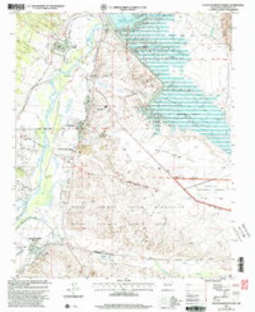
19 topographic sheets cover this place, the earliest surveyed in 1892 and the latest in 2002. It stands in the Santo Domingo-San Felipe census division. It lies in ZIP code area 87072. It stands on Santa Fe River. The Survey maps it on the Santo Domingo Pueblo quadrangle.
On record in Cochiti Pueblo
Buildings and businesses the archive holds for this place. Each opens its own page, with the source record it came from.
On the National Register within a mile 1 record
The National Register names another town for these. They stand within one mile of this settlement's coordinate.
 Cochiti Pueblolisted 1974 · 0.1 miles away
Topographic sheets covering this place
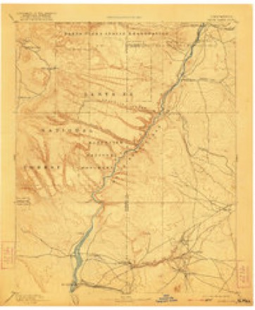
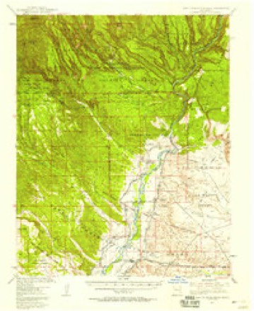
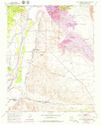
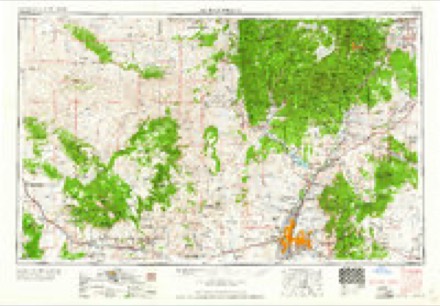
9 surveys from 19 printed sheetsMatched by testing this settlement's coordinate against the published boundary of every sheet in the United States Geological Survey's historical collection. Each opens the scanned sheet at the Survey.
- 1892 USGS Santa Clara quadrangle1:125000, 4 printings
- 1953 USGS Santo Domingo Pueblo quadrangle1:62500, 2 printings
- 1953 USGS Santo Domingo Pueblo quadrangle1:24000, 5 printings
- 1958 USGS Albuquerque quadrangle1:250000
- 1962 USGS Albuquerque quadrangle1:250000
- 1963 USGS Albuquerque quadrangle1:250000, 3 printings
- 1978 USGS Los Alamos quadrangle1:100000
- 1983 USGS Albuquerque quadrangle1:250000
- 2002 USGS Santo Domingo Pueblo quadrangle1:24000
Fires near this place
95 since 1992Regional context, not property-specific evidence. The federal wildfire occurrence database lists 95 fires within 5 miles of Cochiti Pueblo between 1992 and 2019, burning about 434 acres in total. 13 started naturally. 5 were recorded as arson. Distance is straight-line from the map coordinates, so a fire counted here may appear on a neighbouring settlement's page as well.
| Reported cause | Fires |
|---|---|
| Debris and open burning | 49 |
| Missing data/not specified/undetermined | 18 |
| Natural | 13 |
| Arson/incendiarism | 5 |
| Recreation and ceremony | 4 |
| Equipment and vehicle use | 3 |
| Misuse of fire by a minor | 2 |
| Smoking | 1 |
The most recent of them, most recent first, with the day each was reported and the service that recorded it.
| Date | Cause | Size | Reported by | Name on the report |
|---|---|---|---|---|
| 19 September 2005 | Debris and open burning | under an acre | Southern Pueblos Agency | SAN DO |
| 19 September 2005 | Debris and open burning | 2.0 acres | Southern Pueblos Agency | PINYON |
| 1 September 1996 | Missing data/not specified/undetermined | under an acre | New Mexico State Forestry Division | MARTIN |
| 7 August 2003 | Debris and open burning | under an acre | Southern Pueblos Agency | BOAT |
| 31 August 2003 | Arson/incendiarism | under an acre | Southern Pueblos Agency | PENA |
| 31 August 1997 | Debris and open burning | under an acre | Southern Pueblos Agency | SILE |
| 24 August 2005 | Missing data/not specified/undetermined | under an acre | Southern Pueblos Agency | VIC |
| 19 August 2007 | Natural | 5.0 acres | Southern Pueblos Agency | MESA |
Settlements close enough to share some of these fires:
Mines and quarries near this place
7 within 5 milesRegional context, not property-specific evidence. The federal mineral resources record lists 7 workings within 5 miles of Cochiti Pueblo: 5 past producers, 1 producer, 1 prospect. 1 still produces. What was taken out: Sand and Gravel, Construction, Stone, Dimension, Sand and Gravel, Construction. Distance is straight-line from the map coordinates, so a quarry counted here may appear on a neighbouring settlement's page as well.
| Where | Site | Commodity | Status | Recorded |
|---|---|---|---|---|
| Atkinson Co. Quarry | Stone, Dimension, Sand and Gravel, Construction | Past Producer | ||
| Gravel Pit | Sand and Gravel, Construction | Past Producer | ||
| Pena Blanca Pit | Sand and Gravel, Construction | Producer | Sedimentary | |
| Pit Number 60-9-S | Sand and Gravel, Construction | Past Producer | ||
| Pit Number 77-1-S | Sand and Gravel, Construction | Past Producer | ||
| Two Gravel Pits | Sand and Gravel, Construction | Prospect | ||
| Two Gravel Pits | Sand and Gravel, Construction | Past Producer |
Storms near this place
16 since 2003Regional context, not property-specific evidence. The National Weather Service names Cochiti Pueblo in 16 storm reports between 2003 and 2025: 9 flash flood, 4 hail, 1 flood, 1 funnel cloud. No death or injury is recorded in these reports. Each account below is quoted exactly as the forecast office filed it, from the NOAA Storm Events Database, and each date opens the federal record of that event.
| When | Event | Place named | Harm | What the report says |
|---|---|---|---|---|
| August 2011 | Flash Flood | Cochiti Pueblo | $3,000,000 | During the damage survey of the previous days flooding, abundant rain above Cochiti Canyon resulted in another, more devastating flood, to Dixon's Apple Orchard which was witness first hand by the NWS Albuquerque Warning Coordination Meteorologist. The force of the flow was estimated to be 3 times as that of the previous days flood. At least 10 feet high, the width of the flood waters was approximately 100 yards wide. 20 to 40 percent more of the apple orchard was destroyed. Also, the main storage building that sustained damage in the previous days flood was wiped completely off its foundation. The semi truck that moved 200 yards before, was washed downstream and ended up in the Cochiti Lake Reservoir in pieces. |
| September 2013 | Flood | Cochiti Pueblo | $100,000 | NM 85 and 90 were initially flooded with 5,000 cfs flow through the area on the 12th then extremely heavy rainfall created severe flooding through the 13th. Numerous roads were flooded and partially destroyed. Kasha-Katuwe Tent Rocks National Monument was isolated. Evacuations took place in Cochiti Pueblo. |
| September 2013 | Flash Flood | Cochiti Pueblo | $100,000 | All roads washed out in the community of Sile. Road in Elk Run Estates washed out near La Cueva. 100 residences in La Cueva reported loss of telephone service. |
| August 2018 | Flash Flood | Cochiti Pueblo | $50,000 | The main road and several trails were washed out at Tent Rocks National Monument. Facilities at the monument were also damaged. Flash flooding forced the closure of the monument for several days until clean up and mitigation efforts were completed. Damages are estimated for facilities and road repairs. |
| August 2019 | Flash Flood | Cochiti Pueblo | $20,000 | Tent Rocks National Monument was closed for two days due to washed out roads from flood waters. Rocks, mud, and debris covered several sections of the main road to the monument. Damage amounts are estimated for roadways. |
| July 2014 | Flash Flood | Cochiti Pueblo | $15,000 | Roadway within Peralta Canyon was washed out and recently built culverts were destroyed. |
| July 2025 | Flash Flood | Cochiti Pueblo | $5,000 | Heavy rain from slow moving thunderstorms resulted in mud and rockslides onto the Cochiti Golf Course and across the road at the entrance of the course. Additionally, the golf cart barn got an inch or so of water in it. Property damage is an estimate. |
| August 2008 | Flash Flood | Cochiti Pueblo | $3,000 | Heavy rain caused flash flooding that washed out part of a trail and access road at Kasha Katuwe Tent Rocks National Monument. |
| July 2020 | Hail | Cochiti Pueblo | - | A trained spotter reported quarter size hail with a severe thunderstorm as it tracked south through Cochiti Pueblo. |
| May 2018 | Funnel Cloud | Cochiti Pueblo | - | A funnel cloud was spotted from the Cochiti Golf Club. |
| May 2018 | Tornado (EF0) | Cochiti Pueblo | - | An observer spotted a funnel cloud near Bandelier National Monument that briefly made contact with the ground as noted by surface dust swirls. |
| August 2013 | Flash Flood | Cochiti Pueblo | - | High flows reported over several low water crossings beneath Bland and Peralta Canyons. |
| August 2011 | Flash Flood | Cochiti Pueblo | - | A creek that parallels Dixon Apple Orchard overflowed with rushing water and debris. It likely did not rain at this location, rather heavy rains fell on the southern portion of the Las Conchas burn scar, and runoff quickly moved down the canyons. Radar estimated between one and two inches of rain fell. |
| February 2005 | Hail | Cochiti Pueblo | - | no account filed |
| August 2004 | Hail | Cochiti Pueblo | - | no account filed |
| May 2003 | Hail | Cochiti Pueblo | - | no account filed |
Nearest settlements
The eight closest, with where each one stands in the county. Distances are straight-line, computed from the Geographic Names Information System coordinates.
| Map | Place | Distance | Sheets |
|---|---|---|---|
| Cochiti | 0.2 miles | 19 | |
| Peña Blanca | 2.6 miles | 19 | |
| Cochiti Lake | 2.8 miles | 21 | |
| Sile | 3.3 miles | 19 | |
| Santo Domingo Pueblo | 6.5 miles | 19 | |
| Domingo | 6.8 miles | 19 | |
| Bland | 12.1 miles | 21 | |
| Frijoles | 12.5 miles | 21 |
Provenance
This settlement is recorded in the Geographic Names Information System as feature 928715. The sheet list is computed by point-in-boundary test against the United States Geological Survey's historical topographic inventory. Both are works of the United States government and carry no copyright under 17 U.S.C. 105.
Wildfire. Short, Karen C. 2022. Spatial wildfire occurrence data for the United States, 1992-2020 [FPA_FOD_20221014]. 6th Edition. Fort Collins, CO: Forest Service Research Data Archive. https://doi.org/10.2737/RDS-2013-0009.6 Collected with United States Government funding and usable without additional permissions or fees.
Mines and quarries. USGS Mineral Resources Data System (MRDS) https://mrdata.usgs.gov/mrds/ A work of the United States government, no copyright under 17 U.S.C. 105.
Storms. NOAA National Centers for Environmental Information, Storm Events Database https://www.ncei.noaa.gov/stormevents/ A work of the United States government, no copyright under 17 U.S.C. 105. Narratives are quoted verbatim from the National Weather Service report and are not edited or summarised.