 Block
Frijoles, New Mexico
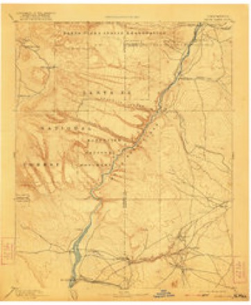
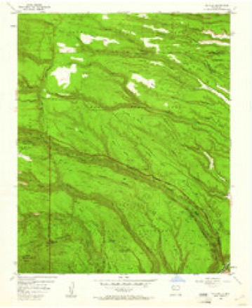
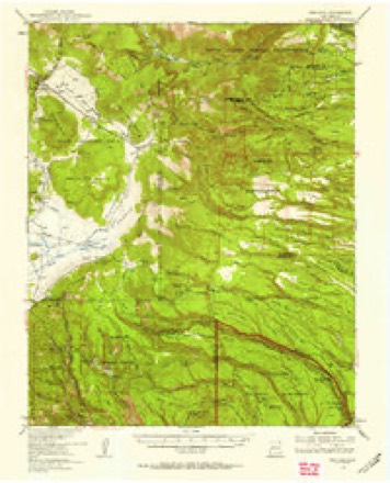
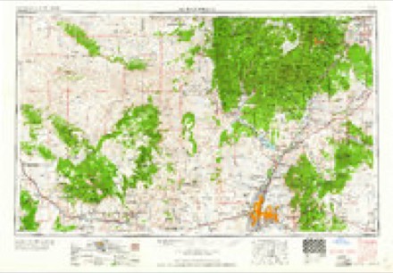
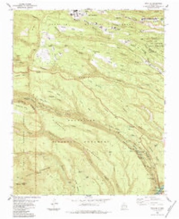
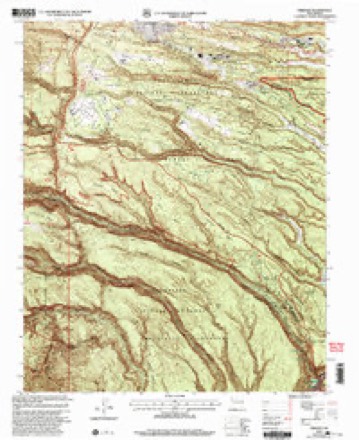
21 topographic sheets cover this place, the earliest surveyed in 1892 and the latest in 2002. It stands in the Santo Domingo-San Felipe census division. It lies in ZIP code area 87544. It lies near Corral Hill. The Survey maps it on the Frijoles quadrangle.
Topographic sheets covering this place
10 surveys from 21 printed sheetsMatched by testing this settlement's coordinate against the published boundary of every sheet in the United States Geological Survey's historical collection. Each opens the scanned sheet at the Survey.
- 1892 USGS Santa Clara quadrangle1:125000, 4 printings
- 1952 USGS Frijoles quadrangle1:24000, 3 printings
- 1953 USGS Frijoles quadrangle1:62500, 3 printings
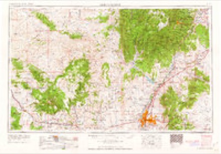
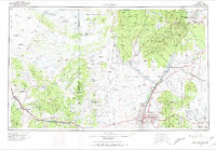
- 1958 USGS Albuquerque quadrangle1:250000
- 1962 USGS Albuquerque quadrangle1:250000
- 1963 USGS Albuquerque quadrangle1:250000, 3 printings
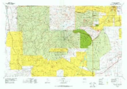
- 1978 USGS Los Alamos quadrangle1:100000
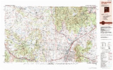
- 1983 USGS Albuquerque quadrangle1:250000
- 1984 USGS Frijoles quadrangle1:24000, 3 printings
- 2002 USGS Frijoles quadrangle1:24000
Fires near this place
82 since 1992Regional context, not property-specific evidence. The federal wildfire occurrence database lists 82 fires within 5 miles of Frijoles between 1992 and 2020, burning about 2,222 acres in total. 72 started naturally. None was recorded as arson. Distance is straight-line from the map coordinates, so a fire counted here may appear on a neighbouring settlement's page as well.
| Reported cause | Fires |
|---|---|
| Natural | 72 |
| Recreation and ceremony | 5 |
| Missing data/not specified/undetermined | 2 |
| Debris and open burning | 2 |
| Power generation/transmission/distribution | 1 |
The most recent of them, most recent first, with the day each was reported and the service that recorded it.
| Date | Cause | Size | Reported by | Name on the report |
|---|---|---|---|---|
| 8 September 1995 | Natural | under an acre | Bandelier National Monument | OSIFRIDAY |
| 7 September 2006 | Natural | under an acre | Bandelier National Monument | MONSOON |
| 30 September 2014 | Natural | under an acre | Bandelier National Monument | FRIJOLITO |
| 1 September 1992 | Natural | under an acre | Bandelier National Monument | SADDLE |
| 7 August 1993 | Natural | under an acre | Bandelier National Monument | BLACK |
| 6 August 1995 | Natural | under an acre | Bandelier National Monument | FORK |
| 6 August 1993 | Natural | under an acre | Bandelier National Monument | MESA |
| 5 August 1995 | Natural | under an acre | Bandelier National Monument | TRICK |
Settlements close enough to share some of these fires:
Storms near this place
19 since 1996Regional context, not property-specific evidence. The National Weather Service names Frijoles in 19 storm reports between 1996 and 2024: 12 flash flood, 5 hail, 1 wildfire, 1 thunderstorm wind. No death or injury is recorded in these reports. Each account below is quoted exactly as the forecast office filed it, from the NOAA Storm Events Database, and each date opens the federal record of that event.
| When | Event | Place named | Harm | What the report says |
|---|---|---|---|---|
| August 2011 | Flash Flood | Frijoles | $3,750,000 | Major flash flooding ensued after an estimated 3 to 4 inches of rain fell across the southern portion of the Las Conchas burn scar. Flooding in Frijoles Creek caused damage in and around Bandelier National Monument. Two barrier walls around the Visitors Center were overtopped and the septic system lift station was inundated with water. Major flooding was also reported in Peralta Canyon around Kasha Katuwe (Tent Rocks) National Monument. Damage was reported to the access road as well as other local roads. ||Along and downstream of Cochiti Canyon sustained the most damage from flood waters. Flows were reported to be 8 to 10 feet high when they reached Dixon's Apple Orchard. The flood waters damaged the owners personal residence, inundated the main storage facility with 10 feet of mud and debris, moved a semi truck approximately 200 yards and destroyed approximately 10 percent of the apple orchard. The water also wiped out a 50 yard long 4 foot by 4 foot rock retaining wall that was built in 1942. |
| September 2013 | Flash Flood | Frijoles | $500,000 | Worst flash flood event ever recorded at Bandelier National Monument as the creek near the visitor center crested to 11 feet at 830am. Several points of infrastructure were damaged. The entrance road to the park was undermined and nearly destroyed. |
| September 2024 | Flash Flood | Frijoles | $20,000 | Damage reported throughout Bandelier National Monument from significant flash flooding. All trails on the property were closed except for one within the official park boundaries. |
| July 2015 | Flash Flood | Frijoles | $20,000 | Several foot bridges were washed away within Frijoles Canyon as the creek overflowed it's banks. Water did not make it into the parking lot at the visitor center. Rain gage reports averaged between 1 and 2 inches within the canyon. |
| July 2012 | Flash Flood | Frijoles | $10,000 | Several foot bridges washed out at Bandelier National Monument and two people stranded within Frijoles Canyon. |
| July 2014 | Flash Flood | Frijoles | $5,000 | Emergency Manager reported dangerous flows overtopped the intersection of Indian Service Route 601 and 602 on Santa Clara Pueblo. Access to the creek was blocked by authorities. |
| August 2007 | Flash Flood | Frijoles | $500 | no account filed |
| June 2020 | Hail | Frijoles | - | Penny to nickel size hail fell with a strong thunderstorm that moved near Frijoles. Hail accumulated along New Mexico State Road 4 from Los Alamos to Valles Caldera. |
| June 2015 | Hail | Frijoles | - | Storm chaser reported lots of hail covering the ground with the largest stone around half dollar size. |
| June 2015 | Hail | Frijoles | - | Twitter picture showed dime to quarter size hail that fell in the Valles Caldera National Preserve. |
| July 2014 | Flash Flood | Frijoles | - | Wall of water 4.5 feet surged down Frijoles Canyon within Bandelier. |
| July 2014 | Flash Flood | Frijoles | - | Six feet of water was reported to be flowing through the channel and over a footbridge at Bandelier National Monument. The water was out of its banks but not all the way to the parking area. |
| August 2014 | Flash Flood | Frijoles | - | Water rose 5 to 6 feet in the Frijoles Creek at the Bandalier National Monument Visitors Center. |
| July 2013 | Flash Flood | Frijoles | - | Rainfall rate of nearly 6 inches per hour over the Deer Pond gage produced 2.74 inches of rain in less than 30 minutes. This heavy rainfall produced a nearly 10 foot flood wave on Santa Clara Creek. |
| July 2013 | Flash Flood | Frijoles | - | Bland and Peralta Canyons flooded across low water crossings and was described as a flash flood situation by Cochiti Pueblo emergency management. Water came up to Cochiti highway but did not top it. Bandelier National Monument also received flooding Thursday night into Friday morning with mud and debris being deposited across parking lots and bridges in the area. The Monument had to stay closed Friday due to continued clean up efforts. |
| July 2009 | Hail | Frijoles | - | The hail was reported at the Bandelier National Monument. |
| September 2024 | Thunderstorm Wind | Frijoles | - | no account filed |
| May 2008 | Hail | Frijoles | - | no account filed |
| April 1996 | Wildfire | Frijoles | - | no account filed |
Nearest settlements
The eight closest, with where each one stands in the county. Distances are straight-line, computed from the Geographic Names Information System coordinates.
| Map | Place | Distance | Sheets |
|---|---|---|---|
| Pines | 8.8 miles | 21 | |
| Cochiti Lake | 9.7 miles | 21 | |
| Bland | 10.4 miles | 21 | |
| Cochiti | 12.5 miles | 19 | |
| Cochiti Pueblo | 12.5 miles | 19 | |
| Peña Blanca | 14.8 miles | 19 | |
| Sile | 15.7 miles | 19 | |
| Sierra de los Pinos | 17.1 miles | 25 |
Elsewhere
Matched on this settlement's Geographic Names Information System number rather than its name, so it cannot be a different place of the same name in another state.
| Wikidata item Q122563256 | The structured record the population and elevation above come from. Public domain (CC0). |
Provenance
This settlement is recorded in the Geographic Names Information System as feature 938814. The sheet list is computed by point-in-boundary test against the United States Geological Survey's historical topographic inventory. Both are works of the United States government and carry no copyright under 17 U.S.C. 105.
Wildfire. Short, Karen C. 2022. Spatial wildfire occurrence data for the United States, 1992-2020 [FPA_FOD_20221014]. 6th Edition. Fort Collins, CO: Forest Service Research Data Archive. https://doi.org/10.2737/RDS-2013-0009.6 Collected with United States Government funding and usable without additional permissions or fees.
Storms. NOAA National Centers for Environmental Information, Storm Events Database https://www.ncei.noaa.gov/stormevents/ A work of the United States government, no copyright under 17 U.S.C. 105. Narratives are quoted verbatim from the National Weather Service report and are not edited or summarised.