 Block
Dunken, New Mexico
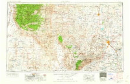
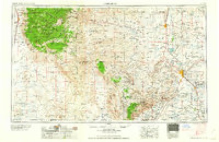
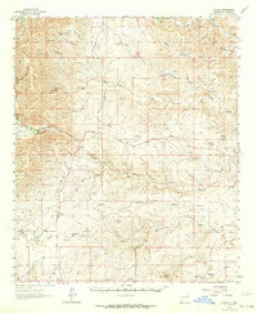
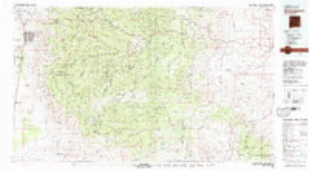
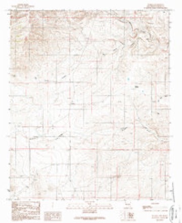
10 topographic sheets cover this place, the earliest surveyed in 1954 and the latest in 1989. It stands in the Southwest Chaves census division. It lies in ZIP code area 88250. The Survey maps it on the Dunken quadrangle.
Topographic sheets covering this place
5 surveys from 10 printed sheetsMatched by testing this settlement's coordinate against the published boundary of every sheet in the United States Geological Survey's historical collection. Each opens the scanned sheet at the Survey.
- 1954 USGS Carlsbad quadrangle1:250000, 3 printings
- 1958 USGS Carlsbad quadrangle1:250000, 2 printings
- 1962 USGS Dunken quadrangle1:62500, 3 printings
- 1979 USGS Alamogordo quadrangle1:100000
- 1989 USGS Dunken quadrangle1:24000
Fires near this place
12 since 1994Regional context, not property-specific evidence. The federal wildfire occurrence database lists 12 fires within 5 miles of Dunken between 1994 and 2016, burning about 2,641 acres in total. 6 started naturally. None was recorded as arson. Distance is straight-line from the map coordinates, so a fire counted here may appear on a neighbouring settlement's page as well.
| Reported cause | Fires |
|---|---|
| Natural | 6 |
| Missing data/not specified/undetermined | 5 |
| Smoking | 1 |
The most recent of them, most recent first, with the day each was reported and the service that recorded it.
| Date | Cause | Size | Reported by | Name on the report |
|---|---|---|---|---|
| 13 September 2015 | Natural | 133 acres | New Mexico State Forestry Division | WOODRUF |
| 7 August 2011 | Natural | 550 acres | Carlsbad Field Office | CUEVO CANYON |
| 2 July 1994 | Missing data/not specified/undetermined | 100 acres | New Mexico State Forestry Division | ELK |
| 1 July 2011 | Natural | 3.0 acres | Lincoln National Forest | ROBERTSON |
| 25 June 2015 | Natural | under an acre | Roswell Field Office | PICACHO |
| 12 June 2016 | Natural | 3.0 acres | Carlsbad Field Office | BIG CHERRY |
| 9 May 2005 | Smoking | under an acre | New Mexico State Forestry Division | STATE RD 132 |
| 7 May 1997 | Missing data/not specified/undetermined | 1,200 acres | New Mexico State Forestry Division | CUEVO |
Settlements close enough to share some of these fires:
Storms near this place
27 since 1995Regional context, not property-specific evidence. The National Weather Service names Dunken in 27 storm reports between 1995 and 2024: 15 hail, 6 thunderstorm wind, 2 flash flood, 2 funnel cloud. No death or injury is recorded in these reports. Each account below is quoted exactly as the forecast office filed it, from the NOAA Storm Events Database, and each date opens the federal record of that event.
| When | Event | Place named | Harm | What the report says |
|---|---|---|---|---|
| August 2021 | Flood | Dunken | $150,000 | Heavy rain with estimated totals of 3 to 6 inches over three consecutive days resulted in flooding along the normally dry Rio Penasco in southwest Chaves County. A river gage north of Dunken peaked at 9.89 feet around midnight August 14th. The gage initially indicated that water receded during the overnight hours, but with thunderstorms developing again early in the day, the gage rose to 11.08 feet by mid-morning. Heavy rain continued across the area throughout the day which resulted in prolonged flooding along the Rio Penasco. At its peak, the Rio Penasco, which is normally about 6 feet wide, was estimated to be 50 to 100 yards wide. The river gage north of Dunken peaked at a depth of 16.8 feet early in the afternoon while another river gage east-northeast of Dunken peaked at 14 feet by mid-afternoon. Numerous roadways, including New Mexico State Highway 24 and U.S. Highway 82, were closed as water levels rose to an estimated 5 to 15 feet. Along U.S. Highway 82, fences were reported to be washed away, and a campground was under several feet of water. The amount of damage is unknown, and damage amounts are a rough estimate. |
| September 2014 | Flash Flood | Dunken | $20,000 | Portions of NM 24 were washed out between mile markers 46 and 48 north of Dunken. The road had to be closed. |
| May 1999 | Hail | Dunken | $5,000 | Large hail broke windshields on Highway 82 in southwest Chaves County. |
| June 2007 | Hail | Dunken | $2,000 | Hail broke windshields of several cars on U.S. Highway 82. |
| July 2024 | Thunderstorm Wind | Dunken | - | A mesonet at Dunken measured a wind gust of 68 mph from nearby thunderstorms. |
| July 2024 | Thunderstorm Wind | Dunken | - | The Dunken mesonet station observed a peak wind gust of 65 mph from a severe thunderstorm. |
| June 2024 | Thunderstorm Wind | Dunken | - | A thunderstorm outflow gust reached 60 mph at the Dunken RAWS station. Timing is estimated based on radar rather than the 1 hour reporting time on the RAWS. |
| August 2024 | Flood | Dunken | - | A trained spotter shared video of flood waters within the normally dry Rio Penasco well outside of banks overtopping a low water crossing. These flood waters were a response to an estimated three to six inches of rainfall over the prior two days over the nearby Sacramento Mountains. |
| June 2022 | Hail | Dunken | - | A storm chaser reported quarter size hail from a severe thunderstorm along U.S. Highway 82 near Dunken. |
| June 2022 | Hail | Dunken | - | An off-duty NWS employee reported penny size hail along U.S. Highway 82 near Dunken. |
| July 2020 | Thunderstorm Wind | Dunken | - | A thunderstorm wind gust of 59 mph was recorded near Dunken. |
| June 2019 | Hail | Dunken | - | Nickel size hail several miles northeast of Dunken. |
| June 2019 | Hail | Dunken | - | Hail up to the size of half dollars covered U.S. 82. |
| June 2019 | Hail | Dunken | - | Hail up to the size of ping pong balls fell several miles northeast of Dunken. |
| June 2019 | Hail | Dunken | - | Hail up to two inches in diameter fell a few miles north of Dunken. |
| October 2017 | Flash Flood | Dunken | - | Torrential rainfall for several hours over the Sacramento Mountains produced a flash flood wave on the Rio Penasco. The river rose nearly 10 feet in one hour then crested at 17.46 feet several hours later. Nearby roads were inundated with flood waters along state highway 24 and U.S. Highway 82. |
| September 2016 | Funnel Cloud | Dunken | - | Funnel cloud reported by local media along U.S. Highway 82 and Picacho Road. |
| June 2015 | Funnel Cloud | Dunken | - | Funnel cloud spotted just west of the intersection of State Road 13 and U.S. Highway 82. |
| October 2015 | Hail | Dunken | - | Pea to quarter size hail along US Highway 82 that covered a 4 mile stretch of highway with 1 inch deep of hail. |
| May 2014 | Thunderstorm Wind | Dunken | - | Dunken. |
| May 2013 | Hail | Dunken | - | Golf ball size hail reported near intersection of highway 82 and state road 13. |
| May 2012 | Hail | Dunken | - | Quarter size hail reported 6 miles north northwest of Dunken. |
| May 2012 | Hail | Dunken | - | Golf ball size hail reported 18 miles northeast of Dunken. |
| July 2000 | Thunderstorm Wind | Dunken | - | High winds and heavy rain stripping leaves and limbs from trees in Dunken. |
| June 1995 | Hail | Dunken | - | Marble-size hail accumulated to eight inches deep. |
| May 2007 | Hail | Dunken | - | no account filed |
| May 2004 | Hail | Dunken | - | no account filed |
Nearest settlements
The eight closest, with where each one stands in the county. Distances are straight-line, computed from the Geographic Names Information System coordinates.
| Map | Place | Distance | Sheets |
|---|---|---|---|
| Elk | 11.4 miles | 9 | |
| Center Mill | 39.1 miles | 10 | |
| Diamante Mill | 40.5 miles | 10 | |
| River Mill | 40.8 miles | 10 | |
| Missouri Plaza (historical) | 41.7 miles | 8 | |
| Highway Mill | 42.5 miles | 10 | |
| Blackdom (historical) | 44.0 miles | 8 | |
| Lake Arthur | 46.1 miles | 9 |
Elsewhere
Matched on this settlement's Geographic Names Information System number rather than its name, so it cannot be a different place of the same name in another state.
| Wikidata item Q122596621 | The structured record the population and elevation above come from. Public domain (CC0). |
Provenance
This settlement is recorded in the Geographic Names Information System as feature 897359. The sheet list is computed by point-in-boundary test against the United States Geological Survey's historical topographic inventory. Both are works of the United States government and carry no copyright under 17 U.S.C. 105.
Wildfire. Short, Karen C. 2022. Spatial wildfire occurrence data for the United States, 1992-2020 [FPA_FOD_20221014]. 6th Edition. Fort Collins, CO: Forest Service Research Data Archive. https://doi.org/10.2737/RDS-2013-0009.6 Collected with United States Government funding and usable without additional permissions or fees.
Storms. NOAA National Centers for Environmental Information, Storm Events Database https://www.ncei.noaa.gov/stormevents/ A work of the United States government, no copyright under 17 U.S.C. 105. Narratives are quoted verbatim from the National Weather Service report and are not edited or summarised.