 Block
Las Vegas, New Mexico
14 topographic sheets cover this place, the earliest surveyed in 1889 and the latest in 1983. It stands in the Las Vegas census division. It lies in ZIP code area 87701. It stands on Arroyo Hermanos. The Survey maps it on the Las Vegas quadrangle. 13,166 people lived here at the 2020 count. It stands 6,424 feet above sea level.
Research this city
On record in Las Vegas
Buildings and businesses the archive holds for this place. Each opens its own page, with the source record it came from.
On the National Register 12 of 89 shown
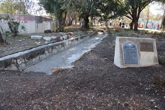 Acequia Madrelisted 1987
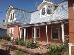 Arturo Angel Houselisted 1985
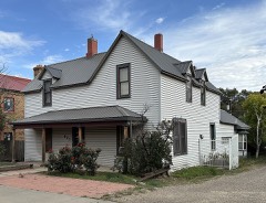 Charles and Lewis Arthur E. N. Houselisted 1985
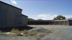 AT & SF Roundhouselisted 1985
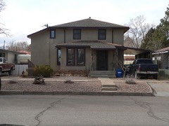 Bean-Newlee Houselisted 1985
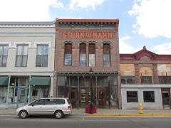 Bridge Street Historic Districtlisted 1978
 Building at 1214 Bridgelisted 1985
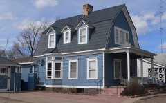 Lowery Clevenger Houselisted 1985
 James Cook Houselisted 1985
 Distrito de las Escuelaslisted 1980
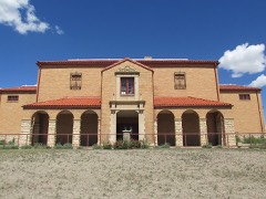 Douglas Avenue Schoollisted 1983
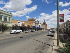 Douglas-Sixth Street Historic Districtlisted 1983
Every listing in San Miguel County
Surveyed buildings and structures 10 records
- Atchison Topeka & Santa Fe Railroad Depot, 500 Railroad Avenue, Las Vegasfederal building survey, 2 photographs
- Carnegie Library, 500 National Avenue, Las Vegasfederal building survey, 2 photographs
- Castaneda Hotel, Railroad Avenue, Las Vegasfederal building survey, 5 photographs
- Charles Ilfeld Building, 224 North Plaza, Las Vegasfederal building survey, 2 photographs
- Don Jose Albino Baca House, Old Santa Fe Trail, Las Vegasfederal building survey, 20 photographs
- Las Vegas City Hall, 626 Sixth Street, Las Vegasfederal building survey, 4 photographs
- Montezuma Hotel, Gallinas Canyon, Las Vegasfederal building survey, 10 photographs
- Plaza Hotel, 230 North Plaza, Las Vegasfederal building survey, 1 photograph
- Plaza, Bounded by North Plaza, East Plaza, South Plaza, and West Plaza, Las Vegasfederal building survey, 1 photograph
- Rawlins Building, 515 Railroad Avenue, Las Vegasfederal building survey, 2 photographs
Population over time
2 figuresLas Vegas fell from 13,753 to 13,166 between 2010 and 2020. These are the recorded population figures Wikidata holds for this place, reached through the Geographic Names Information System number this page is keyed on rather than by name, so they belong to this place and not to another of the same name. Most are census counts, but not all are: an early figure may be a founding or settlement estimate, and an estimate published within five years of a census is left out. The change column is computed, and is left blank where more than 20 years separate a figure from the one before it, because a gap that long is not a change between two counts.
| Year | People | Change |
|---|---|---|
| 2010 | 13,753 | |
| 2020 | 13,166 | -587 (-4%) |
Topographic sheets covering this place
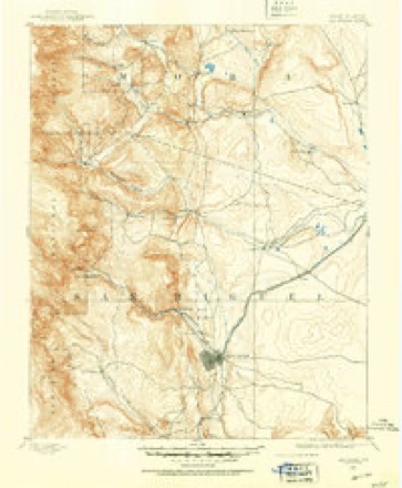
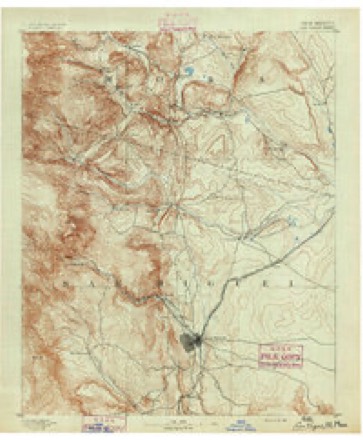
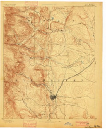
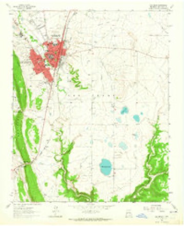
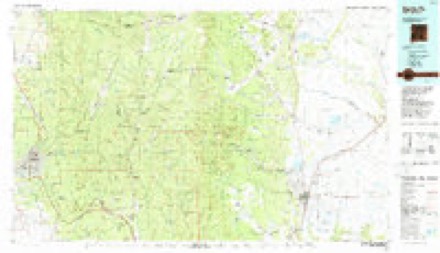
7 surveys from 14 printed sheetsMatched by testing this settlement's coordinate against the published boundary of every sheet in the United States Geological Survey's historical collection. Each opens the scanned sheet at the Survey.
- 1889 USGS Las Vegas quadrangle1:125000
- 1891 USGS Las Vegas quadrangle1:125000
- 1893 USGS Las Vegas quadrangle1:125000, 5 printings
- 1954 USGS Santa Fe quadrangle1:250000, 4 printings
- 1958 USGS Santa Fe quadrangle1:250000
- 1963 USGS Las Vegas quadrangle1:24000
- 1983 USGS Santa Fe quadrangle1:100000
What the histories say of this town
7,244 words1 chapter about Las Vegas from the published histories of the county, public domain and reproduced complete.
| Chapter | From | Length |
|---|---|---|
| History | Historical Sketch of Las Vegas, New Mexico (1880) | 7,244 words |
Photographs
8 of 10 photographs shown,Taken for the Office of War Information and the Farm Security Administration, who photographed the country between 1935 and 1944. Works of United States government photographers, with no known restriction on use. Each opens its catalogue record.
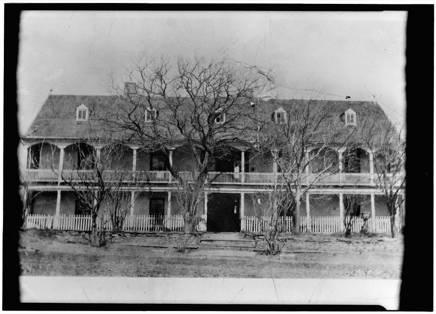
Photographer not recorded. Library of Congress
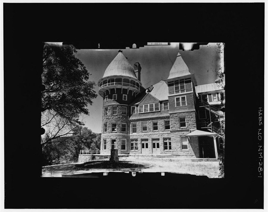
Photographer not recorded. Library of Congress
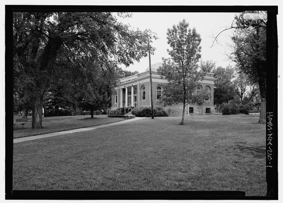
Photographer not recorded. Library of Congress
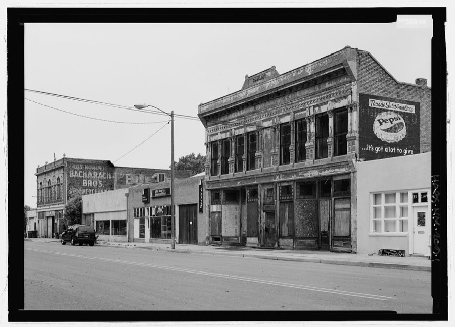
Photographer not recorded. Library of Congress
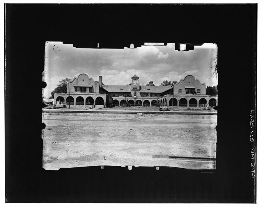
Photographer not recorded. Library of Congress
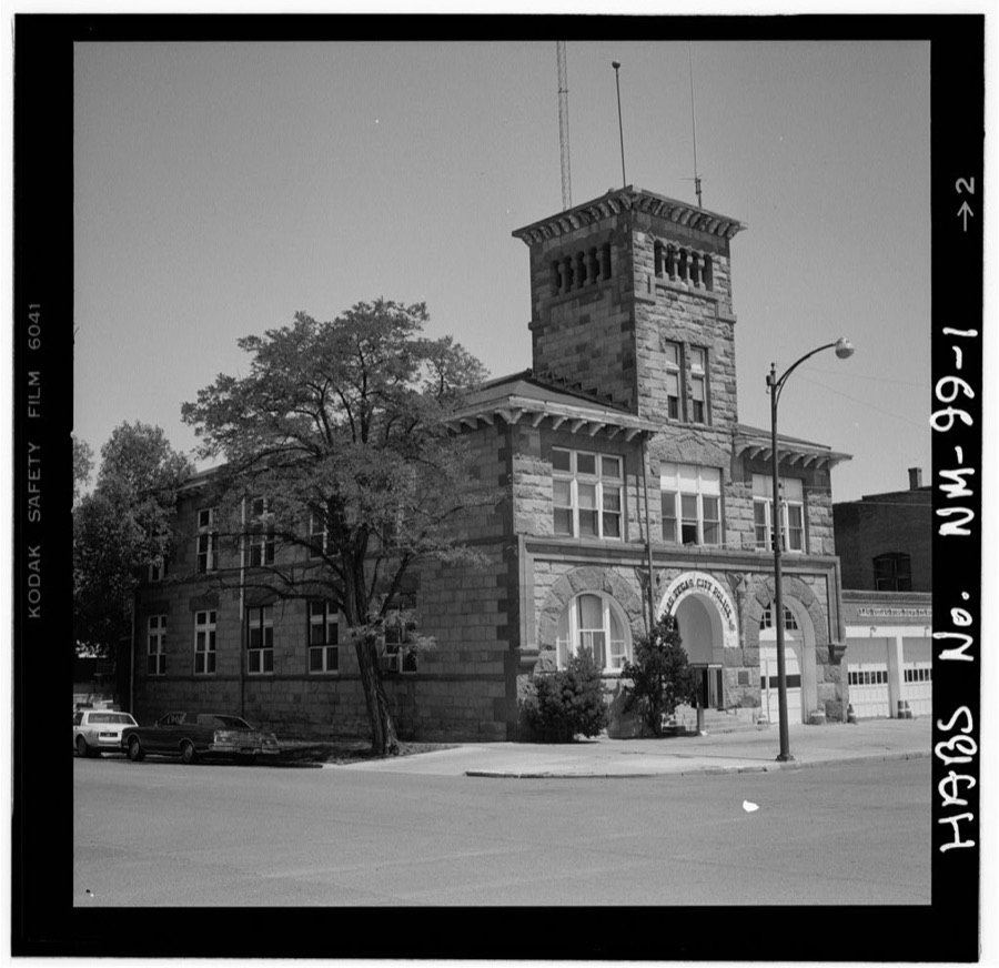
Photographer not recorded. Library of Congress
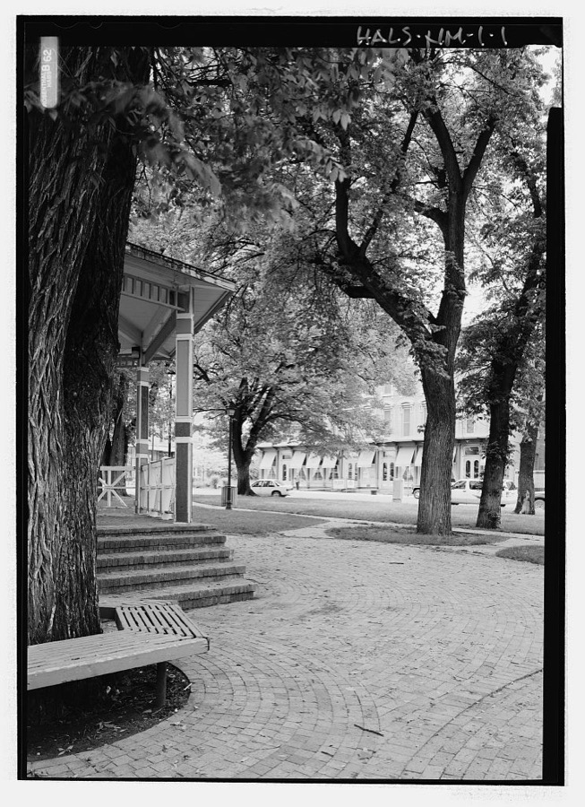
Photographer not recorded. Library of Congress
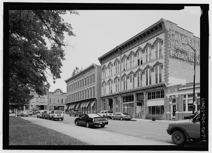
Photographer not recorded. Library of Congress
Every photograph of San Miguel County
Fires near this place
92 since 1994Regional context, not property-specific evidence. The federal wildfire occurrence database lists 92 fires within 5 miles of Las Vegas between 1994 and 2020, burning about 1,676 acres in total. 22 started naturally. None was recorded as arson. Distance is straight-line from the map coordinates, so a fire counted here may appear on a neighbouring settlement's page as well.
| Reported cause | Fires |
|---|---|
| Missing data/not specified/undetermined | 53 |
| Natural | 22 |
| Debris and open burning | 6 |
| Equipment and vehicle use | 4 |
| Smoking | 3 |
| Misuse of fire by a minor | 3 |
| Recreation and ceremony | 1 |
The most recent of them, most recent first, with the day each was reported and the service that recorded it.
| Date | Cause | Size | Reported by | Name on the report |
|---|---|---|---|---|
| 18 September 2000 | Natural | 175 acres | New Mexico State Forestry Division | MOON |
| 8 August 2005 | Natural | 2.0 acres | New Mexico State Forestry Division | BARNETT |
| 7 August 2003 | Natural | under an acre | New Mexico State Forestry Division | PETERSON |
| 29 August 2002 | Natural | under an acre | New Mexico State Forestry Division | OWL |
| 14 August 2012 | Natural | 1.3 acres | Las Vegas District | ALAMITO |
| 1 August 2020 | Debris and open burning | under an acre | Las Vegas District | 21-40340165X |
| 6 July 1998 | Missing data/not specified/undetermined | 7.0 acres | New Mexico State Forestry Division | PIEDRA |
| 3 July 2003 | Natural | 2.0 acres | New Mexico State Forestry Division | SHADOW |
Settlements close enough to share some of these fires:
Mines and quarries near this place
10 of 19 shownRegional context, not property-specific evidence. The federal mineral resources record lists 19 workings within 5 miles of Las Vegas: 18 unknowns, 1 occurrence. None of them still produces. What was taken out: Sand and Gravel, Construction, Uranium. Distance is straight-line from the map coordinates, so a quarry counted here may appear on a neighbouring settlement's page as well.
| Where | Site | Commodity | Status | Recorded |
|---|---|---|---|---|
| Los Vigiles | Uranium | Occurrence | ||
| Marquez Pit | Sand and Gravel, Construction | Unknown | ||
| Materials Pit | Sand and Gravel, Construction | Unknown | ||
| Materials Pit | Sand and Gravel, Construction | Unknown | ||
| Materials Pit | Sand and Gravel, Construction | Unknown | ||
| Materials Pit | Sand and Gravel, Construction | Unknown | ||
| Materials Pit | Sand and Gravel, Construction | Unknown | ||
| Materials Pit | Sand and Gravel, Construction | Unknown | ||
| Materials Pit | Sand and Gravel, Construction | Unknown | ||
| Materials Pit | Sand and Gravel, Construction | Unknown |
Storms near this place
52 since 1995Regional context, not property-specific evidence. The National Weather Service names Las Vegas in 52 storm reports between 1995 and 2025: 45 hail, 4 flash flood, 1 tornado, 1 thunderstorm wind. No death or injury is recorded in these reports. Each account below is quoted exactly as the forecast office filed it, from the NOAA Storm Events Database, and each date opens the federal record of that event.
| When | Event | Place named | Harm | What the report says |
|---|---|---|---|---|
| June 2024 | Flash Flood | Las Vegas | $1,000,000 | Flash flooding from heavy rains closed NM Highway 65 from mile markers 2 to 4 or one mile south of Montezuma where culverts were washed out. Flowing water 1 to 3 feet deep also reported over El Llano Road, Cinder Road, Palo Verde Road and at the intersection of 7th Street and Mills Avenue. Road closures were also reported along State Road 65 at Campus and El Camino, as well as along 8th Street north of Mills Avenue. Robertson Cardinal football field was completely covered in standing water. The Las Vegas Water Treatment Plant also flooded. A mandatory evacuation order was issued at 9:54pm MDT for this area due to the dangerous flooding across Las Vegas to Montezuma. Damage is an estimated given very limited information. |
| August 1996 | Hail | Las Vegas | $80,000 | no account filed |
| June 1995 | Hail | Las Vegas | $10,000 | Hail ranging from quarter to golf ball-size damaged mobile homes and vehicles in Las Vegas and also five miles south of the city. |
| July 1998 | Flash Flood | Las Vegas | $2,000 | Heavy thunderstorms produced small hail and brief flash flooding from near Gallinas southeast into Las Vegas. Damage was limited to rural road washouts. |
| October 2023 | Hail | Las Vegas | $1,000 | The Las Vegas Animal Care shelter suffered hail damage. A window was knocked out, and crates and kennels were damaged. There were no injuries reported. |
| October 2023 | Hail | Las Vegas | $1,000 | The District Ranger for the U.S. Forest Service in Las Vegas reported half-dollar sized hail at their district office building. Hail damage to the roof was reported with a leak resulting from the damage. |
| May 2025 | Hail | Las Vegas | - | A trained spotter just west of downtown Las Vegas observed 2 inches of nickel size hail from a strong thunderstorm. |
| July 2024 | Flash Flood | Las Vegas | - | Flash flooding occurred in Las Vegas on Mills Avenue near the state Behavior Health Institute Building. |
| October 2024 | Hail | Las Vegas | - | A strong storm dropped nickel size hail in Las Vegas, NM close to Grande Ave. |
| October 2023 | Hail | Las Vegas | - | A copious amount of nickel to quarter sized hail resulted in the dispatch of New Mexico Department of Transportation snowplows on Interstate 25. |
| October 2023 | Hail | Las Vegas | - | Nickel to quarter size hail accumulated to about 3 inches deep in some parts downtown Las Vegas, NM. There was minor flooding that resulted in town. |
| July 2020 | Hail | Las Vegas | - | Very large hail was observed with a severe thunderstorm that moved south through Las Vegas. Various sources reported hail ranging from the size of quarters to golf balls. |
| August 2017 | Hail | Las Vegas | - | Hail up to the size of golf balls in Las Vegas. |
| June 2017 | Hail | Las Vegas | - | Hail at least the size of hen eggs fell near Las Vegas. |
| August 2017 | Hail | Las Vegas | - | Hail up to the size of quarters near Las Vegas. |
| July 2017 | Flash Flood | Las Vegas | - | Flash flooding along Gallinas Creek. Low water crossings and intersections flooded. Roads impassable. |
| June 2014 | Hail | Las Vegas | - | Numerous hail stones between quarter and half dollar size indicated in photo by storm chaser. |
| May 2009 | Hail | Las Vegas | - | Hail accumulated to around 4 inches in depth. |
| September 2003 | Heavy Rain | Las Vegas | - | Heavy rain of 3 inches in 90 minutes caused Tecolote Creek to overflow onto Road 283 near Camp Bluehaven and San Geronimo. |
| July 2002 | Thunderstorm Wind | Las Vegas | - | Marble sized hail covered Interstate 25 up to eight inches deep at mile marker 350-352 north of Las Vegas. |
| May 2001 | Hail | Las Vegas | - | Hail 3 to 5 inches deep covered Interstate 25 north of Las Vegas. |
| August 1998 | Tornado (F0) | Las Vegas | - | Several funnel clouds were reported during a five minute period near McAlister Lake. A brief tornado touchdown overturned a cattle feeder. |
| July 2023 | Hail | Las Vegas | - | no account filed |
| July 2013 | Hail | Las Vegas | - | no account filed |
| July 2013 | Hail | Las Vegas | - | no account filed |
| August 2012 | Hail | Las Vegas | - | no account filed |
| May 2010 | Hail | Las Vegas | - | no account filed |
| May 2009 | Hail | Las Vegas | - | no account filed |
| June 2009 | Hail | Las Vegas | - | no account filed |
| June 2008 | Hail | Las Vegas | - | no account filed |
| June 2006 | Hail | Las Vegas | - | no account filed |
| September 2006 | Hail | Las Vegas | - | no account filed |
| May 2005 | Hail | Las Vegas | - | no account filed |
| May 2005 | Hail | Las Vegas | - | no account filed |
| May 2005 | Hail | Las Vegas | - | no account filed |
| May 2005 | Hail | Las Vegas | - | no account filed |
| May 2005 | Hail | Las Vegas | - | no account filed |
| June 2005 | Hail | Las Vegas | - | no account filed |
| June 2005 | Hail | Las Vegas | - | no account filed |
| June 2005 | Hail | Las Vegas | - | no account filed |
| June 2005 | Hail | Las Vegas | - | no account filed |
| September 2005 | Hail | Las Vegas | - | no account filed |
| June 2004 | Hail | Las Vegas | - | no account filed |
| June 2004 | Hail | Las Vegas | - | no account filed |
| June 2003 | Hail | Las Vegas | - | no account filed |
| August 1997 | Hail | Las Vegas | - | no account filed |
| May 1997 | Hail | Las Vegas | - | no account filed |
| July 1997 | Hail | Las Vegas | - | no account filed |
| September 1997 | Hail | Las Vegas | - | no account filed |
| June 1996 | Hail | Las Vegas | - | no account filed |
| August 1996 | Hail | Las Vegas | - | no account filed |
| June 1995 | Hail | Las Vegas | - | no account filed |
Newspapers printed here
42,362 digitised pages8 papers published in this town, digitised by the Library of Congress and free to read: 7,735 issues, 42,362 pages. Every page is searchable, so a name or a street can be looked for directly in what the town printed about itself at the time.
| Newspaper | Published |
|---|---|
| El Independiente | 1894 to 19?? |
| Las Vegas Gazette | 1872 to 18?? |
| Las Vegas Daily Gazette | 1881 to 1886 |
| Las Vegas Morning Gazette | 18?? to 1881 |
| Daily Gazette | 1879 to 1880 |
| The Las Vegas Gazette | 1886 |
| The Las Vegas Weekly Optic and Stock Grower | 1898 to 190? |
| Las Vegas Daily Optic | 1880 to 1908 |
What the paper printed
113,177 wordsFront pages of the local paper, read from the Library of Congress scans: 37 issues spread across its run from 1872 to 1907, 113,177 words in total. Each is reproduced on its own page, exactly as the recogniser returned it.
These pages read less well than anything else here, and the number is worth stating: about three words in four come through cleanly, against nine in ten for the building records. An 1896 broadsheet sets eight-point type in seven columns on microfilm, which is the hardest thing in this archive to read by machine. We tested our own recognisers against the Library's and they were not better, so the Library's text is what appears, with the wholly unreadable columns removed. Read it as a guide to what the paper covered, and follow the link to the scan before quoting anything.
| Issue | Paper | Length |
|---|---|---|
| 1872-10-05 | Las Vegas Gazette | 3,105 words |
| 1872-10-26 | Las Vegas Gazette | 3,659 words |
| 1872-11-09 | Las Vegas Gazette | 3,797 words |
| 1872-11-30 | Las Vegas Gazette | 4,824 words |
| 1872-12-14 | Las Vegas Gazette | 3,975 words |
| 1878-12-28 | Las Vegas Gazette | 1,990 words |
| 1896-03-06 | Las Vegas Daily Optic | 2,484 words |
| 1896-05-01 | Las Vegas Daily Optic | 3,319 words |
| 1896-07-06 | Las Vegas Daily Optic | 3,774 words |
| 1896-08-31 | Las Vegas Daily Optic | 640 words |
| 1896-10-28 | Las Vegas Daily Optic | 865 words |
| 1907-04-29 | Las Vegas Daily Optic | 3,791 words |
| 1881-06-28 | Las Vegas Daily Gazette | 3,080 words |
| 1881-08-02 | Las Vegas Daily Gazette | 3,852 words |
| 1881-09-01 | Las Vegas Daily Gazette | 1,638 words |
| 1881-10-16 | Las Vegas Daily Gazette | 4,104 words |
| 1881-11-26 | Las Vegas Daily Gazette | 5,734 words |
| 1886-05-02 | Las Vegas Daily Gazette | 4,208 words |
| 1898-03-19 | The Las Vegas Weekly Optic and Stock Grower | 566 words |
| 1898-05-07 | The Las Vegas Weekly Optic and Stock Grower | 435 words |
| 1898-09-03 | The Las Vegas Weekly Optic and Stock Grower | 228 words |
| 1898-11-26 | The Las Vegas Weekly Optic and Stock Grower | 840 words |
| 1880-09-16 | Las Vegas Morning Gazette | 3,917 words |
| 1880-10-06 | Las Vegas Morning Gazette | 3,333 words |
| 1880-10-22 | Las Vegas Morning Gazette | 3,747 words |
| 1880-11-10 | Las Vegas Morning Gazette | 3,439 words |
| 1880-12-09 | Las Vegas Morning Gazette | 3,738 words |
| 1881-06-26 | Las Vegas Morning Gazette | 2,481 words |
| 1879-07-31 | Daily Gazette | 3,621 words |
| 1879-08-16 | Daily Gazette | 3,913 words |
| 1879-09-07 | Daily Gazette | 1,531 words |
| 1879-11-15 | Daily Gazette | 1,910 words |
| 1880-08-31 | Daily Gazette | 3,755 words |
| 1886-05-03 | The Las Vegas Gazette | 3,996 words |
| 1886-05-18 | The Las Vegas Gazette | 4,416 words |
| 1886-05-23 | The Las Vegas Gazette | 4,999 words |
| 1886-06-06 | The Las Vegas Gazette | 3,473 words |
Nearest settlements
The eight closest, with where each one stands in the county. Distances are straight-line, computed from the Geographic Names Information System coordinates.
| Map | Place | Distance | Sheets |
|---|---|---|---|
| East Las Vegas (historical) | 1.3 miles | 14 | |
| Las Vegas Town | 1.7 miles | 15 | |
| Arriba | 2.4 miles | 14 | |
| San Antonio | 2.7 miles | 14 | |
| Agua Zarca | 3.3 miles | 15 | |
| Romero | 4.0 miles | 14 | |
| El Llano | 4.4 miles | 16 | |
| Los Vigiles | 4.4 miles | 16 |
Elsewhere
Matched on this settlement's Geographic Names Information System number rather than its name, so it cannot be a different place of the same name in another state.
| Wikipedia article on Las Vegas | An encyclopaedic summary. Its text is share-alike, so it is linked here rather than copied. |
| Wikidata item Q676171 | The structured record the population and elevation above come from. Public domain (CC0). |
Provenance
This settlement is recorded in the Geographic Names Information System as feature 915788. The sheet list is computed by point-in-boundary test against the United States Geological Survey's historical topographic inventory. Both are works of the United States government and carry no copyright under 17 U.S.C. 105.
Wildfire. Short, Karen C. 2022. Spatial wildfire occurrence data for the United States, 1992-2020 [FPA_FOD_20221014]. 6th Edition. Fort Collins, CO: Forest Service Research Data Archive. https://doi.org/10.2737/RDS-2013-0009.6 Collected with United States Government funding and usable without additional permissions or fees.
Mines and quarries. USGS Mineral Resources Data System (MRDS) https://mrdata.usgs.gov/mrds/ A work of the United States government, no copyright under 17 U.S.C. 105.
Storms. NOAA National Centers for Environmental Information, Storm Events Database https://www.ncei.noaa.gov/stormevents/ A work of the United States government, no copyright under 17 U.S.C. 105. Narratives are quoted verbatim from the National Weather Service report and are not edited or summarised.