 Block
Malaga, New Mexico
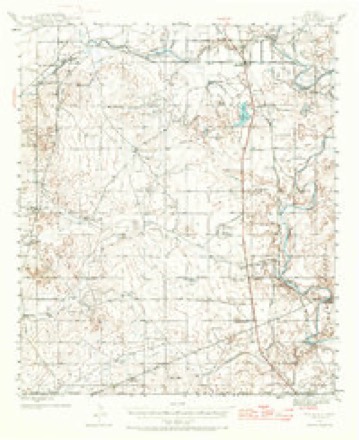
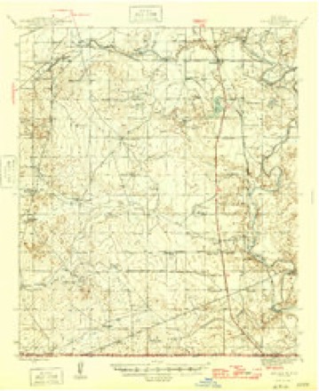
10 topographic sheets cover this place, the earliest surveyed in 1945 and the latest in 1985. It stands in the Loving census division. It lies in ZIP code area 88263. It stands on Willow Creek Ditch. The Survey maps it on the Malaga quadrangle. 112 people lived here at the 2020 count. It stands 3,005 feet above sea level.
Population over time
2 figuresMalaga fell from 147 to 112 between 2010 and 2020. These are the recorded population figures Wikidata holds for this place, reached through the Geographic Names Information System number this page is keyed on rather than by name, so they belong to this place and not to another of the same name. Most are census counts, but not all are: an early figure may be a founding or settlement estimate, and an estimate published within five years of a census is left out. The change column is computed, and is left blank where more than 20 years separate a figure from the one before it, because a gap that long is not a change between two counts.
| Year | People | Change |
|---|---|---|
| 2010 | 147 | |
| 2020 | 112 | -35 (-24%) |
Topographic sheets covering this place
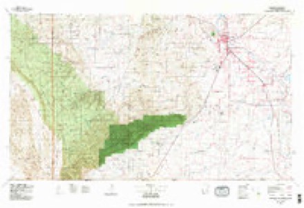
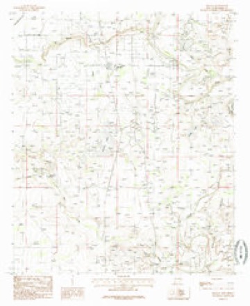
6 surveys from 10 printed sheetsMatched by testing this settlement's coordinate against the published boundary of every sheet in the United States Geological Survey's historical collection. Each opens the scanned sheet at the Survey.
- 1945 USGS Malaga quadrangle1:62500
- 1946 USGS Malaga quadrangle1:62500
- 1954 USGS Carlsbad quadrangle1:250000, 3 printings
- 1958 USGS Carlsbad quadrangle1:250000, 2 printings
- 1979 USGS Carlsbad quadrangle1:100000, 2 printings
- 1985 USGS Malaga quadrangle1:24000
Photographs
1 photograph,Taken for the Office of War Information and the Farm Security Administration, who photographed the country between 1935 and 1944. Works of United States government photographers, with no known restriction on use. Each opens its catalogue record.
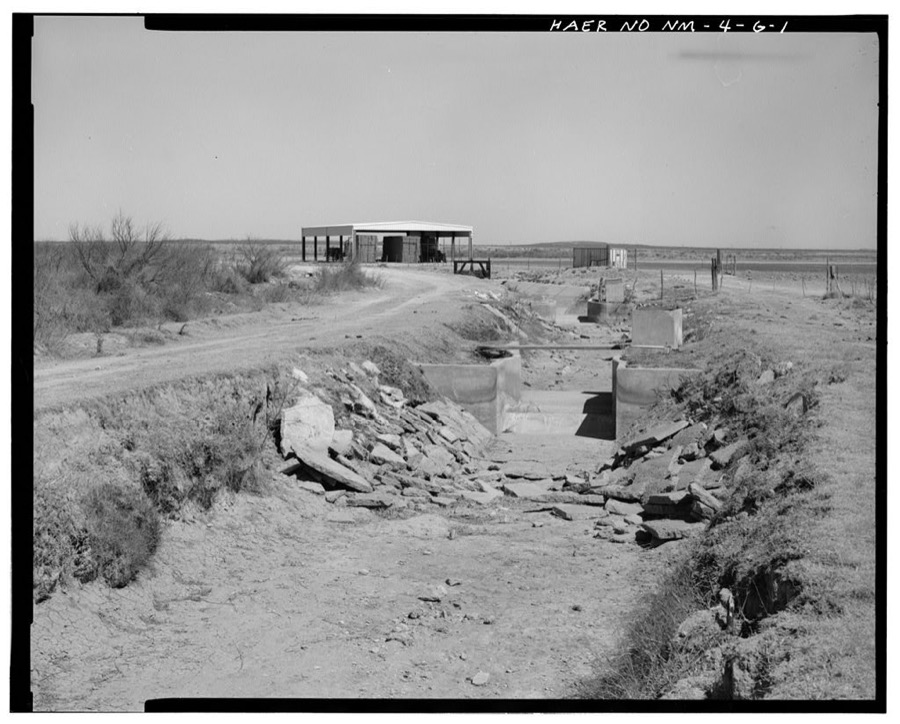
Photographer not recorded. Library of Congress
Fires near this place
53 since 1992Regional context, not property-specific evidence. The federal wildfire occurrence database lists 53 fires within 5 miles of Malaga between 1992 and 2019, burning about 667 acres in total. 2 started naturally. 1 was recorded as arson. Distance is straight-line from the map coordinates, so a fire counted here may appear on a neighbouring settlement's page as well.
| Reported cause | Fires |
|---|---|
| Missing data/not specified/undetermined | 36 |
| Debris and open burning | 7 |
| Equipment and vehicle use | 3 |
| Natural | 2 |
| Power generation/transmission/distribution | 2 |
| Arson/incendiarism | 1 |
| Smoking | 1 |
| Recreation and ceremony | 1 |
The most recent of them, most recent first, with the day each was reported and the service that recorded it.
| Date | Cause | Size | Reported by | Name on the report |
|---|---|---|---|---|
| 8 August 2015 | Missing data/not specified/undetermined | 4.0 acres | Carlsbad Field Office | ASH |
| 6 August 2015 | Missing data/not specified/undetermined | under an acre | Carlsbad Field Office | HIGBY HOLE |
| 6 August 2012 | Missing data/not specified/undetermined | under an acre | Carlsbad Field Office | MM 14 |
| 25 July 2012 | Missing data/not specified/undetermined | under an acre | Carlsbad Field Office | HORSE HEAD |
| 16 July 1994 | Natural | 6.5 acres | Roswell Field Office | KELLY |
| 14 July 1992 | Debris and open burning | 3.0 acres | Roswell Field Office | MALGA |
| 5 June 2011 | Missing data/not specified/undetermined | 5.0 acres | New Mexico State Forestry Division | RABBIT |
| 3 June 2013 | Missing data/not specified/undetermined | under an acre | Carlsbad Field Office | MALAGA |
Settlements close enough to share some of these fires:
Mines and quarries near this place
2 within 5 milesRegional context, not property-specific evidence. The federal mineral resources record lists 2 workings within 5 miles of Malaga: 1 producer, 1 past producer. 1 still produces. What was taken out: Potassium. Distance is straight-line from the map coordinates, so a quarry counted here may appear on a neighbouring settlement's page as well.
| Where | Site | Commodity | Status | Recorded |
|---|---|---|---|---|
| Flotation Plant | Potassium | Producer | ||
| Unknown | Potassium | Past Producer |
Storms near this place
25 since 1995Regional context, not property-specific evidence. The National Weather Service names Malaga in 25 storm reports between 1995 and 2025: 12 hail, 8 thunderstorm wind, 3 flash flood, 1 funnel cloud. No death or injury is recorded in these reports. Each account below is quoted exactly as the forecast office filed it, from the NOAA Storm Events Database, and each date opens the federal record of that event.
| When | Event | Place named | Harm | What the report says |
|---|---|---|---|---|
| March 2019 | Tornado (EF2) | Malaga | $20,000 | A thunderstorm moved across Eddy County and produced a tornado south of Malaga. Based on radar imagery, the tornado appeared to develop just west of U.S. Highway 285, approximately two to three miles south of Malaga and progressed northeast. The exact path could not be determined during a survey due to the tornados containment within private lands, without roads to access the potential path. With insufficient|ground information, the wooden electric power poles along Highway 285 were the only|damage indicators available to assess tornado intensity. Based on radar information, it|appears the Malaga tornado formed at approximately 6:08 pm MDT, just southwest of the power poles on Highway 285 and lifted around 6:30 pm MDT (nearly crossing NM|Highway 128, 3 miles east of junction with NM Highway 31) covering a distance of 15 miles. Damaged power poles along Highway 285 were located slightly further south than was indicated on radar, 3.75 miles to 4.05 miles south of Malaga. This was used as a starting point. With the tornado crossing the power poles at approximately a 45-|degree angle, the width of the tornado was estimated at a half mile. Approximately ten power poles that were damaged to some degree as the tornado crossed Highway 285. The observed damage is consistent with damage of an EF2 tornado, with winds estimated at approximately 112 mph. The cost of damage is a very rough estimate. |
| September 2014 | Flash Flood | Malaga | $20,000 | Heavy rain fell across Eddy County and produced flash flooding in the southeast part of the county. There were ongoing high water rescues in southeast Eddy County near U.S. 285. Two cars were flooded. The Delaware River at this location was reported to be 150 yards wide and flowing fast. The cost of damage is a very rough estimate. |
| July 1998 | Thunderstorm Wind | Malaga | $10,000 | A wet microburst caused damage along Duarte Rd. east of Malaga. A mobile home lost its roof, two pole barns were destroyed, and a carport was heavily damaged. |
| August 2002 | Thunderstorm Wind | Malaga | $5,000 | Law officials reported that high winds from a severe thunderstorm caused blinding dust and downed power lines...creating power outages. |
| April 2012 | Hail | Malaga | $2,000 | A thunderstorm moved through Eddy County and produced half dollar sized hail in Malaga. The hail covered the ground and caused cracks in a windshield and dents on a truck. The cost for the damage to the vehicles is a rough estimate. |
| August 1997 | Thunderstorm Wind | Malaga | $1,000 | Downbursting winds from a thunderstorm ripped a metal roof off a 15x30 ft storage building. |
| September 2022 | Flash Flood | Malaga | $500 | Heavy rain resulted in flash flooding in Eddy County. Several roads were closed along Black River near Malaga. The cost of damage is a very rough estimate. |
| July 1998 | Thunderstorm Wind | Malaga | $500 | Several trees were uprooted along Duarte Road in Malaga. |
| May 2025 | Hail | Malaga | - | A report of ping pong ball-sized hail was received from mPING. |
| May 2025 | Thunderstorm Wind | Malaga | - | The New Mexico Climate Center mesonet station, NMC36 Malaga, recorded a maximum wind gust of 67 MPH. The time is an approximation as communication was lost with the site during the occurrence. |
| June 2025 | Thunderstorm Wind | Malaga | - | The Mesonet station NMC36 Malaga recorded a 67 mph wind gust. The station stopped reporting at 10:55 PM MDT as a line of storms neared, but when it came back online at 12:20 AM MDT (well after the line of storms had passed) it showed a 67 mph wind gust. As such, the time that the gust occurred is estimated from radar and from when the station first stopped reporting (which was likely caused by the severe wind gust). |
| April 2012 | Funnel Cloud | Malaga | - | A severe thunderstorm moved over Eddy county. A farmer reported a very bent, similar to a horseshoe, cloud that extended down from the thunderstorm and a dust cloud at the base. |
| June 2009 | Flash Flood | Malaga | - | Law enforcement reported multiple county roads were barricaded near Malaga, NM due to high water. Sandbags were also used to prevent flooding near homes. |
| March 2007 | Hail | Malaga | - | Penny to quarter size hail fell in a swath along U.S. Highway 285 between Malaga and Loving. |
| June 2005 | Thunderstorm Wind | Malaga | - | The automated fire weather observing station at Paduca (located on the Eddy and Lea County line) recorded 65 MPH wind gusts as a complex of thunderstorms propagated over the southeastern New Mexico plains. |
| May 2005 | Hail | Malaga | - | Penny size hail was reported near Malaga. |
| August 2004 | Thunderstorm Wind | Malaga | - | A severe wind gust was measured on the Eddy/Lea County line at the Paduca RAWS site. |
| October 2004 | Hail | Malaga | - | A second supercell developed near Whites City and propagated east to near Malaga. A storm spotter reported penny size hail along State Highway 7. |
| April 1999 | Hail | Malaga | - | Multicell cluster that moved into NM from Loving County, TX. |
| October 1998 | Hail | Malaga | - | The supercell that hit Whites City and the Black River Village continued on its ENE track into the Loving/Malaga area. Two inch diameter hail fell north of Malaga. |
| May 1995 | Hail | Malaga | - | A severe thunderstorm formed in southwestern Eddy County. The storm began its life moving northeastward, but soon turned right as it became a supercell. Reports received from SKYWARN personnel. |
| May 1995 | Hail | Malaga | - | A severe thunderstorm formed in southwestern Eddy County. The storm began its life moving northeastward but soon turned right and intensified. Reports received from SKYWARN personnel. |
| May 2017 | Hail | Malaga | - | no account filed |
| June 2014 | Hail | Malaga | - | no account filed |
| June 2013 | Hail | Malaga | - | no account filed |
Nearest settlements
The eight closest, with where each one stands in the county. Distances are straight-line, computed from the Geographic Names Information System coordinates.
| Map | Place | Distance | Sheets |
|---|---|---|---|
| Harroun Crossing | 1.7 miles | 10 | |
| Lookout (historical) | 2.2 miles | 10 | |
| Lookout Crossing | 2.5 miles | 10 | |
| Loving | 4.5 miles | 11 | |
| Pierce Canyon Crossing | 5.5 miles | 5 | |
| Harkey Crossing | 6.7 miles | 10 | |
| Black River Village | 9.7 miles | 11 | |
| Otis | 10.1 miles | 11 |
Elsewhere
Matched on this settlement's Geographic Names Information System number rather than its name, so it cannot be a different place of the same name in another state.
| Wikipedia article on Malaga | An encyclopaedic summary. Its text is share-alike, so it is linked here rather than copied. |
| Wikidata item Q6035360 | The structured record the population and elevation above come from. Public domain (CC0). |
Provenance
This settlement is recorded in the Geographic Names Information System as feature 891551. The sheet list is computed by point-in-boundary test against the United States Geological Survey's historical topographic inventory. Both are works of the United States government and carry no copyright under 17 U.S.C. 105.
Wildfire. Short, Karen C. 2022. Spatial wildfire occurrence data for the United States, 1992-2020 [FPA_FOD_20221014]. 6th Edition. Fort Collins, CO: Forest Service Research Data Archive. https://doi.org/10.2737/RDS-2013-0009.6 Collected with United States Government funding and usable without additional permissions or fees.
Mines and quarries. USGS Mineral Resources Data System (MRDS) https://mrdata.usgs.gov/mrds/ A work of the United States government, no copyright under 17 U.S.C. 105.
Storms. NOAA National Centers for Environmental Information, Storm Events Database https://www.ncei.noaa.gov/stormevents/ A work of the United States government, no copyright under 17 U.S.C. 105. Narratives are quoted verbatim from the National Weather Service report and are not edited or summarised.