 Block
Shiprock, New Mexico
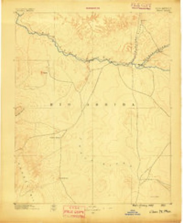
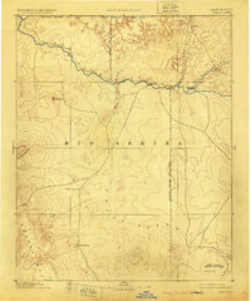
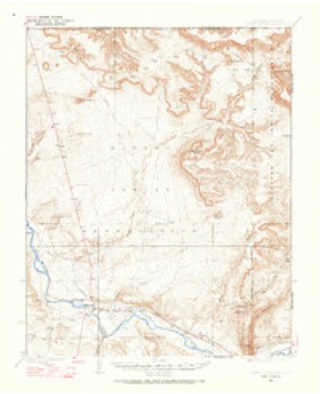
19 topographic sheets cover this place, the earliest surveyed in 1889 and the latest in 1983. It stands in the Shiprock-Sanostee census division. It lies in ZIP code area 87420. It stands on Baker Arroyo. The Survey maps it on the Shiprock quadrangle. 7,718 people lived here at the 2020 count. It stands 4,895 feet above sea level.
On record in Shiprock
Buildings and businesses the archive holds for this place. Each opens its own page, with the source record it came from.
On the National Register 1 record
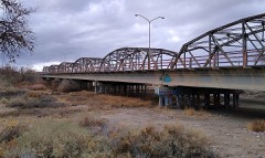 San Juan River Bridge at Shiprocklisted 1997
Surveyed buildings and structures 3 records
- Shiprock Boarding School, Boiler Room, 1206 Pinon Street, Navajo Nation Reservation, Shiprockfederal building survey, 9 photographs
- Shiprock Boarding School, Fire Station, 1206 Pinon Street, Navajo Nation Reservation, Shiprockfederal building survey, 6 photographs
- Shiprock Headquarters, Building No. 124, 0.4 Mile East of Intersection US Highways 666 & 64, Shiprockfederal building survey, 14 photographs
Population over time
3 figuresShiprock fell from 8,156 to 7,718 between 2000 and 2020. These are the recorded population figures Wikidata holds for this place, reached through the Geographic Names Information System number this page is keyed on rather than by name, so they belong to this place and not to another of the same name. Most are census counts, but not all are: an early figure may be a founding or settlement estimate, and an estimate published within five years of a census is left out. The change column is computed, and is left blank where more than 20 years separate a figure from the one before it, because a gap that long is not a change between two counts.
| Year | People | Change |
|---|---|---|
| 2000 | 8,156 | |
| 2010 | 8,295 | +139 (+2%) |
| 2020 | 7,718 | -577 (-7%) |
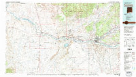
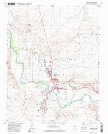
Topographic sheets covering this place
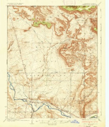
9 surveys from 19 printed sheetsMatched by testing this settlement's coordinate against the published boundary of every sheet in the United States Geological Survey's historical collection. Each opens the scanned sheet at the Survey.
- 1889 USGS Chaco quadrangle1:250000
- 1892 USGS Chaco quadrangle1:250000, 5 printings
- 1934 USGS Chimney Rock quadrangle1:62500
- 1936 USGS Chimney Rock quadrangle1:62500, 2 printings
- 1954 USGS Shiprock quadrangle1:250000, 5 printings
- 1958 USGS Shiprock quadrangle1:250000
- 1959 USGS Shiprock quadrangle1:250000
- 1980 USGS Farmington quadrangle1:100000, 2 printings
- 1983 USGS Shiprock quadrangle1:24000
Photographs
2 photographs,Taken for the Office of War Information and the Farm Security Administration, who photographed the country between 1935 and 1944. Works of United States government photographers, with no known restriction on use. Each opens its catalogue record.
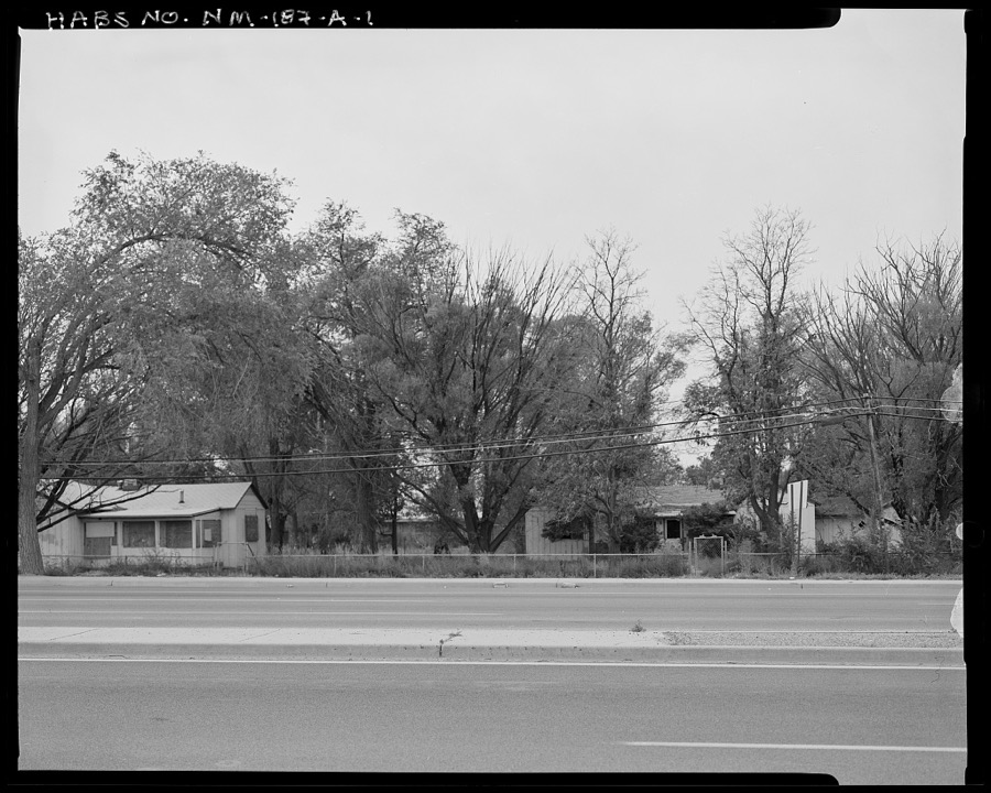
Photographer not recorded. Library of Congress
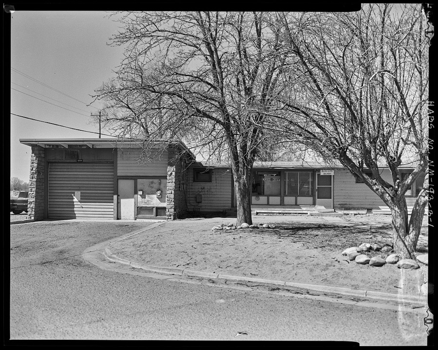
Photographer not recorded. Library of Congress
Fires near this place
307 since 2000Regional context, not property-specific evidence. The federal wildfire occurrence database lists 307 fires within 5 miles of Shiprock between 2000 and 2020, burning about 2,380 acres in total. 3 started naturally. 65 were recorded as arson. Distance is straight-line from the map coordinates, so a fire counted here may appear on a neighbouring settlement's page as well.
| Reported cause | Fires |
|---|---|
| Debris and open burning | 192 |
| Arson/incendiarism | 65 |
| Missing data/not specified/undetermined | 20 |
| Equipment and vehicle use | 9 |
| Misuse of fire by a minor | 6 |
| Fireworks | 4 |
| Other causes | 3 |
| Natural | 3 |
| Smoking | 2 |
| Power generation/transmission/distribution | 2 |
| Recreation and ceremony | 1 |
The most recent of them, most recent first, with the day each was reported and the service that recorded it.
| Date | Cause | Size | Reported by | Name on the report |
|---|---|---|---|---|
| 9 September 2020 | Debris and open burning | under an acre | Navajo Region Fire and Aviation Management | CUDEI 3 |
| 7 September 2020 | Debris and open burning | under an acre | Navajo Region Fire and Aviation Management | MESA FARM 4 |
| 7 September 2019 | Natural | under an acre | Navajo Region Fire and Aviation Management | SQUIRREL SPRINGS |
| 7 September 2016 | Debris and open burning | 4.0 acres | Navajo Region Fire and Aviation Management | RANGE 5 |
| 30 September 2019 | Arson/incendiarism | under an acre | Navajo Region Fire and Aviation Management | SHIPROCK 9 |
| 27 September 2020 | Debris and open burning | 1.0 acres | Navajo Region Fire and Aviation Management | 3RD LANE 1 |
| 23 September 2019 | Power generation/transmission/distribution | under an acre | Navajo Region Fire and Aviation Management | SHIPROCK 8 |
| 21 September 2019 | Arson/incendiarism | under an acre | Navajo Region Fire and Aviation Management | HOGBACK 6 |
Settlements close enough to share some of these fires:
Mines and quarries near this place
8 within 5 milesRegional context, not property-specific evidence. The federal mineral resources record lists 8 workings within 5 miles of Shiprock: 6 unknowns, 1 past producer, 1 producer. 1 still produces. What was taken out: Sand and Gravel, Construction, Uranium, Vanadium. Distance is straight-line from the map coordinates, so a quarry counted here may appear on a neighbouring settlement's page as well.
| Where | Site | Commodity | Status | Recorded |
|---|---|---|---|---|
| Nelson Pt and Shady Side | Uranium, Vanadium | Past Producer | ||
| A.L.Cook Prospect | Uranium | Unknown | ||
| Materials Pit | Sand and Gravel, Construction | Unknown | ||
| Neca Pit | Sand and Gravel, Construction | Unknown | ||
| Pit No 71-21-S | Sand and Gravel, Construction | Unknown | ||
| Shiprock Gravel Pit | Sand and Gravel, Construction | Unknown | ||
| Shiprock Gravel Pit | Sand and Gravel, Construction | Unknown | ||
| Shiprock Pit | Sand and Gravel, Construction | Producer |
Storms near this place
8 since 1999Regional context, not property-specific evidence. The National Weather Service names Shiprock in 8 storm reports between 1999 and 2024: 4 flash flood, 2 heavy rain, 1 thunderstorm wind, 1 tornado. The reports record 1 death and 4 injuries. Each account below is quoted exactly as the forecast office filed it, from the NOAA Storm Events Database, and each date opens the federal record of that event.
| When | Event | Place named | Harm | What the report says |
|---|---|---|---|---|
| July 1999 | Heavy Rain | Shiprock | 1 killed, 4 hurt | Heavy rain which reduced visibility to near zero was blamed for a head-on motor vehicle collision that left one man dead and 4 others injured. |
| August 2016 | Flash Flood | Shiprock | $1,000,000 | Serious flash flooding developed on Salt Creek Wash and created major damage to a community near Mesa Farm Road. Three to four homes were severely damaged and one home was destroyed. Several vehicles, motorcycles, recreational vehicles washed into creek and destroyed. Water rescues occurred from roof tops and amazingly no one was killed. |
| August 2024 | Flash Flood | Shiprock | $500,000 | Heavy runoff within the Baker Arroyo jumped out and flooded west and south, impacting U.S. Highway 64, Christ the King Catholic Church, the Central Consolidated School District and the Chat and Chew restaurant. At least two homes were destroyed or made uninhabitable. Damage cost is an estimate. |
| August 2024 | Flash Flood | Shiprock | $100,000 | Heavy runoff within the Salt Creek Wash overtopped a bridge along Farm Road or B.I.A. 364 and nearby homes. Vegetation overgrowth exacerbated these flood waters. Yellow Arroyo also flooded out over property, homes and nearby roadways from the same round of thunderstorms. Damage cost is an estimate. |
| July 2001 | Heavy Rain | Shiprock | $100,000 | The main building of Shiprock High School suffered a roof collapse during a storm with heavy rain and gusty winds. A 20-foot section of collapsed roof severed a 4 inch fire-sprinkler water pipe which then caused flooding of 12-15 classrooms. Storm drains along Highway 64 clogged and produced some road and street flooding. |
| September 2010 | Thunderstorm Wind | Shiprock | $20,000 | A mobile home was overturned just south of U.S. 64 in Shiprock. The trailer had just moved to this location one month prior, and was not yet anchored down nor hooked up to any utilities. It sat atop it's wheels on one end and concrete blocks on another. There was no mobile home skirt around the trailer to prevent wind from going underneath. It appeared that the trailer rolled off the concrete blocks onto its side, and then again onto its roof. Two people were inside, but escaped without any major injuries. |
| September 2003 | Flash Flood | Shiprock | $20,000 | no account filed |
| September 2013 | Tornado (EF0) | Shiprock | - | Tropical funnel cloud touched ground for a couple minutes near Shiprock. Location and time determined from radar imagery and photos sent from print media and a NWS family relative. No damage reported. |
Nearest settlements
The eight closest, with where each one stands in the county. Distances are straight-line, computed from the Geographic Names Information System coordinates.
| Map | Place | Distance | Sheets |
|---|---|---|---|
| Rattlesnake | 6.4 miles | 20 | |
| Cudei | 6.9 miles | 20 | |
| Waterflow | 11.0 miles | 18 | |
| Nenahnezad | 14.7 miles | 21 | |
| Fruitland | 15.8 miles | 21 | |
| Cottonwood | 16.7 miles | 18 | |
| Kirtland | 17.7 miles | 20 | |
| Ojo Amarillo | 18.0 miles | 20 |
Elsewhere
Matched on this settlement's Geographic Names Information System number rather than its name, so it cannot be a different place of the same name in another state.
| Wikipedia article on Shiprock | An encyclopaedic summary. Its text is share-alike, so it is linked here rather than copied. |
| Wikidata item Q2006486 | The structured record the population and elevation above come from. Public domain (CC0). |
Provenance
This settlement is recorded in the Geographic Names Information System as feature 902354. The sheet list is computed by point-in-boundary test against the United States Geological Survey's historical topographic inventory. Both are works of the United States government and carry no copyright under 17 U.S.C. 105.
Wildfire. Short, Karen C. 2022. Spatial wildfire occurrence data for the United States, 1992-2020 [FPA_FOD_20221014]. 6th Edition. Fort Collins, CO: Forest Service Research Data Archive. https://doi.org/10.2737/RDS-2013-0009.6 Collected with United States Government funding and usable without additional permissions or fees.
Mines and quarries. USGS Mineral Resources Data System (MRDS) https://mrdata.usgs.gov/mrds/ A work of the United States government, no copyright under 17 U.S.C. 105.
Storms. NOAA National Centers for Environmental Information, Storm Events Database https://www.ncei.noaa.gov/stormevents/ A work of the United States government, no copyright under 17 U.S.C. 105. Narratives are quoted verbatim from the National Weather Service report and are not edited or summarised.