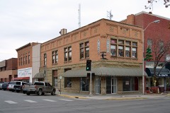
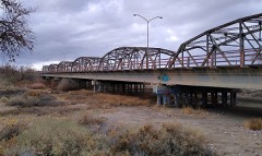
Block
From the record
21 National Register listings published here.
Sources: the National Register database, National Park Service
123 topographic sheets and 8 fire insurance atlases across 2 places.
21 National Register listings published here.
Sources: the National Register database, National Park Service
Taken for the Office of War Information and the Farm Security Administration, who photographed the country between 1935 and 1944. Works of United States government photographers, with no known restriction on use. Each opens its catalogue record.
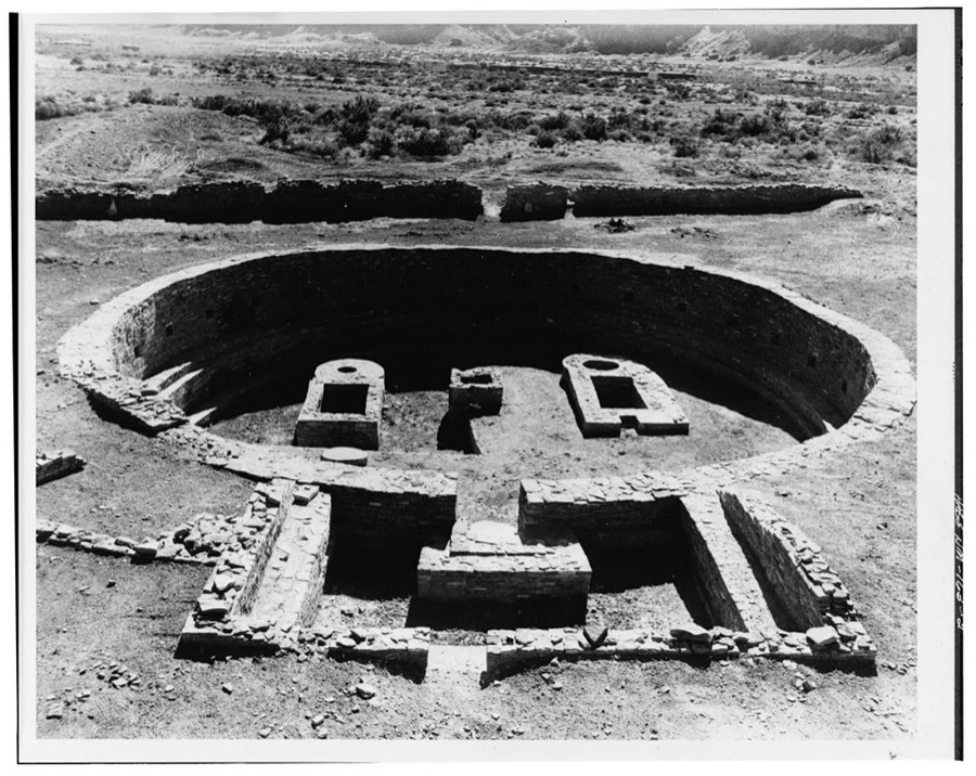

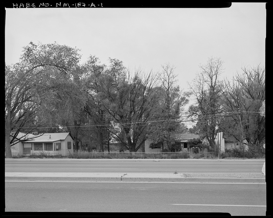
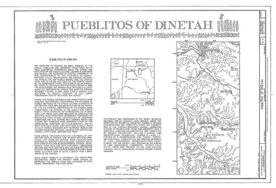
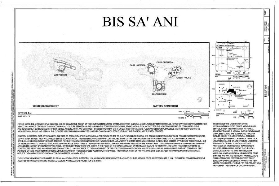
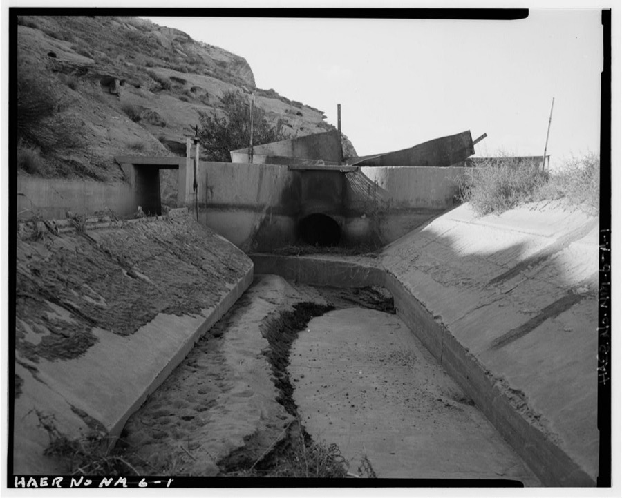
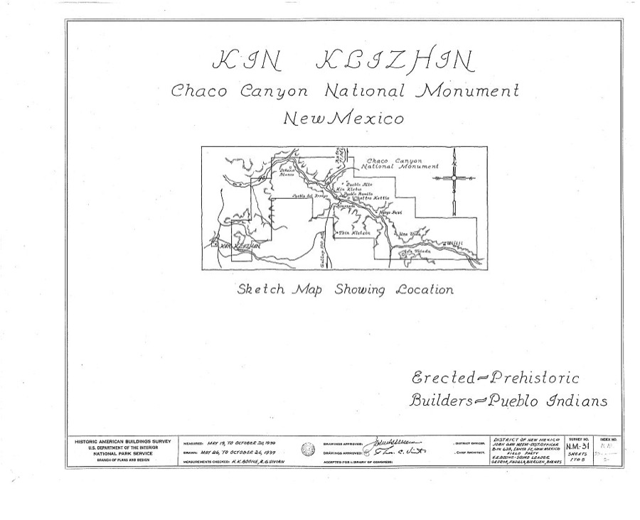
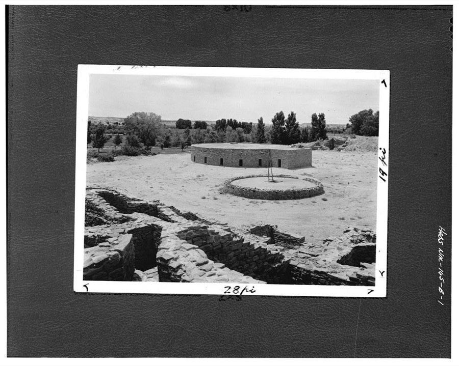
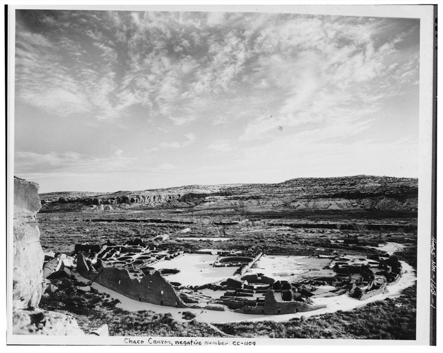
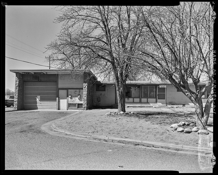
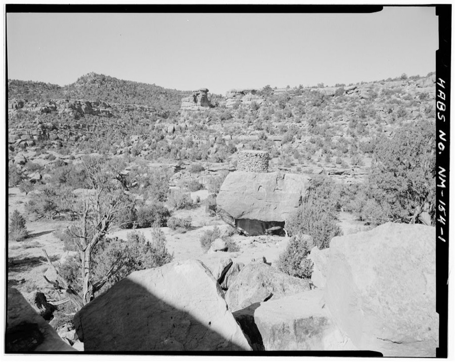
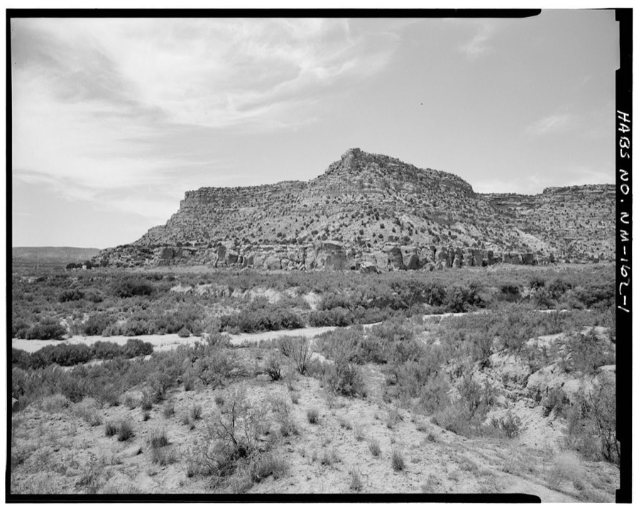
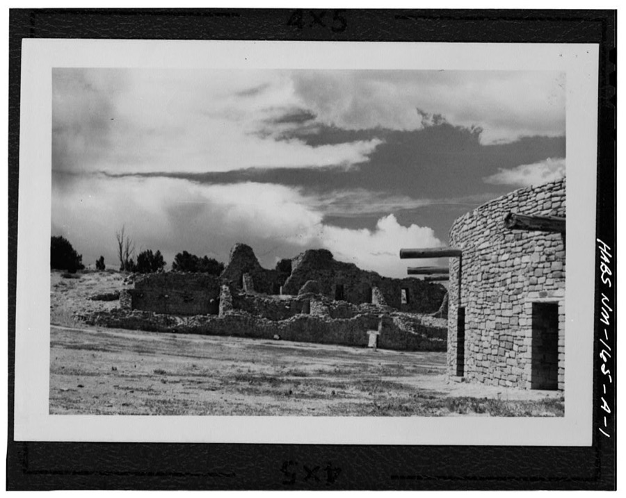
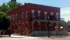
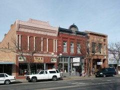
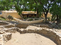
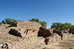
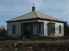
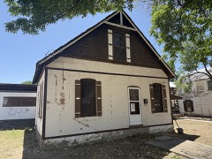
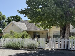
Every property in this county listed on the National Register of Historic Places, with the year it was listed and the federal nomination document.
Sampled issues, machine-read from the Library of Congress scan and published page by page, so every headline and column is searchable text.
Farmington, N.M., 1891 to 1900. Machine-read from the Library of Congress scan.
Aztec, N.M., 1890 to 19??. Machine-read from the Library of Congress scan.
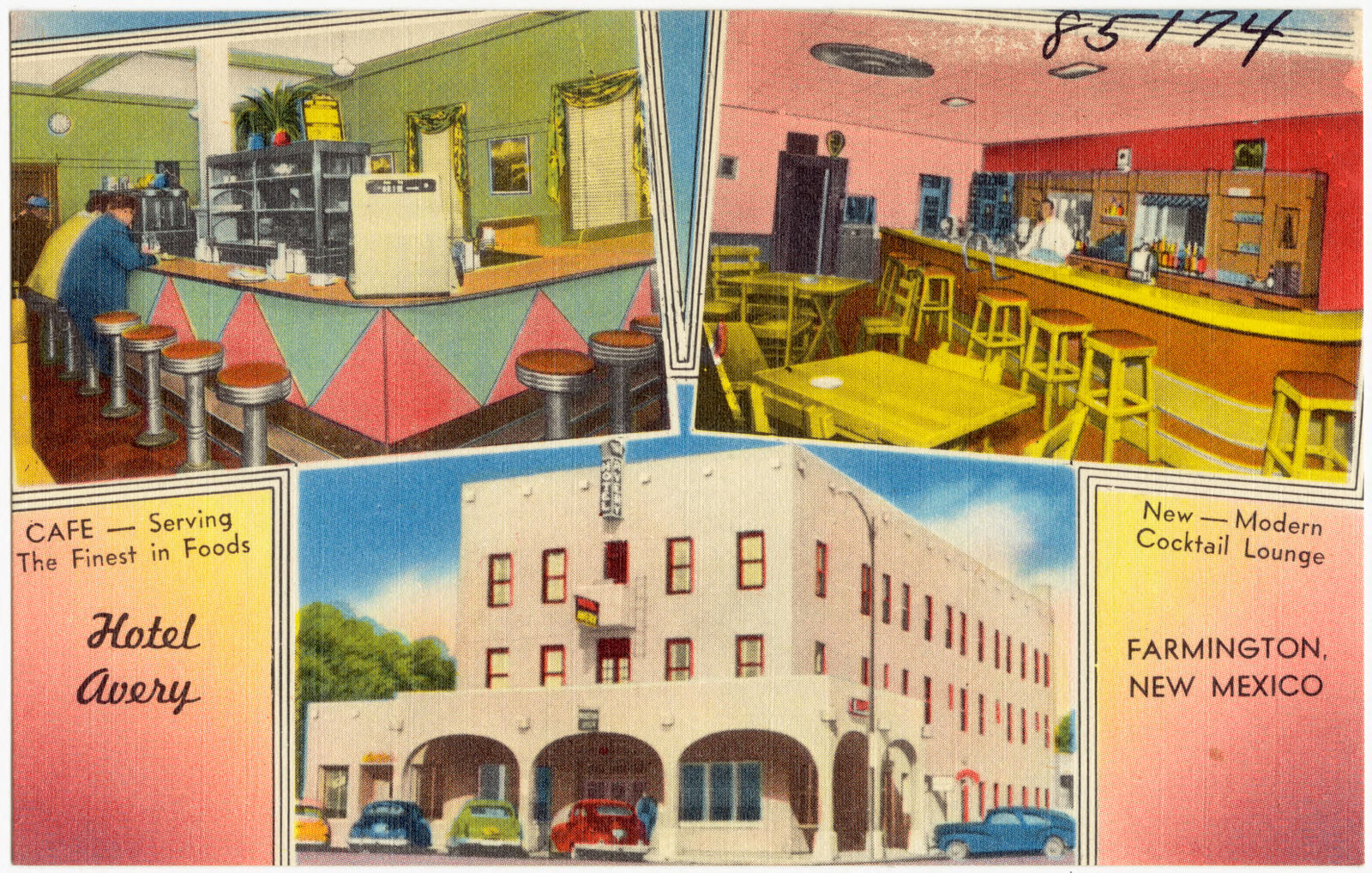
Selected from the Digital Public Library of America's 1 image records catalogued for this county. Every one shown here carries a public-domain status or a licence that permits reuse on a site that carries advertising; non-commercial, share-alike and restricted images are excluded. The selection is spread across the county's towns (at most eight per town), so no single institution's bulk upload crowds out the rest. Each opens the holding library's record, and the complete set at the Digital Public Library of America is one click away.
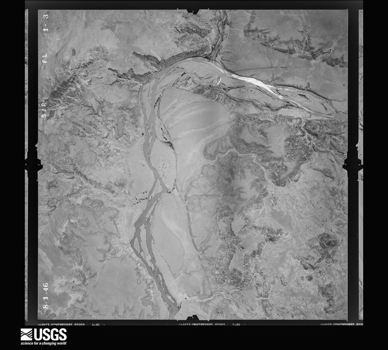
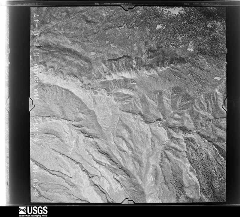
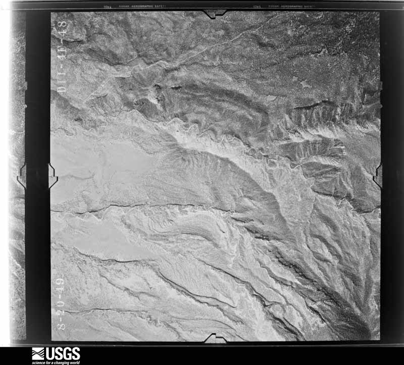
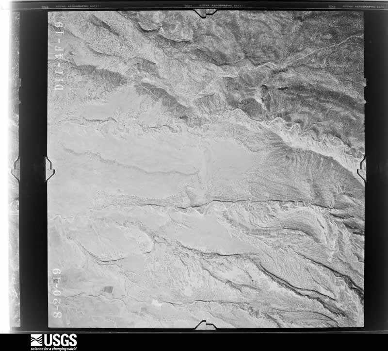
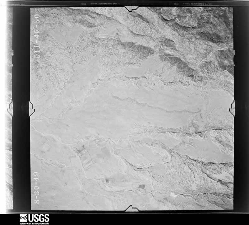
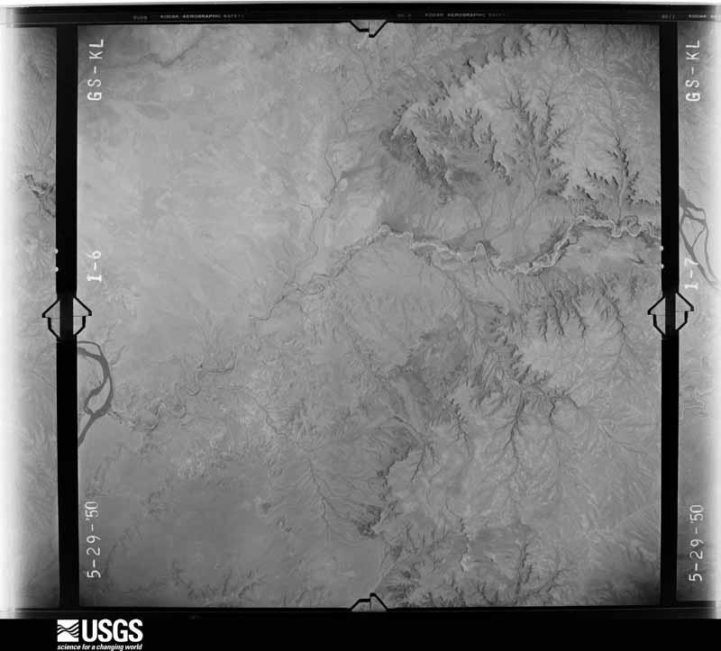
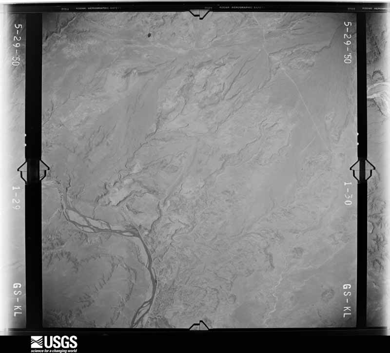
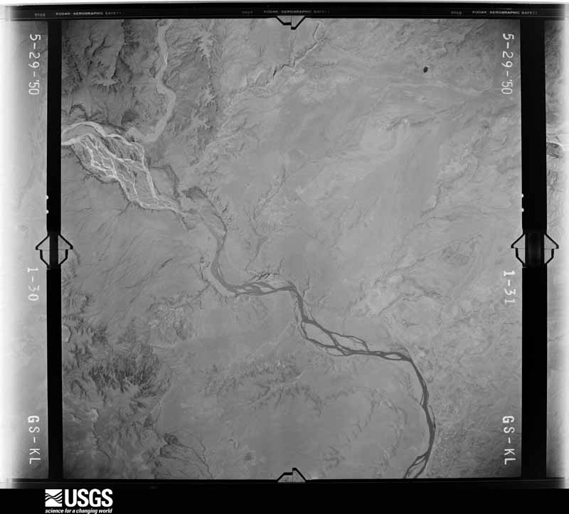
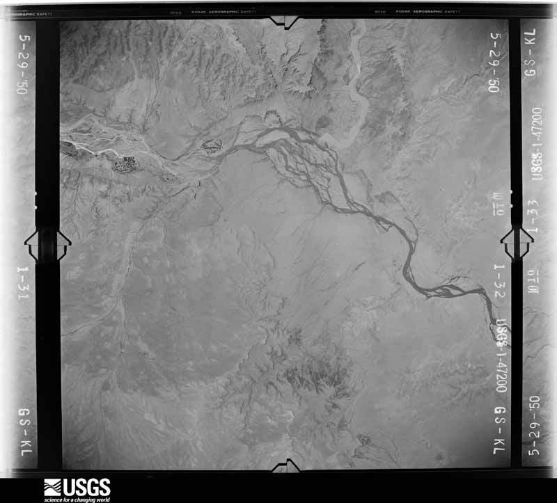
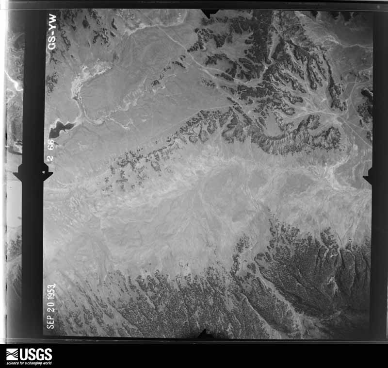
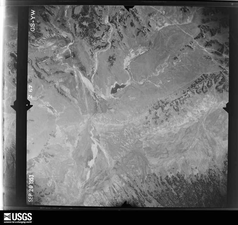
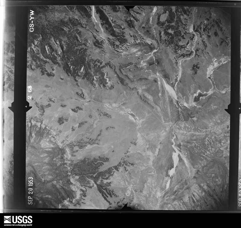
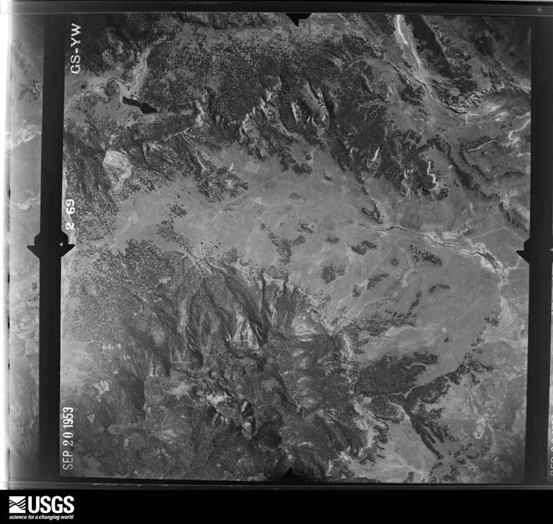
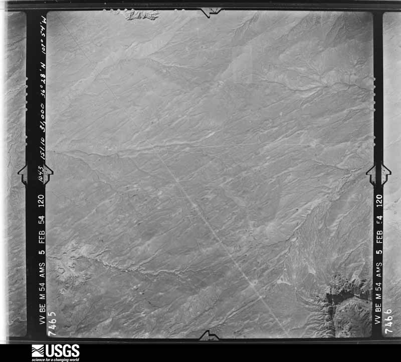
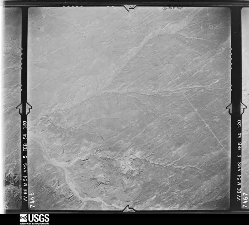
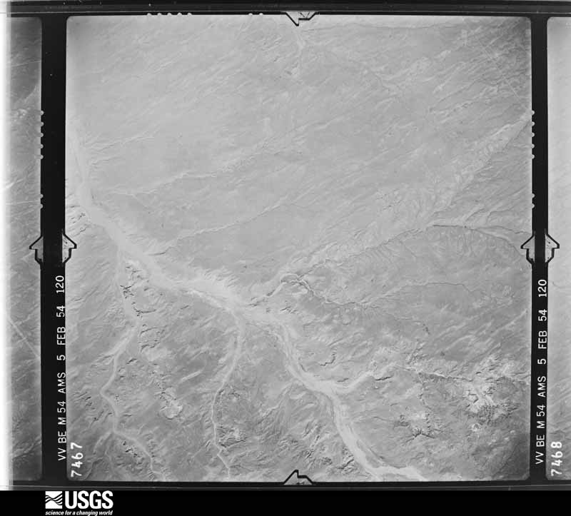
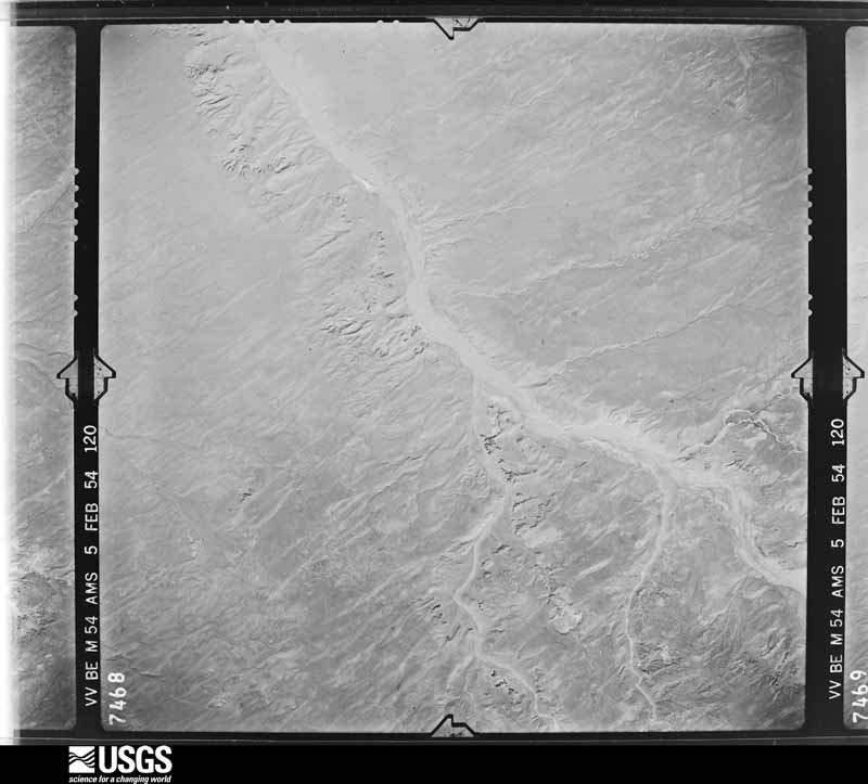
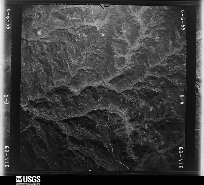
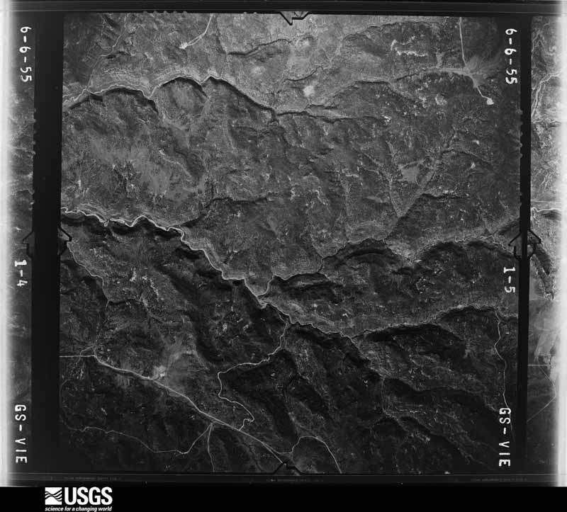
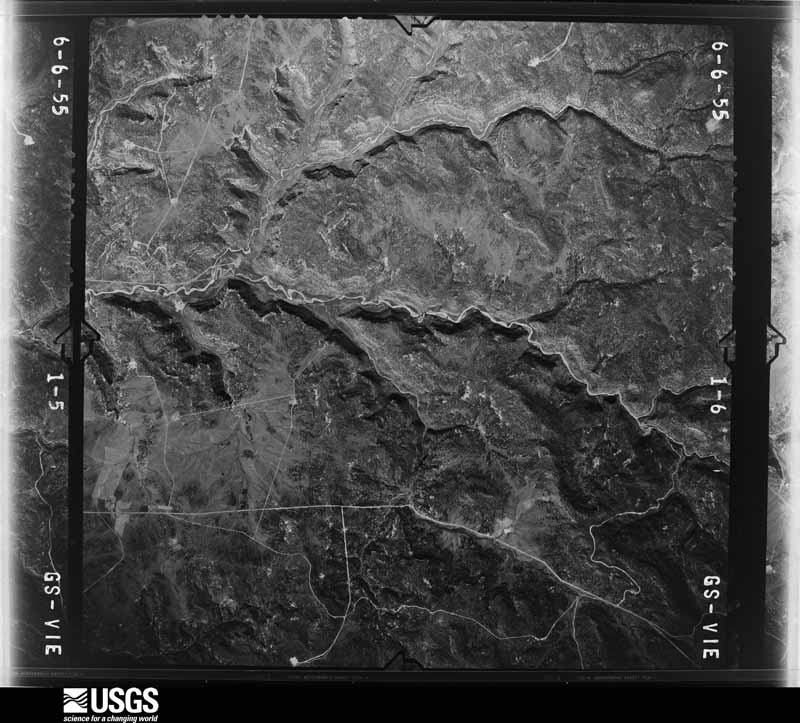
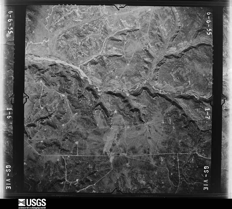
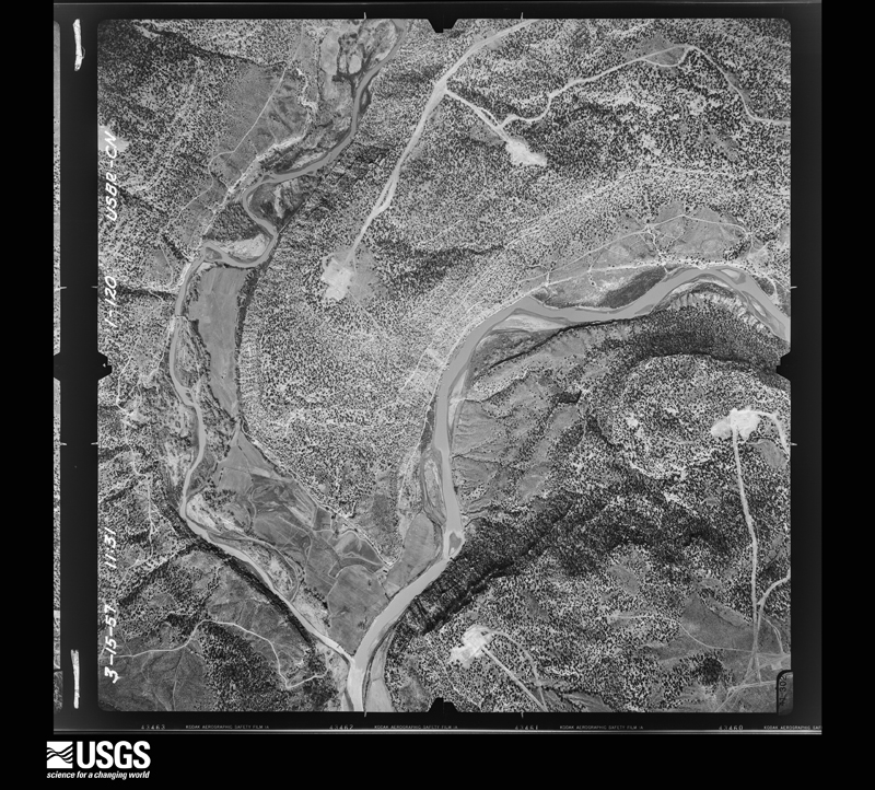
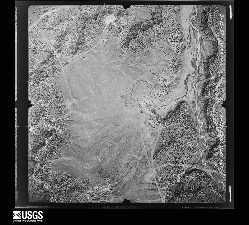
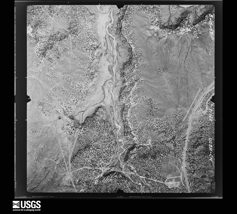
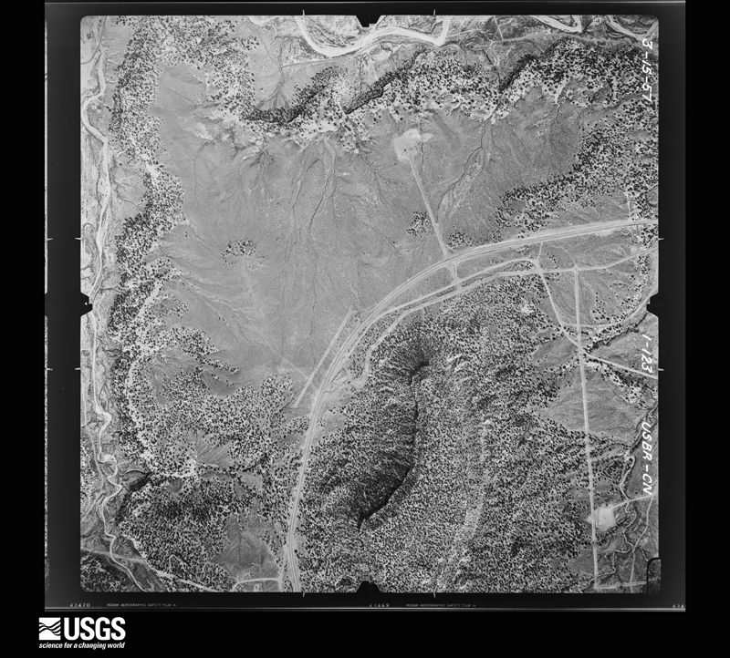
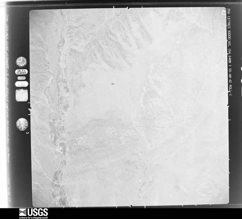
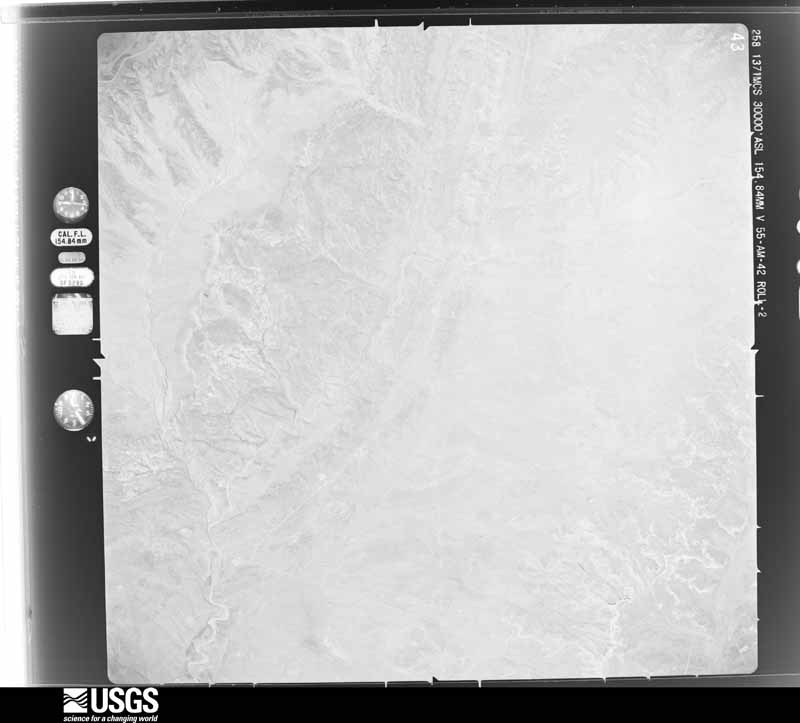
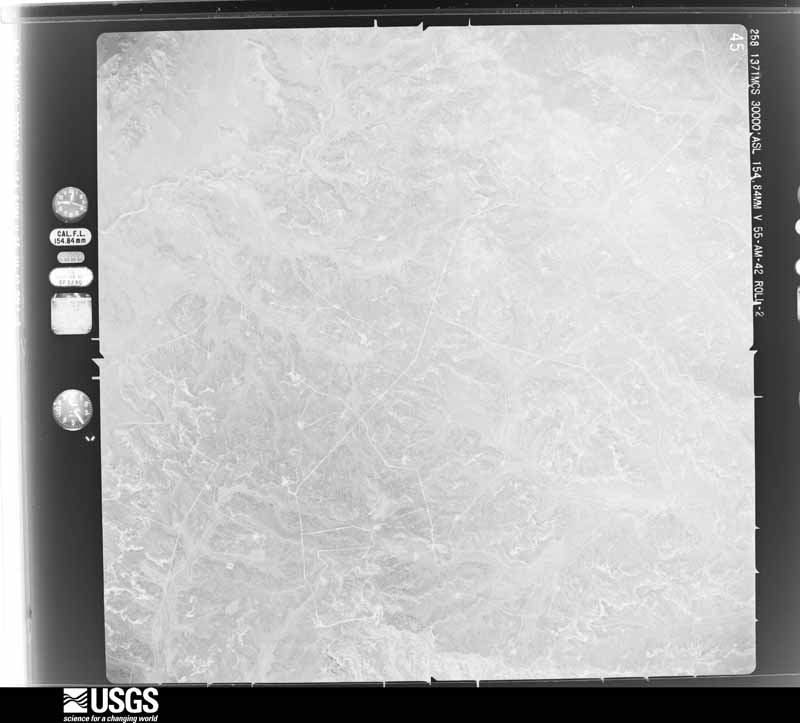
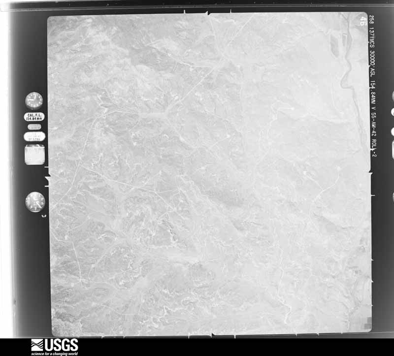
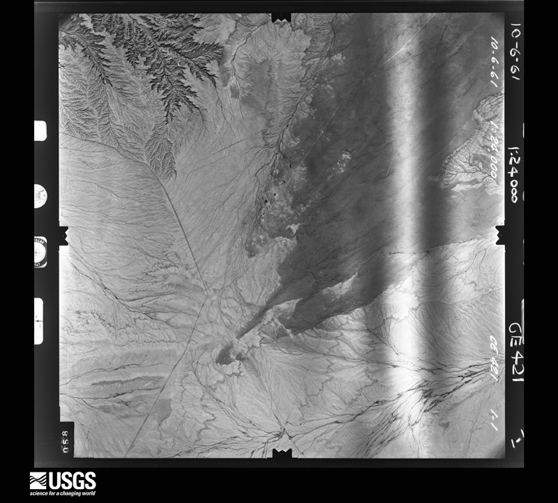
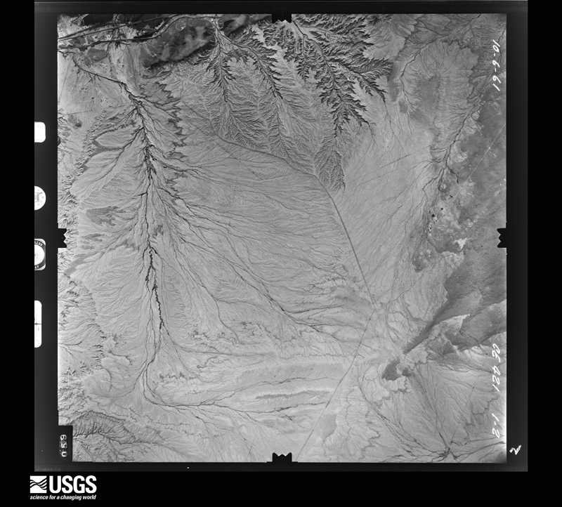
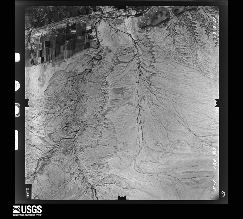
Flown by the U.S. Geological Survey between 1937 and 1989, the Aerial Photo Single Frames collection is the definitive mid-century view of the land: fields, roads and rivers as the camera saw them. The Survey holds 12,555 frames inside the rectangle that bounds this county; the 48 frames below were taken over the county itself, chosen across the decades of flights (at most four a year from that rectangle), so one flight cannot crowd out the rest. The full set is free to browse and download at EarthExplorer under the dataset Aerial Photo Single Frames.
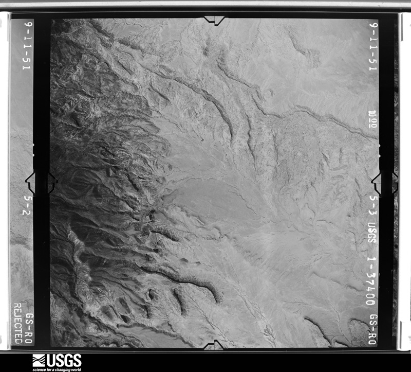
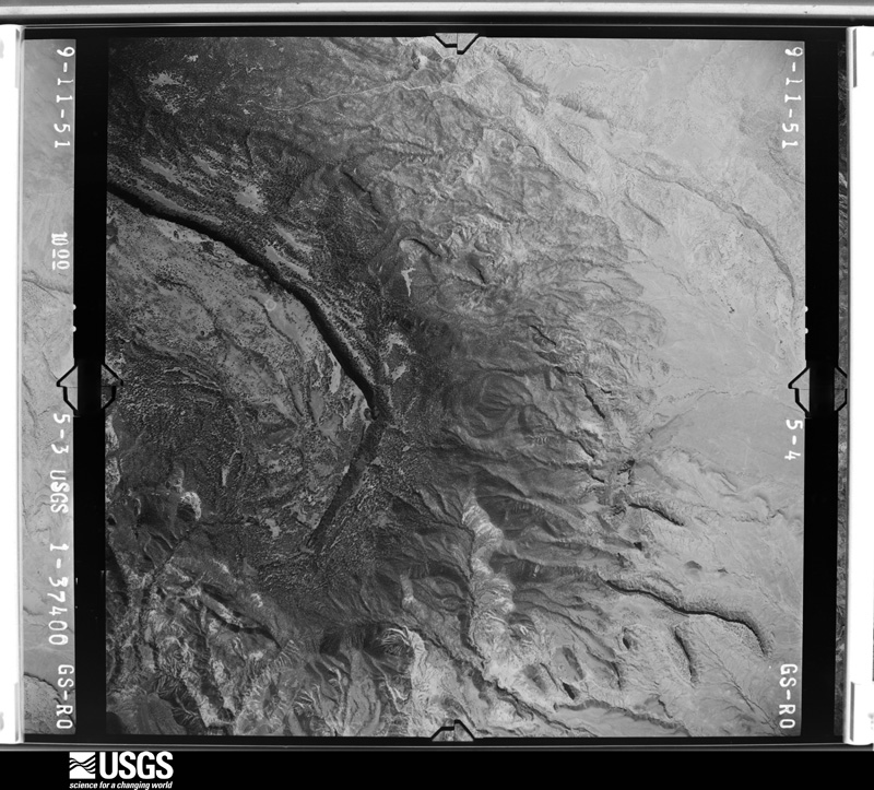
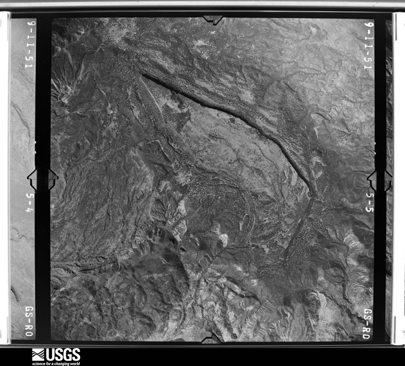
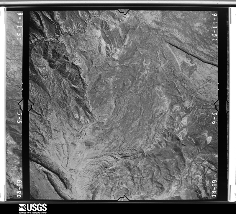
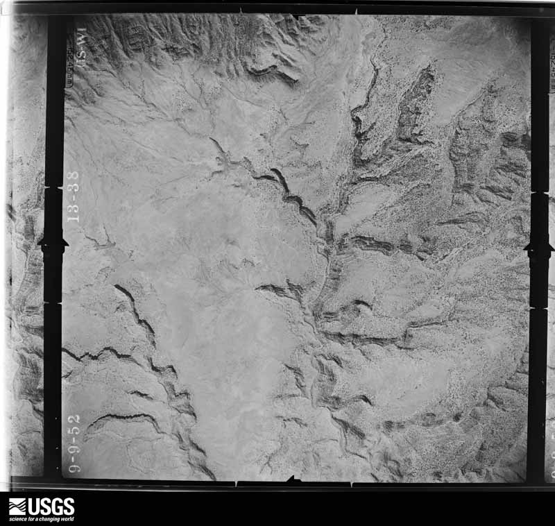
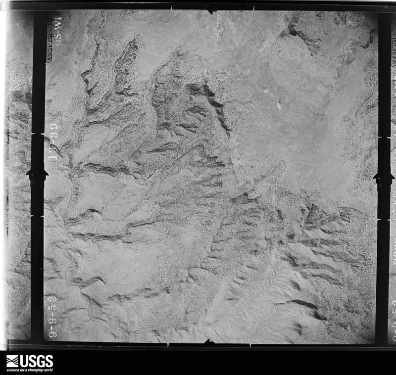
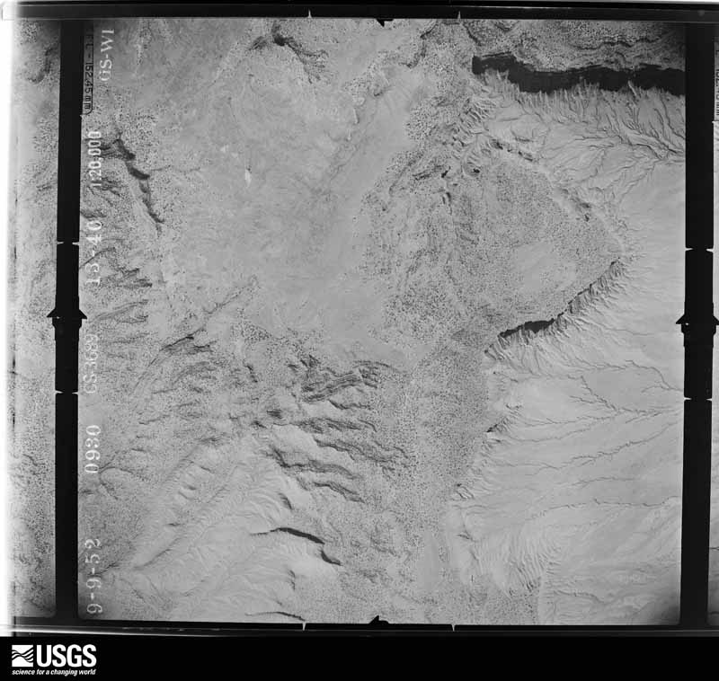
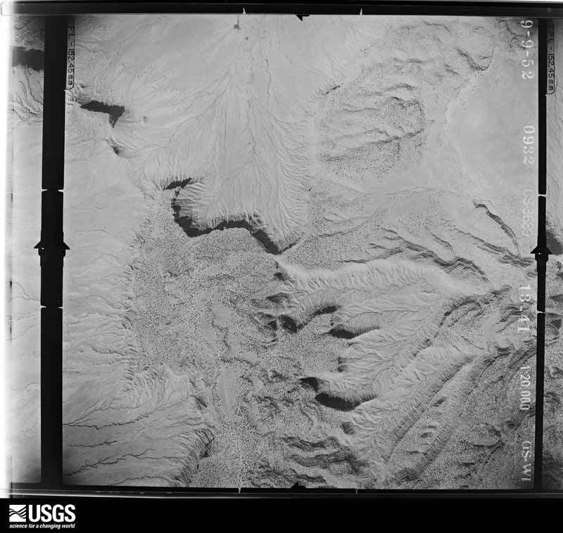
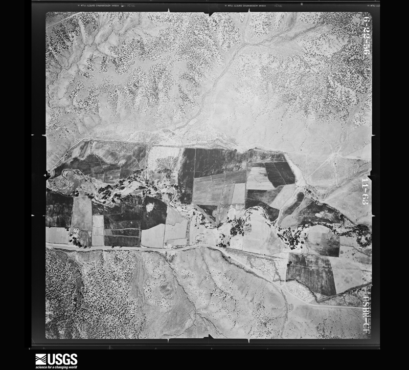
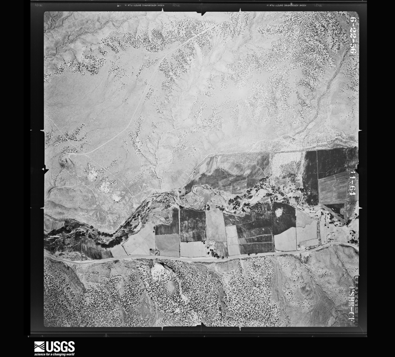
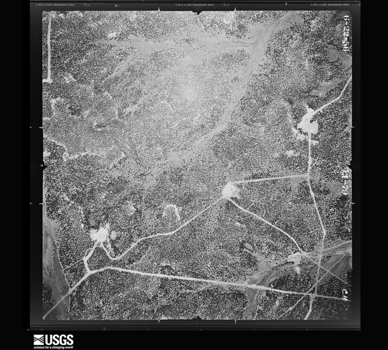
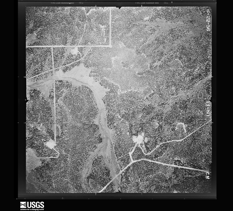
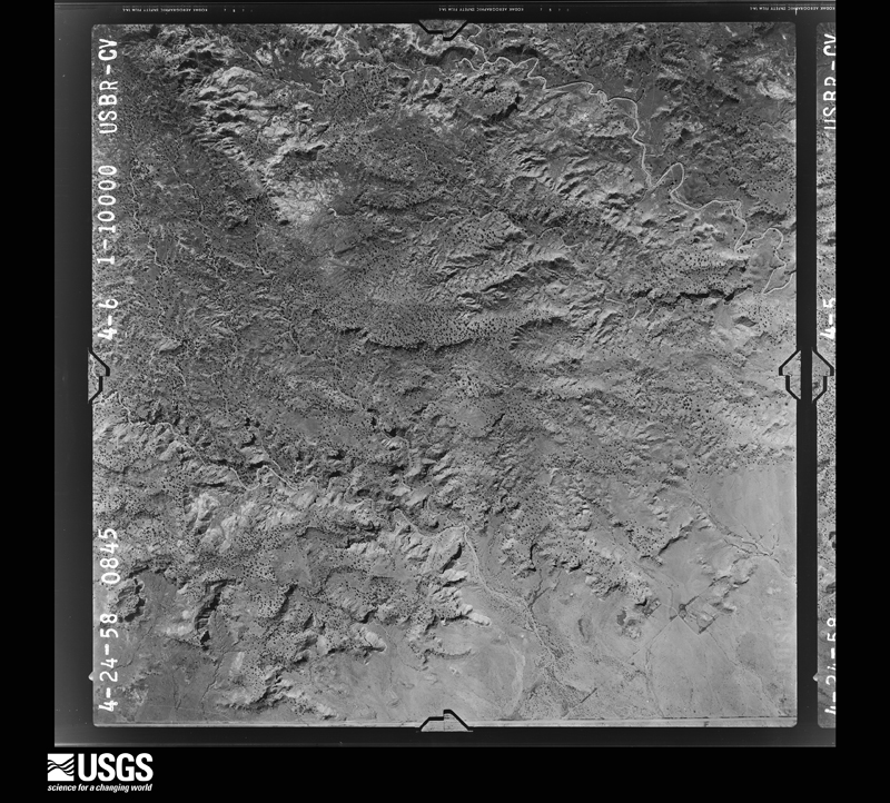
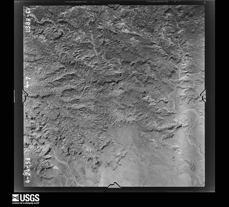
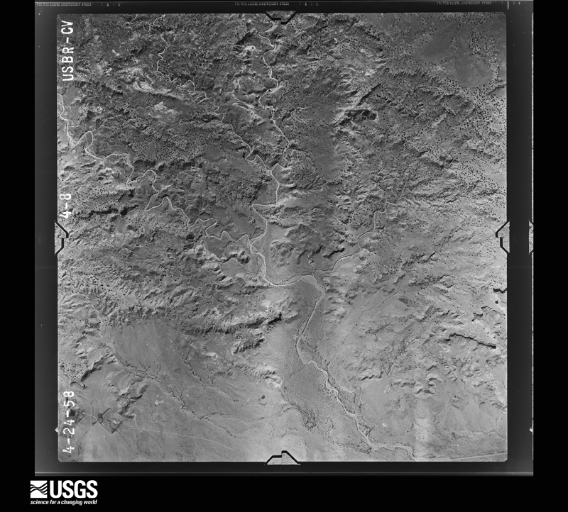
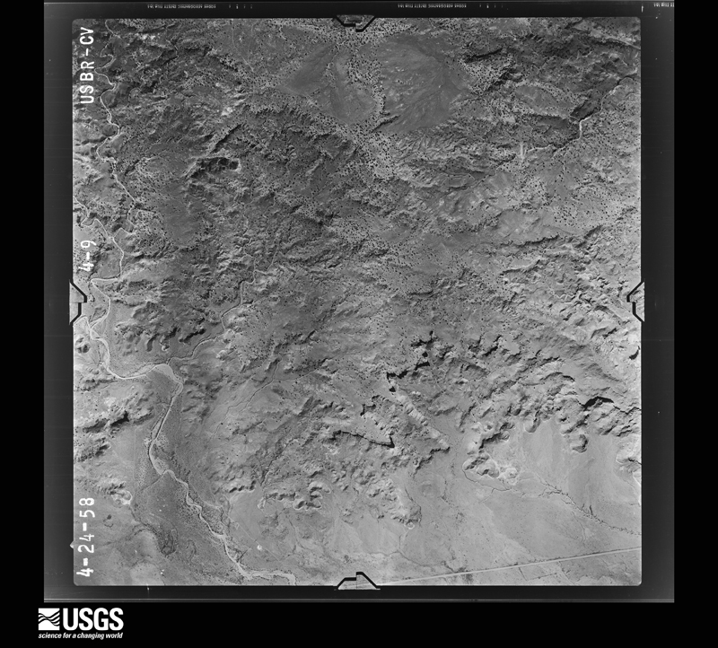
The thermometers that kept this county's weather, and the gages that measured the flow of its streams, as the federal records hold them. The extremes below are measured values from those records, not estimates.
Who lived here in 1950, one enumeration district at a time, as the Census Bureau described each district. Each row opens its official National Archives result, with Population Schedules and ED Maps available there.
Every wildfire the federal occurrence database records inside this county: 2,646 of them, burning about 11,694 acres. 1,466 started naturally and 164 were recorded as arson. Each settlement page carries the fires within five miles of it.
| Reported cause | Fires |
|---|---|
| Natural | 1466 |
| Debris and open burning | 585 |
| Missing data/not specified/undetermined | 183 |
| Arson/incendiarism | 164 |
| Equipment and vehicle use | 96 |
| Recreation and ceremony | 45 |
| Misuse of fire by a minor | 39 |
| Fireworks | 24 |
| Smoking | 21 |
| Power generation/transmission/distribution | 12 |
| Other causes | 10 |
| Railroad operations and maintenance | 1 |
The five largest, by the area the report gives. None of them was recorded as arson.
| Date | Cause | Size | Reported by | Name on the report |
|---|---|---|---|---|
| 26 May 2012 | Recreation and ceremony | 923 acres | Navajo Region Fire and Aviation Management | TOADLENA 1 |
| 6 May 2002 | Recreation and ceremony | 766 acres | Navajo Region Fire and Aviation Management | TOADLENA 1 |
| 28 July 2005 | Debris and open burning | 465 acres | Navajo Region Fire and Aviation Management | 371/N5ROAD |
| 17 September 2012 | Natural | 445 acres | Navajo Region Fire and Aviation Management | E SANDSPRINGS |
| 4 May 2006 | Missing data/not specified/undetermined | 383 acres | Navajo Region Fire and Aviation Management | SHIPROCK 5 |
| 18 June 2012 | Missing data/not specified/undetermined | 363 acres | Farmington Field Office | CR 4901 |
| 29 April 2018 | Debris and open burning | 214 acres | Navajo Region Fire and Aviation Management | 5TH LANE SOUTH |
| 21 June 2008 | Fireworks | 200 acres | Navajo Region Fire and Aviation Management | BEAUTIFUL MTN |
Every settlement page carries the fires within five miles of it - see the settlement index below.
The NOAA Storm Events Database holds 154 reports for this county, causing 5 deaths, 11 injuries and about $11,319,500 in recorded property damage. Each settlement page carries the reports that name it.
| Kind of event | Reports |
|---|---|
| Flash Flood | 53 |
| Thunderstorm Wind | 51 |
| Hail | 27 |
| Tornado | 11 |
| Lightning | 5 |
| Heavy Rain | 4 |
| Funnel Cloud | 1 |
| Heat | 1 |
| Flood | 1 |
The most serious of them, by death, then injury, then recorded damage. The accounts are quoted exactly as the forecast office filed them.
| When | Event | Place named | Harm | What the report says |
|---|---|---|---|---|
| July 1999 | Heavy Rain | Shiprock | 1 killed, 4 hurt | Heavy rain which reduced visibility to near zero was blamed for a head-on motor vehicle collision that left one man dead and 4 others injured. |
| August 2003 | Lightning | Sheep Spgs | 1 killed, 1 hurt | A 16 year female attending a church leadership outing in the Chuska Mountains died one day after being struck by lightning. A 15 year old male also sustained minor injuries. |
| August 2016 | Flash Flood | Turley | 1 killed, $50,000 | Oil truck washed into Large Canyon at 5 mile bridge near CR7007. Body found outside of vehicle downstream. |
| May 1957 | Tornado (F2) | not stated | 1 killed, $25,000 | no account filed |
| November 1998 | Heat | Farmington | 1 killed | A 37 year old man was found dead in an open field near Farmington. Overnight low temperature was near 18 degrees. |
| June 1968 | Tornado (F2) | not stated | 3 hurt, $250,000 | no account filed |
| October 2000 | Thunderstorm Wind | Farmington | 1 hurt, $20,000 | no account filed |
| August 2009 | Lightning | Flora Vista | 1 hurt | A 24 year old man was critically injured when he was struck by lightning while riding his horse along a metal fence. The horse was killed. The man's hat had a four inch hole in it from the lightning strike. |
| August 2003 | Heavy Rain | Navajo Dam | 1 hurt | no account filed |
| August 2024 | Thunderstorm Wind | (Fmn)Farmington Airport | $3,000,000 | The Farmington Four Corners Regional Airport observed thunderstorm wind gusts peaking at 66 mph. These thunderstorm wind gusts produced thick blowing dust, power outages to 8,000 customers, and a down 69kV power line resulting in power outages around Aztec and surrounding areas. Power line damage cost is an estimate. |
| August 2010 | Flash Flood | Farmington | $2,000,000 | Significant flooding plagued the Farmington area during the evening hours of August 1st. More than 2.5 inches of rain fell in 3 hours, but most of the rain fell in about a 30 minute time frame. Some of the hardest hit areas are described in the following paragraphs. ||The Webb Chevrolet-Toyota dealership and neighboring businesses along East Main Street between Gila St. and Hannon Dr. was described as a swamp. Weeds and shrubs were wrapped around the tires of each truck as water, mud and debris flooded into the lot. The force of the water moved one truck about six feet, and moved a nearby dumpster approximately 100 yards. Also in this area, a man whose car got stuck at the intersection of Cliffside Dr. and East Main got trapped in shallow, quick moving water. The man was rescued by firefighters and was unharmed.||Near the intersection of Largo St. and Railroad St., water was estimated to be 6 to 12 inches deep at the height of the event. Water damage was evident to at least two residences. ||An arroyo that crosses Hubbard St. near Peace Valley Road was flowing over the roadway. A high school senior attempted to drive through the waters, when her car was washed away. Her car traveled approximately 80 yards down the arroyo before she was rescued. She was unharmed, but her car was destroyed. After the waters receded, it became evident that Peace Valley Road was partially eroded away beneath the pavement.||Due to a holding pond that overflowed, five homes around the Country Club suffered significant damage, including one basement that was completely filled with water. Most of these homes were filled with no less than 6 inches of water on the ground level, resulting in damage of carpet, tile and other objects or furniture that was on the floor. Landscaping was completely eroded away, and fence lines were downed.||A mudslide was also reported on County Road 3000 at mile marker 9.5. The road was impassible until the mud was cleaned off the road. |
| August 2016 | Flash Flood | Shiprock | $1,000,000 | Serious flash flooding developed on Salt Creek Wash and created major damage to a community near Mesa Farm Road. Three to four homes were severely damaged and one home was destroyed. Several vehicles, motorcycles, recreational vehicles washed into creek and destroyed. Water rescues occurred from roof tops and amazingly no one was killed. |
| August 2015 | Flash Flood | Aztec | $1,000,000 | The Blanco Arroyo overflowed its banks and, combined with heavy rain across the area, led to significant flash flooding. Firefighters rescued a few individuals from the roofs of their homes, otherwise no major injuries or fatalities were reported. Several homes were reportedly shifted off their foundation and a propane tank at one of those homes was swept away in the flood waters. Multiple classrooms were damaged at three area schools, causing all schools to be closed on the 27th and one school, Lydia Rippey Elementary, to be closed on the 28th. The Aztec Municipal Golf Course at Hidden Valley was closed until further notice due to damages incurred from the flooding. A large rock slide closed Navajo Road 36 at mile marker 28, with other smaller road closures reported around Aztec. Measured rainfall in the area ranges from an inch to a little over an inch and a half. |
| June 2024 | Flash Flood | (Fmn)Farmington Airport | $500,000 | Multiple reports of flash flooding across Farmington including along the La Plata and San Juan Rivers, including vehicles driving across flooded low water crossings. A video from the emergency manager showed the La Plata River raging and partly out of its banks. These included along Southside River Road on the west side of Farmington. A vehicle was stuck in a ditch along the San Juan River, thankfully the driver made it out safely. There was an overflowing ditch and arroyo with fast moving water at Brookside Drive and Navajo Street. There was several inches of water moving across Crouch Mesa east of Farmington and south of Flora Vista. U.S. Highway 64 at Andrea Drive and between County Road 5500 and 5777 where the road was completely flooded with swift moving water and impassable. A normally dry wash also observed a one foot rise with debris including small pieces of furniture. Flooding lasted well after the heavy rains ended as evident on the San Juan River gauge (FRMN5) showing river levels did not recede until after 10:00 pm MDT. Damage is an estimate based on the very limited information provided. |
| August 2024 | Flash Flood | Shiprock | $500,000 | Heavy runoff within the Baker Arroyo jumped out and flooded west and south, impacting U.S. Highway 64, Christ the King Catholic Church, the Central Consolidated School District and the Chat and Chew restaurant. At least two homes were destroyed or made uninhabitable. Damage cost is an estimate. |
| August 2015 | Thunderstorm Wind | Flora Vista | $350,000 | Significant damage reported on a property near Flora Vista likely the result of intense microburst winds. The winds downed over 100 very large cottonwood trees, including a few that were completely uprooted. The tops of a few trees were completely snapped off, as well. Metal roofing on a barn was torn off and horizontally displaced about 20 yards on nearby power poles. The falling timber along with the wind itself caused damage to a barn roof, a pop up camper, a canoe, a trampoline, and a camper. Based on the EF-toolkit winds from this storm may have reached as high as 104 mph. No injuries or further damages resulted from the microburst. |
| June 2024 | Flash Flood | Rattlesnake | $250,000 | NMDOT reported the bridge along U.S. Highway 64 at the AZ border was severely damaged by flash flooding. The original bridge was in the process of being replaced and what was destroyed was a temporary bridge structure until a new bridge was constructed. Damage is an estimate. |
| September 2013 | Flash Flood | Flora Vista | $250,000 | Widespread flash flooding was observed in Farmington. Numerous crashes and stalled vehicles were stranded in flood waters. Several flooded and damaged drainage systems along Peace Valley Road, Hubbard Road, East Navajo Street, Main Street, Butler Street, Apache Street, and San Juan Boulevard caused widespread flooding of parking lots, low lying areas, homes and businesses. Mud, rocks, and debris flows were reported at Webb Chevrolet, KFC, Si Senors, Taco Bell, and Park-n-Sell. |
| August 2022 | Flash Flood | Bloomfield | $200,000 | Flash flooding reported along County Road 4990 at Armenta Wash near Bloomfield with water flowing over the roadway. This completely destroyed the roadway. Damages are estimated. |
| June 2024 | Thunderstorm Wind | Farmington | $150,000 | A trained spotter measured a 65 mph wind gust. A single wide mobile home was pushed off its blocks with minor damage to the structure. Other wind damage reports include a tree limb falling through a roof, a mangled metal car port, damaged horse sheds, and 15 power poles blown down. Damage is an estimate. |
| August 2022 | Flash Flood | Newcomb | $150,000 | Video shared on the social media platform Tik Tok showed impressive and devastating flash flooding near Sheep Springs. A massive wave of water near U.S. Highway 491 swept horse trailers, farm equipment, and lawn furniture downstream. Water overtopped the hoods of parked vehicles and inundated a few structures and residences. Damages are a rough estimate. |
| July 2021 | Flash Flood | Chaco Canyon | $150,000 | Heavy rain and extreme flash flooding impacted Chaco Canyon National Historical Park. Damage to roadways, including the north and south entrances to the park, was reported along with damages to the Gallo campground. One individual attempted to drive through the flooded road which prompted a successful water rescue. Due to the flooding and damages, the park was forced to close for several days. Damages are estimated. |
| August 2015 | Thunderstorm Wind | Aztec | $150,000 | Damaging winds caused multiple trees to fall over, landing on houses and power lines. This caused power outages for portions of Aztec, Flora Vista, and Crouch Mesa. |
| August 1999 | Flash Flood | Bloomfield | $150,000 | After a series of moderate rain showers, ditches and small arroyos which were clogged with mud and debris, overflowed with water and mud damaging about 5 homes and also closing streets into some neighbourhoods. |
| July 2022 | Flash Flood | Aztec Muni Arpt | $130,000 | Heavy rain in the Flora Vista to Bloomfield area in San Juan County caused significant flash flooding in the area. A spotter reported that approximately two feet of water covered County Road 3150, rendering it impassable. Two vehicles were washed away and one home was flooded. Near Crouch Mesa, the San Juan emergency manager reported flash flooding over area roadways, and an RV was washed out. Damages are estimated. |
| August 2024 | Flash Flood | Shiprock | $100,000 | Heavy runoff within the Salt Creek Wash overtopped a bridge along Farm Road or B.I.A. 364 and nearby homes. Vegetation overgrowth exacerbated these flood waters. Yellow Arroyo also flooded out over property, homes and nearby roadways from the same round of thunderstorms. Damage cost is an estimate. |
| July 2010 | Flash Flood | Bloomfield | $100,000 | Four trees washed into Kutz Canyon along with portion of a neighboring horse corral. Four feet of the embankment was eroded away. |
| July 2001 | Heavy Rain | Shiprock | $100,000 | The main building of Shiprock High School suffered a roof collapse during a storm with heavy rain and gusty winds. A 20-foot section of collapsed roof severed a 4 inch fire-sprinkler water pipe which then caused flooding of 12-15 classrooms. Storm drains along Highway 64 clogged and produced some road and street flooding. |
| August 2022 | Flash Flood | Tsaya | $75,000 | The San Juan County emergency manager reported flash flooding at Chaco National Park. High water rises were reported along the Chaco River, and one unknown roadway within the park was completely destroyed. Time of this report is estimated based on radar, and damages are also estimated. |
| June 2024 | Thunderstorm Wind | Flora Vista | $50,000 | Power lines reported down along Old Aztec Highway (County Road 3520) between Penny Lane and Lake Luther. Damage is an estimate. |
| June 2024 | Thunderstorm Wind | Farmington | $50,000 | A single wide mobile home was pushed off its blocks with minor damage to the structure. Damage is an estimate. |
| July 2020 | Flash Flood | Bloomfield | $50,000 | U.S. Highway 64 was closed due to flood waters between U.S. Highway 550 and Jordan Court. Two homes were partially flooded at the intersection of East Broadway Avenue and Johnson Street. Damage amounts are a rough estimate to water damage to two homes. |
| October 2014 | Flash Flood | La Plata | $50,000 | Heavy rains caused a culvert to fail and travel was impacted along Highway 170 north of La Plata. Water flooded at least one home near the culvert. |
| September 2013 | Flash Flood | Fruitland | $50,000 | A 50-yard section of NM 36 was washed over and partially destroyed from several feet of water, rocks, mud, and debris. |
| September 2013 | Flash Flood | Fruitland | $50,000 | State EOC Situation Report #9 indicated that N 562 Road in Fruitland was completely undermined and affected nearly 300 residences. Area completely isolated. A 72 inch pipe was damaged by flood water. N 36 highway also damaged. |
| May 2009 | Flash Flood | Fruitland | $50,000 | Heavy rain caused about four feet of mud to slide into an irrigation canal running along Navajo route 362. This forced water over route 362 and onto farm land and residents' homes. |
| July 2001 | Lightning | Farmington | $30,000 | A water and oil separator tank exploded, sending debris over a large area after being struck by lightning. |
| August 2003 | Lightning | Farmington | $30,000 | no account filed |
| July 2022 | Flash Flood | Nageezi | $25,000 | Heavy rain in the Nageezi area flooded U.S. Highway 550 along with County Road 7800. Damages are estimated. |
| August 1996 | Flash Flood | Bloomfield | $25,000 | no account filed |
| May 2017 | Thunderstorm Wind | Aztec | $20,000 | Power poles blown over onto roadway in Aztec. Minor damage reported to several vehicles. |
| September 2010 | Thunderstorm Wind | Shiprock | $20,000 | A mobile home was overturned just south of U.S. 64 in Shiprock. The trailer had just moved to this location one month prior, and was not yet anchored down nor hooked up to any utilities. It sat atop it's wheels on one end and concrete blocks on another. There was no mobile home skirt around the trailer to prevent wind from going underneath. It appeared that the trailer rolled off the concrete blocks onto its side, and then again onto its roof. Two people were inside, but escaped without any major injuries. |
| July 1999 | Flash Flood | Cedar Hill | $20,000 | Heavy rain near Cedar Hill produced brief flooding of Country Road 2900 along the Animas River while flooding of a normally dry arroyo feeding into the river swept into several homes built on the river's edge. |
| September 2003 | Flash Flood | Shiprock | $20,000 | no account filed |
| June 2005 | Thunderstorm Wind | Farmington | $15,000 | Dry microburst winds estimated at near 60 MPH blew off part of the roof at the Farmington Police Station. Record wind gusts at the nearby Farmington Airport peaked at only 39 mph. |
| July 2003 | Thunderstorm Wind | Bloomfield | $15,000 | Dry microburst winds moved a trailer home several feet side ways. |
| June 2025 | Flash Flood | Kirtland | $10,000 | Heavy rain from thunderstorms resulted in 1 foot of standing water around homes along U.S. 64 in Kirtland. Another home had water entering the garage. Up to 3 inches of water was observed running across U.S. 64 near the Coolidge Arroyo along with a large area of flood waters backs up from a nearby drainage along U.S. 64 just west of County Road 6500. |
| August 2021 | Flash Flood | Aztec Muni Arpt | $10,000 | Heavy rain near Aztec resulted in the flooding of an arroyo which rendered San Juan County Road 3073 unpassable as fast-moving water flowed over the roadway. Damages are estimated. |
| May 2017 | Thunderstorm Wind | Bloomfield | $10,000 | Several trees blown down along CR5173. One fell onto home with damage to roof and windows. Trees also blown down onto power lines in nearby area of Bloomfield. Power outage reported for four to five hours. |
| July 2010 | Flash Flood | Navajo Dam | $10,000 | There was running water, rocks and a mudslide over State Road 511 between mile markers 3 and 7. One vehicle hit the rocks which ruptured its fuel tank. |
| September 2010 | Flash Flood | La Plata | $10,000 | One home was flooded approximately 9 miles north of Farmington on Highway 170. Heavy rainfall, combined with insufficient drainage along the highway, resulted in water flowing across the roadway and into the house. High water marks suggest the water was around 10 inches deep, which destroyed carpet and other objects on the floor. Water continued to flow eastward along a one lane dirt road into a 5 acre, 12 foot deep pond, which was empty prior to the storm. The runoff filled the pond entirely. |
| May 2009 | Flash Flood | Newcomb | $10,000 | Localized flash flooding reported 20 to 30 miles south of Shiprock on State Highway 491. Part of the road was washed out. |
| July 2008 | Flash Flood | Turley | $10,000 | Two feet of water was observed over state road 173. The road was partially washed out. |
| June 2000 | Lightning | El Huerfano | $10,000 | An oil storage tank caught fire and exploded after a lightning strike from an isolated storm. |
| July 2014 | Flash Flood | Navajo Dam | $5,000 | Heavy rains washed out 2 roads near Navajo Dam. |
| August 2023 | Thunderstorm Wind | Navajo Dam | $3,000 | Two utility poles were damaged at the Navajo Dam from strong winds. This was likely caused by a dry microburst ahead of storms moving in from the west. |
| July 2024 | Thunderstorm Wind | Sanostee | $2,000 | Thunderstorm outflow winds partially removed the roof of a residence in Little Water, New Mexico. Time estimated based on limited radar data. Property damage cost estimated. |
| August 2023 | Thunderstorm Wind | La Plata | $2,000 | A greenhouse was damaged from a strong gust front and likely microburst ahead of a line of storms moving east from Arizona. |
| September 2010 | Flash Flood | Blanco | $2,000 | Flash flooding occurred along CR4990. A damage survey found that several arroyos flow from the higher terrain to the south of the road northward into the San Juan River. Though radar indicates that the brunt of the precipitation fell to the south of the road, the road became impassible at several locations as there was evidence that a large swath of mud and water flowed across the road, underneath some nearby raised residences. Since these homes were elevated, they did not receive any damage inside. The storm moved east-northeast near the intersection of CR4990 and CR4550, just south of Blanco, where there was some evidence that high waters flowed there recently. |
| August 2023 | Thunderstorm Wind | Fruitland | $1,500 | There was a downed utility pole from a likely strong gust front and microburst ahead of a line of storms moving east from Arizona. |
The Survey's mineral resources record lists 179 workings inside this county. 30 still produce and 149 are closed or unrecorded. Each settlement page carries the workings within five miles of it.
| Commodity | Workings |
|---|---|
| Sand and Gravel, Construction | 92 |
| Uranium | 54 |
| Uranium, Vanadium | 10 |
| Gold, Sand and Gravel, Construction | 7 |
| Vanadium | 5 |
| Vanadium, Uranium | 4 |
| Geothermal | 4 |
| Manganese | 2 |
| Titanium, Metal, Iron | 1 |
| Zirconium, Thorium | 1 |
| Tellurium, Iron | 1 |
| Thorium | 1 |
| Titanium, Metal, Zirconium, Iron, Thorium | 1 |
| Niobium (Columbium), REE | 1 |
The least common of them first, because a county's hundredth gravel pit says nothing its first ten did not.
| Where | Site | Commodity | Status | Recorded |
|---|---|---|---|---|
| Aztec Gypsum Prospect | Gypsum-Anhydrite | Unknown | ||
| Lookout | Limestone, Dimension | Past Producer | ||
| Sanostee Deposit | Titanium, Metal, Zirconium, Iron, Thorium, Niobium (Columbium), REE | Occurrence | 1955 | |
| Sanostee Prospect | Niobium (Columbium) | Producer | ||
| Shiprock Group | Titanium, Metal, Iron, Zirconium, Thorium | Occurrence | 1955 | |
| Toadlena Deposit | Tellurium, Iron, Thorium | Occurrence | 1955 | |
| Chuska Mountain | Manganese | Prospect | 1953 | |
| Chuska Mountains Deposit | Manganese | Occurrence | 1955 | |
| Carrizo No. 1 | Vanadium, Uranium | Past Producer | ||
| Corey #1 | Vanadium, Uranium | Past Producer | ||
| Geothermal Spring | Geothermal | Occurrence | ||
| Geothermal Spring | Geothermal | Occurrence | ||
| Geothermal Spring | Geothermal | Occurrence | ||
| King Tutt Mine | Vanadium, Uranium | Past Producer | ||
| Sulphur Spring | Geothermal | Occurrence | ||
| Tent Mine | Vanadium, Uranium | Past Producer | ||
| B B | Uranium, Vanadium | Past Producer | ||
| Eastside Mine | Uranium, Vanadium | Past Producer | ||
| Eastside Mines | Vanadium, Uranium | Past Producer | 1925, 1945, 1965 | |
| Enos Johnson | Uranium, Vanadium | Past Producer | 1952, 1955, 1981 | |
| Nelson Pt and Shady Side | Uranium, Vanadium | Past Producer | ||
| Materials Pit | Gold, Sand and Gravel, Construction | Past Producer | ||
| Materials Pit | Gold, Sand and Gravel, Construction | Past Producer | ||
| Materials Pit | Gold, Sand and Gravel, Construction | Past Producer | ||
| Materials Pit | Gold, Sand and Gravel, Construction | Past Producer | ||
| Materials Pit | Gold, Sand and Gravel, Construction | Past Producer | ||
| Materials Pit | Gold, Sand and Gravel, Construction | Past Producer | ||
| Materials Pit | Gold, Sand and Gravel, Construction | Past Producer | ||
| Alongo Prospect | Uranium, Vanadium | Past Producer | ||
| Beclavite Dome | Uranium, Vanadium | Past Producer | ||
| Bee Sho Shee Mine | Uranium, Vanadium | Past Producer | ||
| Canyon No 2 | Uranium, Vanadium | Past Producer | ||
| Cottonwood Butte Mine | Uranium, Vanadium | Past Producer | ||
| Horace Ben Claim #1 | Uranium, Vanadium | Past Producer | ||
| Horse Mesa Prospect | Uranium, Vanadium | Producer | ||
| King No 2 | Uranium, Vanadium | Past Producer | ||
| Oak Springs Plot 7 | Uranium, Vanadium | Past Producer | ||
| Vanadium Prospect | Uranium, Vanadium | Past Producer | ||
| A.L.Cook Prospect | Uranium | Unknown | ||
| Alfred Talk Prospect | Uranium | Unknown | ||
| Barton No 1 | Uranium | Occurrence | ||
| Boyd Claims | Uranium | Occurrence | 1953 | |
| Canyon View | Uranium | Unknown | ||
| Carl Yazzie No 1 | Uranium | Past Producer | ||
| Castle T'Sosie | Uranium | Unknown | ||
| Chilton Prospect | Uranium | Occurrence | ||
| David Kee | Uranium | Unknown | ||
| Dennet Nezz | Uranium | Past Producer | ||
| Dodge Brothers | Uranium | Past Producer | ||
| Dodge-Begay | Uranium | Past Producer | ||
| Enos Johnson 3 (South Peak) | Uranium | Past Producer | ||
| H B Roy No 2 | Uranium | Past Producer | ||
| Hogback Claims | Uranium | Past Producer | ||
| Hoskey Barton | Uranium | Past Producer | ||
| Jack Boyd | Uranium | Past Producer | ||
| Joe Ben Group | Uranium | Past Producer | ||
| John Joe No 1 | Uranium | Unknown | ||
| Junction | Uranium | Unknown | ||
| Kee Tohe | Uranium | Unknown | ||
| Kerr-Mcgee Uranium Mine | Uranium | Past Producer | ||
| Kimbeto T P | Uranium | Occurrence | ||
| Kings #6 | Uranium | Past Producer | ||
| Lone Star | Uranium | Past Producer | ||
| Meadows Mine #4 | Uranium | Producer | ||
| Quarry | Uranium | Unknown | ||
| Rattlesnake No.6 | Uranium | Unknown | ||
| Red Rocks | Uranium | Past Producer | ||
| Red Wash Point | Uranium | Past Producer | ||
| Rocky Flats | Uranium | Past Producer | ||
| Rocky Mine | Uranium | Past Producer | ||
| Rocky Spring | Uranium | Unknown | ||
| Rowland Young | Uranium | Past Producer | ||
| Salt Canyon Mine | Uranium | Occurrence | ||
| Salt Canyon No 2 | Uranium | Past Producer | ||
| Sam Point | Uranium | Past Producer | ||
| Shadyside Group | Uranium | Past Producer | ||
| Unnamed Mine | Uranium | Unknown | ||
| Unnamed Prospect | Uranium | Producer | ||
| Unnamed Uranium Deposit | Uranium | Occurrence | ||
| Unnamed Uranium Deposit | Uranium | Occurrence | ||
| Unnamed Uranium Deposit | Uranium | Occurrence | ||
| Unnamed Uranium Deposit | Uranium | Occurrence | ||
| Unnamed Uranium Deposit | Uranium | Occurrence | ||
| Unnamed Uranium Prospect | Uranium | Occurrence | ||
| Unnamed Uranium Prospect | Uranium | Producer | ||
| Unnamed Uranium Prospect | Uranium | Producer | ||
| Victory Exploration | Uranium | Past Producer | ||
| Acora Pit | Sand and Gravel, Construction | Unknown | ||
| Airport Pit | Sand and Gravel, Construction | Unknown | ||
| Allstate Pit | Sand and Gravel, Construction | Producer | ||
| Arco Pit | Sand and Gravel, Construction | Unknown | ||
| Blm-La Plata Highway | Sand and Gravel, Construction | Producer | Sedimentary | |
| Bolack No 1 | Sand and Gravel, Construction | Past Producer | ||
| Borrow Pit | Sand and Gravel, Construction | Unknown | ||
| Caudell Mine | Sand and Gravel, Construction | Past Producer | ||
| Chaco Wash Pit | Sand and Gravel, Construction | Unknown | ||
| Dobey Medina | Sand and Gravel, Construction | Producer | ||
| Eaton Pit | Sand and Gravel, Construction | Unknown | ||
| Farmington Sand and Gravel Co. Pit | Sand and Gravel, Construction | Producer | Sedimentary | |
| Foutz Pit | Sand and Gravel, Construction | Producer | Sedimentary | |
| Gravel Pit | Sand and Gravel, Construction | Unknown | ||
| Harper Hill Pit | Sand and Gravel, Construction | Unknown | ||
| Hilltop Pit | Sand and Gravel, Construction | Producer | Sedimentary | |
| Kannard Richard Pit | Sand and Gravel, Construction | Producer | Sedimentary | |
| Kenneth Huggins Pit | Sand and Gravel, Construction | Producer | Sedimentary | |
| Kutz Pit | Sand and Gravel, Construction | Producer | ||
| Lower San Juan Pit | Sand and Gravel, Construction | Producer | ||
| Mangum Pit | Sand and Gravel, Construction | Unknown | ||
| Materials Pit | Sand and Gravel, Construction | Unknown | ||
| Materials Pit | Sand and Gravel, Construction | Past Producer | ||
| Materials Pit | Sand and Gravel, Construction | Past Producer | ||
| Materials Pit | Sand and Gravel, Construction | Unknown | ||
| Materials Pit | Sand and Gravel, Construction | Past Producer | ||
| Materials Pit | Sand and Gravel, Construction | Past Producer | ||
| Materials Pit | Sand and Gravel, Construction | Unknown | ||
| Materials Pit | Sand and Gravel, Construction | Past Producer | ||
| Materials Pit | Sand and Gravel, Construction | Past Producer | ||
| Materials Pit | Sand and Gravel, Construction | Past Producer | ||
| Materials Pit | Sand and Gravel, Construction | Past Producer | ||
| Materials Pit | Sand and Gravel, Construction | Unknown | ||
| Materials Pit | Sand and Gravel, Construction | Unknown | ||
| Materials Pit | Sand and Gravel, Construction | Unknown | ||
| Materials Pit | Sand and Gravel, Construction | Unknown | ||
| Materials Pit | Sand and Gravel, Construction | Past Producer | ||
| Materials Pit | Sand and Gravel, Construction | Past Producer | ||
| Materials Pit | Sand and Gravel, Construction | Past Producer | ||
| Materials Pit | Sand and Gravel, Construction | Unknown | ||
| Materials Pit | Sand and Gravel, Construction | Unknown | ||
| Materials Pit | Sand and Gravel, Construction | Unknown | ||
| Materials Pit | Sand and Gravel, Construction | Past Producer | ||
| Materials Pit | Sand and Gravel, Construction | Unknown | ||
| Materials Pit | Sand and Gravel, Construction | Past Producer | ||
| Materials Pit | Sand and Gravel, Construction | Past Producer | ||
| Materials Pit | Sand and Gravel, Construction | Unknown | ||
| Materials Pit | Sand and Gravel, Construction | Past Producer | ||
| Materials Pit | Sand and Gravel, Construction | Past Producer | ||
| Materials Pit | Sand and Gravel, Construction | Unknown | ||
| Materials Pit | Sand and Gravel, Construction | Unknown | ||
| Materials Pit | Sand and Gravel, Construction | Unknown | ||
| Materials Pit | Sand and Gravel, Construction | Unknown | ||
| Materials Pit | Sand and Gravel, Construction | Unknown | ||
| Materials Pit | Sand and Gravel, Construction | Unknown | ||
| Materials Pit | Sand and Gravel, Construction | Past Producer | ||
| Materials Pit | Sand and Gravel, Construction | Unknown | ||
| Materials Pit | Sand and Gravel, Construction | Past Producer | ||
| Materials Pit | Sand and Gravel, Construction | Unknown | ||
| Materials Pit | Sand and Gravel, Construction | Past Producer | ||
| Materials Pit | Sand and Gravel, Construction | Unknown | ||
| Materials Pit | Sand and Gravel, Construction | Unknown | ||
| Materials Pit | Sand and Gravel, Construction | Unknown | ||
| Materials Pit | Sand and Gravel, Construction | Past Producer | ||
| Nageeze | Sand and Gravel, Construction | Unknown | ||
| Neca Pit | Sand and Gravel, Construction | Unknown | ||
| Pit 364 | Sand and Gravel, Construction | Producer | ||
| Pit 72-10-5 | Sand and Gravel, Construction | Producer | ||
| Pit 77-11-S | Sand and Gravel, Construction | Producer | ||
| Pit 77-15-S | Sand and Gravel, Construction | Producer | ||
| Pit 77-17-S | Sand and Gravel, Construction | Producer | ||
| Pit 78-28-S | Sand and Gravel, Construction | Producer | ||
| Pit 79-05-S | Sand and Gravel, Construction | Producer | ||
| Pit No 67-32-S | Sand and Gravel, Construction | Unknown | ||
| Pit No 71-21-S | Sand and Gravel, Construction | Unknown | ||
| Pit No 72-10-N | Sand and Gravel, Construction | Unknown | ||
| Richey Pit | Sand and Gravel, Construction | Unknown | ||
| Rowell Pit | Sand and Gravel, Construction | Producer | Sedimentary | |
| San Juan County Pit | Sand and Gravel, Construction | Producer | Sedimentary | |
| San Juan Pit | Sand and Gravel, Construction | Producer | Sedimentary | |
| San Juan Pit | Sand and Gravel, Construction | Past Producer | ||
| Sheep Springs Pit | Sand and Gravel, Construction | Unknown | ||
| Shiprock Gravel Pit | Sand and Gravel, Construction | Unknown | ||
| Shiprock Gravel Pit | Sand and Gravel, Construction | Unknown | ||
| Shiprock Pit | Sand and Gravel, Construction | Producer | ||
| Spencerville Pit | Sand and Gravel, Construction | Unknown | ||
| Sullivan Pit | Sand and Gravel, Construction | Unknown | ||
| Tanner Mine | Sand and Gravel, Construction | Producer | ||
| Unnamed Pit | Sand and Gravel, Construction | Past Producer | ||
| Water Flow Pit | Sand and Gravel, Construction | Producer | Sedimentary | |
| Waterflow Pit | Sand and Gravel, Construction | Producer | ||
| Wheeler Pit | Sand and Gravel, Construction | Unknown |
Named settlements recorded in the Geographic Names Information System, each with the topographic sheets covering it. Villages, hamlets and abandoned places alike. Each is shown with the nearest named watercourse or landform and the survey quadrangle it falls on. The 2 places that were also surveyed for fire insurance come first, with the number of atlases and photographs held for them.
Aztec census division · 87410 · On Estes Arroyo · Aztec quadrangle
16 sheets, 1889 to 1985
Fire insurance: 4 atlases
Farmington census division · 87401 · On Farmington Glade · Farmington South quadrangle
18 sheets, 1889 to 1980
Fire insurance: 4 atlases
Bloomfield census division · 87412 · Near Melquadis Point · Turley quadrangle
16 sheets, 1889 to 1985
Bloomfield census division · 87413 · Near Valdez Canyon · Bloomfield quadrangle
16 sheets, 1889 to 1985
Bloomfield census division · 87412 · Near Gobernador Canyon · Archuleta quadrangle
15 sheets, 1889 to 1985
Shiprock-Sanostee census division · 87420 · Near Black Rock Point · Beclabito quadrangle
18 sheets, 1892 to 1986
Bloomfield census division · 87412 · Near Cañon Largo · Blanco quadrangle
16 sheets, 1889 to 1985
Bloomfield census division · 87413 · In Bloomfield Canyon · Bloomfield quadrangle
16 sheets, 1889 to 1985
Aztec census division · 87410 · Near Cox Canyon · Cedar Hill quadrangle
16 sheets, 1889 to 1985
Aztec census division · 87410 · Near Hart Canyon · Cedar Hill quadrangle
16 sheets, 1889 to 1985
Shiprock-Sanostee census division · In Cottonwood Canyon · Waterflow quadrangle
18 sheets, 1889 to 1980
Shiprock-Sanostee census division · 87420 · On Malpais Arroyo · Rattlesnake quadrangle
20 sheets, 1889 to 1983
Aztec census division · 87415 · On Burns Arroyo · Flora Vista quadrangle
19 sheets, 1889 to 1980
Farmington census division · 87416 · On Stevens Arroyo · Fruitland quadrangle
21 sheets, 1889 to 1980
Napi Headquarters census division · 87413 · Gallegos Trading Post quadrangle
17 sheets, 1889 to 1980
Aztec census division · 87410 · Near Arch Rock Canyon · Cedar Hill quadrangle
16 sheets, 1889 to 1985
Farmington census division · 87417 · On Coolidge Arroyo · Kirtland quadrangle
20 sheets, 1889 to 1980
Bloomfield census division · 87419 · Near Cemetery Canyon · Burnt Mesa quadrangle
17 sheets, 1889 to 1980
Napi Headquarters census division · 87499 · Near Rock Point Valley · La Vida Mission quadrangle
18 sheets, 1889 to 1980
Bloomfield census division · 87401 · Near Kutz Canyon · Horn Canyon quadrangle
17 sheets, 1889 to 1980
Shiprock-Sanostee census division · 87461 · Little Water quadrangle
20 sheets, 1889 to 1980
Napi Headquarters census division · 87037 · Crow Mesa West quadrangle
15 sheets, 1889 to 1985
Nenahnezad-Burnham census division · 87416 · On Stevens Arroyo · Fruitland quadrangle
21 sheets, 1889 to 1980
Nenahnezad-Burnham census division · 87416 · Kirtland quadrangle
20 sheets, 1889 to 1980
Shiprock-Sanostee census division · 87420 · Rattlesnake quadrangle
20 sheets, 1889 to 1983
Aztec census division · 87410 · Near Line Canyon · Mount Nebo quadrangle
16 sheets, 1889 to 1985
Shiprock-Sanostee census division · 87461 · Sanostee East quadrangle
19 sheets, 1889 to 1980
Shiprock-Sanostee census division · 87364 · Sheep Springs quadrangle
18 sheets, 1889 to 1980
Shiprock-Sanostee census division · 87364 · Sheep Springs quadrangle
18 sheets, 1889 to 1980
Shiprock-Sanostee census division · 87420 · On Baker Arroyo · Shiprock quadrangle
19 sheets, 1889 to 1983
Aztec census division · 87410 · On Barton Arroyo · Flora Vista quadrangle
19 sheets, 1889 to 1980
Bloomfield census division · 87413 · Near Creighton Canyon · Bloomfield quadrangle
16 sheets, 1889 to 1985
Farmington census division · 87401 · Near Head Canyon · Farmington South quadrangle
18 sheets, 1889 to 1980
Napi Headquarters census division · 87499 · In Tsaya Canyon · Tanner Lake quadrangle
17 sheets, 1889 to 1980
Bloomfield census division · 87412 · Near Caballo Canyon · Turley quadrangle
16 sheets, 1889 to 1985
Shiprock-Sanostee census division · 87455 · Two Grey Hills quadrangle
18 sheets, 1889 to 1980
Nenahnezad-Burnham census division · 87416 · On Dain Arroyo · Kirtland quadrangle
20 sheets, 1889 to 1980
Farmington census division · 87421 · On Shumway Arroyo · Waterflow quadrangle
18 sheets, 1889 to 1980
Napi Headquarters census division · 87499 · Near Red Hill · West of La Vida Mission quadrangle
18 sheets, 1889 to 1980
16 topographic sheets and 4 fire insurance atlases, 1908 to 1930
18 topographic sheets and 4 fire insurance atlases, 1908 to 1931
The complete index, with nothing left out. Each of these is a separate record with its own page: a federal survey report, or the case file that argued a property on to the National Register. Both are public domain and reproduced word for word.