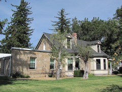
Block
From the record
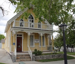
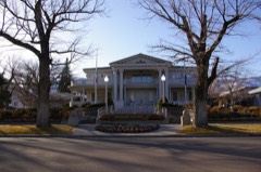
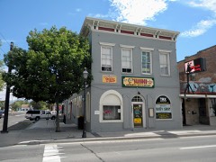
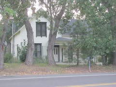
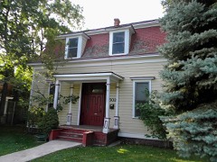
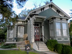
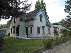
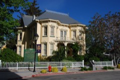
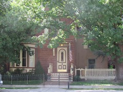
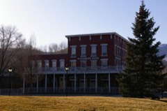
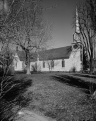
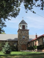
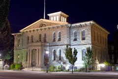
43 National Register listings published here, 1 of them a National Historic Landmark.
Sources: the National Register database, National Park Service
45 topographic sheets cover 11 settlements here, and 43 properties are on the National Register of Historic Places.
43 National Register listings published here, 1 of them a National Historic Landmark.
Sources: the National Register database, National Park Service
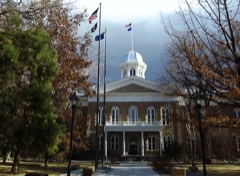
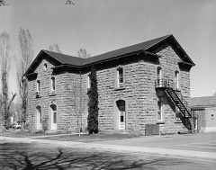
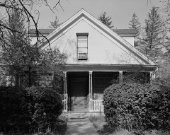
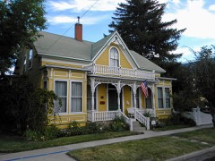
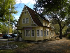
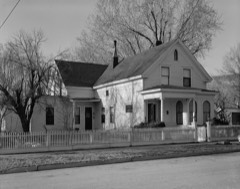
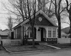
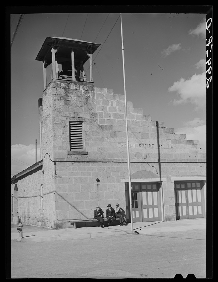
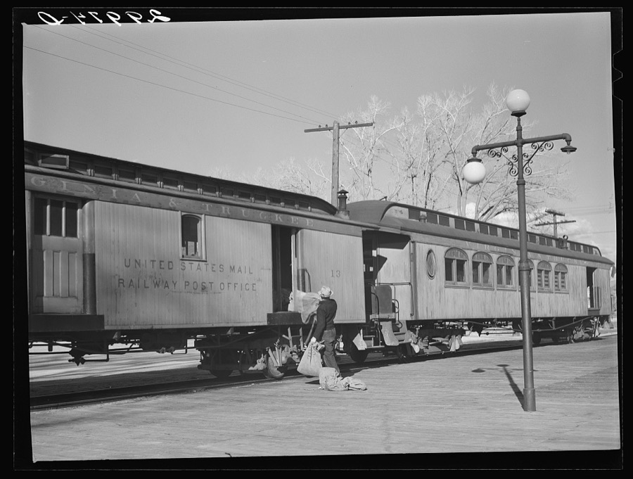
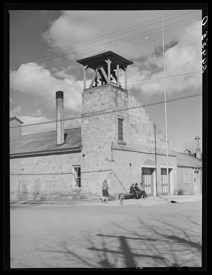
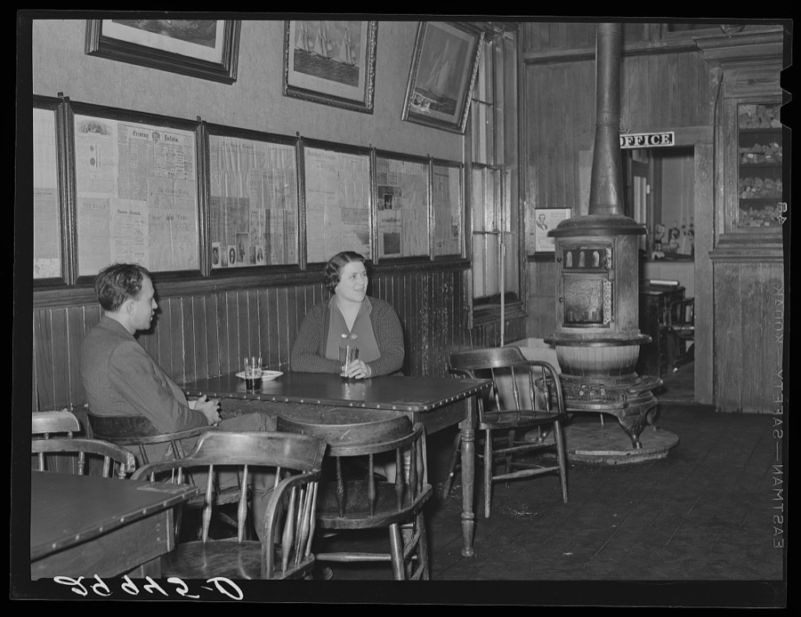
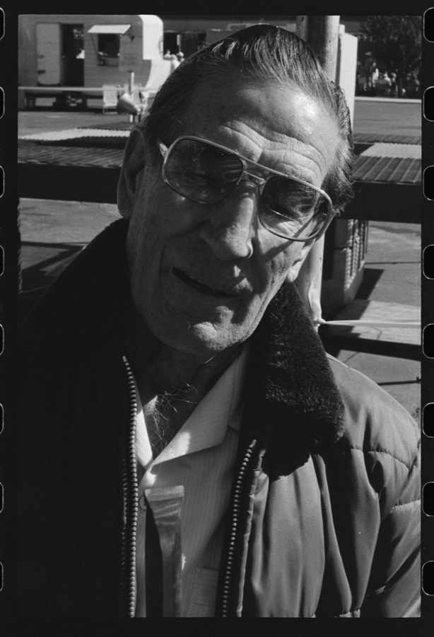
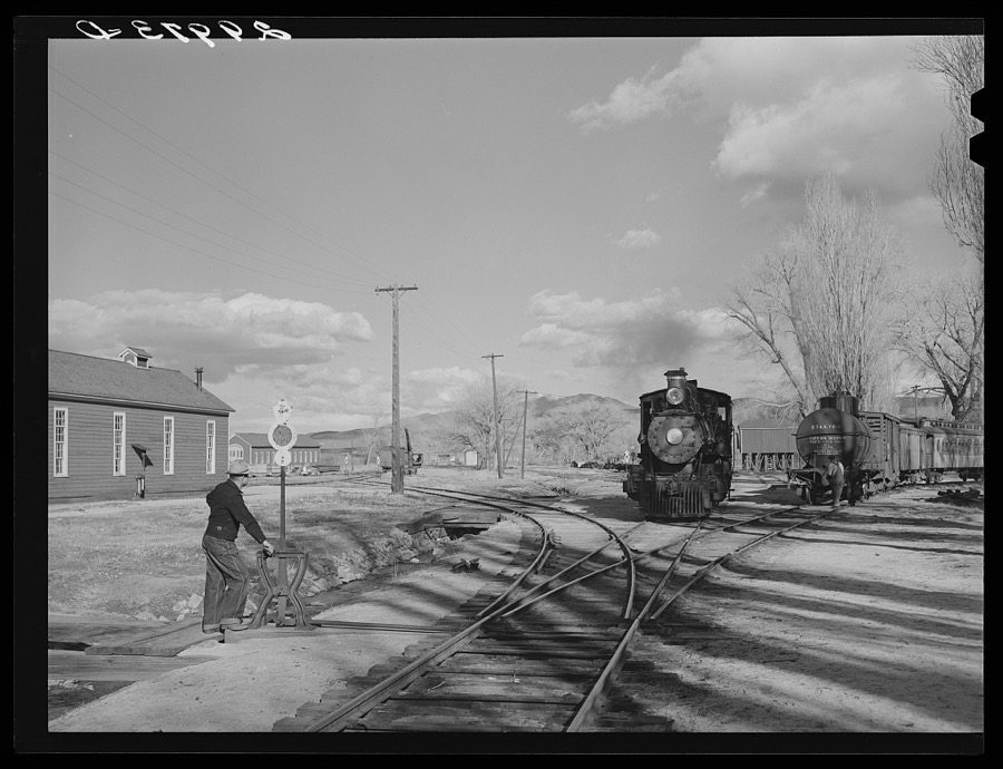
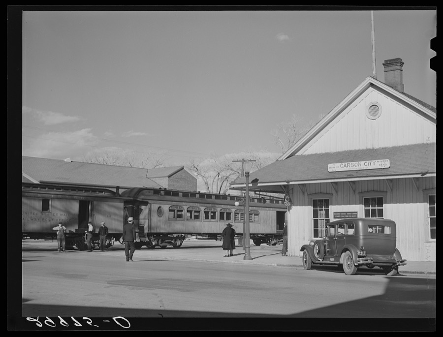
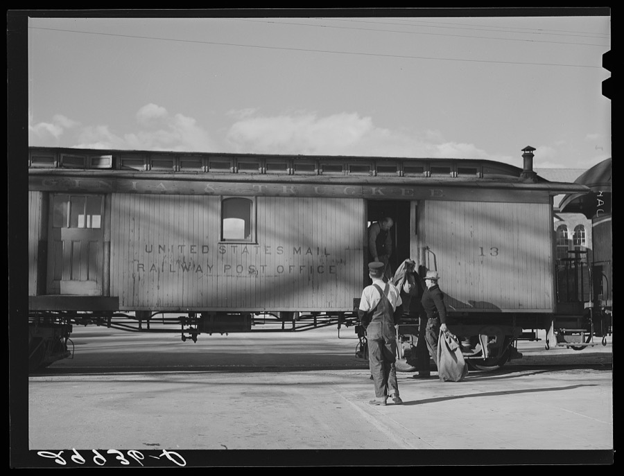
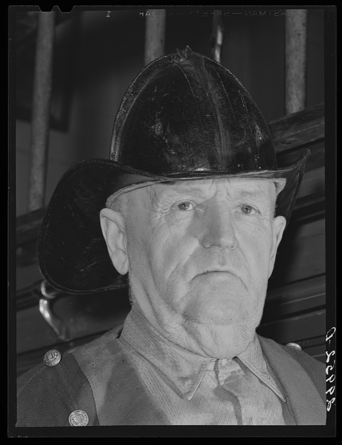
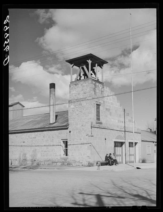
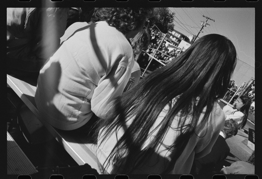
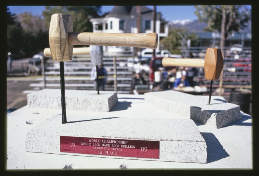
Taken for the Office of War Information and the Farm Security Administration, who photographed the country between 1935 and 1944. Works of United States government photographers, with no known restriction on use. Each opens its catalogue record.
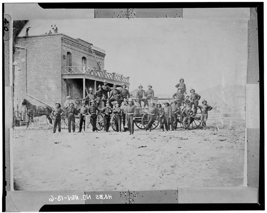
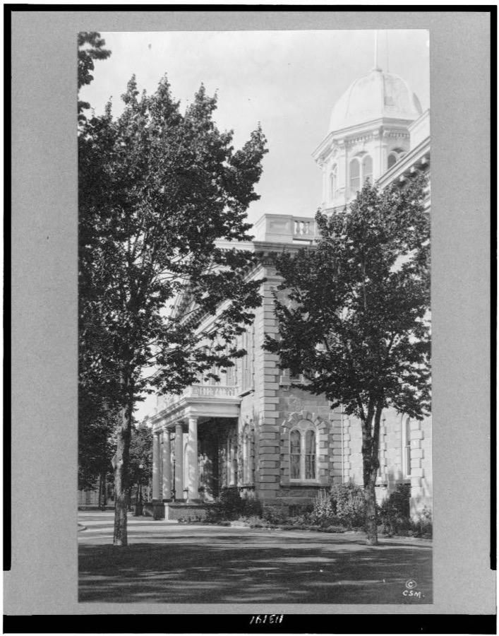
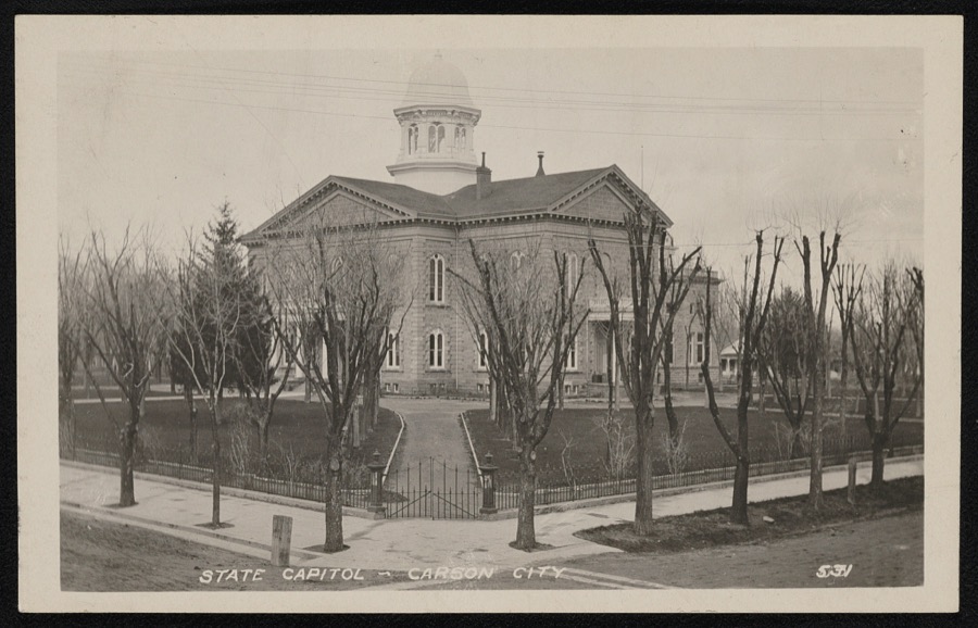
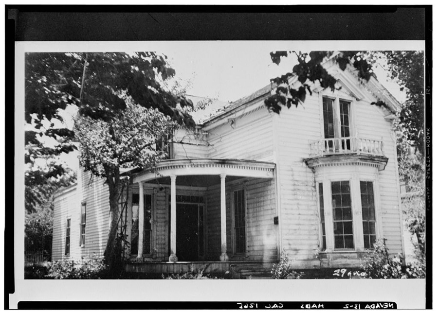
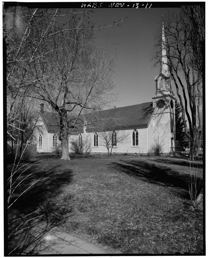
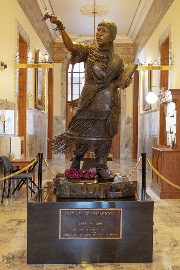
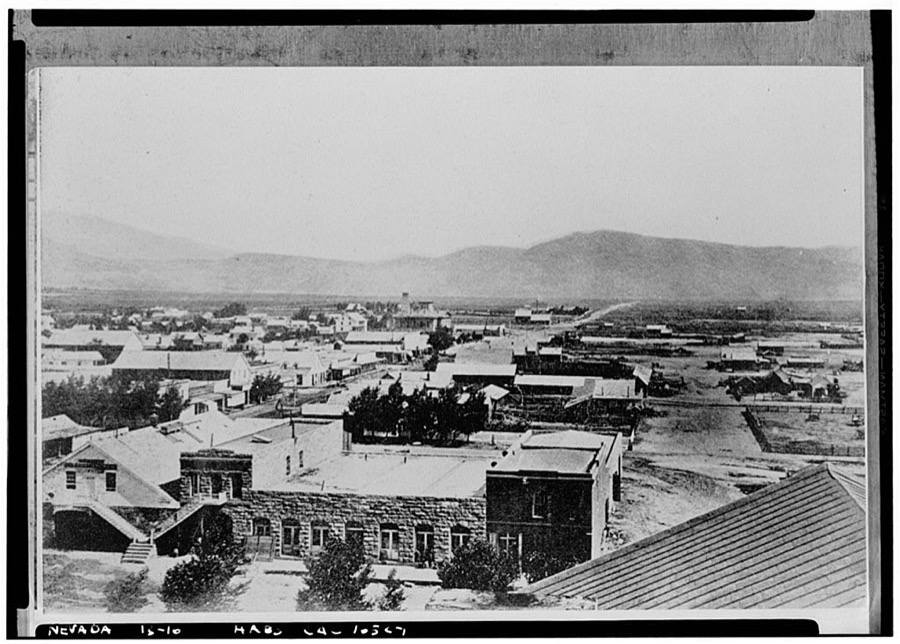
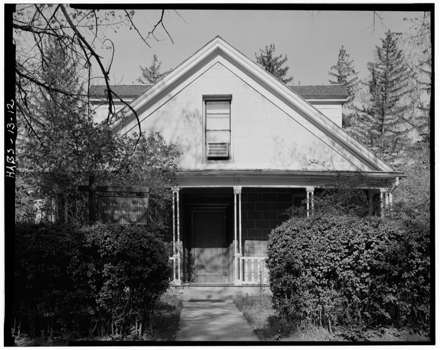
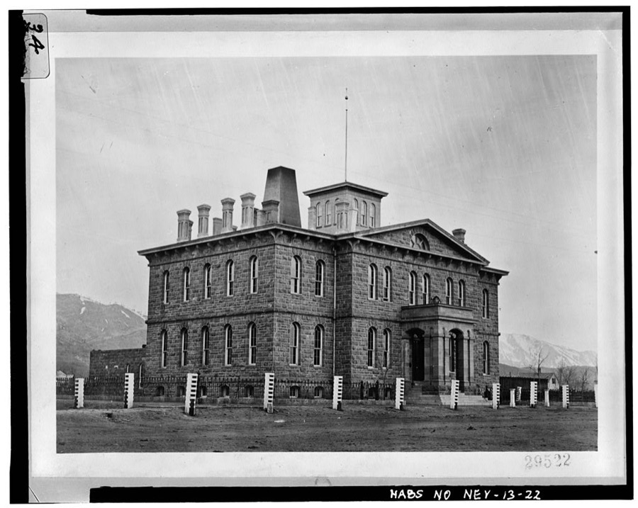
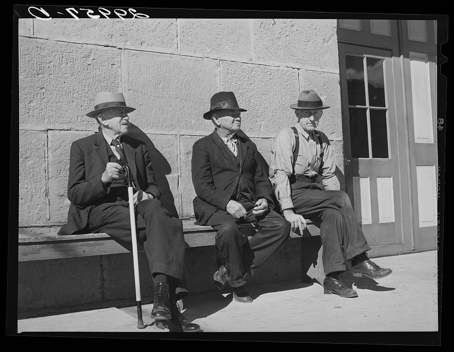
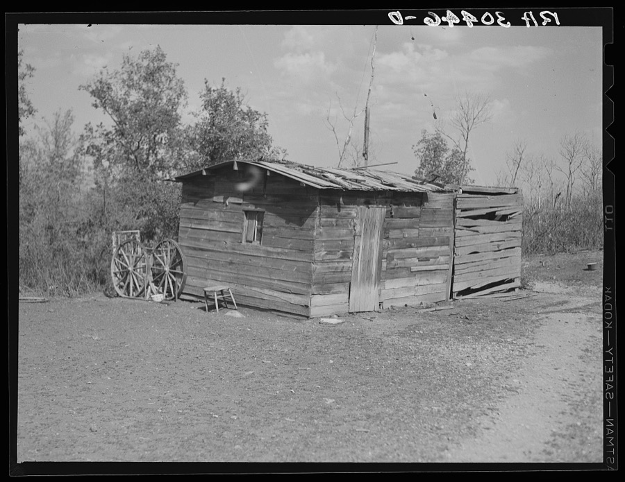
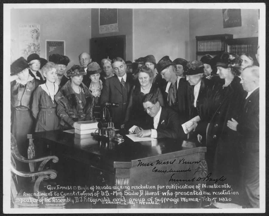
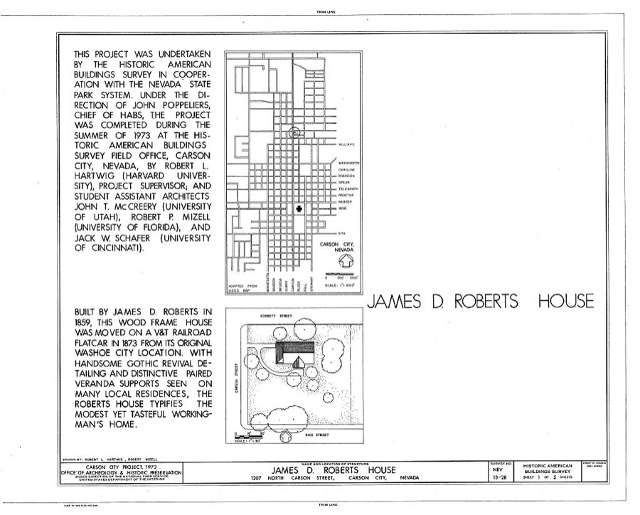
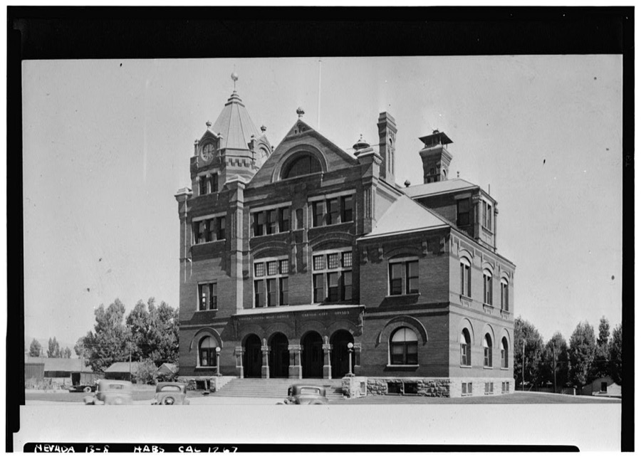
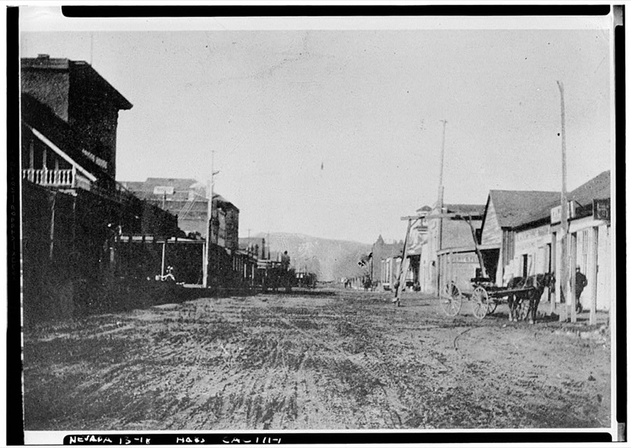
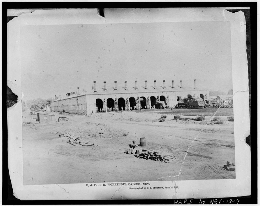
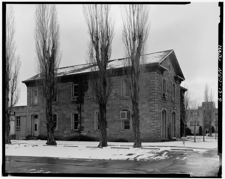
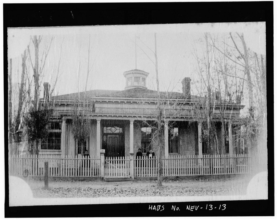
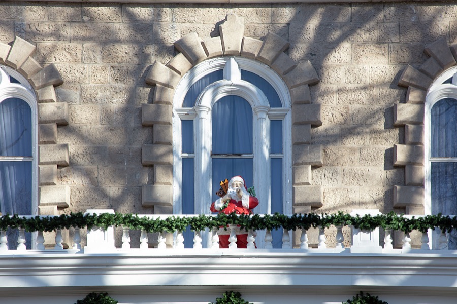
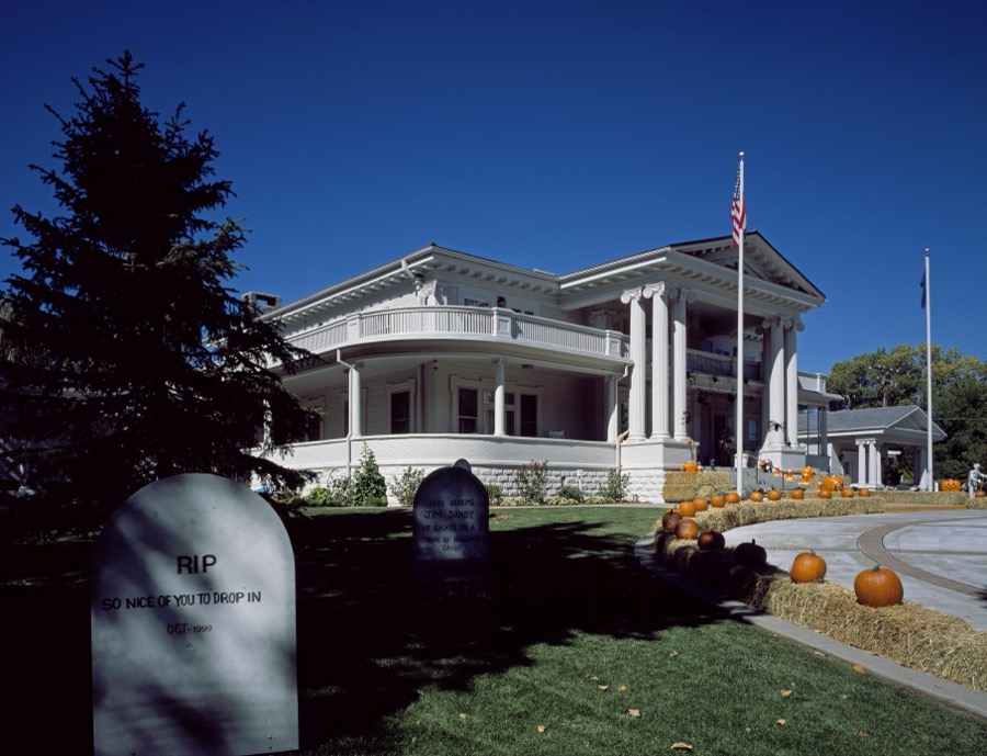
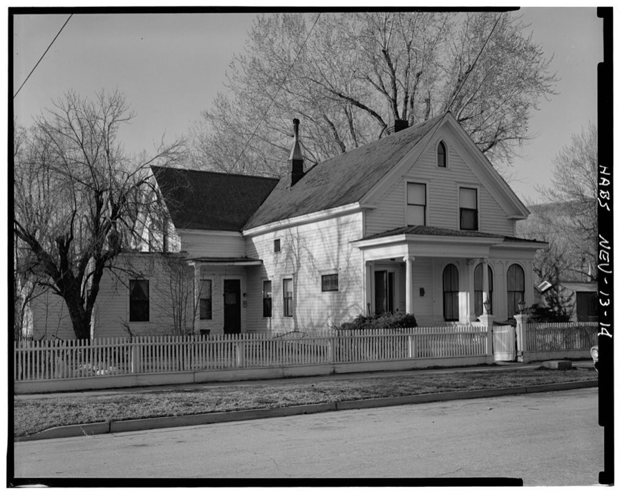
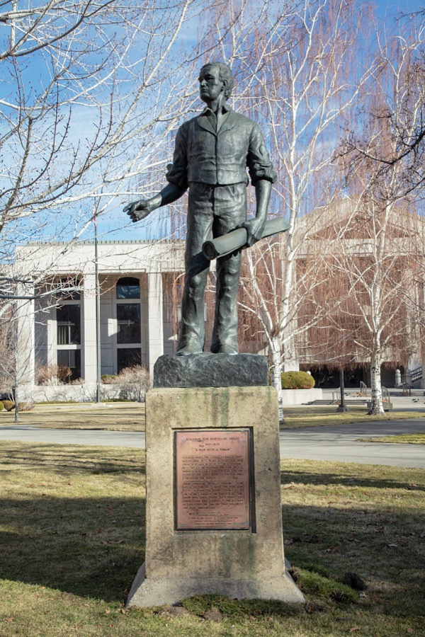
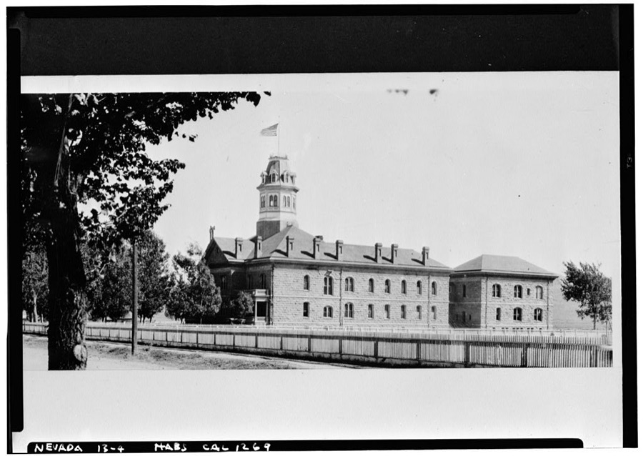
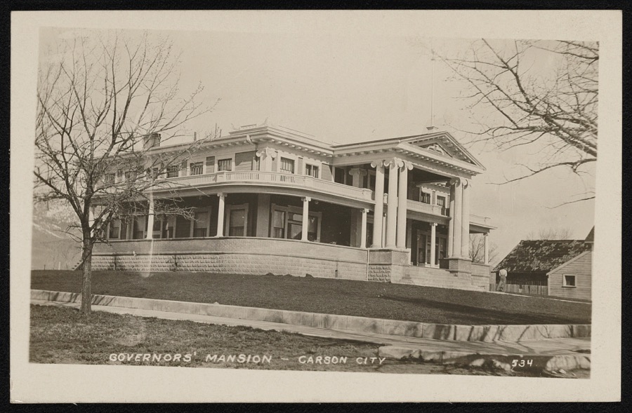
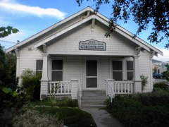
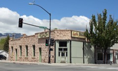
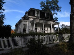
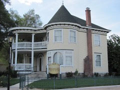
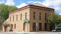
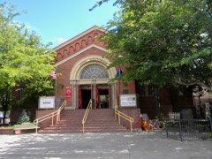
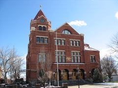
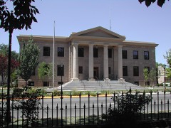
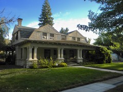
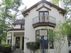
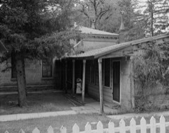
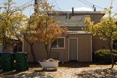
Every property in this county listed on the National Register of Historic Places, with the year it was listed and the federal nomination document.
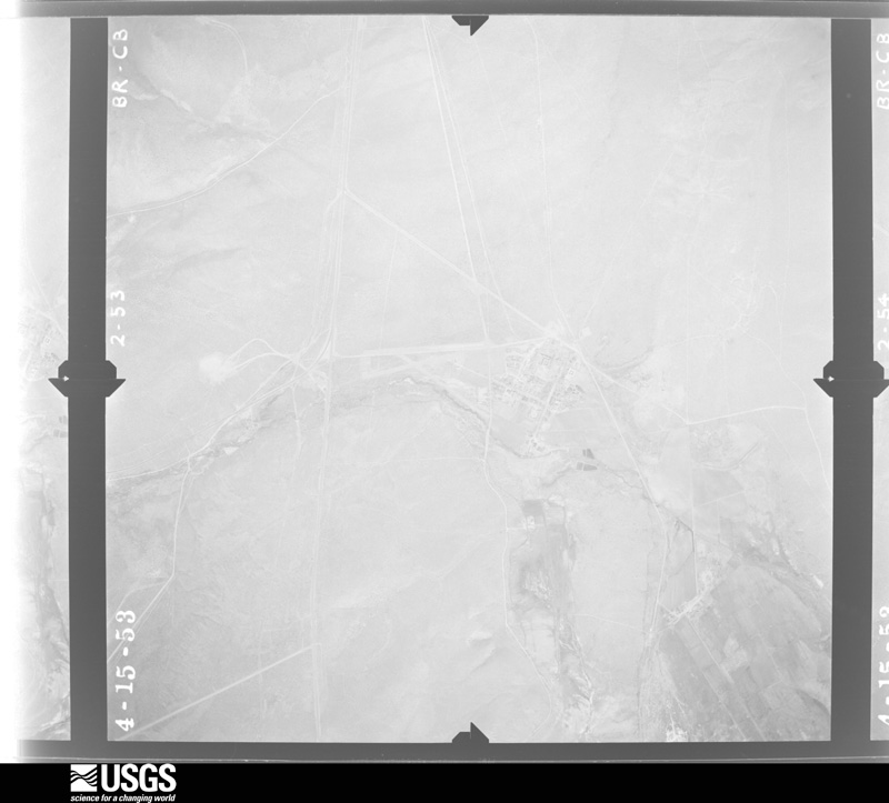
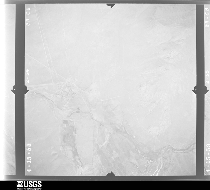
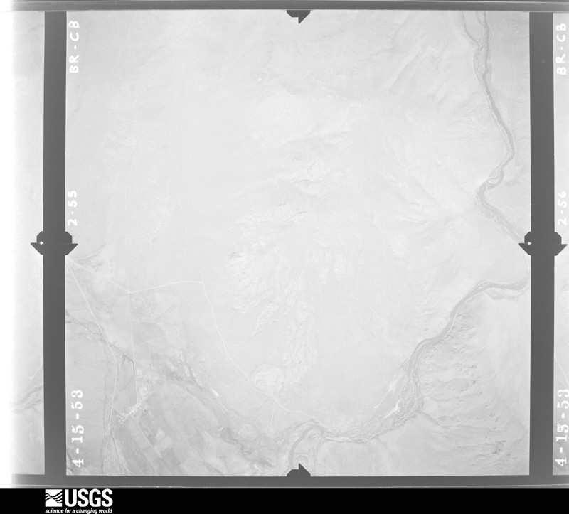
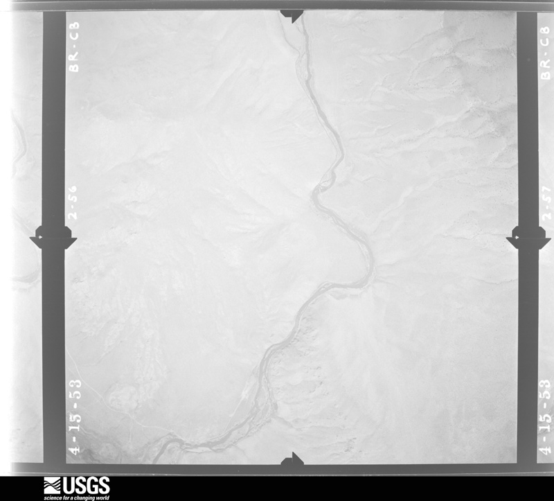
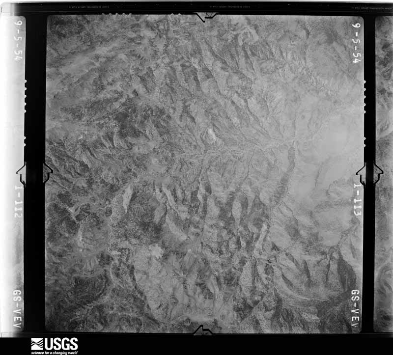
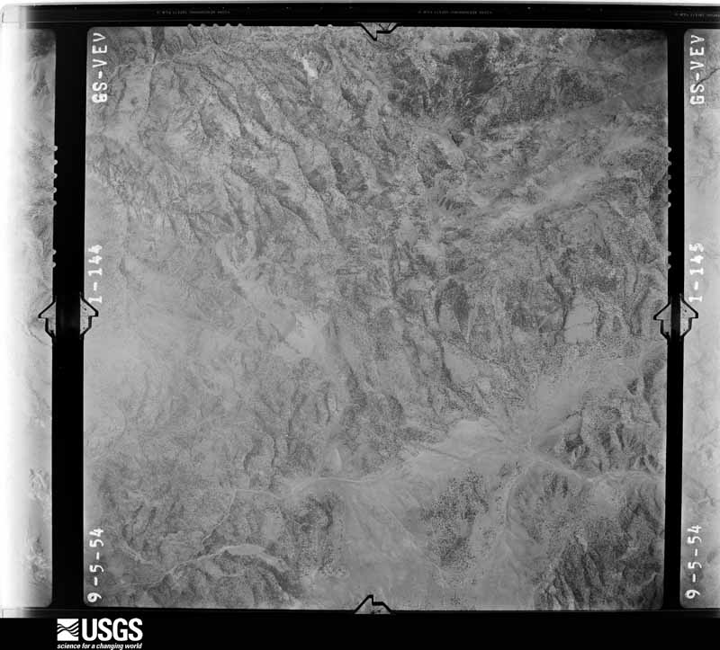
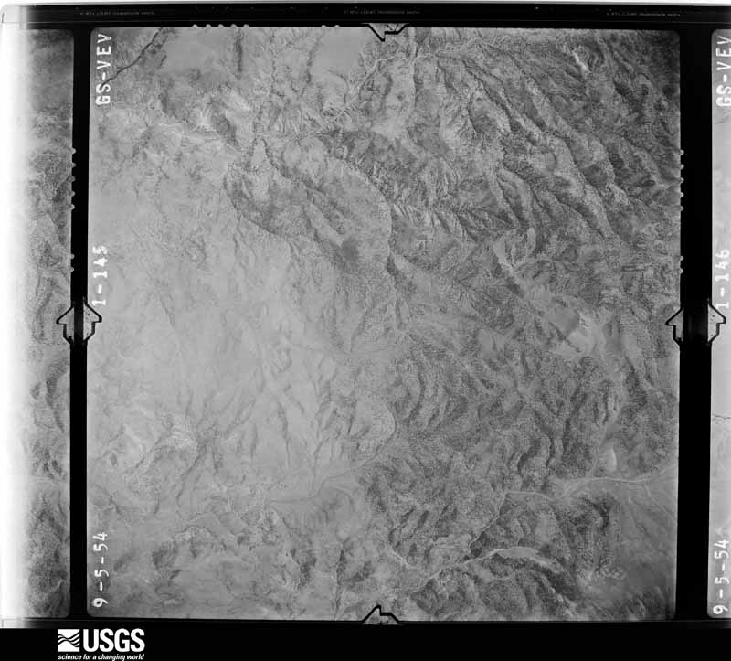
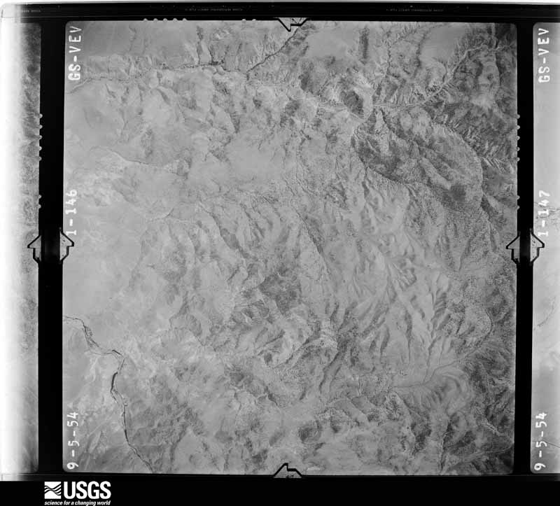
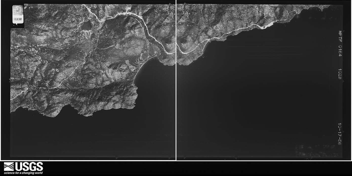
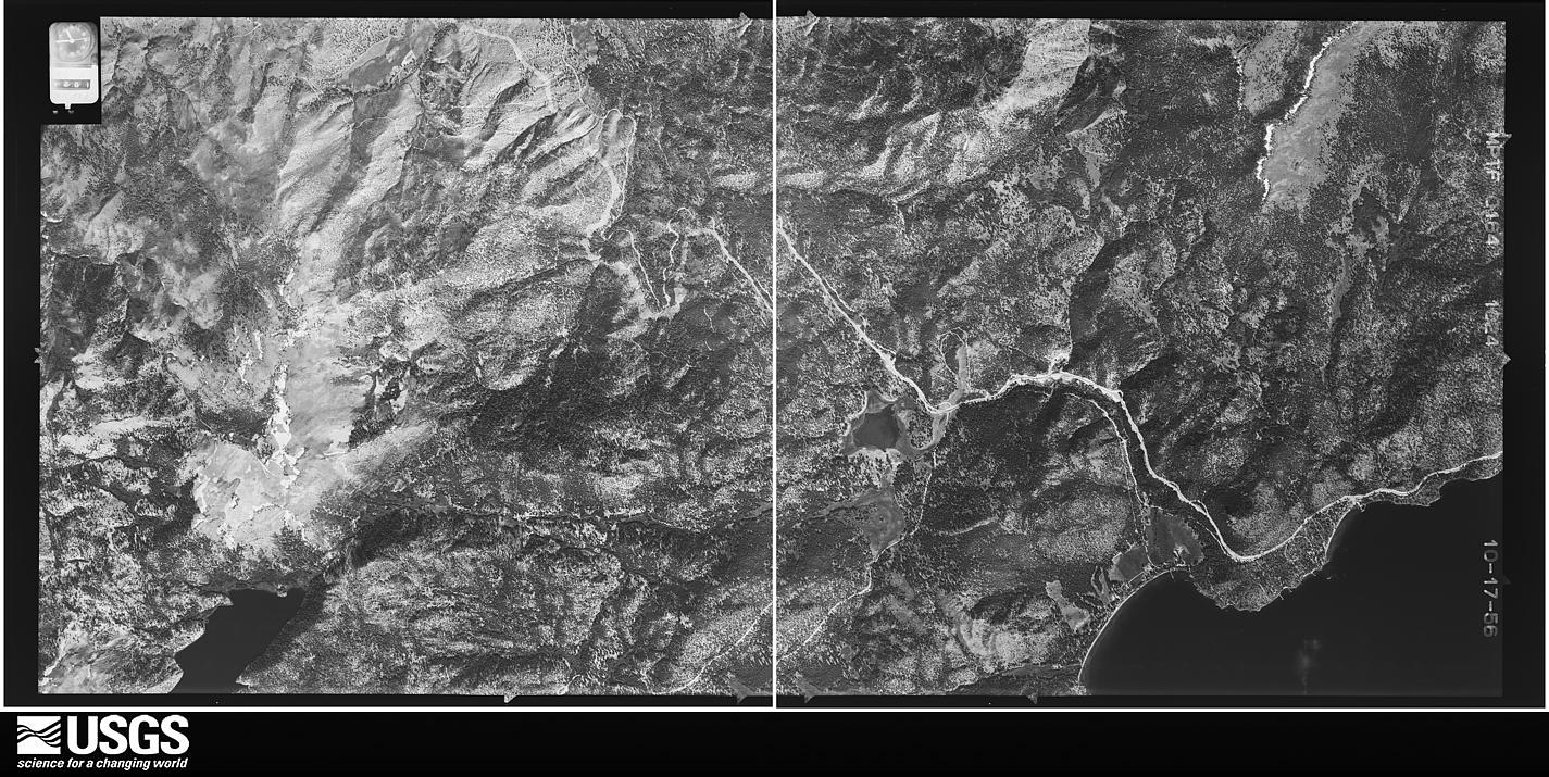
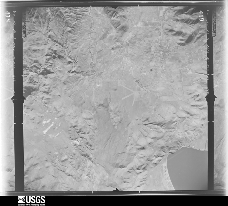
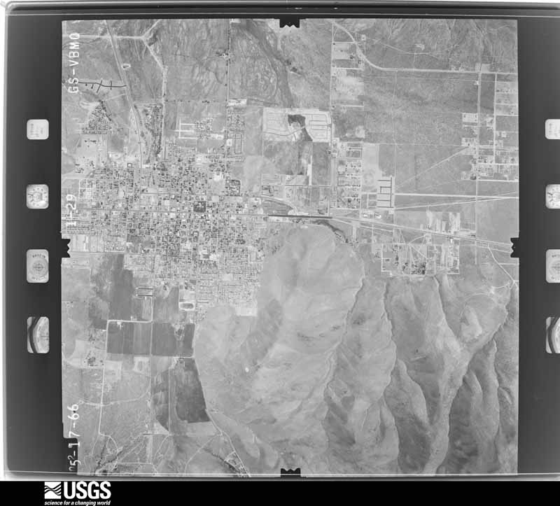
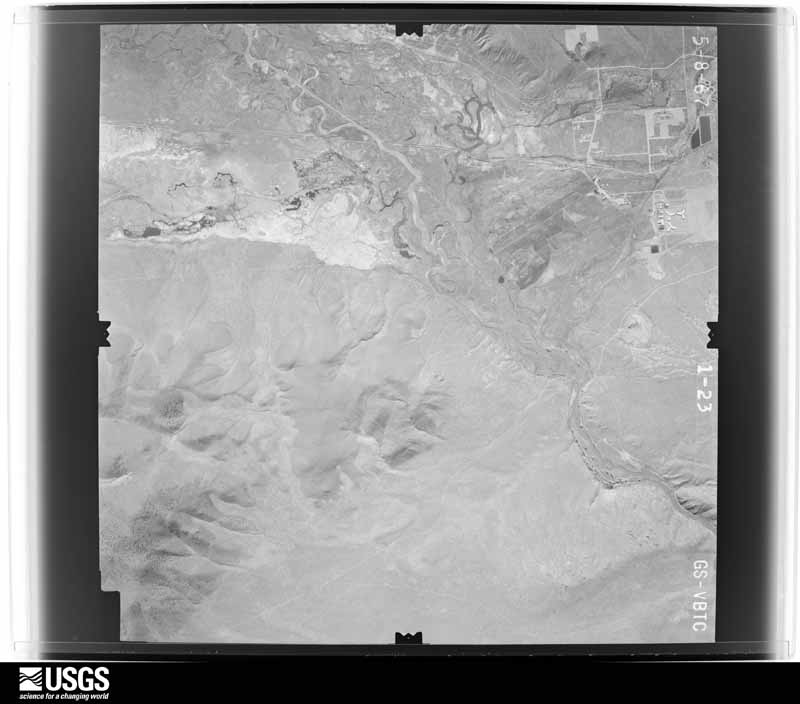
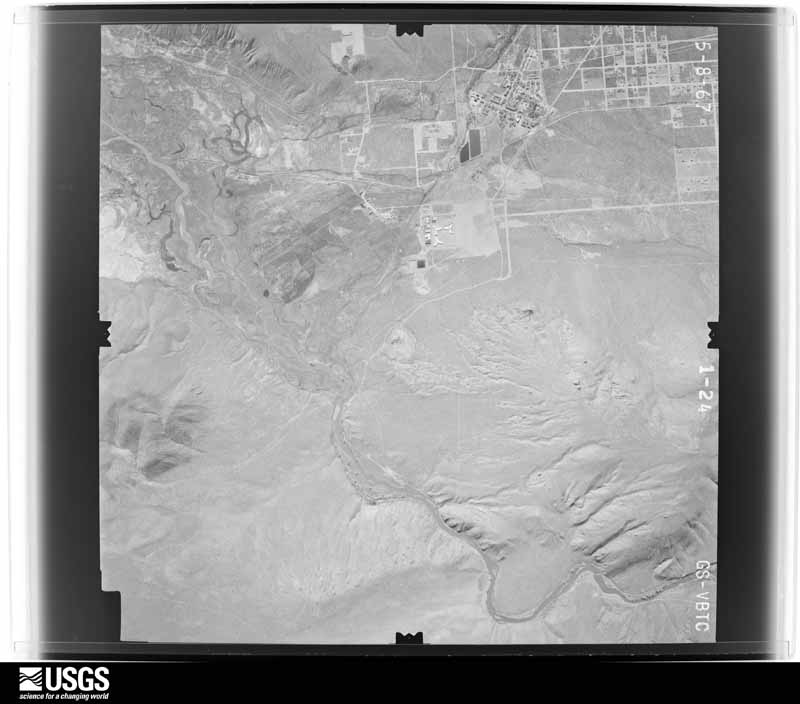
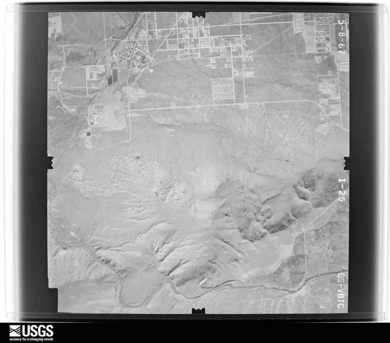
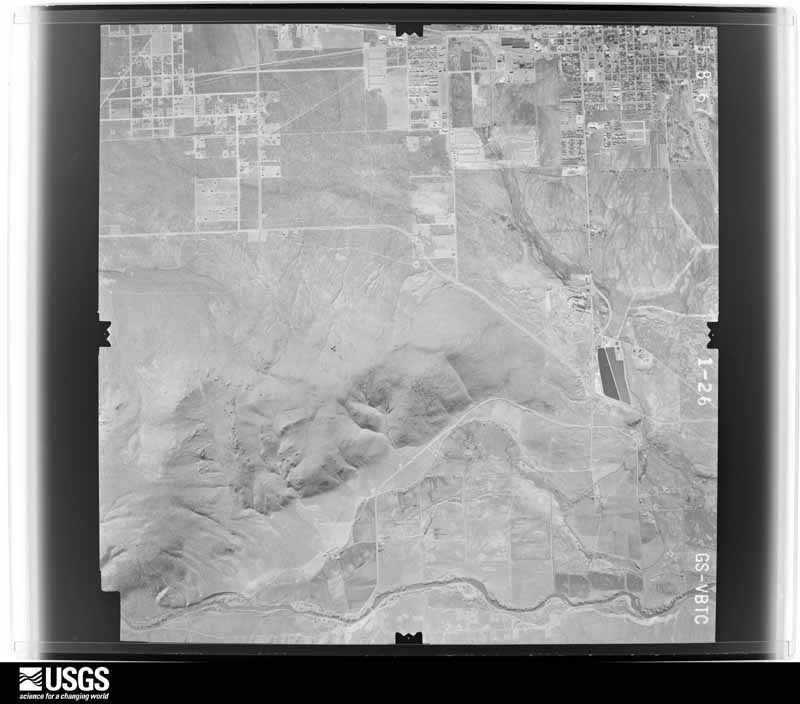
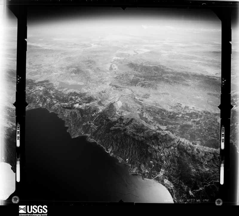
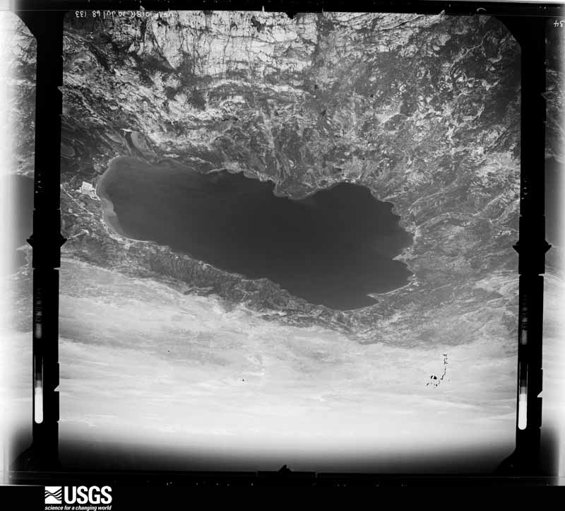
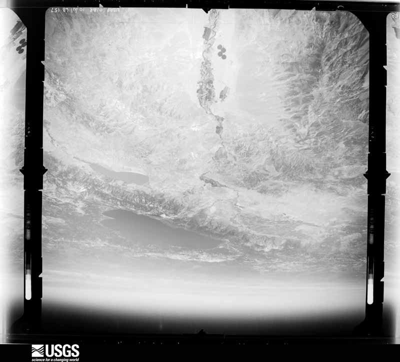
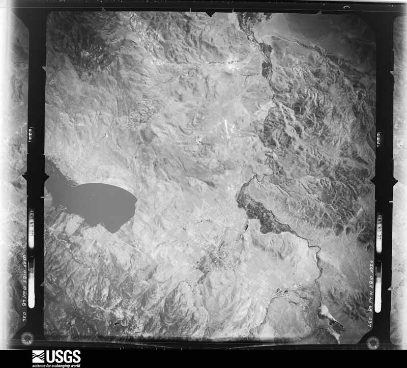
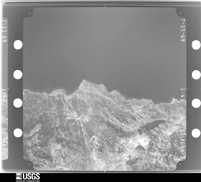
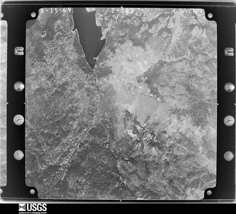
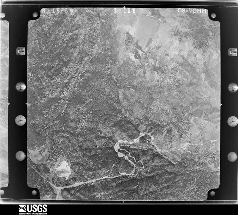
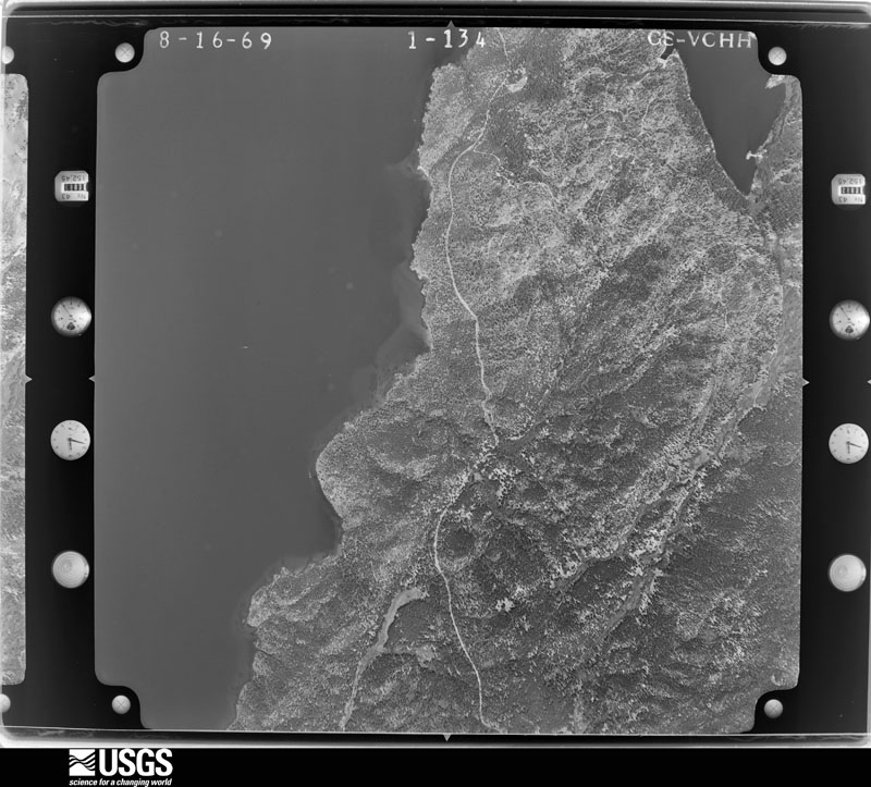
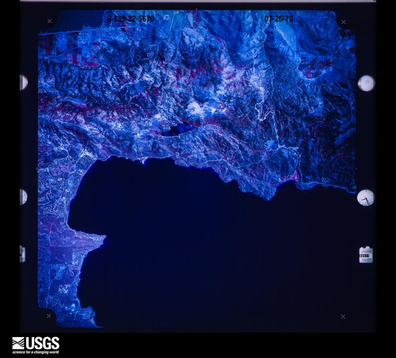
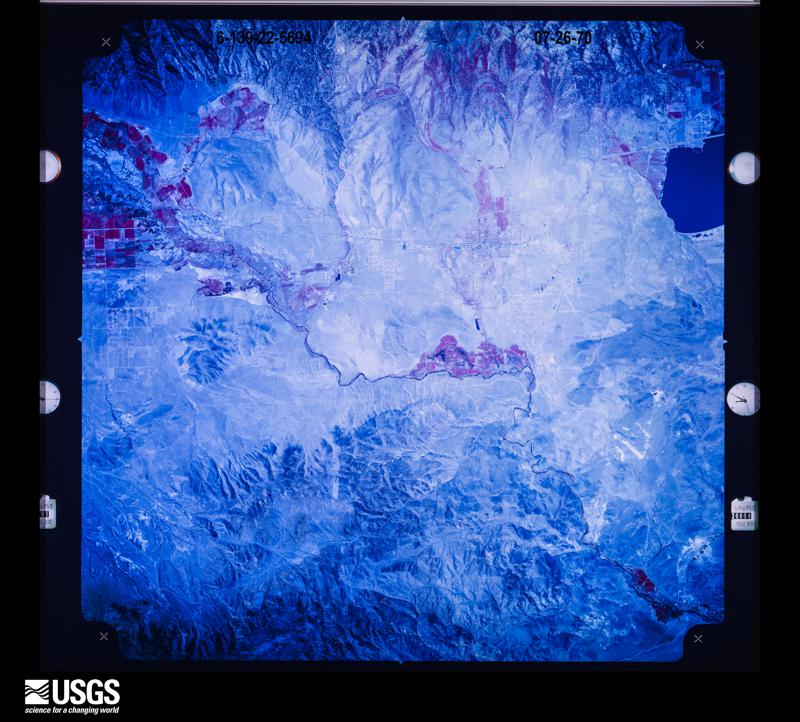
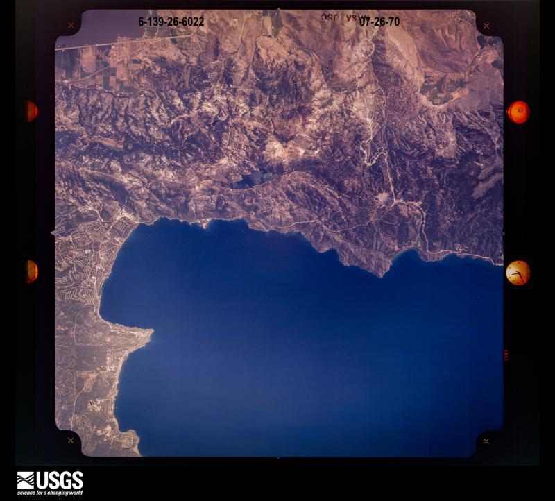
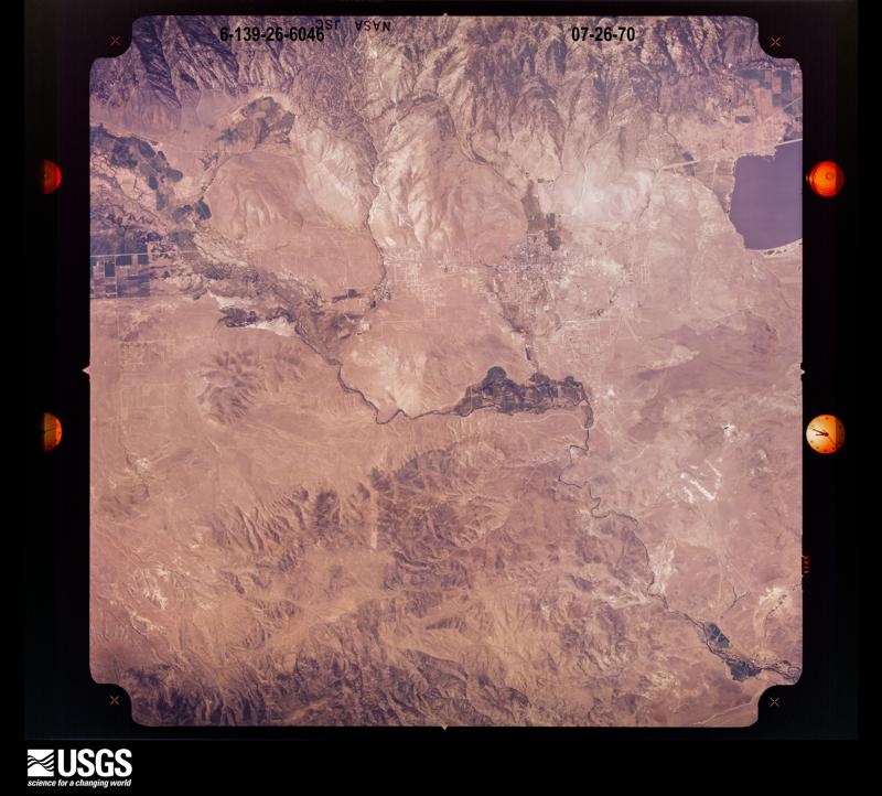
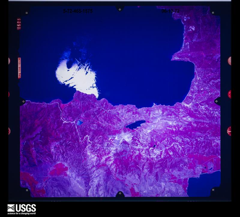
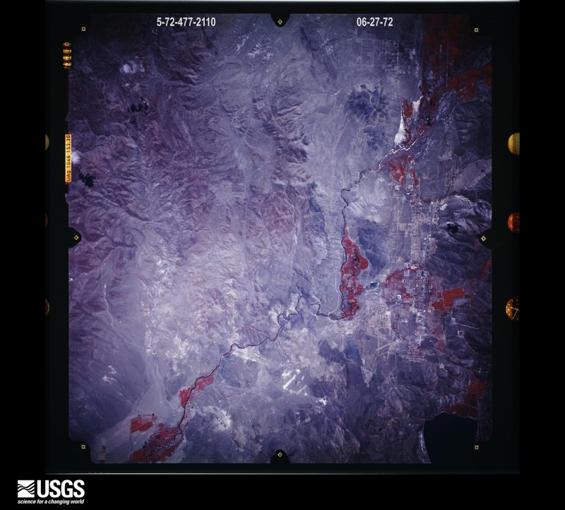
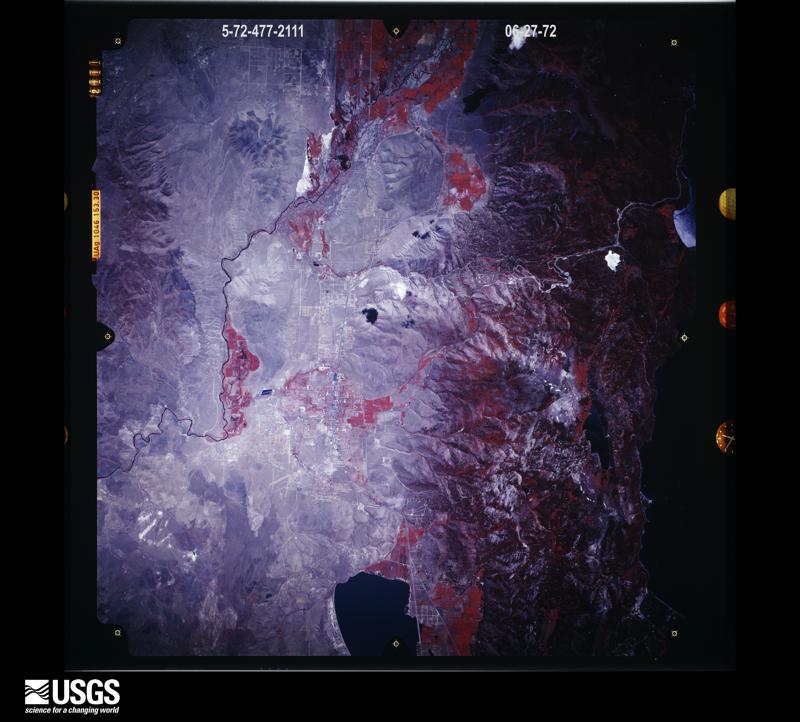
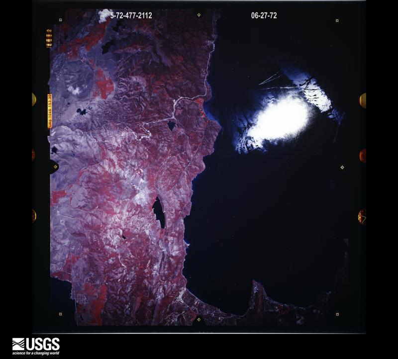
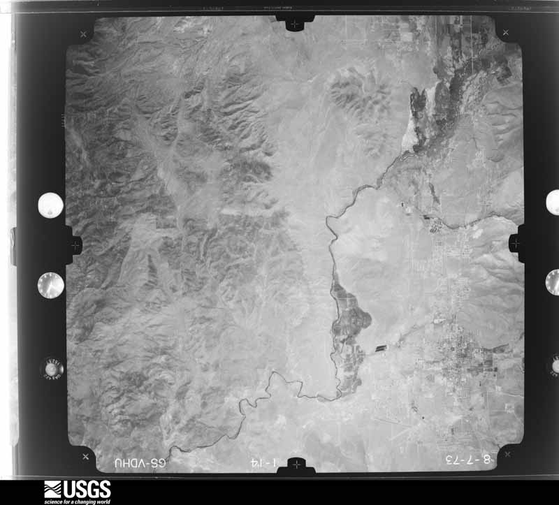
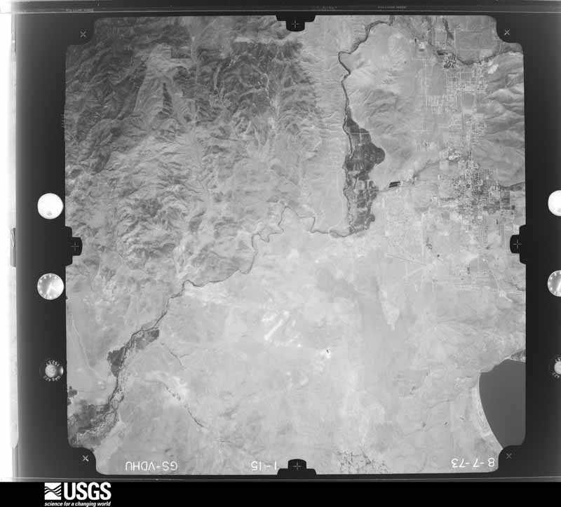
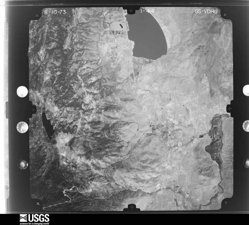
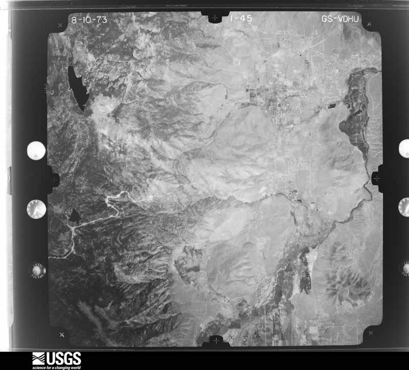
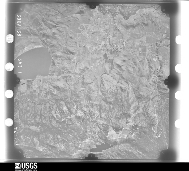
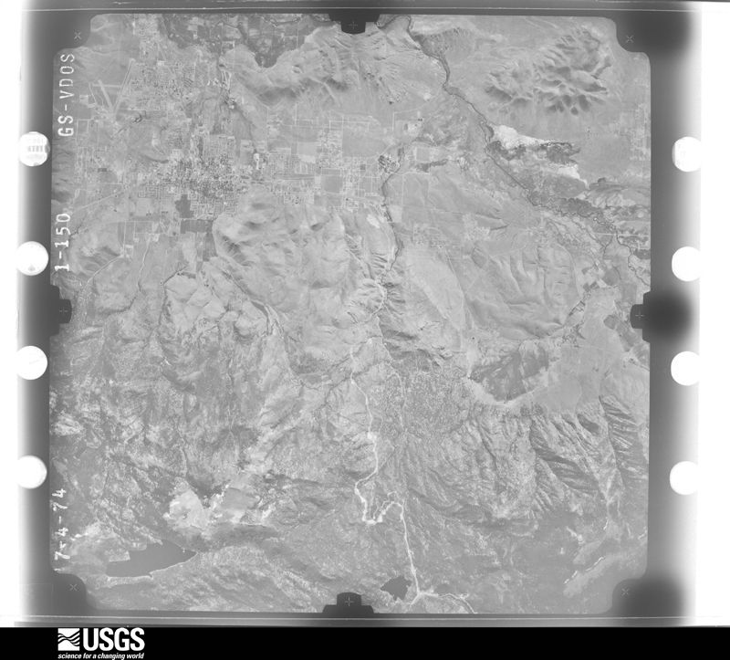
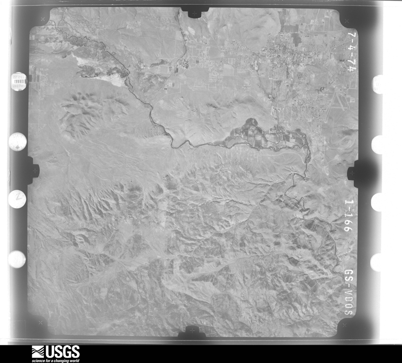
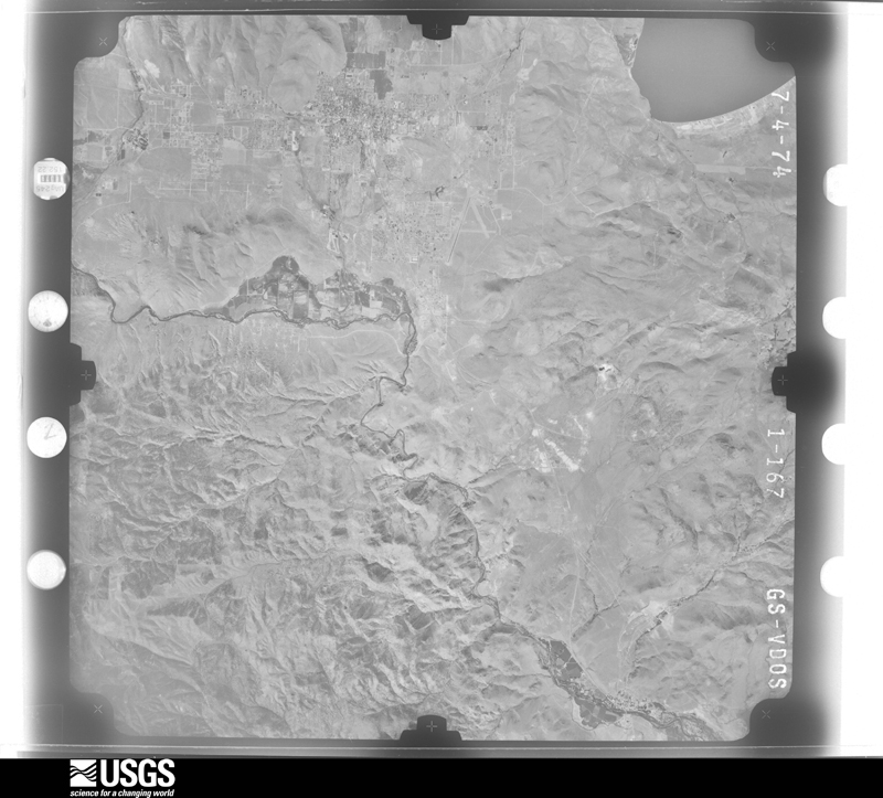
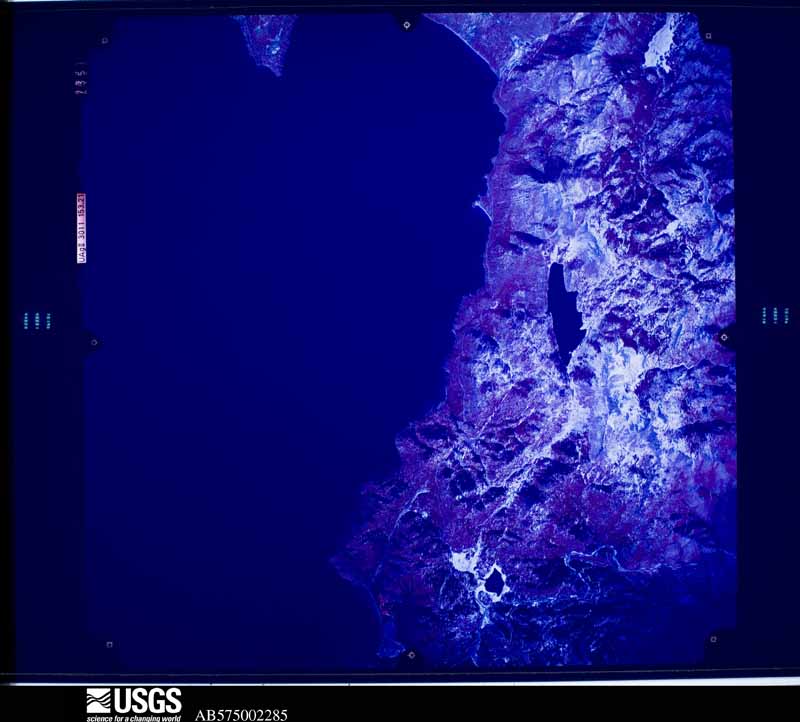
Flown by the U.S. Geological Survey between 1937 and 1989, the Aerial Photo Single Frames collection is the definitive mid-century view of the land: fields, roads and rivers as the camera saw them. The Survey holds 1,056 frames inside the rectangle that bounds this county; the 48 frames below were taken over the county itself, chosen across the decades of flights (at most four a year from that rectangle), so one flight cannot crowd out the rest. The full set is free to browse and download at EarthExplorer under the dataset Aerial Photo Single Frames.
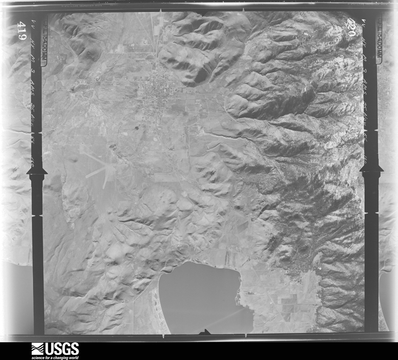
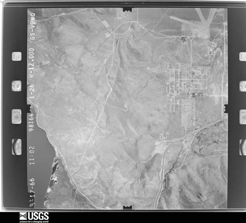
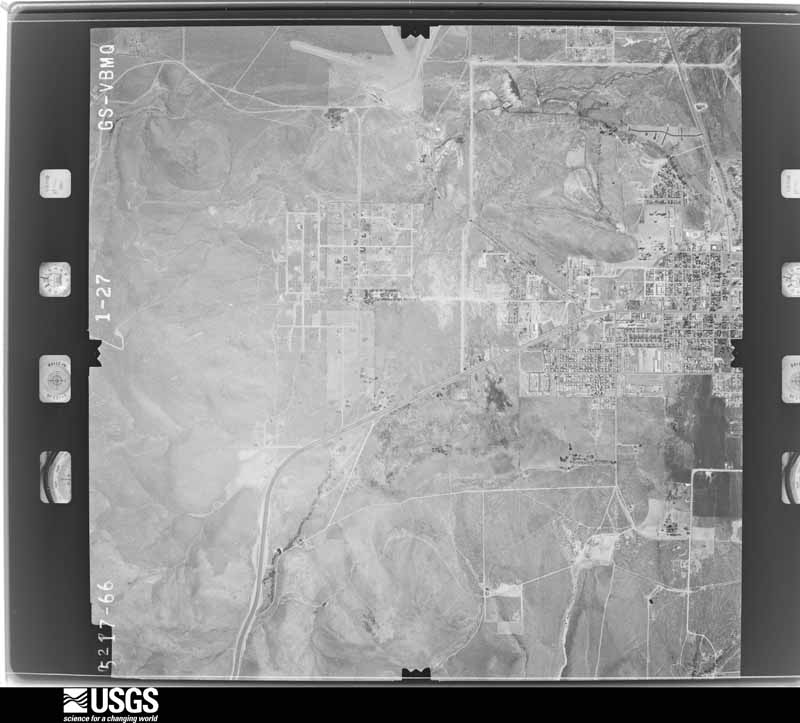
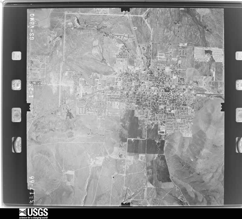
The thermometers that kept this county's weather, and the gages that measured the flow of its streams, as the federal records hold them. The extremes below are measured values from those records, not estimates.
Who lived here in 1950, one enumeration district at a time, as the Census Bureau described each district. Each row opens its official National Archives result, with Population Schedules and ED Maps available there.
Every wildfire the federal occurrence database records inside this county: 277 of them, burning about 14,572 acres. 86 started naturally and 8 were recorded as arson. Each settlement page carries the fires within five miles of it.
| Reported cause | Fires |
|---|---|
| Natural | 86 |
| Missing data/not specified/undetermined | 62 |
| Recreation and ceremony | 55 |
| Equipment and vehicle use | 15 |
| Firearms and explosives use | 12 |
| Debris and open burning | 11 |
| Misuse of fire by a minor | 10 |
| Arson/incendiarism | 8 |
| Fireworks | 6 |
| Smoking | 4 |
| Power generation/transmission/distribution | 4 |
| Other causes | 4 |
The five largest, by the area the report gives. One of them was set deliberately.
| Date | Cause | Size | Reported by | Name on the report |
|---|---|---|---|---|
| 14 July 2004 | Recreation and ceremony | 8,723 acres | Humboldt-Toiyabe National Forest | WATERFALL |
| 26 August 1999 | Misuse of fire by a minor | 1,000 acres | Carson City District Office | SUTRO |
| 9 September 2012 | Natural | 768 acres | Carson City District Office | COMO |
| 21 June 2005 | Arson/incendiarism | 656 acres | Carson City District Office | BADGER |
| 18 June 2003 | Missing data/not specified/undetermined | 590 acres | Humboldt-Toiyabe National Forest | HIGHWAY 50 |
| 12 June 2018 | Debris and open burning | 517 acres | Humboldt-Toiyabe National Forest | VOLTAIRE |
| 30 December 2011 | Missing data/not specified/undetermined | 318 acres | Carson City District Office | LAUREL |
| 14 August 2016 | Missing data/not specified/undetermined | 252 acres | Humboldt-Toiyabe National Forest | SHOOTING |
Every settlement page carries the fires within five miles of it - see the settlement index below.
The NOAA Storm Events Database holds 44 reports for this county, causing no deaths, 2 injuries and about $4,781,000 in recorded property damage. Each settlement page carries the reports that name it.
| Kind of event | Reports |
|---|---|
| Heavy Rain | 24 |
| Thunderstorm Wind | 6 |
| Hail | 6 |
| Flood | 2 |
| Flash Flood | 2 |
| Debris Flow | 2 |
| Tornado | 1 |
| Dust Devil | 1 |
The most serious of them, by death, then injury, then recorded damage. The accounts are quoted exactly as the forecast office filed them.
| When | Event | Place named | Harm | What the report says |
|---|---|---|---|---|
| July 2003 | Thunderstorm Wind | Carson City | 2 hurt | A women and child were slightly injured by falling tree branches when thunderstorm wind gusts estimated at 50 mph blew through Mills Park in Carson City. |
| December 2005 | Flood | Stewart | $3,400,000 | In Carson City, King Street was completely closed due to the flooding. Portions of Stewart, Mountain, and Curry Streets were also closed. Flooding occurred on U.S. Highway 395 near Carson Mall. Two businesses and 12 houses were flooded. Residents were urged to stay away from Ash Canyon and Kings Canyon. At the site of the Waterfall Fire burn area west of Carson City, the heavy rain caused damage to trees and vegetation on the mountainside, and also caused rockslides and mudslides. |
| January 2006 | Flood | Stewart | $1,200,000 | no account filed |
| December 1996 | Heavy Rain | Carson City | $100,000 | no account filed |
| July 2014 | Flash Flood | Stewart | $50,000 | Water over roads and mud debris along and near Center Drive were reported (including pictures and videos) by a fire department official. Extensive damage to streets due to undermining was noted along with minor water and mud intrusions into several homes. One home had up to a foot of water and mud in the garage along with damage to the garage door. The time of the event is estimated. |
| June 2023 | Debris Flow | Stewart | $10,000 | The Carson City Sheriff's Office said a debris flow from mud was up to 1 to 2 feet in some areas of the parking lot of the Galaxy Fandango Theaters on S. Curry Street. The Galaxy Fandango Theater was closed so crews could conduct cleanup. |
| July 2014 | Flash Flood | Stewart | $10,000 | A spotter reported debris and rocks in roadways near Windmill and Fish Springs Road around 1400PST. A short time later the spotter noted that Windmill Road was washed out and Calle Del Sol was impassable. The spotter's rain gauge recorded 1.10 of rain between 1300PST and 1325PST. |
| February 2009 | Dust Devil | Carson City | $5,000 | A possible dust devil descended the foothills just west of Carson City. Flying debris generated by the dust devil damaged 12 automobiles in the DMV parking lot. |
| June 2007 | Thunderstorm Wind | Carson City | $5,000 | The Nevada Appeal newspaper reported that strong wind gusts brought down tree limbs in Carson City. One downed tree limb on Fifth Street knocked out power to 900 residents, including the Carson City Courthouse and Sheriff's Department. |
| July 1998 | Thunderstorm Wind | Central Portion | $1,000 | Thunderstorm winds estimated to 60 knots knocked over a tree which downed power and telephone lines near the Carson River 3 miles east of Carson City NV. |
| February 2025 | Heavy Rain | Carson City | - | A COCORAHS station (NV-CC-14 Carson City) located 3.0 mi NNE of Carson City, NV, reported a 24hr rainfall storm total of 0.59 inches. |
| February 2025 | Heavy Rain | Carson City | - | A COCORAHS station (NV-CC-14 Carson City) located 3.0 mi NNE of Carson, NV, reported a 24hr rainfall storm total of 2.02 inches. |
| July 2025 | Thunderstorm Wind | Stewart | - | Peak outflow gust at mesonet NV025 in Carson City. |
| February 2024 | Heavy Rain | Carson City | - | A CoCORAHS station (NV-CC-23) located 1.0 mi W of Carson City, NV, and a trained spotter located 2.0 mi N of Stewart, NV, reported a 24 hr rainfall storm total of 1.33 inches and 1.23 inches. |
| September 2024 | Heavy Rain | Carson City | - | Mesonet station (CRSC6) located 1.0 mi SSW of Lakeview, NV, reported 24 hour rainfall storm total of 0.56 inches. |
| March 2023 | Heavy Rain | Carson City | - | A COCORAHS, NV-CC-20 Carson City, located 3.6 mi NNW of Carson City, NV, reported a 24-hour rainfall total of 1.62 inches. |
| November 2023 | Heavy Rain | Carson City Arpt | - | A mesonet station (GPEN2-Washoe City) located 3.0 mi NE of Mount Rose Ski Base, NV, reported a rainfall storm total of 0.55 inches. |
| December 2023 | Heavy Rain | Stewart | - | A trained spotter located 2.0 mi N of Stewart, NV, reported a 24 hr rainfall storm total of 0.59 inches. |
| September 2023 | Heavy Rain | Carson City | - | A CO-OP Observer located 1.6 mi S of Carson City, NV, and a CoCoRAHs Station (NV-CC-14) located 4.4 mi N of Carson City, NV, reported storm total rainfall amounts of 0.70 and 0.56 inches respectively. |
| November 2020 | Heavy Rain | Carson City | - | Reporting 0.65 inches of rain in last 12 hours. |
| March 2019 | Heavy Rain | Carson City | - | CoCoRaHS station NV-CC-21 in Carson City reported 0.60 inches of rainfall in a 24 hour period from 27 March 0800PST to 28 March 0800PST. |
| January 2019 | Heavy Rain | Carson City | - | CO-OP observer CRCN2 in Carson City reported 1.00 inch of rainfall in a 24 hour period from 16 January 0700PST to 17 January 0700PST. |
| July 2019 | Heavy Rain | Empire | - | Mesonet station C4390, 3 miles east-northeast of Carson City (elevation 4619 feet) reported 0.69 inches of rainfall in a 1-hour period from 26 July 1417PST to 1517PST. |
| December 2018 | Heavy Rain | Carson City | - | Trained weather spotter 1 mile northeast of Carson City reported 0.96 inches of rainfall in a 24-hour period from 24 December 0700PST to 25 December 0700PST. |
| March 2018 | Heavy Rain | Carson City | - | Mesonet station VCEN2, 2 miles west-southwest of Lakeview reported 3.23 inches of storm total rainfall from 20 March 0648PST to 23 March 0648PST. |
| March 2018 | Heavy Rain | Carson City | - | Trained weather spotter in Carson City reported 2.35 inches of storm total rainfall from 20 March 1134PST to 23 March 1134PST. 0.81 inches of that rain fell from 22 March 1134PST to 23 March 1134PST. |
| April 2018 | Heavy Rain | Carson City | - | Trained weather spotter 2 miles north of Stewart measured 0.54 inches of rainfall in a 24 hour period from 6 April 1047PST to 7 April 1047PST. |
| April 2018 | Heavy Rain | Carson City | - | CoCoRaHS station NV-CC-21, Carson City reported 0.59 inches of rainfall in a 24 hour period from 6 April 0800PST to 7 April 0800PST. |
| May 2018 | Heavy Rain | Carson City | - | CoCoRaHS station NV-CC-14, 3 miles north-northeast of Carson City reported 0.53 inches of rainfall in a 24-hour period from 16 May 0600PST to 17 May 0600PST. |
| May 2018 | Heavy Rain | Carson City | - | Mesonet station CRSC1, 1 mile northeast of Carson City reported 0.96 inches of rainfall in a 24-hour period from 24 May 0919PST to 25 May 0919PST. |
| August 2017 | Debris Flow | Incline Vlg | - | An area of pulse thunderstorms caused boulders to slide onto Nevada State Highway 28 at mile marker 3. No damage reports/estimates were available. |
| November 2017 | Heavy Rain | Carson City | - | A trained weather spotter reported 4.47 inches of rain from 15 November 0800PST to 16 November 2000PST at an elevation of 5300 feet. |
| July 2014 | Hail | New Empire | - | Hail report near Carson City High School. |
| August 2014 | Thunderstorm Wind | Empire | - | This wind gust was measured at a Citizen Weather Observer Program (CWOP) site. |
| February 2006 | Heavy Rain | Carson City | - | A total of 3.52 inches of rain fell 3 miles west of Carson City. |
| April 2005 | Tornado (F0) | Carson City Arpt | - | An F0 tornado was reported near the Carson-Tahoe Hospital. |
| December 2005 | Heavy Rain | Carson City | - | A total of 5.81 inches of rainfall reported 2 miles east of Carson City since the morning of December 30th. |
| August 2004 | Heavy Rain | Carson City | - | Six miles east of the Waterfall Fire burn area 0.75 inches of rain fell in one hour. Three feet of standing water was reported in the Plaza Shopping Center along U.S. Highway 50. |
| June 2000 | Hail | Carson City | - | Trained spotter reported 3/4 inch hail in Carson City. |
| September 1994 | Hail | Moundhouse | - | A severe thunderstorm produced three-quarters inch hail in Moundhouse, 10 miles east of Carson City on Highway 50. |
| October 1993 | Hail | not stated | - | A storm spotter in eastern Carson City reported three quarter inch diameter hail covering the roadway. |
| October 1993 | Hail | Reno | - | storm spotter in Moundhouse reported one inch diameter hail covering the ground. |
| July 2010 | Hail | Carson City | - | no account filed |
| May 1992 | Thunderstorm Wind | not stated | - | no account filed |
The Survey's mineral resources record lists 88 workings inside this county. 3 still produce and 85 are closed or unrecorded. Each settlement page carries the workings within five miles of it.
| Commodity | Workings |
|---|---|
| Gold | 19 |
| Silver | 17 |
| Tungsten | 13 |
| Sand and Gravel, Construction | 10 |
| Uranium | 8 |
| Copper | 7 |
| Gold, Silver | 4 |
| Iron | 3 |
| Mercury | 2 |
| Lead | 2 |
| Manganese | 2 |
| Lead, Gold, Copper | 2 |
| Tungsten, Manganese | 1 |
| Copper, Silver, Gold | 1 |
The least common of them first, because a county's hundredth gravel pit says nothing its first ten did not.
| Where | Site | Commodity | Status | Recorded |
|---|---|---|---|---|
| Athens Mine | Silver, Gold, Copper | Past Producer | ||
| Bessemer Prospect | Iron, Barium-Barite | Past Producer | ||
| Bidwell Mine | Copper, Gold, Silver, Lead | Occurrence | Chalcopyrite, Galena, Pyrite | |
| Brunswick Canyon Pit | Stone | Past Producer | ||
| Bunker Hill Mine | Copper, Silver, Gold, Tungsten | Past Producer | Vein | |
| Bunker Hill Mine | Gold, Silver, Copper | Past Producer | ||
| Carson Black Lead Mine | Graphite | Past Producer | 1903 | |
| Carson City Monazite-Bearing Placer | REE, Chromium, Gold, Iron, Zirconium | Prospect | ||
| Carson Mine | Gold, Silver, Lead, Tungsten | Prospect | ||
| Carson River Mercury | Gold, Mercury, Silver | Prospect | ||
| Cinderlite Aggregates | Pumice | Past Producer | ||
| Comstock Extension Mine | Gold, Silver, Lead, Copper | Past Producer | ||
| Crystal Claims | Silver, Lead, Zinc, Gold | Past Producer | ||
| Dixon | Tungsten, Manganese | Occurrence | ||
| Lucky Strike Group | Uranium, Silver, Gold | Prospect | ||
| Mahogany Rock Quarry | Stone, Dimension | Past Producer | ||
| May Day | Lead, Zinc, Silver, Gold, Copper | Past Producer | ||
| Mound House Gypsum Deposit | Gypsum-Anhydrite | Past Producer | ||
| North Carson | Copper, Silver, Lead | Past Producer | ||
| North Carson Mine | Copper, Silver, Lead, Gold | Past Producer | ||
| Panama Canal Mining Co | Silver, Copper, Gold | Past Producer | ||
| Premier Mine | Copper, Gold, Silver, Antimony, Bismuth, Lead, Cobalt | Past Producer | ||
| Premier Mines Corp. | Copper, Gold, Bismuth, Silver, Antimony | Past Producer | ||
| Prison Hill Mine | Barium-Barite | Prospect | ||
| Prison Stone Quarry | Flagstone | Past Producer | ||
| Rafetto Property | Arsenic | Unknown | ||
| Section 28 Shaft | Copper, Silver | Occurrence | ||
| Unnamed Adit | Lead, Copper, Silver | Occurrence | Galena, Pyrite | |
| Unnamed Adits and Shaft | Lead, Copper | Occurrence | Galena | |
| Unnamed Mine | Zinc, Iron, Gold | Occurrence | Vein | |
| Valley View | Tungsten, Silver, Lead, Mercury | Past Producer | Cinnabar, Scheelite | |
| Carson River Placers | Gold, Mercury | Past Producer | ||
| De Nevi Manganese Deposit | Manganese | Occurrence | ||
| Dixon Manganese-Tungsten Deposit | Tungsten, Manganese | Prospect | ||
| Golden Eagle Mine | Silver, Lead, Gold, Copper | Past Producer | ||
| Ohio Claim | Silver, Lead, Gold, Copper | Past Producer | ||
| Unnamed Occurrence | Mercury | Past Producer | Placer | |
| Unnamed Shaft and Adits | Lead | Occurrence | ||
| Bessemer Mine | Iron | Past Producer | Hematite, Magnetite | |
| Capitol Iron Deposit | Iron | Occurrence | Hematite, Magnetite | |
| Capitol Mine | Tungsten, Iron | Past Producer | Hematite, Magnetite, Scheelite | |
| Ajax-Nevada | Gold, Silver | Occurrence | Silver | |
| Comstock Extension | Gold, Silver | Occurrence | Vein | |
| Unnamed Shaft | Gold, Silver | Occurrence | ||
| Alex Eske Mine | Tungsten, Copper | Past Producer | Scheelite | |
| Open-Cut Prospect | Copper | Occurrence | Epidote, Pyrite | |
| Unnamed Prospect | Copper | Occurrence | ||
| Unnamed Prospect Pits | Copper | Past Producer | ||
| 8 Spot Group | Uranium | Prospect | ||
| Lucky Strike Group | Uranium | Occurrence | ||
| Sally Group | Uranium | Occurrence | ||
| Sally Group | Uranium | Prospect | ||
| Sophie Group | Uranium | Occurrence | ||
| Sophie Group | Uranium | Prospect | ||
| Spot-Lucky Bird Groups | Uranium | Occurrence | ||
| Bartagnolli Pit | Sand and Gravel, Construction | Producer | ||
| Carson City Pit | Sand and Gravel, Construction | Past Producer | ||
| Clear Creek Community Pit | Sand and Gravel, Construction | Past Producer | ||
| Fuji Park Pit | Sand and Gravel, Construction | Past Producer | ||
| Lakeview No. 2 Pit | Sand and Gravel, Construction | Past Producer | ||
| Loyd Bridge Pit | Sand and Gravel, Construction | Past Producer | ||
| Sand Pit | Sand and Gravel, Construction | Past Producer | ||
| Sand Pit | Sand and Gravel, Construction | Past Producer | ||
| Sand Pit | Sand and Gravel, Construction | Past Producer | ||
| Voltaire Canyon Pit | Sand and Gravel, Construction | Producer | ||
| Alex Eske Tungsten | Tungsten | Occurrence | Scheelite | |
| Carson Mine | Tungsten | Occurrence | Unknown | |
| Kings Canyon Mine | Tungsten | Past Producer | Contact Metasomatic | |
| Kings Canyon Mine | Tungsten | Past Producer | ||
| Mctarnahan Hill | Tungsten | Producer | Scheelite | |
| Mine Claims | Tungsten | Occurrence | Scheelite | |
| Tactite Thursday | Tungsten | Occurrence | Scheelite | |
| Tactite and Thursday Tungsten Mine | Tungsten | Prospect | ||
| Edison-Nevada | Gold, Silver | Past Producer | ||
| Gold-Silver Prospect | Gold, Silver | Prospect | ||
| Gold-Silver Prospect | Gold, Silver | Unknown | ||
| Gold-Silver Prospect | Gold, Silver | Prospect | ||
| Gold-Silver Prospect | Gold, Silver | Prospect | ||
| Gold-Silver Prospect | Gold, Silver | Prospect | ||
| June Ellen Mine | Gold, Silver | Prospect | ||
| Morgan Mill Tailings | Gold, Silver | Past Producer | ||
| Orestima Mill | Gold, Silver | Unknown | ||
| Oristimba Claims | Gold, Silver | Past Producer | ||
| Section 31 Shaft and Adit | Silver | Occurrence | Vein | |
| Smith Brothers | Gold, Silver | Past Producer | ||
| Andy Carrigan's Gold Prospect | Gold | Unknown | ||
| Gold Prospectce | Gold | Prospect | ||
| Section 31 Shaft | Gold | Occurrence |
Named settlements recorded in the Geographic Names Information System, each with the topographic sheets covering it. Villages, hamlets and abandoned places alike. Each is shown with the nearest named watercourse or landform and the survey quadrangle it falls on.
Carson City census division · 89701 · In Brunswick Canyon · New Empire quadrangle
29 sheets, 1891 to 1994
No longer a settlement
Carson City census division · 89703 · On Ash Canyon Creek · Carson City quadrangle
30 sheets, 1891 to 1994
Carson City census division · 89706 · Near Lone Mountain · Carson City quadrangle
30 sheets, 1891 to 1994
Carson City census division · 89701 · On Ash Canyon Creek · Carson City quadrangle
30 sheets, 1891 to 1994
No longer a settlement
Carson City census division · 89701 · Near Brunswick Canyon · New Empire quadrangle
29 sheets, 1891 to 1994
Carson City census division · 89703 · Near Taylor Flat · Carson City quadrangle
30 sheets, 1891 to 1994
No longer a settlement
Carson City census division · 89701 · Near Voltaire Canyon · Genoa quadrangle
28 sheets, 1891 to 1994
The vanished settlements of Carson City: the places named above that are no longer on the map.
The complete index, with nothing left out. Each of these is a separate record with its own page: a federal survey report, or the case file that argued a property on to the National Register. Both are public domain and reproduced word for word.
The vanished settlements of Carson City, the places these records name that are no longer on the map.