 Block
Carson City, Nevada
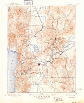
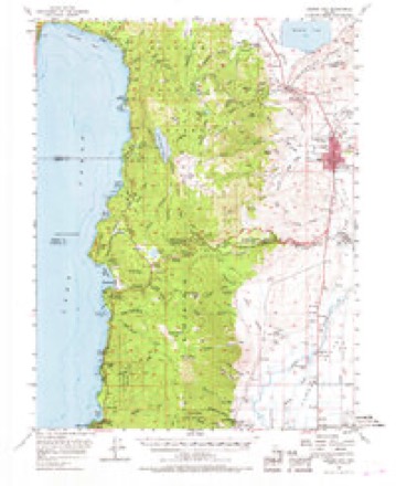
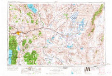
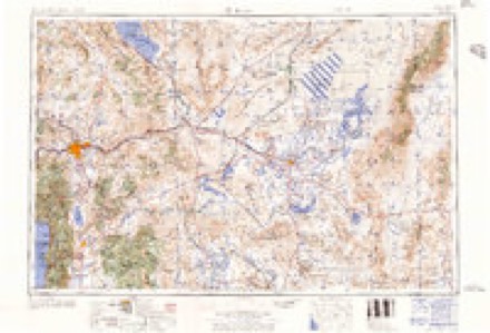
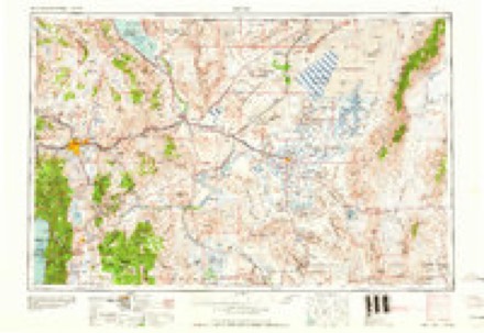
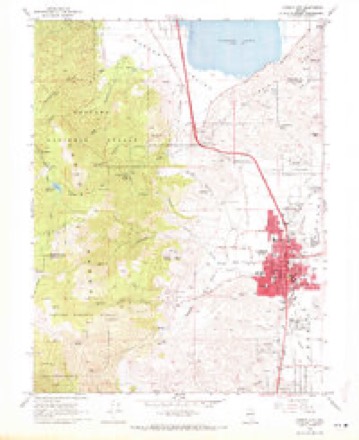
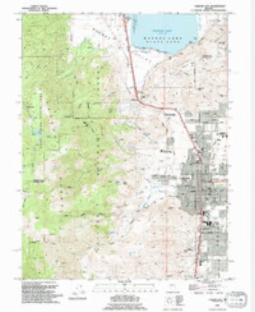
30 topographic sheets cover this place, the earliest surveyed in 1891 and the latest in 1994. It stands in the Carson City census division. It lies in ZIP code area 89703. It stands on Ash Canyon Creek. The Survey maps it on the Carson City quadrangle.
Research this city
On record in Carson City
Buildings and businesses the archive holds for this place. Each opens its own page, with the source record it came from.
On the National Register 10 records
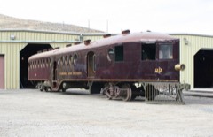 McKeen Motor Car #70National Historic Landmark · listed 2005
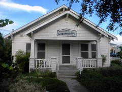 Adams Houselisted 1999
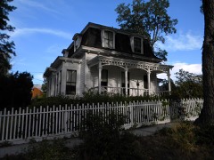 Belknap Houselisted 1997
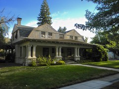 Dr. William Henry Cavell Houselisted 1987
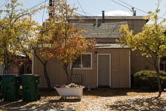 Dat So La Lee Houselisted 1994
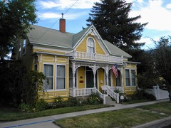 Olcovich-Meyers Houselisted 1993
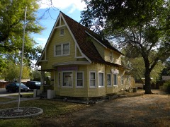 George L. Sanford Houselisted 1994
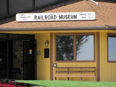 Virginia and Truckee Railroad Depot-Carson Citylisted 1998
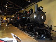 Virginia and Truckee Railway Locomotive #27listed 2004
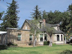 West Side Historic Districtlisted 2011
Surveyed buildings and structures 12 of 24 shown
- Abraham Curry House, 406 North Nevada Street, Carson City, Carson Cityfederal building survey, 5 photographs
- Alfred Chartz House, 412 North Nevada Street, Carson City, Carson Cityfederal building survey, 3 photographs
- David Smaill House, 313 West Ann Street, Carson City, Carson City (Independent City)federal building survey, 5 photographs
- E. D. Sweeney Building, 102 South Curry Street, Carson City, Carson Cityfederal building survey, 4 photographs
- First United Methodist Church, 200 North Division Street, Carson City, Carson Cityfederal building survey, 9 photographs
- G. W. G. Ferris House, 311 West Third Street, Carson City, Carson Cityfederal building survey, 5 photographs
- Henry Marvin Yerington House, 512 North Division Street, Carson City, Carson Cityfederal building survey, 11 photographs
- James D. Roberts House, 1207 North Carson Street, Carson City, Carson Cityfederal building survey, 5 photographs
- King Street, General View, 1880, Carson City, Carson Cityfederal building survey, 2 photographs
- Kings Canyon Road, Carson City, Carson Cityfederal building survey, 29 photographs
- Lew M. Meder House, 308 North Nevada Street, Carson City, Carson Cityfederal building survey, 5 photographs
- Mark Twain House, Division & Spear Streets, Carson City, Carson City (Independent City)federal building survey, 1 photograph
Topographic sheets covering this place
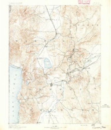
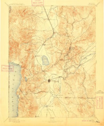
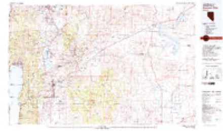
11 surveys from 30 printed sheetsMatched by testing this settlement's coordinate against the published boundary of every sheet in the United States Geological Survey's historical collection. Each opens the scanned sheet at the Survey.
- 1891 USGS Carson quadrangle1:125000
- 1893 USGS Carson quadrangle1:125000, 8 printings
- 1893 USGS Carson City quadrangle1:125000
- 1956 USGS Carson City quadrangle1:62500, 4 printings
- 1957 USGS Reno quadrangle1:250000, 5 printings
- 1959 USGS Reno quadrangle1:250000
- 1960 USGS Reno quadrangle1:250000, 2 printings
- 1968 USGS Carson City quadrangle1:24000, 3 printings
- 1974 USGS Carson City quadrangle1:24000
- 1979 USGS Carson City quadrangle1:100000, 2 printings
- 1994 USGS Carson City quadrangle1:24000, 2 printings
Photographs
8 of 39 photographs shown, 1911 to 1989Taken for the Office of War Information and the Farm Security Administration, who photographed the country between 1935 and 1944. Works of United States government photographers, with no known restriction on use. Each opens its catalogue record.
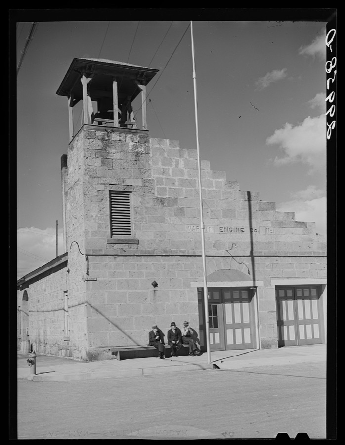
Rothstein, Arthur, 1940. Library of Congress
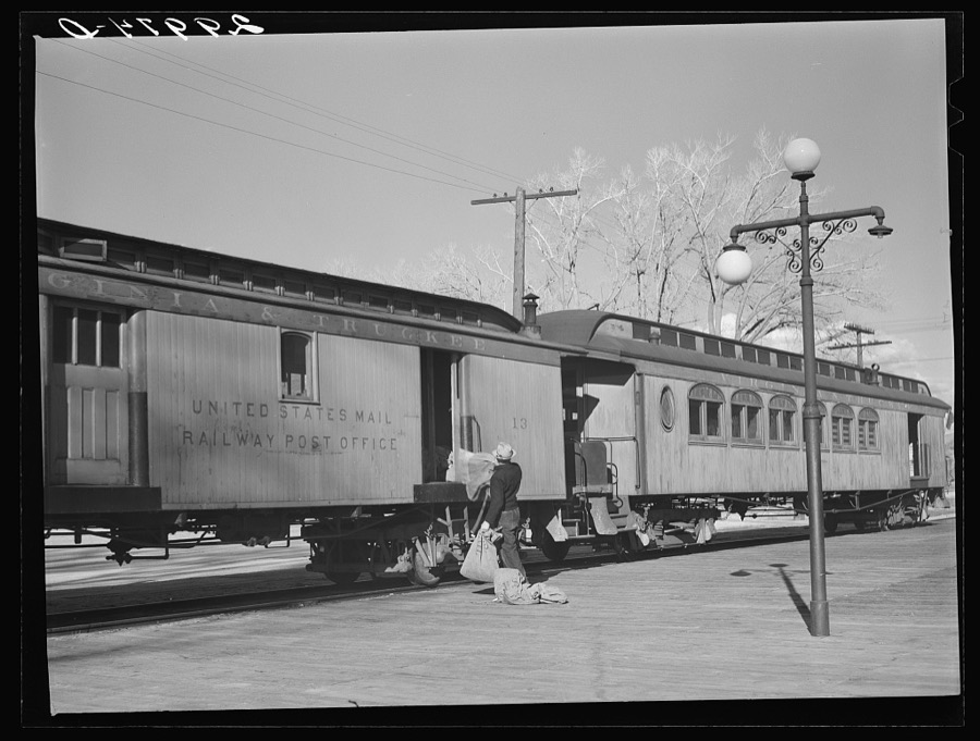
Rothstein, Arthur, 1940. Library of Congress
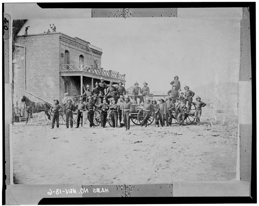
Photographer not recorded. Library of Congress
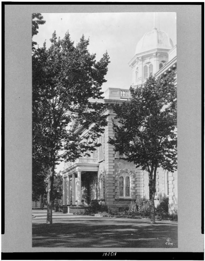
Photographer not recorded, 1920. Library of Congress
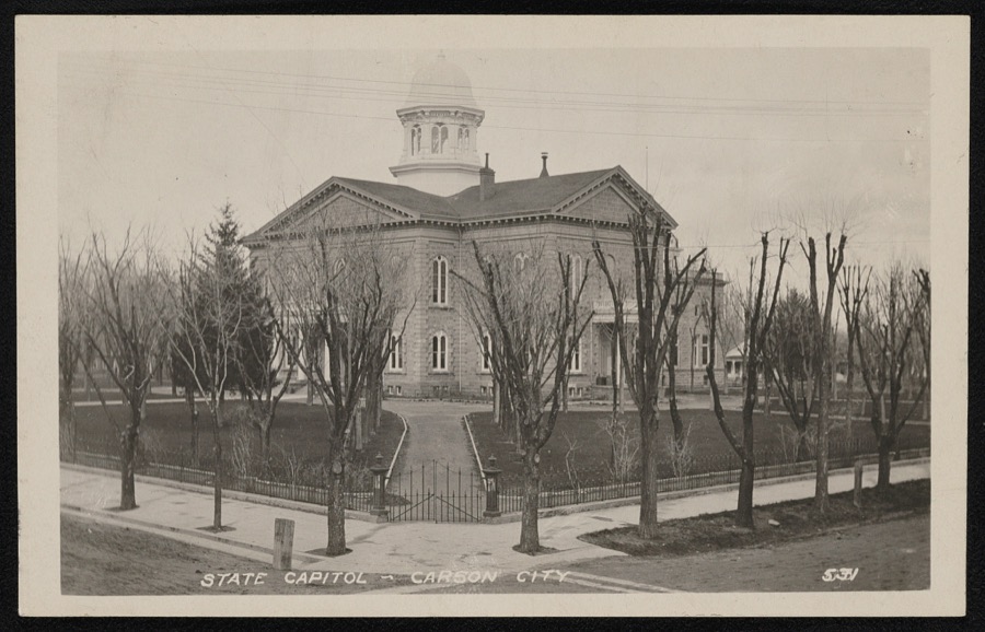
Photographer not recorded, 1911. Library of Congress
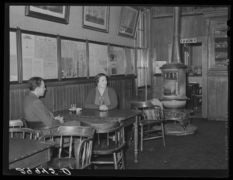
Rothstein, Arthur, 1940. Library of Congress
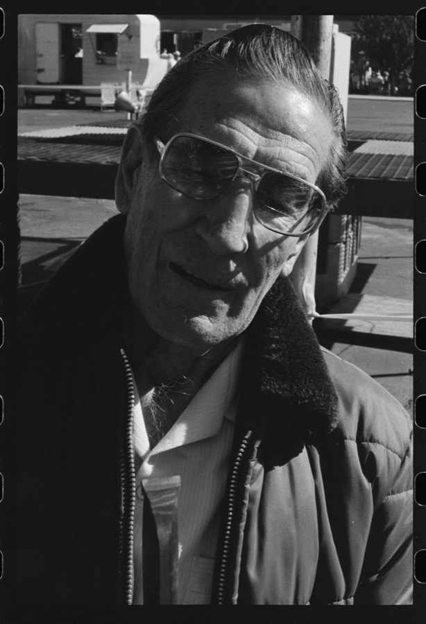
Graham, Andrea (Research team member), 1989. Library of Congress
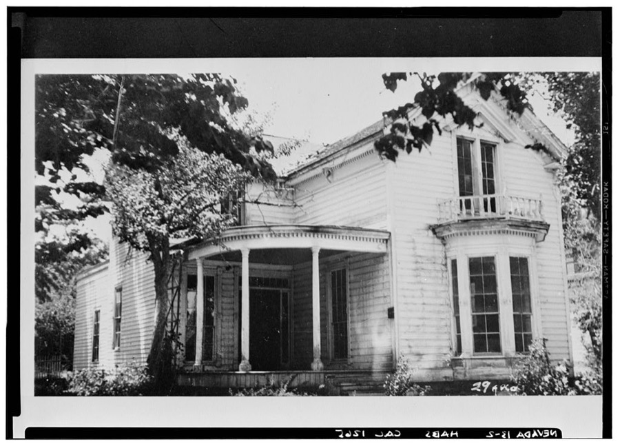
Photographer not recorded. Library of Congress
Every photograph of Carson City
Fires near this place
178 since 1992Regional context, not property-specific evidence. The federal wildfire occurrence database lists 178 fires within 5 miles of Carson City between 1992 and 2020, burning about 13,094 acres in total. 42 started naturally. 5 were recorded as arson. Distance is straight-line from the map coordinates, so a fire counted here may appear on a neighbouring settlement's page as well.
| Reported cause | Fires |
|---|---|
| Missing data/not specified/undetermined | 51 |
| Natural | 42 |
| Recreation and ceremony | 31 |
| Equipment and vehicle use | 12 |
| Firearms and explosives use | 11 |
| Fireworks | 6 |
| Debris and open burning | 6 |
| Misuse of fire by a minor | 6 |
| Arson/incendiarism | 5 |
| Power generation/transmission/distribution | 4 |
| Other causes | 3 |
| Smoking | 1 |
The most recent of them, most recent first, with the day each was reported and the service that recorded it.
| Date | Cause | Size | Reported by | Name on the report |
|---|---|---|---|---|
| 9 September 2001 | Recreation and ceremony | under an acre | Carson City District Office | BRUNSWICK |
| 8 September 2017 | Missing data/not specified/undetermined | under an acre | Carson City District Office | ARROWHEAD |
| 8 September 2011 | Missing data/not specified/undetermined | under an acre | Carson City District Office | AMBROSE |
| 8 September 2005 | Other causes | under an acre | Carson City District Office | TRAVEL |
| 8 September 2002 | Recreation and ceremony | under an acre | Carson City District Office | KOONTZ |
| 8 September 1999 | Recreation and ceremony | under an acre | Carson City District Office | MEXICAN |
| 5 September 2017 | Natural | under an acre | Truckee Meadows Fire Protection District | POLECAT |
| 4 September 2019 | Natural | 5.3 acres | Humboldt-Toiyabe National Forest | JACKS |
Settlements close enough to share some of these fires:
Mines and quarries near this place
10 of 51 shownRegional context, not property-specific evidence. The federal mineral resources record lists 51 workings within 5 miles of Carson City: 26 past producers, 11 occurrences, 9 prospects, 3 unknowns. 2 still produce. What was taken out: Silver, Sand and Gravel, Construction, Gold, Copper. Distance is straight-line from the map coordinates, so a quarry counted here may appear on a neighbouring settlement's page as well.
| Where | Site | Commodity | Status | Recorded |
|---|---|---|---|---|
| Athens Mine | Silver, Gold, Copper | Past Producer | ||
| Brunswick Canyon Pit | Stone | Past Producer | ||
| Carson Black Lead Mine | Graphite | Past Producer | 1903 | |
| Carson City Monazite-Bearing Placer | REE, Chromium, Gold, Iron, Zirconium | Prospect | ||
| Carson Mine | Gold, Silver, Lead, Tungsten | Prospect | ||
| Crystal Claims | Silver, Lead, Zinc, Gold | Past Producer | ||
| Lucky Strike Group | Uranium, Silver, Gold | Prospect | ||
| May Day | Lead, Zinc, Silver, Gold, Copper | Past Producer | ||
| North Carson | Copper, Silver, Lead | Past Producer | ||
| North Carson Mine | Copper, Silver, Lead, Gold | Past Producer |
Storms near this place
26 since 1996Regional context, not property-specific evidence. The National Weather Service names Carson City in 26 storm reports between 1996 and 2025: 21 heavy rain, 2 hail, 2 thunderstorm wind, 1 dust devil. The reports record 2 injuries. Each account below is quoted exactly as the forecast office filed it, from the NOAA Storm Events Database, and each date opens the federal record of that event.
| When | Event | Place named | Harm | What the report says |
|---|---|---|---|---|
| July 2003 | Thunderstorm Wind | Carson City | 2 hurt | A women and child were slightly injured by falling tree branches when thunderstorm wind gusts estimated at 50 mph blew through Mills Park in Carson City. |
| December 1996 | Heavy Rain | Carson City | $100,000 | no account filed |
| February 2009 | Dust Devil | Carson City | $5,000 | A possible dust devil descended the foothills just west of Carson City. Flying debris generated by the dust devil damaged 12 automobiles in the DMV parking lot. |
| June 2007 | Thunderstorm Wind | Carson City | $5,000 | The Nevada Appeal newspaper reported that strong wind gusts brought down tree limbs in Carson City. One downed tree limb on Fifth Street knocked out power to 900 residents, including the Carson City Courthouse and Sheriff's Department. |
| February 2025 | Heavy Rain | Carson City | - | A COCORAHS station (NV-CC-14 Carson City) located 3.0 mi NNE of Carson City, NV, reported a 24hr rainfall storm total of 0.59 inches. |
| February 2025 | Heavy Rain | Carson City | - | A COCORAHS station (NV-CC-14 Carson City) located 3.0 mi NNE of Carson, NV, reported a 24hr rainfall storm total of 2.02 inches. |
| February 2024 | Heavy Rain | Carson City | - | A CoCORAHS station (NV-CC-23) located 1.0 mi W of Carson City, NV, and a trained spotter located 2.0 mi N of Stewart, NV, reported a 24 hr rainfall storm total of 1.33 inches and 1.23 inches. |
| September 2024 | Heavy Rain | Carson City | - | Mesonet station (CRSC6) located 1.0 mi SSW of Lakeview, NV, reported 24 hour rainfall storm total of 0.56 inches. |
| March 2023 | Heavy Rain | Carson City | - | A COCORAHS, NV-CC-20 Carson City, located 3.6 mi NNW of Carson City, NV, reported a 24-hour rainfall total of 1.62 inches. |
| September 2023 | Heavy Rain | Carson City | - | A CO-OP Observer located 1.6 mi S of Carson City, NV, and a CoCoRAHs Station (NV-CC-14) located 4.4 mi N of Carson City, NV, reported storm total rainfall amounts of 0.70 and 0.56 inches respectively. |
| November 2020 | Heavy Rain | Carson City | - | Reporting 0.65 inches of rain in last 12 hours. |
| March 2019 | Heavy Rain | Carson City | - | CoCoRaHS station NV-CC-21 in Carson City reported 0.60 inches of rainfall in a 24 hour period from 27 March 0800PST to 28 March 0800PST. |
| January 2019 | Heavy Rain | Carson City | - | CO-OP observer CRCN2 in Carson City reported 1.00 inch of rainfall in a 24 hour period from 16 January 0700PST to 17 January 0700PST. |
| December 2018 | Heavy Rain | Carson City | - | Trained weather spotter 1 mile northeast of Carson City reported 0.96 inches of rainfall in a 24-hour period from 24 December 0700PST to 25 December 0700PST. |
| March 2018 | Heavy Rain | Carson City | - | Mesonet station VCEN2, 2 miles west-southwest of Lakeview reported 3.23 inches of storm total rainfall from 20 March 0648PST to 23 March 0648PST. |
| March 2018 | Heavy Rain | Carson City | - | Trained weather spotter in Carson City reported 2.35 inches of storm total rainfall from 20 March 1134PST to 23 March 1134PST. 0.81 inches of that rain fell from 22 March 1134PST to 23 March 1134PST. |
| April 2018 | Heavy Rain | Carson City | - | Trained weather spotter 2 miles north of Stewart measured 0.54 inches of rainfall in a 24 hour period from 6 April 1047PST to 7 April 1047PST. |
| April 2018 | Heavy Rain | Carson City | - | CoCoRaHS station NV-CC-21, Carson City reported 0.59 inches of rainfall in a 24 hour period from 6 April 0800PST to 7 April 0800PST. |
| May 2018 | Heavy Rain | Carson City | - | CoCoRaHS station NV-CC-14, 3 miles north-northeast of Carson City reported 0.53 inches of rainfall in a 24-hour period from 16 May 0600PST to 17 May 0600PST. |
| May 2018 | Heavy Rain | Carson City | - | Mesonet station CRSC1, 1 mile northeast of Carson City reported 0.96 inches of rainfall in a 24-hour period from 24 May 0919PST to 25 May 0919PST. |
| November 2017 | Heavy Rain | Carson City | - | A trained weather spotter reported 4.47 inches of rain from 15 November 0800PST to 16 November 2000PST at an elevation of 5300 feet. |
| February 2006 | Heavy Rain | Carson City | - | A total of 3.52 inches of rain fell 3 miles west of Carson City. |
| December 2005 | Heavy Rain | Carson City | - | A total of 5.81 inches of rainfall reported 2 miles east of Carson City since the morning of December 30th. |
| August 2004 | Heavy Rain | Carson City | - | Six miles east of the Waterfall Fire burn area 0.75 inches of rain fell in one hour. Three feet of standing water was reported in the Plaza Shopping Center along U.S. Highway 50. |
| June 2000 | Hail | Carson City | - | Trained spotter reported 3/4 inch hail in Carson City. |
| July 2010 | Hail | Carson City | - | no account filed |
Nearest settlements
The eight closest, with where each one stands in the county. Distances are straight-line, computed from the Geographic Names Information System coordinates.
| Map | Place | Distance | Sheets |
|---|---|---|---|
| Eagle Station (historical) | 0.1 miles | 30 | |
| Carson Hot Springs | 2.2 miles | 30 | |
| New Empire | 2.5 miles | 29 | |
| Mill Creek Settlement (historical) | 3.1 miles | 30 | |
| Empire | 3.2 miles | 29 | |
| Stewart | 3.3 miles | 28 | |
| Pinyon Hills | 3.7 miles | 29 | |
| Lakeview | 3.7 miles | 30 |
Provenance
This settlement is recorded in the Geographic Names Information System as feature 863976. The sheet list is computed by point-in-boundary test against the United States Geological Survey's historical topographic inventory. Both are works of the United States government and carry no copyright under 17 U.S.C. 105.
Wildfire. Short, Karen C. 2022. Spatial wildfire occurrence data for the United States, 1992-2020 [FPA_FOD_20221014]. 6th Edition. Fort Collins, CO: Forest Service Research Data Archive. https://doi.org/10.2737/RDS-2013-0009.6 Collected with United States Government funding and usable without additional permissions or fees.
Mines and quarries. USGS Mineral Resources Data System (MRDS) https://mrdata.usgs.gov/mrds/ A work of the United States government, no copyright under 17 U.S.C. 105.
Storms. NOAA National Centers for Environmental Information, Storm Events Database https://www.ncei.noaa.gov/stormevents/ A work of the United States government, no copyright under 17 U.S.C. 105. Narratives are quoted verbatim from the National Weather Service report and are not edited or summarised.