 Block
Boulder City, Nevada
31 topographic sheets cover this place, the earliest surveyed in 1886 and the latest in 1983. It stands in the Clark census division. It lies in ZIP code area 89005. It stands on Bootleg Wash. The Survey maps it on the Boulder City quadrangle. 14,885 people lived here at the 2020 count. It stands 2,510 feet above sea level.
On record in Boulder City
Buildings and businesses the archive holds for this place. Each opens its own page, with the source record it came from.
On the National Register 5 records
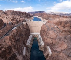 Hoover DamNational Historic Landmark · listed 1981
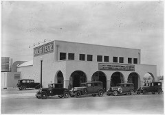 Boulder City Historic Districtlisted 1983
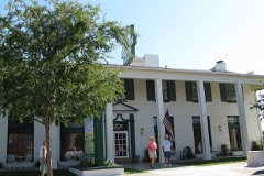 Boulder Dam Hotellisted 1982
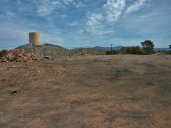 Old Boulder City Hospitallisted 1982
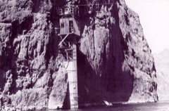 Willow Beach Gauging Stationlisted 1986
Surveyed buildings and structures 12 of 43 shown
- Alan Bible Visitor Center, U.S. Highway 93 and Lakeshore Scenic Drive, Boulder Cityfederal building survey, 8 photographs
- Arizona Gravel Pit Road, 6 to 8 miles northeast of Boulder City, Boulder Cityfederal building survey, 1 photograph
- Bureau of Mines Boulder City Experimental Station, Administration Offices & Laboratory Building, Date Street north of U.S. Highway 93, Boulder Cityfederal building survey, 3 photographs
- Bureau of Mines Boulder City Experimental Station, Annex, Date Street north of U.S. Highway 93, Boulder Cityfederal building survey, 3 photographs
- Bureau of Mines Boulder City Experimental Station, Date Street north of U.S. Highway 93, Boulder Cityfederal building survey, 1 photograph
- Bureau of Mines Boulder City Experimental Station, Electrolytic Manganese Building, Date Street north of U.S. Highway 93, Boulder Cityfederal building survey, 5 photographs
- Bureau of Mines Boulder City Experimental Station, Oil & Paint Storage Building, Date Street north of U.S. Highway 93, Boulder Cityfederal building survey, 2 photographs
- Bureau of Mines Boulder City Experimental Station, Ore Dressing Pilot Plant, Date Street north of U.S. Highway 93, Boulder Cityfederal building survey, 7 photographs
- Bureau of Mines Boulder City Experimental Station, Pump House, Date Street north of U.S. Highway 93, Boulder Cityfederal building survey, 3 photographs
- Bureau of Mines Boulder City Experimental Station, Titanium Development Plant, Date Street north of U.S. Highway 93, Boulder Cityfederal building survey, 4 photographs
- Bureau of Mines Boulder City Experimental Station, Titanium Research Building, Date Street north of U.S. Highway 93, Boulder Cityfederal building survey, 6 photographs
- Bureau of Mines Boulder City Experimental Station, Warehouse, Date Street north of U.S. Highway 93, Boulder Cityfederal building survey, 2 photographs
Population over time
2 figuresBoulder City fell from 15,023 to 14,885 between 2010 and 2020. These are the recorded population figures Wikidata holds for this place, reached through the Geographic Names Information System number this page is keyed on rather than by name, so they belong to this place and not to another of the same name. Most are census counts, but not all are: an early figure may be a founding or settlement estimate, and an estimate published within five years of a census is left out. The change column is computed, and is left blank where more than 20 years separate a figure from the one before it, because a gap that long is not a change between two counts.
| Year | People | Change |
|---|---|---|
| 2010 | 15,023 | |
| 2020 | 14,885 | -138 (-1%) |
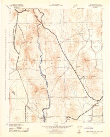
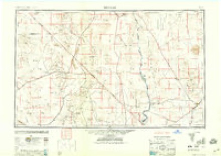
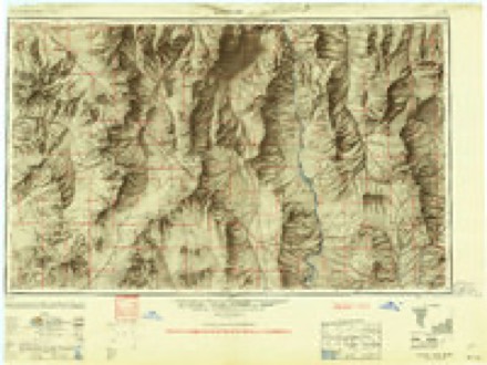
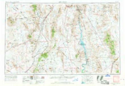
Topographic sheets covering this place
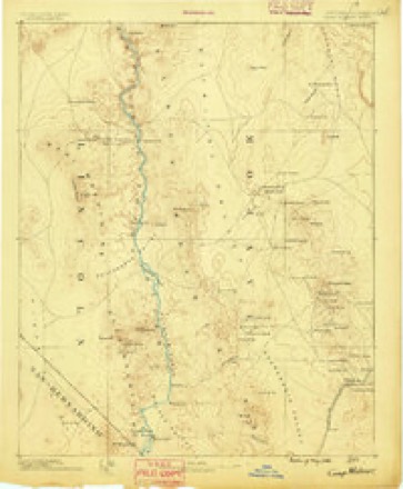
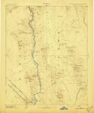
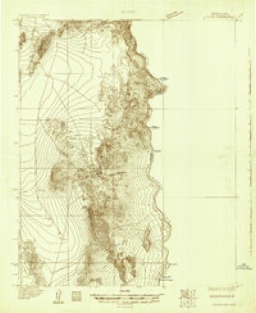
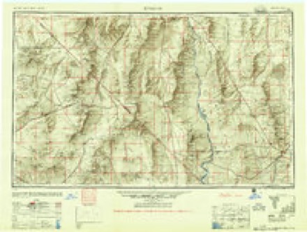
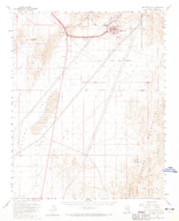
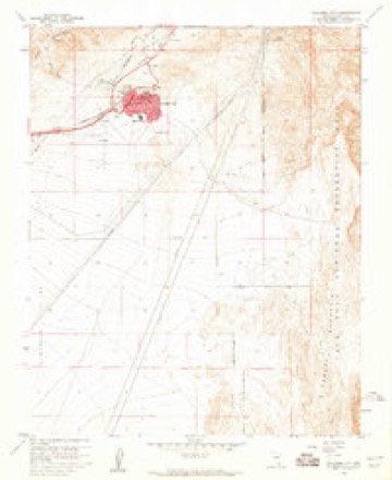
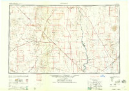
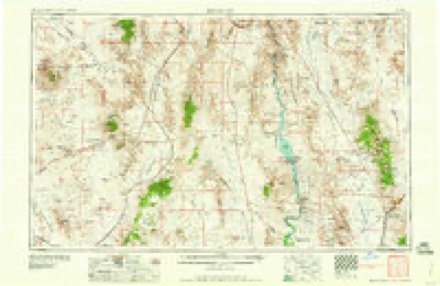
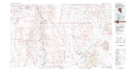
13 surveys from 31 printed sheetsMatched by testing this settlement's coordinate against the published boundary of every sheet in the United States Geological Survey's historical collection. Each opens the scanned sheet at the Survey.
- 1886 USGS Camp Mohave quadrangle1:250000
- 1892 USGS Camp Mohave quadrangle1:250000, 8 printings
- 1926 USGS Nelson quadrangle1:96000
- 1942 USGS Camp Mohave quadrangle1:250000
- 1947 USGS Kingman quadrangle1:250000, 2 printings
- 1948 USGS Kingman quadrangle1:250000
- 1954 USGS Kingman quadrangle1:250000, 4 printings
- 1955 USGS Kingman quadrangle1:250000
- 1958 USGS Boulder City quadrangle1:62500, 2 printings
- 1958 USGS Boulder City quadrangle1:24000, 3 printings
- 1958 USGS Kingman quadrangle1:250000, 2 printings
- 1960 USGS Kingman quadrangle1:250000, 3 printings
- 1983 USGS Boulder City quadrangle1:100000, 2 printings
Photographs
7 photographs, 2022Taken for the Office of War Information and the Farm Security Administration, who photographed the country between 1935 and 1944. Works of United States government photographers, with no known restriction on use. Each opens its catalogue record.
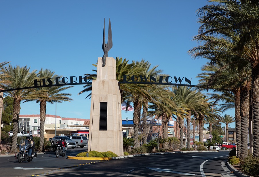
Highsmith, Carol M, 2022. Library of Congress
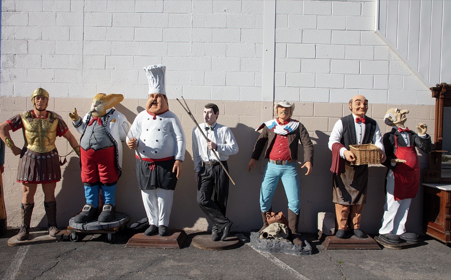
Highsmith, Carol M, 2022. Library of Congress
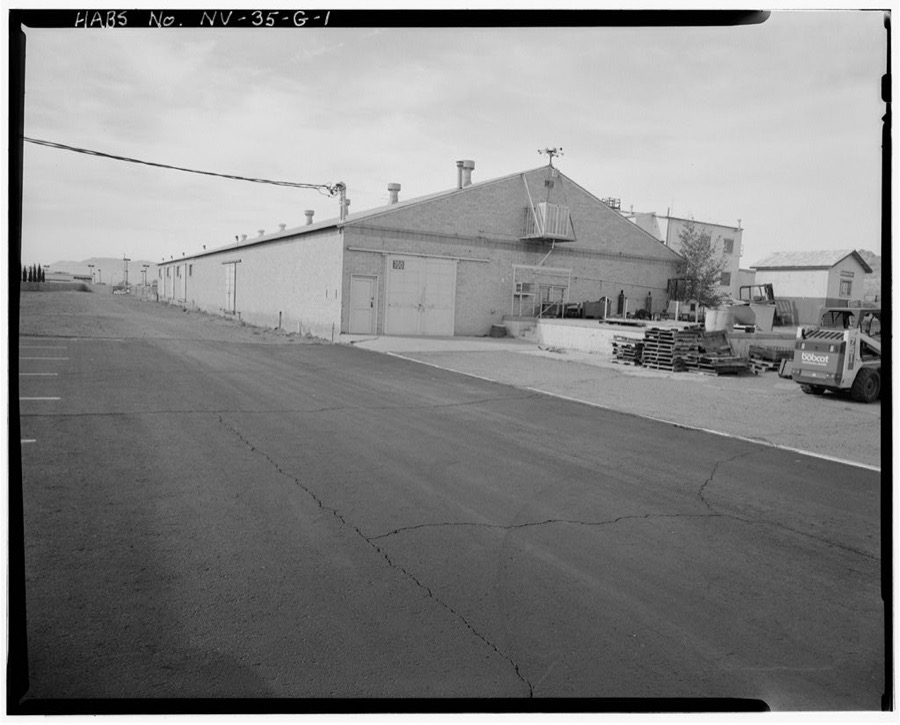
Photographer not recorded. Library of Congress
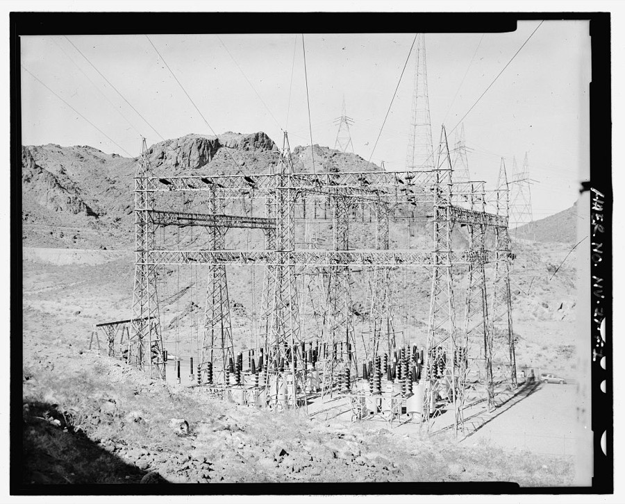
Photographer not recorded. Library of Congress
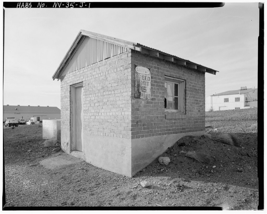
Photographer not recorded. Library of Congress
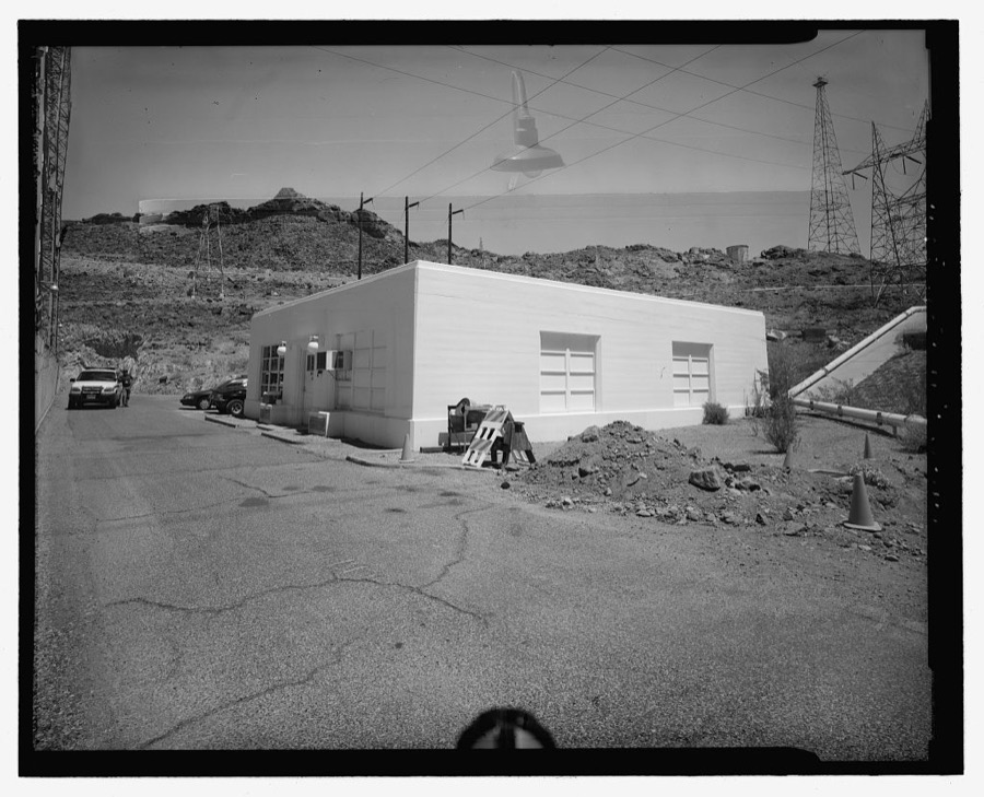
Photographer not recorded. Library of Congress
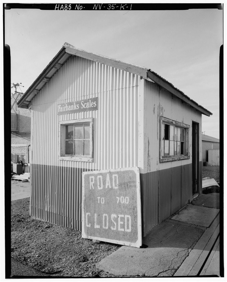
Photographer not recorded. Library of Congress
Fires near this place
78 since 1992Regional context, not property-specific evidence. The federal wildfire occurrence database lists 78 fires within 5 miles of Boulder City between 1992 and 2020, burning about 18 acres in total. 18 started naturally. 2 were recorded as arson. Distance is straight-line from the map coordinates, so a fire counted here may appear on a neighbouring settlement's page as well.
| Reported cause | Fires |
|---|---|
| Missing data/not specified/undetermined | 18 |
| Natural | 18 |
| Recreation and ceremony | 17 |
| Equipment and vehicle use | 9 |
| Debris and open burning | 6 |
| Fireworks | 4 |
| Arson/incendiarism | 2 |
| Smoking | 2 |
| Misuse of fire by a minor | 1 |
| Other causes | 1 |
The most recent of them, most recent first, with the day each was reported and the service that recorded it.
| Date | Cause | Size | Reported by | Name on the report |
|---|---|---|---|---|
| 4 September 2008 | Debris and open burning | under an acre | Lake Mead National Recreation Area | GOLD STRIKE |
| 27 September 1994 | Smoking | under an acre | Lake Mead National Recreation Area | HIGHWAY |
| 19 September 1998 | Misuse of fire by a minor | under an acre | Lake Mead National Recreation Area | PALMOUS |
| 8 August 2010 | Natural | under an acre | Southern Nevada District Office | NAT OUT 2 |
| 5 August 1999 | Arson/incendiarism | under an acre | Lake Mead National Recreation Area | BC 99-3 |
| 25 August 2011 | Natural | under an acre | Lake Mead National Recreation Area | BIBLE |
| 24 August 2000 | Natural | under an acre | Lake Mead National Recreation Area | PALM TREE |
| 12 August 2004 | Natural | under an acre | Lake Mead National Recreation Area | BOULDER |
Settlements close enough to share some of these fires:
Mines and quarries near this place
10 of 17 shownRegional context, not property-specific evidence. The federal mineral resources record lists 17 workings within 5 miles of Boulder City: 7 prospects, 5 occurrences, 2 past producers, 1 plant. 2 still produce. What was taken out: Manganese, Gold, Copper, Sand and Gravel, Construction. Distance is straight-line from the map coordinates, so a quarry counted here may appear on a neighbouring settlement's page as well.
| Where | Site | Commodity | Status | Recorded |
|---|---|---|---|---|
| Alunite Mine | Gold, Potassium | Occurrence | Potash | |
| Boulder City | Manganese, Iron, Silica, Magnesite, Aluminum, Sulfur, Phosphorus-Phosphates, Calcium | Prospect | 1941 | |
| Gold Prospects | Gold, Silver, Copper | Occurrence | ||
| Gordon Barite | Barium-Barite, Manganese, Fluorine-Fluorite | Prospect | ||
| Railroad Deposit | Aluminum | Prospect | ||
| Railroad Pass Deposit | Gold, Aluminum, Silver, Copper, Potassium | Past Producer | 1908 | |
| Silver Bell Group | Copper, Silver, Manganese, Gold | Prospect | 1914 | |
| Sullivan Mine | Semiprecious Gemstone | Prospect | ||
| Unnamed Alum Occurrence | Potassium | Occurrence | ||
| Bootleg Pit & Mill | Sand and Gravel, Construction | Past Producer |
Storms near this place
30 since 1994Regional context, not property-specific evidence. The National Weather Service names Boulder City in 30 storm reports between 1994 and 2025: 15 thunderstorm wind, 11 flash flood, 4 hail. The reports record 4 injuries. Each account below is quoted exactly as the forecast office filed it, from the NOAA Storm Events Database, and each date opens the federal record of that event.
| When | Event | Place named | Harm | What the report says |
|---|---|---|---|---|
| July 2006 | Flash Flood | Boulder City | 2 hurt | Highway 93 was covered with water and debris, leading to two vehicle accidents with a total of two injuries (indirect). |
| August 1997 | Flash Flood | Boulder City | 1 hurt, $4,500,000 | Boulder City and the nearby Lake Mead National Recreation Area were also hit hard by heavy rain producing thunderstorms. Water and debris swept across Highway 93, between Railroad Pass and Boulder City, taking several vehicles off the road but sparing all occupants from injury. Flood waters also eroded roads, drainage canals and damaged many buildings in Boulder City. One man almost drowned in a drainage culvert but was rescued and hospitalized. The storms and floods ravaged the west side of Lake Mead battering marinas, eroding beaches and washing out roads. The recreation area was closed by 1:25 pm PST as access to Hemenway Launch, Boulder Beach and Lake Mead Marina was cut off by flooding. Over 500 people were held captive within the park until the flood waters subsided. Damage was estimated at over one million dollars for Lake Mead and about 3.4 million dollars for Boulder City. The Governor declared Boulder City a disaster area along with Henderson. |
| August 1997 | Flash Flood | Boulder City | 1 hurt, $50,000 | The Boulder City Police Department reported flood waters had closed Georgia Street and Riviera Court and Buchanan and Broadmore. Also, an 11 year old boy was caught in a drainage ditch by flood waters and had to be rescued. The exact time was unknown. He escaped with only minor injuries. The flood waters also damaged the Georgia Avenue drainage channel and washed away dirt fill which set back repair efforts to roads from a recent flash flood event. |
| August 2010 | Thunderstorm Wind | Boulder City | $300,000 | An anemometer at the Las Vegas Boat Harbor measured a gust to 70 mph before failing. Several docks, including floating docks and a fueling dock, were damaged, and at least two private boats were damaged. |
| July 2011 | Thunderstorm Wind | Boulder City | $100,000 | Thunderstorm winds broke apart two docks and damaged 20 vehicles, primarily by lofting gravel which broke out windshields. |
| August 1997 | Thunderstorm Wind | Boulder City | $75,000 | Intense thunderstorm winds pummelled Boulder City uprooting and snapping numerous trees. The golf course alone reported 40 trees down. The Boulder City airport recorded a peak wind gust of 91 mph. |
| July 2014 | Thunderstorm Wind | Boulder City | $50,000 | Thunderstorm winds over Lake Mead triggered swells up to eight feet that sank at least one vessel. 11 people had to be rescued. |
| July 2021 | Flash Flood | Boulder City | $10,000 | Lakeshore Road and Boulder Beach Frontage Road were covered with two feet of debris, including basketball sized rocks, due to flash flooding. |
| September 2019 | Thunderstorm Wind | Boulder City | $10,000 | The peak gust occurred at 2313 PST. Several houseboats broke loose from their anchors and were pushed onshore, and a floating bathroom was pushed into a dock. |
| August 2000 | Thunderstorm Wind | Boulder City | $10,000 | Strong thunderstorm winds blew the roof off of a house in Boulder City. |
| August 2023 | Thunderstorm Wind | Boulder City | $5,000 | Thunderstorm winds caused docks to separate. |
| June 2016 | Thunderstorm Wind | Boulder City | $5,000 | Roofing material was torn from a condo 2 miles NNE of Boulder City, and a 59 mph gust was measured at Callville Bay. |
| August 2014 | Thunderstorm Wind | Boulder City | $5,000 | Thunderstorm winds damaged floating docks at the Las Vegas Boat Harbor. |
| September 2011 | Flash Flood | Boulder City | $5,000 | Numerous streets were flooded in Boulder City. |
| July 2011 | Flash Flood | Boulder City | $5,000 | Mud and debris flowed across Highway 93 and also Pacifica Way in Boulder City. |
| August 2014 | Flash Flood | Boulder City | $2,000 | Debris washed over Lakeshore Road. |
| August 2014 | Flash Flood | Boulder City | $2,000 | Rocks and mud flowed down Isabel Street at Robinson Lane. |
| August 2014 | Flash Flood | Boulder City | $1,000 | Over six inches of water flowed over Lakeshore Road north of the Lake Mead National Recreation Area entrance, forcing the road to be closed. |
| September 2014 | Flash Flood | Boulder City | $1,000 | Six to eight inches of water flowed over several roads in Boulder City. |
| December 2010 | Flash Flood | Boulder City | $1,000 | Water, rocks and mud covered Highway 93 near the Hacienda Casino. |
| October 2018 | Thunderstorm Wind | Boulder City | - | Two sensors measured wind gusts to 60 and 58 mph. |
| August 1997 | Hail | Boulder City | - | Dime-sized hail was observed by a storm spotter in Boulder City. |
| June 1994 | Hail | Boulder City | - | A severe thunderstorm produced golf ball-sized hail and strong winds in Boulder City. |
| September 2025 | Thunderstorm Wind | Boulder City | - | no account filed |
| July 2021 | Thunderstorm Wind | Boulder City | - | no account filed |
| July 2021 | Thunderstorm Wind | Boulder City | - | no account filed |
| August 2016 | Thunderstorm Wind | Boulder City | - | no account filed |
| September 2011 | Hail | Boulder City | - | no account filed |
| July 2009 | Hail | Boulder City | - | no account filed |
| September 1998 | Thunderstorm Wind | Boulder City | - | no account filed |
Nearest settlements
The eight closest, with where each one stands in the county. Distances are straight-line, computed from the Geographic Names Information System coordinates.
| Map | Place | Distance | Sheets |
|---|---|---|---|
| McKeeversville (historical) | 1.3 miles | 31 | |
| Texas Acres | 4.3 miles | 32 | |
| Junction City (historical) | 4.9 miles | 23 | |
| Victory Village | 8.6 miles | 25 | |
| Henderson | 9.0 miles | 25 | |
| Carver Park | 9.0 miles | 25 | |
| Hesse Camp (historical) | 9.4 miles | 23 | |
| Lake Las Vegas | 10.0 miles | 25 |
Elsewhere
Matched on this settlement's Geographic Names Information System number rather than its name, so it cannot be a different place of the same name in another state.
| Wikipedia article on Boulder City | An encyclopaedic summary. Its text is share-alike, so it is linked here rather than copied. |
| Wikidata item Q858801 | The structured record the population and elevation above come from. Public domain (CC0). |
Provenance
This settlement is recorded in the Geographic Names Information System as feature 858617. The sheet list is computed by point-in-boundary test against the United States Geological Survey's historical topographic inventory. Both are works of the United States government and carry no copyright under 17 U.S.C. 105.
Wildfire. Short, Karen C. 2022. Spatial wildfire occurrence data for the United States, 1992-2020 [FPA_FOD_20221014]. 6th Edition. Fort Collins, CO: Forest Service Research Data Archive. https://doi.org/10.2737/RDS-2013-0009.6 Collected with United States Government funding and usable without additional permissions or fees.
Mines and quarries. USGS Mineral Resources Data System (MRDS) https://mrdata.usgs.gov/mrds/ A work of the United States government, no copyright under 17 U.S.C. 105.
Storms. NOAA National Centers for Environmental Information, Storm Events Database https://www.ncei.noaa.gov/stormevents/ A work of the United States government, no copyright under 17 U.S.C. 105. Narratives are quoted verbatim from the National Weather Service report and are not edited or summarised.