 Block
Reno, Nevada
29 topographic sheets cover this place, the earliest surveyed in 1891 and the latest in 1980. It stands in the Reno North census division. It lies in ZIP code area 89501. It lies near Scott Island. The Survey maps it on the Reno quadrangle. 264,165 people lived here at the 2020 count. It stands 4,505 feet above sea level.
Research this city
On record in Reno
Buildings and businesses the archive holds for this place. Each opens its own page, with the source record it came from.
On the National Register 12 of 68 shown
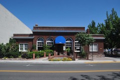 20th Century Clublisted 1983
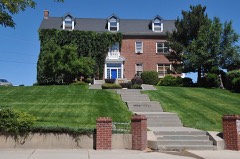 Alpha Tau Omega Fraternity Houselisted 2004
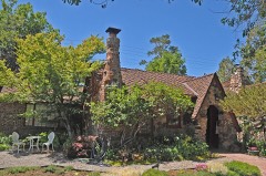 W.E. Barnard Houselisted 2002
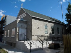 Bethel AME Churchlisted 2001
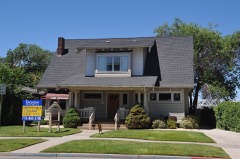 Benson Dillon Billinghurst Houselisted 1974
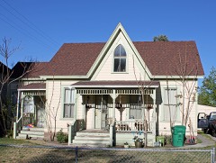 Borland-Clifford Houselisted 1983
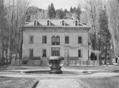 Bowers Mansionlisted 1976
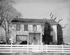 Peleg Brown Ranchlisted 1994
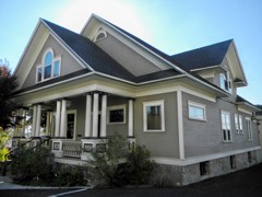 Charles H. Burke Houselisted 1984
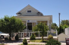 Burke-Berryman Houselisted 2004
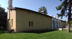 California Buildinglisted 1992
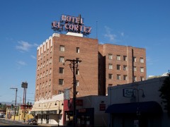 El Cortez Hotellisted 1984
Every listing in Washoe County
Surveyed buildings and structures 12 of 26 shown
- 1907 Thomas Flyer, 10 Lake Street, Renofederal building survey, 2 photographs
- Center Street Bridge, Spanning Truckee River at Center Street, Renofederal building survey, 10 photographs
- Joseph P. Schoppe House, 524 Kuenzli Street, Renofederal building survey, 6 photographs
- Lemmon-Anderson-Hixson Ranch, 11220 North Virginia Street, Renofederal building survey, 5 photographs
- Lemmon-Anderson-Hixson Ranch, Blacksmith Shop, 11220 North Virginia Street, Renofederal building survey, 3 photographs
- Lemmon-Anderson-Hixson Ranch, Cottage, 11220 North Virginia Street, Renofederal building survey, 6 photographs
- Lemmon-Anderson-Hixson Ranch, Residence, 11220 North Virginia Street, Renofederal building survey, 8 photographs
- Lemmon-Anderson-Hixson Ranch, Summer Kitchen, 11220 North Virginia Street, Renofederal building survey, 3 photographs
- Louis Norris House, 542-544 Kuenzli Street, Renofederal building survey, 5 photographs
- Peleg Brown Ranch, 12945 Old Virginia Road, Renofederal building survey, 3 photographs
- Peleg Brown Ranch, Foreman's House, 12945 Old Virginia Road, Renofederal building survey, 4 photographs
- Peleg Brown Ranch, Granary, 12945 Old Virginia Road, Renofederal building survey, 1 photograph
Population over time
2 figuresReno grew from 225,221 to 264,165 between 2010 and 2020. These are the recorded population figures Wikidata holds for this place, reached through the Geographic Names Information System number this page is keyed on rather than by name, so they belong to this place and not to another of the same name. Most are census counts, but not all are: an early figure may be a founding or settlement estimate, and an estimate published within five years of a census is left out. The change column is computed, and is left blank where more than 20 years separate a figure from the one before it, because a gap that long is not a change between two counts.
| Year | People | Change |
|---|---|---|
| 2010 | 225,221 | |
| 2020 | 264,165 | +38,944 (+17%) |
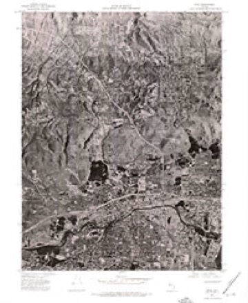
Topographic sheets covering this place
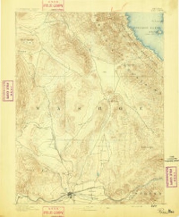
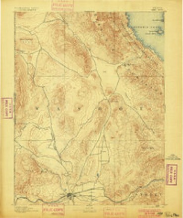
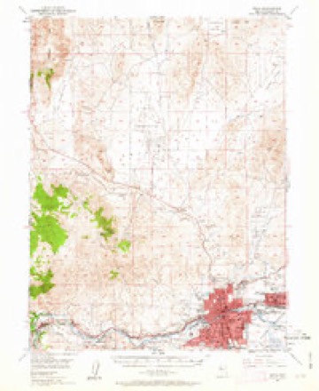
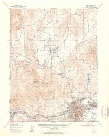
10 surveys from 29 printed sheetsMatched by testing this settlement's coordinate against the published boundary of every sheet in the United States Geological Survey's historical collection. Each opens the scanned sheet at the Survey.
- 1891 USGS Reno quadrangle1:125000
- 1893 USGS Reno quadrangle1:125000, 7 printings
- 1950 USGS Reno quadrangle1:62500, 3 printings
- 1951 USGS Reno quadrangle1:62500, 2 printings
- 1957 USGS Reno quadrangle1:250000, 5 printings
- 1959 USGS Reno quadrangle1:250000
- 1960 USGS Reno quadrangle1:250000, 2 printings
- 1967 USGS Reno quadrangle1:24000, 4 printings
- 1974 USGS Reno quadrangle1:24000
- 1980 USGS Reno quadrangle1:100000, 3 printings
Photographs
8 of 39 photographs shown, 1935 to 2022Taken for the Office of War Information and the Farm Security Administration, who photographed the country between 1935 and 1944. Works of United States government photographers, with no known restriction on use. Each opens its catalogue record.
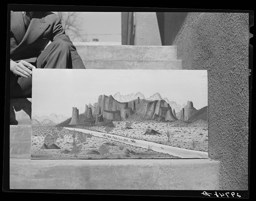
Rothstein, Arthur, 1940. Library of Congress
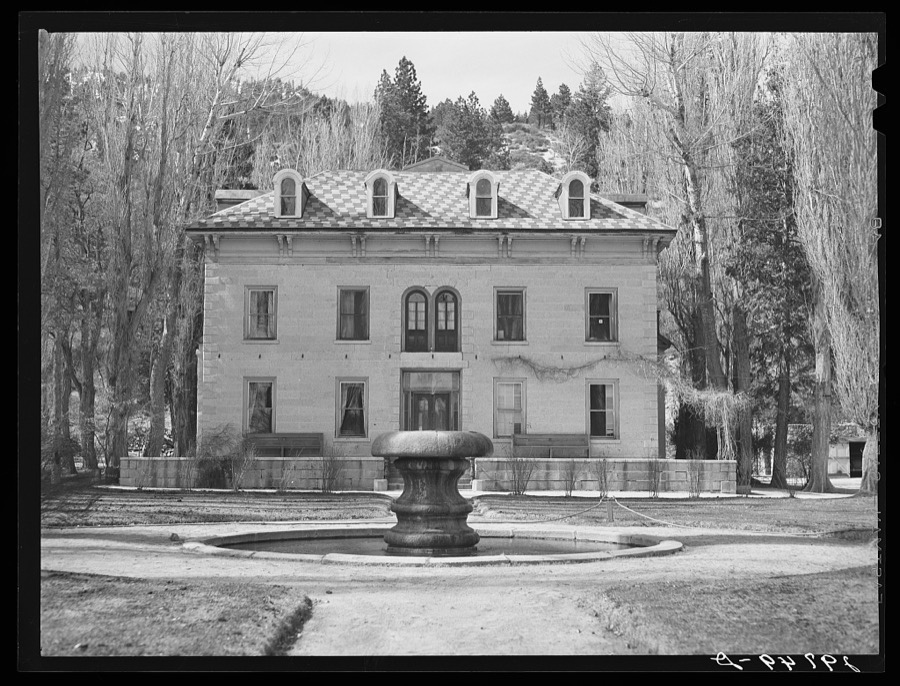
Rothstein, Arthur, 1940. Library of Congress
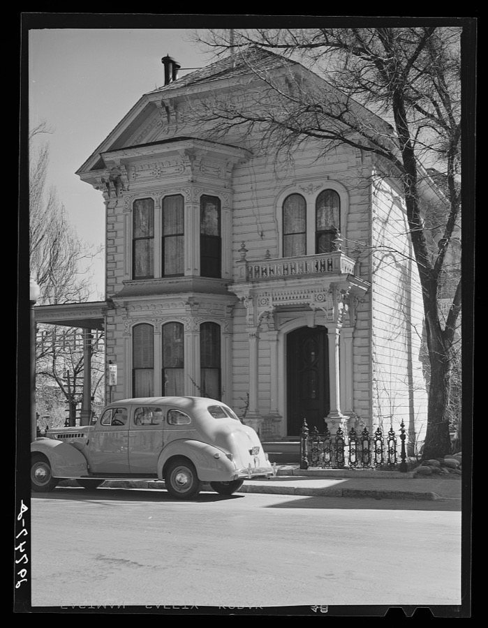
Rothstein, Arthur, 1935. Library of Congress
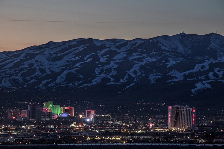
Highsmith, Carol M, 2022. Library of Congress
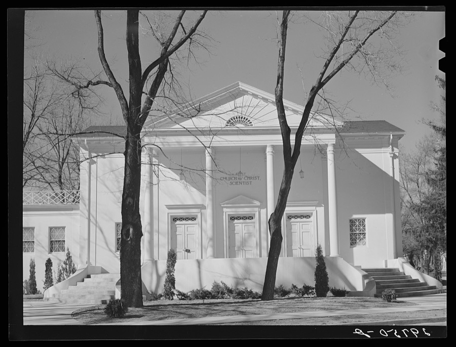
Rothstein, Arthur, 1940. Library of Congress
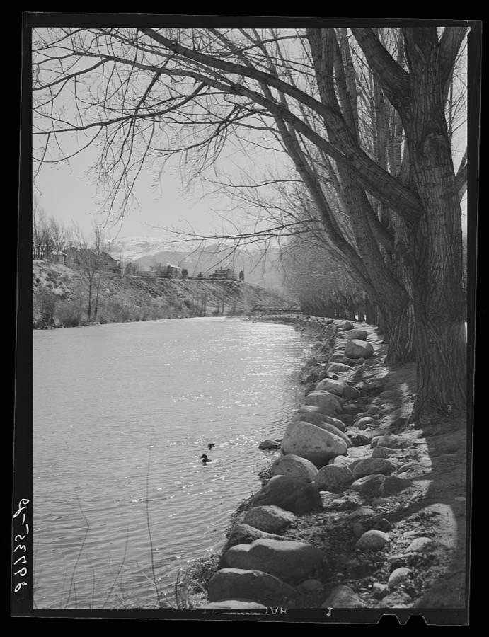
Rothstein, Arthur, 1940. Library of Congress
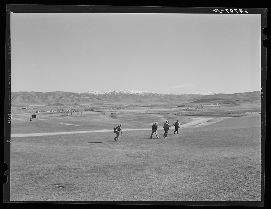
Rothstein, Arthur, 1940. Library of Congress
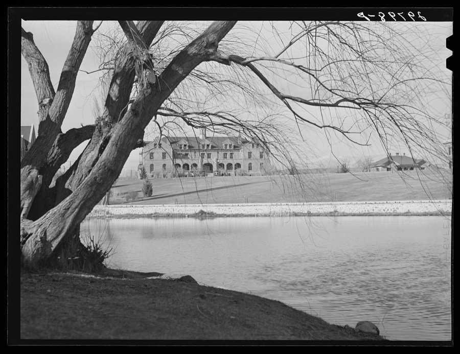
Rothstein, Arthur, 1940. Library of Congress
Every photograph of Washoe County
Fires near this place
117 since 1992Regional context, not property-specific evidence. The federal wildfire occurrence database lists 117 fires within 5 miles of Reno between 1992 and 2020, burning about 17,432 acres in total. 5 started naturally. 10 were recorded as arson. Distance is straight-line from the map coordinates, so a fire counted here may appear on a neighbouring settlement's page as well.
| Reported cause | Fires |
|---|---|
| Missing data/not specified/undetermined | 56 |
| Equipment and vehicle use | 10 |
| Misuse of fire by a minor | 10 |
| Arson/incendiarism | 10 |
| Recreation and ceremony | 7 |
| Fireworks | 6 |
| Debris and open burning | 5 |
| Natural | 5 |
| Power generation/transmission/distribution | 4 |
| Smoking | 3 |
| Other causes | 1 |
The most recent of them, most recent first, with the day each was reported and the service that recorded it.
| Date | Cause | Size | Reported by | Name on the report |
|---|---|---|---|---|
| 23 September 2018 | Misuse of fire by a minor | 2.6 acres | Carson City District Office | ROCKY RIDGE |
| 23 September 2006 | Misuse of fire by a minor | 5.0 acres | Humboldt-Toiyabe National Forest | EISENBERG |
| 22 September 2006 | Missing data/not specified/undetermined | 2.0 acres | Humboldt-Toiyabe National Forest | KEYSTONE2 |
| 21 September 1994 | Smoking | under an acre | Humboldt-Toiyabe National Forest | USFS 099 |
| 20 September 2009 | Misuse of fire by a minor | under an acre | Carson City District Office | HIGHWAY QUEEN |
| 20 September 1995 | Recreation and ceremony | under an acre | Humboldt-Toiyabe National Forest | CHIP |
| 18 September 2017 | Natural | 50 acres | Carson City District Office | WOODCHUCK |
| 17 September 2011 | Missing data/not specified/undetermined | 1.5 acres | Carson City District Office | RNOX 22 |
Settlements close enough to share some of these fires:
Mines and quarries near this place
10 of 29 shownRegional context, not property-specific evidence. The federal mineral resources record lists 29 workings within 5 miles of Reno: 13 past producers, 9 occurrences, 4 prospects, 2 producers. 3 still produce. What was taken out: Gold, Silver, Sand and Gravel, Construction, Silver, Gold. Distance is straight-line from the map coordinates, so a quarry counted here may appear on a neighbouring settlement's page as well.
| Where | Site | Commodity | Status | Recorded |
|---|---|---|---|---|
| (Facility) United States Platinum Refinery | REE, Uranium, Silver, Platinum, Gold | Plant | ||
| Arkell Mine | Silver, Gold, Antimony, Lead, Zinc | Past Producer | Anglesite, Argentite, Galena, Pyrite, Sphalerite | |
| Black Panther Area | Titanium, Metal | Occurrence | Vein | |
| Black Panther Mine Area | Titanium | Occurrence | ||
| Chalk Bluff | Diatomite | Past Producer | ||
| Desert King Mine | Gold, Silver, Lead, Zinc, Antimony | Past Producer | Anglesite, Argentite, Galena, Pyrite, Sphalerite | |
| Moana Springs | Geothermal | Producer | ||
| Reno May | Gold, Silver, Lead, Zinc | Occurrence | Galena, Pyrite | |
| Unnamed Mine | Gold, Boron-Borates | Past Producer | Vein | |
| Unnamed Prospect, Sec 29 | Silver, Gold, Copper | Occurrence | Enargite, Galena, Pyrite, Sphalerite |
Storms near this place
39 since 1993Regional context, not property-specific evidence. The National Weather Service names Reno in 39 storm reports between 1993 and 2025: 13 heavy rain, 8 hail, 8 thunderstorm wind, 3 lightning. The reports record 5 injuries. Each account below is quoted exactly as the forecast office filed it, from the NOAA Storm Events Database, and each date opens the federal record of that event.
| When | Event | Place named | Harm | What the report says |
|---|---|---|---|---|
| September 2011 | Lightning | West Reno | 4 hurt | Lightning from a thunderstorm over the McQueen High School soccer field struck between two sets of bleacher seats on the afternoon of the 24th, causing 4 injuries. Two of the injured went to the hospital and were in stable condition while two others refused treatment. One man had his hair singed and the left half of his shirt burned. |
| May 1997 | Lightning | Reno | 1 hurt | A man was struck by lightning while walking in Idlewild Park in Reno, NV. He was injured and taken to the hospital for treatment. |
| July 2000 | Dust Devil | Reno | $1,000 | A dust devil damaged several outdoor booths during a special events celebration. |
| July 2002 | Thunderstorm Wind | Reno | $1,000 | no account filed |
| May 2009 | Dust Devil | Reno | $500 | A dust devil was observed in a field west of Pyramid Highway at Calle de la Plata north of Reno. |
| July 2002 | Thunderstorm Wind | Reno | $500 | no account filed |
| July 2025 | Hail | Reno | - | Public reported 1 inch hail in south Reno. There were also multiple reports of 0.75 inch hail and accumulating hail throughout the city. |
| January 2023 | Heavy Rain | Reno | - | COCORAHS stations located 1.7 mi E of Sparks, NV (NV-WH-31), and 1.7 mi WSW of Reno, NV (NV-WH-133), reported a 24 hour rainfall amounts of 0.97 and 0.99 inches respectively. |
| March 2023 | Heavy Rain | Reno | - | A COCORAHS, NV-WH-164, located 22.1 mi NNW of Reno, NV, and COCORAHS, NV-WH-19 Verdi, located 9.0 mi W of Reno, NV, reported 24-hour rainfall totals of 1.7 inches and 1.8 inches respectively. |
| January 2019 | Heavy Rain | West Reno | - | Mesonet AU849 3 miles west of Reno reported 1.50 inches of rainfall in a 24 hour period from 16 January 0826PST to 17 January 0826PST. Mesonet elevation 5174 feet MSL. |
| January 2019 | Heavy Rain | Reno | - | CoCoRaHS station NV-WH-133 2 miles west-southwest of Reno reported 1.00 inch of rainfall in a 24 hour period from 16 January 0800PST to 17 January 0800PST. |
| April 2018 | Heavy Rain | West Reno | - | Trained weather spotter 4 miles south-southwest of Reno reported 0.65 inches of storm total rainfall from 6 April 0210PST to 7 April 1410PST. |
| May 2018 | Heavy Rain | Reno | - | Mesonet station ALMN2, 5 miles southwest of Reno (elevation 6160 feet) reported 1.11 inches of rainfall in a 24-hour period from 16 May 0130PST to 17 May 0130PST. |
| August 2014 | Hail | West Reno | - | The hail occurred at McQueen High School. |
| July 2010 | Thunderstorm Wind | West Reno | - | This report was from the same thunderstorm that produced the 1655PST gust at the NWS office. |
| July 2008 | Hail | Reno | - | A trained weather spotter reported 3/4 inch hail at the intersection of South McCarran and Kietzke in Reno. |
| July 2004 | Tornado (F0) | Reno | - | An F0 tornado was spotted in Cold Springs, north of Reno. No damage was reported. The weak tornado lasted less than 2 minutes. |
| August 2004 | Heavy Rain | Reno | - | A total of 0.75 inches of rain fell in 45 minutes in Palomino Valley north of Reno. |
| July 2004 | Flash Flood | Reno | - | Flash flooding occurred in Palomino Valley, north of Reno. The main flooding was along Whiskey Springs, Amy, Chieftain, and Pasture View Roads. |
| June 2003 | Heavy Rain | Reno | - | A storm spotter in northwest Reno measured nearly one half inch of rain, .43, from a thunderstorm in less than 20 minutes. |
| August 2003 | Heavy Rain | Reno | - | One half inch of rain fell in 25 minutes from a thunderstorm. |
| July 2003 | Heavy Rain | Reno | - | A weather spotter estimated that .25 inches of rain fell in 10 minutes from a thunderstorm. Minor street flooding was observed. |
| November 2002 | Heavy Rain | Reno | - | Spotter in southwest Reno reported 1.25 inches of rain. |
| August 2002 | Hail | Reno | - | 3/4 inch hail |
| August 2002 | Hail | Reno | - | 3/4 inch hail |
| August 2000 | Lightning | Reno | - | Newspaper report of several lightning-caused fires. Residents were evacuated, but no homes were lost. |
| September 1999 | Thunderstorm Wind | Reno | - | Thunderstorm wind gusts of 64 mph recorded by automated weather sensor 10 miles NNE of Reno. |
| September 1999 | Thunderstorm Wind | Reno | - | Thunderstorm wind gusts of 60 kts observed at Reno National Weather Service office. |
| September 1999 | Thunderstorm Wind | Reno | - | Spotter report of thunderstorm winds of 63 mph in southwest Reno. |
| September 1998 | Flood | Reno | - | 10 minute rainfall in SW Reno: 0.20 inches due to thunderstorm resulting in minor street flooding and ponding on roads. |
| September 1998 | Heavy Rain | Reno | - | 45 minute rainfall: 0.71 inches from thunderstorm reported by spotter 5 miles north of Reno. |
| July 1997 | Thunderstorm Wind | Reno | - | A weather spotter in Reno reported a wind gust to 51 kts from a severe thunderstorm. |
| August 1997 | Funnel Cloud | Reno | - | An off-duty NWS employee reported a funnel cloud just north of Peavine Mountain near Reno. It lasted for about five minutes before dissipating. |
| October 1993 | Hail | Reno | - | One inch diameter hail was reported in the Callahan Ranch area. |
| October 1993 | Hail | Reno | - | Three quarter inch diameter hail was recorded by the Reno National Weather Service office. |
| October 1993 | Hail | Reno | - | A storm spotter reported three quarter inch hail in Hidden Valley. |
| July 2002 | Thunderstorm Wind | Reno | - | no account filed |
| July 2001 | Wildfire | Reno | - | no account filed |
| January 1997 | Heavy Rain | Reno | - | no account filed |
Nearest settlements
The eight closest, with where each one stands in the county. Distances are straight-line, computed from the Geographic Names Information System coordinates.
| Map | Place | Distance | Sheets |
|---|---|---|---|
| North Valley | 2.0 miles | 29 | |
| West Reno | 2.2 miles | 29 | |
| Sparks | 3.3 miles | 29 | |
| Glendale | 3.9 miles | 28 | |
| Panther Valley | 4.2 miles | 29 | |
| Andersons (historical) | 4.2 miles | 31 | |
| Raleigh Heights | 4.4 miles | 29 | |
| Mayberrys (historical) | 4.6 miles | 29 |
Elsewhere
Matched on this settlement's Geographic Names Information System number rather than its name, so it cannot be a different place of the same name in another state.
| Wikipedia article on Reno | An encyclopaedic summary. Its text is share-alike, so it is linked here rather than copied. |
| Wikidata item Q49225 | The structured record the population and elevation above come from. Public domain (CC0). |
Provenance
This settlement is recorded in the Geographic Names Information System as feature 861100. The sheet list is computed by point-in-boundary test against the United States Geological Survey's historical topographic inventory. Both are works of the United States government and carry no copyright under 17 U.S.C. 105.
Wildfire. Short, Karen C. 2022. Spatial wildfire occurrence data for the United States, 1992-2020 [FPA_FOD_20221014]. 6th Edition. Fort Collins, CO: Forest Service Research Data Archive. https://doi.org/10.2737/RDS-2013-0009.6 Collected with United States Government funding and usable without additional permissions or fees.
Mines and quarries. USGS Mineral Resources Data System (MRDS) https://mrdata.usgs.gov/mrds/ A work of the United States government, no copyright under 17 U.S.C. 105.
Storms. NOAA National Centers for Environmental Information, Storm Events Database https://www.ncei.noaa.gov/stormevents/ A work of the United States government, no copyright under 17 U.S.C. 105. Narratives are quoted verbatim from the National Weather Service report and are not edited or summarised.