 Block
Sparks, Nevada
29 topographic sheets cover this place, the earliest surveyed in 1891 and the latest in 1980. It stands in the Sparks census division. It lies in ZIP code area 89431. The Survey maps it on the Reno quadrangle. 108,445 people lived here at the 2020 count. It stands 4,423 feet above sea level.
On record in Sparks
Buildings and businesses the archive holds for this place. Each opens its own page, with the source record it came from.
On the National Register 5 records
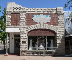 Bank of Sparkslisted 2007
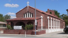 Immaculate Conception Churchlisted 1992
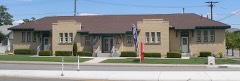 Mary Lee Nichols Schoollisted 2002
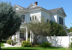 Robison Houselisted 2006
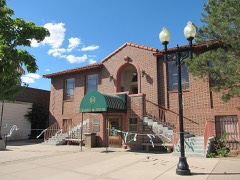 Washoe County Library-Sparks Branchlisted 1992
Population over time
2 figuresSparks grew from 90,264 to 108,445 between 2010 and 2020. These are the recorded population figures Wikidata holds for this place, reached through the Geographic Names Information System number this page is keyed on rather than by name, so they belong to this place and not to another of the same name. Most are census counts, but not all are: an early figure may be a founding or settlement estimate, and an estimate published within five years of a census is left out. The change column is computed, and is left blank where more than 20 years separate a figure from the one before it, because a gap that long is not a change between two counts.
| Year | People | Change |
|---|---|---|
| 2010 | 90,264 | |
| 2020 | 108,445 | +18,181 (+20%) |
Topographic sheets covering this place
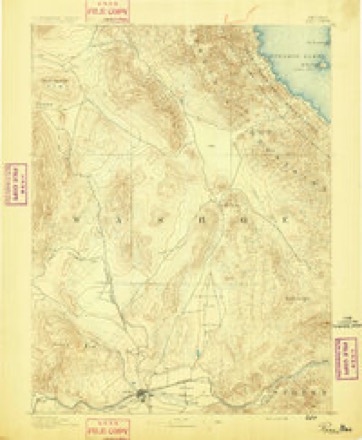
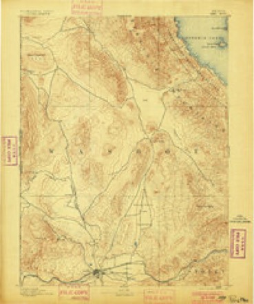
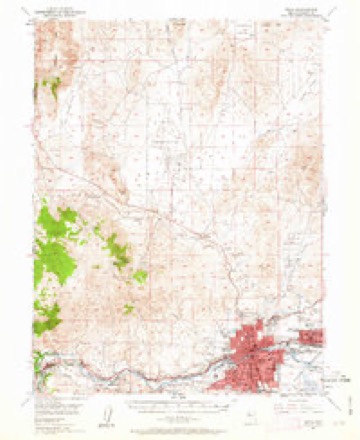
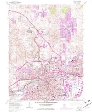
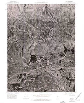
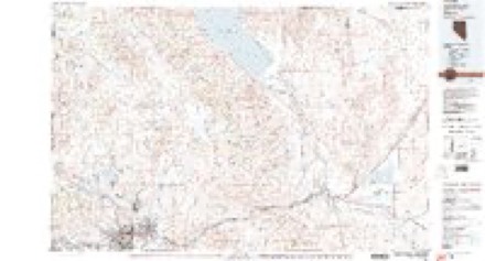
10 surveys from 29 printed sheetsMatched by testing this settlement's coordinate against the published boundary of every sheet in the United States Geological Survey's historical collection. Each opens the scanned sheet at the Survey.
- 1891 USGS Reno quadrangle1:125000
- 1893 USGS Reno quadrangle1:125000, 7 printings
- 1950 USGS Reno quadrangle1:62500, 3 printings
- 1951 USGS Reno quadrangle1:62500, 2 printings
- 1957 USGS Reno quadrangle1:250000, 5 printings
- 1959 USGS Reno quadrangle1:250000
- 1960 USGS Reno quadrangle1:250000, 2 printings
- 1967 USGS Reno quadrangle1:24000, 4 printings
- 1974 USGS Reno quadrangle1:24000
- 1980 USGS Reno quadrangle1:100000, 3 printings
Photographs
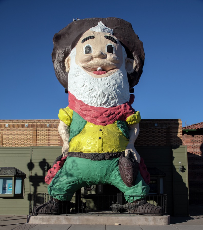
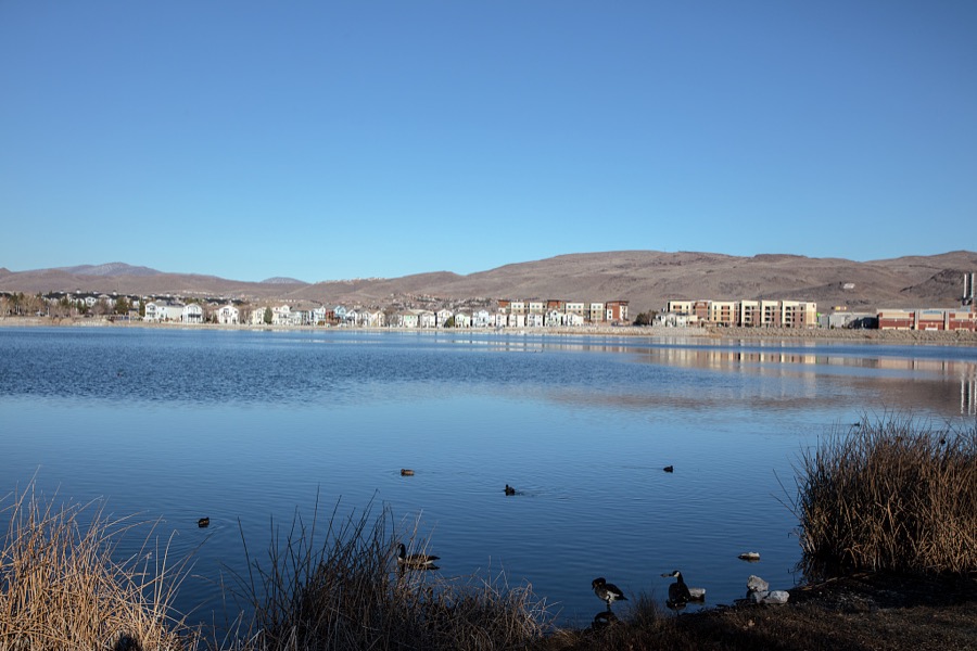
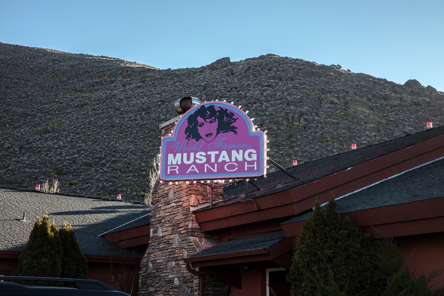
4 photographs, 2022Taken for the Office of War Information and the Farm Security Administration, who photographed the country between 1935 and 1944. Works of United States government photographers, with no known restriction on use. Each opens its catalogue record.
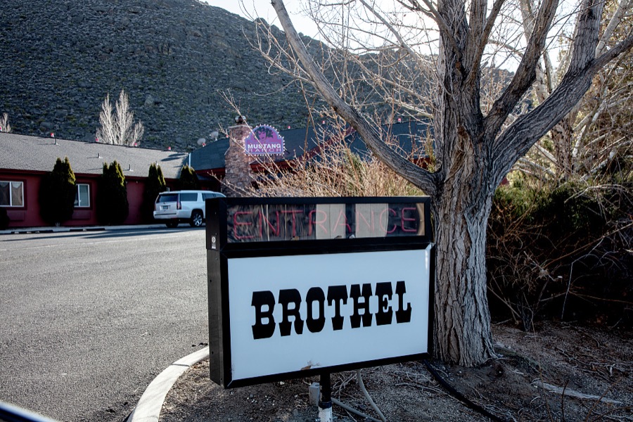
Highsmith, Carol M, 2022. Library of Congress
Highsmith, Carol M, 2022. Library of Congress
Highsmith, Carol M, 2022. Library of Congress
Highsmith, Carol M, 2022. Library of Congress
Fires near this place
91 since 1992Regional context, not property-specific evidence. The federal wildfire occurrence database lists 91 fires within 5 miles of Sparks between 1992 and 2020, burning about 20,262 acres in total. 10 started naturally. 7 were recorded as arson. Distance is straight-line from the map coordinates, so a fire counted here may appear on a neighbouring settlement's page as well.
| Reported cause | Fires |
|---|---|
| Missing data/not specified/undetermined | 41 |
| Natural | 10 |
| Equipment and vehicle use | 9 |
| Arson/incendiarism | 7 |
| Misuse of fire by a minor | 6 |
| Fireworks | 5 |
| Debris and open burning | 5 |
| Smoking | 4 |
| Other causes | 2 |
| Recreation and ceremony | 1 |
| Power generation/transmission/distribution | 1 |
The most recent of them, most recent first, with the day each was reported and the service that recorded it.
| Date | Cause | Size | Reported by | Name on the report |
|---|---|---|---|---|
| 9 September 2018 | Missing data/not specified/undetermined | 25 acres | Carson City District Office | RIO ALAYNE |
| 3 September 1997 | Natural | 379 acres | Carson City District Office | MUSTANG 2 |
| 27 September 2019 | Missing data/not specified/undetermined | 5.2 acres | Carson City District Office | MARTINI |
| 26 September 1999 | Missing data/not specified/undetermined | 5.0 acres | Carson City District Office | PARK |
| 23 September 2018 | Misuse of fire by a minor | 2.6 acres | Carson City District Office | ROCKY RIDGE |
| 21 September 1994 | Smoking | under an acre | Humboldt-Toiyabe National Forest | USFS 099 |
| 20 September 2009 | Misuse of fire by a minor | under an acre | Carson City District Office | HIGHWAY QUEEN |
| 17 September 2011 | Missing data/not specified/undetermined | 1.5 acres | Carson City District Office | RNOX 22 |
Settlements close enough to share some of these fires:
Mines and quarries near this place
10 of 15 shownRegional context, not property-specific evidence. The federal mineral resources record lists 15 workings within 5 miles of Sparks: 7 past producers, 4 occurrences, 2 producers, 1 prospect. 3 still produce. What was taken out: Sand and Gravel, Construction, Stone, Crushed/Broken, Gold, Silver, Silver. Distance is straight-line from the map coordinates, so a quarry counted here may appear on a neighbouring settlement's page as well.
| Where | Site | Commodity | Status | Recorded |
|---|---|---|---|---|
| (Facility) United States Platinum Refinery | REE, Uranium, Silver, Platinum, Gold | Plant | ||
| Arkell Mine | Silver, Gold, Antimony, Lead, Zinc | Past Producer | Anglesite, Argentite, Galena, Pyrite, Sphalerite | |
| Black Panther Mine Area | Titanium | Occurrence | ||
| Desert King Mine | Gold, Silver, Lead, Zinc, Antimony | Past Producer | Anglesite, Argentite, Galena, Pyrite, Sphalerite | |
| Reno Mizpah | Gold | Occurrence | Gold | |
| Truckee Canyon Deposit | Perlite | Occurrence | ||
| Wedekind Mine | Gold, Silver, Lead, Zinc, Antimony | Past Producer | Anglesite, Argentite, Galena, Pyrite, Sphalerite | |
| Wedekind Mine | Silver, Zinc, Lead, Gold, Copper | Past Producer | ||
| Arkell Mine | Silver | Prospect | ||
| Short Ranch Pit | Stone, Crushed/Broken | Past Producer |
Storms near this place
35 since 1998Regional context, not property-specific evidence. The National Weather Service names Sparks in 35 storm reports between 1998 and 2025: 8 hail, 7 thunderstorm wind, 6 flood, 6 heavy rain. The reports record 1 injury. Each account below is quoted exactly as the forecast office filed it, from the NOAA Storm Events Database, and each date opens the federal record of that event.
| When | Event | Place named | Harm | What the report says |
|---|---|---|---|---|
| August 1999 | Lightning | Sparks | 1 hurt | Man struck by lightning while trimming a tree |
| July 2019 | Heavy Rain | Sparks | $60,000 | KTVN Channel 2 News reported that the roof on Reed High School leaked during heavy rainfall from thunderstorms on the afternoon of 25 July. A nearby mesonet reported 0.21 inches of rainfall from 1703PST to 1803PST. According to Washoe County School District, three sections of the roof were being replaced at the time. All three sections leaked in multiple areas. Walls, ceilings, floors, and 36 computers were damaged by the rain water. Preliminary damage estimates were $40-60K according to the school district. |
| July 2025 | Flash Flood | Sparks | $20,000 | Nevada DOT Reno reported flooding on Rock Blvd which prompted the closure of the road near I-80. |
| July 2005 | Flash Flood | Sparks | $5,000 | Heavy rainfall caused flash flooding in the Spanish Springs area of Sparks. A total of 1.19 inches of rain was recorded at the weather observing station at Spanish Springs High School during a period of 30 to 40 minutes. Muddy water and small rocks flowed down streets above Vista Blvd. in Sparks. |
| July 2005 | Thunderstorm Wind | Sparks | $3,000 | Straight-line winds from a thunderstorm downburst caused damage along Pyramid Highway north of Sparks. Roofing tiles and metal siding was damaged on a house. Shingles were also blown off of another house. |
| July 2005 | Thunderstorm Wind | Sparks | $3,000 | Strong winds estimated at around 55 kt (63 mph) knocked over small trees and broke tree limbs near Vista Blvd. in Sparks. A stop sign was also reportedly blown over. |
| June 2006 | Thunderstorm Wind | Sparks | $1,000 | A wind gust estimated at 39 kt (45 mph) caused damage near Los Altos Parkway in Sparks. The Reno Gazette-Journal reported that a few fences were knocked down by the strong winds. One homeowner had six feet of wood fence destroyed, along with two screen-glass doors that were shattered. |
| August 1999 | Thunderstorm Wind | Sparks | $500 | A 14" tree branch was blown onto a car, minor damage reported. |
| August 2025 | Flash Flood | Sparks | - | Minor debris and roadway flooding on South Rock Blvd along both directions near Hymer Ave in Sparks. Additional flooding was reported throughout the city of Sparks, with rainfall estimations up to 1.15 inches. |
| July 2024 | Flood | Sparks | - | Law enforcement reported 0.25 mi SW of Sparks, NV, of ponding water over the roadway causing a portion of Rock Blvd to be temporarily closed. |
| July 2024 | Heavy Rain | Sparks | - | A mesonet station NSPA (DRI) located 2.8 mi S of Sparks, NV, reported a total rainfall amount of 0.54 inches. |
| June 2021 | Flood | Sparks | - | Urban flooding of typical flood prone spots. |
| June 2021 | Flood | Sparks | - | Training thunderstorms produced heavy rainfall over Spanish Springs, particularly near Pyramid and La Posada. Standing water on many roads and field access impossible. Washoe Alert gauge reported 1.69 inches in 3 hours and that station was not in the core of the storms. |
| December 2021 | Flood | Sparks | - | NDOT closed I-80 and Rock Blvd underpass due to minor flooding. |
| December 2018 | Heavy Rain | Sparks | - | CO-OP observer SRKN2 in Sparks reported 0.75 inches of rainfall in a 24-hour period from 24 December 0700PST to 25 December 0700PST. |
| March 2018 | Heavy Rain | Sparks | - | CoCoRaHS station NV-WH-87, 1 mile north-northeast of Sparks reported 1.00 inch of storm total rainfall from 20 March 0535PST to 23 March 0535PST. |
| May 2018 | Heavy Rain | Sparks | - | Mesonet C3920, 2 miles north-northeast of Sparks (elevation 4596 feet) reported 0.27 inches of rainfall within 15 minutes from 19 May 1633PST to 1648PST and 0.55 inches of rainfall within an hour from 19 May 1618PST to 1718PST. |
| May 2018 | Heavy Rain | Sparks | - | CoCoRaHS station NV-WH-147, 6 miles south-southwest of Sparks reported 0.61 inches of rainfall in a 24-hour period from 24 May 0600PST to 25 May 0600PST. |
| July 2015 | Thunderstorm Wind | Sparks | - | KRNV News 4 posted a picture of a 70 foot tree which fell onto a house in Sparks. |
| May 2009 | Hail | Sparks | - | A trained weather spotter reported three-quarter-inch hail between Sun Valley and Sparks. |
| July 2006 | Hail | Sparks | - | Nickel size hail (0.88 inch) was reported by an amateur radio operator in Spanish Springs. |
| July 2005 | Thunderstorm Wind | Sparks | - | A 53 kt (61 mph) wind gust was reported at the wind sensor at Spanish Springs High School north of Sparks. |
| July 2005 | Thunderstorm Wind | Sparks | - | A 53 kt (61 mph) wind gust was reported at the Desert Springs RAWS sensor. |
| June 2005 | Flash Flood | Sparks | - | A flash flood in the Sparks and Spanish Springs area was caused by very heavy rainfall. In a period of two hours 1.57 inches of rain fell in Sparks, causing flash flooding on Sparks Blvd. and at the intersection of Springland Drive and Baring Blvd. in Sparks. |
| July 2004 | Hail | Sparks | - | Golfball-sized hail was reported in Palomino Valley, north of Reno. |
| August 2002 | Tornado (F0) | Sparks | - | tornado in Spanish Springs |
| February 2000 | Tornado (F0) | Sparks | - | Pilot and public reported a small tornado located 5 miles north of Sparks in Spanish Springs Valley. No injuries were reported and only minor property damage, the amount of which is unknown. |
| July 1999 | Tornado (F0) | Sparks | - | Small tornado observed by off-duty NWS meteorologist in the hills east of Sparks. The tornado was on ground for approximately 2 minutes. Tornado remained over unpopulated area causing no damage. Path length and width are estimated. |
| July 1999 | Flood | Sparks | - | Off-duty NWS hydrologist reported heavy rain from thunderstorms caused street flooding in Sparks with water rising over bumpers on cars and up to businesses along the streets. Several streets temporarily closed. No damage or injuries reported. |
| September 1998 | Flood | Sparks | - | 30 minute rainfall resulting in 8 inches of water flowing through Sparks Rib Cook-Off booths along Pyramid Way and Victorian Square. Minor flooding also reported along Rock Blvd, also in Sparks. |
| July 2005 | Hail | Sparks | - | no account filed |
| July 2005 | Hail | Sparks | - | no account filed |
| July 2001 | Hail | Sparks | - | no account filed |
| July 2001 | Hail | Sparks | - | no account filed |
| July 2001 | Hail | Sparks | - | no account filed |
Nearest settlements
The eight closest, with where each one stands in the county. Distances are straight-line, computed from the Geographic Names Information System coordinates.
| Map | Place | Distance | Sheets |
|---|---|---|---|
| Glendale | 1.2 miles | 28 | |
| North Valley | 2.7 miles | 29 | |
| Vista | 2.8 miles | 28 | |
| Wedekind | 3.2 miles | 28 | |
| Reno | 3.3 miles | 29 | |
| Hidden Valley | 3.5 miles | 32 | |
| Sun Valley | 4.4 miles | 29 | |
| Andersons (historical) | 5.1 miles | 31 |
Elsewhere
Matched on this settlement's Geographic Names Information System number rather than its name, so it cannot be a different place of the same name in another state.
| Wikipedia article on Sparks | An encyclopaedic summary. Its text is share-alike, so it is linked here rather than copied. |
| Wikidata item Q211629 | The structured record the population and elevation above come from. Public domain (CC0). |
Provenance
This settlement is recorded in the Geographic Names Information System as feature 856391. The sheet list is computed by point-in-boundary test against the United States Geological Survey's historical topographic inventory. Both are works of the United States government and carry no copyright under 17 U.S.C. 105.
Wildfire. Short, Karen C. 2022. Spatial wildfire occurrence data for the United States, 1992-2020 [FPA_FOD_20221014]. 6th Edition. Fort Collins, CO: Forest Service Research Data Archive. https://doi.org/10.2737/RDS-2013-0009.6 Collected with United States Government funding and usable without additional permissions or fees.
Mines and quarries. USGS Mineral Resources Data System (MRDS) https://mrdata.usgs.gov/mrds/ A work of the United States government, no copyright under 17 U.S.C. 105.
Storms. NOAA National Centers for Environmental Information, Storm Events Database https://www.ncei.noaa.gov/stormevents/ A work of the United States government, no copyright under 17 U.S.C. 105. Narratives are quoted verbatim from the National Weather Service report and are not edited or summarised.