Block
From the record
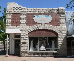
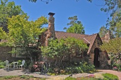
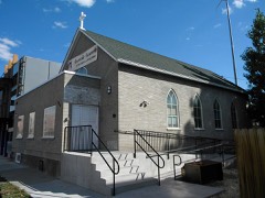
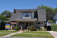
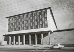
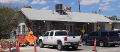
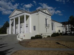
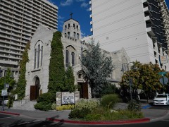
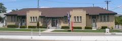
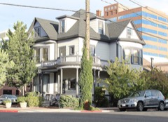
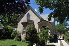
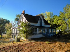
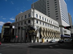
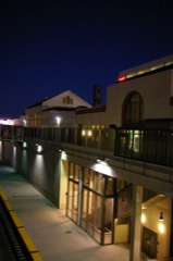
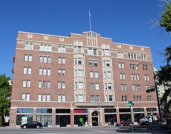
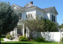
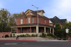
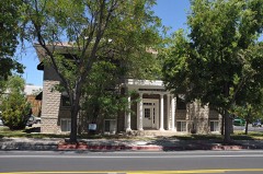
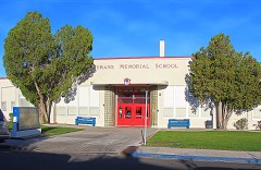
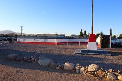
83 National Register listings published here.
Sources: the county history on the Internet Archive · the National Register database, National Park Service
237 topographic sheets and 18 fire insurance atlases across 4 places.
83 National Register listings published here.
Sources: the county history on the Internet Archive · the National Register database, National Park Service
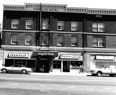
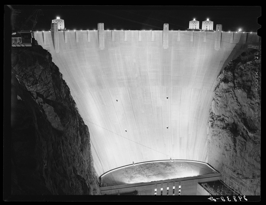
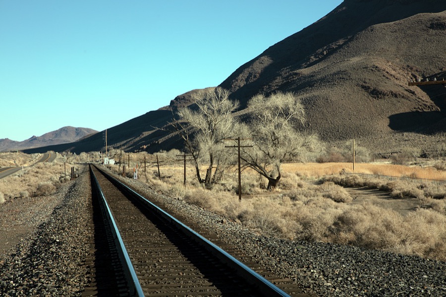
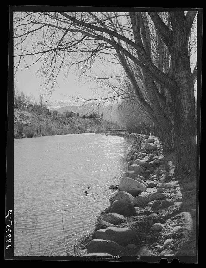
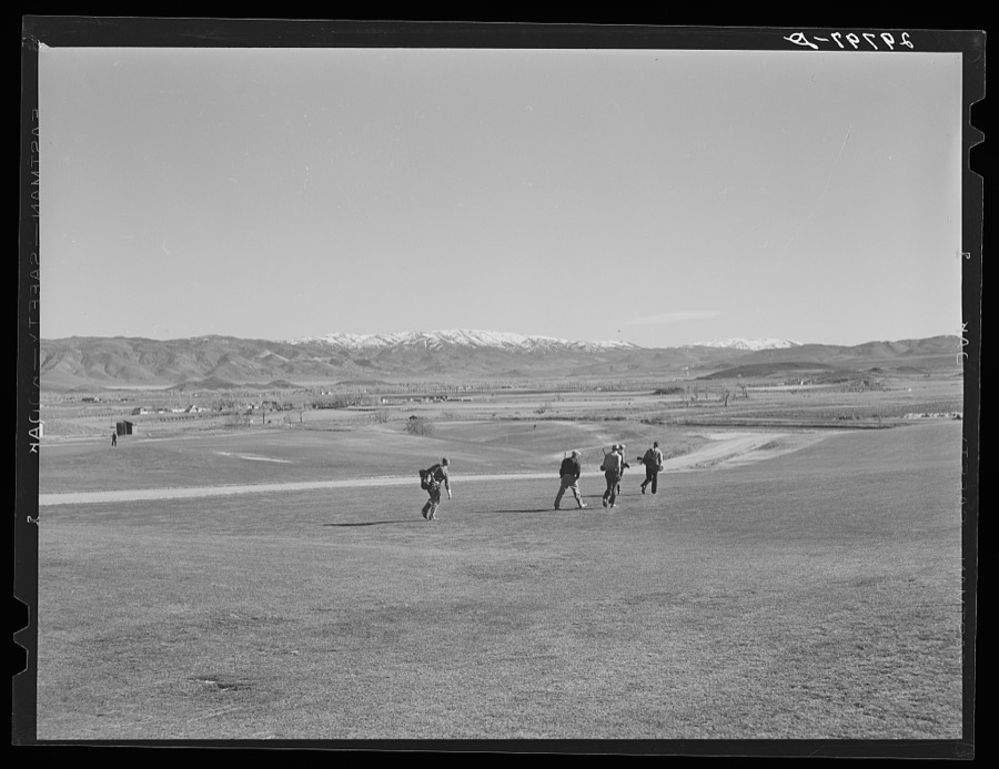
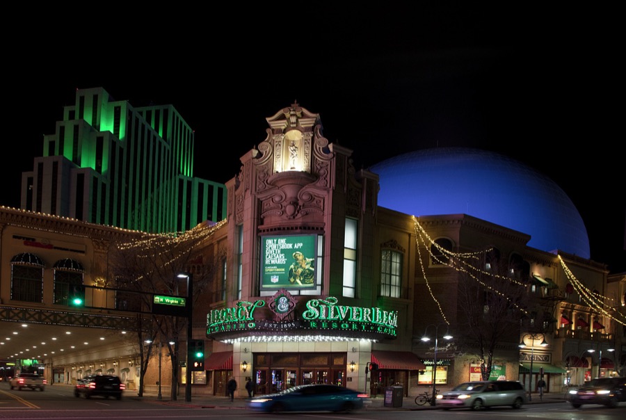
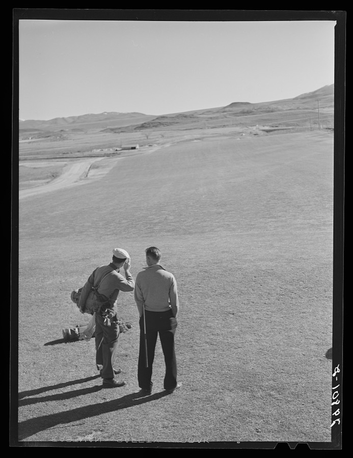
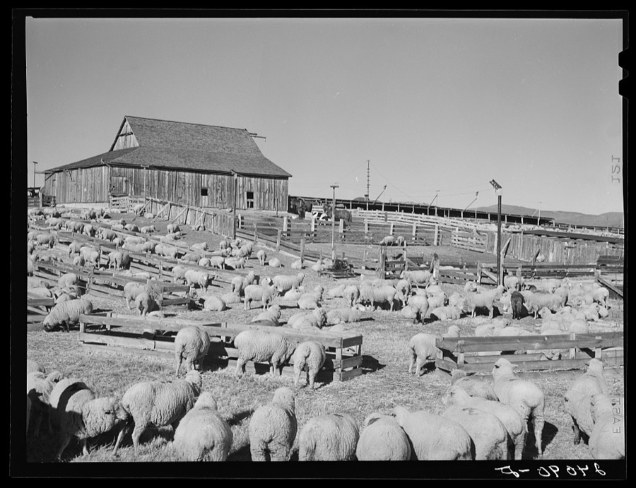
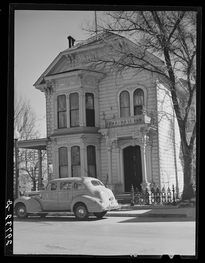
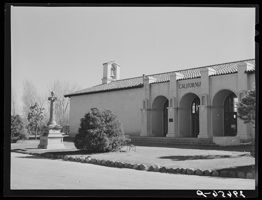
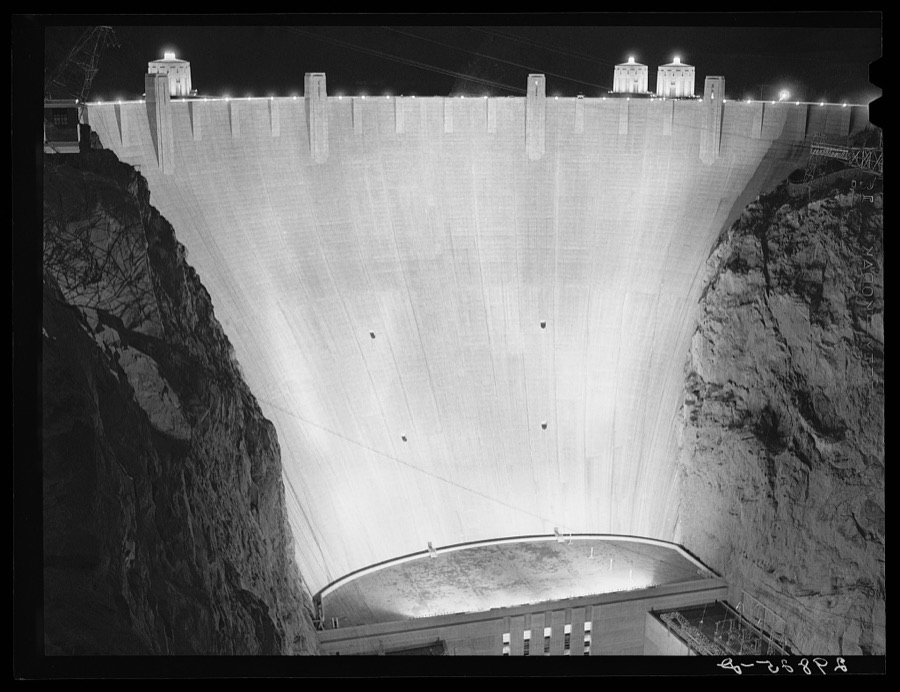
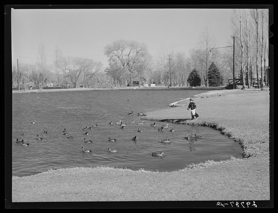
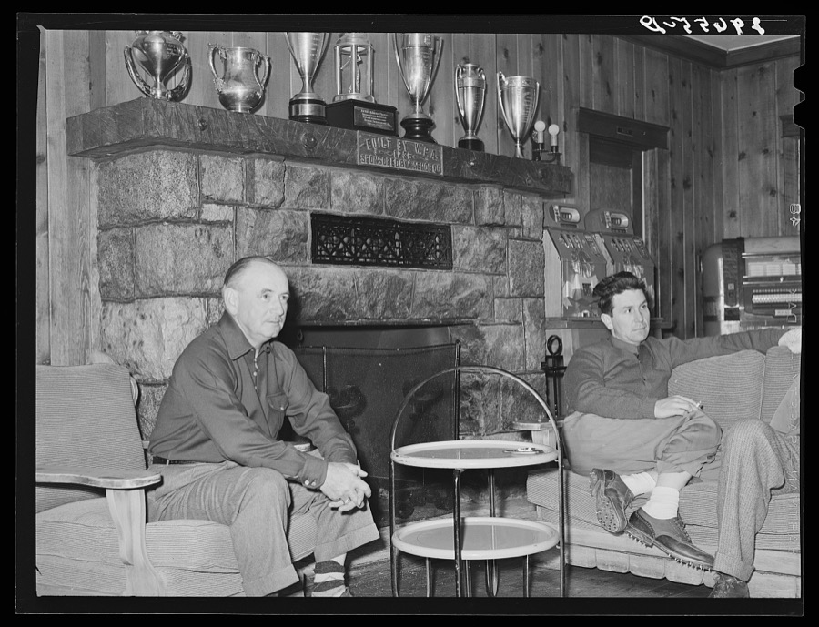
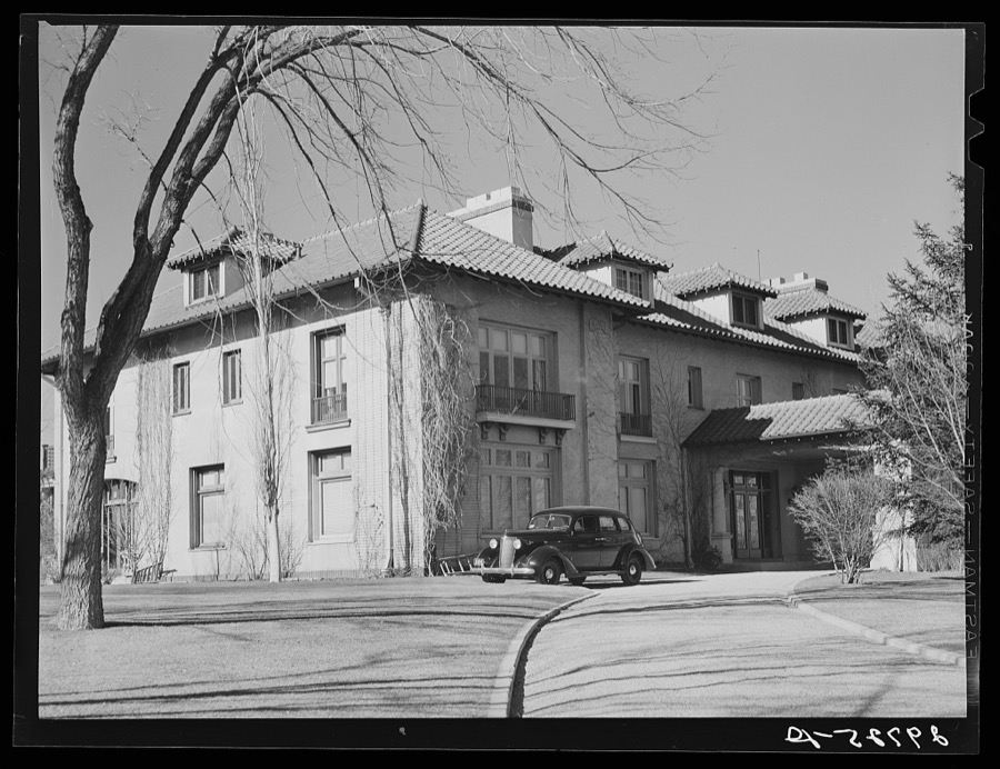
Taken for the Office of War Information and the Farm Security Administration, who photographed the country between 1935 and 1944. Works of United States government photographers, with no known restriction on use. Each opens its catalogue record.
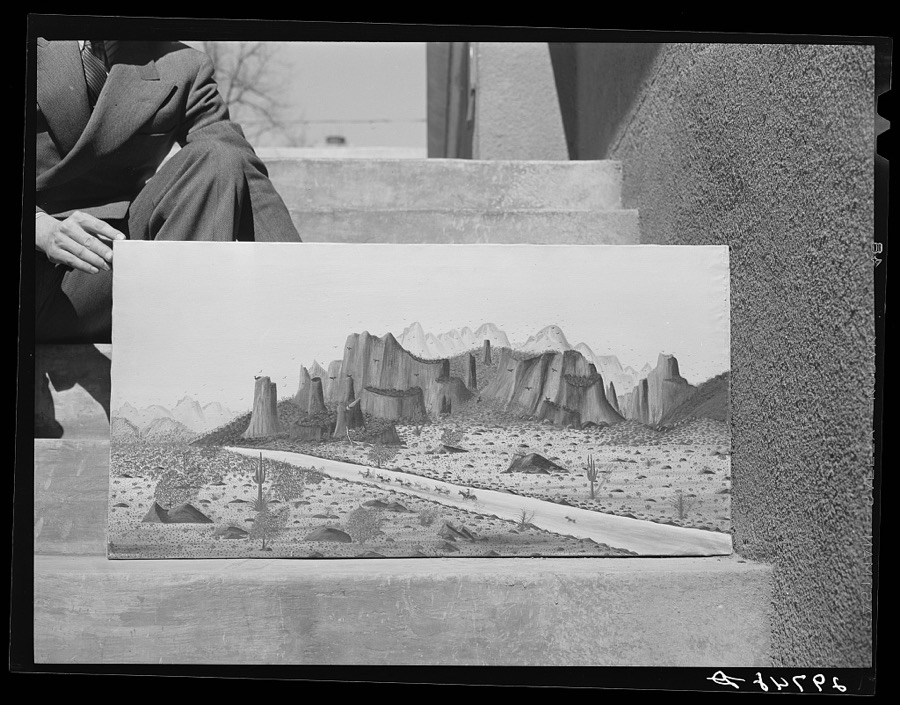
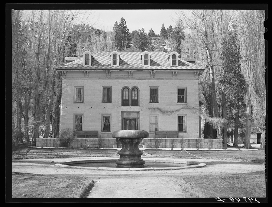
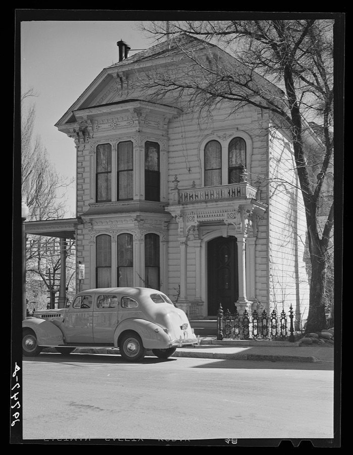
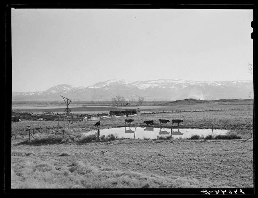
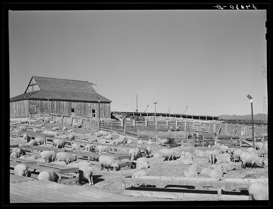
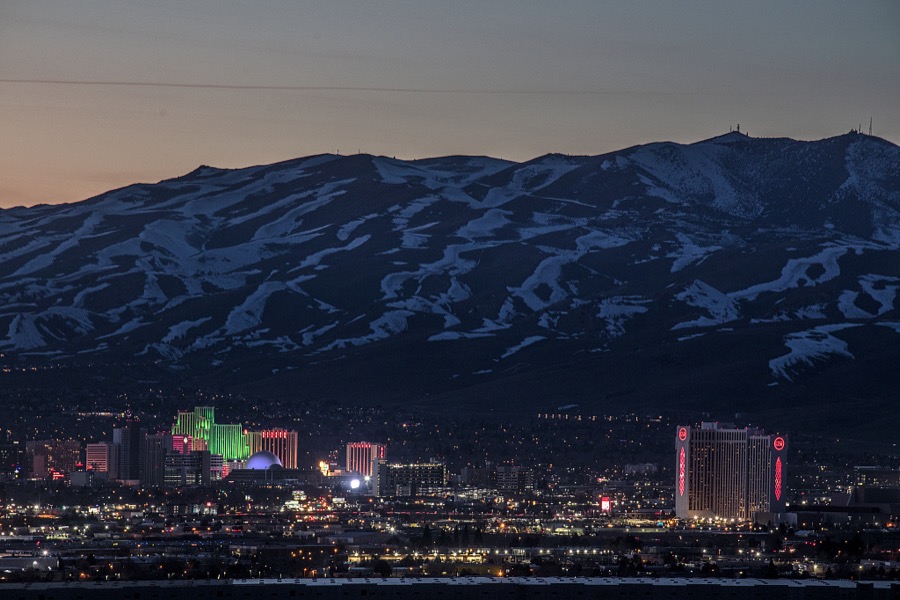
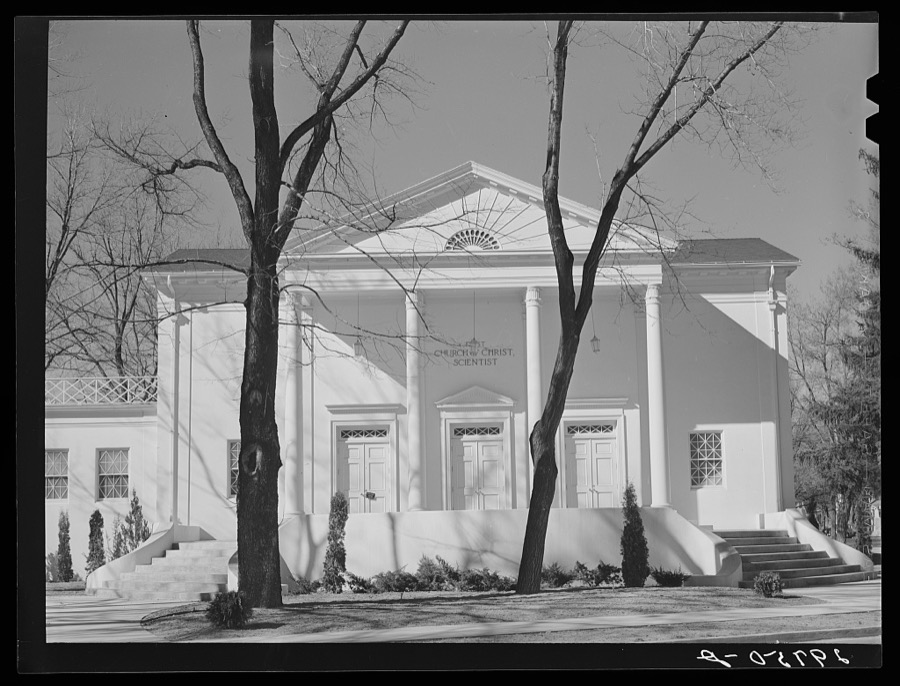
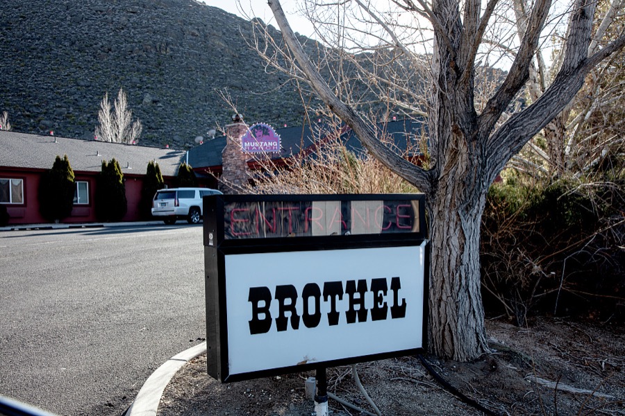
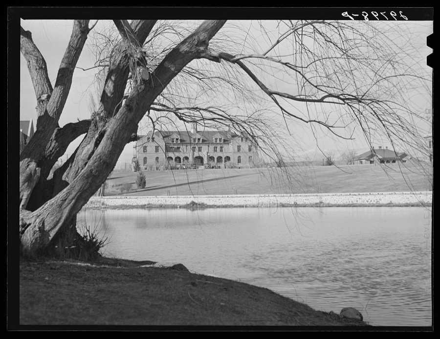
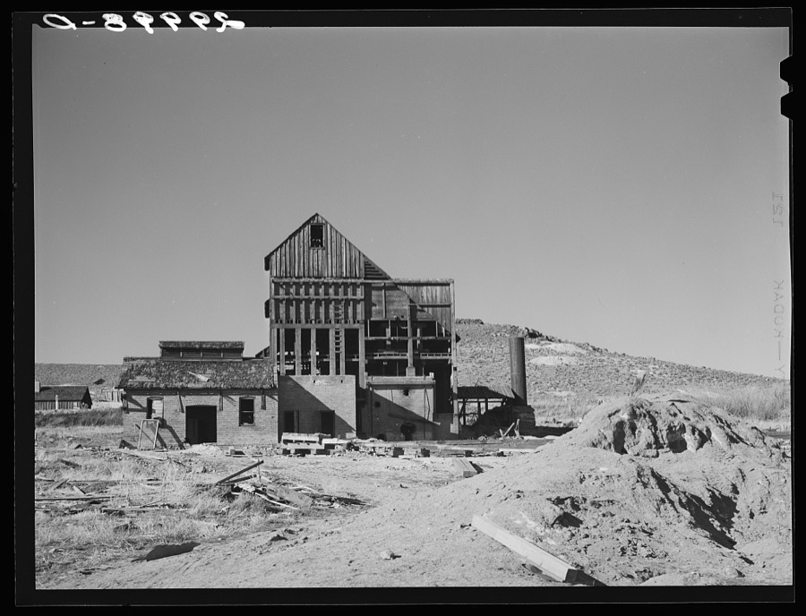
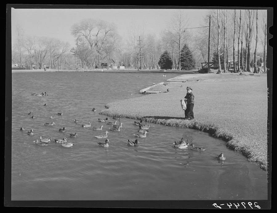
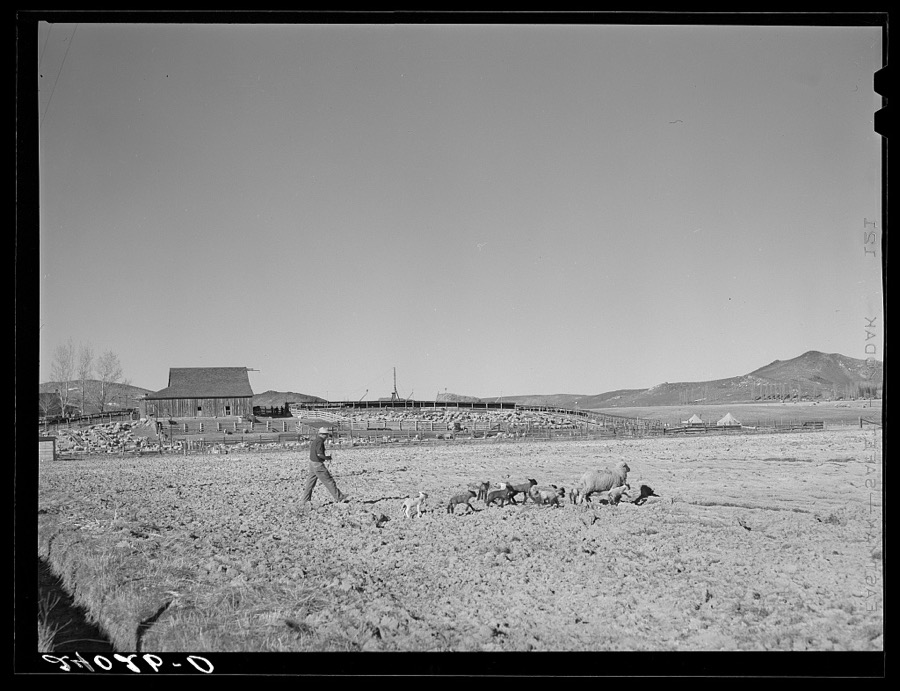
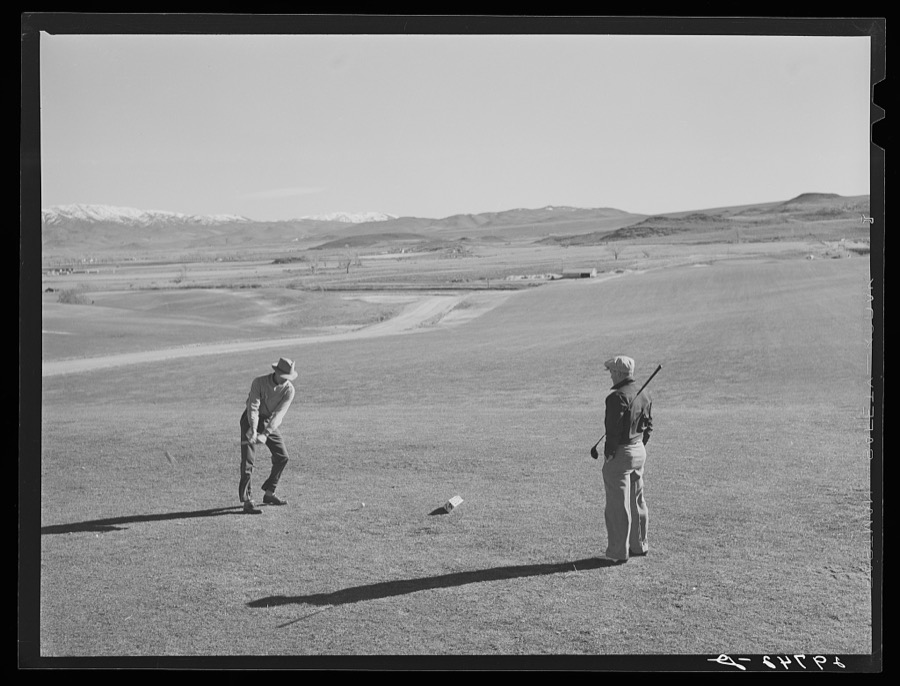
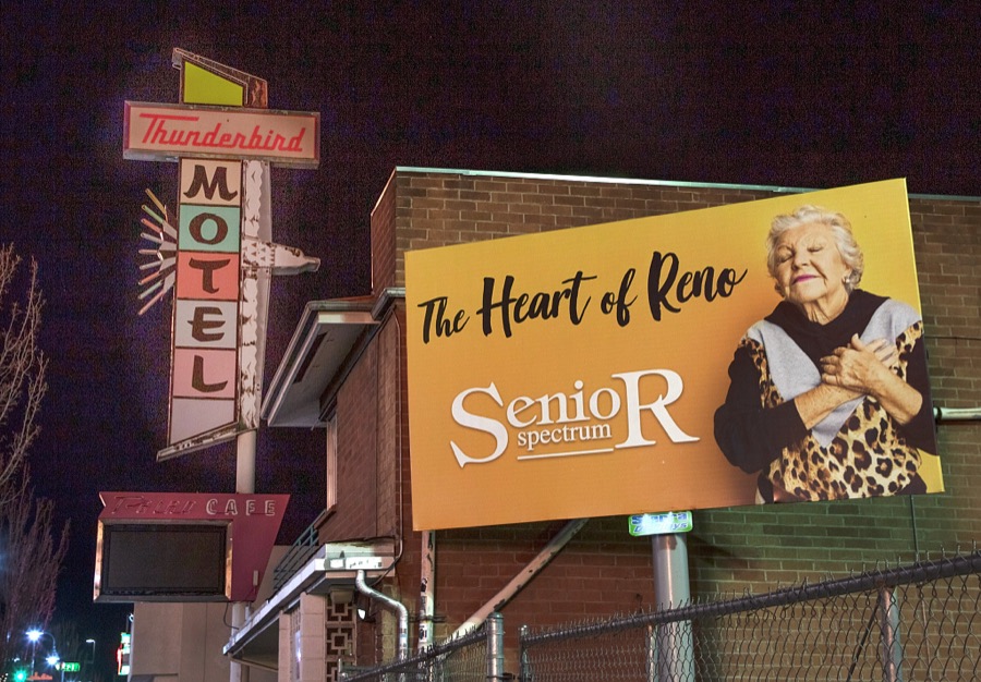
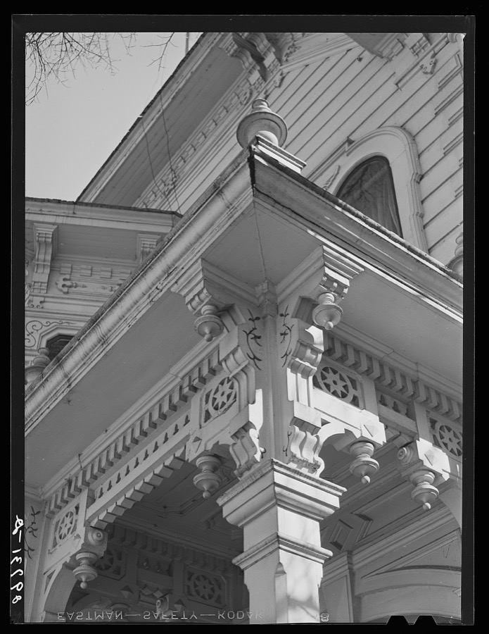


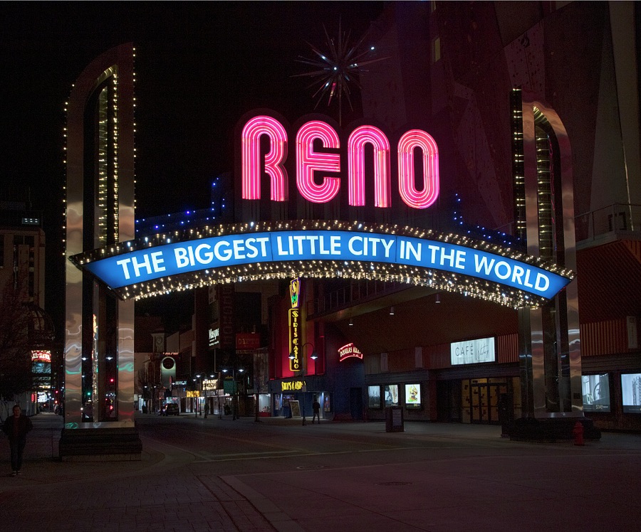
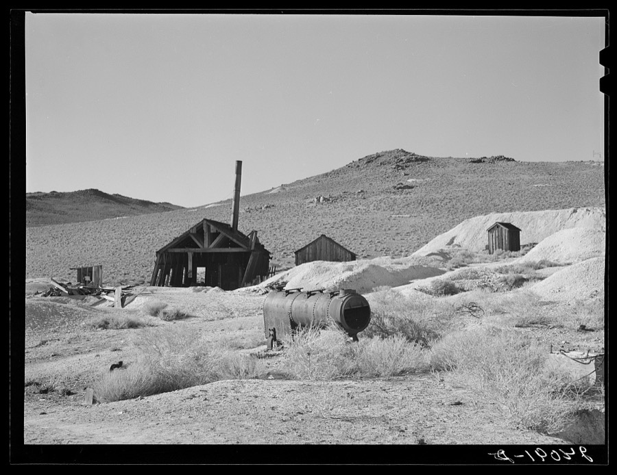
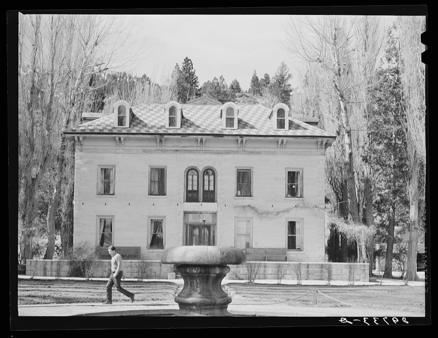
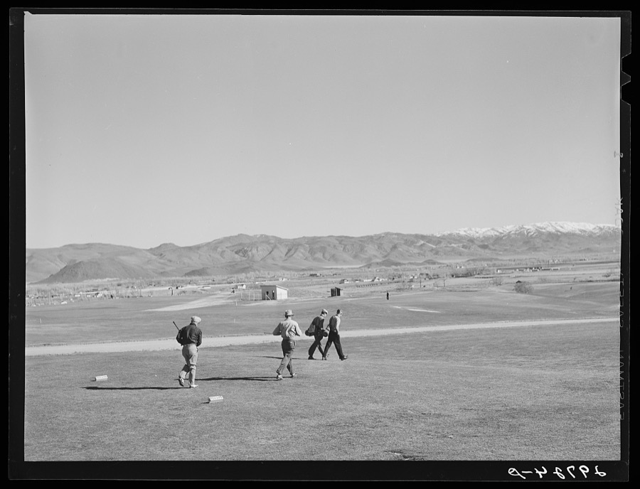
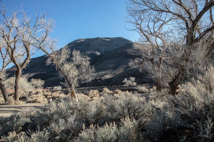
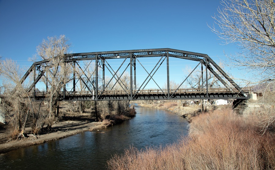
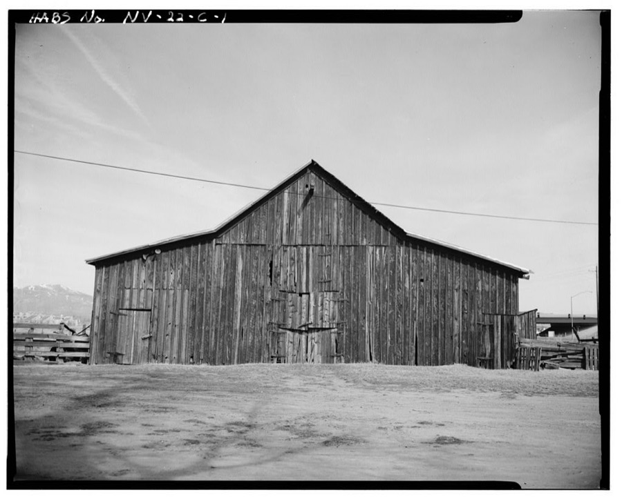
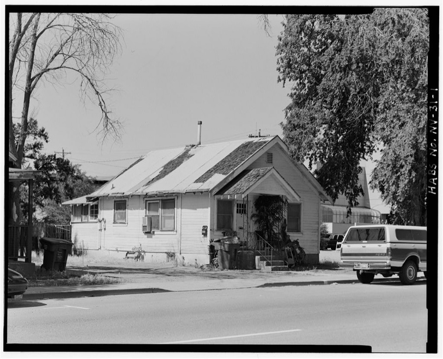
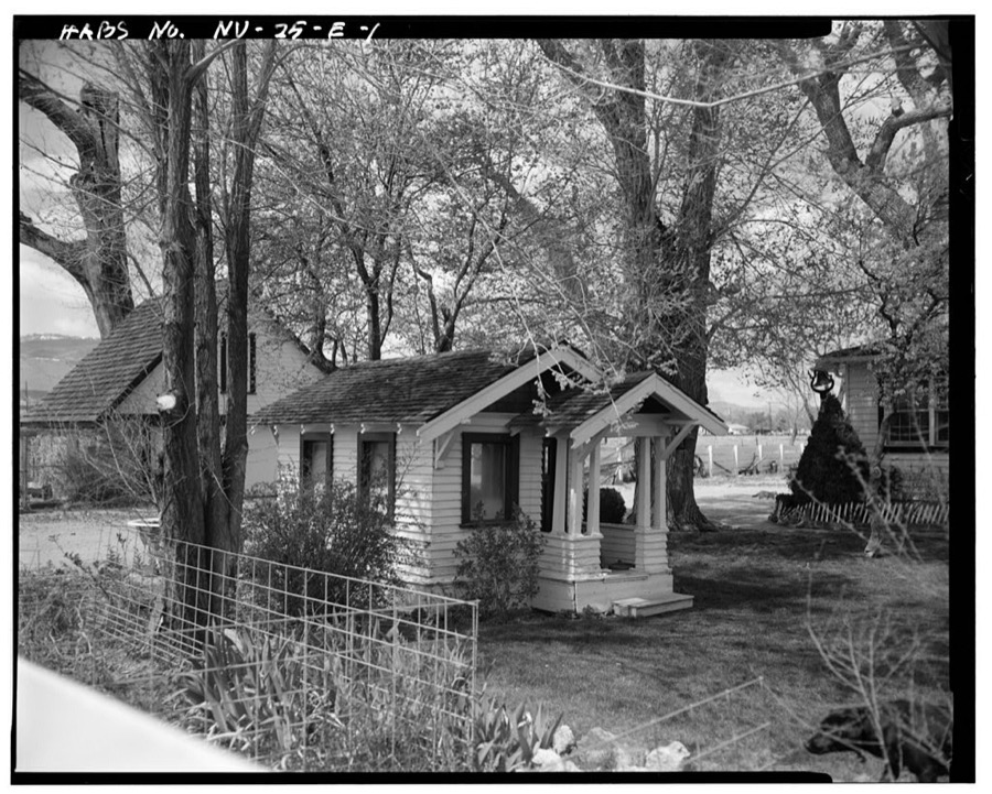
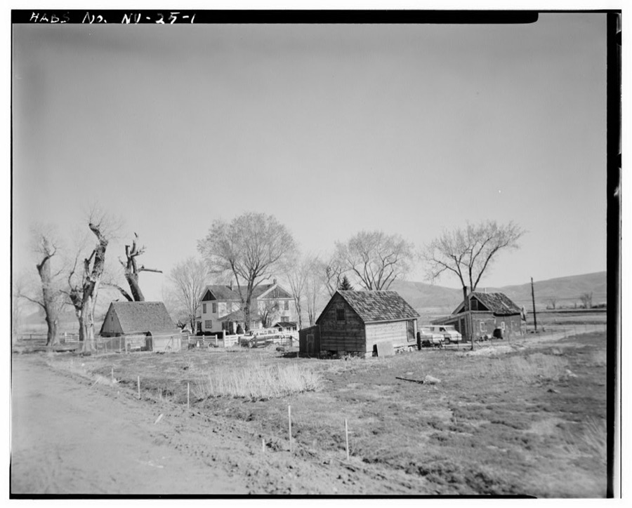
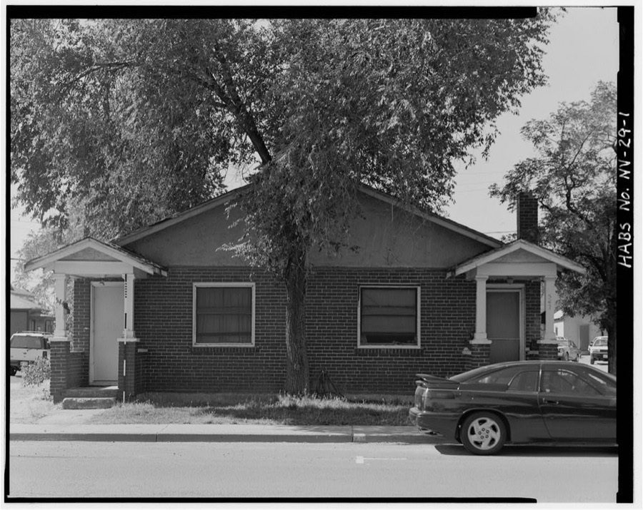
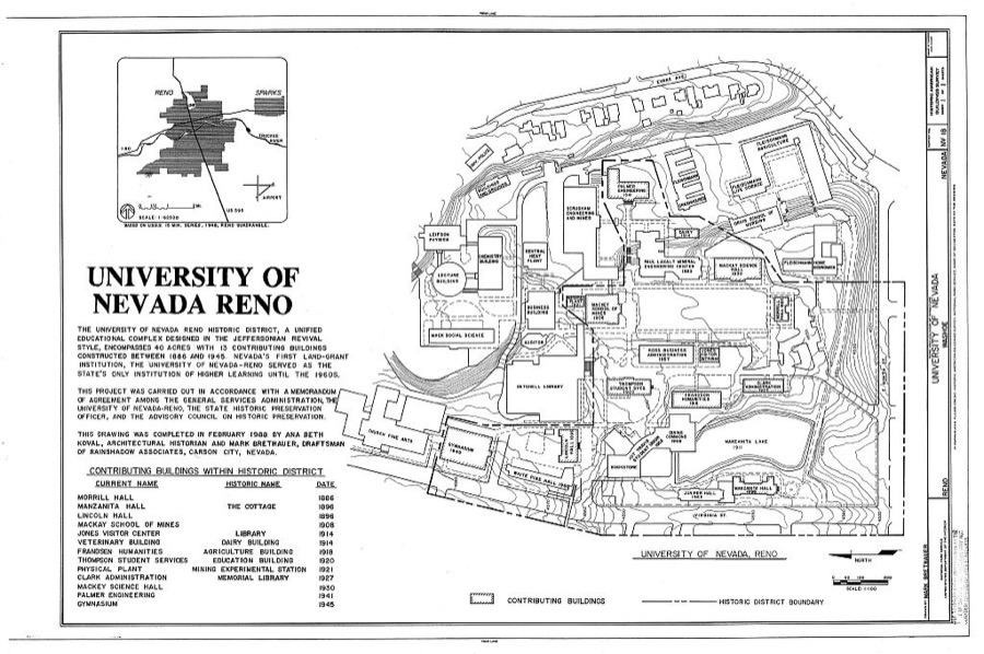
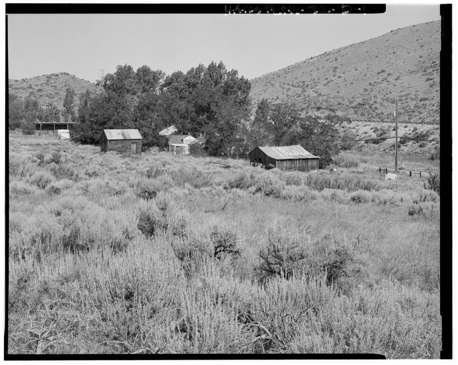
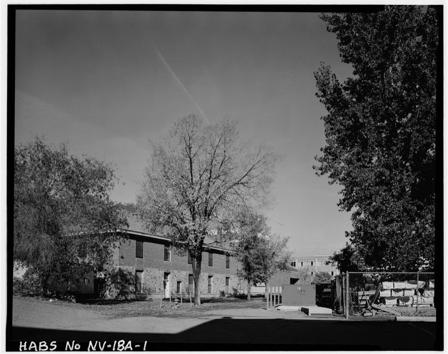
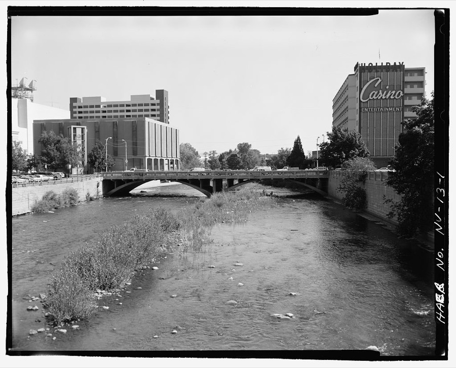
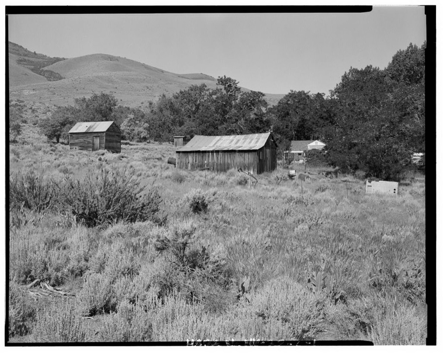
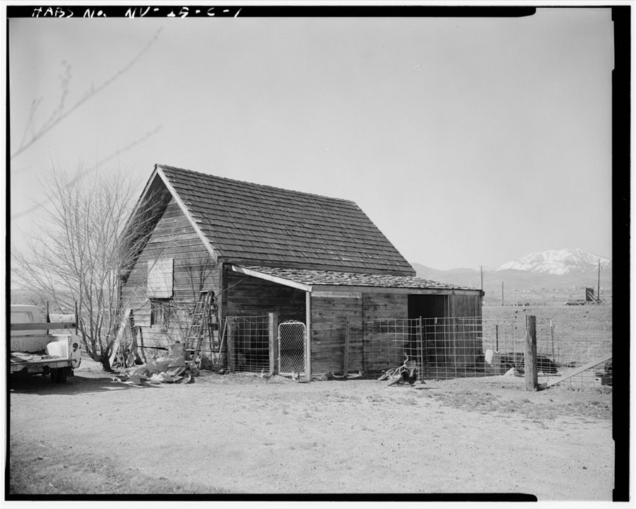
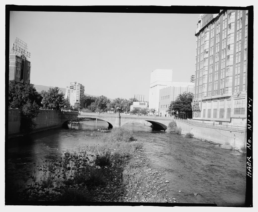
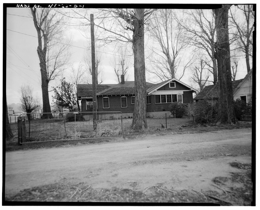
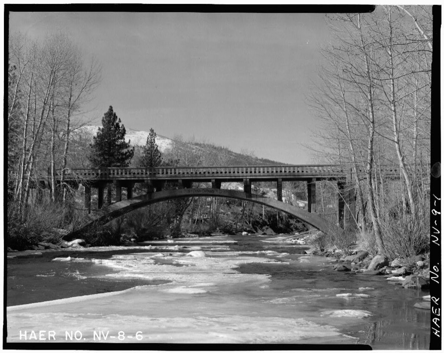
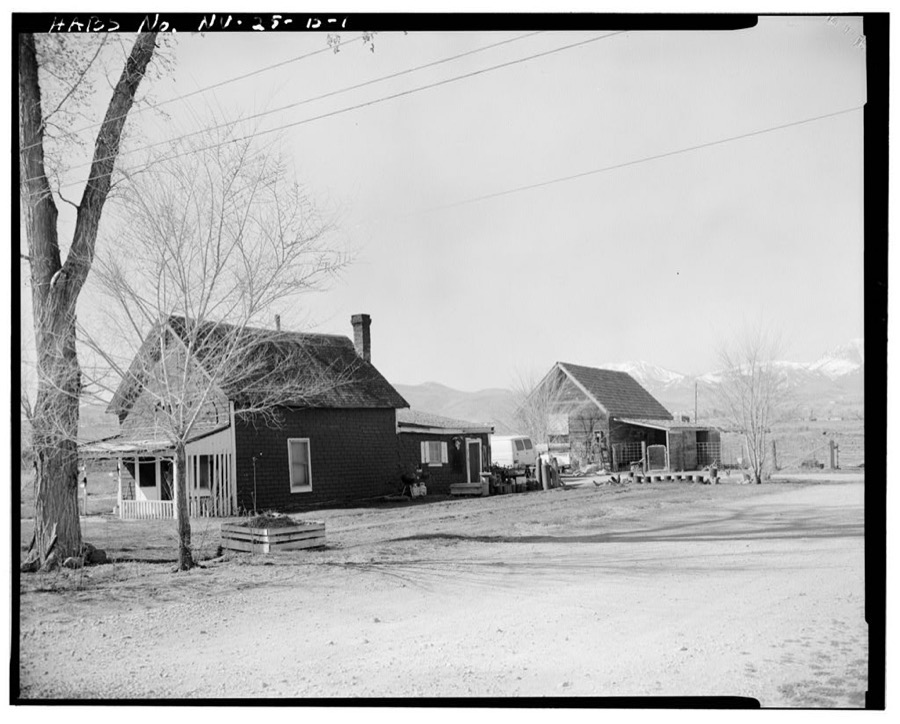
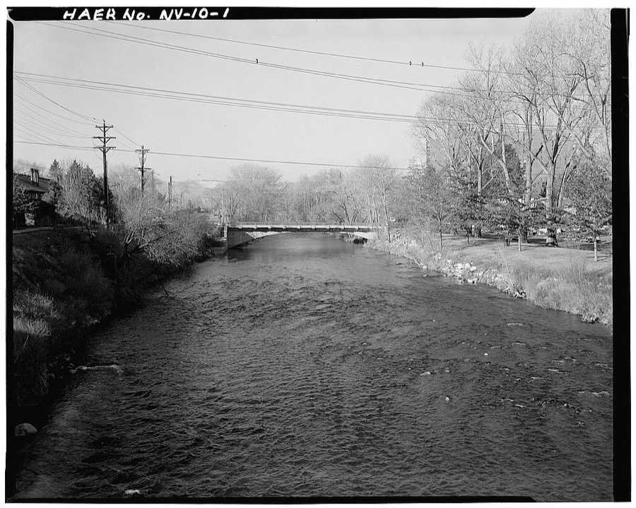
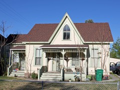
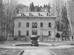
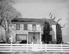
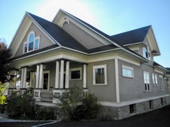
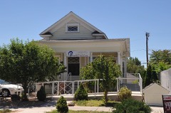
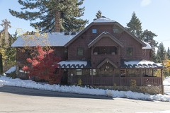
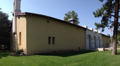
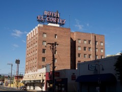
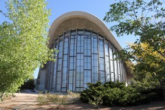
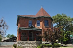
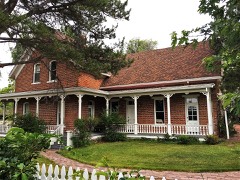
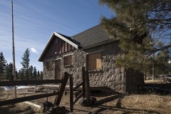
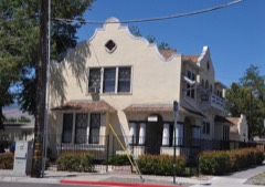
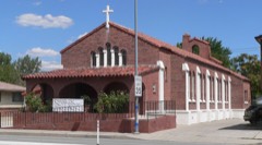
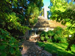
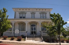
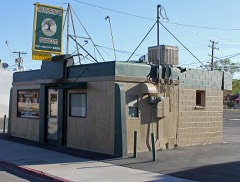
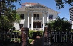
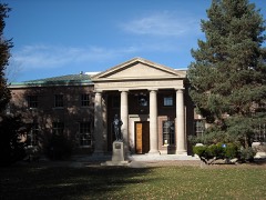
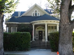
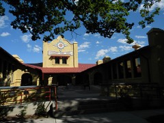
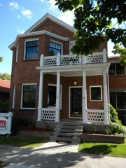
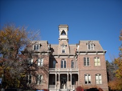
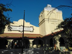
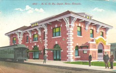
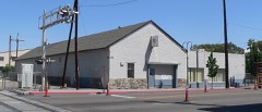
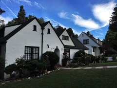
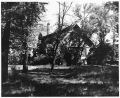
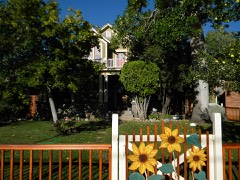
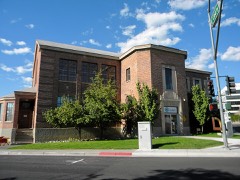
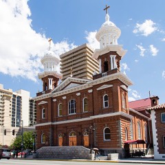
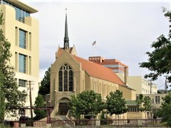
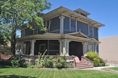
Every property in this county listed on the National Register of Historic Places, with the year it was listed and the federal nomination document.
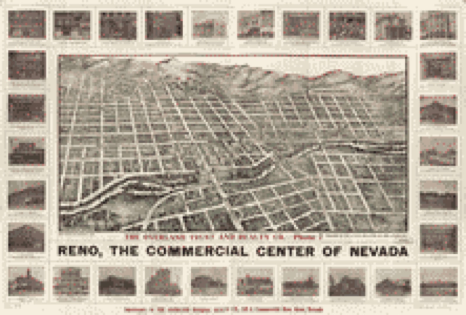
Drawn when these were printed as single large sheets: the town seen from the air, and the county divided into its farms with every owner named. Each opens the original at the Library of Congress.
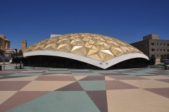
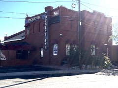
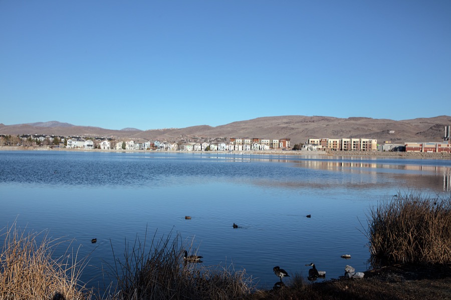
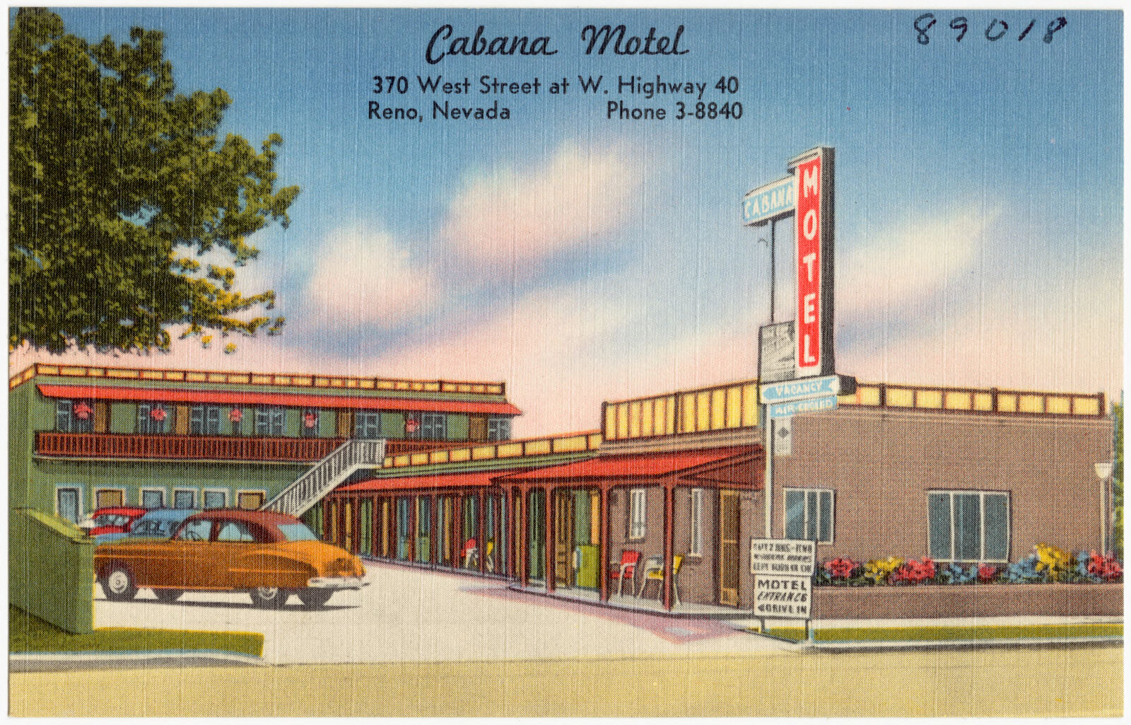
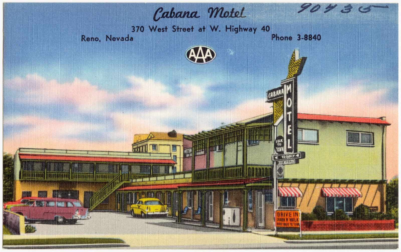
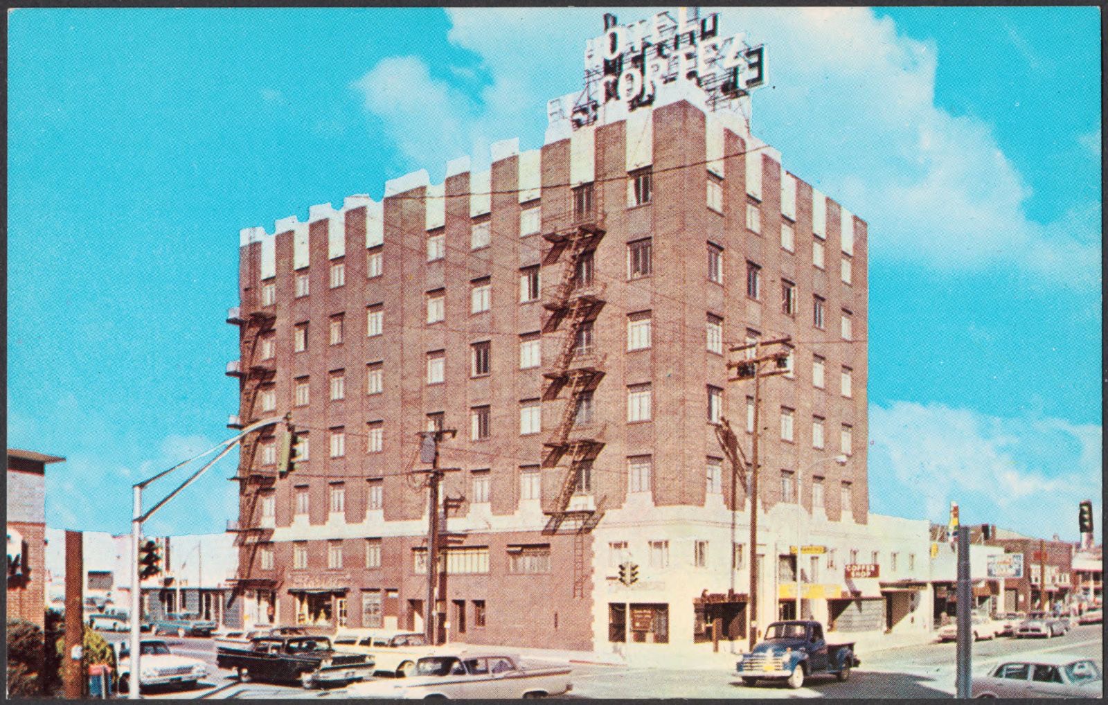
Selected from the Digital Public Library of America's 47 image records catalogued for this county. Every one shown here carries a public-domain status or a licence that permits reuse on a site that carries advertising; non-commercial, share-alike and restricted images are excluded. The selection is spread across the county's towns (at most eight per town), so no single institution's bulk upload crowds out the rest. Each opens the holding library's record, and the complete set at the Digital Public Library of America is one click away.
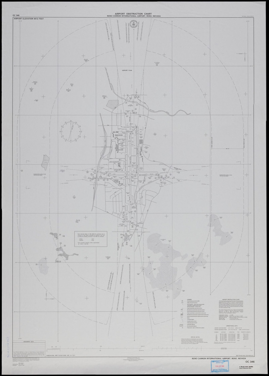
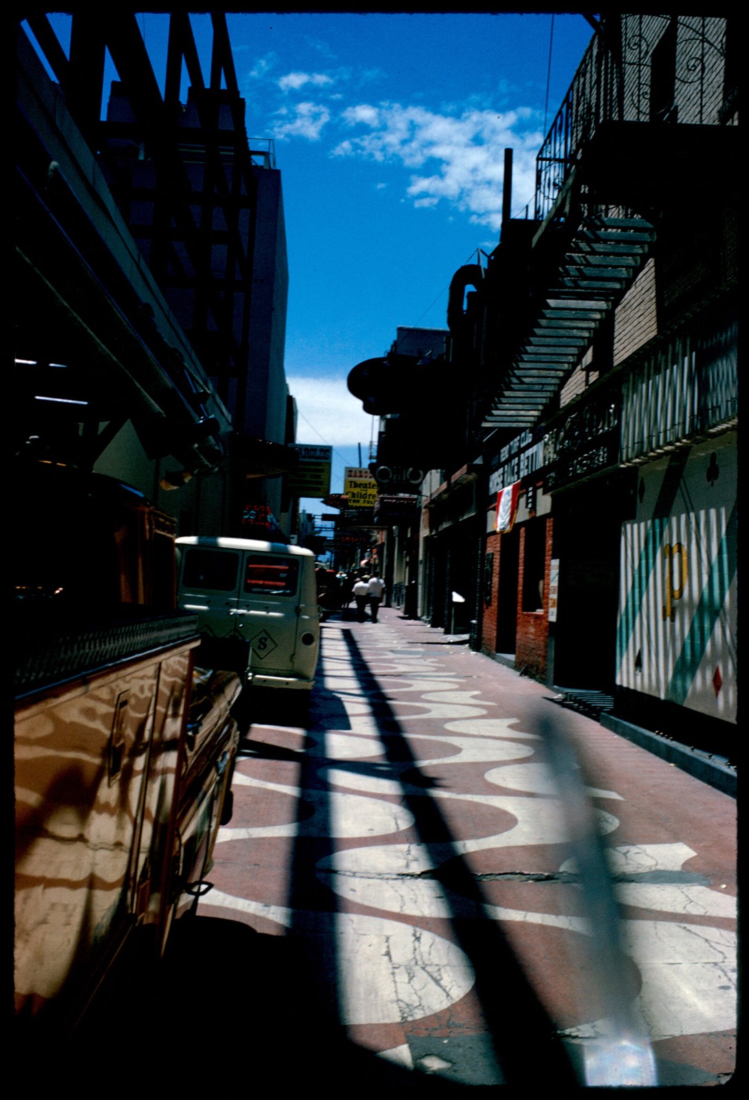
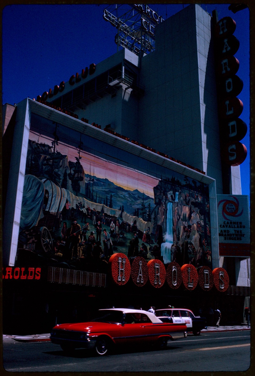
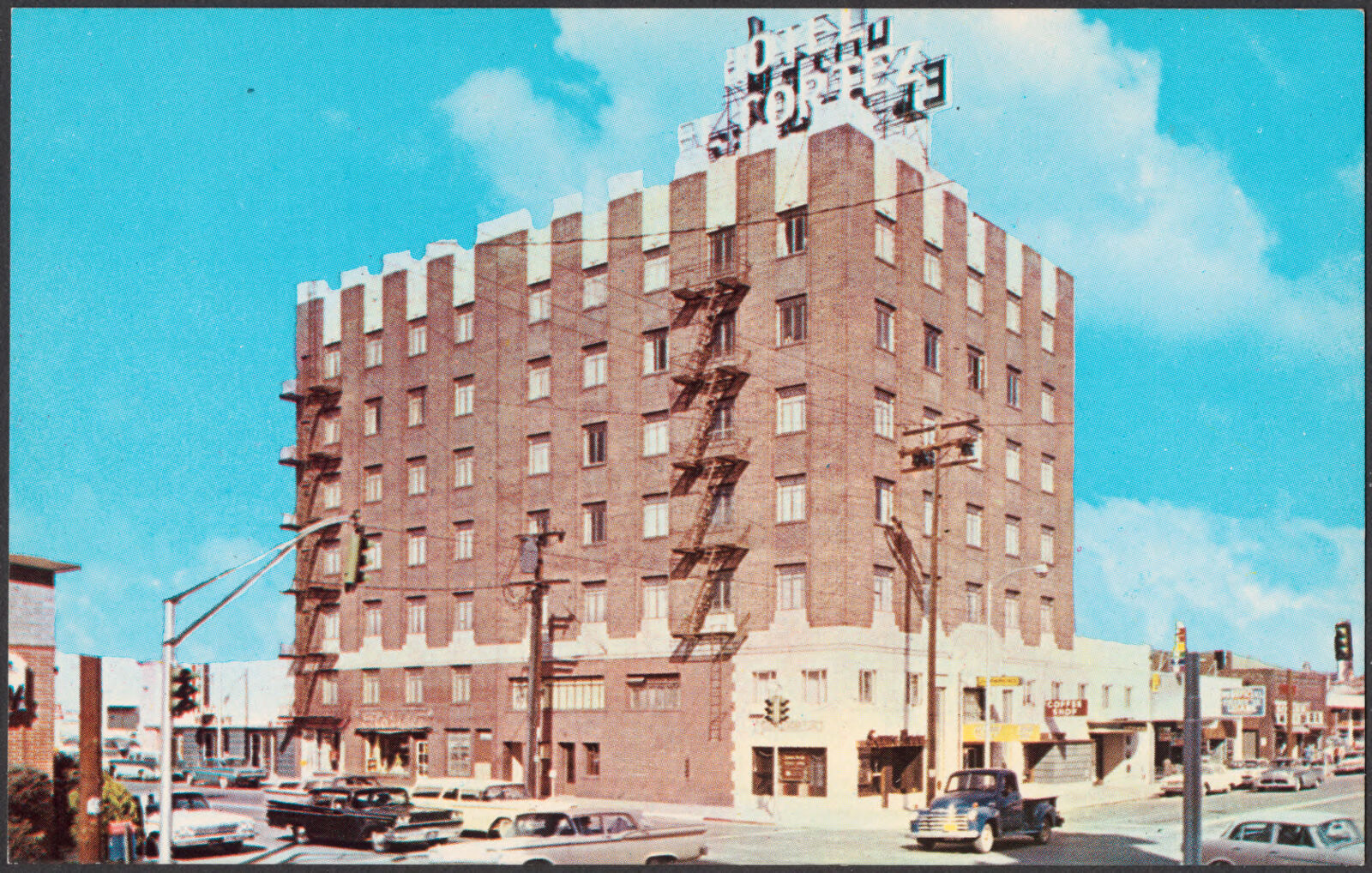
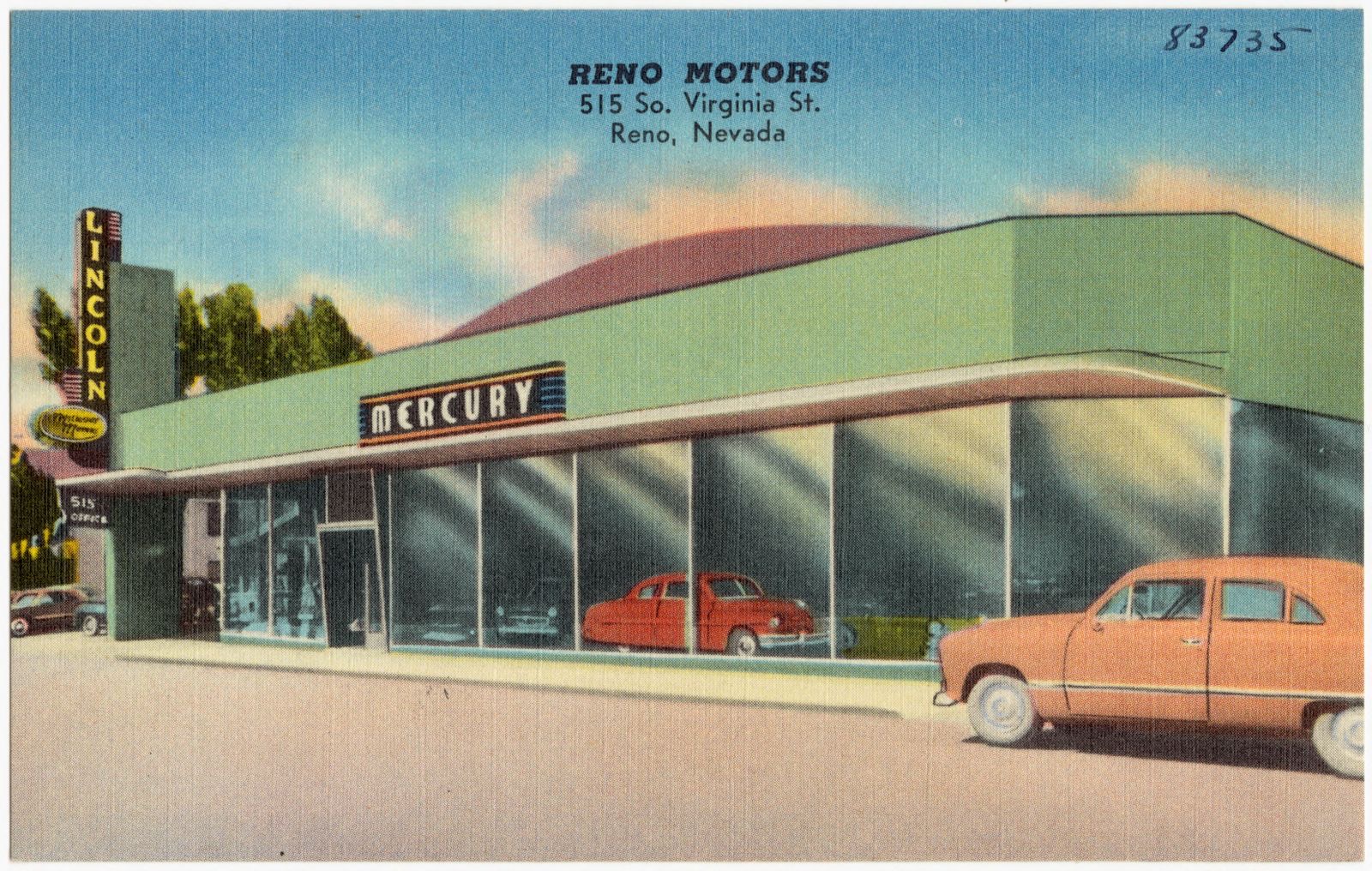
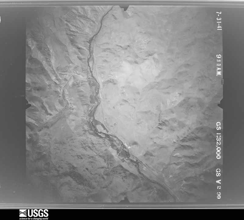
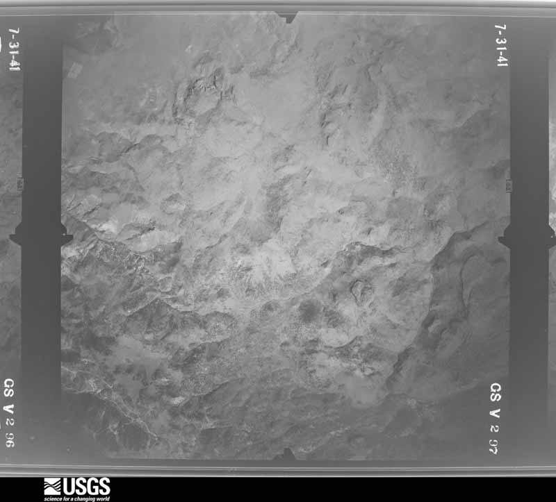
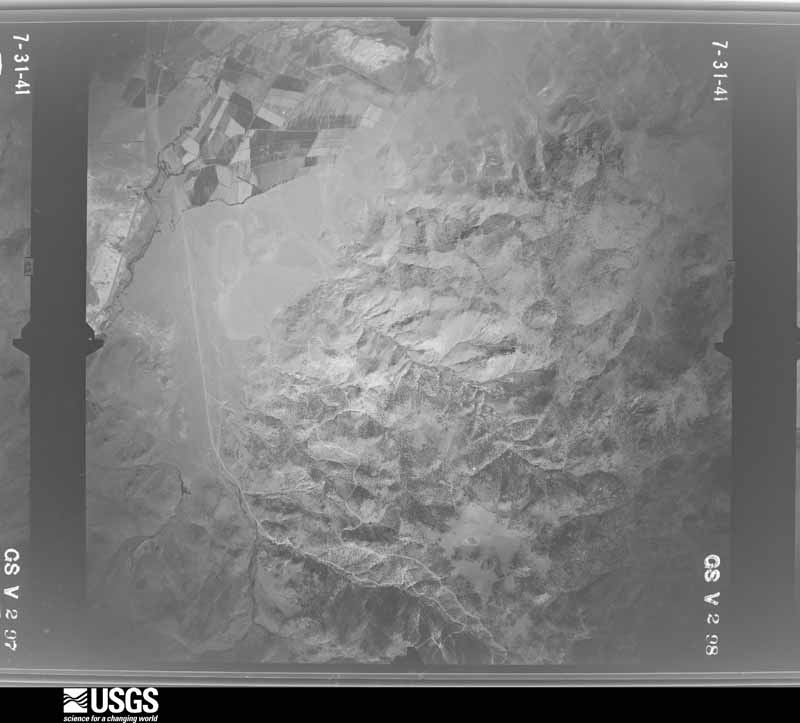
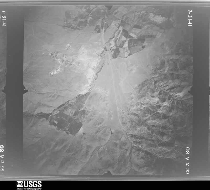
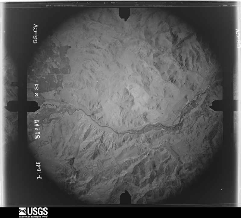
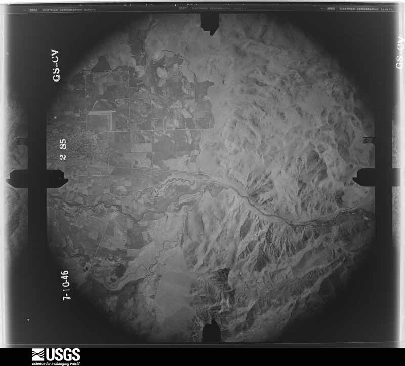
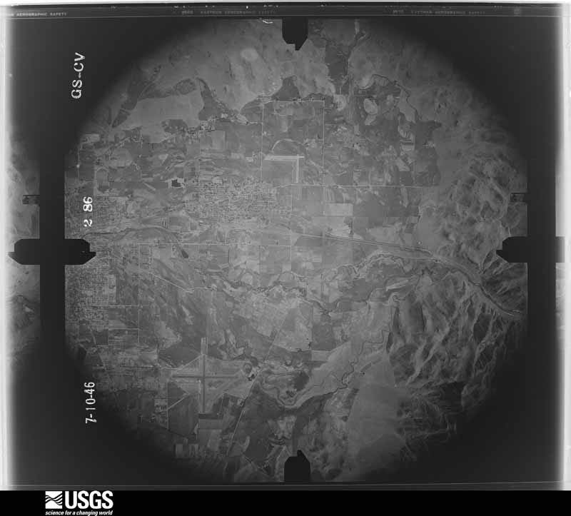
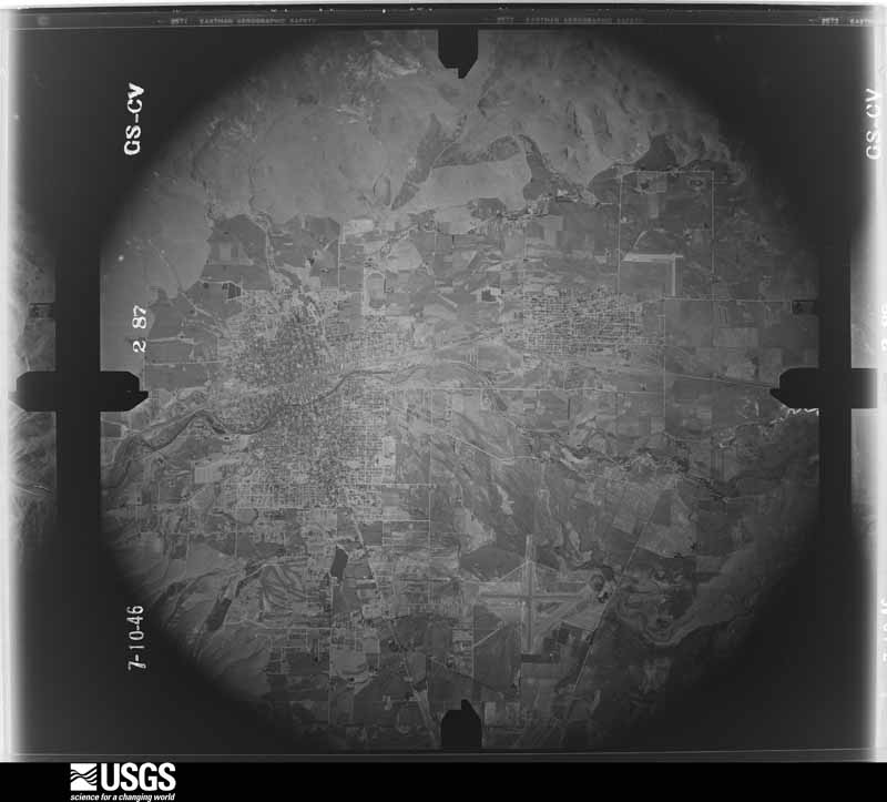
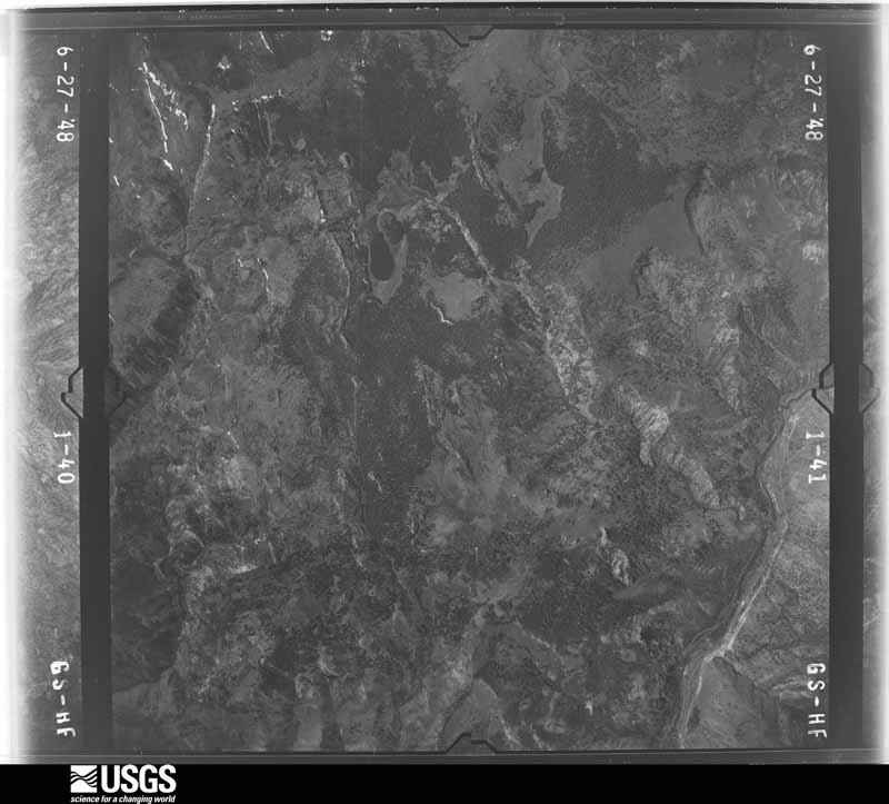
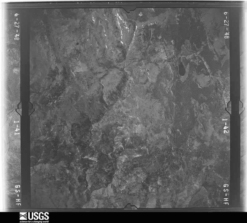
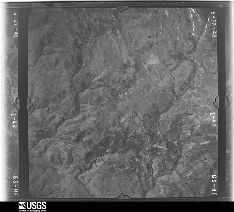
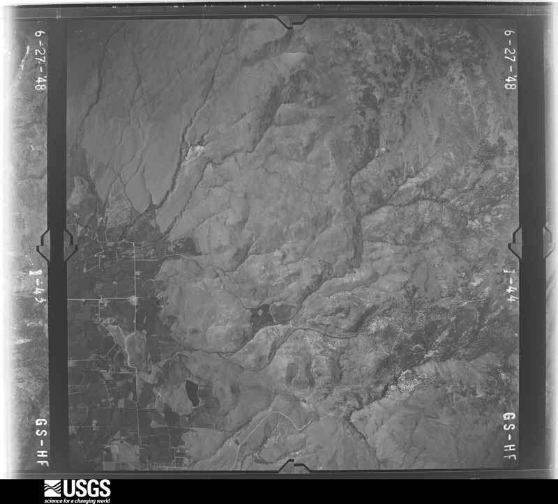
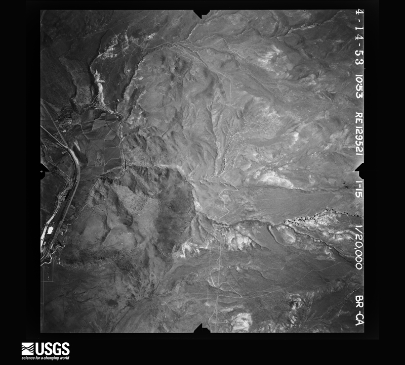
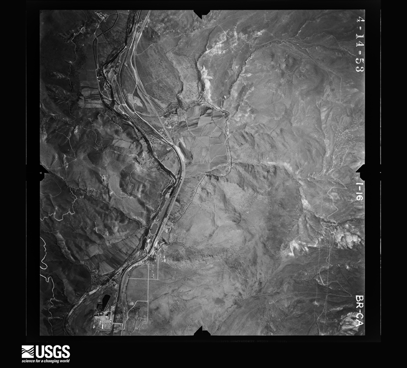
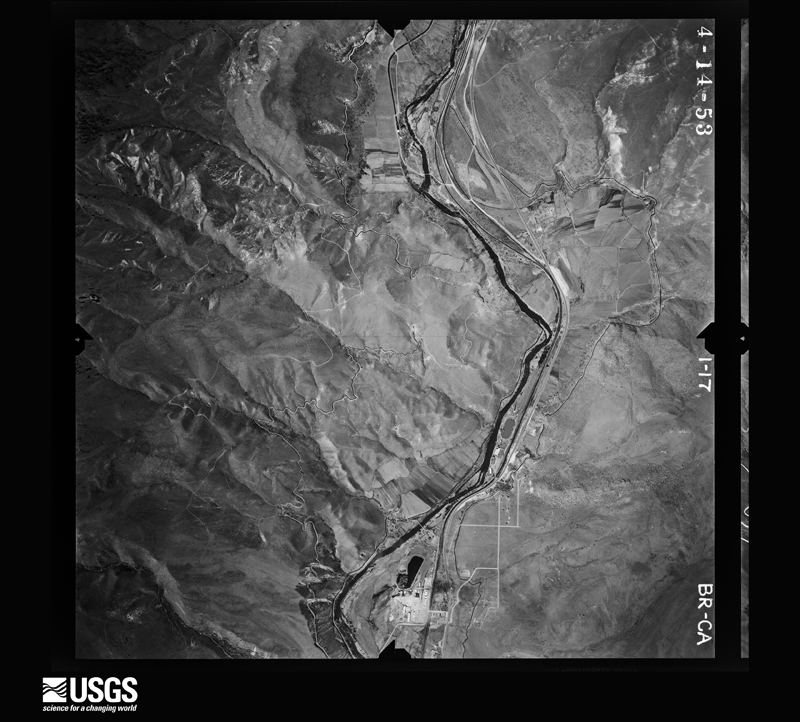
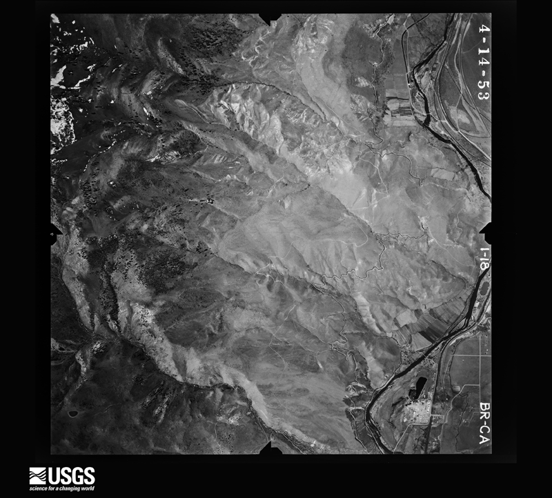
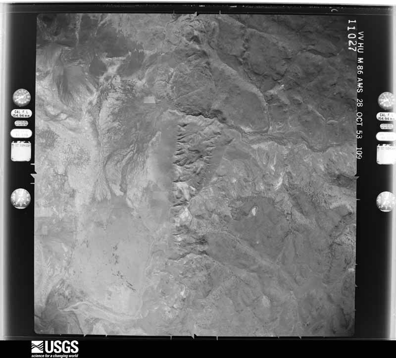
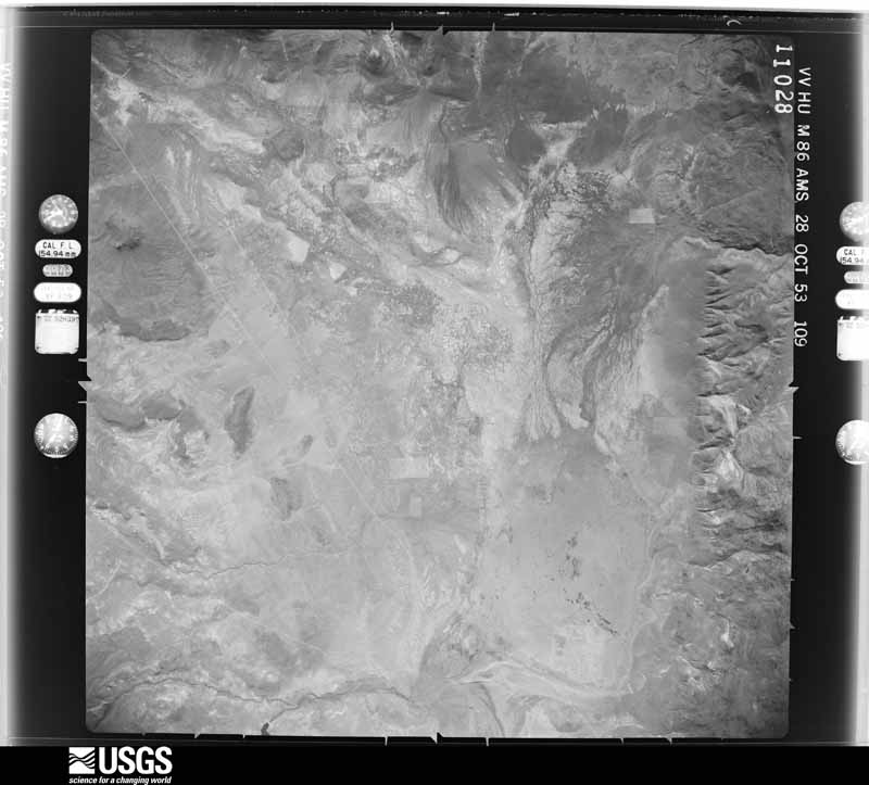
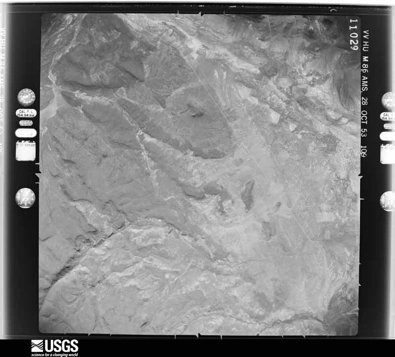
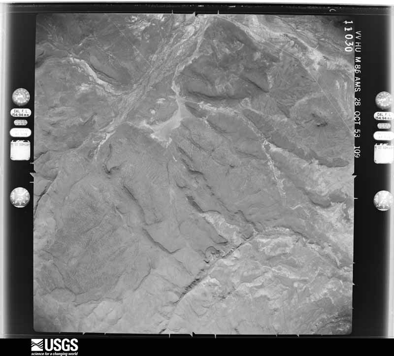
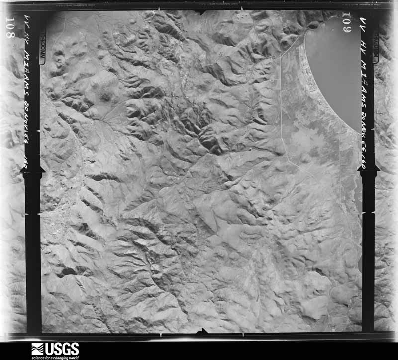
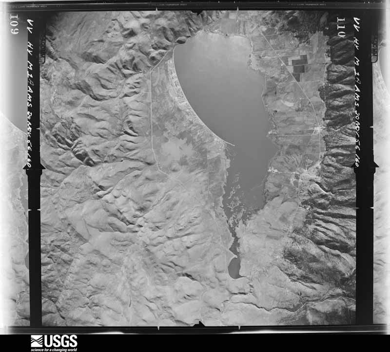
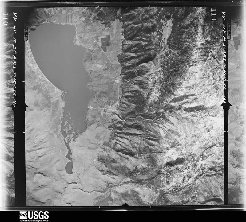
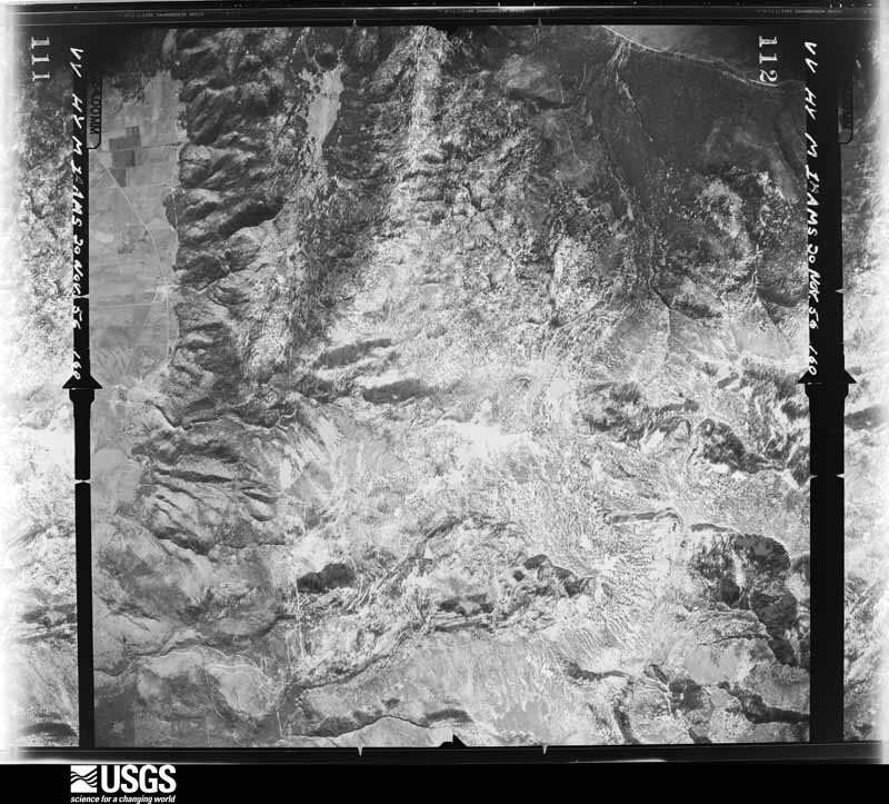
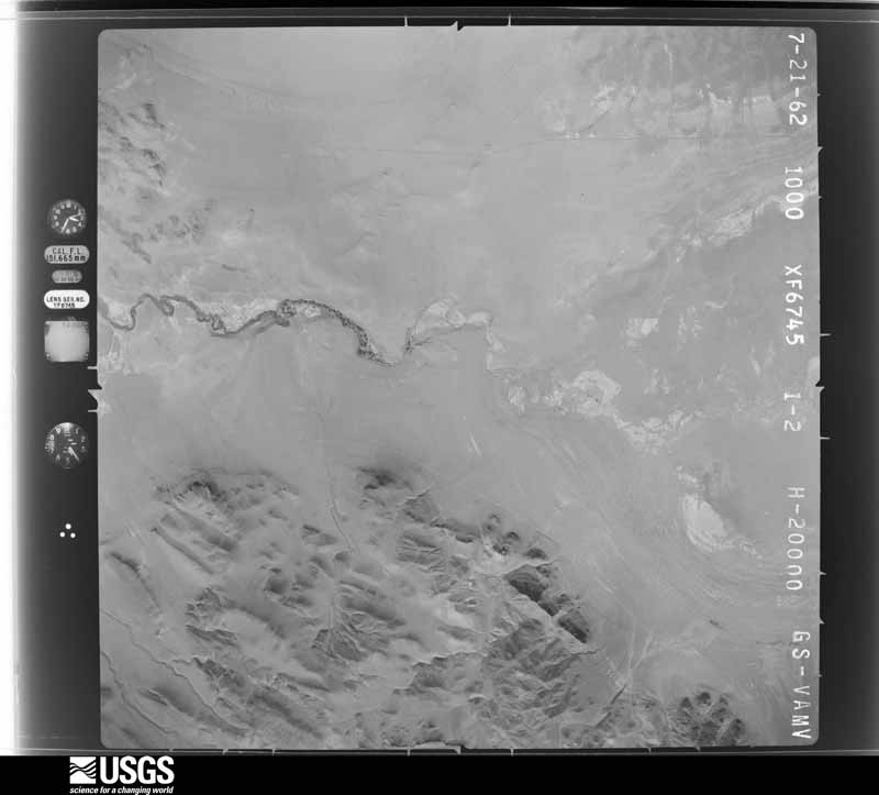
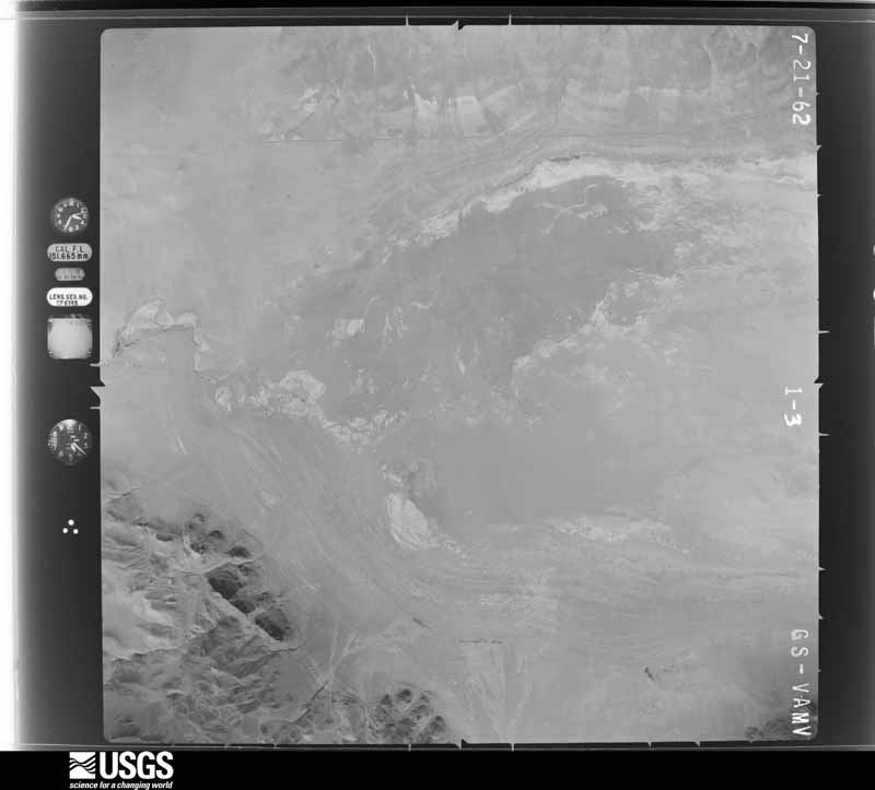
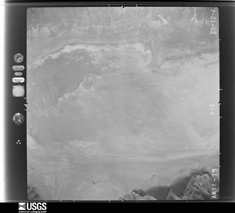
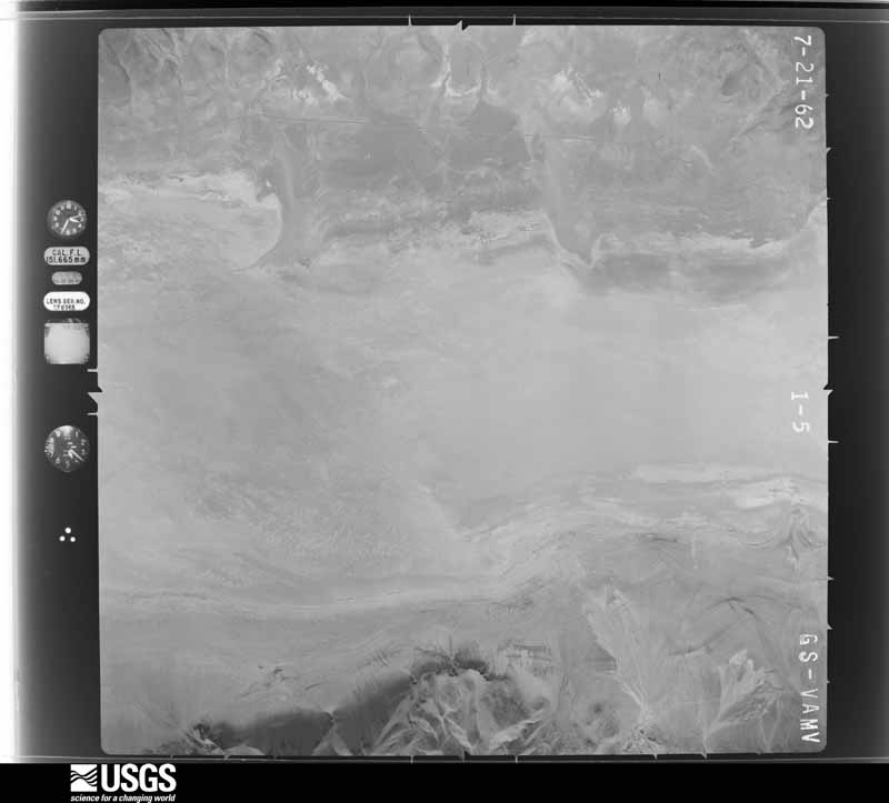
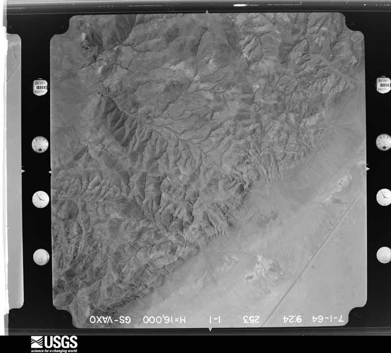
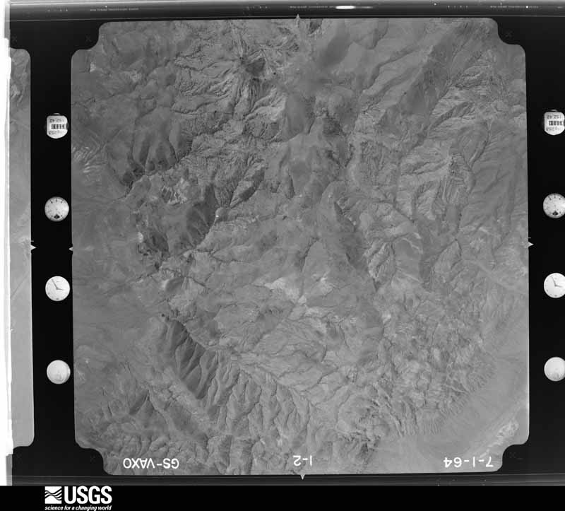
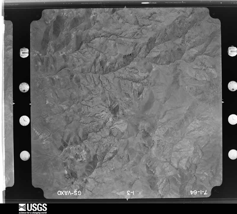
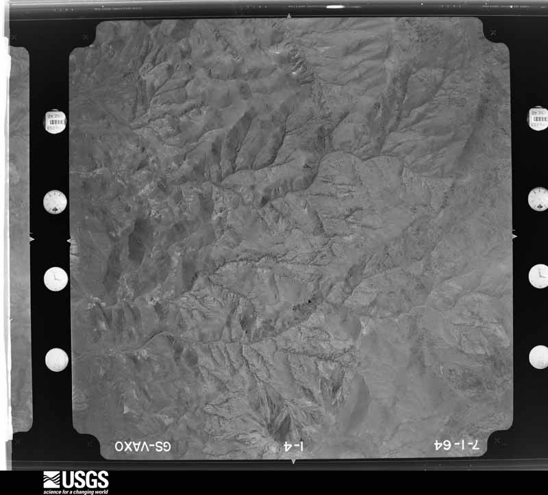
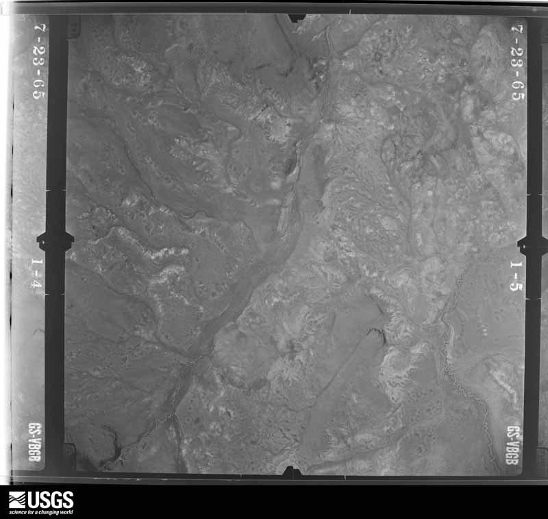
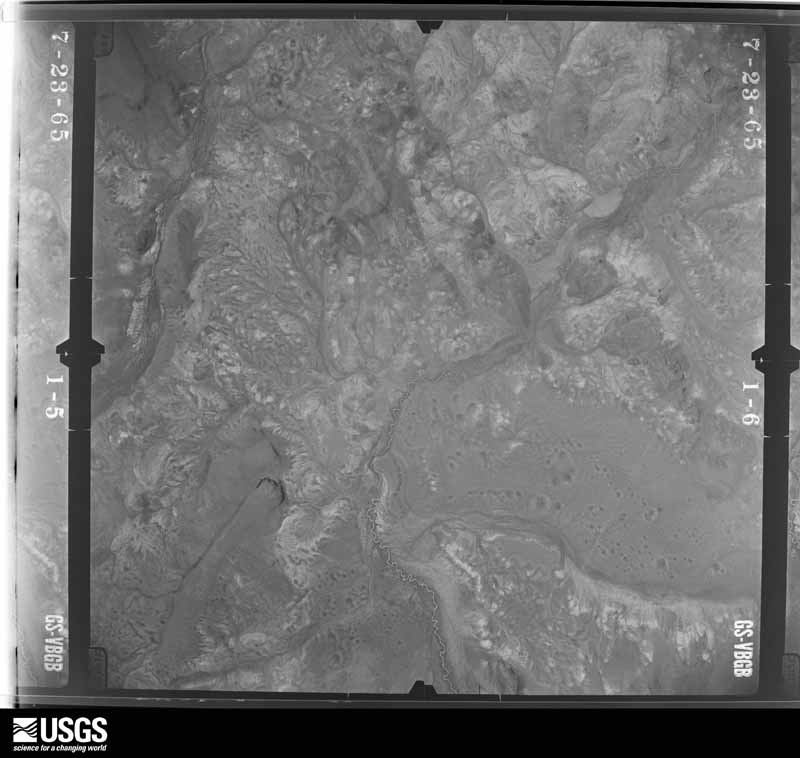
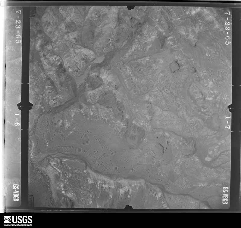
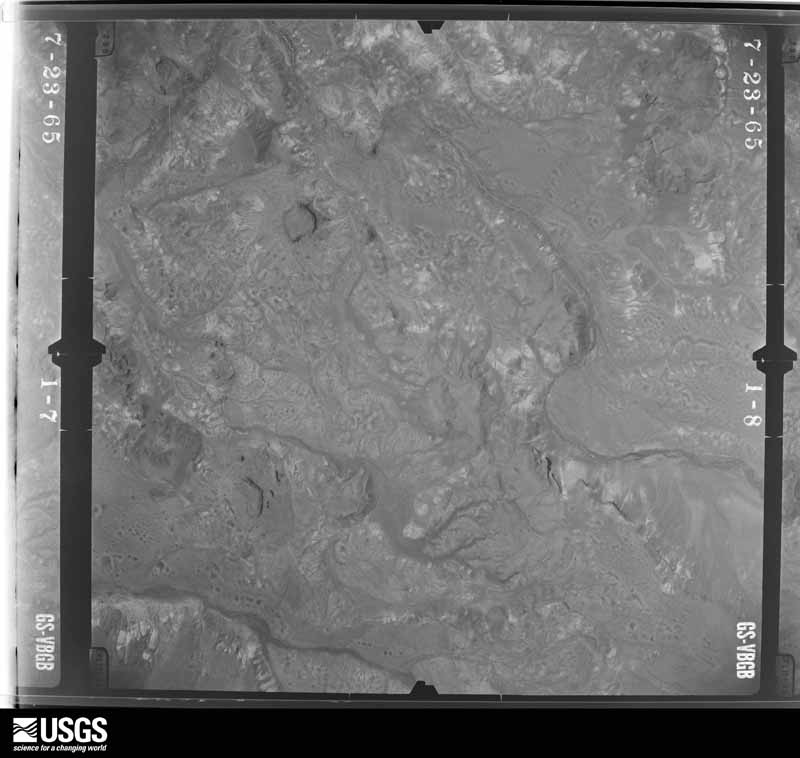
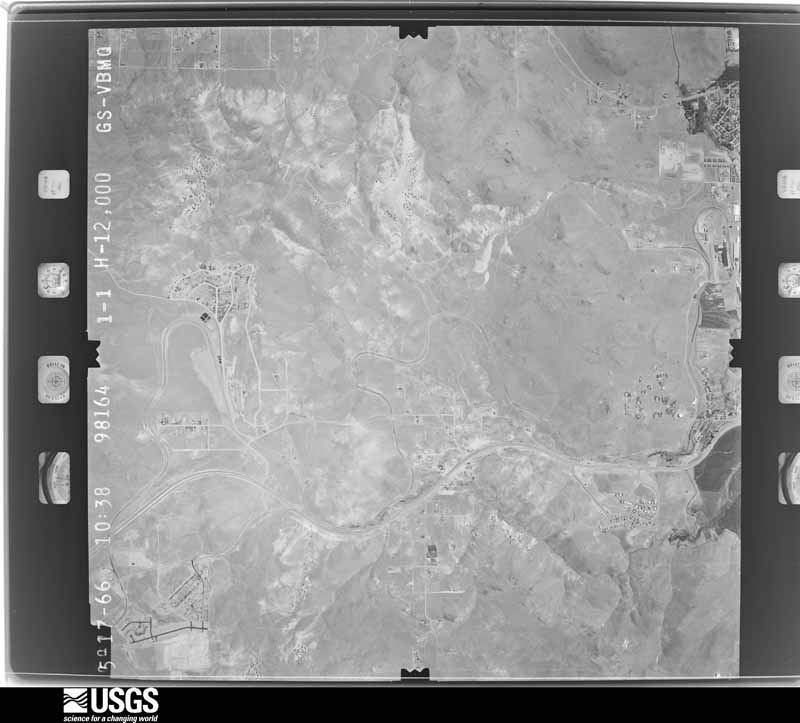
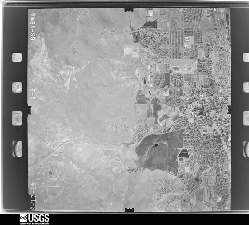
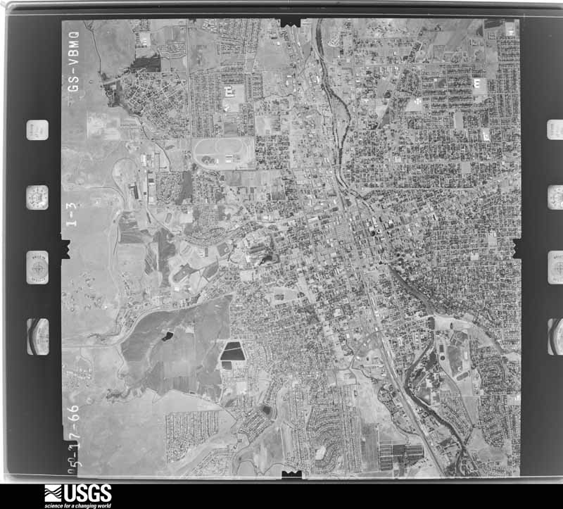
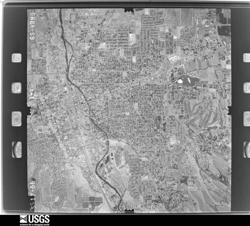
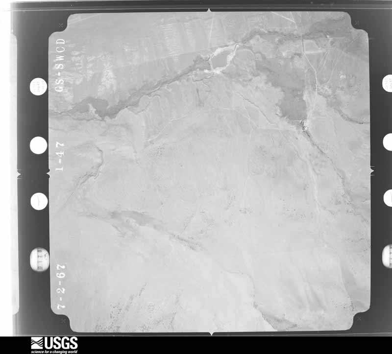
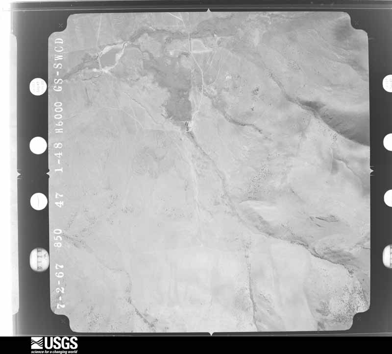
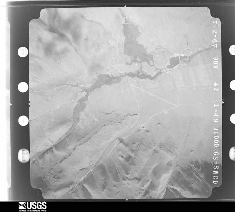
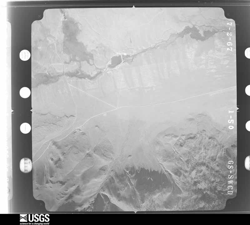
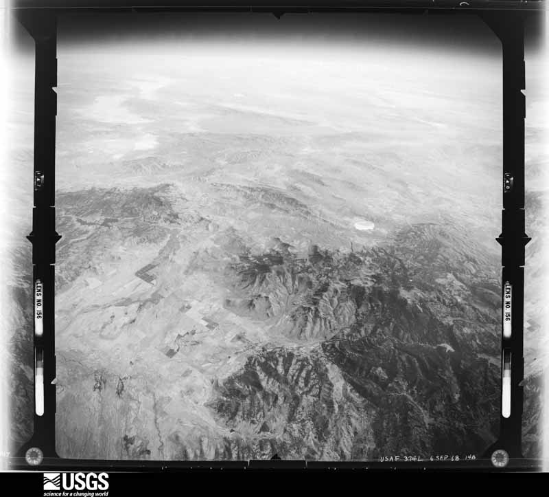
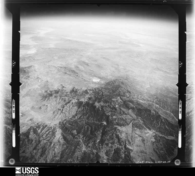
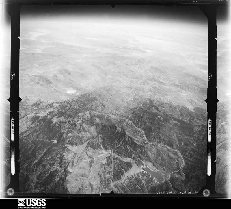
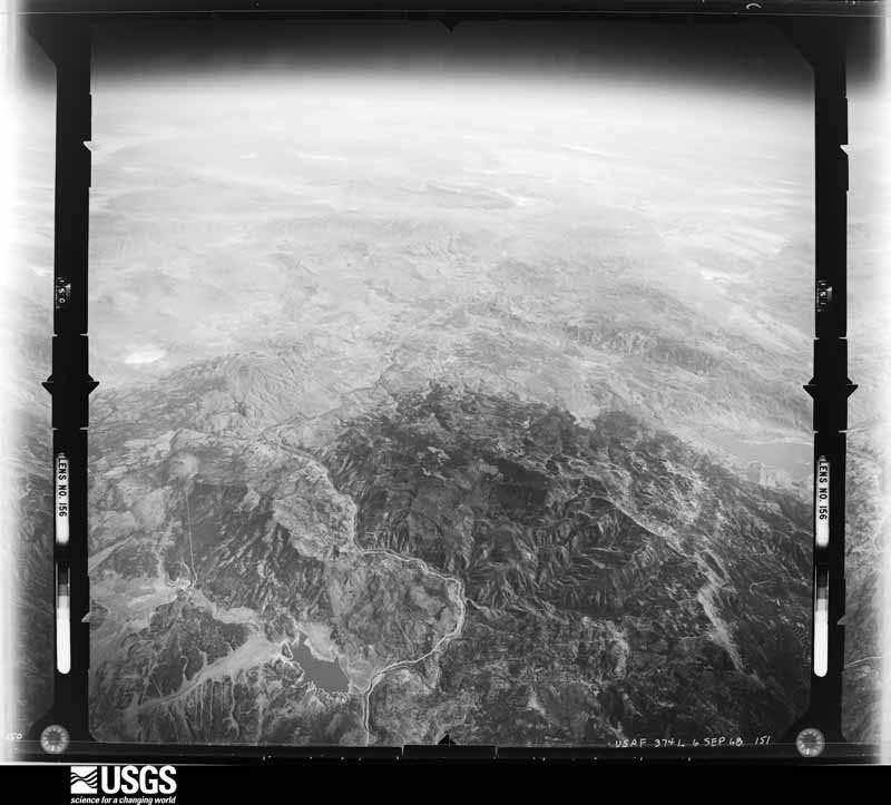
Flown by the U.S. Geological Survey between 1937 and 1989, the Aerial Photo Single Frames collection is the definitive mid-century view of the land: fields, roads and rivers as the camera saw them. The Survey holds 11,105 frames inside the rectangle that bounds this county; the 48 frames below were taken over the county itself, chosen across the decades of flights (at most four a year from that rectangle), so one flight cannot crowd out the rest. The full set is free to browse and download at EarthExplorer under the dataset Aerial Photo Single Frames.
The thermometers that kept this county's weather, and the gages that measured the flow of its streams, as the federal records hold them. The extremes below are measured values from those records, not estimates.
Who lived here in 1950, one enumeration district at a time, as the Census Bureau described each district. Each row opens its official National Archives result, with Population Schedules and ED Maps available there.
Every wildfire the federal occurrence database records inside this county: 2,133 of them, burning about 906,834 acres. 1,124 started naturally and 41 were recorded as arson. Each settlement page carries the fires within five miles of it.
| Reported cause | Fires |
|---|---|
| Natural | 1124 |
| Missing data/not specified/undetermined | 379 |
| Equipment and vehicle use | 123 |
| Debris and open burning | 106 |
| Recreation and ceremony | 101 |
| Firearms and explosives use | 72 |
| Fireworks | 61 |
| Arson/incendiarism | 41 |
| Misuse of fire by a minor | 41 |
| Power generation/transmission/distribution | 31 |
| Smoking | 30 |
| Other causes | 12 |
| Railroad operations and maintenance | 12 |
The five largest, by the area the report gives. Two of them were set deliberately.
| Date | Cause | Size | Reported by | Name on the report |
|---|---|---|---|---|
| 3 July 2017 | Missing data/not specified/undetermined | 98,960 acres | Winnemucca District Office | TRUCKEE |
| 29 August 2017 | Natural | 94,221 acres | Western Nevada Agency | TOHAKUM 2 |
| 5 August 2012 | Natural | 61,298 acres | Northern California District | LOST |
| 27 July 2018 | Arson/incendiarism | 51,386 acres | Western Nevada Agency | PERRY |
| 23 August 1999 | Natural | 47,133 acres | Carson City District Office | FISH 2 |
| 3 July 2017 | Arson/incendiarism | 41,545 acres | Carson City District Office | EARTHSTONE |
| 24 August 1999 | Natural | 40,000 acres | Sheldon National Wildlife Refuge | BADGER FIR |
| 28 July 2016 | Natural | 36,142 acres | Carson City District Office | TULE |
Every settlement page carries the fires within five miles of it - see the settlement index below.
The NOAA Storm Events Database holds 319 reports for this county, causing 1 death, 10 injuries and about $18,220,500 in recorded property damage. Each settlement page carries the reports that name it.
| Kind of event | Reports |
|---|---|
| Heavy Rain | 123 |
| Thunderstorm Wind | 74 |
| Hail | 39 |
| Flash Flood | 31 |
| Flood | 22 |
| Tornado | 13 |
| Lightning | 5 |
| Debris Flow | 5 |
| Funnel Cloud | 3 |
| Dust Devil | 2 |
| Heavy Snow | 1 |
| Wildfire | 1 |
The most serious of them, by death, then injury, then recorded damage. The accounts are quoted exactly as the forecast office filed them.
| When | Event | Place named | Harm | What the report says |
|---|---|---|---|---|
| September 1985 | Thunderstorm Wind | not stated | 1 killed | no account filed |
| September 2011 | Lightning | West Reno | 4 hurt | Lightning from a thunderstorm over the McQueen High School soccer field struck between two sets of bleacher seats on the afternoon of the 24th, causing 4 injuries. Two of the injured went to the hospital and were in stable condition while two others refused treatment. One man had his hair singed and the left half of his shirt burned. |
| November 1996 | Heavy Snow | Sun Vly | 2 hurt, $10,000 | no account filed |
| July 2002 | Thunderstorm Wind | Sutcliffe | 1 hurt, $5,000 | no account filed |
| August 1999 | Lightning | Sparks | 1 hurt | Man struck by lightning while trimming a tree |
| May 1997 | Lightning | Reno | 1 hurt | A man was struck by lightning while walking in Idlewild Park in Reno, NV. He was injured and taken to the hospital for treatment. |
| July 1973 | Tornado (F1) | not stated | 1 hurt | no account filed |
| January 2017 | Flood | Sutcliffe | $7,000,000 | Highway 446 was destroyed by flood waters in more than 10 places on the southwest side of Pyramid Lake. Some sections were left with nearly 50-foot deep ravines. The highway was not re-opened to the public until early March. Repair cost based on Nevada Department of Transportation estimates from Reno-Gazette Journal article in February. |
| December 2005 | Flood | Verdi | $5,600,000 | A levee along Steamboat Creek failed and flooded the University of Nevada - Reno agricultural farm in east Reno. Around 1,800 animals were evacuated to higher ground, but 344 sheep drowned in the floodwaters. The Industrial Area in east Sparks suffered flooding, with an estimated 900 business reporting damage. Greg Street was impassable in many locations. Some areas near Glendale Avenue were covered with four feet of floodwater. A health hazard was created when raw sewage contaminated floodwaters in the Spice Island Drive area of Sparks. In downtown Reno all bridges across the Truckee River were closed. Flooding also occurred at the base of Mt. Rose Highway at its intersection with U.S. Highway 395. The Toll Road area near Steamboat was flooded, and Nevada Highway 341 (Geiger Grade) was closed.The rain-saturated soil caused trees to topple onto power lines in Incline Village. Sierra Pacific Power Company reported that around 3,000 people were without power on December 31st. |
| July 2025 | Flash Flood | Vya | $1,500,000 | Nevada State Police reported flooding on I-80 between Wells Ave and Virginia St prompting the closure of I-80 westbound lanes. Also, University of Nevada Reno reported flooding of buildings on campus and there was flooding reported throughout J Casino. |
| January 2017 | Flood | (Rno)Cannon Arpt Ren | $1,000,000 | Flooding from Steamboat Creek and the North Truckee Drain (near I-80 in Sparks) combined with some input from the Truckee River to bring a large area of lowland flooding between McCarran Blvd and Hidden Valley, as well as south of Interstate 80 in the Sparks Industrial area. Several days of notice allowed many businesses and homes in Hidden Valley (near Boynton Slough) to prepare flood mitigation measures including sandbagging. However, several homes in Hidden Valley still had flood damage due to overtopped sandbags and/or basement flooding. The timing of the flood is approximate and the damage is roughly estimated. |
| June 2002 | Flash Flood | Southwest Portion | $1,000,000 | no account filed |
| January 2006 | Flood | Verdi | $623,000 | no account filed |
| June 2015 | Flash Flood | Vista | $500,000 | Slow-moving thunderstorms with torrential rainfall in the higher terrain overwhelmed city drainage systems, causing flash flooding in East Sparks. Some areas were under several feet of water, with standing water and debris making travel difficult along Sparks and Vista Blvds. According to Sparks Police at least a dozen cars were stuck in the flooding. Water damage to Whitehead and Moss Elementary Schools was estimated at between 400K and 450K. |
| June 2013 | Flash Flood | Nixon | $500,000 | Heavy rain with slow-moving thunderstorms over the Lake Range east of Pyramid Lake caused up to a dozen sections of highway 447 between Nixon and Gerlach to be washed out. |
| June 2013 | Lightning | Lemmon Vly | $300,000 | Five lightning strikes associated with a severe thunderstorm hit the Washoe County Emergency Operations Center's communications tower. The strikes disabled the primary communications repeater although backups were not disabled. |
| July 2019 | Heavy Rain | Sparks | $60,000 | KTVN Channel 2 News reported that the roof on Reed High School leaked during heavy rainfall from thunderstorms on the afternoon of 25 July. A nearby mesonet reported 0.21 inches of rainfall from 1703PST to 1803PST. According to Washoe County School District, three sections of the roof were being replaced at the time. All three sections leaked in multiple areas. Walls, ceilings, floors, and 36 computers were damaged by the rain water. Preliminary damage estimates were $40-60K according to the school district. |
| July 2015 | Flash Flood | Empire | $25,000 | Reports from the Nevada Department of Transportation indicated water and debris over highway 447 south of Empire. The flooding caused significant erosion of road shoulders which required closure of the road for safety and repairs. |
| July 2025 | Flash Flood | Sparks | $20,000 | Nevada DOT Reno reported flooding on Rock Blvd which prompted the closure of the road near I-80. |
| July 2025 | Debris Flow | Boardertown | $20,000 | Public reported a mudslide and rockslide due to heavy rain with vehicles stuck in the mud. Radar estimates 1-2 inches of rainfall for the event. |
| July 2008 | Flash Flood | Harolds Trapshoot Sp | $20,000 | A National Weather Service hydrologist reported flash flooding across Palomino Valley north of Reno. Approximately 0.75 to 1.50 inches of rain fell over the area between 4 and 5 pm PDT. Over 1 mile of Wilcox Ranch Road south of Basque Oven Road was washed out with much debris covering the road. Some area fences were damaged. Small hail accumulated 2 to 3 inches deep before it was washed away by the heavy rain. |
| June 2013 | Flash Flood | Gerlach | $10,000 | Slow-moving thunderstorms with heavy rainfall caused flash flooding over highway 447 about 5 miles northwest of Gerlach. The road was closed due to the flooding. |
| July 2008 | Flash Flood | Black Spgs | $5,000 | Heavy rainfall caused flash flooding in Stead. A cooperative weather observer reported that approximately an inch of rain fell between 3 and 4 pm PDT in Stead. Streets were closed due to water and mud on the roads. A skate park and crawl spaces in homes were also flooded. |
| June 2007 | Flash Flood | Lockwood | $5,000 | Very heavy rainfall caused flash flooding in the Lockwood area. A Washoe County official reported 8 inches of standing water on roads near Exit 22 on Interstate 80. At other locations in the area up to a foot of water was running across roads. A fire department chief described areas of water as small lakes. |
| July 2005 | Flash Flood | Sparks | $5,000 | Heavy rainfall caused flash flooding in the Spanish Springs area of Sparks. A total of 1.19 inches of rain was recorded at the weather observing station at Spanish Springs High School during a period of 30 to 40 minutes. Muddy water and small rocks flowed down streets above Vista Blvd. in Sparks. |
| July 2005 | Thunderstorm Wind | Sparks | $3,000 | Straight-line winds from a thunderstorm downburst caused damage along Pyramid Highway north of Sparks. Roofing tiles and metal siding was damaged on a house. Shingles were also blown off of another house. |
| July 2005 | Thunderstorm Wind | Sparks | $3,000 | Strong winds estimated at around 55 kt (63 mph) knocked over small trees and broke tree limbs near Vista Blvd. in Sparks. A stop sign was also reportedly blown over. |
| July 2014 | Thunderstorm Wind | Vista | $2,000 | Multiple reports of large tree limbs downed along Sparks Blvd. and at the Sparks Marina. |
| June 2006 | Thunderstorm Wind | Sparks | $1,000 | A wind gust estimated at 39 kt (45 mph) caused damage near Los Altos Parkway in Sparks. The Reno Gazette-Journal reported that a few fences were knocked down by the strong winds. One homeowner had six feet of wood fence destroyed, along with two screen-glass doors that were shattered. |
| July 2000 | Dust Devil | Reno | $1,000 | A dust devil damaged several outdoor booths during a special events celebration. |
| July 2002 | Thunderstorm Wind | Reno | $1,000 | no account filed |
| May 2009 | Dust Devil | Reno | $500 | A dust devil was observed in a field west of Pyramid Highway at Calle de la Plata north of Reno. |
| August 1999 | Thunderstorm Wind | Sparks | $500 | A 14" tree branch was blown onto a car, minor damage reported. |
| July 2002 | Thunderstorm Wind | Reno | $500 | no account filed |
| March 2025 | Heavy Rain | Verdi | - | CoCoRaHS Station NV-WH-19, 9W of Reno reported 0.85 inches of rain. |
| February 2025 | Heavy Rain | Incline Vlg | - | CoCORAHS (NV-WH-39 Reno) located 7.0 mi NNE of Washoe City, NV, a trained spotter located 1.0 mi NNW of Incline Village, NV, and Cocorahs station (NV-WH-188 Lakeview) located 3.0 mi WNW of Lakeview, NV, reported 24 hour storm total rainfall of 0.73 inches, 1.04 inches, and 1.31 inches respectively. |
| February 2025 | Heavy Rain | Washoe City | - | A COCORAHS station (NV-WH-39 Reno) located 7.0 mi NNE of Washoe City, NV, reported a 24hr rainfall storm total of 0.70 inches. |
| February 2025 | Heavy Rain | Harolds Trapshoot Sp | - | A trained spotter located 3.0 mi NE of Spanish Springs, NV, reported a 24hr rainfall storm total of 1.06 inches. |
| August 2025 | Thunderstorm Wind | Flanigan | - | The mesonet station 9 miles W of the Needle Rocks. Additional thunderstorm gusts included 53 mph at Locklock ASOS station, and a 44 mph outflow gust 4 miles SE of New Washoe City. |
| June 2025 | Heavy Rain | Mogul | - | Desert Research Institute mesonet station at Mogul Park recorded 1.68 inches of rainfall. |
| July 2025 | Thunderstorm Wind | (Rno)Cannon Arpt Ren | - | Recorded at Reno International Airport. |
| July 2025 | Hail | Reno | - | Public reported 1 inch hail in south Reno. There were also multiple reports of 0.75 inch hail and accumulating hail throughout the city. |
| July 2025 | Hail | Huffakers Hills | - | At the intersection of Veterans Pkwy and Piper Peak Lane in Reno. There were also several reports of one inch and 0.75 inch diameter hail in south Reno. |
| July 2025 | Thunderstorm Wind | Sutcliffe | - | Peak outflow gust at mesonet station CW8738 in Reno. |
| August 2025 | Thunderstorm Wind | Flanigan | - | A 57 mph thunderstorm outflow wind gust 4.6 miles northeast of Schurz. |
| August 2025 | Flash Flood | Sparks | - | Minor debris and roadway flooding on South Rock Blvd along both directions near Hymer Ave in Sparks. Additional flooding was reported throughout the city of Sparks, with rainfall estimations up to 1.15 inches. |
| August 2025 | Flash Flood | Nixon | - | SR-447 closed from Church Street in Nixon to the Pershing Washoe County line. |
| August 2025 | Flash Flood | Crystal Bay | - | Flooding was reported throughout Incline Village, with multiple reports of closed roads. Upwards of 2.22 inches of rain had fallen over the area. |
| August 2025 | Flash Flood | Thisbe | - | Nevada Department of Transportation reported a road closure due to flooding and debris on both the westbound and eastbound I-80 near Derby Dam. |
| August 2025 | Flash Flood | Thisbe | - | Flooding over portions of I-80 near USA Parkway reported by a member of the public via social media. The nearest mesonet station recorded 1.41 inches of rain. |
| August 2024 | Heavy Rain | Vya | - | A mesonet station (FOXN2-Fox Mountain) located 27.0 mi NNW of Gerlach, NV, and a mesonet station (JSPN2-Juniper Springs) located 36.0 mi S of Vya, NV, reported total rainfall amounts of 0.58 and 0.84 inches respectively. |
| July 2024 | Flood | Sparks | - | Law enforcement reported 0.25 mi SW of Sparks, NV, of ponding water over the roadway causing a portion of Rock Blvd to be temporarily closed. |
| July 2024 | Heavy Rain | Galena Creek | - | A mesonet station LTVN2(SNOTEL) located 4.2 mi S of Mount Rose Summit reported a total rainfall amount of 0.50 inches. |
| July 2024 | Heavy Rain | Sparks | - | A mesonet station NSPA (DRI) located 2.8 mi S of Sparks, NV, reported a total rainfall amount of 0.54 inches. |
| July 2024 | Flash Flood | Vista | - | County official reported 4.0 mi WSW of Lockwood, NV, road closures between Hidden Highlands Drive and Sleepy Hollow Drive due to flash flooding in the area of Hidden Valley. About 100 homes were affected by the flooding. |
| September 2024 | Heavy Rain | Incline Vlg | - | Mesonet stations (2306D) located at Incline Village, NV, a Trained Spotter located 1.0 mi NNW of Incline Village, NV, and a mesonet station (SW0254) located 1.0 mi NE of Crystal Bay, NV, reported 24hr rainfall storm totals of 0.78 inches, 0.62 inches, and 0.56 inches respectively. |
| October 2024 | Heavy Rain | Gerlach | - | A mesonet station (FW0371-Gerlach) located in Gerlach, NV, reported 24 hour rainfall totaling 0.57 inches. |
| August 2024 | Heavy Rain | Galena Creek | - | Mesonet station (MRSN2) located at the Mount Rose Summit (SNOTEL) reported 24hr rainfall storm totals of 0.5 inches. |
| December 2024 | Heavy Rain | New Washoe City | - | A mesonet station (LTVN2) located 3.0 miles E of Diamond Peak Ski Base, NV, reported a 24 hour rainfall total of 0.60 inches. |
| November 2024 | Heavy Rain | Crystal Bay | - | A trained Spotter located 1.0 mi NNW of Incline Village, NV, and a COCORAHS station (NV-WH-74 Reno) located 3.0 mi E of Verdi, NV, reported 24hr rainfall storm totals of 0.60 inches, and 0.42 inches respectively. |
The Survey's mineral resources record lists 593 workings inside this county. 38 still produce and 555 are closed or unrecorded. Each settlement page carries the workings within five miles of it.
| Commodity | Workings |
|---|---|
| Gold | 159 |
| Uranium | 82 |
| Copper | 60 |
| Silver | 56 |
| Sand and Gravel, Construction | 50 |
| Tungsten | 28 |
| Gold, Silver | 22 |
| Diatomite | 18 |
| Silver, Gold | 16 |
| Lead | 14 |
| Mercury | 12 |
| Perlite | 12 |
| Clay | 11 |
| Titanium, Metal | 10 |
The least common of them first, because a county's hundredth gravel pit says nothing its first ten did not.
| Where | Site | Commodity | Status | Recorded |
|---|---|---|---|---|
| (Facility) United States Platinum Refinery | REE, Uranium, Silver, Platinum, Gold | Plant | ||
| Adobe Springs Prospects | Gold, Copper, Tungsten | Occurrence | ||
| Angelia | Gold, Antimony, Silver | Prospect | ||
| Anglia Prospect | Lead, Silver, Gold, Antimony, Copper, Zinc, Tungsten | Past Producer | Galena, Sphalerite, Stibnite, Tetrahedrite | |
| Antelope Property | Mercury, Gold, Silver, Iron | Past Producer | 1929, 1939 | |
| Arkell Mine | Silver, Gold, Antimony, Lead, Zinc | Past Producer | Anglesite, Argentite, Galena, Pyrite, Sphalerite | |
| Bald Mountain Claims | Silver, Gold, Mercury, Uranium | Occurrence | 1897 | |
| Bald Mountain Claims | Silver, Uranium, Mercury, Gold | Occurrence | ||
| Big Basin Prospect | Silver, Gold, Zinc, Lead | Prospect | ||
| Black Hawk Prospect | Iron, Uranium | Occurrence | Carnotite, Magnetite, Torbernite | |
| Black Warrior Peak Prospects | Gold, Zinc, Silver, Lead, Antimony | Prospect | ||
| Buffalo Springs Saltpect | Salt | Past Producer | ||
| Buster Mines | Gold, Silver, Lead, Tellurium, Copper | Past Producer | Argentite | |
| Commonwealth | Lead, Zinc, Silver, Copper, Gold | Past Producer | Calamine, Chalcopyrite, Galena, Malachite, Smithsonite, Sphalerite | |
| Crosby Mine | Tungsten, Gold, Silver, Copper, Bismuth, Molybdenum | Past Producer | Contact Metamorphic | |
| Donatelli Mine | Antimony, Copper, Gold, Silver | Past Producer | Vein | |
| Ellen B. Property | Gold, Tungsten, Silver, Lead, Copper | Past Producer | ||
| Empire Mill | Gypsum-Anhydrite | Plant | ||
| Forty-Nine Range Placers | Titanium, Metal, Iron | Occurrence | ||
| Fortynine Placer | Titanium, Iron, Copper | Occurrence | ||
| Fravel Mines | Gold, Silver, Lead, Copper | Past Producer | ||
| Freiberg Mine | Lead, Zinc, Silver | Past Producer | ||
| Gabbro | Nickel, Copper | Occurrence | ||
| Galena Hill Mine | Lead, Zinc, Silver, Gold, Copper | Past Producer | ||
| Granite Mountain | Uranium, Thorium | Occurrence | ||
| Harry Woods Prospect | Mercury, Iron, Gold | Occurrence | 1940 | |
| Hog Ranch Mine | Gold, Silver, Mercury, Uranium | Producer | 1986, 1995 | |
| Jones-Kincaid Mine | Silver, Arsenic, Copper, Gold | Past Producer | Vein | |
| Last Stand Claim | Iron, Titanium, Metal | Occurrence | ||
| Leadville Mine | Silver, Lead, Gold, Copper, Zinc | Past Producer | 1909 | |
| Leadville Mine | Gold, Zinc, Silver, Lead, Copper | Past Producer | 1910 | |
| Lizard Claims Nos. 1-5 | Gold, Uranium, Tungsten | Prospect | ||
| Marble Bluff Deposit | Limestone, General, Dolomite, Stone, Crushed/Broken | Past Producer | ||
| Marshall Group | Lead, Silver, Zinc | Past Producer | ||
| Modoc Mine | Copper, Zinc, Silver, Lead, Gold | Prospect | ||
| Montmorillonite Deposit | Bentonite | Prospect | ||
| Mountain View Gold Project | Gold, Silver, Lead, Copper, Mercury, Arsenic, Antimony | Producer | 1938 | |
| Mountain View Tungsten Prospect | Copper, Silver, Tungsten | Occurrence | Contact Metamorphic | |
| NBMG Sample Site 2887 | Gold, Copper, Antimony | Occurrence | Vein | |
| NBMG Sample Site 2887 | Gold, Copper, Arsenic | Prospect | ||
| NBMG Sample Site 2920 | Silver, Zinc, Gold, Copper | Occurrence | Silver | |
| NBMG Sample Site 2920 | Silver, Zinc, Gold | Past Producer | ||
| NBMG Sample Site 4321 | Lead, Zinc, Silver | Occurrence | Galena | |
| Nixon Deposit | Montmorillonite | Prospect | ||
| Olinghouse Mine | Silver, Gold, Arsenic, Zinc, Lead, Copper, Mercury, Antimony | Producer | 1994 | |
| Orion Group | Gold, Uranium, Perlite, Semiprecious Gemstone | Prospect | ||
| Owl Lode | Copper, Silver, Zinc, Gold, Lead | Occurrence | Vein | |
| Owl Prospect | Silver, Copper, Zinc, Lead | Prospect | ||
| Packard Mine | Lead, Zinc, Silver, Gold | Past Producer | ||
| Peavine Creek Area | Gold, Lead, Silver, Zinc | Prospect | ||
| Peavine Peak Mine | Tungsten, Gold | Past Producer | Unknown | |
| Peponis Mine | Silica, Manganese, Sulfur, Phosphorus-Phosphates | Prospect | 1940 | |
| Peterson Mtn. | Feldspar | Past Producer | ||
| Pyramid Lake Copper Prospect | Copper, Molybdenum, Silver | Occurrence | 1985 | |
| Red Metals Mine | Gold, Silver, Copper | Past Producer | Bornite, Chalcanthite, Chalcocite, Magnetite, Malachite, Pyrite | |
| San Emidio Hg-Sulphur Prospects | Gypsum-Anhydrite, Mercury, Sulfur | Occurrence | Cinnabar, Gypsum, Sulfur | |
| Sano Mine | Silver, Gold, Lead | Past Producer | 1923 | |
| Section 21 Prospects | Lead, Zinc, Iron, Copper | Prospect | ||
| Silica Pit | Mercury, Silica, Molybdenum | Past Producer | ||
| Silver Bell | Silver, Gold, Lead, Copper | Past Producer | ||
| Silver Bell Mine | Silver, Tungsten, Molybdenum, Lead, Zinc, Copper | Occurrence | Contact Metamorphic | |
| Silver Fox Prospect | Lead, Copper, Antimony, Gold, Silver | Occurrence | Vein | |
| Silver Fox Prospect | Silver, Lead, Gold, Copper, Antimony | Prospect | ||
| Steamboat Springs Mine | Mercury, Silica, Gold, Silver, Antimony | Past Producer | 1875, 1877 | |
| Steamboat Springs Mine | Mercury, Sulfur, Silica, Antimony, Silver, Gold | Past Producer | Cinnabar, Metacinnabar | |
| Unamed Mercury | Mercury, Antimony, Gold, Silver | Occurrence | Cinnabar | |
| Union Mine | Lead, Copper, Zinc, Silver, Gold | Past Producer | 1860, 1906 | |
| Unknwon Name Prospect | Sand and Gravel, Construction, Uranium, Diatomite | Past Producer | ||
| Unnamed Copper | Copper, Lead, Silver, Antimony | Occurrence | Vein | |
| Unnamed Iron | Copper, Iron | Occurrence | Magnetite | |
| Unnamed Mine | Gold, Boron-Borates | Past Producer | Vein | |
| Unnamed Prospect | Gold, Iron | Past Producer | Magnetite, Tourmaline | |
| Western Hog Ranch Mine | Silver, Gold, Uranium, Mercury | Producer | 1986 | |
| Wild Rose Prospect | Gold, Uranium | Occurrence | 1927 | |
| Wind Mountain Mine | Gold, Silver, Arsenic, Mercury, Clay, Sulfur | Producer | 1988, 1989 | |
| Wind Mountain Mine | Gold, Silver, Clay, Arsenic, Mercury, Sulfur | Producer | 1988, 1989, 1994 | |
| Winnemucca Lake Deposit | Dolomite, Limestone, General | Occurrence | ||
| Zenobia Clay Deposit #1 | Clay, Calcium, Diatomite | Past Producer | Sedimentary | |
| Bluebird | Copper, Silver, Gold, Lead, Zinc | Occurrence | Vein | |
| Capricorn Prospect | Fullers Earth | Prospect | ||
| Copper King #1 Prospect | Copper, Silver, Gold, Barium-Barite | Occurrence | Contact Metamorphic | |
| Desert King Mine | Gold, Silver, Lead, Zinc, Antimony | Past Producer | Anglesite, Argentite, Galena, Pyrite, Sphalerite | |
| Franco-American Mine | Lead, Gold, Silver, Zinc, Copper | Past Producer | ||
| Geiger Clay Pit | Fire Clay (Refractory) | Past Producer | ||
| Geo. W. Lund Mem. Petrified Forest | Gold, Uranium, Semiprecious Gemstone | Unknown | ||
| Gold Prospect #1 | Gold, Silver, Lead, Zinc, Copper | Occurrence | Malachite | |
| Golden Fleece | Gold, Silver, Copper, Lead, Zinc, Antimony | Past Producer | Stockwork | |
| Guanomi Mine | Molybdenum, Copper, Silver, Gold | Occurrence | Molybdenite, Silver | |
| Guanomi Mine | Molybdenum, Silver, Gold, Copper | Prospect | ||
| Hand Sulphur Deposit | Sulfur | Prospect | ||
| Lakeview Mine | Silver, Gold, Lead, Zinc | Past Producer | ||
| NBMG Sample Site 2891 | Gold, Silver, Copper, Arsenic | Occurrence | Gold | |
| Nevada Dominion Group | Lead, Gold, Silver, Zinc, Copper | Past Producer | ||
| Niter Prospects | Nitrogen-Nitrates | Occurrence | 1911 | |
| Paymaster Mine | Silver, Zinc, Lead, Gold, Copper | Past Producer | ||
| Peponis | Manganese | Occurrence | Vein | |
| Quartz Prospectce | Silica | Prospect | ||
| Red Rock Prospect | REE, Uranium | Prospect | ||
| Reno May | Gold, Silver, Lead, Zinc | Occurrence | Galena, Pyrite | |
| Revelation Grog Pit | Fire Clay (Refractory) | Past Producer | ||
| Rocky Hill Mine | Gold, Arsenic | Past Producer | Vein | |
| San Emidio Prospect | Mercury, Sulfur | Occurrence | ||
| Scarboli Prospect | Manganese | Prospect | ||
| Smoke Creek Desert Clay Deposit | Fullers Earth | Occurrence | Sedimentary | |
| Surefire | Silver, Zinc, Lead, Copper | Past Producer | ||
| Unknown Name | Gold, Semiprecious Gemstone | Occurrence | ||
| Unknown Name | Gold, Uranium, Semiprecious Gemstone | Occurrence | ||
| Unnamed Deposit | Granite | Occurrence | ||
| Unnamed Depositite | Granite | Occurrence | ||
| Unnamed Mine | Gold, Copper | Past Producer | Vein | |
| Unnamed Mine | Lead, Zinc, Copper | Prospect | ||
| Unnamed Prospect | Gold, Copper | Past Producer | Vein | |
| Unnamed Prospect | Lithium, Boron-Borates | Occurrence | ||
| Unnamed Prospect | Lithium, Boron-Borates | Occurrence | ||
| Unnamed Prospect | Gold, Semiprecious Gemstone | Occurrence | ||
| Unnamed Prospect, Sec 29 | Silver, Gold, Copper | Occurrence | Enargite, Galena, Pyrite, Sphalerite | |
| Upper Niter Claims | Nitrogen-Nitrates | Occurrence | Niter | |
| Warm Springs | Zeolites | Occurrence | ||
| Wedekind Mine | Silver, Zinc, Lead, Gold, Copper | Past Producer | ||
| Wet | Silver, Zinc, Lead, Copper | Prospect | ||
| Williams Place | Gold, Zeolites | Occurrence | ||
| Winnemucca Lake Deposit | Silica | Prospect | ||
| Birch Copper Prospect | Copper, Gold, Lead, Silver, Zinc | Prospect | ||
| Black Warrior Prospects | Silver, Lead, Gold | Past Producer | Vein | |
| Bluebird | Copper, Gold, Lead, Silver, Zinc | Past Producer | ||
| Burrus Mine | Silver, Barium-Barite | Past Producer | ||
| Jumbo | Copper, Silver, Gold, Lead, Zinc | Occurrence | Vein | |
| Lowary Mine | Uranium, Barium-Barite | Past Producer | ||
| Obsidian Group | Gold, Silver, Uranium | Occurrence | 1955 | |
| Pretty Rock Group | Gold, Silver, Uranium | Occurrence | 1955 | |
| Prong Group | Gold, Silver, Lead | Occurrence | ||
| Surefire | Copper, Silver, Gold, Lead, Zinc | Occurrence | Vein | |
| Tri Metals Copper Prospect | Copper, Gold, Lead, Silver, Zinc | Prospect | ||
| Unnamed Prospect #2 | Gold, Silver, Uranium | Occurrence | Surface | |
| Wet | Copper, Silver, Gold, Lead, Zinc | Occurrence | Vein | |
| Zenobia Clay Deposit #2 | Calcium, Clay, Diatomite | Past Producer | Sedimentary | |
| Zenobia Clay Deposit #4 | Calcium, Clay, Diatomite | Past Producer | Sedimentary | |
| Zenobia Clay Prospect #3 | Calcium, Clay, Diatomite | Past Producer | Sedimentary | |
| Base-Metal Prospects | Silver, Lead, Copper | Prospect | ||
| Cinder Pit Mine | Stone, Dimension | Producer | ||
| Fish Rip-Rap Pit | Sand and Gravel, Construction, Stone, Crushed/Broken | Past Producer | ||
| Gerlach Area Borate Deposit | Boron-Borates | Occurrence | ||
| Gerlach Hot Springs | Boron-Borates | Occurrence | Ulexite | |
| Golden Fleece Mine | Gold, Silver, Copper | Past Producer | ||
| Green Hill Mines | Gold, Silver, Copper | Past Producer | ||
| Midnight Prospect | Gold, Lead, Copper | Occurrence | ||
| Mountain View Mine | Silver, Gold, Lead, Copper | Past Producer | 1938 | |
| Northern Stone Area | Stone, Dimension | Past Producer | ||
| Short Ranch Pit | Stone, Crushed/Broken | Past Producer | ||
| Silver Fox Mine | Gold, Silver, Copper | Past Producer | ||
| Unknown Name Decorative Stone | Stone, Dimension | Past Producer | ||
| Unknown Name Quarry | Stone, Dimension | Past Producer | ||
| Unnamed Prospect | Stone, Crushed/Broken | Occurrence | ||
| W. 7th St. Pit | Sand and Gravel, Construction, Stone, Crushed/Broken | Past Producer | ||
| Black Panther Mine Area | Titanium | Occurrence | ||
| Caco3 Deposit # 1 | Calcium | Occurrence | Sedimentary | |
| Double Check Deposit | Calcium, Diatomite | Past Producer | 1919 | |
| Double Check Prospect | Calcium | Past Producer | ||
| Hildy Titanium Lode | Titanium | Prospect | ||
| Last Stand Claims | Titanium, Iron | Occurrence | ||
| Nevada Lime Co. | Calcium | Past Producer | 1919, 1922 | |
| Redelius Prospect | Titanium | Unknown | ||
| Rivermott Deposit | Calcium, Diatomite | Past Producer | 1919 | |
| Shipton Rutile Claims | Titanium | Occurrence | ||
| Sutcliffe Area Calcium Carbonate | Calcium | Past Producer | ||
| Black Hawk Prospect | Iron | Occurrence | ||
| Boiling Spring | Geothermal | Occurrence | ||
| Burris | Copper, Silver, Gold | Past Producer | Vein | |
| Crown Prince | Copper, Silver, Gold | Occurrence | Vein | |
| Fe Prospect #1 | Iron | Occurrence | Vein | |
| Fe Prospect #2 | Iron | Occurrence | Vein | |
| Fly Ranch Hot Springs | Geothermal | Producer | ||
| Franco-American | Copper, Silver, Gold, Lead, Zinc | Past Producer | Vein | |
| Fravel Mine | Gold, Silver, Copper, Lead, Zinc | Past Producer | Argentite, Enargite, Galena, Sphalerite | |
| Galena Hill Mine | Lead, Zinc, Silver, Gold | Past Producer | Cerussite, Hemimorphite | |
| Good Hope | Copper, Silver, Gold | Occurrence | Vein | |
| Great Boiling Springs | Geothermal | Producer | ||
| Hill-Johnson Prospect | Molybdenum | Occurrence | Ilsemannite | |
| Hill-Johnson Prospect | Molybdenum | Occurrence | ||
| Jay Bird Mine | Tungsten, Molybdenum | Past Producer | Scheelite | |
| Lake View Deposit | Limestone, General | Prospect | ||
| Lucky Day Group Uranium Prospect | Uranium, Iron | Occurrence | Uranophane | |
| Mazy Mine | Gold, Silver, Lead, Zinc | Occurrence | Galena, Pyrite, Sphalerite | |
| Midnight Tungsten | Tungsten, Molybdenum | Occurrence | Scheelite | |
| Moana Springs | Geothermal | Producer | ||
| Needles Area | Geothermal | Prospect | ||
| Paymaster | Gold, Silver, Copper, Lead, Zinc | Past Producer | Stockwork | |
| Peavine Area Iron | Iron | Occurrence | ||
| Rivermott Property | Limestone, General | Past Producer | ||
| Steamboat Hot Springs | Geothermal | Producer | ||
| The Needles | Geothermal | Producer | ||
| Tohakum Peak | Limestone, General | Occurrence | ||
| Twin Peaks Iron Mine | Iron | Prospect | ||
| Unnamed Deposit | Limestone, General | Occurrence | ||
| Unnamed Quarry | Limestone, General | Past Producer | ||
| Verdi Prospect | Molybdenum, Gold | Occurrence | ||
| Wedekind Mine | Gold, Silver, Lead, Zinc, Antimony | Past Producer | Anglesite, Argentite, Galena, Pyrite, Sphalerite | |
| C. B. Concrete Property | Pumice | Producer | ||
| Pumice Deposit | Pumice | Occurrence | ||
| Rilite Aggregate Company | Pumice | Producer | ||
| Sierra Aggregates Mine | Pumice | Past Producer | ||
| Steamboat Hills | Pumice | Occurrence | ||
| Unnamed Pumic Deposit | Pumice | Occurrence | ||
| Unnamed Pumicious Rhyolite | Pumice | Occurrence | ||
| Volcanic Cinder Deposit | Pumice | Occurrence | ||
| Black Panther Area | Titanium, Metal | Occurrence | Vein | |
| Black Panther Mine Area | Titanium, Metal | Occurrence | ||
| Black Panther Mine Area | Titanium, Metal | Occurrence | ||
| Choates Mine | Antimony, Gold, Silver | Past Producer | Vein | |
| Choates Mine | Antimony, Lead | Past Producer | 1940 | |
| Donatelli Mine | Antimony, Copper | Past Producer | 1940 | |
| Miller Prospect | Titanium, Metal | Occurrence | Rutile | |
| Miller Titanium Property | Titanium, Metal | Occurrence | ||
| Redelius Prospect | Titanium, Metal | Occurrence | Rutile | |
| Redelius Titanium Property | Titanium, Metal | Occurrence | ||
| Ross Prospect | Antimony | Unknown | ||
| Shipton | Titanium, Metal | Occurrence | Rutile | |
| Shipton Rutile Claims | Titanium, Metal | Occurrence | ||
| Sleepy Joe | Antimony, Copper | Occurrence | Vein | |
| Sleepy Joe Mine | Antimony | Prospect | ||
| Sunset Prospect | Antimony | Occurrence | Vein | |
| Sunset Prospect | Antimony | Prospect | ||
| Verdi B Plant Ti | Titanium, Metal | Plant | ||
| Clay Deposit #1 | Clay | Occurrence | ||
| Clay Mine | Clay | Past Producer | ||
| Dusty Point | Clay | Past Producer | ||
| Faith Pit | Clay | Past Producer | ||
| Rainbow No. 8 Fraction | Uranium, Clay | Past Producer | ||
| San Emidio | Clay | Occurrence | ||
| Smoke Creek Desert | Clay | Unknown | ||
| Terraced Hills Deposit | Clay | Past Producer | 1947 | |
| Terraced Hills Halloysite | Clay | Past Producer | ||
| Tmb Associates Claims | Gold, Clay | Occurrence | Gold, Montmorillonite | |
| Wadsworth | Clay | Occurrence | ||
| Antelope Prospects | Mercury, Gold | Prospect | ||
| Harry Woods Prospect | Mercury, Gold | Unknown | ||
| Mott Mine | Perlite | Prospect | ||
| Perlite Deposit | Perlite | Occurrence | ||
| Perlite Occurence #1 | Perlite | Occurrence | ||
| Rh Placer | Perlite | Occurrence | ||
| San Emidio Hg Sulphur Prospects | Mercury | Prospect | ||
| Truckee Canyon Deposit | Perlite | Occurrence | ||
| Unknown Name | Perlite | Occurrence | ||
| Unnamed Perlite Deposit | Perlite | Occurrence | ||
| Unnamed Perlite Deposit | Perlite | Occurrence | ||
| Unnamed Perlite Occurrence | Perlite | Occurrence | ||
| Unnamed Prospect | Perlite | Occurrence | ||
| Wheeler Ranch Deposit | Mercury | Occurrence | Cinnabar, Mercury | |
| Wheeler Ranch Prospect | Mercury | Occurrence | 1875 | |
| Wheeler Ranch Prospect | Mercury | Past Producer | 1875 | |
| Willow Springs Deposit | Perlite | Occurrence | ||
| Willow Springs Perlite Deposit | Perlite | Occurrence | ||
| Lakeview Mine | Silver, Lead | Past Producer | ||
| Lead-Silver Prospect | Lead, Silver | Occurrence | ||
| Modoc Mine | Copper, Lead | Past Producer | ||
| Ruth | Lead, Silver, Gold | Occurrence | Vein | |
| Antelope | Copper, Silver, Gold | Past Producer | Vein | |
| Antelope Mine | Copper, Silver, Gold | Past Producer | ||
| Cinch Mine | Copper, Silver, Gold | Occurrence | Vein | |
| Emma | Silver, Gold | Past Producer | Vein | |
| Myra | Silver, Gold | Past Producer | Calcite, Pyrite | |
| Trudyville Mining Project | Silver, Gold | Occurrence | ||
| Unnamed Prospect, Sec 31 | Silver, Gold, Copper | Occurrence | Stockwork | |
| Unnamed Prospect, Sec 32 | Silver, Gold, Copper | Occurrence | Stockwork | |
| Wild Horse Mine | Silver, Gold | Past Producer | 1902, 1925 | |
| Chalk Bluff | Diatomite | Past Producer | ||
| Demo Ranch Diatomite Deposit | Diatomite | Occurrence | Sedimentary | |
| Denio Ranch | Diatomite | Occurrence | ||
| Duck Flat Diatomite Deposit | Diatomite | Occurrence | Sedimentary | |
| Duck Flat Diatomite Deposit | Diatomite | Occurrence | ||
| Forty-Nine Camp Area Diatomite Dep. | Diatomite | Occurrence | ||
| Forty-Nine Camp Diatomite Deposit | Diatomite | Occurrence | Sedimentary | |
| Mullen Pass Area | Diatomite | Prospect | ||
| Nixon Area | Diatomite | Occurrence | ||
| Peavine | Diatomite | Occurrence | ||
| Unknown Name | Diatomite | Prospect | ||
| Unknown Name Diatomite | Diatomite | Occurrence | ||
| Big Mouth | Gold, Silver | Past Producer | Vein | |
| Black Warrior Peak | Gold, Silver | Occurrence | Vein | |
| Denver Mine | Gold, Silver | Occurrence | Vein | |
| Green Hill Mines | Gold, Silver, Copper | Past Producer | Chalcopyrite, Pyrite | |
| Keystone | Gold, Silver | Producer | ||
| Keystone Nevada Mine | Gold, Silver | Past Producer | Pyrite | |
| Red Metals Mine | Copper, Gold, Silver | Past Producer | ||
| Redelius Claims | Copper, Gold, Silver | Past Producer | Vein | |
| Redelius Claims | Copper, Gold, Silver | Past Producer | ||
| Secret Canyon Prospect | Gold, Silver | Occurrence | Vein | |
| Copper King Mine | Tungsten, Copper | Occurrence | Malachite, Scheelite | |
| Copper King Mine | Copper, Tungsten | Prospect | ||
| Crosby Tungsten Mine | Tungsten | Past Producer | ||
| Derby Thungsten Mine | Tungsten | Past Producer | 1940 | |
| Ellen B | Tungsten | Occurrence | Scheelite | |
| Garnet Ridge Mine | Tungsten | Prospect | ||
| Garnet Tungsten Prospect | Tungsten | Occurrence | Contact Metasomatic | |
| Hunt Claims | Tungsten | Occurrence | Scheelite | |
| Hunt Claims | Tungsten | Occurrence | ||
| Jack Pot Prospect | Tungsten | Past Producer | Unknown | |
| Jay Bird Mine | Tungsten | Prospect | 1942 | |
| Keller - Stuart | Tungsten | Occurrence | Scheelite | |
| Keller-Stuart Prospect | Tungsten | Prospect | ||
| Mountain View Tungsten Prospect | Tungsten | Prospect | ||
| Nash - Wharton | Tungsten | Occurrence | Scheelite | |
| Nash Prospect | Tungsten | Unknown | ||
| Peavine Peak Mine | Tungsten, Gold | Prospect | ||
| Texas No. 2 Claim | Tungsten | Past Producer | Unknown | |
| Tungsten Occurrence | Tungsten | Occurrence | ||
| Unknown Tungsten | Tungsten | Occurrence | Scheelite | |
| Unnamed Copper | Copper, Tungsten | Occurrence | Chalcopyrite, Malachite, Scheelite | |
| Unnamed Prospect | Tungsten | Prospect | ||
| Unnamed Tungsten | Tungsten | Occurrence | Scheelite | |
| Wadsworth | Tungsten | Producer | Scheelite | |
| White Blowout | Tungsten | Occurrence | Scheelite | |
| A.A. Jack Verdi Pit | Sand and Gravel, Construction | Past Producer | ||
| Bordertown Sand & Gravel Pit | Sand and Gravel, Construction | Past Producer | ||
| Ciresola Mine Sand and Gravel | Sand and Gravel, Construction | Past Producer | ||
| Davco Harris Pit | Sand and Gravel, Construction | Producer | ||
| Gerlach Sand and Gravel | Sand and Gravel, Construction | Producer | ||
| Gravel Pit | Sand and Gravel, Construction | Past Producer | ||
| Hess Rock & Sand Pit | Sand and Gravel, Construction | Producer | ||
| Hess/Mc Carran Sand Pit | Sand and Gravel, Construction | Past Producer | ||
| Isbell Operation | Sand and Gravel, Construction | Past Producer | ||
| Jumbo Pit | Sand and Gravel, Construction | Past Producer | ||
| Lemmon Valley Pit and Mill | Sand and Gravel, Construction | Producer | ||
| Lost Dutchman Construction (Pit) | Sand and Gravel, Construction | Producer | ||
| Lower E. Panther Pit | Sand and Gravel, Construction | Past Producer | ||
| Mccarren Sand Pit | Sand and Gravel, Construction | Past Producer | ||
| Mira Loma Pit | Sand and Gravel, Construction | Producer | ||
| Mt. Rose Pit | Sand and Gravel, Construction | Producer | ||
| Mt. Rose Pit Portable Crusher | Sand and Gravel, Construction | Producer | ||
| Paiute Pit | Sand and Gravel, Construction | Producer | ||
| Panther Pit | Sand and Gravel, Construction | Past Producer | ||
| Patrick Pit | Sand and Gravel, Construction | Producer | ||
| Peavine Mt. D.G. Pit | Sand and Gravel, Construction | Past Producer | ||
| Pyramid Sand & Gravel Pit | Sand and Gravel, Construction | Past Producer | ||
| Reno-Stead Airport Pit | Sand and Gravel, Construction | Past Producer | ||
| Ring Road Pit & Plant | Sand and Gravel, Construction, Silver | Past Producer | ||
| River Aggregates Pit & Mill | Sand and Gravel, Construction | Past Producer | ||
| Sand & Gravel Pit | Sand and Gravel, Construction | Occurrence | ||
| Sand & Gravel Pit | Sand and Gravel, Construction | Past Producer | ||
| Sand and Gravel Pit | Sand and Gravel, Construction | Past Producer | ||
| Sand and Gravel Pit | Sand and Gravel, Construction | Past Producer | ||
| Sand and Gravel Pit | Sand and Gravel, Construction | Past Producer | ||
| Sky Ranch Pit | Sand and Gravel, Construction | Producer | ||
| South Peeks Pit | Sand and Gravel, Construction | Past Producer | ||
| Spanish Springs Pit | Sand and Gravel, Construction | Producer | ||
| Sparks Pit & Mill | Sand and Gravel, Construction | Producer | ||
| Sun Valley Pit | Sand and Gravel, Construction | Past Producer | ||
| Truckee River Pit | Sand and Gravel, Construction | Past Producer | ||
| Unknown Name | Sand and Gravel, Construction, Gold | Prospect | ||
| Unknown Name | Sand and Gravel, Construction | Past Producer | ||
| Unknown Name Mine Borrow Pit | Sand and Gravel, Construction | Past Producer | ||
| Unknown Name Mine Borrow Pit | Sand and Gravel, Construction | Past Producer | ||
| Unknown Name Mine Sand and Gravel | Sand and Gravel, Construction | Past Producer | ||
| Unknown Name Mine Sand and Gravel | Sand and Gravel, Construction | Past Producer | ||
| Unknown Name Sand | Sand and Gravel, Construction | Producer | ||
| Unknwon Name Mine Sand and Gravel | Sand and Gravel, Construction | Past Producer | ||
| Unknwon Name Mine Sand and Gravel | Sand and Gravel, Construction | Producer | ||
| Unknwon Name Sand and Gravel | Sand and Gravel, Construction | Past Producer | ||
| Unnamed Deposit Pit | Sand and Gravel, Construction | Occurrence | ||
| Arkell Mine | Silver | Prospect | ||
| Bargo Mining and Milling Co | Gold, Silver | Past Producer | ||
| Big Mouth Canyon Area | Gold, Silver | Prospect | ||
| Buster Mines | Gold, Silver | Past Producer | ||
| Cinch Mine | Silver | Prospect | ||
| Cotton Wood Creek Prospects | Silver, Copper | Past Producer | Malachite | |
| Cottonwood Creek Prospect | Silver | Past Producer | ||
| Denver Mine | Gold, Silver | Past Producer | ||
| Emma Mine | Gold, Silver | Prospect | ||
| Empire Mine | Gold, Silver | Unknown | ||
| Fink and Mahoney Mine | Gold, Silver | Past Producer | ||
| Jones-Kincaid Mine | Copper, Silver | Prospect | ||
| Jumbo Shaft | Silver, Copper | Prospect | ||
| Keystone Nevada Mine | Gold, Silver | Past Producer | ||
| Mahoney Mine | Gold, Silver | Occurrence | Vein | |
| Mazy Mine | Gold, Silver | Prospect | ||
| Mountain View Project | Gold, Silver, Copper | Prospect | 1978 | |
| Myra Group | Silver, Gold | Prospect | ||
| Nevada Central Mine | Gold, Silver | Past Producer | ||
| Nevada Western Gold & Silver Co | Gold, Silver | Past Producer | ||
| Olinghouse | Gold, Silver | Plant | 1993 | |
| Olinghouse Placers | Gold, Silver | Past Producer | 1860, 1993 | |
| Pandora | Gold, Silver | Past Producer | Vein | |
| Pandora Shaft | Gold, Silver | Past Producer | ||
| Recall Prospect | Silver | Prospect | ||
| Red Top Mine | Gold, Silver | Past Producer | ||
| Rocky Hill Mine | Gold, Silver | Past Producer | ||
| Sano Mine | Gold, Silver | Past Producer | ||
| Secret Canyon Prospect | Gold, Silver | Prospect | ||
| Sloppy Weather Mine & Mill | Gold, Silver | Past Producer | ||
| Squaw Valley Prospect | Gold, Silver | Prospect | ||
| Tiger Group | Gold, Silver, Copper | Past Producer | Chalcopyrite, Pyrite | |
| Unknown Name Prospect | Gold, Silver | Occurrence | ||
| Unnamed Copper-Silver Prospects | Copper, Silver | Prospect | ||
| Unnamed Gold-Silver Prospect | Gold, Silver | Prospect | ||
| Unnamed Prospect | Silver | Prospect | ||
| Unnamed Prospecte | Silver | Prospect | ||
| Unnamed Silver | Silver | Occurrence | Vein | |
| Wild Goose Mine | Gold, Silver | Past Producer | ||
| Wild Horse Mine | Gold, Silver | Past Producer | ||
| Wind Mountain Mine | Gold, Silver | Plant | 1989 | |
| Boundary Prospect | Copper | Occurrence | Pyrrhotite | |
| Colyer Prospect | Copper | Prospect | ||
| Comstock Eureka | Gold, Copper | Occurrence | Pyrite | |
| Conway-Nash | Copper, Gold | Past Producer | ||
| Copper Gulch # 2 Claim | Copper | Past Producer | Limonite, Malachite | |
| Copper King # 1 | Copper, Gold | Prospect | ||
| Copper King Prospect | Gold, Copper | Prospect | ||
| Crown Prince | Copper | Prospect | ||
| Freds Mountain Prospects | Copper, Gold | Prospect | ||
| Good Hope Mine | Copper | Prospect | ||
| Nevada Central Mine | Copper | Occurrence | ||
| Nw Hungry Mountain Copper Prospects | Copper | Occurrence | Malachite | |
| Section 34 Mine | Copper | Past Producer | Vein | |
| Section 34 Mine | Copper | Prospect | ||
| Tasha-Me Prospect | Copper | Past Producer | Vein | |
| Unnamed Copper | Copper | Occurrence | ||
| Unnamed Copper, Sec 22 | Copper | Occurrence | ||
| Unnamed Copper, Sec 27 | Copper | Occurrence | ||
| Unnamed Prospect | Copper | Past Producer | Vein | |
| Unnamed Prospect | Copper | Past Producer | Malachite | |
| Unnamed Prospect | Copper | Prospect | ||
| Unnamed Prospect | Copper | Prospect | ||
| Unnamed Prospect | Copper | Prospect | ||
| Unnamed Prospect | Copper | Prospect | ||
| Unnamed Prospecte | Copper | Prospect | ||
| Unnamed Prospecte | Copper | Prospect | ||
| Unnamed Prospects | Copper | Prospect | ||
| Armstrong Claims | Uranium | Occurrence | ||
| Armstrong Claims | Uranium | Prospect | ||
| Bastain Prospects | Uranium | Occurrence | ||
| Bastain Prospects | Uranium | Prospect | ||
| Bing Claims | Uranium | Occurrence | ||
| Bing Claims | Uranium | Prospect | ||
| Black Hawk Uranium Claims | Uranium | Prospect | ||
| Buckhorn Mine | Uranium | Past Producer | Uranophane | |
| Buckhorn Mine | Uranium | Past Producer | ||
| Crescent Claims | Uranium | Occurrence | ||
| Daisy Mae Claims | Uranium | Prospect | ||
| Divide Claims | Uranium | Past Producer | Torbernite | |
| Divide Claims | Uranium | Prospect | ||
| Divide Prospects | Uranium | Prospect | ||
| Garrett Prospect | Uranium | Occurrence | ||
| Garrett Prospect | Uranium | Prospect | ||
| Go-Getter Prospect | Uranium | Prospect | ||
| Gogetter and Pup Claims | Uranium | Occurrence | ||
| Golden Eagle, Red Eagle Claims | Uranium | Occurrence | ||
| Golden Eagle, Red Eagle Claims | Uranium | Prospect | ||
| Good Luck Prospect | Uranium | Prospect | ||
| Granite Peak Prospects | Uranium | Occurrence | ||
| Great Boiling Springs Uranium Occurrence | Uranium | Occurrence | ||
| Happy Day Property | Uranium | Occurrence | ||
| Happy Day Property | Uranium | Occurrence | ||
| Herbal Claims | Uranium | Occurrence | ||
| Herbal Claims | Uranium | Prospect | ||
| Hog Ranch Creek Uranium Prospects | Uranium | Occurrence | ||
| Hopeless Claims | Uranium | Occurrence | ||
| Hopeless Claims | Uranium | Prospect | ||
| Independence Group 1-12 | Uranium | Occurrence | ||
| Independence Group Nos 1-12 | Uranium | Prospect | ||
| Jeanne K | Uranium | Prospect | ||
| Jeanne K Claim | Uranium | Occurrence | ||
| Laura ? | Uranium | Occurrence | ||
| Locality No. 7 | Uranium | Occurrence | Sedimentary | |
| Locality No. 7 | Uranium | Occurrence | ||
| Lost Pardner Mine | Uranium | Past Producer | Torbernite | |
| Lost Pardner Mine | Uranium | Past Producer | ||
| Lowary | Uranium | Past Producer | ||
| Lucky Day #2 | Uranium | Prospect | ||
| Lucky Day Group | Uranium | Prospect | ||
| Lucky Day and Valley View | Uranium | Occurrence | ||
| Lucky Day and Valley View Prospects | Uranium | Prospect | ||
| Lucky Stirke Prospect Sec. 3 | Gold, Uranium | Occurrence | ||
| Mandy's Prospect | Uranium | Prospect | ||
| Neuebaumer and Kelley Claims | Uranium | Occurrence | ||
| O'Blarney Prospects | Uranium | Unknown | ||
| Pegmatite 14/15/Claims | Gold, Uranium | Occurrence | ||
| Petrified Tree Group | Uranium | Occurrence | ||
| Petrified Tree Group | Uranium | Prospect | ||
| Red Bluff Mine | Uranium | Past Producer | ||
| Red Rock Canyon | Uranium | Prospect | ||
| Seven Lakes Prospect | Uranium | Prospect | ||
| Snap Property | Uranium | Occurrence | ||
| Sundown Claim | Uranium | Occurrence | ||
| Sundown Claim | Uranium | Prospect | ||
| Sunnyside Claims Nos 1 & 2 | Uranium | Occurrence | ||
| Sunnyside Claims Nos. 1 and 2 | Uranium | Prospect | ||
| Thunderbird Claims | Uranium | Occurrence | Uranophane | |
| Thunderbird Claims | Uranium | Prospect | ||
| Tick Canyon Group | Uranium | Past Producer | ||
| Unknown Name | Gold, Uranium | Prospect | ||
| Unnamed Prospectce | Uranium | Prospect | ||
| Unnamed Prospectce | Uranium | Prospect | ||
| Unnamed Prospects | Uranium | Prospect | ||
| Unnamed Uranium | Uranium | Occurrence | ||
| Unnamed Uranium | Uranium | Occurrence | ||
| Unnamed Uranium Occurrence | Uranium | Prospect | ||
| Unnamed Uranium Occurrence | Uranium | Occurrence | ||
| Unnamed Uranium Occurrence | Uranium | Occurrence | ||
| Unnamed Uranium Prospects | Uranium | Occurrence | ||
| Uranium Occurrence | Uranium | Occurrence | ||
| Uranium Occurrence | Uranium | Occurrence | ||
| Uranium Occurrence | Uranium | Occurrence | ||
| Verdi Lignite-Uranium Prospect | Uranium | Occurrence | ||
| Yellow Jacket Claims | Uranium | Occurrence | ||
| Yellow Jacket Claims | Uranium | Prospect | ||
| Amalgam | Gold | Prospect | ||
| Amalgam | Gold | Occurrence | ||
| Amy Claims | Gold | Prospect | ||
| Babe Mine & Mill | Gold | Past Producer | ||
| Bev Calims | Gold | Occurrence | ||
| Bev Red Mountain Creek | Gold | Occurrence | ||
| Black Warrier Prospect | Gold | Occurrence | ||
| Black Warrier Prospect | Gold | Occurrence | ||
| Black Warrier Prospect | Gold | Occurrence | ||
| Bug Group | Gold | Prospect | ||
| Butcher Boy Mine | Gold | Past Producer | 1860, 1898 | |
| Carmen Placer Mine | Gold | Past Producer | ||
| Comstock Eureka Prospect | Gold | Prospect | ||
| Comstock Extension Mines | Gold | Prospect | ||
| Conlon Camp Area | Gold | Occurrence | ||
| Cottonwood Basin | Gold | Prospect | ||
| Daniel Olsen Quartz Claim | Gold | Occurrence | ||
| Eagle Group | Gold | Occurrence | ||
| Ebony Group | Gold | Occurrence | ||
| Frank Free Canyon Placers | Gold | Past Producer | ||
| Gc | Gold | Occurrence | ||
| Gc | Gold | Occurrence | ||
| Gc | Gold | Occurrence | ||
| Gc Group | Gold | Occurrence | ||
| Gillam Group | Gold | Occurrence | ||
| Gold Occurrence | Gold | Prospect | ||
| Gold Plug | Gold | Occurrence | ||
| Gold Ridge Prospect | Gold | Occurrence | ||
| Golden Gate Mine | Gold | Prospect | ||
| Gopher Mine | Gold | Prospect | ||
| Gr Nos. 1-40 Group | Gold | Occurrence | ||
| Gre Nos. 1-10 Group | Gold | Occurrence | ||
| Gre Nos. 101-103 Claims | Gold | Occurrence | ||
| Gree Nos. 100-103 Group | Gold | Occurrence | ||
| Green Hill Placers | Gold | Prospect | ||
| H.C.S. | Gold | Occurrence | ||
| Hart Nos. 1-10 Ab | Gold | Occurrence | ||
| Hog Ranch Mill | Gold | Plant | 1986 | |
| Hog Ranch Mine | Gold | Plant | 1986 | |
| Impulse | Gold | Prospect | ||
| Jabo | Gold | Prospect | ||
| Jabo Group | Gold | Prospect | ||
| Linda Claims | Gold | Occurrence | ||
| Little Valley Placers | Gold | Past Producer | Placer | |
| Little Valley Placers | Gold | Past Producer | ||
| Londons Mine | Gold | Prospect | ||
| Lost Creek | Gold | Occurrence | ||
| Lost Creek Prospect Amir | Gold | Prospect | ||
| Lucky Strike Prospect Sec. 2 | Gold | Occurrence | ||
| Midnite Prospect Mb | Gold | Prospect | ||
| Monarch | Gold | Prospect | ||
| Nevada Industrial Placer | Gold | Past Producer | Placer | |
| Nevada Industrial Placer | Gold | Past Producer | 1871 | |
| Nut Group | Gold | Occurrence | ||
| Ocala Indian Cave Prospect | Gold | Prospect | ||
| Parogon Tuffa | Gold | Prospect | ||
| Pati | Gold | Occurrence | ||
| Peavine Peak Gold Mine | Gold | Occurrence | ||
| Princess Mine | Gold | Occurrence | ||
| Princess Mine | Gold | Prospect | ||
| Rainbow Canyon Mines | Gold | Occurrence | Gold | |
| Rainbow Canyon Mines | Gold | Unknown | ||
| Recall Prospect | Gold | Occurrence | Pyrite | |
| Recon Prospect | Gold | Prospect | ||
| Reno Mizpah | Gold | Occurrence | Gold | |
| Reno Mizpah Mine | Gold | Prospect | ||
| Reynard Siding Prospect | Gold | Occurrence | ||
| S.E.D. Claims | Gold | Occurrence | ||
| S.E.D. Claims | Gold | Prospect | ||
| San Emideo Prospect Xy | Gold | Prospect | ||
| Selby Consol. Mining & Milling Co. | Gold | Past Producer | ||
| Silver Star | Gold | Past Producer | ||
| Stray Group | Gold | Occurrence | ||
| T.M.A. Group | Gold | Prospect | ||
| Tiger Canyon Placers | Gold | Past Producer | ||
| Tiger Group | Gold | Prospect | ||
| Unknown | Gold | Past Producer | ||
| Unknown | Gold | Past Producer | Enargite, Pyrite | |
| Unknown Name | Gold | Prospect | ||
| Unknown Name Prospect | Gold | Prospect | ||
| Unknown Name Prospects | Gold | Prospect | ||
| Unnamed Mine | Gold | Prospect | ||
| Unnamed Mine | Gold | Prospect | ||
| Unnamed Prospect | Gold | Prospect | ||
| Unnamed Prospect | Gold | Unknown | ||
| Wg Group | Gold | Occurrence | ||
| Wildcat Gold Project | Gold | Prospect | ||
| Ymer | Gold | Occurrence |
The part of each published history that is about one town: 1 chapter, each reproduced complete.
| Town | Chapter | From | Length |
|---|---|---|---|
| Verdi | General History and Resources of Washoe County, Nevada, Published Unde | General History and Resources of Washoe County, Nevada, Published Under the ... (1888) | 1,534 words |
One book written about this county, cut here where the book itself is cut, at its printed chapters: 1 chapter in all. Every chapter is public domain, machine-read from the scan and reproduced complete. A chapter already given under one of the county's towns is not repeated in this list.
| Chapter | Length |
|---|---|
| The whole text | 35,583 words in 3 parts |
Named settlements recorded in the Geographic Names Information System, each with the topographic sheets covering it. Villages, hamlets and abandoned places alike. Each is shown with the nearest named watercourse or landform and the survey quadrangle it falls on. The 4 places that were also surveyed for fire insurance come first, with the number of atlases and photographs held for them.
Reno North census division · 89501 · Near Scott Island · Reno quadrangle
29 sheets, 1891 to 1980
Fire insurance: 8 atlases
Sparks census division · 89431 · Reno quadrangle
29 sheets, 1891 to 1980
Fire insurance: 5 atlases
Verdi census division · 89439 · On Sunrise Creek · Verdi quadrangle
29 sheets, 1891 to 1980
Fire insurance: 2 atlases
Pyramid Lake census division · 89442 · Wadsworth quadrangle
24 sheets, 1890 to 1985
Fire insurance: 3 atlases
Reno Southwest census division · 89511 · On Evans Creek · Mount Rose NE quadrangle
31 sheets, 1891 to 1994
No longer a settlement
High Desert census division · 89412 · Mosquito Valley quadrangle
11 sheets, 1889 to 1987
No longer a settlement
North Valleys census division · 89506 · Near Kelly Ravine · Reno quadrangle
29 sheets, 1891 to 1980
Reno Southwest census division · 89511 · Mount Rose NW quadrangle
29 sheets, 1891 to 1979
No longer a settlement
High Desert census division · 89412 · On Buffalo Slough · Hog Spring quadrangle
18 sheets, 1886 to 1981
No longer a settlement
Warm Springs-Truckee Canyon census division · 89434 · Derby Dam quadrangle
23 sheets, 1890 to 1985
No longer a settlement
North Valleys census division · Near Granite Peak · Reno NW quadrangle
28 sheets, 1891 to 1980
Incline Village census division · 89402 · Kings Beach quadrangle
32 sheets, 1891 to 1992
Verdi census division · 89439 · On Sunrise Creek · Verdi quadrangle
29 sheets, 1891 to 1980
No longer a settlement
High Desert census division · 89412 · Near Bloody Point · Godeys Rock quadrangle
20 sheets, 1886 to 1990
High Desert census division · 89412 · Mosquito Valley quadrangle
11 sheets, 1889 to 1987
No longer a settlement
Pyramid Lake census division · 89442 · On Dodge Flat · Wadsworth quadrangle
24 sheets, 1890 to 1985
Verdi census division · 89439 · Near Truckee Canyon · Mount Rose NW quadrangle
29 sheets, 1891 to 1979
Washoe Valley census division · 89704 · On Franktown Creek · Washoe City quadrangle
31 sheets, 1891 to 1994
North Valleys census division · 89506 · In Golden Valley · Reno quadrangle
29 sheets, 1891 to 1980
North Valleys census division · 89506 · Near Kelly Ravine · Reno quadrangle
29 sheets, 1891 to 1980
Warm Springs-Truckee Canyon census division · 89434 · Vista quadrangle
28 sheets, 1891 to 1980
North Valleys census division · 89508 · Near Cold Spring Valley · Reno NW quadrangle
28 sheets, 1891 to 1980
No longer a settlement
High Desert census division · 89412 · On Cottonwood Creek · Hualapai Flat South quadrangle
18 sheets, 1886 to 1981
No longer a settlement
Reno Southwest census division · 89511 · Near Truckee Meadows · Mount Rose NE quadrangle
31 sheets, 1891 to 1994
No longer a settlement
Incline Village census division · 89451 · On Second Creek · Mount Rose quadrangle
27 sheets, 1891 to 1992
Washoe Valley census division · 89704 · Near Wakefield Peak · Virginia City quadrangle
32 sheets, 1891 to 1994
No longer a settlement
North Valleys census division · 89506 · Near Kelly Ravine · Reno NE quadrangle
28 sheets, 1891 to 1980
Reno Southwest census division · 89511 · Near Truckee Canyon · Mount Rose NW quadrangle
29 sheets, 1891 to 1979
No longer a settlement
North Valleys census division · 89506 · Near Smyles Ravine · Reno quadrangle
29 sheets, 1891 to 1980
Verdi census division · 89523 · On Hunter Creek · Verdi quadrangle
29 sheets, 1891 to 1980
No longer a settlement
Warm Springs-Truckee Canyon census division · 89434 · Vista quadrangle
28 sheets, 1891 to 1980
North Valleys census division · 89508 · Near Freds Mountain · Bedell Flat quadrangle
24 sheets, 1891 to 1980
Washoe Valley census division · 89704 · Washoe City quadrangle
31 sheets, 1891 to 1994
Reno North census division · 89512 · Near Sun Valley · Reno quadrangle
29 sheets, 1891 to 1980
Warm Springs-Truckee Canyon census division · 89442 · Near Green Hill · Olinghouse quadrangle
23 sheets, 1890 to 1985
Washoe Valley census division · 89704 · On Davis Creek · Washoe City quadrangle
31 sheets, 1891 to 1994
No longer a settlement
North Valleys census division · 89506 · In Panther Valley · Reno quadrangle
29 sheets, 1891 to 1980
Washoe Valley census division · 89521 · On Galena Creek · Washoe City quadrangle
31 sheets, 1891 to 1994
Pyramid Lake census division · 89510 · Near Poison Canyon · Pyramid SW quadrangle
18 sheets, 1886 to 1984
Warm Springs-Truckee Canyon census division · 89510 · Near Perry Canyon · Moses Rock quadrangle
22 sheets, 1891 to 1980
No longer a settlement
North Valleys census division · 89506 · Near Panther Valley · Reno quadrangle
29 sheets, 1891 to 1980
Warm Springs-Truckee Canyon census division · 89434 · Fernley West quadrangle
23 sheets, 1890 to 1985
No longer a settlement
High Desert census division · 89412 · Sheepshead Spring quadrangle
18 sheets, 1886 to 1984
High Desert census division · On Wild Horse Creek · Reynard quadrangle
19 sheets, 1886 to 1990
Warm Springs-Truckee Canyon census division · 89441 · Griffith Canyon quadrangle
24 sheets, 1891 to 1980
Washoe Valley census division · 89521 · Near Bailey Canyon · Steamboat quadrangle
32 sheets, 1891 to 1994
Sun Valley census division · 89433 · In Sun Valley · Reno quadrangle
29 sheets, 1891 to 1980
Washoe Valley census division · 89511 · Near Washoe Hill · Washoe City quadrangle
31 sheets, 1891 to 1994
Pyramid Lake census division · 89510 · Near Hardscrabble Cañon · Sutcliffe quadrangle
23 sheets, 1891 to 1980
Incline Village census division · 89451 · Mount Rose quadrangle
27 sheets, 1891 to 1992
Warm Springs-Truckee Canyon census division · 89510 · Near Perry Canyon · Moses Rock quadrangle
22 sheets, 1891 to 1980
No longer a settlement
Sparks census division · 89434 · On Steamboat Creek · Vista quadrangle
28 sheets, 1891 to 1980
Washoe Valley census division · 89704 · On Winters Creek · Washoe City quadrangle
31 sheets, 1891 to 1994
Warm Springs-Truckee Canyon census division · 89436 · Near Spanish Springs Valley · Vista quadrangle
28 sheets, 1891 to 1980
Reno North census division · 89503 · On Alum Creek · Reno quadrangle
29 sheets, 1891 to 1980
High Desert census division · 89412 · On Willow Creek · Calcutta Lake quadrangle
11 sheets, 1889 to 1987
The vanished settlements of Washoe County: the places named above that are no longer on the map.
29 topographic sheets and 8 fire insurance atlases, 1885 to 1955
29 topographic sheets and 5 fire insurance atlases, 1904 to 1946
24 topographic sheets and 3 fire insurance atlases, 1885 to 1897
29 topographic sheets and 2 fire insurance atlases, 1912 to 1930
The complete index, with nothing left out. Each of these is a separate record with its own page: a federal survey report, or the case file that argued a property on to the National Register. Both are public domain and reproduced word for word.
The vanished settlements of Washoe County, the places these records name that are no longer on the map.