 Block
BlockRichmond Hill, New York
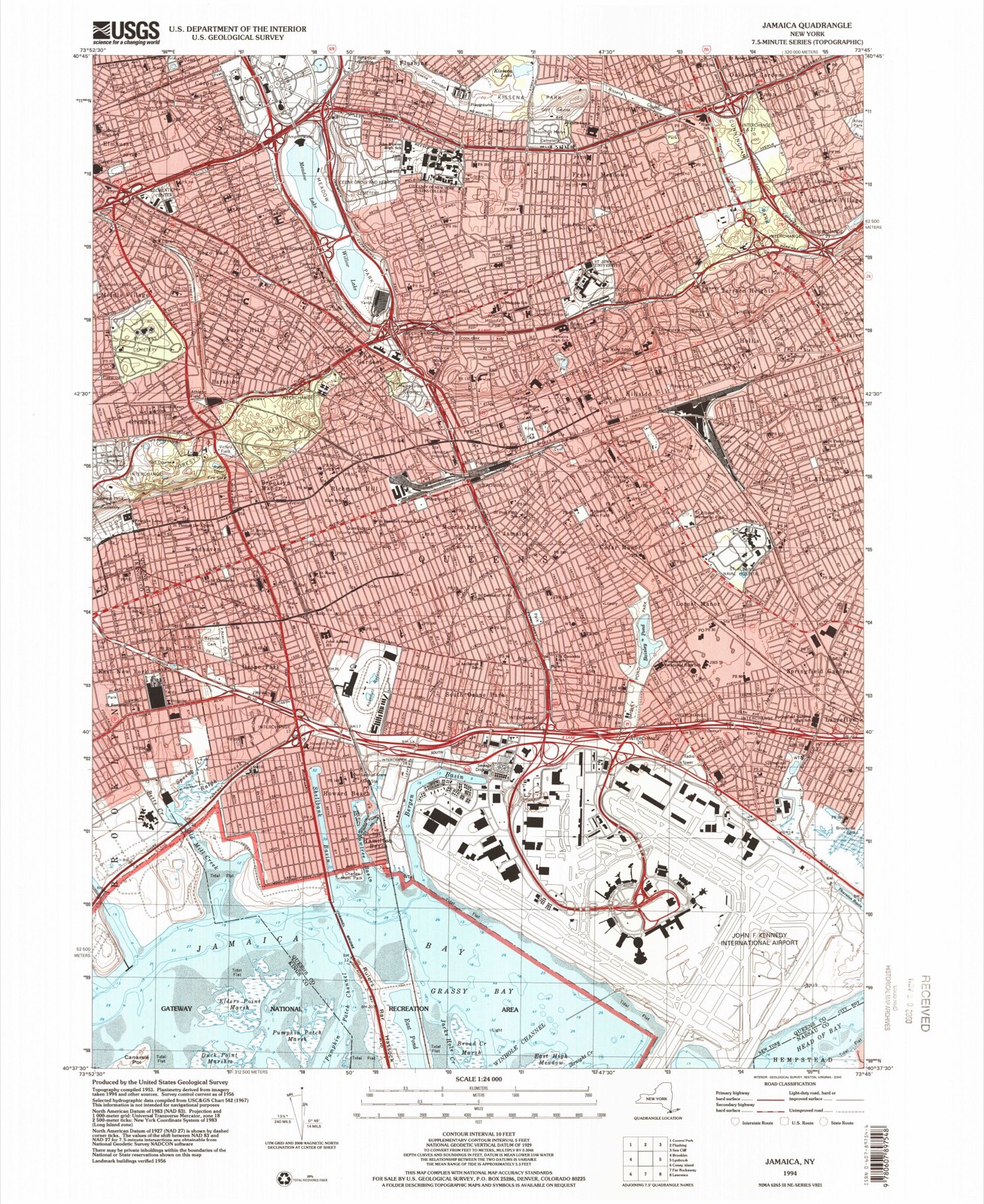
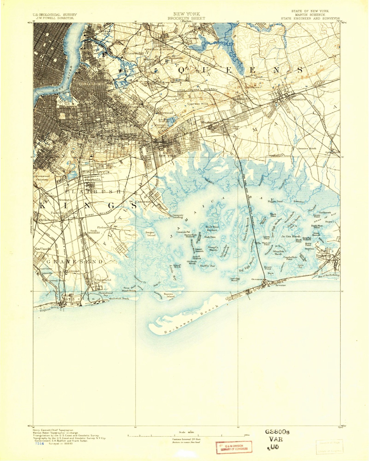
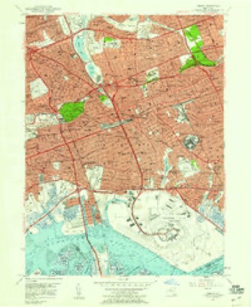
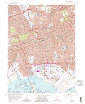
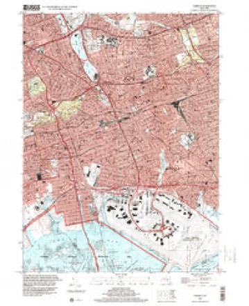
35 topographic sheets cover this place, the earliest surveyed in 1889 and the latest in 1994. It stands in the borough of Queens. It lies in ZIP code area 11418. The Survey maps it on the Jamaica quadrangle.
Then and now
1889 to 1994The same ground, surveyed 105 years apart. Drag the handle to wipe between them. Both sheets are United States Geological Survey originals; neither has been altered.
Compare 1889 against another survey:
On record in Richmond Hill
Buildings and businesses the archive holds for this place. Each opens its own page, with the source record it came from.
On the National Register 2 records
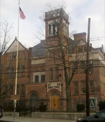 Public School 66listed 2003
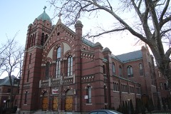 Saint Benedict Joseph Labre Parishlisted 2007
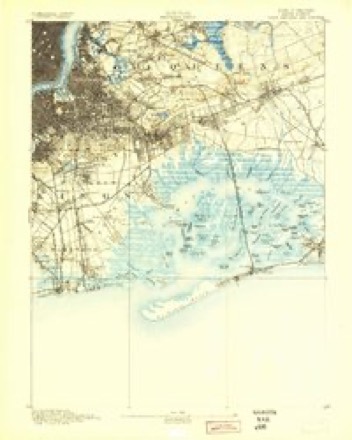
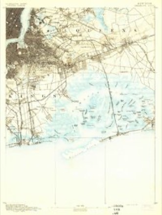
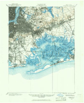
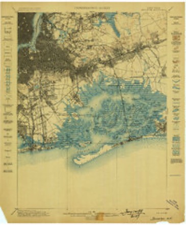
Topographic sheets covering this place
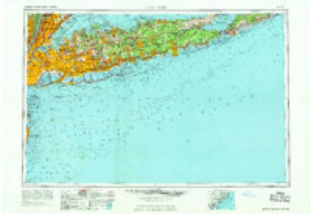
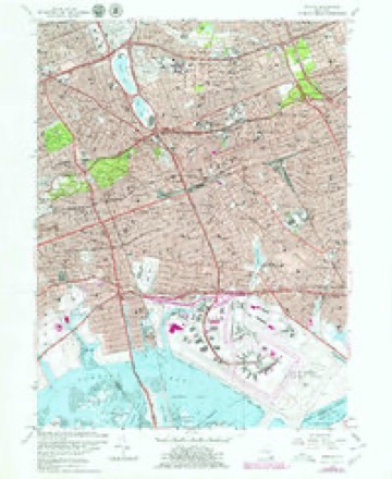
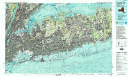
17 surveys from 35 printed sheetsMatched by testing this settlement's coordinate against the published boundary of every sheet in the United States Geological Survey's historical collection. Each opens the scanned sheet at the Survey.
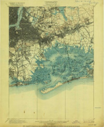
- 1889 USGS Brooklyn quadrangle1:62500
- 1891 USGS Brooklyn quadrangle1:62500
- 1897 USGS Brooklyn quadrangle1:62500, 3 printings
- 1898 USGS Brooklyn quadrangle1:62500
- 1900 USGS Brooklyn quadrangle1:62500, 11 printings
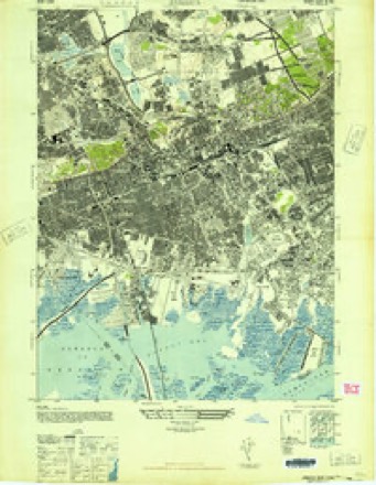
- 1947 USGS Jamaica quadrangle1:24000
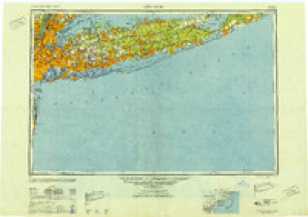
- 1949 USGS New York quadrangle1:250000
- 1954 USGS New York quadrangle1:250000, 2 printings
- 1957 USGS Jamaica quadrangle1:24000
- 1957 USGS New York quadrangle1:250000
- 1958 USGS New York quadrangle1:250000, 3 printings
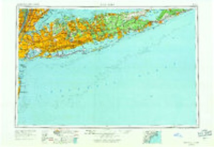
- 1960 USGS New York quadrangle1:250000, 2 printings
- 1966 USGS Jamaica quadrangle1:24000, 2 printings
- 1969 USGS New York quadrangle1:250000
- 1979 USGS Jamaica quadrangle1:24000
- 1984 USGS Long Island West quadrangle1:100000, 2 printings
- 1994 USGS Jamaica quadrangle1:24000
Fires near this place
2,926 since 1992Regional context, not property-specific evidence. The federal wildfire occurrence database lists 2,926 fires within 5 miles of Richmond Hill between 1992 and 2020, burning about 1,362 acres in total. 161 started naturally. 141 were recorded as arson. Distance is straight-line from the map coordinates, so a fire counted here may appear on a neighbouring settlement's page as well.
| Reported cause | Fires |
|---|---|
| Missing data/not specified/undetermined | 2171 |
| Natural | 161 |
| Smoking | 148 |
| Arson/incendiarism | 141 |
| Misuse of fire by a minor | 101 |
| Equipment and vehicle use | 74 |
| Debris and open burning | 74 |
| Recreation and ceremony | 40 |
| Power generation/transmission/distribution | 12 |
| Fireworks | 2 |
| Railroad operations and maintenance | 2 |
The most recent of them, most recent first, with the day each was reported and the service that recorded it.
| Date | Cause | Size | Reported by | Name on the report |
|---|---|---|---|---|
| 9 September 2015 | Missing data/not specified/undetermined | under an acre | Fire Department of New York | NA |
| 9 September 2010 | Arson/incendiarism | under an acre | Fire Department of New York | not named |
| 9 September 2005 | Missing data/not specified/undetermined | under an acre | Fire Department of New York | not named |
| 9 September 2005 | Missing data/not specified/undetermined | under an acre | Fire Department of New York | not named |
| 9 September 2005 | Missing data/not specified/undetermined | under an acre | Fire Department of New York | not named |
| 9 September 2005 | Smoking | under an acre | Fire Department of New York | not named |
| 9 September 2004 | Missing data/not specified/undetermined | under an acre | Fire Department of New York | not named |
| 9 September 2000 | Missing data/not specified/undetermined | 10 acres | Gateway National Recreation Area | FOUNTAIN1 |
Settlements close enough to share some of these fires:
Storms near this place
26 since 1998Regional context, not property-specific evidence. The National Weather Service names Richmond Hill in 26 storm reports between 1998 and 2025: 14 flash flood, 6 thunderstorm wind, 3 lightning, 2 hail. The reports record 7 injuries. Each account below is quoted exactly as the forecast office filed it, from the NOAA Storm Events Database, and each date opens the federal record of that event.
| When | Event | Place named | Harm | What the report says |
|---|---|---|---|---|
| June 1998 | Thunderstorm Wind | Richmond Hill | 3 hurt | no account filed |
| July 2020 | Lightning | Richmond Hill | 2 hurt | Two people were hospitalized after being struck by lightning in Charles Drew Park. |
| August 2004 | Lightning | Richmond Hill | 2 hurt | Two children were struck by lightning at Jamaica Mall. Both were hospitalized with injuries. |
| August 2020 | Thunderstorm Wind | Richmond Hill | $11,000 | Tree on a house at 82-36 Beverly Road. |
| July 2016 | Lightning | Richmond Hill | $10,000 | A home was struck by lightning at 94-54 118th Street just south of Richmond Hill. |
| June 2008 | Thunderstorm Wind | Richmond Hill | $10,000 | Dozens of trees and tree limbs were reported down across Northern Queens including in the Flushing, Astoria, and Corona sections. |
| June 2008 | Thunderstorm Wind | Richmond Hill | $6,000 | Numerous trees were reported down from Richmond Hill to Kew Gardens. |
| August 2025 | Flash Flood | Richmond Hill | - | Intersection closed due to flooding at Van Wyck Expressway and Archer Avenue. |
| September 2021 | Flash Flood | Richmond Hill | - | Water was entering a home in Jamaica, Queens. |
| September 2021 | Flash Flood | Richmond Hill | - | All eastbound lanes of the Grand Central Parkway were closed due to flooding at the Van Wyck Expressway in Jamaica, Queens. |
| August 2021 | Flash Flood | Richmond Hill | - | Tuskegee Airmen Way in Jamaica, Queens was closed due to flooding. |
| August 2017 | Flash Flood | Richmond Hill | - | A portion of the service road for the Van Wyck Expressway was closed due to flooding in Kew Gardens, Queens. In addition, two lanes were blocked due to flooding on the Van Wyck Expressway northbound approaching the Grand Central Parkway. Only one lane remained passable. |
| July 2016 | Flash Flood | Richmond Hill | - | The intersection of 133rd Avenue and 114th Place in South Ozone Park was closed due to flooding. |
| August 2012 | Flash Flood | Richmond Hill | - | All lanes were blocked with several disabled vehicles due to flooding on the eastbound Grand Central Pkwy. at the Kew Gardens Interchange. All lanes were also blocked due to flooding on the northbound Van Wyck Expressway between JFK Federal Circle and the Grand Central Pkwy. |
| August 2012 | Flash Flood | Richmond Hill | - | The westbound Grand Central Pkwy. was closed at the Van Wyck Expy. due to flooding. |
| July 2012 | Hail | Richmond Hill | - | Quarter size hail was reported just west of Jamaica Station. |
| August 2012 | Flash Flood | Richmond Hill | - | The Long Island Expressway at Francis Lewis Blvd. and the Van Wyck Expressway southbound at Hillside Ave. were both closed due to flooding. |
| September 2012 | Flash Flood | Richmond Hill | - | All lanes of the Grand Central Pkwy. were closed at the Van Wyck Expy. due to flooding. |
| September 2010 | Thunderstorm Wind | Richmond Hill | - | A National Weather Service Storm Survey verified the occurance of a macroburst in Queens. The path extended from Middle Village east across Forest Hills.||In Forest Hills, at MacDonald Park, a field of trees were sheared off which completely demolished the park. Many whole trees and large branches were downed in a divergent pattern. This was a clear signature of macroburst wind damage.||The area of the macroburst was bounded by Queens Boulevard and 69th Road to the northeast near the intersection of Yellowstone Boulevard.||Just southwest of the Long Island Expressway along 63rd Avenue and near the intersections of Reeves Avenue and 146th Street, many huge healthy 36 inch diameter trees fell in nearly the same direction in narrow roads. Downed trees destroyed many cars and made entries to houses impassable. Widespread tree damage made many secondary and tertiary roads impassable.||Many whole trees and large branches were downed near Queens College, along Dartmouth Street and in Forest Hills Garden, and along Park Drive East in Kew Garden Hills. |
| July 2009 | Hail | Richmond Hill | - | Penny Size hail was reported in Jamaica. |
| June 2008 | Flash Flood | Richmond Hill | - | Water blocking all lanes eastbound on the Grand Central Parkway at exit 13. |
| June 2008 | Flash Flood | Richmond Hill | - | The Kew Gardens Interchange (where the Van Wyck Expressway, Grand Central Pkwy and Jackie Robinson Pkwy all intersect), was closed in all directions with occupied vehicles stuck in rising water. Mesonet sources in Forest Hills and Rego Park reported storm total rainfall of 2.46 inches and 2.18 inches respectively. |
| June 2008 | Flash Flood | Richmond Hill | - | Occupied vehicles were stuck in rising water at the intersection of Queens Blvd. and the Van Wyck Expressway. |
| April 2007 | Flash Flood | Richmond Hill | - | no account filed |
| September 2006 | Thunderstorm Wind | Richmond Hill | - | no account filed |
| August 2001 | Flood | Richmond Hill | - | no account filed |
Nearest settlements
The eight closest, with where each one stands in the county. Distances are straight-line, computed from the Geographic Names Information System coordinates.
| Map | Place | Distance | Sheets |
|---|---|---|---|
| Brooklyn Manor | 0.9 miles | 35 | |
| Kew Gardens | 1.0 miles | 35 | |
| Morris Park | 1.0 miles | 35 | |
| Forest Hills Gardens | 1.1 miles | 35 | |
| Parkside | 1.3 miles | 35 | |
| Jamaica | 1.5 miles | 35 | |
| Forest Hills | 1.5 miles | 35 | |
| Woodhaven | 1.6 miles | 35 |
Provenance
This settlement is recorded in the Geographic Names Information System as feature 962479. The sheet list is computed by point-in-boundary test against the United States Geological Survey's historical topographic inventory. Both are works of the United States government and carry no copyright under 17 U.S.C. 105.
Wildfire. Short, Karen C. 2022. Spatial wildfire occurrence data for the United States, 1992-2020 [FPA_FOD_20221014]. 6th Edition. Fort Collins, CO: Forest Service Research Data Archive. https://doi.org/10.2737/RDS-2013-0009.6 Collected with United States Government funding and usable without additional permissions or fees.
Storms. NOAA National Centers for Environmental Information, Storm Events Database https://www.ncei.noaa.gov/stormevents/ A work of the United States government, no copyright under 17 U.S.C. 105. Narratives are quoted verbatim from the National Weather Service report and are not edited or summarised.