 Block
BlockWoodhaven, New York
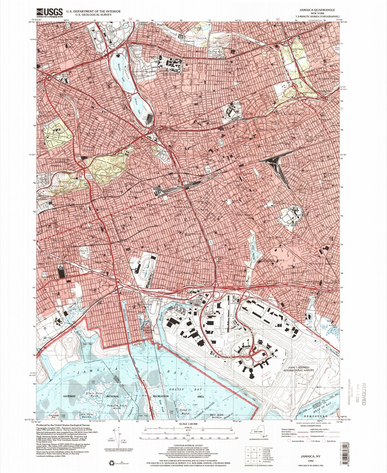
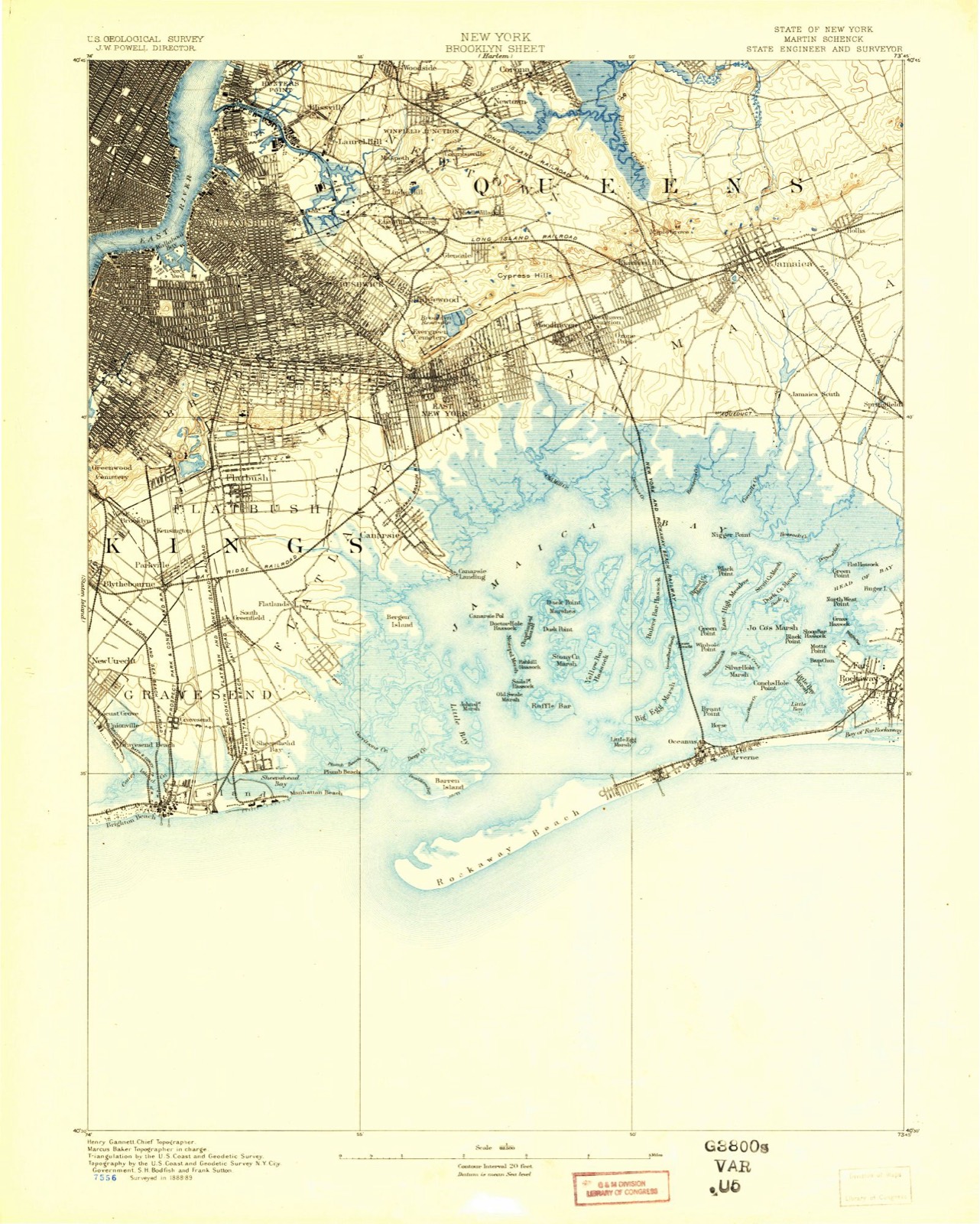
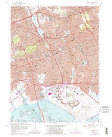
35 topographic sheets cover this place, the earliest surveyed in 1889 and the latest in 1994. It stands in the borough of Queens. It lies in ZIP code area 11421. The Survey maps it on the Jamaica quadrangle.
Research this city
Then and now
1889 to 1994The same ground, surveyed 105 years apart. Drag the handle to wipe between them. Both sheets are United States Geological Survey originals; neither has been altered.
Compare 1889 against another survey:
On record in Woodhaven
Buildings and businesses the archive holds for this place. Each opens its own page, with the source record it came from.
On the National Register 3 records
 Forest Park Carousellisted 2004
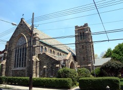 St. Matthew's Episcopal Churchlisted 2001
- Wyckoff-Snediker Family Cemeterylisted 2001
Topographic sheets covering this place
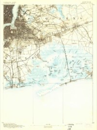
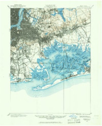
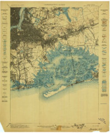
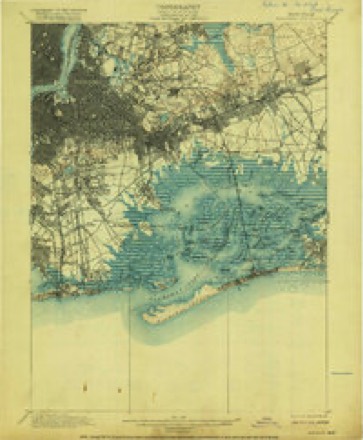
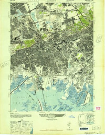
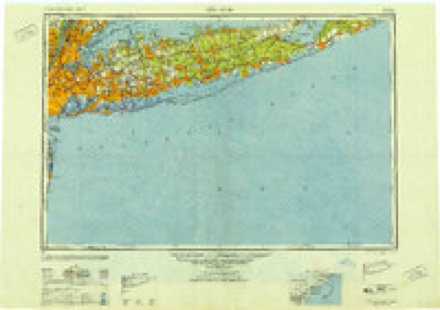
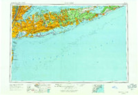
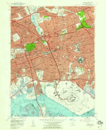
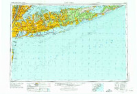
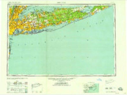
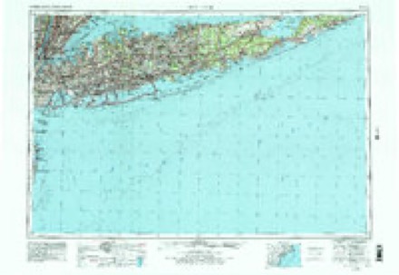
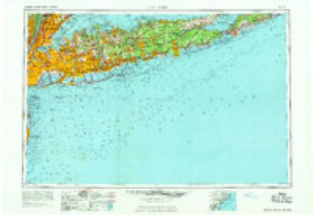
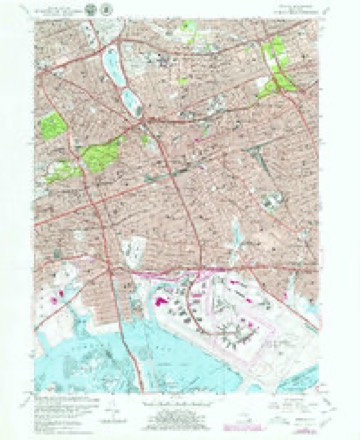
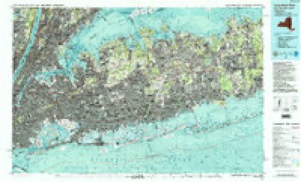
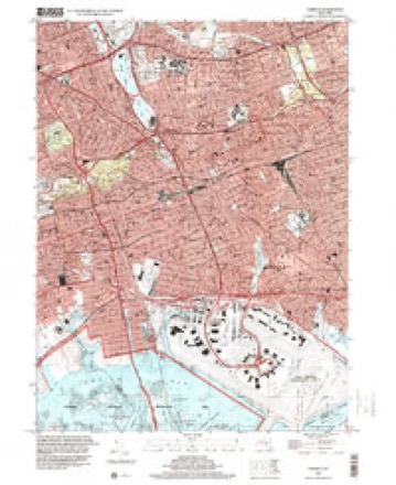
17 surveys from 35 printed sheetsMatched by testing this settlement's coordinate against the published boundary of every sheet in the United States Geological Survey's historical collection. Each opens the scanned sheet at the Survey.
- 1889 USGS Brooklyn quadrangle1:62500
- 1891 USGS Brooklyn quadrangle1:62500
- 1897 USGS Brooklyn quadrangle1:62500, 3 printings
- 1898 USGS Brooklyn quadrangle1:62500
- 1900 USGS Brooklyn quadrangle1:62500, 11 printings
- 1947 USGS Jamaica quadrangle1:24000
- 1949 USGS New York quadrangle1:250000
- 1954 USGS New York quadrangle1:250000, 2 printings
- 1957 USGS Jamaica quadrangle1:24000
- 1957 USGS New York quadrangle1:250000
- 1958 USGS New York quadrangle1:250000, 3 printings
- 1960 USGS New York quadrangle1:250000, 2 printings
- 1966 USGS Jamaica quadrangle1:24000, 2 printings
- 1969 USGS New York quadrangle1:250000
- 1979 USGS Jamaica quadrangle1:24000
- 1984 USGS Long Island West quadrangle1:100000, 2 printings
- 1994 USGS Jamaica quadrangle1:24000
Fires near this place
2,919 since 1992Regional context, not property-specific evidence. The federal wildfire occurrence database lists 2,919 fires within 5 miles of Woodhaven between 1992 and 2020, burning about 1,480 acres in total. 164 started naturally. 149 were recorded as arson. Distance is straight-line from the map coordinates, so a fire counted here may appear on a neighbouring settlement's page as well.
| Reported cause | Fires |
|---|---|
| Missing data/not specified/undetermined | 2163 |
| Natural | 164 |
| Arson/incendiarism | 149 |
| Smoking | 143 |
| Misuse of fire by a minor | 100 |
| Equipment and vehicle use | 82 |
| Debris and open burning | 70 |
| Recreation and ceremony | 33 |
| Power generation/transmission/distribution | 10 |
| Fireworks | 4 |
| Railroad operations and maintenance | 1 |
The most recent of them, most recent first, with the day each was reported and the service that recorded it.
| Date | Cause | Size | Reported by | Name on the report |
|---|---|---|---|---|
| 9 September 2015 | Missing data/not specified/undetermined | under an acre | Fire Department of New York | NA |
| 9 September 2010 | Arson/incendiarism | under an acre | Fire Department of New York | not named |
| 9 September 2005 | Missing data/not specified/undetermined | under an acre | Fire Department of New York | not named |
| 9 September 2005 | Missing data/not specified/undetermined | under an acre | Fire Department of New York | not named |
| 9 September 2005 | Missing data/not specified/undetermined | under an acre | Fire Department of New York | not named |
| 9 September 2005 | Smoking | under an acre | Fire Department of New York | not named |
| 9 September 2004 | Missing data/not specified/undetermined | under an acre | Fire Department of New York | not named |
| 9 September 2000 | Missing data/not specified/undetermined | 10 acres | Gateway National Recreation Area | FOUNTAIN1 |
Settlements close enough to share some of these fires:
Storms near this place
33 since 2006Regional context, not property-specific evidence. The National Weather Service names Woodhaven in 33 storm reports between 2006 and 2024: 19 thunderstorm wind, 10 flash flood, 2 hail, 2 flood. No death or injury is recorded in these reports. Each account below is quoted exactly as the forecast office filed it, from the NOAA Storm Events Database, and each date opens the federal record of that event.
| When | Event | Place named | Harm | What the report says |
|---|---|---|---|---|
| June 2024 | Thunderstorm Wind | Woodhaven | $10,000 | Tree down on house with structural damage near 79th Street and Penelope Avenue. |
| June 2008 | Thunderstorm Wind | Woodhaven | $6,000 | Numerous trees were reported down from Glendale to Maspeth. |
| June 2008 | Thunderstorm Wind | Woodhaven | $6,000 | Numerous trees were reported down from Forest Park to Forest Hills. |
| June 2021 | Thunderstorm Wind | Woodhaven | $5,000 | Trees reported down across Queens with tree service requested. |
| July 2009 | Thunderstorm Wind | Woodhaven | $2,500 | Wires and large tree limbs were reported down at the intersection of Pitkin Avenue and Hawtree Street. |
| August 2012 | Thunderstorm Wind | Woodhaven | $2,000 | Multiple power lines were downed across Middle Village that created numerous power outages. |
| June 2017 | Thunderstorm Wind | Woodhaven | $1,250 | A tree fell on a road in Forest Hills. |
| July 2021 | Thunderstorm Wind | Woodhaven | $1,000 | Tree down on the Jackie Robinson Parkway near Exit 4. Road is closed and Fire Department is on scene. |
| July 2021 | Thunderstorm Wind | Woodhaven | $1,000 | Tree reported down on 95th Avenue. |
| June 2008 | Thunderstorm Wind | Woodhaven | $1,000 | A two foot diameter tree was downed. |
| September 2021 | Flash Flood | Woodhaven | - | A basement was flooded in Howard Beach, Queens. |
| August 2021 | Flash Flood | Woodhaven | - | A car was stalled in high water on Woodhaven Boulevard in Rego Park, Queens. |
| July 2019 | Flash Flood | Woodhaven | - | In Howard Beach, 95th Street was closed due to flooding between 159th Avenue and 160th Avenue. |
| July 2016 | Flash Flood | Woodhaven | - | A car was stranded in high water due to flooding at 1622 Cross Bay Boulevard in Howard Beach. |
| June 2014 | Flash Flood | Woodhaven | - | The intersection of 110th St. and 70th Rd. in Forest Hills was impassable and closed due to flooding. |
| April 2014 | Flood | Woodhaven | - | Heavy rain coinciding with high tide on the Atlantic Ocean caused 79th St. in Howard Beach to become flooded and impassable. Two feet of water was estimated to be covering the road. A car was also submerged in flood waters on 78th St. between 155th and 156th Avenues. Tides were astronomically high due to a new moon on April 29. Storm total rainfall amounts reported across the county ranged from 4.96 inches at John F. Kennedy International Airport to 5.98 inches in Middle Village. |
| August 2012 | Flash Flood | Woodhaven | - | In Richmond Hill, the intersection of 86th Ave. and 110th St. was impassable due to two ft. of standing water. |
| August 2012 | Flash Flood | Woodhaven | - | The Grand Central Pkwy eastbound was closed at the Kew Gardens Interchange due to flooding. |
| August 2011 | Flood | Woodhaven | - | The Belt Parkway in South Ozone Park was closed due to flooding. The Van Wyck Expressway at the Grand Central Pkwy. in Kew Gardens was also closed due to flooding. |
| September 2010 | Thunderstorm Wind | Woodhaven | - | Trees were downed near Crown Heights. |
| September 2010 | Thunderstorm Wind | Woodhaven | - | Large tree limbs were downed on power lines. |
| September 2010 | Thunderstorm Wind | Woodhaven | - | Multiple large trees and wires were downed with several roads blocked. Multiple trees were also downed on houses. The siding of a church was torn off. |
| September 2010 | Thunderstorm Wind | Woodhaven | - | Trees were downed on Metropolitan Avenue. |
| September 2010 | Thunderstorm Wind | Woodhaven | - | On 108th Street facing Queens Boulevard, a patio door blew in on the 15th floor terrace. There were 15 smashed windows in the building. Roof vents were torn off and metal patio railing was pulled off. |
| September 2010 | Thunderstorm Wind | Woodhaven | - | An 80 foot tree was downed on a house. |
| September 2010 | Thunderstorm Wind | Woodhaven | - | A roof was blown off of a building and into another building on Burns Street. |
| September 2010 | Thunderstorm Wind | Woodhaven | - | Extensive tree damage was reported at MacDonald Park. |
| July 2009 | Hail | Woodhaven | - | Penny size hail was reported in Howard Beach. |
| June 2008 | Flash Flood | Woodhaven | - | Occupied vehicles were stuck in rising water at the intersection of Union Tpke. and Woodhaven Blvd. |
| June 2008 | Flash Flood | Woodhaven | - | Occupied vehicles were stuck in rising water at the intersection of Cooper Ave. and 72nd St. |
| June 2008 | Flash Flood | Woodhaven | - | Several feet of water flooded roadways and nearby basements of as many as 20 homes near the intersection of 85th St. and 77th Ave. |
| July 2006 | Thunderstorm Wind | Woodhaven | - | As a line of severe thunderstorms moved east across the area, it produced high winds that downed trees in Flatbush and Ozone Park. |
| August 2012 | Hail | Woodhaven | - | no account filed |
Nearest settlements
The eight closest, with where each one stands in the county. Distances are straight-line, computed from the Geographic Names Information System coordinates.
| Map | Place | Distance | Sheets |
|---|---|---|---|
| Brooklyn Manor | 0.7 miles | 35 | |
| Ozone Park | 1.1 miles | 35 | |
| Parkside | 1.5 miles | 35 | |
| Richmond Hill | 1.6 miles | 35 | |
| Glendale | 1.7 miles | 37 | |
| Forest Hills | 1.9 miles | 35 | |
| Forest Hills Gardens | 2.0 miles | 35 | |
| Fresh Pond Junction | 2.1 miles | 37 |
Provenance
This settlement is recorded in the Geographic Names Information System as feature 971633. The sheet list is computed by point-in-boundary test against the United States Geological Survey's historical topographic inventory. Both are works of the United States government and carry no copyright under 17 U.S.C. 105.
Wildfire. Short, Karen C. 2022. Spatial wildfire occurrence data for the United States, 1992-2020 [FPA_FOD_20221014]. 6th Edition. Fort Collins, CO: Forest Service Research Data Archive. https://doi.org/10.2737/RDS-2013-0009.6 Collected with United States Government funding and usable without additional permissions or fees.
Storms. NOAA National Centers for Environmental Information, Storm Events Database https://www.ncei.noaa.gov/stormevents/ A work of the United States government, no copyright under 17 U.S.C. 105. Narratives are quoted verbatim from the National Weather Service report and are not edited or summarised.