 Block
From the record
12 National Register listings published here.
Sources: the National Register database, National Park Service
24 topographic sheets and 24 fire insurance atlases across 6 places.
12 National Register listings published here.
Sources: the National Register database, National Park Service
Every property in this county listed on the National Register of Historic Places, with the year it was listed and the federal nomination document.
| Photograph | Property | Type | Listed | Reference |
|---|---|---|---|---|
 | Alfalfa County Courthouse | building | 1984 | 84002937 |
| Aline IOOF Lodge No. 263 | building | 1984 | 84002941 | |
| Carmen IOOF Home | building | 1984 | 84002944 | |
| Carmen IOOF Lodge No. 84 | building | 1984 | 84002948 | |
| Cherokee Armory | building | 1988 | 88001371 | |
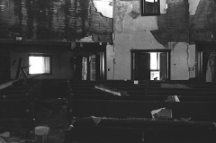 | Cherokee Friends Church | building | 2004 | 04001337 |
| Cherokee IOOF Lodge No. 219 | building | 1984 | 84002953 | |
| Farmers' Exchange Elevator | structure | 1983 | 83004152 | |
| Farmers' Federation Elevator | structure | 1983 | 83004153 | |
| Hotel Cherokee | building | 1998 | 98000200 | |
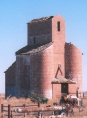 | Ingersoll Tile Elevator | structure | 1983 | 83004156 |
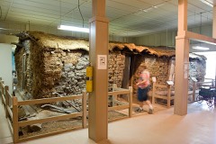 | Sod House | building | 1970 | 70000526 |
Drawn when these were printed as single large sheets: the town seen from the air, and the county divided into its farms with every owner named. Each opens the original at the Library of Congress.
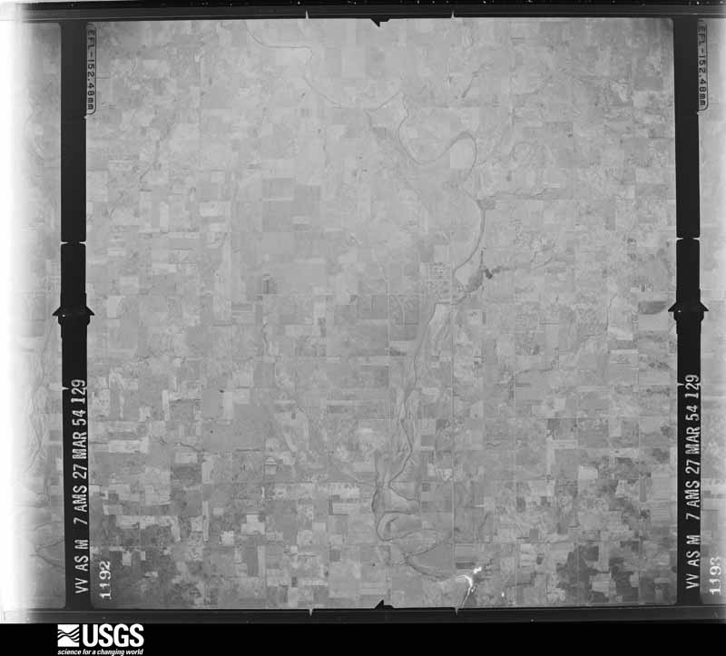
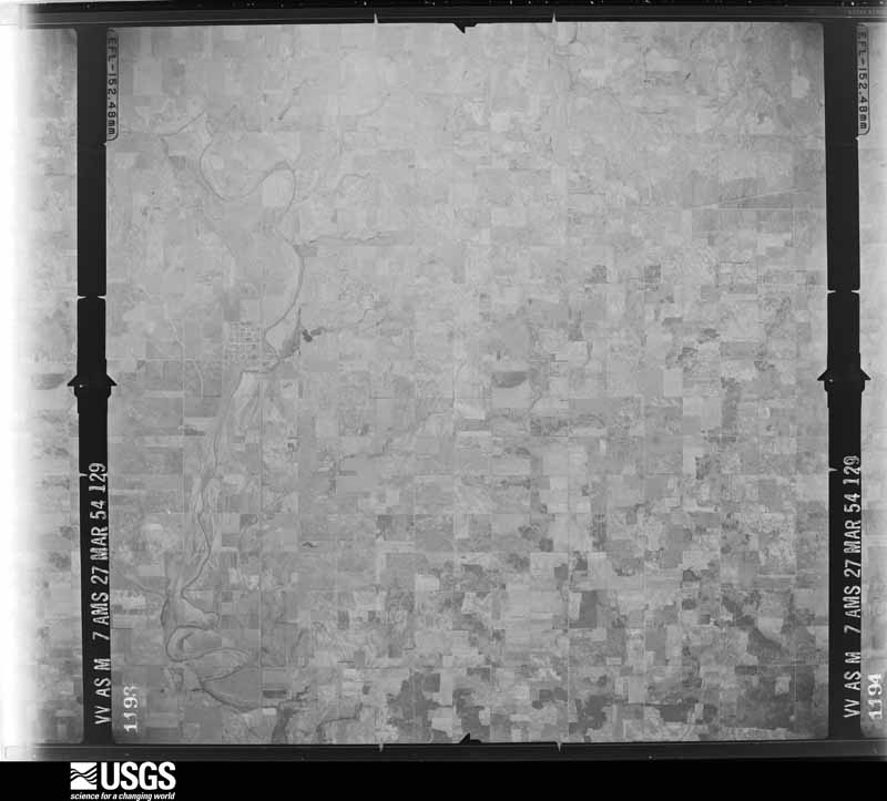
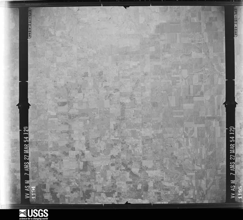
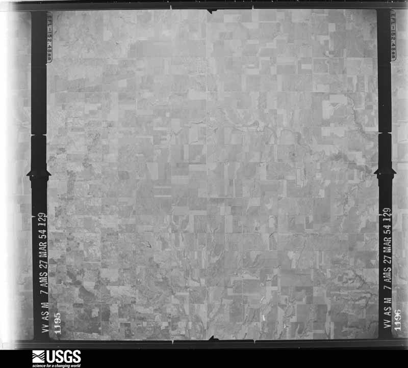
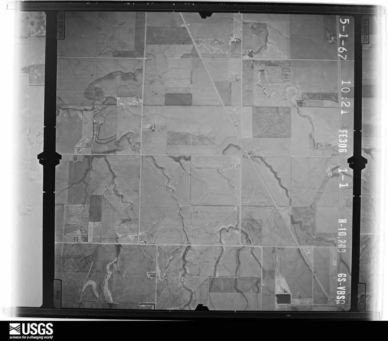
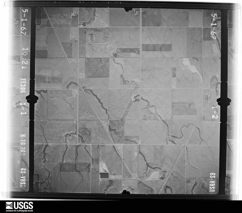
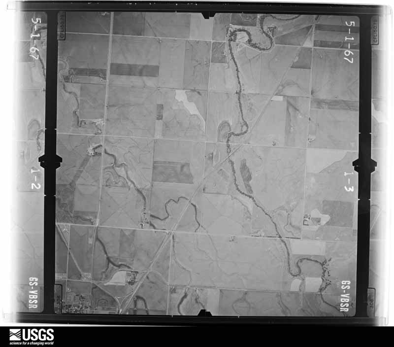
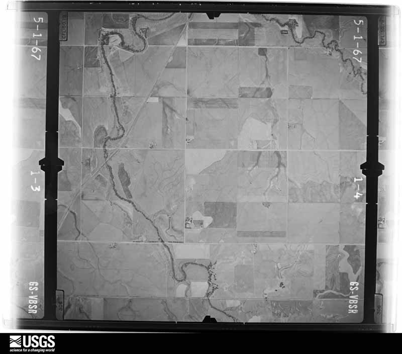
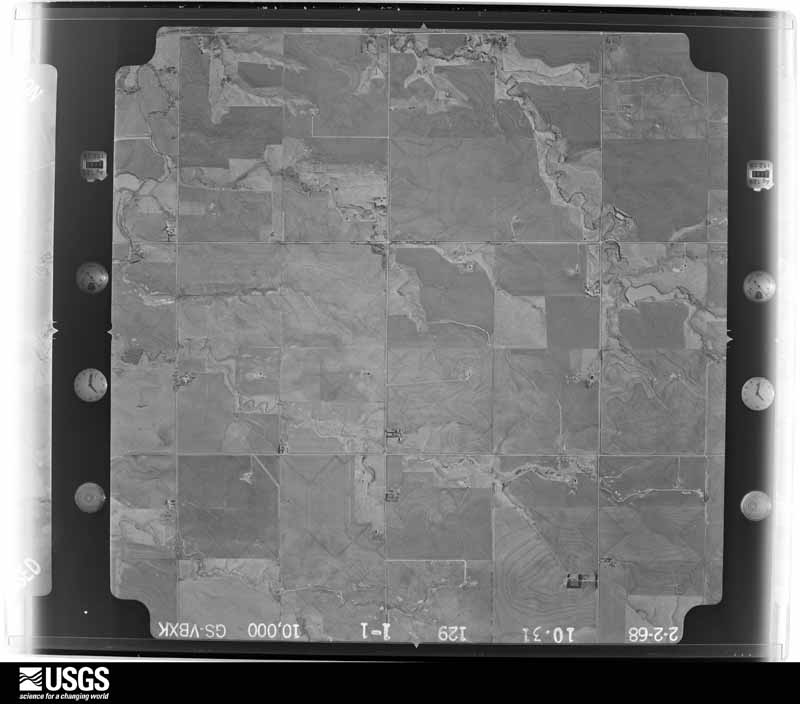
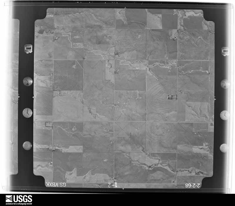
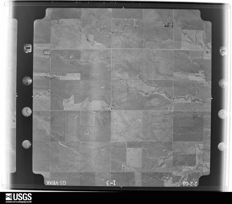
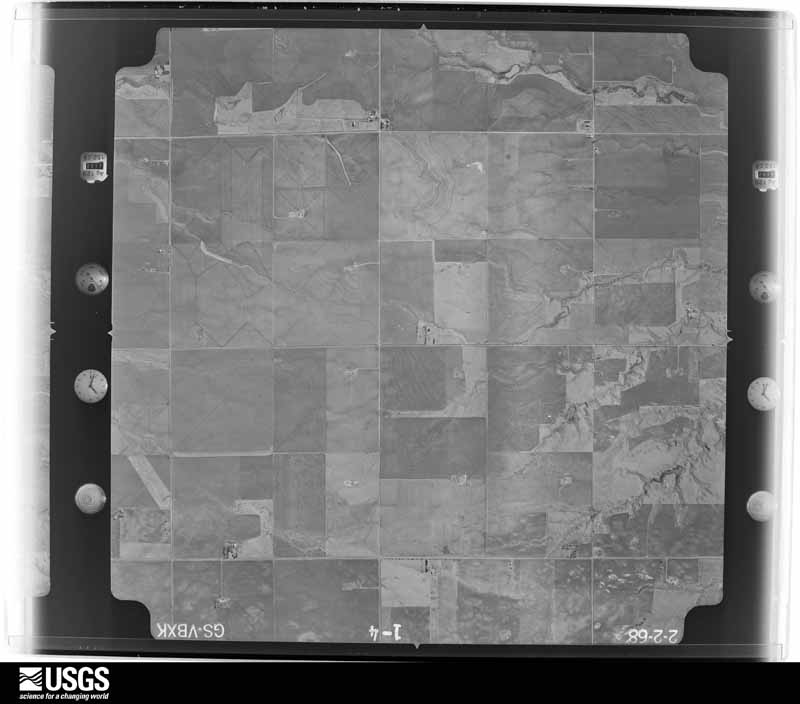
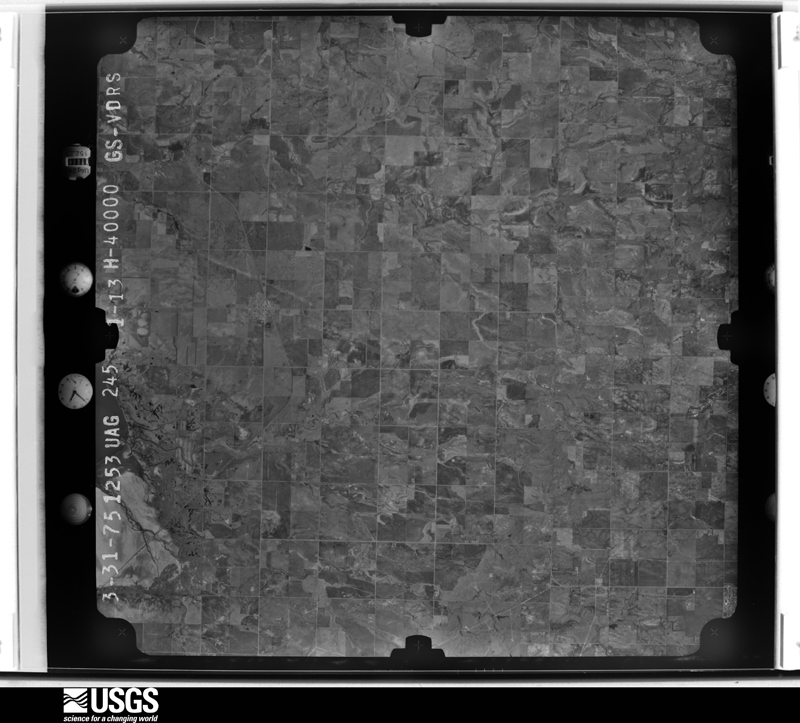
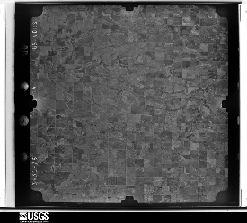
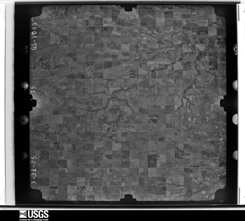
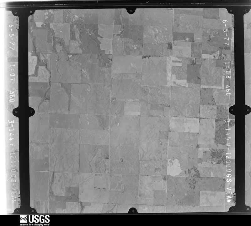
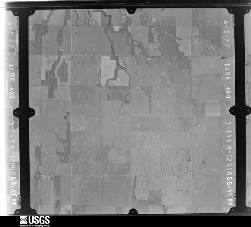
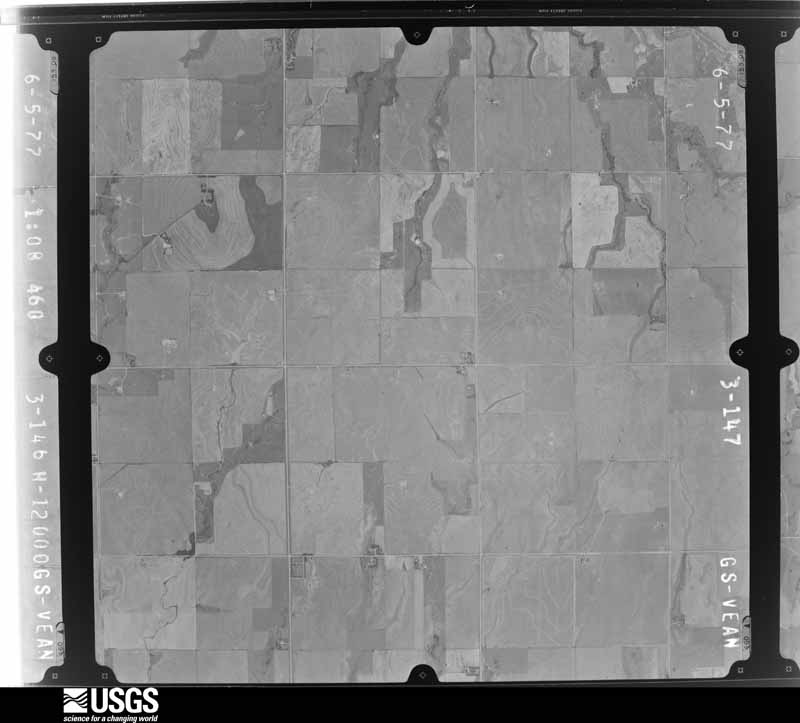
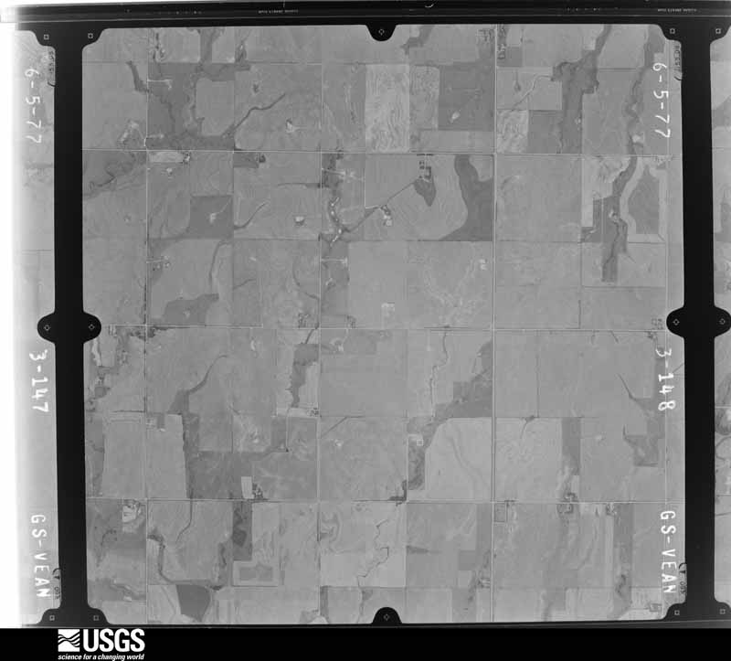
Flown by the U.S. Geological Survey between 1937 and 1989, the Aerial Photo Single Frames collection is the definitive mid-century view of the land: fields, roads and rivers as the camera saw them. The Survey holds 367 frames inside the rectangle that bounds this county; the 19 frames below were taken over the county itself, chosen across the decades of flights (at most four a year from that rectangle), so one flight cannot crowd out the rest. The full set is free to browse and download at EarthExplorer under the dataset Aerial Photo Single Frames.
The thermometers that kept this county's weather, and the gages that measured the flow of its streams, as the federal records hold them. The extremes below are measured values from those records, not estimates.
Who lived here in 1950, one enumeration district at a time, as the Census Bureau described each district. Each row opens its official National Archives result, with Population Schedules and ED Maps available there.
Every wildfire the federal occurrence database records inside this county: 37 of them, burning about 10,021 acres. 2 started naturally and none was recorded as arson. Each settlement page carries the fires within five miles of it.
| Reported cause | Fires |
|---|---|
| Missing data/not specified/undetermined | 12 |
| Debris and open burning | 10 |
| Equipment and vehicle use | 9 |
| Natural | 2 |
| Smoking | 2 |
| Recreation and ceremony | 1 |
| Other causes | 1 |
The five largest, by the area the report gives. None of them was recorded as arson.
| Date | Cause | Size | Reported by | Name on the report |
|---|---|---|---|---|
| 25 February 2008 | Missing data/not specified/undetermined | 5,015 acres | Salt Plains National Wildlife Refuge | BYRON |
| 4 April 2016 | Missing data/not specified/undetermined | 2,400 acres | Oklahoma Division of Forestry | AMORITA |
| 17 June 2020 | Missing data/not specified/undetermined | 1,528 acres | Oklahoma Division of Forestry | OSAGE 43 |
| 14 April 1998 | Debris and open burning | 360 acres | Salt Plains National Wildlife Refuge | NORTH |
| 4 April 2018 | Debris and open burning | 200 acres | Salt Plains National Wildlife Refuge | JET FIRE |
| 8 November 1993 | Equipment and vehicle use | 125 acres | Salt Plains National Wildlife Refuge | C-4 |
| 28 January 1997 | Equipment and vehicle use | 80 acres | Salt Plains National Wildlife Refuge | COONTZ |
| 20 June 2011 | Debris and open burning | 80 acres | Salt Plains National Wildlife Refuge | JET REC |
Every settlement page carries the fires within five miles of it - see the settlement index below.
The NOAA Storm Events Database holds 673 reports for this county, causing no deaths, 8 injuries and about $6,685,700 in recorded property damage. Each settlement page carries the reports that name it.
| Kind of event | Reports |
|---|---|
| Hail | 343 |
| Thunderstorm Wind | 244 |
| Tornado | 53 |
| Flash Flood | 26 |
| Lightning | 2 |
| Heavy Rain | 2 |
| Funnel Cloud | 1 |
| Flood | 1 |
| High Wind | 1 |
The most serious of them, by death, then injury, then recorded damage. The accounts are quoted exactly as the forecast office filed them.
| When | Event | Place named | Harm | What the report says |
|---|---|---|---|---|
| April 1973 | Tornado (F2) | not stated | 6 hurt, $250,000 | no account filed |
| October 1998 | Flash Flood | Countywide | 1 hurt | no account filed |
| August 1985 | Thunderstorm Wind | not stated | 1 hurt | no account filed |
| September 2008 | Flash Flood | Burlington | $1,800,000 | Highway 8/58 was closed due to water over the roadway. Numerous homes and businesses had water up to the front entryways. At least 100 homes suffered minor water damage. Monetary damages were estimated. |
| June 2008 | Thunderstorm Wind | Cherokee | $500,000 | Widespread damage occurred as a result of very strong winds that moved through Alfalfa county. Several silos at the Alfalfa County Feeders were destroyed. Three hundred thousand bushels of corn was destroyed inside the silos. Several outbuildings were destroyed and numerous homes sustained minor roof damage from Cherokee to Ingersol. Widespread tree damage was reported. Several 100-foot douglas fur utility poles and power lines were blown down on US Highway 64, causing it to be closed for a short period of time. Monetary damages were estimated. |
| March 2026 | Tornado (EF2) | Helena | $400,000 | This tornado developed about 4 miles west-southwest of Helena, or about a mile southeast of the community of McWillie. This tornado moved generally northeast although there was some variability in motion as it moved north of Helena and then south and east of Jet. Power poles were damaged as the tornado crossed State Highway 45 and areas west of Helena. Significant damage was observed along State Highway 58 north of Helena where a number of power poles were broken along a mile stretch of SH-58, and at least three barns were destroyed (EF2) both along SH-58 and east of SH-58 on E0300 Road. The tornado continued to produce tree and power pole damage as it moved northeast. Power poles were broken east of Jet along N2740 Road and along U.S. Highway 64 on both sides of the Alfalfa-Grant County line. The tornado then moved into Grant County with the centerline crossing the county line just north of U.S. 64. |
| August 2006 | Thunderstorm Wind | Cherokee | $400,000 | Several severe thunderstorms caused strong winds from mid- afternoon into the evening hours. Wind gusts reached as high as 69 knots (80 mph). The strong wind gusts caused widespread damage across the town of Cherokee. Numerous power poles and lines were downed which resulted in all the residents of Cherokee having no power for a time. A hangar at the Cherokee Municipal Airport received heavy damage to the roof and several walls. A few planes were also damaged. The debris was said to have traveled several hundred yards across the runways. Several plate-glass windows were also blown out at the local Chevrolet dealership. Numerous trees and tree limbs were downed. Road signs were also blown over. |
| June 2008 | Thunderstorm Wind | Cherokee | $350,000 | Estimated winds of at least 80 mph were reported in Cherokee. Numerous trees and power lines were blown down, causing 5,000-6,000 people in and around Cherokee to be without power. High voltage transmission structures and power lines were downed north of Cherokee. Five to six barns sustained major damage, with another barn in Ingersol destroyed. Monetary damages were estimated. |
| March 1991 | Tornado (F2) | not stated | $250,000 | no account filed |
| September 1985 | Tornado (F2) | not stated | $250,000 | no account filed |
| May 1983 | Tornado (F2) | not stated | $250,000 | no account filed |
| April 1969 | Tornado (F2) | not stated | $250,000 | no account filed |
| May 1962 | Tornado (F2) | not stated | $250,000 | no account filed |
| April 1956 | Tornado (F3) | not stated | $250,000 | no account filed |
| June 2025 | Thunderstorm Wind | Burlington | $100,000 | A swath of significant thunderstorm wind damage continued into portions of northwestern and north-central Alfalfa County on the early morning of the 7th. Multiple residences in the community of Burlington reported tree damage, including large limbs blown down with several smaller trees uprooted. Along Oklahoma Highway 8, between the communities of Cherokee and Driftwood, a large, uprooted tree landed on a house and multiple power poles were snapped, with one landing on the corner of a mobile home. Additional damage continued along the Oklahoma Highway 11 corridor northeast of the community of Cherokee. In addition to tree damage, a metal carport was vaulted and landed on the corner of a house and the bay doors of a large metal storage building were blown in. The damage path is estimated, with additional thunderstorm wind damage likely continuing eastward through the county, on the north side of the Salt Plains National Wildlife Refuge. The event time is estimated from radar observations. Damage photos were relayed courtesy of the Oklahoma Department of Emergency Management. |
| May 2012 | Thunderstorm Wind | Carmen | $100,000 | Widespread damage reported in Carmen. Three foot diameter tree limbs down with loss of electricity to most of the town. Damages are estimated. |
| June 2008 | Thunderstorm Wind | Cherokee | $75,000 | Several rooftops were severely damaged in Cherokee. At least ten barns had roofs blown off extending from Cherokee to ten miles north. Monetary damages were estimated. |
| April 2002 | Tornado (F2) | Carmen | $75,000 | This tornado is a continuation of the tornado that developed in Major County and moved through Woods County. The tornado tracked for another 15 miles in Alfalfa County before dissipating 2 miles southwest of Ingersoll. As the tornado entered Alfalfa County, damage was sustained to outbuildings, trees and power lines, along State Highway 45 to the west of Carmen. Large trees were uprooted or snapped, and a windmill was destroyed along EW 25 Road to the east of NS 253 Road, or about 4.5 miles southwest of Lambert. Along the west side of NS 255 Road, between EW 23 Road and EW 22 Road (about 2.5 miles west of Lambert), a barn roof was removed as was the west section of the barn. Numerous power poles were snapped along EW 22 Road in a ½ mile area to the east of NS 255 Road. Several high-tension power poles were damaged or destroyed west of NS 256 Road and south of EW 21 Road. Significant tree damage and a couple of destroyed outbuildings were observed at the northeast corner of EW 20 and NS 256 Roads, about 5.5 miles southwest of Cherokee. The tornado continued north-northeast with the last damage observed along EW 17 Road just east of NS 257 Road, 2 miles southwest of Ingersoll, or about 4 miles west-northwest of Cherokee.In total, the tornado persisted for 62 minutes and traveled 34 miles. |
| July 2000 | Thunderstorm Wind | Cherokee | $75,000 | The roof sustained damage at Cherokee Station and Jiffy Trip. A sign was damaged at Cherokee Inn. Corrals were blown over at Wilson's, and storage buildings and fences were downed. |
| August 1997 | Thunderstorm Wind | Burlington | $75,000 | A combination of severe thunderstorm winds estimated at 80 mph and 2-inch hail blew out nearly all of the north-facing windows at the Alfalfa County School. Damage to the school was estimated at $25,000, but no injuries occurred since the students and teachers had moved to a storm shelter. Throughout the town of Burlington, trees up to 10 inches in diameter were blown over, power lines were blown down, and numerous homes received roof and window damage from the wind and hail. |
| October 2002 | Flash Flood | Cherokee | $60,000 | Four homes received minor damage from high water. Two vehicles were pulled out of high water, and State Highway 8 was closed due to high water. |
| April 1999 | Tornado (F1) | Cherokee | $60,000 | no account filed |
| October 1998 | Tornado (F2) | Carmen | $55,000 | no account filed |
| April 1999 | Flash Flood | North Portion | $50,000 | no account filed |
| May 1995 | Tornado (F2) | Dacoma | $50,000 | no account filed |
| June 2025 | Thunderstorm Wind | Lambert | $25,000 | A relayed image courtesy of the Oklahoma Department of Emergency Management shows a large tree snapped in half, landing on an adjacent carport. The event time is estimated from radar observations. |
| July 2000 | Thunderstorm Wind | Yewed | $25,000 | An empty grain elevator was blown over. |
| June 1997 | Thunderstorm Wind | Byron | $25,000 | A trailer house, wooden barn, and small metal barn were destroyed. |
| June 1999 | Flash Flood | Countywide | $25,000 | no account filed |
| May 1999 | Thunderstorm Wind | Ingersoll | $25,000 | no account filed |
| May 1986 | Tornado (F1) | not stated | $25,000 | no account filed |
| June 1984 | Tornado (F1) | not stated | $25,000 | no account filed |
| September 1981 | Tornado (F1) | not stated | $25,000 | no account filed |
| October 1961 | Tornado | not stated | $25,000 | no account filed |
| June 1955 | Tornado (F1) | not stated | $25,000 | no account filed |
| June 2025 | Tornado (EF1) | Great Salt Plains Lake Dam | $20,000 | A hay barn was destroyed near the intersection of County Roads E0210 and N2740. |
| June 2017 | Thunderstorm Wind | Driftwood | $20,000 | Sheriff's department reported some minor structural damage across the county including a mobile home with the roof removed in Burlington, 3 homes that sustained minor damage in Amorita, one home with minor damage in Byron, and another mobile home with minor damage in the eastern portion of the county. Tree limbs are down all across Cherokee. Time of occurrence based on radar ranged from shortly before 1am in the western part of the county to around 130am in the eastern part of the county. |
| June 2008 | Thunderstorm Wind | Cherokee | $20,000 | Numerous power lines were downed on 5th Street. A barn was also damaged in the town of Driftwood. The report was relayed by KOCO-5 TV. Monetary damages were estimated. |
| August 2006 | Thunderstorm Wind | Cherokee | $20,000 | Power lines were downed. A wall of an old car wash was also blown in. |
| July 2000 | Thunderstorm Wind | Helena | $20,000 | Power poles were downed, and structural damage was sustained to numerous buildings. |
| July 2000 | Lightning | Ingersoll | $20,000 | Lightning struck an oil tank 3 miles west of Ingersoll, causing it to explode. |
| August 2006 | Thunderstorm Wind | Cherokee | $15,000 | A well constructed barn was destroyed. |
| March 2000 | Thunderstorm Wind | Cherokee | $15,000 | Winds estimated at 80 mph overturned a truck, destroyed a fence, and downed trees on South Florida Ave. A building at a nearby high school was also damaged. |
| May 2000 | Tornado (F1) | Carmen | $15,000 | This tornado, rated F1, touched down about 5 miles east of Carmen about ½ mile south of the intersection of EW29 Road and NS260 Road in Alfalfa County where scattered damage to trees was observed. At the intersection of EW29 Road and NS260 Road, very large limbs, some a foot or more in diameter, were blown off dozens of trees, while numerous other trees were pushed over. There was also damage to an oil storage tank made of metal. A telephone pole at the intersection was recently replaced and is assumed to have been downed during the tornado. A west to east chain link fence approximately 100 to 200 feet long was also downed southward. Major tree damage was then observed at a property about ½ mile northeast of this location with many trees laying in a westward direction. A well-designed brick home near the trees, lost dozens perhaps hundreds of shingles, especially on the west side of the house. About 1 mile northeast of this location another house sustained a broken window on the north side of the house and minor roof damage, consisting mostly of missing roof shingles. Metal siding was partially peeled back from a nearby storage barn, and a medium-aged pine tree on the west side of the house was snapped halfway to the top. Near the intersection of EW27 Road and NS262 Road damage was observed to 2 metal barns. One barn had sheet metal peeled back on the roof and west and east sides. The roof of a storage building was also blown off in an eastward direction and left nearly intact on the ground. About ½ to 1 mile north and east of this location a poorly constructed barn sustained minor roof and west-side wall damage, while another barn constructed of metal had its 2 west-facing doors blown inward and partially detached from its hinges. Continuing northward trees sustained major damage, and a grain storage silo was tossed a short distance eastward from its original location. The last area of damage was observed about ½ mile north of US Highway 64 on NS264 Road where 4 pieces of sheet metal were blown off a storage barn. |
| July 2000 | Thunderstorm Wind | Cherokee | $15,000 | A building sustained damage at Western Farmers Cooperative Electric. |
| April 1999 | Thunderstorm Wind | Ingersoll | $15,000 | no account filed |
| June 2025 | Tornado (EF0) | Jet | $10,000 | A tornado damaged a barn in southeastern Alfalfa County along County Road E0230 to the west of County Road N2740. The tornado moved northeast for about 2 miles. |
| July 2024 | Thunderstorm Wind | Carmen | $10,000 | Multiple power poles with varying degrees of thunderstorm wind damage, including a few that were snapped. Time is radar estimated. |
| February 2023 | Tornado (EF0) | Amorita | $10,000 | A tornado northwest of Amorita significantly damaged a barn. This tornado may have persisted longer, but no additional damage was observed in this very rural area. |
| July 2020 | Thunderstorm Wind | Goltry | $10,000 | Significant structure damage to a bar in Goltry. |
| May 2018 | Thunderstorm Wind | Cherokee | $10,000 | Wall of a building blown down on the north side of Cherokee. Window blown out of another building in town. Tree limbs and power lines down. Time of occurrence estimated by radar. |
| August 2014 | Thunderstorm Wind | Jet | $10,000 | Significant damage to an old brick building and several downed power lines. |
| August 1997 | Thunderstorm Wind | Cherokee | $10,000 | Severe winds estimated at 60 mph ahead of a thunderstorm overturned an empty cattle tractor trailer. |
| August 1997 | Thunderstorm Wind | Ingersoll | $10,000 | Severe thunderstorm winds blew an empty cattle tractor-trailer over into a ditch. |
| August 1999 | Lightning | Carmen | $10,000 | no account filed |
| April 1999 | Thunderstorm Wind | Amorita | $10,000 | no account filed |
| May 1998 | Flash Flood | Cherokee | $10,000 | no account filed |
| September 2011 | Thunderstorm Wind | Carmen | $8,000 | Six power poles were snapped. Monetary damages were estimated. |
| May 2008 | Thunderstorm Wind | Great Salt Plains Lake Dam | $8,000 | Numerous trees were downed three miles south of the intersections of Highways 11 and 38. Monetary damages were estimated. |
| April 2001 | Thunderstorm Wind | Burlington | $8,000 | Eight light poles and numerous cedar trees were downed. A hay barn and pole shed were also destroyed. |
The Survey's mineral resources record lists 31 workings inside this county. 3 still produce and 28 are closed or unrecorded. Each settlement page carries the workings within five miles of it.
| Commodity | Workings |
|---|---|
| Sand and Gravel, Construction | 30 |
| Copper | 1 |
The least common of them first, because a county's hundredth gravel pit says nothing its first ten did not.
| Where | Site | Commodity | Status | Recorded |
|---|---|---|---|---|
| Great Salt Plains-1 | Copper | Occurrence | 1973 | |
| Unknown Gravel Pit | Sand and Gravel, Construction | Past Producer | ||
| Unknown Gravel Pit | Sand and Gravel, Construction | Past Producer | ||
| Unknown Gravel Pit | Sand and Gravel, Construction | Past Producer | ||
| Unknown Gravel Pit | Sand and Gravel, Construction | Past Producer | ||
| Unknown Gravel Pit | Sand and Gravel, Construction | Past Producer | ||
| Unknown Gravel Pit | Sand and Gravel, Construction | Past Producer | ||
| Unknown Gravel Pit | Sand and Gravel, Construction | Past Producer | ||
| Unknown Gravel Pit | Sand and Gravel, Construction | Past Producer | ||
| Unknown Gravel Pit | Sand and Gravel, Construction | Producer | ||
| Unknown Gravel Pit | Sand and Gravel, Construction | Past Producer | ||
| Unknown Gravel Pit | Sand and Gravel, Construction | Past Producer | ||
| Unknown Gravel Pit | Sand and Gravel, Construction | Past Producer | ||
| Unknown Gravel Pit | Sand and Gravel, Construction | Past Producer | ||
| Unknown Gravel Pit | Sand and Gravel, Construction | Past Producer | ||
| Unknown Gravel Pit | Sand and Gravel, Construction | Past Producer | ||
| Unknown Gravel Pit | Sand and Gravel, Construction | Past Producer | ||
| Unknown Gravel Pit | Sand and Gravel, Construction | Past Producer | ||
| Unknown Gravel Pit | Sand and Gravel, Construction | Past Producer | ||
| Unknown Gravel Pit | Sand and Gravel, Construction | Past Producer | ||
| Unknown Gravel Pit | Sand and Gravel, Construction | Past Producer | ||
| Unknown Gravel Pit | Sand and Gravel, Construction | Unknown | ||
| Unknown Gravel Pit | Sand and Gravel, Construction | Past Producer | ||
| Unknown Gravel Pit | Sand and Gravel, Construction | Producer | ||
| Unknown Gravel Pit | Sand and Gravel, Construction | Producer | ||
| Unknown Gravel Pit | Sand and Gravel, Construction | Past Producer | ||
| Unknown Gravel Pit | Sand and Gravel, Construction | Past Producer | ||
| Unknown Gravel Pit | Sand and Gravel, Construction | Past Producer | ||
| Unknown Gravel Pit | Sand and Gravel, Construction | Past Producer | ||
| Unknown Gravel Pit | Sand and Gravel, Construction | Past Producer | ||
| Unknown Gravel Pit | Sand and Gravel, Construction | Past Producer |
Named settlements recorded in the Geographic Names Information System, each with the topographic sheets covering it. Villages, hamlets and abandoned places alike. Each is shown with the nearest named watercourse or landform and the survey quadrangle it falls on. The 6 places that were also surveyed for fire insurance come first, with the number of atlases and photographs held for them.
North Alfalfa census division · 73722 · Burlington quadrangle
8 sheets, 1955 to 1990
Fire insurance: 2 atlases
Carmen census division · 73726 · Carmen quadrangle
8 sheets, 1955 to 1990
Fire insurance: 5 atlases
Cherokee census division · 73728 · Cherokee North quadrangle
8 sheets, 1955 to 1990
Fire insurance: 7 atlases
Helena census division · 73739 · Goltry quadrangle
8 sheets, 1955 to 1990
Fire insurance: 2 atlases
Helena census division · 73741 · Helena quadrangle
9 sheets, 1955 to 1990
Fire insurance: 5 atlases
Cherokee census division · 73728 · Ingersoll quadrangle
8 sheets, 1955 to 1990
Fire insurance: 3 atlases
North Alfalfa census division · 73728 · On Stink Creek · Amorita quadrangle
8 sheets, 1955 to 1990
North Alfalfa census division · 73749 · On Sandy Creek · Manchester SW quadrangle
8 sheets, 1955 to 1990
North Alfalfa census division · 73749 · On Sandy Creek · Manchester SW quadrangle
8 sheets, 1955 to 1990
8 topographic sheets and 7 fire insurance atlases, 1902 to 1948
8 topographic sheets and 5 fire insurance atlases, 1905 to 1929
9 topographic sheets and 5 fire insurance atlases, 1905 to 1929
8 topographic sheets and 3 fire insurance atlases, 1905 to 1916