 Block
From the record
17 National Register listings published here, 1 of them a National Historic Landmark.
Sources: the National Register database, National Park Service
82 topographic sheets and 41 fire insurance atlases across 8 places.
17 National Register listings published here, 1 of them a National Historic Landmark.
Sources: the National Register database, National Park Service
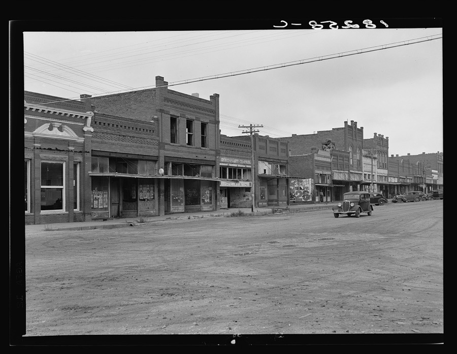
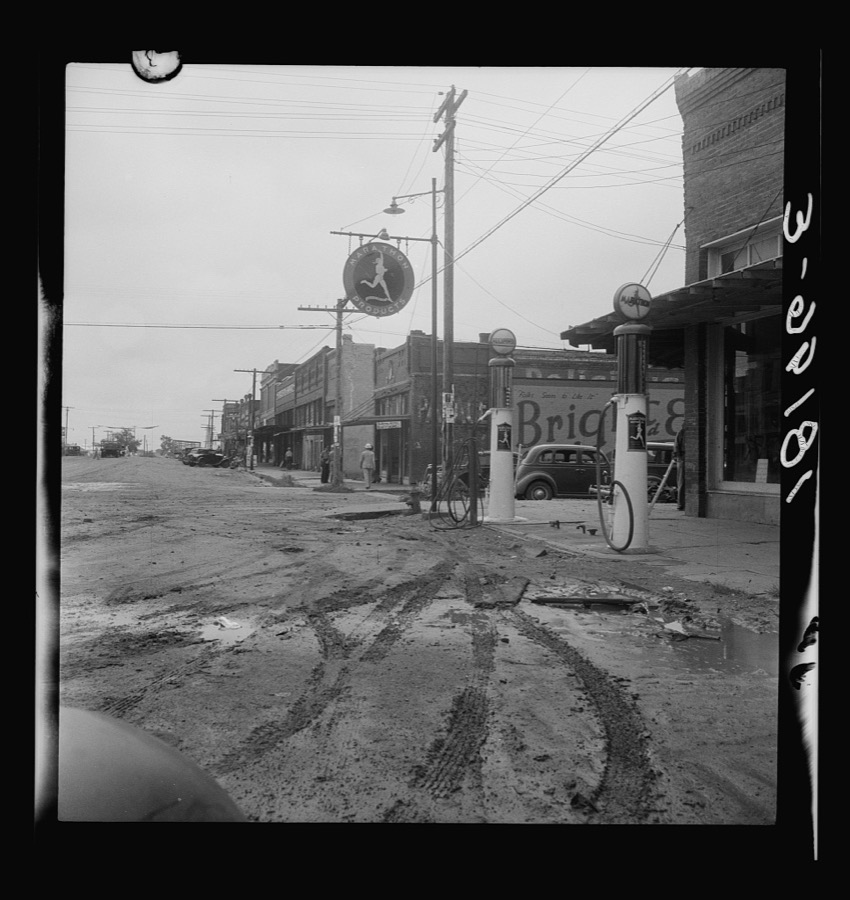
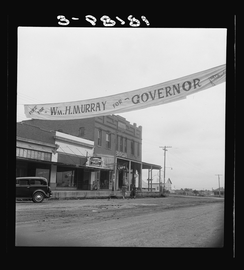
Taken for the Office of War Information and the Farm Security Administration, who photographed the country between 1935 and 1944. Works of United States government photographers, with no known restriction on use. Each opens its catalogue record.
Every property in this county listed on the National Register of Historic Places, with the year it was listed and the federal nomination document.
| Photograph | Property | Type | Listed | Reference |
|---|---|---|---|---|
| Armstrong Academy Site | site | 1972 | 72001056 | |
| Bloomfield Academy Site | site | 1972 | 72001055 | |
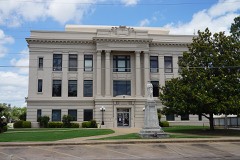 | Bryan County Courthouse | building | 1984 | 84002974 |
| Caddo Community Building | building | 1988 | 88001376 | |
| Carriage Point | site | 1972 | 72001058 | |
| Colbert's Ferry Site | site | 1972 | 72001057 | |
| Colbert's Ferry Site | site | 1972 | 72001057 | |
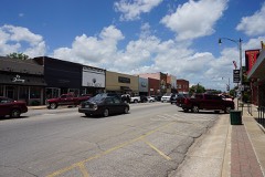 | Durant Downtown Historic District | district | 2007 | 07000517 |
| Fort McCulloch | site | 1971 | 71000659 | |
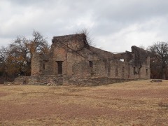 | Fort Washita | district | 1966 | 66000626 |
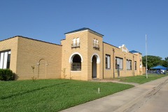 | Robert E. Lee School | building | 1988 | 88001374 |
| Nail's Station | site | 1972 | 72001059 | |
 | Oklahoma Presbyterian College | building | 1976 | 76001556 |
| Roberta School Campus | building | 1988 | 88001377 | |
| Roberta School Campus | building | 1988 | 88001377 | |
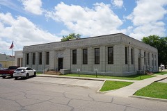 | Robert Lee Williams Public Library | building | 1988 | 88001375 |
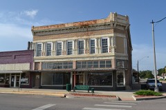 | J. L. Wilson Building | building | 1982 | 82003668 |
Sampled issues, machine-read from the Library of Congress scan and published page by page, so every headline and column is searchable text.
Durant, Choctaw Nation, Indian Territory [Okla.], 190? to 1944. Machine-read from the Library of Congress scan.
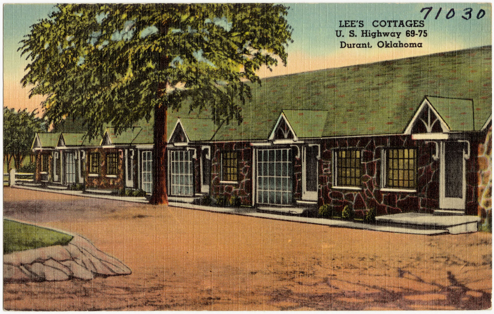
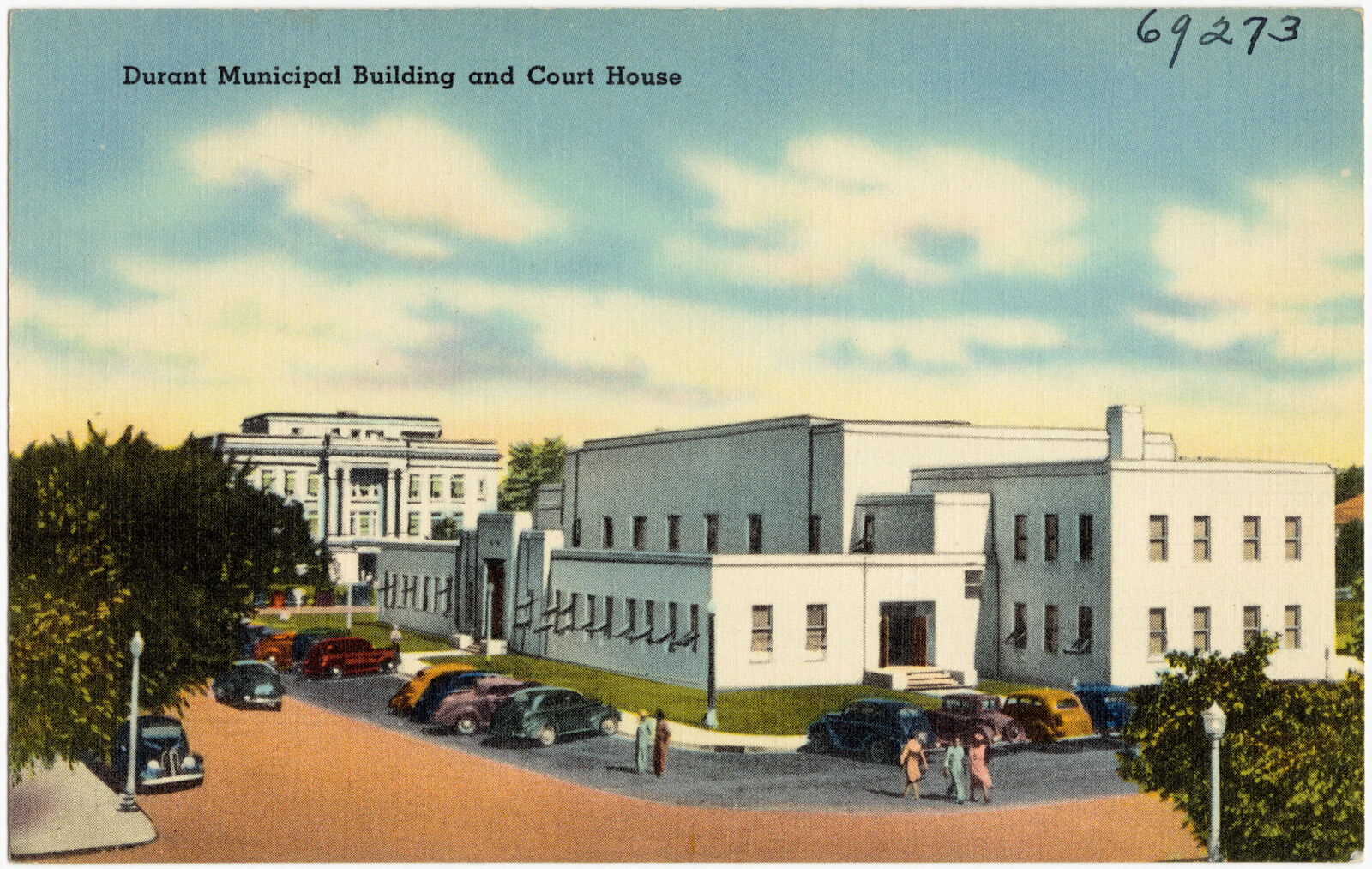
Selected from the Digital Public Library of America's 2 image records catalogued for this county. Every one shown here carries a public-domain status or a licence that permits reuse on a site that carries advertising; non-commercial, share-alike and restricted images are excluded. The selection is spread across the county's towns (at most eight per town), so no single institution's bulk upload crowds out the rest. Each opens the holding library's record, and the complete set at the Digital Public Library of America is one click away.
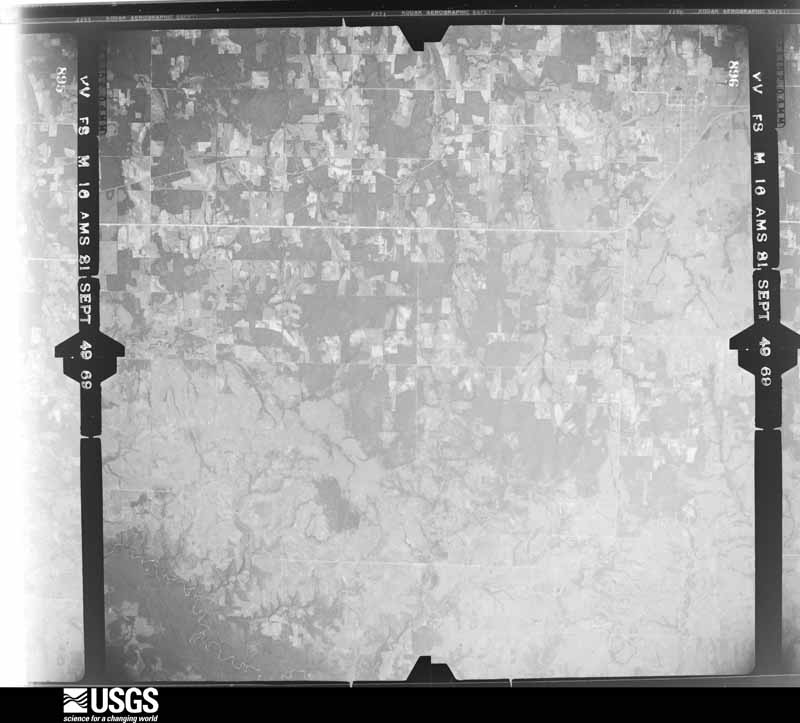
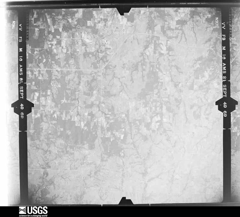
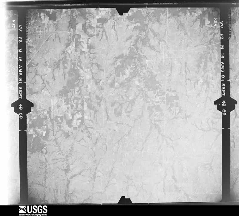
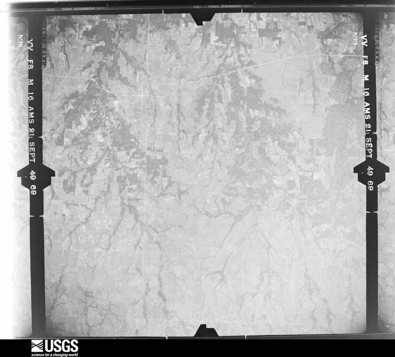
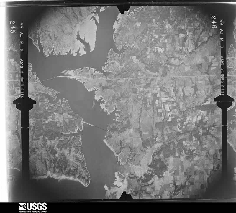
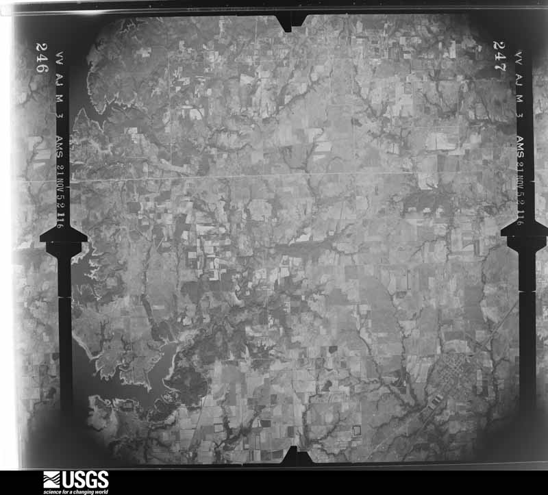
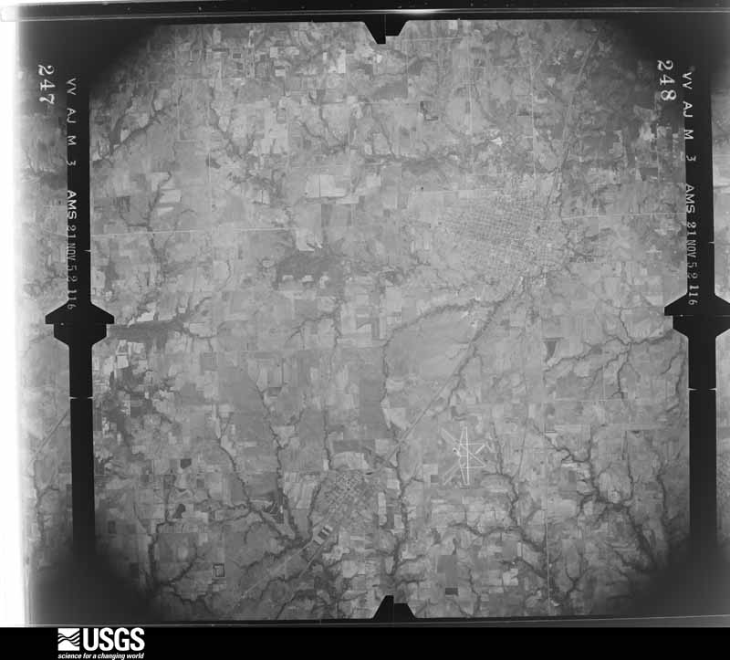
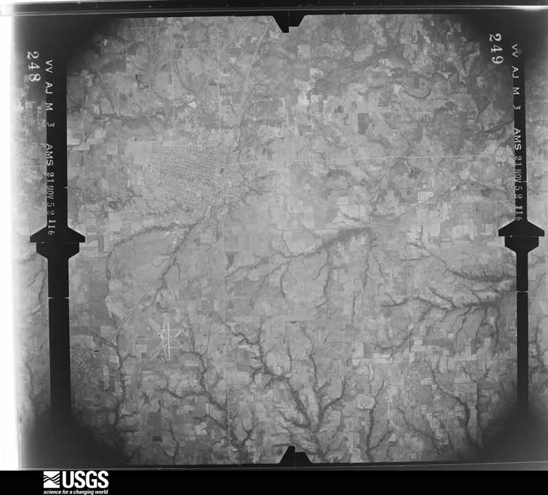
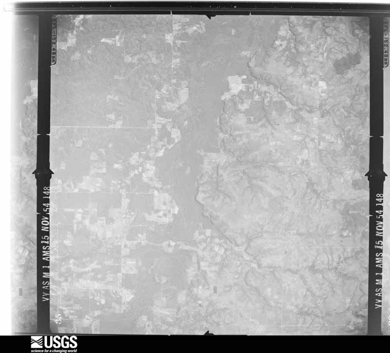
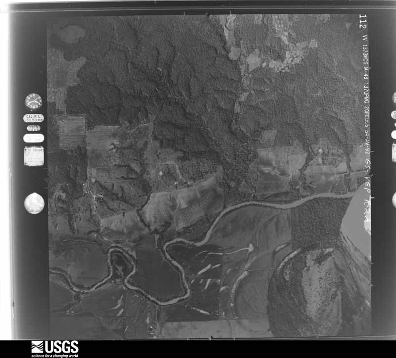
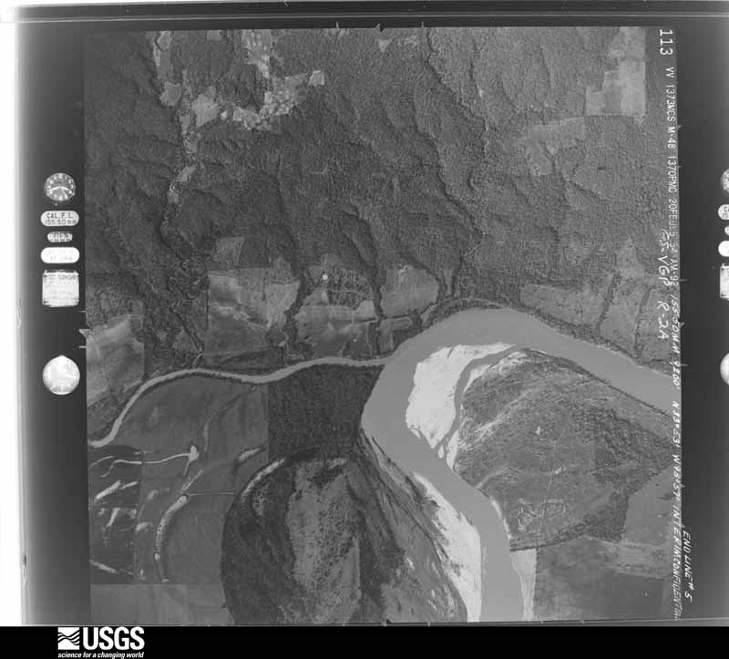
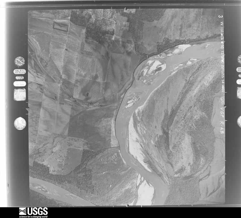
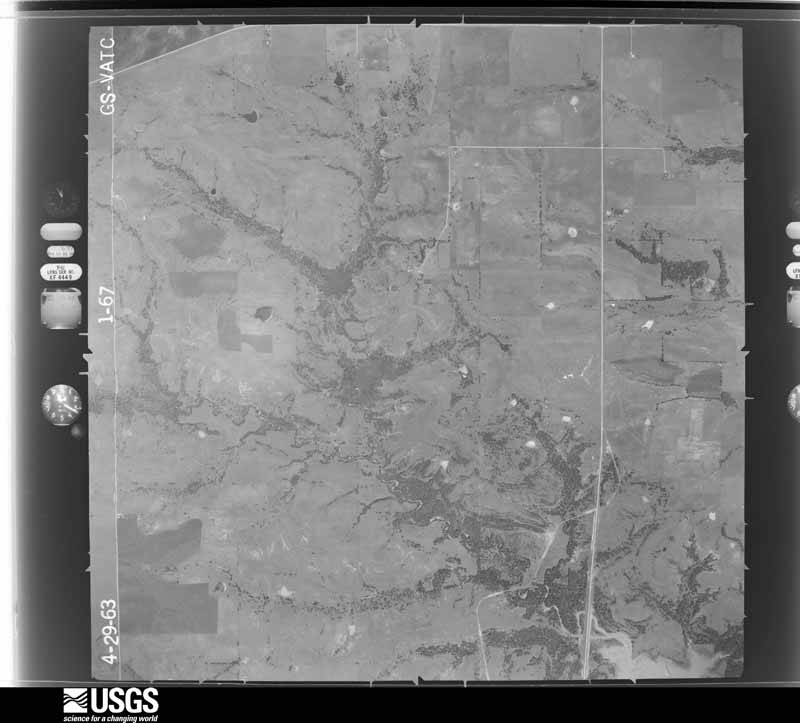
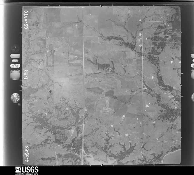
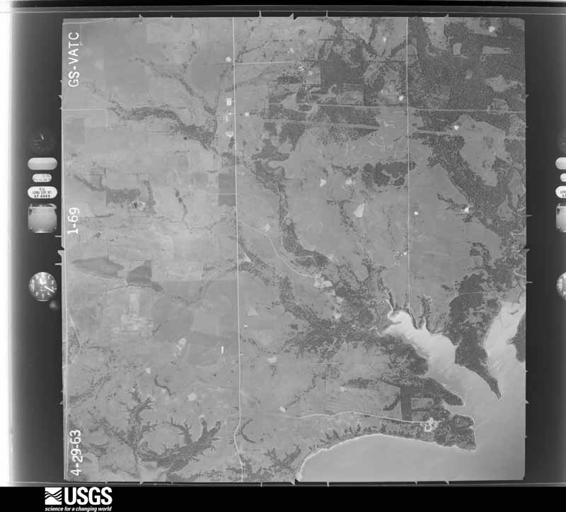
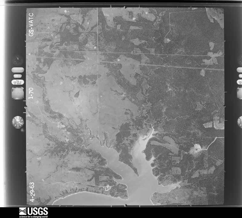
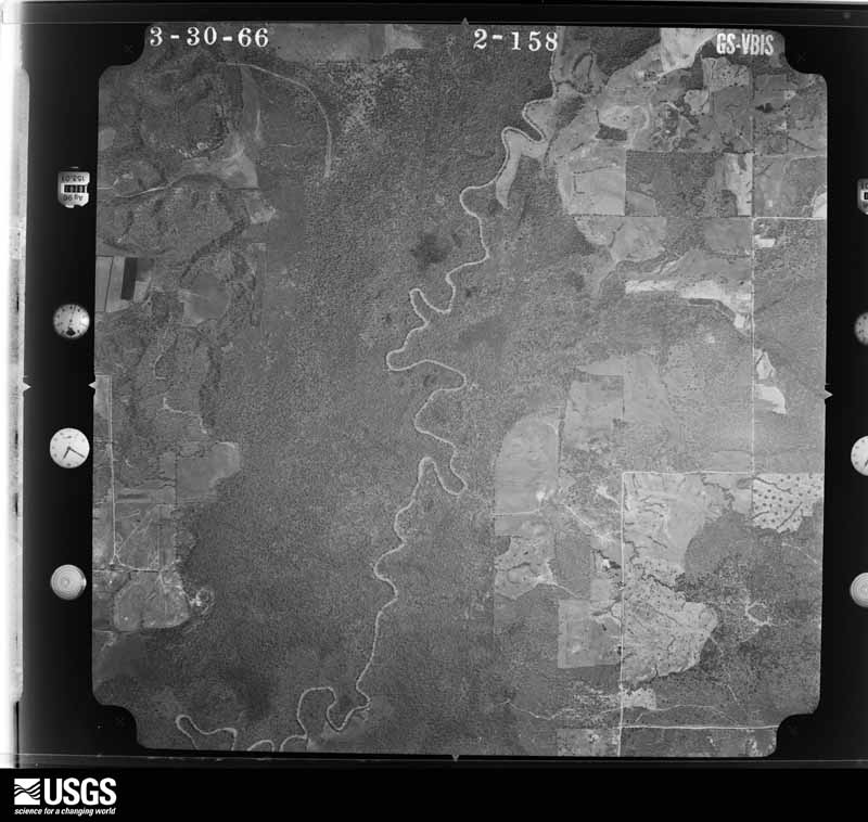
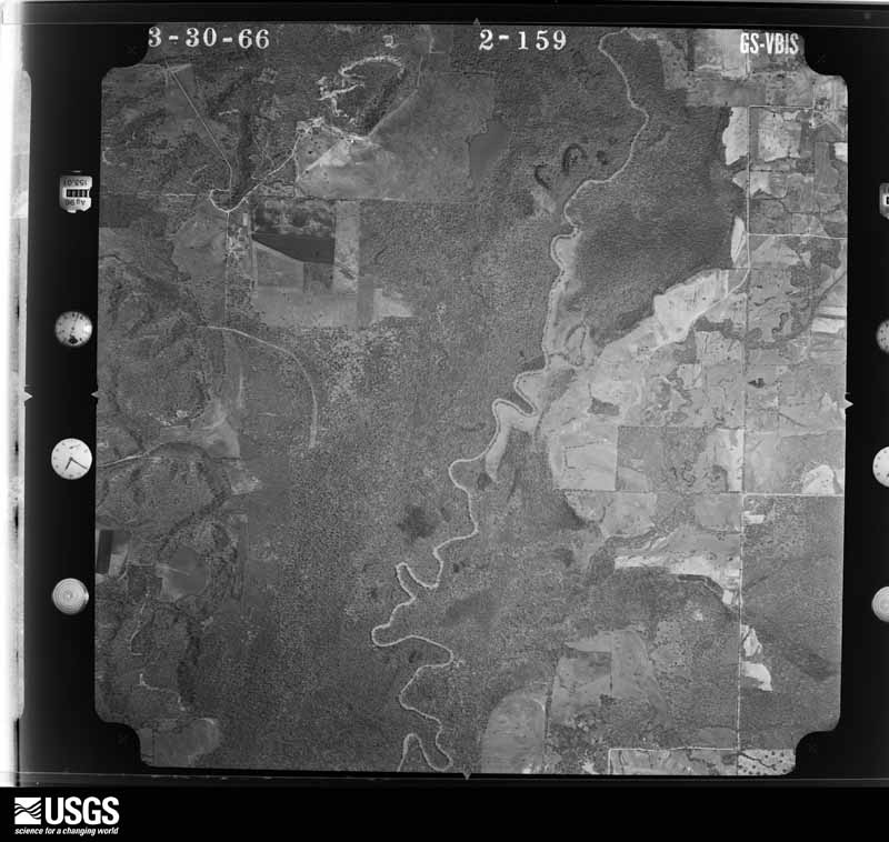
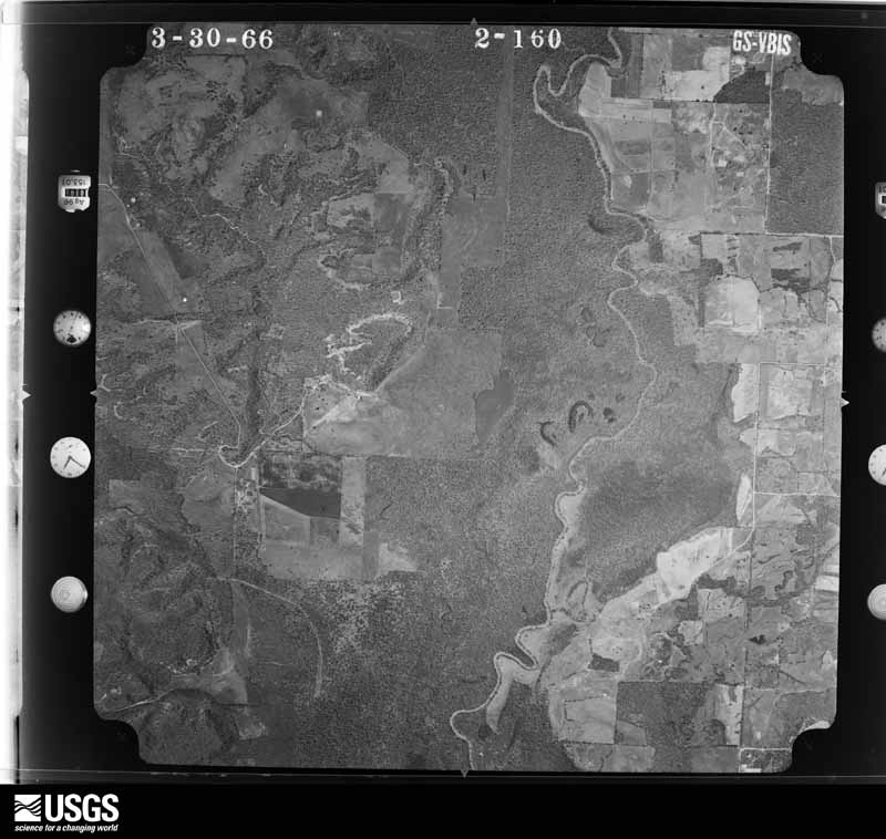
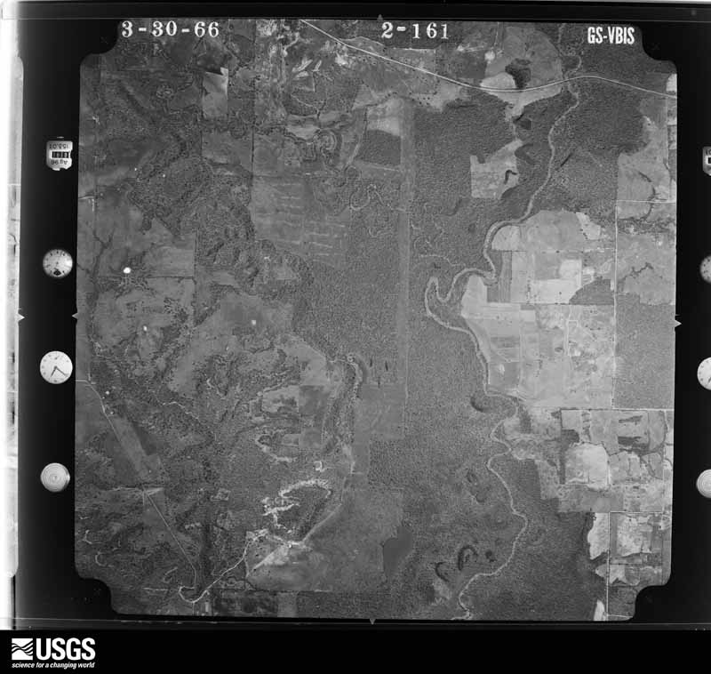
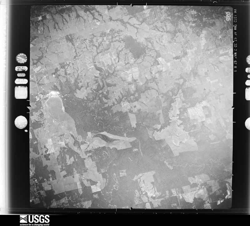
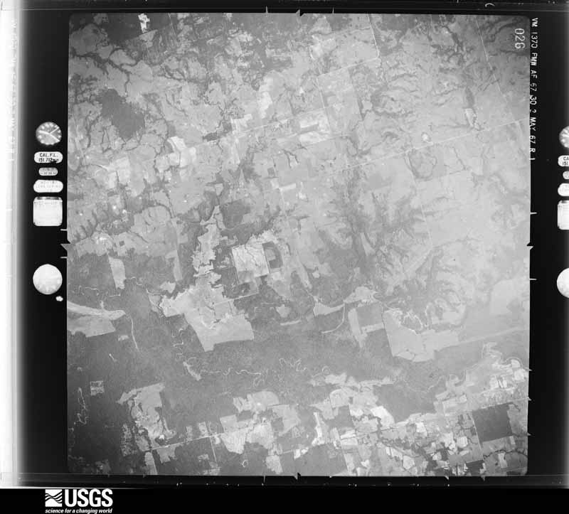
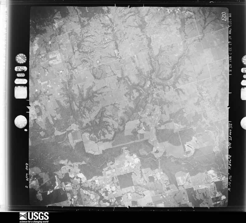
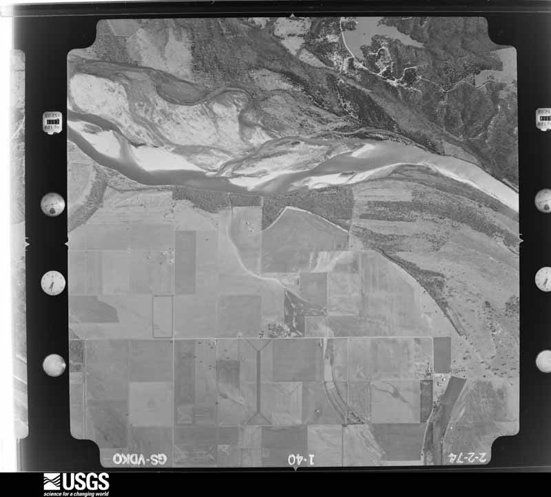
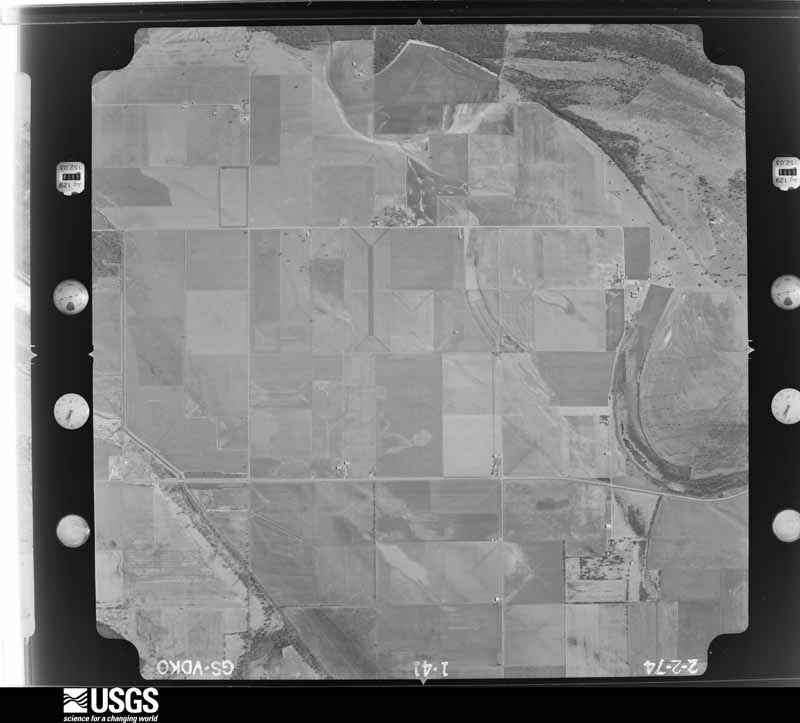
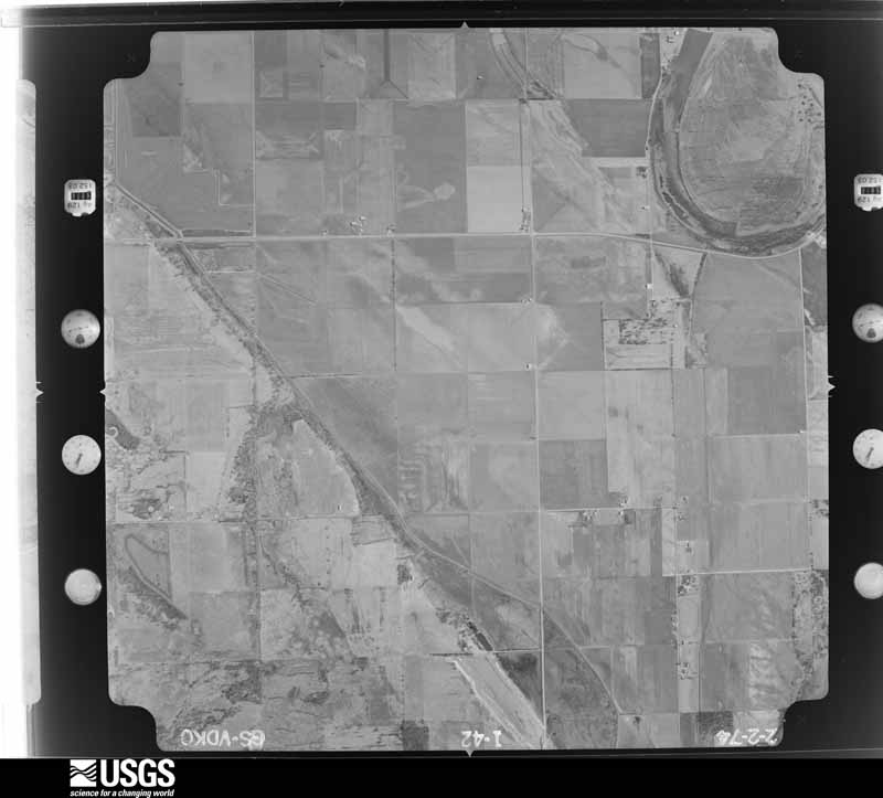
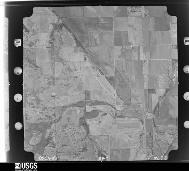
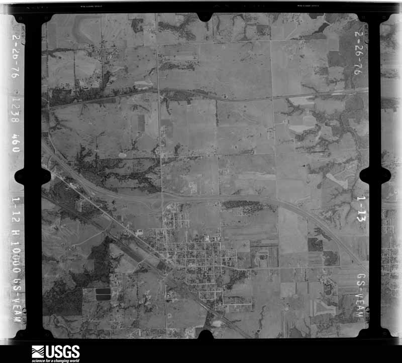
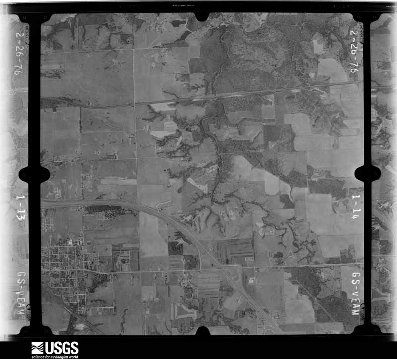
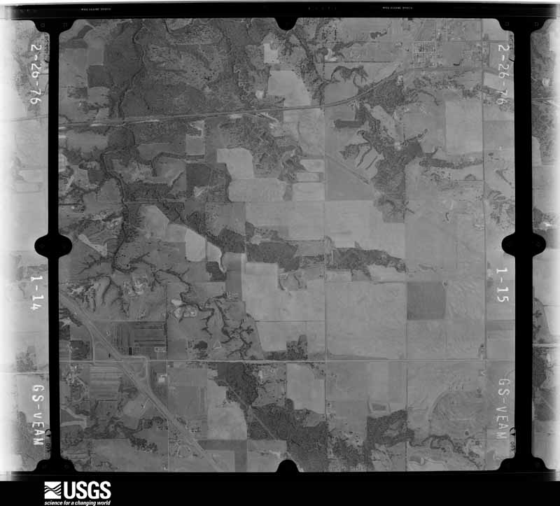
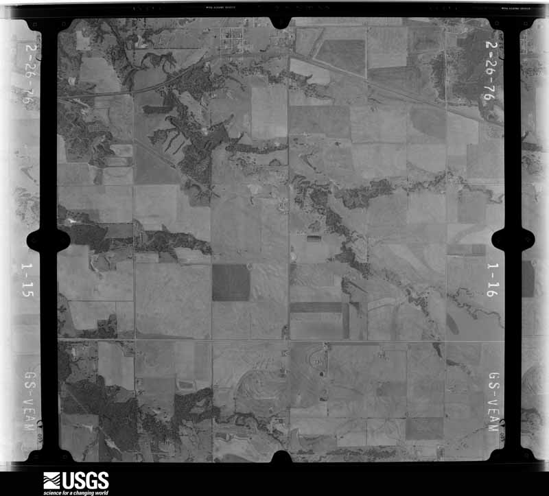
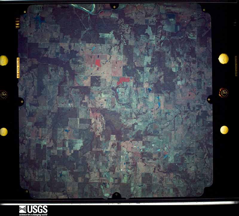
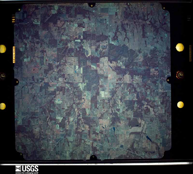
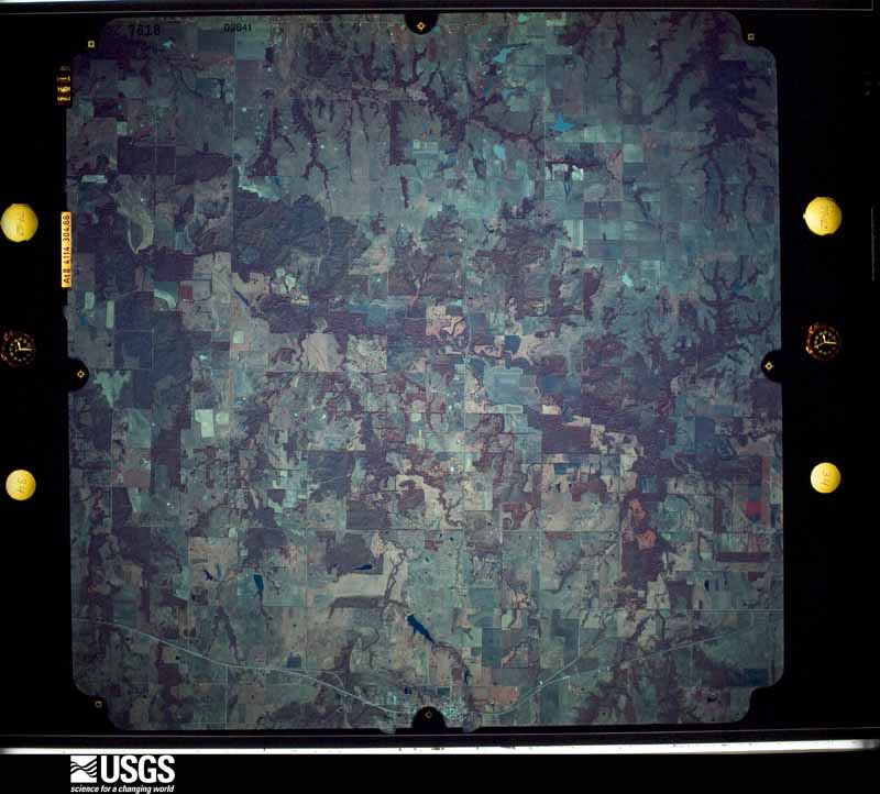
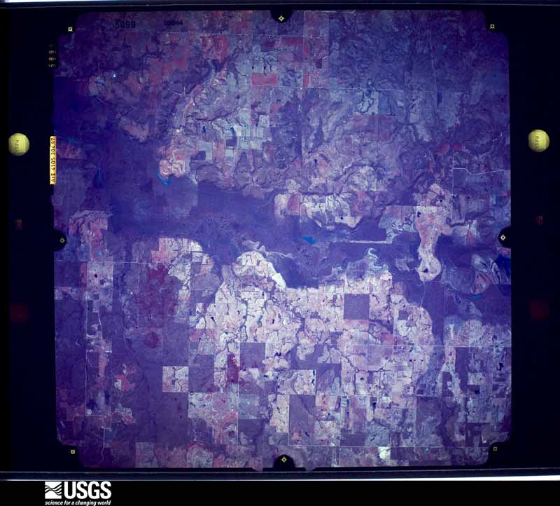
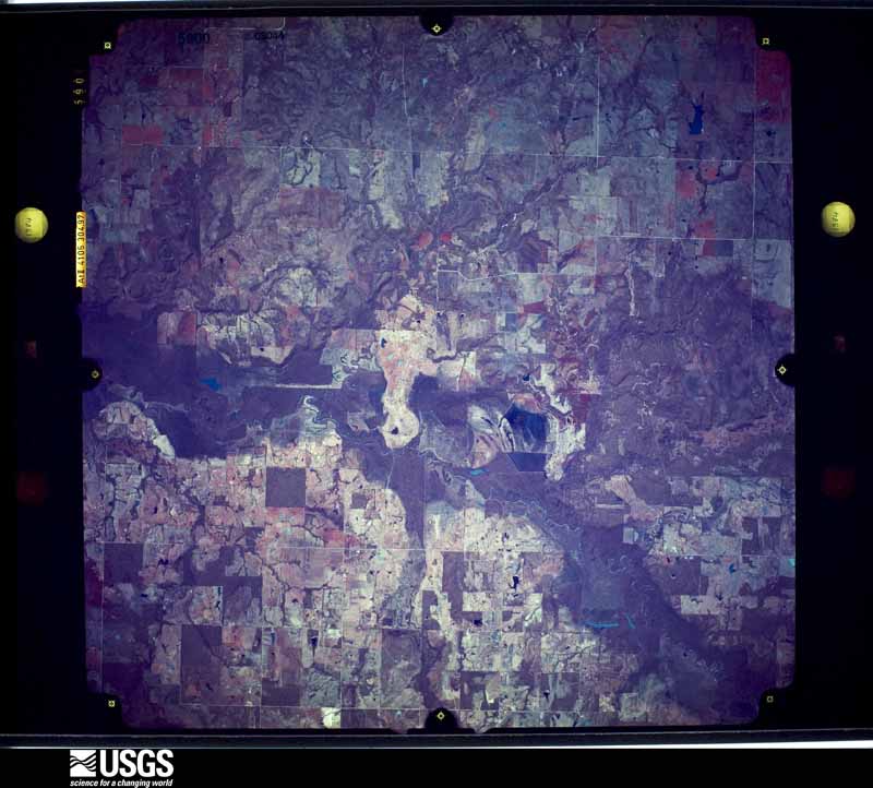
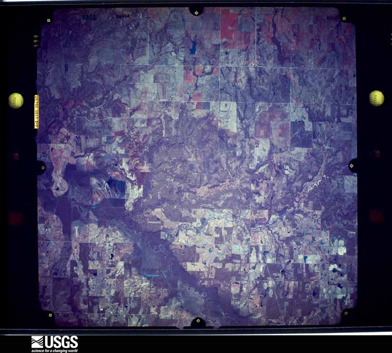
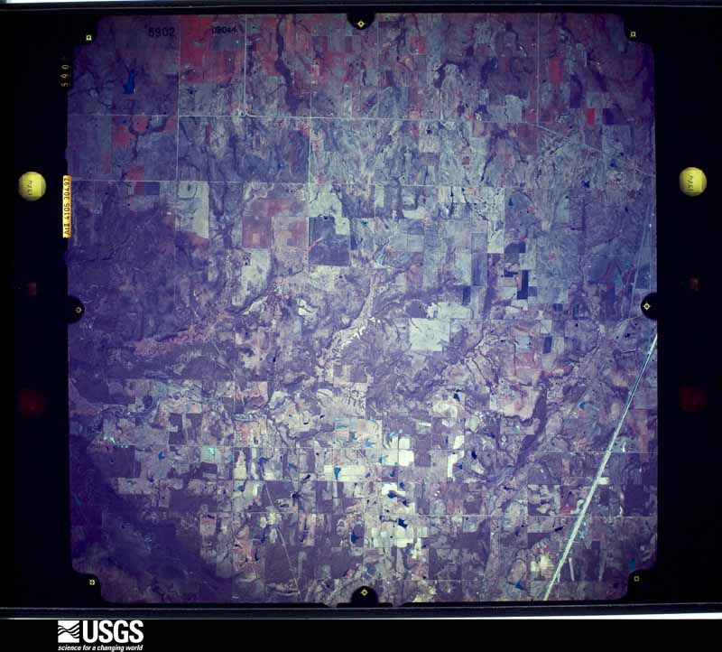
Flown by the U.S. Geological Survey between 1937 and 1989, the Aerial Photo Single Frames collection is the definitive mid-century view of the land: fields, roads and rivers as the camera saw them. The Survey holds 2,062 frames inside the rectangle that bounds this county; the 43 frames below were taken over the county itself, chosen across the decades of flights (at most four a year from that rectangle), so one flight cannot crowd out the rest. The full set is free to browse and download at EarthExplorer under the dataset Aerial Photo Single Frames.
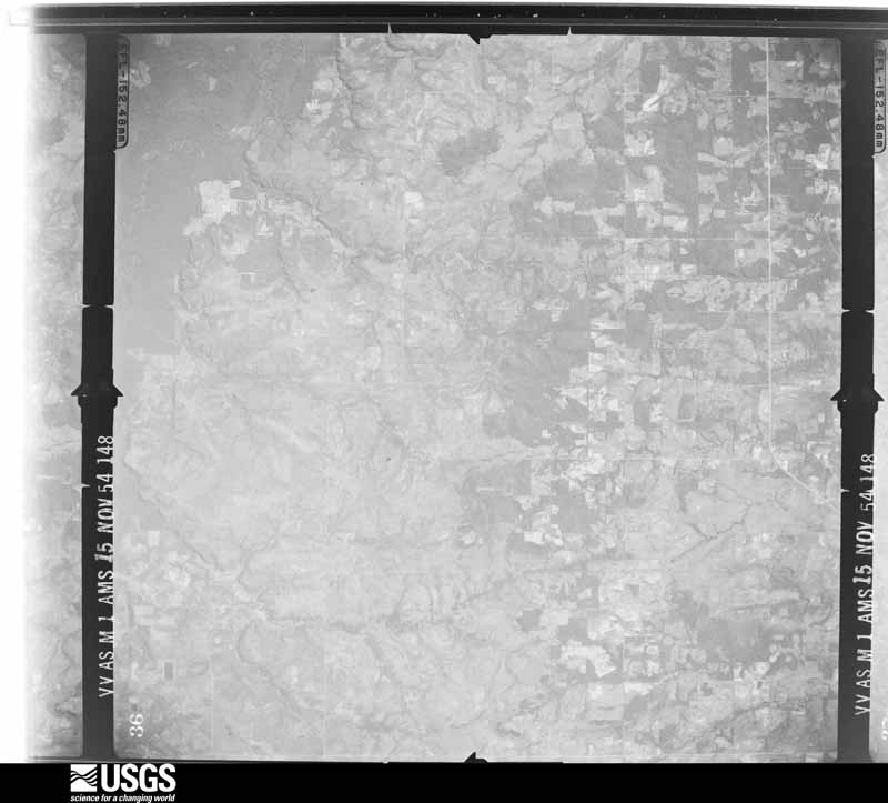
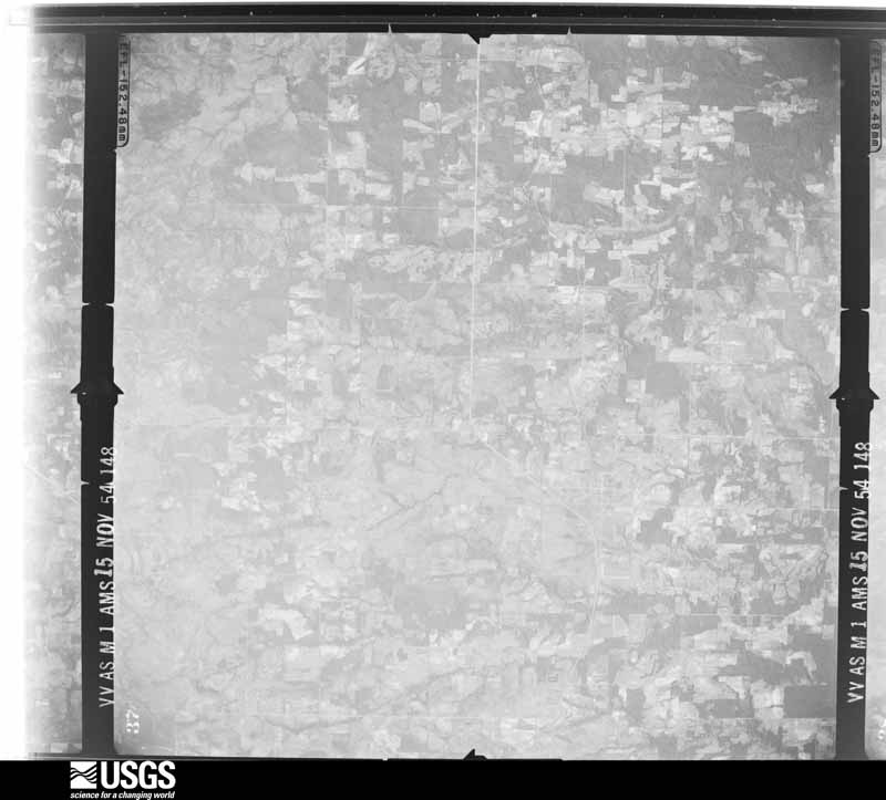
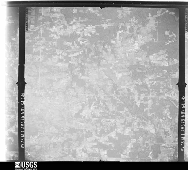
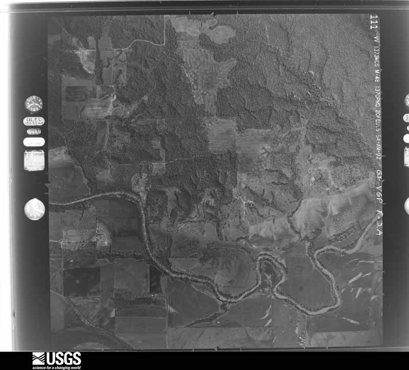

The thermometers that kept this county's weather, and the gages that measured the flow of its streams, as the federal records hold them. The extremes below are measured values from those records, not estimates.
Who lived here in 1950, one enumeration district at a time, as the Census Bureau described each district. Each row opens its official National Archives result, with Population Schedules and ED Maps available there.
Every wildfire the federal occurrence database records inside this county: 55 of them, burning about 14,747 acres. 3 started naturally and 22 were recorded as arson. Each settlement page carries the fires within five miles of it.
| Reported cause | Fires |
|---|---|
| Arson/incendiarism | 22 |
| Missing data/not specified/undetermined | 14 |
| Equipment and vehicle use | 7 |
| Smoking | 4 |
| Debris and open burning | 3 |
| Natural | 3 |
| Railroad operations and maintenance | 1 |
| Firearms and explosives use | 1 |
The five largest, by the area the report gives. Two of them were set deliberately.
| Date | Cause | Size | Reported by | Name on the report |
|---|---|---|---|---|
| 29 December 2005 | Arson/incendiarism | 10,000 acres | Talihina Agency | ACHILLE |
| 24 February 2007 | Missing data/not specified/undetermined | 1,680 acres | Chickasaw Agency | SILO CAMP |
| 31 December 2005 | Natural | 1,000 acres | Talihina Agency | ARMSTRONG |
| 5 March 2007 | Debris and open burning | 700 acres | Chickasaw Agency | ROBINSON ROAD |
| 28 February 2006 | Missing data/not specified/undetermined | 345 acres | Oklahoma Division of Forestry | CALERA RAILROAD |
| 1 January 2006 | Smoking | 180 acres | Talihina Agency | S BOKCHITO |
| 24 August 2006 | Missing data/not specified/undetermined | 146 acres | Talihina Agency | RHUE FIRE |
| 12 March 2004 | Arson/incendiarism | 90 acres | Oklahoma Division of Forestry | 20182 |
Every settlement page carries the fires within five miles of it - see the settlement index below.
The NOAA Storm Events Database holds 619 reports for this county, causing 8 deaths, 30 injuries and about $9,706,160 in recorded property damage. Each settlement page carries the reports that name it.
| Kind of event | Reports |
|---|---|
| Hail | 282 |
| Thunderstorm Wind | 255 |
| Tornado | 40 |
| Flash Flood | 32 |
| Lightning | 6 |
| Heavy Rain | 2 |
| Funnel Cloud | 1 |
| Flood | 1 |
The most serious of them, by death, then injury, then recorded damage. The accounts are quoted exactly as the forecast office filed them.
| When | Event | Place named | Harm | What the report says |
|---|---|---|---|---|
| April 1957 | Tornado (F4) | not stated | 3 killed, 3 hurt, $250,000 | no account filed |
| April 2019 | Tornado (EF3) | Blue | 2 killed, 11 hurt, $300,000 | A tornado developed about 2 miles south-southeast of Blue, and quickly became a large and strong tornado. Before crossing SH-70 east of Blue, the tornado widened to 1400 yards and damaged or destroyed a number of mobile homes. One mobile home was blown about 50-75 yards east-northeast into a grove of trees. A woman in this mobile home suffered significant injuries and died in a hospital on May 2. The tornado crossed US-70 producing significant tree damage. Just north of US-70, another mobile home was destroyed and blown away with another fatality. The tornado moved northeast into a less densely populate area, although at least one other home was unroofed northeast of Blue.||About two miles south of the Atoka County line, the tornado hit an anchored mobile home that was destroyed with the debris scattered hundreds of yards to the east and southeast. The tornado continued to produce tree damage in northern Bryan County and moved into Atoka County near just west of Matoy Road. |
| May 1994 | Thunderstorm Wind | Northern Woodville | 1 killed, $50,000 | no account filed |
| May 2015 | Tornado (EF2) | Blue | 1 killed | A strong tornado developed in Bryan County near the intersection of Old US Highway 70 and Pirtle Road, 2.5 miles west-southwest of Blue. The tornado moved northeast and destroyed a mobile home north of Blue where a 48-year old woman was killed. This was one of a few mobile homes that were destroyed as the tornado moved through Bryan County (DI 3, DOD 8-9). Other homes also suffered roof damage or other damage from falling trees. From north of Blue, the tornado turned to the north and moved into Atoka County. |
| April 2003 | Lightning | Calera | 1 killed | A woman was killed when she was struck by lightning as she was walking to her car. |
| August 2012 | Thunderstorm Wind | Calera | 5 hurt, $45,000 | Widespread damage to trees and power lines reported, with structural damage to homes. One vehicle was blown off the road, and several injuries were also reported. |
| March 1971 | Tornado (F3) | not stated | 3 hurt, $250,000 | no account filed |
| October 1959 | Tornado (F2) | not stated | 2 hurt, $25,000 | no account filed |
| April 1982 | Tornado (F2) | not stated | 1 hurt, $2,500,000 | no account filed |
| April 1964 | Tornado (F3) | not stated | 1 hurt, $250,000 | no account filed |
| October 1970 | Tornado (F1) | not stated | 1 hurt, $25,000 | no account filed |
| February 2001 | Thunderstorm Wind | Durant | 1 hurt, $5,000 | A tractor-trailer overturned on Highway 70, on the east end of the Roosevelt bridge. The driver was injured and taken to a local hospital. |
| September 1954 | Tornado (F2) | not stated | 1 hurt, $2,500 | no account filed |
| September 2010 | Tornado (EF1) | Colbert | 1 hurt | A brief tornado damaged two homes and overturned two trucks on Highway 69. One of the drivers sustained minor injuries while in his truck. Fifteen steel transmission lines were also downed. At least 1000 people were without power due to the damage. Monetary damage estimates were not available. |
| May 1981 | Tornado (F3) | not stated | $2,500,000 | no account filed |
| April 1994 | Tornado (F1) | Nr Kemp - Yuba | $500,000 | no account filed |
| May 1992 | Tornado (F2) | not stated | $250,000 | no account filed |
| March 1991 | Tornado (F2) | not stated | $250,000 | no account filed |
| February 1987 | Tornado (F1) | not stated | $250,000 | no account filed |
| March 1971 | Tornado (F3) | not stated | $250,000 | no account filed |
| June 1998 | Thunderstorm Wind | Durant | $150,000 | Severe thunderstorm winds estimated at 70 mph caused major damage in and around Durant. At least 4 businesses in downtown sustained damage. A building was unroofed on Main Street and a nearby clinic was partially unroofed. The roof of a feed store was blown off and then tossed onto a car. The Walmart greenhouse was also blown away. Buildings in an industrial park suffered damage to overhead doors and one building had a corner blown out. Choctaw Bingo reported damage to awnings and the roof. Outbuildings at approximately 6 residences just north of the airport were damaged or destroyed. 1000-gallon tanks were blown over at 21st and Evergreen. Several trees up to 1-foot in diameter were uprooted and numerous fences were blown down. One downed tree landed on the roof of a fire station, causing $2500 in damage. |
| September 2025 | Thunderstorm Wind | Durant Eaker Arpt | $100,000 | A wind gust measured at the City of Durant Emergency Operations Center. Relayed images show four light aircraft damaged by thunderstorms winds at nearby Durant Eaker Field (KDUA). |
| April 2020 | Tornado (EF1) | Cobb | $100,000 | This tornado touched down about 3 miles west-northwest of Armstrong and moved generally east for 5 miles damaging a number of homes, barns and trees. |
| June 1998 | Thunderstorm Wind | Calera | $100,000 | Significant and widespread wind damage was reported in Calera. A roof was blown off a trailer house on the east side of town, at least three trailer houses were destroyed, and one brick home was damaged by downed trees. Numerous barns and outbuildings were damaged and/or unroofed. Three businesses in an industrial complex at the airport sustained structural damage. Fifteen other businesses received minor damage. |
| June 2015 | Flash Flood | Hendrix | $80,000 | Water entered into businesses and homes. |
| November 2022 | Tornado (EF1) | Calera | $75,000 | A tornado touched down southwest of Calera crossing US-69 and blowing a semi truck and trailer into the median. A number of unoccupied, unanchored mobile homes just north of US-69 were displaced and damaged including at least one that was rolled and destroyed. The tornado moved northeast, parallel to and just northwest of US-69, and moved into the west and north sides of Calera. A number of trees had damage or were snapped in Calera with at least two houses heavily damaged by falling trees. Other homes in town received shingle damage from the tornado. The tornado dissipated just northeast of the city limits of Calera before reaching Choctaw Road. |
| February 2001 | Thunderstorm Wind | Colbert | $65,000 | Four mobile homes and nine barns were destroyed by high winds. |
| September 2025 | Thunderstorm Wind | Bennington | $50,000 | Relayed images courtesy of the Oklahoma Department of Emergency Management show the roof of a large brick outbuilding blown off along with siding damage to a nearby house. The event time is estimated from radar observations. |
| November 2018 | Thunderstorm Wind | Kenefic | $50,000 | Sixteen power poles were downed, the roof was blown off of a mobile home, and a barn and several other buildings were damaged. Time estimated. |
| July 2012 | Thunderstorm Wind | Durant Eaker Arpt | $50,000 | Durant police department reported trees and power lines down with trees blocking roads and on homes. Monetary damage estimated. |
| May 2009 | Flash Flood | Armstrong | $50,000 | Several city streets and county roads had to be closed near Durant and Calera due to water running over top of them. Several motorists became stranded after driving into high water, with some having to be rescued. One person sustained a minor injury when his truck crashed while driving through flood waters. Monetary damages were estimated. |
| May 1995 | Thunderstorm Wind | Durant | $50,000 | Severe thunderstorm winds in Bryan County downed power lines and uprooted trees in Achille and blew two barns down nine miles east-southeast of Durant. |
| July 1994 | Thunderstorm Wind | Durant | $50,000 | Thunderstorms in southeast Oklahoma during the afternoon hours on the 12th produced damaging winds. Thunderstorm winds destroyed two barns, ripped the roof off a dog kennel, damaged a mobile home, and knocked down power poles and trees in Durant. Thunderstorm winds measured at 78 mph damaged hangers and roofs and windows of other buildings at Eaker Field Airport three miles south of Durant. |
| July 1994 | Thunderstorm Wind | Durant | $50,000 | Thunderstorms in southeast Oklahoma during the afternoon hours on the 12th produced damaging winds. Thunderstorm winds destroyed two barns, ripped the roof off a dog kennel, damaged a mobile home, and knocked down power poles and trees in Durant. Thunderstorm winds measured at 78 mph damaged hangers and roofs and windows of other buildings at Eaker Field Airport three miles south of Durant. |
| April 1999 | Flash Flood | West Portion | $50,000 | no account filed |
| May 2001 | Thunderstorm Wind | Bokchito | $40,000 | The roof was blown off a feed store. A car was damaged, and trees and power lines were downed. |
| November 1996 | Lightning | Calera | $35,000 | no account filed |
| April 2008 | Thunderstorm Wind | Durant Eaker Arpt | $30,000 | A microburst occurred at the north end of the airport on the south side of Rodeo Road. A trailer roof was blown off. One barn was destroyed and numerous power lines were downed. Monetary damages were estimated. |
| June 2025 | Thunderstorm Wind | Calera | $25,000 | A barn was destroyed and trees were blown down near the intersection of Platter Road and Choice Lane. The event time is estimated from radar observations. |
| June 2025 | Thunderstorm Wind | Cartwright | $25,000 | Relayed images show minor damage to the metal roof of a church in the community of Cartwright. The event time is estimated from radar observations. |
| June 2024 | Thunderstorm Wind | Cartwright | $25,000 | Relayed images showing a large tree uprooted, causing significant damage to a mobile home. Time is radar estimated. |
| March 2008 | Thunderstorm Wind | Bokchito | $25,000 | A large barn was destroyed by straight line winds. Monetary damages were estimated. |
| June 1998 | Thunderstorm Wind | Roberta | $25,000 | A trailer house was destroyed. |
| April 1982 | Tornado (F2) | not stated | $25,000 | no account filed |
| April 1980 | Tornado (F2) | not stated | $25,000 | no account filed |
| May 1974 | Tornado (F2) | not stated | $25,000 | no account filed |
| April 1972 | Tornado (F2) | not stated | $25,000 | no account filed |
| June 1969 | Tornado (F2) | not stated | $25,000 | no account filed |
| May 1957 | Tornado (F1) | not stated | $25,000 | no account filed |
| May 1955 | Tornado (F0) | not stated | $25,000 | no account filed |
| May 1951 | Tornado (F2) | not stated | $25,000 | no account filed |
| April 2020 | Tornado (EF1) | Blue | $20,000 | A tornado was observed at close range by a storm chaser. The tornado was observed to break branches off a number of trees, and damage a building as it crossed Robinson Road, then cross over a pond. |
| July 2018 | Thunderstorm Wind | Caddo | $20,000 | Utility pole and multiple trees downed. Roof removed from house. |
| March 2016 | Thunderstorm Wind | Kenefic | $20,000 | Winds caused isolated damage, removing the roof from a trailer home. A wall came down with the roof. |
| March 2023 | Thunderstorm Wind | Caddo | $15,000 | Roof damage occurred to the Dairy Queen in Caddo. Power lines were also blown down. |
| May 2013 | Thunderstorm Wind | Durant Eaker Arpt | $15,000 | Trees and power lines reported down on the west side of Durant. |
| June 2007 | Flash Flood | Durant | $15,000 | Several roads were closed due to high water. Several cars were also reportedly under water. Monetary damages were estimated. |
| August 1998 | Lightning | Yuba | $15,000 | no account filed |
| April 2008 | Thunderstorm Wind | Albany | $13,000 | Several trees were blown down and a trailer home was damaged on State Highway 78 just west of Yuba. Monetary damages were estimated. |
| June 1998 | Thunderstorm Wind | Achille | $12,000 | Severe thunderstorm winds ripped the roof off a mobile home and downed power lines and large trees. |
The Survey's mineral resources record lists 97 workings inside this county. 5 still produce and 92 are closed or unrecorded. Each settlement page carries the workings within five miles of it.
| Commodity | Workings |
|---|---|
| Sand and Gravel, Construction | 63 |
| Stone, Crushed/Broken | 34 |
The least common of them first, because a county's hundredth gravel pit says nothing its first ten did not.
| Where | Site | Commodity | Status | Recorded |
|---|---|---|---|---|
| Bryan County Sand Limestone Pit | Stone, Crushed/Broken | Producer | ||
| Lattimore Industries Limestone Pit | Stone, Crushed/Broken | Past Producer | ||
| Unknown Limestone Pit | Stone, Crushed/Broken | Past Producer | ||
| Unknown Limestone Pit | Stone, Crushed/Broken | Past Producer | ||
| Unknown Limestone Pit | Stone, Crushed/Broken | Past Producer | ||
| Unknown Limestone Pit | Stone, Crushed/Broken | Past Producer | ||
| Unknown Limestone Pit | Stone, Crushed/Broken | Past Producer | ||
| Unknown Limestone Pit | Stone, Crushed/Broken | Past Producer | ||
| Unknown Limestone Pit | Stone, Crushed/Broken | Past Producer | ||
| Unknown Limestone Pit | Stone, Crushed/Broken | Past Producer | ||
| Unknown Limestone Pit | Stone, Crushed/Broken | Past Producer | ||
| Unknown Limestone Pit | Stone, Crushed/Broken | Past Producer | ||
| Unknown Limestone Pit | Stone, Crushed/Broken | Past Producer | ||
| Unknown Limestone Pit | Stone, Crushed/Broken | Past Producer | ||
| Unknown Limestone Pit | Stone, Crushed/Broken | Past Producer | ||
| Unknown Limestone Pit | Stone, Crushed/Broken | Past Producer | ||
| Unknown Limestone Pit | Stone, Crushed/Broken | Past Producer | ||
| Unknown Limestone Pit | Stone, Crushed/Broken | Past Producer | ||
| Unknown Limestone Pit | Stone, Crushed/Broken | Past Producer | ||
| Unknown Limestone Pit | Stone, Crushed/Broken | Past Producer | ||
| Unknown Limestone Pit | Stone, Crushed/Broken | Past Producer | ||
| Unknown Limestone Pit | Stone, Crushed/Broken | Past Producer | ||
| Unknown Limestone Pit | Stone, Crushed/Broken | Past Producer | ||
| Unknown Limestone Pit | Stone, Crushed/Broken | Past Producer | ||
| Unknown Limestone Pit | Stone, Crushed/Broken | Past Producer | ||
| Unknown Limestone Pit | Stone, Crushed/Broken | Past Producer | ||
| Unknown Limestone Pit | Stone, Crushed/Broken | Past Producer | ||
| Unknown Limestone Pit | Stone, Crushed/Broken | Past Producer | ||
| Unknown Limestone Pit | Stone, Crushed/Broken | Past Producer | ||
| Unknown Limestone Pit | Stone, Crushed/Broken | Producer | ||
| Unknown Limestone Pit | Stone, Crushed/Broken | Past Producer | ||
| Unknown Limestone Pit | Stone, Crushed/Broken | Past Producer | ||
| Unknown Limestone Pit | Stone, Crushed/Broken | Past Producer | ||
| Unknown Limestone Pit | Stone, Crushed/Broken | Past Producer | ||
| Bryan County Sand Co | Sand and Gravel, Construction | Producer | ||
| H C Ruskin Corp Sand Pit | Sand and Gravel, Construction | Past Producer | ||
| H C Ruskin Corp Sand Pit | Sand and Gravel, Construction | Past Producer | ||
| H C Ruskin Corp Sand Pit | Sand and Gravel, Construction | Past Producer | ||
| Unknown Gravel Pit | Sand and Gravel, Construction | Past Producer | ||
| Unknown Gravel Pit | Sand and Gravel, Construction | Past Producer | ||
| Unknown Sand Pit | Sand and Gravel, Construction | Past Producer | ||
| Unknown Sand Pit | Sand and Gravel, Construction | Past Producer | ||
| Unknown Sand Pit | Sand and Gravel, Construction | Past Producer | ||
| Unknown Sand Pit | Sand and Gravel, Construction | Past Producer | ||
| Unknown Sand Pit | Sand and Gravel, Construction | Past Producer | ||
| Unknown Sand Pit | Sand and Gravel, Construction | Past Producer | ||
| Unknown Sand Pit | Sand and Gravel, Construction | Past Producer | ||
| Unknown Sand Pit | Sand and Gravel, Construction | Past Producer | ||
| Unknown Sand Pit | Sand and Gravel, Construction | Past Producer | ||
| Unknown Sand Pit | Sand and Gravel, Construction | Past Producer | ||
| Unknown Sand Pit | Sand and Gravel, Construction | Past Producer | ||
| Unknown Sand Pit | Sand and Gravel, Construction | Past Producer | ||
| Unknown Sand Pit | Sand and Gravel, Construction | Past Producer | ||
| Unknown Sand Pit | Sand and Gravel, Construction | Past Producer | ||
| Unknown Sand Pit | Sand and Gravel, Construction | Past Producer | ||
| Unknown Sand Pit | Sand and Gravel, Construction | Past Producer | ||
| Unknown Sand Pit | Sand and Gravel, Construction | Past Producer | ||
| Unknown Sand Pit | Sand and Gravel, Construction | Past Producer | ||
| Unknown Sand Pit | Sand and Gravel, Construction | Unknown | ||
| Unknown Sand Pit | Sand and Gravel, Construction | Past Producer | ||
| Unknown Sand Pit | Sand and Gravel, Construction | Past Producer | ||
| Unknown Sand Pit | Sand and Gravel, Construction | Past Producer | ||
| Unknown Sand Pit | Sand and Gravel, Construction | Past Producer | ||
| Unknown Sand Pit | Sand and Gravel, Construction | Past Producer | ||
| Unknown Sand Pit | Sand and Gravel, Construction | Past Producer | ||
| Unknown Sand Pit | Sand and Gravel, Construction | Past Producer | ||
| Unknown Sand Pit | Sand and Gravel, Construction | Past Producer | ||
| Unknown Sand Pit | Sand and Gravel, Construction | Past Producer | ||
| Unknown Sand Pit | Sand and Gravel, Construction | Past Producer | ||
| Unknown Sand Pit | Sand and Gravel, Construction | Past Producer | ||
| Unknown Sand Pit | Sand and Gravel, Construction | Past Producer | ||
| Unknown Sand Pit | Sand and Gravel, Construction | Past Producer | ||
| Unknown Sand Pit | Sand and Gravel, Construction | Past Producer | ||
| Unknown Sand Pit | Sand and Gravel, Construction | Past Producer | ||
| Unknown Sand Pit | Sand and Gravel, Construction | Past Producer | ||
| Unknown Sand Pit | Sand and Gravel, Construction | Past Producer | ||
| Unknown Sand Pit | Sand and Gravel, Construction | Past Producer | ||
| Unknown Sand Pit | Sand and Gravel, Construction | Producer | ||
| Unknown Sand Pit | Sand and Gravel, Construction | Past Producer | ||
| Unknown Sand Pit | Sand and Gravel, Construction | Past Producer | ||
| Unknown Sand Pit | Sand and Gravel, Construction | Past Producer | ||
| Unknown Sand Pit | Sand and Gravel, Construction | Past Producer | ||
| Unknown Sand Pit | Sand and Gravel, Construction | Past Producer | ||
| Unknown Sand Pit | Sand and Gravel, Construction | Past Producer | ||
| Unknown Sand Pit | Sand and Gravel, Construction | Past Producer | ||
| Unknown Sand Pit | Sand and Gravel, Construction | Past Producer | ||
| Unknown Sand Pit | Sand and Gravel, Construction | Past Producer | ||
| Unknown Sand Pit | Sand and Gravel, Construction | Past Producer | ||
| Unknown Sand Pit | Sand and Gravel, Construction | Past Producer | ||
| Unknown Sand Pit | Sand and Gravel, Construction | Past Producer |
Named settlements recorded in the Geographic Names Information System, each with the topographic sheets covering it. Villages, hamlets and abandoned places alike. Each is shown with the nearest named watercourse or landform and the survey quadrangle it falls on. The 8 places that were also surveyed for fire insurance come first, with the number of atlases and photographs held for them.
East Bryan census division · 74723 · On Rabbit Creek · Bennington North quadrangle
14 sheets, 1899 to 1985
Fire insurance: 4 atlases
North Central Bryan census division · 74726 · On Academy Creek · Bokchito quadrangle
14 sheets, 1899 to 1985
Fire insurance: 5 atlases
North Central Bryan census division · 74729 · Caddo North quadrangle
14 sheets, 1899 to 1985
Fire insurance: 9 atlases
Durant census division · 74730 · Durant South quadrangle
8 sheets, 1954 to 1985
Fire insurance: 3 atlases
Colbert census division · 74733 · Denison Dam quadrangle
13 sheets, 1901 to 1985
Fire insurance: 6 atlases
Durant census division · 74701 · On Chuckwa Creek · Roberta quadrangle
8 sheets, 1954 to 1985
Fire insurance: 11 atlases
Durant census division · 74729 · On Mineral Bayou · Caddo South quadrangle
14 sheets, 1899 to 1985
North Central Bryan census division · 74723 · Bennington North quadrangle
14 sheets, 1899 to 1985
North Central Bryan census division · 74701 · On Cedar Creek · Blue quadrangle
7 sheets, 1954 to 1985
Durant census division · 74701 · On Kansas Creek · Little City quadrangle
13 sheets, 1901 to 1985
South Bryan census division · 74741 · On Webb Creek · Achille quadrangle
8 sheets, 1954 to 1985
Durant census division · 74701 · On Chuckwa Creek · Roberta quadrangle
8 sheets, 1954 to 1985
South Bryan census division · 74741 · On Skinner Creek · Mulberry quadrangle
7 sheets, 1954 to 1985
East Bryan census division · 74729 · On Straight Creek · Bentley quadrangle
15 sheets, 1899 to 1985
East Bryan census division · 74727 · On Whitegrass Creek · Direct quadrangle
12 sheets, 1903 to 1991
East Bryan census division · 74723 · Bennington North quadrangle
14 sheets, 1899 to 1985
Colbert census division · 74733 · On Little Sand Creek · Denison Dam quadrangle
13 sheets, 1901 to 1985
North Central Bryan census division · 74726 · On Little Creek · Bokchito quadrangle
14 sheets, 1899 to 1985
North Central Bryan census division · 74729 · Near Buffalo Hill · Bokchito quadrangle
14 sheets, 1899 to 1985
Southeast Bryan census division · 74723 · On Red Branch · Bennington South quadrangle
6 sheets, 1954 to 1985
Colbert census division · 74733 · On Sandy Creek · Denison Dam quadrangle
13 sheets, 1901 to 1985
North Central Bryan census division · 74729 · Caddo South quadrangle
14 sheets, 1899 to 1985
East Bryan census division · 74727 · On Carson Branch · Direct quadrangle
12 sheets, 1903 to 1991
Southeast Bryan census division · 74726 · On Brown Creek · Yuba quadrangle
6 sheets, 1954 to 1985
8 topographic sheets and 11 fire insurance atlases, 1894 to 1948
14 topographic sheets and 9 fire insurance atlases, 1894 to 1920
13 topographic sheets and 6 fire insurance atlases, 1899 to 1918
14 topographic sheets and 5 fire insurance atlases, 1904 to 1924
14 topographic sheets and 4 fire insurance atlases, 1904 to 1916
8 topographic sheets and 3 fire insurance atlases, 1911 to 1918
0 topographic sheets and 2 fire insurance atlases, 1901 to 1904