 Block
From the record
2 National Register listings published here, 1 of them a National Historic Landmark.
Sources: the National Register database, National Park Service
24 topographic sheets and 2 fire insurance atlases across 1 place.
2 National Register listings published here, 1 of them a National Historic Landmark.
Sources: the National Register database, National Park Service
Taken for the Office of War Information and the Farm Security Administration, who photographed the country between 1935 and 1944. Works of United States government photographers, with no known restriction on use. Each opens its catalogue record.
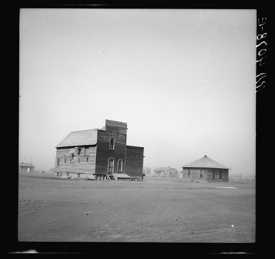
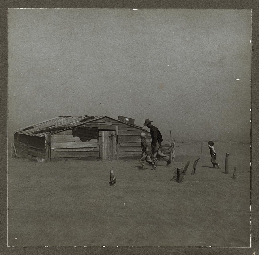
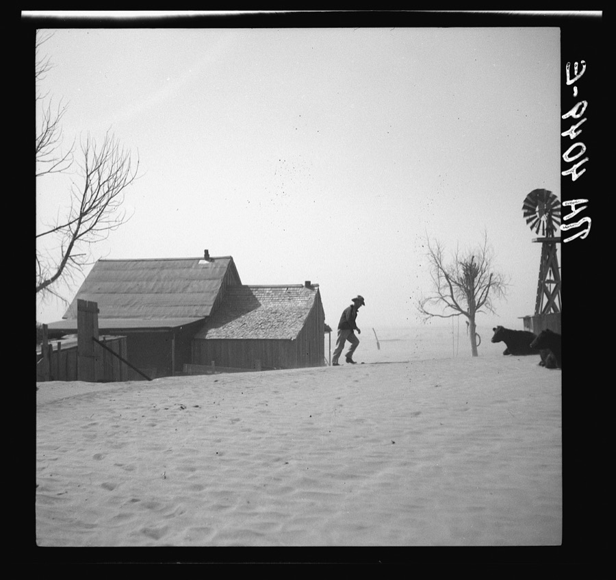
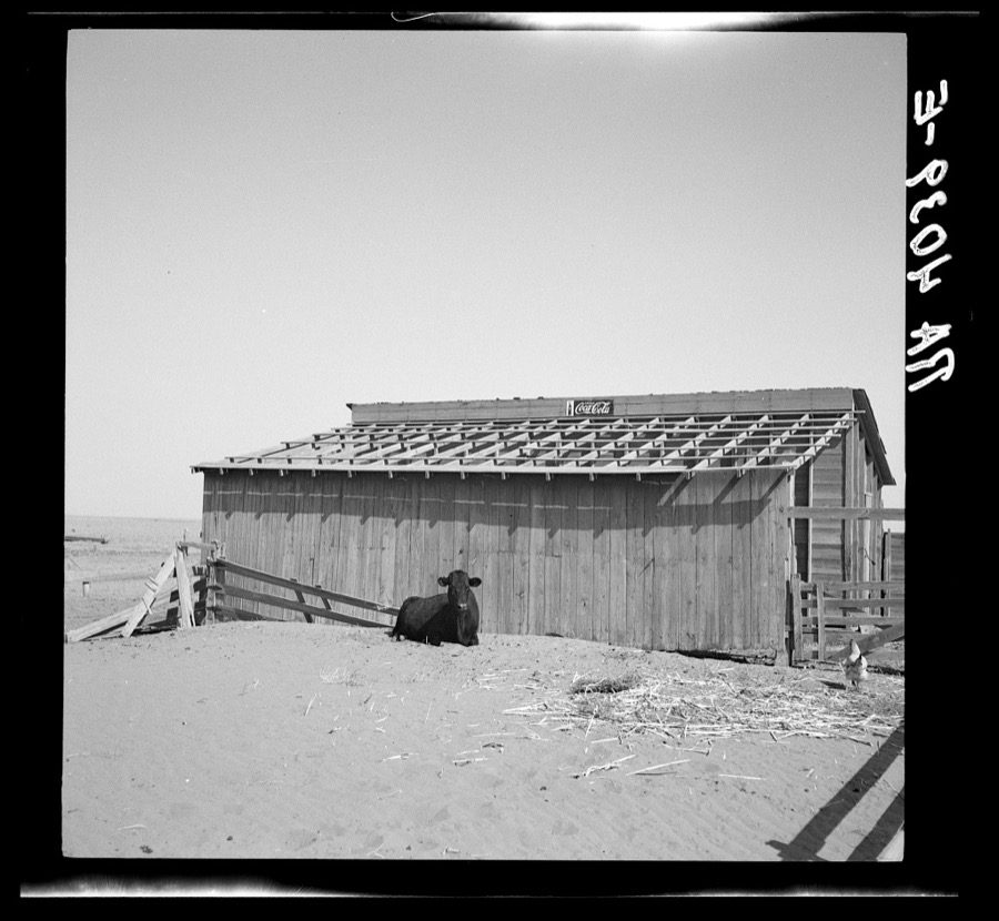
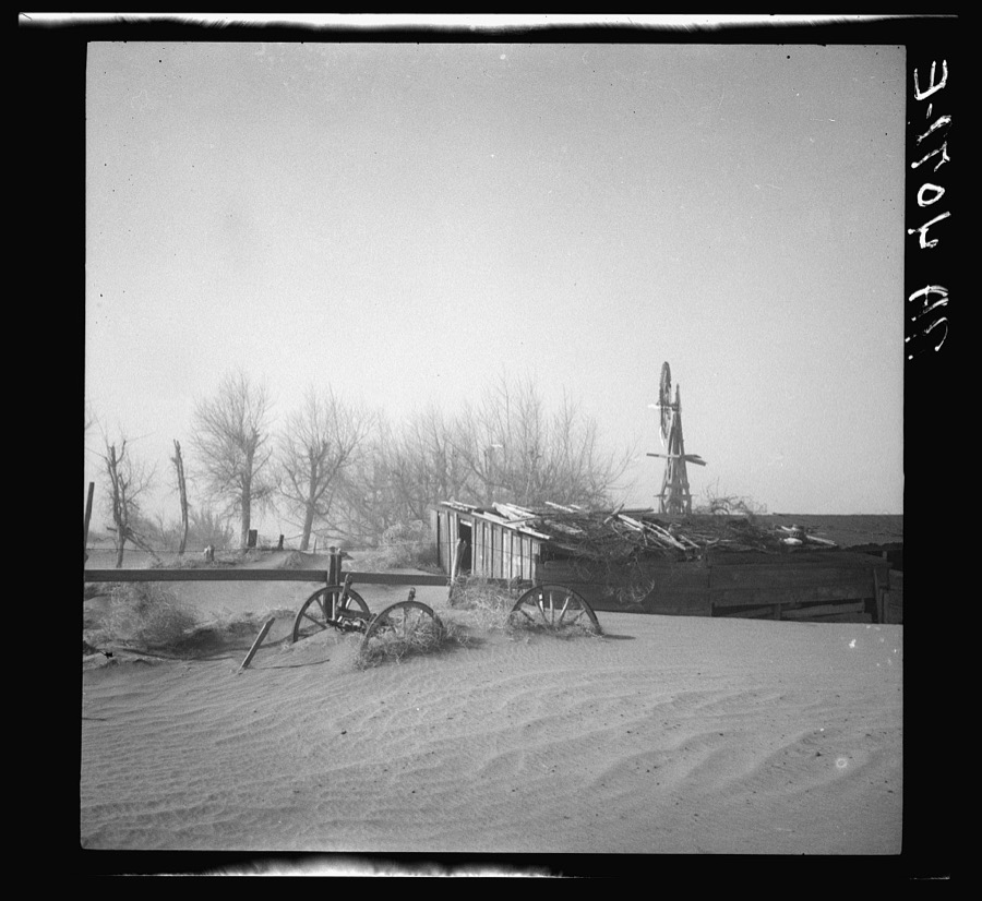
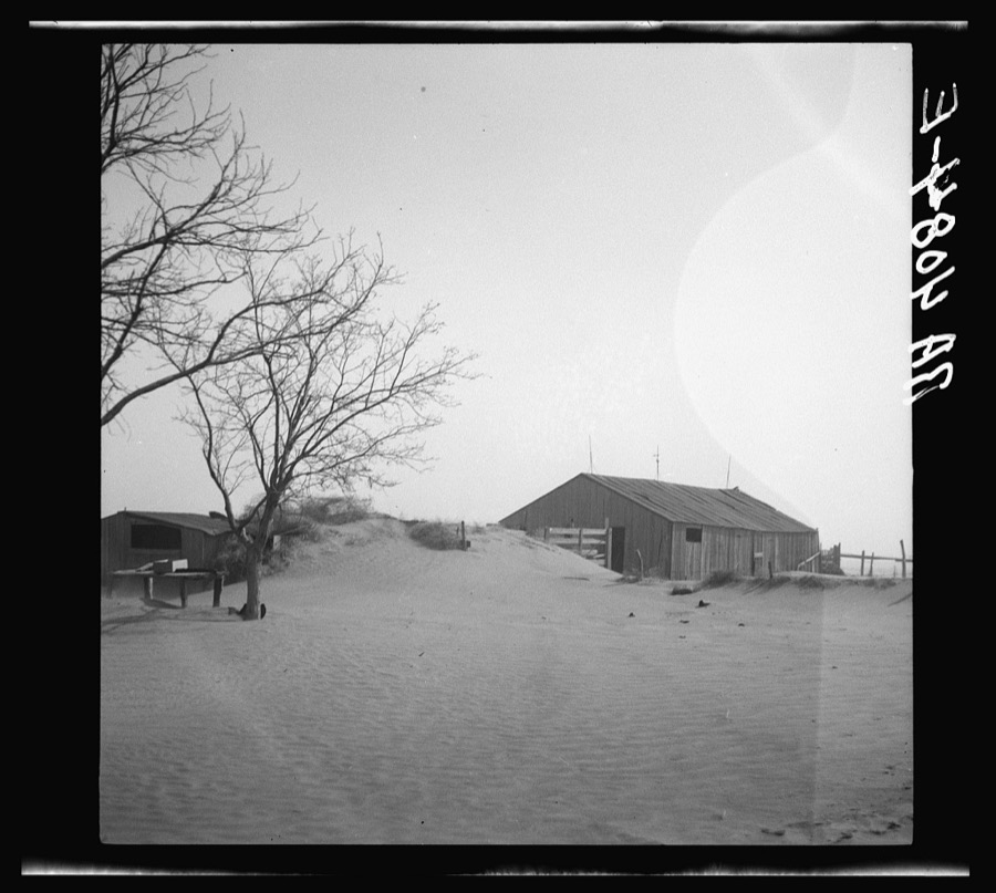
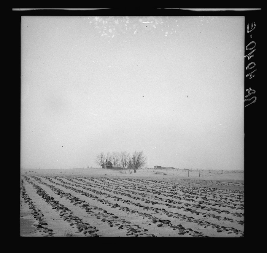

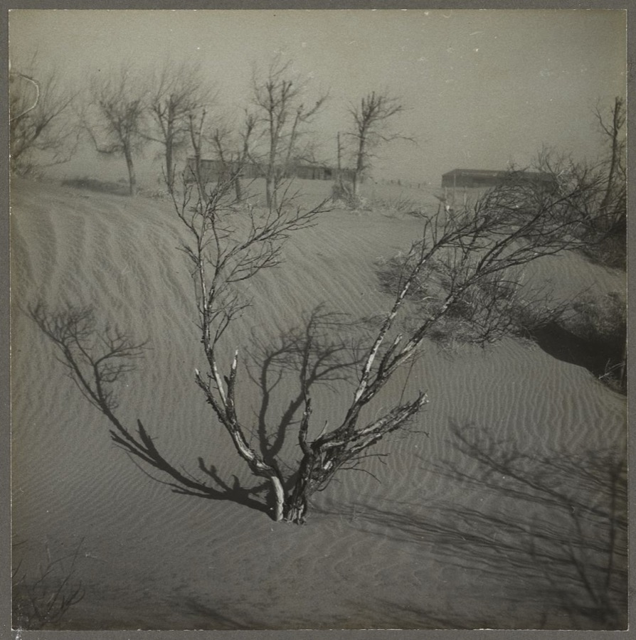

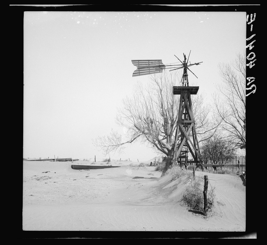
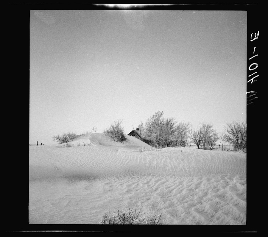
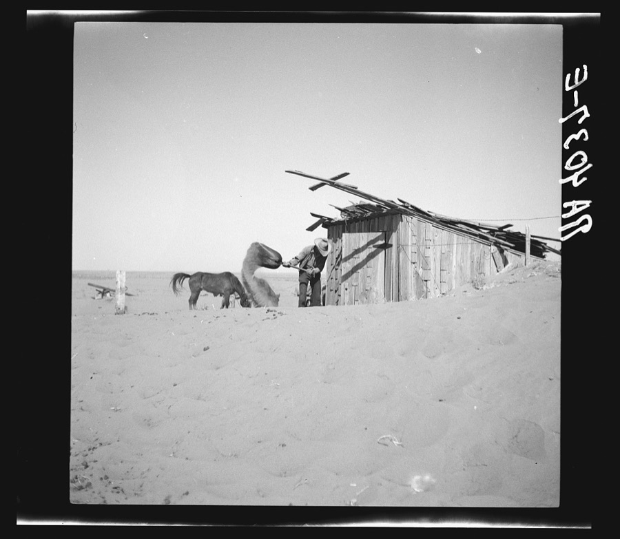
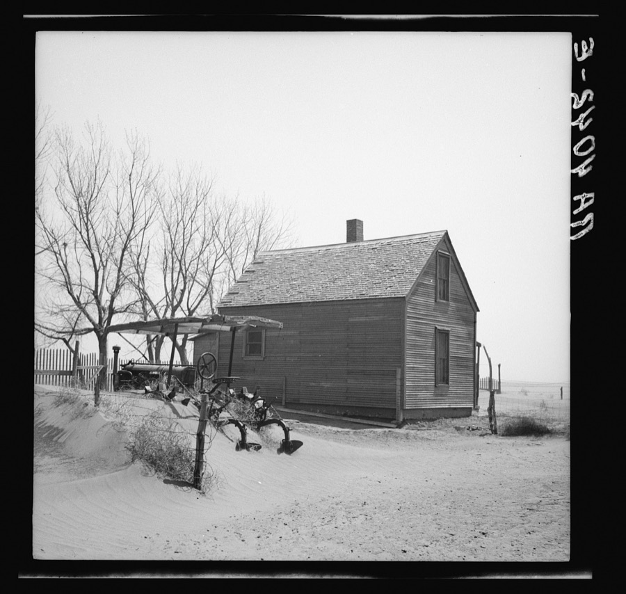
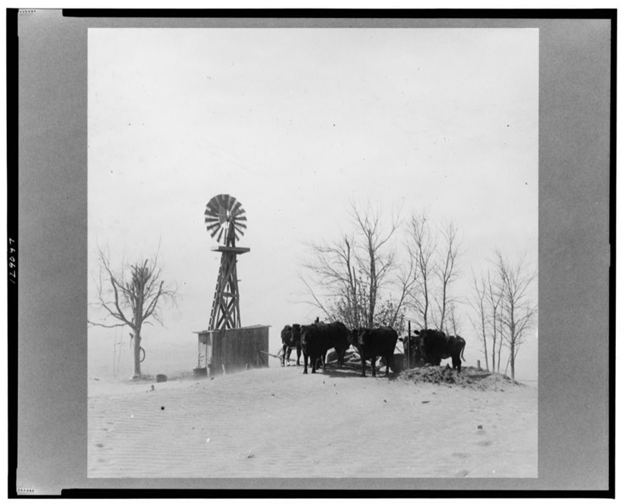
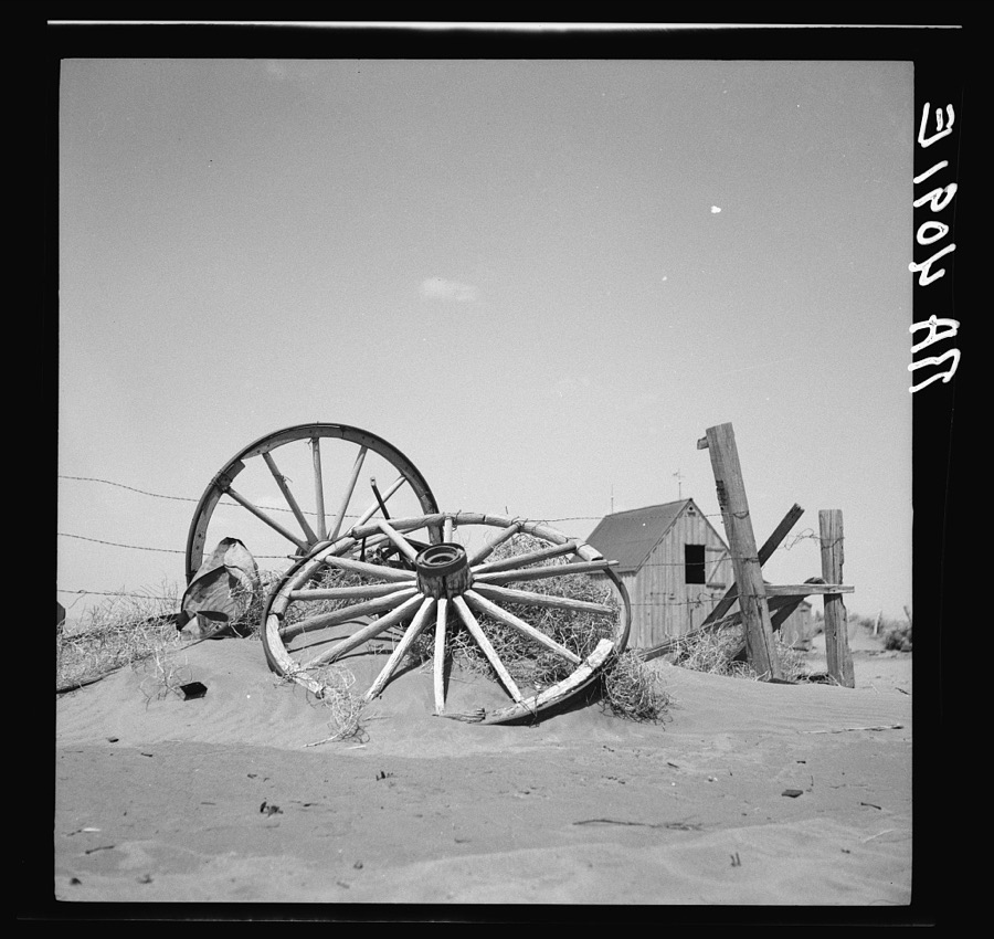

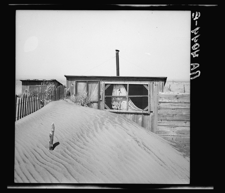
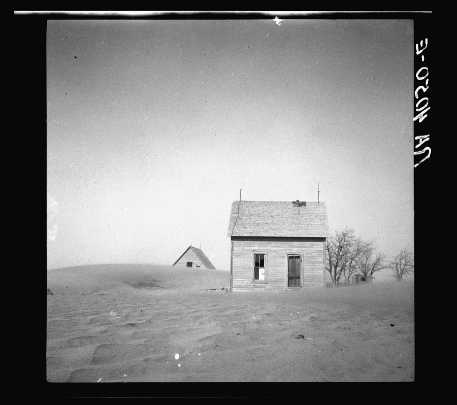
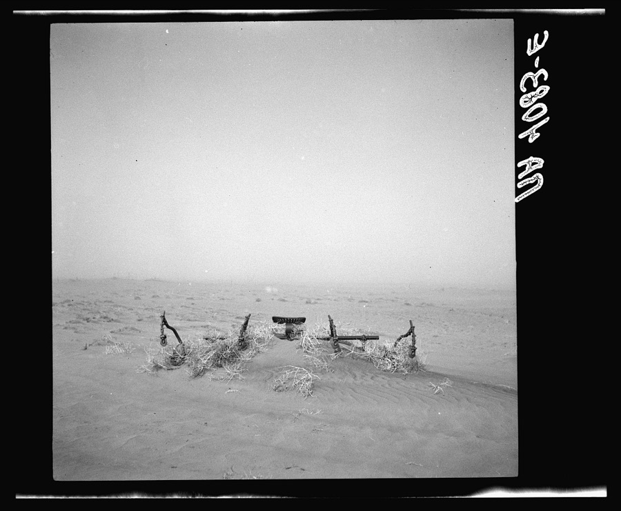
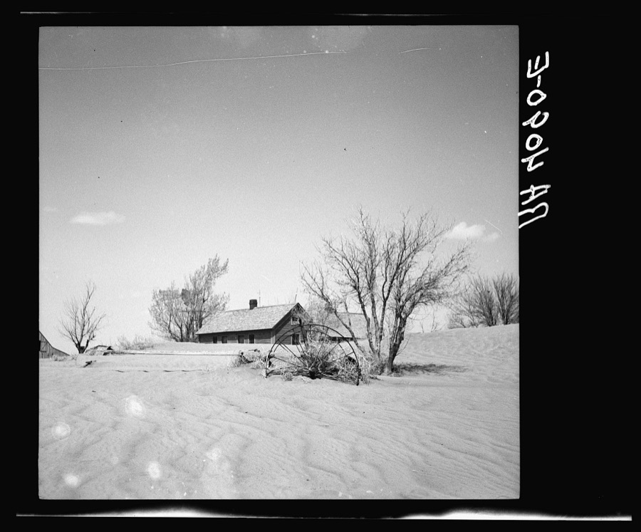
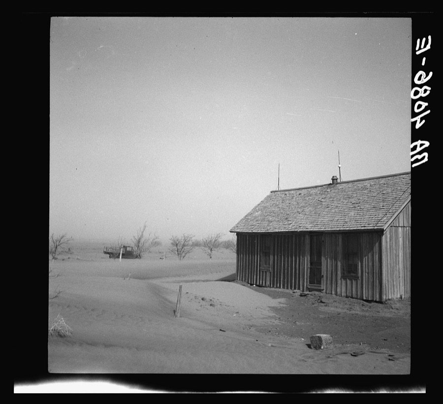
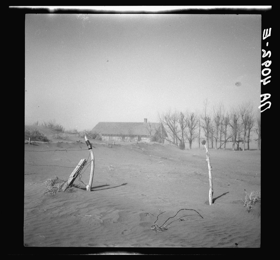

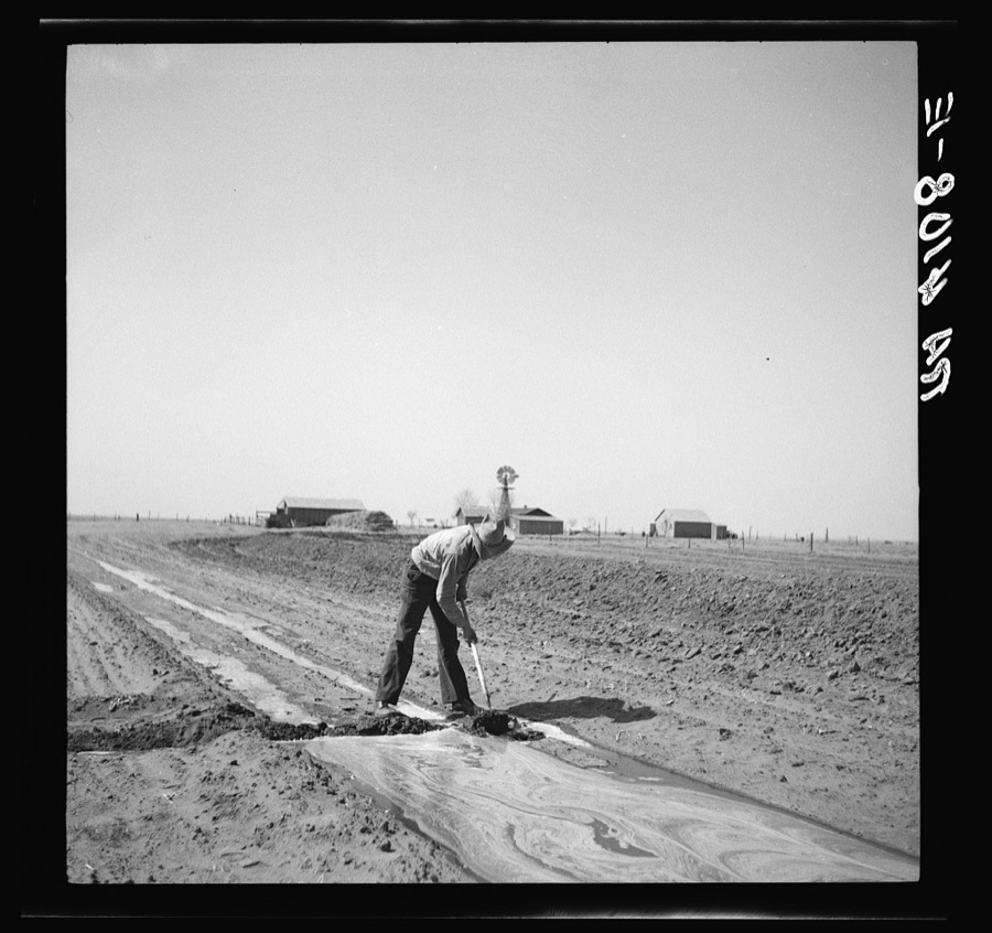
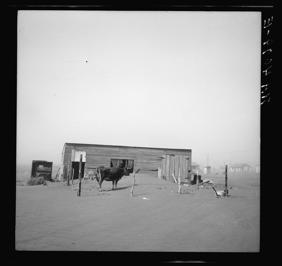
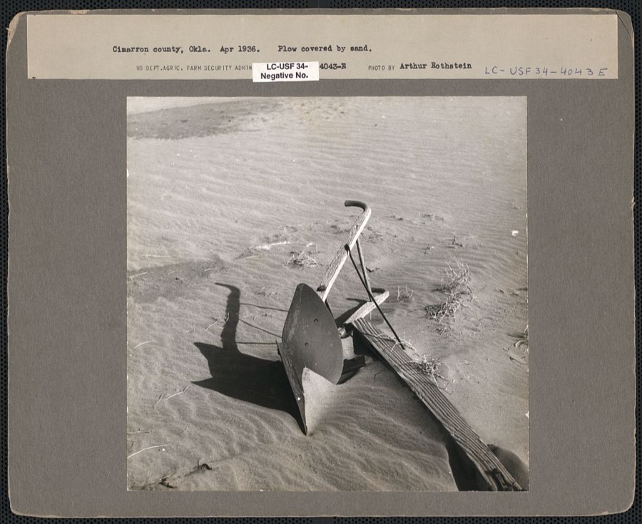
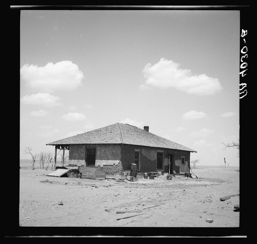
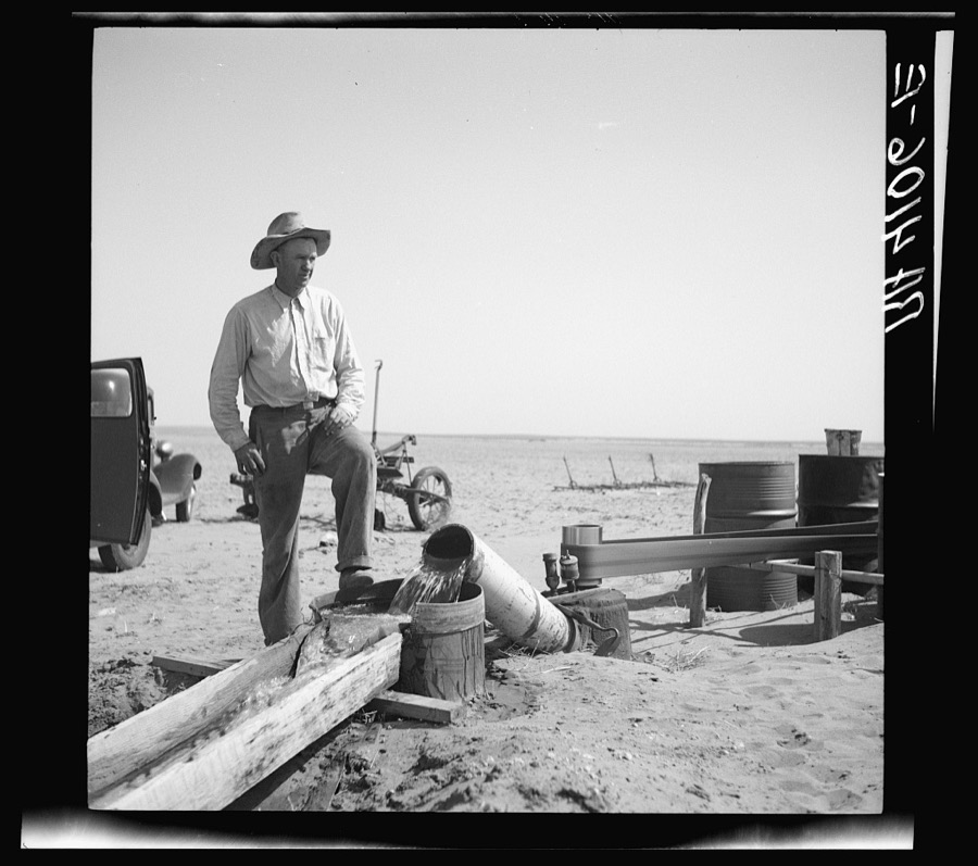
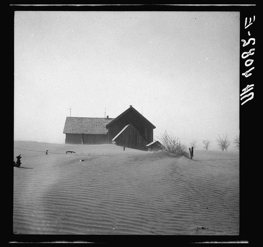
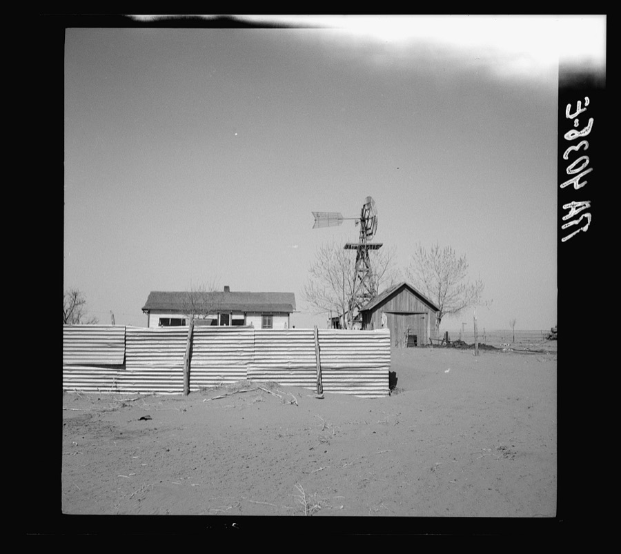
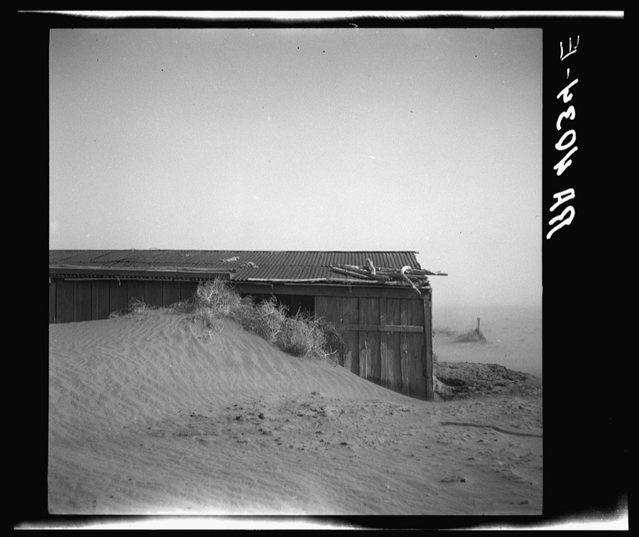
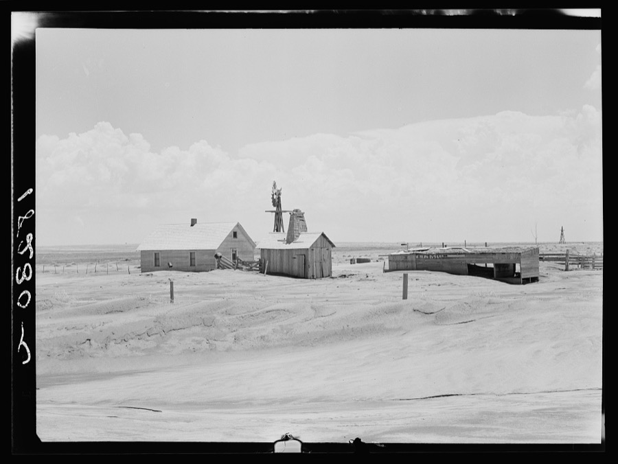
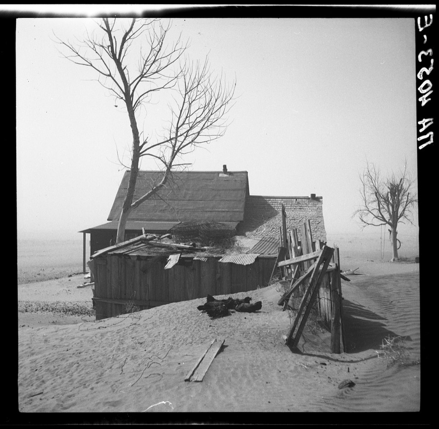
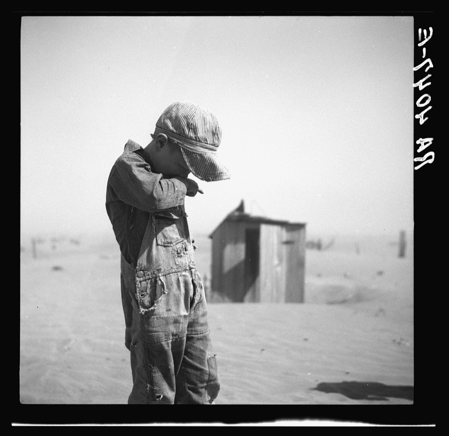
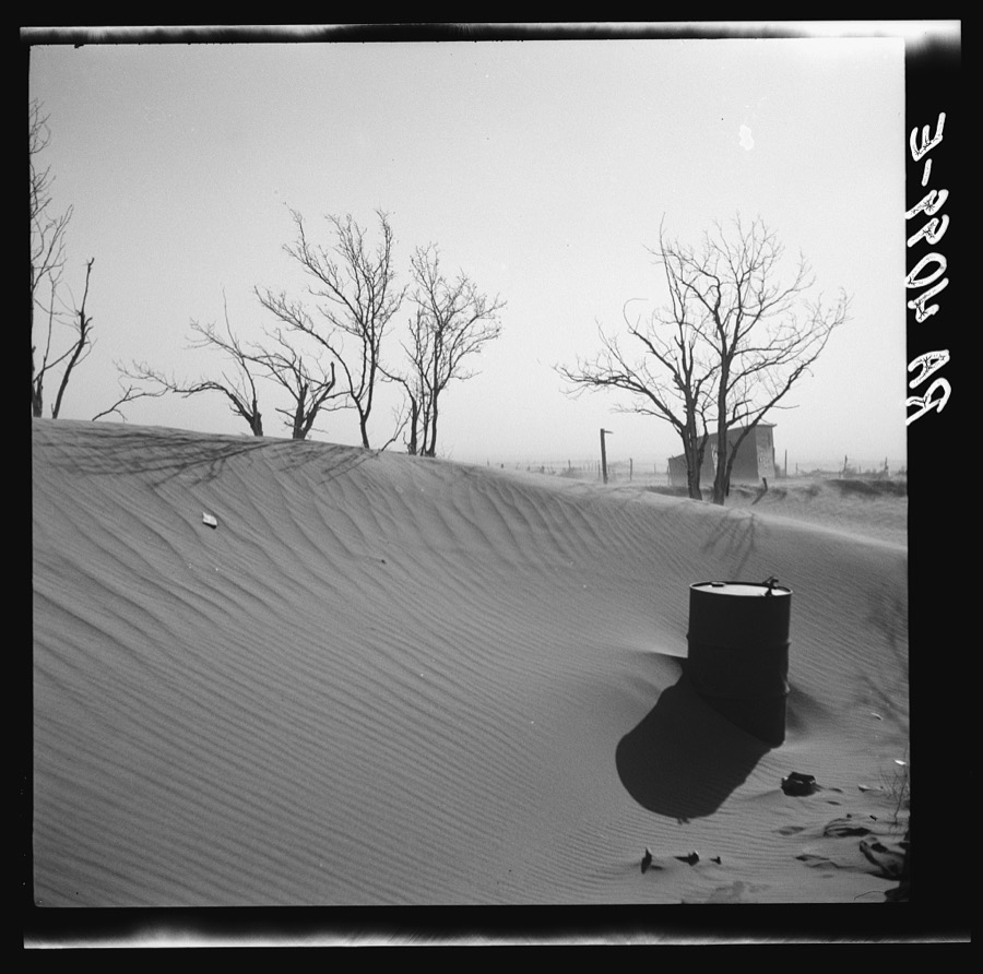
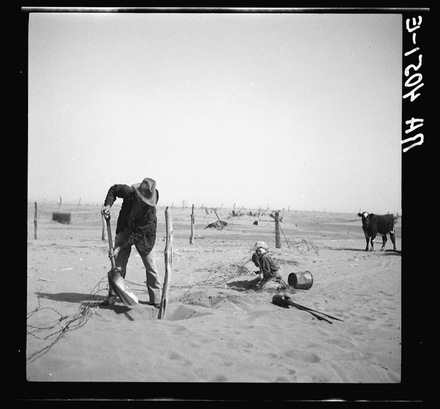
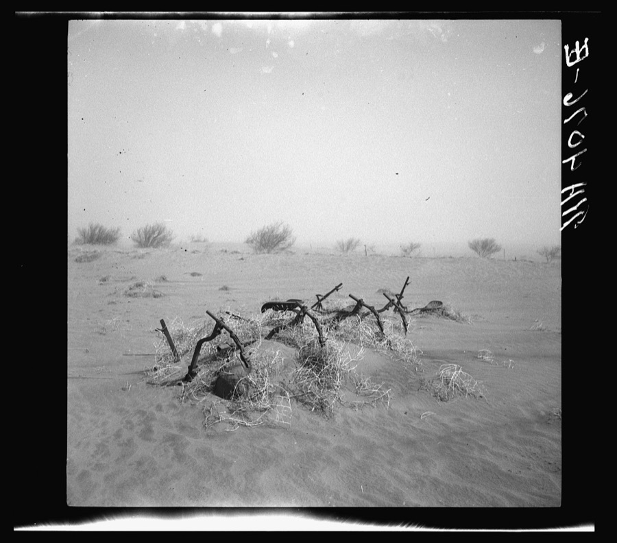
Every property in this county listed on the National Register of Historic Places, with the year it was listed and the federal nomination document.
| Photograph | Property | Type | Listed | Reference |
|---|---|---|---|---|
| Camp Nichols | site | 1966 | 66000628 | |
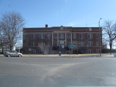 | Cimarron County Courthouse | building | 1984 | 84002988 |
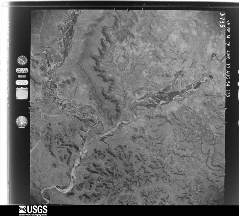
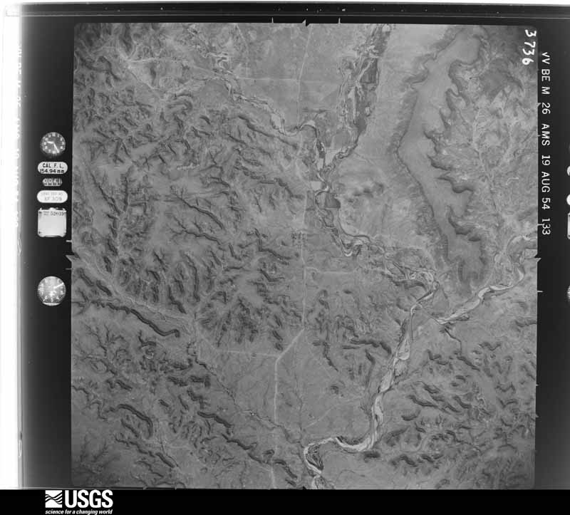
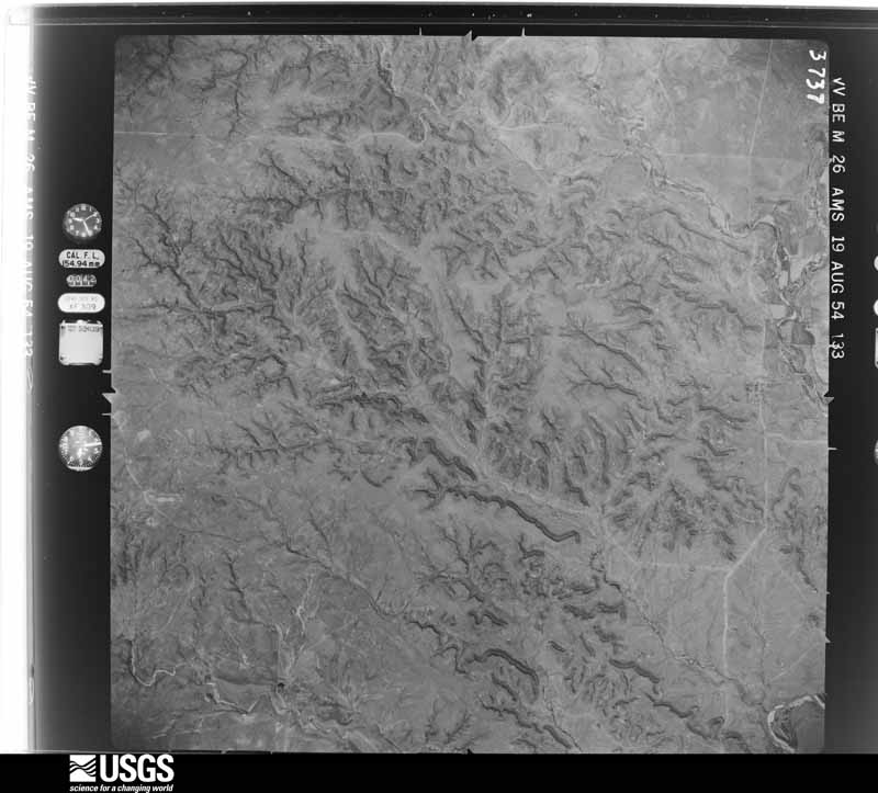
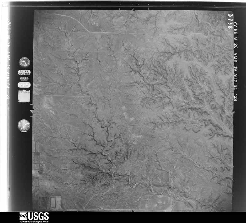
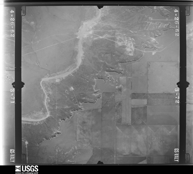
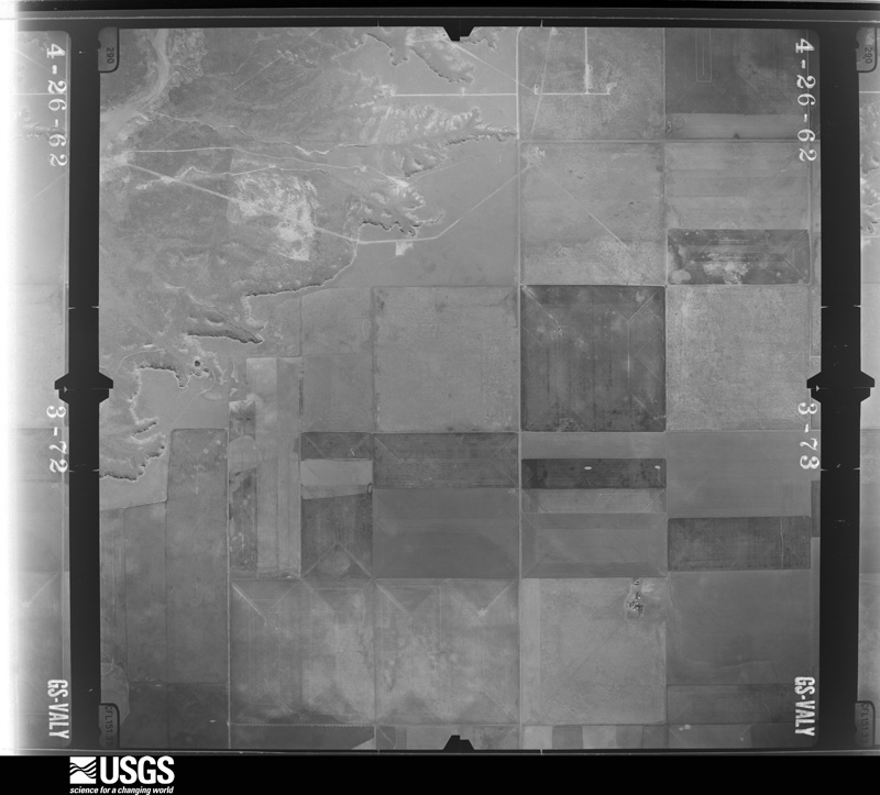
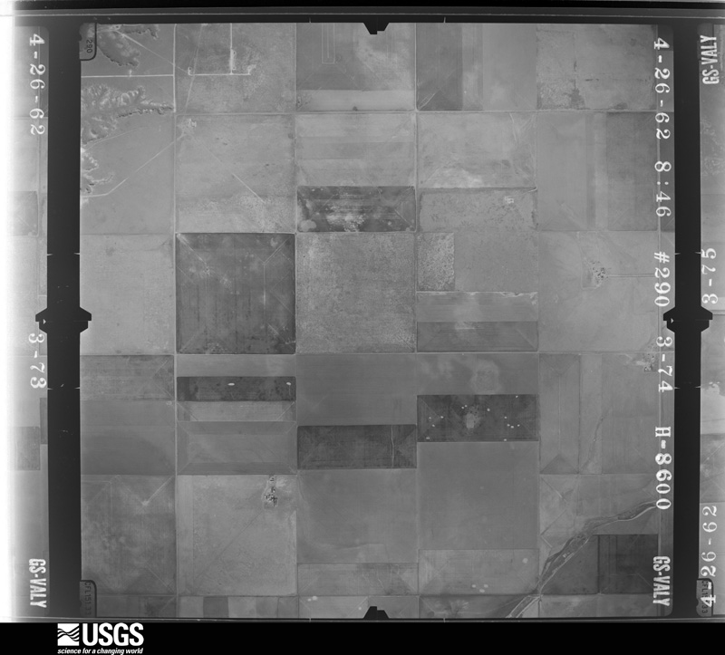
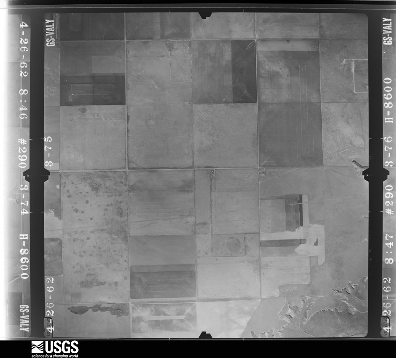
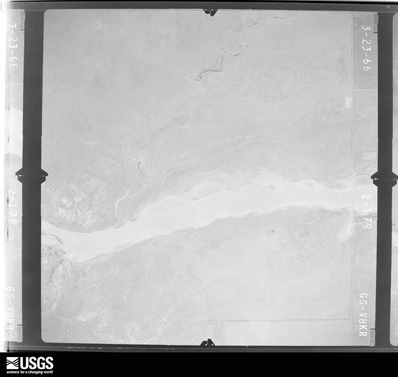
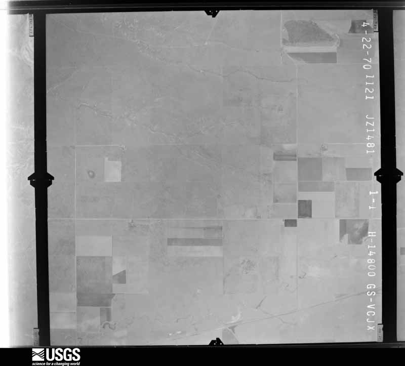
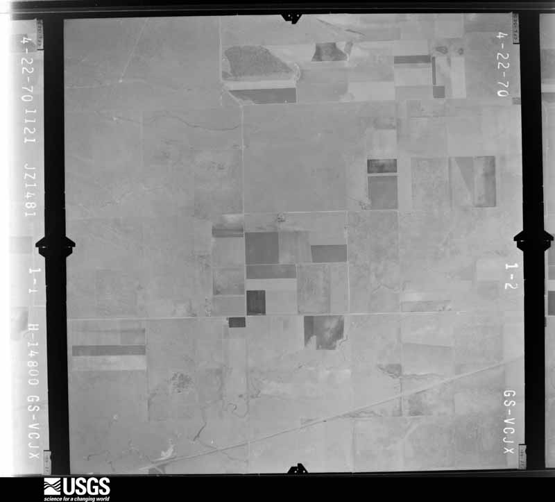
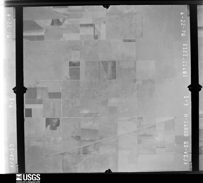
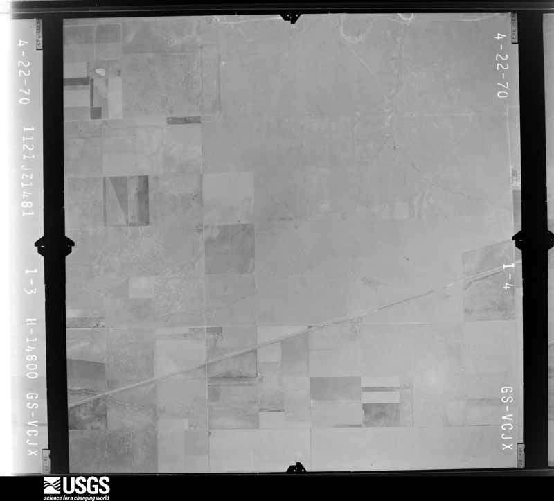
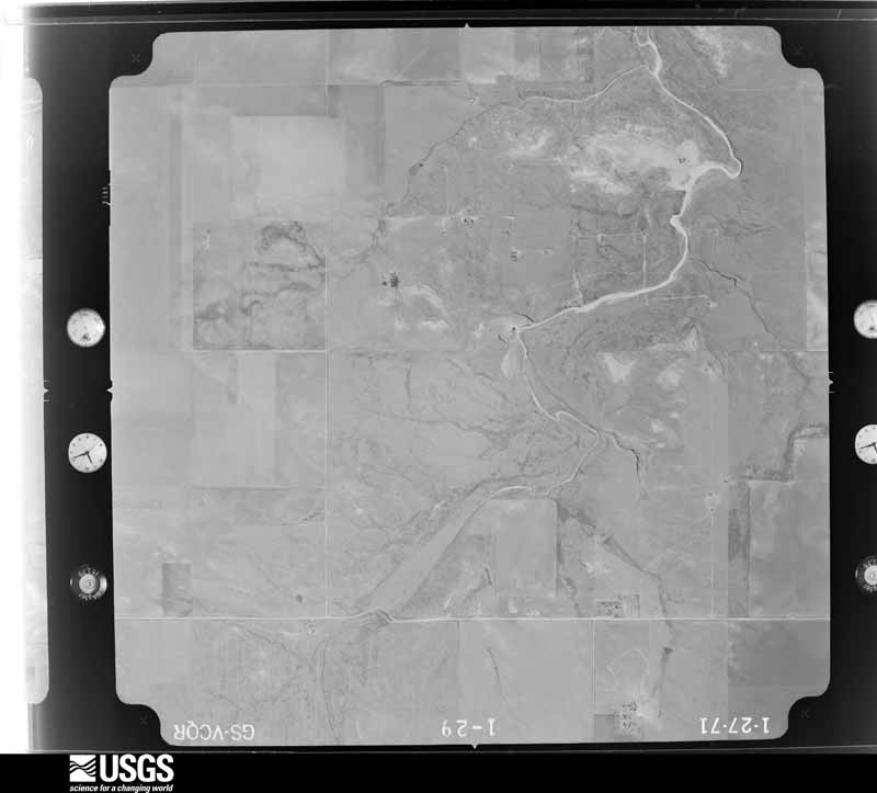
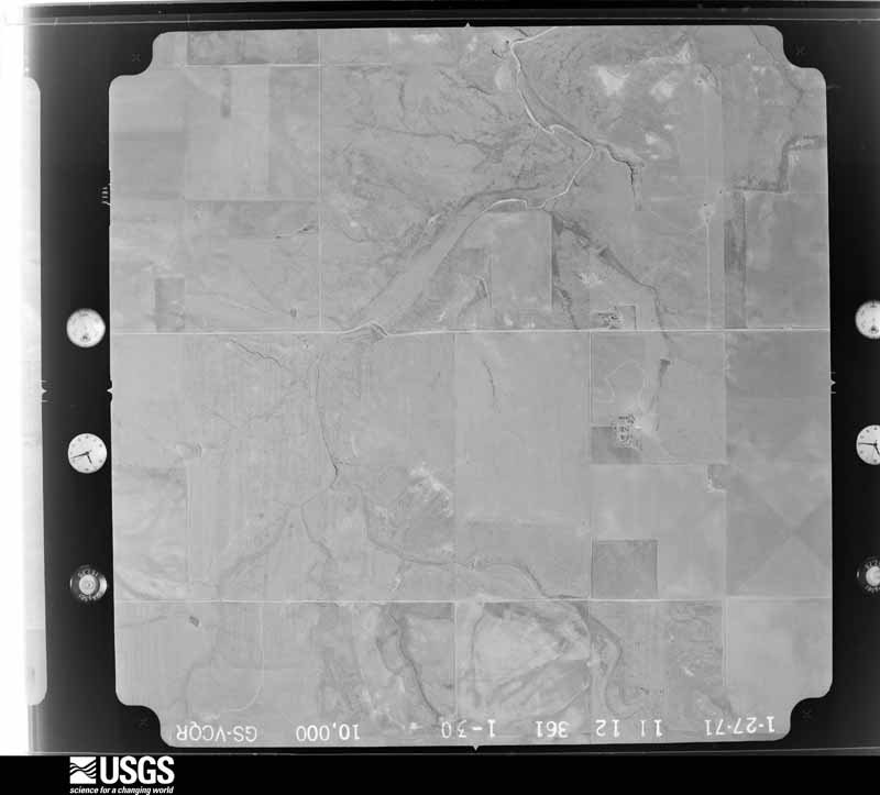
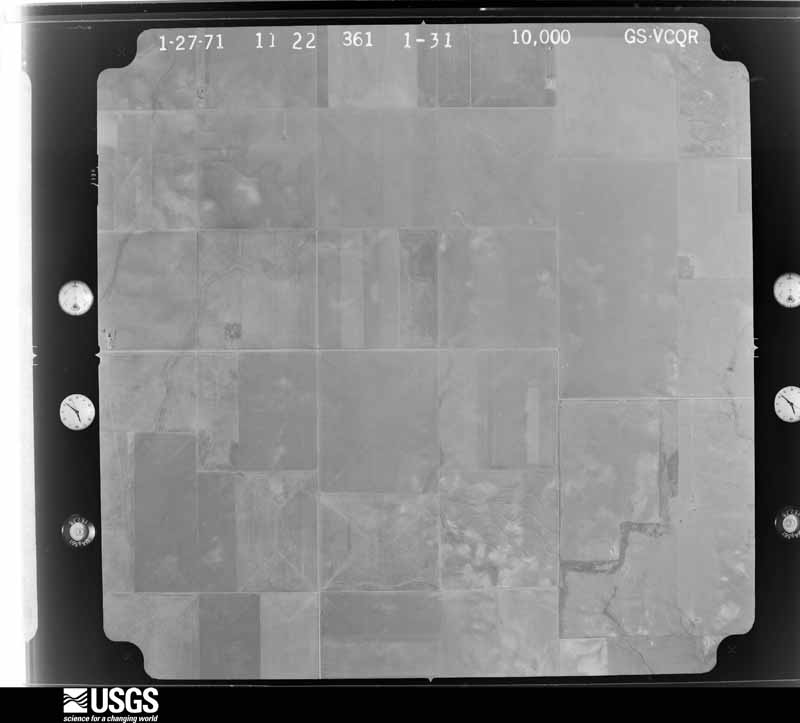
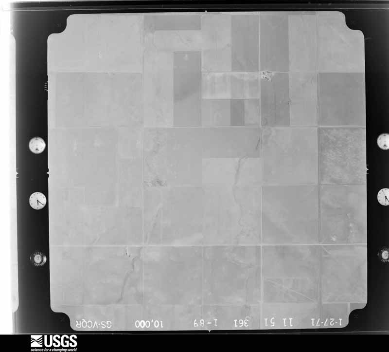
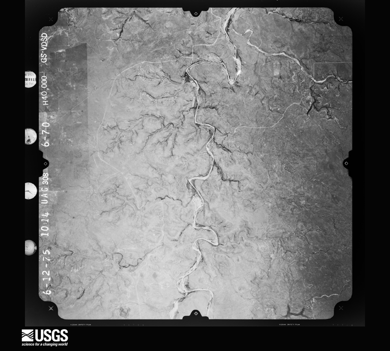
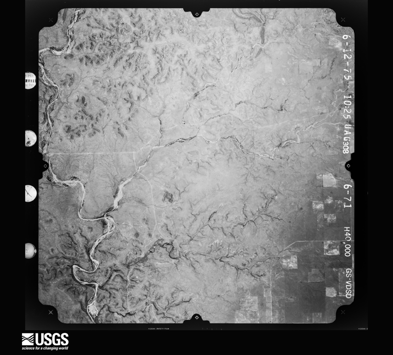
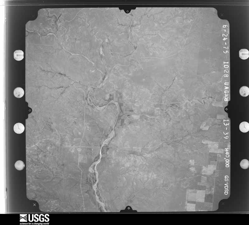
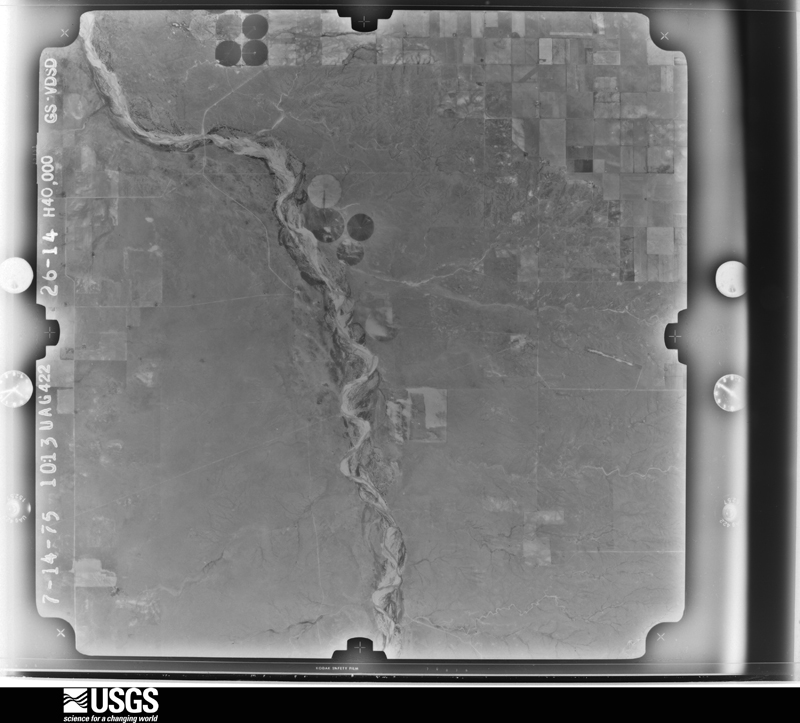
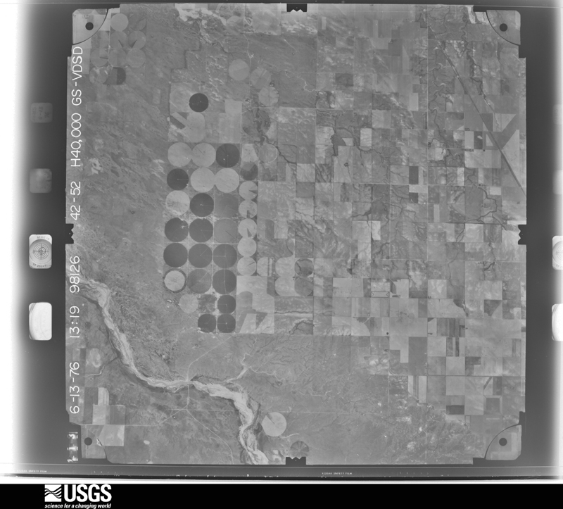
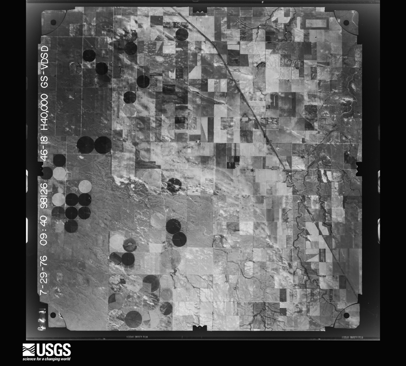
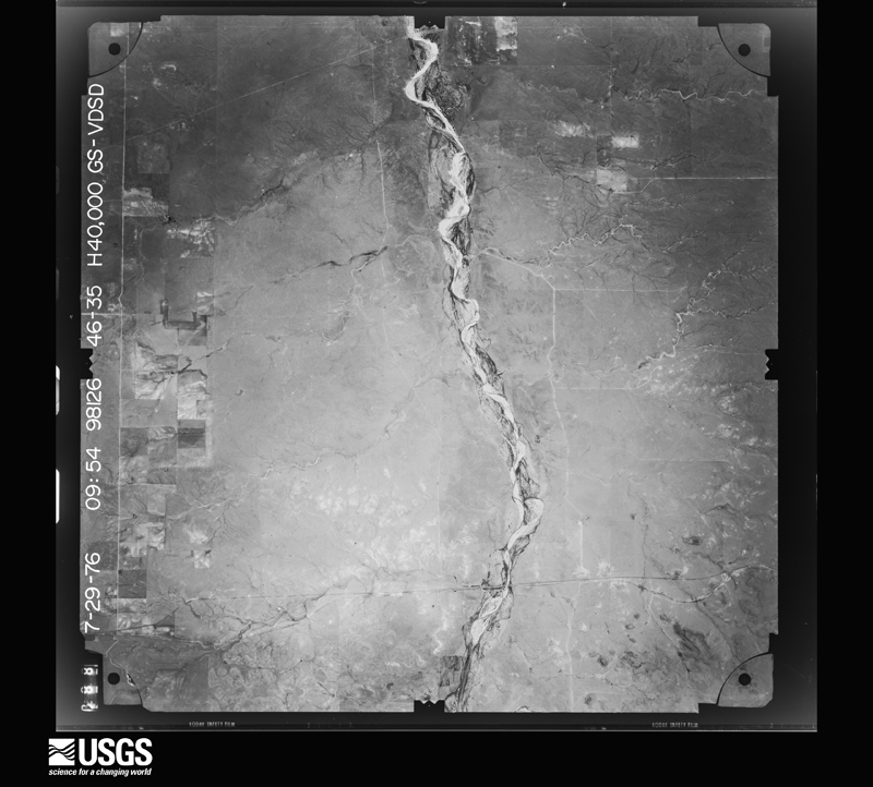
Flown by the U.S. Geological Survey between 1937 and 1989, the Aerial Photo Single Frames collection is the definitive mid-century view of the land: fields, roads and rivers as the camera saw them. The Survey holds 1,943 frames inside the rectangle that bounds this county; the 27 frames below were taken over the county itself, chosen across the decades of flights (at most four a year from that rectangle), so one flight cannot crowd out the rest. The full set is free to browse and download at EarthExplorer under the dataset Aerial Photo Single Frames.



The thermometers that kept this county's weather, and the gages that measured the flow of its streams, as the federal records hold them. The extremes below are measured values from those records, not estimates.
Who lived here in 1950, one enumeration district at a time, as the Census Bureau described each district. Each row opens its official National Archives result, with Population Schedules and ED Maps available there.
Every wildfire the federal occurrence database records inside this county: 18 of them, burning about 31,785 acres. 10 started naturally and none was recorded as arson. Each settlement page carries the fires within five miles of it.
| Reported cause | Fires |
|---|---|
| Natural | 10 |
| Missing data/not specified/undetermined | 5 |
| Power generation/transmission/distribution | 1 |
| Equipment and vehicle use | 1 |
| Smoking | 1 |
The five largest, by the area the report gives. None of them was recorded as arson.
| Date | Cause | Size | Reported by | Name on the report |
|---|---|---|---|---|
| 12 March 2006 | Missing data/not specified/undetermined | 6,343 acres | Cibola National Forest | WINDY |
| 13 December 2005 | Smoking | 6,080 acres | Cibola National Forest | OK STATE LINE |
| 24 May 2018 | Missing data/not specified/undetermined | 6,000 acres | Oklahoma Division of Forestry | 75 ROAD |
| 9 June 2018 | Natural | 5,036 acres | Oklahoma Division of Forestry | PORTER |
| 9 June 2018 | Natural | 4,900 acres | Cimarron District | APPLE |
| 10 February 2000 | Natural | 1,100 acres | New Mexico State Forestry Division | BLIND GAP |
| 24 July 2005 | Natural | 780 acres | Pike and San Isabel National Forest | ECHO |
| 22 August 2007 | Natural | 500 acres | Texas A & M Forest Service | not named |
Every settlement page carries the fires within five miles of it - see the settlement index below.
The NOAA Storm Events Database holds 529 reports for this county, causing 1 death, 6 injuries and about $3,681,340 in recorded property damage. Each settlement page carries the reports that name it.
| Kind of event | Reports |
|---|---|
| Hail | 284 |
| Thunderstorm Wind | 164 |
| Tornado | 56 |
| Flash Flood | 11 |
| Flood | 5 |
| Funnel Cloud | 4 |
| Lightning | 2 |
| Heavy Rain | 2 |
| Drought | 1 |
The most serious of them, by death, then injury, then recorded damage. The accounts are quoted exactly as the forecast office filed them.
| When | Event | Place named | Harm | What the report says |
|---|---|---|---|---|
| August 1997 | Lightning | Boise City | 1 killed | A man was riding a horse at Black Mesa StatePark around Lake Carl Etling and were struck by lightning.Both the man and the horse were killed instantly. |
| May 2000 | Lightning | Boise City | 3 hurt | Three men were injured when lightning struck their pickup truck as they were getting out during a thunderstorm. |
| June 1992 | Tornado (F1) | not stated | 2 hurt, $2,500,000 | no account filed |
| June 1961 | Tornado (F2) | not stated | 1 hurt, $2,500 | no account filed |
| April 1971 | Tornado (F2) | not stated | $250,000 | no account filed |
| July 2025 | Thunderstorm Wind | Felt | $150,000 | Downburst winds occurred near and three miles north of Felt. Windows were blown out of two cars in Felt. The roofs of a feed lot three miles north of Felt and at surrounding houses were torn but not completely ripped off. Six power poles were knocked down and some were completely snapped. Small trees were snapped in two and large trees had branches snapped off. A few irrigation pivots were knocked over and broken. A stop sign was uprooted and tossed 300 feet north-northeast of its original location. All of this damage supports a downburst with winds likely over 80mph. |
| June 2008 | Hail | Kenton | $100,000 | The Boise City News reported that the siding of one home in Kenton had major damage while other homes in Kenton had the windows and siding on the east side of the homes badly damaged. On the west side of Kenton...several homes sustained severe hail damage. |
| May 1996 | Tornado (F1) | Felt | $100,000 | no account filed |
| July 2023 | Thunderstorm Wind | Boise City | $62,000 | Report from emergency manager of an unknown number of downed power lines on EW 21 RD between NS 30 and NS 36 RD. |
| May 2001 | Thunderstorm Wind | Boise City | $60,000 | Tractor trailer reported blown over. |
| June 2000 | Thunderstorm Wind | Felt | $50,000 | Law enforcement officials reported considerable damage to a couple of mobile homes...one house lost the back porch...and a shop was destroyed. |
| July 1994 | Hail | Felt | $50,000 | Tri County Electric reported golf ball-size hail. Several roofs were damaged and numerous trees were stripped of their leaves. |
| May 2003 | Tornado (F1) | Wheeless | $45,000 | The tornado remained over open country. No injuries were reported. |
| June 2020 | Thunderstorm Wind | Kenton | $30,000 | A double wide manufactured home was rolled over near Kenton. |
| August 2006 | Flash Flood | Keyes | $28,000 | no account filed |
| June 1995 | Hail | Boise City | $25,000 | Large hail damaged a few cars caught on the open road. |
| May 1988 | Tornado (F1) | not stated | $25,000 | no account filed |
| May 1977 | Tornado (F4) | not stated | $25,000 | no account filed |
| April 1971 | Tornado (F1) | not stated | $25,000 | no account filed |
| August 1962 | Tornado (F1) | not stated | $25,000 | no account filed |
| October 1950 | Tornado (F1) | not stated | $25,000 | no account filed |
| May 2010 | Tornado (EF1) | Felt | $20,000 | The tornado entered Cimarron County in the western Oklahoma Panhandle...about twelve miles west of Felt...from Union County in New Mexico at approximately 2035 CST. The tornado remained on the ground for about six miles in Cimarron County with a maximum path width of four hundred and forty yards. A steel windmill tower was destroyed and three twenty-four foot metal feed troughs were also destroyed along with considerable fence damage. No injuries were reported. The tornado dissipated at 2047 CST between six and seven miles west of Felt. |
| August 2013 | Hail | Keyes | $16,000 | A discrete thunderstorm developed across western Cimarron County during the early evening hours of the 7th. The thunderstorm quickly intensified and after initially on a northward track the storm turned to the east. As the thunderstorm moved over the town of Keyes (Cimarron County), a Cimarron County Sheriff's Deputy reported baseball size hail (2.75 inches) broke out 8 county vehicle windshields. After producing this hail the thunderstorm continued moving to the east before dissipating over western Texas County. |
| June 2004 | Tornado (F0) | Felt | $10,000 | The tornado touched down over open country and the path length and path width were estimated. No injuries occurred from this tornado...however an irrigation pivot was damaged. |
| May 2010 | Thunderstorm Wind | Wheeless | $8,000 | A trained spotter estimated thunderstorm wind gusts in excess of sixty-one knots which downed trees and power lines. |
| May 1994 | Thunderstorm Wind | Northern Hugo Lake | $5,000 | Weather spotters reported dime-size hail at Black Mesa State Park and northwest of Boise City. No damage reported. |
| June 1994 | Hail | Boise City | $5,000 | Hail up to golf ball-size reported by KYGN radio caused damage to autos and windshields in Boise City. |
| June 1994 | Hail | Boise City | $5,000 | Hail up to golfball size reported by KYGN radio caused damage to autos and windshields in Boise City. |
| June 2025 | Hail | Regnier | $5,000 | no account filed |
| September 1993 | Hail | Keyes | $5,000 | no account filed |
| June 2010 | Thunderstorm Wind | Griggs | $4,000 | The public reported that the thunderstorm wind gusts sheared off three power poles in the middle and a large tree was uprooted. Also...a few dumpsters had been blown over by the strong winds. No injuries were reported. |
| July 2020 | Thunderstorm Wind | Boise City | $3,000 | In Boise City, strong winds brought down 2 -inch-diameter tree limbs, and peeled back metal roofing at a lumber yard. |
| April 2007 | Thunderstorm Wind | Boise City | $3,000 | A wooden shed was reportedly blown down by the high winds. No injuries were reported. |
| June 1981 | Tornado (F0) | not stated | $2,500 | no account filed |
| April 1971 | Tornado (F0) | not stated | $2,500 | no account filed |
| April 1960 | Tornado | not stated | $2,500 | no account filed |
| June 1951 | Tornado (F1) | not stated | $2,500 | no account filed |
| June 2025 | Tornado (EFU) | Boise City | $2,000 | This tornado pushed a semi-truck off the highway into a ditch approximately six miles north of Boise City on Highway 287. This tornado was later seen by a storm spotter further to the southeast. There is no known damage otherwise with this tornado. |
| June 2025 | Hail | Regnier | $2,000 | no account filed |
| October 2007 | Thunderstorm Wind | Keyes | $500 | High winds reported to have relocated several objects and a heavy wheat drill was damaged. |
| May 1977 | Tornado (F2) | not stated | $250 | no account filed |
| August 1983 | Tornado (F0) | not stated | $30 | no account filed |
| July 1982 | Tornado (F0) | not stated | $30 | no account filed |
| June 1982 | Tornado (F0) | not stated | $30 | no account filed |
| June 2025 | Tornado (EFU) | Keyes | - | This tornado was captured on storm chaser video. It quickly became rain wrapped and therefore it is unclear exactly how long it remained on the ground. It appears to have stayed to the north of Highway 64 in an open field. |
| June 2025 | Tornado (EFU) | Felt | - | This tornado remained in open grassland causing no damage. The only damage indicator it crossed was a powerline on E0330 Road which was not damaged. It did result in flattened grass along a portion of its track. The total track length was around 6.6 miles. |
| May 2024 | Tornado (EFU) | Boise City | - | This tornado occurred in open field near the Santa Fe Trail campground in northwest Cimarron County. No damage is known from this tornado. It was observed and captured via photographic evidence by a storm spotter in that area. It was on the ground for at least a minute, before becoming obscured by rain and may have lifted soon after. |
| July 2024 | Thunderstorm Wind | Keyes | - | Several large branches were broken off of a hardwood tree and at least one tree was uprooted with another large hardwood tree that was snapped near the base of the trunk along E0070 Rd. |
| June 2024 | Thunderstorm Wind | Boise City | - | A report was received of 25 train cars laid over from thunderstorm winds. No injuries were reported. |
| August 2023 | Thunderstorm Wind | Griggs | - | Tree branches around 5 in diameter were taken down by thunderstorm winds. |
| August 2023 | Thunderstorm Wind | Wheeless | - | Some trees were blown over from thunderstorm winds. |
| August 2023 | Thunderstorm Wind | Boise City | - | A barn was damaged and partially collapsed from thunderstorm winds. |
| August 2023 | Thunderstorm Wind | Boise City | - | Another barn was damaged here by the thunderstorm winds. |
| July 2023 | Thunderstorm Wind | Boise City | - | Multiple large (4+ inch diameter) tree | branches were knocked down. A few out | buildings and sheds were damaged or | destroyed by straight line winds. |
| June 2023 | Thunderstorm Wind | Keyes | - | Emergency Manager reported to the NWS that some powerlines were knocked down on the north side OF HWY 56. |
| June 2023 | Hail | Kenton | - | A thunderstorm moved form the northwest corner of the county southeast to just northeast of Boise City dropping hail between 1 to 2.5 in diameter. |
| June 2023 | Tornado (EFU) | Felt | - | This tornado touched down in southern Cimarron County and|remained in an open field, resulting in no damage. It was on the|ground for a few minutes and less than two miles before lifting.|Given the lack of damage, but witnessed by multiple storm|spotters and chasers, an EFU rating is given to this tornado. |
| June 2023 | Hail | Felt | - | A storm moved ESE across southern Cimarron County dropping hail between 1 and 2.75 in diameter. |
| June 2023 | Hail | Wheeless | - | Multiple reports of hail between 1 and 1.75 in diameter were received from 6 miles east of Wheeless to 10 miles NNE of Felt. A trained spotter did report hail accumulating up to 3 deep 10 NNE of Felt. |
| June 2023 | Tornado (EFU) | Felt | - | This tornado developed in an open field and was documented by|storm chasers and trained spotters. It did not hit anything|before dissipating, thus it is rated an EFU damage rating. |
The Survey's mineral resources record lists 30 workings inside this county. 5 still produce and 25 are closed or unrecorded. Each settlement page carries the workings within five miles of it.
| Commodity | Workings |
|---|---|
| Sand and Gravel, Construction | 15 |
| Copper | 7 |
| Limestone, General | 6 |
| Clay | 1 |
| Limestone, General, Sand and Gravel, Construction | 1 |
The least common of them first, because a county's hundredth gravel pit says nothing its first ten did not.
| Where | Site | Commodity | Status | Recorded |
|---|---|---|---|---|
| Unknown Caliche Pit | Limestone, General, Sand and Gravel, Construction | Past Producer | ||
| Unknown Shale Pit | Clay | Producer | ||
| Unknown Caliche Pit | Limestone, General | Past Producer | ||
| Unknown Caliche Pit | Limestone, General | Past Producer | ||
| Unknown Caliche Pit | Limestone, General | Past Producer | ||
| Unknown Caliche Pit | Limestone, General | Past Producer | ||
| Unknown Caliche Pit | Limestone, General | Producer | ||
| Unknown Caliche Pit | Limestone, General | Producer | ||
| Heppard Copper Prospect | Copper | Occurrence | ||
| Labrier Copper Prospect | Copper | Occurrence | ||
| Labrier Copper Prospects | Copper | Occurrence | ||
| Wiggins Copper Prospect 1 | Copper | Occurrence | ||
| Wiggins Copper Prospect 2 | Copper | Occurrence | ||
| Wiggins Copper Prospect 3 | Copper | Occurrence | ||
| Wiggins Copper Prospects | Copper | Occurrence | ||
| Unknown Gravel Pit | Sand and Gravel, Construction | Past Producer | ||
| Unknown Gravel Pit | Sand and Gravel, Construction | Past Producer | ||
| Unknown Gravel Pit | Sand and Gravel, Construction | Past Producer | ||
| Unknown Gravel Pit | Sand and Gravel, Construction | Past Producer | ||
| Unknown Gravel Pit | Sand and Gravel, Construction | Unknown | ||
| Unknown Gravel Pit | Sand and Gravel, Construction | Past Producer | ||
| Unknown Gravel Pit | Sand and Gravel, Construction | Past Producer | ||
| Unknown Gravel Pit | Sand and Gravel, Construction | Past Producer | ||
| Unknown Gravel Pits | Sand and Gravel, Construction | Producer | ||
| Unknown Sand Pit | Sand and Gravel, Construction | Past Producer | ||
| Unknown Sand Pit | Sand and Gravel, Construction | Unknown | ||
| Unknown Sand Pit | Sand and Gravel, Construction | Past Producer | ||
| Unknown Sand Pit | Sand and Gravel, Construction | Past Producer | ||
| Unknown Sand Pit | Sand and Gravel, Construction | Producer | ||
| Unknown Sand Pit | Sand and Gravel, Construction | Past Producer |
Named settlements recorded in the Geographic Names Information System, each with the topographic sheets covering it. Villages, hamlets and abandoned places alike. Each is shown with the nearest named watercourse or landform and the survey quadrangle it falls on. The 1 place that was also surveyed for fire insurance comes first, with the number of atlases and photographs held for them.
Boise City census division · 73933 · Boise City quadrangle
8 sheets, 1954 to 1982
Fire insurance: 2 atlases
Boise City census division · 73933 · Near Wolf Mountain · Razor Blade Mesa quadrangle
7 sheets, 1954 to 1982
Boise City census division · 73946 · On Carrizozo Creek · Kenton quadrangle
9 sheets, 1954 to 1982
Boise City census division · 73946 · Near Pat Canyon · Kenton NE quadrangle
7 sheets, 1954 to 1982
8 topographic sheets and 2 fire insurance atlases, 1919