 Block
Griggs, Oklahoma
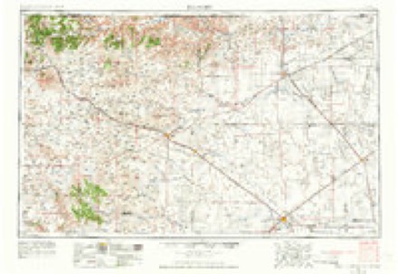
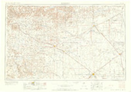
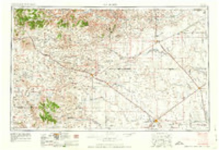
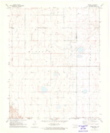
7 topographic sheets cover this place, the earliest surveyed in 1954 and the latest in 1982. It stands in the Keyes census division. It lies in ZIP code area 73949. The Survey maps it on the Griggs quadrangle. It stands 3,822 feet above sea level.
Topographic sheets covering this place
5 surveys from 7 printed sheetsMatched by testing this settlement's coordinate against the published boundary of every sheet in the United States Geological Survey's historical collection. Each opens the scanned sheet at the Survey.
- 1954 USGS Dalhart quadrangle1:250000, 2 printings
- 1958 USGS Dalhart quadrangle1:250000, 2 printings
- 1962 USGS Dalhart quadrangle1:250000
- 1971 USGS Griggs quadrangle1:24000
- 1982 USGS Boise City quadrangle1:100000
Mines and quarries near this place
1 within 5 milesRegional context, not property-specific evidence. The federal mineral resources record lists 1 working within 5 miles of Griggs: 1 producer. All of them still produce. What was taken out: Limestone, General. Distance is straight-line from the map coordinates, so a quarry counted here may appear on a neighbouring settlement's page as well.
| Where | Site | Commodity | Status | Recorded |
|---|---|---|---|---|
| Unknown Caliche Pit | Limestone, General | Producer |
Storms near this place
32 since 1994Regional context, not property-specific evidence. The National Weather Service names Griggs in 32 storm reports between 1994 and 2023: 22 hail, 9 thunderstorm wind, 1 tornado. No death or injury is recorded in these reports. Each account below is quoted exactly as the forecast office filed it, from the NOAA Storm Events Database, and each date opens the federal record of that event.
| When | Event | Place named | Harm | What the report says |
|---|---|---|---|---|
| June 2010 | Thunderstorm Wind | Griggs | $4,000 | The public reported that the thunderstorm wind gusts sheared off three power poles in the middle and a large tree was uprooted. Also...a few dumpsters had been blown over by the strong winds. No injuries were reported. |
| August 2023 | Thunderstorm Wind | Griggs | - | Tree branches around 5 in diameter were taken down by thunderstorm winds. |
| June 2021 | Thunderstorm Wind | Griggs | - | Three limbs snapped and shed was shifted off its foundation and relocated. |
| May 2018 | Hail | Griggs | - | Trained spotter measured a 1.2 inch maximum hail size. |
| September 2017 | Hail | Griggs | - | Lots of pea size hail with some nickel size hail mixed in. |
| September 2017 | Thunderstorm Wind | Griggs | - | Five power poles downed. |
| April 2016 | Hail | Griggs | - | Hail up to 2 inches in diameter was reported along state Highway 171 north of Kerrick,or about 10 miles south-southwest of Keyes. |
| June 2014 | Thunderstorm Wind | Griggs | - | A cluster of thunderstorms moved out of southeastern Colorado and southwestern Kansas and into the Oklahoma Panhandle during the evening hours of the 30th. As this cluster of thunderstorms moved over the town of Keyes (Cimarron County), a member of the public reported that an estimated 70 mph downburst gust blew several trees down and broke off several branches 10 miles southeast of Keys (Cimarron County). After producing this downburst the cluster of thunderstorms continued to move to the southeast. |
| June 2013 | Thunderstorm Wind | Griggs | - | A discrete supercell thunderstorm developed over the northeastern New Mexico Plains and moved to the east into the western Oklahoma Panhandle. As it moved into the Oklahoma Panhandle it intensified as a result of a more unstable environment. As this thunderstorm neared Griggs (Cimarron County), a trained spotter 5 miles west of Griggs (Cimarron County) reported a 60 mph wind gust from this thunderstorm. After producing this gust the supercell continued moving to the east across the southern portion of the county. |
| June 2013 | Hail | Griggs | - | A discrete supercell thunderstorm developed over the northeastern New Mexico Plains and moved to the east into the western Oklahoma Panhandle. As it moved into the Oklahoma Panhandle it intensified as a result of a more unstable environment. As this thunderstorm neared Griggs (Cimarron County), the Griggs Fire Department 2 miles west of Griggs (Cimarron County) reported quarter size hail (1.00 inch). After producing this hail the supercell continued moving to the east across the southern portion of the county. |
| September 2012 | Thunderstorm Wind | Griggs | - | The public estimated the thunderstorm wind gusts to be between forty-eight and fifty-two knots. There was no damage and no injuries or fatalities reported. |
| June 2011 | Thunderstorm Wind | Griggs | - | A trained spotter estimated thunderstorm wind gusts of fifty-two knots about thirteen miles south of Keyes Oklahoma in Cimarron County. No damages or injuries were reported. |
| May 2003 | Tornado (F0) | Griggs | - | The tornado path length and path width were estimated. No damage or injuries were reported. |
| October 2002 | Hail | Griggs | - | The hail covered the ground three to four inches deep. |
| June 1999 | Thunderstorm Wind | Griggs | - | The Boise City Sheriff's Office reported tree limbs and power poles down. |
| May 1994 | Hail | Griggs | - | A severe thunderstorm produced dime-size hail, reported by Griggs Fire Department. |
| April 2022 | Hail | Griggs | - | no account filed |
| May 2022 | Hail | Griggs | - | no account filed |
| May 2019 | Hail | Griggs | - | no account filed |
| April 2012 | Hail | Griggs | - | no account filed |
| June 2007 | Hail | Griggs | - | no account filed |
| June 2004 | Hail | Griggs | - | no account filed |
| May 2003 | Hail | Griggs | - | no account filed |
| October 2002 | Hail | Griggs | - | no account filed |
| September 2002 | Hail | Griggs | - | no account filed |
| June 2002 | Hail | Griggs | - | no account filed |
| June 2002 | Hail | Griggs | - | no account filed |
| June 2002 | Hail | Griggs | - | no account filed |
| March 2001 | Hail | Griggs | - | no account filed |
| June 1996 | Hail | Griggs | - | no account filed |
| June 1996 | Hail | Griggs | - | no account filed |
| June 1996 | Hail | Griggs | - | no account filed |
Nearest settlements
The eight closest, with where each one stands in the county. Distances are straight-line, computed from the Geographic Names Information System coordinates.
Elsewhere
Matched on this settlement's Geographic Names Information System number rather than its name, so it cannot be a different place of the same name in another state.
| Wikipedia article on Griggs | An encyclopaedic summary. Its text is share-alike, so it is linked here rather than copied. |
| Wikidata item Q5608967 | The structured record the population and elevation above come from. Public domain (CC0). |
Provenance
This settlement is recorded in the Geographic Names Information System as feature 1100466. The sheet list is computed by point-in-boundary test against the United States Geological Survey's historical topographic inventory. Both are works of the United States government and carry no copyright under 17 U.S.C. 105.
Mines and quarries. USGS Mineral Resources Data System (MRDS) https://mrdata.usgs.gov/mrds/ A work of the United States government, no copyright under 17 U.S.C. 105.
Storms. NOAA National Centers for Environmental Information, Storm Events Database https://www.ncei.noaa.gov/stormevents/ A work of the United States government, no copyright under 17 U.S.C. 105. Narratives are quoted verbatim from the National Weather Service report and are not edited or summarised.