 Block
From the record
11 National Register listings published here.
Sources: the National Register database, National Park Service
46 topographic sheets and 24 fire insurance atlases across 5 places.
11 National Register listings published here.
Sources: the National Register database, National Park Service
Taken for the Office of War Information and the Farm Security Administration, who photographed the country between 1935 and 1944. Works of United States government photographers, with no known restriction on use. Each opens its catalogue record.
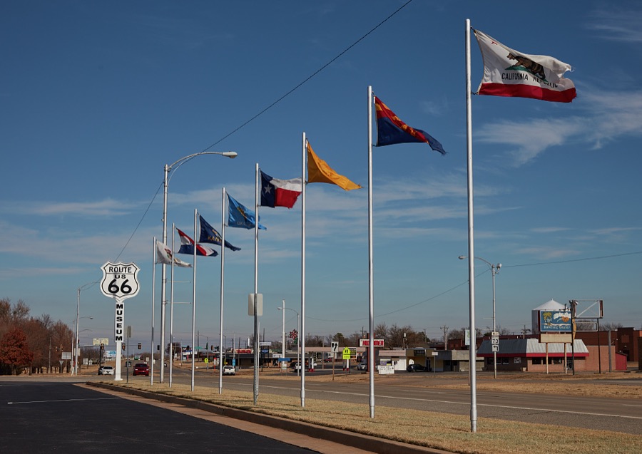









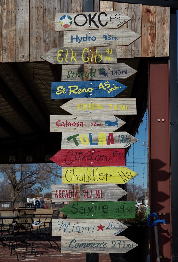
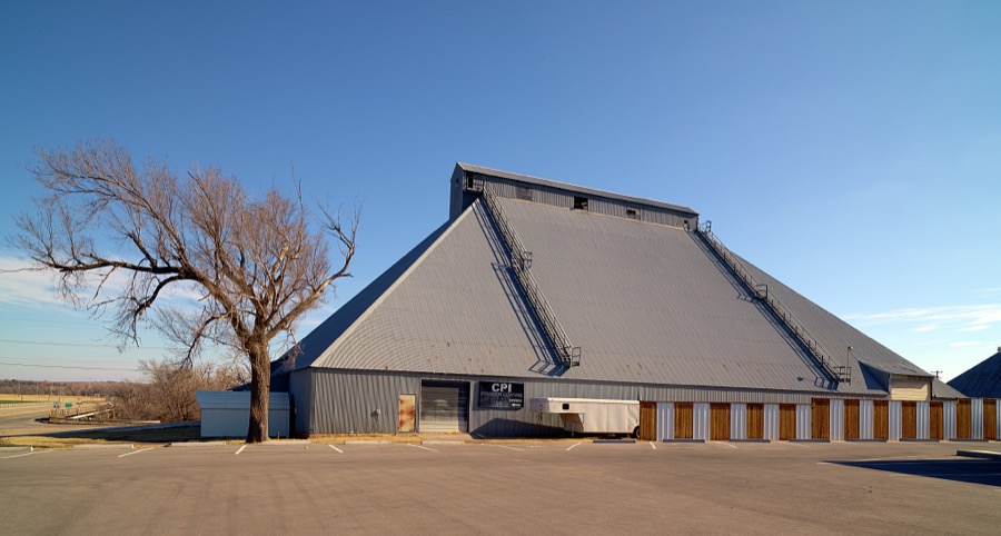

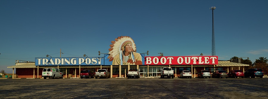
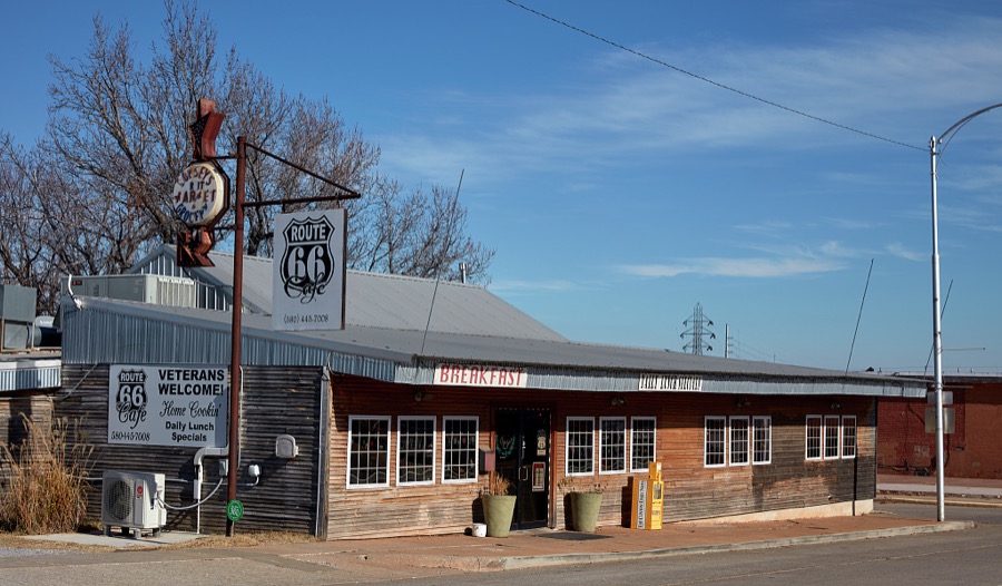

Every property in this county listed on the National Register of Historic Places, with the year it was listed and the federal nomination document.
| Photograph | Property | Type | Listed | Reference |
|---|---|---|---|---|
| Broadway Hotel | building | 1985 | 85000489 | |
 | Clinton Armory | building | 1994 | 94000281 |
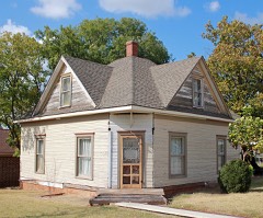 | Crawford House | building | 1984 | 84002998 |
| First National Bank of Custer City | building | 1985 | 85003426 | |
 | McLain Rogers Park | district | 2004 | 04000944 |
| Owl Blacksmith Shop | building | 1983 | 83002084 | |
| J. J. Pyeatt's General Store | building | 1985 | 85000488 | |
 | Science Building | building | 1984 | 84003004 |
| Thomas Community Building | building | 2011 | 11000335 | |
 | Weatherford Armory | building | 1994 | 94000492 |
| Y Service Station and Cafe | building | 2004 | 04000523 |
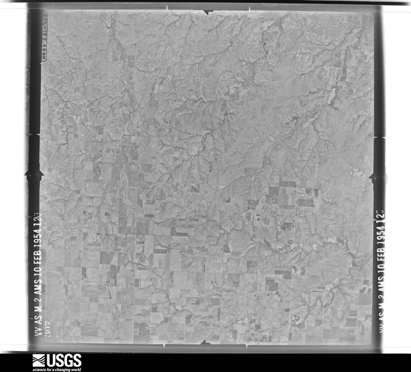
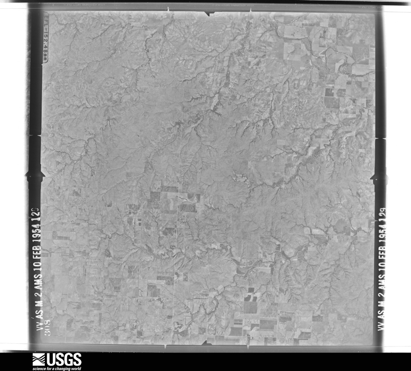
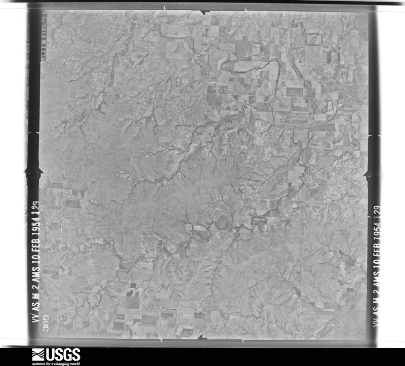
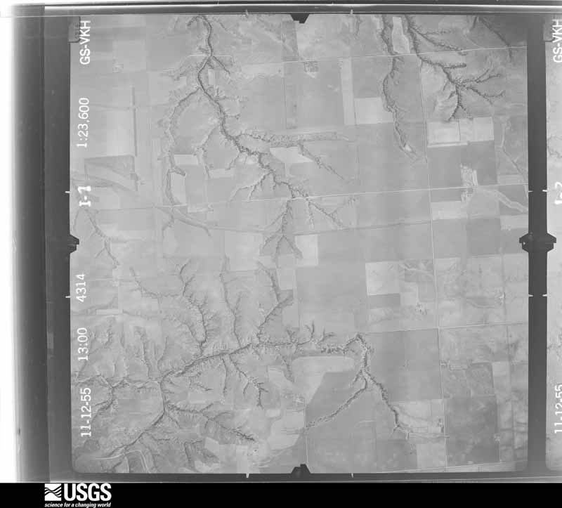
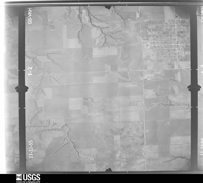
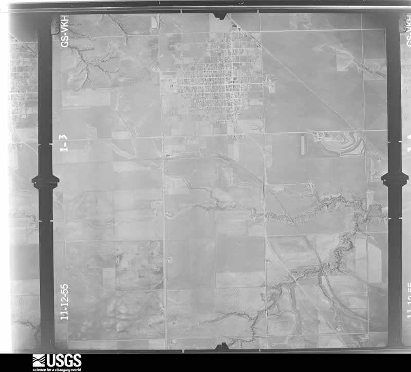
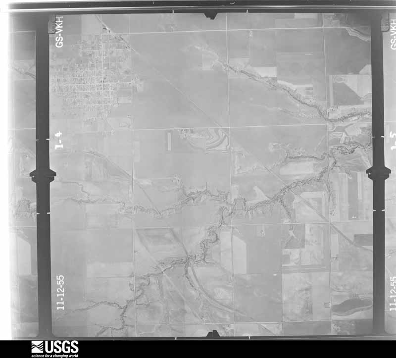
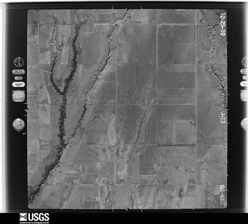
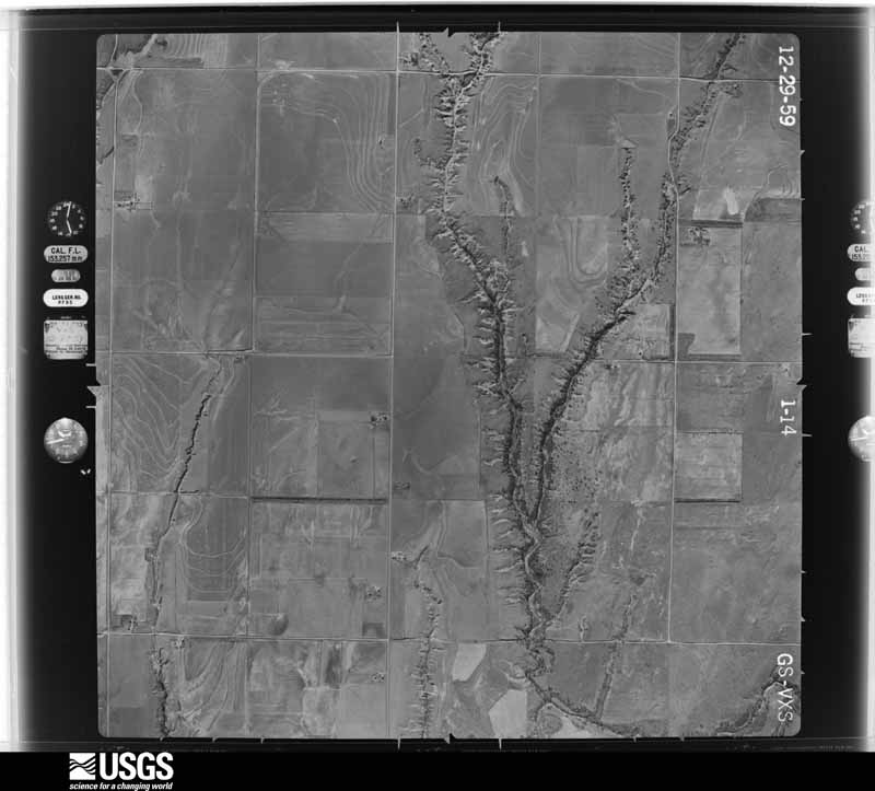
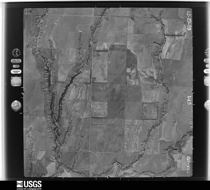
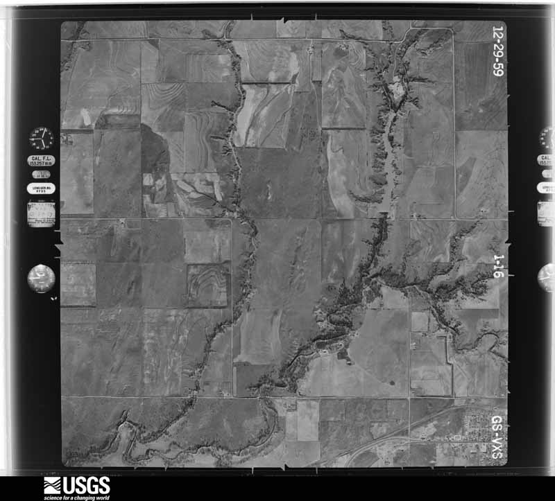
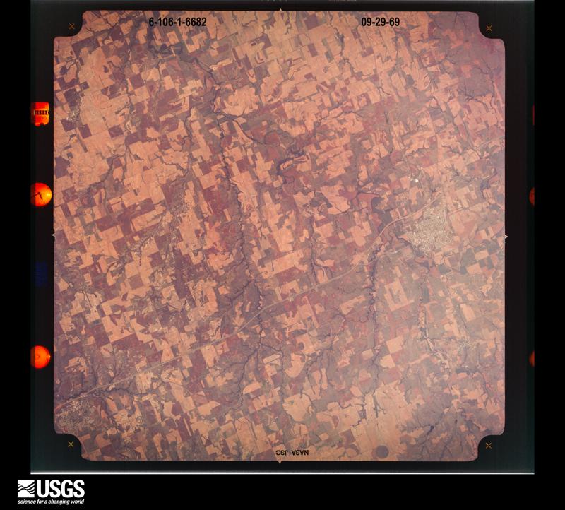
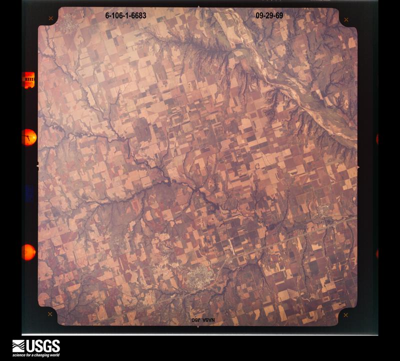
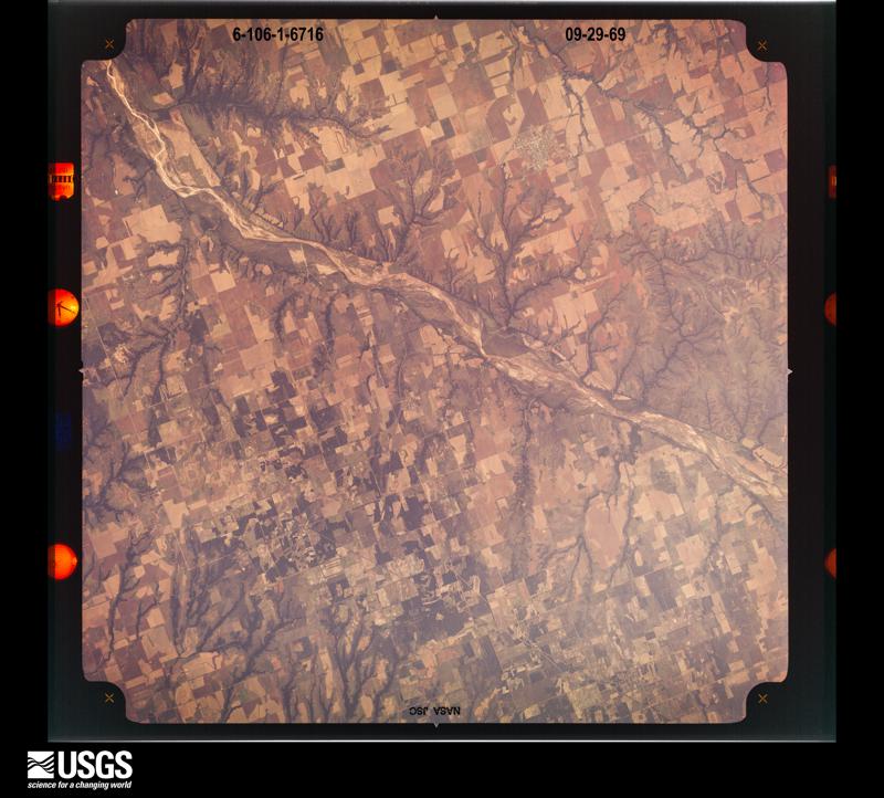
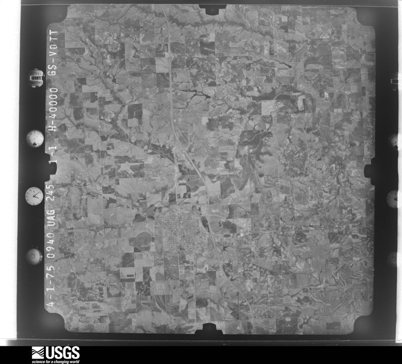
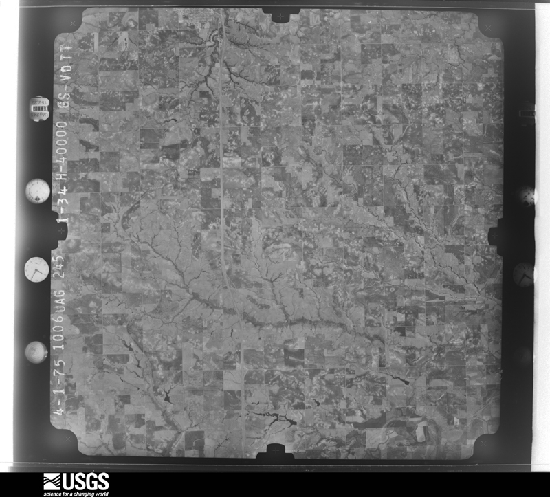
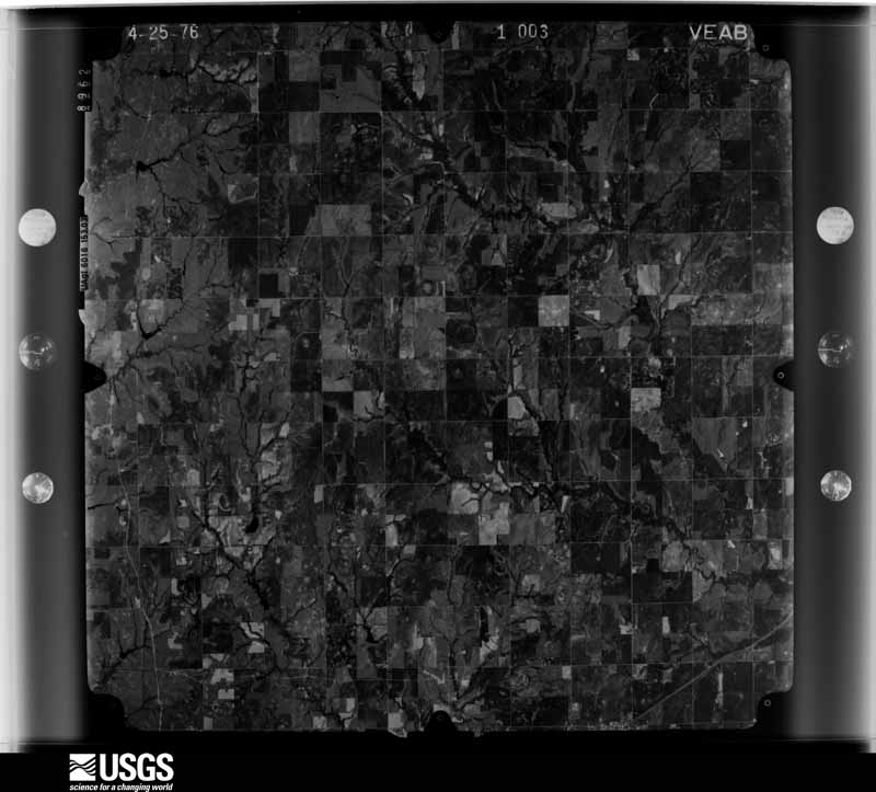
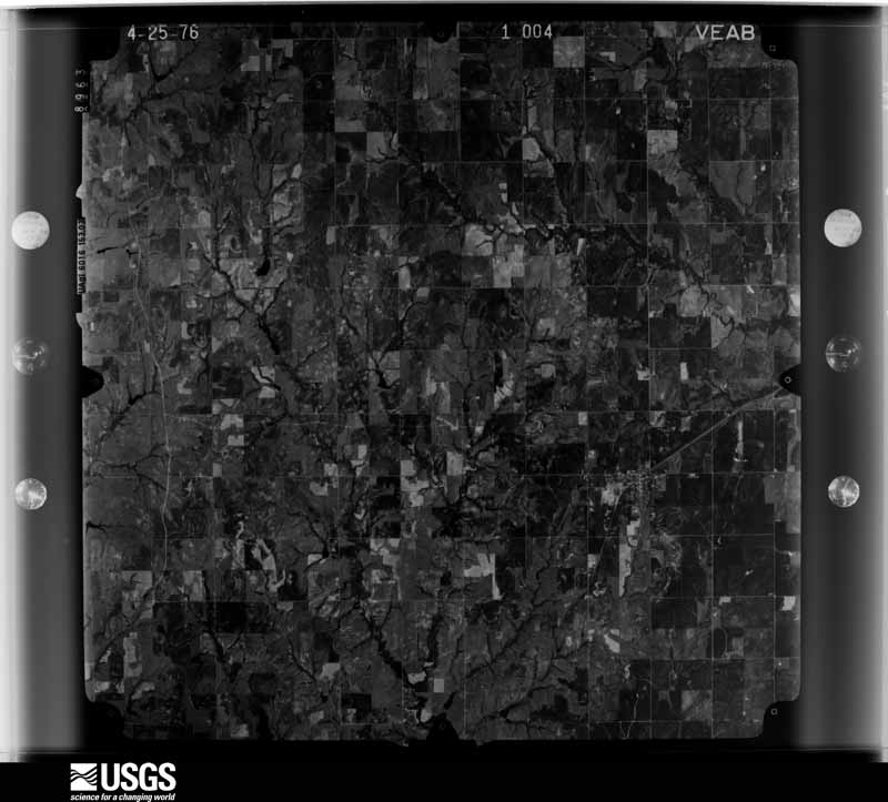
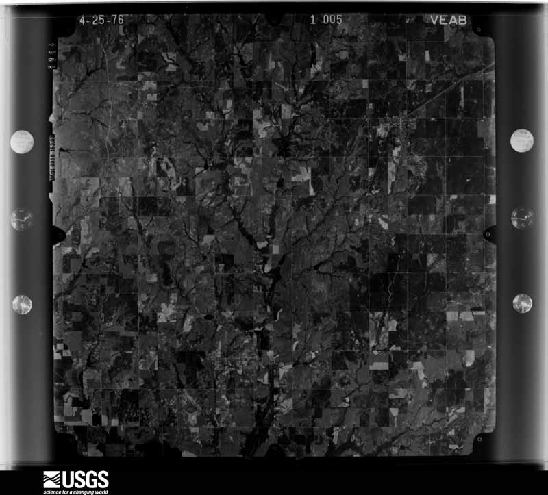
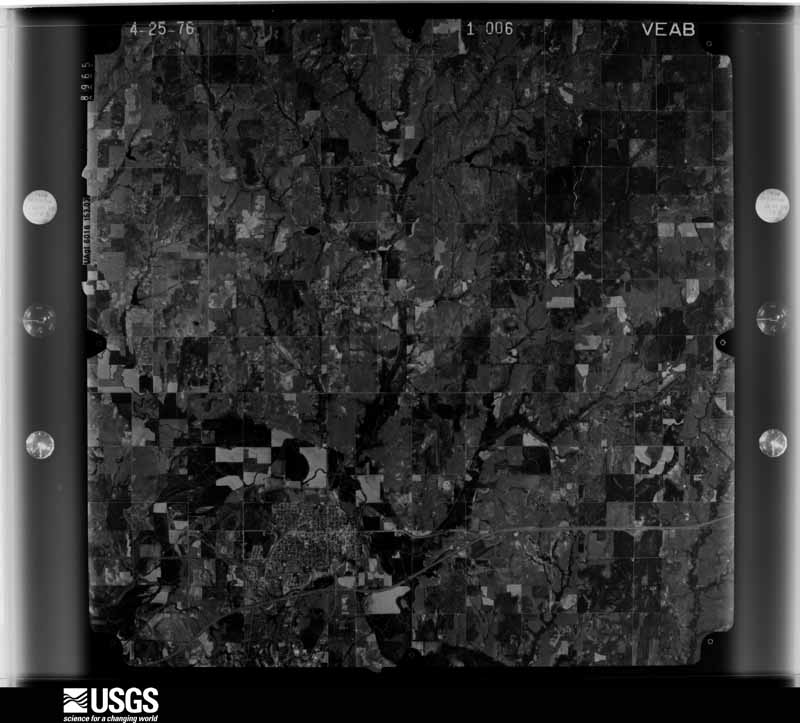
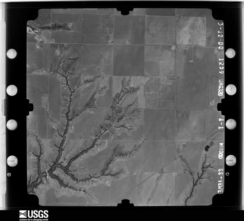
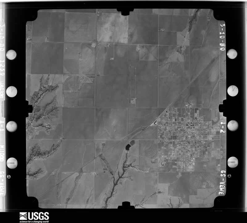
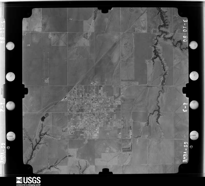
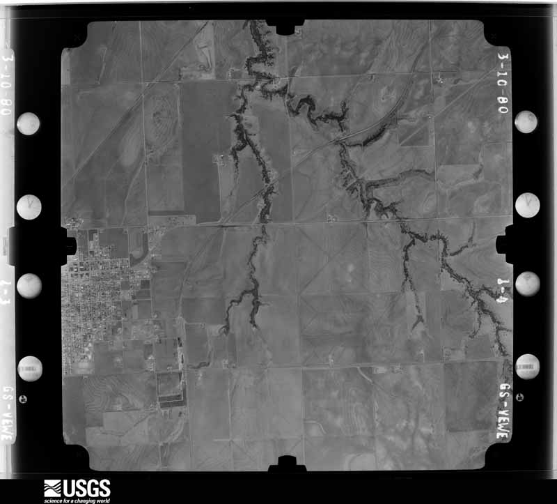
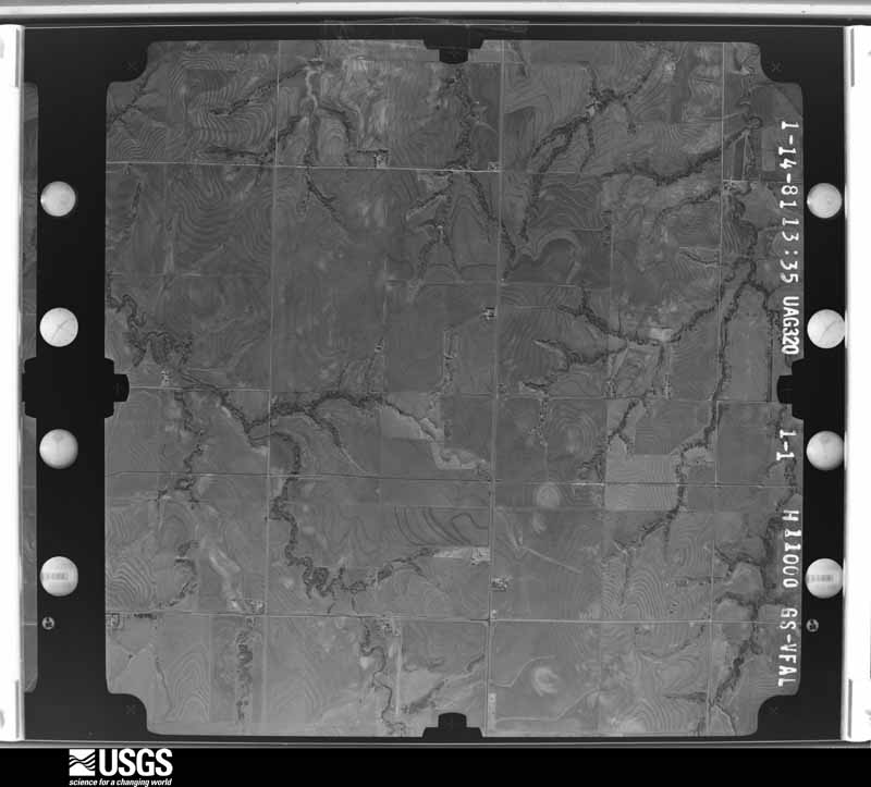
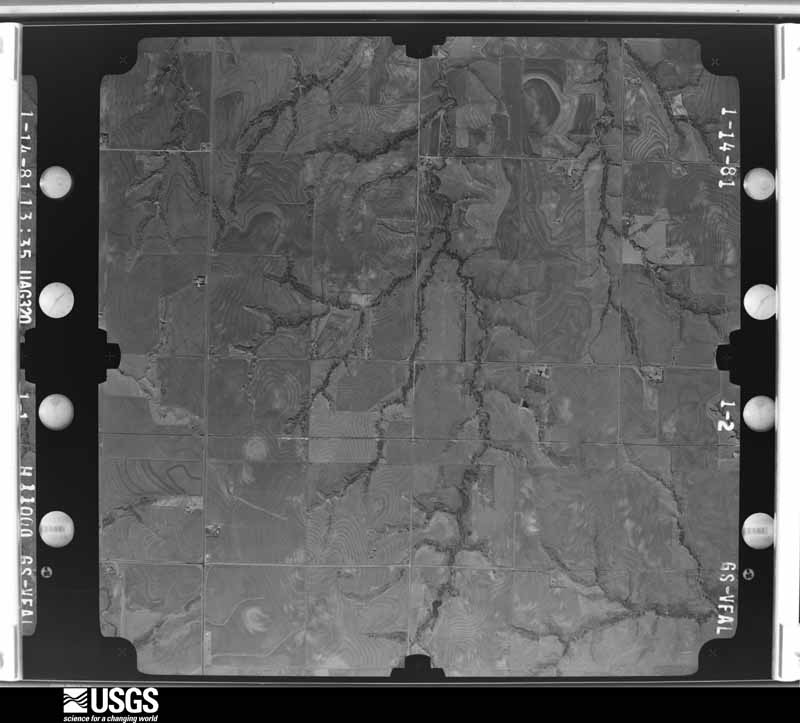
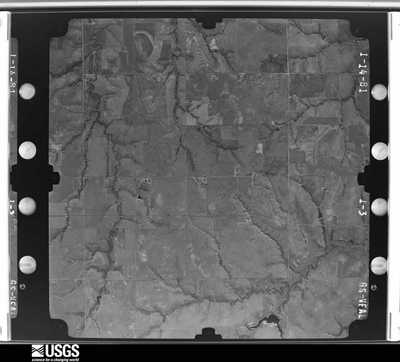
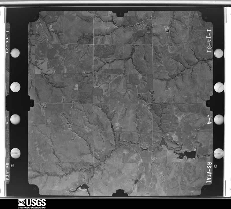
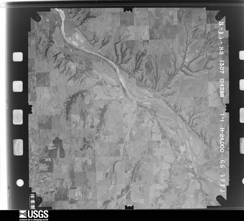
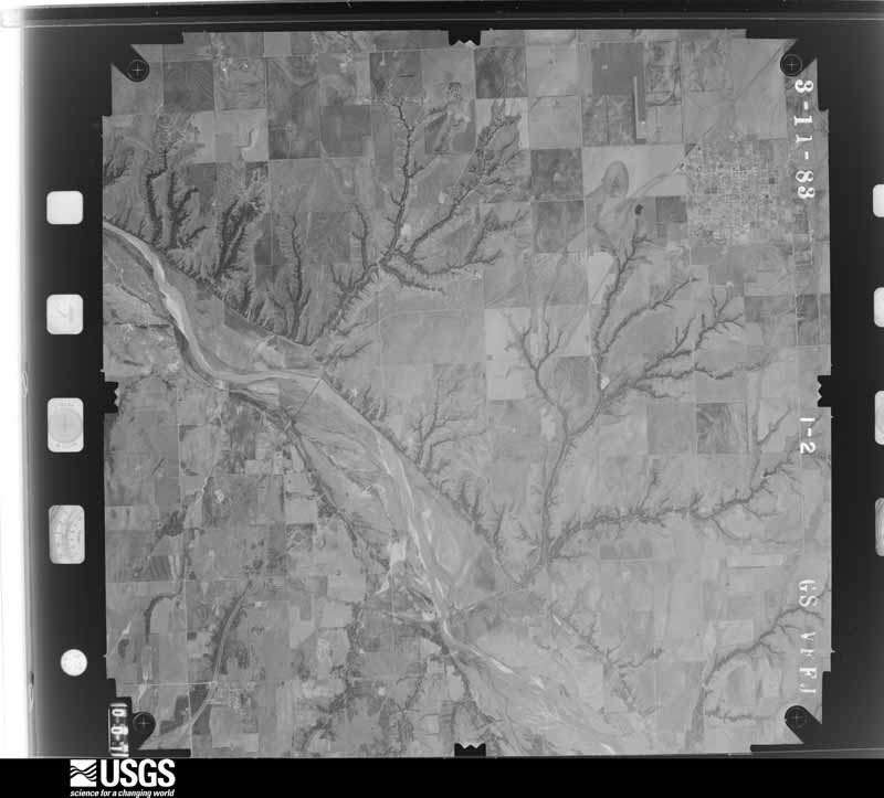
Flown by the U.S. Geological Survey between 1937 and 1989, the Aerial Photo Single Frames collection is the definitive mid-century view of the land: fields, roads and rivers as the camera saw them. The Survey holds 995 frames inside the rectangle that bounds this county; the 42 frames below were taken over the county itself, chosen across the decades of flights (at most four a year from that rectangle), so one flight cannot crowd out the rest. The full set is free to browse and download at EarthExplorer under the dataset Aerial Photo Single Frames.






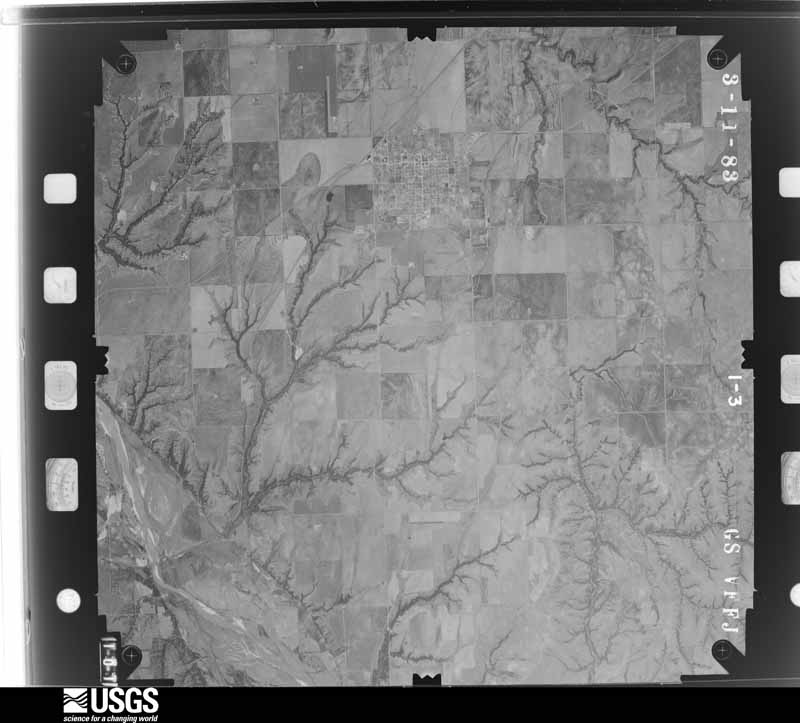
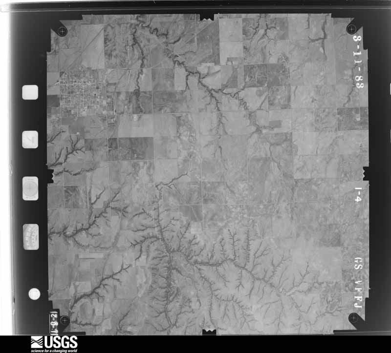



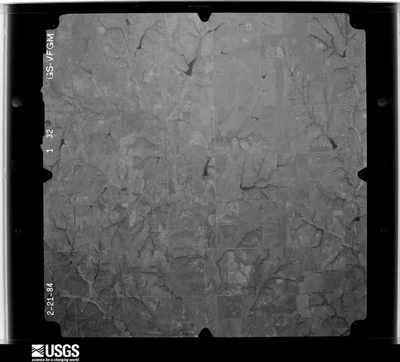
The thermometers that kept this county's weather, and the gages that measured the flow of its streams, as the federal records hold them. The extremes below are measured values from those records, not estimates.
Who lived here in 1950, one enumeration district at a time, as the Census Bureau described each district. Each row opens its official National Archives result, with Population Schedules and ED Maps available there.
Every wildfire the federal occurrence database records inside this county: 122 of them, burning about 7,225 acres. 5 started naturally and 8 were recorded as arson. Each settlement page carries the fires within five miles of it.
| Reported cause | Fires |
|---|---|
| Missing data/not specified/undetermined | 38 |
| Equipment and vehicle use | 23 |
| Debris and open burning | 22 |
| Arson/incendiarism | 8 |
| Fireworks | 8 |
| Railroad operations and maintenance | 6 |
| Natural | 5 |
| Power generation/transmission/distribution | 5 |
| Smoking | 4 |
| Other causes | 2 |
| Recreation and ceremony | 1 |
The five largest, by the area the report gives. None of them was recorded as arson.
| Date | Cause | Size | Reported by | Name on the report |
|---|---|---|---|---|
| 3 March 2007 | Debris and open burning | 1,200 acres | Concho Field Office | ABBOTT |
| 4 April 2009 | Missing data/not specified/undetermined | 1,200 acres | Oklahoma Division of Forestry | ANTHAN CHURCH |
| 16 November 2019 | Missing data/not specified/undetermined | 503 acres | Oklahoma Division of Forestry | CASKET FIRE |
| 15 February 2018 | Missing data/not specified/undetermined | 500 acres | Oklahoma Division of Forestry | HWY 34&73 |
| 13 March 2019 | Equipment and vehicle use | 415 acres | Oklahoma Division of Forestry | LACEY |
| 30 January 2017 | Missing data/not specified/undetermined | 403 acres | Oklahoma Division of Forestry | MILLER/BEERNET |
| 27 January 2018 | Missing data/not specified/undetermined | 346 acres | Oklahoma Division of Forestry | MEACHUM |
| 6 March 2018 | Equipment and vehicle use | 344 acres | Concho Field Office | RED MOON |
Every settlement page carries the fires within five miles of it - see the settlement index below.
The NOAA Storm Events Database holds 811 reports for this county, causing 4 deaths, 23 injuries and about $41,271,000 in recorded property damage. Each settlement page carries the reports that name it.
| Kind of event | Reports |
|---|---|
| Hail | 384 |
| Thunderstorm Wind | 329 |
| Tornado | 73 |
| Flash Flood | 19 |
| Lightning | 4 |
| Heavy Rain | 1 |
| Flood | 1 |
The most serious of them, by death, then injury, then recorded damage. The accounts are quoted exactly as the forecast office filed them.
| When | Event | Place named | Harm | What the report says |
|---|---|---|---|---|
| June 1967 | Tornado (F4) | not stated | 4 killed, 1 hurt, $250,000 | no account filed |
| May 1981 | Tornado (F3) | not stated | 12 hurt, $25,000,000 | no account filed |
| May 1962 | Tornado (F3) | not stated | 4 hurt, $250,000 | no account filed |
| June 1994 | Tornado (F1) | Foss - | 2 hurt, $5,000,000 | no account filed |
| March 2000 | Thunderstorm Wind | Weatherford | 1 hurt, $240,000 | Three semis were overturned on Interstate 40, and one of the drivers was injured. Five thousand square feet of the roof at Walmart was blown off. Numerous homes and businesses had windows broken. A porch was destroyed, and a local fire department recorded a wind gusts of 88 mph, resulting in a broken glass door and roof damage. On the southeast side of Weatherford, road signs and power poles were downed, while on the east side of Weatherford, a trailer was overturned. |
| September 1997 | Flash Flood | Butler | 1 hurt | After 7 to 9 inches of rain fell in western Custer County, a normally dry tributary of the Washita River flooded to 12 to 15 feet, washing out the road and tinhorn at a low water crossing. In two separate incidents, a tractor trailer and a car drove into the flood waters. In the first case a car containing four people was washed a few feet downstream, but all occupants escaped without assistance or injury. In the second instance a truck drove into the washed-out road and was overturned by the flooded stream. The driver broke the window and escaped, and was carried 150 yards downstream before grabbing a tree. About two hours later emergency personnel were able to rescue the man from the water. The man suffered from hypothermia and extreme exhaustion and was taken to a hospital for treatment. |
| November 1988 | Thunderstorm Wind | not stated | 1 hurt | no account filed |
| September 1985 | Thunderstorm Wind | not stated | 1 hurt | no account filed |
| April 1985 | Tornado (F2) | not stated | $2,500,000 | no account filed |
| May 1981 | Tornado (F2) | not stated | $2,500,000 | no account filed |
| June 2008 | Thunderstorm Wind | Clinton | $750,000 | Widespread damage occurred in and around Custer county. A Cessna 152 airplane was flipped, with the nose gear of two more collapsing in Clinton. Three vehicles were blown over on Interstate 40. One of the drivers was injured. Numerous barns were destroyed from Clinton to Custer City, with the contents of the barns also severely damaged. Several buildings sustained roof damage. Superior Well Services had its roof completely blown off and the bait shop at Foss Lake destroyed. Hundreds of power poles and trees were blown down around Custer county. The top of a large grain bin Sentinel Farmer's Co-Op was destroyed and another grain bin sustained severe damage. The loading arm which feeds grain from the bin to railroad cars broke. Over 90,000 bushels of wheat were destroyed as a result of the damage. Monetary damages were estimated. |
| May 1995 | Thunderstorm Wind | Clinton | $500,000 | no account filed |
| September 2012 | Thunderstorm Wind | Arapaho | $360,000 | Six power transmission poles were downed at the intersection of county road 1000 and county roads 2230 and 2240. Time estimated by radar. |
| June 2005 | Thunderstorm Wind | Clinton | $300,000 | The strong winds damaged the roofs of several buildings and homes. One building was the United Grocery Store. The main roof damage was shingles blown off. Several carports were also blown over. Power lines were downed. A few semi-trucks were overturned on Interstate 40. |
| May 2024 | Tornado (EF2) | Butler | $250,000 | A television storm chaser observed this tornado develop northwest of E0930 Road and N2205 Road moving southeast crossing E0930 Road. Initially the tornado was a narrow tornado, then as it turned east-northeast quickly become a large multiple-vortex tornado as observed visually and in the damage pattern. The total damage width was about 2.7 miles along N2240 Road, including both damaging inflow winds north of the tornado and very strong damaging Rear Flank Downdraft (RFD) winds south of the tornado, but the tornado width itself was about one mile wide based on the damage survey and preliminary mobile radar data from Texas Tech University. The tornado narrowed as it approached US-183 near E0920 Road and dissipated soon afterwards.||Although tree and power pole damage was observed along the entire path, the most significant structure damage occurred along E020 Road from near N2240 Road to just east of US-183. At least two outbuildings were destroyed and two others damaged and one home had roof damage. As the tornado approached N2260 Road, a trailer and a rail car used for storage were blown a significant distance to the west, despite being on the southern periphery of the damage area, giving further evidence of the multiple-vortex tornado.||Preliminary data from a Ka-band mobile research radar from Texas Tech University showed a peak instantaneous velocity of 87.9 m/s (197 mph) at about 30 meters AGL when the tornado was approximately 6 miles west-northwest of Custer City. This was an instantaneous velocity measurement which is not directly compatible with the 3-second average wind velocity used by the EF-scale to determine intensity, but does provide indirect evidence that the tornado was likely stronger locally than the EF2 rating based on the damage survey. |
| May 1983 | Tornado (F1) | not stated | $250,000 | no account filed |
| March 1977 | Tornado (F2) | not stated | $250,000 | no account filed |
| June 1971 | Tornado (F3) | not stated | $250,000 | no account filed |
| January 1967 | Tornado (F2) | not stated | $250,000 | no account filed |
| May 2024 | Tornado (EF1) | Custer City | $200,000 | This tornado developed near County Road N2370 north of County Road E0960. It moved southeast and then east crossing State Highway 54 about 6 miles north of Weatherford. One home east of SH-54 suffered significant roof damage and at least two others had some damage to shingles. One mobile home had roof and siding damage, a few outbuildings were damaged or destroyed, and numerous trees and power poles were damaged. |
| May 2024 | Tornado (EF1) | Custer City | $150,000 | While the large multiple-vortex tornado was approaching US-183 to the south, another tornado developed to the north along E0900 Road. It moved east along E0900 Road and then turned east-northeast after crossing US-183. The tornado was observed to dissipate north of Custer City by a meteorologist in the field. At least a half dozen outbuildings were significantly damaged and at least two of these were destroyed. In addition, tree and power pole damage was observed along the path. |
| June 2014 | Flash Flood | Weatherford | $150,000 | Several streets were closed due to flooding with a number of vehicles stalled in flood waters. Damages estimated. |
| July 2023 | Thunderstorm Wind | Weatherford | $100,000 | Multiple reports and images showing extensive wind damage throughout the community of Weatherford. This includes numerous power poles/lines blown down, large trees snapped/uprooted and windows broken in buildings on the Southwestern Oklahoma State University campus. In addition, a few homes had significant roof damage, including partial or complete removal, on the northeast side of the community. Time is radar estimated. |
| May 2001 | Thunderstorm Wind | Weatherford | $100,000 | The roof of a restaurant was damaged, and significant damage was sustained to the Industrial Park and shopping center. |
| May 1997 | Thunderstorm Wind | Weatherford | $100,000 | Severe thunderstorm winds up to 96 mph (measured by a local firefighter) caused widespread and heavy damage in and around Weatherford. Extensive tree, sign, limb, fence, and window damage was reported. At least 7 power poles were snapped in the Weatherford vicinity.Some of the most severe structural damage occurred at South Western Oklahoma State University, where the roof was blown off of the auditorium. Portions of the auditorium roof landed on and destroyed a police car. The roof was also blown off a campus elevator shaft. Pieces of this second roof landed on and crushed one car and damaged a second vehicle. Elsewhere in town the roof was blown off of a building at an industrial park and the doors were blown in at a salvage yard. The portable bleachers were flipped over a fence and the foul pole was bent 40 degrees at the high school baseball field. Some of the tin on the front of the school cafeteria was also damaged.Just east of town, severe thunderstorm winds caused 4 tractor-trailer trucks to jack-knife and blew another semi-truck over on I-40. The interstate was completely closed for one and a half hours as the trucks were cleared from the highway. |
| July 2008 | Thunderstorm Wind | Weatherford | $90,000 | Sustained severe winds caused widespread damage over parts of Weatherford. Four well constructed roofs were heavily damaged. Four windows were broken out. Three signs sustained damage, with the Best Western sign completely destroyed. Numerous other trees, power lines, and fences were downed. The winds were accompanied by torrential rainfall and penny size hail. Monetary damages were estimated. |
| June 2019 | Tornado (EF2) | Custer City | $80,000 | A tornado developed along US Highway 183 near County Road E0860 Road and moved south along US-183. The roof of one house was removed and more than a dozen power poles were downed between E0870 Road and E0880 Road. The tornado continued south and then turned generally southeast dissipating near E0910 Road about 1.25 miles east of US-183. The RaXPol mobile research radar observed the last portion of the tornado life cycle and preliminary investigations noted that the tornadic circulation weakened at 9:13:55 pm CDT. |
| May 1997 | Thunderstorm Wind | Clinton | $80,000 | Severe thunderstorm winds caused widespread damage in and around Clinton. At the Clinton Airport an airplane was tossed 200 feet, one hangar was destroyed, and eight other hangars sustained heavy damage. Power was knocked out across much of the city. South of town two barns were severely damaged and a mobile home was blown over. On I-40 near Clinton six tractor-trailer trucks were blown over by the severe winds. |
| May 2024 | Thunderstorm Wind | Butler | $75,000 | A swath of strong winds were observed by storm chasers and damage associated with these winds were observed by a NWS damage survey team. Research meteorologists with the National Severe Storms Laboratory also made measurements of these strong winds (see separate entries). Damage was observed from near and north of State Highway 33 from about 3 miles east of Butler to 7 miles east and east-northeast of Butler. These winds were likely associated with a strong rear-flank downdraft (RFD) of a supercell thunderstorm that eventually produced a tornado that began 7 miles east-northeast of Butler. ||Through this area of damage, numerous (at least a dozen) outbuildings were significantly damaged or destroyed and at least two houses received roof damage. Numerous trees and power poles were also damaged throughout this area. |
| March 2025 | Thunderstorm Wind | Foss Res Dam | $50,000 | Relayed images show a wooden barn destroyed, camper trailer blown onto its side and tree damage. The event time is estimated from radar observations. |
| May 2024 | Thunderstorm Wind | Weatherford | $50,000 | A swath of significant straight-line wind damage was identified across portions of far southeastern Custer County, associated with the rear-flank downdraft of a nearby tornadic thunderstorm. Numerous wooden power poles were snapped, large tree limbs blown down and a metal outbuilding along County Road 990 was destroyed. Both the wind path and time are estimated. |
| July 2023 | Thunderstorm Wind | Foss Res Dam | $50,000 | Damage to a cabin, travel trailer and vehicles, along with extensive tree damage, at Foss State Park. Time is radar estimated. |
| June 2019 | Tornado (EF1) | Custer City | $50,000 | A fourth tornado occurred along US-183, moving generally south from just north of of E0920 Road to SW of the US-183/Oklahoma Highway 33 intersection. An outbuilding was destroyed with pieces of tin blown for several hundred yards. One house had roof damage and a number of trees were damaged. |
| August 2007 | Flash Flood | Weatherford | $50,000 | Numerous city roads were closed due to the high water. Several other county roads and bridges also were closed. A few of the bridges received minor damage. The Stafford Air and Space Center received minor damage with as much as 100 gallons of water in several of the rooms. A road was closed three miles southeast of Thomas due to high water. Monetary damages were estimated. |
| May 2004 | Hail | Thomas | $50,000 | Several windshields and back windows of vehicles were damaged. A few roofs to homes were also damaged. |
| October 2001 | Tornado (F3) | Butler | $50,000 | B1. Custer County portion. About 1 mile northeast of where the tornado crossed into Custer County, a home of wood frame with brick exterior, had most of its interior and exterior walls destroyed. The tornado then continued across an unpopulated area, causing major damage to trees and fences, before dissipating 2.5 miles west of Foss Dam. |
| May 1999 | Thunderstorm Wind | Weatherford | $50,000 | no account filed |
| June 1994 | Thunderstorm Wind | Clinton | $50,000 | no account filed |
| May 2013 | Thunderstorm Wind | Clinton | $40,000 | A 60x30 ft. metal roof was blown off the Whitedog Hill Restaurant near I-40 mile marker 70. Billboard also damaged near the same location. |
| July 1998 | Thunderstorm Wind | Clinton | $34,000 | no account filed |
| June 2016 | Thunderstorm Wind | Weatherford | $30,000 | Damage to ODOT and billboard signs was reported. Six mobile homes lost roofing material. Utility infrastructure sustained significant damage. Time estimated by radar. |
| May 2013 | Thunderstorm Wind | Clinton | $30,000 | Five power poles down 1 mile N of I-40 exit 71. |
| May 2024 | Thunderstorm Wind | Custer City | $25,000 | Relayed image showing the upper portion of a brick exterior wall collapsed due to thunderstorm wind. Time is radar estimated. |
| May 2024 | Thunderstorm Wind | Butler | $25,000 | Thunderstorms winds, likely associated with the rear flank downdraft (RFD) of the supercell moving across Custer County, produced sporadic tree and power pole damage through Butler. Damage also occurred to equipment at the farm cooperative and at least a couple of buildings in town. |
| June 2002 | Flash Flood | Thomas | $25,000 | Cars were washed off of roads and into ditches. |
| March 2000 | Thunderstorm Wind | Clinton | $25,000 | Numerous homes in the Westridge Addition received damage, while some barns were either damaged or destroyed. Two semis were also blown over on Interstate 40 just west of Clinton. |
| August 1997 | Thunderstorm Wind | Weatherford | $25,000 | Severe thunderstorm winds downed limbs, trees, fences, and several signs. |
| June 1983 | Tornado (F1) | not stated | $25,000 | no account filed |
| September 1961 | Tornado | not stated | $25,000 | no account filed |
| May 1959 | Tornado (F2) | not stated | $25,000 | no account filed |
| May 1959 | Tornado (F2) | not stated | $25,000 | no account filed |
| March 1959 | Tornado (F2) | not stated | $25,000 | no account filed |
| July 2023 | Thunderstorm Wind | Clinton | $20,000 | Top three-quarters of a communication tower broken and blown down. Time is radar estimated. |
| July 2023 | Thunderstorm Wind | Clinton | $20,000 | Report of power pole, power line and tree damage throughout the community of Clinton. This includes a portion of US Highway 183 blocked by downed power poles. Time is radar estimated. |
| June 2016 | Thunderstorm Wind | Foss Res Dam | $20,000 | KWTV channel 9 showed wind damage to a marina and boats at Foss Reservoir. Time estimated by radar. |
| June 2008 | Thunderstorm Wind | Thomas | $20,000 | Several power poles were damaged by the high wind. Tree damage was also reported. Monetary damages were estimated. |
| July 2006 | Thunderstorm Wind | Clinton | $20,000 | Several large trees were uprooted on the south side of town. A home sustained some roof damage. An apartment roof was also heavily damaged. |
| August 1997 | Lightning | Weatherford | $20,000 | Lightning struck and set fire to the roof of a house, destroying the attic. |
| June 2008 | Thunderstorm Wind | Arapaho | $16,000 | Six power poles were snapped. The report was relayed by a National Severe Storms Laboratory employee. Monetary damages were estimated. |
| May 2013 | Thunderstorm Wind | Clinton | $15,000 | Measured at KCSM. Moderate damage to airport. Doors were blown off a hangar, as well as windows in the control tower. A 400 lb. round bail was also blown into the ceilometer of the ASOS. |
The Survey's mineral resources record lists 29 workings inside this county. 3 still produce and 26 are closed or unrecorded. Each settlement page carries the workings within five miles of it.
| Commodity | Workings |
|---|---|
| Sand and Gravel, Construction | 20 |
| Clay | 4 |
| Pumice | 3 |
| Dolomite | 1 |
| Gypsum-Anhydrite | 1 |
The least common of them first, because a county's hundredth gravel pit says nothing its first ten did not.
| Where | Site | Commodity | Status | Recorded |
|---|---|---|---|---|
| Unknown Dolomite Pit | Dolomite | Past Producer | ||
| Unknown Gypsum Pit | Gypsum-Anhydrite | Past Producer | ||
| Franolite Minerals Volcanic Ash Pit | Pumice | Past Producer | ||
| Unknown Volcanic Ash Pit | Pumice | Past Producer | ||
| Unknown Volcanic Ash Pit | Pumice | Past Producer | ||
| Acme Brick Company Shale Pit | Clay | Producer | ||
| Acme Brick Company Shale Pit/Plant | Clay | Producer | ||
| Unknown Shale Pit | Clay | Past Producer | ||
| Unknown Shale Pit | Clay | Past Producer | ||
| Harold Pit | Sand and Gravel, Construction | Producer | ||
| Unknown Sand Pit | Sand and Gravel, Construction | Past Producer | ||
| Unknown Sand Pit | Sand and Gravel, Construction | Past Producer | ||
| Unknown Sand and Gravel Pit | Sand and Gravel, Construction | Past Producer | ||
| Unknown Sand and Gravel Pit | Sand and Gravel, Construction | Past Producer | ||
| Unknown Sand and Gravel Pit | Sand and Gravel, Construction | Past Producer | ||
| Unknown Sand and Gravel Pit | Sand and Gravel, Construction | Past Producer | ||
| Unknown Sand and Gravel Pit | Sand and Gravel, Construction | Past Producer | ||
| Unknown Sand and Gravel Pit | Sand and Gravel, Construction | Past Producer | ||
| Unknown Sand and Gravel Pit | Sand and Gravel, Construction | Past Producer | ||
| Unknown Sand and Gravel Pit | Sand and Gravel, Construction | Past Producer | ||
| Unknown Sand and Gravel Pit | Sand and Gravel, Construction | Past Producer | ||
| Unknown Sand and Gravel Pit | Sand and Gravel, Construction | Past Producer | ||
| Unknown Sand and Gravel Pit | Sand and Gravel, Construction | Past Producer | ||
| Unknown Sand and Gravel Pit | Sand and Gravel, Construction | Past Producer | ||
| Unknown Sand and Gravel Pit | Sand and Gravel, Construction | Past Producer | ||
| Unknown Sand and Gravel Pit | Sand and Gravel, Construction | Past Producer | ||
| Unknown Sand and Gravel Pit | Sand and Gravel, Construction | Past Producer | ||
| Unknown Sand and Gravel Pit | Sand and Gravel, Construction | Past Producer | ||
| Unknown Siltstone Pit | Sand and Gravel, Construction | Past Producer |
Named settlements recorded in the Geographic Names Information System, each with the topographic sheets covering it. Villages, hamlets and abandoned places alike. Each is shown with the nearest named watercourse or landform and the survey quadrangle it falls on. The 5 places that were also surveyed for fire insurance come first, with the number of atlases and photographs held for them.
Clinton census division · 73620 · Clinton quadrangle
10 sheets, 1955 to 1985
Fire insurance: 4 atlases
Clinton census division · 73601 · On Beaver Creek · Clinton quadrangle
10 sheets, 1955 to 1985
Fire insurance: 6 atlases
Custer City census division · 73639 · Custer City quadrangle
10 sheets, 1955 to 1985
Fire insurance: 2 atlases
Thomas census division · 73669 · Weatherford NW quadrangle
8 sheets, 1955 to 1985
Fire insurance: 5 atlases
Weatherford census division · 73096 · Weatherford quadrangle
8 sheets, 1955 to 1985
Fire insurance: 7 atlases
Weatherford census division · 73096 · Weatherford quadrangle
8 sheets, 1955 to 1985
Clinton census division · 73601 · On Beaver Creek · Clinton quadrangle
10 sheets, 1955 to 1985
Thomas census division · 73639 · On Horse Creek · Clinton NE quadrangle
10 sheets, 1955 to 1985
Butler census division · 73625 · Rhea quadrangle
8 sheets, 1955 to 1990
No longer a settlement
The vanished settlements of Custer County: the places named above that are no longer on the map.
8 topographic sheets and 7 fire insurance atlases, 1902 to 1938
10 topographic sheets and 6 fire insurance atlases, 1910 to 1947
8 topographic sheets and 5 fire insurance atlases, 1904 to 1932
10 topographic sheets and 4 fire insurance atlases, 1904 to 1916
10 topographic sheets and 2 fire insurance atlases, 1913