 Block
From the record
4 National Register listings published here.
Sources: the National Register database, National Park Service
20 topographic sheets and 4 fire insurance atlases across 1 place.
4 National Register listings published here.
Sources: the National Register database, National Park Service
Taken for the Office of War Information and the Farm Security Administration, who photographed the country between 1935 and 1944. Works of United States government photographers, with no known restriction on use. Each opens its catalogue record.
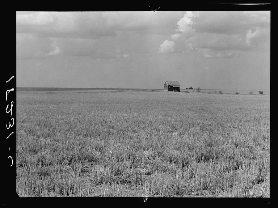
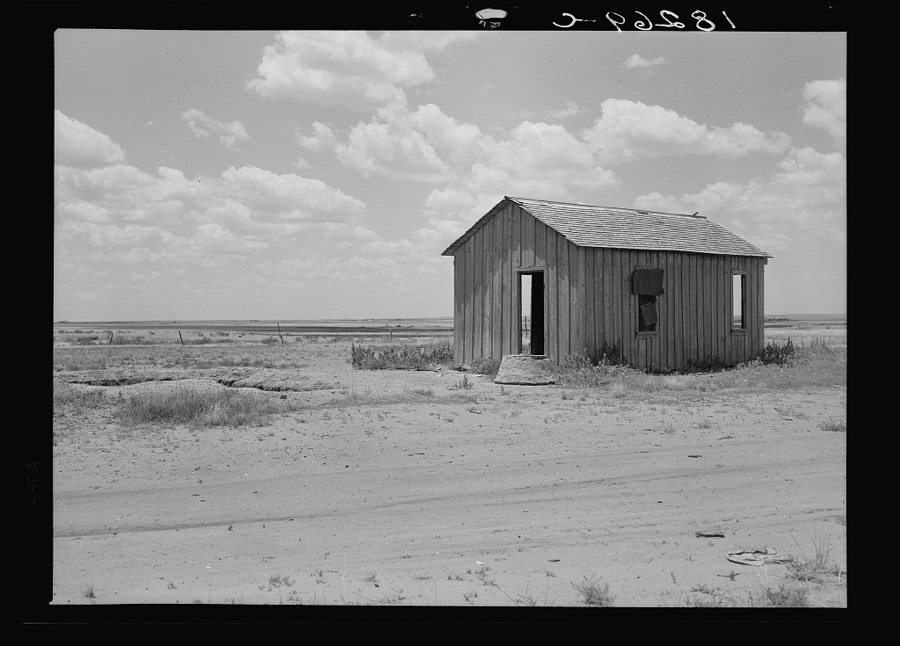
Every property in this county listed on the National Register of Historic Places, with the year it was listed and the federal nomination document.
| Photograph | Property | Type | Listed | Reference |
|---|---|---|---|---|
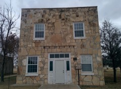 | Gould Community Building | building | 2007 | 07001264 |
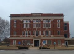 | Harmon County Courthouse | building | 1984 | 84003031 |
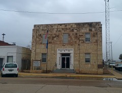 | Hollis City Hall and Jail | building | 2007 | 07001267 |
 | United States Post Office Hollis | building | 2009 | 09000215 |
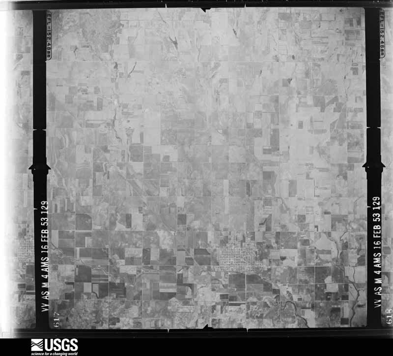
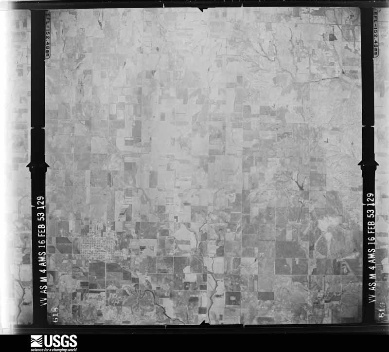
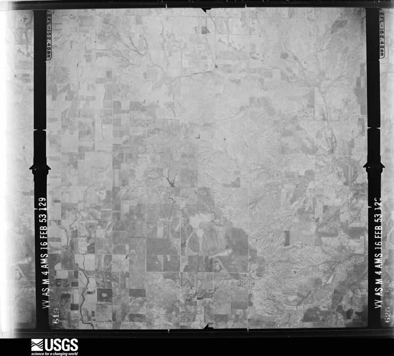
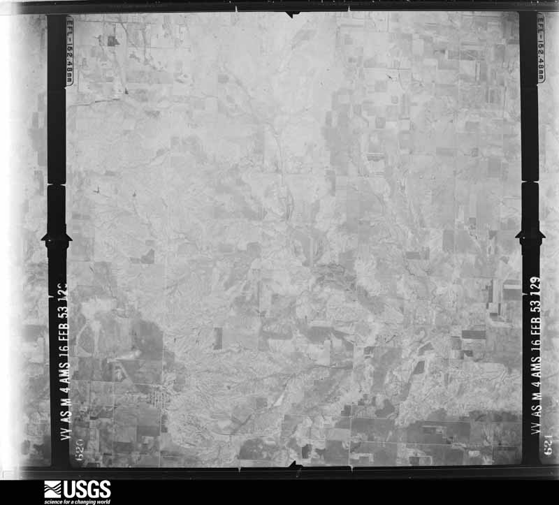
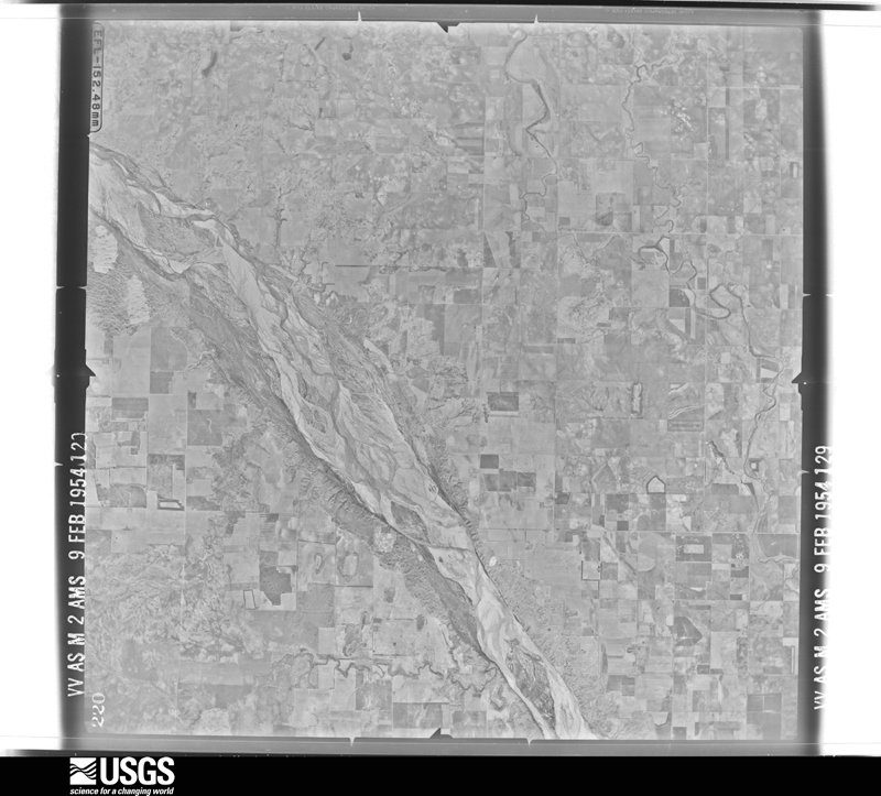
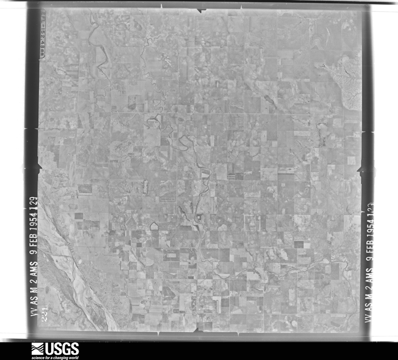
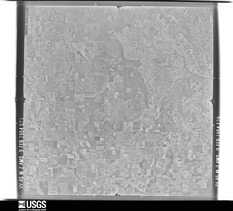
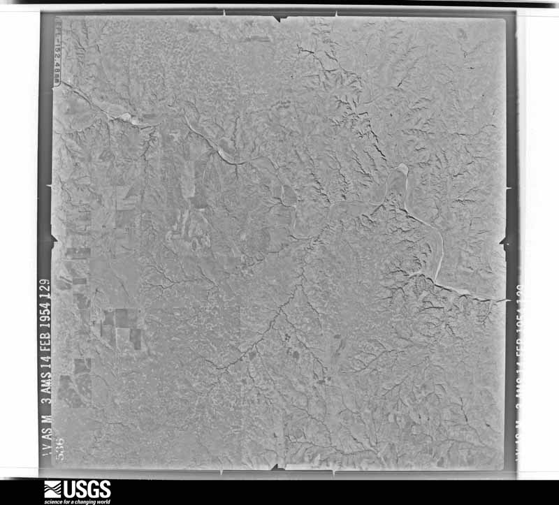
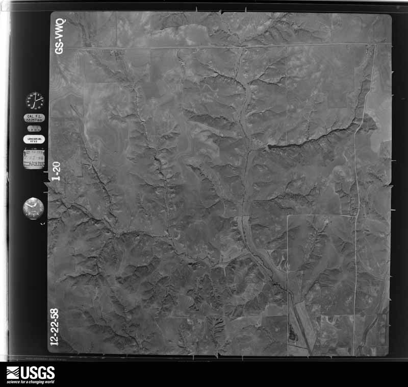
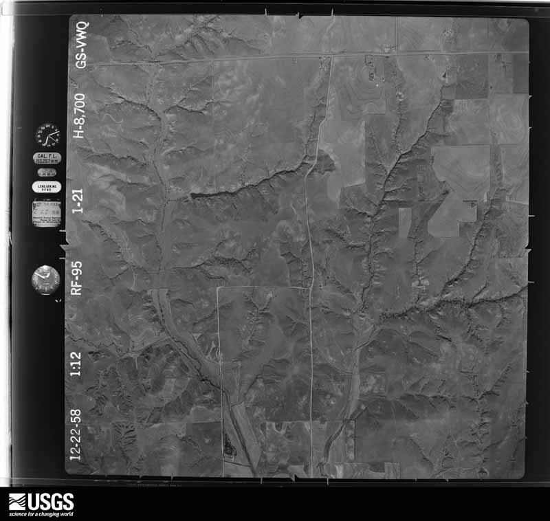
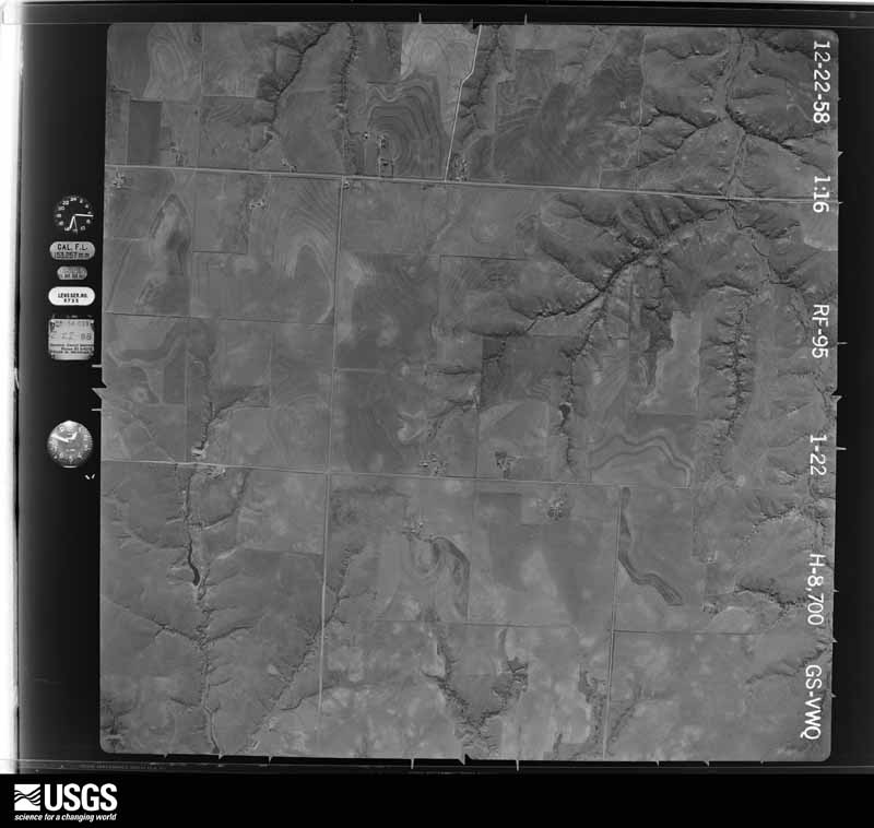
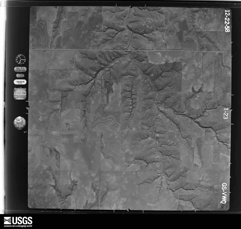
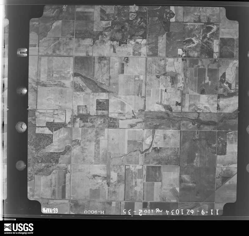
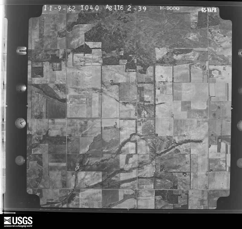
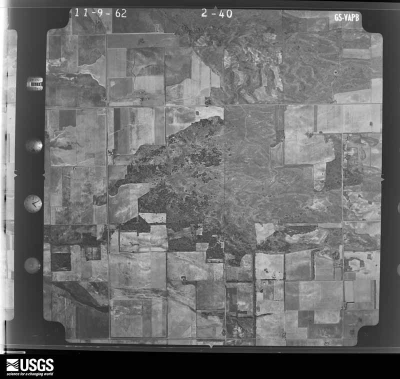
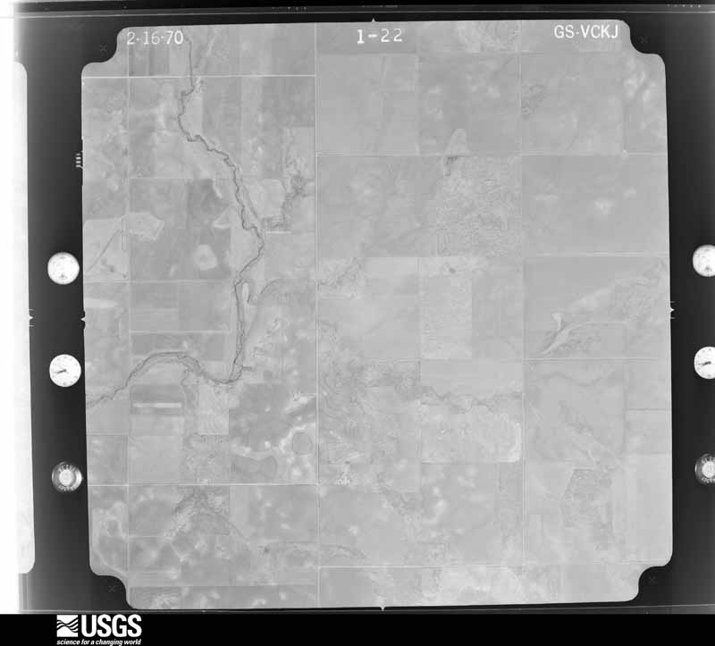
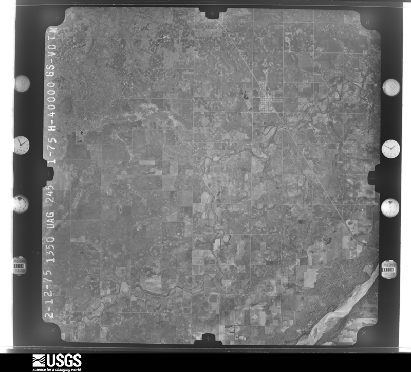
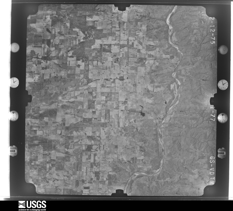
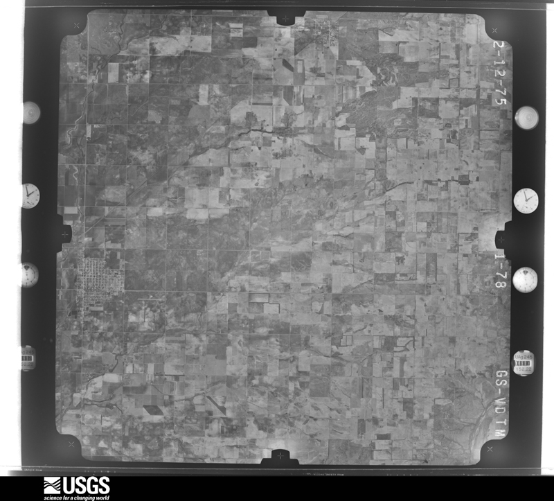
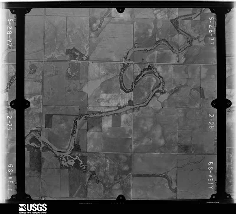
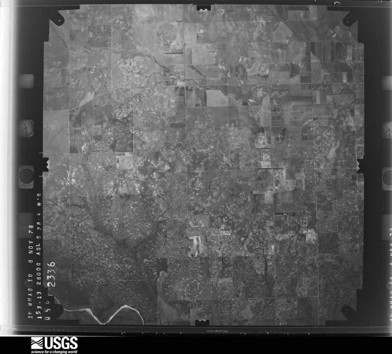
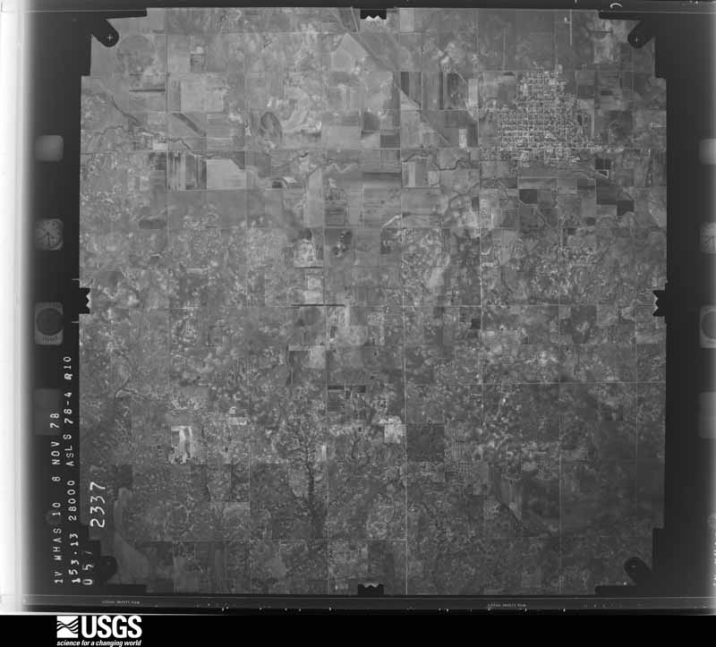
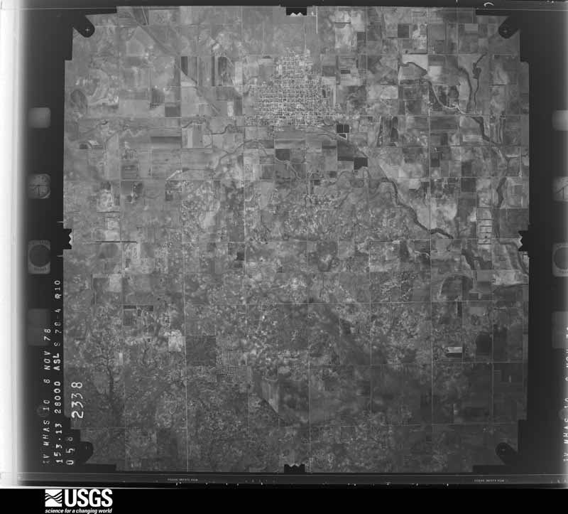
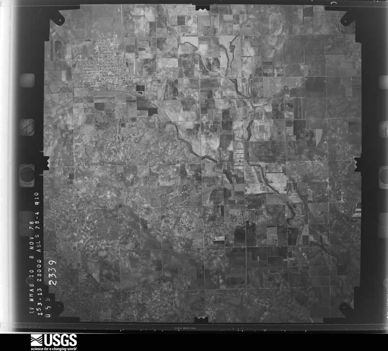
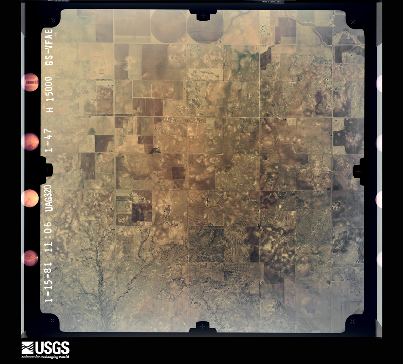
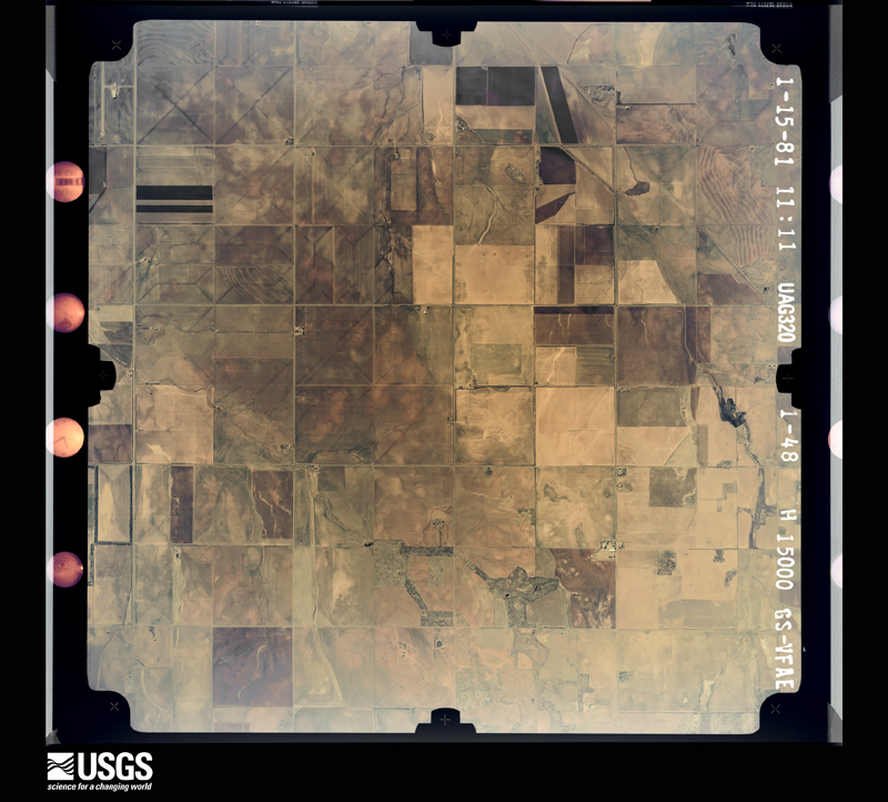
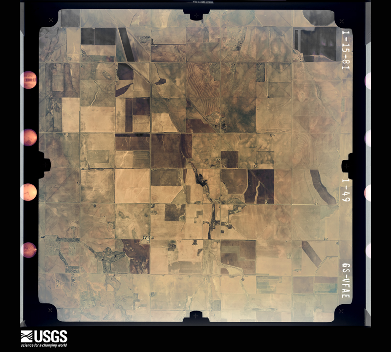
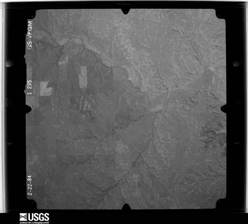
Flown by the U.S. Geological Survey between 1937 and 1989, the Aerial Photo Single Frames collection is the definitive mid-century view of the land: fields, roads and rivers as the camera saw them. The Survey holds 1,072 frames inside the rectangle that bounds this county; the 37 frames below were taken over the county itself, chosen across the decades of flights (at most four a year from that rectangle), so one flight cannot crowd out the rest. The full set is free to browse and download at EarthExplorer under the dataset Aerial Photo Single Frames.
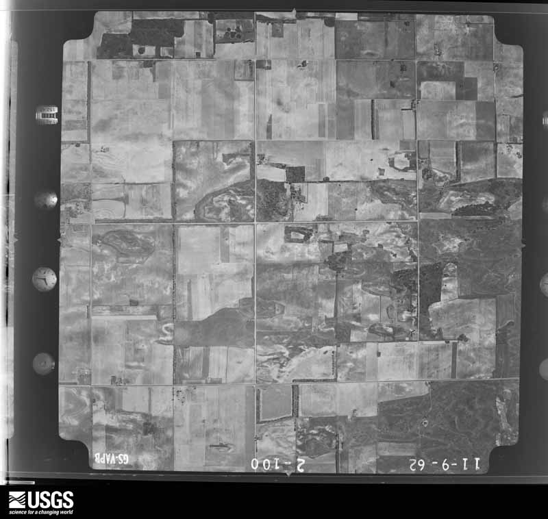
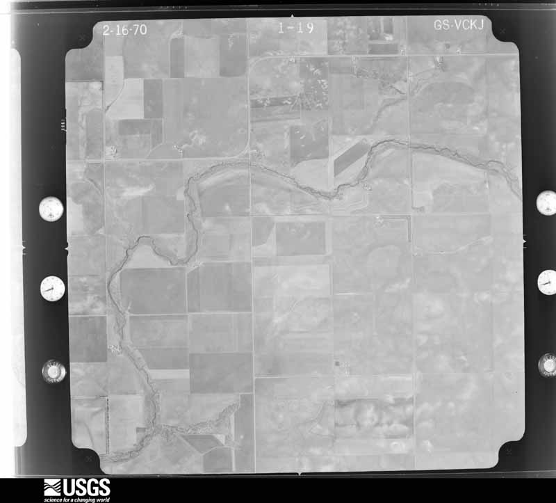
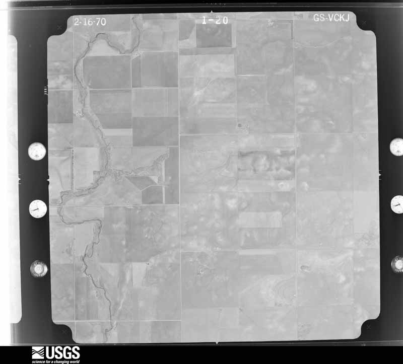
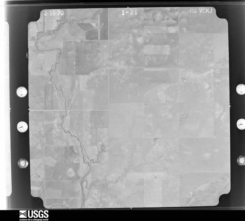
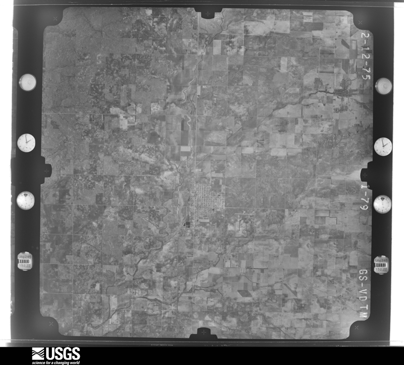
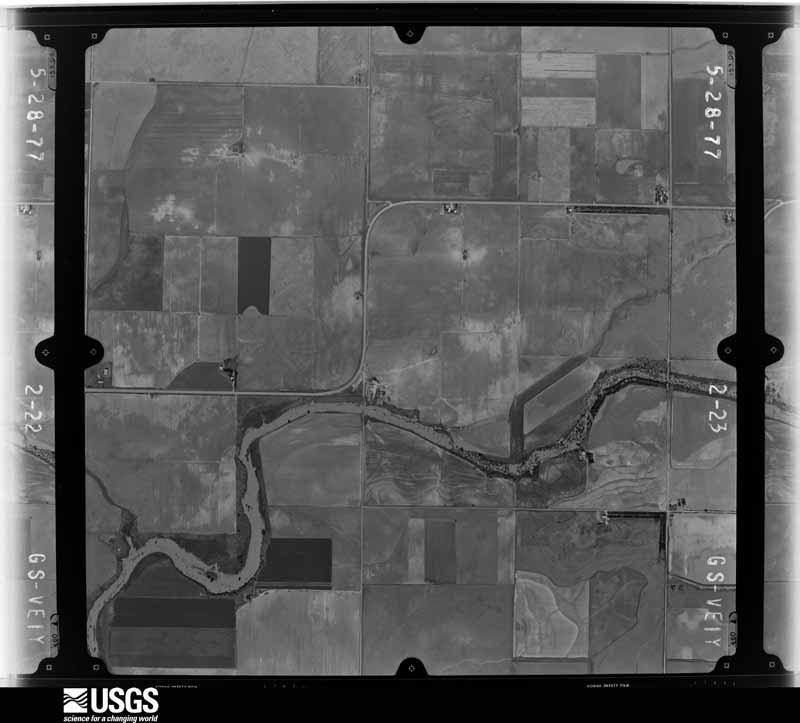
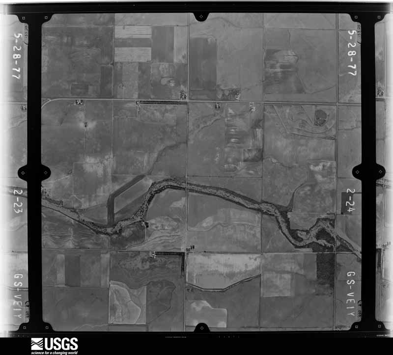
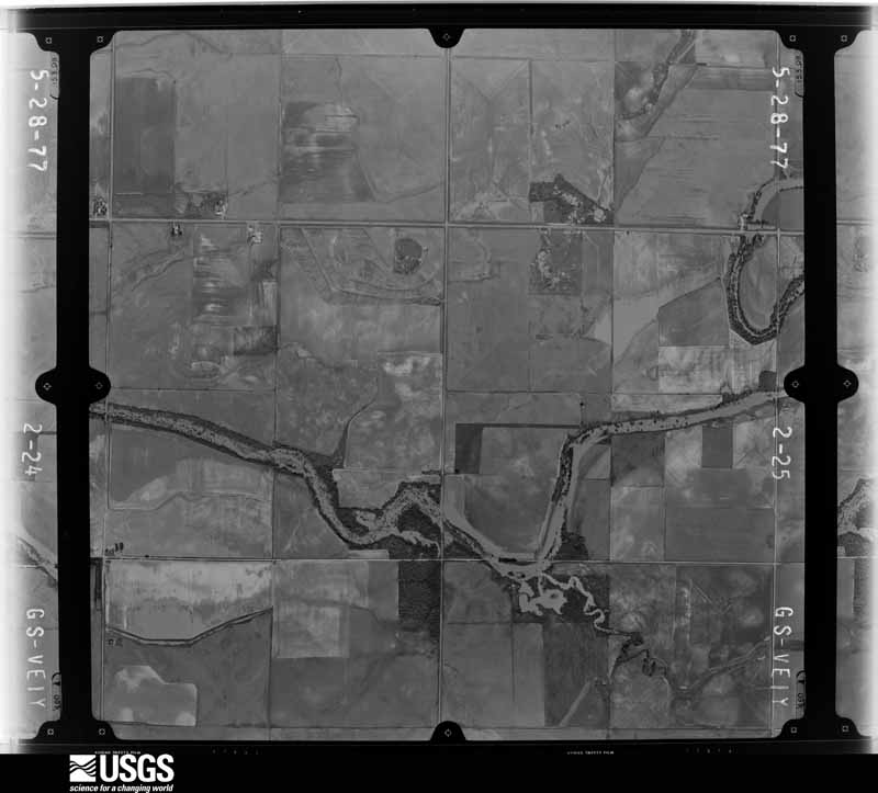

The thermometers that kept this county's weather, and the gages that measured the flow of its streams, as the federal records hold them. The extremes below are measured values from those records, not estimates.
Who lived here in 1950, one enumeration district at a time, as the Census Bureau described each district. Each row opens its official National Archives result, with Population Schedules and ED Maps available there.
Every wildfire the federal occurrence database records inside this county: 4 of them, burning about 7,957 acres. 1 started naturally and none was recorded as arson. Each settlement page carries the fires within five miles of it.
| Reported cause | Fires |
|---|---|
| Missing data/not specified/undetermined | 2 |
| Natural | 1 |
| Equipment and vehicle use | 1 |
The five largest, by the area the report gives. None of them was recorded as arson.
| Date | Cause | Size | Reported by | Name on the report |
|---|---|---|---|---|
| 14 March 2008 | Missing data/not specified/undetermined | 4,000 acres | Texas A & M Forest Service | not named |
| 20 July 2017 | Missing data/not specified/undetermined | 3,000 acres | Oklahoma Division of Forestry | HARMON CO. RIVER FIRE 2017 |
| 29 July 2008 | Natural | 950 acres | Texas A & M Forest Service | RED RIVER |
| 13 March 2014 | Equipment and vehicle use | 7.0 acres | Texas A & M Forest Service | 21-2014 |
Every settlement page carries the fires within five miles of it - see the settlement index below.
The NOAA Storm Events Database holds 497 reports for this county, causing no deaths, 6 injuries and about $2,615,120 in recorded property damage. Each settlement page carries the reports that name it.
| Kind of event | Reports |
|---|---|
| Hail | 284 |
| Thunderstorm Wind | 169 |
| Tornado | 38 |
| Flash Flood | 4 |
| Heavy Rain | 2 |
The most serious of them, by death, then injury, then recorded damage. The accounts are quoted exactly as the forecast office filed them.
| When | Event | Place named | Harm | What the report says |
|---|---|---|---|---|
| May 1965 | Tornado (F2) | not stated | 2 hurt, $250,000 | no account filed |
| April 1976 | Tornado (F1) | not stated | 2 hurt, $25,000 | no account filed |
| June 1955 | Tornado (F1) | not stated | 2 hurt, $2,500 | no account filed |
| December 1993 | Thunderstorm Wind | Hollis | $500,000 | no account filed |
| April 2006 | Hail | Vinson | $350,000 | Large hail combined with strong winds caused damage to several homes and businesses. Many homes had numerous windows broken by the hail. The homes also had significant damage to sides of the house and to roofs. The vinyl siding on the front of the Vinson First Baptist Church was also heavily damaged. |
| May 1983 | Tornado (F2) | not stated | $250,000 | no account filed |
| May 1983 | Tornado (F2) | not stated | $250,000 | no account filed |
| May 1983 | Tornado (F2) | not stated | $250,000 | no account filed |
| May 1968 | Tornado (F2) | not stated | $250,000 | no account filed |
| June 2012 | Thunderstorm Wind | Hollis | $50,000 | Several utility poles were blown down by estimated 70 mph wind gusts. |
| June 1994 | Thunderstorm Wind | E Hollis | $50,000 | no account filed |
| July 2015 | Thunderstorm Wind | Gould | $45,000 | Several sheds/carports lost their roofs. A camper shell and a boat were picked up and flipped. Several roofs were on the ground, porches were missing, trees were down, dumpsters were tipped over, and antennae were snapped. |
| May 2022 | Thunderstorm Wind | Hollis | $30,000 | Major roof damage to three businesses, 6 homes with minor damage reported, power poles and tree branches downed. Time estimated from radar. |
| April 2003 | Tornado (F1) | Gould | $30,000 | This is the final segment of the tornado that began in Hardeman County, Texas then moved northeast into extreme western Jackson County, Oklahoma before dissipating in Harmon County. The tornado caused F1 damage during this portion of the path. A farm located 10 miles south of Gould and 1 mile west of Highway 5 had five outbuildings destroyed and damaged the roof to a brick home. The tornado continued northeast and downed power lines along Highway 5 then dissipated approximately 1 mile east of Highway 5 at 1834 CST. |
| June 2008 | Thunderstorm Wind | Hollis | $25,000 | Roof damage was reported to a commercial building in Hollis. Monetary damages were estimated. |
| July 1997 | Thunderstorm Wind | Hollis | $25,000 | Severe thunderstorm winds damaged fences and roofs, blew windows out, split or uprooted several trees, and destroyed one carport. |
| May 1982 | Tornado (F1) | not stated | $25,000 | no account filed |
| May 1982 | Tornado (F1) | not stated | $25,000 | no account filed |
| April 1957 | Tornado (F1) | not stated | $25,000 | no account filed |
| April 1952 | Tornado (F1) | not stated | $25,000 | no account filed |
| November 2024 | Tornado (EF1) | Gould | $15,000 | This tornado began south of Gould, along or just west of State Highway 5 and north of E1660 Road. The tornado moved to the north and then northwest, before dissipating just to the west of the city of Gould. Numerous power poles were snapped and broken along E1650 road, while several central pivot irrigation units sustained damage. |
| June 2008 | Thunderstorm Wind | Hollis | $15,000 | Numerous tree limbs and power lines were downed by high winds. Monetary damages were estimated. |
| June 1996 | Thunderstorm Wind | Hollis | $11,500 | no account filed |
| April 2005 | Thunderstorm Wind | Hollis | $10,000 | Power lines and trees were downed in town. |
| June 2006 | Thunderstorm Wind | Hollis | $7,500 | Several pieces of farming equipment were blown across a field and through a fence. |
| November 2024 | Tornado (EF1) | Gould | $5,000 | This tornado moved into southern Harmon County from far western Jackson County. Utility poles were snapped along and just north of the county line along State Highway 5. |
| April 2019 | Thunderstorm Wind | Gould | $5,000 | Power poles downed and outbuilding damage. Time estimated by radar. |
| May 2018 | Thunderstorm Wind | Hollis | $5,000 | Large wood-frame metal barn destroyed. Debris observed downwind about 200 yards. |
| August 2014 | Thunderstorm Wind | Hollis | $5,000 | Trees and power lines downed. |
| June 2006 | Thunderstorm Wind | Hollis | $5,000 | A few power poles and many tree limbs were downed. A few roofs sustained minor damage. |
| May 2006 | Thunderstorm Wind | Hollis | $5,000 | Numerous power lines were downed, along with trees. |
| September 2003 | Thunderstorm Wind | Madge | $5,000 | A barn was damaged. Four inch tree limbs were also downed. |
| June 1995 | Thunderstorm Wind | Hollis (OK Mesonet) | $5,000 | no account filed |
| June 1995 | Thunderstorm Wind | Gould | $5,000 | no account filed |
| April 1994 | Thunderstorm Wind | McKnight | $5,000 | no account filed |
| April 1994 | Thunderstorm Wind | McKnight | $5,000 | no account filed |
| February 2000 | Thunderstorm Wind | Hollis | $4,000 | Minor roof damage was reported on the east side of Hollis. |
| May 1953 | Tornado (F1) | not stated | $2,500 | no account filed |
| May 2018 | Thunderstorm Wind | Hollis | $2,000 | Roof was blown off building. |
| November 2016 | Thunderstorm Wind | Hollis | $2,000 | Power poles were downed on the west side of town. |
| August 2013 | Thunderstorm Wind | Vinson | $2,000 | Gusts estimated around 60 mph resulted in a few downed trees. |
| April 2006 | Hail | Vinson | $1,500 | Hail was reported on Highway 9. Hail broke several car windshields. |
| May 2003 | Thunderstorm Wind | Hollis | $1,500 | KSWO Channel 7 in Lawton, OK reported downed power lines. |
| May 2018 | Thunderstorm Wind | Hollis | $1,000 | Tree limb downed onto a fence (approximately 6-12 inches in diameter). |
| April 2006 | Thunderstorm Wind | Vinson | $500 | Street signs were blown down at Highway 9 and Highway 30. |
| April 2003 | Thunderstorm Wind | Vinson | $500 | Tree limbs were downed. |
| May 2002 | Thunderstorm Wind | Hollis | $500 | Power lines were downed. |
| May 1996 | Thunderstorm Wind | Gould | $200 | no account filed |
| May 2006 | Thunderstorm Wind | Madge | $150 | A ten foot trampoline was blown over. |
| July 2004 | Thunderstorm Wind | Gould | $100 | Elm tree limbs 9 to 10 inches in diameter were snapped off. |
| May 1983 | Tornado (F0) | not stated | $30 | no account filed |
| March 1983 | Tornado (F0) | not stated | $30 | no account filed |
| May 1982 | Tornado (F0) | not stated | $30 | no account filed |
| May 1982 | Tornado (F0) | not stated | $30 | no account filed |
| September 1958 | Tornado | not stated | $30 | no account filed |
| April 2001 | Thunderstorm Wind | Madge | $10 | Three inch diameter tree limbs were downed. |
| June 1997 | Thunderstorm Wind | Gould | $10 | Two-inch diameter tree limbs were blown from trees. |
| April 2026 | Thunderstorm Wind | Gould | - | Hollis (HOLL) Mesonet observation. |
| February 2024 | Hail | Vinson | - | Wind gusts estimated to 45-50 mph also noted. |
| November 2024 | Tornado (EFU) | Mc Queen | - | A Tornado Debris Signature (TDS) was observed on KFDR radar as this storm moved north from Harmon County into far southwestern Greer County west of the community of Russell. No specific damage locations were reported so this path is estimated. |
The Survey's mineral resources record lists 16 workings inside this county. 2 still produce and 14 are closed or unrecorded. Each settlement page carries the workings within five miles of it.
| Commodity | Workings |
|---|---|
| Sand and Gravel, Construction | 13 |
| Gypsum-Anhydrite | 2 |
| Salt | 1 |
The least common of them first, because a county's hundredth gravel pit says nothing its first ten did not.
| Where | Site | Commodity | Status | Recorded |
|---|---|---|---|---|
| Acme Salt Company Mine & Plant | Salt | Producer | ||
| Unknown Gypsum Pit | Gypsum-Anhydrite | Past Producer | ||
| Unknown Gypsum Pit | Gypsum-Anhydrite | Past Producer | ||
| Pitts Sand & Gravel Co | Sand and Gravel, Construction | Producer | ||
| Unknown Gravel Pit | Sand and Gravel, Construction | Past Producer | ||
| Unknown Gravel Pit | Sand and Gravel, Construction | Past Producer | ||
| Unknown Gravel Pit | Sand and Gravel, Construction | Past Producer | ||
| Unknown Gravel Pit | Sand and Gravel, Construction | Past Producer | ||
| Unknown Gravel Pit | Sand and Gravel, Construction | Past Producer | ||
| Unknown Gravel Pit | Sand and Gravel, Construction | Past Producer | ||
| Unknown Gravel Pit | Sand and Gravel, Construction | Past Producer | ||
| Unknown Gravel Pit | Sand and Gravel, Construction | Past Producer | ||
| Unknown Gravel Pit | Sand and Gravel, Construction | Past Producer | ||
| Unknown Gravel Pit | Sand and Gravel, Construction | Past Producer | ||
| Unknown Gravel Pit | Sand and Gravel, Construction | Past Producer | ||
| Unknown Gravel Pit | Sand and Gravel, Construction | Past Producer |
Named settlements recorded in the Geographic Names Information System, each with the topographic sheets covering it. Villages, hamlets and abandoned places alike. Each is shown with the nearest named watercourse or landform and the survey quadrangle it falls on. The 1 place that was also surveyed for fire insurance comes first, with the number of atlases and photographs held for them.
Hollis census division · 73550 · On Bitter Creek · Hollis quadrangle
10 sheets, 1955 to 1985
Fire insurance: 4 atlases
10 topographic sheets and 4 fire insurance atlases, 1914 to 1930