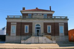
Block
From the record
60 National Register listings published here, 2 of them National Historic Landmarks.
Sources: the National Register database, National Park Service
49 topographic sheets and 50 fire insurance atlases across 8 places.
60 National Register listings published here, 2 of them National Historic Landmarks.
Sources: the National Register database, National Park Service
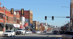
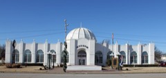
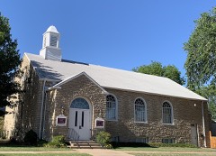
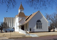
Taken for the Office of War Information and the Farm Security Administration, who photographed the country between 1935 and 1944. Works of United States government photographers, with no known restriction on use. Each opens its catalogue record.

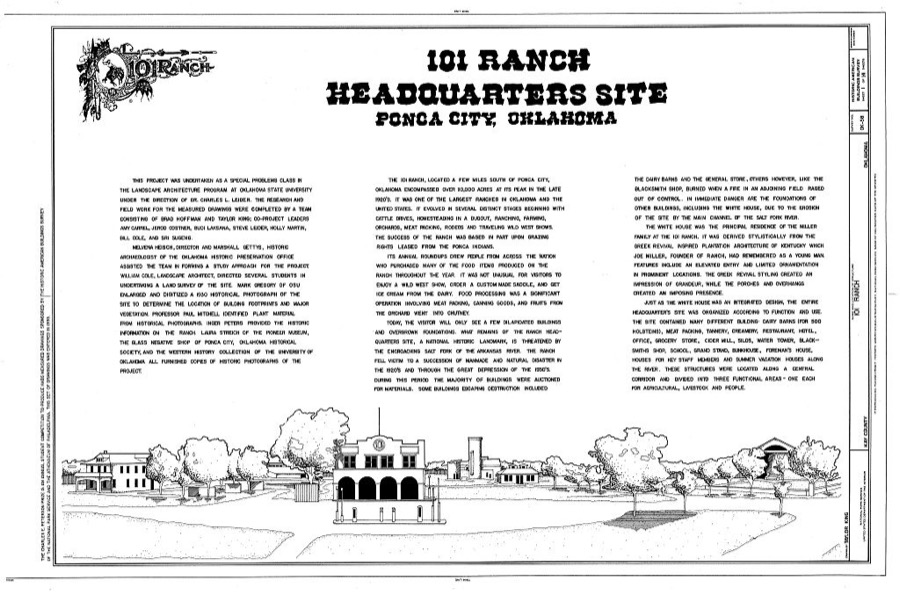
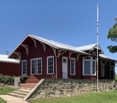
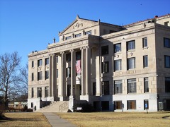
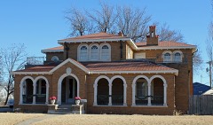
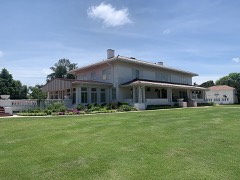
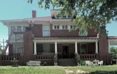
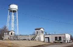
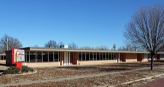
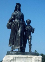
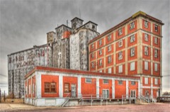
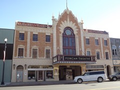
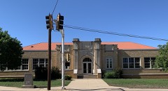
Every property in this county listed on the National Register of Historic Places, with the year it was listed and the federal nomination document.
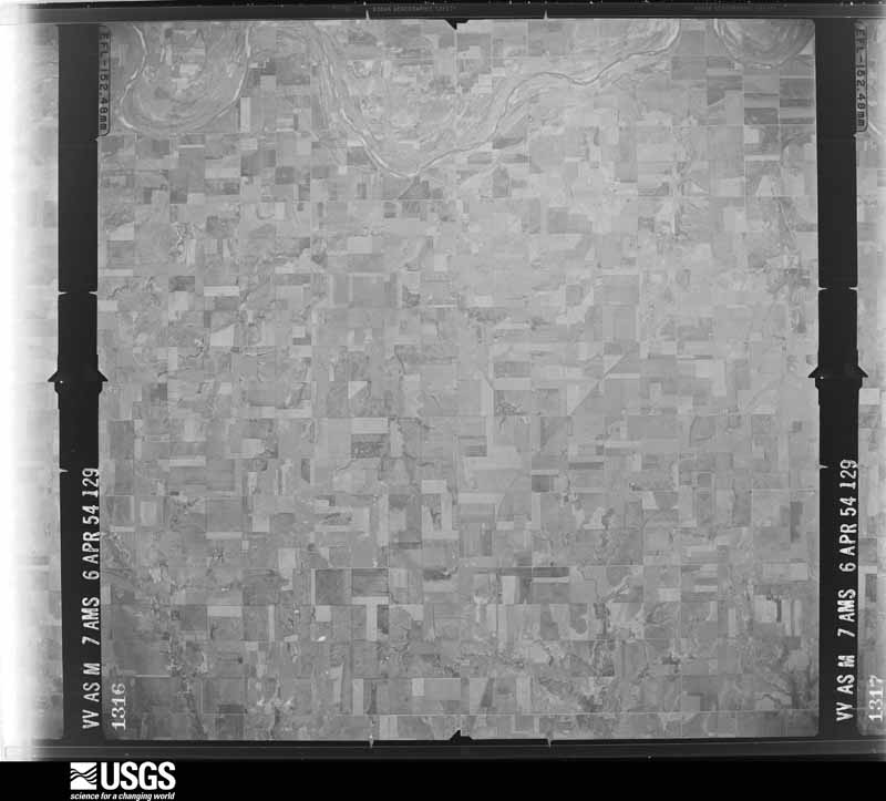
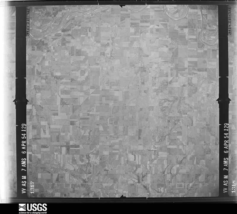
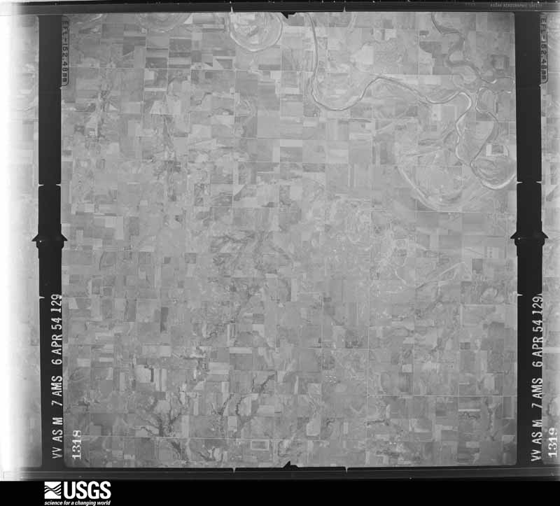
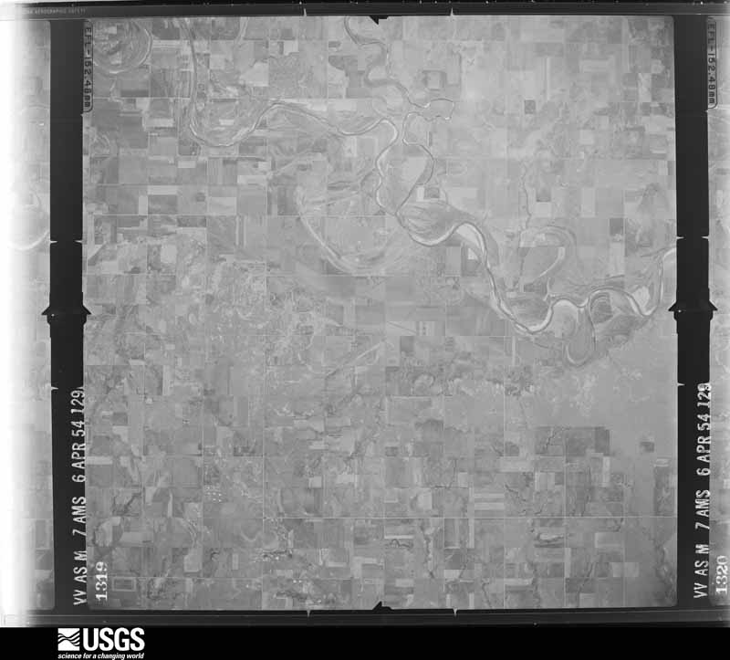
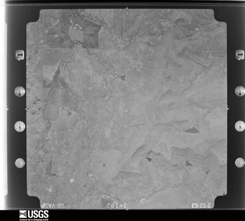
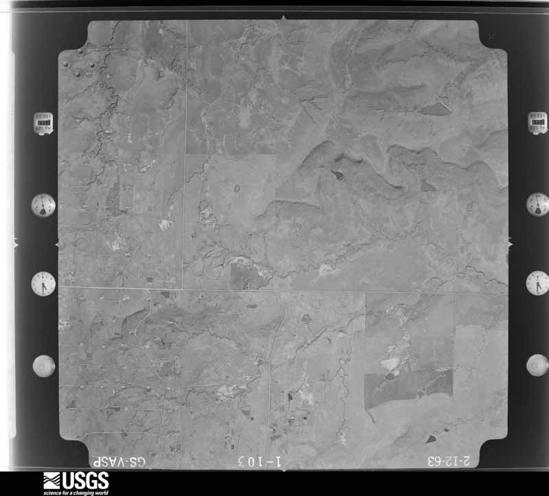
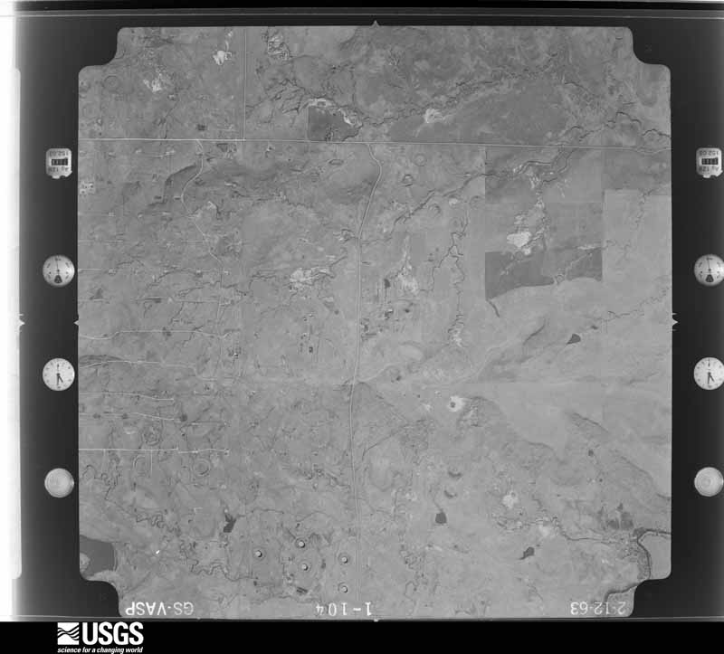
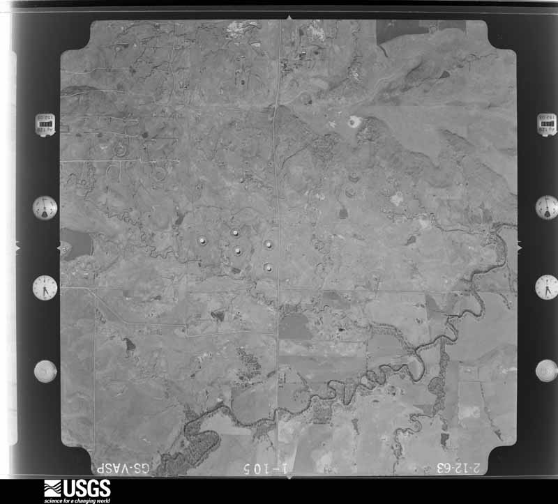
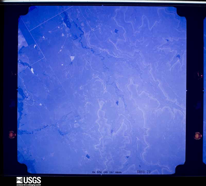
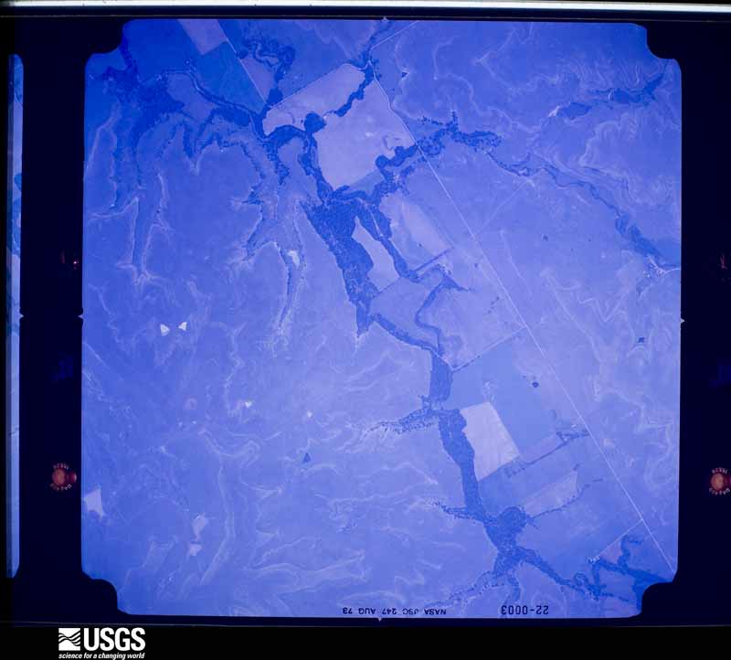
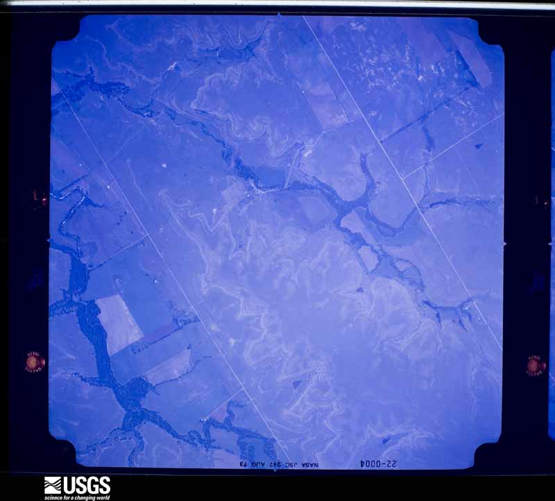
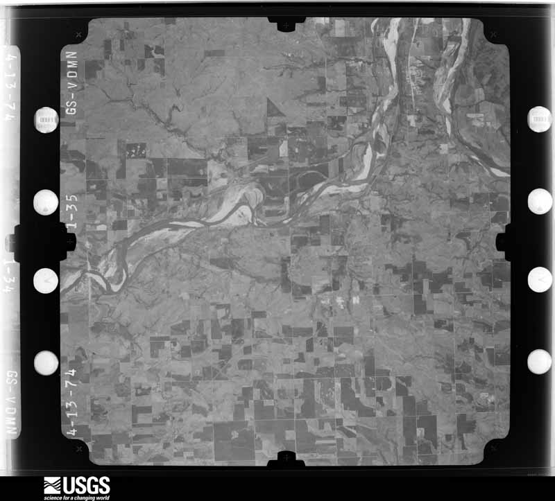
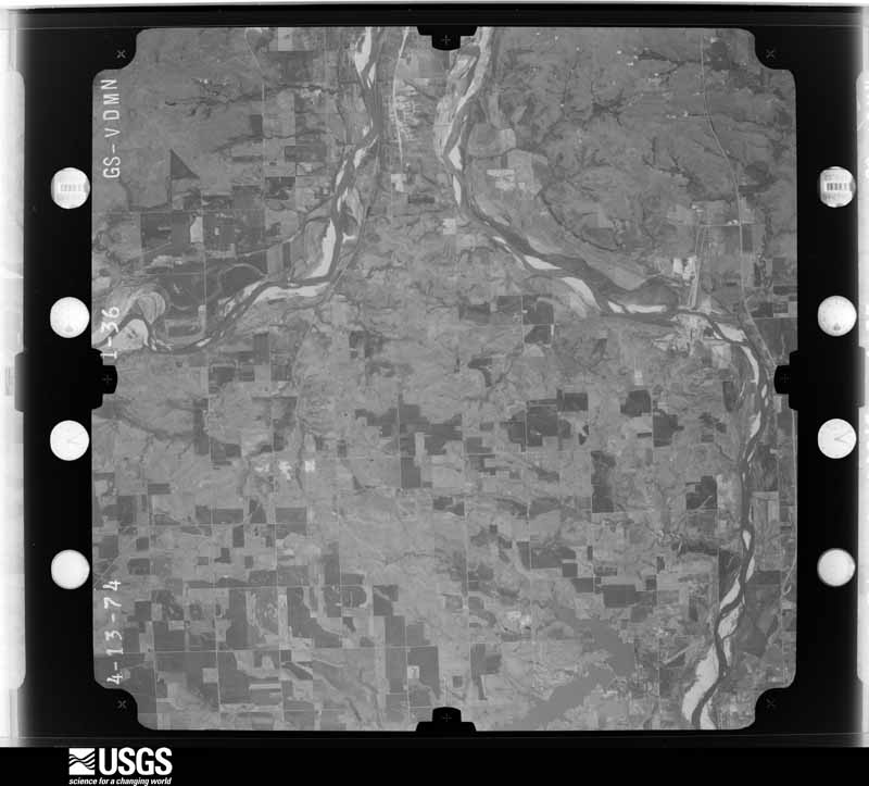
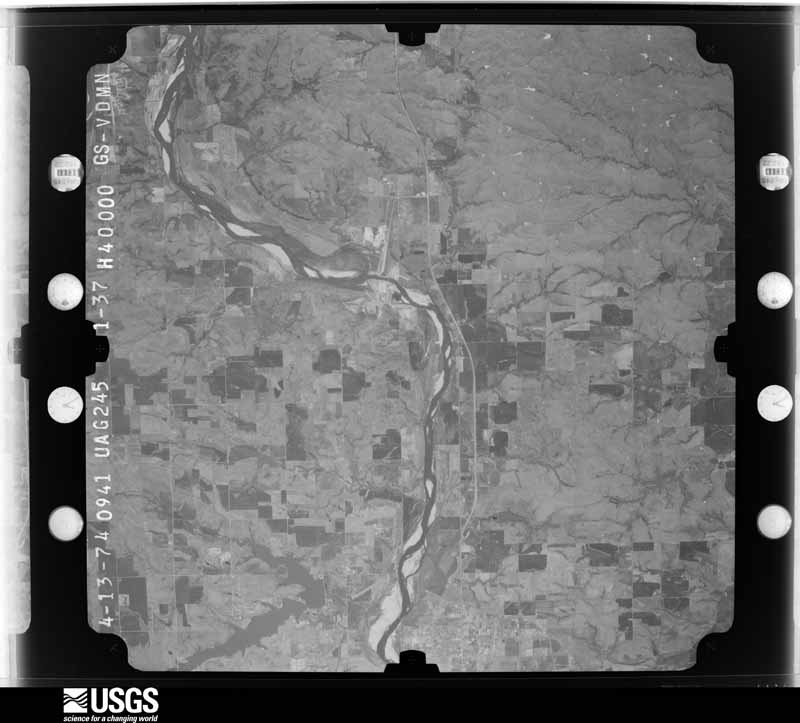
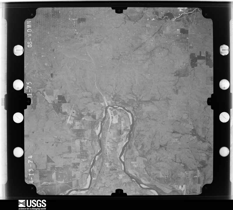
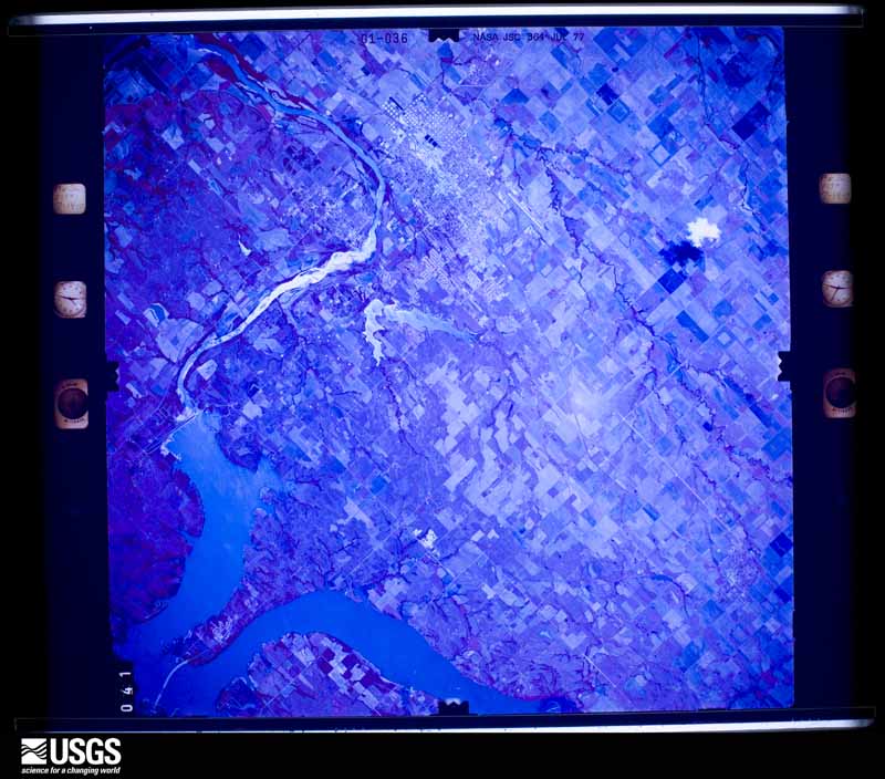
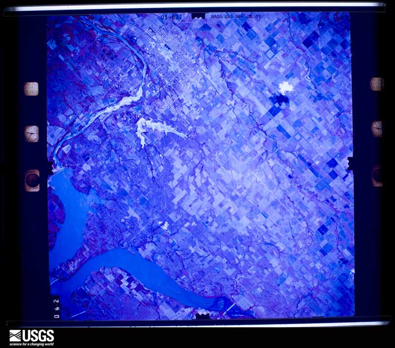
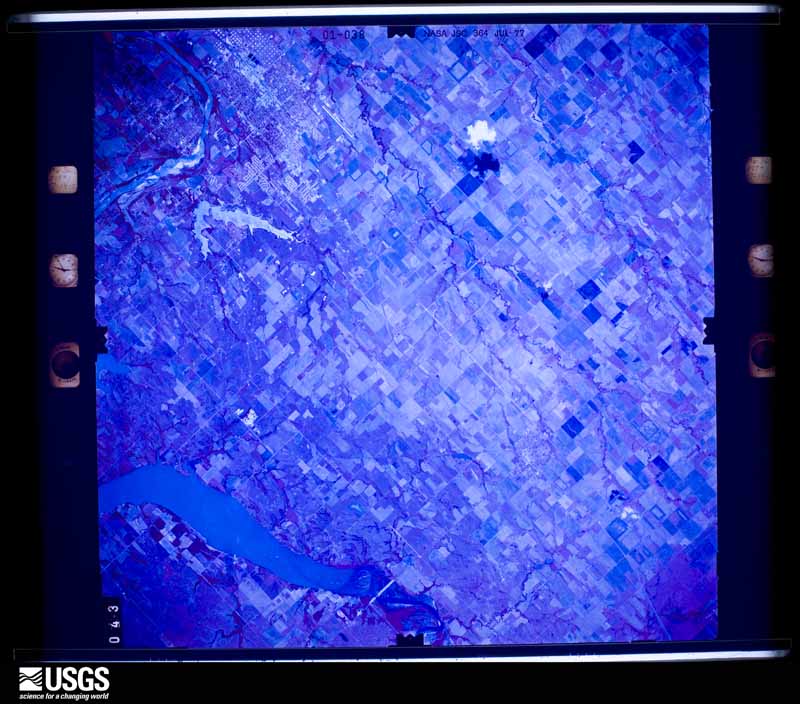
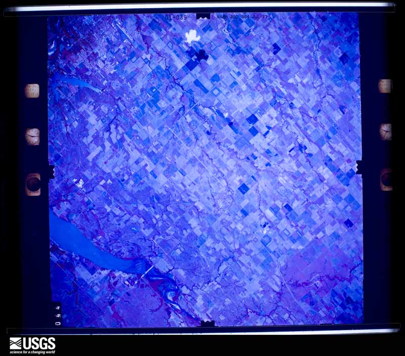
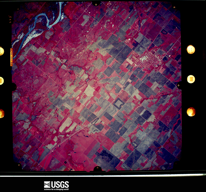
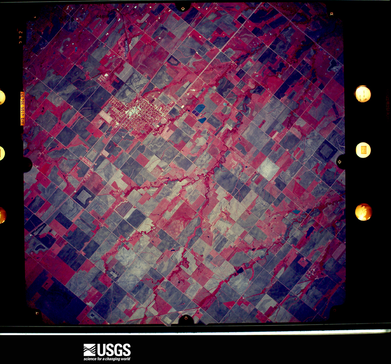
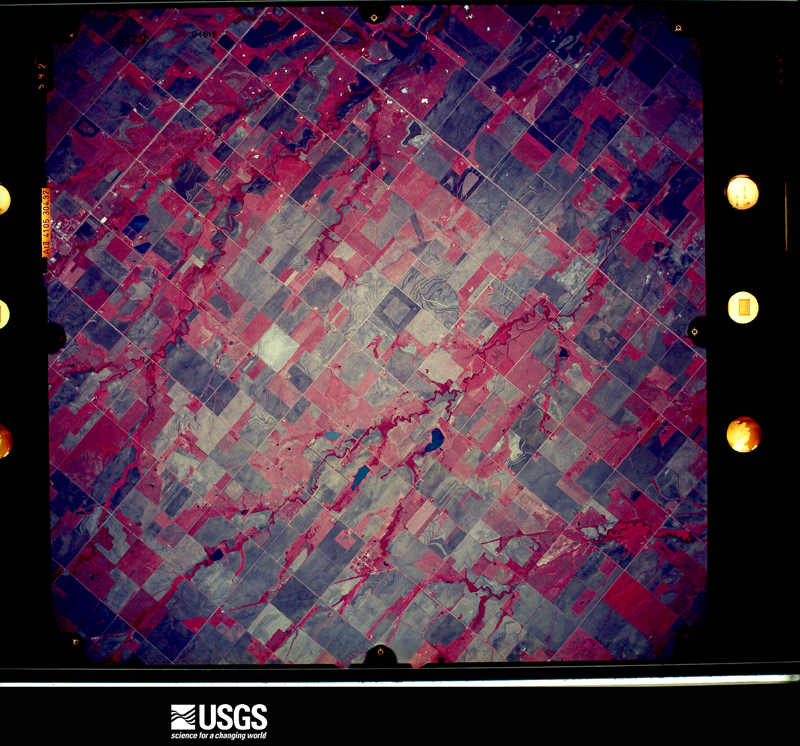
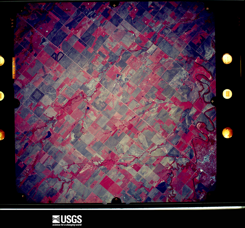
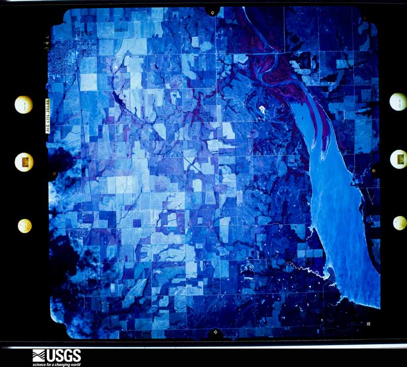
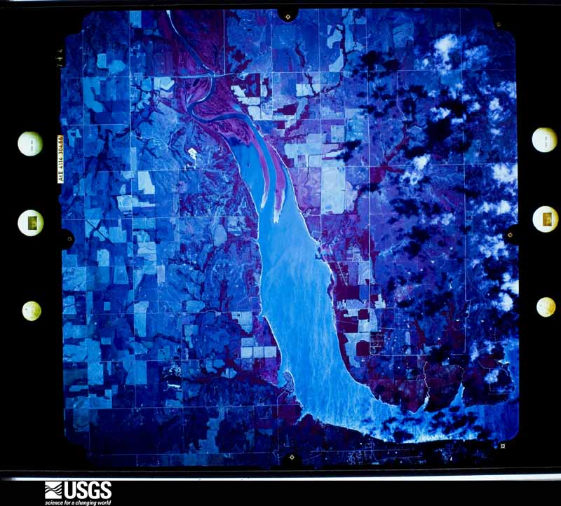
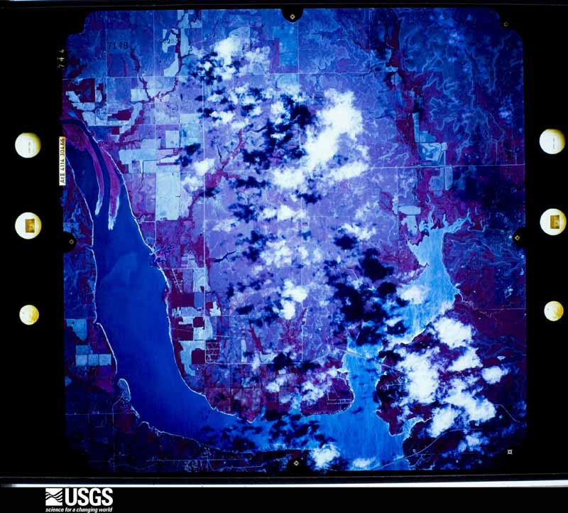
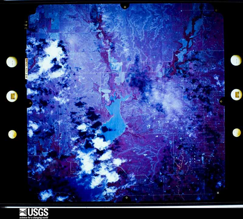
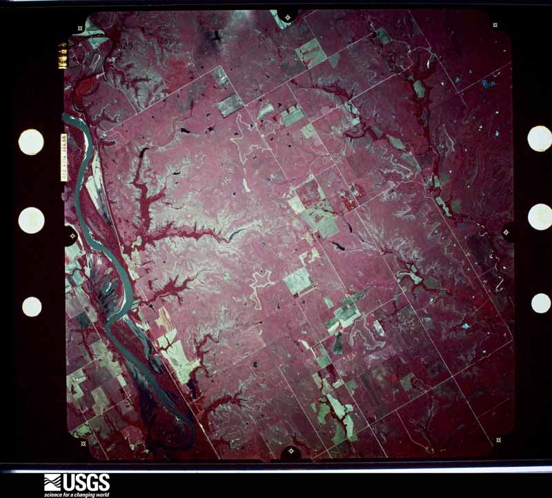
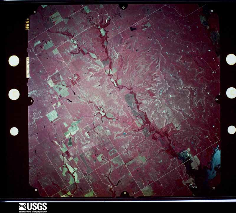
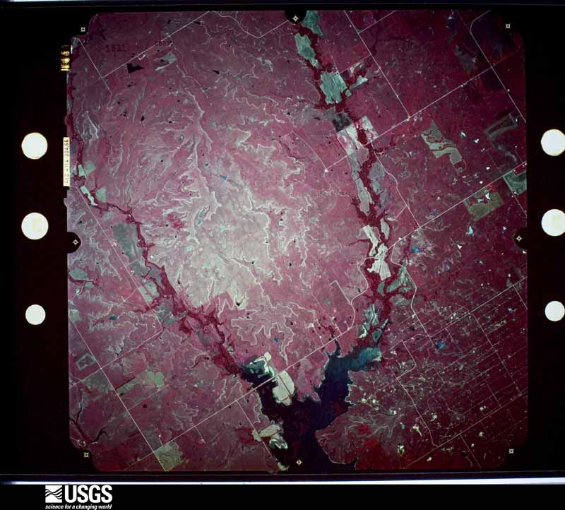
Flown by the U.S. Geological Survey between 1937 and 1989, the Aerial Photo Single Frames collection is the definitive mid-century view of the land: fields, roads and rivers as the camera saw them. The Survey holds 727 frames inside the rectangle that bounds this county; the 31 frames below were taken over the county itself, chosen across the decades of flights (at most four a year from that rectangle), so one flight cannot crowd out the rest. The full set is free to browse and download at EarthExplorer under the dataset Aerial Photo Single Frames.

The thermometers that kept this county's weather, and the gages that measured the flow of its streams, as the federal records hold them. The extremes below are measured values from those records, not estimates.
Who lived here in 1950, one enumeration district at a time, as the Census Bureau described each district. Each row opens its official National Archives result, with Population Schedules and ED Maps available there.
Every wildfire the federal occurrence database records inside this county: 162 of them, burning about 2,206 acres. 6 started naturally and 32 were recorded as arson. Each settlement page carries the fires within five miles of it.
| Reported cause | Fires |
|---|---|
| Debris and open burning | 53 |
| Missing data/not specified/undetermined | 42 |
| Arson/incendiarism | 32 |
| Misuse of fire by a minor | 12 |
| Equipment and vehicle use | 10 |
| Natural | 6 |
| Recreation and ceremony | 4 |
| Fireworks | 2 |
| Smoking | 1 |
The five largest, by the area the report gives. One of them was set deliberately.
| Date | Cause | Size | Reported by | Name on the report |
|---|---|---|---|---|
| 11 April 2018 | Missing data/not specified/undetermined | 406 acres | Oklahoma Division of Forestry | HWY 11 |
| 11 April 2018 | Missing data/not specified/undetermined | 386 acres | Oklahoma Division of Forestry | BRAKE ROAD |
| 6 November 2010 | Recreation and ceremony | 226 acres | Pawnee Agency | TOASTER |
| 13 September 2000 | Missing data/not specified/undetermined | 200 acres | Oklahoma Division of Forestry | GIBSON |
| 3 March 2017 | Arson/incendiarism | 100 acres | Pawnee Agency | SALT FORK |
| 30 January 2008 | Equipment and vehicle use | 90 acres | Pawnee Agency | PLEASANT VIEW |
| 31 October 2001 | Missing data/not specified/undetermined | 75 acres | Southern Plains Regional Office | RUNNING |
| 20 March 2018 | Debris and open burning | 46 acres | Pawnee Agency | HORSESHOE |
Every settlement page carries the fires within five miles of it - see the settlement index below.
The NOAA Storm Events Database holds 1,268 reports for this county, causing 20 deaths, 312 injuries and about $45,739,560 in recorded property damage. Each settlement page carries the reports that name it.
| Kind of event | Reports |
|---|---|
| Hail | 562 |
| Thunderstorm Wind | 507 |
| Tornado | 103 |
| Flash Flood | 75 |
| Lightning | 12 |
| Heavy Rain | 4 |
| Flood | 3 |
| Funnel Cloud | 2 |
The most serious of them, by death, then injury, then recorded damage. The accounts are quoted exactly as the forecast office filed them.
| When | Event | Place named | Harm | What the report says |
|---|---|---|---|---|
| May 1955 | Tornado (F5) | not stated | 20 killed, 280 hurt, $25,000,000 | no account filed |
| November 1973 | Tornado (F2) | not stated | 6 hurt, $2,500,000 | no account filed |
| May 1993 | Thunderstorm Wind | not stated | 3 hurt, $5,000,000 | no account filed |
| May 2001 | Lightning | Ponca City | 3 hurt, $25,000 | Two 911 dispatchers and a civilian were struck by lightning. A house was also struck by lightning causing a large fire. |
| May 1978 | Tornado (F2) | not stated | 3 hurt, $25,000 | no account filed |
| April 1956 | Tornado (F4) | not stated | 2 hurt, $250,000 | no account filed |
| August 2002 | Thunderstorm Wind | Blackwell | 2 hurt, $50,000 | Two semi-trailers and an armored vehicle were blown over on Interstate 35, near mile markers 228 and 219. Two persons were injured. |
| July 1997 | Lightning | Ponca City | 2 hurt, $35,000 | Lightning struck and set fire to a house, destroying the den and living areas. Two occupants of the house were injured in the fire. |
| June 1998 | Hail | Ponca City | 2 hurt | A man and an elderly woman were injured when they were caught outside in the hailstorm. The woman was taken to a local hospital and treated for cuts and bruises from the hail and a fractured hip. |
| June 1992 | Thunderstorm Wind | not stated | 2 hurt | no account filed |
| April 1984 | Thunderstorm Wind | not stated | 2 hurt | no account filed |
| March 1973 | Tornado (F2) | not stated | 1 hurt, $2,500,000 | no account filed |
| June 1966 | Tornado (F2) | not stated | 1 hurt, $250,000 | no account filed |
| August 2016 | Thunderstorm Wind | Tonkawa | 1 hurt, $20,000 | Two semi-trailers were blown over. One injury was reported. |
| May 2010 | Tornado (EF3) | Braman | 1 hurt | This is the Kay County portion of tornado #A2. The tornado crossed into Kay County from Grant County and continued to produce significant damage. One home was destroyed and another significantly damaged between the Grant County line and U.S. Highway 177. After the tornado crossed US-177, an anchored mobile home was destroyed and blown to the east, and a tri-level home was destroyed with the top floor blown about 50 yards northeast into some trees, and the ground floor pivoted and was displaced to the northwest exposing the basement where one minor injury occurred. The tornado continued to produce significant tree damage as it moved east-northeast, and blew semi trucks over along Interstate 35 at the Kansas state line. This tornado crossed into Sumner County Kansas. See documentation from the NWS Wichita KS for additional information. |
| August 1972 | Tornado (F1) | not stated | 1 hurt | no account filed |
| March 1991 | Tornado (F3) | not stated | $2,500,000 | no account filed |
| November 1973 | Tornado (F1) | not stated | $2,500,000 | no account filed |
| August 2009 | Thunderstorm Wind | Ponca City | $900,000 | Widespread wind damage was reported over the southeast parts of Ponca City. The damage area was from S. 8th to S. 13th from South Ave north about 4 to 5 blocks. Numerous trees and power lines were blown down. Several houses reported at least minor damage, with one home blown off its foundation and losing its roof. Monetary damage is estimated based on figures from Ponca City Emergency Management. |
| July 2005 | Thunderstorm Wind | Braman | $250,000 | Strong winds, gusting as high as 80 mph, lasted for 20 minutes causing damage across town. Large trees were downed. A brick storage building was destroyed. Several car ports were also destroyed. |
| April 1991 | Tornado (F2) | not stated | $250,000 | no account filed |
| April 1978 | Tornado (F2) | not stated | $250,000 | no account filed |
| April 1978 | Tornado (F2) | not stated | $250,000 | no account filed |
| March 1965 | Tornado (F4) | not stated | $250,000 | no account filed |
| April 1964 | Tornado (F2) | not stated | $250,000 | no account filed |
| May 1955 | Tornado (F5) | not stated | $250,000 | no account filed |
| May 1955 | Tornado (F2) | not stated | $250,000 | no account filed |
| April 2026 | Tornado (EF1) | Nardin | $200,000 | Braman Tornado: Numerous spotters and chasers observed this tornado develop in western Kay County. The initial damage occurred near 140th Street and Earth Road where a tree was uprooted and a farm house suffered roof damage. The tornado continued generally east breaking a power pole on 124th Street south of Earth Road and destroying a barn and damaging more power poles and trees near Earth Road east of 124th Street. The first of two satellite tornadoes developed in this area near Earth Road between 124th and 108th. The primary tornado moved north, then looped back around to an easterly movement as the motion of both the primary tornado and the satellite tornado was influenced by the Fujiwhara effect.||As the primary tornado moved east-northeast after this interaction, a barn was destroyed along Earth Road east of 108th Street, and a number of trees and power poles were damaged along 76th Street near Fork Road. As the tornado was crossing the Chickaskia River, a second satellite tornado developed and rotated around this primary tornado. The tornado continued east snapping power poles along 60th Street, and destroying two barns and more power poles along 44th Street just south of the city limits of Braman. The survey and mobile radar data from the Doppler on Wheels project show that the tornado made another loop just southeast of Braman and east of US-177, then moved southeast damaging trees along Fork Road east of 29th Street before dissipating. |
| April 2026 | Tornado (EF1) | Kaw City | $100,000 | While the tornado that formed west of Ponca City was passing to the south of Kaw Lake, observers witnessed a second tornado develop near the southwest portion of Kaw Lake. The witnesses watched the tornado develop on a hill just northwest of McFadden Cove, and then move southeast across Hideaway Marina causing damage to boat shelters and docks at the marina. The tornado continued southeast as a waterspout over the southwestern portion of Kaw Lake, then moved into Osage County just east of the dam. See the Storm Data report from the NWS office in Tulsa for details of this tornado in Osage County. |
| May 2024 | Tornado (EF1) | Kaw City | $100,000 | A tornado developed west of Kaw Lake near Tower Road and Lake Road, then moved northeast through the Coon Creek Cove area of Kaw Lake producing tree damage, damage to a boat dock, and overturned a camper. The tornado then moved over Kaw Lake and likely dissipated north of the northeastern arm of the lake in northeastern Kay County. |
| July 2005 | Thunderstorm Wind | Blackwell | $100,000 | Roofs were blown off many homes. Windows were blown out of numerous store fronts. An antenna at the police station was blown over. Several power lines and trees were also downed. |
| April 2001 | Thunderstorm Wind | Kaw City | $100,000 | Several campers and farm equipment were blown over. A boat was blown off a trailer. Part of the pavillion roof at Northern Oklahoma College was blown off. A house and shed sustained minor damage, and numerous trees were downed. |
| May 2019 | Thunderstorm Wind | Newkirk | $80,000 | A storm associated with a Quasi-Linear Convective System (QLCS) produced widespread wind damage and an embedded tornado path. The area of wind developed just southwest of Newkirk and produced a swath of mostly light damage to trees through central, southern and eastern sections of Newkirk including downtown. A few homes and buildings were damaged. The most significant wind damage was on the northeast side where a mobile home was destroyed. The swath of wind damage was generally 300-500 yards wide through much of Newkirk, but ended in a large divergent downburst just northeast of town that became about 1500 yards wide. |
| April 2024 | Tornado (EF1) | Newkirk | $75,000 | A mobile home was damaged near where this tornado developed west of La Cann Road and south of Gate Road. The tornado moved east-northeast producing damage to another mobile home and trees along Gate Road. |
| May 2024 | Tornado (EF0) | Ponca City | $50,000 | A brief tornado moved through a neighborhood just south of Lake Ponca. House and tree damage was observed along Goldenrod Avenue and East Lake Drive. |
| July 2023 | Thunderstorm Wind | Blackwell | $50,000 | Varying degrees of roof damage to buildings near the intersection of Main Street and Oklahoma Avenue. Additional reports of tree damage throughout the community of Blackwell. Time is radar estimated. |
| June 2002 | Lightning | Ponca City | $50,000 | Lightning struck the Conoco refinery, causing a fire. |
| June 1998 | Lightning | Blackwell | $50,000 | Lightning struck the roof of a funeral home, blowing one 3-foot hole, and 3 grapefruit-sized holes in the roof. The bolt set fire to the attic, causing extensive damage to the structure and its contents. |
| October 1998 | Thunderstorm Wind | Ponca City | $45,000 | no account filed |
| June 2025 | Thunderstorm Wind | Newkirk | $40,000 | A gas station canopy was blown over in Newkirk. |
| April 1999 | Thunderstorm Wind | Ponca City | $40,000 | no account filed |
| May 2001 | Thunderstorm Wind | Tonkawa | $35,000 | The roof of a trailer home was blown off, and pontoon boats were blown over. |
| June 2025 | Thunderstorm Wind | Newkirk | $25,000 | A relayed image shows a gas station awning blown over. The event time is estimated from radar observations. |
| May 2019 | Tornado (EF1) | Newkirk | $25,000 | A storm associated with a Quasi-Linear Convective System (QLCS) produced a wide swath of wind damage and an embedded tornado in and near Newkirk. The tornado developed on the southwest side of town, moved northeast to just southeast of downtown, then turned north along Pine Avenue dissipating just northeast of town. A few houses had some minor damage and a number of sheds and outbuildings were damaged. Tree and power line damage was also observed along the path. |
| June 1997 | Hail | Tonkawa | $25,000 | A combination of hail as large as golf balls and strong winds caused widespread damage in Tonkawa, particularly over an 11-block area on the north side of town. Roofs were severely damaged and windows were broken in both vehicles and houses. Large tree limbs were downed and trees were uprooted by winds estimated at up to 70 mph. |
| March 1979 | Tornado (F2) | not stated | $25,000 | no account filed |
| April 1978 | Tornado (F2) | not stated | $25,000 | no account filed |
| April 1978 | Tornado (F2) | not stated | $25,000 | no account filed |
| April 1973 | Tornado (F2) | not stated | $25,000 | no account filed |
| June 1973 | Tornado (F2) | not stated | $25,000 | no account filed |
| June 1971 | Tornado (F2) | not stated | $25,000 | no account filed |
| May 1968 | Tornado (F2) | not stated | $25,000 | no account filed |
| April 1968 | Tornado (F2) | not stated | $25,000 | no account filed |
| May 1967 | Tornado (F1) | not stated | $25,000 | no account filed |
| March 1961 | Tornado (F3) | not stated | $25,000 | no account filed |
| May 1959 | Tornado (F2) | not stated | $25,000 | no account filed |
| April 1957 | Tornado (F0) | not stated | $25,000 | no account filed |
| March 1954 | Tornado (F2) | not stated | $25,000 | no account filed |
| June 1951 | Tornado (F1) | not stated | $25,000 | no account filed |
| April 2024 | Tornado (EF1) | Peckham | $20,000 | This tornado began southwest of Newkirk, west of Ranch Drive and north of Canteen Road damaging a barn and a carport. The tornado continued northeast damaging trees before dissipating near Waverly Street and Peckham Road west of Newkirk. |
The Survey's mineral resources record lists 81 workings inside this county. 11 still produce and 70 are closed or unrecorded. Each settlement page carries the workings within five miles of it.
| Commodity | Workings |
|---|---|
| Sand and Gravel, Construction | 45 |
| Stone, Crushed/Broken | 21 |
| Clay | 14 |
| Clay, Sand and Gravel, Construction | 1 |
The least common of them first, because a county's hundredth gravel pit says nothing its first ten did not.
| Where | Site | Commodity | Status | Recorded |
|---|---|---|---|---|
| Unknown Sand Pit | Clay, Sand and Gravel, Construction | Past Producer | ||
| Unknown Caly Pit | Clay | Past Producer | ||
| Unknown Clay Pit | Clay | Past Producer | ||
| Unknown Clay Pit | Clay | Past Producer | ||
| Unknown Shale Pit | Clay | Past Producer | ||
| Unknown Shale Pit | Clay | Past Producer | ||
| Unknown Shale Pit | Clay | Past Producer | ||
| Unknown Shale Pit | Clay | Past Producer | ||
| Unknown Shale Pit | Clay | Past Producer | ||
| Unknown Shale Pit | Clay | Past Producer | ||
| Unknown Shale Pit | Clay | Past Producer | ||
| Unknown Shale Pit | Clay | Producer | ||
| Unknown Shale Pit | Clay | Past Producer | ||
| Unknown Shale Pits | Clay | Past Producer | ||
| Unknown Shale Pits | Clay | Past Producer | ||
| Otto Quarry & Plant | Stone, Crushed/Broken | Producer | ||
| Peel Quarry | Stone, Crushed/Broken | Producer | ||
| Unknown Limestone Pit | Stone, Crushed/Broken | Past Producer | ||
| Unknown Limestone Pit | Stone, Crushed/Broken | Past Producer | ||
| Unknown Limestone Pit | Stone, Crushed/Broken | Past Producer | ||
| Unknown Limestone Pit | Stone, Crushed/Broken | Past Producer | ||
| Unknown Limestone Pit | Stone, Crushed/Broken | Past Producer | ||
| Unknown Limestone Pit | Stone, Crushed/Broken | Producer | ||
| Unknown Limestone Pit | Stone, Crushed/Broken | Past Producer | ||
| Unknown Limestone Pit | Stone, Crushed/Broken | Past Producer | ||
| Unknown Limestone Pit | Stone, Crushed/Broken | Past Producer | ||
| Unknown Limestone Pit | Stone, Crushed/Broken | Past Producer | ||
| Unknown Limestone Pit | Stone, Crushed/Broken | Past Producer | ||
| Unknown Limestone Pit | Stone, Crushed/Broken | Past Producer | ||
| Unknown Limestone Pit | Stone, Crushed/Broken | Past Producer | ||
| Unknown Limestone Pit | Stone, Crushed/Broken | Past Producer | ||
| Unknown Limestone Pits | Stone, Crushed/Broken | Past Producer | ||
| Unknown Limestone Pits | Stone, Crushed/Broken | Past Producer | ||
| Unknown Limestone Pits | Stone, Crushed/Broken | Past Producer | ||
| Unknown Limestone Pits | Stone, Crushed/Broken | Past Producer | ||
| Unknown Limestone Pits | Stone, Crushed/Broken | Past Producer | ||
| Evans & Associates Pit | Sand and Gravel, Construction | Producer | ||
| Fagg Pit | Sand and Gravel, Construction | Past Producer | ||
| Lee Top Const Co Sand Pit | Sand and Gravel, Construction | Producer | ||
| Miller Co Gravel Pit | Sand and Gravel, Construction | Producer | ||
| No. 1 Sand Pit | Sand and Gravel, Construction | Producer | ||
| Nowa Sanitary Landfill Site | Sand and Gravel, Construction | Producer | ||
| Sober Bros Pits No.2,3, 4 & 5 | Sand and Gravel, Construction | Producer | ||
| Unknown Gravel Pit | Sand and Gravel, Construction | Past Producer | ||
| Unknown Gravel Pit | Sand and Gravel, Construction | Producer | ||
| Unknown Gravel Pit | Sand and Gravel, Construction | Past Producer | ||
| Unknown Gravel Pit | Sand and Gravel, Construction | Past Producer | ||
| Unknown Gravel Pit | Sand and Gravel, Construction | Past Producer | ||
| Unknown Gravel Pits | Sand and Gravel, Construction | Past Producer | ||
| Unknown Sand Pit | Sand and Gravel, Construction | Past Producer | ||
| Unknown Sand Pit | Sand and Gravel, Construction | Past Producer | ||
| Unknown Sand Pit | Sand and Gravel, Construction | Past Producer | ||
| Unknown Sand Pit | Sand and Gravel, Construction | Past Producer | ||
| Unknown Sand Pit | Sand and Gravel, Construction | Past Producer | ||
| Unknown Sand Pit | Sand and Gravel, Construction | Past Producer | ||
| Unknown Sand Pit | Sand and Gravel, Construction | Past Producer | ||
| Unknown Sand Pit | Sand and Gravel, Construction | Past Producer | ||
| Unknown Sand Pit | Sand and Gravel, Construction | Past Producer | ||
| Unknown Sand Pit | Sand and Gravel, Construction | Past Producer | ||
| Unknown Sand Pit | Sand and Gravel, Construction | Past Producer | ||
| Unknown Sand Pit | Sand and Gravel, Construction | Past Producer | ||
| Unknown Sand Pit | Sand and Gravel, Construction | Past Producer | ||
| Unknown Sand Pit | Sand and Gravel, Construction | Past Producer | ||
| Unknown Sand Pit | Sand and Gravel, Construction | Past Producer | ||
| Unknown Sand Pit | Sand and Gravel, Construction | Past Producer | ||
| Unknown Sand Pit | Sand and Gravel, Construction | Past Producer | ||
| Unknown Sand Pit | Sand and Gravel, Construction | Past Producer | ||
| Unknown Sand Pit | Sand and Gravel, Construction | Past Producer | ||
| Unknown Sand Pit | Sand and Gravel, Construction | Past Producer | ||
| Unknown Sand Pit | Sand and Gravel, Construction | Past Producer | ||
| Unknown Sand Pit | Sand and Gravel, Construction | Past Producer | ||
| Unknown Sand Pit | Sand and Gravel, Construction | Past Producer | ||
| Unknown Sand Pit | Sand and Gravel, Construction | Past Producer | ||
| Unknown Sand Pits | Sand and Gravel, Construction | Past Producer | ||
| Unknown Sand Pits | Sand and Gravel, Construction | Past Producer | ||
| Unknown Sand Pits | Sand and Gravel, Construction | Past Producer | ||
| Unknown Sand Pits | Sand and Gravel, Construction | Past Producer | ||
| Unknown Sand Pits | Sand and Gravel, Construction | Past Producer | ||
| Unknown Sand Pits | Sand and Gravel, Construction | Past Producer | ||
| Unknown Sand Pits | Sand and Gravel, Construction | Past Producer | ||
| Unknown Shale Pit | Sand and Gravel, Construction | Past Producer |
Named settlements recorded in the Geographic Names Information System, each with the topographic sheets covering it. Villages, hamlets and abandoned places alike. Each is shown with the nearest named watercourse or landform and the survey quadrangle it falls on. The 8 places that were also surveyed for fire insurance come first, with the number of atlases and photographs held for them.
Blackwell census division · 74631 · On Bitter Creek · Blackwell quadrangle
11 sheets, 1955 to 1985
Fire insurance: 10 atlases
Braman census division · 74632 · Braman quadrangle
11 sheets, 1955 to 1985
Fire insurance: 3 atlases
Newkirk census division · 74604 · Kildare quadrangle
11 sheets, 1955 to 1985
Fire insurance: 6 atlases
Newkirk census division · 74647 · Newkirk quadrangle
11 sheets, 1955 to 1985
Fire insurance: 9 atlases
Ponca City census division · 74601 · Ponca City quadrangle
11 sheets, 1955 to 1985
Fire insurance: 11 atlases
Tonkawa census division · 74653 · Tonkawa quadrangle
11 sheets, 1955 to 1985
Fire insurance: 6 atlases
Braman census division · 74647 · On Spring Creek · Peckham quadrangle
10 sheets, 1955 to 1985
Kaw City census division · 74641 · Kaw City quadrangle
14 sheets, 1935 to 1985
No longer a settlement
Kaw City census division · 74641 · On Beaver Creek · Kaw City quadrangle
14 sheets, 1935 to 1985
Kaw City census division · 74604 · On Fishhook Creek · Charley Creek West quadrangle
15 sheets, 1936 to 1985
Kaw City census division · 74641 · On Beaver Creek · Kaw City quadrangle
14 sheets, 1935 to 1985
Ponca City census division · 74601 · On Salt Fork Arkansas River · Ponca City SE quadrangle
10 sheets, 1955 to 1985
The vanished settlements of Kay County: the places named above that are no longer on the map.
11 topographic sheets and 11 fire insurance atlases, 1894 to 1947
11 topographic sheets and 10 fire insurance atlases, 1895 to 1948
11 topographic sheets and 9 fire insurance atlases, 1894 to 1942
11 topographic sheets and 6 fire insurance atlases, 1895 to 1909
11 topographic sheets and 6 fire insurance atlases, 1903 to 1931
0 topographic sheets and 4 fire insurance atlases, 1905 to 1924
11 topographic sheets and 3 fire insurance atlases, 1905 to 1911
The complete index, with nothing left out. Each of these is a separate record with its own page: a federal survey report, or the case file that argued a property on to the National Register. Both are public domain and reproduced word for word.
The vanished settlements of Kay County, the places these records name that are no longer on the map.