Block
From the record
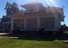
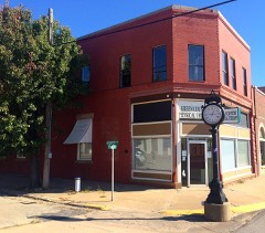
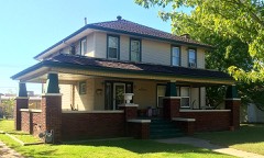
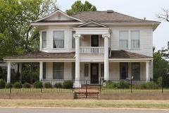
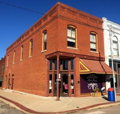
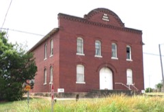
48 National Register listings published here.
Sources: the National Register database, National Park Service
56 topographic sheets and 34 fire insurance atlases across 7 places.
48 National Register listings published here.
Sources: the National Register database, National Park Service
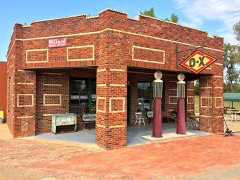
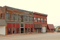
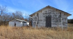
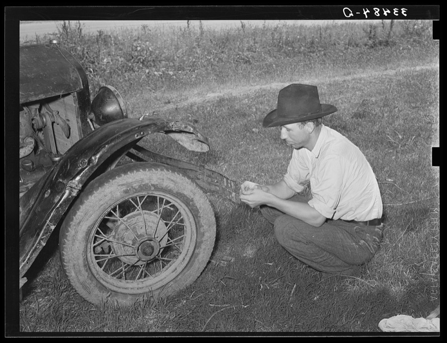
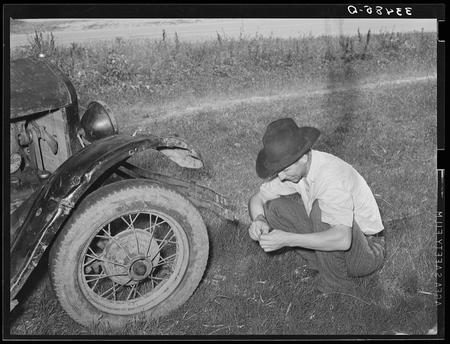
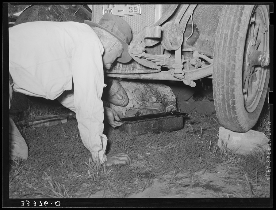
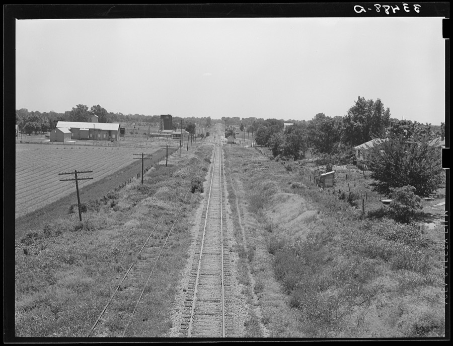
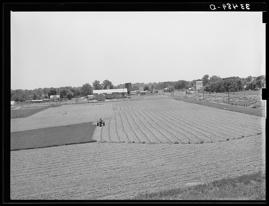
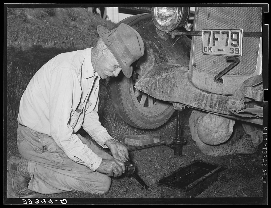
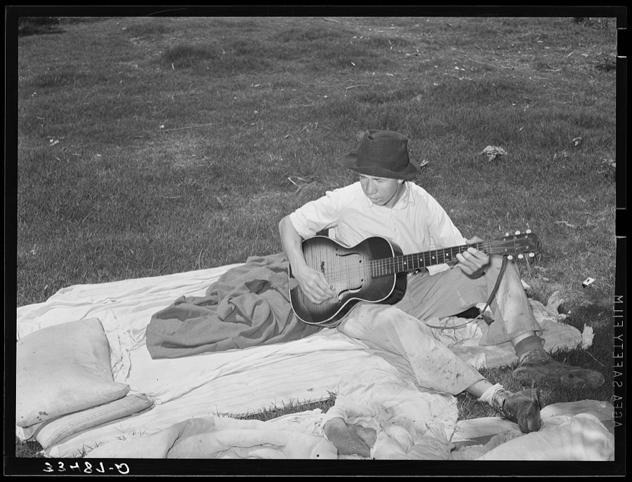
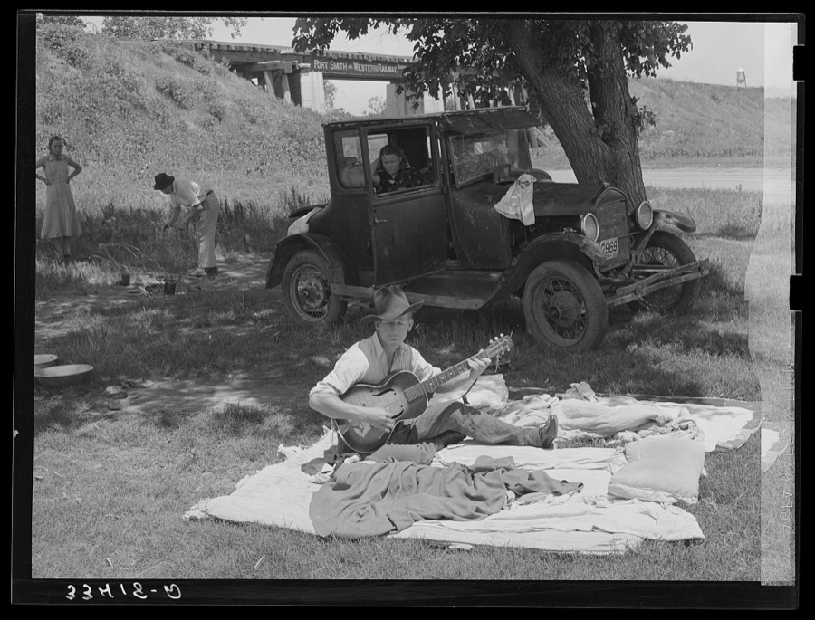
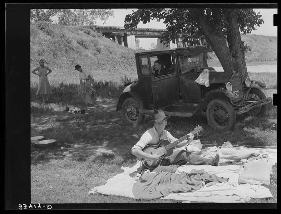
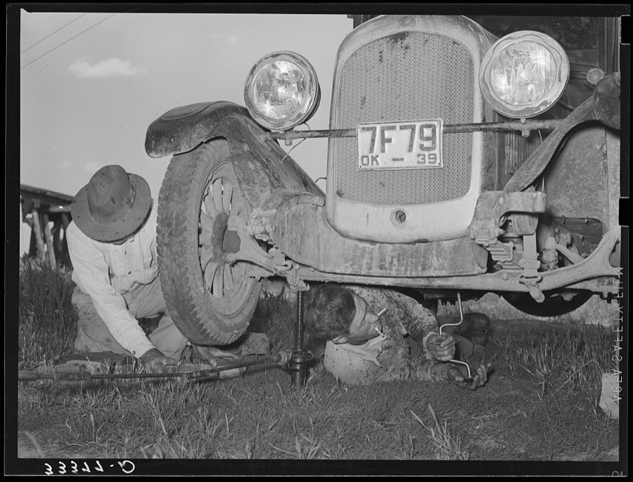
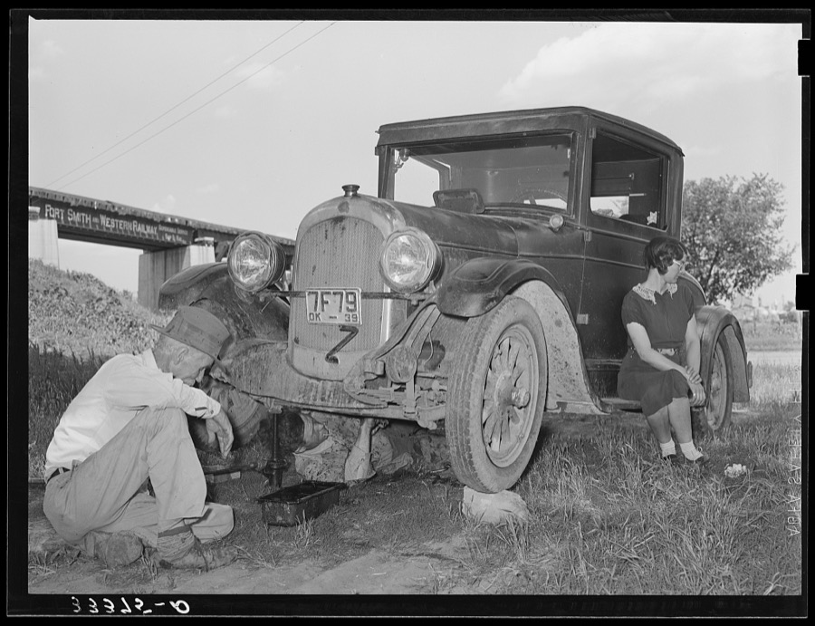
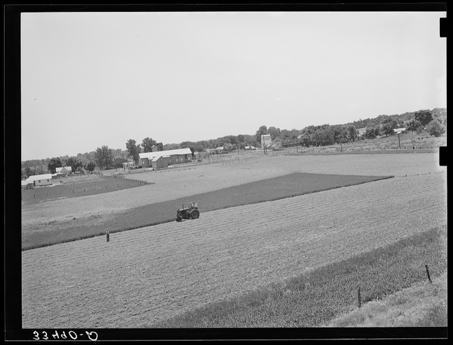
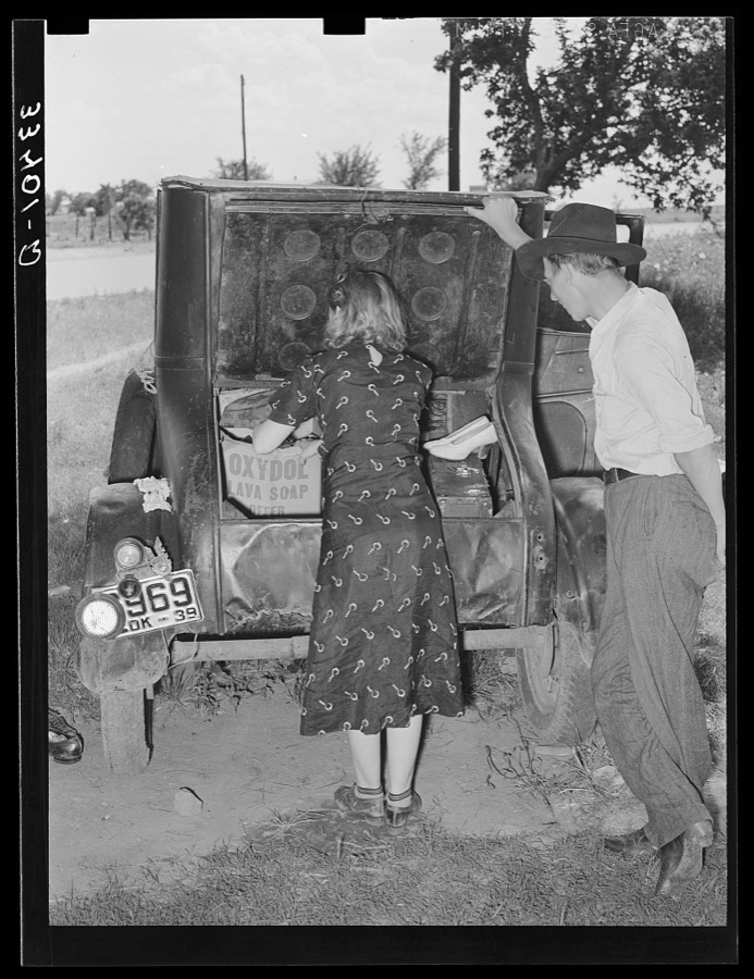
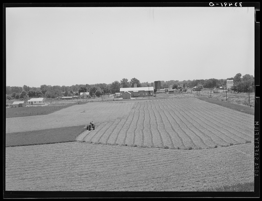
Taken for the Office of War Information and the Farm Security Administration, who photographed the country between 1935 and 1944. Works of United States government photographers, with no known restriction on use. Each opens its catalogue record.







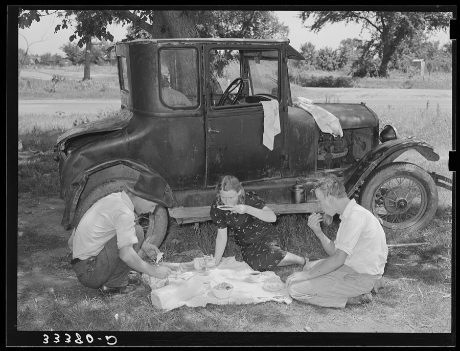

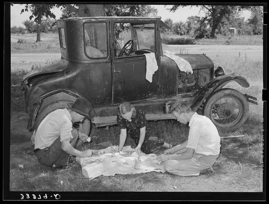
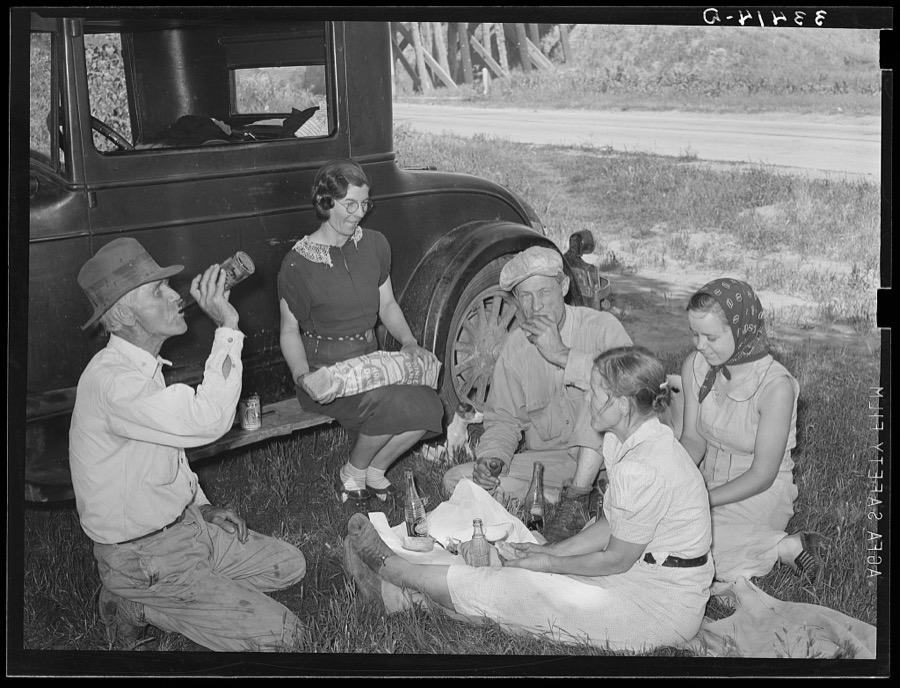

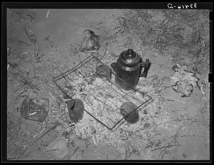


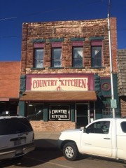
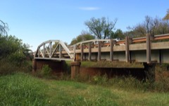
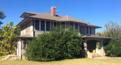
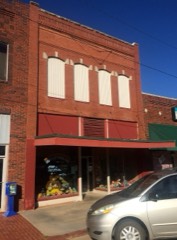
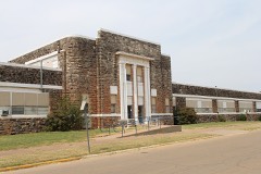
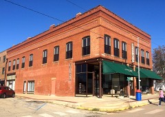
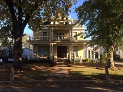
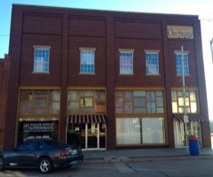
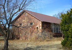
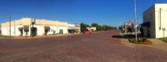
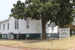
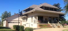
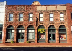
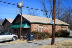
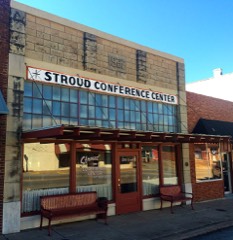
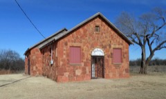
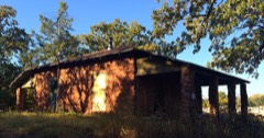
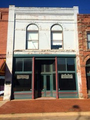
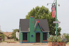
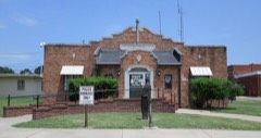
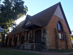
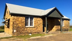
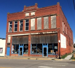
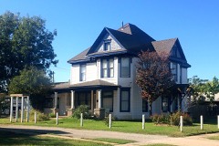
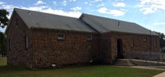
Every property in this county listed on the National Register of Historic Places, with the year it was listed and the federal nomination document.
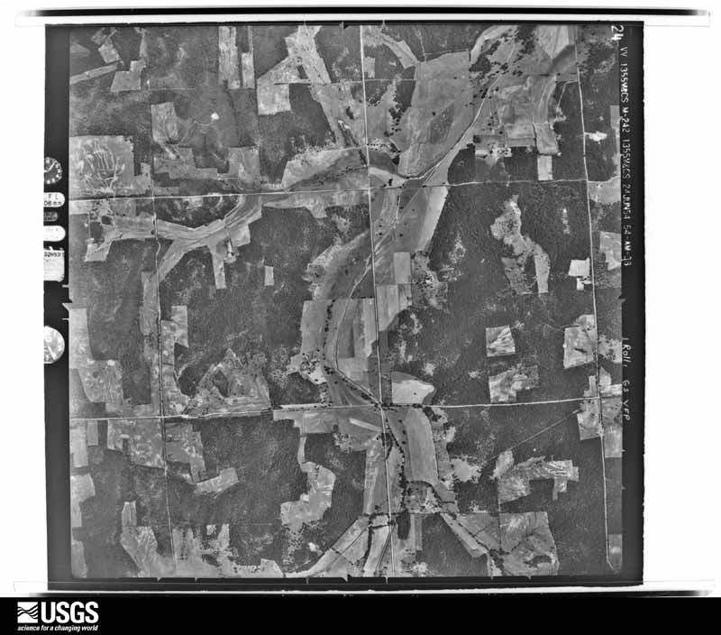
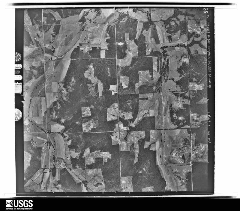
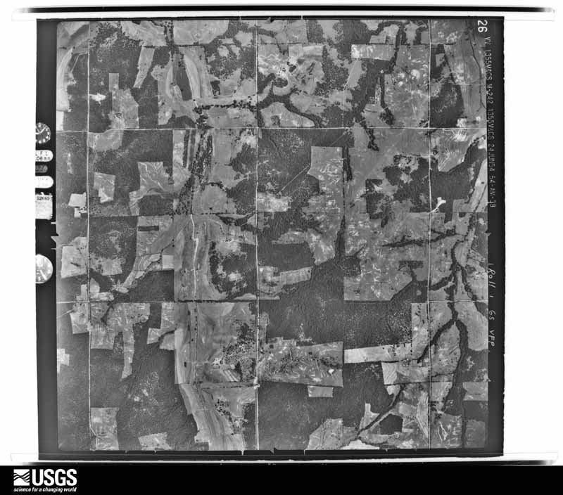
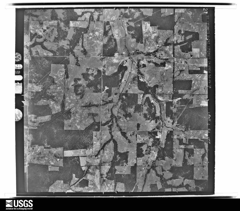
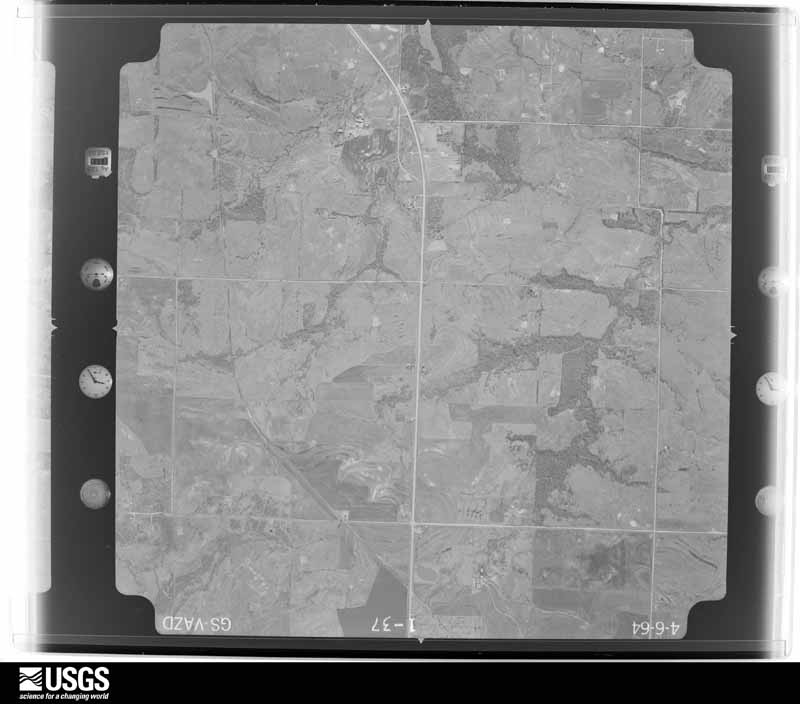
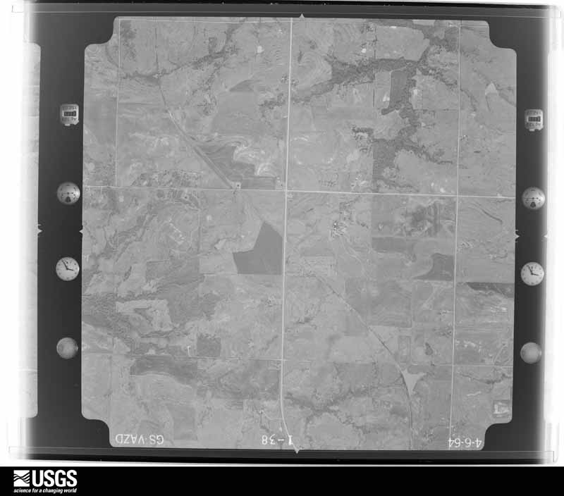
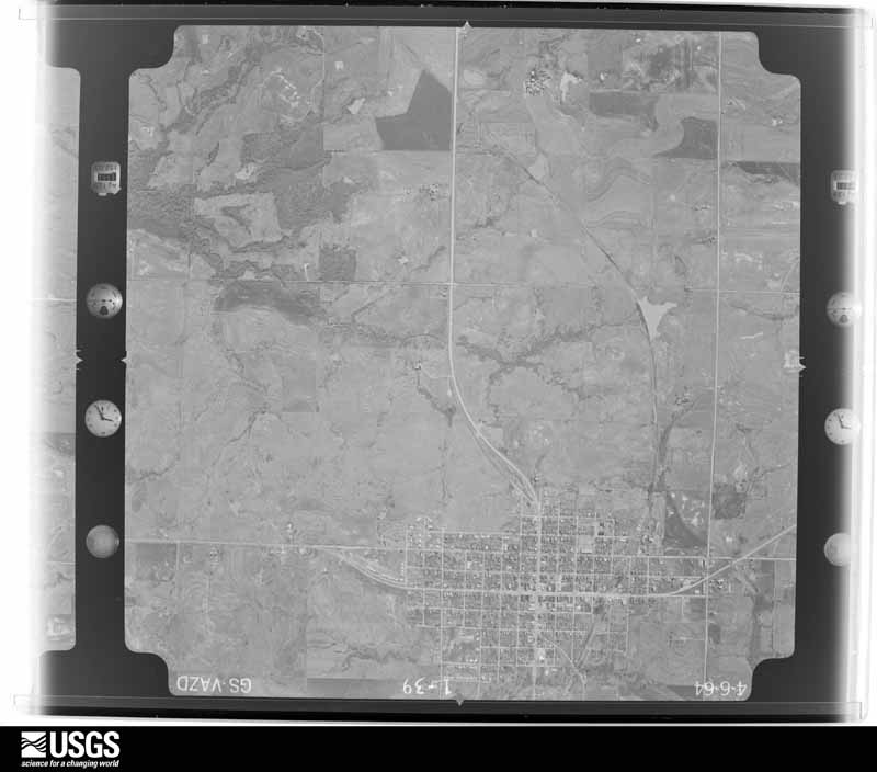
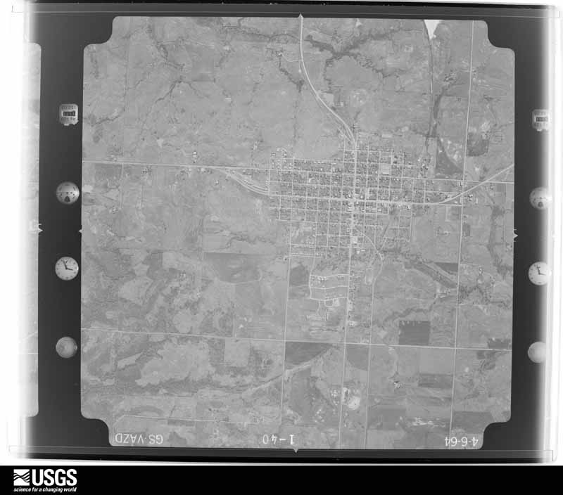
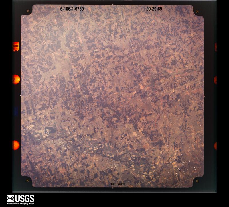
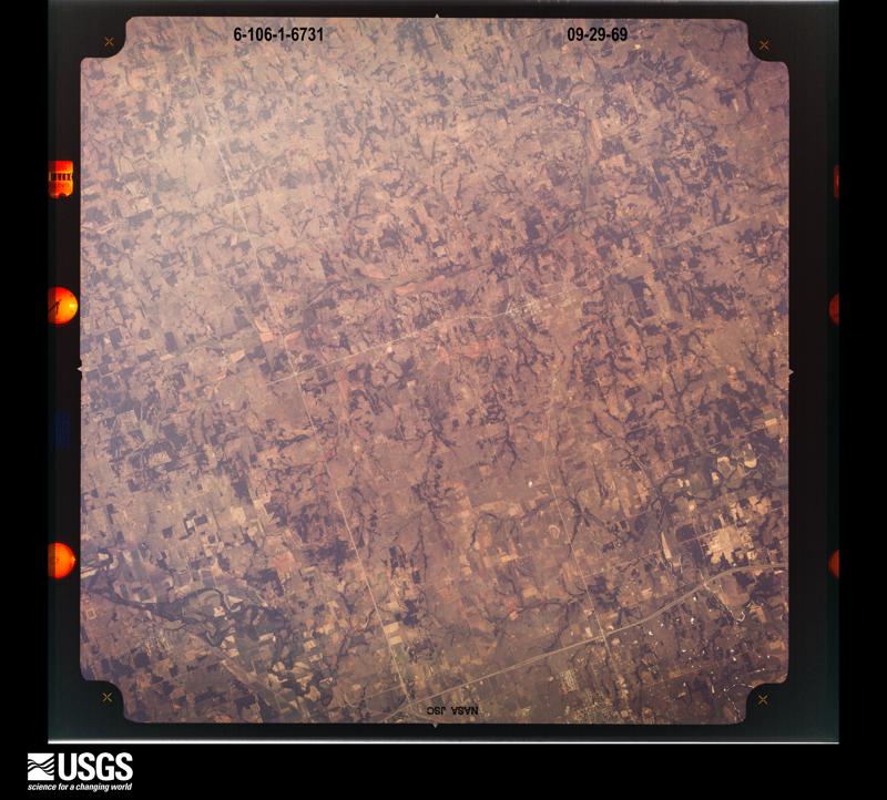
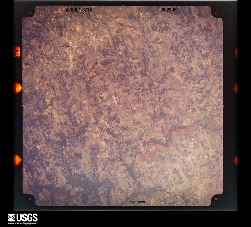
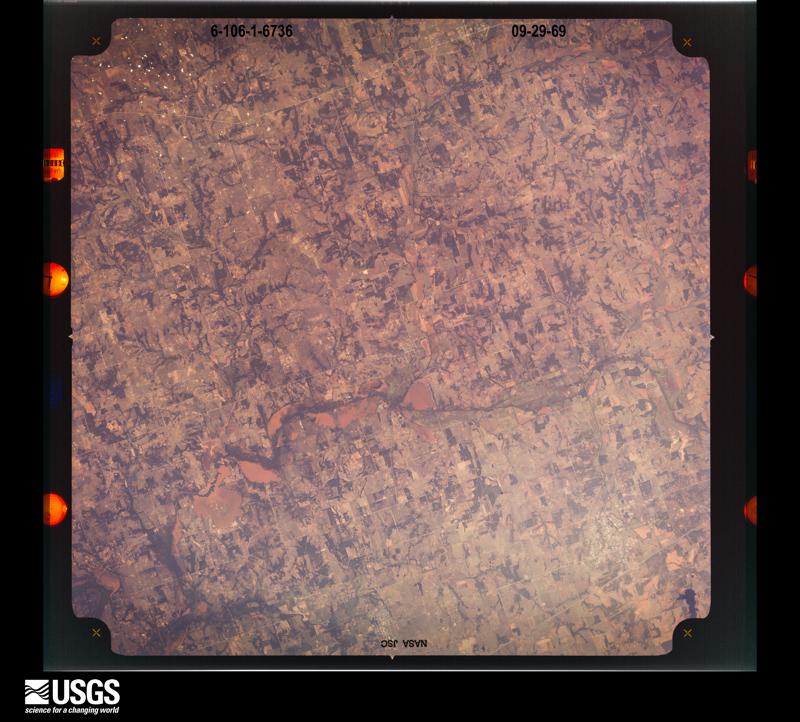
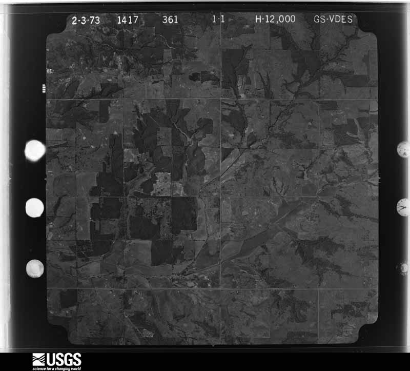
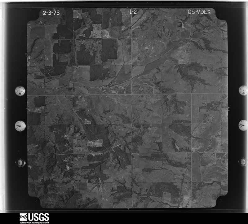
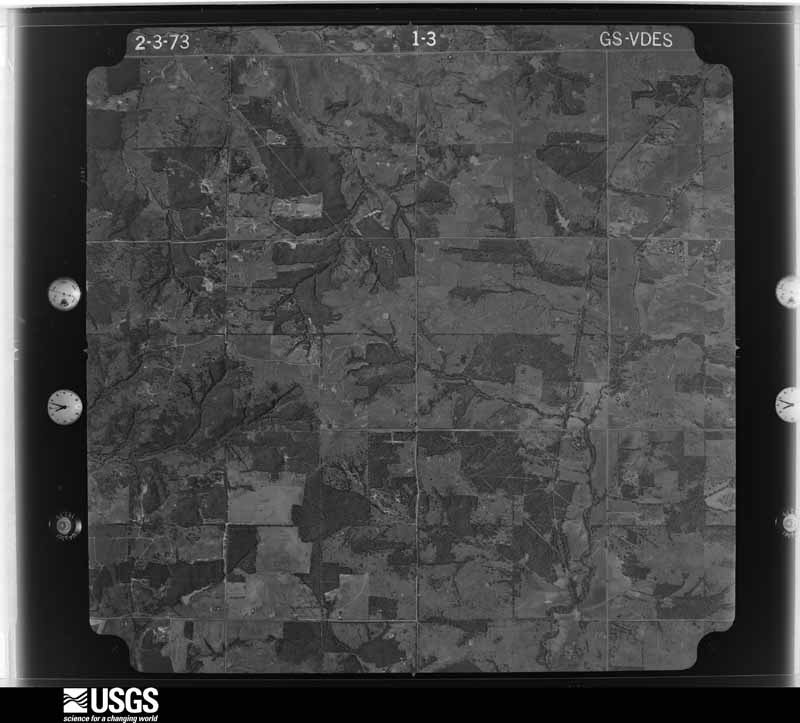
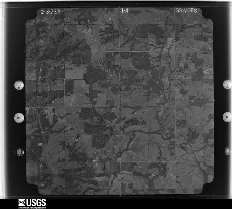
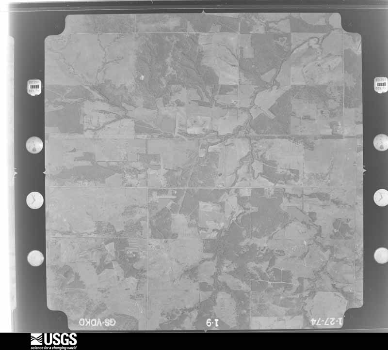
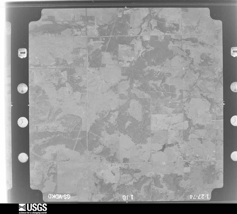
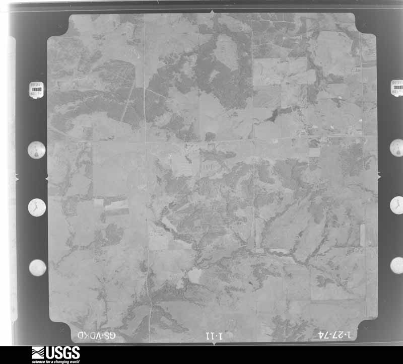
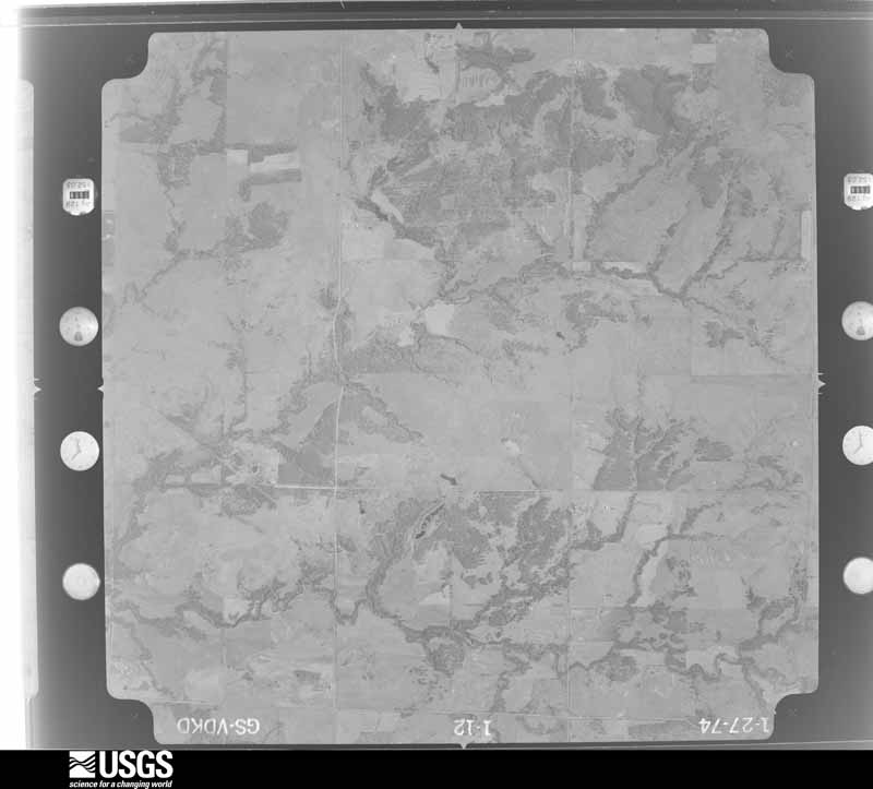
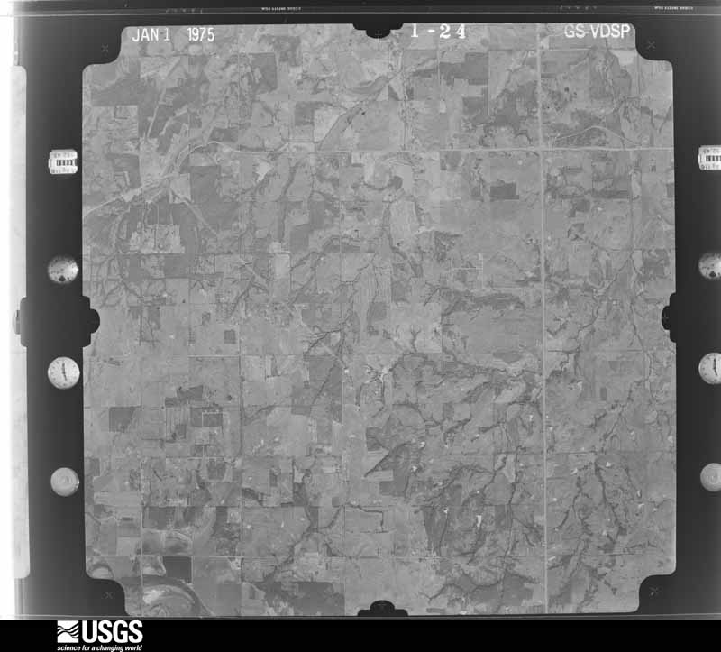
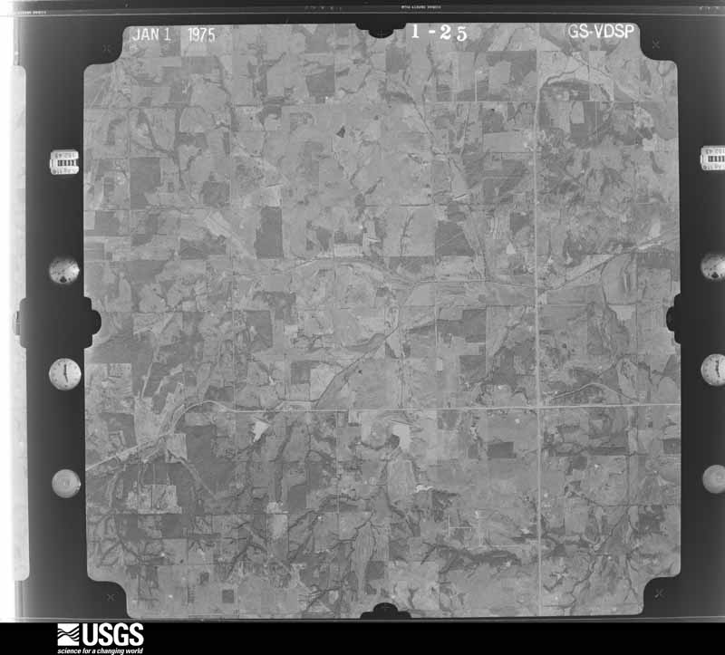
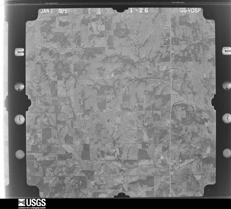
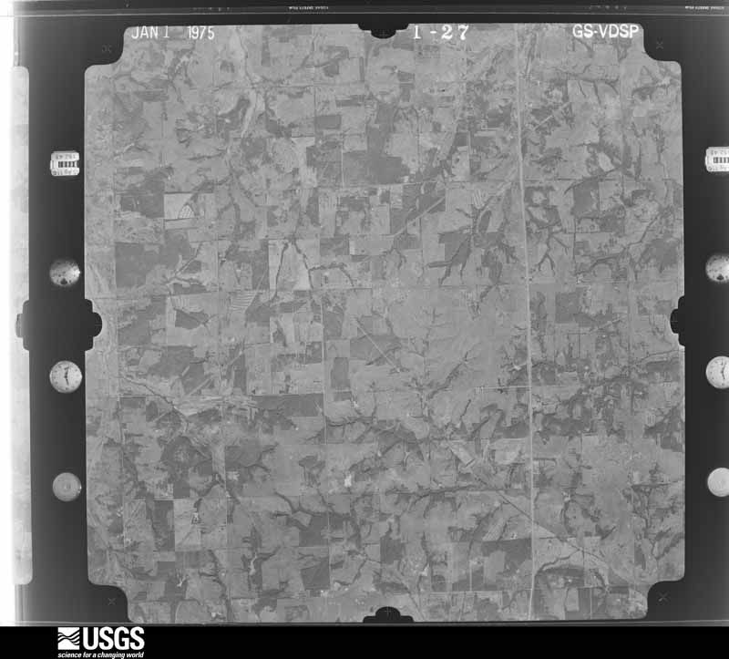
Flown by the U.S. Geological Survey between 1937 and 1989, the Aerial Photo Single Frames collection is the definitive mid-century view of the land: fields, roads and rivers as the camera saw them. The Survey holds 840 frames inside the rectangle that bounds this county; the 24 frames below were taken over the county itself, chosen across the decades of flights (at most four a year from that rectangle), so one flight cannot crowd out the rest. The full set is free to browse and download at EarthExplorer under the dataset Aerial Photo Single Frames.
The thermometers that kept this county's weather, and the gages that measured the flow of its streams, as the federal records hold them. The extremes below are measured values from those records, not estimates.
Who lived here in 1950, one enumeration district at a time, as the Census Bureau described each district. Each row opens its official National Archives result, with Population Schedules and ED Maps available there.
Every wildfire the federal occurrence database records inside this county: 62 of them, burning about 18,132 acres. None started naturally and 7 were recorded as arson. Each settlement page carries the fires within five miles of it.
| Reported cause | Fires |
|---|---|
| Missing data/not specified/undetermined | 29 |
| Arson/incendiarism | 7 |
| Debris and open burning | 7 |
| Equipment and vehicle use | 6 |
| Other causes | 4 |
| Fireworks | 4 |
| Misuse of fire by a minor | 2 |
| Recreation and ceremony | 2 |
| Power generation/transmission/distribution | 1 |
The five largest, by the area the report gives. None of them was recorded as arson.
| Date | Cause | Size | Reported by | Name on the report |
|---|---|---|---|---|
| 4 August 2012 | Missing data/not specified/undetermined | 6,580 acres | Pawnee Agency | CUSHING |
| 1 March 2006 | Missing data/not specified/undetermined | 6,400 acres | Oklahoma Division of Forestry | CHANDLER |
| 5 March 2016 | Missing data/not specified/undetermined | 890 acres | Oklahoma Division of Forestry | HILL |
| 19 September 2000 | Missing data/not specified/undetermined | 800 acres | Eastern Oklahoma Regional Office | CROMWELL |
| 9 April 2009 | Missing data/not specified/undetermined | 750 acres | Oklahoma Division of Forestry | WELLSTON |
| 15 February 2014 | Missing data/not specified/undetermined | 650 acres | Oklahoma Division of Forestry | FOBB BOTTOM FIRE |
| 5 January 2006 | Missing data/not specified/undetermined | 550 acres | Oklahoma Division of Forestry | SPARKS |
| 15 January 2006 | Missing data/not specified/undetermined | 450 acres | Pawnee Agency | PADEN |
Every settlement page carries the fires within five miles of it - see the settlement index below.
The NOAA Storm Events Database holds 816 reports for this county, causing 3 deaths, 143 injuries and about $116,060,740 in recorded property damage. Each settlement page carries the reports that name it.
| Kind of event | Reports |
|---|---|
| Hail | 442 |
| Thunderstorm Wind | 240 |
| Tornado | 95 |
| Flash Flood | 25 |
| Lightning | 8 |
| Flood | 6 |
The most serious of them, by death, then injury, then recorded damage. The accounts are quoted exactly as the forecast office filed them.
| When | Event | Place named | Harm | What the report says |
|---|---|---|---|---|
| May 2016 | Flash Flood | Stroud | 1 killed, 2 hurt, $100,000 | Media and law enforcement reported significant flash flooding in and around Stroud. The turnpike was also closed due to high water and a bad vehicular accident. Over 6 feet of water was reported covering Route 66 in some places. Several water rescues were reported. One person was also killed in their vehicle between Stroud and Davenport due to high water. Two others were hospitalized. |
| April 2025 | Flash Flood | Prague | 1 killed, $50,000 | Roadway flooding at the intersection of County Roads 3513 and 1020 due to water rise from Robinson Creek. An elderly woman drowned when her vehicle was swept off the road during the early afternoon. Event time is approximate, and residual flooding may have continued past the end time of this event. |
| May 2019 | Flood | Warwick | 1 killed, $10,000 | A woman drove around barricades and the car stalled on the highway. Emergency workers took her to a Stillwater hospital where she later died. |
| May 1954 | Tornado (F4) | not stated | 65 hurt, $2,500,000 | no account filed |
| April 1956 | Tornado (F3) | not stated | 30 hurt, $2,500,000 | no account filed |
| May 1999 | Tornado (F3) | Sparks | 13 hurt, $60,000,000 | Tornado D4 (Lincoln County portion). See summary at end of May 3rd storm reports. |
| June 1974 | Tornado (F3) | not stated | 8 hurt, $2,500,000 | no account filed |
| October 1998 | Tornado (F1) | Prague | 6 hurt, $50,000 | no account filed |
| October 1970 | Tornado (F4) | not stated | 4 hurt, $25,000,000 | no account filed |
| May 2013 | Tornado (EF3) | Fallis | 4 hurt | The large tornado continued to move northeast from Logan County into Lincoln County. The tornado passed just southeast of Fallis and then clipped the southeastern portion of Carney. It produced EF3 damage to a number of homes from just south of Carney into the southeast portion of the town. The tornado finally dissipated about 3 miles southeast of Tryon. Motions observed visually in this tornado suggest that the tornado was likely stronger then EF3 in western Lincoln County, but no damage indicators were available that would have supplied a rating higher than EF3 in this area. |
| May 1985 | Tornado (F1) | not stated | 3 hurt, $250,000 | no account filed |
| June 1975 | Tornado (F2) | not stated | 3 hurt, $25,000 | no account filed |
| September 1989 | Thunderstorm Wind | not stated | 3 hurt | no account filed |
| May 1980 | Tornado (F2) | not stated | 1 hurt, $250,000 | no account filed |
| September 2023 | Thunderstorm Wind | Jacktown | 1 hurt, $15,000 | Travel trailer rolled into the front of a mobile home. One occupant of the mobile home sustained minor injuries as the corner of the travel trailer crushed the front door inward. Time is radar estimated. |
| August 1994 | Thunderstorm Wind | Prague | $5,000,000 | no account filed |
| April 1974 | Tornado (F3) | not stated | $2,500,000 | no account filed |
| April 1956 | Tornado (F3) | not stated | $2,500,000 | no account filed |
| April 1956 | Tornado (F3) | not stated | $2,500,000 | no account filed |
| May 1954 | Tornado (F4) | not stated | $2,500,000 | no account filed |
| June 2010 | Flash Flood | Chandler | $600,000 | Several inches of rain accumulated over just a few hours. At least 15 bridges were impacted by the flood waters, and some of them collapsed or were washed out. Numerous roadways had to be closed due to high water flowing over top of them. Monetary damages were estimated. |
| May 2003 | Tornado (F1) | Davenport | $500,000 | This tornado began just south-southwest of Davenport and moved northeast through southeastern portions of town. The tornado continued northeast entering the Stroud city limits southwest of downtown before dissipating within town, east of downtown. The tornado began northwest of the intersection of Santa Fe Avenue and EW091 Road. Shortly after touching down, the tornado peeled the southwest side of a barn roof. The tornado entered the Davenport city limits causing minor tree damage. A metal roof was slightly peeled just north of the intersection of Broadway and Frisco Street. The tornado continued across southern and eastern portions of town downing tree limbs and breaking a few windows. On the east edge of Davenport, the left field light standards of the baseball field were blown over and a referee box behind home plate had blown north-northwestward about 30 feet and broken apart. The right field light standards appeared intact. The only notable damage in town was on the eastern edge (to the southwest of the baseball field) where a sturdy wood-frame car port was apparently lifted and then collapsed on the owner's SUV. Minor damage to shingles and siding continued as the tornado moved northeast towards Stroud.The first area of damage of note within Stroud occurred north of West Elm Street approximately 0.4 miles west of Highway 377. Numerous tree limbs and small decorative trees were downed along with sections of privacy fences blown over and shingle damage to several homes. As the tornado continued northeast, one of two areas of F1 damage was found near the center of town. A home just southwest of the corner of South 9th Avenue and West Oak Street had a missing roof. The home sustained the heaviest roof damage in the southwest corner where all ceiling joists were missing. The ceiling/roof section was found upside down about 100 feet northeast of the house with the ceiling fan still attached but badly damaged. The east half of the small house still had a ceiling. A car port on the north side of the house was still attached but showed cracks indicating it may have shifted. A small home behind this house had a portion of its roof and siding peeled off. Other nearby damage occurred just west of Highway 377, halfway between West Joe Street and West Hillcrest Street. An engineered metal storage building had the southeast corner of roof and east wall blown out with the south wall caved in.The other area of F1 damage began along the railroad tracks on North First Street just east of South 4th Avenue where an open metal storage structure collapsed. More damage was noted at a building behind the fire station (located just north of the railroad tracks and just east of North 3rd Avenue). The south-facing cinder block wall of this building fell outward. About half of the roofing material, including tar paper, was missing from this roof. Vehicle windows were also broken in this location.The remainder of damage in town was light, typified by shingles missing, large tree limbs downed, garage doors damaged, windows broken, and fences downed. The track appeared to end somewhat abruptly at the east edge of town, where a food storage facility and another industrial building did not appear to have much damage.In Stroud seventy homes were damaged with six rendered uninhabitable. Nine businesses were also damaged. |
| October 1998 | Flash Flood | Countywide | $500,000 | no account filed |
| June 1995 | Hail | Agra | $500,000 | no account filed |
| June 1995 | Tornado (F1) | Kendrick | $500,000 | no account filed |
| June 1995 | Tornado (F2) | Stroud | $500,000 | no account filed |
| March 1993 | Tornado (F1) | Prague to | $500,000 | no account filed |
| November 2024 | Tornado (EF1) | Jacktown | $300,000 | The Harrah Tornado which initially developed in southeast Oklahoma City and moved through Harrah in Oklahoma County moved into Lincoln County north of NE 63rd Street. The tornado continued to move northeast eventually moving through the western portion of Warwick and dissipating just north of Warwick north of Interstate 44. At least one mobile home was destroyed and a few others significantly damaged. A few homes suffered roof damage, and numerous trees and power poles were damaged along the path in Lincoln County. |
| August 2006 | Lightning | Prague | $250,000 | Lightning caused a fire that completely destroyed a home five miles west of Highway 99 on Moccasin Trail Road. No injuries were reported. However, four family pets were lost in the fire. |
| May 2004 | Tornado (F1) | Carney | $250,000 | Rotation track maps from KTLX suggest that this was the first tornado from a new mesocyclone that formed southeast of the one that produced the two tornadoes near Meridian in Logan county. This tornado began 3.5 miles WSW of Carney and tracked generally east along Hamner Park Road for 2.5 miles, ending about a mile SW of Carney. The tornado was described by spotters as being quite large. Eyewitness accounts and damage patterns indicate that it was likely a multiple-vortex tornado, but straight-line winds likely contributed to the damage. Numerous large trees were snapped at the trunk or lost large branches. Several outbuildings and trailers were heavily damaged or destroyed. A 20 foot livestock trailer was rolled about 150 yards to the northeast. Impact marks indicate that the trailer bounced over two barbed-wire fences without damaging the fences. A riding lawn mower also was carried east about 50 yards over two chain-link fences with no significant damage to the fences. There were several permanent homes in the damage path, but all received minimal damage that was limited mostly to shingles, window frames, and impalement from wind-driven debris. Maximum path width was about 300 yards along Hamner Park Road about 2.5 miles west-southwest of Carney. Damage in this area was rated high-end F1. |
| March 1990 | Tornado (F2) | not stated | $250,000 | no account filed |
| September 1986 | Tornado (F1) | not stated | $250,000 | no account filed |
| April 1983 | Tornado (F2) | not stated | $250,000 | no account filed |
| April 1979 | Tornado (F2) | not stated | $250,000 | no account filed |
| May 1975 | Tornado (F1) | not stated | $250,000 | no account filed |
| June 2004 | Tornado (F1) | Agra | $200,000 | This tornado affected the east side of Agra, near Highway 18, before moving north and dissipating in pasture land north of town. Three homes were damaged with the roof of one home lifted off. Several barns or outbuildings were damaged or destroyed. A double-wide trailer home also sustained roof damage. Many trees were damaged across town. |
| November 2004 | Tornado (F1) | Chandler | $200,000 | Several spotters and media storm chasers observed this tornado near Chandler. Tree damage was reported on Highway 18. A house under construction also sustained some roof damage. |
| June 2004 | Tornado (F1) | Chandler | $150,000 | A tornado touched down near Highway 66 west of Chandler, moved northeast, and lifted near Chandler Lake. This tornado damaged trees and power lines. Several roofs of homes were damaged along with several barns damaged or destroyed. A mobile home was destroyed near Chandler Lake before the tornado lifted. Several horses were injured and a cow and a horse were killed by debris in the tornado. |
| March 2004 | Thunderstorm Wind | Prague | $125,000 | A 30x36 foot sheet metal barn and a 12x24 foot outbuilding were destroyed. A cottonwood tree was also uprooted. At a house nearby, the carport was blown away and two garage windows and south facing windows of the house were broken. The top of a well house was also blown off. The house also sustained some roof damage. Approximately 150 feet of chain link fence was downed. |
| June 1999 | Flash Flood | Chandler | $75,000 | no account filed |
| August 2009 | Thunderstorm Wind | Carney | $70,000 | Significant damage was reported to two mobile homes, approximately four miles west and one mile north of the Highway 177 and 105 interchange. Monetary damages were estimated. |
| June 2019 | Tornado (EF1) | Jacktown | $60,000 | Lincoln County Emergency Management reported a path of damage from a tornado along 108th Street (E0990 Road) from just west of E3310 Road to just east of Fowler Road (N3340). From there, the tornado turned northeast and dissipated northeast of E0980 Road and N3350 Road. A few homes received roof and/or siding damage, barns and other outbuildings were damaged or destroyed and power poles were damaged. |
| October 2018 | Tornado (EF0) | Prague | $60,000 | A tornado touched down briefly on the south side of Prague. The tornado flipped a car over a truck into another truck in a parking lot in Prague. |
| October 1998 | Tornado (F2) | Meeker | $60,000 | no account filed |
| April 2013 | Hail | Prague | $55,000 | The hail fell for several minutes, causing sporadic damage to vehicles and homes. Damages estimated. |
| May 1999 | Tornado (F1) | Meeker | $50,000 | Tornado D3 (Lincoln County portion). See summary at end of May 3rd storm reports. |
| May 1995 | Thunderstorm Wind | Stroud | $50,000 | no account filed |
| October 1998 | Tornado (F2) | Prague | $40,000 | no account filed |
| June 1997 | Lightning | Chandler | $35,000 | Lightning struck and set fire to a garage and a motor home, destroying both. Damage was estimated at $35,000. |
| April 2000 | Flash Flood | Countywide | $33,000 | A corner of the Chuckaho bridge was damaged south of Davenport. Numerous other bridges and roads across the county were flooded as well. Also, a vehicle stalled in high water on Midlothian Rd, while another stalled on Highway 18, 4 miles south of Chandler. |
| April 2024 | Tornado (EF1) | Sparks | $30,000 | Initial damage from this tornado was observed along County Road S3460 between E930 and E940 Roads where a barn was blown over and numerous trees were broken. The tornado moved northeast crossing Route 66 a couple of miles west of Davenport and dissipated near County Road S3510 just north of E850 Road about a mile east of Kendrick. Another barn was heavily damaged south of Kendrick, otherwise the tornado produced primarily tree damage along the path. |
| May 2024 | Thunderstorm Wind | Carney | $25,000 | Social media images showing a large wooden machine shed destroyed. Time is radar estimated. |
| January 2020 | Tornado (EF0) | Prague | $25,000 | A small tornado developed on the west side of Prague, just south of US Highway 62 and about one-half mile west of US Highway 377. The tornado moved northeast across the west and north sides of Prague with the last damage observed just east of US-377 on the north edge of Prague. Surveillance video at the city library near the beginning of the path showed debris with a strong east wind that quickly became a west wind as the tornado passed by. A few homes received roof damage and a few sheds and other outbuildings were destroyed. |
| October 1997 | Lightning | Stroud | $25,000 | Lightning struck a crude oil tank, causing an explosion and blowing the tank off its base. The resulting fire destroyed a nearby small office. |
| May 1987 | Tornado (F1) | not stated | $25,000 | no account filed |
| June 1983 | Tornado (F1) | not stated | $25,000 | no account filed |
| June 1975 | Tornado (F2) | not stated | $25,000 | no account filed |
| June 1974 | Tornado (F2) | not stated | $25,000 | no account filed |
| June 1974 | Tornado (F3) | not stated | $25,000 | no account filed |
| April 1973 | Tornado (F1) | not stated | $25,000 | no account filed |
The Survey's mineral resources record lists 42 workings inside this county. 2 still produce and 40 are closed or unrecorded. Each settlement page carries the workings within five miles of it.
| Commodity | Workings |
|---|---|
| Clay | 11 |
| Sand and Gravel, Construction | 7 |
| Stone, Crushed/Broken | 7 |
| Dolomite | 7 |
| Stone, Crushed/Broken, Sand and Gravel, Construction | 4 |
| Sand and Gravel, Construction, Stone, Crushed/Broken | 4 |
| Copper | 2 |
The least common of them first, because a county's hundredth gravel pit says nothing its first ten did not.
| Where | Site | Commodity | Status | Recorded |
|---|---|---|---|---|
| Arlington East | Copper | Occurrence | 1935 | |
| Martin Prospect | Copper | Past Producer | 1942 | |
| Unknown Gravel Pit | Sand and Gravel, Construction, Stone, Crushed/Broken | Past Producer | ||
| Unknown Sand Pit | Sand and Gravel, Construction, Stone, Crushed/Broken | Past Producer | ||
| Unknown Sandstone Pit | Stone, Crushed/Broken, Sand and Gravel, Construction | Past Producer | ||
| Unknown Sandstone Pit | Stone, Crushed/Broken, Sand and Gravel, Construction | Past Producer | ||
| Unknown Sandstone Pit | Sand and Gravel, Construction, Stone, Crushed/Broken | Past Producer | ||
| Unknown Sandstone Pit | Sand and Gravel, Construction, Stone, Crushed/Broken | Past Producer | ||
| Unknown Sandstone Pit | Stone, Crushed/Broken, Sand and Gravel, Construction | Past Producer | ||
| Unknown Sandstone Pit | Stone, Crushed/Broken, Sand and Gravel, Construction | Past Producer | ||
| Unknown Dolomite Pit | Dolomite | Producer | ||
| Unknown Dolomite Pit | Dolomite | Producer | ||
| Unknown Dolomite Pit | Dolomite | Past Producer | ||
| Unknown Dolomite Pit | Dolomite | Past Producer | ||
| Unknown Dolomite Pit | Dolomite | Past Producer | ||
| Unknown Dolomite Pit | Dolomite | Past Producer | ||
| Unknown Dolomite Pit | Dolomite | Past Producer | ||
| Unknown Gravel Pit | Sand and Gravel, Construction | Past Producer | ||
| Unknown Sand Pit | Sand and Gravel, Construction | Past Producer | ||
| Unknown Sand Pit | Sand and Gravel, Construction | Past Producer | ||
| Unknown Sand Pit | Sand and Gravel, Construction | Past Producer | ||
| Unknown Sand Pit | Sand and Gravel, Construction | Past Producer | ||
| Unknown Sand Pit | Sand and Gravel, Construction | Past Producer | ||
| Unknown Sand Pit | Sand and Gravel, Construction | Past Producer | ||
| Unknown Sandstone Pit | Stone, Crushed/Broken | Past Producer | ||
| Unknown Sandstone Pit | Stone, Crushed/Broken | Past Producer | ||
| Unknown Sandstone Pit | Stone, Crushed/Broken | Past Producer | ||
| Unknown Sandstone Pit | Stone, Crushed/Broken | Past Producer | ||
| Unknown Sandstone Pit | Stone, Crushed/Broken | Past Producer | ||
| Unknown Sandstone Pit | Stone, Crushed/Broken | Past Producer | ||
| Unknown Sandstone Pit | Stone, Crushed/Broken | Past Producer | ||
| Unknown Clay Pit | Clay | Past Producer | ||
| Unknown Shale Pit | Clay | Past Producer | ||
| Unknown Shale Pit | Clay | Past Producer | ||
| Unknown Shale Pit | Clay | Past Producer | ||
| Unknown Shale Pit | Clay | Past Producer | ||
| Unknown Shale Pit | Clay | Past Producer | ||
| Unknown Shale Pit | Clay | Past Producer | ||
| Unknown Shale Pit | Clay | Past Producer | ||
| Unknown Shale Pit | Clay | Past Producer | ||
| Unknown Shale Pit | Clay | Past Producer | ||
| Unknown Shale Pit | Clay | Past Producer |
Named settlements recorded in the Geographic Names Information System, each with the topographic sheets covering it. Villages, hamlets and abandoned places alike. Each is shown with the nearest named watercourse or landform and the survey quadrangle it falls on. The 7 places that were also surveyed for fire insurance come first, with the number of atlases and photographs held for them.
Northwest Lincoln census division · 74824 · Cushing quadrangle
10 sheets, 1908 to 1990
Fire insurance: 2 atlases
Chandler census division · 74834 · Chandler quadrangle
10 sheets, 1905 to 1990
Fire insurance: 8 atlases
Chandler census division · 74026 · On Chuckaho Creek · Davenport quadrangle
10 sheets, 1905 to 1990
Fire insurance: 2 atlases
Meeker census division · 74855 · On Green Creek · Meeker quadrangle
10 sheets, 1905 to 1990
Fire insurance: 2 atlases
Prague census division · 74864 · Prague quadrangle
10 sheets, 1896 to 1985
Fire insurance: 6 atlases
Northeast Lincoln census division · 74079 · On Lilly Creek · Stroud South quadrangle
10 sheets, 1929 to 1990
Fire insurance: 8 atlases
Wellston census division · 74881 · On Captain Creek · Wellston quadrangle
10 sheets, 1909 to 1990
Fire insurance: 6 atlases
Wellston census division · 74881 · On Captain Creek · Wellston quadrangle
10 sheets, 1909 to 1990
Meeker census division · 74851 · On Brush Creek · Luther SE quadrangle
10 sheets, 1909 to 1990
Chandler census division · 74079 · On Fourmile Creek · Kendrick quadrangle
10 sheets, 1908 to 1990
Chandler census division · 74834 · On Kickapoo Creek · Chandler quadrangle
10 sheets, 1905 to 1990
Prague census division · 74079 · Paden quadrangle
10 sheets, 1929 to 1990
No longer a settlement
Northeast Lincoln census division · 74023 · North Village quadrangle
11 sheets, 1931 to 1990
Chandler census division · 74869 · On Hogshooter Creek · Sparks quadrangle
10 sheets, 1905 to 1990
Wellston census division · 74834 · On Spring Creek · Wellston quadrangle
10 sheets, 1909 to 1990
Prague census division · 74864 · On Sand Creek · Arlington quadrangle
10 sheets, 1929 to 1990
The vanished settlements of Lincoln County: the places named above that are no longer on the map.
10 topographic sheets and 8 fire insurance atlases, 1898 to 1939
10 topographic sheets and 8 fire insurance atlases, 1898 to 1931
10 topographic sheets and 6 fire insurance atlases, 1904 to 1931
10 topographic sheets and 6 fire insurance atlases, 1904 to 1930
10 topographic sheets and 2 fire insurance atlases, 1925
10 topographic sheets and 2 fire insurance atlases, 1926