 Block
From the record
6 National Register listings published here, 1 of them a National Historic Landmark.
Sources: the National Register database, National Park Service
56 topographic sheets and 18 fire insurance atlases across 2 places.
6 National Register listings published here, 1 of them a National Historic Landmark.
Sources: the National Register database, National Park Service
Taken for the Office of War Information and the Farm Security Administration, who photographed the country between 1935 and 1944. Works of United States government photographers, with no known restriction on use. Each opens its catalogue record.
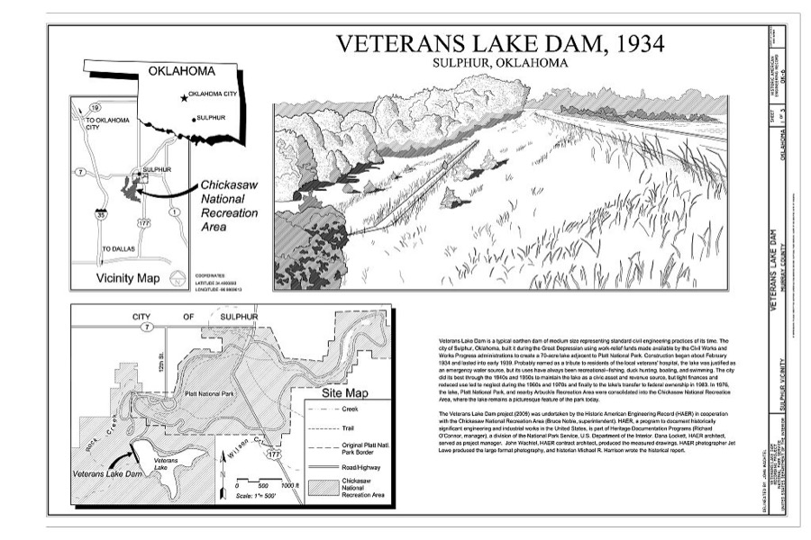
Every property in this county listed on the National Register of Historic Places, with the year it was listed and the federal nomination document.
| Photograph | Property | Type | Listed | Reference |
|---|---|---|---|---|
 | Davis Santa Fe Depot | building | 1994 | 94001507 |
| Historic Downtown Sulphur Commercial District | district | 2001 | 01000662 | |
 | Murray County Courthouse | building | 1984 | 84003352 |
| Platt National Park Historic District | district | 2011 | 11000628 | |
 | Sulphur Armory | building | 1994 | 94000487 |
 | Travertine Nature Center | building | 2011 | 10001180 |
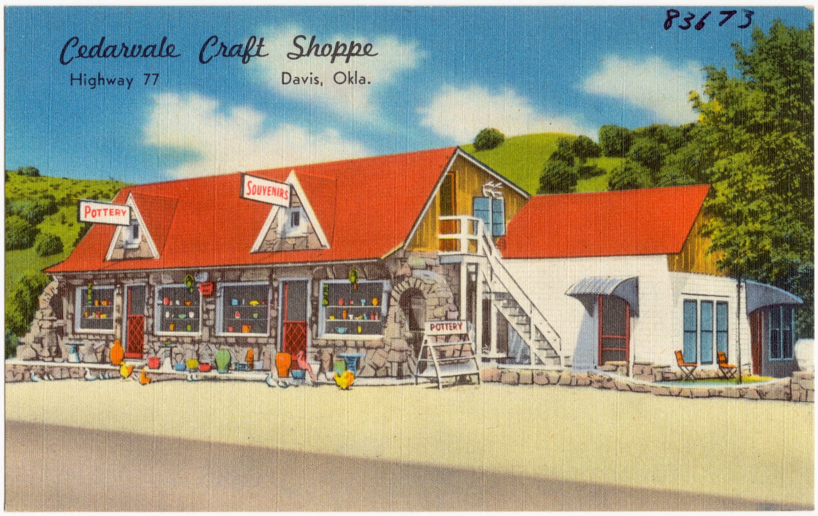
Selected from the Digital Public Library of America's 7 image records catalogued for this county. Every one shown here carries a public-domain status or a licence that permits reuse on a site that carries advertising; non-commercial, share-alike and restricted images are excluded. The selection is spread across the county's towns (at most eight per town), so no single institution's bulk upload crowds out the rest. Each opens the holding library's record, and the complete set at the Digital Public Library of America is one click away.
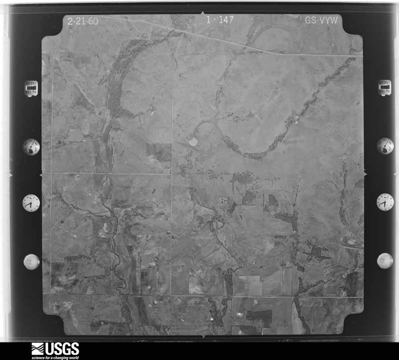
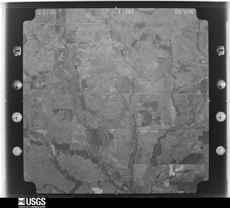
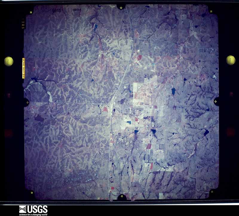
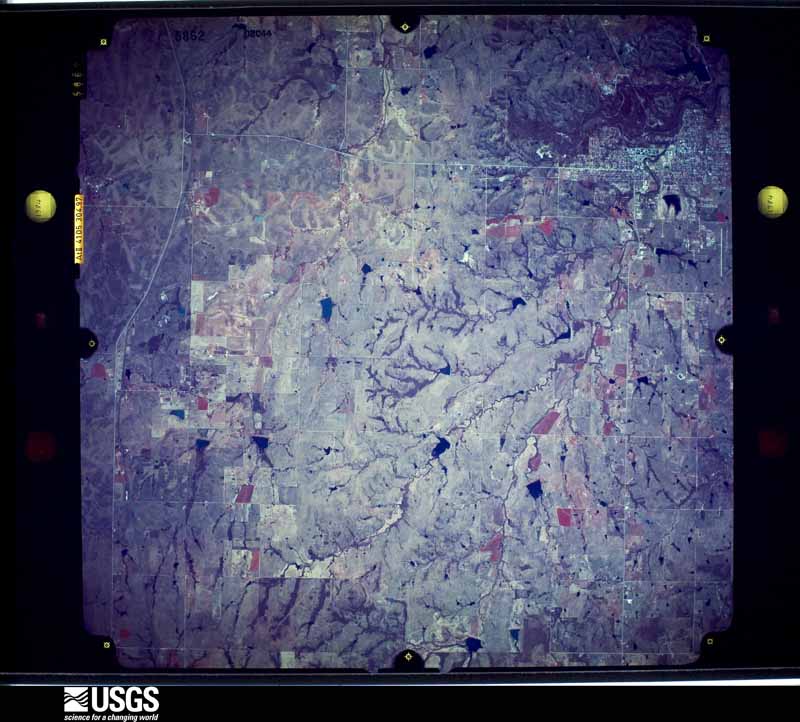
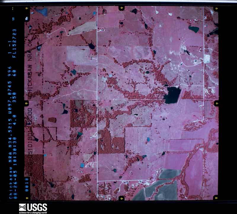
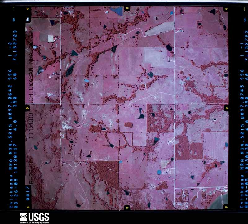
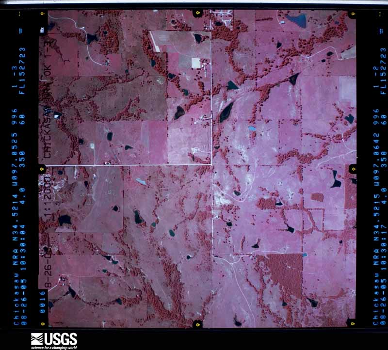
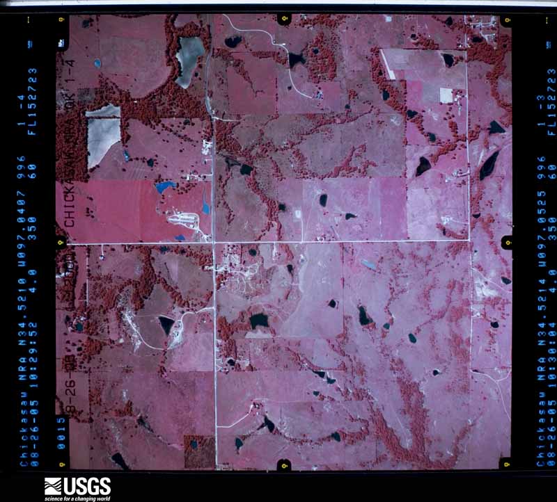
Flown by the U.S. Geological Survey between 1937 and 1989, the Aerial Photo Single Frames collection is the definitive mid-century view of the land: fields, roads and rivers as the camera saw them. The Survey holds 1,850 frames inside the rectangle that bounds this county; the 36 frames below were taken over the county itself, chosen across the decades of flights (at most four a year from that rectangle), so one flight cannot crowd out the rest. The full set is free to browse and download at EarthExplorer under the dataset Aerial Photo Single Frames.




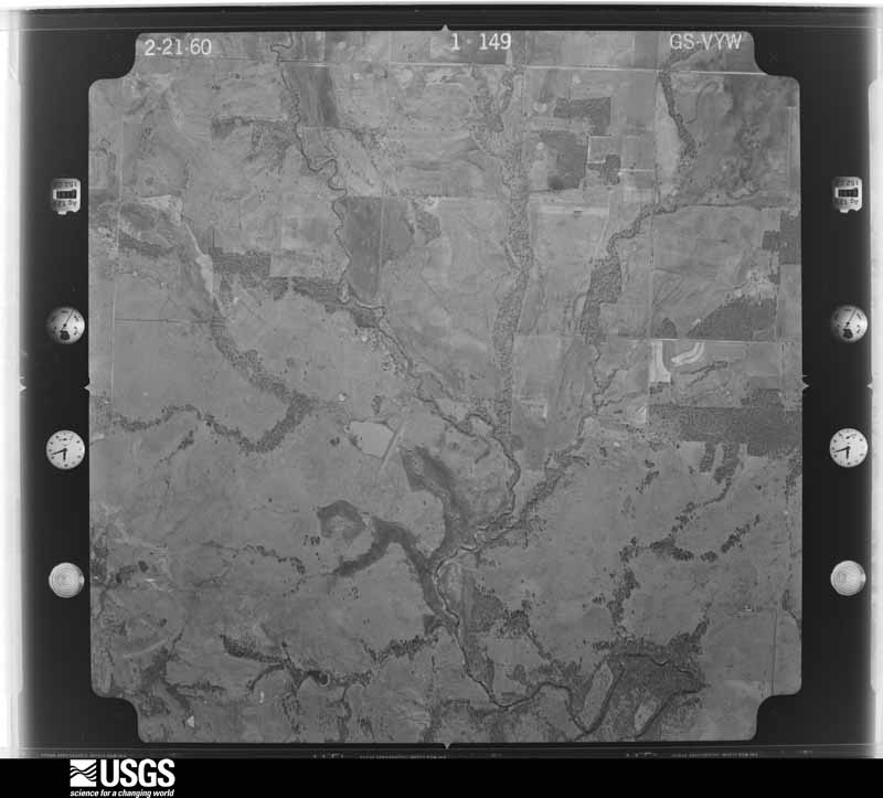


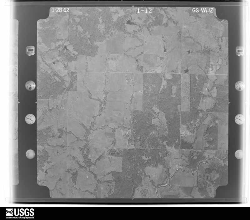


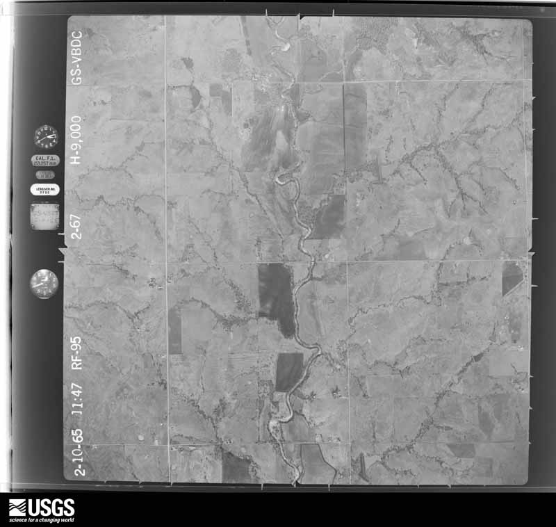


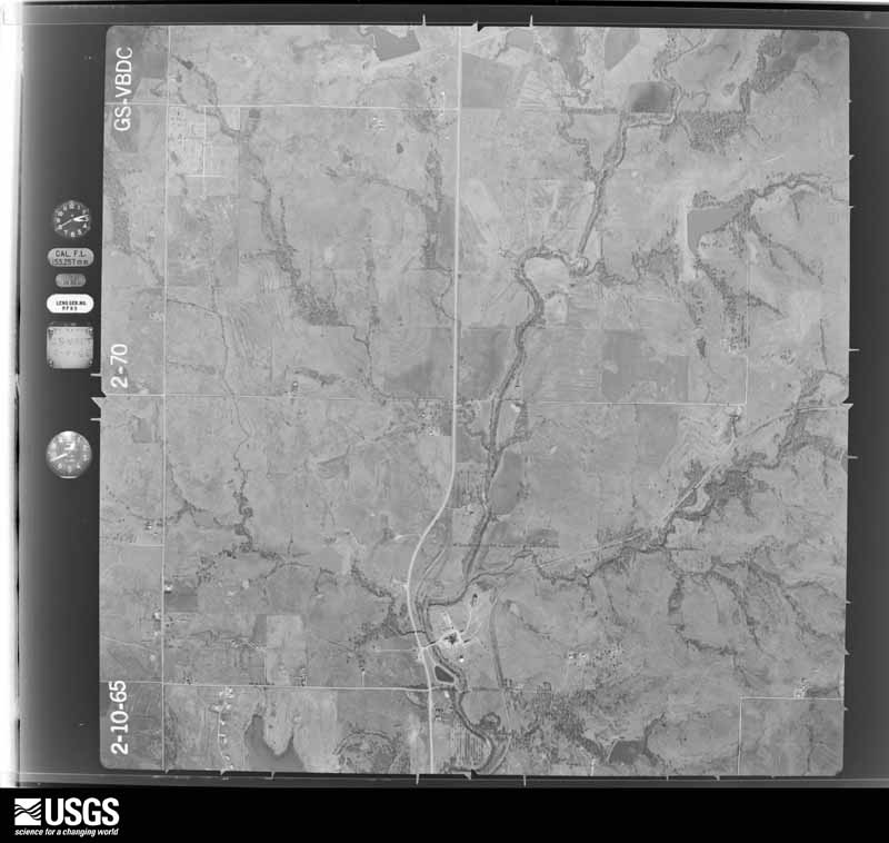
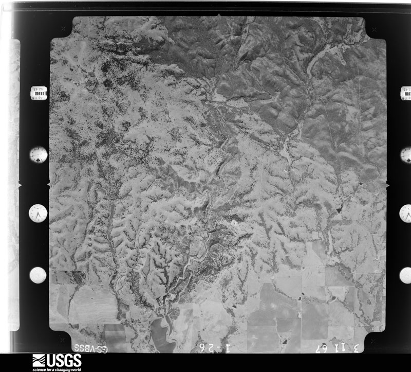
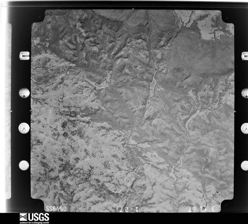
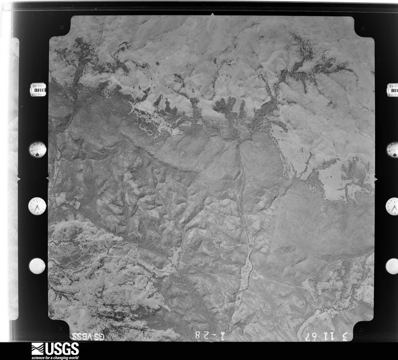
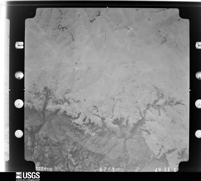










The thermometers that kept this county's weather, and the gages that measured the flow of its streams, as the federal records hold them. The extremes below are measured values from those records, not estimates.
Who lived here in 1950, one enumeration district at a time, as the Census Bureau described each district. Each row opens its official National Archives result, with Population Schedules and ED Maps available there.
Every wildfire the federal occurrence database records inside this county: 174 of them, burning about 45,623 acres. 13 started naturally and 45 were recorded as arson. Each settlement page carries the fires within five miles of it.
| Reported cause | Fires |
|---|---|
| Missing data/not specified/undetermined | 50 |
| Arson/incendiarism | 45 |
| Debris and open burning | 36 |
| Natural | 13 |
| Equipment and vehicle use | 11 |
| Recreation and ceremony | 6 |
| Power generation/transmission/distribution | 6 |
| Smoking | 3 |
| Misuse of fire by a minor | 2 |
| Other causes | 1 |
| Railroad operations and maintenance | 1 |
The five largest, by the area the report gives. One of them was set deliberately.
| Date | Cause | Size | Reported by | Name on the report |
|---|---|---|---|---|
| 15 September 2000 | Missing data/not specified/undetermined | 11,577 acres | Oklahoma Division of Forestry | ARBUCKLE COMPLEX |
| 1 January 2006 | Missing data/not specified/undetermined | 7,000 acres | Oklahoma Division of Forestry | ARBUCKLE FIRE |
| 12 March 2008 | Debris and open burning | 4,500 acres | Chickasaw Agency | ARBUCKLE MOUNTAINS |
| 16 August 2016 | Equipment and vehicle use | 3,360 acres | Chickasaw Agency | GEORGE JOHN |
| 3 March 2009 | Missing data/not specified/undetermined | 3,000 acres | Oklahoma Division of Forestry | HIGHWAY 110 |
| 9 April 2009 | Missing data/not specified/undetermined | 3,000 acres | Chickasaw National Recreation Area | DOLESE |
| 18 January 2018 | Missing data/not specified/undetermined | 2,100 acres | Oklahoma Division of Forestry | SCULLIN |
| 17 August 2006 | Arson/incendiarism | 1,423 acres | Chickasaw Agency | TURNER FALLS #3 |
Every settlement page carries the fires within five miles of it - see the settlement index below.
The NOAA Storm Events Database holds 468 reports for this county, causing 3 deaths, 41 injuries and about $20,061,310 in recorded property damage. Each settlement page carries the reports that name it.
| Kind of event | Reports |
|---|---|
| Hail | 222 |
| Thunderstorm Wind | 139 |
| Flash Flood | 52 |
| Tornado | 46 |
| Lightning | 4 |
| Flood | 4 |
| Wildfire | 1 |
The most serious of them, by death, then injury, then recorded damage. The accounts are quoted exactly as the forecast office filed them.
| When | Event | Place named | Harm | What the report says |
|---|---|---|---|---|
| April 2024 | Tornado (EF3) | Sulphur | 1 killed, 30 hurt, $10,000,000 | The Sulphur tornado initially developed in the Chickasaw National Recreation Area to the southwest of Sulphur and produced tree damage as well as damage to one building in the northeast section of the park as the tornado approached Sulphur. The tornado moved into the southern part of Sulphur causing significant damage to a number of homes on Tishomingo Avenue adjacent to the Chickasaw NRA.||The tornado moved northeast through downtown Sulphur destroying or causing extensive damage to numerous businesses and buildings downtown. Many people were trapped and one woman was killed when a building housing a sports lounge collapsed downtown on this Saturday night. Damage was rated EF3 to numerous buildings downtown, as well as to some homes and buildings in neighborhoods across northeast Sulphur as the tornado continues to move northeast through town.||The tornado continued northeast out of Sulphur and damaged another home along Palmer Road in northeastern Murray County. Tree damage was also observed on the county line as the tornado moved from Murray County into Pontotoc County. |
| April 1957 | Tornado (F2) | not stated | 1 killed, 2 hurt, $250,000 | no account filed |
| July 1955 | Tornado (F1) | not stated | 1 killed, 2 hurt, $25,000 | no account filed |
| December 1953 | Tornado (F1) | not stated | 2 hurt, $2,500 | no account filed |
| April 2025 | Thunderstorm Wind | Sulphur | 1 hurt, $250,000 | Multiple reports and images of extensive thunderstorm wind damage in areas along U.S. Highway 177, approximately seven miles north of Sulphur. This included a mobile home that was blown off its blocks and destroyed, outbuildings significantly damaged, a travel trailer rolled, and numerous trees and large tree limbs blown down. At least one occupant of the destroyed mobile home was injured. Event time is estimated from radar observations. |
| May 1983 | Tornado (F2) | not stated | 1 hurt, $250,000 | no account filed |
| April 1971 | Tornado (F1) | not stated | 1 hurt, $250,000 | no account filed |
| May 2017 | Lightning | Turner Falls | 1 hurt | A man was struck by lightning near Turner Falls. His clothes were blown from his body and he suffered severe burns, temporary paralysis, and hearing loss. |
| September 1998 | Lightning | Sulphur | 1 hurt | A wildfire started by lightning burned 5000 acres. More than 12 fire departments were needed to contain the fire. One man was injured when he burned his hand on an equipment motor. |
| May 2016 | Tornado (EF3) | Joy | $4,000,000 | After the Katie tornado dissipated, the storm produced another tornado that developed just west of US-77 between Wynnewood and Davis. Some tree damage was noted between the Washita River and US-77. The tornado moved about three miles through open land before damaging or destroying numerous houses and other structures along and near Palmer Road and Buel Green Road to the northwest and north of Sulphur. Through this time, the tornado grew to nearly one mile in width. Numerous houses from Meadow road to just east of US-177 received EF3 damage. Near Meadow Road and Burnside Road, cars parked near a destroyed barn were displaced about 280 yards to the east. Preliminary analysis of winds from the Doppler on Wheels mobile research radar provided by the Center for Severe Weather Research indicated approximately 218 mph (+/-) at 17 meters AGL near US-177 N of Buel Green Road, however there were no structures in the immediate vicinity of this wind maximum to give a corresponding damage rating.||The tornado moved east-northeast after crossing US-177 with the path width gradually diminishing. The tornado moved along the Murray-Pontotoc County line affecting both counties for the last three miles before dissipating about 2 miles south-southwest of Roff. The center line of the tornado did move into Pontotoc County approximately three miles southwest of Roff. |
| May 2001 | Thunderstorm Wind | Dougherty | $1,500,000 | Fourteen buildings sustained structural damage, and 2 cars were overturned. Two mobile homes were destroyed. |
| September 2000 | Wildfire | West Portion | $800,000 | no account filed |
| May 1995 | Tornado (F1) | Davis | $500,000 | no account filed |
| May 1995 | Tornado (F1) | Nr Gene Autry | $500,000 | no account filed |
| February 1999 | Thunderstorm Wind | Sulphur | $300,000 | no account filed |
| April 1996 | Tornado (F1) | Sulphur | $280,000 | no account filed |
| April 2024 | Tornado (EF1) | Dougherty | $200,000 | This tornado developed about 1 miles west-southwest of Drake, or about 4.5 miles east of Dougherty. It moved erratically northeast and crossed US Highway 77 about a mile and half north of Drake. Near US-77, it caused roof damage to one home and blew out windows in another. Some metal buildings were also damaged in this area. Otherwise the damage was primarily to trees with some large trees snapped along the path. |
| May 2001 | Thunderstorm Wind | Davis | $200,000 | The roof of City Hall was blown off with rain falling inside the building. Several road signs were blown over, and additional roof damage was reported across the city. |
| March 2004 | Thunderstorm Wind | Davis | $80,000 | A barn roof was blown off. A metal barn was also destroyed along with power lines downed. |
| March 2004 | Thunderstorm Wind | Davis | $65,000 | The city barn and a few lumber barns were destroyed. A light pole was also broken. Several signs were damaged across town. |
| May 1995 | Tornado (F1) | N Sulphur | $50,000 | no account filed |
| March 1999 | Flash Flood | Dougherty | $30,000 | Between 3 and 5 inches of rain fell between 0300 CST and 0600 CST near Dougherty and Turner Falls Park. Four businesses and 2 homes were flooded in Dougherty, and numerous picnic tables were swept down Honey Creek when a dike broke north of Dougherty School. Falls Creek near Turner Falls Park also overflowed its banks, washing away trash dumpsters and park benches. A few cabins were damaged, and several parked cars were moved by swift water. Kay Starr Rd. was also flooded for most of the 12th and 13th. |
| April 2025 | Thunderstorm Wind | Sulphur | $25,000 | A social media image showing a travel trailer overturned. Event time is estimated from radar observations. |
| August 2005 | Flash Flood | Sulphur | $25,000 | At 5:30 am CST and 6:15 am CST, a local fire department reported that floodwaters from Rock Creek entered into a few houses in Sulphur, OK. In addition, flash flooding was reported along Rock Creek in the Chickasaw National Recreation Area just south of Sulphur. |
| September 1999 | Thunderstorm Wind | Davis | $25,000 | no account filed |
| May 1992 | Tornado (F2) | not stated | $25,000 | no account filed |
| October 1979 | Tornado (F2) | not stated | $25,000 | no account filed |
| April 1972 | Tornado (F4) | not stated | $25,000 | no account filed |
| June 1970 | Tornado (F2) | not stated | $25,000 | no account filed |
| November 1958 | Tornado (F2) | not stated | $25,000 | no account filed |
| April 1957 | Tornado (F2) | not stated | $25,000 | no account filed |
| November 1953 | Tornado (F1) | not stated | $25,000 | no account filed |
| April 2016 | Thunderstorm Wind | Davis | $20,000 | The most significant damage occurred to a church in the central part of Davis, but significant scattered tree damage was also noted across town. Additional damage was photographed by a Facebook user, including a trailer and several sheds that were damaged or destroyed. |
| May 2013 | Thunderstorm Wind | Sulphur | $20,000 | One home had significant roof damage. Carport on back of home was also blown away by the winds. |
| July 2000 | Thunderstorm Wind | Sulphur | $20,000 | A turbo-prop airplane was flipped at Sulphur Municipal Airport. |
| May 2009 | Thunderstorm Wind | Davis | $15,000 | Several large tree limbs and power lines were downed due to the wind, causing widespread power outages. Monetary damages were estimated. |
| March 2008 | Hail | Sulphur | $15,000 | The hail cracked the windshields of a few cars. A few homes in town also had cracked windows. Monetary damages were estimated. |
| August 2002 | Thunderstorm Wind | Davis | $15,000 | A trailer home was unroofed, and trees were downed. |
| January 2000 | Lightning | Davis | $15,000 | Lightning struck a house on S. Fourth St. causing a fire that resulted in major damage to the attic and master bedroom. |
| May 2011 | Thunderstorm Wind | Davis | $11,000 | A roof was taken off of a large metal shop building, with overhead doors on the east and west sides. Pieces of the roof landed on Highway 7, with local authorities having to briefly reroute traffic. The building was located near US Highway 7 and State Highway 110. No injuries were reported. Monetary damages were estimated. |
| June 2019 | Thunderstorm Wind | Sulphur | $10,000 | Numerous trees and powerlines down from strong winds to the immediate west of Arbuckle lake. Time based on radar. |
| August 2013 | Thunderstorm Wind | Sulphur | $10,000 | Numerous large tree branches downed along with numerous power outages. |
| March 2013 | Thunderstorm Wind | Sulphur | $10,000 | Windows blown out and power lines down. |
| August 2005 | Flash Flood | Davis | $10,000 | Rainfall totals of 4 to 8+ inches over the Arbuckle Mountains in Murray County in south central Oklahoma during the overnight hours of August 14-15 triggered heavy runoff and flash flooding in Turner Falls Park. The flash flooding washed away beaches at Turner Falls, and eroded the bank near a building just downstream of the waterfall. Some campers were forced to evacuate from the park, while other campers became stranded when a low water crossing across Honey Creek, downstream of Turner Falls and 4 miles south of Davis, OK, became impassible during the morning of August 15.A USGS river gage station located near the low water crossing recorded a significant rise for Honey Creek during the event. The 4-8 inch rainfall totals on August 14-15 produced a flood crest 3.5 feet higher than the low water crossing elevation. Low stages at the site are usually around 1.4 feet, but a crest of 4.9 feet occurred at 4:00 am CST on August 15.The flash flooding deposited brush and debris along the Honey Creek, and 150 tons of sand were delivered to the area to rebuild washed-away beaches., The City of Davis, which owns the park, was forced to close it for about a week while repairs were made. |
| July 2000 | Thunderstorm Wind | Davis | $10,000 | A tractor-trailer was blown over, while traveling westbound on State Highway 7. |
| September 1998 | Lightning | Sulphur | $9,000 | no account filed |
| September 1999 | Thunderstorm Wind | Davis | $7,000 | no account filed |
| April 2026 | Thunderstorm Wind | Davis | $5,000 | Tree limbs were blown down and fences were damaged. The location is approximate, and the event time is estimated based on radar observations. |
| June 2025 | Thunderstorm Wind | Sulphur | $5,000 | Multiple confirmations of thunderstorm wind damage in and around the community of Sulphur. This included at least one power pole broken and several large tree limbs blown down. The location is approximate, and the event time is estimated from radar observations. |
| August 2025 | Thunderstorm Wind | Sulphur | $5,000 | A power pole and two large trees were blown down near Sulphur Hills Golf Course. The report was relayed through Spotter Network. The location is approximate, and the event time is estimated from radar observations. |
| May 2018 | Thunderstorm Wind | Sulphur | $5,000 | Roof damage was reported. Time estimated based on previous reports. |
| October 2016 | Thunderstorm Wind | Sulphur | $5,000 | Several trees and power lines were downed in Sulphur. |
| August 2010 | Thunderstorm Wind | Davis | $5,000 | Power lines were downed throughout town. Monetary damages were estimated. |
| June 2009 | Thunderstorm Wind | Davis | $5,000 | Six- to seven-inch diameter tree limbs were blown down. Monetary damages were estimated. |
| May 1995 | Thunderstorm Wind | Sulphur | $5,000 | Thunderstorms continued across southern Oklahoma from late in the evening of the 14th through early morning on the 15th. Hail as large as quarters was reported in Velma in Stephens County, and wind speeds up to 58 mph were measured near Walters in Cotton County. Severe thunderstorm winds also shattered a large sign in Altus in Jackson County and removed part of the roof from a restaurant in Sulphur in Murray County. |
| February 1999 | Thunderstorm Wind | Davis | $5,000 | no account filed |
| July 1995 | Thunderstorm Wind | Davis | $5,000 | no account filed |
| May 2003 | Thunderstorm Wind | Sulphur | $4,500 | A sheet metal barn and several small trees were reported destroyed on Highway 7. A power pole was also reported downed a quarter of a mile to the east. |
| February 1999 | Thunderstorm Wind | Sulphur | $4,000 | no account filed |
| May 1974 | Tornado (F1) | not stated | $2,500 | no account filed |
The Survey's mineral resources record lists 68 workings inside this county. 4 still produce and 64 are closed or unrecorded. Each settlement page carries the workings within five miles of it.
| Commodity | Workings |
|---|---|
| Sand and Gravel, Construction | 40 |
| Stone, Crushed/Broken | 27 |
| Clay | 1 |
The least common of them first, because a county's hundredth gravel pit says nothing its first ten did not.
| Where | Site | Commodity | Status | Recorded |
|---|---|---|---|---|
| Unknown Shale Pit | Clay | Past Producer | ||
| Davis Pit and Plant | Stone, Crushed/Broken | Producer | ||
| Dolese Bros Limestone Pit | Stone, Crushed/Broken | Producer | ||
| Sooner Rock & Sand Co Limestone Pit | Stone, Crushed/Broken | Past Producer | ||
| Southern Rock Asphalt Co Limest Pit | Stone, Crushed/Broken | Past Producer | ||
| Unknown Limestone Pit | Stone, Crushed/Broken | Past Producer | ||
| Unknown Limestone Pit | Stone, Crushed/Broken | Past Producer | ||
| Unknown Limestone Pit | Stone, Crushed/Broken | Past Producer | ||
| Unknown Limestone Pit | Stone, Crushed/Broken | Past Producer | ||
| Unknown Limestone Pit | Stone, Crushed/Broken | Past Producer | ||
| Unknown Limestone Pit | Stone, Crushed/Broken | Past Producer | ||
| Unknown Limestone Pit | Stone, Crushed/Broken | Past Producer | ||
| Unknown Limestone Pit | Stone, Crushed/Broken | Past Producer | ||
| Unknown Limestone Pit | Stone, Crushed/Broken | Past Producer | ||
| Unknown Limestone Pit | Stone, Crushed/Broken | Past Producer | ||
| Unknown Limestone Pit | Stone, Crushed/Broken | Past Producer | ||
| Unknown Limestone Pit | Stone, Crushed/Broken | Past Producer | ||
| Unknown Limestone Pit | Stone, Crushed/Broken | Past Producer | ||
| Unknown Limestone Pit | Stone, Crushed/Broken | Past Producer | ||
| Unknown Limestone Pit | Stone, Crushed/Broken | Past Producer | ||
| Unknown Limestone Pit | Stone, Crushed/Broken | Past Producer | ||
| Unknown Limestone Pit | Stone, Crushed/Broken | Past Producer | ||
| Unknown Limestone Pit | Stone, Crushed/Broken | Past Producer | ||
| Unknown Limestone Pit | Stone, Crushed/Broken | Past Producer | ||
| Unknown Limestone Pit | Stone, Crushed/Broken | Past Producer | ||
| Unknown Limestone Pit | Stone, Crushed/Broken | Past Producer | ||
| Unknown Limestone Pit | Stone, Crushed/Broken | Past Producer | ||
| Unknown Sandstone Pit | Stone, Crushed/Broken | Past Producer | ||
| Oklahoma Glass Sand Co Sand Pit | Sand and Gravel, Construction | Past Producer | ||
| Oklahoma Glass Sand Co Sand Pit | Sand and Gravel, Construction | Past Producer | ||
| Unknown Gravel Pit | Sand and Gravel, Construction | Past Producer | ||
| Unknown Gravel Pit | Sand and Gravel, Construction | Past Producer | ||
| Unknown Gravel Pit | Sand and Gravel, Construction | Past Producer | ||
| Unknown Gravel Pit | Sand and Gravel, Construction | Past Producer | ||
| Unknown Gravel Pit | Sand and Gravel, Construction | Past Producer | ||
| Unknown Gravel Pit | Sand and Gravel, Construction | Past Producer | ||
| Unknown Gravel Pit | Sand and Gravel, Construction | Past Producer | ||
| Unknown Gravel Pit | Sand and Gravel, Construction | Past Producer | ||
| Unknown Gravel Pit | Sand and Gravel, Construction | Past Producer | ||
| Unknown Gravel Pit | Sand and Gravel, Construction | Past Producer | ||
| Unknown Gravel Pit | Sand and Gravel, Construction | Past Producer | ||
| Unknown Gravel Pit | Sand and Gravel, Construction | Past Producer | ||
| Unknown Gravel Pit | Sand and Gravel, Construction | Past Producer | ||
| Unknown Gravel Pit | Sand and Gravel, Construction | Past Producer | ||
| Unknown Gravel Pit | Sand and Gravel, Construction | Past Producer | ||
| Unknown Gravel Pit | Sand and Gravel, Construction | Past Producer | ||
| Unknown Gravel Pit | Sand and Gravel, Construction | Past Producer | ||
| Unknown Gravel Pit | Sand and Gravel, Construction | Past Producer | ||
| Unknown Gravel Pit | Sand and Gravel, Construction | Past Producer | ||
| Unknown Gravel Pit | Sand and Gravel, Construction | Past Producer | ||
| Unknown Gravel Pit | Sand and Gravel, Construction | Past Producer | ||
| Unknown Gravel Pit | Sand and Gravel, Construction | Past Producer | ||
| Unknown Gravel Pit | Sand and Gravel, Construction | Past Producer | ||
| Unknown Gravel Pit | Sand and Gravel, Construction | Past Producer | ||
| Unknown Gravel Pit | Sand and Gravel, Construction | Past Producer | ||
| Unknown Gravel Pit | Sand and Gravel, Construction | Past Producer | ||
| Unknown Gravel Pit | Sand and Gravel, Construction | Past Producer | ||
| Unknown Gravel Pit | Sand and Gravel, Construction | Past Producer | ||
| Unknown Gravel Pit | Sand and Gravel, Construction | Past Producer | ||
| Unknown Gravel Pit | Sand and Gravel, Construction | Past Producer | ||
| Unknown Gravel Pit | Sand and Gravel, Construction | Past Producer | ||
| Unknown Gravel Pit | Sand and Gravel, Construction | Producer | ||
| Unknown Gravel Pit | Sand and Gravel, Construction | Past Producer | ||
| Unknown Gravel Pit | Sand and Gravel, Construction | Past Producer | ||
| Unknown Gravel Pit | Sand and Gravel, Construction | Past Producer | ||
| Unknown Sand Pit | Sand and Gravel, Construction | Past Producer | ||
| Unknown Sand Pit | Sand and Gravel, Construction | Past Producer | ||
| Unknown Sand Pit | Sand and Gravel, Construction | Producer |
Named settlements recorded in the Geographic Names Information System, each with the topographic sheets covering it. Villages, hamlets and abandoned places alike. Each is shown with the nearest named watercourse or landform and the survey quadrangle it falls on. The 2 places that were also surveyed for fire insurance come first, with the number of atlases and photographs held for them.
West Murray census division · 73030 · Davis quadrangle
15 sheets, 1898 to 1986
Fire insurance: 11 atlases
East Murray census division · 73086 · On Travertine Creek · Sulphur North quadrangle
13 sheets, 1901 to 1990
Fire insurance: 7 atlases
West Murray census division · 73030 · On Honey Creek · Turner Falls quadrangle
16 sheets, 1901 to 1986
East Murray census division · 73086 · On Board Hollow Creek · Gene Autry quadrangle
17 sheets, 1901 to 1986
West Murray census division · 73032 · On Deel Creek · Dougherty quadrangle
17 sheets, 1901 to 1986
West Murray census division · 73030 · On Falls Creek · Dougherty quadrangle
17 sheets, 1901 to 1986
East Murray census division · 73086 · On East Branch Chigley Sandy Creek · Davis quadrangle
15 sheets, 1898 to 1986
West Murray census division · 73030 · On Lick Creek · Turner Falls quadrangle
16 sheets, 1901 to 1986
West Murray census division · 73098 · On Turkey Sandy Creek · Joy quadrangle
15 sheets, 1898 to 1986
West Murray census division · 73030 · On Falls Creek · Dougherty quadrangle
17 sheets, 1901 to 1986
15 topographic sheets and 11 fire insurance atlases, 1894 to 1939
13 topographic sheets and 7 fire insurance atlases, 1903 to 1944
The complete index, with nothing left out. Each of these is a separate record with its own page: a federal survey report, or the case file that argued a property on to the National Register. Both are public domain and reproduced word for word.