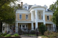
Block
From the record
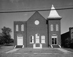
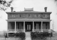
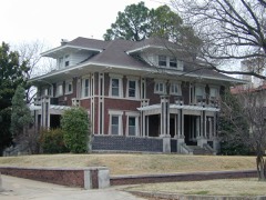
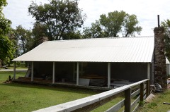
52 National Register listings published here, 1 of them a National Historic Landmark.
Sources: the county history on the Internet Archive · the National Register database, National Park Service
74 topographic sheets and 40 fire insurance atlases across 7 places.
52 National Register listings published here, 1 of them a National Historic Landmark.
Sources: the county history on the Internet Archive · the National Register database, National Park Service
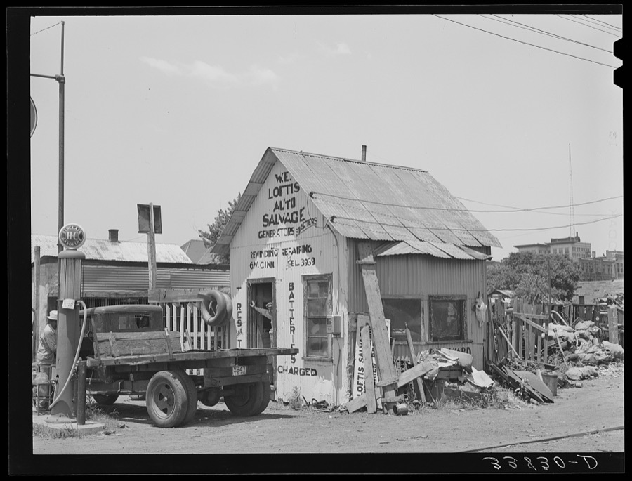
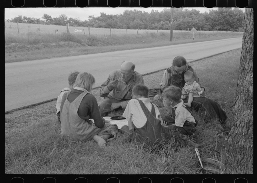
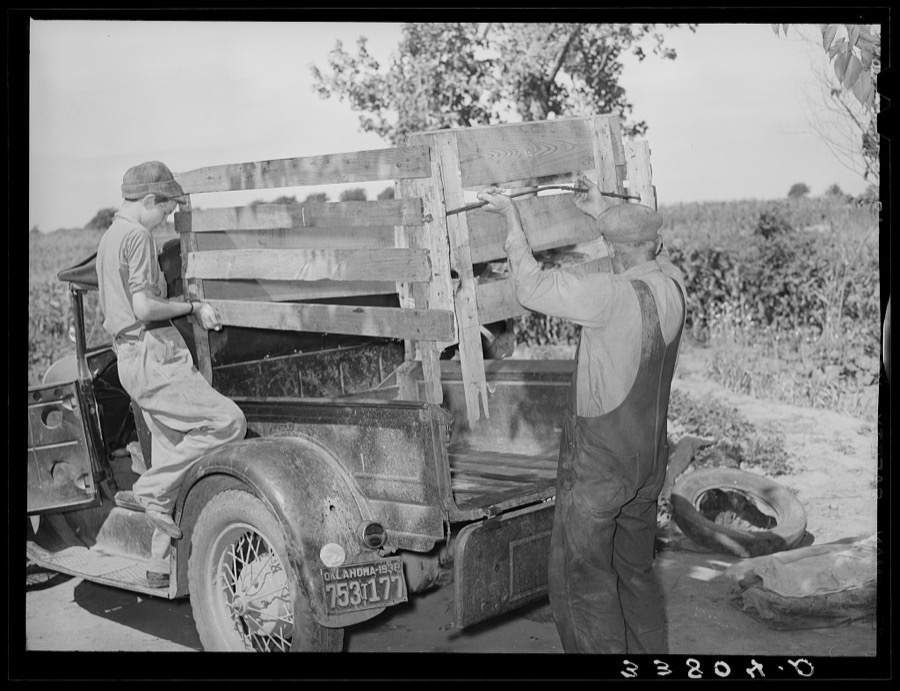
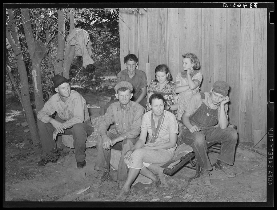
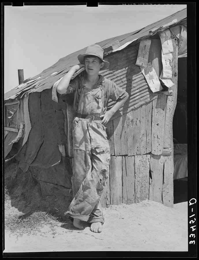
Taken for the Office of War Information and the Farm Security Administration, who photographed the country between 1935 and 1944. Works of United States government photographers, with no known restriction on use. Each opens its catalogue record.

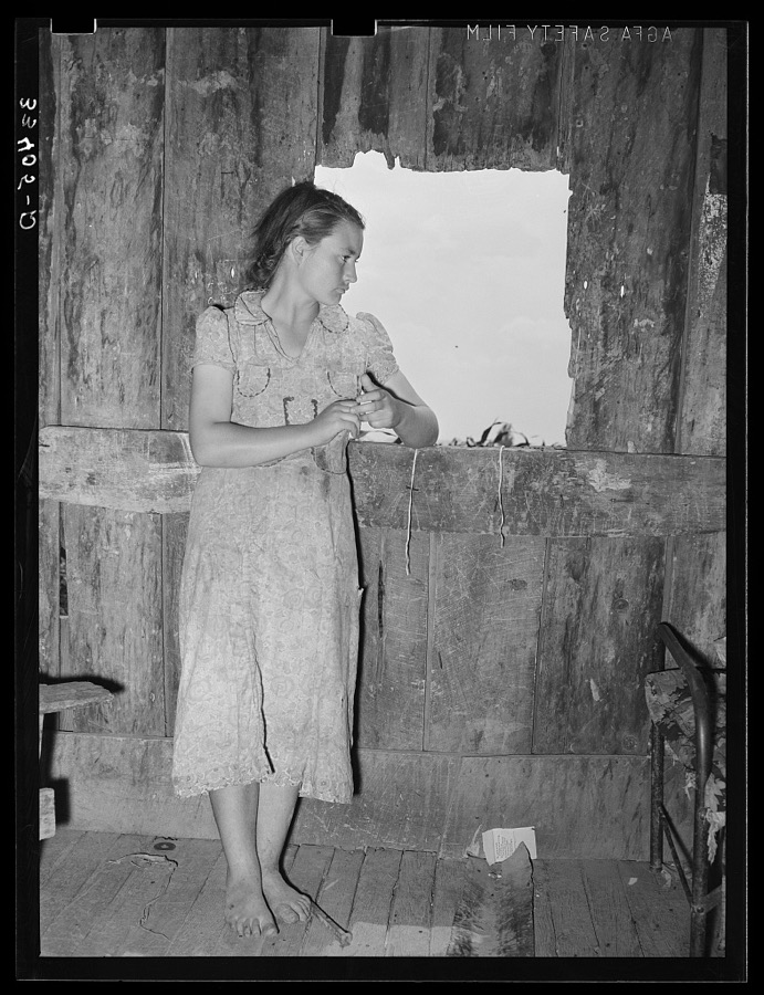
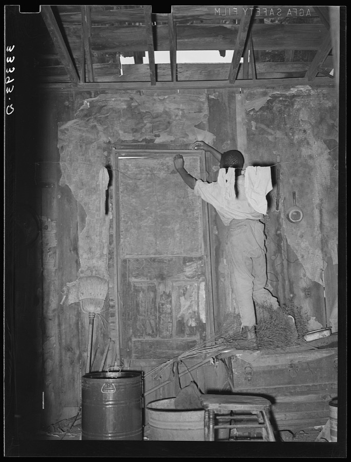


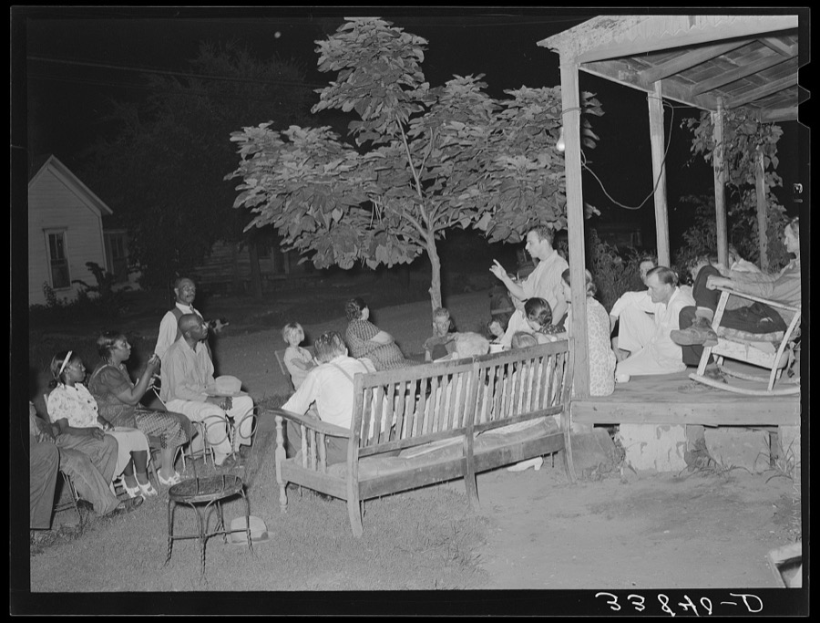


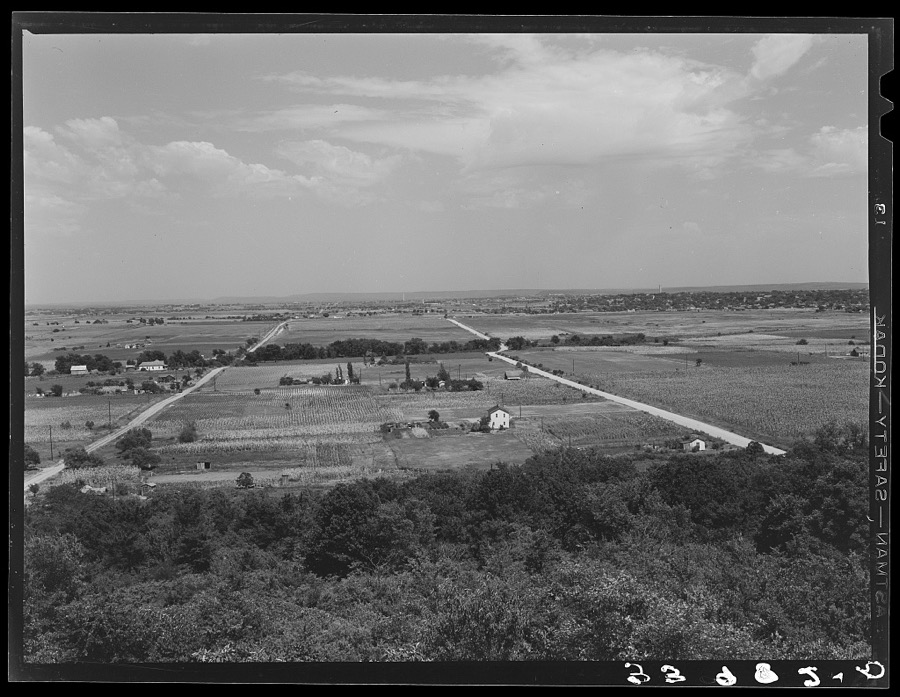
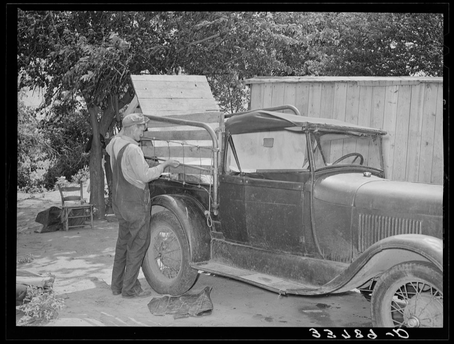
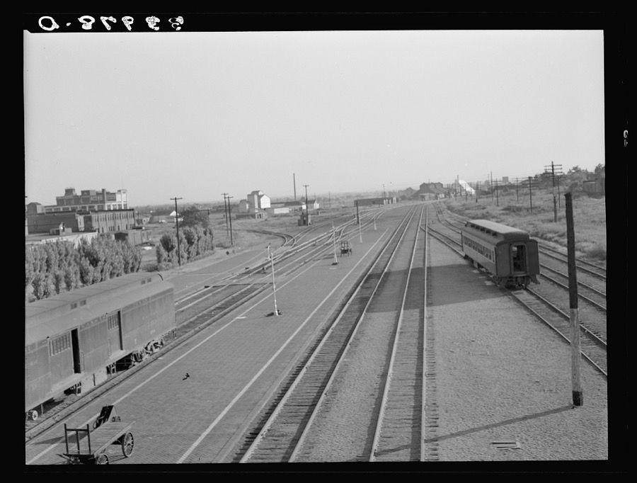
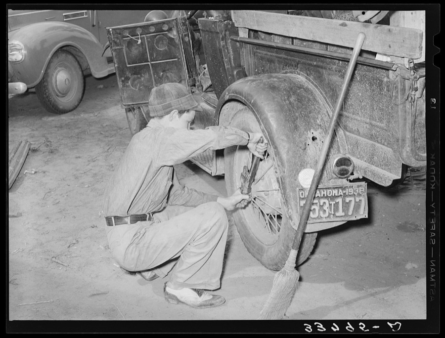

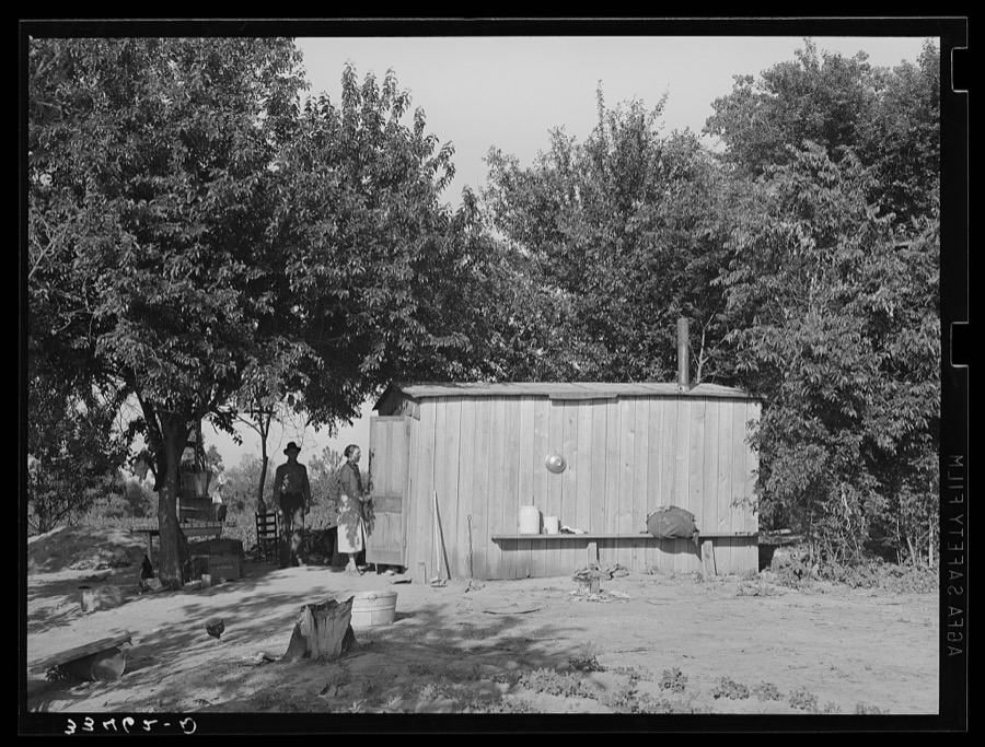

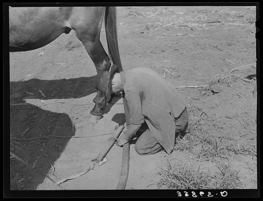
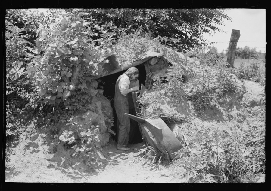

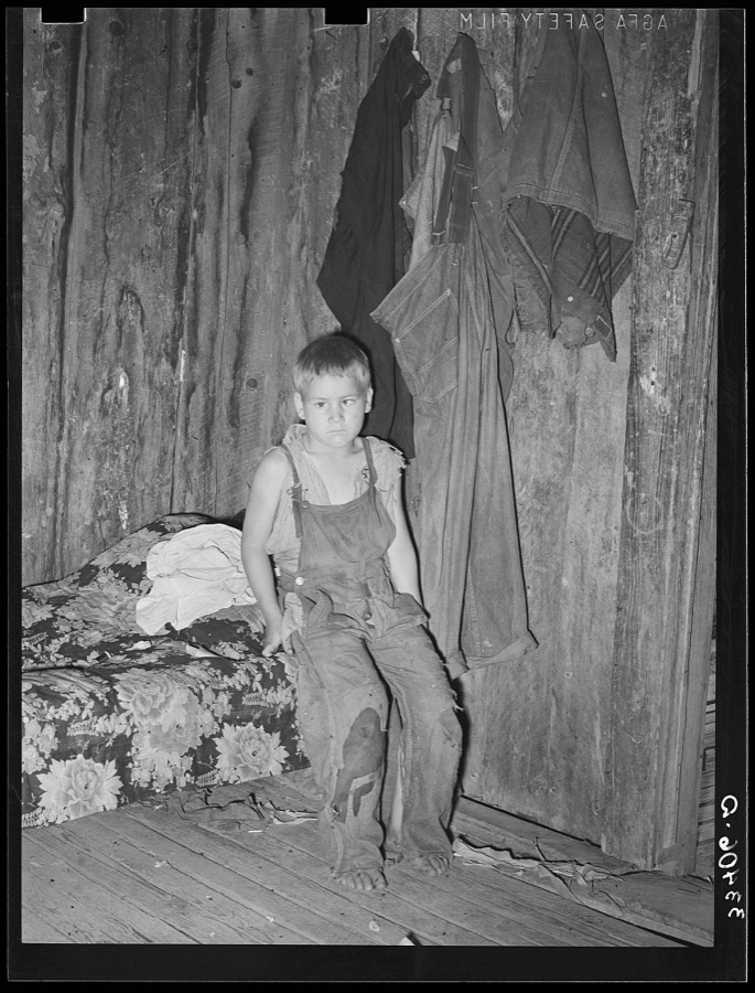
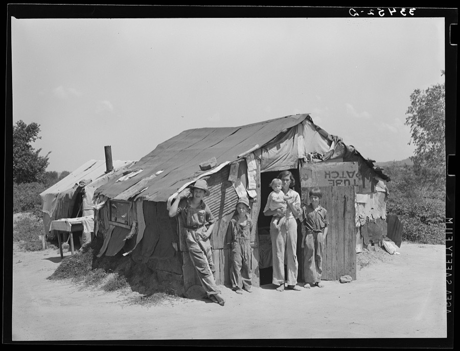
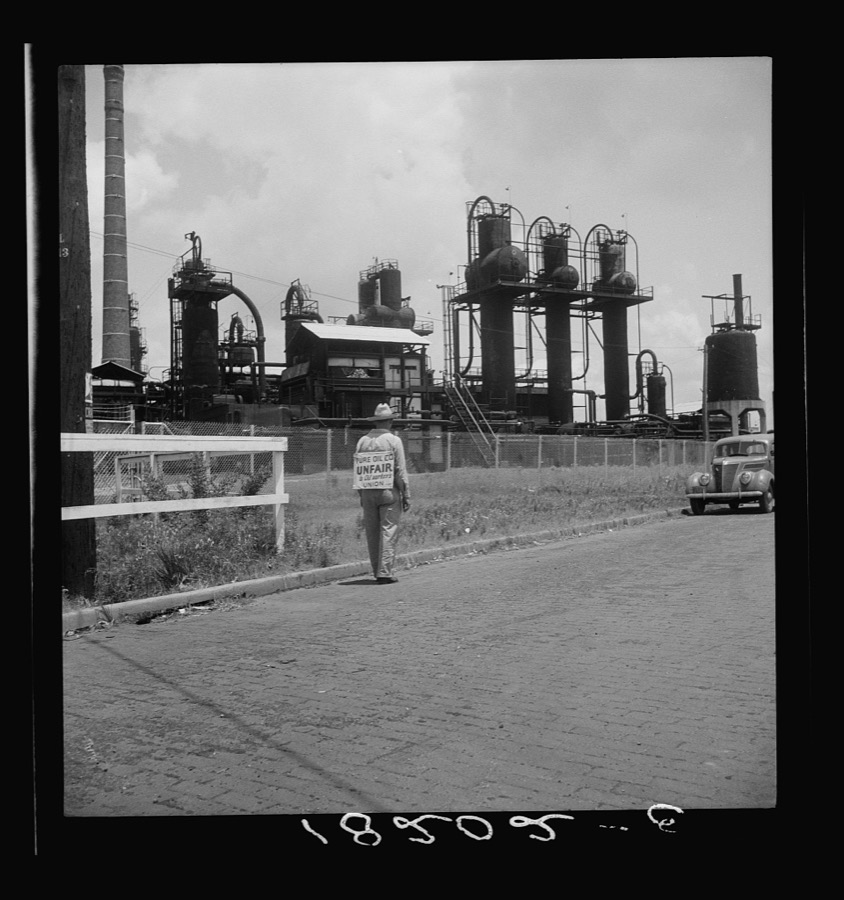

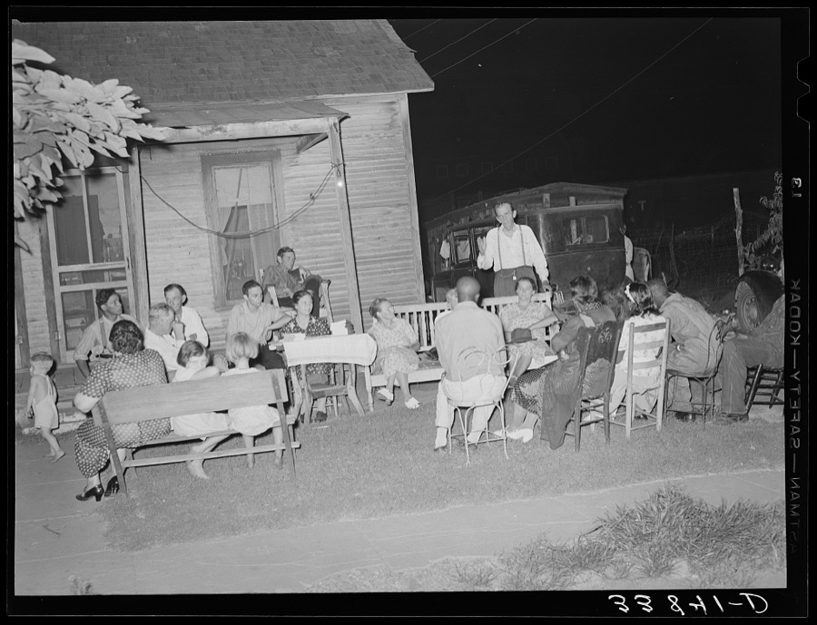
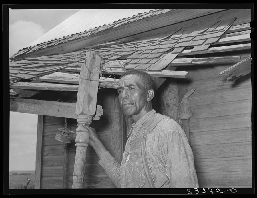
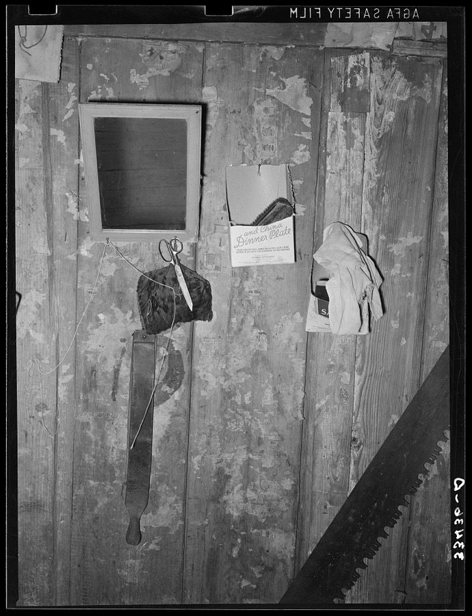

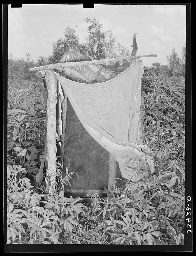

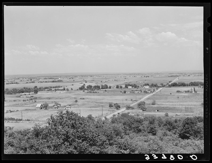


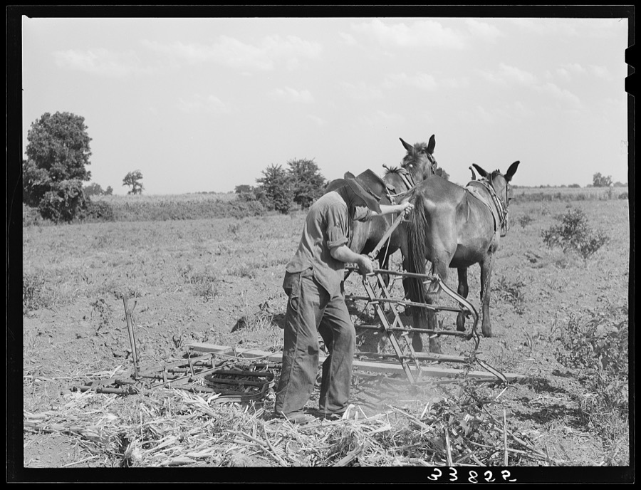
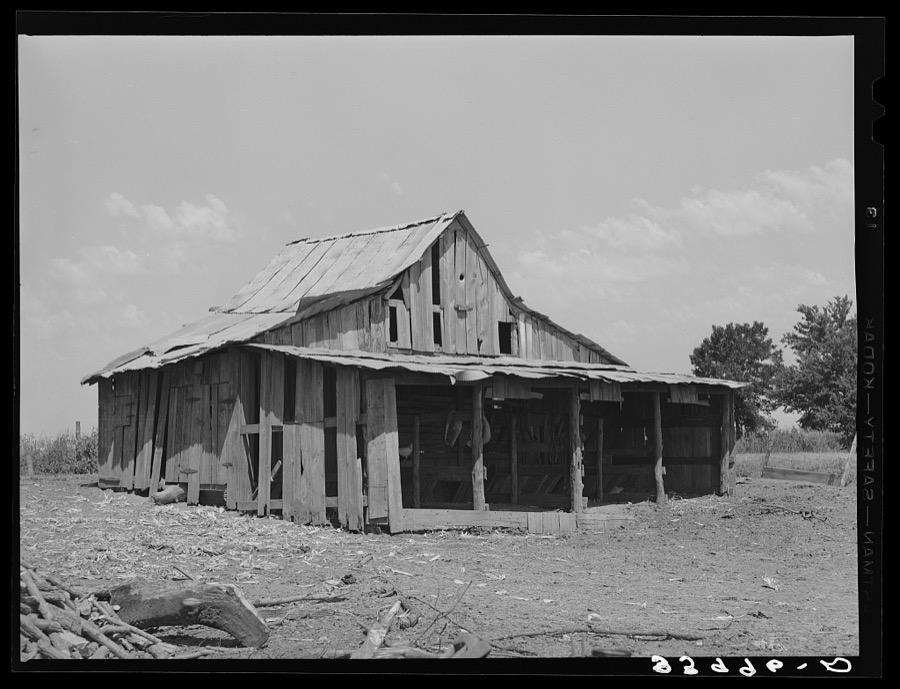


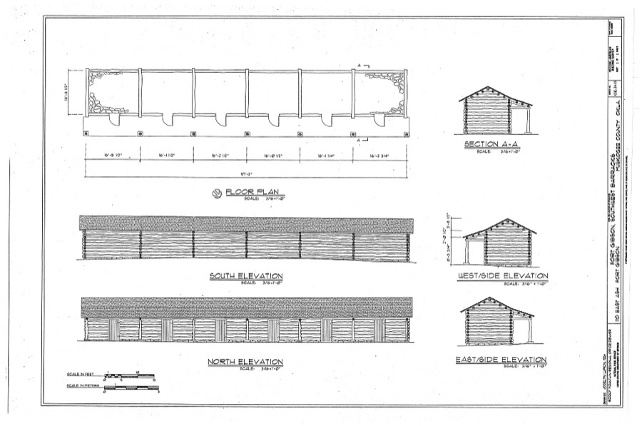
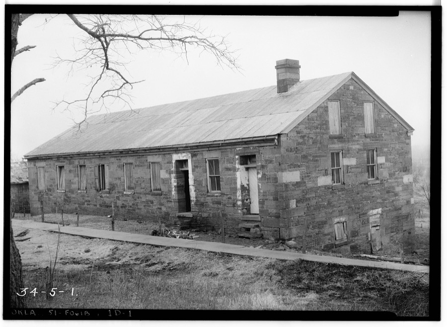
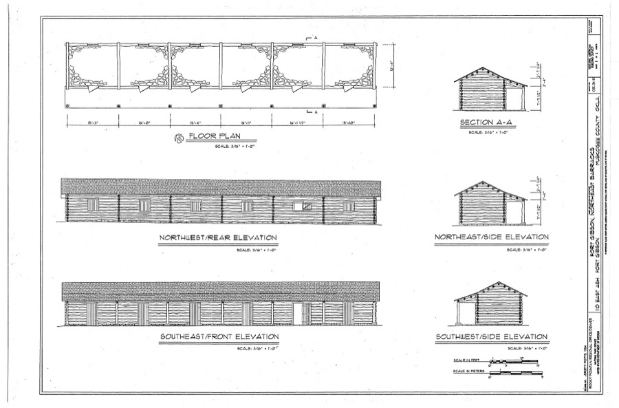
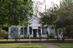
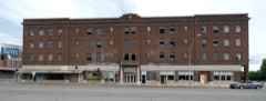
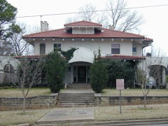
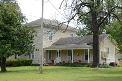
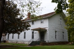
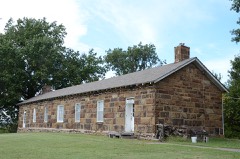
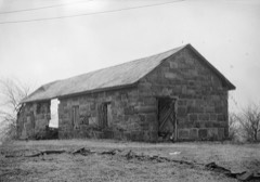
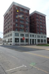
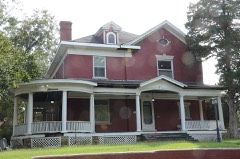
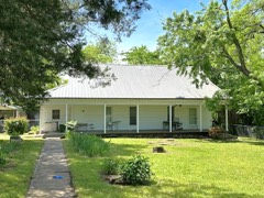
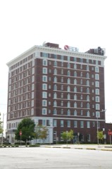
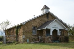
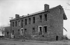
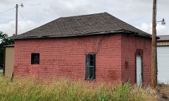
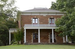
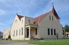
Every property in this county listed on the National Register of Historic Places, with the year it was listed and the federal nomination document.
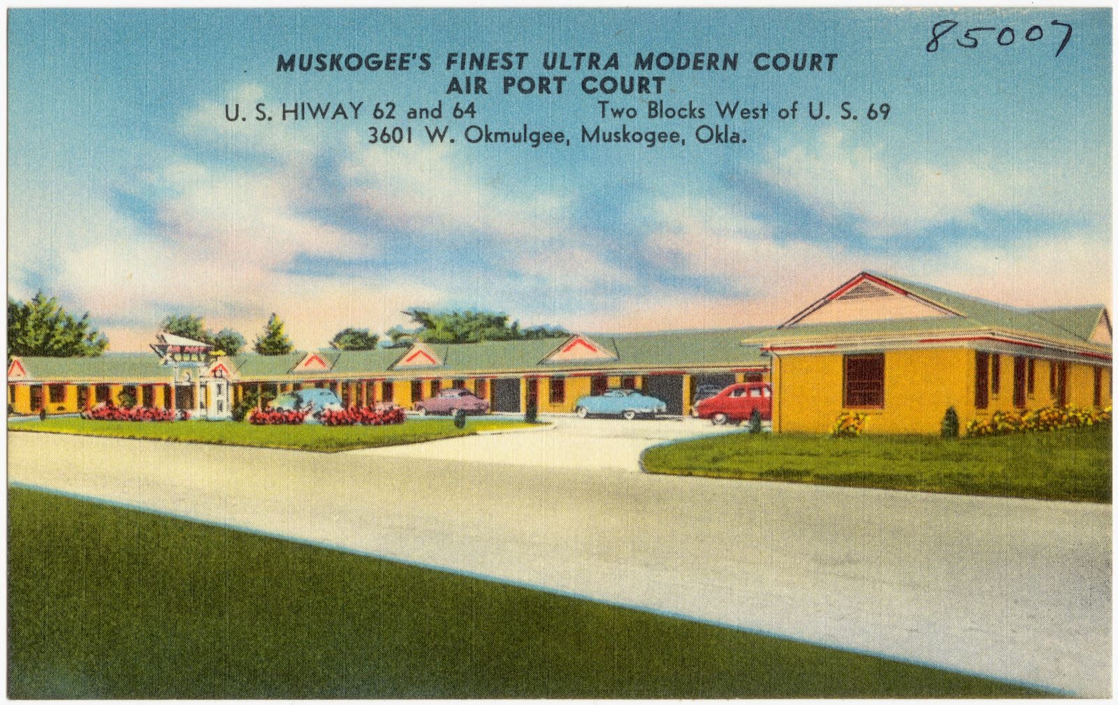
Selected from the Digital Public Library of America's 2 image records catalogued for this county. Every one shown here carries a public-domain status or a licence that permits reuse on a site that carries advertising; non-commercial, share-alike and restricted images are excluded. The selection is spread across the county's towns (at most eight per town), so no single institution's bulk upload crowds out the rest. Each opens the holding library's record, and the complete set at the Digital Public Library of America is one click away.

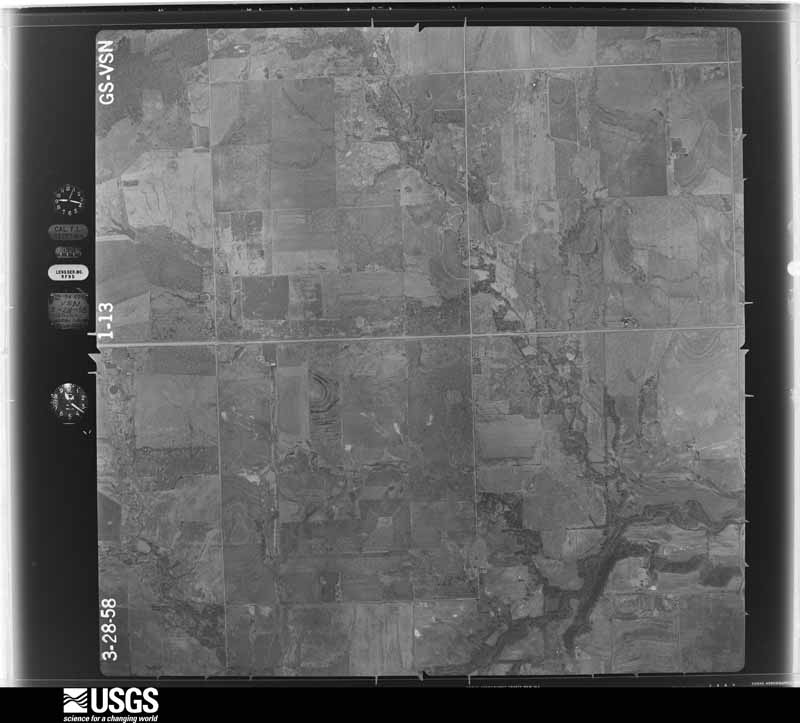
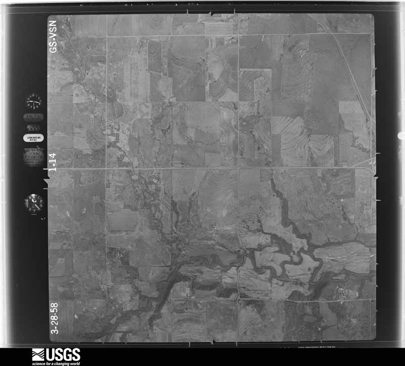
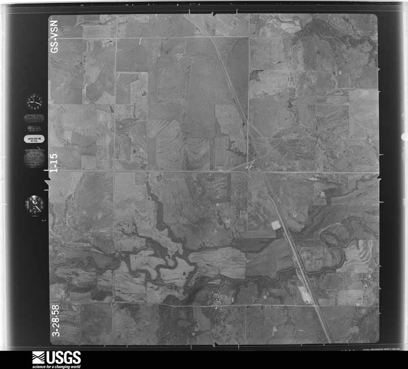
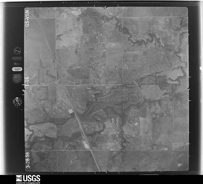
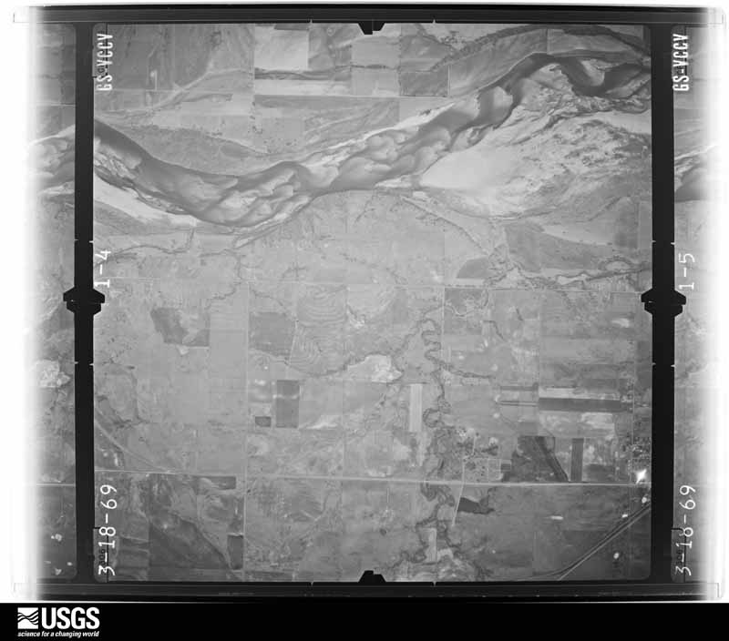
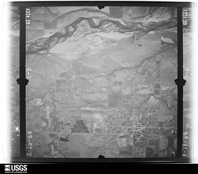
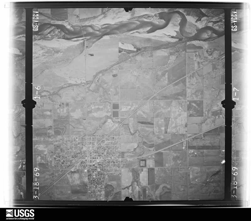
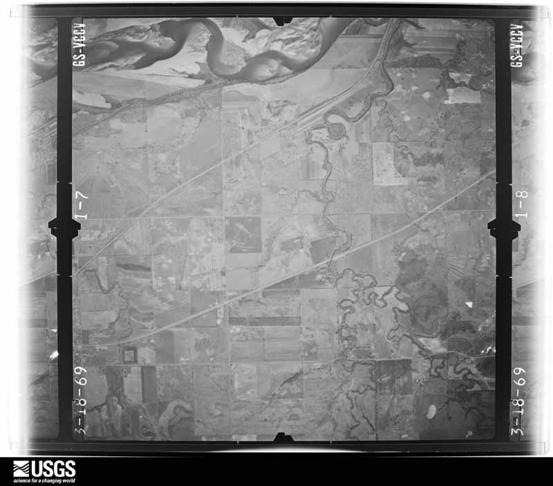
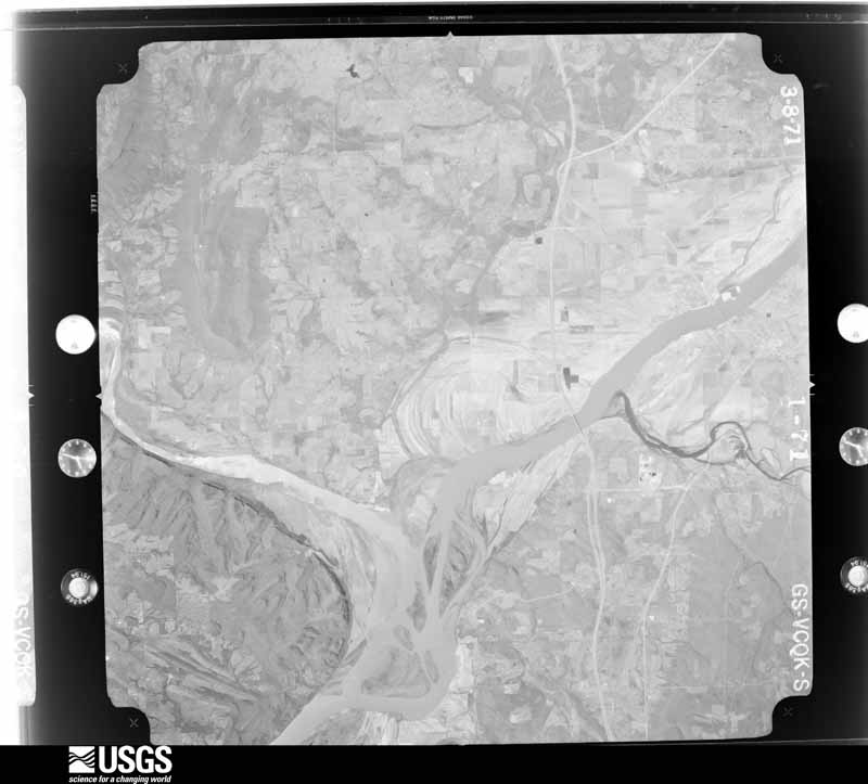
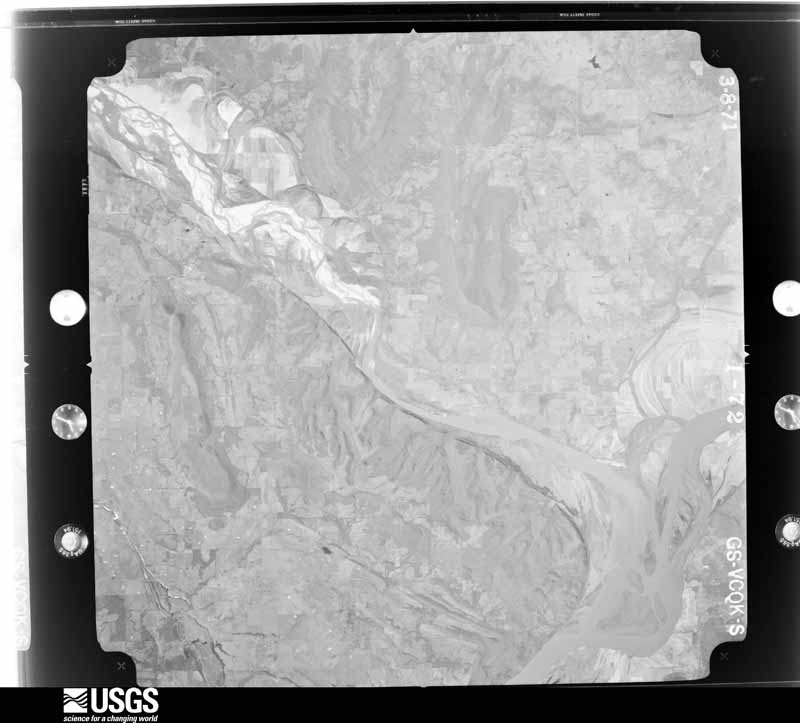
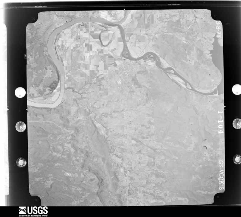
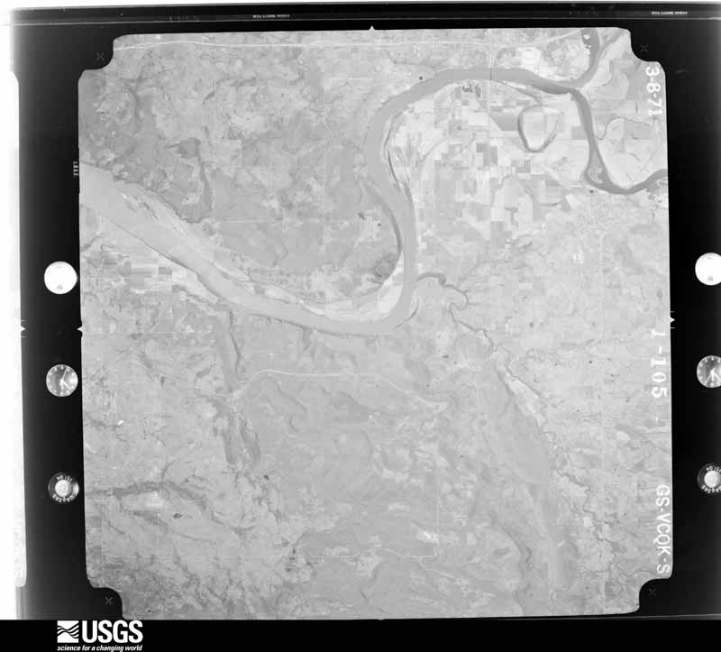
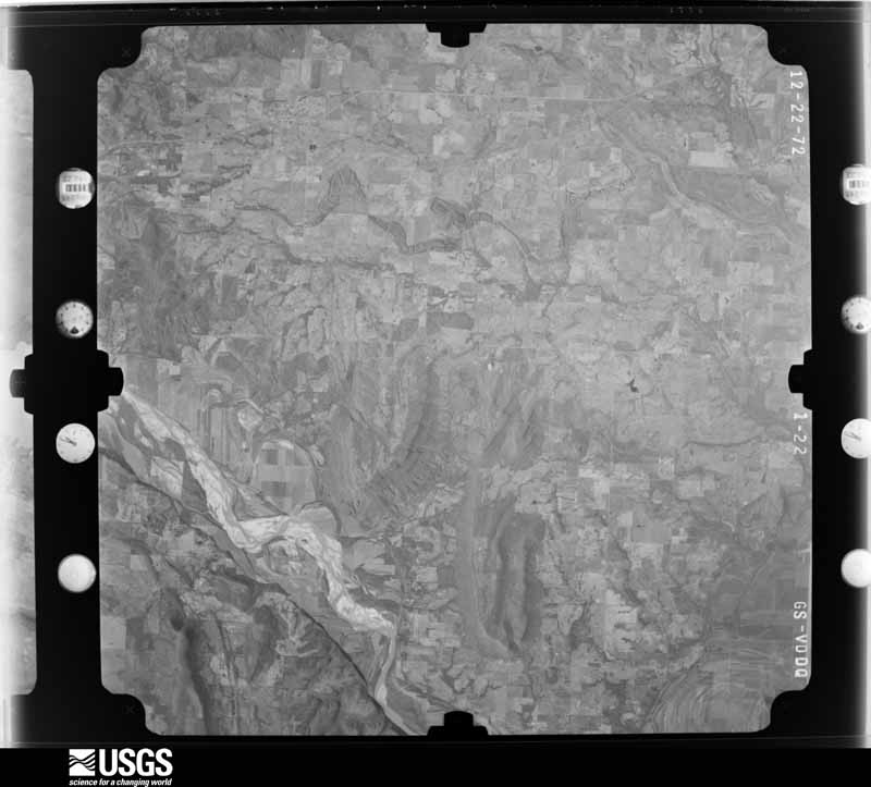
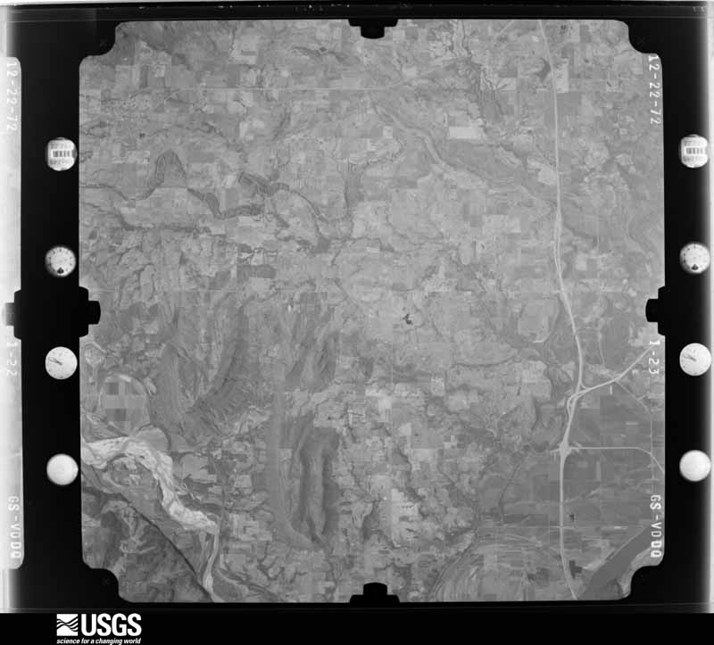
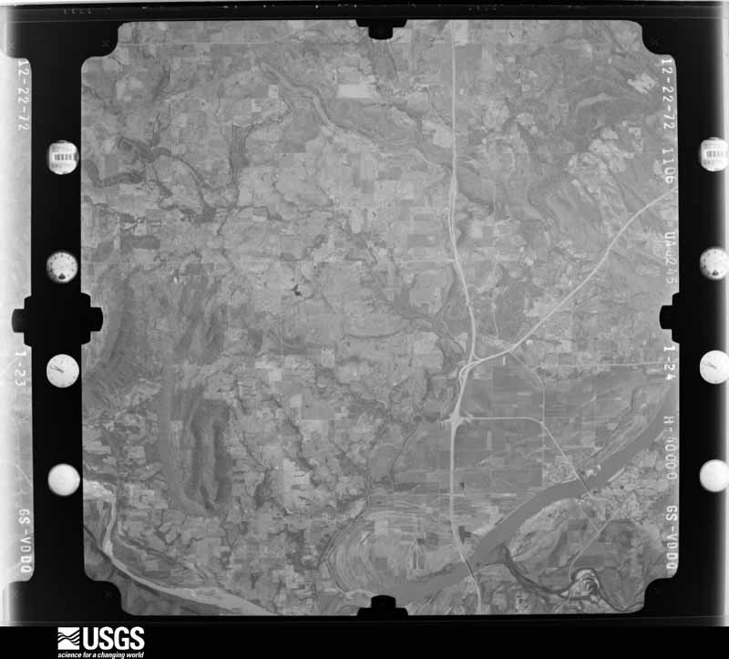
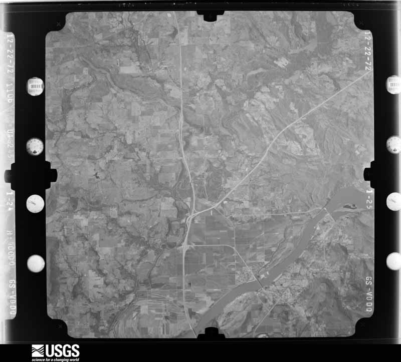
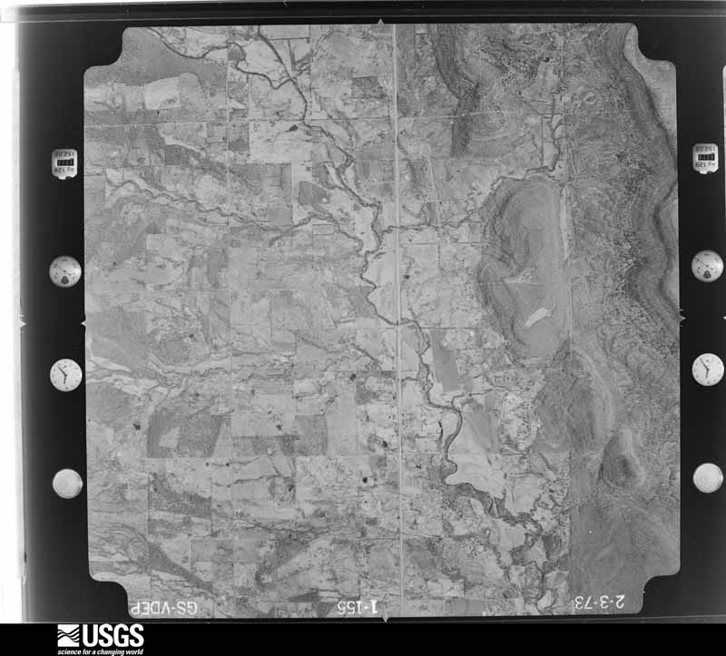
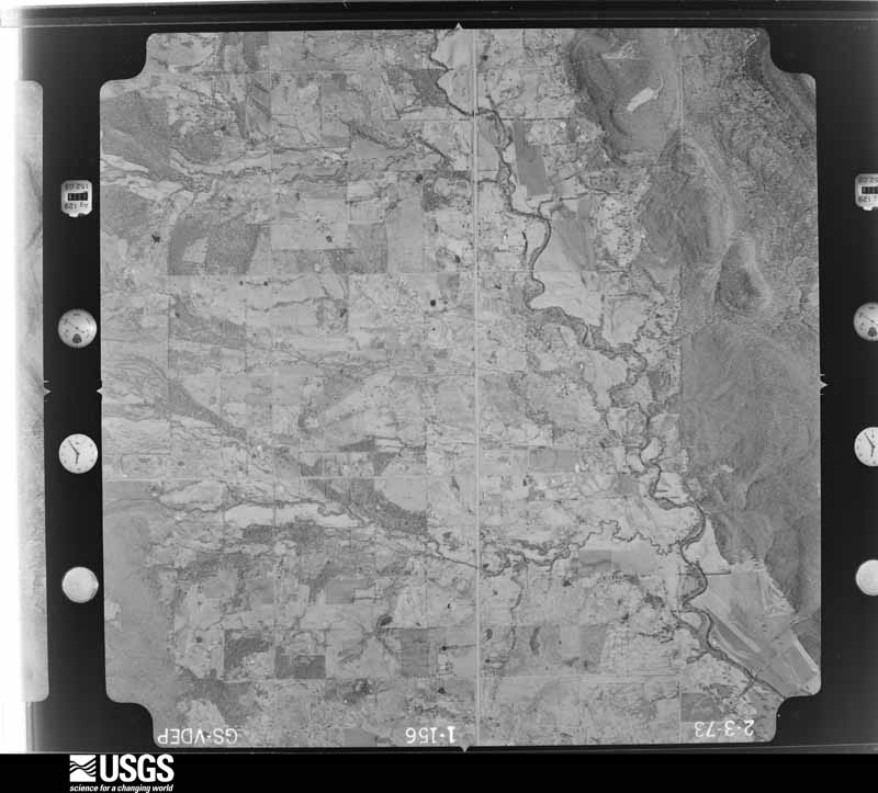
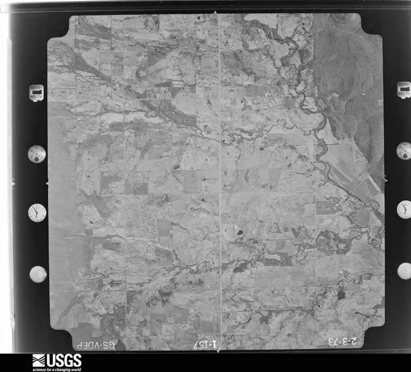
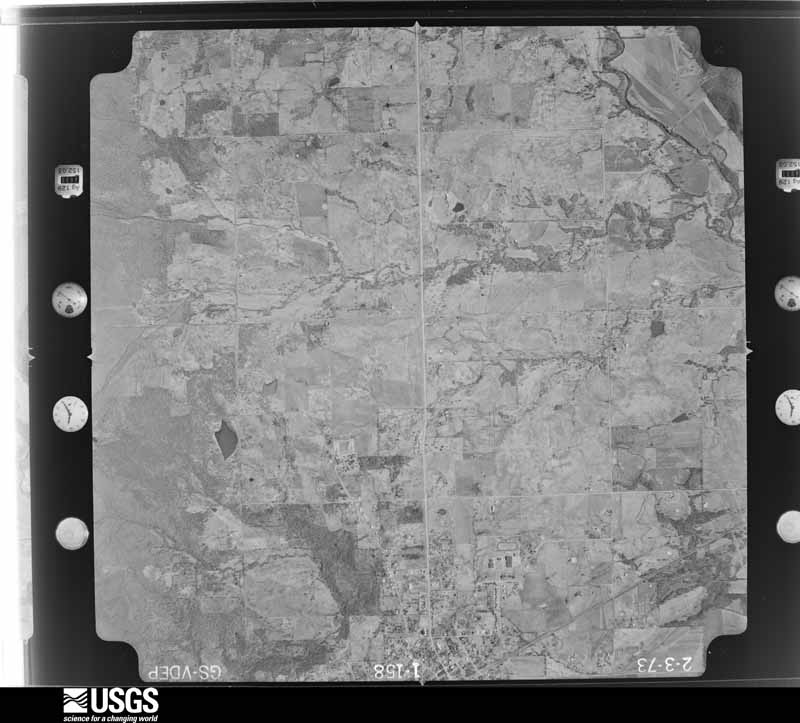
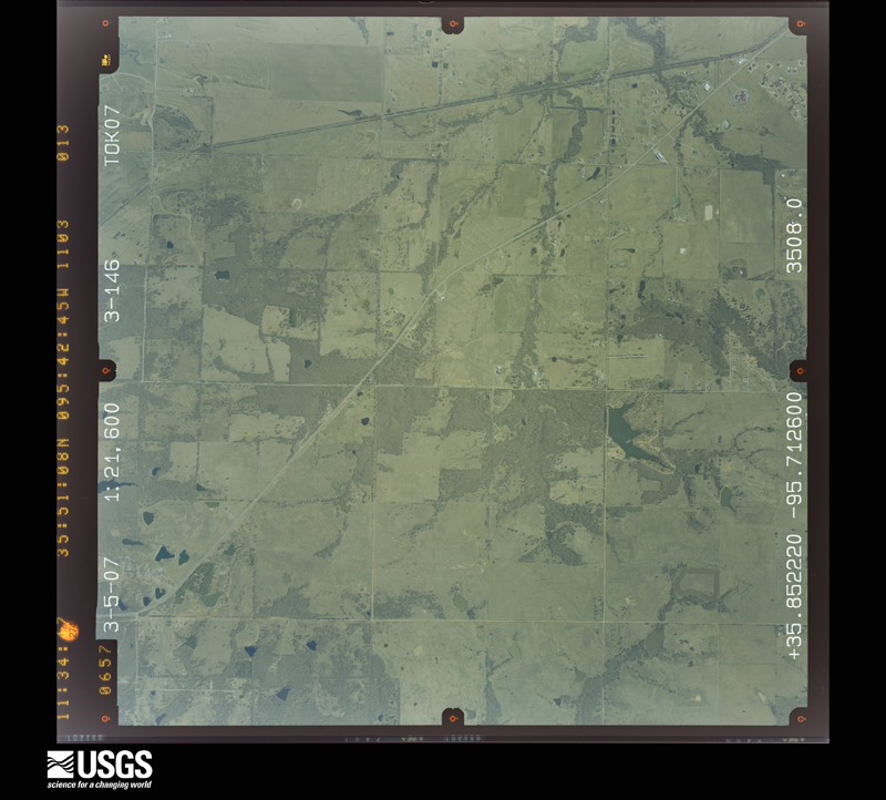
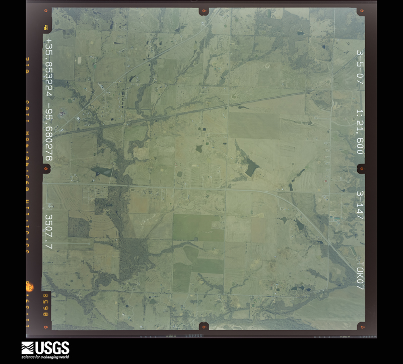
Flown by the U.S. Geological Survey between 1937 and 1989, the Aerial Photo Single Frames collection is the definitive mid-century view of the land: fields, roads and rivers as the camera saw them. The Survey holds 1,183 frames inside the rectangle that bounds this county; the 22 frames below were taken over the county itself, chosen across the decades of flights (at most four a year from that rectangle), so one flight cannot crowd out the rest. The full set is free to browse and download at EarthExplorer under the dataset Aerial Photo Single Frames.
The thermometers that kept this county's weather, and the gages that measured the flow of its streams, as the federal records hold them. The extremes below are measured values from those records, not estimates.
Who lived here in 1950, one enumeration district at a time, as the Census Bureau described each district. Each row opens its official National Archives result, with Population Schedules and ED Maps available there.
Every wildfire the federal occurrence database records inside this county: 247 of them, burning about 60,034 acres. 4 started naturally and 90 were recorded as arson. Each settlement page carries the fires within five miles of it.
| Reported cause | Fires |
|---|---|
| Missing data/not specified/undetermined | 101 |
| Arson/incendiarism | 90 |
| Debris and open burning | 20 |
| Equipment and vehicle use | 12 |
| Recreation and ceremony | 6 |
| Railroad operations and maintenance | 6 |
| Natural | 4 |
| Smoking | 4 |
| Misuse of fire by a minor | 3 |
| Power generation/transmission/distribution | 1 |
The five largest, by the area the report gives. Three of them were set deliberately.
| Date | Cause | Size | Reported by | Name on the report |
|---|---|---|---|---|
| 4 March 2017 | Missing data/not specified/undetermined | 14,000 acres | Oklahoma Division of Forestry | not named |
| 1 January 2006 | Arson/incendiarism | 8,080 acres | Okmulgee Field Office | WAINWRIGHT |
| 28 March 2006 | Missing data/not specified/undetermined | 4,370 acres | Sequoyah National Wildlife Refuge | COPPERHEAD DEN |
| 12 September 2011 | Missing data/not specified/undetermined | 3,900 acres | Oklahoma Division of Forestry | 30480 |
| 24 March 2017 | Arson/incendiarism | 3,700 acres | Oklahoma Division of Forestry | not named |
| 20 November 2005 | Arson/incendiarism | 3,220 acres | Cherokee Nation Tribe | HOLT MTN |
| 7 January 2006 | Natural | 3,110 acres | Cherokee Nation Tribe | WAINWRIGHT 2 |
| 1 March 2008 | Missing data/not specified/undetermined | 2,500 acres | Oklahoma Division of Forestry | 30099 |
Every settlement page carries the fires within five miles of it - see the settlement index below.
The NOAA Storm Events Database holds 918 reports for this county, causing 10 deaths, 50 injuries and about $9,677,970 in recorded property damage. Each settlement page carries the reports that name it.
| Kind of event | Reports |
|---|---|
| Thunderstorm Wind | 389 |
| Hail | 367 |
| Flash Flood | 76 |
| Tornado | 64 |
| Flood | 17 |
| Lightning | 3 |
| Funnel Cloud | 2 |
The most serious of them, by death, then injury, then recorded damage. The accounts are quoted exactly as the forecast office filed them.
| When | Event | Place named | Harm | What the report says |
|---|---|---|---|---|
| May 1973 | Tornado (F4) | not stated | 5 killed, 25 hurt, $250,000 | no account filed |
| November 2024 | Flood | Haskell | 2 killed, $15,000 | A vehicle was driven into a flooded low water crossing on W Bunch Road, and was stranded. Two family members not in the vehicle, but in a nearby home, responded and assisted the driver of the vehicle out of the water. Both of the rescuers drowned as a result of entering the flood water on foot, and were recovered when the water receded the following morning. An estimated two to three inches of rain fell across this portion of northwestern Muskogee County, resulting in the high flow of water through the low water crossing. |
| March 2015 | Flash Flood | Warner | 2 killed | A vehicle with two occupants was driven into a flooded low water crossing where an estimated 1 to 1.25 inches of rain had fallen over the previous few hours. The vehicle was washed off the road and the occupants died in the flood waters. |
| November 1998 | Thunderstorm Wind | Muskogee | 1 killed, $5,000 | A 42-year old woman was killed around 1218 AM CDT when several large tree branches fell through the windshield of a pickup truck in which she was a passenger, stabbing the woman through the neck. This unfortunate incident occurred at the corner of 23rd and Arline Streets. Several minutes earlier at 1213 AM CDT, emergency managers reported wind gusts to 60 mph in Muskogee. |
| May 1992 | Tornado (F0) | not stated | 8 hurt, $2,500 | no account filed |
| September 1985 | Thunderstorm Wind | not stated | 4 hurt | no account filed |
| May 1999 | Thunderstorm Wind | Oktaha | 3 hurt, $165,000 | Strong winds, likely in excess of 75 miles an hour, destroyed five mobile homes and damaged another six mobile homes in the Oktaha Mobile Home Park. There were three injuries serious enough to warrant hospitalization. At least three vehicles were crushed by homes knocked off their foundations. Numerous trees were also blown down. |
| May 2010 | Tornado (EF1) | Mc Lain | 3 hurt | A tornado developed northwest of Webbers Falls, moved east-northeast, snapping or uprooting numerous trees. The tornado overturned several campers and recreational vehicles at Brewer Bend Campground where several people were injured. The estimated peak wind in the tornado based on this damage was 110 mph. The tornado continued into Sequoyah County. |
| May 1977 | Tornado (F1) | not stated | 2 hurt, $25,000 | no account filed |
| March 1985 | Thunderstorm Wind | not stated | 2 hurt | no account filed |
| May 2020 | Tornado (EF1) | Keefeton | 1 hurt, $350,000 | This tornado developed along Elm Grove Road, west of S 25th Street E, where outbuildings were damaged, and trees were uprooted. It moved eastward damaging or destroying about sixteen homes, destroying a number of outbuildings, uprooting numerous trees, and snapping numerous power poles until it dissipated just east of the Muskogee Turnpike. Based on this damage, maximum estimated wind in the tornado was 100 to 110 mph. |
| June 1951 | Tornado (F2) | not stated | 1 hurt, $30 | no account filed |
| July 1984 | Thunderstorm Wind | not stated | 1 hurt | no account filed |
| June 1999 | Tornado (F1) | Ft Gibson | $2,000,000 | An F1 tornado touched down near the Port of Muskogee and moved south for 2.25 miles, lifting just south of Three Forks Park. This tornado destroyed three structures belonging to one business, destroyed two business outbuildings at 3-Forks Park, caused minor damage to one business under construction, and affected eight single family dwellings. The most newsworthy result of this tornado was damage directly inflicted upon the OG&E electrical generation plant. The tornado damaged a coal conveyor belt and a cooling tower. The damage was enough to shut down two of the plant's four coal-powered generating units. At the Fansteel plant, six buildings were torn down by the tornado, causing up to $1.5 million damage there. |
| April 2026 | Tornado (EF1) | Meyer | $750,000 | This tornado developed just east of Highway 69, northeast of Summit, where trees were uprooted, homes were damaged, and power poles were snapped. The tornado moved northeast across Highway 64, damaging numerous homes, snapping and uprooting trees, and snapping power poles. It then crossed Highway 351 and turned to the east along Hancock Street, before crossing the Arkansas River and dissipating east of Highway 10. A few trees were uprooted and numerous large tree limbs were snapped in the path east of Highway 351. Based on this damage, maximum estimated wind in the tornado was 100 to 110 mph. |
| May 2017 | Tornado (EF2) | Muskogee | $350,000 | This tornado developed over the north side of Muskogee where it damaged homes and snapped or uprooted trees. The tornado destroyed a well-constructed metal framed building south of Highway 62, and then tore the roof off a couple apartment buildings north of Highway 62. Trees and power poles were snapped and businesses along Highway 62 had roof damage and broken windows. The tornado continued northeast destroying outbuildings and blowing down trees, dissipating northeast of the intersection of N Main and E Harris Road. Based on this damage, maximum estimated wind in the tornado was 115 to 125 mph. |
| June 2023 | Thunderstorm Wind | Boynton | $346,000 | Thunderstorm wind resulted in at least $346,000 in debris removal and damage to the utility infrastructure across the county during this severe thunderstorm. |
| May 2003 | Tornado (F1) | Ft Gibson | $300,000 | This tornado shortly followed the previous tornado near Fort Gibson. The damage path started within the property of the port of Muskogee and crossed the Arkansas River before dissipating near U. S. Highway 62. Several large trees were damaged or uprooted. Multiple buildings lost sections of sheet metal and overhead doors. A few examples of light structural damage were found. |
| May 2001 | Thunderstorm Wind | Porum | $250,000 | Thunderstorm winds blew the roofs off a few businesses and overturned a few trailers. The wind also overturned a few semi trucks and RVs. |
| May 1971 | Tornado (F3) | not stated | $250,000 | no account filed |
| March 1954 | Tornado (F2) | not stated | $250,000 | no account filed |
| July 2016 | Thunderstorm Wind | Bacone | $200,000 | Strong thunderstorm wind caused significant damage to a shopping center on the north side of Muskogee. |
| June 2000 | Flash Flood | Countywide | $200,000 | Up to 7 inches of rain fell in places across Muskogee county including 3.75 inches in the city of Muskogee. This rain caused numerous roads to be flooded including some city street in Muskogee and Highway 82 near Council Hill. The rain also caused Coody Creek in Muskogee to flood ten homes in The Meadows subdivision. |
| July 2004 | Flash Flood | Countywide | $175,000 | Heavy thunderstorm rains which totalled 4.56 inches near Webbers Falls and 4.31 inches near Muskogee caused widespread flooding of roads across Muskogee county. Several city streets were flooded in Muskogee and Highway 64 was closed near Keefeton. Extensive damage to county roads occurred with nearly all of the total of damage above related to infrastructure. |
| May 1999 | Flash Flood | East Portion | $160,000 | An estimated 6 inches of rain forced the closing of OK Hwy 10 between Muskogee and Braggs. A county commissioner estimated that 60 percent of the roads in the eastern part of the county were closed at one point. Water was about 7 to 8 feet deep on some roads. Three homes in Fort Gibson sustained damage when water came into the homes, which were located in the 300 block of South Avenue. Firefighters had to rescue a family whose minivan was washed into Cooper Creek. At least 7 or 8 other cars had to be pulled out of ditches after the flooding subsided.On 4 Mile Road near the Cherokee county line, the force of the water washed a 48-inch drainage pipe 100 yards down a creek and ripped a five-foot wide hole across the road. Water in the Carriage Estates Addition was deep enough to cover the roof of a car that had washed down the road. |
| March 2008 | Tornado (EF0) | Council Hill | $125,000 | A tornado developed in Council Hill and moved east southeast, dissipating over open country in McIntosh County. The tornado damaged the roof of a church, damaged the roofs of several homes, and caused tree damage in Council Hill. |
| April 2017 | Flash Flood | Hatbox Arpt | $100,000 | Multiple roads across town were flooded and impassable. Some houses on south side of town were evacuated due to them being inundated by flood water. |
| April 2016 | Thunderstorm Wind | Martin | $100,000 | Strong thunderstorm wind destroyed outbuildings, damaged the roofs of homes, and uprooted trees between the county line and the Muskogee Turnpike. |
| May 2014 | Flash Flood | Ft Gibson | $100,000 | Locally heavy rainfall resulted in flash flooding of a couple residential areas on Southeast Avenue and South Avenue. Portions of Highway 10 were also flooded with several cars submerged. |
| May 2011 | Tornado (EF2) | Jamesville | $100,000 | This is the first of two segments of this tornado. In Muskogee County, the tornado destroyed a mobile home and a barn, damaged several other permanent homes, and snapped power poles and large trees. Maximum estimated wind in the tornado based on this damage was about 125 mph. The tornado continued into Wagoner County, Oklahoma. Several storm chasers, storm spotters, and citizens witnessed this tornado. |
| July 2007 | Tornado (EF1) | Warner | $100,000 | A tornado removed a large section of the roof of a church, destroyed a tin storage barn, damaged two homes and snapped a couple of power poles and large trees limbs. |
| May 2003 | Thunderstorm Wind | Beland | $100,000 | Thunderstorm winds estimated at 80 miles an hour blew a home off its foundation and lifted several mobile homes off the ground. |
| May 1999 | Thunderstorm Wind | Muskogee | $100,000 | Two businesses had their roofs blown off. Other buildings had shingles blown off their roofs, while there were numerous trees and tree limbs blown down. The majority of damaged homes were in the east side of town, though the west side had its share of tree damage. |
| May 1999 | Thunderstorm Wind | Wainwright | $95,000 | A single family dwelling was destroyed, and two mobile homes were damaged. The roof of the local school was lifted up and thrown into a school bus. |
| April 2022 | Hail | Council Hill | $75,000 | Hen egg size hail damaged homes, businesses, and vehicles. |
| May 2014 | Flash Flood | Warner | $75,000 | Locally heavy rainfall resulted in flooding of an apartment complex, which was evacuated. |
| July 2011 | Thunderstorm Wind | Muskogee Davis Arpt | $75,000 | The ASOS at Davis Field measured 72 mph thunderstorm wind gusts. Three metal buildings near the airport were destroyed, large trees were uprooted, and homes were damaged by the wind. |
| September 2010 | Flash Flood | Porum | $75,000 | Numerous roads were reported flooded and closed due to high water. Several county roads and low water crossings were washed out by flood waters. |
| May 2000 | Flash Flood | West Portion | $75,000 | Heavy rains fell over the western portion of Muskogee County during the early morning hours of May 6. A representative total of 4.5 inches was reported at Haskell. A few businesses in downtown Haskell had water enter them due to street flooding. In rural parts of the county to the south and west of Haskell streams flowed out of their banks causing two bridges and a large tin horn to be washed out. |
| May 2025 | Tornado (EF1) | Webbers Falls | $50,000 | This is the first segment of a two segment tornado. The tornado developed near the intersection of the N 4390 Road and the E 1035 Road, and moved east-northeast destroying outbuildings, snapping or uprooting trees, and blowing over a center pivot irrigation system before crossing the Arkansas River, and moving into Sequoyah County. It produced a tornadic debris signature from the KSRX WSR-88D. Based on this damage, maximum estimated wind in this segment of the tornado was 95 to 105 mph. |
| November 2024 | Thunderstorm Wind | Haskell | $50,000 | Strong thunderstorm wind damaged or destroyed several outbuildings and snapped numerous large tree limbs in and around Haskell. |
| October 2021 | Tornado (EF1) | Warner | $50,000 | This is the first segment of a two segment tornado. A long-track supercell produced this tornado, which developed near I-40 east-southeast of Warner, to the east of S 75th Street E. It moved northeast across Highway 64, and then crossed the Muskogee Turnpike near E 163rd Street S. The tornado then moved over the Arkansas River, and crossed into Sequoyah County near the intersection of the county line and Highway 10A. In Muskogee County, the tornado damage homes, destroyed outbuildings, snapped or uprooted numerous trees, and blew down power poles. Based on this damage, maximum estimated wind in this segment of the tornado was 100 to 110 mph. |
| April 2016 | Tornado (EF1) | Braggs | $50,000 | This tornado snapped or uprooted numerous trees, damaged buildings at Greenleaf State Park, and snapped power poles. The end point is estimated based on radar data as the tornado moved onto Camp Gruber, which was inaccessible to the survey team. Based on this damage, maximum estimated wind in the tornado was 100 to 110 mph. |
| July 2015 | Flash Flood | Neha | $50,000 | Flood water of Coody Creek washed out the bridge on E 55th Street South in Muskogee. |
| March 2008 | Flash Flood | Boynton | $50,000 | Heavy rain flooded and damaged numerous county roads across Muskogee County. |
| April 2008 | Flash Flood | Porum | $50,000 | Heavy rain caused roads and streets in and around Porum to be flooded. The flooding damaged three low water bridges and caused to roads to be closed. |
| June 2004 | Thunderstorm Wind | Haskell | $50,000 | Thunderstorm winds estimated at 70 miles an hour blew down trees and large tree limbs. Some homes and outbuildings also received damage. |
| November 2004 | Flash Flood | Muskogee | $50,000 | Several roads in and around Muskogee continued to be flooded from the evening before. Several cars were stranded in the high water. In addition, 10 to 12 homes had water enter them in the Meadows subdivision just south of Muskogee. The Emergency Operation Center in Muskogee also was evacuated when 6 inches of water flooded it. |
| October 2004 | Flash Flood | Ft Gibson | $50,000 | Heavy thunderstorm rains caused several housing divisions to be flooded in and around Fort Gibson. |
| February 2001 | Thunderstorm Wind | Muskogee | $50,000 | Thunderstorm winds destroyed some transmission towers. |
| May 2010 | Hail | Council Hill | $50,000 | no account filed |
| June 2001 | Hail | Taft | $50,000 | no account filed |
| April 1995 | Thunderstorm Wind | Muskogee | $50,000 | no account filed |
| July 1994 | Thunderstorm Wind | Warner | $50,000 | no account filed |
| November 2018 | Tornado (EF0) | Webbers Falls Sheffi | $40,000 | This is the first segment of a two segment tornado. This tornado developed in the Arkansas River bottoms of far southeastern Muskogee County, where several center pivot irrigation systems were destroyed and barns were damaged. The tornado crossed the Arkansas River into Sequoyah County. Based on this damage, maximum estimated wind in this segment of the tornado was 80 to 85 mph. |
| March 2025 | Thunderstorm Wind | Jamesville | $30,000 | Strong thunderstorm wind destroyed an outbuilding. |
| May 2015 | Tornado (EF1) | Porum | $30,000 | This tornado developed in or just north of the Canadian River bottoms and moved north-northeast uprooting trees, snapping a few tree trunks, damaging outbuildings, and damaging a couple homes. Based on this damage, maximum estimated wind in the tornado was 90 to 100 mph. |
| June 2004 | Thunderstorm Wind | Muskogee | $30,000 | Thunderstorm winds estimated at 70 miles an hour blew down trees and snapped off power poles. In addition, a large billboard at a used car lot was blown down damaging nearly a dozen cars. |
| May 2003 | Thunderstorm Wind | Wainwright | $30,000 | Thunderstorm winds estimated at 80 miles an hour destroyed a mobile home. |
| March 1999 | Thunderstorm Wind | Muskogee | $30,000 | The steel frame of a warehouse under construction was destroyed near the Port of Muskogee. |
The Survey's mineral resources record lists 44 workings inside this county. 4 still produce and 40 are closed or unrecorded. Each settlement page carries the workings within five miles of it.
| Commodity | Workings |
|---|---|
| Sand and Gravel, Construction | 24 |
| Stone, Crushed/Broken | 12 |
| Clay | 8 |
| Silica | 1 |
The least common of them first, because a county's hundredth gravel pit says nothing its first ten did not.
| Where | Site | Commodity | Status | Recorded |
|---|---|---|---|---|
| Unknown Gravel Pit | Silica | Past Producer | ||
| County Shale Pit | Clay | Producer | ||
| Unknown Limestone Pit | Stone, Crushed/Broken, Clay | Producer | ||
| Unknown Shale Pit | Clay | Past Producer | ||
| Unknown Shale Pit | Clay | Past Producer | ||
| Unknown Shale Pit | Clay | Past Producer | ||
| Unknown Shale Pit | Clay | Past Producer | ||
| Unknown Shale Pits | Clay | Past Producer | ||
| Unknown Shale Pits | Clay | Past Producer | ||
| Cherokee Co Limestone Pit | Stone, Crushed/Broken | Past Producer | ||
| Unknown Limestone Pit | Stone, Crushed/Broken | Past Producer | ||
| Unknown Limestone Pit | Stone, Crushed/Broken | Past Producer | ||
| Unknown Limestone Pit | Stone, Crushed/Broken | Past Producer | ||
| Unknown Sandstone Pit | Stone, Crushed/Broken | Past Producer | ||
| Unknown Sandstone Pit | Stone, Crushed/Broken | Past Producer | ||
| Unknown Sandstone Pit | Stone, Crushed/Broken | Past Producer | ||
| Unknown Sandstone Pit | Stone, Crushed/Broken | Past Producer | ||
| Unknown Sandstone Pit | Stone, Crushed/Broken | Past Producer | ||
| Unknown Sandstone Pit | Stone, Crushed/Broken | Past Producer | ||
| Unknown Sandstone Pit | Stone, Crushed/Broken | Past Producer | ||
| Arkola Sand & Gravel Pit | Sand and Gravel, Construction | Producer | ||
| County Gravel Pit | Sand and Gravel, Construction | Past Producer | ||
| H & C Sand Co Sand Pit | Sand and Gravel, Construction | Producer | ||
| H D Youngman Contr Limestone Pit | Sand and Gravel, Construction | Past Producer | ||
| Unknown Gravel Pit | Sand and Gravel, Construction | Past Producer | ||
| Unknown Gravel Pit | Sand and Gravel, Construction | Past Producer | ||
| Unknown Gravel Pit | Sand and Gravel, Construction | Past Producer | ||
| Unknown Gravel Pit | Sand and Gravel, Construction | Past Producer | ||
| Unknown Gravel Pit | Sand and Gravel, Construction | Past Producer | ||
| Unknown Gravel Pit | Sand and Gravel, Construction | Past Producer | ||
| Unknown Gravel Pit | Sand and Gravel, Construction | Unknown | ||
| Unknown Gravel Pits | Sand and Gravel, Construction | Past Producer | ||
| Unknown Gravel Pits | Sand and Gravel, Construction | Past Producer | ||
| Unknown Sand Pit | Sand and Gravel, Construction | Past Producer | ||
| Unknown Sand Pit | Sand and Gravel, Construction | Past Producer | ||
| Unknown Sand Pit | Sand and Gravel, Construction | Past Producer | ||
| Unknown Sand Pit | Sand and Gravel, Construction | Past Producer | ||
| Unknown Sand Pit | Sand and Gravel, Construction | Past Producer | ||
| Unknown Sand Pit | Sand and Gravel, Construction | Past Producer | ||
| Unknown Sand Pit | Sand and Gravel, Construction | Past Producer | ||
| Unknown Sand Pit | Sand and Gravel, Construction | Past Producer | ||
| Unknown Sand Pit | Sand and Gravel, Construction | Past Producer | ||
| Unknown Sand Pit | Sand and Gravel, Construction | Past Producer | ||
| Unknown Sand Pits | Sand and Gravel, Construction | Past Producer |
The part of each published history that is about one town: 3 chapters, each reproduced complete.
| Town | Chapter | From | Length |
|---|---|---|---|
| Boynton | Muskogee and Northeastern Oklahoma, Including the Counties of Muskogee | Muskogee and Northeastern Oklahoma, Including the Counties of Muskogee, McIntosh, Wagoner, Cherokee, Sequoyah, Adair, Delaware, Mayes, Rogers, Washington, Nowata, Craig, and Ottawa (1922) | 383 words |
| Haskell | Muskogee and Northeastern Oklahoma, Including the Counties of Muskogee | Muskogee and Northeastern Oklahoma, Including the Counties of Muskogee, McIntosh, Wagoner, Cherokee, Sequoyah, Adair, Delaware, Mayes, Rogers, Washington, Nowata, Craig, and Ottawa (1922) | 940 words |
| Webbers Falls | Muskogee and Northeastern Oklahoma, Including the Counties of Muskogee | Muskogee and Northeastern Oklahoma, Including the Counties of Muskogee, McIntosh, Wagoner, Cherokee, Sequoyah, Adair, Delaware, Mayes, Rogers, Washington, Nowata, Craig, and Ottawa (1922) | 1,078 words |
One book written about this county, cut here where the book itself is cut, at its printed chapters: 7 chapters in all. Every chapter is public domain, machine-read from the scan and reproduced complete. A chapter already given under one of the county's towns is not repeated in this list.
| Chapter | Length |
|---|---|
| Chapter 10: Allotment of Indian Lands | 2,065 words |
| Chapter 15: Natural Resources | 7,093 words |
| Chapter 16: Early Indian Mission Schools | 1,950 words |
| Chapter 18: Indian Territory Rough Riders | 2,082 words |
| Chapter 22: Early History of Muskogee | 10,671 words |
| Chapter 24: Modern Muskogee | 9,290 words |
| Chapter 25: Public School System of Muskogee | 4,977 words |
Named settlements recorded in the Geographic Names Information System, each with the topographic sheets covering it. Villages, hamlets and abandoned places alike. Each is shown with the nearest named watercourse or landform and the survey quadrangle it falls on. The 7 places that were also surveyed for fire insurance come first, with the number of atlases and photographs held for them.
Boynton census division · 74422 · Boynton quadrangle
15 sheets, 1896 to 1978
Fire insurance: 3 atlases
Muskogee census division · 74423 · Braggs quadrangle
20 sheets, 1901 to 1978
Fire insurance: 6 atlases
Muskogee census division · 74434 · On Correll Branch · Northeast Muskogee quadrangle
18 sheets, 1901 to 1978
Fire insurance: 8 atlases
Haskell census division · 74436 · Haskell quadrangle
15 sheets, 1896 to 1978
Fire insurance: 4 atlases
Muskogee census division · 74401 · Near Tower Hill · Southeast Muskogee quadrangle
19 sheets, 1901 to 1978
Fire insurance: 10 atlases
Webbers Falls census division · 74470 · On Dog Branch · Webbers Falls quadrangle
19 sheets, 1901 to 1978
Fire insurance: 8 atlases
Muskogee census division · 74403 · Near Tower Hill · Northeast Muskogee quadrangle
18 sheets, 1901 to 1978
Porum census division · 74455 · Near Turkey Knob · Stigler West quadrangle
15 sheets, 1900 to 1978
Muskogee census division · 74401 · Northwest Muskogee quadrangle
18 sheets, 1901 to 1978
No longer a settlement
Muskogee Southwest census division · 74401 · Near Baucum Hill · Southwest Muskogee quadrangle
18 sheets, 1901 to 1978
Muskogee census division · 74403 · On Corta Creek · Southeast Muskogee quadrangle
19 sheets, 1901 to 1978
Muskogee census division · 74423 · On Little Greenleaf Creek · Webbers Falls quadrangle
19 sheets, 1901 to 1978
Muskogee census division · 74403 · On Neosho River · Northeast Muskogee quadrangle
18 sheets, 1901 to 1978
Muskogee Southwest census division · 74450 · Wainwright quadrangle
14 sheets, 1896 to 1978
No longer a settlement
Porum census division · 74455 · Near Hi Early Mountain · Porum quadrangle
14 sheets, 1900 to 1978
Muskogee census division · 74403 · On Corta Creek · Southeast Muskogee quadrangle
19 sheets, 1901 to 1978
Muskogee Southwest census division · 74401 · Southwest Muskogee quadrangle
18 sheets, 1901 to 1978
Muskogee Southwest census division · 74468 · Wainwright quadrangle
14 sheets, 1896 to 1978
Muskogee census division · 74401 · Southwest Muskogee quadrangle
18 sheets, 1901 to 1978
Muskogee census division · 74403 · On Verdigris River · Northeast Muskogee quadrangle
18 sheets, 1901 to 1978
The vanished settlements of Muskogee County: the places named above that are no longer on the map.
19 topographic sheets and 10 fire insurance atlases, 1886 to 1951
18 topographic sheets and 8 fire insurance atlases, 1894 to 1938
19 topographic sheets and 8 fire insurance atlases, 1894 to 1912
20 topographic sheets and 6 fire insurance atlases, 1899 to 1915
15 topographic sheets and 4 fire insurance atlases, 1912 to 1929
15 topographic sheets and 3 fire insurance atlases, 1914 to 1925
The complete index, with nothing left out. Each of these is a separate record with its own page: a federal survey report, or the case file that argued a property on to the National Register. Both are public domain and reproduced word for word.
The vanished settlements of Muskogee County, the places these records name that are no longer on the map.