 Block
Muskogee, Oklahoma
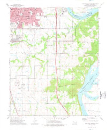
19 topographic sheets cover this place, the earliest surveyed in 1901 and the latest in 1978. It stands in the Muskogee census division. It lies in ZIP code area 74401. It lies near Tower Hill. The Survey maps it on the Southeast Muskogee quadrangle. 36,878 people lived here at the 2020 count. It stands 604 feet above sea level.
Research this city
On record in Muskogee
Buildings and businesses the archive holds for this place. Each opens its own page, with the source record it came from.
On the National Register 12 of 34 shown
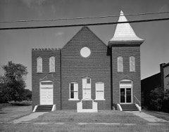 Central Baptist Churchlisted 1984
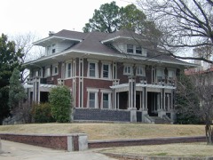 V. R. Coss Houselisted 1984
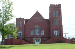 First Baptist Churchlisted 1984
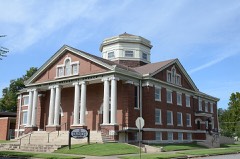 First Methodist Episcopal Churchlisted 2014
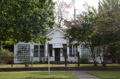 Grant Foreman Houselisted 1973
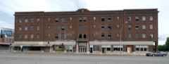 Hotel Muskogeelisted 2019
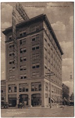 Manhattan Buildinglisted 1983
 Masonic Templelisted 2014
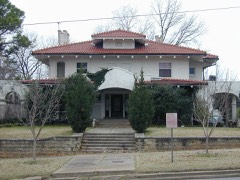 George A. Murphy Houselisted 1984
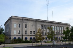 Muskogee County Courthouselisted 1984
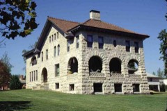 A. W. Patterson Houselisted 1984
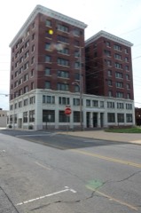 Railroad Exchange Buildinglisted 1983
Every listing in Muskogee County
Surveyed buildings and structures 4 records
- Central Baptist Church, 515 North Fourth Street, Muskogeefederal building survey, 7 photographs
- Honor Heights Park and the Union Agency, 641 Park Drive, Muskogeefederal building survey, 1 photograph
- Honor Heights Park, Agency Hill, Muskogeefederal building survey, 7 photographs
- The Union Agency, Honor Heights Park, Muskogeefederal building survey, 9 photographs
Population over time
2 figuresMuskogee fell from 39,223 to 36,878 between 2010 and 2020. These are the recorded population figures Wikidata holds for this place, reached through the Geographic Names Information System number this page is keyed on rather than by name, so they belong to this place and not to another of the same name. Most are census counts, but not all are: an early figure may be a founding or settlement estimate, and an estimate published within five years of a census is left out. The change column is computed, and is left blank where more than 20 years separate a figure from the one before it, because a gap that long is not a change between two counts.
| Year | People | Change |
|---|---|---|
| 2010 | 39,223 | |
| 2020 | 36,878 | -2,345 (-6%) |
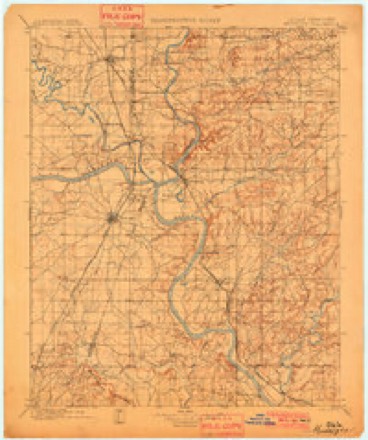
Topographic sheets covering this place
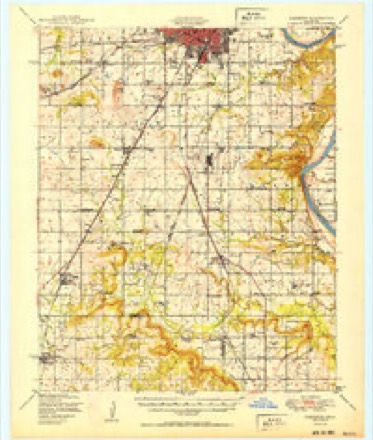
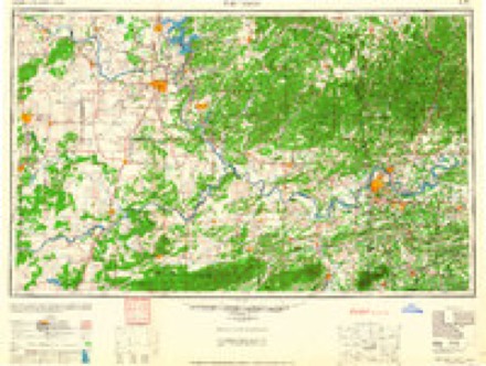
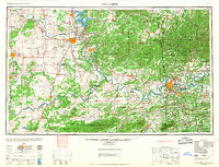
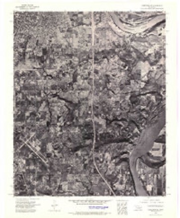
12 surveys from 19 printed sheetsMatched by testing this settlement's coordinate against the published boundary of every sheet in the United States Geological Survey's historical collection. Each opens the scanned sheet at the Survey.
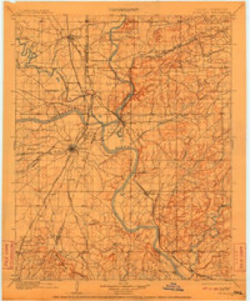
- 1901 USGS Muscogee quadrangle1:125000, 2 printings
- 1901 USGS Muskogee quadrangle1:125000, 4 printings
- 1905 USGS Muscogee quadrangle1:125000
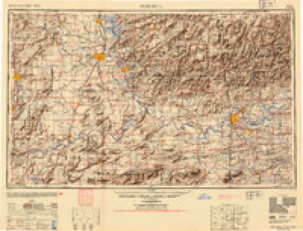
- 1946 USGS Fort Smith quadrangle1:250000
- 1948 USGS Keefeton quadrangle1:62500, 2 printings
- 1950 USGS Keefeton quadrangle1:62500, 2 printings
- 1965 USGS Fort Smith quadrangle1:250000
- 1967 USGS Fort Smith quadrangle1:250000
- 1972 USGS Keefeton NE quadrangle1:24000
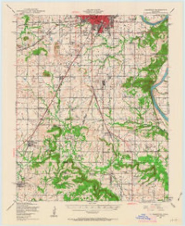
- 1974 USGS Southeast Muskogee quadrangle1:24000
- 1978 USGS Fort Smith quadrangle1:250000, 2 printings
- 1978 USGS Muskogee quadrangle1:100000
Photographs
8 of 37 photographs shown, 1939Taken for the Office of War Information and the Farm Security Administration, who photographed the country between 1935 and 1944. Works of United States government photographers, with no known restriction on use. Each opens its catalogue record.
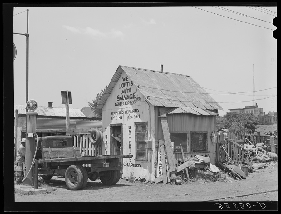
Lee, Russell, 1939. Library of Congress
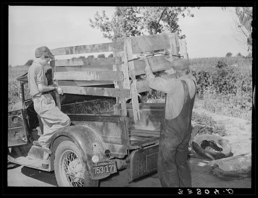
Lee, Russell, 1939. Library of Congress
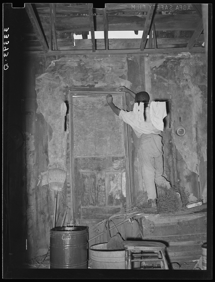
Lee, Russell, 1939. Library of Congress

Lee, Russell, 1939. Library of Congress
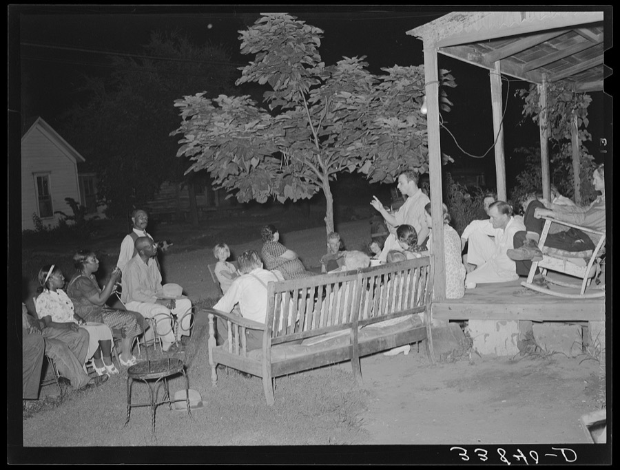
Lee, Russell, 1939. Library of Congress

Lee, Russell, 1939. Library of Congress
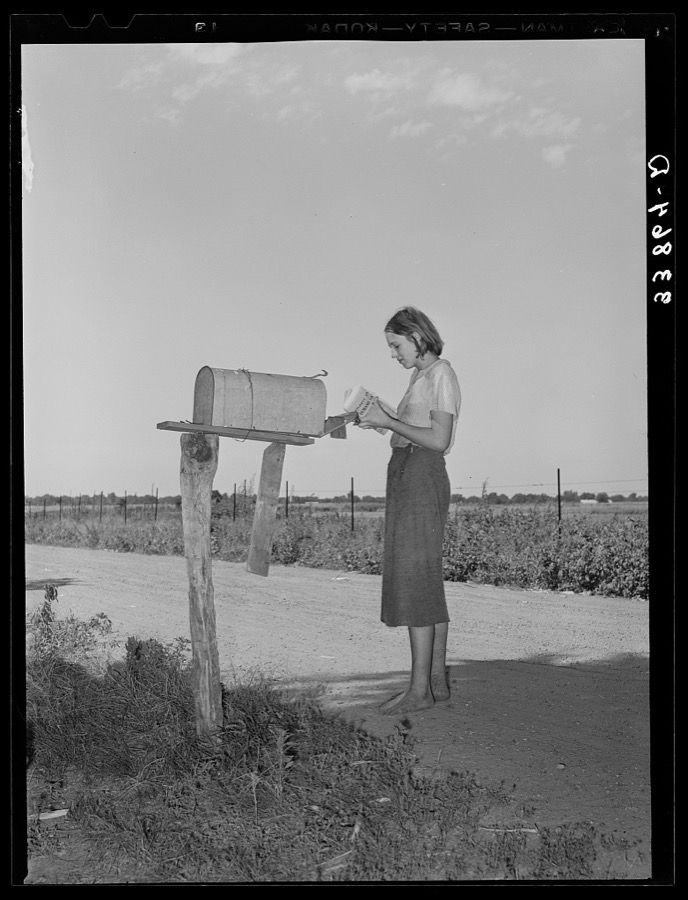
Lee, Russell, 1939. Library of Congress
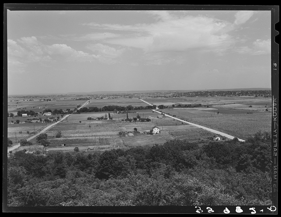
Lee, Russell, 1939. Library of Congress
Every photograph of Muskogee County
Fires near this place
8 since 2008Regional context, not property-specific evidence. The federal wildfire occurrence database lists 8 fires within 5 miles of Muskogee between 2008 and 2012, burning about 356 acres in total. None started naturally. 6 were recorded as arson. Distance is straight-line from the map coordinates, so a fire counted here may appear on a neighbouring settlement's page as well.
| Reported cause | Fires |
|---|---|
| Arson/incendiarism | 6 |
| Debris and open burning | 1 |
| Power generation/transmission/distribution | 1 |
The most recent of them, most recent first, with the day each was reported and the service that recorded it.
| Date | Cause | Size | Reported by | Name on the report |
|---|---|---|---|---|
| 8 August 2008 | Debris and open burning | under an acre | Okmulgee Field Office | DUMB LUCK |
| 1 August 2012 | Arson/incendiarism | 50 acres | Oklahoma Division of Forestry | 40307 |
| 9 February 2008 | Arson/incendiarism | 126 acres | Okmulgee Field Office | DRAGON SLAYER |
| 26 February 2012 | Arson/incendiarism | 60 acres | Oklahoma Division of Forestry | 30087 |
| 5 January 2008 | Arson/incendiarism | 28 acres | Okmulgee Field Office | MONKEY PICKLE |
| 3 January 2008 | Arson/incendiarism | 10 acres | Okmulgee Field Office | SMITH FERRY |
| 29 January 2008 | Power generation/transmission/distribution | 81 acres | Okmulgee Field Office | LITTLE SOCKS |
| 20 January 2012 | Arson/incendiarism | under an acre | Okmulgee Field Office | PEAK |
Settlements close enough to share some of these fires:
Mines and quarries near this place
5 within 5 milesRegional context, not property-specific evidence. The federal mineral resources record lists 5 workings within 5 miles of Muskogee: 4 past producers, 1 producer. 1 still produces. What was taken out: Sand and Gravel, Construction, Clay. Distance is straight-line from the map coordinates, so a quarry counted here may appear on a neighbouring settlement's page as well.
| Where | Site | Commodity | Status | Recorded |
|---|---|---|---|---|
| Unknown Shale Pit | Clay | Past Producer | ||
| Arkola Sand & Gravel Pit | Sand and Gravel, Construction | Producer | ||
| Sinor Sand Co Gravel Pit | Sand and Gravel, Construction | Past Producer | ||
| Unknown Gravel Pit | Sand and Gravel, Construction | Past Producer | ||
| Unknown Sand Pit | Sand and Gravel, Construction | Past Producer |
Storms near this place
60 of 162 shownRegional context, not property-specific evidence. The National Weather Service names Muskogee in 162 storm reports between 1993 and 2026: 70 hail, 66 thunderstorm wind, 16 flash flood, 4 flood. The reports record 1 death. Each account below is quoted exactly as the forecast office filed it, from the NOAA Storm Events Database, and each date opens the federal record of that event.
| When | Event | Place named | Harm | What the report says |
|---|---|---|---|---|
| November 1998 | Thunderstorm Wind | Muskogee | 1 killed, $5,000 | A 42-year old woman was killed around 1218 AM CDT when several large tree branches fell through the windshield of a pickup truck in which she was a passenger, stabbing the woman through the neck. This unfortunate incident occurred at the corner of 23rd and Arline Streets. Several minutes earlier at 1213 AM CDT, emergency managers reported wind gusts to 60 mph in Muskogee. |
| May 2017 | Tornado (EF2) | Muskogee | $350,000 | This tornado developed over the north side of Muskogee where it damaged homes and snapped or uprooted trees. The tornado destroyed a well-constructed metal framed building south of Highway 62, and then tore the roof off a couple apartment buildings north of Highway 62. Trees and power poles were snapped and businesses along Highway 62 had roof damage and broken windows. The tornado continued northeast destroying outbuildings and blowing down trees, dissipating northeast of the intersection of N Main and E Harris Road. Based on this damage, maximum estimated wind in the tornado was 115 to 125 mph. |
| May 1999 | Thunderstorm Wind | Muskogee | $100,000 | Two businesses had their roofs blown off. Other buildings had shingles blown off their roofs, while there were numerous trees and tree limbs blown down. The majority of damaged homes were in the east side of town, though the west side had its share of tree damage. |
| November 2004 | Flash Flood | Muskogee | $50,000 | Several roads in and around Muskogee continued to be flooded from the evening before. Several cars were stranded in the high water. In addition, 10 to 12 homes had water enter them in the Meadows subdivision just south of Muskogee. The Emergency Operation Center in Muskogee also was evacuated when 6 inches of water flooded it. |
| February 2001 | Thunderstorm Wind | Muskogee | $50,000 | Thunderstorm winds destroyed some transmission towers. |
| April 1995 | Thunderstorm Wind | Muskogee | $50,000 | no account filed |
| June 2004 | Thunderstorm Wind | Muskogee | $30,000 | Thunderstorm winds estimated at 70 miles an hour blew down trees and snapped off power poles. In addition, a large billboard at a used car lot was blown down damaging nearly a dozen cars. |
| March 1999 | Thunderstorm Wind | Muskogee | $30,000 | The steel frame of a warehouse under construction was destroyed near the Port of Muskogee. |
| May 2022 | Hail | West Muskogee | $25,000 | Ping pong ball size hail damaged homes and vehicles. |
| May 2017 | Tornado (EF1) | West Muskogee | $25,000 | This tornado developed on Eagle Crest Golf Club, where several homes were damaged and trees were uprooted. It moved northeast blowing down trees and power poles, and then dissipated on the west side of Muskogee. Based on this damage, maximum estimated wind in the tornado was 90 to 100 mph. |
| July 2013 | Thunderstorm Wind | Muskogee | $25,000 | Strong thunderstorm wind blew down several trees and power lines. |
| May 2010 | Flash Flood | Muskogee | $25,000 | Multiple homes and vehicles were flooded in a housing addition along Sam Creek on the south side of Muskogee. Several water rescues were conducted. |
| April 2001 | Thunderstorm Wind | Muskogee | $20,000 | Thunderstorm winds blew the roofs off of several buildings. |
| January 1996 | Thunderstorm Wind | Muskogee | $20,000 | no account filed |
| June 2012 | Thunderstorm Wind | Muskogee | $15,000 | Strong thunderstorm wind blew off portions of the roof of a home. |
| June 1998 | Lightning | Muskogee | $15,000 | A lightning strike during the early morning of June 10 at the Frontier Terminal on the Arkansas River caused a pump to activate, spilling an estimated 11000 gallons of asphalt oil and diesel fuel. One thousand gallons of the diesel fuel entered the river, affecting 5 miles of the river before it could be contained. (Time estimated) |
| April 2014 | Hail | Muskogee | $15,000 | no account filed |
| August 1998 | Thunderstorm Wind | Muskogee | $11,000 | A thunderstorm on the south side of Muskogee caused considerable wind damage as the storm collapsed. Most of the damage was confined to a 2-mile long area along Peak Blvd. bounded by US Hwy 69 on the west and Cherokee Street on the east. The Muskogee Phoenix daily newspaper reported the following damage:- The trailer portion of an 18-wheeler was blown over, although it is unknown whether or not the trailer was loaded. - A shop had its overhead doors blown out.- One building partially collapsed, and another building under construction had a secured wall blown over.- Sheet metal was blown off the roof of one building.- A fence partially constructed of concrete block was blown over.- The ASOS at Davis Field measured a peak gust of 47 mph, although this location was south of the main damage area. |
| June 2008 | Thunderstorm Wind | Muskogee | $10,000 | Thunderstorm winds estimated at 70 miles an hour removed a roof from a metal building. |
| July 2007 | Flash Flood | Muskogee | $10,000 | Heavy rain caused severe street flooding in Muskogee. The water was as much as two and a half feet deep on some streets. In addition, water entered a few homes and the court house. |
| June 2005 | Thunderstorm Wind | Muskogee | $10,000 | Thunderstorm winds estimated at 70 miles an hour blew out the windows of a hotel. Numerous signs and tree limbs were also blown down. |
| February 2001 | Thunderstorm Wind | Muskogee | $10,000 | Thunderstorm winds destroyed a barn. |
| June 1999 | Flash Flood | Muskogee | $10,000 | About 3/4" of rain fell in a short time in Muskogee, causing water to quickly rise and seep into the Heritage Home Nursing Center on Denver Street. At least one car parked in front of the nursing center was flooded out. At least one street in Muskogee was temporarily closed by high water. |
| April 1999 | Lightning | Muskogee | $10,000 | Lightning struck a radio tower at the Troop C Headquarters of the Oklahoma Highway Patrol, destroying phone, computer and radio systems. |
| May 1999 | Flood | Muskogee | $8,000 | There was street flooding, mainly on the west side of Muskogee. The water level creeped toward the doorsteps of some homes near Williams and 30th Streets, but the water receded just in time. A car became stranded in high water in the same vicinity. |
| July 2022 | Thunderstorm Wind | Muskogee | $5,000 | Strong thunderstorm wind blew down trees, snapped large tree limbs, and blew down power lines. |
| July 2012 | Thunderstorm Wind | Muskogee | $5,000 | Strong thunderstorm wind destroyed an above-ground swimming pool on the west side of town. |
| March 2008 | Thunderstorm Wind | Muskogee | $5,000 | Thunderstorm winds estimated at 70 miles an hour damaged the metal roof of a church. |
| August 2003 | Thunderstorm Wind | Muskogee | $5,000 | Thunderstorm winds estimated at 70 miles an hour blew numerous trees and power lines down. |
| July 2002 | Thunderstorm Wind | Muskogee | $5,000 | Thunderstorm winds estimated at 70 miles an hour blew trees and power lines down. |
| April 1995 | Thunderstorm Wind | Muskogee | $5,000 | no account filed |
| April 1995 | Thunderstorm Wind | Muskogee | $5,000 | no account filed |
| June 1999 | Flood | Muskogee | $3,000 | A woman in her car had to be rescued on Chandler Road when her car stalled out in high water. |
| April 2026 | Thunderstorm Wind | Muskogee | $2,000 | Strong thunderstorm wind blew down large trees and power lines. |
| May 2015 | Thunderstorm Wind | Muskogee | $2,000 | Strong thunderstorm wind blew down large tree limbs and power lines. |
| May 2015 | Thunderstorm Wind | Muskogee | $2,000 | Strong thunderstorm wind blew down a tree onto a carport. |
| August 2011 | Thunderstorm Wind | Muskogee | $2,000 | Strong thunderstorm wind blew off the roof of a barn. |
| June 1998 | Thunderstorm Wind | Muskogee | $2,000 | A wind-driven tree limb penetrated the roof of a residence east of Country Club Road on Old Shawnee Avenue. A large tree was also blown over in Civitan Park. |
| June 1998 | Thunderstorm Wind | Muskogee | $2,000 | A barn shop was blown down on the south side of Muskogee. |
| March 2017 | Thunderstorm Wind | Muskogee | $1,000 | Strong thunderstorm wind damaged a metal building. |
| January 2008 | Thunderstorm Wind | Muskogee | $1,000 | Thunderstorm winds estimated at 60 miles an hour blew down a power pole. |
| May 2000 | Thunderstorm Wind | Muskogee | $1,000 | Thunderstorm winds blew down several large tree limbs in Greenhill Cemetary. The winds also knocked down power lines resulting in a power outage for 3,000 customers. |
| April 1999 | Tornado (F0) | Muskogee | $1,000 | A weak tornado touched down for several minutes just east of the Fort Howard paper plant, or one mile east of the Muskogee Turnpike. The tornado caused some tree damage. |
| October 1998 | Thunderstorm Wind | Muskogee | $1,000 | Quite a few trees were blown down at OK Hwy 16 and US Hwy 62. There was apparently a 100-foot wide swath of damage. These winds were produced by the same thunderstorm that produced a tornado near Tullahassee. |
| August 1995 | Thunderstorm Wind | Muskogee | $1,000 | no account filed |
| February 2001 | Thunderstorm Wind | Muskogee | $500 | Thunderstorm winds blew down power lines. |
| April 2000 | Thunderstorm Wind | Muskogee | $500 | Thunderstorm winds blew down several trees. |
| June 1998 | Thunderstorm Wind | Muskogee | $100 | Ten-inch diameter tree limbs were blown down. |
| May 1997 | Thunderstorm Wind | Muskogee | $100 | no account filed |
| January 1996 | Thunderstorm Wind | Muskogee | $100 | no account filed |
| June 2024 | Thunderstorm Wind | Muskogee | - | Strong thunderstorm wind snapped large tree limbs. |
| April 2024 | Flash Flood | Muskogee | - | Several roads were flooded on the northwest side of Muskogee. |
| August 2020 | Thunderstorm Wind | Muskogee | - | Strong thunderstorm wind snapped large tree limbs. |
| September 2019 | Flash Flood | West Muskogee | - | Portions of several roads on the south side of Muskogee were flooded. |
| December 2015 | Flood | Muskogee | - | Main Street was closed just south of Highway 16 due to flooding. |
| December 2015 | Flood | Muskogee | - | An automobile dealership in Muskogee was flooded with water up to the bottom of the vehicles' doors. |
| May 2015 | Thunderstorm Wind | Muskogee | - | Numerous trees were blown down by strong thunderstorm wind in and around town. |
| June 2013 | Thunderstorm Wind | Muskogee | - | A storm spotter measured 68 mph thunderstorm wind gusts. |
| May 2010 | Flash Flood | Muskogee | - | Major street flooding was reported in Muskogee. |
| May 2010 | Thunderstorm Wind | Muskogee | - | A storm spotter estimated 70 mph wind gusts on Chandler Road in eastern Muskogee. |
Nearest settlements
The eight closest, with where each one stands in the county. Distances are straight-line, computed from the Geographic Names Information System coordinates.
| Map | Place | Distance | Sheets |
|---|---|---|---|
| Shopton | 1.6 miles | 19 | |
| Bacone | 2.0 miles | 18 | |
| Grandview Heights | 2.3 miles | 19 | |
| West Muskogee | 2.4 miles | 18 | |
| Hyde Park | 4.5 miles | 18 | |
| Wybark | 4.8 miles | 18 | |
| Creek Agency (historical) | 6.0 miles | 18 | |
| Summit | 6.3 miles | 18 |
Elsewhere
Matched on this settlement's Geographic Names Information System number rather than its name, so it cannot be a different place of the same name in another state.
| Wikipedia article on Muskogee | An encyclopaedic summary. Its text is share-alike, so it is linked here rather than copied. |
| Wikidata item Q524233 | The structured record the population and elevation above come from. Public domain (CC0). |
Provenance
This settlement is recorded in the Geographic Names Information System as feature 1095717. The sheet list is computed by point-in-boundary test against the United States Geological Survey's historical topographic inventory. Both are works of the United States government and carry no copyright under 17 U.S.C. 105.
Wildfire. Short, Karen C. 2022. Spatial wildfire occurrence data for the United States, 1992-2020 [FPA_FOD_20221014]. 6th Edition. Fort Collins, CO: Forest Service Research Data Archive. https://doi.org/10.2737/RDS-2013-0009.6 Collected with United States Government funding and usable without additional permissions or fees.
Mines and quarries. USGS Mineral Resources Data System (MRDS) https://mrdata.usgs.gov/mrds/ A work of the United States government, no copyright under 17 U.S.C. 105.
Storms. NOAA National Centers for Environmental Information, Storm Events Database https://www.ncei.noaa.gov/stormevents/ A work of the United States government, no copyright under 17 U.S.C. 105. Narratives are quoted verbatim from the National Weather Service report and are not edited or summarised.