Block
From the record
23 National Register listings published here, 1 of them a National Historic Landmark.
Sources: the National Register database, National Park Service
55 topographic sheets and 25 fire insurance atlases across 5 places.
23 National Register listings published here, 1 of them a National Historic Landmark.
Sources: the National Register database, National Park Service
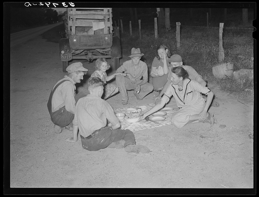
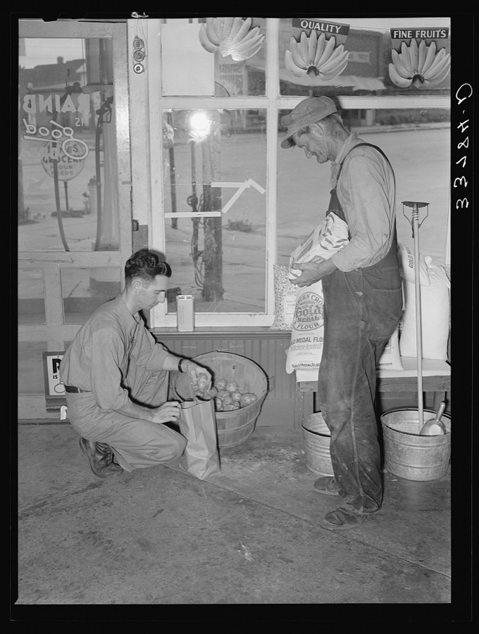
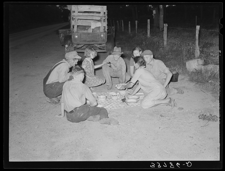
Taken for the Office of War Information and the Farm Security Administration, who photographed the country between 1935 and 1944. Works of United States government photographers, with no known restriction on use. Each opens its catalogue record.




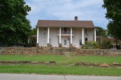
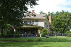
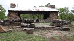
Every property in this county listed on the National Register of Historic Places, with the year it was listed and the federal nomination document.
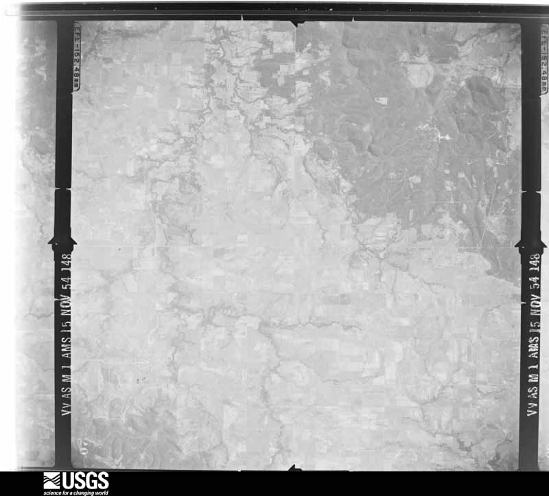
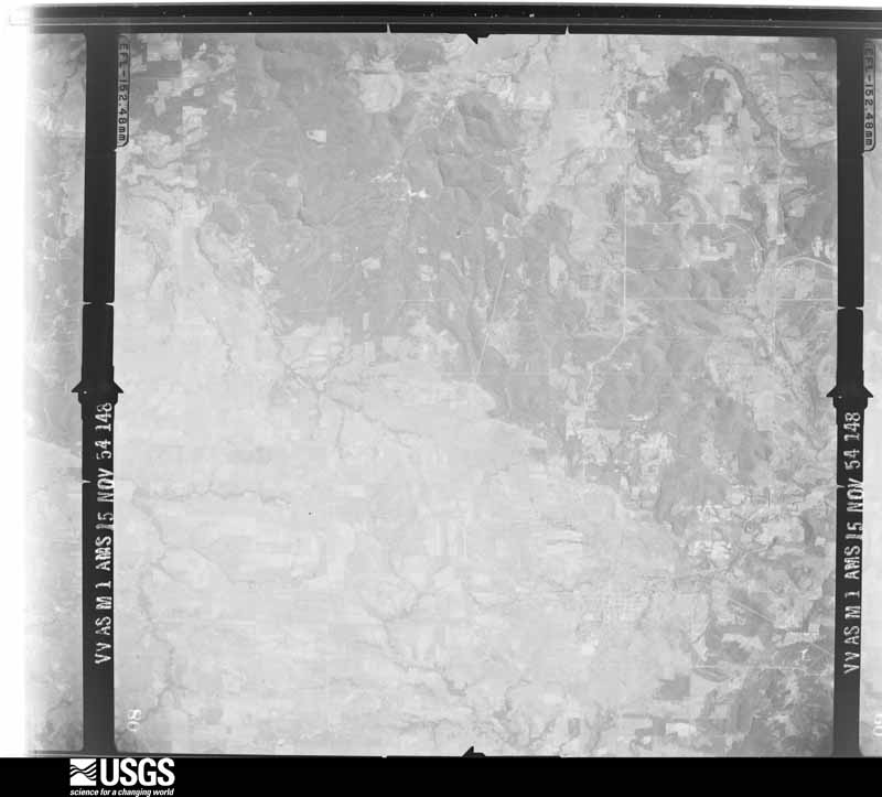
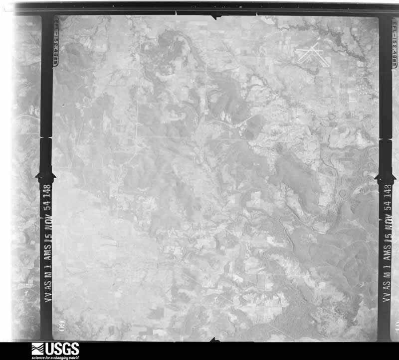
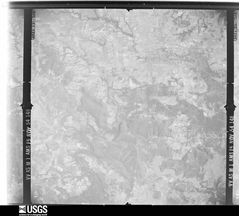
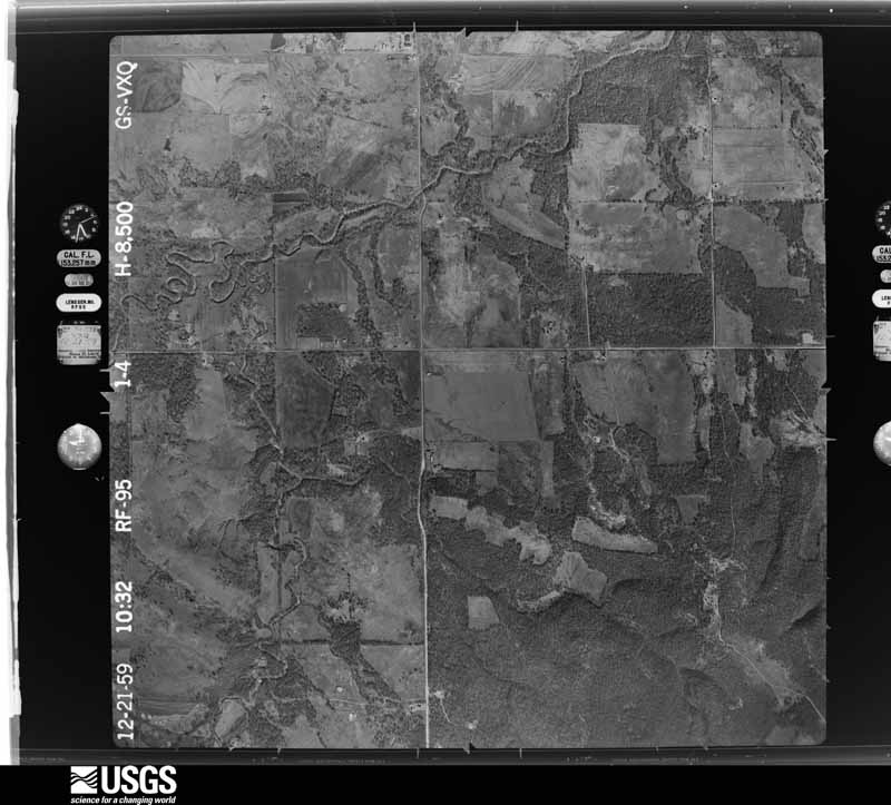
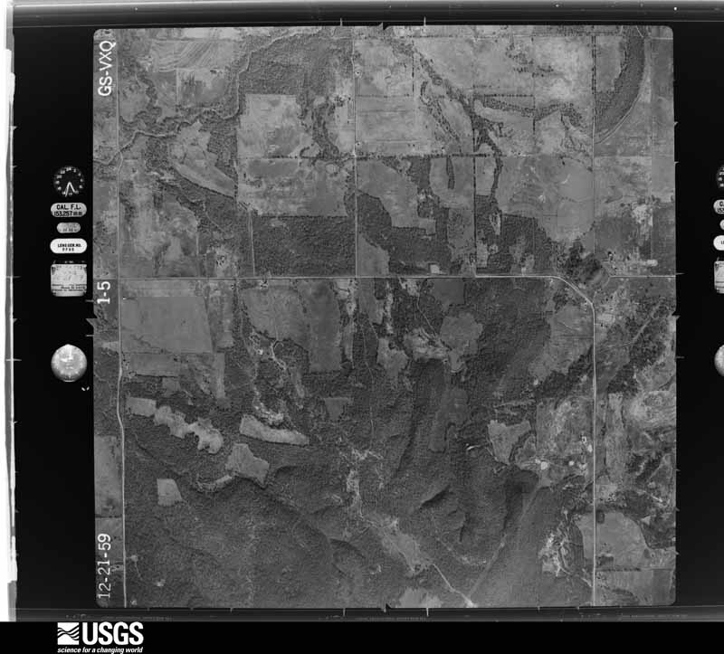
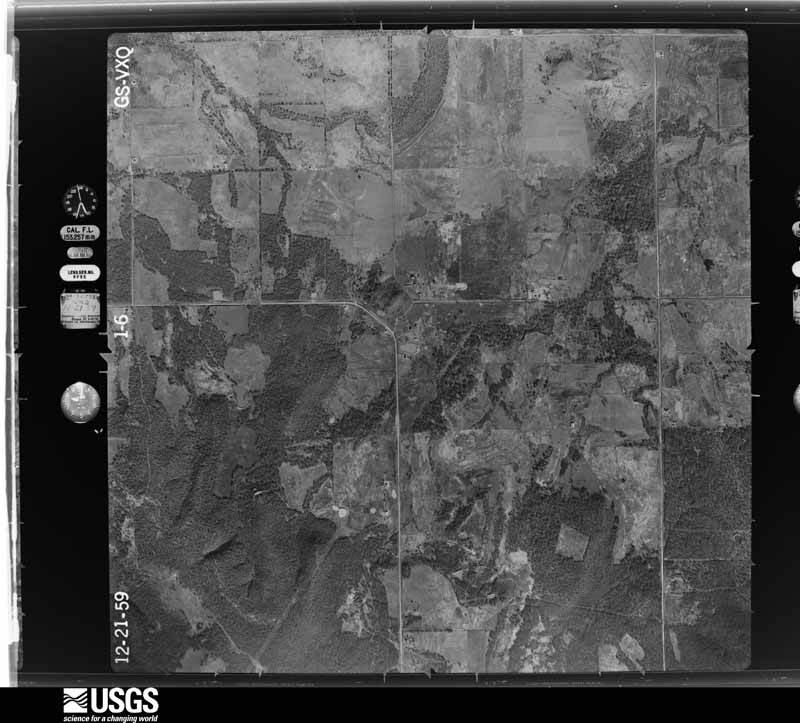
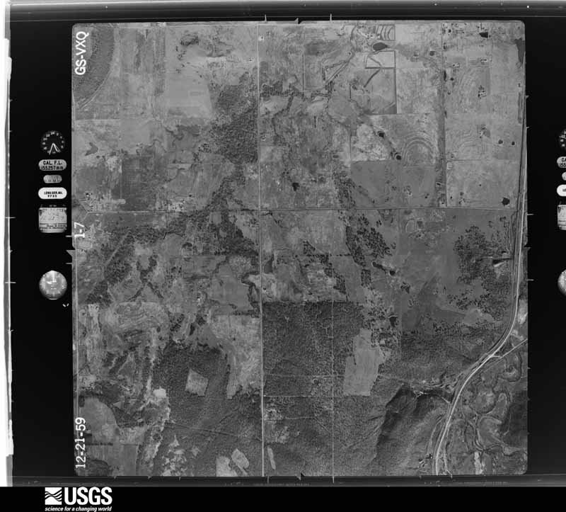
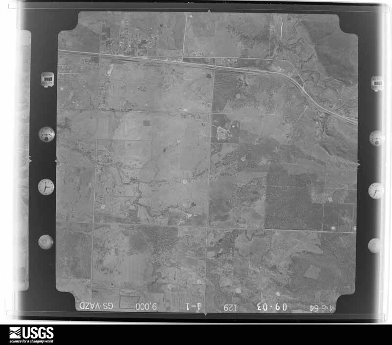
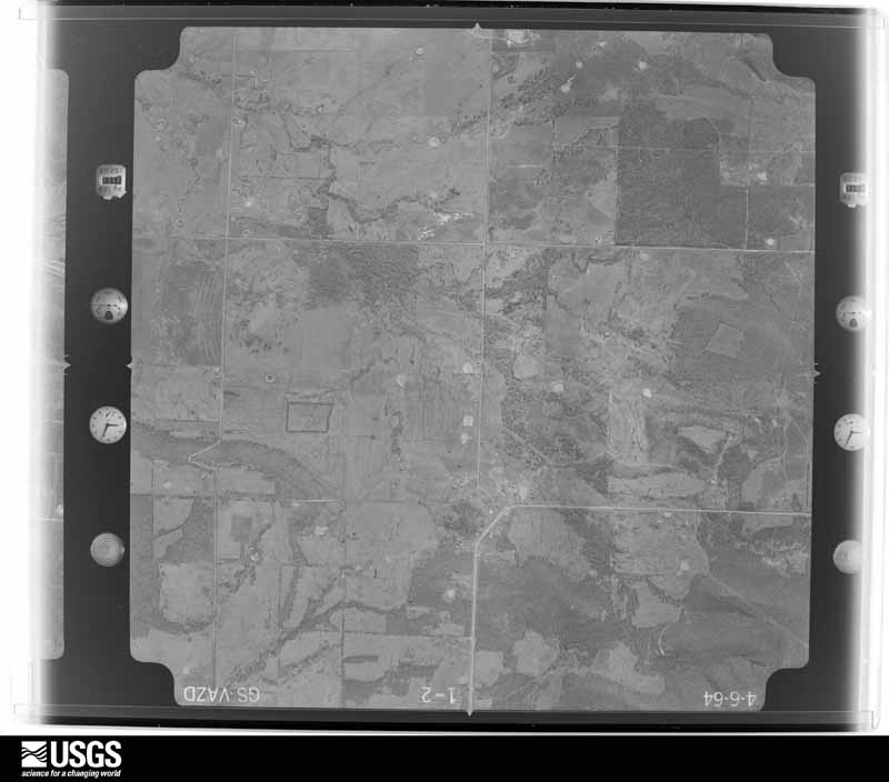
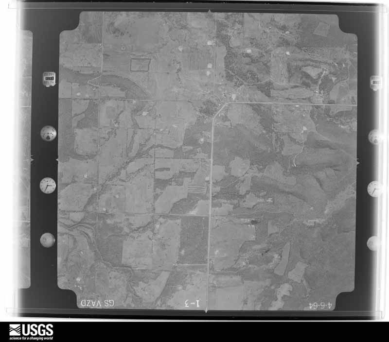
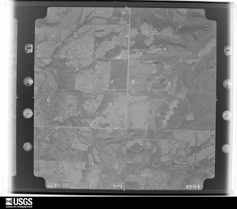
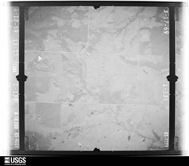
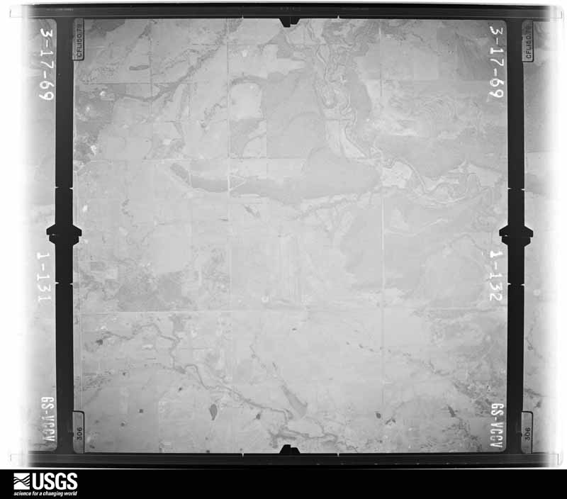
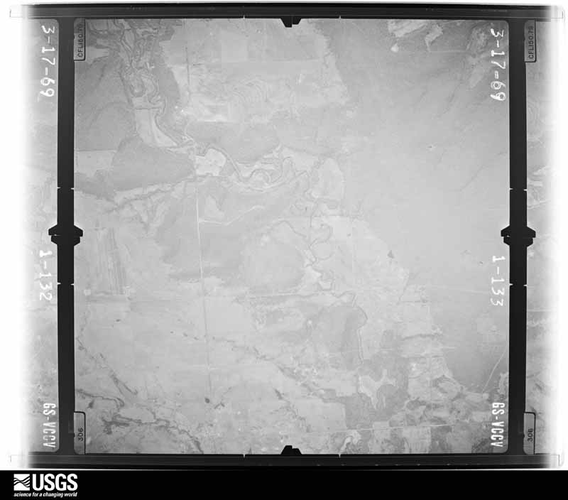
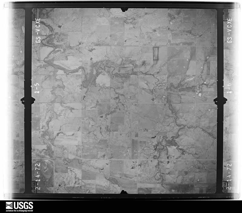
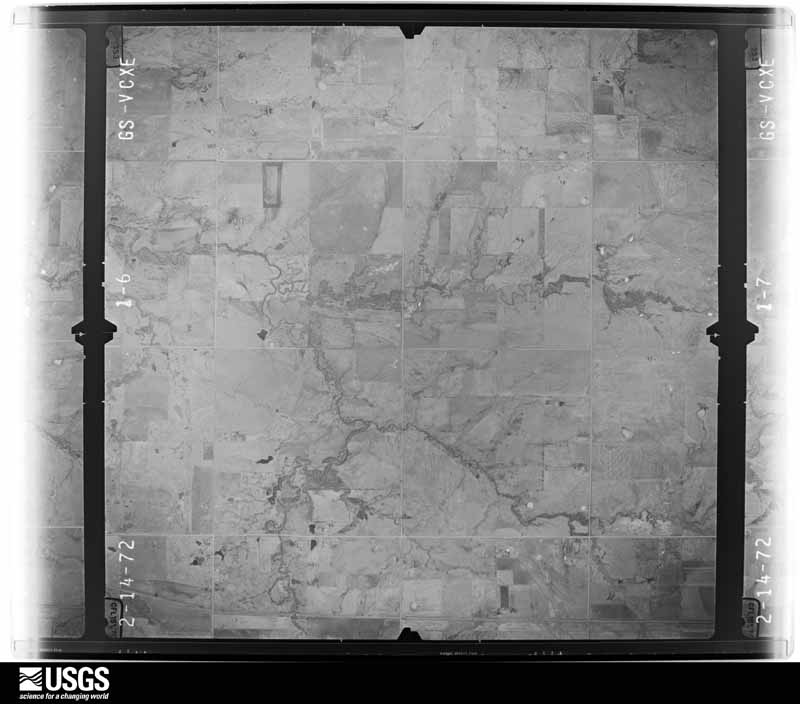
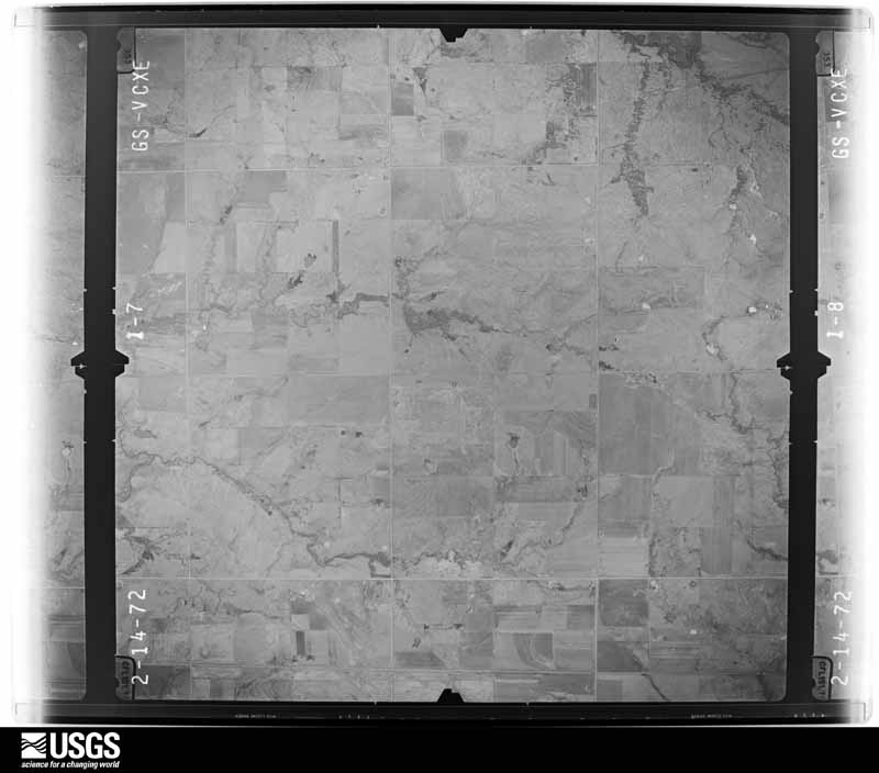
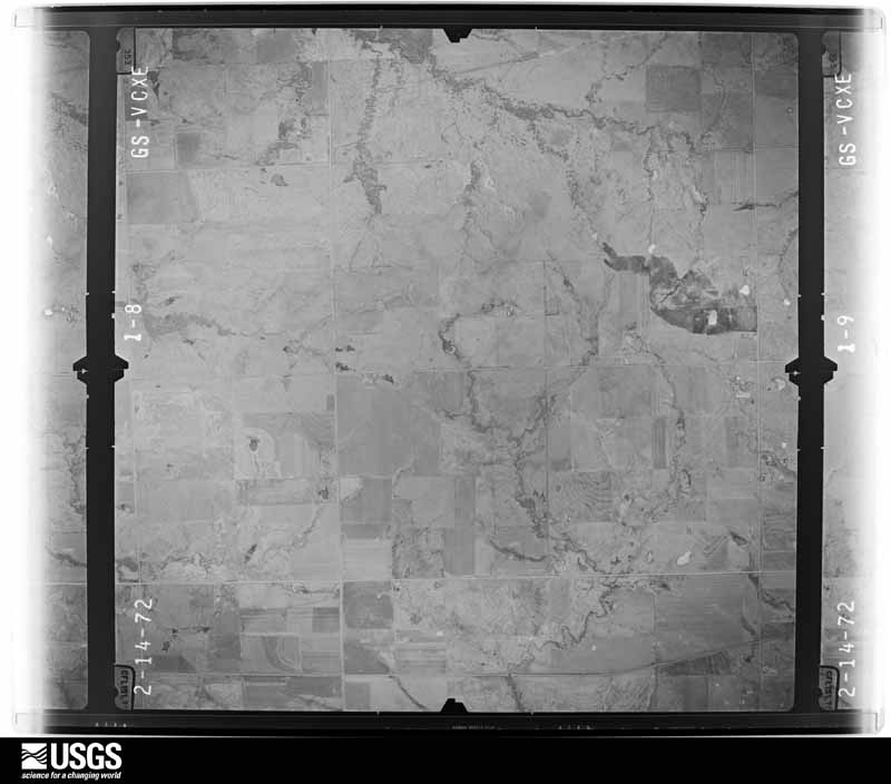
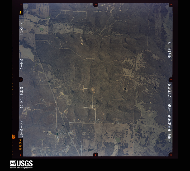
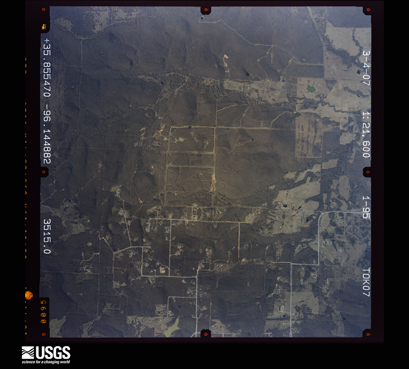
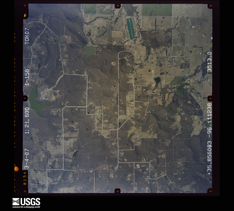
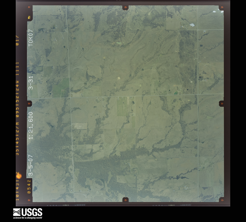
Flown by the U.S. Geological Survey between 1937 and 1989, the Aerial Photo Single Frames collection is the definitive mid-century view of the land: fields, roads and rivers as the camera saw them. The Survey holds 748 frames inside the rectangle that bounds this county; the 24 frames below were taken over the county itself, chosen across the decades of flights (at most four a year from that rectangle), so one flight cannot crowd out the rest. The full set is free to browse and download at EarthExplorer under the dataset Aerial Photo Single Frames.

The thermometers that kept this county's weather, and the gages that measured the flow of its streams, as the federal records hold them. The extremes below are measured values from those records, not estimates.
Who lived here in 1950, one enumeration district at a time, as the Census Bureau described each district. Each row opens its official National Archives result, with Population Schedules and ED Maps available there.
Every wildfire the federal occurrence database records inside this county: 332 of them, burning about 86,878 acres. 6 started naturally and 115 were recorded as arson. Each settlement page carries the fires within five miles of it.
| Reported cause | Fires |
|---|---|
| Arson/incendiarism | 115 |
| Debris and open burning | 96 |
| Missing data/not specified/undetermined | 76 |
| Equipment and vehicle use | 19 |
| Natural | 6 |
| Other causes | 5 |
| Fireworks | 5 |
| Power generation/transmission/distribution | 3 |
| Smoking | 3 |
| Recreation and ceremony | 2 |
| Misuse of fire by a minor | 2 |
The five largest, by the area the report gives. Three of them were set deliberately.
| Date | Cause | Size | Reported by | Name on the report |
|---|---|---|---|---|
| 18 February 2016 | Debris and open burning | 21,860 acres | Okmulgee Field Office | PHAROAH |
| 27 November 2005 | Arson/incendiarism | 9,080 acres | Okmulgee Field Office | DRIPPNGSPR |
| 3 March 2012 | Debris and open burning | 4,058 acres | Okmulgee Field Office | SPANISH PEAK |
| 27 November 2005 | Missing data/not specified/undetermined | 3,500 acres | Deep Fork National Wildlife Refuge | COALTON |
| 18 February 2016 | Missing data/not specified/undetermined | 3,300 acres | Oklahoma Division of Forestry | NUYAKA |
| 24 November 2005 | Arson/incendiarism | 3,020 acres | Okmulgee Field Office | MEADOW |
| 25 March 2006 | Debris and open burning | 2,683 acres | Deep Fork National Wildlife Refuge | BUTTERNUT |
| 9 January 2006 | Arson/incendiarism | 2,000 acres | Okmulgee Field Office | EAST HENRYETTA 2 |
Every settlement page carries the fires within five miles of it - see the settlement index below.
The NOAA Storm Events Database holds 749 reports for this county, causing 13 deaths, 122 injuries and about $42,000,040 in recorded property damage. Each settlement page carries the reports that name it.
| Kind of event | Reports |
|---|---|
| Hail | 332 |
| Thunderstorm Wind | 244 |
| Flash Flood | 82 |
| Tornado | 60 |
| Flood | 26 |
| Funnel Cloud | 3 |
| Lightning | 2 |
The most serious of them, by death, then injury, then recorded damage. The accounts are quoted exactly as the forecast office filed them.
| When | Event | Place named | Harm | What the report says |
|---|---|---|---|---|
| April 1984 | Tornado (F3) | not stated | 8 killed, 95 hurt, $25,000,000 | no account filed |
| May 1960 | Tornado (F3) | not stated | 2 killed, 15 hurt, $250,000 | no account filed |
| March 2026 | Tornado (EF3) | Beggs | 2 killed, 2 hurt, $3,000,000 | This tornado began on the west side of Beggs, directly impacting the Beggs Public Schools campus. The High School and Middle School roof sustained significant damage, and the bus barn also suffered heavy damage to the roof and overhead doors. As it moved northeast, it crossed 15th Street, uprooting and snapping trees. After crossing Happy Camp Road, it destroyed outbuildings and began a brief jog northward, paralleling North 180 Road. This strongest and widest phase of the tornado occurred as it moved east along Grimes Road. One single-wide manufactured home was completely destroyed and several other single-family residences were heavily damaged with the loss of roofs and windows. Two fatalities and two injuries occurred at one homestead, where a double-wide manufactured home was completely destroyed and several automobiles were moved and tossed 20 to 30 yards. A nearby barn was destroyed and heavy limb loss occurred on large trees. The tornado then continued northeast, crossing Highway 75, where it threw a metal shipping container across the lanes and uprooted trees. The tornado dissipated after crossing North 205 Road, about three miles south of the Tulsa County line. Based on this damage, maximum estimated wind in the tornado was 135 to 145 mph. The tornado produced a tornadic debris signature from the KINX WSR-88D. |
| April 1953 | Tornado (F2) | not stated | 1 killed, 4 hurt, $25,000 | no account filed |
| September 1989 | Thunderstorm Wind | not stated | 4 hurt | no account filed |
| February 1961 | Tornado (F3) | not stated | 1 hurt, $2,500,000 | no account filed |
| May 1989 | Thunderstorm Wind | not stated | 1 hurt | no account filed |
| May 1981 | Tornado (F4) | not stated | $2,500,000 | no account filed |
| April 2024 | Tornado (EF1) | Schulter | $2,000,000 | This tornado developed west of Schulter and moved northeast across Highway 75 and the Deep Fork National Wildlife Refuge. It widened and strengthened as it moved across the E1000 Road, where numerous trees were uprooted or snapped. The tornado continued to widen as it approached Morris. At least 70 homes and businesses were damaged in Morris, then the tornado turned to the north and dissipated about a mile north of town. Based on this damage, maximum estimated wind in the tornado was 105 to 110 mph. |
| October 1998 | Hail | Okmulgee | $600,000 | Very large golfball to baseball-sized hail caused extensive damage throughout the city of Okmulgee. The combination of very large hail and strong thunderstorm winds knocked out numerous windows. Several hundred homes and business sustained roof damage. The Okmulgee Times daily newspaper quoted the police chief as saying that the hailstorm "knocked out about half the windows in town." Windows were knocked out of many cars in the Wal-Mart parking lot, and many city vehicles had their windows knocked out. Two buildings at OSU-Okmulgee were extensively damaged. Other buildings on the campus had broken windows, while the campus greenhouse was nearly destroyed by the large hail and wind. The Okmulgee School District alone had about $300,000 in damage. The middle school suffered extensive roof damage and damage to the floor. The Board building suffered extensive glass breakage and roof damage. Fifteen buses received damage, and the steel roof at Eastside was damaged. Westside and Banneker each sustained roof damage, and the high school had minor roof damage to its new building. |
| August 2007 | Flash Flood | Okmulgee | $400,000 | Very heavy rainfall caused severe flooding of roads in and around Okmulgee. Highway 75 was closed in places for several hours. Rural roads were also flooded. In addition, 20 to 30 homes sustained flood damage as well as several businesses. County officials received 200 calls for assistance from stranded motorists and from people isolated by high water in their homes. |
| May 2000 | Flash Flood | North Portion | $300,000 | Heavy rains fell across northern Okmulgee county during the early morning hours on May 6 with 3.30 inches reported at Beggs. Numerous roads were flooded including Highway 75 11 miles north of Preston.10 bridges or large tin horns were washed out with several other roads receiving damage. |
| June 2013 | Flash Flood | Henryetta | $250,000 | Many streets and roads were flooded and closed due to significant flooding. A nursing home and about 25 homes were evacuated due to rising water in Henryetta and about 50 homes were impacted by flooding in Dewar. |
| May 1991 | Tornado (F1) | not stated | $250,000 | no account filed |
| March 1990 | Tornado (F2) | not stated | $250,000 | no account filed |
| September 1989 | Tornado (F1) | not stated | $250,000 | no account filed |
| June 1982 | Tornado (F2) | not stated | $250,000 | no account filed |
| December 1975 | Tornado (F3) | not stated | $250,000 | no account filed |
| May 2010 | Tornado (EF2) | Okmulgee | $200,000 | A tornado severely damaged two homes. It also snapped or uprooted numerous trees, destroyed barns, damaged several other homes, and blew down power poles. The estimated peak wind in the tornado based on this damage was 120 mph. |
| May 1997 | Tornado (F1) | Beggs | $200,000 | no account filed |
| January 1996 | Thunderstorm Wind | Schulter | $200,000 | no account filed |
| October 1998 | Flash Flood | Countywide | $193,000 | In Morris, several streets were flooded. In Okmulgee, the railroad underpass near McDonald's on US Hwy 75 was closed. The only road in and out of the small community of Quail Creek was washed out, leaving residents of the community stranded. Schools in Beggs were closed. |
| May 1997 | Tornado (F2) | Beggs | $160,000 | no account filed |
| May 2010 | Tornado (EF2) | Henryetta Arpt | $150,000 | A tornado developed southwest of Henryetta, moved east-northeast across Henryetta Lake then turned sharply northeast before dissipating northeast of Dewar. The tornado destroyed a mobile home near Lake Henryetta. The tornado also damaged several homes, another mobile home and a boat dock, snapped or uprooted numerous trees and blew down power poles. The estimated peak wind in the tornado based on this damage was 115 mph. |
| June 2023 | Thunderstorm Wind | Nuyaka | $111,000 | Thunderstorm wind resulted in at least $111,000 in damage to the utility infrastructure across the county during this severe thunderstorm. |
| June 2021 | Flash Flood | Murdell | $100,000 | Flood waters affected eleven homes. Multiple swift water rescues were conducted. |
| June 2018 | Thunderstorm Wind | Okmulgee | $100,000 | A line of severe thunderstorms produced damaging wind across much of the City of Okmulgee. Numerous trees were uprooted, homes were damaged, storage buildings were destroyed, and businesses were damaged. |
| May 2003 | Tornado (F1) | Henryetta | $100,000 | A tornado touched down southwest of Henryetta and moved northeast crossing Interstate 40 before dissipating on the west side of the city. Twenty homes in Henryetta suffered roof damage. One business had aluminum siding ripped off of it. Numerous trees were also blown down in Henryetta making several streets impassable. |
| March 2025 | Tornado (EF1) | Henryetta Arpt | $80,000 | This tornado developed west of the S 210 Road and south of the E 111 Road, where large tree limbs were snapped. It moved northeast across Henryetta Golf and Country Club uprooting and snapping numerous trees, and damaging outbuildings. It then crossed Lake Road, where homes were damaged, outbuildings were destroyed, and trees were uprooted. The tornado dissipated east of Lake Road and north of Country Club Road. Based on this damage, maximum estimated wind in the tornado was 90 to 100 mph. |
| March 2025 | Tornado (EF1) | Morris Arpt | $75,000 | This tornado developed west of the N 270 Road and north of Gun Club Road, where an RV was rolled and large tree limbs were snapped. It moved east-northeast across the N 280 Road, where the roof of a home was damaged, and several power poles were snapped. The tornado then crossed Smith Road, blowing down power poles and damaging a home. It moved northeast across Highway 52 snapping large tree limbs and damaging the roof of another home before dissipating. Based on this damage, maximum estimated wind in the tornado was 90 to 95 mph. |
| April 2024 | Tornado (EF1) | Morris | $75,000 | This tornado developed just east of Morris and moved northeast. The tornado widened, and turned north-northeast, just north of the E930 Road, and then turned northeast near the E910 Road, and dissipated east of the N4080 Road. Numerous trees were snapped or uprooted, numerous power poles were snapped, several homes were damaged, and several outbuildings were destroyed along the path of this tornado. Based on this damage, maximum estimated wind in the tornado was 100 to 110 mph. |
| September 2023 | Hail | Blackstone Mine | $75,000 | Hail larger than baseball size damaged homes, businesses, and vehicles. |
| April 2022 | Hail | Okmulgee | $75,000 | Hen egg size hail damaged homes, businesses, and vehicles. |
| April 2022 | Hail | Okmulgee | $75,000 | Hen egg size hail damaged homes, businesses, and vehicles. |
| May 2006 | Tornado (F1) | Beggs | $75,000 | A tornado damaged several homes, destroyed a couple outbuildings, snapped and uprooted trees, and blew down signs. |
| April 1999 | Flash Flood | Countywide | $70,000 | Numerous streets and county roads were flooded. There was a culvert washout between Beggs and US Hwy 75 that isolated several familes. There was one other bridge washout and three other county roads that were closed by flooding. 221st Street between Peoria and Lewis was impassable. In Henryetta, two people had to be rescued from a pickup after it stalled in chest-high water on a county road. |
| April 2022 | Hail | Okmulgee | $50,000 | Golf ball size hail damaged homes, businesses, and vehicles. |
| December 2015 | Flood | Morris | $50,000 | Portions of Highway 62 east of Morris were closed due to roadway damage resulting from extensive flooding. |
| May 2019 | Hail | Okmulgee | $50,000 | no account filed |
| May 1999 | Thunderstorm Wind | Henryetta | $45,000 | Strong winds blew a roof completely off of a muffler shop in the 900 block of North Frisco. The roof hit a power feeder and knocked off power to a large part of the city. One of the businesses's doors was blown off as well. Several businesses reported windows blown out by the storm, and numerous trees and tree limbs were blown down. |
| March 2025 | Tornado (EF1) | Henryetta | $40,000 | This tornado developed south of New Lake Road and east of the S 230 Road, where trees were snapped. It moved northeast across I-40, crossed Holly Road damaging outbuildings, and then Arbeka Road, where large tree limbs were snapped. It then dissipated north of Holly Road and east of Arbeka Road. Based on this damage, maximum estimated wind in the tornado was 90 to 95 mph. |
| September 2023 | Hail | Blackstone Mine | $40,000 | Golf ball size hail damaged homes, businesses, and vehicles on the west side of Henryetta. |
| May 1997 | Tornado (F1) | Preston | $40,000 | no account filed |
| May 1997 | Tornado (F1) | Preston | $40,000 | no account filed |
| September 2023 | Hail | Beggs | $35,000 | Hail was measured to 2.25 inches south of Beggs. The large hail damaged homes and vehicles. |
| May 2008 | Tornado (EF0) | Nuyaka | $35,000 | A tornado destroyed a small barn, damaged a mobile home, and blew down numerous trees and power lines. |
| September 2023 | Hail | Preston | $30,000 | Hail larger than golf ball size damaged homes and vehicles near Preston. |
| September 2023 | Hail | Beggs | $30,000 | Golf ball size hail damaged homes, businesses, and vehicles on the west side of Beggs. |
| April 2019 | Tornado (EF0) | Bald Hill | $30,000 | This tornado damaged a mobile home, damaged barns and outbuildings, and uprooted trees. It was observed by a number of people. Based on the damage, maximum estimated wind in the tornado was 80 to 85 mph. |
| May 2006 | Thunderstorm Wind | Hector | $30,000 | Thunderstorm wind damaged several homes and uprooted numerous trees in a two to three mile wide swath. An amateur radio operator measured a 78 mph wind gust near Hectorville associated with this storm. |
| May 1998 | Lightning | Henryetta | $30,000 | Lightning struck a TV antenna and set fire to a residence in Henryetta. The home was about a 50 percent loss. |
| May 2019 | Hail | Okmulgee | $30,000 | no account filed |
| March 1997 | Thunderstorm Wind | Okmulgee | $30,000 | no account filed |
| October 1998 | Thunderstorm Wind | Nuyaka | $28,000 | The school in Nuyaka had some roof damage where the metal was torn off and twisted. Sheet metal from barns and sheds lay on the ground. A church had its steeple blown away. A trailer had sheet metal peeled up on it, and the barn that stood in front of it was demolished. The Nuyaka Store lost its sign to the wind. |
| March 2024 | Hail | Schulter | $25,000 | Hail larger than golf ball size damaged vehicles and homes. |
| April 2024 | Tornado (EF1) | Murdell | $25,000 | This tornado snapped or uprooted numerous trees, damaged an outbuilding, damaged the roofs of a couple homes, and blew down power poles. Based on this damage, maximum estimated wind in the tornado was 100 to 110 mph. |
| July 2024 | Hail | Beggs | $25,000 | Ping pong ball size hail damaged homes and vehicles. |
| April 2022 | Hail | Beggs | $25,000 | Ping pong ball size hail damaged homes and vehicles. |
| May 2019 | Tornado (EF1) | Bald Hill | $25,000 | This tornado damaged a home, destroyed an outbuilding, snapped and uprooted trees, and blew down power poles as it moved north-northeast. Based on this damage, maximum estimated wind in the tornado was 95 to 105 mph. |
| June 2018 | Thunderstorm Wind | Morris | $25,000 | Strong thunderstorm wind damaged barns, uprooted trees, snapped large tree limbs, and damaged the roofs of homes in and around Morris. |
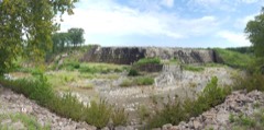
The Survey's mineral resources record lists 28 workings inside this county. 4 still produce and 24 are closed or unrecorded. Each settlement page carries the workings within five miles of it.
| Commodity | Workings |
|---|---|
| Stone, Crushed/Broken | 13 |
| Sand and Gravel, Construction | 10 |
| Clay | 5 |
The least common of them first, because a county's hundredth gravel pit says nothing its first ten did not.
| Where | Site | Commodity | Status | Recorded |
|---|---|---|---|---|
| Unknown Shale Pit | Clay | Past Producer | ||
| Unknown Shale Pit | Clay | Past Producer | ||
| Unknown Shale Pit | Clay | Past Producer | ||
| Unknown Shale Pit | Clay | Past Producer | ||
| Unknown Shale Pit | Clay | Past Producer | ||
| County Sand Pit | Sand and Gravel, Construction | Producer | ||
| Unknown Sand Pit | Sand and Gravel, Construction | Past Producer | ||
| Unknown Sand Pit | Sand and Gravel, Construction | Past Producer | ||
| Unknown Sand Pit | Sand and Gravel, Construction | Past Producer | ||
| Unknown Sand Pit | Sand and Gravel, Construction | Past Producer | ||
| Unknown Sand Pit | Sand and Gravel, Construction | Past Producer | ||
| Unknown Sand Pit | Sand and Gravel, Construction | Producer | ||
| Unknown Sand Pit | Sand and Gravel, Construction | Past Producer | ||
| Unknown Sand Pit | Sand and Gravel, Construction | Producer | ||
| Unknown Sand Pit | Sand and Gravel, Construction | Past Producer | ||
| Sapphire Stone Co Limestone Pit | Stone, Crushed/Broken | Producer | ||
| Sapphire Stone Co Limestone Pit | Stone, Crushed/Broken | Past Producer | ||
| Unknown Limestone Pit | Stone, Crushed/Broken | Past Producer | ||
| Unknown Sandstone Pit | Stone, Crushed/Broken | Past Producer | ||
| Unknown Sandstone Pit | Stone, Crushed/Broken | Past Producer | ||
| Unknown Sandstone Pit | Stone, Crushed/Broken | Past Producer | ||
| Unknown Sandstone Pit | Stone, Crushed/Broken | Past Producer | ||
| Unknown Sandstone Pit | Stone, Crushed/Broken | Past Producer | ||
| Unknown Sandstone Pit | Stone, Crushed/Broken | Past Producer | ||
| Unknown Sandstone Pit | Stone, Crushed/Broken | Past Producer | ||
| Unknown Sandstone Pit | Stone, Crushed/Broken | Past Producer | ||
| Unknown Sandstone Pit | Stone, Crushed/Broken | Past Producer | ||
| Unknown Sandstone Pit | Stone, Crushed/Broken | Past Producer |
Named settlements recorded in the Geographic Names Information System, each with the topographic sheets covering it. Villages, hamlets and abandoned places alike. Each is shown with the nearest named watercourse or landform and the survey quadrangle it falls on. The 5 places that were also surveyed for fire insurance come first, with the number of atlases and photographs held for them.
Beggs census division · 74421 · Beggs quadrangle
11 sheets, 1901 to 1990
Fire insurance: 3 atlases
Henryetta census division · 74437 · Henryetta quadrangle
16 sheets, 1900 to 1978
Fire insurance: 3 atlases
Henryetta census division · 74437 · Near Bald Knob · Henryetta quadrangle
16 sheets, 1900 to 1978
Fire insurance: 6 atlases
Morris census division · 74445 · Morris quadrangle
14 sheets, 1896 to 1978
Fire insurance: 2 atlases
Okmulgee census division · 74447 · Okmulgee South quadrangle
14 sheets, 1896 to 1978
Fire insurance: 11 atlases
Morris census division · 74447 · Near Twin Hills · Okmulgee NE quadrangle
15 sheets, 1896 to 1978
Okmulgee census division · 74447 · On Okmulgee Creek · Okmulgee South quadrangle
14 sheets, 1896 to 1978
Beggs census division · 74421 · On Checkerboard Creek · Nuyaka quadrangle
11 sheets, 1901 to 1990
Henryetta census division · 74437 · On Coal Creek · Henryetta quadrangle
16 sheets, 1900 to 1978
Henryetta census division · 74437 · On Coal Creek · Henryetta quadrangle
16 sheets, 1900 to 1978
Beggs census division · 74047 · On Eagle Creek · Spanish Peak quadrangle
15 sheets, 1896 to 1978
Okmulgee census division · 74421 · On Flat Rock Creek · Beggs quadrangle
11 sheets, 1901 to 1990
Morris census division · 74445 · On Coal Creek · Okmulgee NE quadrangle
15 sheets, 1896 to 1978
Henryetta census division · 74437 · On Burgess Creek · Okmulgee South quadrangle
14 sheets, 1896 to 1978
Henryetta census division · 74437 · On Coal Creek · Henryetta quadrangle
16 sheets, 1900 to 1978
14 topographic sheets and 11 fire insurance atlases, 1894 to 1949
16 topographic sheets and 6 fire insurance atlases, 1904 to 1949
11 topographic sheets and 3 fire insurance atlases, 1914 to 1932
16 topographic sheets and 3 fire insurance atlases, 1914 to 1928
14 topographic sheets and 2 fire insurance atlases, 1915 to 1935