Block
From the record
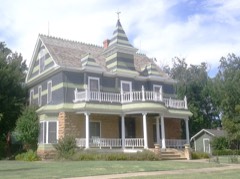
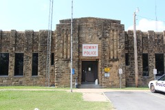
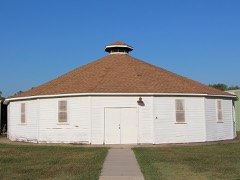
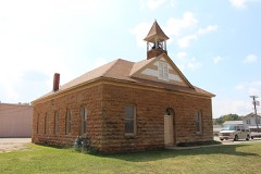
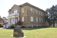
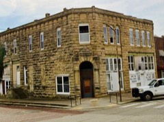
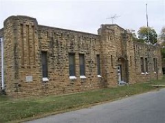
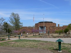
23 National Register listings published here.
Sources: the National Register database, National Park Service
90 topographic sheets and 30 fire insurance atlases across 8 places.
23 National Register listings published here.
Sources: the National Register database, National Park Service
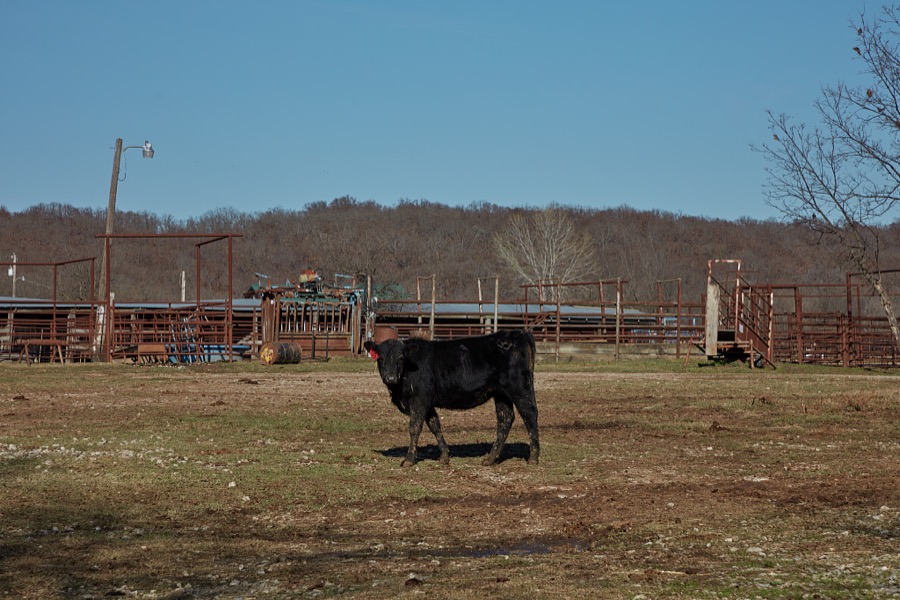
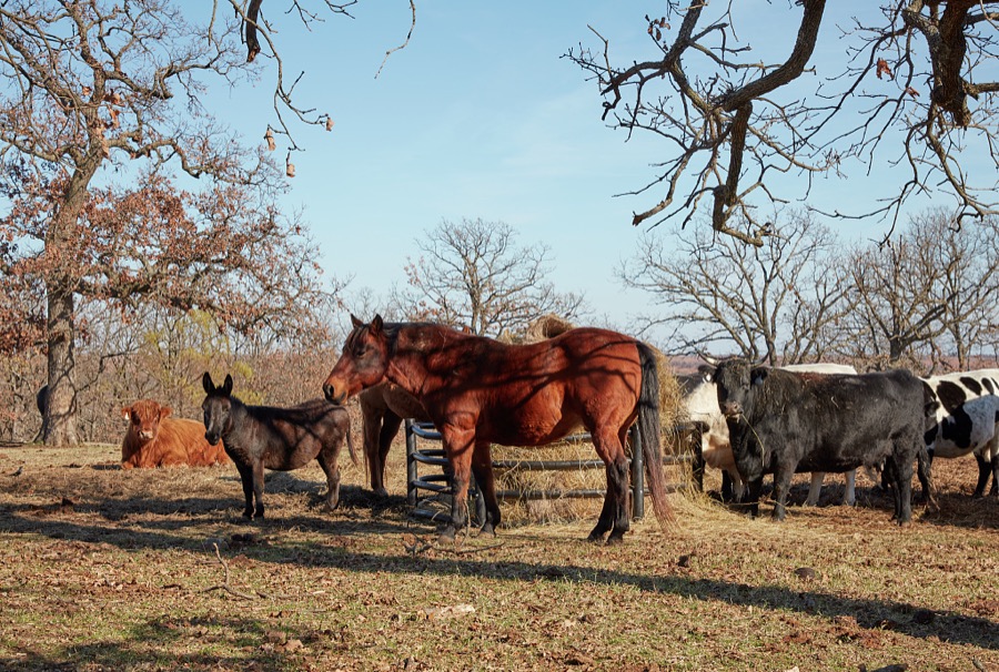
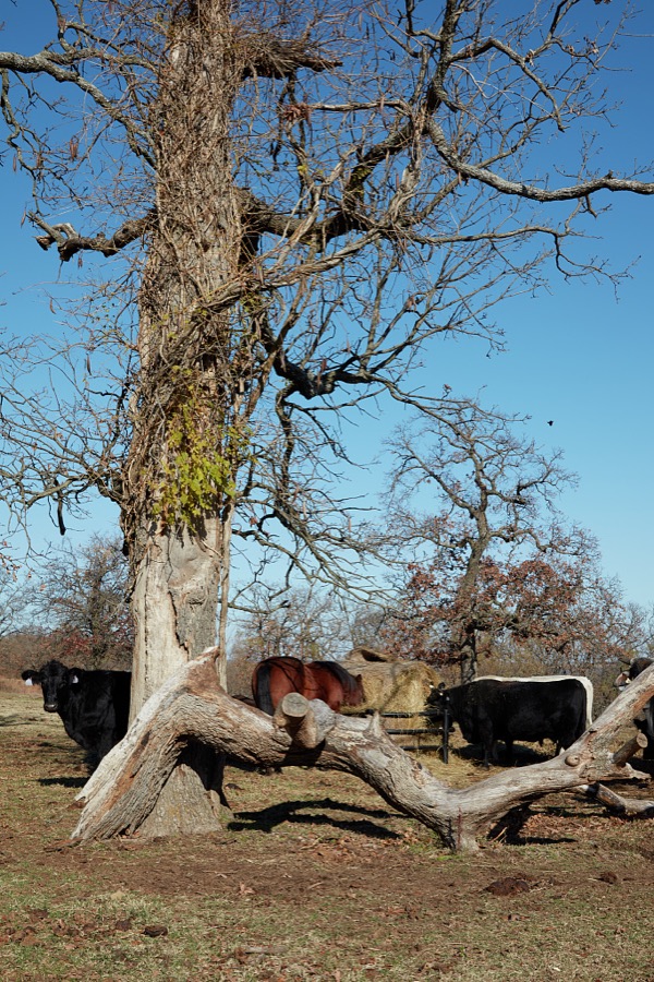
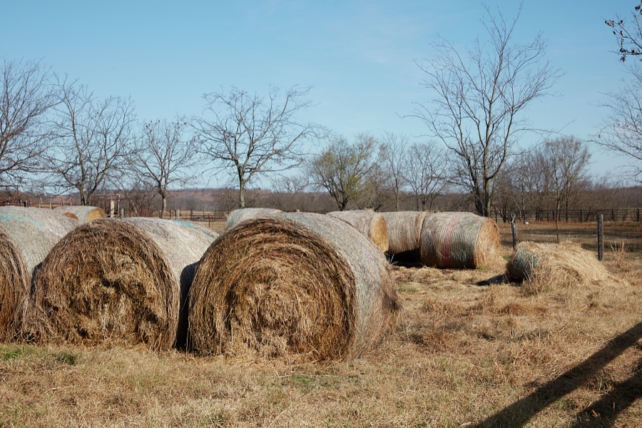
Taken for the Office of War Information and the Farm Security Administration, who photographed the country between 1935 and 1944. Works of United States government photographers, with no known restriction on use. Each opens its catalogue record.

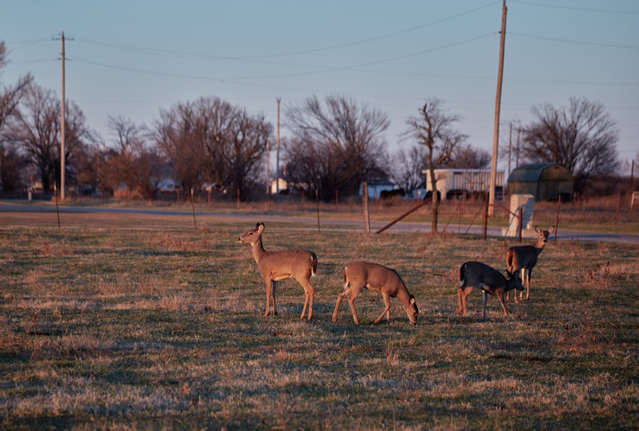
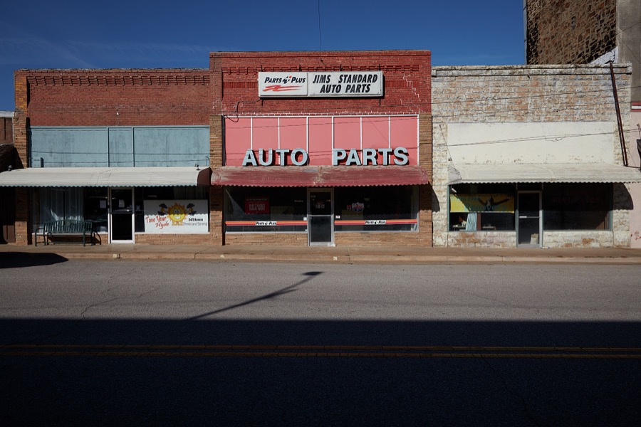
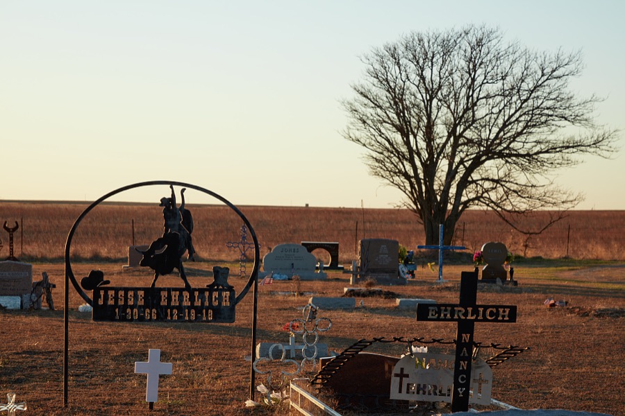
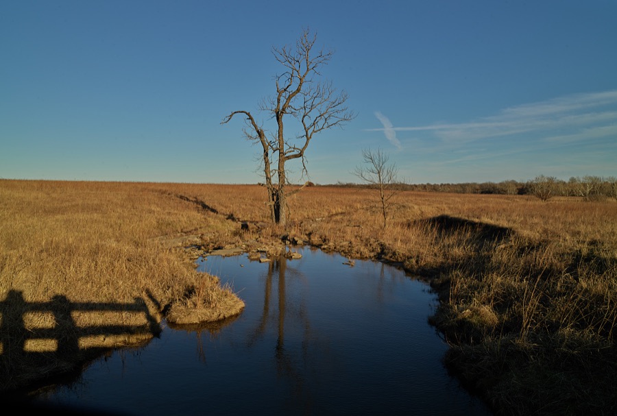

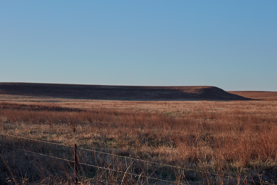
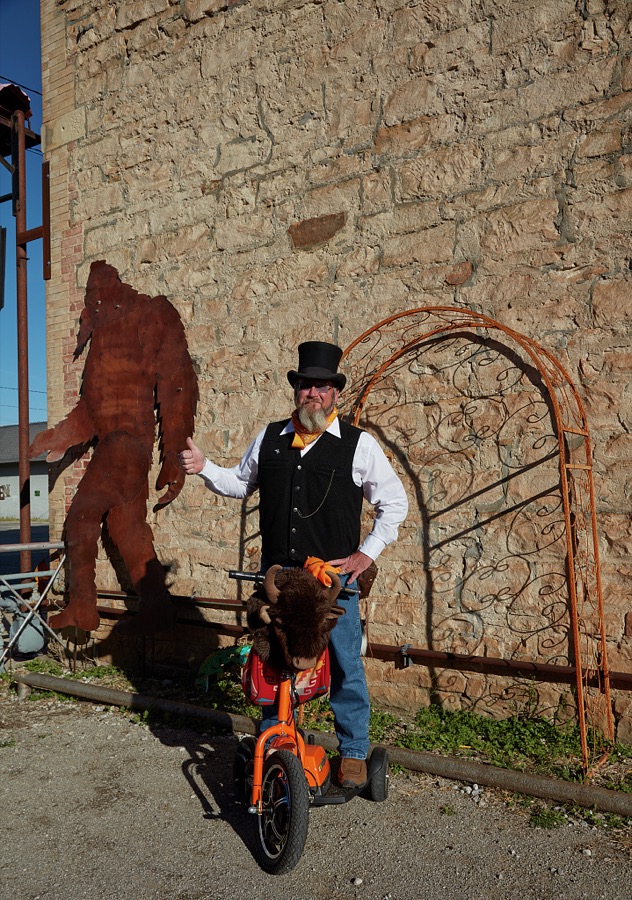
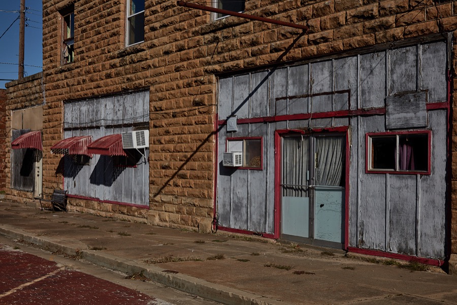


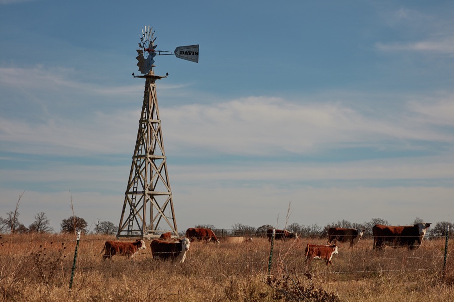
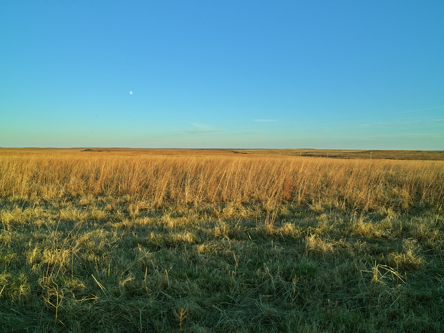
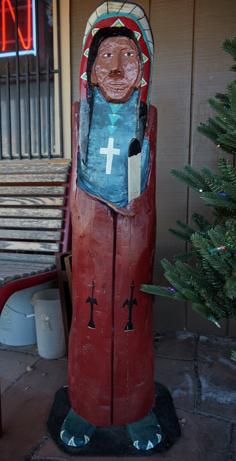



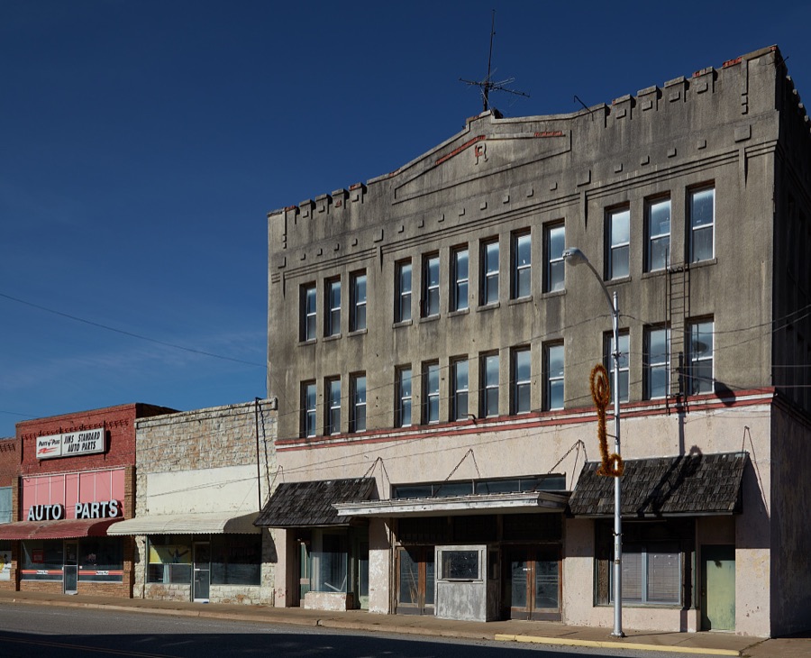
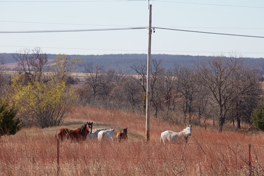


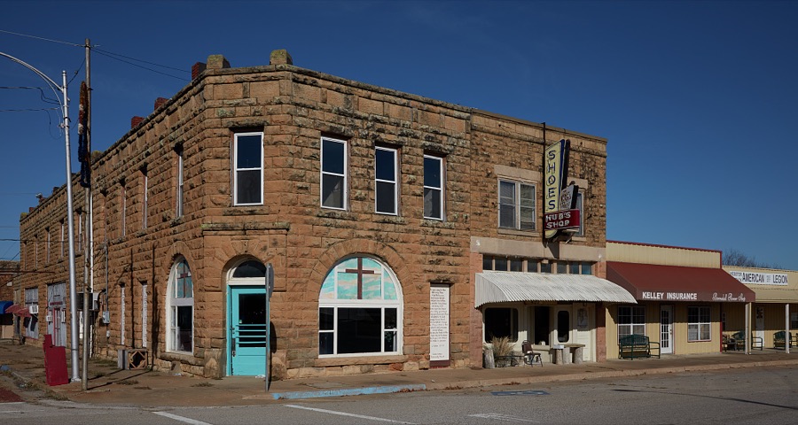
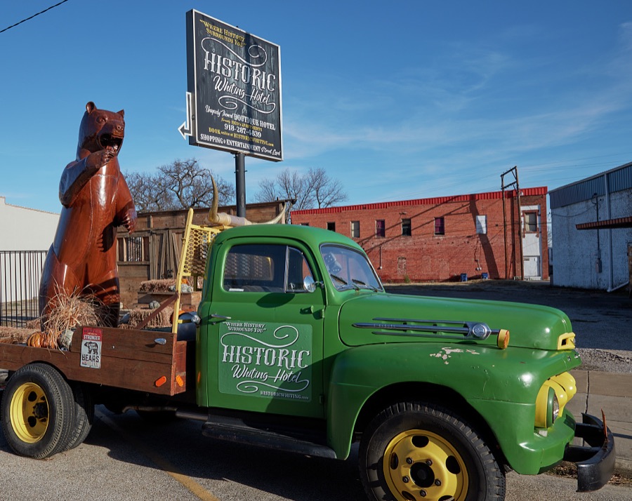

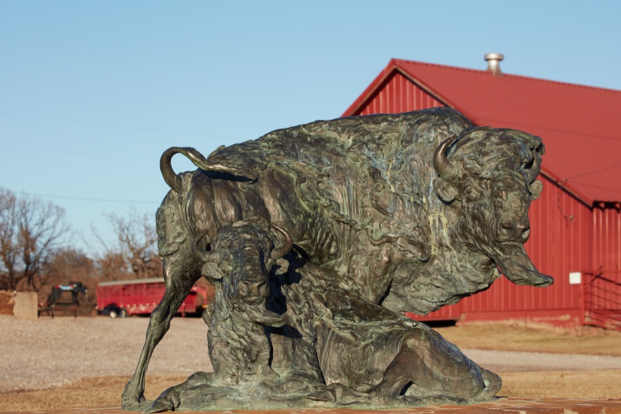
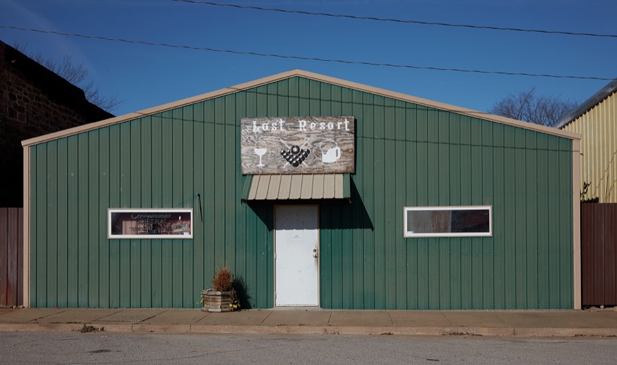
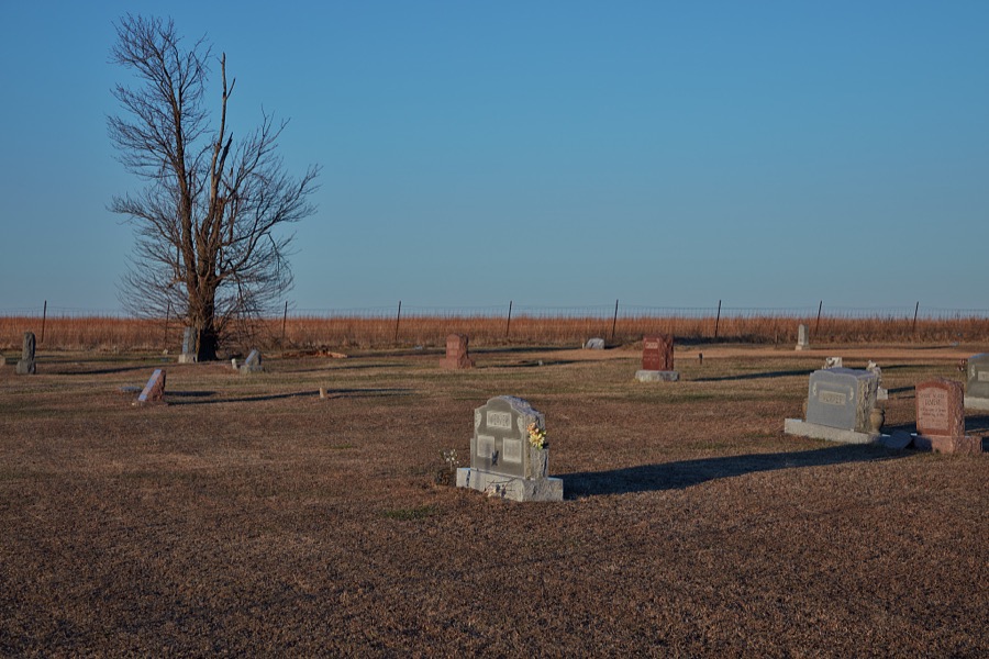
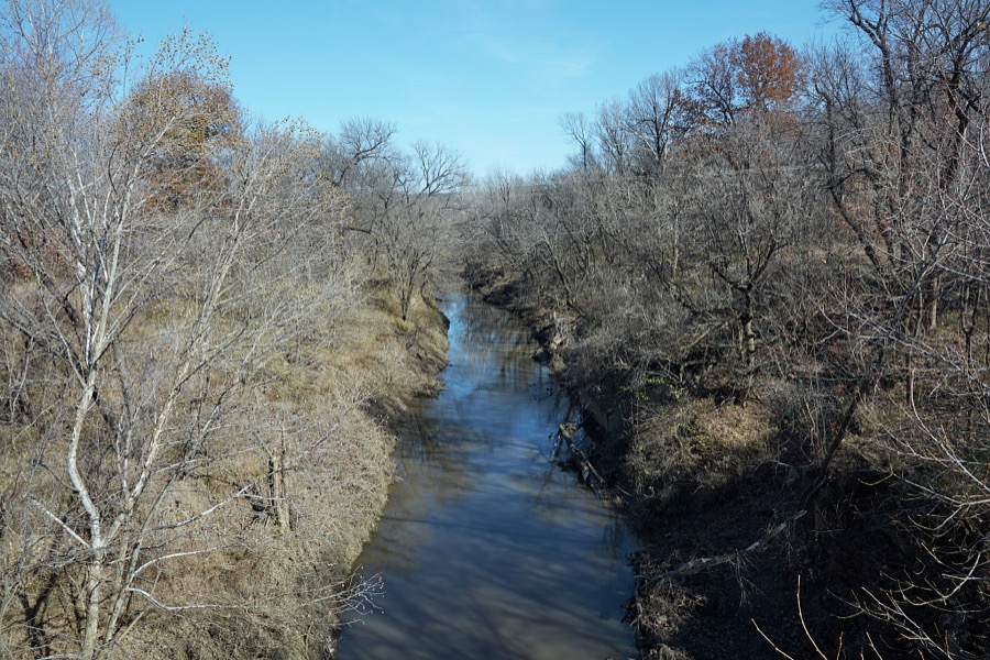
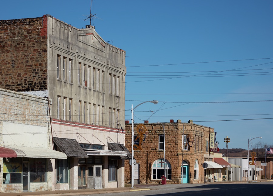
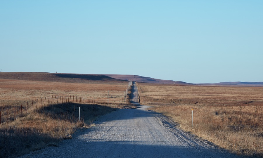
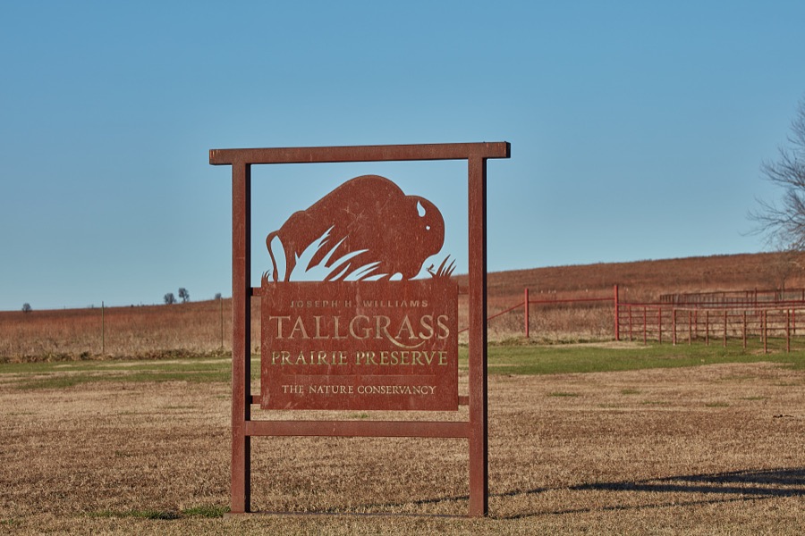

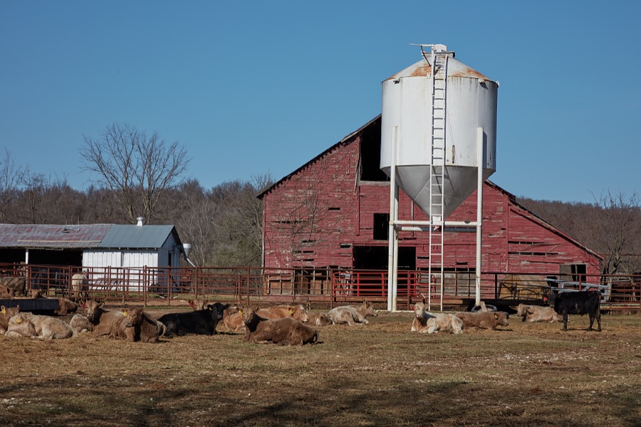
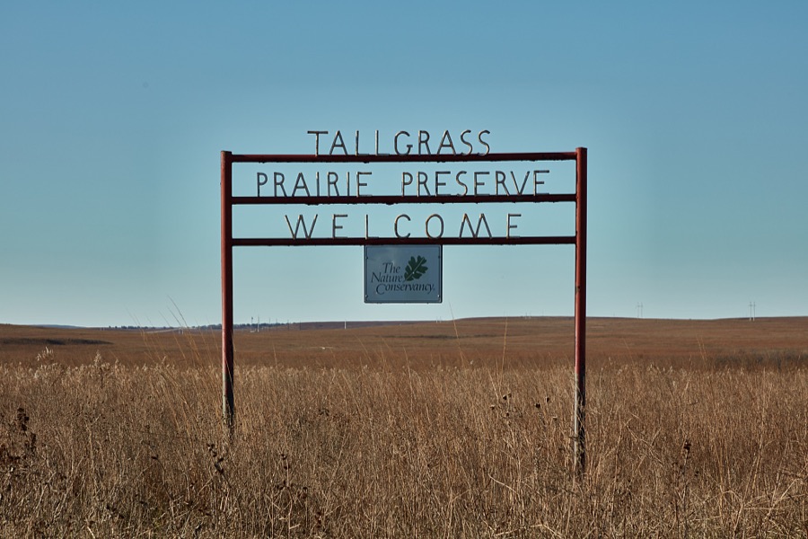
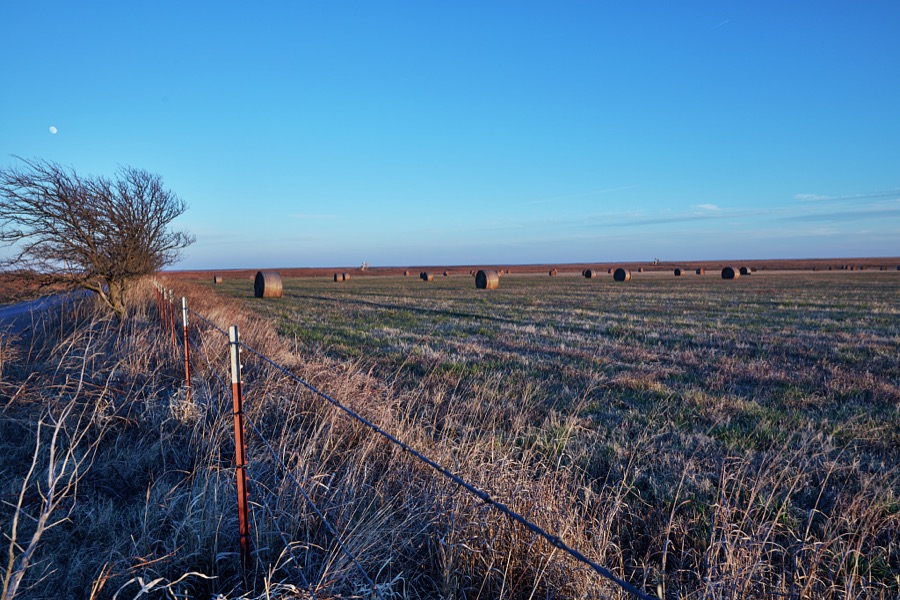
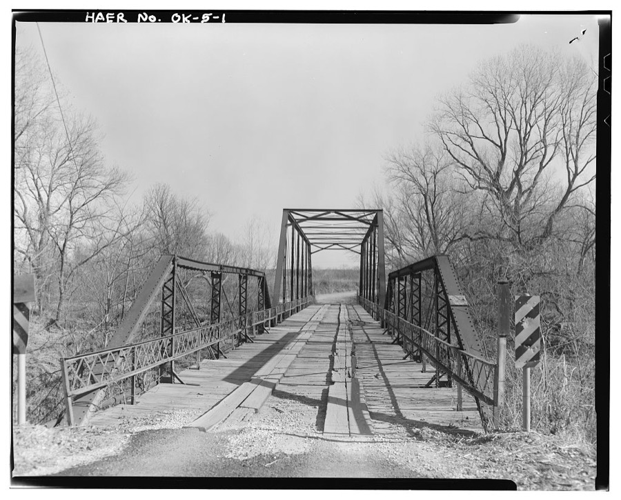
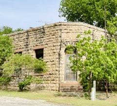
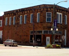
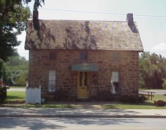
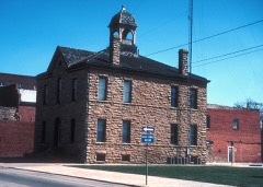
Every property in this county listed on the National Register of Historic Places, with the year it was listed and the federal nomination document.
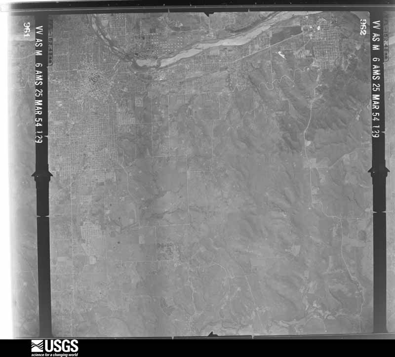
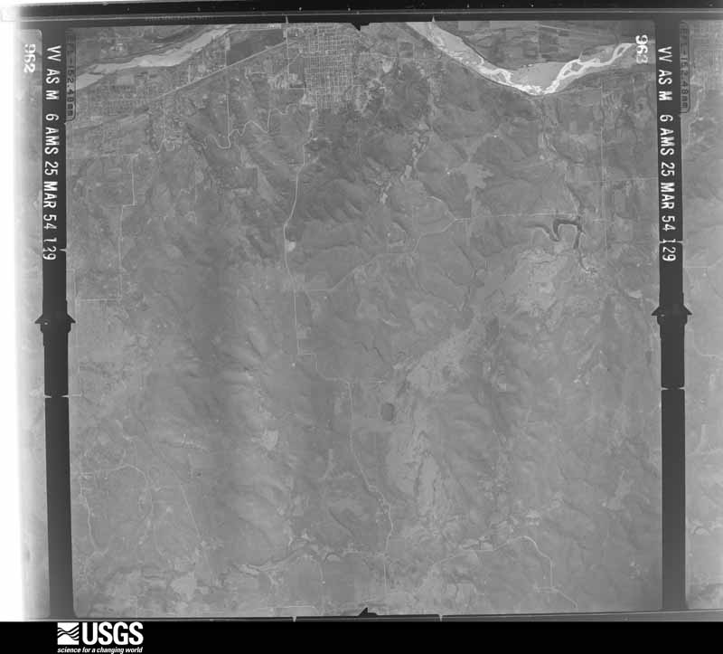
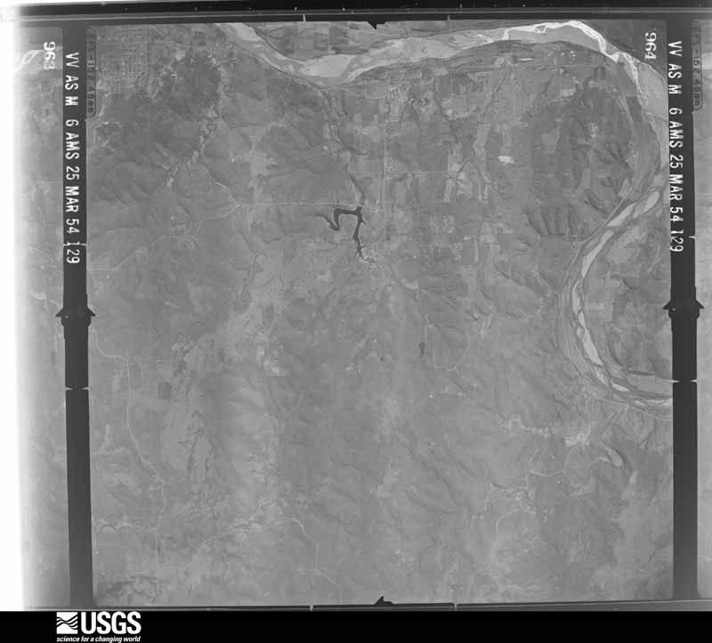
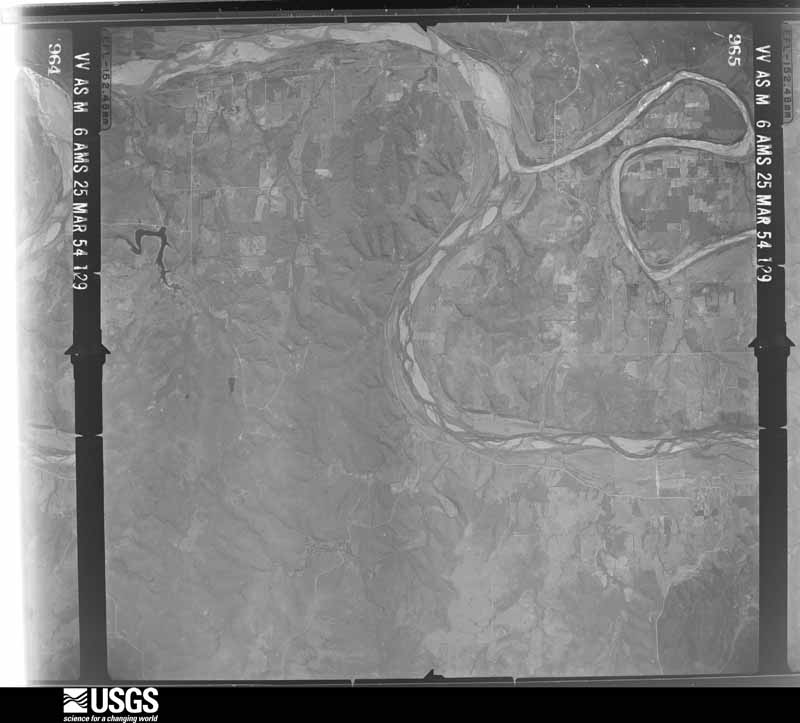
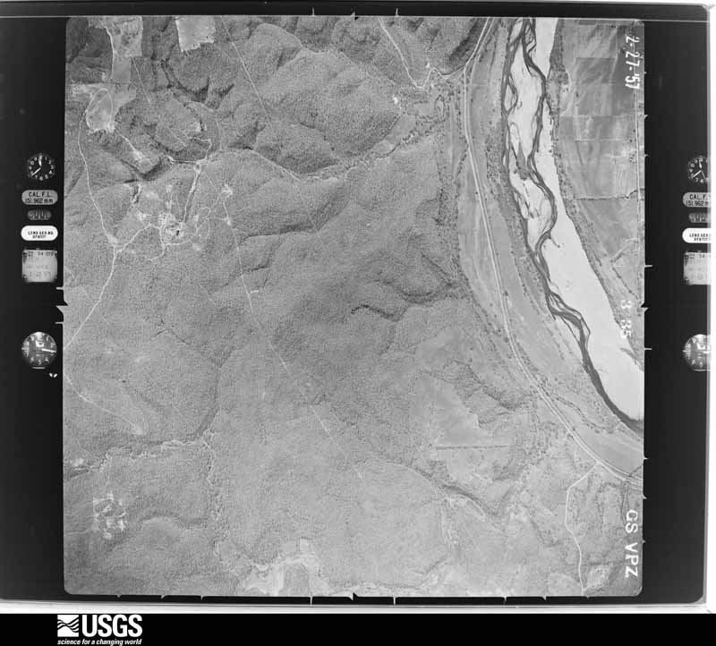
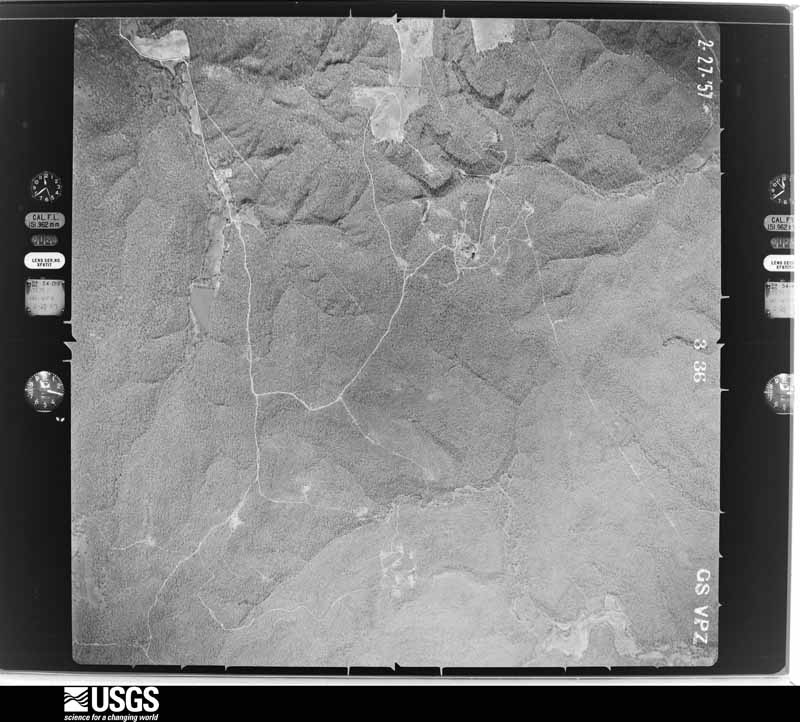
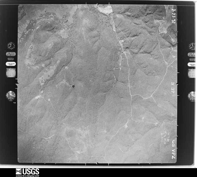
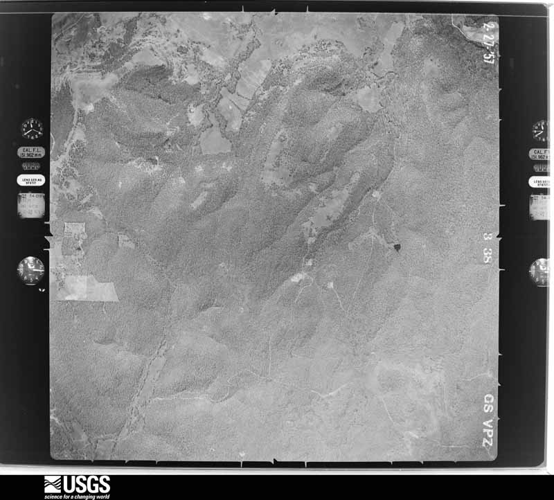
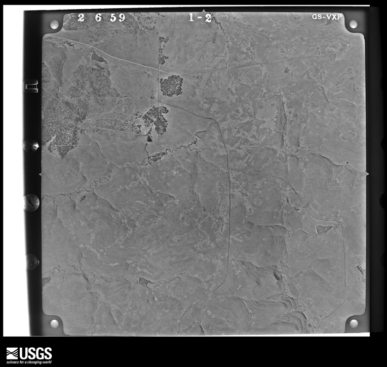
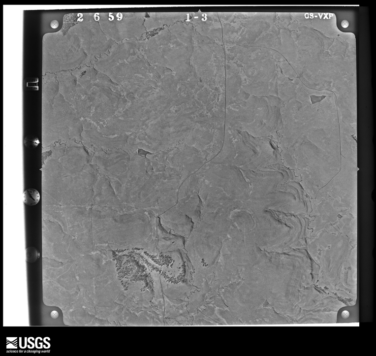
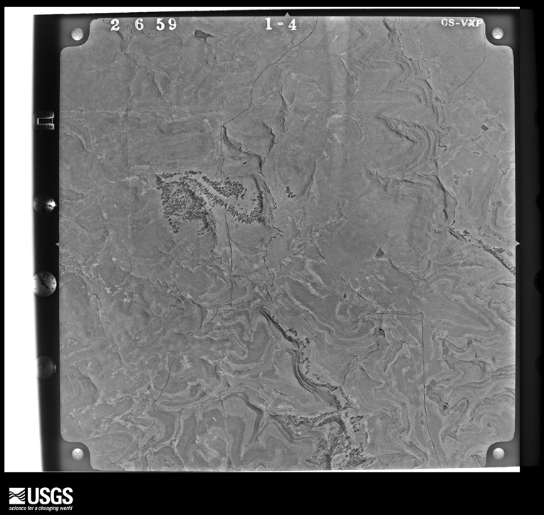
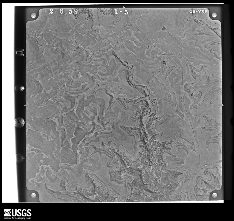
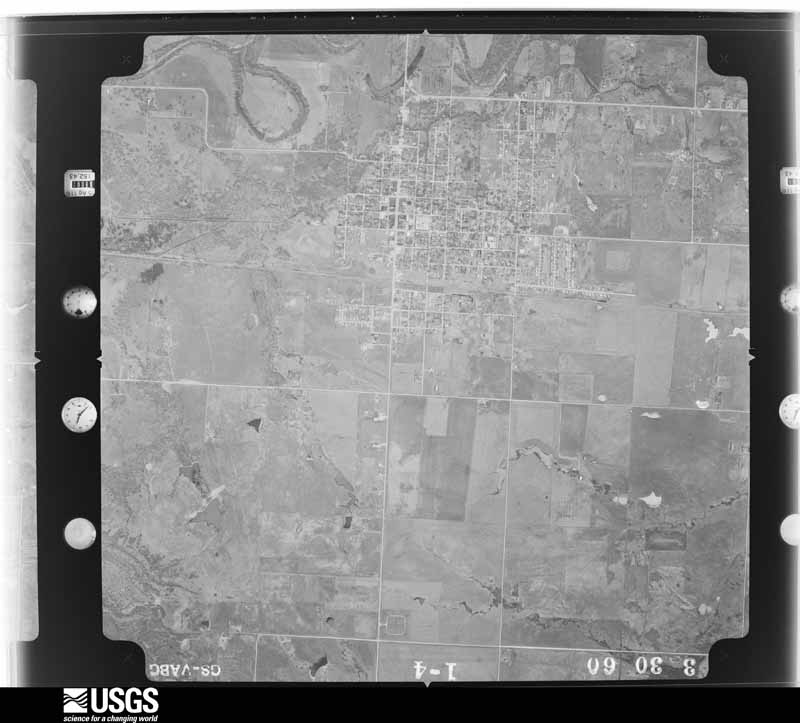
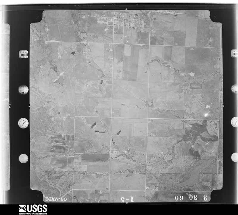
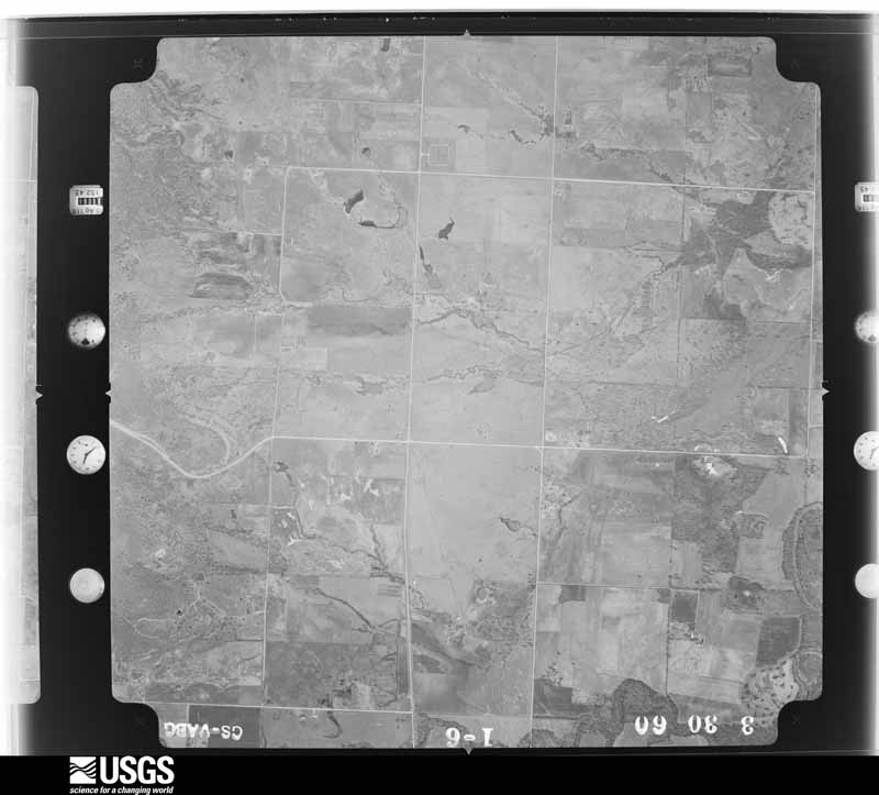
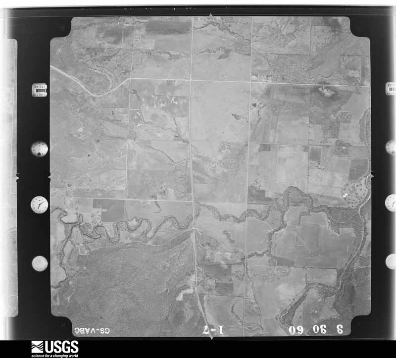
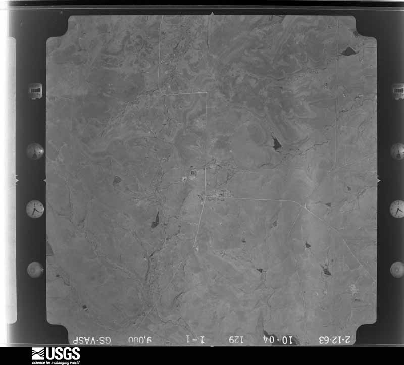
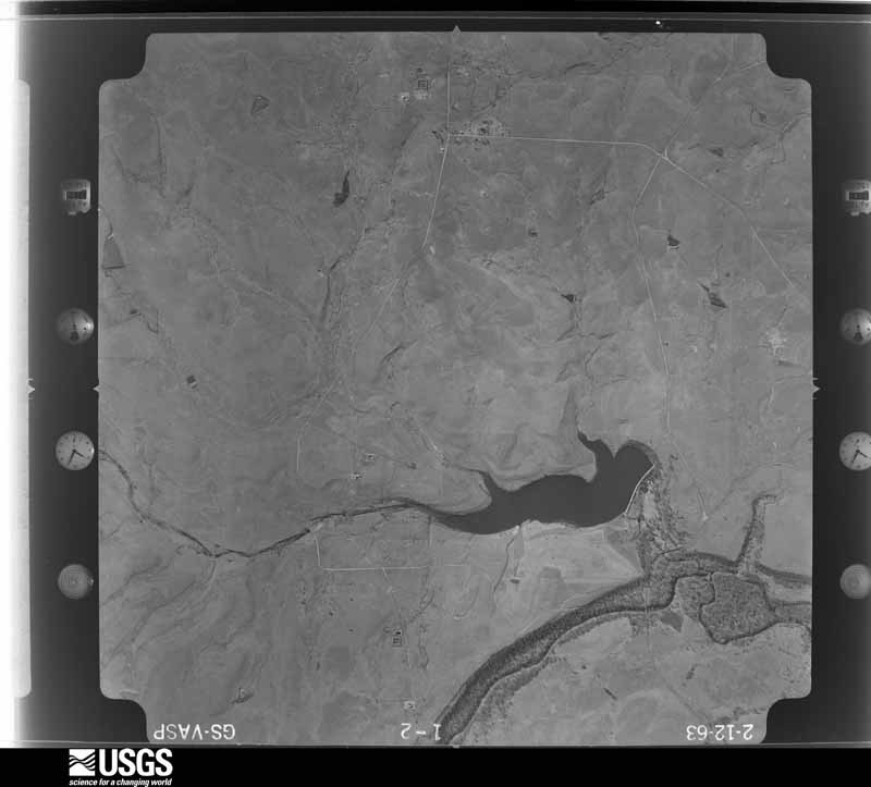
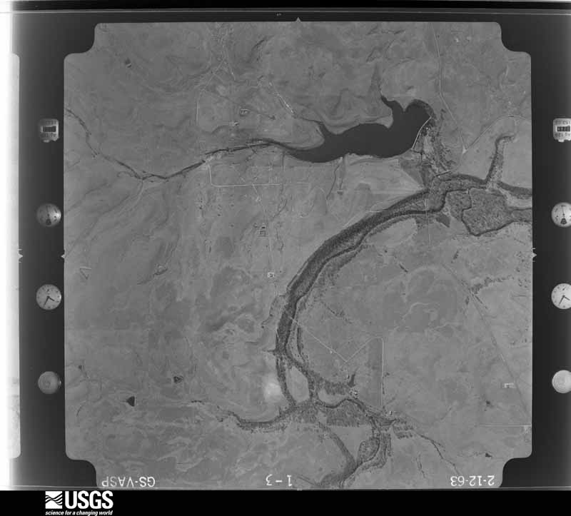
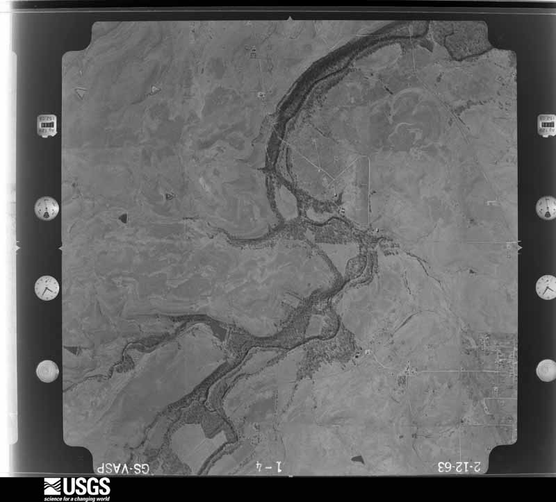
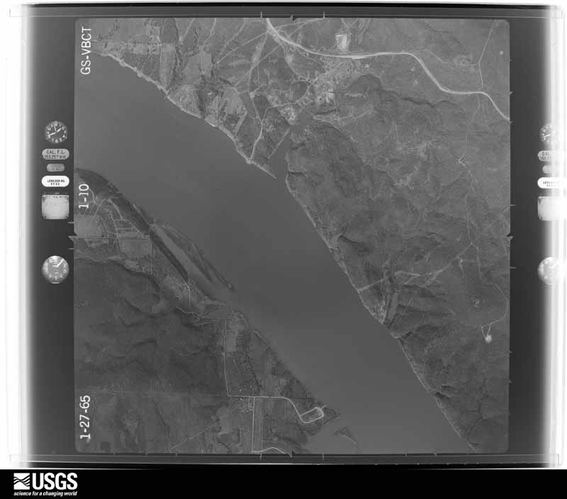
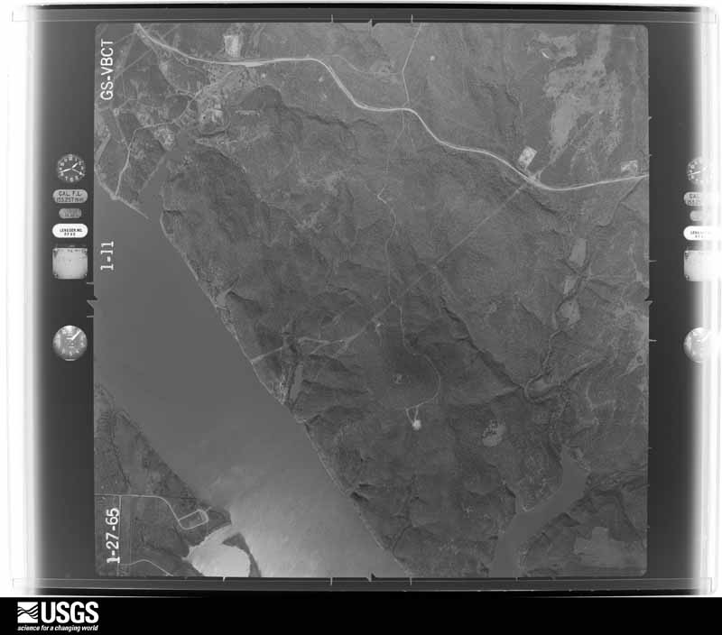
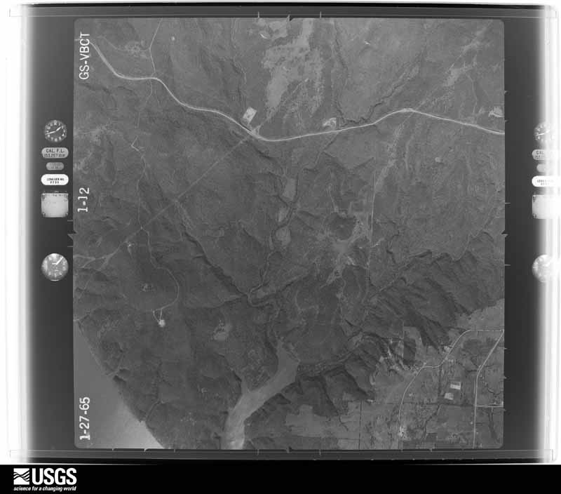
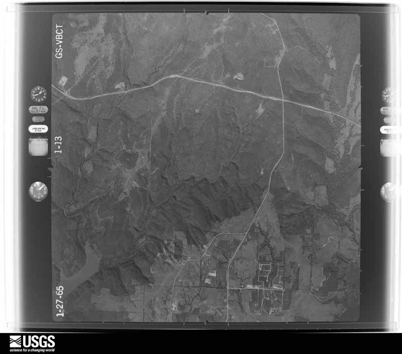
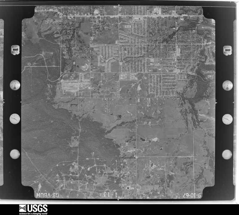
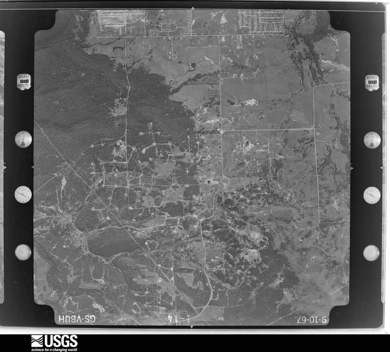
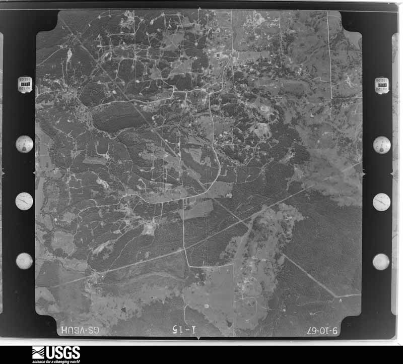
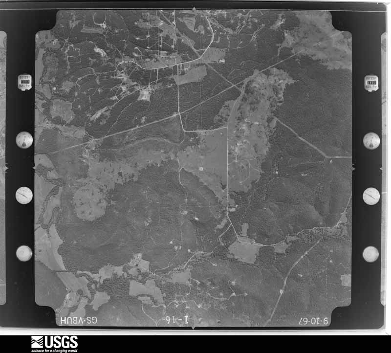
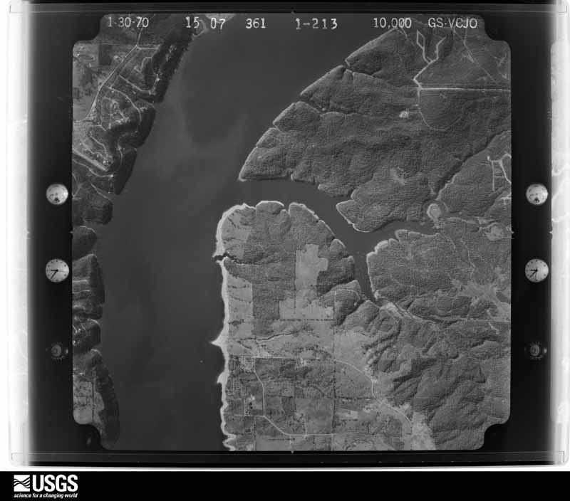
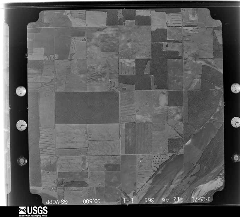
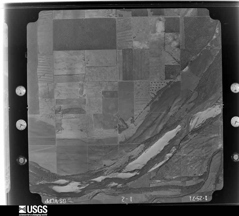
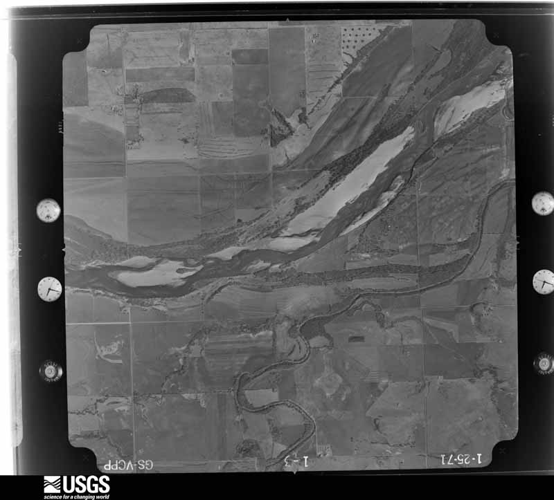
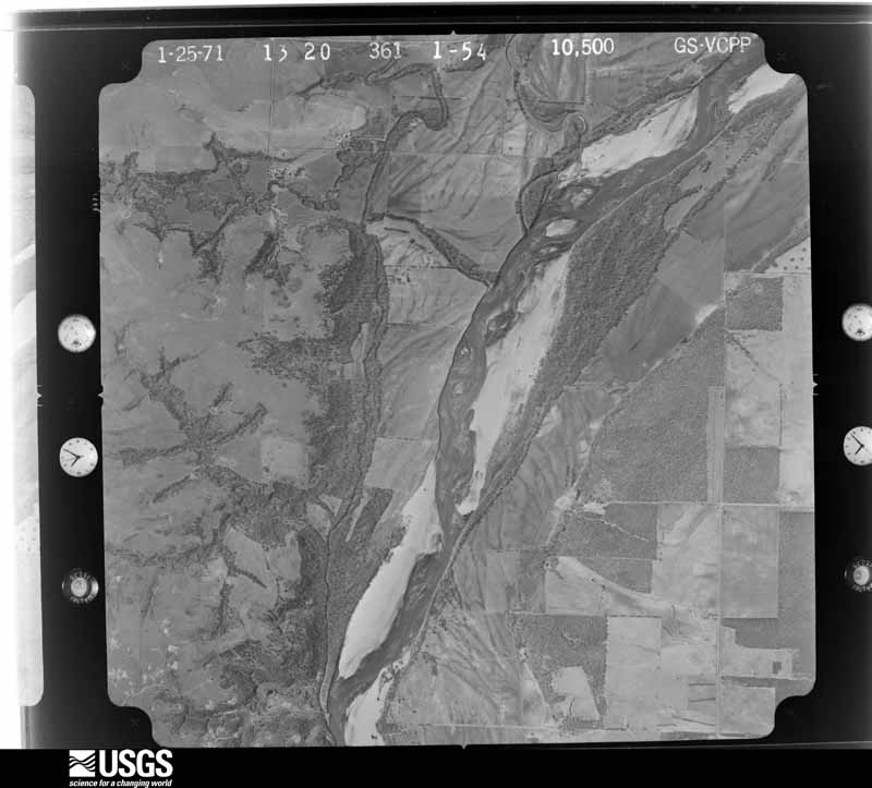
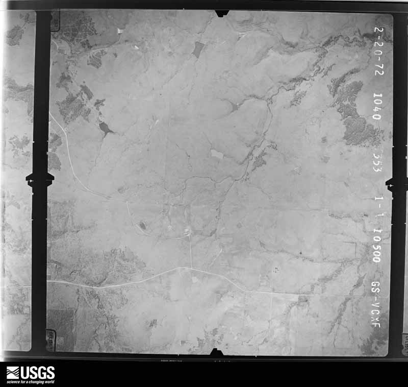
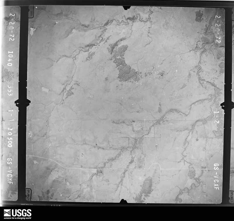
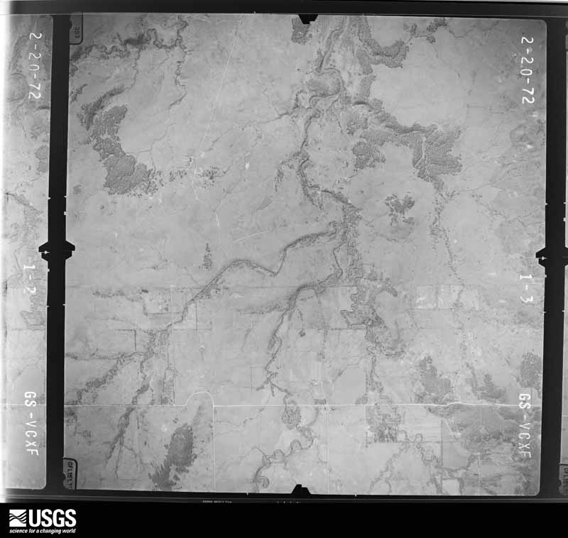
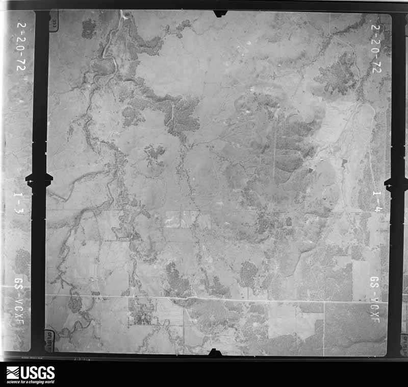
Flown by the U.S. Geological Survey between 1937 and 1989, the Aerial Photo Single Frames collection is the definitive mid-century view of the land: fields, roads and rivers as the camera saw them. The Survey holds 3,213 frames inside the rectangle that bounds this county; the 48 frames below were taken over the county itself, chosen across the decades of flights (at most four a year from that rectangle), so one flight cannot crowd out the rest. The full set is free to browse and download at EarthExplorer under the dataset Aerial Photo Single Frames.



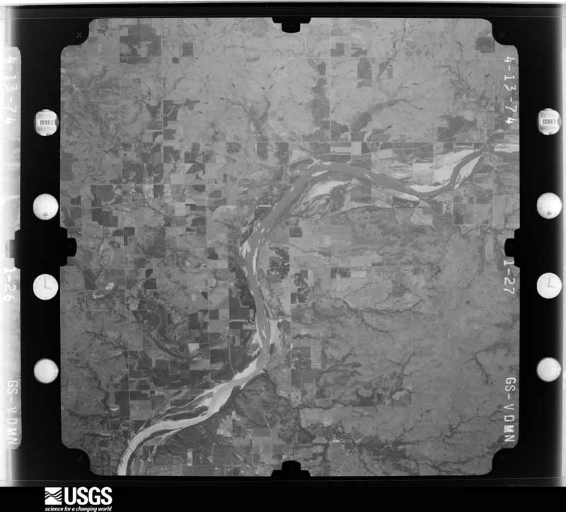
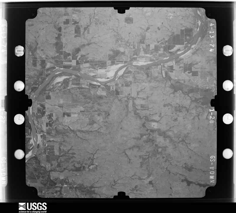
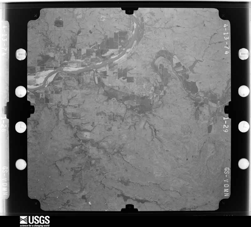



The thermometers that kept this county's weather, and the gages that measured the flow of its streams, as the federal records hold them. The extremes below are measured values from those records, not estimates.
Who lived here in 1950, one enumeration district at a time, as the Census Bureau described each district. Each row opens its official National Archives result, with Population Schedules and ED Maps available there.
Every wildfire the federal occurrence database records inside this county: 2,142 of them, burning about 583,342 acres. 126 started naturally and 535 were recorded as arson. Each settlement page carries the fires within five miles of it.
| Reported cause | Fires |
|---|---|
| Debris and open burning | 625 |
| Arson/incendiarism | 535 |
| Missing data/not specified/undetermined | 276 |
| Power generation/transmission/distribution | 259 |
| Equipment and vehicle use | 228 |
| Natural | 126 |
| Fireworks | 27 |
| Other causes | 23 |
| Recreation and ceremony | 19 |
| Misuse of fire by a minor | 14 |
| Firearms and explosives use | 4 |
| Smoking | 3 |
| Railroad operations and maintenance | 3 |
The five largest, by the area the report gives. Two of them were set deliberately.
| Date | Cause | Size | Reported by | Name on the report |
|---|---|---|---|---|
| 6 March 2018 | Power generation/transmission/distribution | 20,307 acres | Osage Agency | WEST 60 |
| 30 March 2014 | Debris and open burning | 17,683 acres | Osage Agency | SPIDER |
| 9 April 2014 | Debris and open burning | 14,911 acres | Osage Agency | RESERVE |
| 23 March 2011 | Debris and open burning | 11,382 acres | Osage Agency | GREYHORSE |
| 6 March 2016 | Arson/incendiarism | 11,258 acres | Osage Agency | MUSTANG |
| 15 March 2018 | Power generation/transmission/distribution | 10,816 acres | Osage Agency | BIGGY |
| 17 March 2009 | Debris and open burning | 10,216 acres | Osage Agency | PEACH ORCHARD |
| 2 March 2017 | Arson/incendiarism | 9,636 acres | Osage Agency | MILSAP |
Every settlement page carries the fires within five miles of it - see the settlement index below.
The NOAA Storm Events Database holds 1,489 reports for this county, causing 4 deaths, 104 injuries and about $48,083,010 in recorded property damage. Each settlement page carries the reports that name it.
| Kind of event | Reports |
|---|---|
| Hail | 666 |
| Thunderstorm Wind | 624 |
| Tornado | 118 |
| Flash Flood | 69 |
| Flood | 10 |
| Funnel Cloud | 2 |
The most serious of them, by death, then injury, then recorded damage. The accounts are quoted exactly as the forecast office filed them.
| When | Event | Place named | Harm | What the report says |
|---|---|---|---|---|
| May 2024 | Tornado (EF4) | Osage | 2 killed, 33 hurt, $10,000,000 | This is the first segment of a two-segment tornado. This tornado developed just north of County Road 1701 southeast of Hominy, where trees were uprooted and snapped. The tornado moved northeast and crossed Highway 20, snapping numerous trees and snapping seven metal power poles. The tornado continued to snap and uproot numerous trees between Highway 20 and Barnsdall. Significant tree damage was found in several locations. A well-built home was destroyed just southwest of town. Multiple vehicles were thrown and rolled, and trees were stubbed and debarked in this area. The tornado then moved into Barnsdall, causing severe damage to the wax plant on the southeast side of town. More than 110 homes and businesses were damaged, 65 of those were destroyed. Numerous trees were stubbed in the area of some of the higher end damage. Two fatalities and at least 33 injuries occurred in Barnsdall. Significant tree damage continued northeast of Barnsdall, a few homes were damaged, and outbuildings were destroyed between Barnsdall and the county line. Based on this damage, maximum estimated wind in this segment of the tornado was 170 to 180 mph. The tornado continued into Washington County. |
| April 1984 | Tornado (F4) | not stated | 1 killed, 20 hurt, $25,000,000 | no account filed |
| June 1974 | Tornado (F4) | not stated | 1 killed, 15 hurt, $250,000 | no account filed |
| April 1991 | Tornado (F4) | not stated | 19 hurt, $2,500,000 | no account filed |
| June 2005 | Thunderstorm Wind | Burbank | 5 hurt, $75,000 | Strong thunderstorm wind destroyed a mobile home. Five people were injured inside the mobile home when the storm hit. Three of those injured received serious injuries requiring hospitalization. Several large trees were snapped or uprooted by the wind and power lines and poles were blown down. |
| April 1984 | Tornado (F1) | not stated | 2 hurt, $250,000 | no account filed |
| November 2008 | Tornado (EF0) | Osage | 2 hurt, $50,000 | A tornado destroyed a mobile home, damaged another mobile home, damaged the roof of a house, blew the roof off of a storage building, and damaged a number of trees. Maximum estimated wind based on the damage observed during a storm survey was between 75 and 85 mph. Two people in the mobile home that was destroyed were injured. |
| October 1998 | Thunderstorm Wind | Barnsdall | 2 hurt, $50,000 | Two mobile homes were destroyed, and one home was damaged. Two people were injured in this incident. The location was 2 miles west of Ochelata just inside Osage County. The Washington County Emergency Management Director reported that the damage pattern was 300 to 400 yards in length. |
| June 1986 | Thunderstorm Wind | not stated | 2 hurt | no account filed |
| March 1982 | Tornado (F2) | not stated | 1 hurt, $250,000 | no account filed |
| April 1980 | Tornado (F2) | not stated | 1 hurt, $250,000 | no account filed |
| August 1996 | Flash Flood | In And Nr Pawhuska | 1 hurt, $10,000 | no account filed |
| August 1996 | Thunderstorm Wind | Pawhuska | 1 hurt, $8,000 | no account filed |
| April 1991 | Tornado (F4) | not stated | $2,500,000 | no account filed |
| May 2019 | Flash Flood | Hominy | $500,000 | Up to five feet of water inundated forty homes and nine businesses in Hominy. The fire department used boats to rescue stranded people. |
| April 2024 | Tornado (EF1) | Barnsdall | $250,000 | This tornado developed just east of Highway 11, over the southeastern side of Barnsdall. It damaged homes, destroyed outbuildings, and blew down trees and power poles as it moved east-northeast, dissipating north of County Road 2400 and west of County Road 2335. Based on this damage, maximum estimated wind in the tornado was 90 to 100 mph. |
| May 2003 | Tornado (F3) | Fairfax | $250,000 | A F3 tornado touched down northwest of Fairfax and traveled northeast across rural areas of Osage county before dissipating just west of Bowring. The one community it did effect was Little Chief.Oil tanks southwest of Little Chief were taken off their foundation and rolled a quarter of a mile. In Little Chief a RV was destroyed and there was considerable tree damage. In a field not far from Little Chief seven cattle were killed. Along Highway 60 to the northeast of Little Chief a house and garage were completely swept from their foundation. At the same location a barn was destroyed and three horses were killed. Further to the northeast as the tornado entered the Tall Grass Prairie Preserve, it produced additional significant tree damage. Throughout the path of the tornado up to 30 power poles were blown down causing power outages across a significant part of Osage county. The F3 damage was classified at two locations: the first was near where the cattle were killed--this was the only location that showed the scouring of grasses along the path; the second location was in the western sections of the Tall Grass Prairie Reserve where an Oak Forest was heavily damaged. Although the one house was swept off its foundation, it was clear that this house's anchoring failed prematurely. On this property there were several examples, especially with vegetation, that hinted that this stretch of the tornado track was probably less than F3 intensity. |
| June 1983 | Tornado (F2) | not stated | $250,000 | no account filed |
| March 1982 | Tornado (F1) | not stated | $250,000 | no account filed |
| June 1973 | Tornado (F3) | not stated | $250,000 | no account filed |
| January 2026 | Tornado (EF1) | Wynona | $200,000 | A tornado damaged the roofs of several homes, destroyed a large outbuilding, snapped power poles, and blew down trees. Based on this damage, maximum estimated wind in the tornado was 90 to 100 mph. |
| March 2026 | Tornado (EF1) | Tulsa | $200,000 | This is the first segment of a two-segment tornado. This tornado developed near N Gilcrease Museum Road, north of W Newton Street. It moved northeast damaging a number of homes, damaging the roof of an apartment complex, uprooting trees, and snapping numerous large tree limbs in neighborhoods west of N Tisdale Parkway. It then crossed into Tulsa County near W Apache Street. Based on this damage, maximum estimated wind in this segment of the tornado was 90 to 100 mph. This tornado produced a tornadic debris signature from the KINX WSR-88D. |
| May 2024 | Hail | Burbank | $150,000 | Giant hail measured up to 3.5 inches in diameter damaged homes, businesses, and vehicles. |
| May 2019 | Flood | Skiatook | $150,000 | A few houses were flooded with two to three feet of water. |
| April 1996 | Tornado (F1) | Barnsdall | $150,000 | no account filed |
| July 1997 | Flash Flood | W. Osage County | $140,000 | no account filed |
| May 1999 | Thunderstorm Wind | Pawhuska | $125,000 | Roofs were blown off houses, windows were knocked out of buildings, four trailers were turned over, porches were knocked off houses, and numerous trees were blown down. Some of the worst damage occurred in Indian Camp. |
| June 1997 | Thunderstorm Wind | Pawhuska | $125,000 | no account filed |
| May 2019 | Flash Flood | Skiatook | $100,000 | A number of roads were flooded and closed on the east side of Skiatook. Residents of five homes were trapped by flood waters and had to be rescued by boat. |
| April 2016 | Tornado (EF1) | Prue | $100,000 | This is the second segment of a two segment tornado. In Osage County, this tornado destroyed boat docks on Keystone Lake, damaged homes, and uprooted trees. Based on this damage, maximum estimated wind in this segment of the tornado was 90 to 100 mph. |
| April 2016 | Thunderstorm Wind | Pawhuska | $100,000 | Strong thunderstorm wind damaged an oil derrick, damaged several homes, uprooted trees, and blew down power poles west and northwest of Pawhuska. |
| March 2015 | Tornado (EF1) | Prue | $100,000 | This is the second segment of a three segment tornado. The tornado crossed into Osage County over Keystone Lake and quickly crossed Highway 412. It then moved through a wooded area that was inaccessible by road. The first damage that was accessible by the survey team was at S 209th W Avenue, where the tornado damaged a church, snapped large tree limbs, and damaged a home. It moved east-southeast toward W Archer Road snapping or uprooting trees and damaging homes. Based on this damage, maximum estimated wind in this segment of the tornado was 95 to 105 mph. The tornado continued into Tulsa County, Oklahoma. |
| February 2009 | Hail | Okesa | $100,000 | Softball size hail damaged cars and roofs of buildings. |
| May 2000 | Flash Flood | East Portion | $100,000 | Heavy rains fell over eastern Osage county during the early morning hours May 6. 2.80 inches fell at Barnsdall with higher amounts likely to the south. Several roads were flooded and a few were closed due to flooding. A few of the highways closed include Highway 11 1 1/2 miles north of Barnsdall and Highway 97 8 miles north of Sand Springs. The flooding likely caused damage to bridges and road in rural eastern Osage county. |
| June 1998 | Thunderstorm Wind | Hominy | $80,000 | Eighty mph winds reported by spotters caused extensive damage in Hominy. Specific reports follow:- On the north side of town: a barn was smashed, the doors were torn off of an airport hangar, hay bails were thrown across the highway, the roof of Hominy High School was heavily damaged and the air conditioner was blown off of the roof, and play equipment was blown about 1/4 mile away.- On the east side of town: three houses were unroofed and a swing set was thrown into a fence.- On the south end of town: windows were blown in, several trailers were unsided, and power poles were blown down.- On Main Street: windows were blown in, signs were blown down, and awnings were damaged.- All over town, structures sustained serious roof damage, there was heavy tree and power line damage, and car windows were shattered. Fifty percent of the town's residents lost electricity. |
| May 2019 | Flash Flood | Skiatook Arpt | $75,000 | Streets were flooded near W Perrier Drive and N Tall Chief Street, and flood water reached occupied structures. |
| March 2016 | Tornado (EF1) | Tulsa | $75,000 | This is the first segment of a three segment tornado. In Osage County, this tornado severely damaged the roof of a home, destroyed several outbuildings, destroyed farm equipment, and snapped or uprooted numerous trees. Based on this damage, maximum estimated wind in this segment of the tornado was 100 to 110 mph. The tornado continued into Tulsa County, Oklahoma. |
| May 2008 | Tornado (EF1) | Fairfax | $75,000 | A tornado damaged the roofs of two homes, caused extensive tree damage, and blew down several power poles. This tornado was observed by several storm chasers. |
| May 2003 | Thunderstorm Wind | Okesa | $75,000 | Thunderstorm winds estimated at 80 miles an hour struck the Bartlesville Municipal Airport. One small plane was flipped onto its back and heavily damaged. Up to a dozen other planes were damaged when the doors were blown out of a hangar. The hangar that had its doors blown out also suffered significant roof damage which made its future use questionable. One other hanger and the Biplane Expo Center receivedlight to moderate damage but were still usable. |
| May 2024 | Hail | Wynona | $50,000 | Hail up to ping pong ball size damaged homes, businesses, and vehicles. |
| May 2019 | Flash Flood | Pawhuska | $50,000 | Several streets were flooded in and around town, including Lynn Avenue that had about four feet of water flowing over it. A fire department was flooded. |
| October 2018 | Tornado (EF0) | Fairfax | $50,000 | This tornado developed over the southwestern portion of the town of Fairfax, where the roofs of homes were damaged, and power poles and large tree limbs were snapped. The tornado moved northeast across town damaging the roofs of a number of businesses, damaging homes, snapping large tree limbs, and blowing down power poles. Numerous windows of businesses and homes were broken due to flying debris. The tornado moved east-northeast from Fairfax, crossing County Road 5701 where large tree limbs were snapped, then dissipated over open country. Based on this damage, maximum estimated wind in the tornado was 80 to 85 mph. |
| April 2012 | Tornado (EF1) | Skiatook Arpt | $50,000 | A tornado damaged two airplanes and the roof of a hangar at the Skiatook Municipal Airport. It also snapped and uprooted large hardwood trees. Maximum wind in the tornado based on this damage was 90 to 100 mph. |
| May 2011 | Thunderstorm Wind | Pawhuska | $50,000 | Strong thunderstorm wind severely damaged a home and blew down large trees. |
| May 2010 | Tornado (EF1) | Fairfax | $50,000 | A tornado that developed over northeastern Noble County continued into western Osage County, where it damaged several homes, uprooted or snapped numerous trees, and blew down power poles. The estimated peak wind in the tornado based on this damage was 110 mph. |
| March 2008 | Tornado (EF1) | Hominy | $50,000 | A tornado severely damaged the roof of a home west of the Hominy Airport and produced minor damage to the roofs of several other homes. Trees were snapped and barns were damaged or destroyed in the path of the tornado. |
| June 2005 | Tornado (F0) | Burbank | $50,000 | Storm chasers videotaped and reported a tornado. An NWS survey team determined the tornado developed about 6 miles southeast of McCord and moved north, dissipating about 5.5 miles E of McCord. A modular home was rolled off its foundation and severely damaged by the tornado. |
| May 2008 | Hail | Burbank | $50,000 | no account filed |
| May 2008 | Hail | Pawhuska | $50,000 | no account filed |
| May 2008 | Hail | Shidler | $50,000 | no account filed |
| October 1998 | Tornado (F0) | Barnsdall | $45,000 | An F0 tornado skipped across southern Osage County just south of Barnsdall. Four homes received minor damage. However, three barns were completely destroyed, two outbuildings were destroyed, and numerous trees had 12-inch tree limbs knocked out of them. |
| November 2024 | Tornado (EF1) | Skiatook Arpt | $40,000 | This tornado developed south of Rock School Road, west of Kennedy Lane, and moved northeast before dissipating, after it crossed W 88th Street N. The tornado snapped several tree trunks, snapped numerous large tree limbs, and removed a large portion of the roof from a metal building. Another outbuilding was partially blown down. Based on this damage, maximum estimated wind in the tornado was 85 to 90 mph. |
| August 2010 | Thunderstorm Wind | Burbank | $40,000 | Strong thunderstorm wind damaged two mobile homes, destroyed two barns, and blew down large tree limbs. |
| August 1999 | Thunderstorm Wind | Fairfax | $40,000 | Strong winds caused significant damage in Fairfax. Large trees and power lines were blown down, blocking several streets to traffic. Several buildings suffered structural damage in the form of blown-out windows and roof damage. At a motel in Fairfax, a 600-pound piece of steel was blown from a nearby storage yard into the corner of the motel, lodging itself under the corner of the roof and lifting the roof from the building. A nearby carport was destroyed. Windows in several businesses on the west side of Main Street had their windows blown out, |
| April 2024 | Tornado (EF1) | Wynona | $35,000 | This tornado developed east of County Road 2665, along the 330 Road. It moved east-northeast and dissipated after crossing County Road 2477. The tornado blew the roof from a garage, uprooted or snapped trees, and blew down numerous power poles. Based on this damage, maximum estimated wind in the tornado was 100 to 110 mph. |
| October 2021 | Hail | Apperson | $35,000 | Two-inch diameter hail damaged homes and vehicles near McCord. |
| June 2012 | Thunderstorm Wind | Hominy | $30,000 | Strong thunderstorm wind blew down a tree onto a house and also blew down numerous power poles and power lines. |
| August 2003 | Thunderstorm Wind | Barnsdall | $30,000 | Thunderstorm winds estimated at 70 miles an hour tipped over a mobile home just east of Barnsdall. No injuries were reported. |
| April 1999 | Flash Flood | Countywide | $30,000 | In Hominy, 6.9 inches of rain caused several streets to close. Three homes in the 1000 block of South Price were evacuated. Evacuations took place from 10th Street on the south side of town. This was the first time that these homes had been evacuated since the 1980's. Areas off of OK Hwy 99 north of town were flooded, and Hwy 99 was closed between Hominy and Cleveland for a time. Penn Creek at the north end of Katy in Hominy flooded the entrance to the City Barn and the Water Department. |
| March 1997 | Thunderstorm Wind | Hominy | $30,000 | no account filed |
The Survey's mineral resources record lists 37 workings inside this county. 4 still produce and 33 are closed or unrecorded. Each settlement page carries the workings within five miles of it.
| Commodity | Workings |
|---|---|
| Stone, Crushed/Broken | 26 |
| Sand and Gravel, Construction | 5 |
| Clay | 4 |
| Dolomite | 2 |
The least common of them first, because a county's hundredth gravel pit says nothing its first ten did not.
| Where | Site | Commodity | Status | Recorded |
|---|---|---|---|---|
| Parks Rock Quarry Dolomite Pit | Dolomite | Producer | ||
| Unknown Dolomite Pit | Dolomite | Past Producer | ||
| Unknown Shale Pit | Clay | Past Producer | ||
| Unknown Shale Pit | Clay | Past Producer | ||
| Unknown Shale Pit | Clay | Past Producer | ||
| Unknown Shale Pit | Clay | Past Producer | ||
| Unknown Gravel Pit | Sand and Gravel, Construction | Past Producer | ||
| Unknown Gravel Pit | Sand and Gravel, Construction | Past Producer | ||
| Unknown Gravel Pit | Sand and Gravel, Construction | Unknown | ||
| Unknown Gravel Pit | Sand and Gravel, Construction | Past Producer | ||
| Unknown Gravel Pit | Sand and Gravel, Construction | Past Producer | ||
| Baker Stone Co Limestone Pit | Stone, Crushed/Broken | Producer | ||
| Baker Stone Co Limestone Pit | Stone, Crushed/Broken | Producer | ||
| Pawhuska Quarry & Mill | Stone, Crushed/Broken | Producer | ||
| Standard Industries Limestone Pit | Stone, Crushed/Broken | Past Producer | ||
| Unknown Limestone Pit | Stone, Crushed/Broken | Past Producer | ||
| Unknown Limestone Pit | Stone, Crushed/Broken | Past Producer | ||
| Unknown Limestone Pit | Stone, Crushed/Broken | Past Producer | ||
| Unknown Limestone Pit | Stone, Crushed/Broken | Past Producer | ||
| Unknown Limestone Pit | Stone, Crushed/Broken | Past Producer | ||
| Unknown Limestone Pit | Stone, Crushed/Broken | Past Producer | ||
| Unknown Limestone Pit | Stone, Crushed/Broken | Past Producer | ||
| Unknown Limestone Pit | Stone, Crushed/Broken | Past Producer | ||
| Unknown Limestone Pit | Stone, Crushed/Broken | Past Producer | ||
| Unknown Limestone Pit | Stone, Crushed/Broken | Past Producer | ||
| Unknown Limestone Pit | Stone, Crushed/Broken | Past Producer | ||
| Unknown Limestone Pit | Stone, Crushed/Broken | Past Producer | ||
| Unknown Limestone Pit | Stone, Crushed/Broken | Unknown | ||
| Unknown Limestone Pit | Stone, Crushed/Broken | Past Producer | ||
| Unknown Limestone Pit | Stone, Crushed/Broken | Past Producer | ||
| Unknown Limestone Pit | Stone, Crushed/Broken | Past Producer | ||
| Unknown Limestone Pit | Stone, Crushed/Broken | Past Producer | ||
| Unknown Limestone Pit | Stone, Crushed/Broken | Past Producer | ||
| Unknown Limestone Pit | Stone, Crushed/Broken | Past Producer | ||
| Unknown Sandstone Pit | Stone, Crushed/Broken | Past Producer | ||
| Unknown Sandstone Pit | Stone, Crushed/Broken | Past Producer | ||
| Unknown Sandstone Pit | Stone, Crushed/Broken | Past Producer |
Named settlements recorded in the Geographic Names Information System, each with the topographic sheets covering it. Villages, hamlets and abandoned places alike. Each is shown with the nearest named watercourse or landform and the survey quadrangle it falls on. The 8 places that were also surveyed for fire insurance come first, with the number of atlases and photographs held for them.
Barnsdall census division · 74001 · On Tucker Creek · Avant quadrangle
14 sheets, 1912 to 1990
Fire insurance: 2 atlases
Barnsdall census division · 74002 · On Choteau Creek · Barnsdall quadrangle
13 sheets, 1909 to 1985
Fire insurance: 3 atlases
Pawhuska census division · 74056 · Herd quadrangle
15 sheets, 1909 to 1985
Fire insurance: 1 atlas
Fairfax census division · 74637 · Near Threemile Canyon · Fairfax quadrangle
13 sheets, 1932 to 1985
Fire insurance: 4 atlases
Fairfax census division · 74637 · On Lucy Creek · Fairfax quadrangle
13 sheets, 1932 to 1985
Fire insurance: 3 atlases
Hominy census division · 74035 · On Claremore Creek · Hominy quadrangle
14 sheets, 1912 to 1990
Fire insurance: 4 atlases
Pawhuska census division · 74056 · On Clear Creek · Pawhuska quadrangle
14 sheets, 1909 to 1985
Fire insurance: 10 atlases
Hominy census division · 74084 · Wynona quadrangle
13 sheets, 1909 to 1985
Fire insurance: 3 atlases
Pawhuska census division · 74056 · Whippoorwill quadrangle
12 sheets, 1909 to 1985
Pawhuska census division · 74056 · On Spring Creek · Whippoorwill quadrangle
12 sheets, 1909 to 1985
Northwest Osage census division · 74633 · On Stewart Creek · Burbank quadrangle
13 sheets, 1932 to 1985
Northwest Osage census division · 74652 · On Rock Creek · Burbank quadrangle
13 sheets, 1932 to 1985
Fairfax census division · 74637 · On Clear Creek · Doga Creek quadrangle
12 sheets, 1936 to 1985
Pawhuska census division · 74003 · On Little Rock Creek · Woolaroc quadrangle
13 sheets, 1909 to 1985
Northwest Osage census division · 74652 · On Lone Tree Creek · Grainola quadrangle
12 sheets, 1916 to 1985
Barnsdall census division · 74002 · On Birch Creek · Barnsdall quadrangle
13 sheets, 1909 to 1985
Northwest Osage census division · 74652 · On Antelope Creek · Grainola quadrangle
12 sheets, 1916 to 1985
Pawhuska census division · 74056 · On Skull Creek · Bowring quadrangle
12 sheets, 1909 to 1985
Pawhuska census division · 74022 · On Opossum Creek · Bowring quadrangle
12 sheets, 1909 to 1985
Hominy census division · 74035 · On Claremore Creek · Hominy quadrangle
14 sheets, 1912 to 1990
Fairfax census division · 74637 · On Wild Horse Creek · Burbank quadrangle
13 sheets, 1932 to 1985
Northwest Osage census division · 74652 · On Haines Creek · Shidler quadrangle
12 sheets, 1916 to 1985
Southeast Osage census division · 74070 · On Eagle Creek · Avant SW quadrangle
13 sheets, 1912 to 1990
Pawhuska census division · 74056 · Near Twin Mounds · Nanos quadrangle
13 sheets, 1909 to 1985
Pawhuska census division · 74056 · On Buffalo Creek · Nelagoney quadrangle
14 sheets, 1906 to 1985
Barnsdall census division · 74002 · On Dog Thresher Creek · Barnsdall quadrangle
13 sheets, 1909 to 1985
Pawhuska census division · 74003 · On Lost Creek · Nelagoney quadrangle
14 sheets, 1906 to 1985
Hominy census division · 74054 · On Vandruff Creek · Cleveland quadrangle
14 sheets, 1912 to 1990
Fairfax census division · 74637 · On Salt Creek · Fairfax quadrangle
13 sheets, 1932 to 1985
Northwest Osage census division · 74056 · On Hickory Creek · Pearsonia quadrangle
12 sheets, 1909 to 1985
Hominy census division · 74054 · On Waresha Creek · Keystone Dam quadrangle
14 sheets, 1912 to 1990
Fairfax census division · 74633 · On Little Chief Creek · Burbank quadrangle
13 sheets, 1932 to 1985
Northwest Osage census division · 74652 · On Potato Creek · Shidler quadrangle
12 sheets, 1916 to 1985
Northwest Osage census division · 74633 · On LaSarge Creek · Kaw City quadrangle
14 sheets, 1935 to 1985
Pawhuska census division · 74002 · On Red Eagle Branch · Barnsdall quadrangle
13 sheets, 1909 to 1985
Pawhuska census division · 74003 · On Panther Creek · Woolaroc quadrangle
13 sheets, 1909 to 1985
Pawhuska census division · 74056 · On Cotton Creek · Whippoorwill quadrangle
12 sheets, 1909 to 1985
14 topographic sheets and 10 fire insurance atlases, 1894 to 1958
13 topographic sheets and 4 fire insurance atlases, 1915 to 1943
14 topographic sheets and 4 fire insurance atlases, 1912 to 1931
13 topographic sheets and 3 fire insurance atlases, 1922 to 1950
13 topographic sheets and 3 fire insurance atlases, 1894 to 1901
13 topographic sheets and 3 fire insurance atlases, 1919 to 1924
The complete index, with nothing left out. Each of these is a separate record with its own page: a federal survey report, or the case file that argued a property on to the National Register. Both are public domain and reproduced word for word.