 Block
From the record
10 National Register listings published here.
Sources: the National Register database, National Park Service
29 topographic sheets and 15 fire insurance atlases across 4 places.
10 National Register listings published here.
Sources: the National Register database, National Park Service
Every property in this county listed on the National Register of Historic Places, with the year it was listed and the federal nomination document.
| Photograph | Property | Type | Listed | Reference |
|---|---|---|---|---|
| Grandfield Downtown Historic District | district | 2002 | 02000656 | |
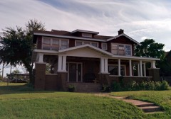 | William and Mabel Donahoo Hubbard House | building | 1991 | 91000310 |
| Humphreys Drugstore Building | building | 1992 | 92000797 | |
| J. D. Laney House | building | 1984 | 84003441 | |
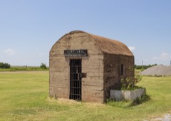 | Manitou Jail | building | 2016 | 16000851 |
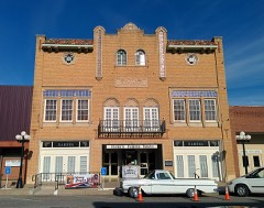 | Ramona Theatre | building | 1984 | 84000377 |
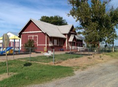 | Rock Island Depot | building | 1996 | 96000978 |
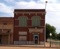 | Tillman County Bank of Grandfield | building | 1992 | 92000796 |
 | Tillman County Courthouse | building | 1984 | 84003455 |
| Tipton Orphans Home | building | 2024 | 100010779 |
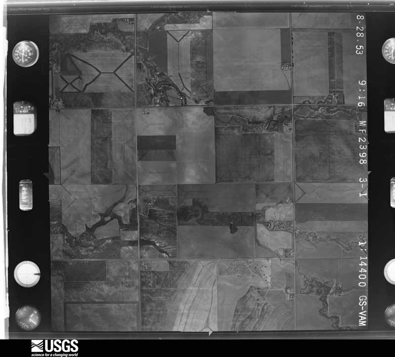
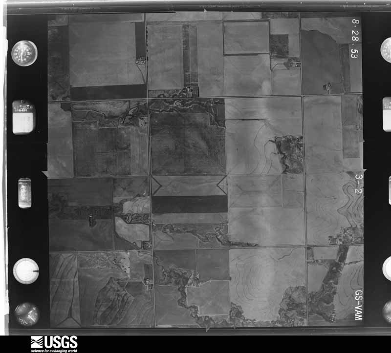
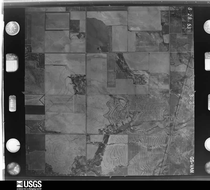
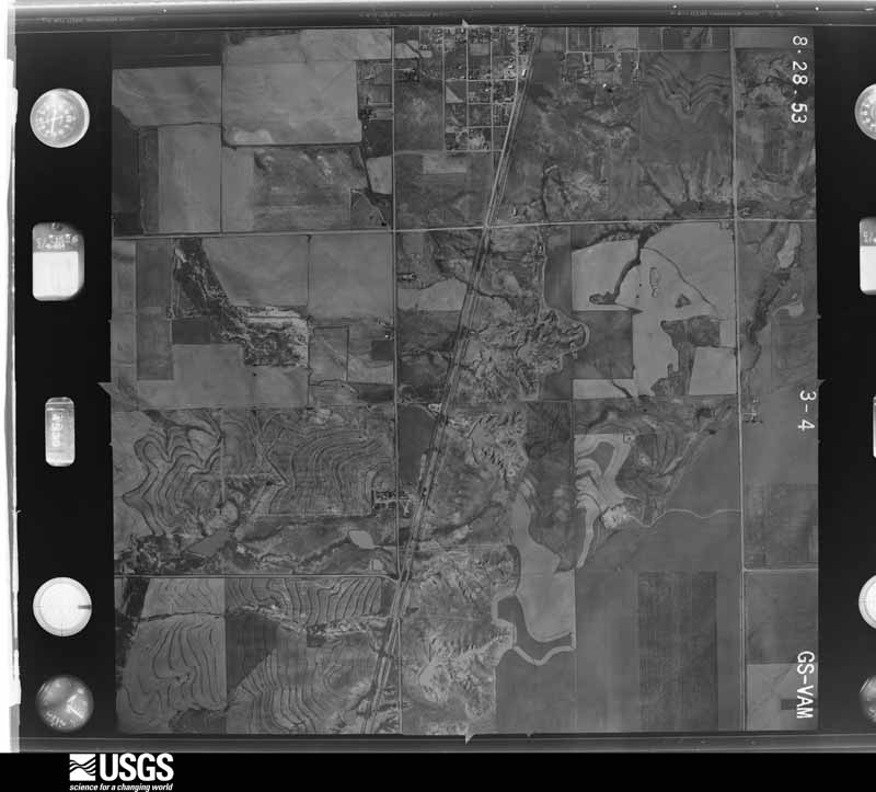
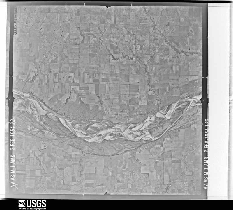
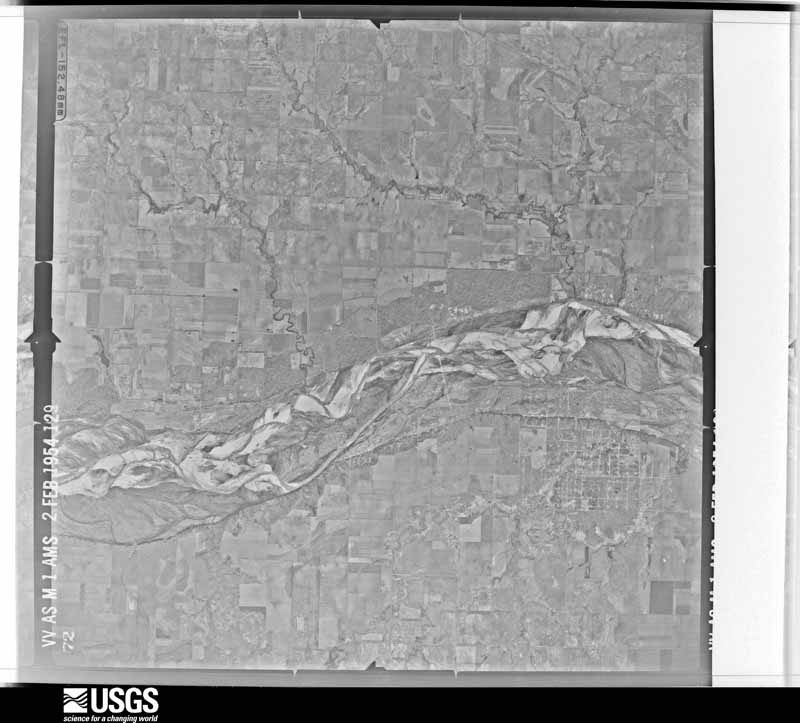
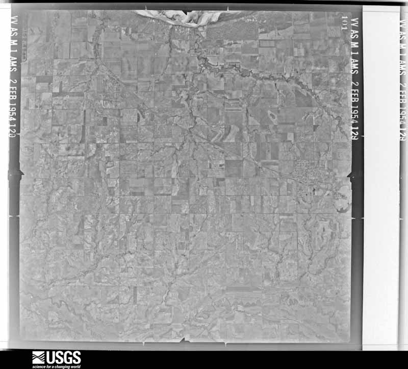
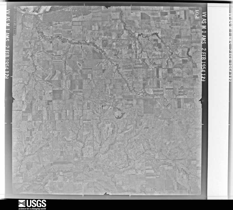
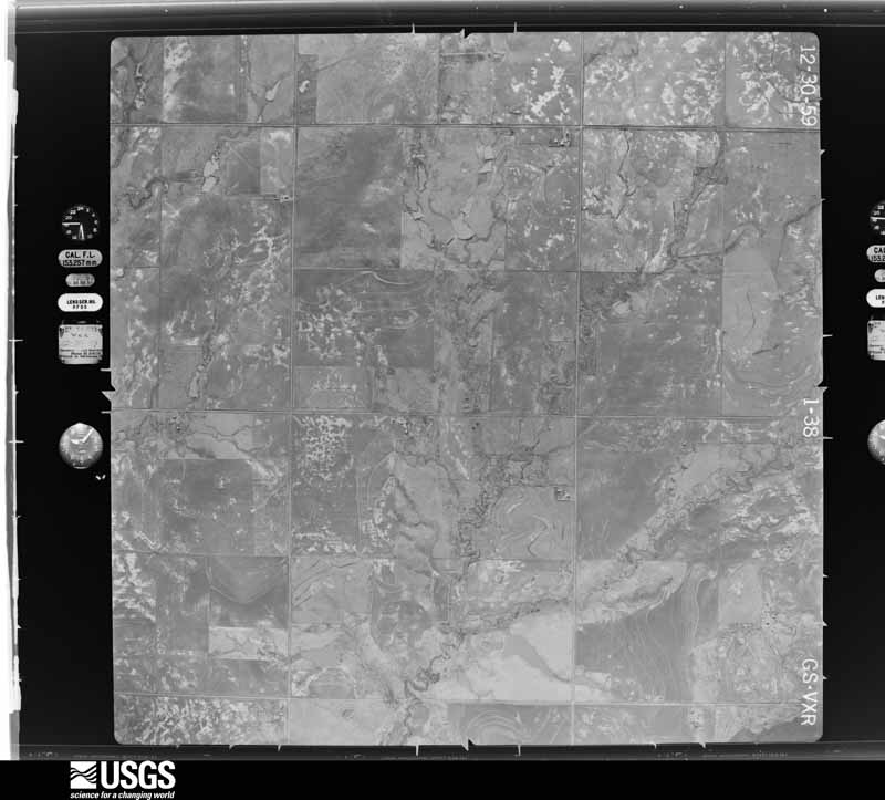
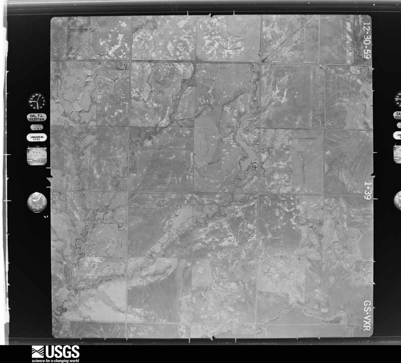
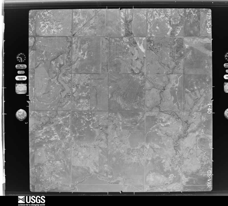
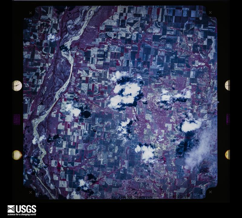
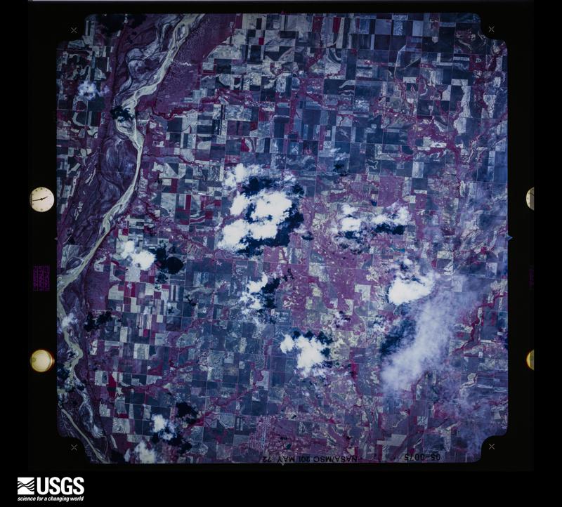
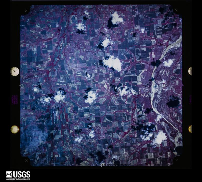
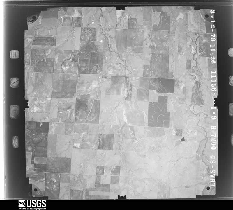
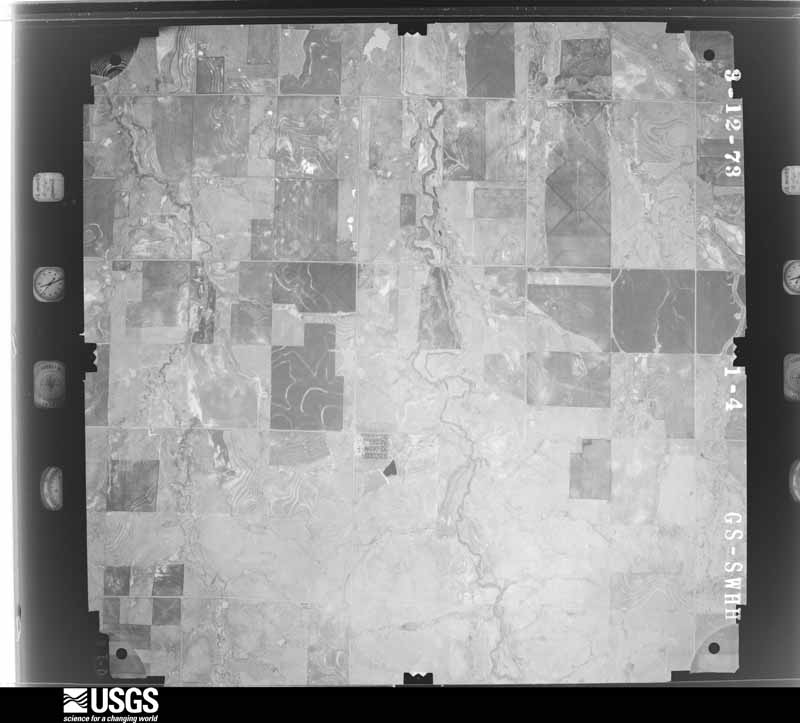
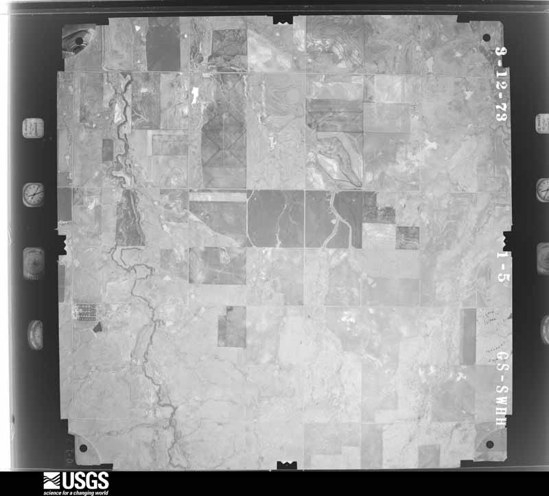
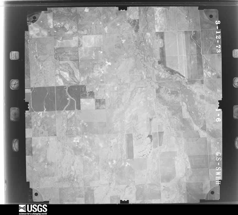
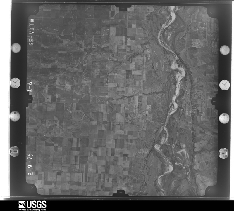
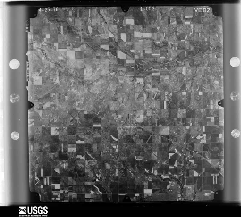
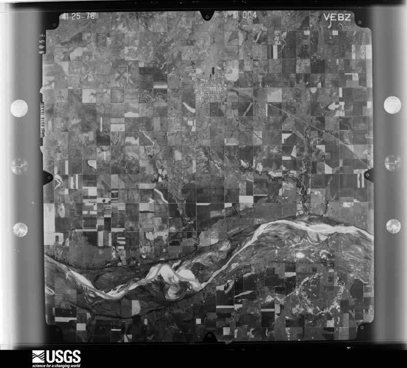
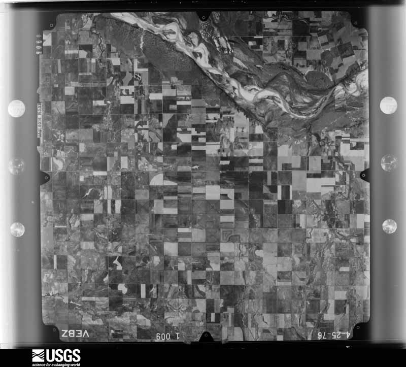
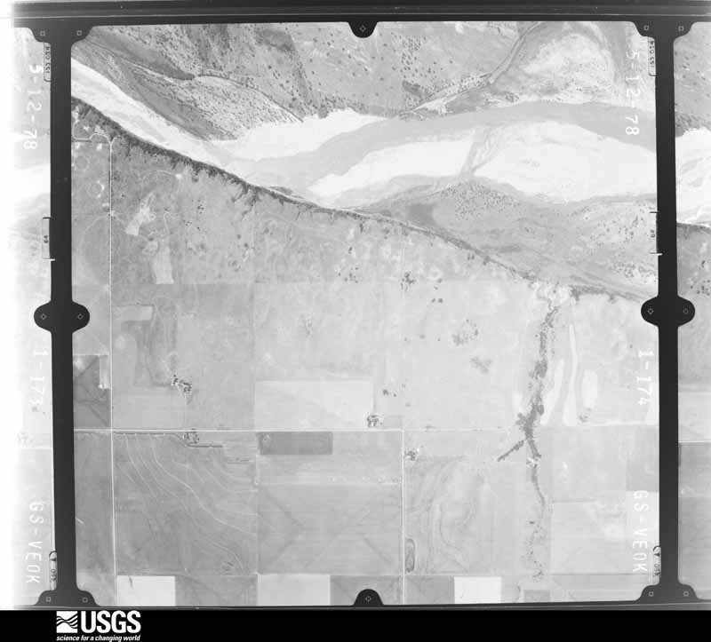
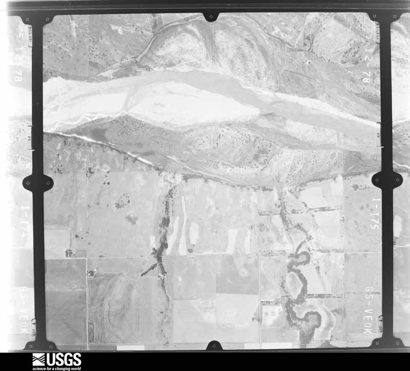
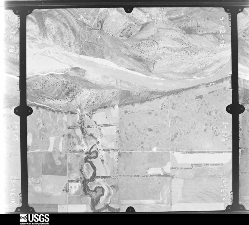
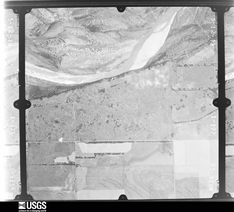
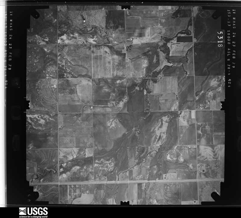
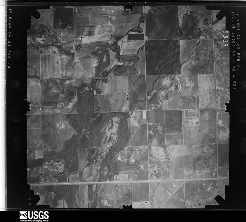
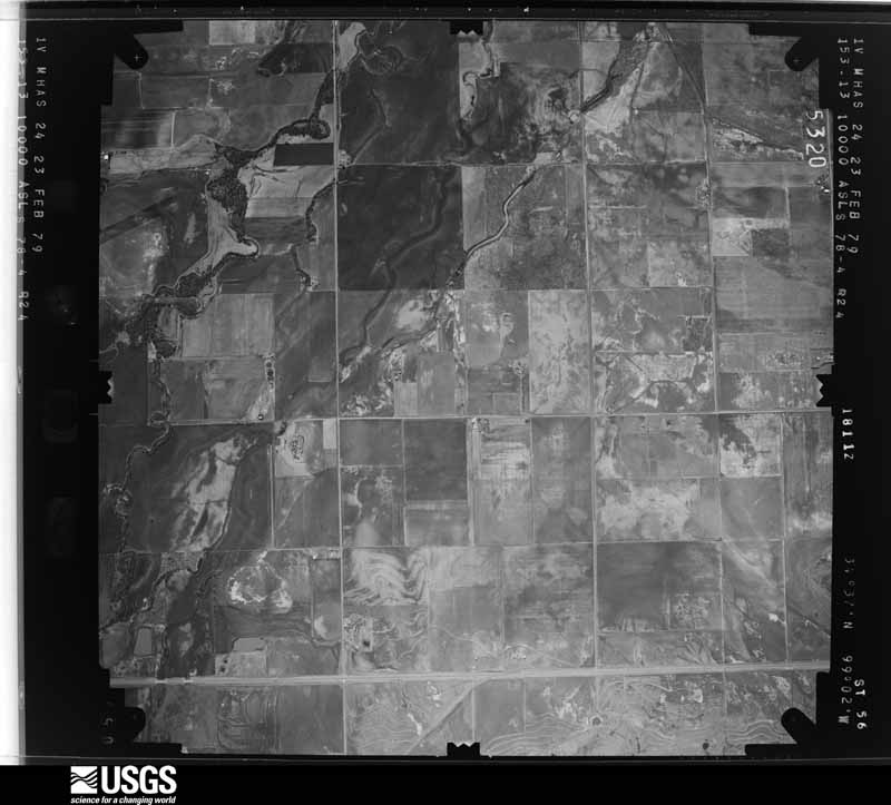
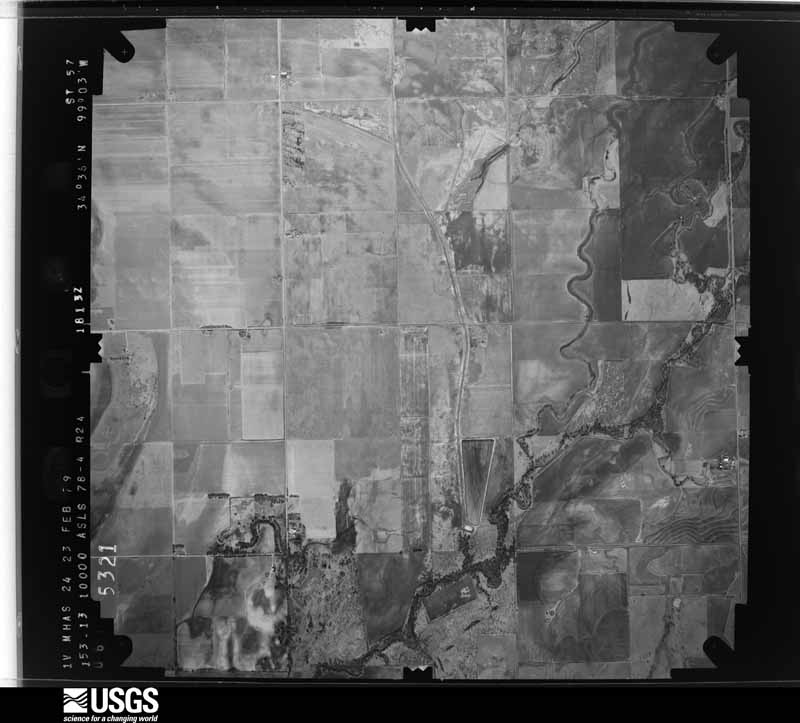
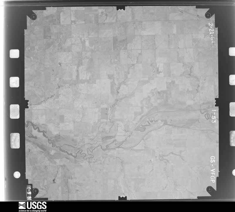
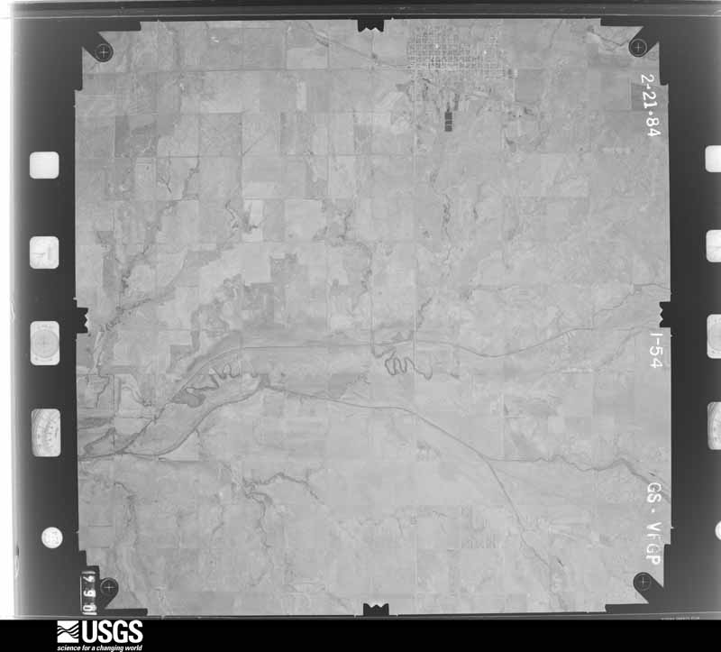
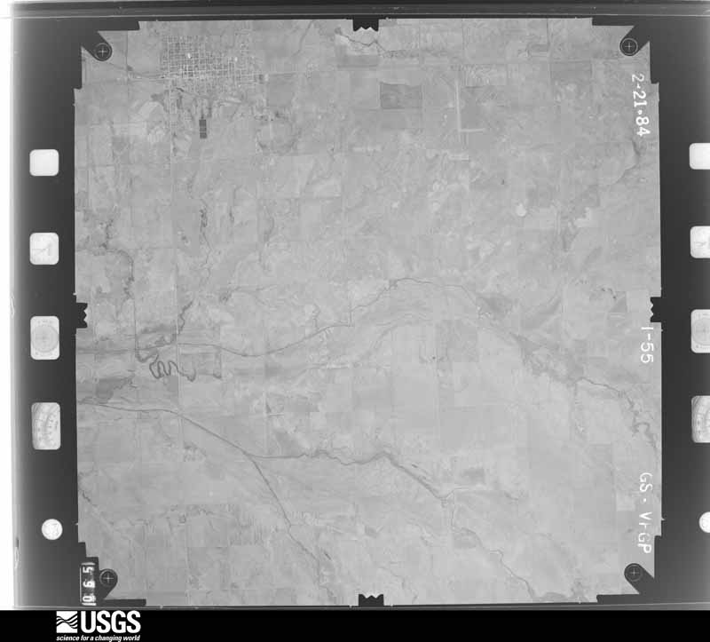
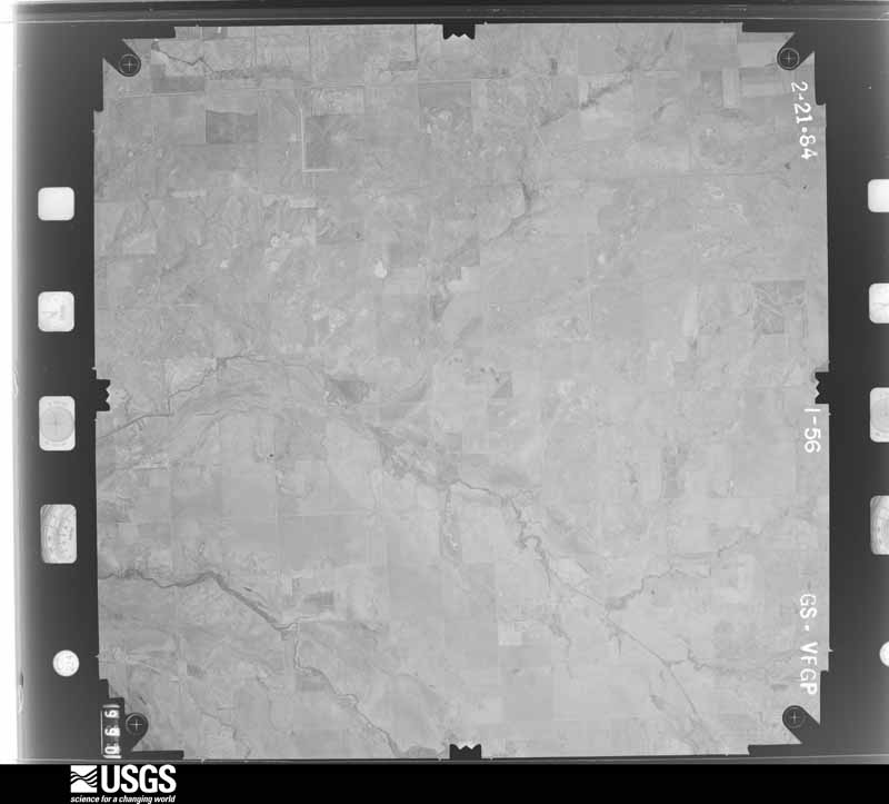
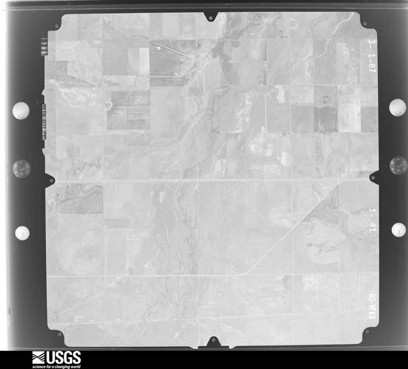
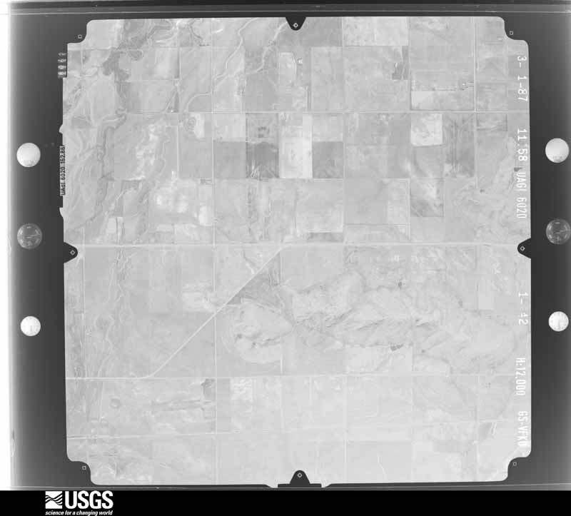
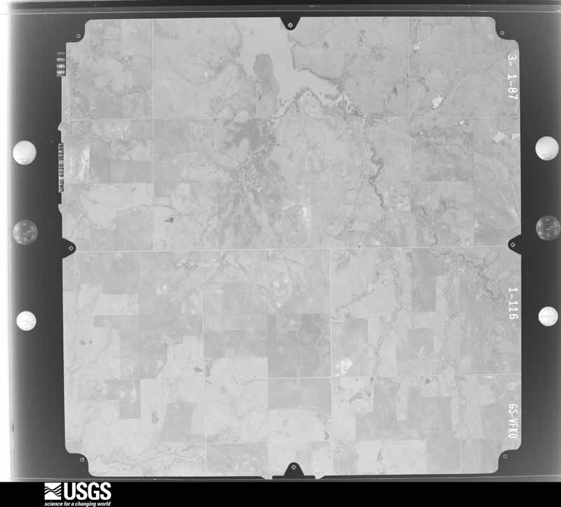
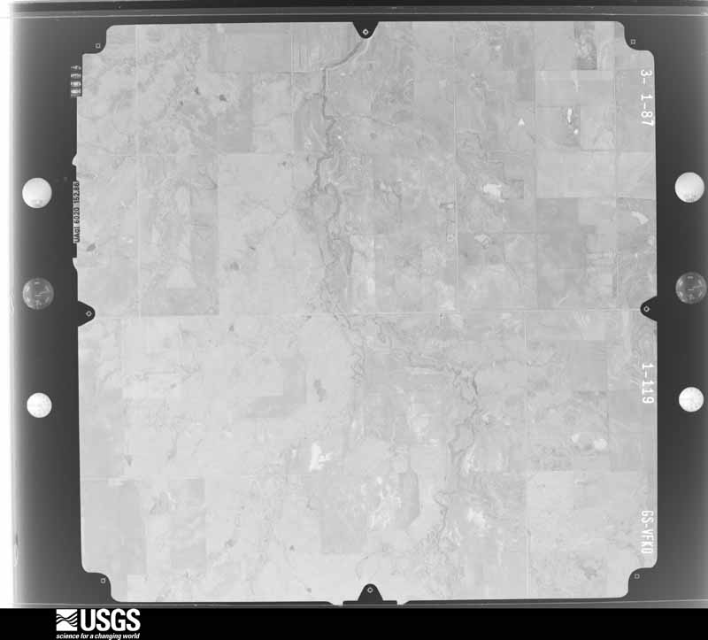
Flown by the U.S. Geological Survey between 1937 and 1989, the Aerial Photo Single Frames collection is the definitive mid-century view of the land: fields, roads and rivers as the camera saw them. The Survey holds 2,672 frames inside the rectangle that bounds this county; the 47 frames below were taken over the county itself, chosen across the decades of flights (at most four a year from that rectangle), so one flight cannot crowd out the rest. The full set is free to browse and download at EarthExplorer under the dataset Aerial Photo Single Frames.

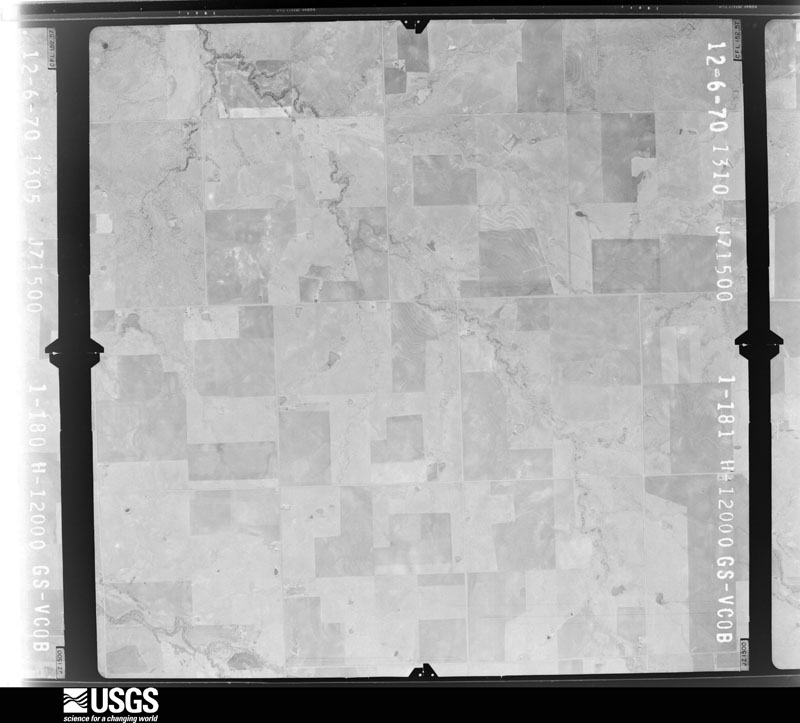
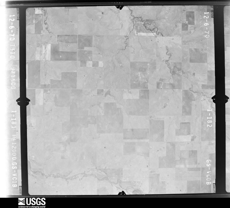
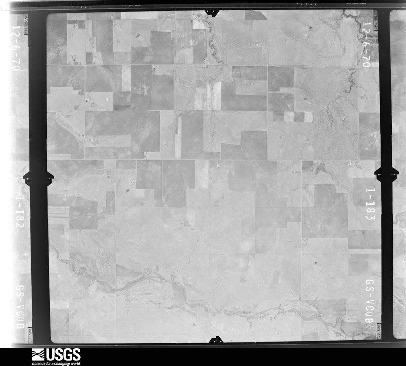
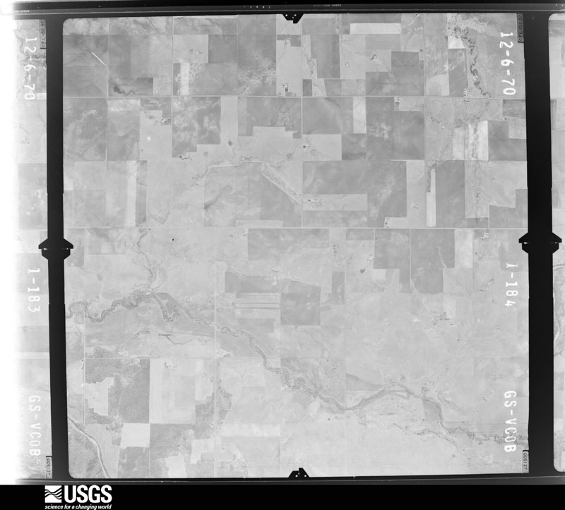
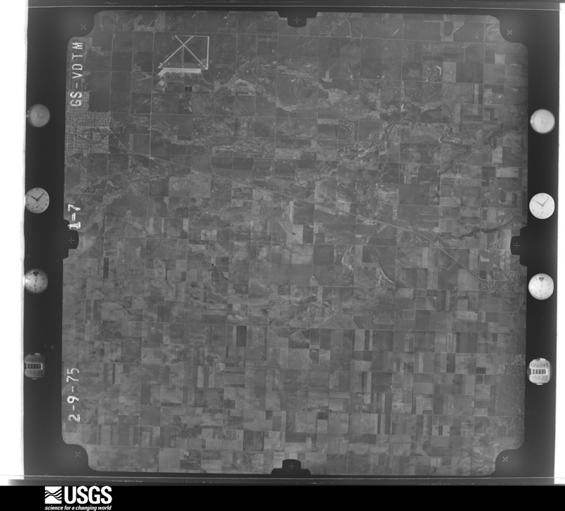
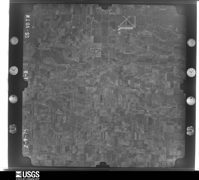
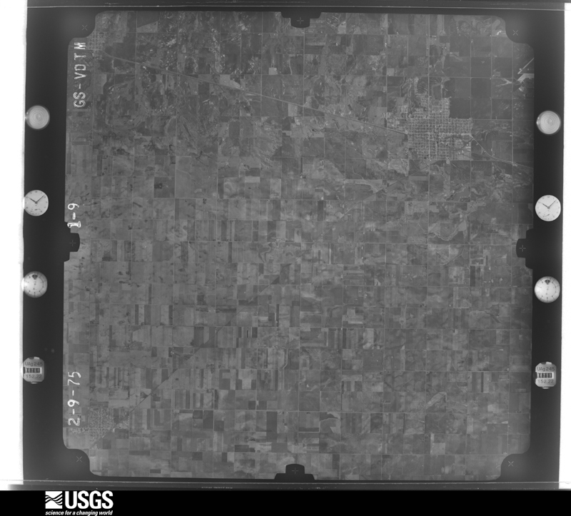
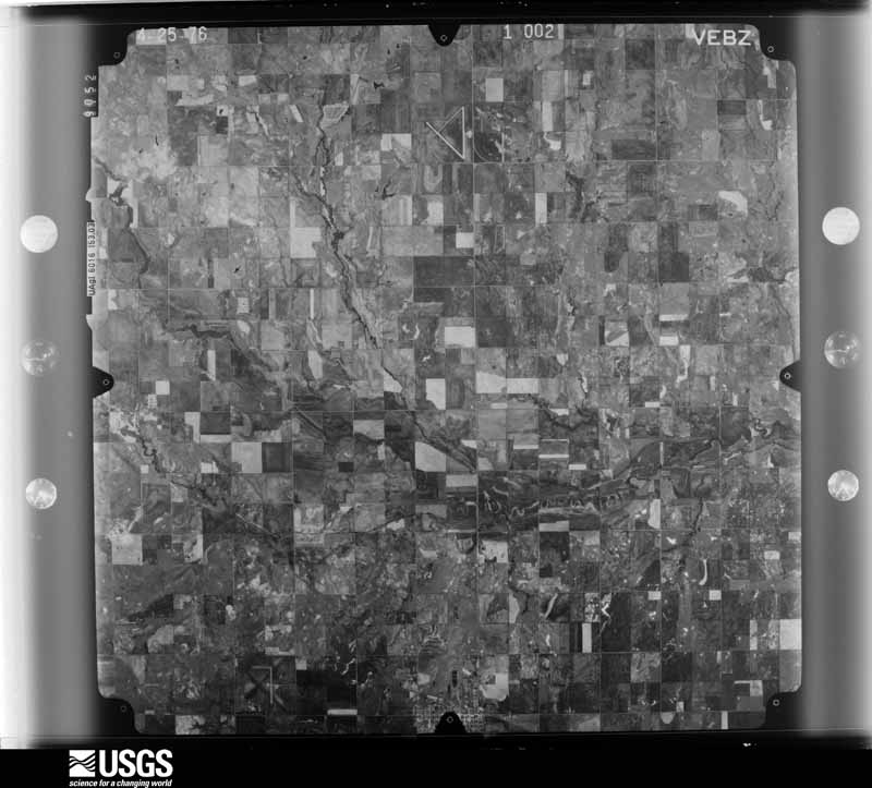
The thermometers that kept this county's weather, and the gages that measured the flow of its streams, as the federal records hold them. The extremes below are measured values from those records, not estimates.
Who lived here in 1950, one enumeration district at a time, as the Census Bureau described each district. Each row opens its official National Archives result, with Population Schedules and ED Maps available there.
Every wildfire the federal occurrence database records inside this county: 10 of them, burning about 3,015 acres. 1 started naturally and none was recorded as arson. Each settlement page carries the fires within five miles of it.
| Reported cause | Fires |
|---|---|
| Debris and open burning | 4 |
| Missing data/not specified/undetermined | 3 |
| Equipment and vehicle use | 1 |
| Fireworks | 1 |
| Natural | 1 |
The five largest, by the area the report gives. None of them was recorded as arson.
| Date | Cause | Size | Reported by | Name on the report |
|---|---|---|---|---|
| 13 February 2008 | Missing data/not specified/undetermined | 2,300 acres | Wichita Mountains National Wildlife Refuge | LAKE FREDRICK |
| 18 March 2009 | Debris and open burning | 380 acres | Anadarko Agency | SANKADOTA |
| 7 October 2010 | Debris and open burning | 118 acres | Anadarko Agency | HACKBERRY |
| 19 June 2010 | Debris and open burning | 99 acres | Anadarko Agency | COWBOY SPRINGS |
| 14 June 2006 | Fireworks | 39 acres | Anadarko Agency | ISADORE |
| 20 August 2010 | Equipment and vehicle use | 34 acres | Anadarko Agency | CORNER GIN |
| 30 March 2011 | Debris and open burning | 25 acres | Anadarko Agency | BURKE BET |
| 23 September 2000 | Missing data/not specified/undetermined | 10 acres | Anadarko Agency | SPRINGY |
Every settlement page carries the fires within five miles of it - see the settlement index below.
The NOAA Storm Events Database holds 972 reports for this county, causing no deaths, 67 injuries and about $13,718,400 in recorded property damage. Each settlement page carries the reports that name it.
| Kind of event | Reports |
|---|---|
| Hail | 454 |
| Thunderstorm Wind | 392 |
| Tornado | 91 |
| Flash Flood | 23 |
| Flood | 8 |
| Lightning | 2 |
| Funnel Cloud | 1 |
| Heavy Rain | 1 |
The most serious of them, by death, then injury, then recorded damage. The accounts are quoted exactly as the forecast office filed them.
| When | Event | Place named | Harm | What the report says |
|---|---|---|---|---|
| June 1973 | Tornado (F0) | not stated | 29 hurt, $2,500,000 | no account filed |
| June 1973 | Tornado (F3) | not stated | 29 hurt, $250,000 | no account filed |
| April 1979 | Tornado (F2) | not stated | 3 hurt, $2,500,000 | no account filed |
| October 2000 | Flash Flood | Countywide | 2 hurt, $75,000 | In the city of Tipton, 6 homes were flooded at 2020 CST, and several streets were covered with a half foot of water. At 2130 CST a couple was rescued from their home 3 miles east of Manitou, while at 2200 CST a family was rescued from their home 1 mile east of Frederick, both due to high water. At 0000 CST a vehicle traveling on Red River Gin Road, 3 miles south of Frederick, was swept off the road and into a creek. Both occupants were rescued by boat and treated for injuries, one for a broken leg and the other for lacerations. Many roads, including large segments of Highway 183, were closed during this time. |
| May 2001 | Tornado (F1) | Grandfield | 1 hurt, $250,000 | This brief tornado formed on the west side of Grandfield near Highway 70 and tracked northward for approximately 1/2 mile, covering a distance of 5 to 6 blocks. Two grain storage bins were destroyed. The wall of a garage was blown out. Power poles were snapped, and large trees were pulled out of the ground and layed within 50 feet of their original location. In addition, stadium bleachers were blown over, and a chain-linked fence was destroyed. One man was injured when he was blown out of a barn. |
| April 1979 | Tornado (F4) | not stated | 1 hurt, $250,000 | no account filed |
| April 1979 | Tornado (F2) | not stated | 1 hurt, $250,000 | no account filed |
| June 1952 | Tornado (F2) | not stated | 1 hurt, $2,500 | no account filed |
| May 1982 | Tornado (F2) | not stated | $2,500,000 | no account filed |
| April 2013 | Tornado (EF1) | Grandfield | $500,000 | Multiple spotter and storm chaser reports of a tornado. Damage occurred a the Grandfield airport. The tornado has been assigned a preliminary EF-1 rating. |
| July 1995 | Thunderstorm Wind | Frederick | $500,000 | no account filed |
| April 1994 | Thunderstorm Wind | Tipton | $500,000 | no account filed |
| August 2018 | Thunderstorm Wind | Hollister | $300,000 | Around 110 power poles were downed including several double poled transmission poles. Windows were blown out of 10 homes, a newly constructed barn was destroyed and numerous trailer homes and outbuildings had tin lifted from their roofs. Also, multiple trees were downed. Time estimated from radar. |
| May 1986 | Tornado (F1) | not stated | $250,000 | no account filed |
| May 1977 | Tornado (F3) | not stated | $250,000 | no account filed |
| May 1973 | Tornado (F1) | not stated | $250,000 | no account filed |
| March 1963 | Tornado (F1) | not stated | $250,000 | no account filed |
| May 1954 | Tornado (F3) | not stated | $250,000 | no account filed |
| March 2004 | Thunderstorm Wind | Grandfield | $200,000 | A hanger with a plane and boat inside was destroyed at the Chattanooga Airport. The irreplaceable plane inside the hanger was heavily damaged. |
| September 1997 | Flash Flood | Tipton | $125,000 | After 9.5 inches of rain fell in less than 24 hours, with most of the rain falling in a 4 hour period from 21:30 CST on the 22nd to 01:30 CST on the 23rd, streets of Tipton looked more like rivers than roads. Water up to five feet deep flowed down Main Street in downtown. At least 19 residences, 4 businesses, a post office, and a church were flooded. Highway 5 near town was also impassable. |
| April 2025 | Thunderstorm Wind | Grandfield | $100,000 | Numerous relayed images showing widespread thunderstorm wind damage across the community of Grandfield. Damage included light roof damage to multiple buildings, large tree limbs blown down and a large metal carport lofted into a tree. Event time is estimated from radar observations and a severe wind gust at the nearby Grandfield Mesonet. |
| April 2002 | Hail | Grandfield | $100,000 | Hail damage was sustained to vehicles and trees. |
| April 2025 | Thunderstorm Wind | Loveland | $75,000 | Relayed images showing thunderstorm wind damage including multiple metal outbuildings either significantly damaged or destroyed, large trees and tree limbs blown down and a large horse trailer blown over. Event time is estimated from radar observations. |
| May 1999 | Flash Flood | Frederick | $60,000 | no account filed |
| May 2025 | Thunderstorm Wind | Tipton | $50,000 | A probable heat burst event produced widespread wind damage in and around the community of Tipton. Damage included a grain bin that was blown over, the porch of a house collapsed, and multiple large tree limbs blown down. The location is approximate, and the event time is estimated based on wind gusts at the nearby Tipton Mesonet site. |
| April 2025 | Flash Flood | Tipton | $50,000 | A relayed image showing significant roadway flooding around the community of Tipton, with at least one vehicle stranded in floodwaters. Event time is approximate. |
| April 2024 | Tornado (EF1) | Hollister | $50,000 | This tornado was first observed by a storm chaser at 932 pm CDT and likely formed near County Road E1830 just east of County Road N2320. Over the next 40 minutes, the tornado meandered slowly eastward along E1830 Road then turned northeast reaching near N2360 Road and E1820 Road. The tornado then turned and moved west-northwest along EW1820 Road finally dissipating near N2340 Road. The tornado occurred in a very rural area of Tillman County, although two farm homes were damaged near the easternmost point of the tornado path. A few barns were also damaged, otherwise the damage was primarily to trees and a few power poles. ||Although the damage is rated as EF1, velocity data from the nearby KFDR radar gives strong indication that the tornado may have been much stronger than observed damage would indicate. The maximum observed rotational velocity from KFDR reached 114 knots. |
| November 2024 | Thunderstorm Wind | Loveland | $50,000 | A swath of significant straight-line winds, associated with an evident mesovortex signature on radar, caused widespread wind damage along Oklahoma Highway 5 in far northeastern Tillman County. Damage included irrigation pivots overturned, a three-thousand-pound feeder displaced several feet, a semi-trailer blown over and large tree limbs blown down. Event time is radar-estimated. |
| May 2022 | Thunderstorm Wind | Hollister | $50,000 | South of the tornado that passed south of Hollister, very strong winds associated with the read-flank downdraft area of the storm also produced significant damage. A power pole was damaged near the intersection of county roads E1880 and N2280. Farther east, a trailer was rolled and blown into the road along SH-54. A storm chaser in the vicinity of this location estimated RFD winds of approximately 100 mph. |
| October 2021 | Tornado (EF1) | Frederick | $50,000 | This tornado developed 3.5 miles southwest of Fredrick and moved north or just east of due north for 7 miles. A barn had significant wall damage to the northwest of Frederick. Otherwise, there were a few pivot irrigators that were tipped over to the southwest and west of Frederick, and tree and power pole damage was also observed along the path. |
| September 2005 | Thunderstorm Wind | Tipton | $50,000 | Significant roof damage along with damage to walls and windows occurred to the only grocery store in town. Numerous power poles were downed. Trees were also damaged. |
| April 1994 | Thunderstorm Wind | W Frederick | $50,000 | no account filed |
| April 1994 | Thunderstorm Wind | Frederick | $50,000 | no account filed |
| April 1994 | Thunderstorm Wind | NE Frederick | $50,000 | no account filed |
| April 1994 | Thunderstorm Wind | Frederick | $50,000 | no account filed |
| May 1993 | Thunderstorm Wind | Frederick Airport | $50,000 | no account filed |
| July 2024 | Thunderstorm Wind | Manitou | $35,000 | Multiple relayed images showing thunderstorm wind damage around the Lake Fredrick Campground area. This included multiple large tree limbs blown down, the metal roof of a dock blown off, a light pole blown down, and a camper trailer blown onto its side. Time is radar estimated. |
| March 2004 | Thunderstorm Wind | Frederick | $35,000 | A grain silo and show barn were destroyed. |
| April 1996 | Thunderstorm Wind | Frederick | $31,000 | no account filed |
| October 2023 | Thunderstorm Wind | Frederick | $30,000 | Widespread wind damage occurred in the community of Frederick. The most significant damage was near the intersection of South Main Street and Dahlia Avenue, where a large (older) brick building had its roof and exterior walls collapse. Additional damage included a large barn with total roof collapse, numerous large trees/limbs snapped or blown down and sporadic light roof damage. Time is radar estimated. |
| May 2001 | Thunderstorm Wind | Frederick | $30,000 | A church steeple was blown off. |
| May 1986 | Tornado (F0) | not stated | $25,000 | no account filed |
| May 1983 | Tornado (F1) | not stated | $25,000 | no account filed |
| May 1978 | Tornado (F1) | not stated | $25,000 | no account filed |
| April 1967 | Tornado (F1) | not stated | $25,000 | no account filed |
| April 1965 | Tornado (F1) | not stated | $25,000 | no account filed |
| July 1958 | Tornado (F1) | not stated | $25,000 | no account filed |
| May 1957 | Tornado (F1) | not stated | $25,000 | no account filed |
| June 1955 | Tornado (F2) | not stated | $25,000 | no account filed |
| May 1954 | Tornado (F2) | not stated | $25,000 | no account filed |
| June 1951 | Tornado (F2) | not stated | $25,000 | no account filed |
| April 2024 | Thunderstorm Wind | Frederick Arpt | $20,000 | Sections of the roof of an airport hangar peeled back by thunderstorm wind. Time is radar estimated. |
| October 2023 | Thunderstorm Wind | Frederick | $20,000 | Relayed image showing silo and machine shed damage at an agricultural facility. Time is radar estimated. |
| May 2022 | Thunderstorm Wind | Tipton | $20,000 | Power poles were snapped and trees damaged by thunderstorm winds to the northeast of Tipton. |
| May 2022 | Thunderstorm Wind | Frederick | $20,000 | Wind damage was observed along E1850 road where a power pole was broken near N2190 Road. Farther east, winds damaged fences and buildings with sheet metal blown around. |
| May 2018 | Thunderstorm Wind | Frederick Arpt | $20,000 | A large swath of very damaging thunderstorm winds developed near the Frederick airport and moved east-southeast toward Hollister and Loveland. Wind speeds of 109 mph were measured by an observer south or southeast of the Frederick airport and winds of 74 mph were measured by the ASOS at the Frederick airport (both listed below). The NWS storm survey team observed a large swath of damage that continued from this area to Hollister and areas south, and to near and just south of Loveland. At Hollister, outbuildings were significantly damaged and power poles were broken in an area from the south side of Hollister to an area 1.5 miles south of Hollister. To the southeast of Hollister, the damage path associated with this area of thunderstorm winds was observed to be 2.5 miles wide along county road NS232 with tree and power pole damage still consistent with 105-115 mph winds. As these wind approached Loveland, an EF2 tornado developed at 1747 CST approximately 3 miles northwest of Loveland on the north side of this area of thunderstorm winds. The tornado became the primary mechanism of damage as the thunderstorm winds and tornado moved into an area just south of Loveland. |
| May 2015 | Thunderstorm Wind | Grandfield | $20,000 | Numerous downed trees and single damage to at least one home. |
| March 2004 | Thunderstorm Wind | Grandfield | $20,000 | Power lines were downed between the intersection of Highway 36 and 5 to near Chattanooga. |
| April 2024 | Thunderstorm Wind | Hollister | $10,000 | Five power poles blown down near the intersection of East County Road 1840 and Oklahoma State Highway 54. Relayed by emergency management. Time is radar estimated. |
| April 2024 | Thunderstorm Wind | Loveland | $10,000 | Thunderstorm wind damage to fences and trees, along with portions of a barn roof removed. Time is radar estimated. |
The Survey's mineral resources record lists 66 workings inside this county. 4 still produce and 62 are closed or unrecorded. Each settlement page carries the workings within five miles of it.
| Commodity | Workings |
|---|---|
| Sand and Gravel, Construction | 61 |
| Clay | 4 |
| Copper | 1 |
The least common of them first, because a county's hundredth gravel pit says nothing its first ten did not.
| Where | Site | Commodity | Status | Recorded |
|---|---|---|---|---|
| Manitou East-1 | Copper | Occurrence | 1936 | |
| Unknown Shale Pit | Clay | Past Producer | ||
| Unknown Shale Pit | Clay | Past Producer | ||
| Unknown Shale Pit | Clay | Past Producer | ||
| Unknown Shale Pit | Clay | Past Producer | ||
| Southwest Sand & Gravel Sand Pit | Sand and Gravel, Construction | Producer | ||
| Unknown Gravel Pit | Sand and Gravel, Construction | Past Producer | ||
| Unknown Gravel Pit | Sand and Gravel, Construction | Past Producer | ||
| Unknown Gravel Pit | Sand and Gravel, Construction | Past Producer | ||
| Unknown Gravel Pit | Sand and Gravel, Construction | Past Producer | ||
| Unknown Gravel Pit | Sand and Gravel, Construction | Producer | ||
| Unknown Gravel Pit | Sand and Gravel, Construction | Past Producer | ||
| Unknown Gravel Pit | Sand and Gravel, Construction | Past Producer | ||
| Unknown Gravel Pit | Sand and Gravel, Construction | Past Producer | ||
| Unknown Gravel Pit | Sand and Gravel, Construction | Past Producer | ||
| Unknown Gravel Pit | Sand and Gravel, Construction | Past Producer | ||
| Unknown Gravel Pit | Sand and Gravel, Construction | Past Producer | ||
| Unknown Gravel Pit | Sand and Gravel, Construction | Past Producer | ||
| Unknown Gravel Pit | Sand and Gravel, Construction | Past Producer | ||
| Unknown Gravel Pit | Sand and Gravel, Construction | Past Producer | ||
| Unknown Gravel Pit | Sand and Gravel, Construction | Past Producer | ||
| Unknown Gravel Pit | Sand and Gravel, Construction | Past Producer | ||
| Unknown Gravel Pit | Sand and Gravel, Construction | Past Producer | ||
| Unknown Gravel Pit | Sand and Gravel, Construction | Past Producer | ||
| Unknown Gravel Pit | Sand and Gravel, Construction | Past Producer | ||
| Unknown Gravel Pit | Sand and Gravel, Construction | Past Producer | ||
| Unknown Gravel Pit | Sand and Gravel, Construction | Producer | ||
| Unknown Gravel Pit | Sand and Gravel, Construction | Past Producer | ||
| Unknown Gravel Pit | Sand and Gravel, Construction | Past Producer | ||
| Unknown Gravel Pit | Sand and Gravel, Construction | Past Producer | ||
| Unknown Gravel Pit | Sand and Gravel, Construction | Past Producer | ||
| Unknown Gravel Pit | Sand and Gravel, Construction | Past Producer | ||
| Unknown Gravel Pit | Sand and Gravel, Construction | Past Producer | ||
| Unknown Gravel Pit | Sand and Gravel, Construction | Past Producer | ||
| Unknown Gravel Pit | Sand and Gravel, Construction | Past Producer | ||
| Unknown Gravel Pit | Sand and Gravel, Construction | Past Producer | ||
| Unknown Gravel Pit | Sand and Gravel, Construction | Past Producer | ||
| Unknown Gravel Pit | Sand and Gravel, Construction | Past Producer | ||
| Unknown Gravel Pit | Sand and Gravel, Construction | Past Producer | ||
| Unknown Gravel Pit | Sand and Gravel, Construction | Past Producer | ||
| Unknown Gravel Pit | Sand and Gravel, Construction | Past Producer | ||
| Unknown Gravel Pit | Sand and Gravel, Construction | Past Producer | ||
| Unknown Gravel Pit | Sand and Gravel, Construction | Past Producer | ||
| Unknown Gravel Pit | Sand and Gravel, Construction | Past Producer | ||
| Unknown Gravel Pit | Sand and Gravel, Construction | Past Producer | ||
| Unknown Gravel Pit | Sand and Gravel, Construction | Past Producer | ||
| Unknown Gravel Pit | Sand and Gravel, Construction | Past Producer | ||
| Unknown Gravel Pit | Sand and Gravel, Construction | Past Producer | ||
| Unknown Gravel Pit | Sand and Gravel, Construction | Past Producer | ||
| Unknown Gravel Pit | Sand and Gravel, Construction | Past Producer | ||
| Unknown Gravel Pit | Sand and Gravel, Construction | Past Producer | ||
| Unknown Gravel Pit | Sand and Gravel, Construction | Past Producer | ||
| Unknown Gravel Pit | Sand and Gravel, Construction | Past Producer | ||
| Unknown Gravel Pit | Sand and Gravel, Construction | Past Producer | ||
| Unknown Sand Pit | Sand and Gravel, Construction | Past Producer | ||
| Unknown Sand Pit | Sand and Gravel, Construction | Past Producer | ||
| Unknown Sand Pit | Sand and Gravel, Construction | Past Producer | ||
| Unknown Shale Pit | Sand and Gravel, Construction | Past Producer |
Named settlements recorded in the Geographic Names Information System, each with the topographic sheets covering it. Villages, hamlets and abandoned places alike. Each is shown with the nearest named watercourse or landform and the survey quadrangle it falls on. The 4 places that were also surveyed for fire insurance come first, with the number of atlases and photographs held for them.
Davidson census division · 73530 · Davidson quadrangle
9 sheets, 1955 to 1986
Fire insurance: 2 atlases
Frederick census division · 73542 · Frederick quadrangle
9 sheets, 1955 to 1986
Fire insurance: 5 atlases
East Tillman census division · 73546 · Grandfield quadrangle
9 sheets, 1955 to 1985
Fire insurance: 4 atlases
Tipton census division · 73570 · Tipton quadrangle
9 sheets, 1955 to 1985
Fire insurance: 4 atlases
Davidson census division · 73530 · Cowboy Springs quadrangle
9 sheets, 1955 to 1985
9 topographic sheets and 5 fire insurance atlases, 1910 to 1949
9 topographic sheets and 4 fire insurance atlases, 1914 to 1930
9 topographic sheets and 4 fire insurance atlases, 1912 to 1930