 Block
Manitou, Oklahoma
11 topographic sheets cover this place, the earliest surveyed in 1950 and the latest in 1991. It stands in the Frederick census division. It lies in ZIP code area 73555. The Survey maps it on the Manitou quadrangle. 171 people lived here at the 2020 count. It stands 1,257 feet above sea level.
On record in Manitou
Buildings and businesses the archive holds for this place. Each opens its own page, with the source record it came from.
On the National Register 1 record
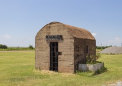 Manitou Jaillisted 2016
Population over time
2 figuresManitou fell from 181 to 171 between 2010 and 2020. These are the recorded population figures Wikidata holds for this place, reached through the Geographic Names Information System number this page is keyed on rather than by name, so they belong to this place and not to another of the same name. Most are census counts, but not all are: an early figure may be a founding or settlement estimate, and an estimate published within five years of a census is left out. The change column is computed, and is left blank where more than 20 years separate a figure from the one before it, because a gap that long is not a change between two counts.
| Year | People | Change |
|---|---|---|
| 2010 | 181 | |
| 2020 | 171 | -10 (-6%) |
Topographic sheets covering this place
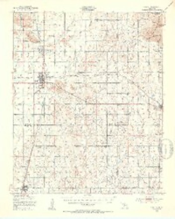
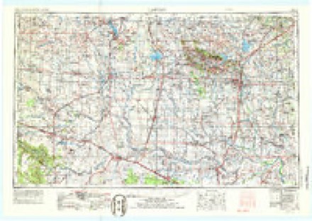
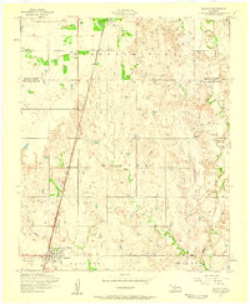
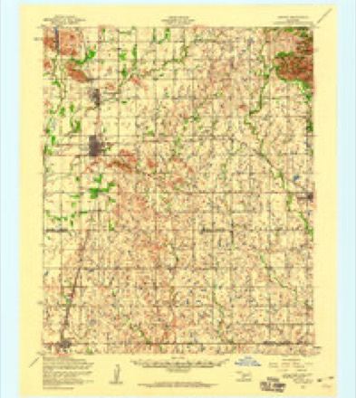
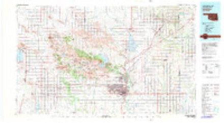
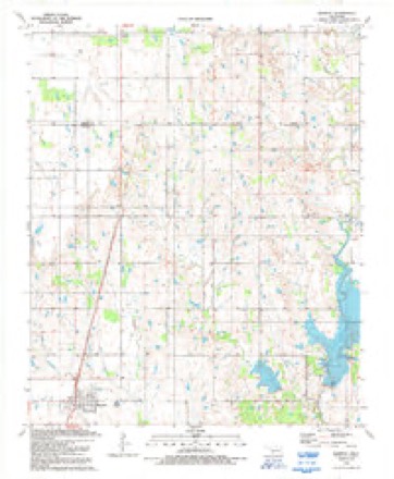
6 surveys from 11 printed sheetsMatched by testing this settlement's coordinate against the published boundary of every sheet in the United States Geological Survey's historical collection. Each opens the scanned sheet at the Survey.
- 1950 USGS Snyder quadrangle1:62500, 2 printings
- 1955 USGS Lawton quadrangle1:250000, 5 printings
- 1956 USGS Manitou quadrangle1:24000
- 1956 USGS Snyder quadrangle1:62500
- 1981 USGS Lawton quadrangle1:100000
- 1991 USGS Manitou quadrangle1:24000
Mines and quarries near this place
1 within 5 milesRegional context, not property-specific evidence. The federal mineral resources record lists 1 working within 5 miles of Manitou: 1 occurrence. None of them still produces. What was taken out: Copper. Distance is straight-line from the map coordinates, so a quarry counted here may appear on a neighbouring settlement's page as well.
| Where | Site | Commodity | Status | Recorded |
|---|---|---|---|---|
| Manitou East-1 | Copper | Occurrence | 1936 |
Storms near this place
60 of 78 shownRegional context, not property-specific evidence. The National Weather Service names Manitou in 78 storm reports between 1993 and 2025: 53 hail, 13 thunderstorm wind, 7 tornado, 4 flash flood. No death or injury is recorded in these reports. Each account below is quoted exactly as the forecast office filed it, from the NOAA Storm Events Database, and each date opens the federal record of that event.
| When | Event | Place named | Harm | What the report says |
|---|---|---|---|---|
| July 2024 | Thunderstorm Wind | Manitou | $35,000 | Multiple relayed images showing thunderstorm wind damage around the Lake Fredrick Campground area. This included multiple large tree limbs blown down, the metal roof of a dock blown off, a light pole blown down, and a camper trailer blown onto its side. Time is radar estimated. |
| May 2022 | Thunderstorm Wind | Manitou | $5,000 | Power poles were damaged along US-183 near the Tillman-Kiowa County line. |
| May 2016 | Thunderstorm Wind | Manitou | $5,000 | Power flashes observed around 2 miles north of Frederick. |
| October 2021 | Tornado (EF1) | Manitou | $4,000 | A tornado was observed for two minutes moving from Tillman County into Kiowa County. A barn roof and a few trees were damaged near the county line. |
| May 2004 | Tornado (F0) | Manitou | $1,000 | This brief tornado was observed by storm chasers damaging some trees before dissipating. |
| May 2004 | Tornado (F0) | Manitou | $1,000 | Several storm chasers observed this narrow tornado damaging some trees before dissipating. |
| February 2000 | Hail | Manitou | $500 | Hail the size of baseballs (2.75 inches) destroyed the windshield of a law enforecement vehicle. |
| August 1997 | Thunderstorm Wind | Manitou | $500 | Severe thunderstorm winds downed several utility poles. |
| April 2025 | Flash Flood | Manitou | - | Emergency management relayed an image showing roadway flooding along North 2220 Road, just south of the Oklahoma Highway 5C intersection. Event time is approximate. |
| April 2025 | Flash Flood | Manitou | - | Roadway flooding along Baseline Road east of the community of Manitou. At least one water rescue was reported. Event time is approximate. |
| April 2025 | Flash Flood | Manitou | - | Confirmations from the public and local officials of roadway flooding along Baseline Road due to water rise from Horse Creek. Event time is approximate. |
| April 2024 | Hail | Manitou | - | Relayed by emergency management. |
| July 2024 | Hail | Manitou | - | Report relayed by emergency management. |
| June 2021 | Thunderstorm Wind | Manitou | - | Tree limbs (4 inch diameter) snapped. |
| June 2021 | Flood | Manitou | - | Twitter photo with water over roadways and getting close to homes. |
| May 2019 | Hail | Manitou | - | Reported through Mping. |
| October 2017 | Tornado (EFU) | Manitou | - | Numerous storm chasers observed and reported a brief landspout estimated to have occurred about 3 miles southeast of Manitou. No damage was reported. |
| April 2015 | Hail | Manitou | - | No known damage. |
| April 2015 | Hail | Manitou | - | Relayed by kswo. No known damage. |
| May 2015 | Flash Flood | Manitou | - | Southbound lane of Highway 183 covered in flood waters. |
| May 2012 | Hail | Manitou | - | Hail was reported on the Tillman county line along highway 183. |
| September 2012 | Hail | Manitou | - | Emergency manager reported quarter sized hail. |
| November 2011 | Tornado (EF0) | Manitou | - | Another large tornado developed west-northwest of Manitou, OK and moved north-northeast toward the Kiowa county border. The tornado crossed into Kiowa county just east of US Highway 183. |
| July 2009 | Thunderstorm Wind | Manitou | - | No damage was reported with the wind gust. |
| May 2004 | Hail | Manitou | - | Hail was observed at Lake Frederick. |
| May 2004 | Tornado (F0) | Manitou | - | This brief tornado was seen by several storm chasers touching down in open country. No damage was reported. |
| July 1994 | Thunderstorm Wind | Manitou | - | Thunderstorms in western Oklahoma during the early morning of the 26th produced damaging winds and damaging lightning. Thunderstorm winds downed large tree limbs in Laverne, Taloga, Manitou, Tipton, and Butler, knocked down a large tree in Watonga, and downed a power pole in Cordell. Lightning struck a house 10 miles west of Sharon resulting in minor damage. |
| November 2024 | Thunderstorm Wind | Manitou | - | no account filed |
| April 2024 | Hail | Manitou | - | no account filed |
| April 2024 | Hail | Manitou | - | no account filed |
| May 2023 | Hail | Manitou | - | no account filed |
| June 2021 | Hail | Manitou | - | no account filed |
| October 2021 | Hail | Manitou | - | no account filed |
| May 2020 | Hail | Manitou | - | no account filed |
| April 2020 | Hail | Manitou | - | no account filed |
| May 2019 | Hail | Manitou | - | no account filed |
| April 2019 | Hail | Manitou | - | no account filed |
| June 2018 | Hail | Manitou | - | no account filed |
| October 2017 | Hail | Manitou | - | no account filed |
| October 2017 | Hail | Manitou | - | no account filed |
| May 2017 | Hail | Manitou | - | no account filed |
| May 2016 | Thunderstorm Wind | Manitou | - | no account filed |
| May 2016 | Hail | Manitou | - | no account filed |
| April 2016 | Hail | Manitou | - | no account filed |
| April 2016 | Hail | Manitou | - | no account filed |
| April 2016 | Hail | Manitou | - | no account filed |
| April 2016 | Hail | Manitou | - | no account filed |
| May 2013 | Hail | Manitou | - | no account filed |
| April 2013 | Hail | Manitou | - | no account filed |
| May 2011 | Hail | Manitou | - | no account filed |
| June 2011 | Hail | Manitou | - | no account filed |
| May 2011 | Hail | Manitou | - | no account filed |
| April 2009 | Hail | Manitou | - | no account filed |
| March 2009 | Hail | Manitou | - | no account filed |
| March 2008 | Hail | Manitou | - | no account filed |
| April 2006 | Hail | Manitou | - | no account filed |
| April 2006 | Hail | Manitou | - | no account filed |
| June 2005 | Hail | Manitou | - | no account filed |
| May 2004 | Hail | Manitou | - | no account filed |
| May 2004 | Hail | Manitou | - | no account filed |
Nearest settlements
The eight closest, with where each one stands in the county. Distances are straight-line, computed from the Geographic Names Information System coordinates.
| Map | Place | Distance | Sheets |
|---|---|---|---|
| Burt | 6.5 miles | 9 | |
| Frederick | 8.2 miles | 9 | |
| Tipton | 8.4 miles | 9 | |
| Hollister | 12.9 miles | 8 | |
| Loveland | 17.9 miles | 8 | |
| Davidson | 19.0 miles | 9 | |
| Taylor Corner Gin | 20.2 miles | 9 | |
| Grandfield | 24.9 miles | 9 |
Elsewhere
Matched on this settlement's Geographic Names Information System number rather than its name, so it cannot be a different place of the same name in another state.
| Wikipedia article on Manitou | An encyclopaedic summary. Its text is share-alike, so it is linked here rather than copied. |
| Wikidata item Q961093 | The structured record the population and elevation above come from. Public domain (CC0). |
Provenance
This settlement is recorded in the Geographic Names Information System as feature 1095112. The sheet list is computed by point-in-boundary test against the United States Geological Survey's historical topographic inventory. Both are works of the United States government and carry no copyright under 17 U.S.C. 105.
Mines and quarries. USGS Mineral Resources Data System (MRDS) https://mrdata.usgs.gov/mrds/ A work of the United States government, no copyright under 17 U.S.C. 105.
Storms. NOAA National Centers for Environmental Information, Storm Events Database https://www.ncei.noaa.gov/stormevents/ A work of the United States government, no copyright under 17 U.S.C. 105. Narratives are quoted verbatim from the National Weather Service report and are not edited or summarised.