 Block
From the record
12 National Register listings published here, 1 of them a National Historic Landmark.
Sources: the National Register database, National Park Service
39 topographic sheets and 13 fire insurance atlases across 3 places.
12 National Register listings published here, 1 of them a National Historic Landmark.
Sources: the National Register database, National Park Service
Taken for the Office of War Information and the Farm Security Administration, who photographed the country between 1935 and 1944. Works of United States government photographers, with no known restriction on use. Each opens its catalogue record.





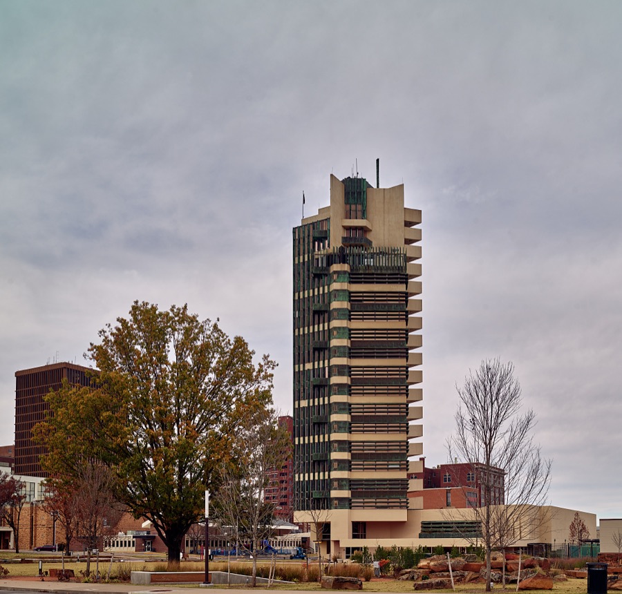

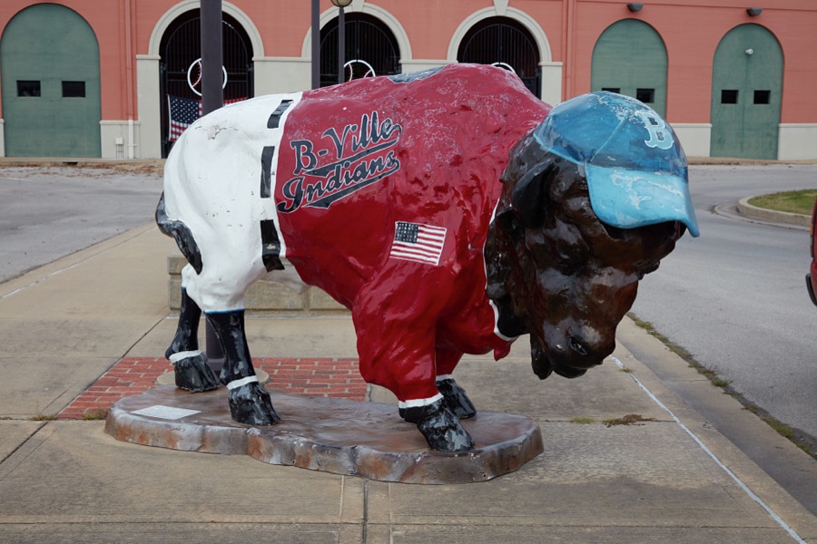

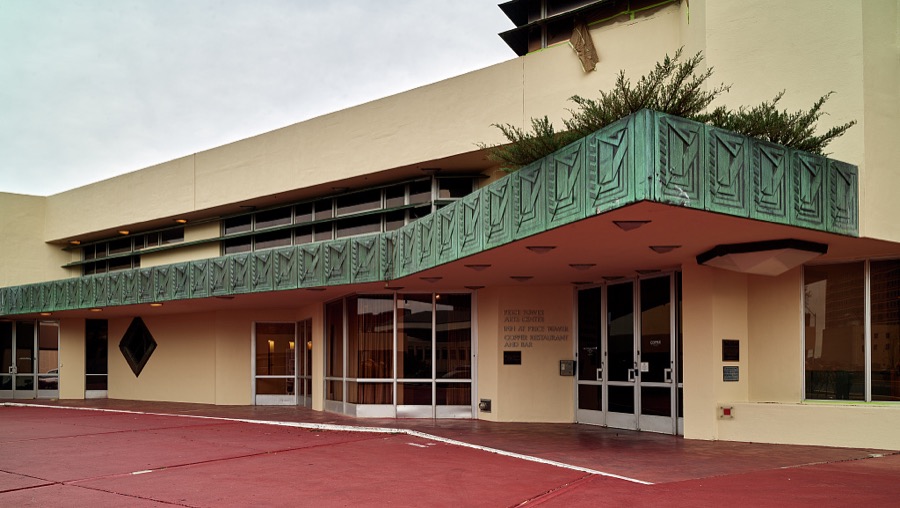

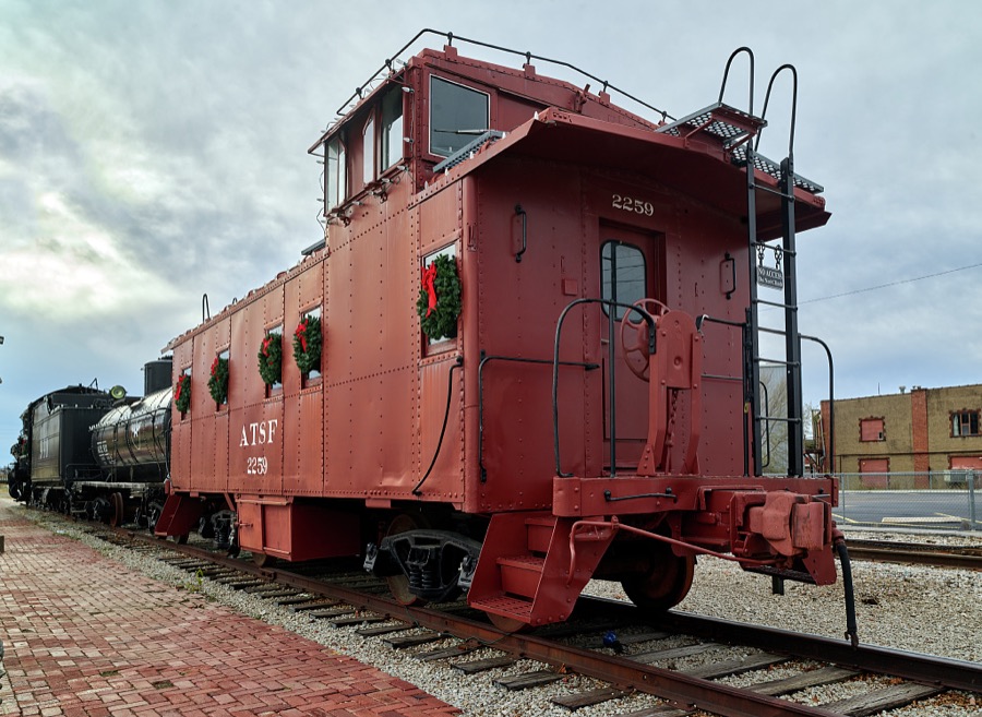
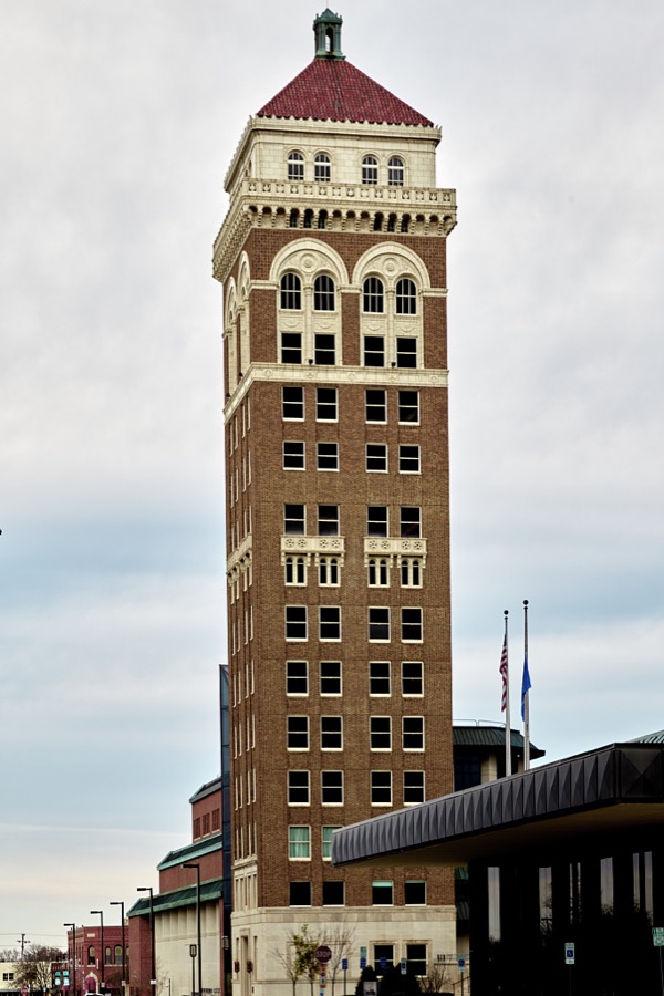



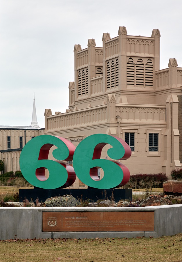



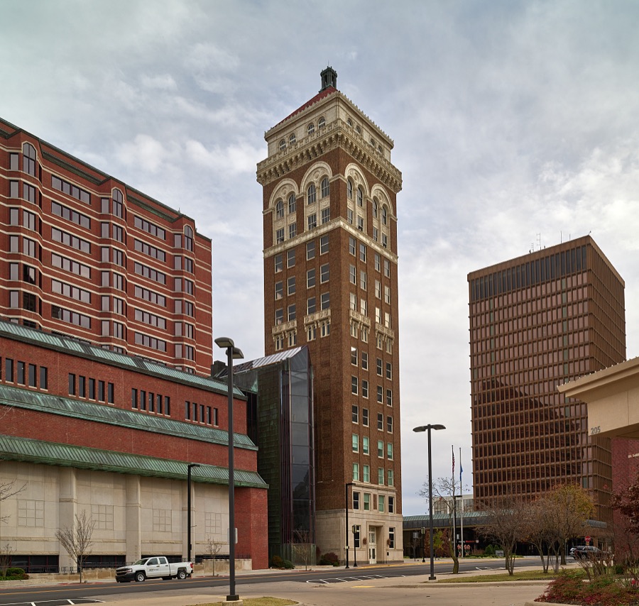
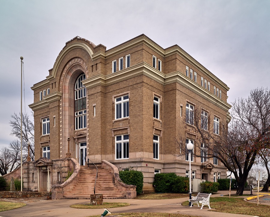

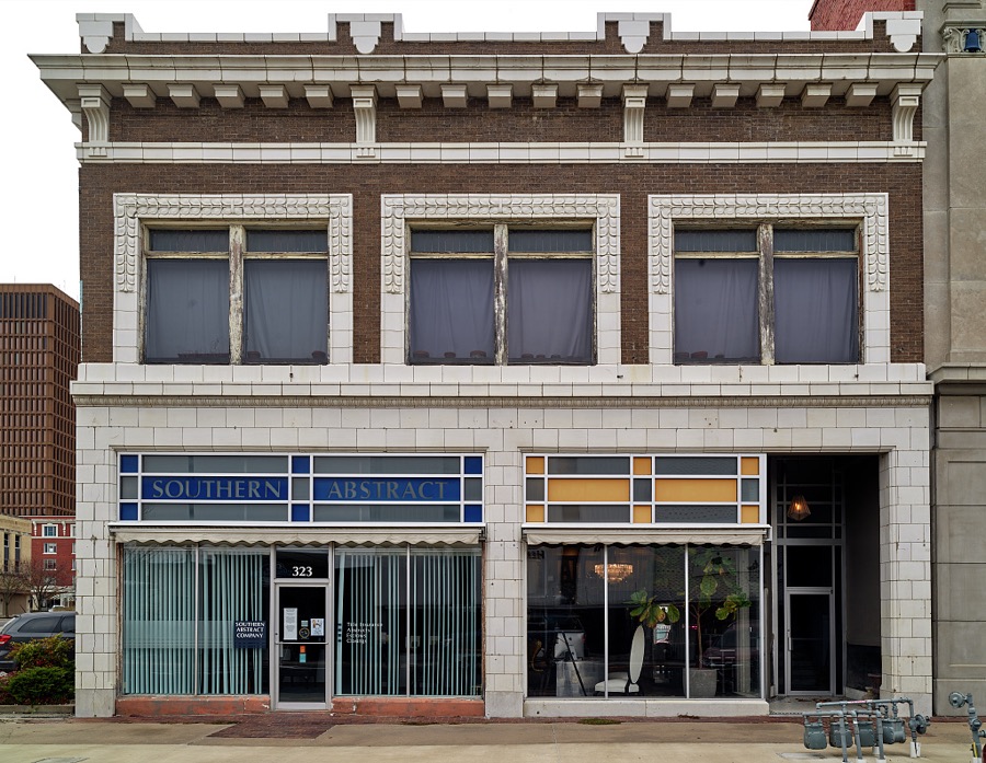
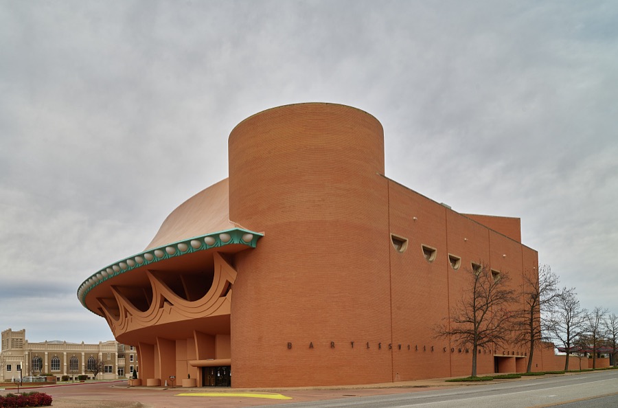
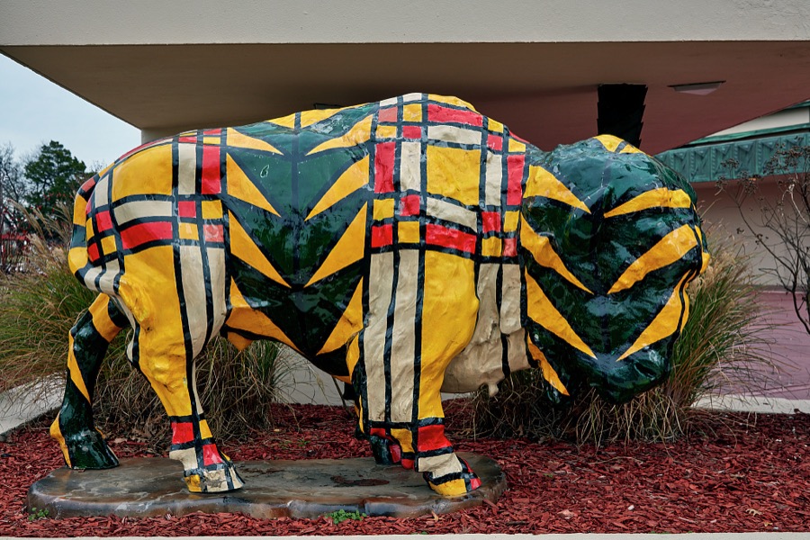


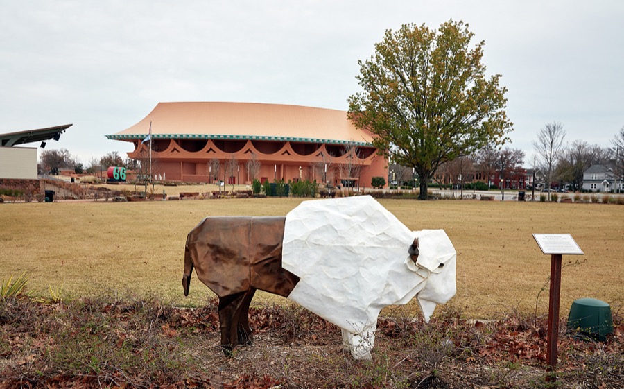

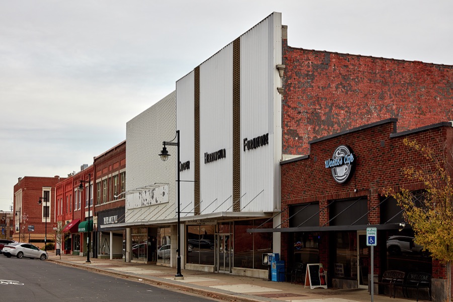
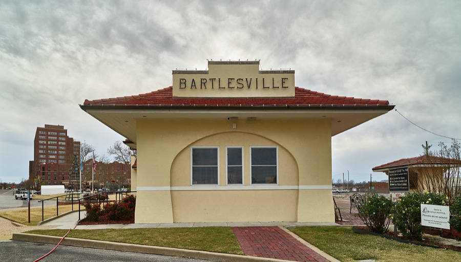
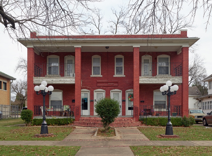
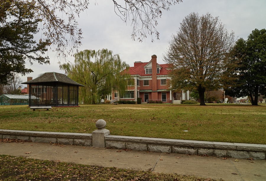
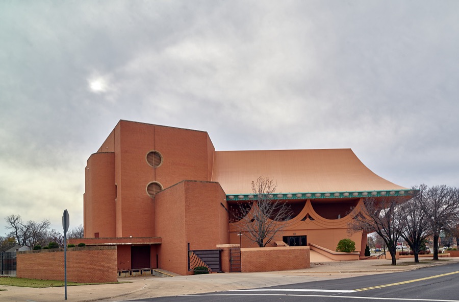
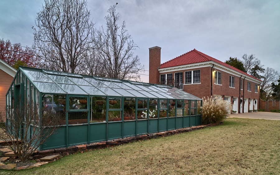

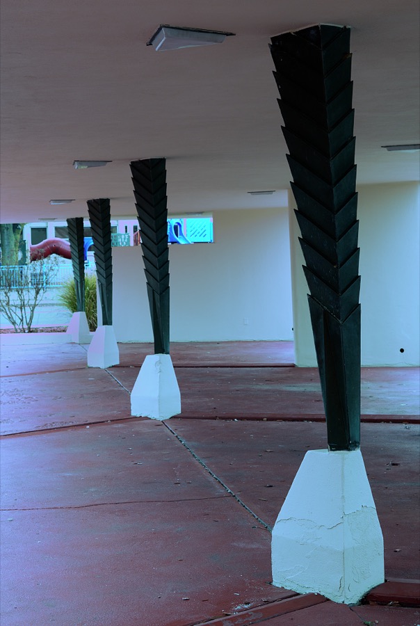


Every property in this county listed on the National Register of Historic Places, with the year it was listed and the federal nomination document.
| Photograph | Property | Type | Listed | Reference |
|---|---|---|---|---|
| Bartlesville Downtown Historic District | district | 1991 | 91001905 | |
| Civic Center | building | 1989 | 89002122 | |
 | C.A. Comer House | building | 2015 | 15000330 |
 | Dewey Hotel | building | 1975 | 75001578 |
| First United Methodist Church | building | 2020 | 100005865 | |
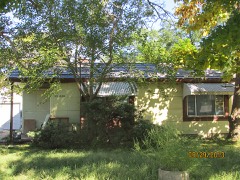 | House at 1554 SW Rogers | building | 2009 | 09000080 |
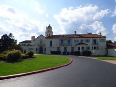 | LaQuinta | building | 1982 | 82003716 |
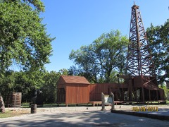 | Nellie Johnstone No. 1 | structure | 1972 | 72001077 |
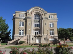 | Old Washington County Courthouse | building | 1981 | 81000469 |
 | Frank and Jane Phillips House | building | 1975 | 75001576 |
 | Price Tower | building | 1974 | 74001670 |
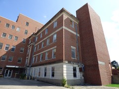 | Washington County Memorial Hospital | building | 2014 | 14000055 |
Drawn when these were printed as single large sheets: the town seen from the air, and the county divided into its farms with every owner named. Each opens the original at the Library of Congress.

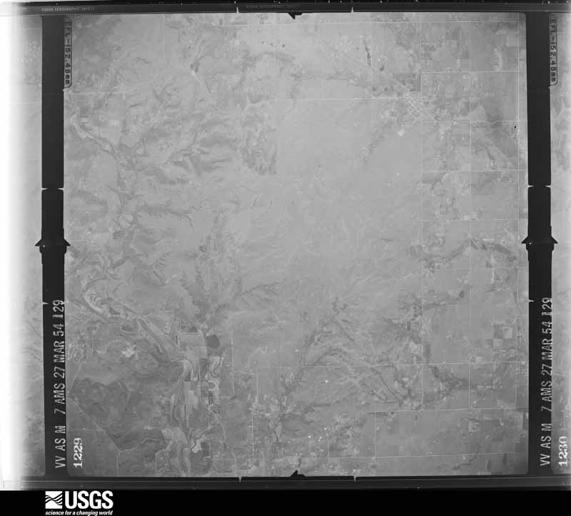
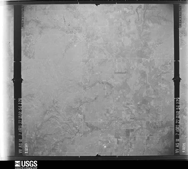
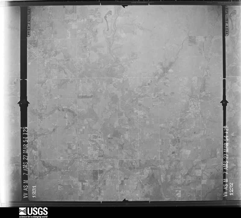
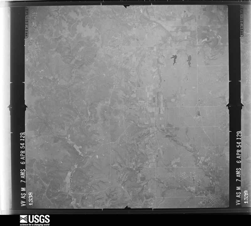
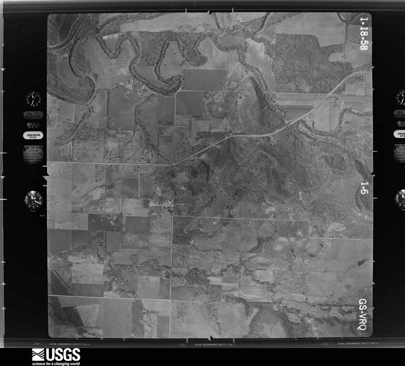
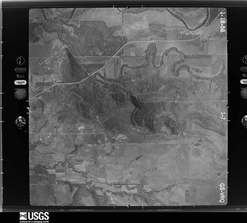
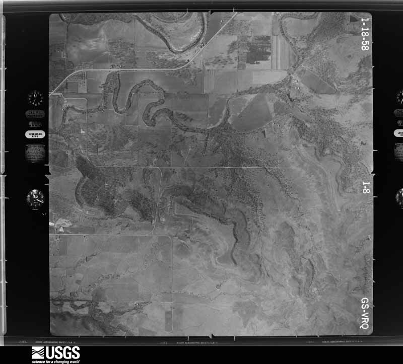
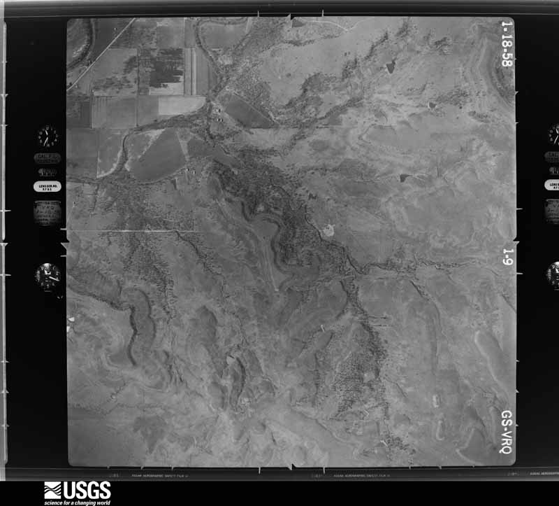
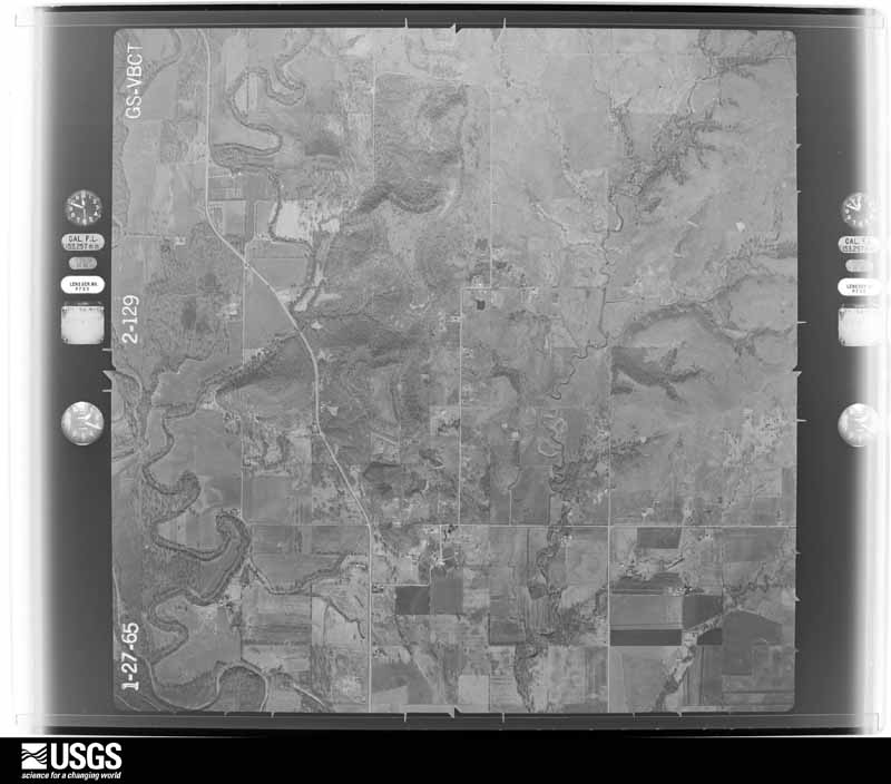
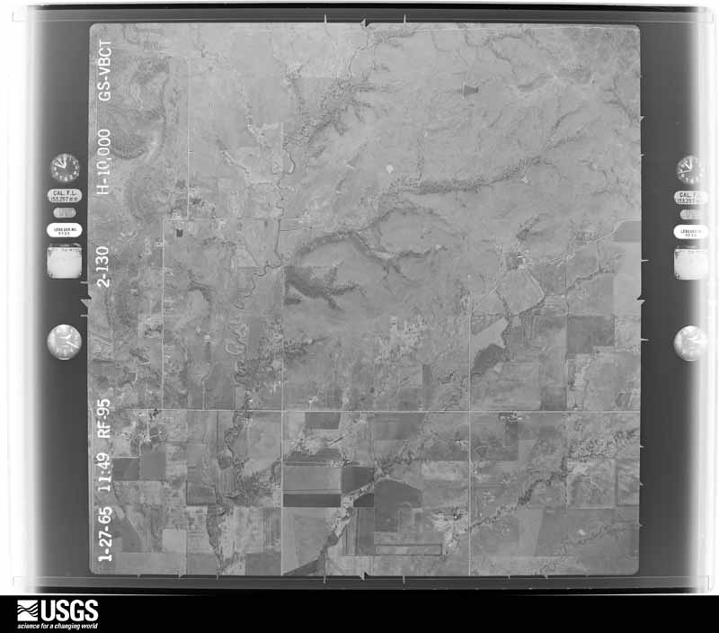
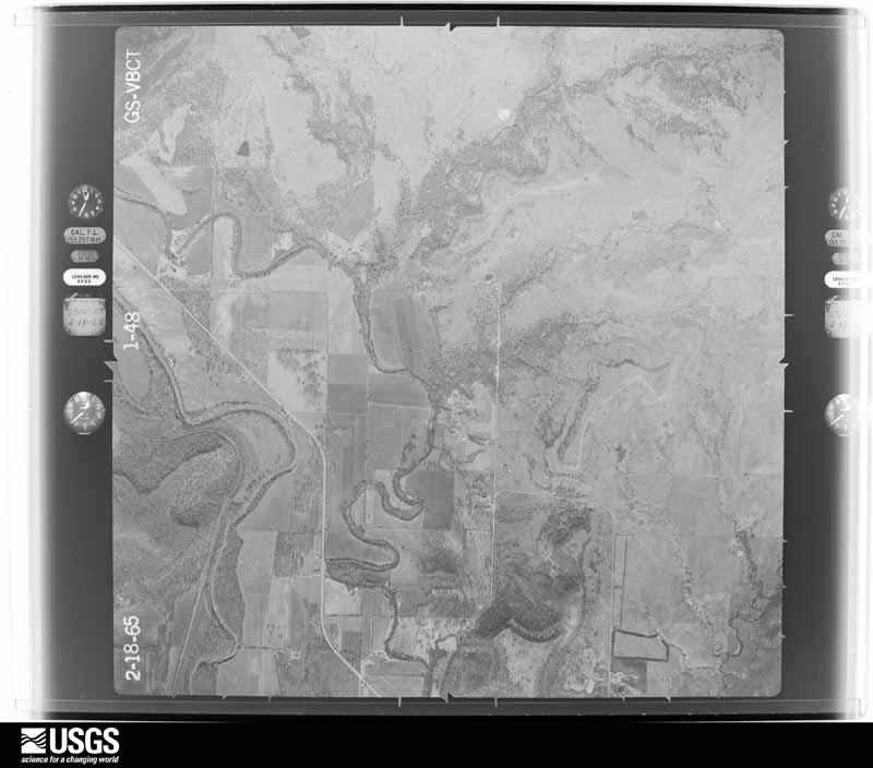
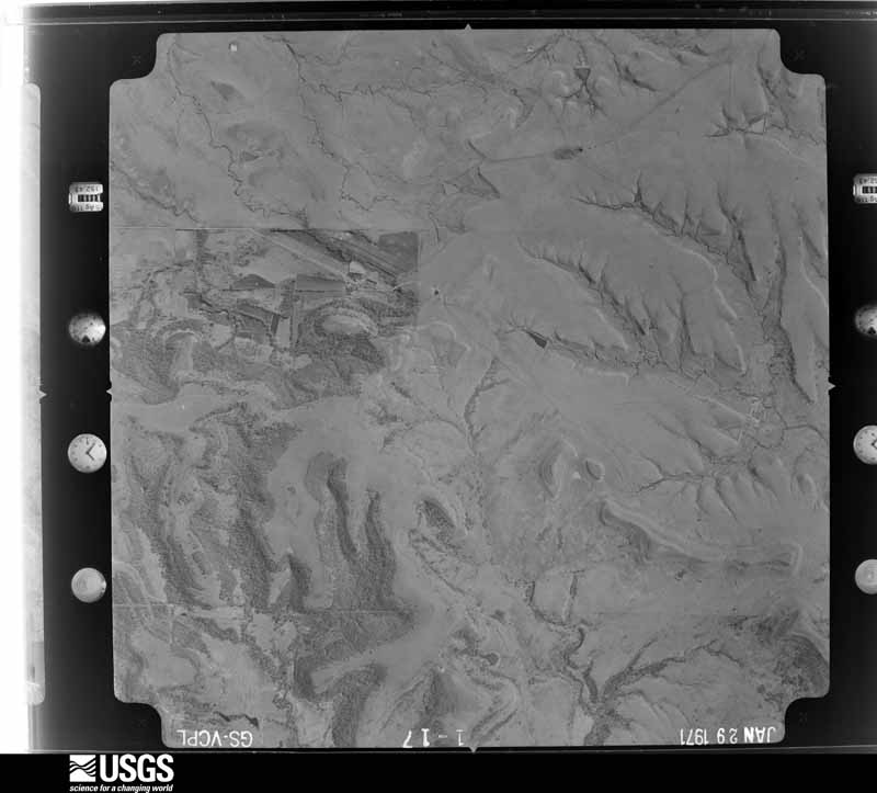
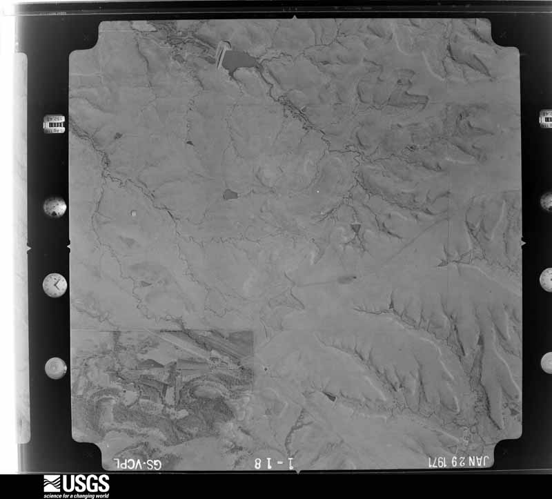
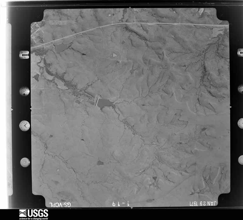
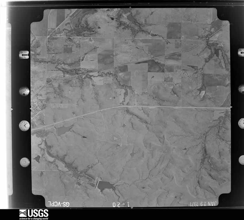
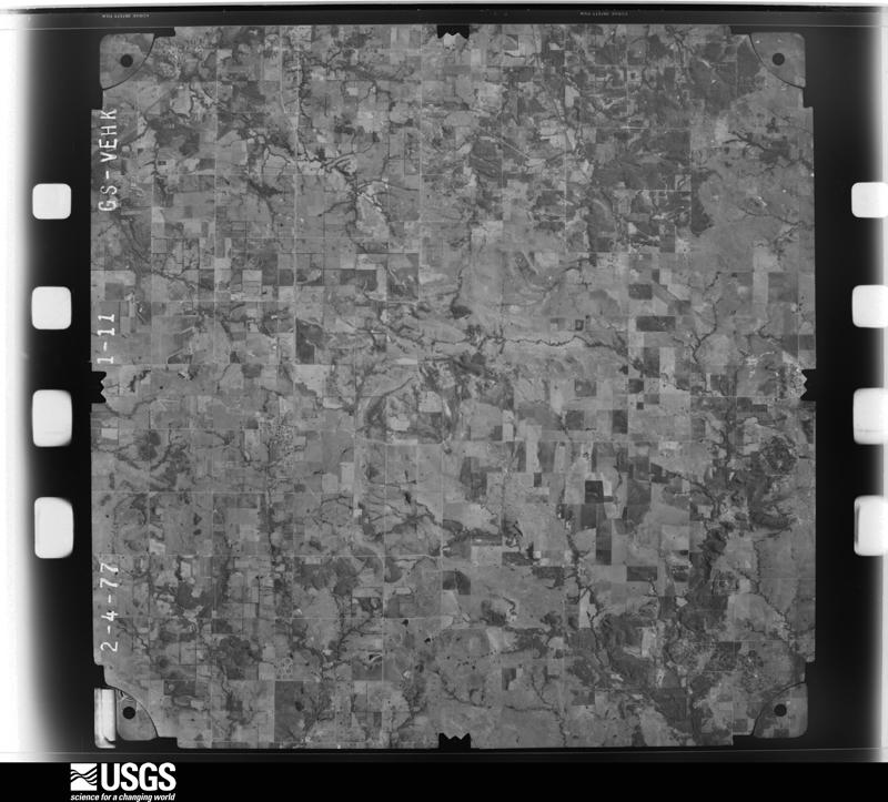
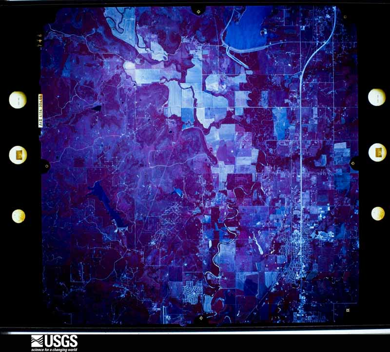
Flown by the U.S. Geological Survey between 1937 and 1989, the Aerial Photo Single Frames collection is the definitive mid-century view of the land: fields, roads and rivers as the camera saw them. The Survey holds 494 frames inside the rectangle that bounds this county; the 25 frames below were taken over the county itself, chosen across the decades of flights (at most four a year from that rectangle), so one flight cannot crowd out the rest. The full set is free to browse and download at EarthExplorer under the dataset Aerial Photo Single Frames.




The thermometers that kept this county's weather, and the gages that measured the flow of its streams, as the federal records hold them.
Who lived here in 1950, one enumeration district at a time, as the Census Bureau described each district. Each row opens its official National Archives result, with Population Schedules and ED Maps available there.
Every wildfire the federal occurrence database records inside this county: 75 of them, burning about 45,719 acres. 5 started naturally and 19 were recorded as arson. Each settlement page carries the fires within five miles of it.
| Reported cause | Fires |
|---|---|
| Missing data/not specified/undetermined | 20 |
| Arson/incendiarism | 19 |
| Debris and open burning | 17 |
| Equipment and vehicle use | 6 |
| Power generation/transmission/distribution | 6 |
| Natural | 5 |
| Other causes | 2 |
The five largest, by the area the report gives. One of them was set deliberately.
| Date | Cause | Size | Reported by | Name on the report |
|---|---|---|---|---|
| 11 November 2015 | Missing data/not specified/undetermined | 22,787 acres | Cherokee Nation Tribe | WOLF CREEK |
| 19 March 2016 | Arson/incendiarism | 12,468 acres | Osage Agency | BAR-DEW LAKE |
| 19 September 2000 | Missing data/not specified/undetermined | 2,500 acres | Oklahoma Division of Forestry | OSAGE HILLS |
| 13 April 2006 | Missing data/not specified/undetermined | 2,500 acres | Oklahoma Division of Forestry | MULLENDORE RANCH |
| 11 November 2015 | Missing data/not specified/undetermined | 1,984 acres | Cherokee Nation Tribe | LITTLE DEER |
| 26 November 2019 | Power generation/transmission/distribution | 800 acres | Oklahoma Division of Forestry | 4010 |
| 21 March 2017 | Missing data/not specified/undetermined | 544 acres | Oklahoma Division of Forestry | HOPPICK |
| 28 November 2010 | Natural | 352 acres | Cherokee Nation Tribe | GREYHOUND |
Every settlement page carries the fires within five miles of it - see the settlement index below.
The NOAA Storm Events Database holds 626 reports for this county, causing 1 death, 74 injuries and about $51,471,660 in recorded property damage. Each settlement page carries the reports that name it.
| Kind of event | Reports |
|---|---|
| Hail | 284 |
| Thunderstorm Wind | 259 |
| Tornado | 35 |
| Flash Flood | 35 |
| Flood | 11 |
| Funnel Cloud | 1 |
| Lightning | 1 |
The most serious of them, by death, then injury, then recorded damage. The accounts are quoted exactly as the forecast office filed them.
| When | Event | Place named | Harm | What the report says |
|---|---|---|---|---|
| April 1991 | Tornado (F2) | not stated | 1 killed, 10 hurt, $250,000 | no account filed |
| March 1982 | Tornado (F2) | not stated | 57 hurt, $25,000,000 | no account filed |
| April 2003 | Tornado (F2) | Dewey | 3 hurt, $1,700,000 | A tornado entered Washington county 5 miles northwest of Dewey and passed between Dewey and Copan before entering Nowata county 1 mile north of Wann or 6.8 miles east northeast of Copan. The tornado produced F2 damage and a half mile wide damage path at its peak. 41 homes, two businesses and 40 barns and sheds were damaged. 16 of the homes were severely damaged including two mobile homes which were completely destroyed. Three people were treated at an emergency room of a hospital in Bartlesville due to injuries received during the tornado. Two of those people were inhabitants of one of the moble homes that was destroyed. |
| May 1973 | Tornado (F3) | not stated | 3 hurt, $2,500 | no account filed |
| February 2012 | Thunderstorm Wind | Ochelata | 1 hurt, $5,000 | A tractor trailer truck was blown off the roadway and overturned, injuring the driver. |
| May 2024 | Tornado (EF2) | Bartlesville | $15,000,000 | This is the second segment of a two-segment tornado. The tornado crossed into Washington County near Gap Road, and moved across the southwestern portion of Bartlesville, and then across the central and northeastern side of town. An estimated 1000 homes and businesses were damaged in town, some severely. Numerous trees were snapped or uprooted, and many power poles were snapped. A squall line merged with the tornadic supercell, and ultimately ended the tornado process northeast of Bartlesville. Based on this damage, maximum estimated wind in this segment of the tornado was 115 to 125 mph. |
| May 2000 | Hail | Bartlesville | $2,000,000 | Golfball to softball size hail fell in Bartlesville damaging roofs, windows and cars. |
| September 2014 | Thunderstorm Wind | Bartlesville | $1,500,000 | Emergency management personnel measured thunderstorm wind gusts to 80 mph. A hospital, a school, and an apartment complex sustained major damage to their roofs due to the strong wind. Nearly 600 homes were also damaged by the wind, about 100 of which had major damage. Numerous trees and large tree limbs were blown down along with many power poles. Over 10,000 people were without power in Bartlesville at the height of the storm. School was canceled the following day due to the prolonged power outage in the area and due to storm debris covering many roads used by the school buses. |
| July 2007 | Flood | Bartlesville | $1,000,000 | The Caney River near Bartlesville rose above its flood stage of 13 feet at 4 am CDT on June 30. The river crested at 21.45 feet at 9:30 am CDT on July 2. The river fell below its flood stage at 5 pm CDT on July 6.||The flood category reached the major level. 2500-3000 residents were displaced across Washington County due to the flood. 85 residents were evacuated in Dewey. The total amount of homes receiving flood damage was roughly 250. Numerous streets were closed during the flood, including nearly every east-west street in Bartlesville. Damages totaled for government infrastructure were roughly $400,000. Total damages estimated at $1 million. |
| May 2001 | Hail | Bartlesville | $1,000,000 | no account filed |
| May 1993 | Thunderstorm Wind | not stated | $500,000 | no account filed |
| May 1993 | Thunderstorm Wind | Bartlesville | $500,000 | no account filed |
| May 2003 | Thunderstorm Wind | Bartlesville | $400,000 | Thunderstorm winds estimated at 80 miles an hour associated with a line of thundestorms referred to as a bow echo did serious damage to homes and businesses, especially in the Oak Park neighborhood. Light to moderate damage was reported for 129 homes. This included shingles and gutters blown off roofs and broken windows. Severe damage was done to two homes whose roofs were blown off making them uninhabitable. Of the businesses which were damaged two were considered to have light to moderate damage and one was reported to have severe damage. One building that received roof damage was the Lighthouse Outreach Center where a flat tar roof was pealed back by the wind. After the roof was damaged rainfall caused water damage. Total damage to the building was estimated at $100,000. In addition to the damage to buildings, trees and power lines were also knocked down resulting in power outages. |
| April 1984 | Tornado (F2) | not stated | $250,000 | no account filed |
| April 1965 | Tornado (F2) | not stated | $250,000 | no account filed |
| April 2026 | Hail | Bartlesville | $150,000 | Golf ball size hail damaged homes, businesses, and vehicles. |
| May 1999 | Thunderstorm Wind | Copan | $135,000 | Significant damage was reported at several farms and residences on the south side of Copan. There were a total of four houses that received chimney and roof damage. Three barns were either heavily damaged or destroyed. A well house was destroyed, and a well's utility pole was broken. Several outbuildings and sheds were either heavily damaged or destroyed, and numerous trees were snapped or uprooted. One tree fell on a pasture fence, destroying it. A travel trailer and pop-up trailer at separate residences were destroyed. |
| April 2026 | Hail | Bartlesville | $100,000 | Hail up to two inches in diameter damaged homes and vehicles. |
| August 2003 | Thunderstorm Wind | Bartlesville | $75,000 | Thunderstorm winds estimated at 80 miles an hour did considerable damage in the Bartlesville area.Numerous tree limbs and power lines were blown down. Thousands of people lost power to their homes and businesses with some customers being without power for the better part of three days.. Six homes and two businesses received minor damage while one home sustained major damage. |
| November 2020 | Hail | Bartlesville | $50,000 | Golf ball size hail damaged vehicles, businesses, and homes. |
| May 2011 | Thunderstorm Wind | Bartlesville | $50,000 | Strong thunderstorm wind gusts damaged a church near the intersection of SW Frank Phillips Boulevard and S Virginia Avenue as well as a hospital near the intersection of E Frank Phillips Boulevard and Highway 75. |
| July 2010 | Flash Flood | Bartlesville | $50,000 | A couple of homes were flooded and two day care centers were evacuated due to high water from heavy rainfall. |
| June 2008 | Flash Flood | Oglesby | $50,000 | Heavy rain caused major flooding in and around Oglesby. Residents of Oglesby had to be rescued by boat. |
| March 2008 | Flash Flood | Ramona | $50,000 | Heavy rain caused secondary roads east of Ramona to be washed out. |
| June 2008 | Flash Flood | Bartlesville | $50,000 | Heavy rain caused several streets in Bartlesville to be closed due to high water. The Pathfinder apartments had to be evacuated due to flood waters and a few homes were also surrounded by water. In addition, several secondary roads around Bartlesville were flooded. |
| May 1995 | Thunderstorm Wind | Bartlesville | $50,000 | Isolated severe thunderstorms developed in northeast Oklahoma during the late afternoon of May 27th. Strong thunderstorm winds damaged several roofs and broke windows in downtown Bartlesville, and trees and power lines were also blown down in Bartlesville. Large tree limbs and one small tree were blown down by 60 mile an hour winds in Fairland, and dime-size hail covered the ground 4.5 miles north northwest of Ketchum. |
| March 2004 | Flash Flood | Countywide | $40,000 | Heavy thunderstorm rains caused flash flooding around Washington County. The most notable damage occurred north of Wann in the far northeast part of the county where a bridge was washed out and also in the Bartlesville area where there was street and small stream flooding. Water entered a few homes along Nowata Road in Bartlesville. |
| July 2012 | Thunderstorm Wind | Ochelata | $35,000 | Strong thunderstorm wind damaged the roof of a barn, removed shingles from the roof of a home, blew down a tree, and destroyed a shed. |
| April 2026 | Hail | Bartlesville | $30,000 | Half dollar size hail damaged homes and vehicles. |
| April 2026 | Hail | Hi Way Arpt | $30,000 | Ping pong ball size hail damaged homes and vehicles. |
| July 2019 | Thunderstorm Wind | Bartlesville | $30,000 | Strong thunderstorm wind blew down a tree onto a house, causing significant damage. |
| August 2017 | Thunderstorm Wind | Copan | $30,000 | Strong thunderstorm wind severely damaged the roofs of three homes east of Copan. |
| April 2026 | Hail | Dewey | $25,000 | Half dollar size hail damaged homes and vehicles. |
| July 2023 | Hail | Bartlesville | $25,000 | Ping pong ball size hail damaged vehicles and homes in Bartlesville. |
| November 2020 | Hail | Copan | $25,000 | Golf ball size hail damaged vehicles and homes. |
| August 2017 | Thunderstorm Wind | Dewey | $25,000 | Strong thunderstorm wind severely damaged a large metal barn. |
| June 2007 | Flash Flood | Dewey | $25,000 | Heavy rain caused Coon Creek to flood causing parts of Highway 75 and Highway 123 to be closed. Water also flowed into the Meadowcreek subdivision and a mobile home park. |
| August 2003 | Thunderstorm Wind | Dewey | $25,000 | Thunderstorm winds estimated at 75 miles an hour caused considerable damage across the Dewey.Utility service was interupted to thousands of customers. |
| May 2000 | Flash Flood | Dewey | $25,000 | Heavy rains cause major street flooding. The heavy rains also caused 2 to 3 inch deep water to enter the Bulldogger apartments. |
| May 2019 | Hail | Vera | $25,000 | no account filed |
| June 2008 | Hail | Ochelata | $25,000 | no account filed |
| March 2006 | Hail | Copan | $25,000 | no account filed |
| April 2006 | Hail | Bartlesville | $25,000 | no account filed |
| March 1979 | Tornado (F3) | not stated | $25,000 | no account filed |
| November 1974 | Tornado (F1) | not stated | $25,000 | no account filed |
| May 1965 | Tornado (F1) | not stated | $25,000 | no account filed |
| April 1957 | Tornado (F1) | not stated | $25,000 | no account filed |
| May 2025 | Thunderstorm Wind | Bartlesville | $20,000 | Strong thunderstorm wind blew down trees, blew portions of a roof from a building, and blew down power lines. |
| June 2025 | Hail | Copan | $20,000 | Golf ball size hail damaged homes and vehicles. |
| April 2024 | Tornado (EF1) | Ochelata | $20,000 | This is the second segment of a two-segment tornado. After crossing into Washington County, it moved just north of east, and dissipated east of Highway 75 and south of the 2500 Road. The tornado damaged outbuildings, uprooted trees, and blew down power poles. Based on this damage, maximum estimated wind in this segment of the tornado was 95 to 105 mph. |
| November 2024 | Tornado (EF1) | Vera | $20,000 | This tornado uprooted trees, and blew the roof from an outbuilding. Based on this damage, maximum estimated wind in the tornado was 85 to 95 mph. |
| April 2019 | Thunderstorm Wind | Bartlesville | $20,000 | Strong thunderstorm wind caused significant damage to park equipment, and damaged gutters and the roofs of homes. |
| July 2018 | Thunderstorm Wind | Ramona | $20,000 | Strong thunderstorm wind damaged the roof at the high school and blew down several power poles. |
| August 2006 | Thunderstorm Wind | Copan | $20,000 | Thunderstorm winds estimated at 65 miles an hour blew over a metal shed and blew down numerous large tree limbs. |
| April 2011 | Hail | Bartlesville | $20,000 | no account filed |
| February 2009 | Hail | Copan | $20,000 | no account filed |
| July 1999 | Thunderstorm Wind | Copan | $16,000 | Winds damaged a barn and a mobile home just north of Copan. Many trees were also blown down. |
| April 2025 | Hail | Bartlesville | $15,000 | Half dollar size hail damaged homes and vehicles. |
| June 2025 | Thunderstorm Wind | Dewey | $15,000 | Strong thunderstorm wind blew down a large tree onto a house and privacy fence. |
| May 2024 | Hail | Vera | $15,000 | Golf ball size hail damaged vehicles. |
The Survey's mineral resources record lists 62 workings inside this county. 4 still produce and 58 are closed or unrecorded. Each settlement page carries the workings within five miles of it.
| Commodity | Workings |
|---|---|
| Stone, Crushed/Broken | 28 |
| Clay | 21 |
| Sand and Gravel, Construction | 12 |
| Zinc | 1 |
| Cadmium, Sulfur, Sulfuric Acid | 1 |
The least common of them first, because a county's hundredth gravel pit says nothing its first ten did not.
| Where | Site | Commodity | Status | Recorded |
|---|---|---|---|---|
| (Facility) Bartlesville Smelter/Refinery | Zinc, Cadmium, Sulfur, Sulfuric Acid | Plant | ||
| Unknown Gravel Pit | Sand and Gravel, Construction | Past Producer | ||
| Unknown Gravel Pit | Sand and Gravel, Construction | Past Producer | ||
| Unknown Gravel Pit | Sand and Gravel, Construction | Past Producer | ||
| Unknown Gravel Pit | Sand and Gravel, Construction | Past Producer | ||
| Unknown Gravel Pit | Sand and Gravel, Construction | Past Producer | ||
| Unknown Gravel Pit | Sand and Gravel, Construction | Past Producer | ||
| Unknown Sand Pit | Sand and Gravel, Construction | Past Producer | ||
| Unknown Sand Pit | Sand and Gravel, Construction | Past Producer | ||
| Unknown Sand Pit | Sand and Gravel, Construction | Past Producer | ||
| Unknown Sand Pit | Sand and Gravel, Construction | Past Producer | ||
| Unknown Sand Pit | Sand and Gravel, Construction | Past Producer | ||
| Unknown Sand Pit | Sand and Gravel, Construction | Past Producer | ||
| Unknown Shale Pit | Clay | Past Producer | ||
| Unknown Shale Pit | Clay | Past Producer | ||
| Unknown Shale Pit | Clay | Past Producer | ||
| Unknown Shale Pit | Clay | Past Producer | ||
| Unknown Shale Pit | Clay | Past Producer | ||
| Unknown Shale Pit | Clay | Past Producer | ||
| Unknown Shale Pit | Clay | Past Producer | ||
| Unknown Shale Pit | Clay | Past Producer | ||
| Unknown Shale Pit | Clay | Past Producer | ||
| Unknown Shale Pit | Clay | Past Producer | ||
| Unknown Shale Pit | Clay | Past Producer | ||
| Unknown Shale Pit | Clay | Past Producer | ||
| Unknown Shale Pit | Clay | Past Producer | ||
| Unknown Shale Pit | Clay | Past Producer | ||
| Unknown Shale Pit | Clay | Past Producer | ||
| Unknown Shale Pit | Clay | Past Producer | ||
| Unknown Shale Pit | Clay | Past Producer | ||
| Unknown Shale Pit | Clay | Past Producer | ||
| Unknown Shale Pit | Clay | Past Producer | ||
| Unknown Shale Pit | Clay | Past Producer | ||
| Unknown Shale Pit | Clay | Past Producer | ||
| B&C Quarry & Plant | Stone, Crushed/Broken | Producer | ||
| No.3 Quarry & Mill | Stone, Crushed/Broken | Producer | ||
| No.6 Quarry & Mill | Stone, Crushed/Broken | Producer | ||
| Unknown Limestone Pit | Stone, Crushed/Broken | Past Producer | ||
| Unknown Limestone Pit | Stone, Crushed/Broken | Past Producer | ||
| Unknown Limestone Pit | Stone, Crushed/Broken | Past Producer | ||
| Unknown Limestone Pit | Stone, Crushed/Broken | Past Producer | ||
| Unknown Limestone Pit | Stone, Crushed/Broken | Past Producer | ||
| Unknown Limestone Pit | Stone, Crushed/Broken | Past Producer | ||
| Unknown Limestone Pit | Stone, Crushed/Broken | Past Producer | ||
| Unknown Limestone Pit | Stone, Crushed/Broken | Past Producer | ||
| Unknown Limestone Pit | Stone, Crushed/Broken | Past Producer | ||
| Unknown Limestone Pit | Stone, Crushed/Broken | Past Producer | ||
| Unknown Limestone Pit | Stone, Crushed/Broken | Past Producer | ||
| Unknown Sandstone Pit | Stone, Crushed/Broken | Past Producer | ||
| Unknown Sandstone Pit | Stone, Crushed/Broken | Past Producer | ||
| Unknown Sandstone Pit | Stone, Crushed/Broken | Past Producer | ||
| Unknown Sandstone Pit | Stone, Crushed/Broken | Past Producer | ||
| Unknown Sandstone Pit | Stone, Crushed/Broken | Past Producer | ||
| Unknown Sandstone Pit | Stone, Crushed/Broken | Past Producer | ||
| Unknown Sandstone Pit | Stone, Crushed/Broken | Past Producer | ||
| Unknown Sandstone Pit | Stone, Crushed/Broken | Past Producer | ||
| Unknown Sandstone Pit | Stone, Crushed/Broken | Past Producer | ||
| Unknown Sandstone Pit | Stone, Crushed/Broken | Past Producer | ||
| Unknown Sandstone Pit | Stone, Crushed/Broken | Past Producer | ||
| Unknown Sandstone Pit | Stone, Crushed/Broken | Past Producer | ||
| Unknown Sandstone Pit | Stone, Crushed/Broken | Past Producer | ||
| Unknown Sandstone Pit | Stone, Crushed/Broken | Past Producer |
Named settlements recorded in the Geographic Names Information System, each with the topographic sheets covering it. Villages, hamlets and abandoned places alike. Each is shown with the nearest named watercourse or landform and the survey quadrangle it falls on. The 3 places that were also surveyed for fire insurance come first, with the number of atlases and photographs held for them.
Bartlesville census division · 74003 · On Turkey Creek · Bartlesville South quadrangle
18 sheets, 1901 to 1985
Fire insurance: 7 atlases
Bartlesville census division · 74029 · On Deer Creek · Bartlesville North quadrangle
17 sheets, 1901 to 1985
Fire insurance: 4 atlases
Ochelata-Ramona census division · 74061 · On Nellie Bly Creek · Ramona quadrangle
17 sheets, 1901 to 1985
Fire insurance: 2 atlases
Bartlesville census division · 74051 · On Rice Creek · Bartlesville South quadrangle
18 sheets, 1901 to 1985
Ochelata-Ramona census division · 74061 · On Hogshooter Creek · Oglesby quadrangle
16 sheets, 1901 to 1985
18 topographic sheets and 7 fire insurance atlases, 1904 to 1946
17 topographic sheets and 4 fire insurance atlases, 1911 to 1935
The complete index, with nothing left out. Each of these is a separate record with its own page: a federal survey report, or the case file that argued a property on to the National Register. Both are public domain and reproduced word for word.