 Block
From the record
5 National Register listings published here.
Sources: the National Register database, National Park Service
25 topographic sheets and 11 fire insurance atlases across 1 place.
5 National Register listings published here.
Sources: the National Register database, National Park Service
Taken for the Office of War Information and the Farm Security Administration, who photographed the country between 1935 and 1944. Works of United States government photographers, with no known restriction on use. Each opens its catalogue record.
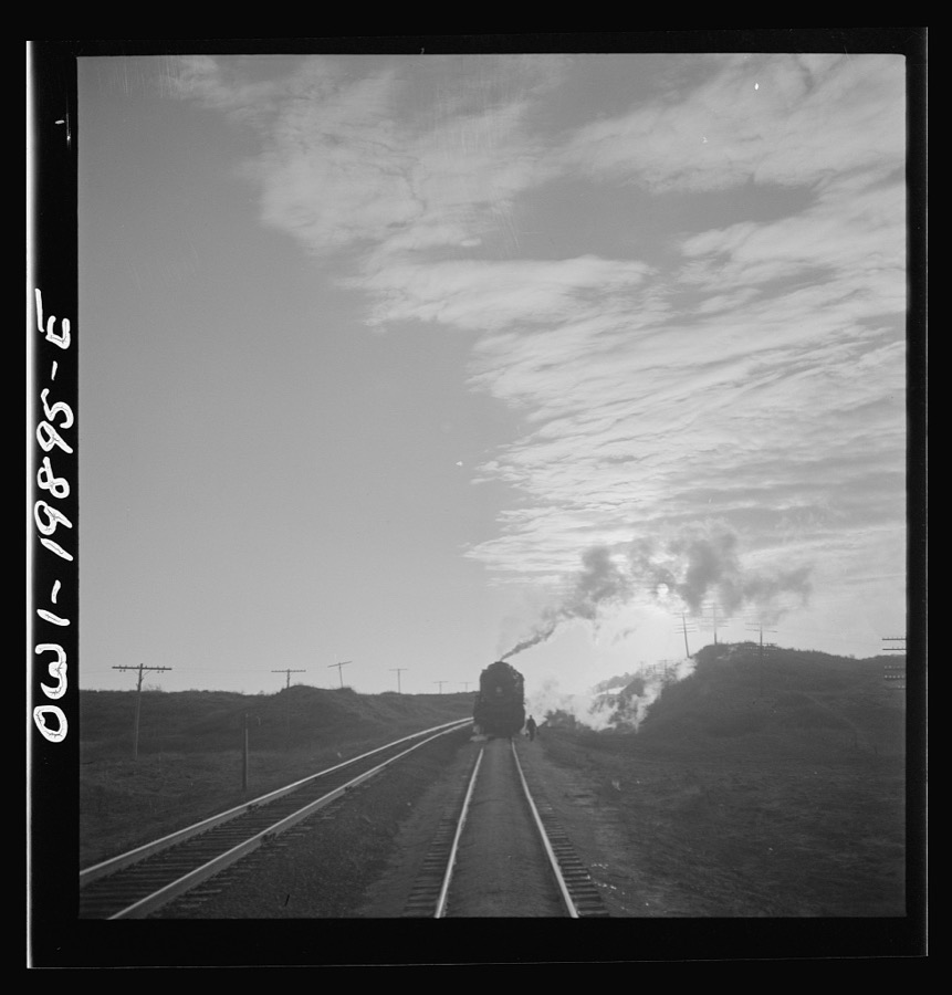
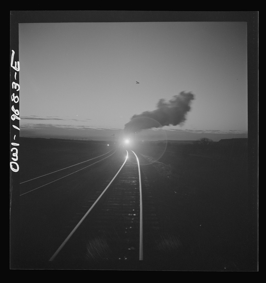
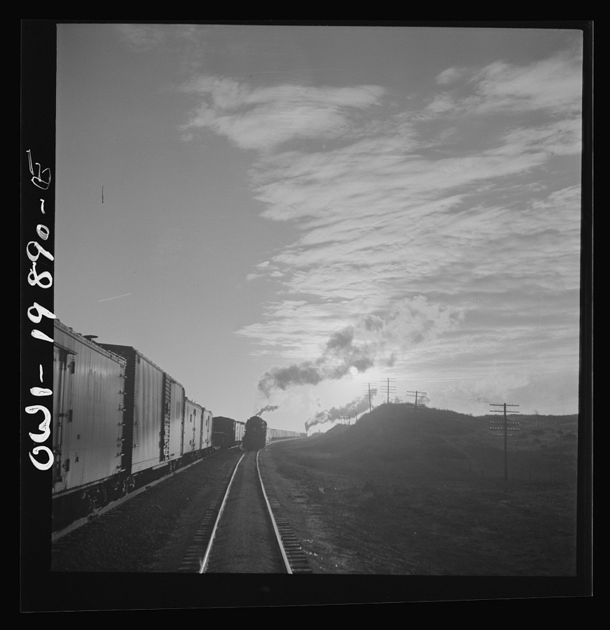
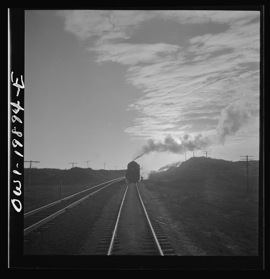

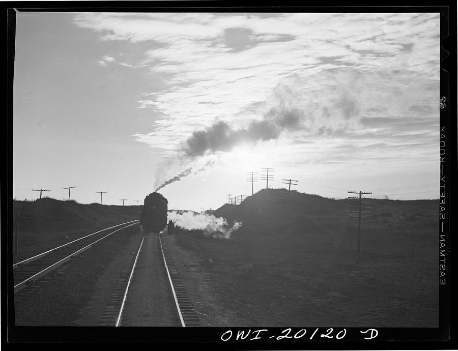
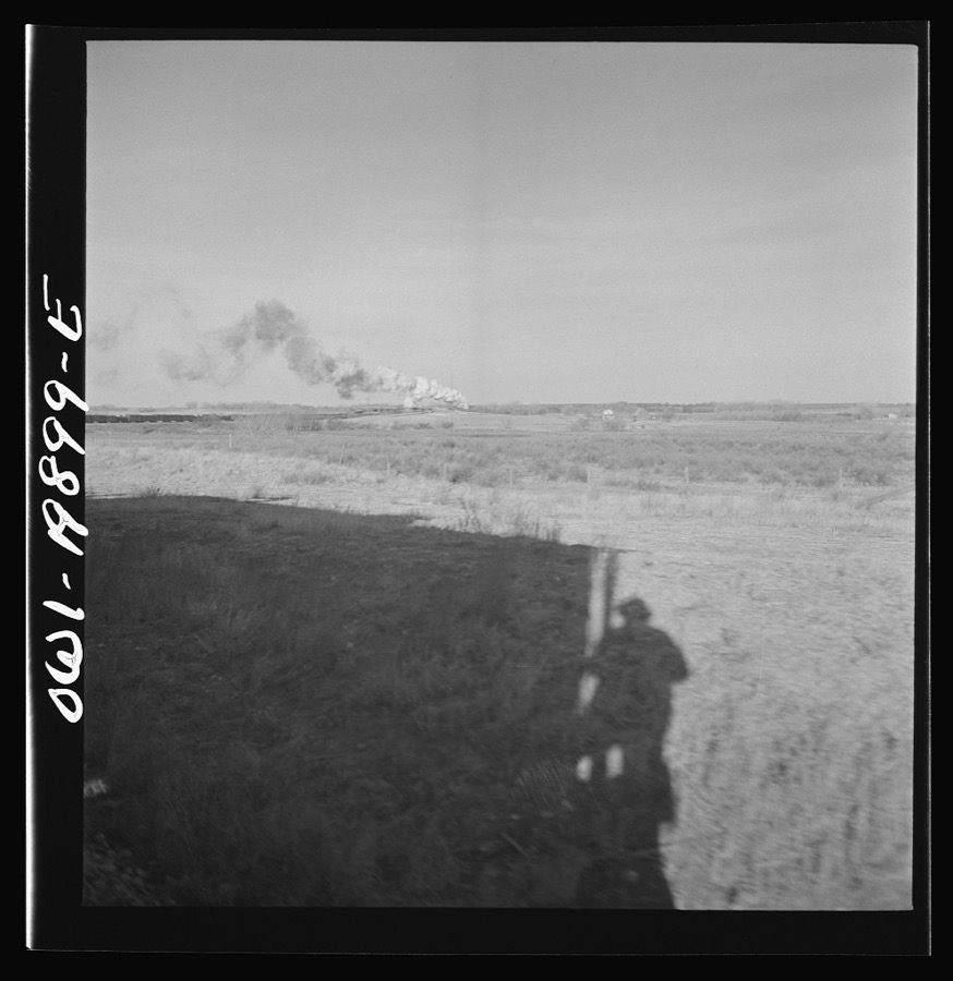
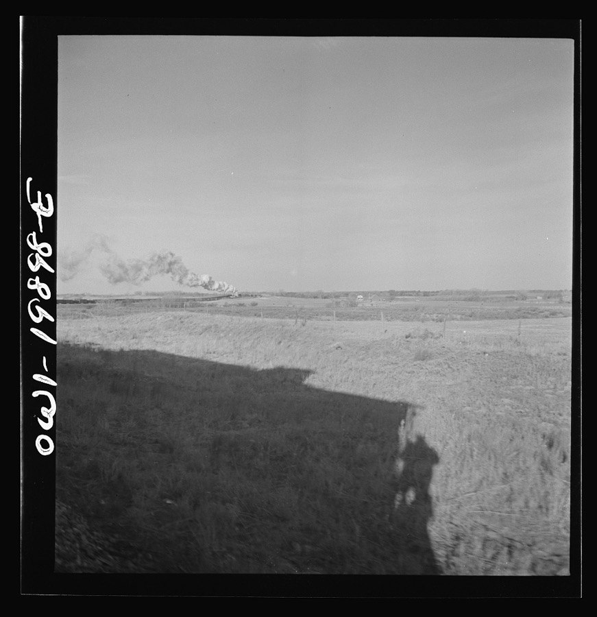
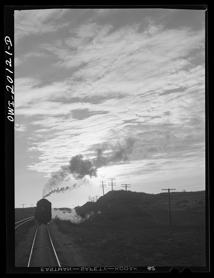

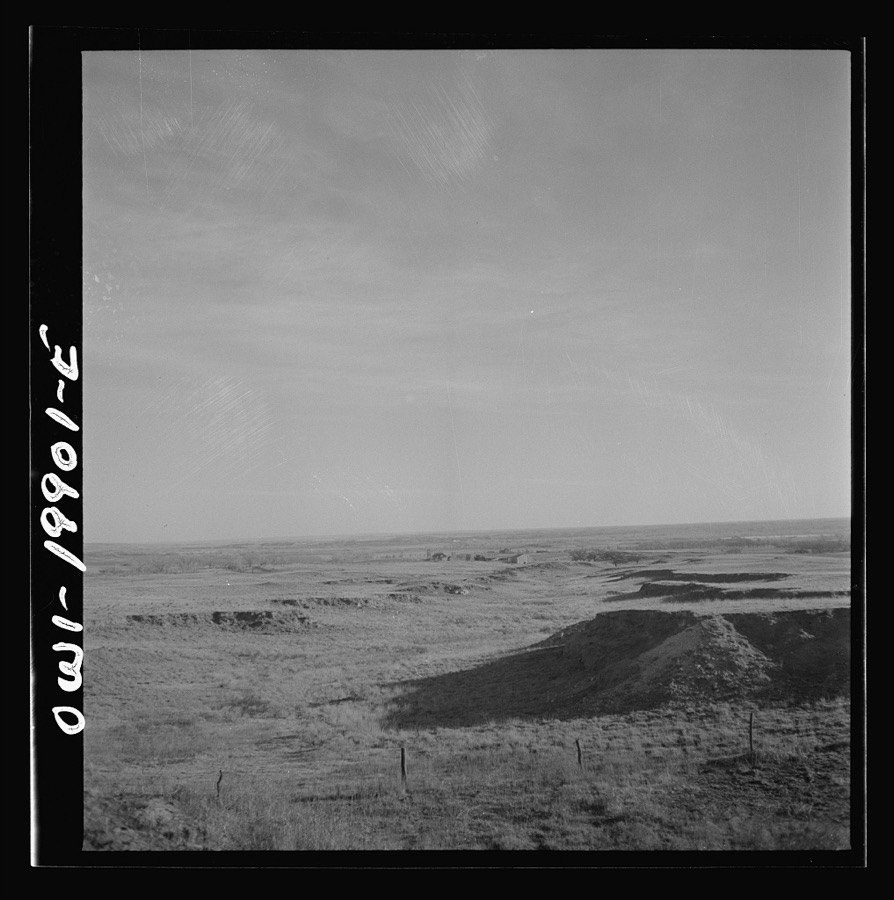

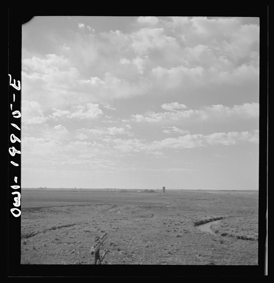
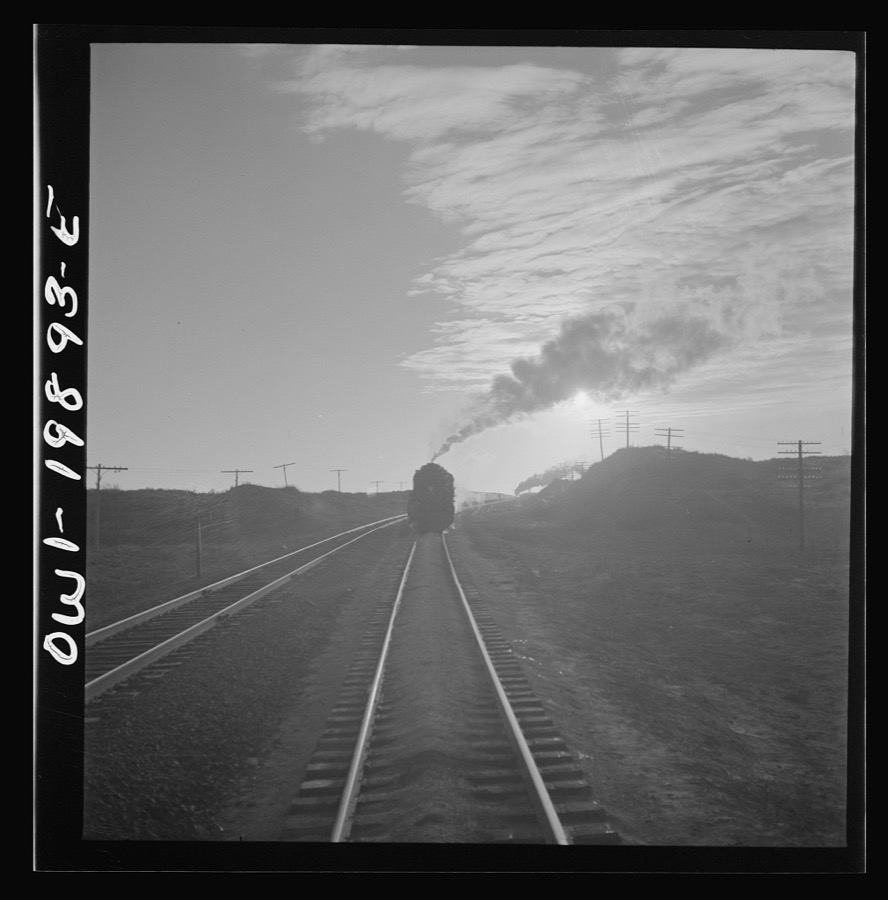
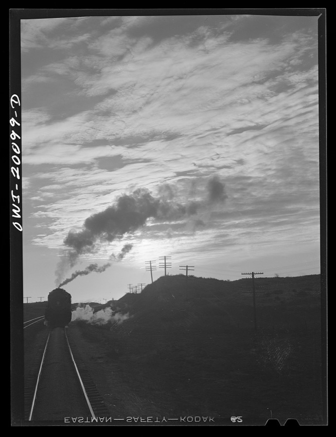

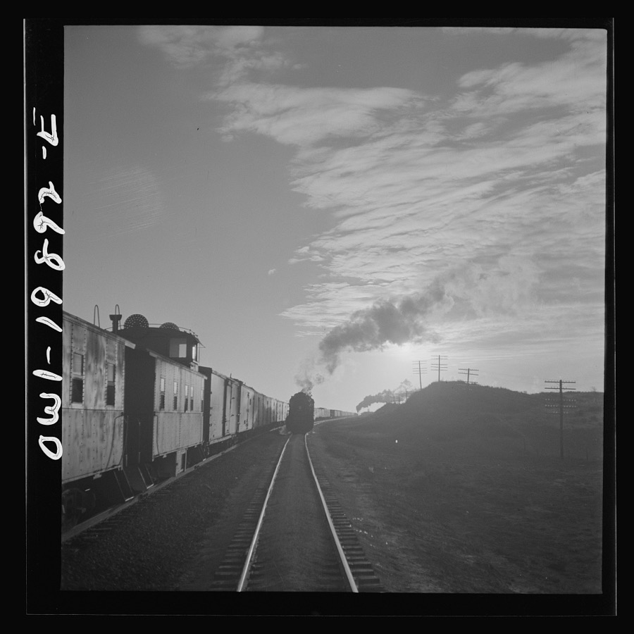
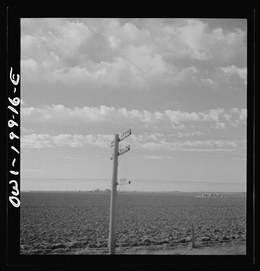
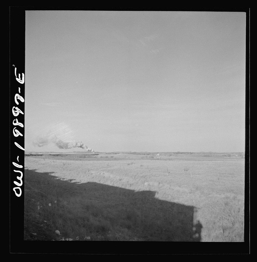
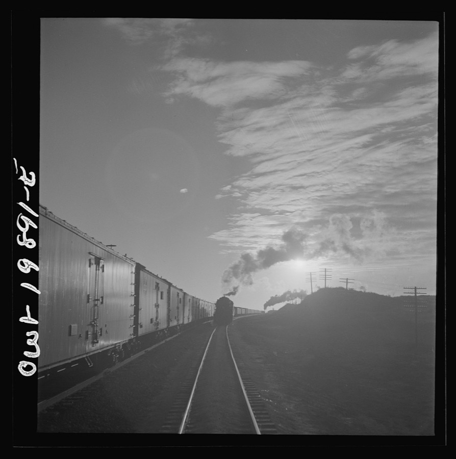
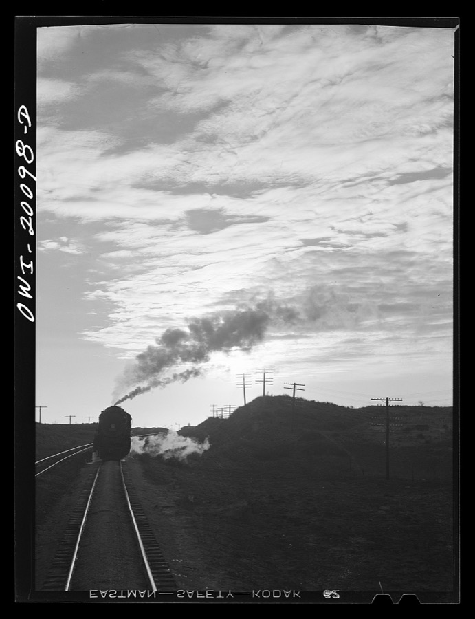
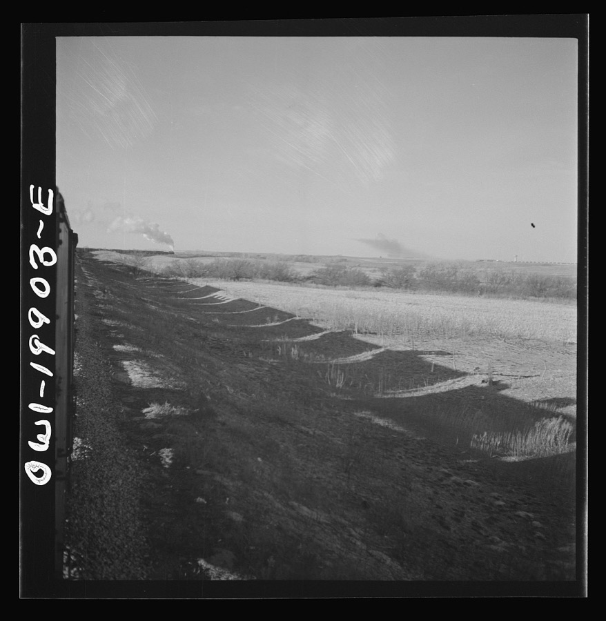
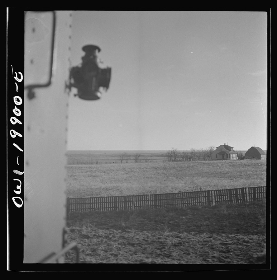
Every property in this county listed on the National Register of Historic Places, with the year it was listed and the federal nomination document.
| Photograph | Property | Type | Listed | Reference |
|---|---|---|---|---|
 | Fort Supply Historic District | district | 1971 | 71000675 |
 | L. L. Stein House | building | 1983 | 83004225 |
| Woodward Crystal Beach Park | district | 1988 | 88001359 | |
 | Woodward Federal Courthouse and Post Office | building | 2007 | 07000915 |
| Woodward Theater, The | building | 2008 | 08001153 |
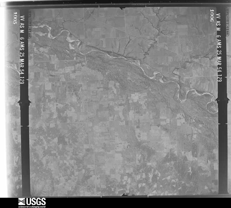
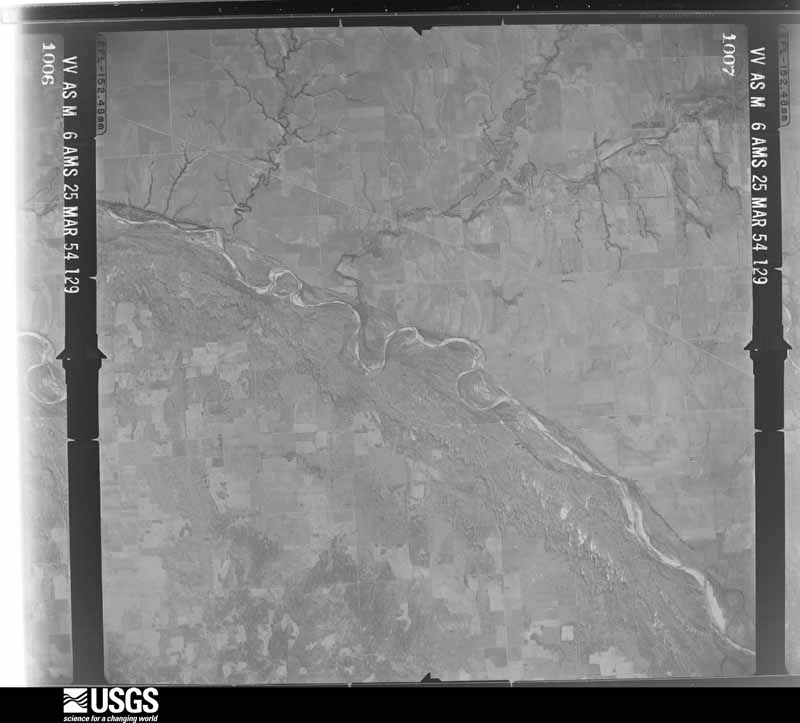
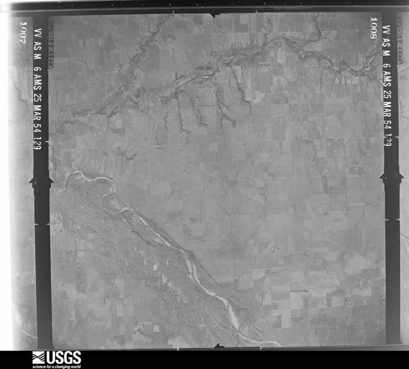
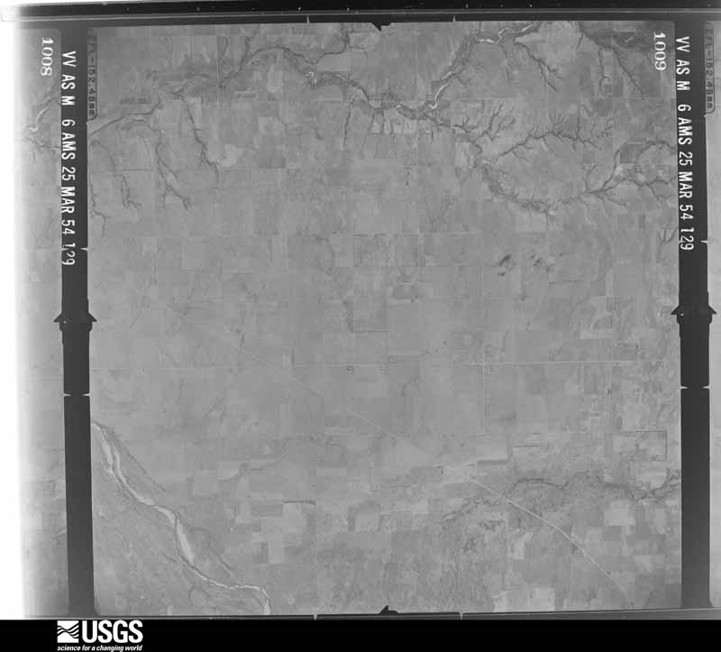
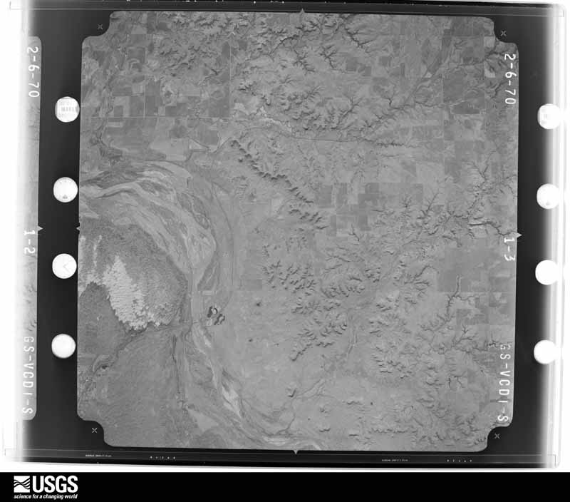
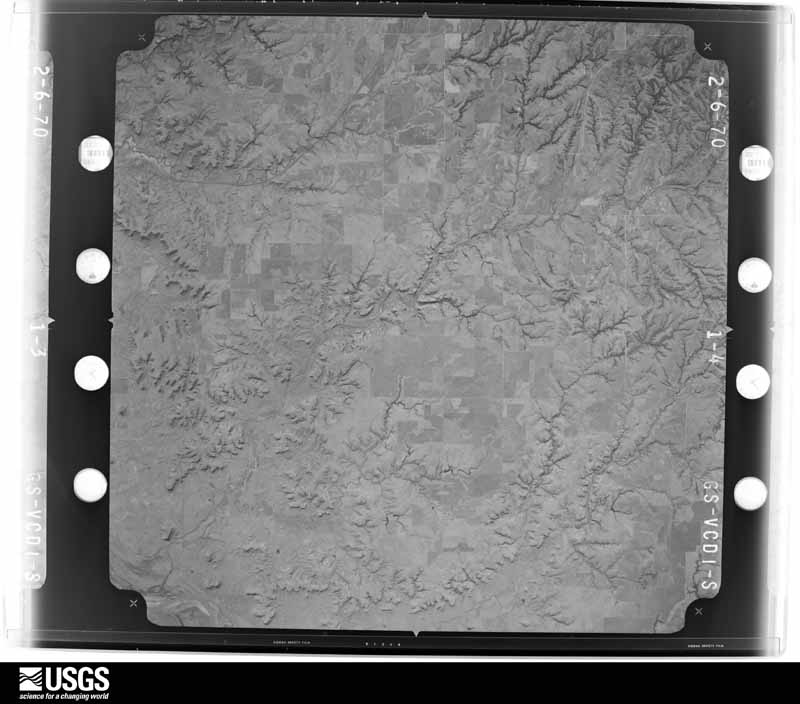
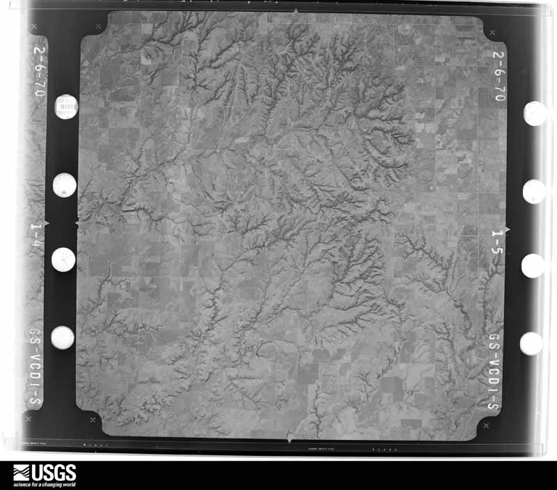
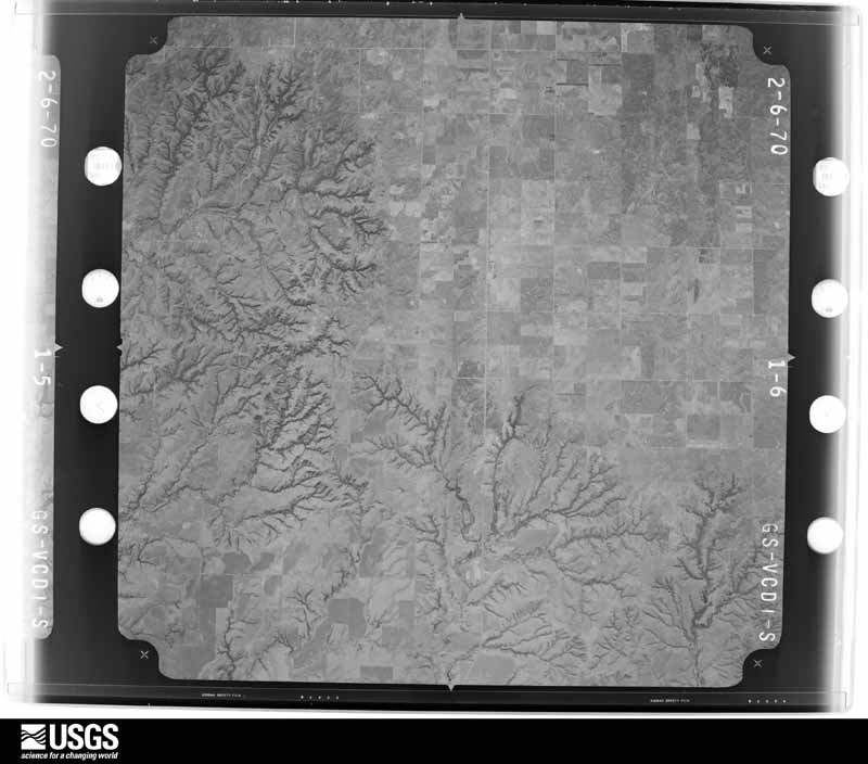
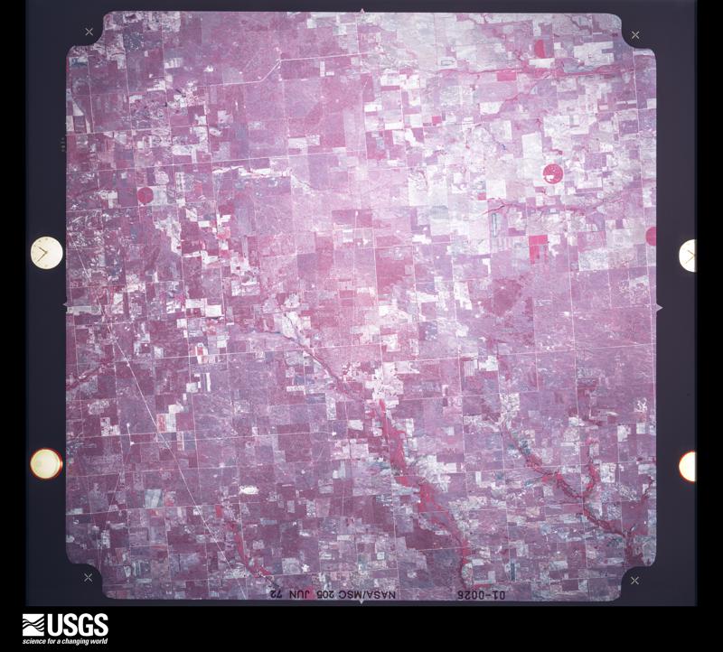
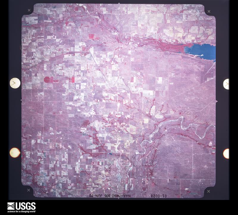
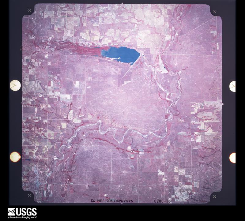
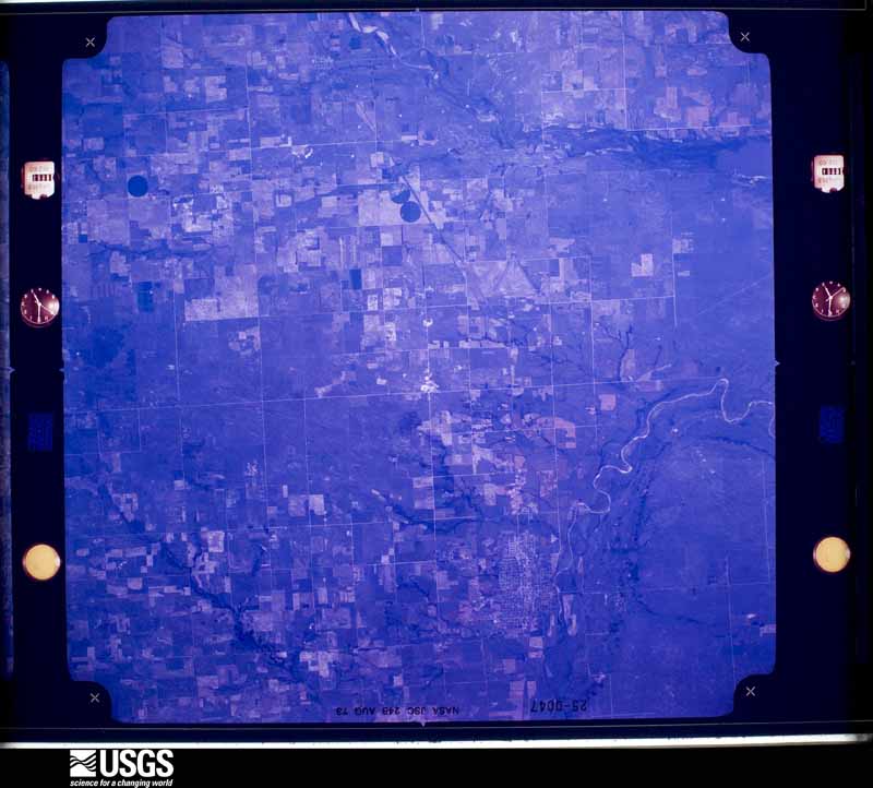
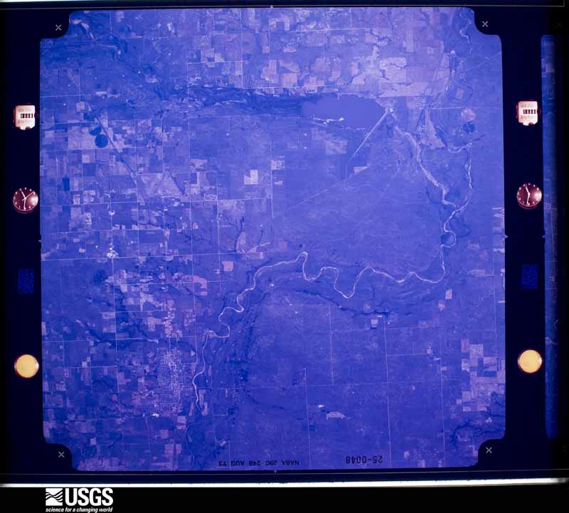
Flown by the U.S. Geological Survey between 1937 and 1989, the Aerial Photo Single Frames collection is the definitive mid-century view of the land: fields, roads and rivers as the camera saw them. The Survey holds 1,166 frames inside the rectangle that bounds this county; the 32 frames below were taken over the county itself, chosen across the decades of flights (at most four a year from that rectangle), so one flight cannot crowd out the rest. The full set is free to browse and download at EarthExplorer under the dataset Aerial Photo Single Frames.




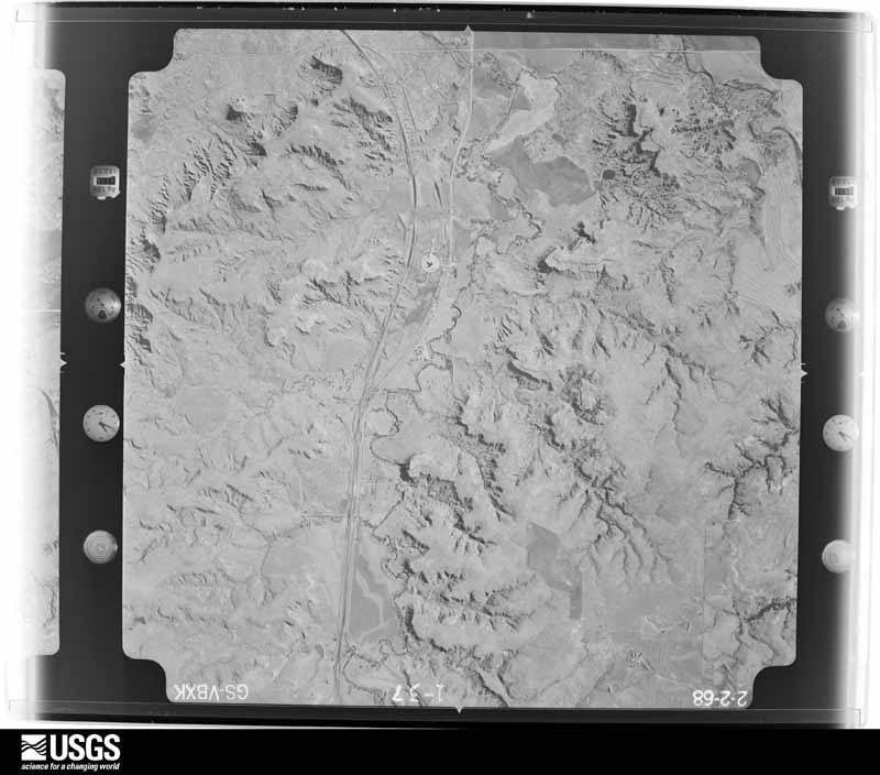
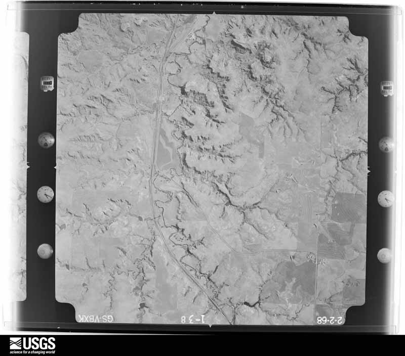
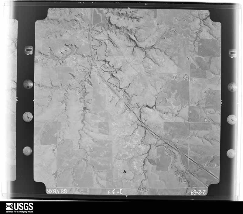
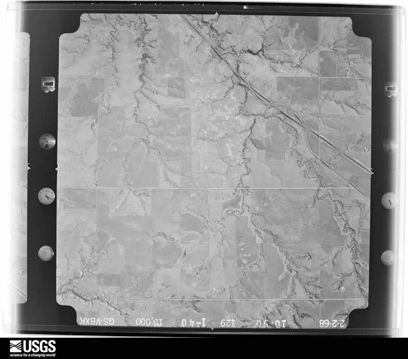
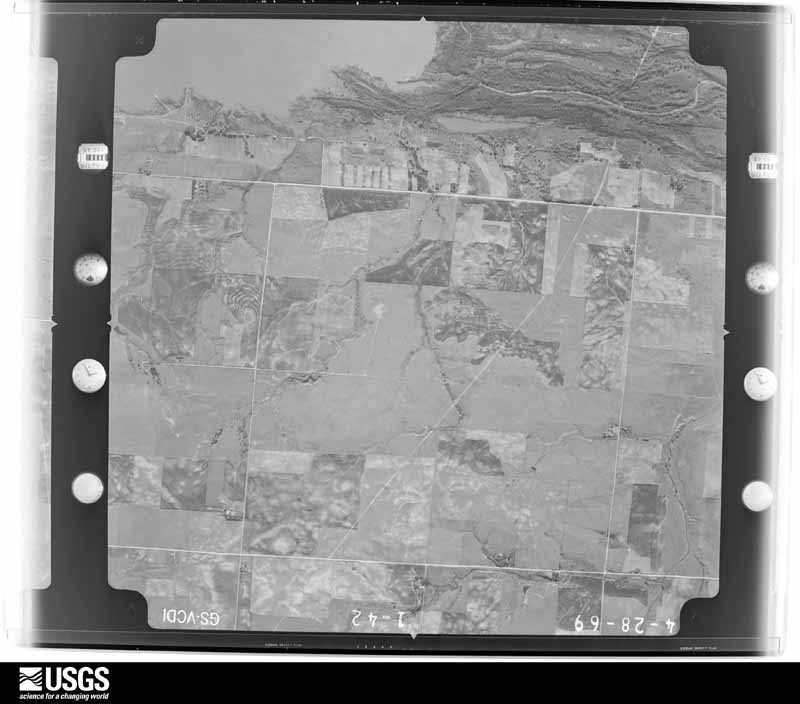
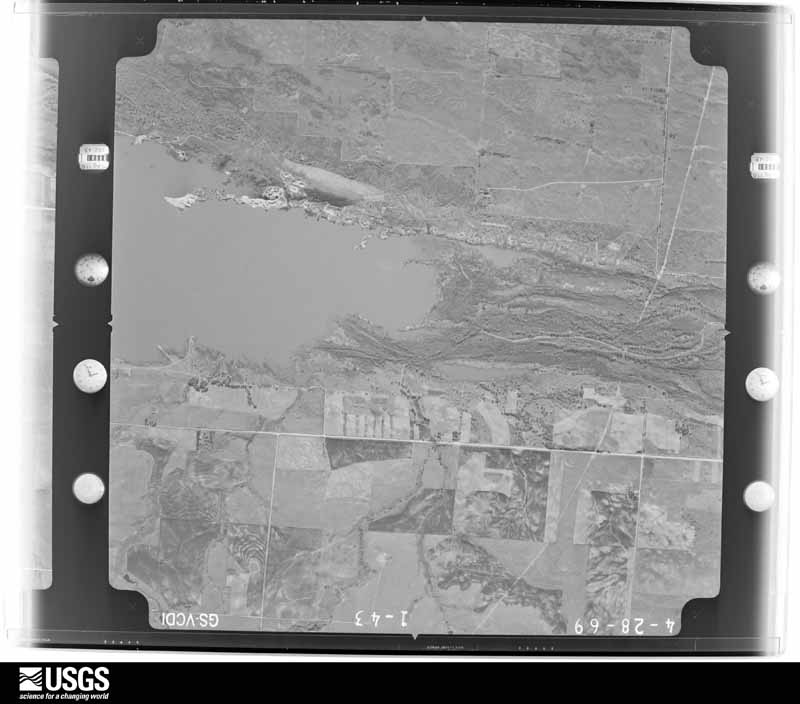
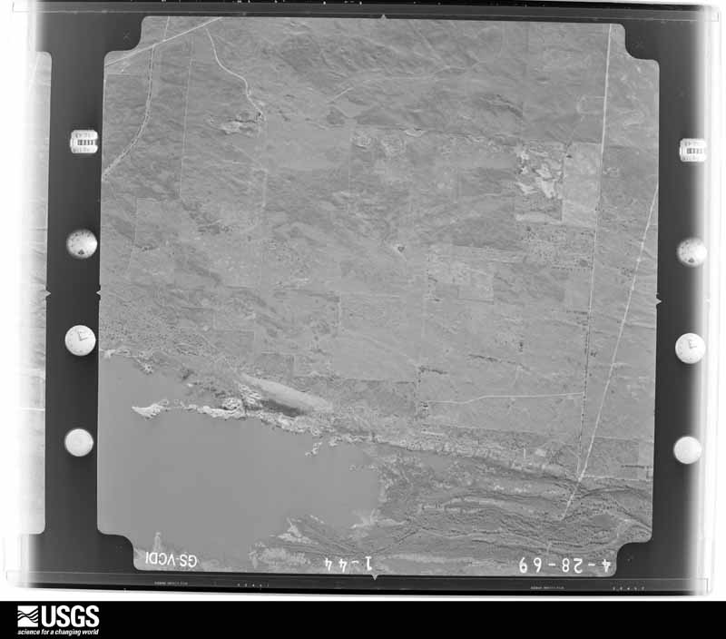
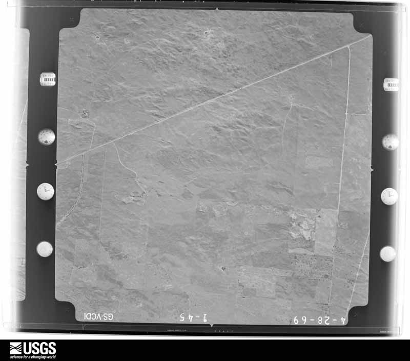
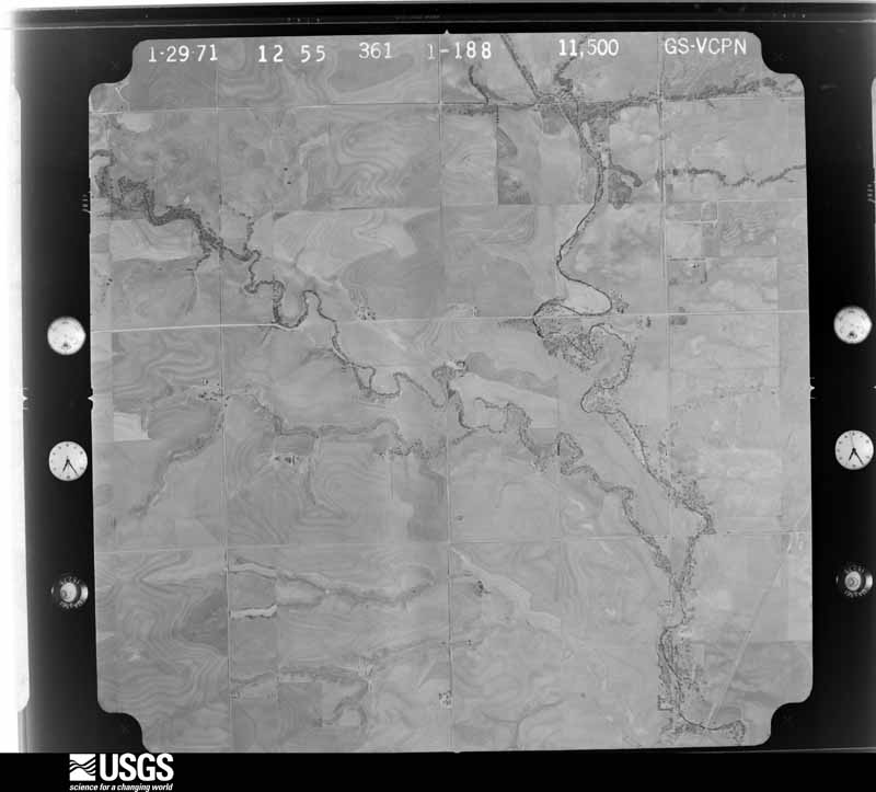
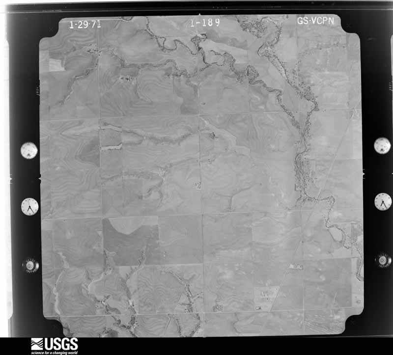
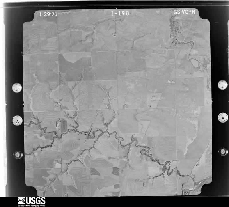
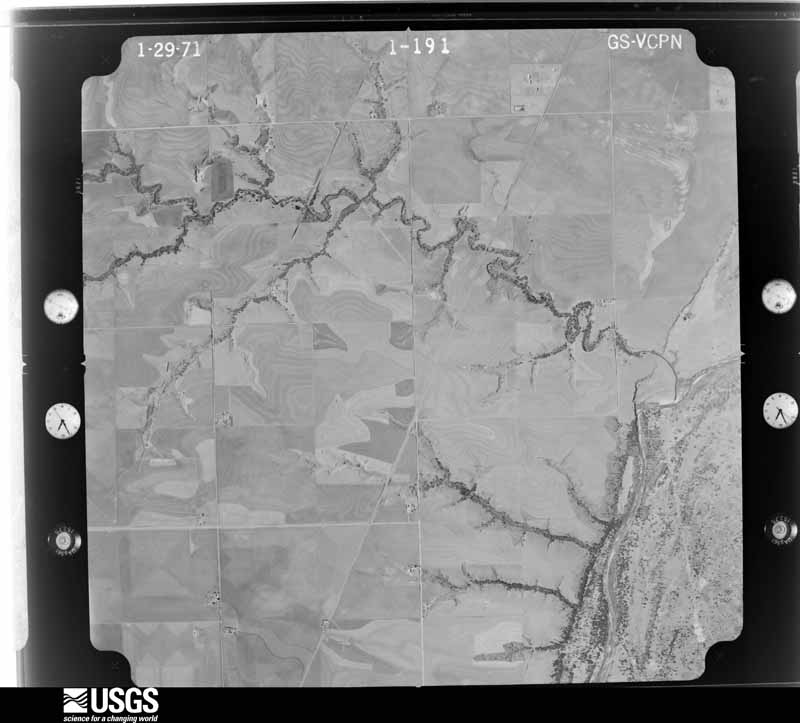



The thermometers that kept this county's weather, and the gages that measured the flow of its streams, as the federal records hold them. The extremes below are measured values from those records, not estimates.
Who lived here in 1950, one enumeration district at a time, as the Census Bureau described each district. Each row opens its official National Archives result, with Population Schedules and ED Maps available there.
Every wildfire the federal occurrence database records inside this county: 24 of them, burning about 181,201 acres. 4 started naturally and none was recorded as arson. Each settlement page carries the fires within five miles of it.
| Reported cause | Fires |
|---|---|
| Missing data/not specified/undetermined | 16 |
| Natural | 4 |
| Debris and open burning | 2 |
| Recreation and ceremony | 1 |
| Power generation/transmission/distribution | 1 |
The five largest, by the area the report gives. None of them was recorded as arson.
| Date | Cause | Size | Reported by | Name on the report |
|---|---|---|---|---|
| 12 April 2018 | Missing data/not specified/undetermined | 62,481 acres | Oklahoma Division of Forestry | 34 COMPLEX |
| 5 April 2016 | Missing data/not specified/undetermined | 57,167 acres | Oklahoma Division of Forestry | 350 COMPLEX |
| 16 March 2015 | Missing data/not specified/undetermined | 23,488 acres | Oklahoma Division of Forestry | BOILING SPRINGS FIRE |
| 4 May 2014 | Missing data/not specified/undetermined | 14,100 acres | Oklahoma Division of Forestry | QUINLAN |
| 6 May 2014 | Missing data/not specified/undetermined | 13,072 acres | Oklahoma Division of Forestry | WOODWARD |
| 9 April 2010 | Missing data/not specified/undetermined | 3,000 acres | Oklahoma Division of Forestry | NORTH WOODWARD |
| 20 March 2019 | Missing data/not specified/undetermined | 2,131 acres | Oklahoma Division of Forestry | CURTIS |
| 23 July 2012 | Missing data/not specified/undetermined | 1,900 acres | Oklahoma Division of Forestry | CEDARDALE |
Every settlement page carries the fires within five miles of it - see the settlement index below.
The NOAA Storm Events Database holds 1,004 reports for this county, causing 6 deaths, 37 injuries and about $3,223,440 in recorded property damage. Each settlement page carries the reports that name it.
| Kind of event | Reports |
|---|---|
| Hail | 514 |
| Thunderstorm Wind | 399 |
| Tornado | 65 |
| Flash Flood | 14 |
| Lightning | 4 |
| Flood | 4 |
| Heavy Rain | 4 |
The most serious of them, by death, then injury, then recorded damage. The accounts are quoted exactly as the forecast office filed them.
| When | Event | Place named | Harm | What the report says |
|---|---|---|---|---|
| April 2012 | Tornado (EF3) | Tangier | 6 killed, 29 hurt | The tornado developed approximately just south of Arnett (Ellis County) at 11:42 pm CDT on April 14, 2012 and moved northeast. Only minor damage, downed trees and power poles/lines, was seen as the tornado moved over mainly rural portions of Woodward County, southwest of the city of Woodward. At approximately 12:12 am CDT on April 15, 2012, the tornado struck two mobile homes 5 miles southwest of Woodward. The damage here was determined to be EF-2 in intensity, and also resulted in 3 fatalities. The heaviest damage, rated EF-3, was reported as the tornado entered the southwest sides of Woodward around 12:18 am CDT. Several homes and businesses were heavily damaged as the tornado continued northeast.|Several more mobile homes were destroyed by the tornado on the north side of Woodward, and resulted in 3 additional fatalities. The tornado finally exited the city of Woodward at approximately 12:23 am CDT, eventually dissipating approximately 4 miles north of Woodward at 12:27 am CDT. |
| April 2001 | Thunderstorm Wind | Ft Supply | 3 hurt, $75,000 | A truck and attached trailer were overturned with several people inside injured. Two other trailer homes were blown over. |
| May 1950 | Tornado (F2) | not stated | 2 hurt, $25,000 | no account filed |
| May 1979 | Tornado (F1) | not stated | 1 hurt, $25,000 | no account filed |
| June 2025 | Thunderstorm Wind | Fort Supply | 1 hurt | A tree was blown down onto a nearby tent, injuring one individual inside. The location is approximate, and the event time is estimated from radar observations. |
| April 2012 | Hail | Woodward | 1 hurt | The hail broke multiple windows and dented several cars. |
| June 2016 | Thunderstorm Wind | Mooreland Arpt | $361,000 | Roof sustained significant damage and the west wall was destroyed from the house. Damage is estimated (with contents) at $100,000. In addition, an 80x20 barn, located just north-east of the residence, was destroyed at a loss of $50,000. Inside this building were 2 combines that suffered minor damage (additional $10,000). Next to this barn on the west side was a 24' bumper pull camper that was destroyed, at a loss of $10,000. Also, a 60x60 barn was destroyed at a loss of $108,000. Inside this barn was a late-model RV, which suffered moderate damage at a loss of $25,000. Just north of this barn was a 30' bumper-pull camper which suffered minor damage ($5,000), and an 18' bumper pull camper which was flipped over and suffered $8,000 damage. Additionally, a 3-car garage sustained significant roof and frame damage. Damage is estimated to this building at $45,000. |
| May 2007 | Tornado (EF2) | Sharon | $300,000 | This tornado developed about 7.5 miles south of Sharon and moved northeast. Near the beginning of the tornado path, substantial damage was noted along EW 57 Road, about two miles north of the county line, and about one mile west of Highway 34. At this location, much of the roof of a single story home was removed, an old rail car being used to store dry cement bags and animal feed was thrown and/or rolled about 140 feet south of the residence, trees and large limbs were snapped, and a pickup truck was moved about 80 feet. ||Beyond this location, the tornado moved through very rural areas and damage was sparse through portion of the tornado's path. Damage to structures was again noted along a path beginning about 4 miles east of Sharon. In this area, a barn was destroyed and an outbuilding had its windows blown out. Further northeast along the path, more outbuildings were damaged, at least two barns were destroyed, a recreational vehicle was destroyed, and a semi trailer overturned. Several large trees were also downed as the tornado continued northeast before dissipating about 6 miles east northeast of Sharon, just south of Highway 183. In total, 56 utility poles were destroyed along the tornado's path. ||Monetary damages were estimated. |
| May 1991 | Tornado (F3) | not stated | $250,000 | no account filed |
| October 1984 | Tornado (F3) | not stated | $250,000 | no account filed |
| May 1950 | Tornado (F2) | not stated | $250,000 | no account filed |
| September 1999 | Thunderstorm Wind | Mooreland | $200,000 | no account filed |
| July 2000 | Thunderstorm Wind | Mooreland | $100,000 | Two cooling towers were heavily damaged at Western Farmers Cooperative Electric. |
| June 2005 | Thunderstorm Wind | Woodward | $80,000 | A barn was damaged. |
| September 2008 | Flood | Mutual | $75,000 | Most roadways going in and out of Mutual were inaccessible. At least one residence had been flooded two miles west of town. Monetary damages were estimated. |
| August 1997 | Thunderstorm Wind | Woodward | $75,000 | A roof was blown off of an apartment building. |
| April 2016 | Thunderstorm Wind | Sharon | $60,000 | Sixty powerpoles downed by winds. |
| June 2007 | Thunderstorm Wind | Woodward | $60,000 | Several power lines were downed on the north side of town. The wind and half dollar size hail also combined for several windows to be broken in town. Several limbs were blown onto parked automobiles. Several trees sustained damage around Woodward. |
| August 2024 | Thunderstorm Wind | Woodward | $50,000 | Relayed images showing roof damage to a house and metal machine shed. A camper trailer was also blown over. Report relayed through broadcast media. Location is approximate and time is radar estimated. |
| June 1995 | Tornado (F1) | to 3 NE Mooreland | $50,000 | no account filed |
| July 1995 | Thunderstorm Wind | Mooreland | $50,000 | no account filed |
| April 2001 | Thunderstorm Wind | Ft Supply | $45,000 | Three mobile homes were destroyed. |
| May 2024 | Tornado (EF1) | Mutual | $40,000 | Storm spotters and chasers observed this tornado developing near Mutual and moving northeast. Emergency management reported that at least two barns were destroyed, a trailer and farm equipment were overturned, a home received minor damage, and a mobile home received roof damage. Power poles were also damaged along the path. |
| August 2000 | Thunderstorm Wind | Woodward | $33,000 | Six power poles were downed near 48th Street. A portion of the roof was blown off at Woodward Elks Lodge. A 50-foot section of an aluminum roof was also blown off at Diamond Services Company on Oklahoma Avenue. |
| June 2004 | Thunderstorm Wind | Curtis | $30,000 | Fifty power poles were downed. |
| April 2016 | Hail | Sharon | $28,600 | Several homes were damaged by wind driven hail, including windows blown out, siding removed, and a ac unit destroyed. |
| May 2001 | Thunderstorm Wind | Woodward | $25,500 | A tractor-trailer was blown over, and power lines were downed. |
| August 2025 | Thunderstorm Wind | Sharon | $25,000 | Relayed images courtesy of the Oklahoma Department of Emergency Management show metal roof decking blown off of a mobile home. The event time is estimated from radar observations. |
| May 2012 | Thunderstorm Wind | Woodward | $25,000 | The Mesonet site 2 miles southwest of Woodward measured a 75 mph wind gust. Law enforcement in Woodward reported roof damage to the local Dairy Queen as well as toppled power poles. This wind was generated by a heat burst away from the parent thunderstorm. Monetary damages were estimated. |
| October 2005 | Tornado (F1) | Mooreland | $25,000 | The large multi-vortex tornado that initially developed from a supercell in Harper county 10 miles south-southeast of Selman, moved east-northeast into Woodward county crossing the county line 18.5 miles north-northwest of Mooreland. The tornado moved four miles into the county before lifting 20 miles north of Mooreland or 5 miles west-northwest of Alabaster Caverns State Park. The tornado downed approximately a 3 mile area of power poles and lines along with trees shortly after crossing the county line. A three foot diameter tree was knocked over in this area. Several one to two foot diameter trees were also snapped. The tornado moved a couple miles east of the county line causing F1 damage at the Selman Living Laboratory Observatory 6 miles west of Alabaster Caverns. An outbuilding that was used for storage of scientific equipment and was secured on a block foundation with steel-strap anchors approximately four feet deep in hard earth, was moved off of its foundation. The outbuilding moved approximately 20 feet and pushed 6 feet into an adjacent outbuilding. A double-wide manufactured home located about 300 feet southeast of the outbuildings also sustained minor roof damage. |
| April 1992 | Tornado (F1) | not stated | $25,000 | no account filed |
| May 1991 | Tornado (F1) | not stated | $25,000 | no account filed |
| May 1985 | Tornado (F0) | not stated | $25,000 | no account filed |
| April 1985 | Tornado (F1) | not stated | $25,000 | no account filed |
| April 1985 | Tornado (F0) | not stated | $25,000 | no account filed |
| May 2001 | Thunderstorm Wind | Woodward | $21,000 | A tractor-trailer was blown over, and power lines were downed. |
| May 2017 | Thunderstorm Wind | Woodward | $20,000 | Also EM reported numerous power lines, utility poles, and trees down as well as awnings and outbuildings damaged. |
| May 2017 | Thunderstorm Wind | Woodward | $20,000 | Mobile home flipped over by winds. |
| June 2016 | Thunderstorm Wind | Mooreland Arpt | $20,000 | Winds destroyed a 30' bumper-pull camper. The trailer was rolled approximately 120 feet to the south. |
| October 2002 | Flash Flood | Mutual | $20,000 | A paved road was washed away. |
| October 2000 | Flash Flood | Mooreland | $20,000 | Numerous streets were covered with water, and at least one home flooded. |
| July 2000 | Thunderstorm Wind | Mooreland | $20,000 | Numerous trees and power poles were downed, and damage was sustained to the brick corner of Mooreland High School. |
| August 2024 | Thunderstorm Wind | Woodward | $15,000 | Multiple power poles snapped along Oklahoma Highway 34 north of the community of Woodward. Report relayed through broadcast media. Location is approximate and time is radar estimated. |
| May 2017 | Thunderstorm Wind | Sharon | $15,000 | Dozens of power poles downed along highway 34 from 4 miles south of Woodward south to Sharon. |
| March 2004 | Tornado (F1) | Sharon | $15,000 | A tornado touched down four miles south of Sharon and moved to the east-northeast. A car was blown off state highway 34, 3.8 miles south of Sharon, and a cow was killed by the tornado nearby. Otherwise no other damage is known to indicate the tornado's intensity. At times this tornado was multiple vortex. |
| June 2004 | Hail | Mooreland | $15,000 | Hail caused heavy damage to the shingled roof of a home. |
| September 1999 | Thunderstorm Wind | Woodward | $15,000 | no account filed |
| July 2023 | Thunderstorm Wind | Woodward | $10,000 | Numerous power poles and lines blown down in the vicinity. Time is radar estimated. |
| July 2023 | Thunderstorm Wind | Mutual | $10,000 | Metal roof blown off of the Mutual Fire Department building. Time is radar estimated. |
| July 2023 | Thunderstorm Wind | Tangier | $10,000 | Multiple power poles snapped in the vicinity. Time is radar estimated. |
| May 2018 | Thunderstorm Wind | Mooreland | $10,000 | Some damage to buildings in Mooreland, including roof damage to Mooreland elementary school. Time estimated by radar. |
| May 2018 | Thunderstorm Wind | Fort Supply | $10,000 | Carport and two sheds destroyed. Roof blown off mobile home on the west side of town. Timed based on radar. |
| May 2017 | Tornado (EF0) | Mutual | $10,000 | A highly-visible multiple vortex tornado began in Woodward County and moved north-northeast. Two homes received roof and siding damage near county road NS227 and tree damage was observed a few locations along the path. The tornado moved into Woodward County south of county road EW048. |
| May 2016 | Tornado (EF0) | Woodward | $10,000 | A tornado was observed north-northwest of Woodward by multiple spotters and storm chasers. Two outbuildings were damaged, but otherwise meandered over open ranchland. Although the tornado was observed to have become rather wide, both the damage produced and preliminary data from the University of Massachusetts X-Pol mobile Doppler radar operated by Purdue University researchers indicate that the tornado likely only produced EF0 wind speeds. Based on the circulation track derived from the UMass X-Pol radar, the total path length was approximately 2.7 miles along a meandering path. |
| March 2012 | Lightning | Woodward | $10,000 | A home near Boiling Springs State Park was struck by lightning. A significant portion of its roof was lost due to fire. |
| June 2007 | Thunderstorm Wind | Woodward | $10,000 | Several power lines were downed on the north side of town. Monetary damages were estimated. |
| May 2007 | Thunderstorm Wind | Fort Supply | $10,000 | Power lines were downed on the west side of town. Monetary damages were estimated. |
| April 2002 | Tornado (F1) | Mutual | $10,000 | This is a continuation of the tornado that exited Dewey County at 2241 CST. In Woodward County, a well constructed metal barn, 40 x 60 ft, cemented to the ground, was picked up and moved about 3.5 ft. Also, hay bales were blown around, and trees were damaged. |
| August 2002 | Thunderstorm Wind | Woodward | $10,000 | Damage was sustained to two roofs. |
| August 2002 | Thunderstorm Wind | Woodward | $10,000 | Two trees were blown onto a house. |
The Survey's mineral resources record lists 39 workings inside this county. 13 still produce and 26 are closed or unrecorded. Each settlement page carries the workings within five miles of it.
| Commodity | Workings |
|---|---|
| Sand and Gravel, Construction | 13 |
| Iodine | 10 |
| Limestone, General | 9 |
| Bentonite | 4 |
| Limestone, General, Sand and Gravel, Construction | 1 |
| Dolomite | 1 |
| Pumice, Bentonite | 1 |
The least common of them first, because a county's hundredth gravel pit says nothing its first ten did not.
| Where | Site | Commodity | Status | Recorded |
|---|---|---|---|---|
| Bentonite Prospect | Pumice, Bentonite | Prospect | ||
| Unknown | Limestone, General, Sand and Gravel, Construction | Past Producer | ||
| Unknown | Dolomite | Prospect | ||
| Unknown | Bentonite | Past Producer | ||
| Unknown | Bentonite | Past Producer | ||
| Unknown | Bentonite | Past Producer | ||
| Unknown | Bentonite | Past Producer | ||
| Unknown | Limestone, General | Producer | ||
| Unknown | Limestone, General | Unknown | ||
| Unknown | Limestone, General | Unknown | ||
| Unknown | Limestone, General | Past Producer | ||
| Unknown | Limestone, General | Past Producer | ||
| Unknown | Limestone, General | Past Producer | ||
| Unknown Caliche Pit | Limestone, General | Past Producer | ||
| Unknown Caliche Pit | Limestone, General | Past Producer | ||
| Unknown Caliche Pit | Limestone, General | Past Producer | ||
| Amoco Brine Well No. 11 | Iodine | Producer | ||
| Amoco Brine Well No. 12 | Iodine | Producer | ||
| Amoco Brine Well No. 13 | Iodine | Producer | ||
| Amoco Brine Well No. 14 | Iodine | Producer | ||
| Amoco Brine Well No. 15 | Iodine | Producer | ||
| Amoco Brine Well No. 4 | Iodine | Producer | ||
| Amoco Brine Well No. 5 | Iodine | Producer | ||
| Amoco Brine Well No. 8 | Iodine | Producer | ||
| Amoco Brine Well No. 9 | Iodine | Producer | ||
| Amoco Production Co Iodine Plant | Iodine | Producer | ||
| Kline Dredge and Plant | Sand and Gravel, Construction | Producer | ||
| Unknown | Sand and Gravel, Construction | Past Producer | ||
| Unknown | Sand and Gravel, Construction | Past Producer | ||
| Unknown | Sand and Gravel, Construction | Past Producer | ||
| Unknown | Sand and Gravel, Construction | Past Producer | ||
| Unknown | Sand and Gravel, Construction | Past Producer | ||
| Unknown | Sand and Gravel, Construction | Past Producer | ||
| Unknown | Sand and Gravel, Construction | Past Producer | ||
| Unknown | Sand and Gravel, Construction | Past Producer | ||
| Unknown | Sand and Gravel, Construction | Past Producer | ||
| Unknown | Sand and Gravel, Construction | Past Producer | ||
| Unknown | Sand and Gravel, Construction | Past Producer | ||
| Unknown | Sand and Gravel, Construction | Producer |
Named settlements recorded in the Geographic Names Information System, each with the topographic sheets covering it. Villages, hamlets and abandoned places alike. Each is shown with the nearest named watercourse or landform and the survey quadrangle it falls on. The 1 place that was also surveyed for fire insurance comes first, with the number of atlases and photographs held for them.
9 topographic sheets and 11 fire insurance atlases, 1894 to 1947
The complete index, with nothing left out. Each of these is a separate record with its own page: a federal survey report, or the case file that argued a property on to the National Register. Both are public domain and reproduced word for word.