 Block
Woodward, Oklahoma
9 topographic sheets cover this place, the earliest surveyed in 1955 and the latest in 1985. It stands in the Woodward census division. It lies in ZIP code area 73801. It stands on Woodward Creek. The Survey maps it on the Woodward quadrangle. 12,133 people lived here at the 2020 count. It stands 1,909 feet above sea level.
Research this city
On record in Woodward
Buildings and businesses the archive holds for this place. Each opens its own page, with the source record it came from.
On the National Register 4 records
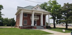 L. L. Stein Houselisted 1983
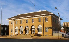 Woodward Federal Courthouse and Post Officelisted 2007
- Woodward Crystal Beach Parklisted 1988
- Woodward Theater, Thelisted 2008
Surveyed buildings and structures 1 record
- Field Station Lake Dam and Spillway, East side of 34th Street, east of intersection with Quail Drive, Woodwardfederal building survey, 1 photograph
Population over time
2 figuresWoodward grew from 12,051 to 12,133 between 2010 and 2020. These are the recorded population figures Wikidata holds for this place, reached through the Geographic Names Information System number this page is keyed on rather than by name, so they belong to this place and not to another of the same name. Most are census counts, but not all are: an early figure may be a founding or settlement estimate, and an estimate published within five years of a census is left out. The change column is computed, and is left blank where more than 20 years separate a figure from the one before it, because a gap that long is not a change between two counts.
| Year | People | Change |
|---|---|---|
| 2010 | 12,051 | |
| 2020 | 12,133 | +82 (+1%) |
Topographic sheets covering this place
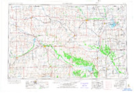
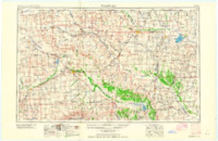
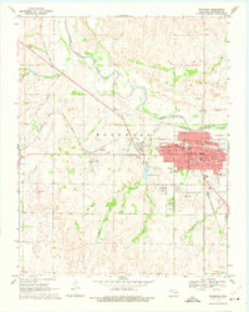
4 surveys from 9 printed sheetsMatched by testing this settlement's coordinate against the published boundary of every sheet in the United States Geological Survey's historical collection. Each opens the scanned sheet at the Survey.
- 1955 USGS Woodward quadrangle1:250000, 3 printings
- 1958 USGS Woodward quadrangle1:250000, 2 printings
- 1969 USGS Woodward quadrangle1:24000, 2 printings
- 1985 USGS Woodward quadrangle1:100000, 2 printings
Photographs
7 photographs, 1943Taken for the Office of War Information and the Farm Security Administration, who photographed the country between 1935 and 1944. Works of United States government photographers, with no known restriction on use. Each opens its catalogue record.
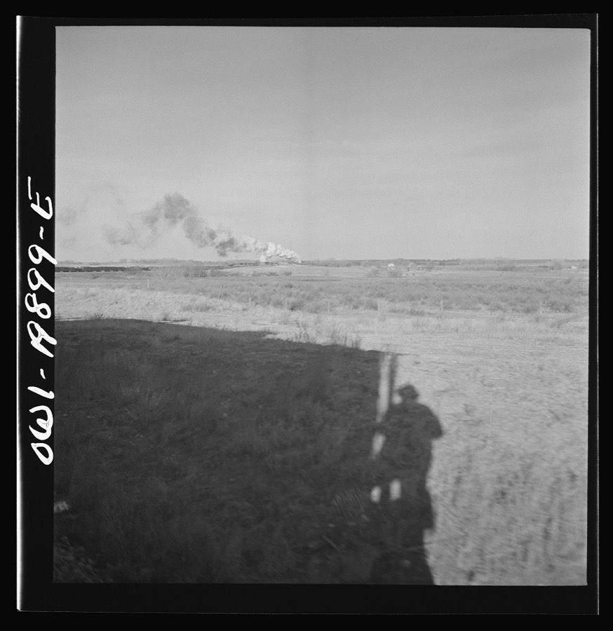
Delano, Jack, 1943. Library of Congress
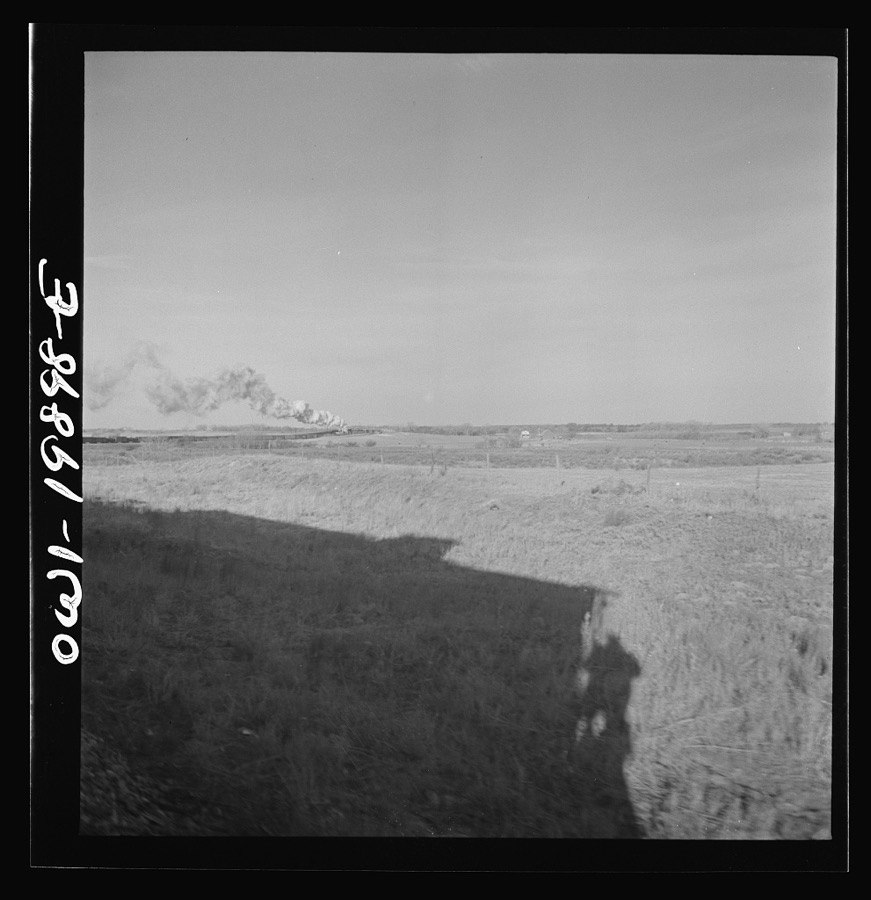
Delano, Jack, 1943. Library of Congress
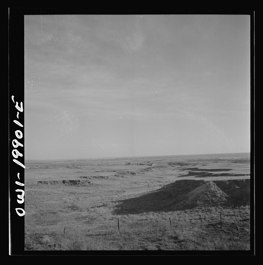
Delano, Jack, 1943. Library of Congress
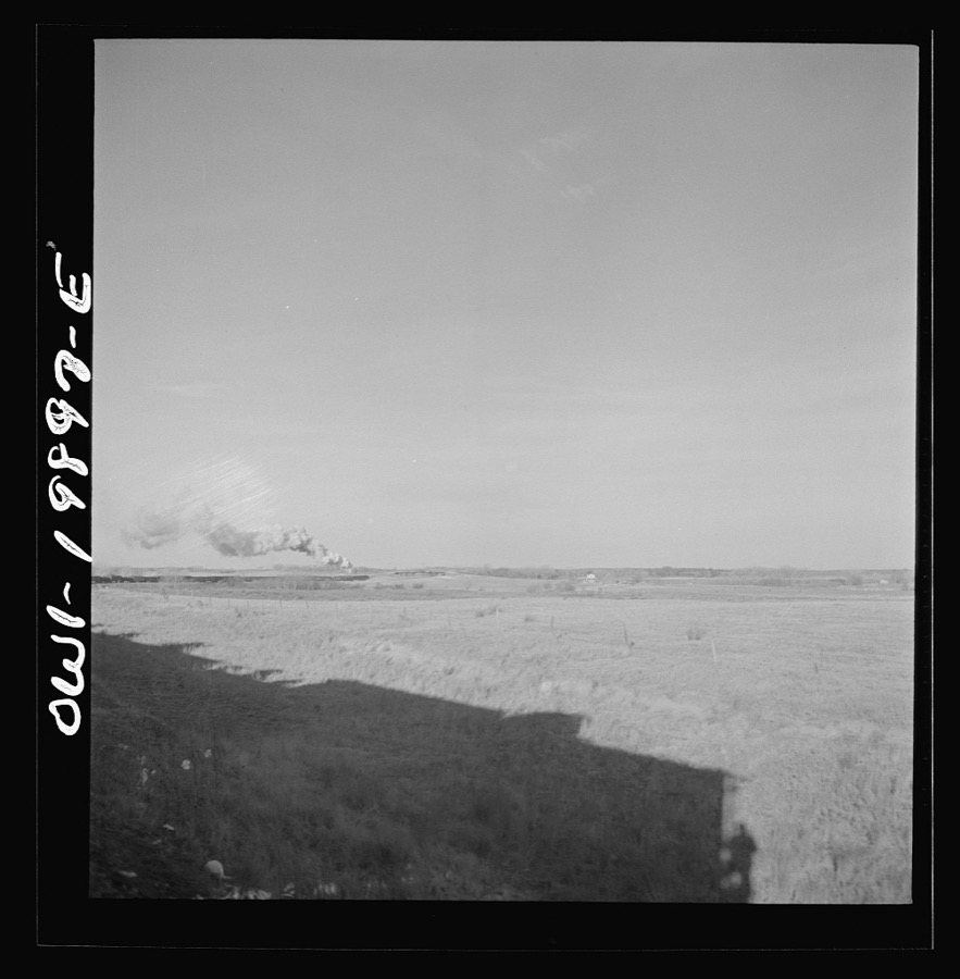
Delano, Jack, 1943. Library of Congress
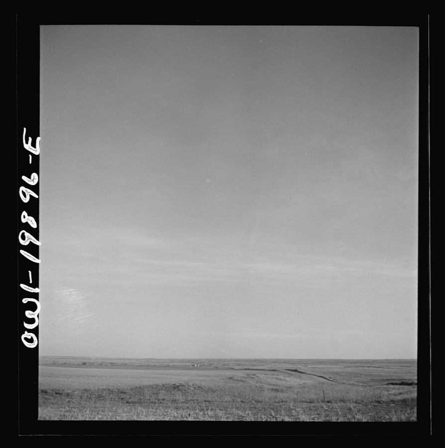
Delano, Jack, 1943. Library of Congress
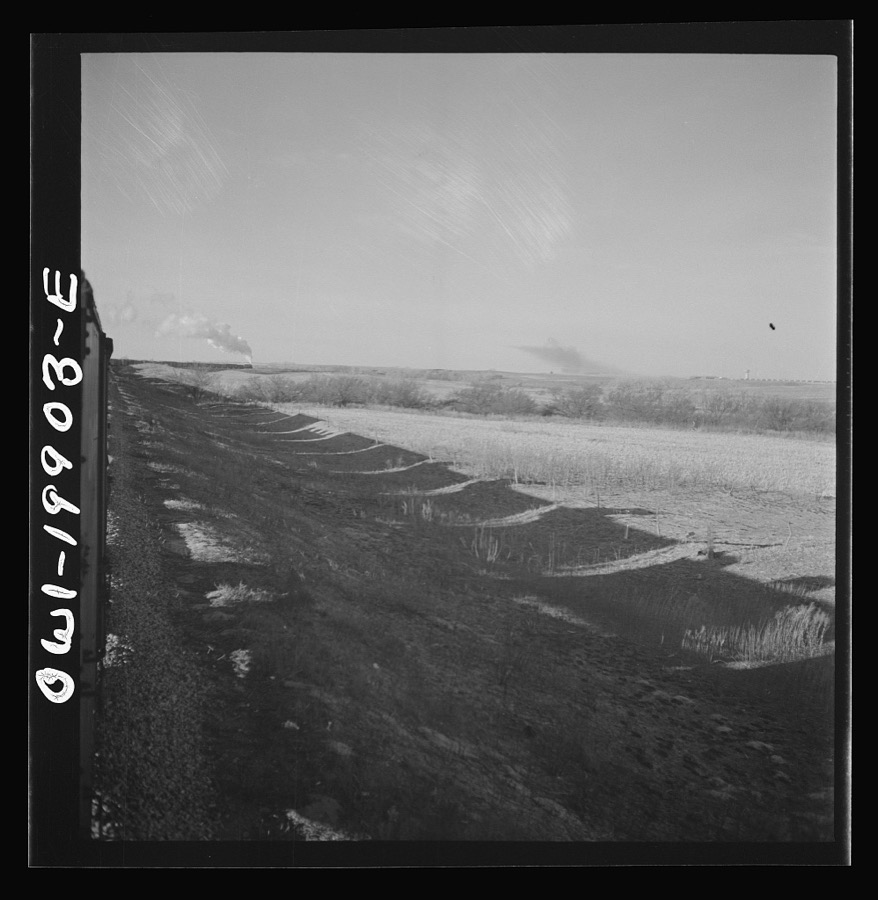
Delano, Jack, 1943. Library of Congress
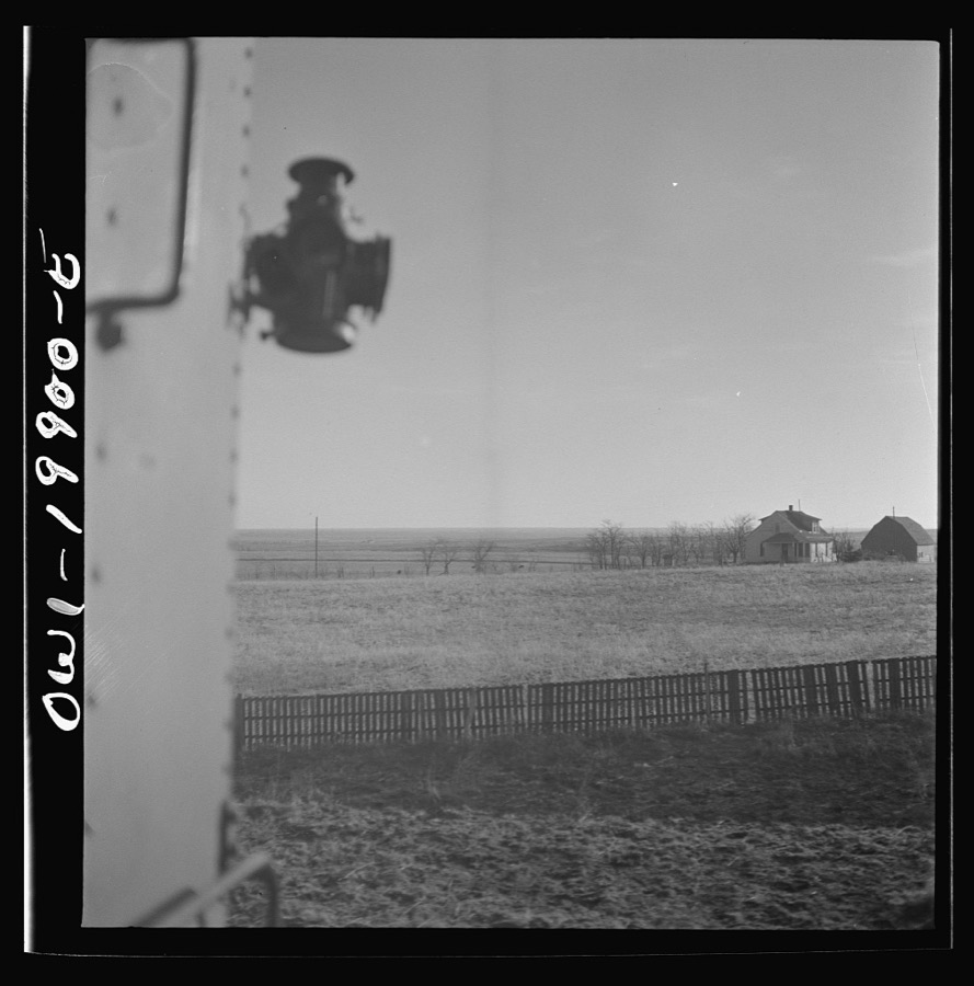
Delano, Jack, 1943. Library of Congress
Fires near this place
2 since 2015Regional context, not property-specific evidence. The federal wildfire occurrence database lists 2 fires within 5 miles of Woodward between 2015 and 2019, burning about 23,591 acres in total. None started naturally. None was recorded as arson. Distance is straight-line from the map coordinates, so a fire counted here may appear on a neighbouring settlement's page as well.
| Reported cause | Fires |
|---|---|
| Debris and open burning | 1 |
| Missing data/not specified/undetermined | 1 |
The most recent of them, most recent first, with the day each was reported and the service that recorded it.
| Date | Cause | Size | Reported by | Name on the report |
|---|---|---|---|---|
| 18 March 2019 | Debris and open burning | 103 acres | Oklahoma Division of Forestry | 41 FIRE |
| 16 March 2015 | Missing data/not specified/undetermined | 23,488 acres | Oklahoma Division of Forestry | BOILING SPRINGS FIRE |
Settlements close enough to share some of these fires:
Mines and quarries near this place
6 within 5 milesRegional context, not property-specific evidence. The federal mineral resources record lists 6 workings within 5 miles of Woodward: 4 past producers, 1 producer, 1 prospect. 1 still produces. What was taken out: Sand and Gravel, Construction, Limestone, General, Dolomite. Distance is straight-line from the map coordinates, so a quarry counted here may appear on a neighbouring settlement's page as well.
| Where | Site | Commodity | Status | Recorded |
|---|---|---|---|---|
| Unknown | Limestone, General | Past Producer | ||
| Unknown | Dolomite | Prospect | ||
| Kline Dredge and Plant | Sand and Gravel, Construction | Producer | ||
| Unknown | Sand and Gravel, Construction | Past Producer | ||
| Unknown | Sand and Gravel, Construction | Past Producer | ||
| Unknown | Sand and Gravel, Construction | Past Producer |
Storms near this place
60 of 245 shownRegional context, not property-specific evidence. The National Weather Service names Woodward in 245 storm reports between 1993 and 2025: 124 hail, 106 thunderstorm wind, 6 tornado, 5 flash flood. The reports record 1 injury. Each account below is quoted exactly as the forecast office filed it, from the NOAA Storm Events Database, and each date opens the federal record of that event.
| When | Event | Place named | Harm | What the report says |
|---|---|---|---|---|
| April 2012 | Hail | Woodward | 1 hurt | The hail broke multiple windows and dented several cars. |
| June 2005 | Thunderstorm Wind | Woodward | $80,000 | A barn was damaged. |
| August 1997 | Thunderstorm Wind | Woodward | $75,000 | A roof was blown off of an apartment building. |
| June 2007 | Thunderstorm Wind | Woodward | $60,000 | Several power lines were downed on the north side of town. The wind and half dollar size hail also combined for several windows to be broken in town. Several limbs were blown onto parked automobiles. Several trees sustained damage around Woodward. |
| August 2024 | Thunderstorm Wind | Woodward | $50,000 | Relayed images showing roof damage to a house and metal machine shed. A camper trailer was also blown over. Report relayed through broadcast media. Location is approximate and time is radar estimated. |
| August 2000 | Thunderstorm Wind | Woodward | $33,000 | Six power poles were downed near 48th Street. A portion of the roof was blown off at Woodward Elks Lodge. A 50-foot section of an aluminum roof was also blown off at Diamond Services Company on Oklahoma Avenue. |
| May 2001 | Thunderstorm Wind | Woodward | $25,500 | A tractor-trailer was blown over, and power lines were downed. |
| May 2012 | Thunderstorm Wind | Woodward | $25,000 | The Mesonet site 2 miles southwest of Woodward measured a 75 mph wind gust. Law enforcement in Woodward reported roof damage to the local Dairy Queen as well as toppled power poles. This wind was generated by a heat burst away from the parent thunderstorm. Monetary damages were estimated. |
| May 2001 | Thunderstorm Wind | Woodward | $21,000 | A tractor-trailer was blown over, and power lines were downed. |
| May 2017 | Thunderstorm Wind | Woodward | $20,000 | Also EM reported numerous power lines, utility poles, and trees down as well as awnings and outbuildings damaged. |
| May 2017 | Thunderstorm Wind | Woodward | $20,000 | Mobile home flipped over by winds. |
| August 2024 | Thunderstorm Wind | Woodward | $15,000 | Multiple power poles snapped along Oklahoma Highway 34 north of the community of Woodward. Report relayed through broadcast media. Location is approximate and time is radar estimated. |
| September 1999 | Thunderstorm Wind | Woodward | $15,000 | no account filed |
| July 2023 | Thunderstorm Wind | Woodward | $10,000 | Numerous power poles and lines blown down in the vicinity. Time is radar estimated. |
| May 2016 | Tornado (EF0) | Woodward | $10,000 | A tornado was observed north-northwest of Woodward by multiple spotters and storm chasers. Two outbuildings were damaged, but otherwise meandered over open ranchland. Although the tornado was observed to have become rather wide, both the damage produced and preliminary data from the University of Massachusetts X-Pol mobile Doppler radar operated by Purdue University researchers indicate that the tornado likely only produced EF0 wind speeds. Based on the circulation track derived from the UMass X-Pol radar, the total path length was approximately 2.7 miles along a meandering path. |
| March 2012 | Lightning | Woodward | $10,000 | A home near Boiling Springs State Park was struck by lightning. A significant portion of its roof was lost due to fire. |
| June 2007 | Thunderstorm Wind | Woodward | $10,000 | Several power lines were downed on the north side of town. Monetary damages were estimated. |
| August 2002 | Thunderstorm Wind | Woodward | $10,000 | Damage was sustained to two roofs. |
| August 2002 | Thunderstorm Wind | Woodward | $10,000 | Two trees were blown onto a house. |
| August 2017 | Thunderstorm Wind | Woodward | $5,000 | Several utility poles were snapped on Highway 412. Time was estimated. |
| September 1993 | Thunderstorm Wind | Woodward | $5,000 | no account filed |
| June 2013 | Thunderstorm Wind | Woodward | $3,000 | Trees of 10-12 inch diameter were blown down. |
| July 2011 | Thunderstorm Wind | Woodward | $3,000 | A large tree was blown down near 9th Street and Santa Fe Avenue. Minor damage was also reported to a carport near this location. Monetary damages were estimated. |
| September 2023 | Thunderstorm Wind | Woodward | $2,000 | Image relayed showing electrical pole leaning. Time estimated based on radar imagery and nearby wind gust at Woodward (WOOD) Mesonet site. |
| May 2019 | Thunderstorm Wind | Woodward | $2,000 | Power lines downed. |
| July 2010 | Thunderstorm Wind | Woodward | $2,000 | Two power poles were snapped along Highway 34. Monetary damages were estimated. |
| October 2000 | Thunderstorm Wind | Woodward | $1,000 | A car was damaged at a car dealership. |
| July 2000 | Thunderstorm Wind | Woodward | $1,000 | Trees were downed. |
| June 2005 | Thunderstorm Wind | Woodward | $500 | Sign damage was reported. |
| May 1998 | Thunderstorm Wind | Woodward | $500 | no account filed |
| June 2000 | Thunderstorm Wind | Woodward | $10 | Large tree limbs were downed. |
| June 1996 | Thunderstorm Wind | Woodward | $10 | no account filed |
| May 2025 | Hail | Woodward | - | The report was relayed through mPING. |
| May 2025 | Hail | Woodward | - | Hailfall occurred near the intersection of Oklahoma Highway 34C and County Road 3800. The event time is estimated from radar observations. |
| May 2025 | Hail | Woodward | - | The report was relayed through mPING. |
| May 2025 | Hail | Woodward | - | The location is approximate. |
| May 2025 | Hail | Woodward | - | An image showing a ruler measurement was shared. The location is approximate. |
| May 2025 | Hail | Woodward | - | The report was relayed through mPING. |
| May 2025 | Hail | Woodward | - | An image was shared. The location is approximate. |
| May 2024 | Hail | Woodward | - | MPing report. |
| June 2024 | Thunderstorm Wind | Woodward | - | Woodward (WOOD) Mesonet observation. |
| June 2024 | Thunderstorm Wind | Woodward | - | Woodward (WOOD) Mesonet observation. |
| May 2024 | Hail | Woodward | - | MPing report. |
| August 2024 | Thunderstorm Wind | Woodward | - | Personal weather station measurement. Outflow winds associated with convection near the Oklahoma and Kansas border. |
| May 2024 | Hail | Woodward | - | Social media images. Time is radar estimated. |
| June 2023 | Thunderstorm Wind | Woodward | - | Woodward (WOOD) Mesonet observation. Heat burst event. |
| September 2023 | Thunderstorm Wind | Woodward | - | Woodward (WOOD) Mesonet observation. |
| July 2023 | Hail | Woodward | - | MPing report. |
| July 2023 | Thunderstorm Wind | Woodward | - | Woodward (WOOD) Mesonet observation. |
| July 2023 | Thunderstorm Wind | Woodward | - | Woodward (WOOD) Mesonet observation. |
| July 2023 | Tornado (EF1) | Woodward | - | Numerous power poles and lines blown down in the vicinity. Time is radar estimated. |
| July 2023 | Thunderstorm Wind | Woodward | - | Woodward (WOOD) Mesonet observation. |
| July 2023 | Hail | Woodward | - | MPing report. |
| July 2022 | Flash Flood | Woodward | - | Many streets with one to two feet of water. Some areas impassable with up to 3 to 5 inches of rain measured across Woodward. |
| August 2019 | Thunderstorm Wind | Woodward | - | Estimated severe wind gusts. |
| May 2019 | Flash Flood | Woodward | - | Water one and a half feet deep on many roadways and parking lots. Most roads are inaccessible. |
| May 2018 | Thunderstorm Wind | Woodward | - | No damage reported. |
| June 2018 | Thunderstorm Wind | Woodward | - | Eighty-five foot tree reported down. |
| May 2017 | Thunderstorm Wind | Woodward | - | No damage reported. |
| May 2017 | Hail | Woodward | - | Time estimated by radar. |
Nearest settlements
The eight closest, with where each one stands in the county. Distances are straight-line, computed from the Geographic Names Information System coordinates.
Elsewhere
Matched on this settlement's Geographic Names Information System number rather than its name, so it cannot be a different place of the same name in another state.
| Wikipedia article on Woodward | An encyclopaedic summary. Its text is share-alike, so it is linked here rather than copied. |
| Wikidata item Q2173029 | The structured record the population and elevation above come from. Public domain (CC0). |
Provenance
This settlement is recorded in the Geographic Names Information System as feature 1100006. The sheet list is computed by point-in-boundary test against the United States Geological Survey's historical topographic inventory. Both are works of the United States government and carry no copyright under 17 U.S.C. 105.
Wildfire. Short, Karen C. 2022. Spatial wildfire occurrence data for the United States, 1992-2020 [FPA_FOD_20221014]. 6th Edition. Fort Collins, CO: Forest Service Research Data Archive. https://doi.org/10.2737/RDS-2013-0009.6 Collected with United States Government funding and usable without additional permissions or fees.
Mines and quarries. USGS Mineral Resources Data System (MRDS) https://mrdata.usgs.gov/mrds/ A work of the United States government, no copyright under 17 U.S.C. 105.
Storms. NOAA National Centers for Environmental Information, Storm Events Database https://www.ncei.noaa.gov/stormevents/ A work of the United States government, no copyright under 17 U.S.C. 105. Narratives are quoted verbatim from the National Weather Service report and are not edited or summarised.