 Block
Alva, Oklahoma
8 topographic sheets cover this place, the earliest surveyed in 1955 and the latest in 1990. It stands in the Alva census division. It lies in ZIP code area 73717. It stands on Turkey Creek. The Survey maps it on the Alva quadrangle. 5,028 people lived here at the 2020 count. It stands 1,348 feet above sea level.
On record in Alva
Buildings and businesses the archive holds for this place. Each opens its own page, with the source record it came from.
On the National Register 12 records
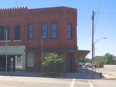 Central National Banklisted 1984
- Alva Armorylisted 1988
- Branson Buildinglisted 1984
- Building at 405-407 College Avenuelisted 1984
- Building at 409 College Avenuelisted 1984
- Building at 500 Flynn Streetlisted 1984
- Hotel Belllisted 2013
- I.O.O.F. Halllisted 1984
- Kavanaugh and Shea Buildinglisted 1984
- Nickel Ensor McClure Houselisted 2010
- Science Halllisted 1983
- Stine Buildinglisted 1982
Population over time
2 figuresAlva grew from 4,945 to 5,028 between 2010 and 2020. These are the recorded population figures Wikidata holds for this place, reached through the Geographic Names Information System number this page is keyed on rather than by name, so they belong to this place and not to another of the same name. Most are census counts, but not all are: an early figure may be a founding or settlement estimate, and an estimate published within five years of a census is left out. The change column is computed, and is left blank where more than 20 years separate a figure from the one before it, because a gap that long is not a change between two counts.
| Year | People | Change |
|---|---|---|
| 2010 | 4,945 | |
| 2020 | 5,028 | +83 (+2%) |
Topographic sheets covering this place
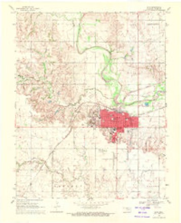
5 surveys from 8 printed sheetsMatched by testing this settlement's coordinate against the published boundary of every sheet in the United States Geological Survey's historical collection. Each opens the scanned sheet at the Survey.
- 1955 USGS Woodward quadrangle1:250000, 3 printings
- 1958 USGS Woodward quadrangle1:250000, 2 printings
- 1969 USGS Alva quadrangle1:24000
- 1985 USGS Alva quadrangle1:100000
- 1990 USGS Alva quadrangle1:100000
Photographs
5 photographs, 1943Taken for the Office of War Information and the Farm Security Administration, who photographed the country between 1935 and 1944. Works of United States government photographers, with no known restriction on use. Each opens its catalogue record.
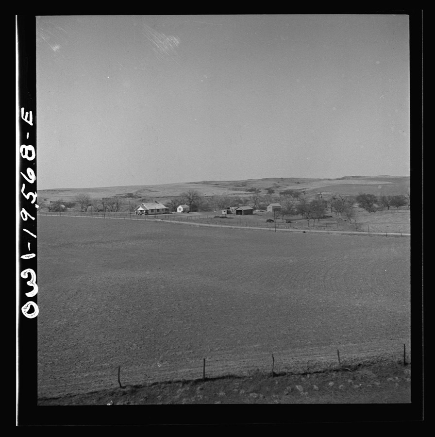
Delano, Jack, 1943. Library of Congress
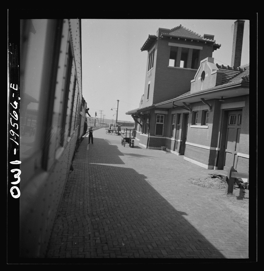
Delano, Jack, 1943. Library of Congress
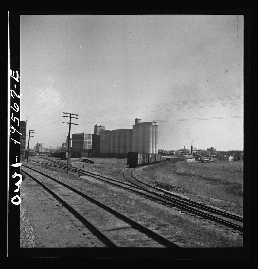
Delano, Jack, 1943. Library of Congress
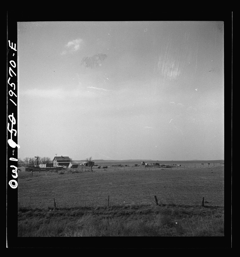
Delano, Jack, 1943. Library of Congress
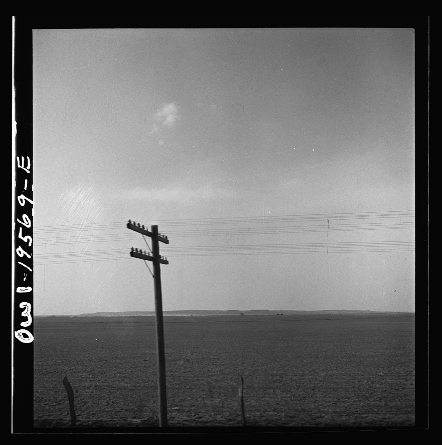
Delano, Jack, 1943. Library of Congress
Mines and quarries near this place
6 within 5 milesRegional context, not property-specific evidence. The federal mineral resources record lists 6 workings within 5 miles of Alva: 5 past producers, 1 producer. 1 still produces. What was taken out: Sand and Gravel, Construction. Distance is straight-line from the map coordinates, so a quarry counted here may appear on a neighbouring settlement's page as well.
| Where | Site | Commodity | Status | Recorded |
|---|---|---|---|---|
| Alva Concrete Materials Sand Pit | Sand and Gravel, Construction | Past Producer | ||
| L & L Paving Co Sand Pit | Sand and Gravel, Construction | Producer | ||
| Unknown Gravel Pit | Sand and Gravel, Construction | Past Producer | ||
| Unknown Sand Pit | Sand and Gravel, Construction | Past Producer | ||
| Unknown Sand and Gravel Pit | Sand and Gravel, Construction | Past Producer | ||
| Unknown Sand and Gravel Pit | Sand and Gravel, Construction | Past Producer |
Storms near this place
60 of 138 shownRegional context, not property-specific evidence. The National Weather Service names Alva in 138 storm reports between 1993 and 2025: 86 thunderstorm wind, 47 hail, 3 flash flood, 1 heavy rain. The reports record 1 injury. Each account below is quoted exactly as the forecast office filed it, from the NOAA Storm Events Database, and each date opens the federal record of that event.
| When | Event | Place named | Harm | What the report says |
|---|---|---|---|---|
| May 1998 | Thunderstorm Wind | Alva | 1 hurt, $55,000 | no account filed |
| May 1999 | Hail | Alva | $200,000 | no account filed |
| July 2000 | Thunderstorm Wind | Alva | $55,000 | A house and business were destroyed when their roofs were blown off, and numerous trees and power lines were downed. |
| June 2025 | Thunderstorm Wind | Alva | $50,000 | A swath of significant thunderstorm wind damage occurred across portions of northeastern Woods County during the early morning of the 7th. Initial damage occurred along Major Road, just southwest of the community of Winchester. Here, a small metal outbuilding was destroyed along with several large tree limbs blown down. Trees were uprooted at several properties near/along U.S. Highway 281, north of the community of Alva. Additional damage occurred in the community of Capron, including several electrical poles that were broken and/or leaning and additional tree damage. The damage path is estimated, and the event time is estimated from radar observations. Damage photos were relayed courtesy of the Oklahoma Department of Emergency Management. |
| July 2005 | Thunderstorm Wind | Alva | $50,000 | Five BNSF railroad cars were blown off the tracks. |
| June 1994 | Thunderstorm Wind | Alva | $50,000 | no account filed |
| June 2002 | Thunderstorm Wind | Alva | $15,000 | A tower was blown over. |
| July 2000 | Thunderstorm Wind | Alva | $15,000 | A mobile home was blown over. |
| August 1997 | Thunderstorm Wind | Alva | $7,500 | Severe thunderstorm winds completely destroyed a shed and damaged all other buildings on a farm just southeast of Alva. |
| May 2024 | Thunderstorm Wind | Alva | $5,000 | Powerlines down along with nearby damage to a barn. Time is radar estimated. |
| July 1994 | Thunderstorm Wind | Alva | $5,000 | Thunderstorms in northwest Oklahoma during the late evening hours on the 24th and early morning hours on the 25th produced damaging winds and damaging lightning. Thunderstorm winds ripped a section of a roof off a mobile home 6 miles north of Alva. Significant water damage from rain occurred after the roof was ripped off the mobile home. Lightning started a fire in a oil tank 15 miles northwest of Alva. |
| June 1994 | Thunderstorm Wind | Alva | $5,000 | no account filed |
| August 1994 | Thunderstorm Wind | Alva | $5,000 | no account filed |
| April 1999 | Thunderstorm Wind | Alva | $4,000 | no account filed |
| May 2000 | Flash Flood | Alva | $2,500 | Floodwaters from the Eagle Chief Creek washed out a low water crossing in a construction area adjacent to US Highway 281. |
| March 2007 | Thunderstorm Wind | Alva | $1,500 | A 25 to 30 foot tree was toppled over power and cable lines. |
| July 2004 | Thunderstorm Wind | Alva | $500 | Strong winds caused trees 2 feet in diameter to be uprooted as well as numerous tree limbs downed. Windows were also broken. |
| March 2000 | Thunderstorm Wind | Alva | $500 | Power lines were downed. |
| April 1999 | Thunderstorm Wind | Alva | $500 | no account filed |
| August 1997 | Thunderstorm Wind | Alva | $10 | Tree limbs up to four inches in diameter were blown from trees. |
| August 1997 | Thunderstorm Wind | Alva | $10 | Tree limbs up to ten inches in diameter were blown from trees. |
| May 1996 | Thunderstorm Wind | Alva | $10 | no account filed |
| June 2025 | Hail | Alva | - | The report was relayed through Spotter Network. |
| May 2024 | Thunderstorm Wind | Alva | - | Alva Regional Airport (KAVK) observation. |
| May 2019 | Flash Flood | Alva | - | Three roads closed out of Alva due to debris and water over the roadways. |
| May 2017 | Tornado (EFU) | Alva | - | A brief tornado was observed northwest of Alva. No damage was reported and the specific location was estimated. |
| June 2017 | Thunderstorm Wind | Alva | - | Sheriff's department reported thunderstorm wind damage throughout the county. This includes trees and power lines down, roof off of a building in Alva, and a gas station awning removed. Also there was a report of a train derailment near Alva. Time of occurrence based on radar was between about midnight and shortly after 1am. |
| June 2016 | Thunderstorm Wind | Alva | - | Several large tree limbs were downed by winds estimated between 60 and 70 mph. |
| July 2013 | Thunderstorm Wind | Alva | - | Law enforcement estimated gusts around 60 mph. |
| July 2013 | Thunderstorm Wind | Alva | - | Law enforcement estimated gusts around 60 mph. |
| February 2012 | Thunderstorm Wind | Alva | - | Small hail was also reported with the wind gust. |
| May 2010 | Hail | Alva | - | The hail was reported on the northwest side of town. |
| April 2009 | Hail | Alva | - | The hail covered the ground. |
| April 2009 | Thunderstorm Wind | Alva | - | A power pole was blown down on Highway 281, two miles north of Highway 64. Monetary damages were estimated. |
| April 2009 | Hail | Alva | - | Estimated 50 mph winds were also reported. |
| April 2008 | Hail | Alva | - | The hail almost covered the ground. |
| June 2007 | Hail | Alva | - | The hail was reported at the intersection of HWY 11 and 281. |
| August 2006 | Thunderstorm Wind | Alva | - | Wind was measured by the Oklahoma mesonet. |
| June 2005 | Thunderstorm Wind | Alva | - | Wind was measured by the Oklahoma mesonet. |
| July 2005 | Thunderstorm Wind | Alva | - | Wind was measured by the Oklahoma mesonet. |
| July 2005 | Thunderstorm Wind | Alva | - | Wind was measured by the Oklahoma mesonet. |
| July 2005 | Thunderstorm Wind | Alva | - | Wind was measured by the Oklahoma mesonet. |
| July 2004 | Thunderstorm Wind | Alva | - | Wind gust was measured by the KAVK AWOS. Windows were broken at the Alva airport. Several hangars were heavily damaged. A large outdoor soda machine was blown over. Winds also blew a dumpster into one hangar door. |
| July 2004 | Hail | Alva | - | Hail was reported on the south side of town. |
| August 2004 | Thunderstorm Wind | Alva | - | Wind was measured by the Oklahoma mesonet. |
| July 2004 | Hail | Alva | - | Hail was reported on the north side of town. |
| June 2002 | Thunderstorm Wind | Alva | - | Wind was measured by the Oklahoma mesonet. |
| June 2002 | Thunderstorm Wind | Alva | - | Wind was measured by the Oklahoma mesonet. |
| June 2002 | Thunderstorm Wind | Alva | - | Wind was measured by the Oklahoma mesonet. |
| June 2002 | Thunderstorm Wind | Alva | - | Wind was measured by the Oklahoma mesonet. |
| June 2002 | Thunderstorm Wind | Alva | - | Wind was measured by the Oklahoma mesonet. |
| July 2002 | Thunderstorm Wind | Alva | - | Wind was measured by the Oklahoma mesonet. |
| August 2002 | Thunderstorm Wind | Alva | - | Wind was measured by the Oklahoma mesonet. |
| August 2002 | Thunderstorm Wind | Alva | - | Wind was measured by the Oklahoma mesonet. |
| April 2001 | Thunderstorm Wind | Alva | - | Wind was measured by Oklahoma mesonet. |
| May 2001 | Thunderstorm Wind | Alva | - | Wind was measured by Oklahoma mesonet. |
| June 2001 | Thunderstorm Wind | Alva | - | Wind was measured by Oklahoma mesonet. |
| June 2000 | Thunderstorm Wind | Alva | - | Wind gust was measured by the Oklahoma mesonet. |
| May 2000 | Thunderstorm Wind | Alva | - | Measured by the Oklahoma mesonet. |
| July 2000 | Thunderstorm Wind | Alva | - | Wind was measured by the Oklahoma mesonet. |
Nearest settlements
The eight closest, with where each one stands in the county. Distances are straight-line, computed from the Geographic Names Information System coordinates.
Elsewhere
Matched on this settlement's Geographic Names Information System number rather than its name, so it cannot be a different place of the same name in another state.
| Wikipedia article on Alva | An encyclopaedic summary. Its text is share-alike, so it is linked here rather than copied. |
| Wikidata item Q998914 | The structured record the population and elevation above come from. Public domain (CC0). |
Provenance
This settlement is recorded in the Geographic Names Information System as feature 1089605. The sheet list is computed by point-in-boundary test against the United States Geological Survey's historical topographic inventory. Both are works of the United States government and carry no copyright under 17 U.S.C. 105.
Mines and quarries. USGS Mineral Resources Data System (MRDS) https://mrdata.usgs.gov/mrds/ A work of the United States government, no copyright under 17 U.S.C. 105.
Storms. NOAA National Centers for Environmental Information, Storm Events Database https://www.ncei.noaa.gov/stormevents/ A work of the United States government, no copyright under 17 U.S.C. 105. Narratives are quoted verbatim from the National Weather Service report and are not edited or summarised.