 Block
From the record
15 National Register listings published here.
Sources: the National Register database, National Park Service
25 topographic sheets and 14 fire insurance atlases across 2 places.
15 National Register listings published here.
Sources: the National Register database, National Park Service
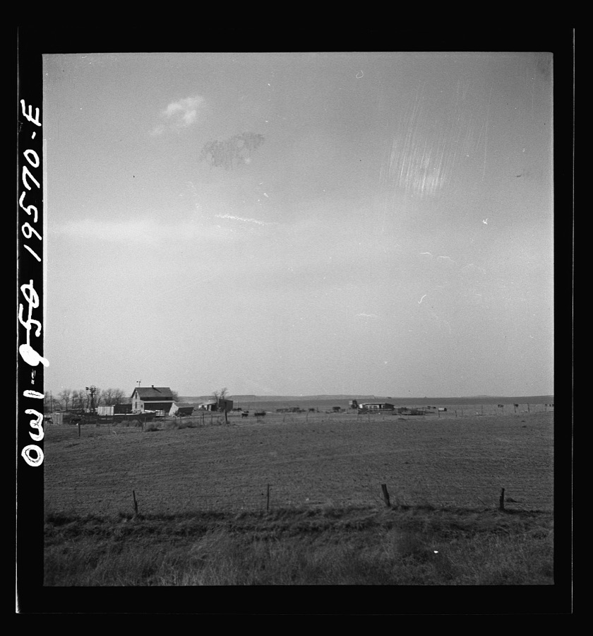
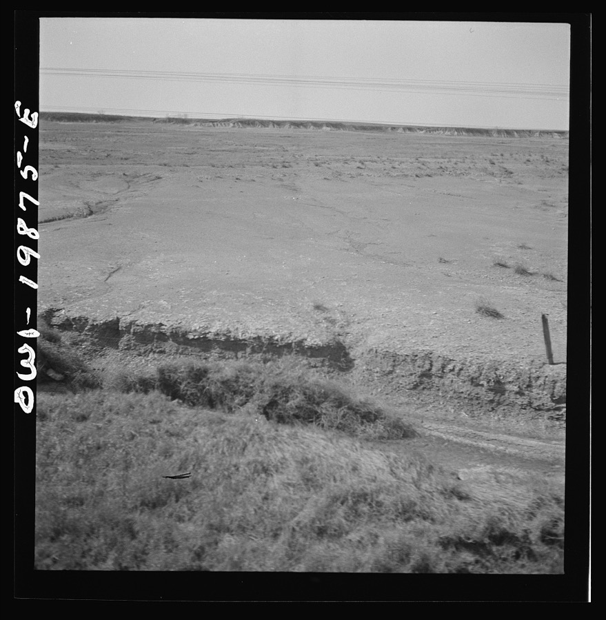
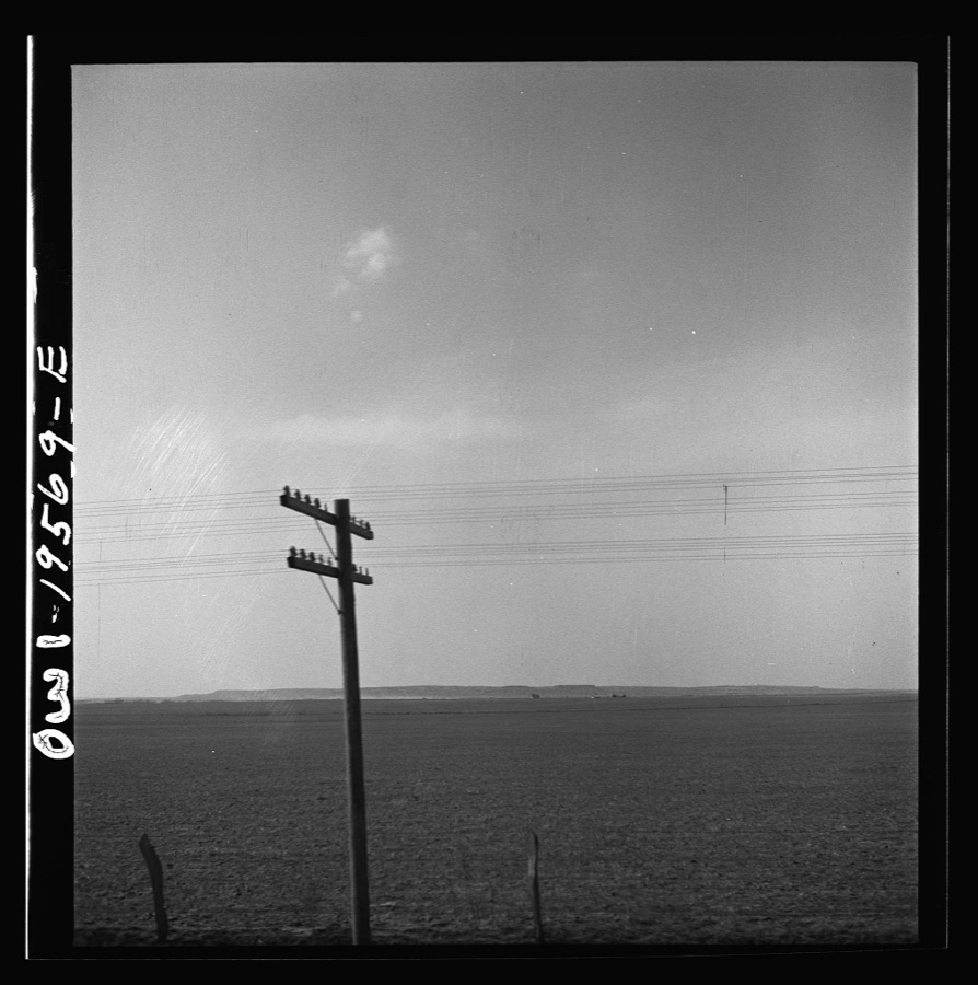
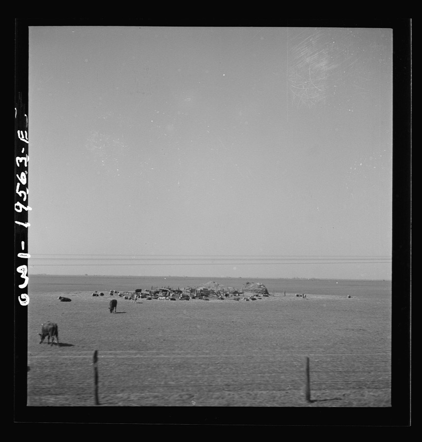
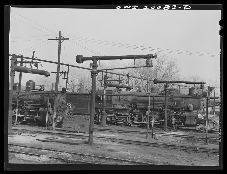
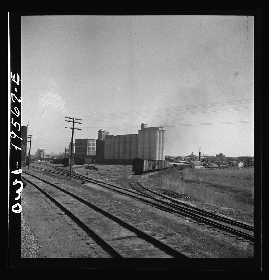
Taken for the Office of War Information and the Farm Security Administration, who photographed the country between 1935 and 1944. Works of United States government photographers, with no known restriction on use. Each opens its catalogue record.
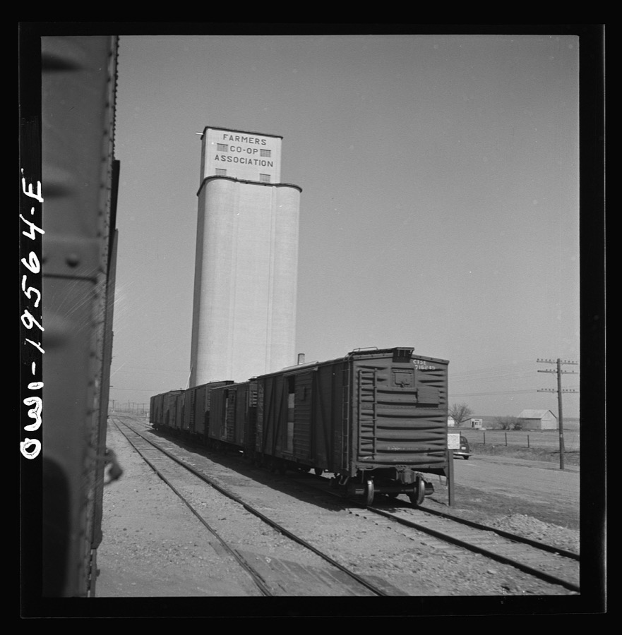
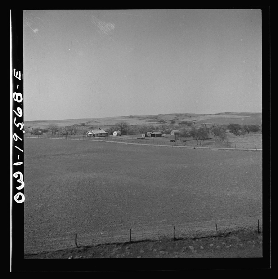
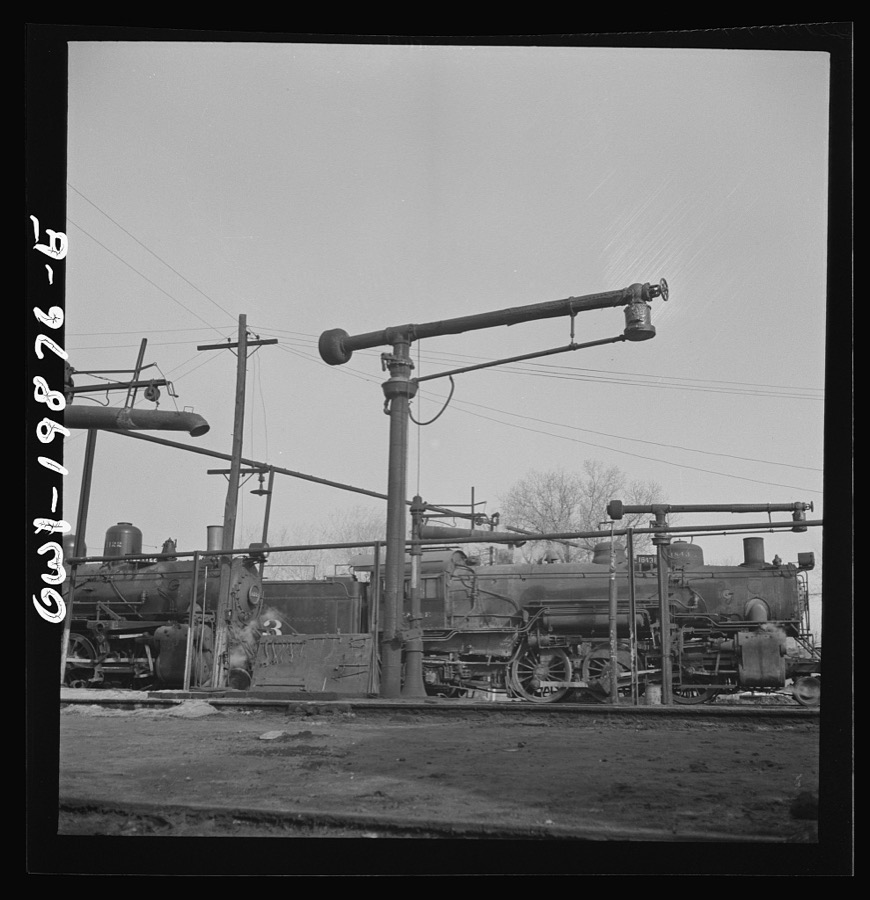
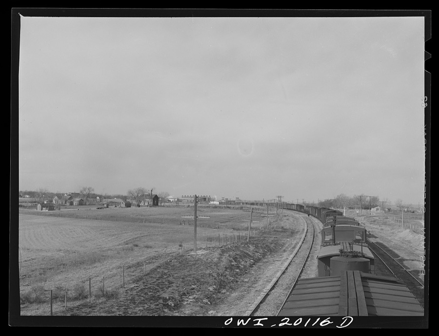
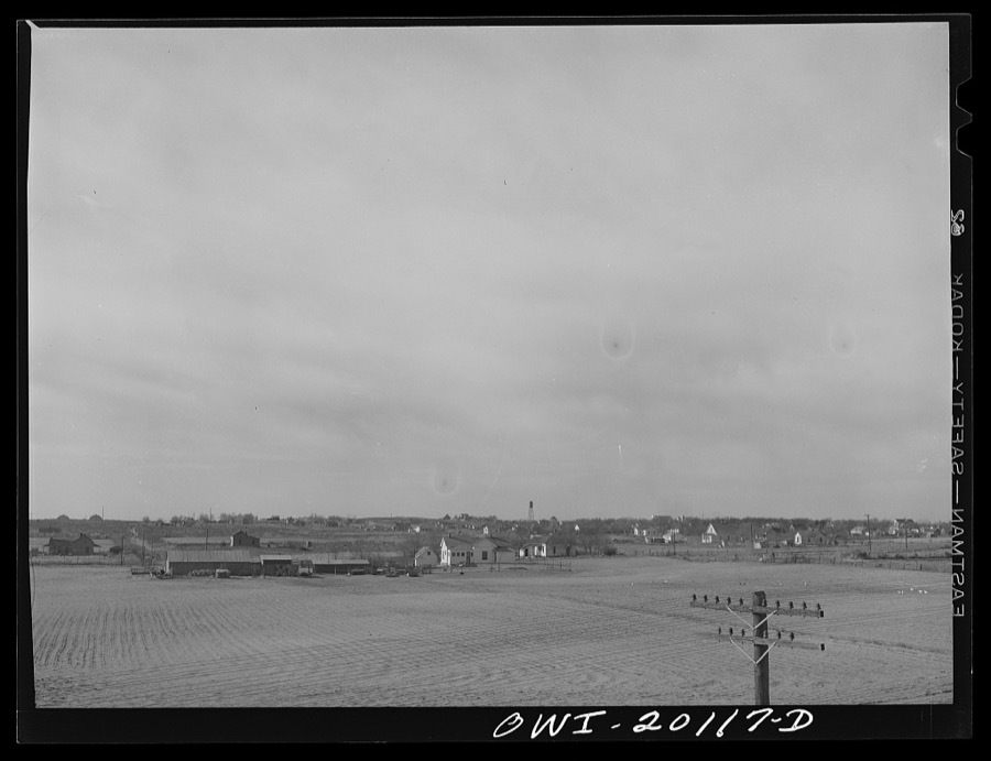
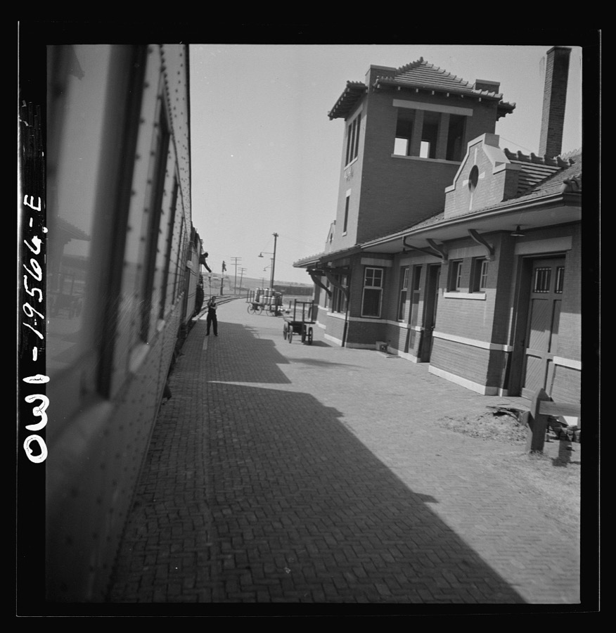
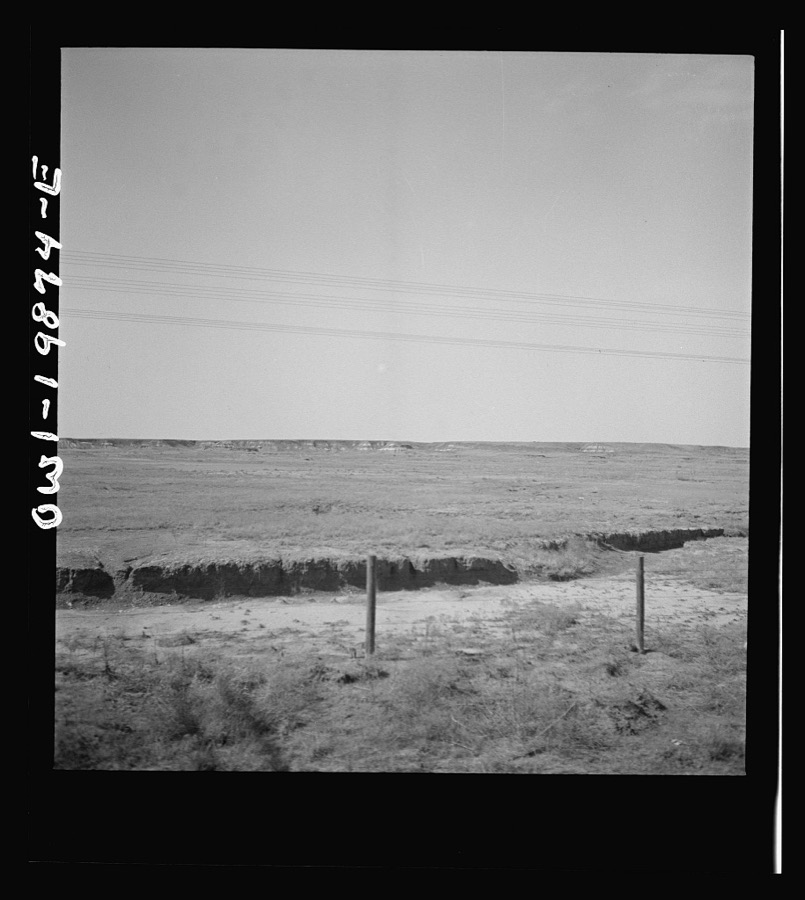
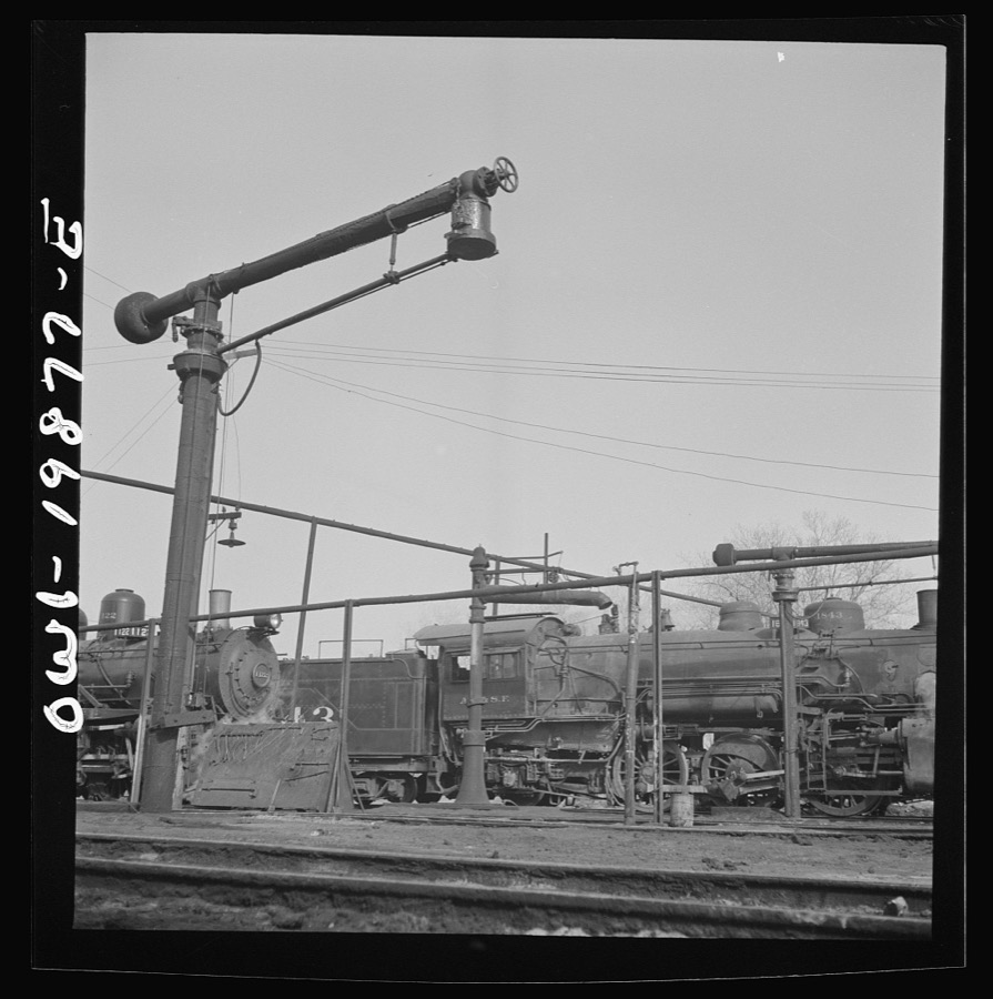
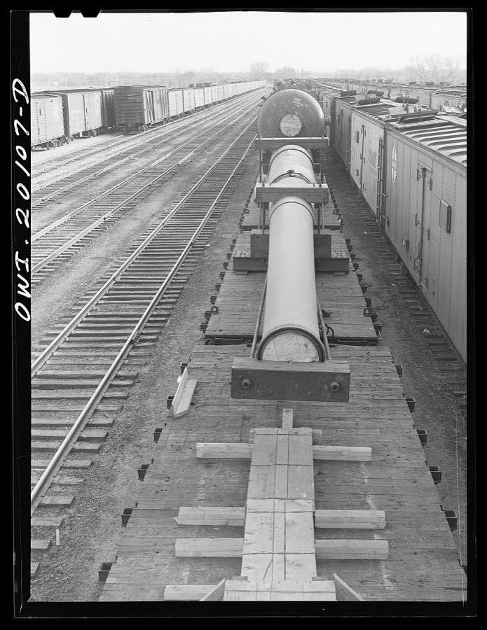
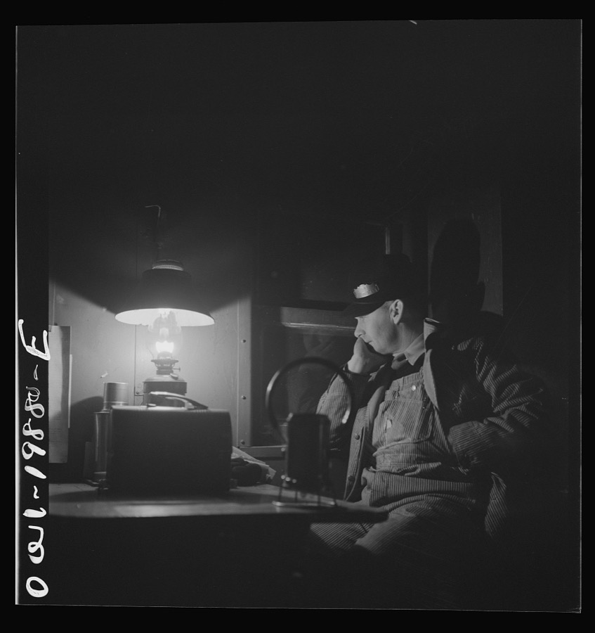
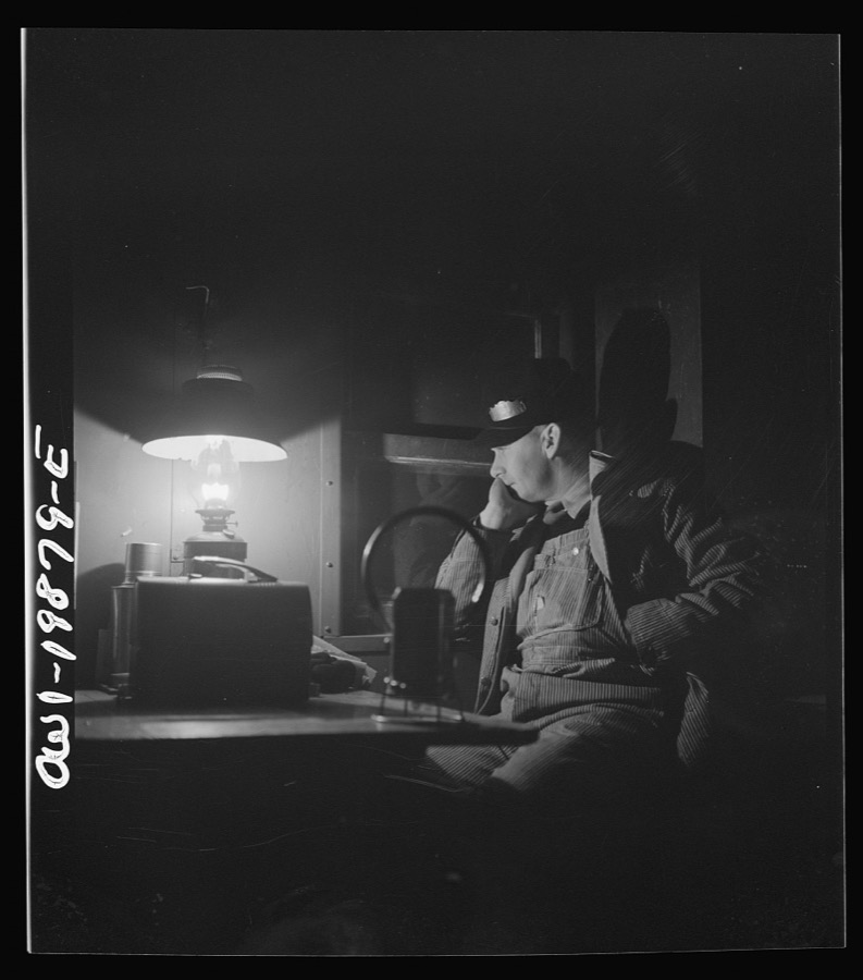

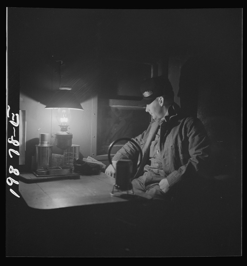
Every property in this county listed on the National Register of Historic Places, with the year it was listed and the federal nomination document.
| Photograph | Property | Type | Listed | Reference |
|---|---|---|---|---|
| Alva Armory | building | 1988 | 88001360 | |
| Branson Building | building | 1984 | 84000700 | |
| Building at 405-407 College Avenue | building | 1984 | 84000702 | |
| Building at 409 College Avenue | building | 1984 | 84000703 | |
| Building at 500 Flynn Street | building | 1984 | 84000704 | |
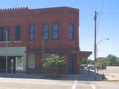 | Central National Bank | building | 1984 | 84000705 |
| First Congregational Church | building | 2017 | 100001871 | |
| Hotel Bell | building | 2013 | 13000395 | |
| I.O.O.F. Hall | building | 1984 | 84000706 | |
| Kavanaugh and Shea Building | building | 1984 | 84000707 | |
| Nickel Ensor McClure House | building | 2010 | 10000623 | |
| Science Hall | building | 1983 | 83002141 | |
| Stine Building | building | 1982 | 82003717 | |
| Waynoka Sante Fe Depot and Harvey House | building | 1974 | 74001671 | |
| Waynoka Telephone Exchange Building | building | 2014 | 14000597 |
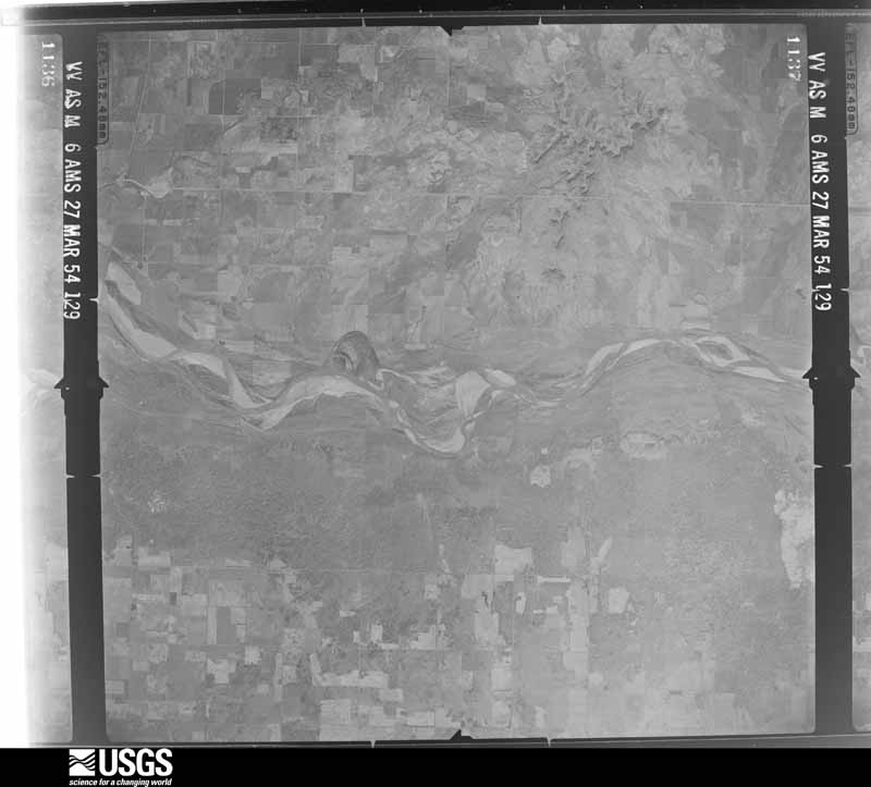
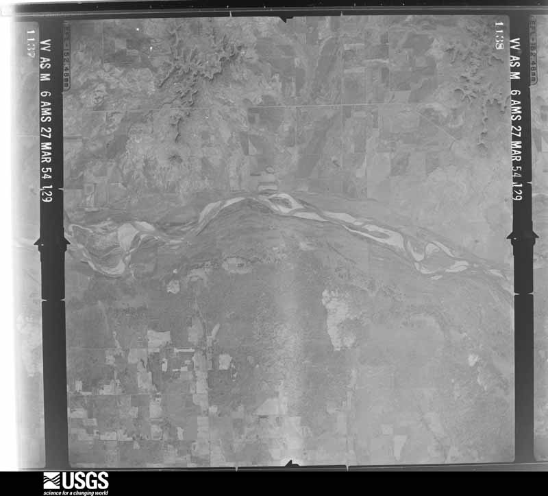
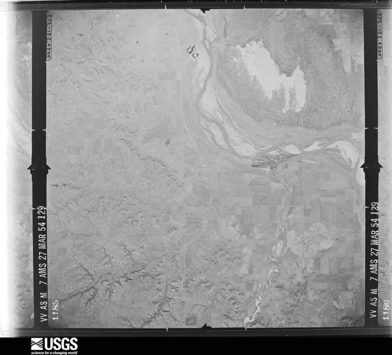
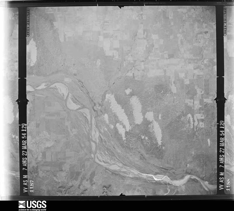
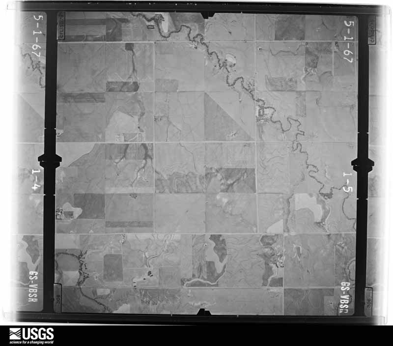
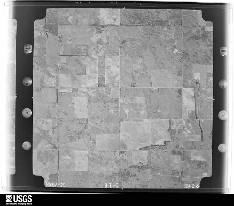
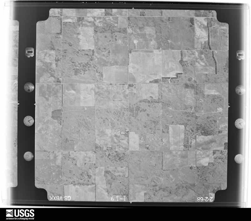
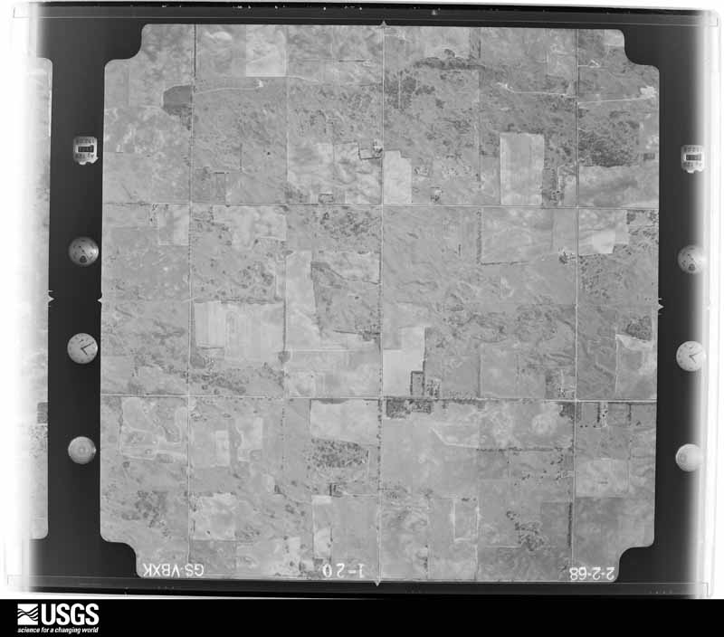
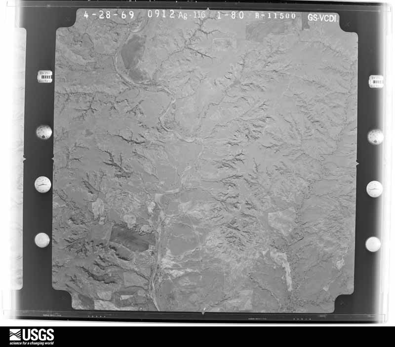
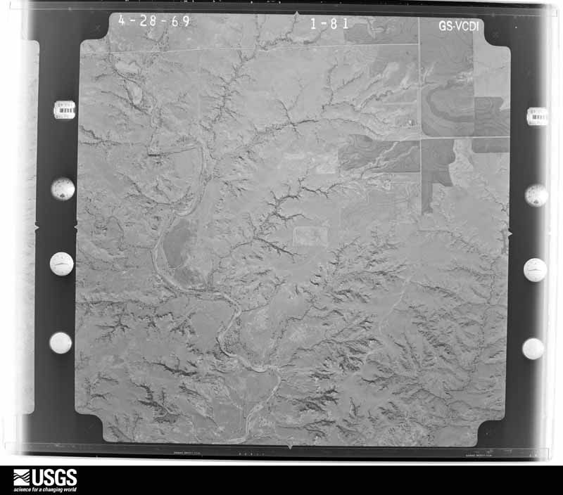
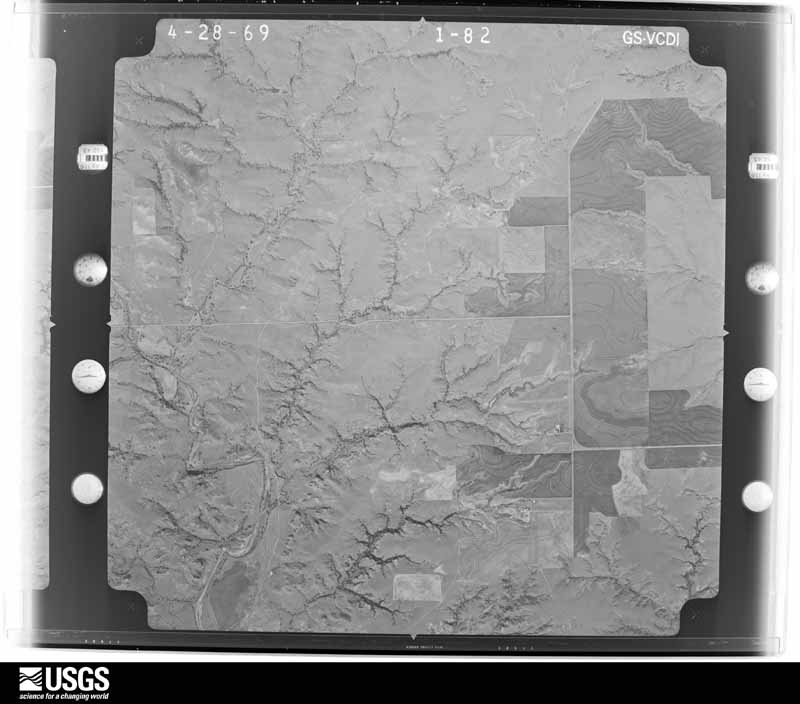
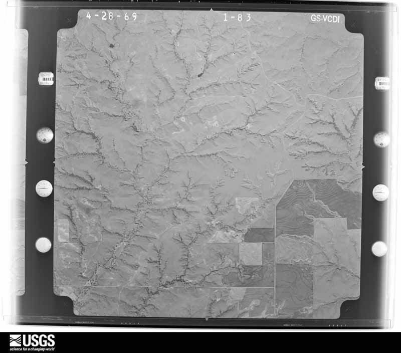
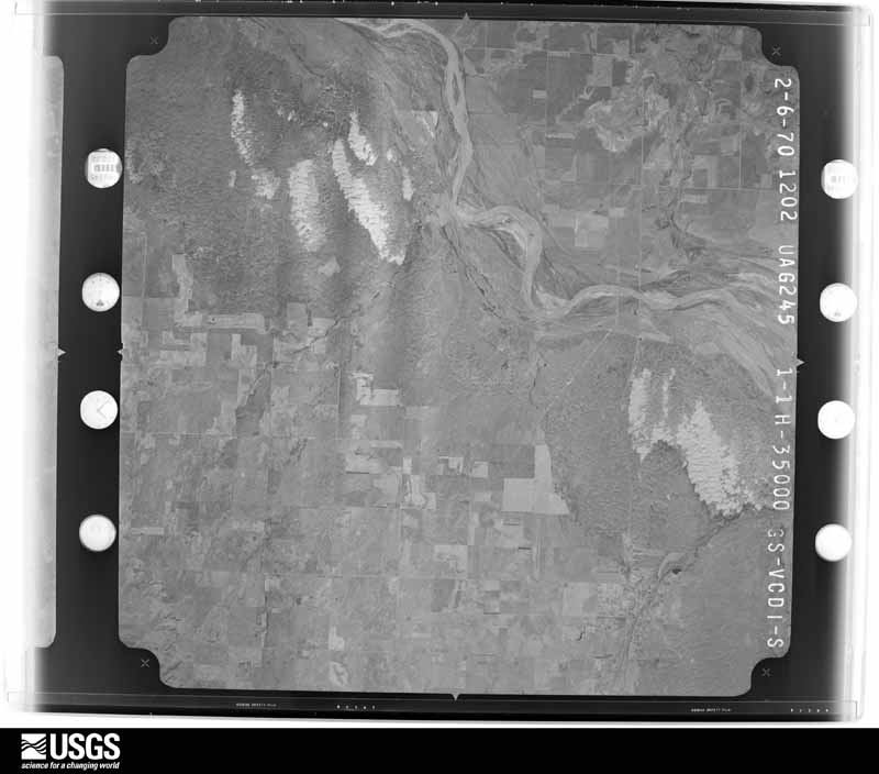
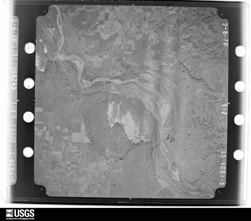
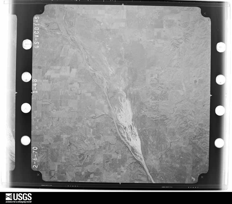
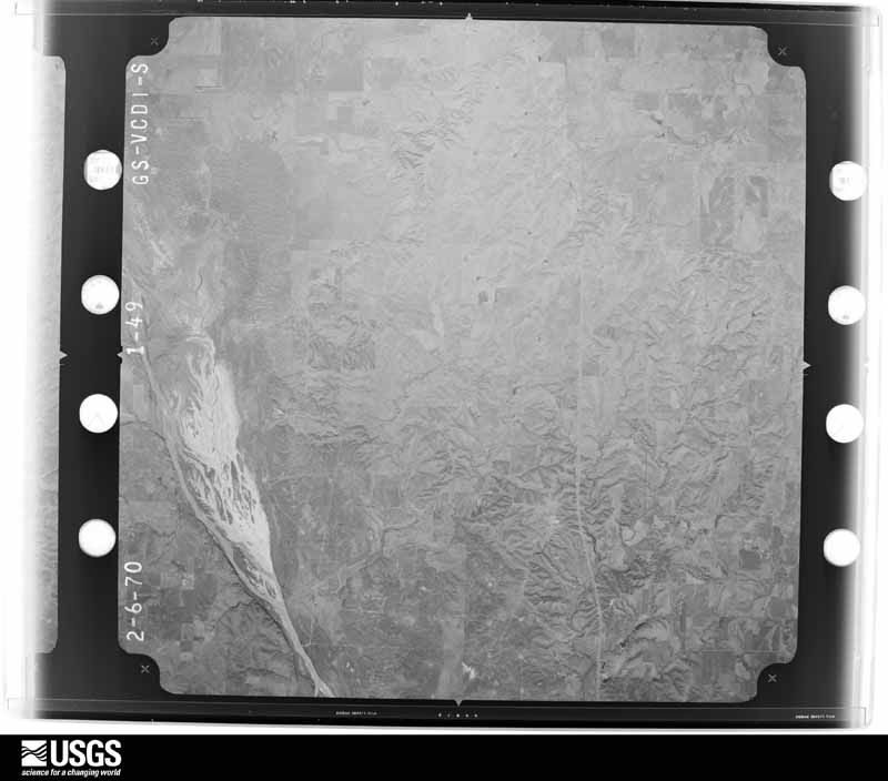
Flown by the U.S. Geological Survey between 1937 and 1989, the Aerial Photo Single Frames collection is the definitive mid-century view of the land: fields, roads and rivers as the camera saw them. The Survey holds 1,453 frames inside the rectangle that bounds this county; the 20 frames below were taken over the county itself, chosen across the decades of flights (at most four a year from that rectangle), so one flight cannot crowd out the rest. The full set is free to browse and download at EarthExplorer under the dataset Aerial Photo Single Frames.
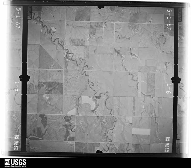
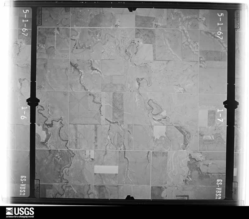
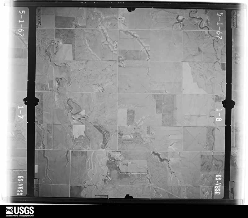
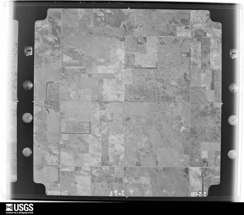
The thermometers that kept this county's weather, and the gages that measured the flow of its streams, as the federal records hold them. The extremes below are measured values from those records, not estimates.
Who lived here in 1950, one enumeration district at a time, as the Census Bureau described each district. Each row opens its official National Archives result, with Population Schedules and ED Maps available there.
Every wildfire the federal occurrence database records inside this county: 8 of them, burning about 450,530 acres. None started naturally and none was recorded as arson. Each settlement page carries the fires within five miles of it.
| Reported cause | Fires |
|---|---|
| Missing data/not specified/undetermined | 6 |
| Equipment and vehicle use | 2 |
The five largest, by the area the report gives. None of them was recorded as arson.
| Date | Cause | Size | Reported by | Name on the report |
|---|---|---|---|---|
| 23 March 2016 | Missing data/not specified/undetermined | 367,740 acres | Oklahoma Division of Forestry | ANDERSON CREEK FIRE |
| 22 February 1996 | Missing data/not specified/undetermined | 70,000 acres | Barber County | not named |
| 3 June 2011 | Missing data/not specified/undetermined | 5,150 acres | Oklahoma Division of Forestry | TURKEY SPRINGS FIRE |
| 6 March 2007 | Missing data/not specified/undetermined | 3,500 acres | Oklahoma Division of Forestry | WOODS CTY. FIRE |
| 18 February 2018 | Missing data/not specified/undetermined | 2,549 acres | Oklahoma Division of Forestry | RED HORSE |
| 6 March 2018 | Missing data/not specified/undetermined | 1,011 acres | Oklahoma Division of Forestry | GALENA |
| 10 June 2020 | Equipment and vehicle use | 550 acres | Oklahoma Division of Forestry | 180&KIOWA RD. FIRE |
| 4 January 2006 | Equipment and vehicle use | 30 acres | Pawnee Agency | KILLDEER |
Every settlement page carries the fires within five miles of it - see the settlement index below.
The NOAA Storm Events Database holds 825 reports for this county, causing 1 death, 11 injuries and about $1,604,880 in recorded property damage. Each settlement page carries the reports that name it.
| Kind of event | Reports |
|---|---|
| Hail | 392 |
| Thunderstorm Wind | 357 |
| Tornado | 57 |
| Flash Flood | 12 |
| Lightning | 3 |
| Heavy Rain | 3 |
| Flood | 1 |
The most serious of them, by death, then injury, then recorded damage. The accounts are quoted exactly as the forecast office filed them.
| When | Event | Place named | Harm | What the report says |
|---|---|---|---|---|
| October 1998 | Flash Flood | Countywide | 1 killed | no account filed |
| July 1995 | Thunderstorm Wind | Freedom | 4 hurt | Evening and late night thunderstorms in northwest Oklahoma dropped hail as large as quarters one mile east of Catesby in Ellis County. A few hours later a wind gust was measured at 84 mph at the Oklahoma Mesonet site in west of Freedom in Woodward County. Some damage from the strong winds was reported in Freedom, including highline poles downed, windows blown out of a house, and a large tree downed onto a camper. |
| April 1956 | Tornado (F3) | not stated | 2 hurt, $250,000 | no account filed |
| April 1951 | Tornado (F2) | not stated | 2 hurt, $2,500 | no account filed |
| May 1998 | Thunderstorm Wind | Alva | 1 hurt, $55,000 | no account filed |
| June 1995 | Thunderstorm Wind | Plainview | 1 hurt, $50,000 | no account filed |
| April 2002 | Tornado (F2) | Waynoka | 1 hurt, $35,000 | This tornado is a continuation of the tornado that moved out of Major County at 0032 CST. The tornado curved to the right as it crossed the Cimarron River and moved northeastward for 15 miles before entering Alfalfa County at 0005 CST on April 18th. In Woods County, about 2 miles southwest of the intersection of State Highway 45 and the Woods County line, the roof of a trailer house was completely removed, and an exterior wall on the northeast side of the house was badly damaged and partially removed from the structure. The owner of the house received minor abrasions to his arm. Across the road from the house, a barn was unroofed, and most of the walls were destroyed. Otherwise, only tree damage was observed across Woods County. |
| May 1999 | Hail | Alva | $200,000 | no account filed |
| June 2004 | Lightning | Waynoka | $75,000 | Lightning struck an empty fiberglass saltwater storage tank causing an explosion at the newly opened Green Valley Saltwater Disposal Plant east of Waynoka on Highway 281. The explosion caused nearly full reclaimed oil storage tanks to catch on fire and burn for much of the night. Some nearby equipment was also destroyed by the fire. |
| July 2000 | Thunderstorm Wind | Alva | $55,000 | A house and business were destroyed when their roofs were blown off, and numerous trees and power lines were downed. |
| June 2025 | Thunderstorm Wind | Alva | $50,000 | A swath of significant thunderstorm wind damage occurred across portions of northeastern Woods County during the early morning of the 7th. Initial damage occurred along Major Road, just southwest of the community of Winchester. Here, a small metal outbuilding was destroyed along with several large tree limbs blown down. Trees were uprooted at several properties near/along U.S. Highway 281, north of the community of Alva. Additional damage occurred in the community of Capron, including several electrical poles that were broken and/or leaning and additional tree damage. The damage path is estimated, and the event time is estimated from radar observations. Damage photos were relayed courtesy of the Oklahoma Department of Emergency Management. |
| June 2008 | Thunderstorm Wind | Camp Houston | $50,000 | One barn, several outbuildings, and numerous trees were destroyed near the Highway 64 and 34 intersections. One injury was reported with the destroyed barn. Monetary damages were estimated. |
| July 2005 | Thunderstorm Wind | Alva | $50,000 | Five BNSF railroad cars were blown off the tracks. |
| May 2000 | Tornado (F2) | Dacoma | $50,000 | This tornado was confirmed by a damage survey from the National Weather Service and is believed to have formed about 1/4 mile southwest of the intersection of State Highway 45 and NS246 Road in Woods County, or about 7 miles south-southwest of Dacoma, where significant tree damage was evident. Dozens of large, mature trees were stripped of most limbs, and many others were pushed over mostly in a northwestward direction, but not lofted. Then at the intersection of State Highway 45 and NS246 Road the property of the Green Valley Church sustained massive damage, most significant of which occurred to the community center, a 40 foot by 20 foot wooden structure that was completely destroyed. All exterior walls, 4 total, and the 2 interior walls were made of wood and entirely displaced from the foundation with debris located near the west edge of the foundation extending northwestward about 100 feet. On the same lot, just west and north of the community center, 3 to 4 large mature trees were either pushed over to the west and northwest or largely stripped of their limbs. The roof of the parsonage located approximately 50 feet north of the community center and just north of 2 pushed-over trees, also was heavily damaged. A 15 foot section of the gable-style roof was blown off the back side of the house and lofted eastward about 50 feet. Two large mature trees located northeast of the house were pushed over in a north-northwestward direction. Lesser damage on the property occurred to the garage, located immediately northeast of the community center, where several windows were broken and numerous roof shingles were missing. Several large bales of hay also rolled westward approximately 125 feet and were embedded in structure and tree debris. Damage to the Green Valley Community Center 6 miles SSW of Dacoma is the basis for the F2 rating. As the accompanying photo (below listing of tornado at 2225 CST) shows, this building was completely destroyed with most of the debris found to the northwest of the foundation. As the tornado tracked northeastward, a 1 mile long path of tree damage was evident on both sides of EW29 Road. Most trees had numerous limbs blown off or were damaged, while fewer trees were blown over, with the majority of trees north of the road blown over to the north and trees south of the road blown over to the east. Minor structural damage was also observed about 1/4 mile south of EW29 Road. Along NS249 Road an uninhabited house sustained significant damage to the east portion thought to be a garage, which was pushed over to the north. Numerous shingles were missing from the remainder of the house roof. A flag pole on the west side of the lot was bent to the northwest, while dozens of large mature trees north and northeast of the house were heavily damaged, with most of the them missing numerous limbs, while others were pushed over. This tree damage continued northward to EW27 Road. On the southeast side of Dacoma, an old barn was blown over, while another barn of tin construction had part of its roof blown off, with debris scattered northward a short distance. The tornado dissipated 1 mile east-northeast of Dacoma where 3-4 inch diameter tree limbs were downed. |
| June 1995 | Thunderstorm Wind | Waynoka | $50,000 | no account filed |
| July 1995 | Thunderstorm Wind | Waynoka | $50,000 | no account filed |
| June 1994 | Thunderstorm Wind | Alva | $50,000 | no account filed |
| June 1996 | Thunderstorm Wind | Avard | $30,000 | no account filed |
| October 1998 | Tornado (F1) | Dacoma | $25,000 | no account filed |
| April 1991 | Tornado (F2) | not stated | $25,000 | no account filed |
| May 1982 | Tornado (F1) | not stated | $25,000 | no account filed |
| July 1981 | Tornado (F1) | not stated | $25,000 | no account filed |
| June 1965 | Tornado (F2) | not stated | $25,000 | no account filed |
| August 1964 | Tornado (F2) | not stated | $25,000 | no account filed |
| June 1955 | Tornado (F1) | not stated | $25,000 | no account filed |
| June 1955 | Tornado (F2) | not stated | $25,000 | no account filed |
| June 1955 | Tornado (F2) | not stated | $25,000 | no account filed |
| June 2008 | Thunderstorm Wind | Freedom | $20,000 | The wind damage was reported from one to five miles north of town. Numerous power lines were blown down. A roof was blown off of a barn and off of two houses. Monetary damages were estimated. |
| May 2008 | Tornado (EF2) | Camp Houston | $20,000 | The tornado developed and moved predominately over range land. Little or no significant damage was observed until the tornado approached the state line. Widespread tree damage, consistent with an EF2 tornado was noted. The tornado then moved into Comanche County Kansas. Monetary damages were estimated. |
| June 2005 | Hail | Waynoka | $20,000 | The golf ball size hail along with strong winds caused damage to 5 campers and 5 trucks at the Little Sahara State Park. Siding on the campers was cut. Holes were found in the doors. A roof vent was also shattered. |
| June 1999 | Thunderstorm Wind | Camp Houston | $20,000 | no account filed |
| June 2004 | Thunderstorm Wind | Dacoma | $15,000 | A hay barn was blown down. |
| June 2002 | Thunderstorm Wind | Alva | $15,000 | A tower was blown over. |
| July 2000 | Thunderstorm Wind | Alva | $15,000 | A mobile home was blown over. |
| May 2024 | Tornado (EF1) | Waynoka | $10,000 | This was the first of two tornadoes that developed in western Woods County to the northwest of Waynoka. A number of trees were snapped along the path and damage to at least two oil field sites. |
| May 2024 | Tornado (EF1) | Waynoka | $10,000 | A second tornado developed in western Woods County to the northwest of Waynoka. A number of trees were snapped or uprooted, a oil tank was blown or rolled about 300 yards and a barn was damaged. |
| May 2018 | Tornado (EF1) | Waynoka | $10,000 | A weak tornado caused intermittent damage from the north side of Waynoka to an area about 2.5 miles south-southeast of Waynoka. A historic (but unoccupied) hotel, The Eastman Building, on the north side of Waynoka was unroofed as the tornado developed. Damage in Waynoka was mainly tree damage with a few downed trees and lot of small limbs. The tornado dissipated about 2.5 miles south-southeast of Waynoka. |
| June 2005 | Thunderstorm Wind | Waynoka | $10,000 | Strong winds caused some damage at a campground at Little Sahara State Park. A 30 foot travel trailer was moved twelve inches sideways off all four jacks. An 18 foot travel trailer was also spun around hitting a pick-up. A propane tank cover near the trailers ended up a quarter of a mile away. Approximately 200 yards from the campers, the roof was taken off the Little Sahara Power Sports building. Golf ball hail also caused damage. |
| August 1997 | Thunderstorm Wind | Alva | $7,500 | Severe thunderstorm winds completely destroyed a shed and damaged all other buildings on a farm just southeast of Alva. |
| May 2024 | Thunderstorm Wind | Alva | $5,000 | Powerlines down along with nearby damage to a barn. Time is radar estimated. |
| March 2008 | Thunderstorm Wind | Dacoma | $5,000 | A trailer house was blown 10 to 12 feet. A small shed was also blown over. Monetary damages were estimated. |
| March 2007 | Thunderstorm Wind | Camp Houston | $5,000 | Power poles/lines were downed. |
| March 2007 | Thunderstorm Wind | Freedom | $5,000 | Power poles/lines were downed. |
| June 2005 | Thunderstorm Wind | Waynoka | $5,000 | Shop doors were ripped off. |
| May 2000 | Thunderstorm Wind | Dacoma | $5,000 | A large area of straight-line damage accompanied the Woods County tornado along and east of its track for the first 4 miles. Damage consisted mostly of significant and widespread tree damage, at times ½ to 1 mile wide, downed power poles along State Highway 45, and damage to outbuildings. |
| July 1994 | Thunderstorm Wind | Alva | $5,000 | Thunderstorms in northwest Oklahoma during the late evening hours on the 24th and early morning hours on the 25th produced damaging winds and damaging lightning. Thunderstorm winds ripped a section of a roof off a mobile home 6 miles north of Alva. Significant water damage from rain occurred after the roof was ripped off the mobile home. Lightning started a fire in a oil tank 15 miles northwest of Alva. |
| June 1996 | Thunderstorm Wind | Avard | $5,000 | no account filed |
| July 1995 | Thunderstorm Wind | Waynoka | $5,000 | no account filed |
| June 1994 | Thunderstorm Wind | Alva | $5,000 | no account filed |
| August 1994 | Thunderstorm Wind | Alva | $5,000 | no account filed |
| April 1999 | Thunderstorm Wind | Alva | $4,000 | no account filed |
| October 1998 | Lightning | Freedom | $3,000 | Lightning struck the basement of a house blowing a hole in the concrete and destroying a television, VCR, satellite, telephones, and all of the electrical wiring in the house. |
| July 2005 | Thunderstorm Wind | Camp Houston | $2,500 | A tree fell on power lines. Power poles were also downed. |
| May 2000 | Flash Flood | Alva | $2,500 | Floodwaters from the Eagle Chief Creek washed out a low water crossing in a construction area adjacent to US Highway 281. |
| May 1998 | Thunderstorm Wind | Waynoka | $2,500 | no account filed |
| July 1970 | Tornado (F0) | not stated | $2,500 | no account filed |
| November 1964 | Tornado (F1) | not stated | $2,500 | no account filed |
| March 1959 | Tornado (F0) | not stated | $2,500 | no account filed |
| June 1953 | Tornado (F1) | not stated | $2,500 | no account filed |
| June 1953 | Tornado (F1) | not stated | $2,500 | no account filed |
The Survey's mineral resources record lists 43 workings inside this county. 5 still produce and 38 are closed or unrecorded. Each settlement page carries the workings within five miles of it.
| Commodity | Workings |
|---|---|
| Sand and Gravel, Construction | 38 |
| Dolomite | 3 |
| Salt | 1 |
| Quartz | 1 |
The least common of them first, because a county's hundredth gravel pit says nothing its first ten did not.
| Where | Site | Commodity | Status | Recorded |
|---|---|---|---|---|
| Blackman Salt | Quartz | Producer | ||
| Blackmon Salt Co | Salt | Producer | ||
| Unknown Dolomite Pit | Dolomite | Past Producer | ||
| Unknown Dolomite Pit | Dolomite | Past Producer | ||
| Unknown Dolomite Pit | Dolomite | Past Producer | ||
| Alva Concrete Materials Sand Pit | Sand and Gravel, Construction | Past Producer | ||
| L & L Paving Co Sand Pit | Sand and Gravel, Construction | Producer | ||
| Two Unnamed Sand & Gravel Pits | Sand and Gravel, Construction | Past Producer | ||
| Two Unnamed Sand Pits | Sand and Gravel, Construction | Past Producer | ||
| Two Unnamed Sand Pits | Sand and Gravel, Construction | Past Producer | ||
| Unknown Gravel Pit | Sand and Gravel, Construction | Past Producer | ||
| Unknown Gravel Pit | Sand and Gravel, Construction | Past Producer | ||
| Unknown Gravel Pit | Sand and Gravel, Construction | Past Producer | ||
| Unknown Gravel Pit | Sand and Gravel, Construction | Past Producer | ||
| Unknown Sand Pit | Sand and Gravel, Construction | Past Producer | ||
| Unknown Sand Pit | Sand and Gravel, Construction | Past Producer | ||
| Unknown Sand Pit | Sand and Gravel, Construction | Past Producer | ||
| Unknown Sand Pit | Sand and Gravel, Construction | Past Producer | ||
| Unknown Sand Pit | Sand and Gravel, Construction | Past Producer | ||
| Unknown Sand Pit | Sand and Gravel, Construction | Past Producer | ||
| Unknown Sand Pit | Sand and Gravel, Construction | Past Producer | ||
| Unknown Sand Pit | Sand and Gravel, Construction | Past Producer | ||
| Unknown Sand Pit | Sand and Gravel, Construction | Past Producer | ||
| Unknown Sand Pit | Sand and Gravel, Construction | Past Producer | ||
| Unknown Sand Pit | Sand and Gravel, Construction | Past Producer | ||
| Unknown Sand Pit | Sand and Gravel, Construction | Past Producer | ||
| Unknown Sand and Gravel | Sand and Gravel, Construction | Past Producer | ||
| Unknown Sand and Gravel | Sand and Gravel, Construction | Past Producer | ||
| Unknown Sand and Gravel | Sand and Gravel, Construction | Past Producer | ||
| Unknown Sand and Gravel Pit | Sand and Gravel, Construction | Past Producer | ||
| Unknown Sand and Gravel Pit | Sand and Gravel, Construction | Producer | ||
| Unknown Sand and Gravel Pit | Sand and Gravel, Construction | Past Producer | ||
| Unknown Sand and Gravel Pit | Sand and Gravel, Construction | Past Producer | ||
| Unknown Sand and Gravel Pit | Sand and Gravel, Construction | Past Producer | ||
| Unknown Sand and Gravel Pit | Sand and Gravel, Construction | Past Producer | ||
| Unknown Sand and Gravel Pit | Sand and Gravel, Construction | Past Producer | ||
| Unknown Sand and Gravel Pit | Sand and Gravel, Construction | Past Producer | ||
| Unknown Sand and Gravel Pit | Sand and Gravel, Construction | Past Producer | ||
| Unknown Sand and Gravel Pit | Sand and Gravel, Construction | Past Producer | ||
| Unknown Sand and Gravel Pit | Sand and Gravel, Construction | Producer | ||
| Unknown Sand and Gravel Pit | Sand and Gravel, Construction | Past Producer | ||
| Unknown Terrace Sand Pit | Sand and Gravel, Construction | Past Producer | ||
| Unknown Terrace Sand Pit | Sand and Gravel, Construction | Past Producer |
Named settlements recorded in the Geographic Names Information System, each with the topographic sheets covering it. Villages, hamlets and abandoned places alike. Each is shown with the nearest named watercourse or landform and the survey quadrangle it falls on. The 2 places that were also surveyed for fire insurance come first, with the number of atlases and photographs held for them.
Alva census division · 73717 · On Turkey Creek · Alva quadrangle
8 sheets, 1955 to 1990
Fire insurance: 10 atlases
South Woods census division · 73860 · Waynoka West quadrangle
9 sheets, 1955 to 1990
Fire insurance: 4 atlases
West Woods census division · 73842 · On Houston Creek · Freedom quadrangle
8 sheets, 1955 to 1985
South Woods census division · 73746 · On Little Eagle Chief Creek · Hopeton quadrangle
8 sheets, 1955 to 1990
8 topographic sheets and 10 fire insurance atlases, 1894 to 1948
9 topographic sheets and 4 fire insurance atlases, 1907 to 1934