 Block
Dacoma, Oklahoma
9 topographic sheets cover this place, the earliest surveyed in 1955 and the latest in 1990. It stands in the South Woods census division. It lies in ZIP code area 73731. The Survey maps it on the Dacoma quadrangle. 109 people lived here at the 2020 count.
Population over time
3 figuresDacoma fell from 148 to 109 between 2000 and 2020. These are the recorded population figures Wikidata holds for this place, reached through the Geographic Names Information System number this page is keyed on rather than by name, so they belong to this place and not to another of the same name. Most are census counts, but not all are: an early figure may be a founding or settlement estimate, and an estimate published within five years of a census is left out. The change column is computed, and is left blank where more than 20 years separate a figure from the one before it, because a gap that long is not a change between two counts.
| Year | People | Change |
|---|---|---|
| 2000 | 148 | |
| 2010 | 107 | -41 (-28%) |
| 2020 | 109 | +2 (+2%) |
Topographic sheets covering this place
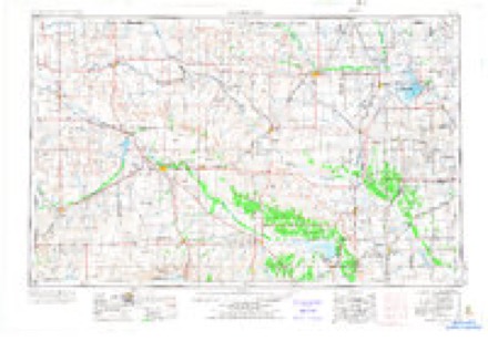
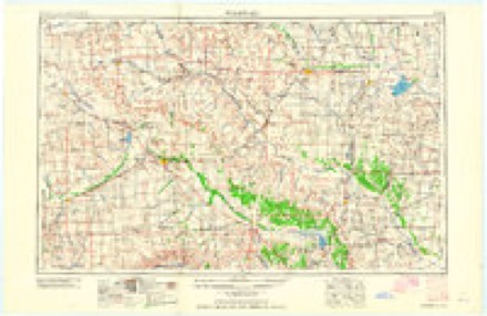
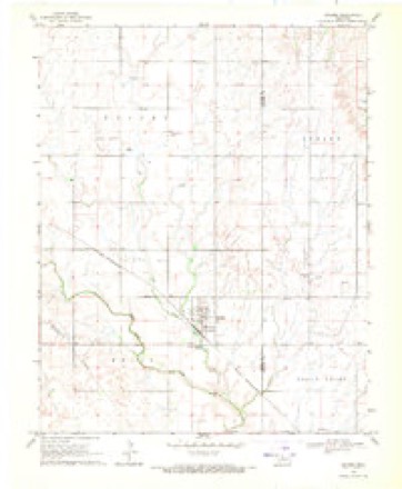
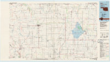
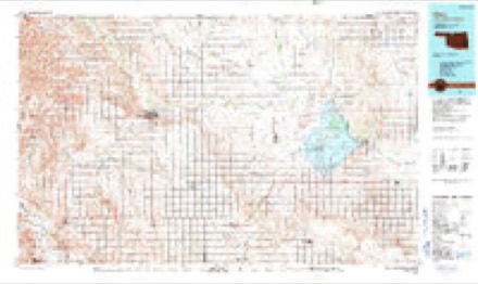
5 surveys from 9 printed sheetsMatched by testing this settlement's coordinate against the published boundary of every sheet in the United States Geological Survey's historical collection. Each opens the scanned sheet at the Survey.
- 1955 USGS Woodward quadrangle1:250000, 3 printings
- 1958 USGS Woodward quadrangle1:250000, 2 printings
- 1969 USGS Dacoma quadrangle1:24000, 2 printings
- 1985 USGS Alva quadrangle1:100000
- 1990 USGS Alva quadrangle1:100000
Mines and quarries near this place
2 within 5 milesRegional context, not property-specific evidence. The federal mineral resources record lists 2 workings within 5 miles of Dacoma: 2 past producers. None of them still produces. What was taken out: Sand and Gravel, Construction. Distance is straight-line from the map coordinates, so a quarry counted here may appear on a neighbouring settlement's page as well.
| Where | Site | Commodity | Status | Recorded |
|---|---|---|---|---|
| Unknown Gravel Pit | Sand and Gravel, Construction | Past Producer | ||
| Unknown Sand and Gravel Pit | Sand and Gravel, Construction | Past Producer |
Storms near this place
17 since 1998Regional context, not property-specific evidence. The National Weather Service names Dacoma in 17 storm reports between 1998 and 2018: 8 hail, 6 thunderstorm wind, 3 tornado. No death or injury is recorded in these reports. Each account below is quoted exactly as the forecast office filed it, from the NOAA Storm Events Database, and each date opens the federal record of that event.
| When | Event | Place named | Harm | What the report says |
|---|---|---|---|---|
| May 2000 | Tornado (F2) | Dacoma | $50,000 | This tornado was confirmed by a damage survey from the National Weather Service and is believed to have formed about 1/4 mile southwest of the intersection of State Highway 45 and NS246 Road in Woods County, or about 7 miles south-southwest of Dacoma, where significant tree damage was evident. Dozens of large, mature trees were stripped of most limbs, and many others were pushed over mostly in a northwestward direction, but not lofted. Then at the intersection of State Highway 45 and NS246 Road the property of the Green Valley Church sustained massive damage, most significant of which occurred to the community center, a 40 foot by 20 foot wooden structure that was completely destroyed. All exterior walls, 4 total, and the 2 interior walls were made of wood and entirely displaced from the foundation with debris located near the west edge of the foundation extending northwestward about 100 feet. On the same lot, just west and north of the community center, 3 to 4 large mature trees were either pushed over to the west and northwest or largely stripped of their limbs. The roof of the parsonage located approximately 50 feet north of the community center and just north of 2 pushed-over trees, also was heavily damaged. A 15 foot section of the gable-style roof was blown off the back side of the house and lofted eastward about 50 feet. Two large mature trees located northeast of the house were pushed over in a north-northwestward direction. Lesser damage on the property occurred to the garage, located immediately northeast of the community center, where several windows were broken and numerous roof shingles were missing. Several large bales of hay also rolled westward approximately 125 feet and were embedded in structure and tree debris. Damage to the Green Valley Community Center 6 miles SSW of Dacoma is the basis for the F2 rating. As the accompanying photo (below listing of tornado at 2225 CST) shows, this building was completely destroyed with most of the debris found to the northwest of the foundation. As the tornado tracked northeastward, a 1 mile long path of tree damage was evident on both sides of EW29 Road. Most trees had numerous limbs blown off or were damaged, while fewer trees were blown over, with the majority of trees north of the road blown over to the north and trees south of the road blown over to the east. Minor structural damage was also observed about 1/4 mile south of EW29 Road. Along NS249 Road an uninhabited house sustained significant damage to the east portion thought to be a garage, which was pushed over to the north. Numerous shingles were missing from the remainder of the house roof. A flag pole on the west side of the lot was bent to the northwest, while dozens of large mature trees north and northeast of the house were heavily damaged, with most of the them missing numerous limbs, while others were pushed over. This tree damage continued northward to EW27 Road. On the southeast side of Dacoma, an old barn was blown over, while another barn of tin construction had part of its roof blown off, with debris scattered northward a short distance. The tornado dissipated 1 mile east-northeast of Dacoma where 3-4 inch diameter tree limbs were downed. |
| October 1998 | Tornado (F1) | Dacoma | $25,000 | no account filed |
| June 2004 | Thunderstorm Wind | Dacoma | $15,000 | A hay barn was blown down. |
| March 2008 | Thunderstorm Wind | Dacoma | $5,000 | A trailer house was blown 10 to 12 feet. A small shed was also blown over. Monetary damages were estimated. |
| May 2000 | Thunderstorm Wind | Dacoma | $5,000 | A large area of straight-line damage accompanied the Woods County tornado along and east of its track for the first 4 miles. Damage consisted mostly of significant and widespread tree damage, at times ½ to 1 mile wide, downed power poles along State Highway 45, and damage to outbuildings. |
| April 2015 | Tornado (EF1) | Dacoma | - | Video of a brief tornado was captured by a KOCO-TV storm chaser and by a local resident. The tornado caused snapped trees and damaged a metal barn at a ranch south of Dacoma. |
| June 2014 | Thunderstorm Wind | Dacoma | - | Trees were downed about 12 miles south-southwest of Dacoma. Reported by KWOX Radio. |
| June 2014 | Thunderstorm Wind | Dacoma | - | Two barns was damaged about 11 miles south of Dacoma along Aline Blacktop Road by thunderstorm winds. Reported by KWOX radio. |
| August 2009 | Hail | Dacoma | - | The hail covered the ground. |
| May 2018 | Hail | Dacoma | - | no account filed |
| June 2005 | Thunderstorm Wind | Dacoma | - | no account filed |
| August 2005 | Hail | Dacoma | - | no account filed |
| April 2004 | Hail | Dacoma | - | no account filed |
| June 2002 | Hail | Dacoma | - | no account filed |
| June 2002 | Hail | Dacoma | - | no account filed |
| June 2001 | Hail | Dacoma | - | no account filed |
| June 1998 | Hail | Dacoma | - | no account filed |
Nearest settlements
The eight closest, with where each one stands in the county. Distances are straight-line, computed from the Geographic Names Information System coordinates.
Elsewhere
Matched on this settlement's Geographic Names Information System number rather than its name, so it cannot be a different place of the same name in another state.
| Wikipedia article on Dacoma | An encyclopaedic summary. Its text is share-alike, so it is linked here rather than copied. |
| Wikidata item Q2378181 | The structured record the population and elevation above come from. Public domain (CC0). |
Provenance
This settlement is recorded in the Geographic Names Information System as feature 1091910. The sheet list is computed by point-in-boundary test against the United States Geological Survey's historical topographic inventory. Both are works of the United States government and carry no copyright under 17 U.S.C. 105.
Mines and quarries. USGS Mineral Resources Data System (MRDS) https://mrdata.usgs.gov/mrds/ A work of the United States government, no copyright under 17 U.S.C. 105.
Storms. NOAA National Centers for Environmental Information, Storm Events Database https://www.ncei.noaa.gov/stormevents/ A work of the United States government, no copyright under 17 U.S.C. 105. Narratives are quoted verbatim from the National Weather Service report and are not edited or summarised.