 Block
Choctaw, Oklahoma
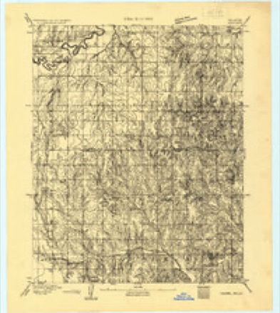
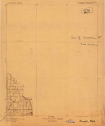
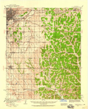
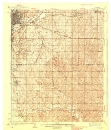
15 topographic sheets cover this place, the earliest surveyed in 1892 and the latest in 1985. It stands in the Oklahoma City Southeast census division. It lies in ZIP code area 73020. The Survey maps it on the Choctaw quadrangle. 12,182 people lived here at the 2020 count. It stands 1,148 feet above sea level.
Topographic sheets covering this place
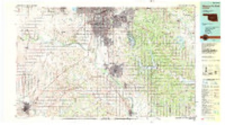
9 surveys from 15 printed sheetsMatched by testing this settlement's coordinate against the published boundary of every sheet in the United States Geological Survey's historical collection. Each opens the scanned sheet at the Survey.
- 1892 USGS Moore quadrangle1:62500
- 1898 USGS Purcell quadrangle1:125000
- 1934 USGS Moore quadrangle1:62500
- 1938 USGS Moore quadrangle1:62500, 2 printings
- 1954 USGS Oklahoma City quadrangle1:250000
- 1956 USGS Choctaw quadrangle1:24000, 3 printings
- 1957 USGS Oklahoma City quadrangle1:250000, 3 printings
- 1963 USGS Oklahoma City quadrangle1:250000
- 1985 USGS Oklahoma City South quadrangle1:100000, 2 printings
Mines and quarries near this place
5 within 5 milesRegional context, not property-specific evidence. The federal mineral resources record lists 5 workings within 5 miles of Choctaw: 3 past producers, 2 producers. 2 still produce. What was taken out: Sand and Gravel, Construction, Clay. Distance is straight-line from the map coordinates, so a quarry counted here may appear on a neighbouring settlement's page as well.
| Where | Site | Commodity | Status | Recorded |
|---|---|---|---|---|
| Haydite Pit & Plant | Clay | Producer | ||
| Shirley Morton Pit | Clay | Producer | ||
| Unknown Sand Pit | Sand and Gravel, Construction | Past Producer | ||
| Unknown Sand Pit | Sand and Gravel, Construction | Past Producer | ||
| Unknown Sand Pit | Sand and Gravel, Construction | Past Producer |
Storms near this place
60 of 84 shownRegional context, not property-specific evidence. The National Weather Service names Choctaw in 84 storm reports between 1994 and 2025: 50 hail, 21 thunderstorm wind, 8 flash flood, 5 tornado. The reports record 11 injuries. Each account below is quoted exactly as the forecast office filed it, from the NOAA Storm Events Database, and each date opens the federal record of that event.
| When | Event | Place named | Harm | What the report says |
|---|---|---|---|---|
| November 2024 | Tornado (EF3) | Choctaw | 7 hurt, $40,000,000 | This tornado developed southeast of Indian Meridian Road and SE 59th Street in southeastern Oklahoma City, and then moved north and north and northeast through the far southeastern section of Choctaw, and the western and northern portions of Harrah. This tornado caused extensive damage to many homes, trees and power lines. ||EF1 damage was initially observed to trees, power lines and a few homes, but the more significant damage began as the tornado approached SE 44th Street. EF2 to EF3 damage was observed near and north of SE 44th Street as the tornado moved through neighborhoods between Indian Meridian Road and Triple XXX Road. Widespread EF2 to EF3 damage was also observed in neighborhoods near SE 15th Street and west of Peebly Road. The tornado continued moving northeast across Harrah and Horseshoe Lake producing EF1-EF2 damage before moving into Lincoln County north of NE 63rd Street. |
| May 1999 | Tornado (F2) | Choctaw | 4 hurt, $3,200,000 | Tornado A12. See summary at end of May 3rd storm reports. |
| April 2013 | Hail | Choctaw | $200,000 | Hail ranged in size from quarter to golf ball size. Numerous homes and vehicles damaged by hail and high winds. Damage estimated. |
| April 2003 | Tornado (F1) | Choctaw | $125,000 | The main damage was to a church on the NW corner of SE 15th Street and Henney Road where part of the west wall was damaged. The tornado also caused roof damage to homes near the intersections of SE 10th Street and Choctaw Road, and Falcon Way and Choctaw Road. A few sheds were also damaged. Trees were damaged along the entire path of the tornado. The tornado path was from near SE 19th Street and Shirley Lane to just east of Indian Meridian Road, about 0.3 N of Reno Avenue. |
| April 2022 | Thunderstorm Wind | Choctaw | $75,000 | A large area of wind damage began just west of NE 63rd Street and Peebly Road, with the damaging wind swath continuing south along and near Peebly Road to near NE 50th Street, then southeast to Luther Road just north of NE 36th Street, then turning east-northeast across the Kickapoo Turnpike to NE 50th Street and Dobbs Road. Winds were generally up to 60-70 mph through much of this region, but localized near 100 mph where a number of power poles were broken along Luther Road north of NE 36th Street.||Embedded within this area of damaging winds, evidence does point to a brief tornado near the beginning of this path. (See separate entry for this tornado). |
| November 2024 | Thunderstorm Wind | Choctaw | $25,000 | Immediately before the development of the Harrah Tornado in southeast Oklahoma City, the rear flank downdraft (RFD) of the storm produced damage along Indian Meridian Road along and north of SE 74th Street. Significant damage occurred to a barn, a home had siding damage and a number of trees were damaged. These winds eventually wrapped up into the developing tornado southeast of SE 59th Street and Indian Meridian. |
| June 2024 | Thunderstorm Wind | Choctaw | $25,000 | Multiple camper trailers blown over. Time is radar estimated. |
| May 2024 | Thunderstorm Wind | Choctaw | $20,000 | Social media video showing 8-10 power poles either snapped or blown down. Time is radar estimated. |
| May 2008 | Tornado (EF0) | Choctaw | $15,000 | Local broadcast media reported a brief touchdown near NE 36th and Henney road. The tornado produced minor damage to an outbuilding, damaging its roof and ripping metal siding off. Tree damage was also reported. Monetary damages were estimated. |
| April 2001 | Thunderstorm Wind | Choctaw | $15,000 | An awning was blown off a gas station at Southeast 29th and Indian Meridian. |
| April 2022 | Thunderstorm Wind | Choctaw | $10,000 | Scattered tree damage was observed southwest of Harrah from just west of Peebly Road on Reno Avenue to northeast of NE 10th Street and Dobbs Road. Although most of the damage showed indications of damaging thunderstorms winds, one area on the northern fringe of the showed signs of a brief tornado from Peebly Road to near the Kickapoo Turnpike (see separate entry for this tornado). |
| June 2013 | Flash Flood | Choctaw | $8,000 | High water rescue was needed near northeast 23rd street and Henney road. No injuries reported. |
| August 2019 | Thunderstorm Wind | Choctaw | $5,000 | Pieces of surface roof material blown off a middle school gymnasium, main roof was still intact. Time estimated. |
| October 2018 | Tornado (EF0) | Choctaw | $5,000 | An outbuilding was damaged as a tornado developed just south of NE 23rd Street and Choctaw Road. The tornado then produced sporadic tree damage as it move northeast to near NE 63rd Street and Peebly Road. |
| June 2004 | Thunderstorm Wind | Choctaw | $5,000 | A fence was downed. Some trees were also downed around town. |
| June 2003 | Thunderstorm Wind | Choctaw | $2,000 | Trees and power lines were downed along North Henney Road. |
| May 2001 | Thunderstorm Wind | Choctaw | $1,500 | Trees and powerlines were damaged. |
| April 2003 | Thunderstorm Wind | Choctaw | $1,000 | A number of large trees were damaged in a neighborhood along NE 12th Street just west of Peebly Road. |
| May 2025 | Hail | Choctaw | - | The report was relayed through mPING. |
| May 2025 | Hail | Choctaw | - | The report was relayed through mPING. |
| October 2025 | Hail | Choctaw | - | Hailfall near the intersection of Southeast 59th Street and Choctaw Road. The report was relayed by emergency management. |
| October 2025 | Hail | Choctaw | - | Multiple sources reported that hail size increased from quarter size to larger than baseball size at the Interstate 40 and Choctaw Road junction during the event time. |
| November 2025 | Hail | Choctaw | - | The report was relayed through mPING. |
| June 2024 | Flash Flood | Choctaw | - | Roadway flooding along Reno Avenue between Choctaw Road and Dobbs Road. Event time is approximate. |
| June 2024 | Thunderstorm Wind | Choctaw | - | Social media image showing a large tree limb blown down. Time is radar estimated. |
| June 2024 | Hail | Choctaw | - | MPing report. |
| April 2023 | Hail | Choctaw | - | MPing report. |
| April 2023 | Hail | Choctaw | - | MPing report. |
| April 2019 | Thunderstorm Wind | Choctaw | - | Tree downed on roadway near NE 36TH and Henney. |
| March 2015 | Thunderstorm Wind | Choctaw | - | No damage was reported. |
| March 2015 | Thunderstorm Wind | Choctaw | - | Large tree blocking both lanes of Choctaw Rd. |
| May 2015 | Flash Flood | Choctaw | - | Flood waters over the road and railroad tracks at 23rd and Harper. |
| July 2014 | Flash Flood | Choctaw | - | Water over both lanes of northeast 23rd street near Choctaw road. No vehicle damage was reported. |
| May 2014 | Thunderstorm Wind | Choctaw | - | Several downed power lines were reported near 1900 Donnell Street in northeast Oklahoma City. |
| June 2013 | Flash Flood | Choctaw | - | Training supercell thunderstorms lead to heavy rainfall and urban flooding in downtown Choctaw. No information related to injuries or property damage were available. |
| May 2013 | Hail | Choctaw | - | The hail was reported at East Reno and South Henney roads. No damage was reported. |
| May 2013 | Hail | Choctaw | - | At Ne 10th and N Henney Rd. |
| May 2013 | Thunderstorm Wind | Choctaw | - | No damage was reported. |
| April 2012 | Thunderstorm Wind | Choctaw | - | Power lines were blown down near the I-240 and I-40 junction. |
| March 2012 | Hail | Choctaw | - | The hail reported near SE 29th Street and South Henney Road. |
| March 2012 | Hail | Choctaw | - | The hail was reported near SE 10th Street and South Henney Road. |
| May 2010 | Hail | Choctaw | - | The hail was reported near SE 10th Street and Choctaw Rd. |
| November 2008 | Hail | Choctaw | - | The hail was reported at the Love's Store. The hail covered the ground. |
| May 2008 | Hail | Choctaw | - | The hail was reported near NE 10th and Choctaw Road. |
| June 2008 | Hail | Choctaw | - | The hail was reported near the intersection of NE 63rd and Choctaw road. |
| July 2007 | Flash Flood | Choctaw | - | South 15th and Hiwassee Road were closed due to high water overflowing on either side of the road. As a result the intersection was closed. The broadcast media relayed a report that 5.10 inches of rain had fallen by 1700 CST in approximately two hours on the southwest side of Choctaw. |
| April 2004 | Hail | Choctaw | - | Hail was observed at 59th Street and Choctaw Road. |
| March 2002 | Hail | Choctaw | - | Hail was reported near the intersection of Reno and Choctaw Road. |
| May 2001 | Hail | Choctaw | - | Hail was reported at NE 43rd and Choctaw Road. |
| June 2001 | Flash Flood | Choctaw | - | Numerous roads were closed between Peebly Road and Luther Road due to high water. |
| April 2000 | Flash Flood | Choctaw | - | Isolated street and field flooding was reported. 4.27 inches of rain was also measured. |
| February 2023 | Hail | Choctaw | - | no account filed |
| February 2023 | Hail | Choctaw | - | no account filed |
| June 2019 | Hail | Choctaw | - | no account filed |
| March 2015 | Hail | Choctaw | - | no account filed |
| May 2013 | Hail | Choctaw | - | no account filed |
| April 2012 | Hail | Choctaw | - | no account filed |
| April 2012 | Hail | Choctaw | - | no account filed |
| April 2012 | Hail | Choctaw | - | no account filed |
| May 2010 | Hail | Choctaw | - | no account filed |
Nearest settlements
The eight closest, with where each one stands in the county. Distances are straight-line, computed from the Geographic Names Information System coordinates.
| Map | Place | Distance | Sheets |
|---|---|---|---|
| Dunjee Park | 2.0 miles | 15 | |
| Nicoma Park | 2.9 miles | 15 | |
| Green Pastures | 3.9 miles | 15 | |
| Woods | 4.3 miles | 15 | |
| Jones | 4.8 miles | 15 | |
| Harrah | 5.6 miles | 14 | |
| Spencer | 6.0 miles | 17 | |
| Midwest City | 7.5 miles | 18 |
Elsewhere
Matched on this settlement's Geographic Names Information System number rather than its name, so it cannot be a different place of the same name in another state.
| Wikipedia article on Choctaw | An encyclopaedic summary. Its text is share-alike, so it is linked here rather than copied. |
| Wikidata item Q3098721 | The structured record the population and elevation above come from. Public domain (CC0). |
Provenance
This settlement is recorded in the Geographic Names Information System as feature 1091323. The sheet list is computed by point-in-boundary test against the United States Geological Survey's historical topographic inventory. Both are works of the United States government and carry no copyright under 17 U.S.C. 105.
Mines and quarries. USGS Mineral Resources Data System (MRDS) https://mrdata.usgs.gov/mrds/ A work of the United States government, no copyright under 17 U.S.C. 105.
Storms. NOAA National Centers for Environmental Information, Storm Events Database https://www.ncei.noaa.gov/stormevents/ A work of the United States government, no copyright under 17 U.S.C. 105. Narratives are quoted verbatim from the National Weather Service report and are not edited or summarised.