BlockBefore

Oklahoma County, Oklahoma

95 topographic sheets and 42 fire insurance atlases across 8 places.

Research this county

From the record

170 National Register listings published here.

Sources: the National Register database, National Park Service

Oklahoma within the United States
Oklahoma County within Oklahoma

What the record shows

  • 8 places in this county were surveyed for fire insurance: Oklahoma City, Edmond, Bethany, Luther, Britton, Harrah, Midwest City, Newalla, between 1894 and 1955.
  • 42 fire insurance atlases survive for the county. Topographic coverage is national; fire insurance survey reached only incorporated places with something worth insuring.
  • 576 topographic sheet readings cover the county's settlements.
  • 170 properties here are on the National Register of Historic Places: 129 buildings, 33 districts, 4 sites and 4 structures.
  • 30 of the 170 listings were added during the 1970s.
  • The Geographic Names Information System records 36 populated places in this county; 36 are covered by at least one topographic sheet.

Photographs

43 photographs, 1935 to 1942

Taken for the Office of War Information and the Farm Security Administration, who photographed the country between 1935 and 1944. Works of United States government photographers, with no known restriction on use. Each opens its catalogue record.
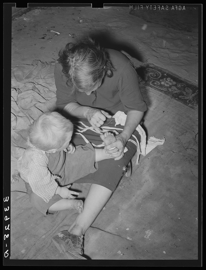
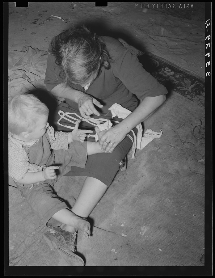
Mother of child pointing to his cut toe, injured while playing in trash and debris of camp. Mays Avenue camp, Oklahoma City, Oklahoma
Lee, Russell, 1939. Library of Congress
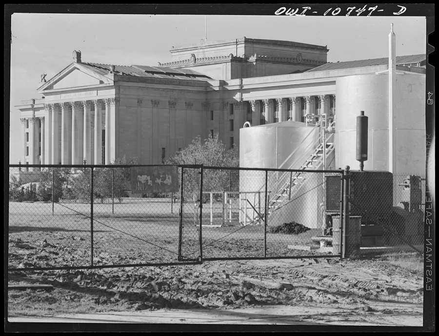
Oklahoma City, Oklahoma. State capitol
Vachon, John, 1942. Library of Congress
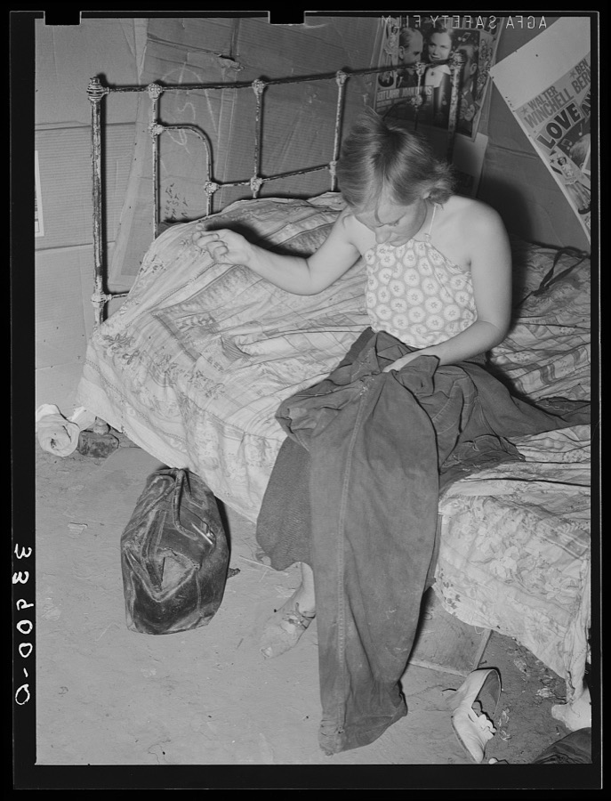
Young married girl living in Mays Avenue camp patching her husband's overalls. Oklahoma City, Oklahoma
Lee, Russell, 1939. Library of Congress
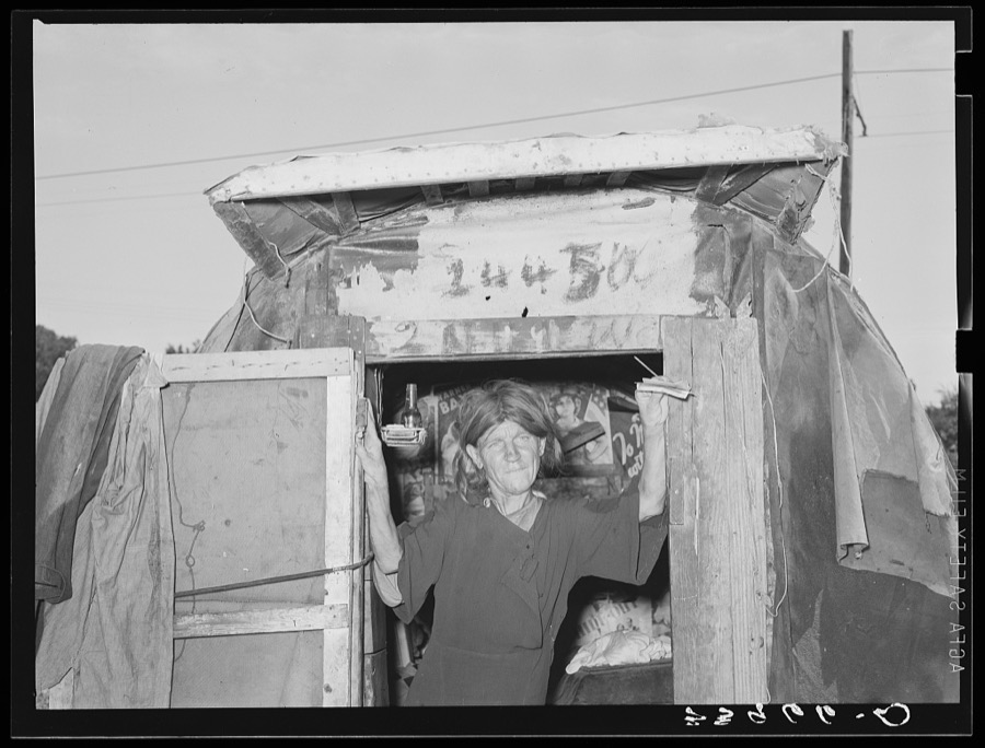
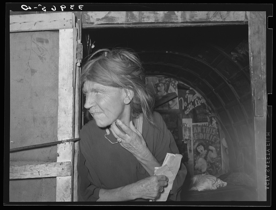
Woman living in camp near Mays Avenue. Oklahoma City, Oklahoma. See 33965 and general caption no. 21
Lee, Russell, 1939. Library of Congress
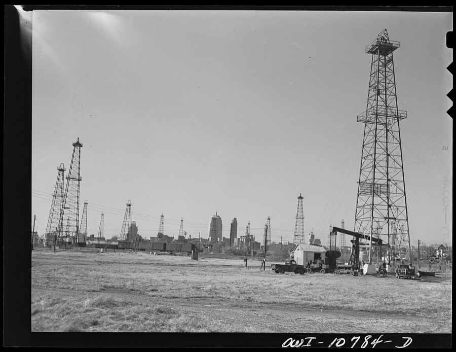
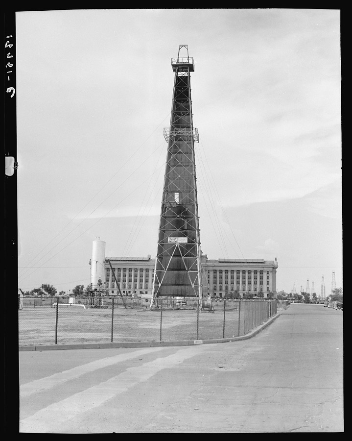
Oklahoma City, Oklahoma. Oil field discovered about 1930. All the wells are now on the pump
Vachon, John, 1942. Library of Congress
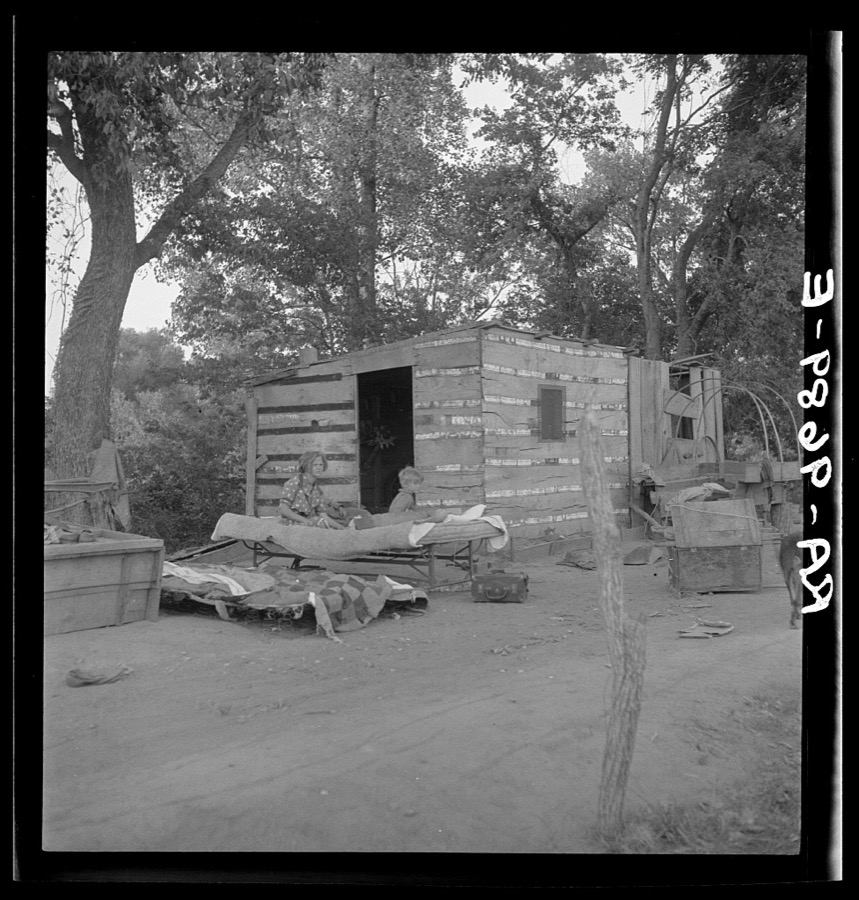
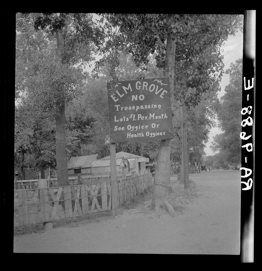
People living in miserable poverty. Elm Grove, Oklahoma County, Oklahoma
Lange, Dorothea, photographer, 1936. Library of Congress
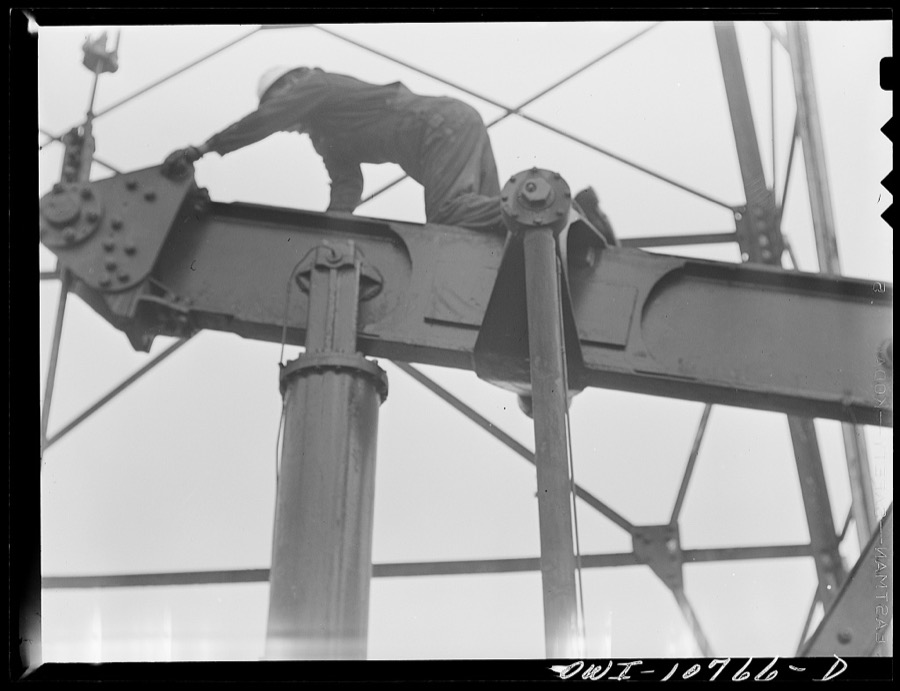
Oklahoma City, Oklahoma. Repairing a pump on an oil well
Vachon, John, 1942. Library of Congress
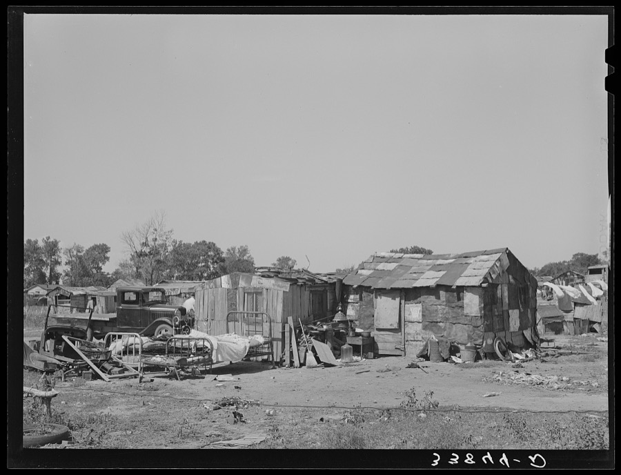
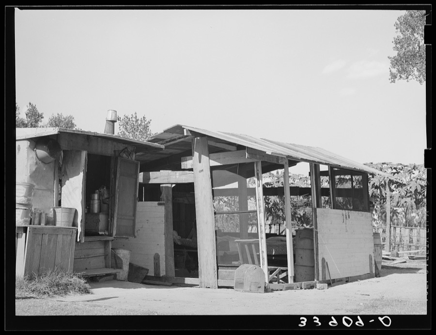
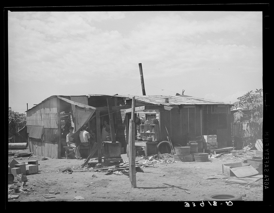
Shack home of family living in community camp. Oklahoma City, Oklahoma. Refer to general caption no. 21
Lee, Russell, 1939. Library of Congress
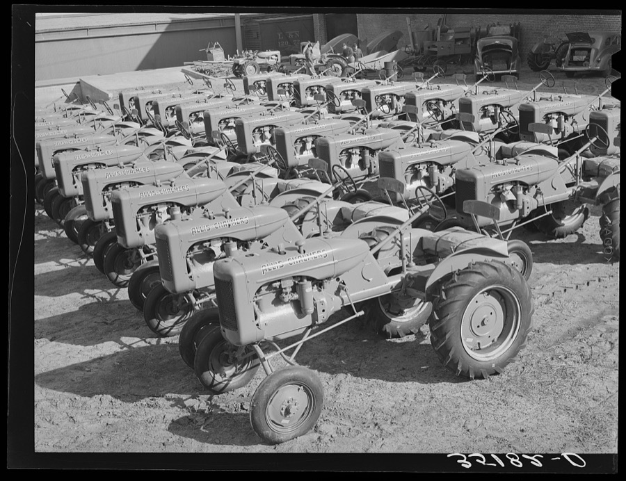
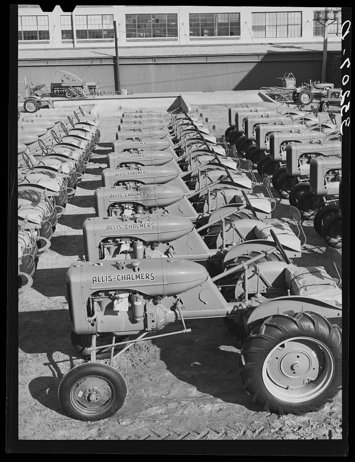
Tractors. Farm equipment warehouse, Oklahoma City, Oklahoma
Lee, Russell, 1940. Library of Congress
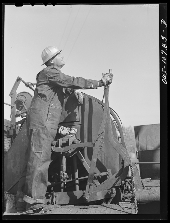
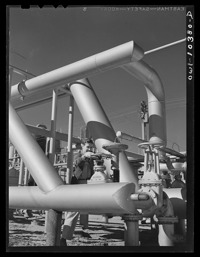
Operating valve which controls the fractionating tower at a gasoline plant
Vachon, John, 1942. Library of Congress
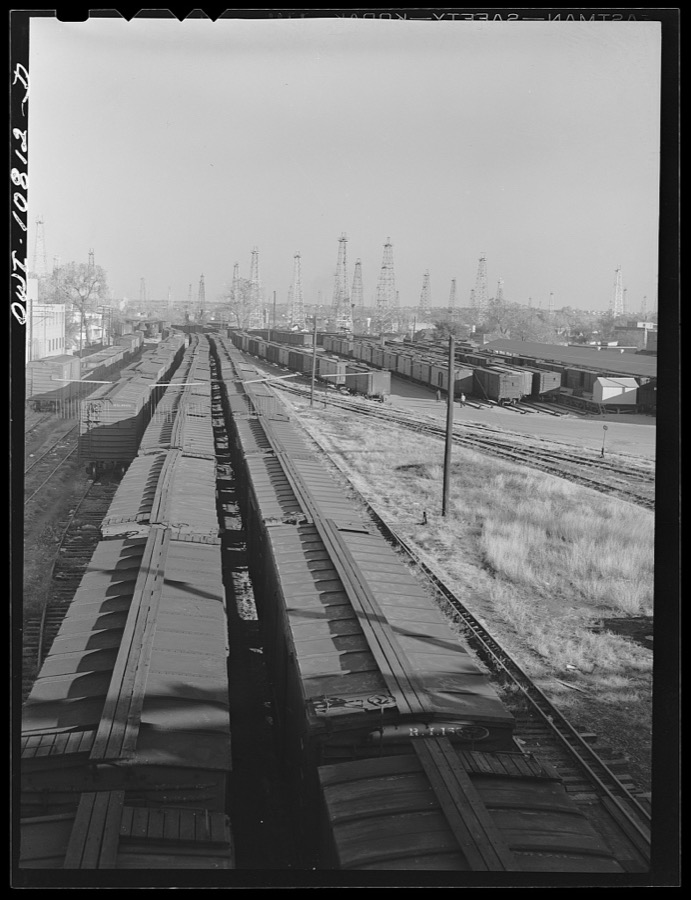
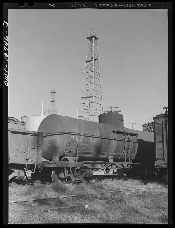
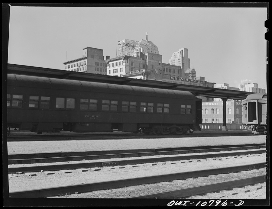
Oklahoma City, Oklahoma. Railroad yards and oil field
Vachon, John, 1942. Library of Congress
[Untitled
[Untitled
Photographer not recorded, 1935. Library of Congress
Shack at community camp. Oklahoma City, Oklahoma. See general caption no. 21
Lee, Russell, 1939. Library of Congress
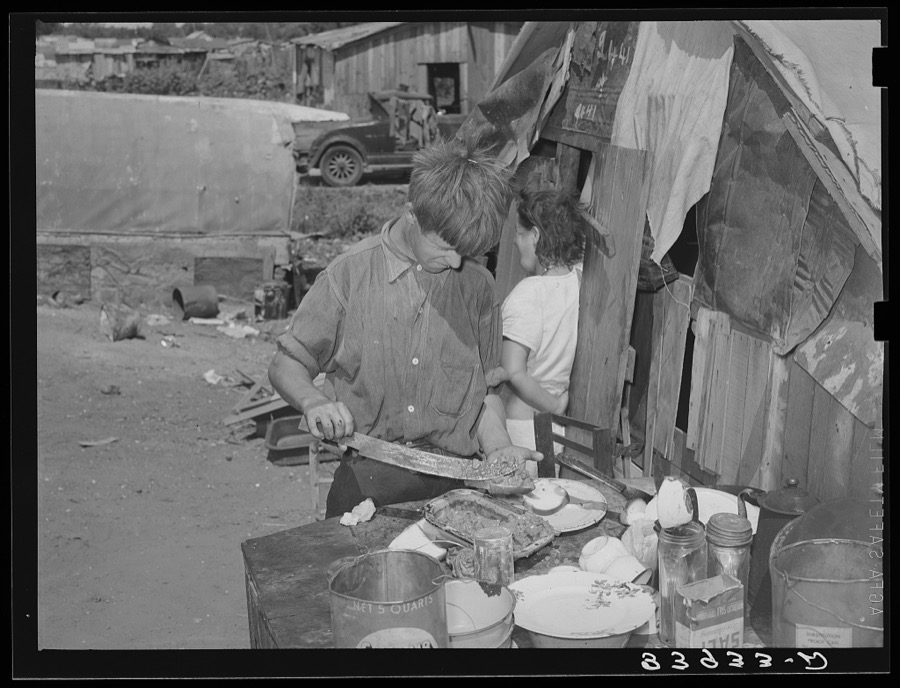
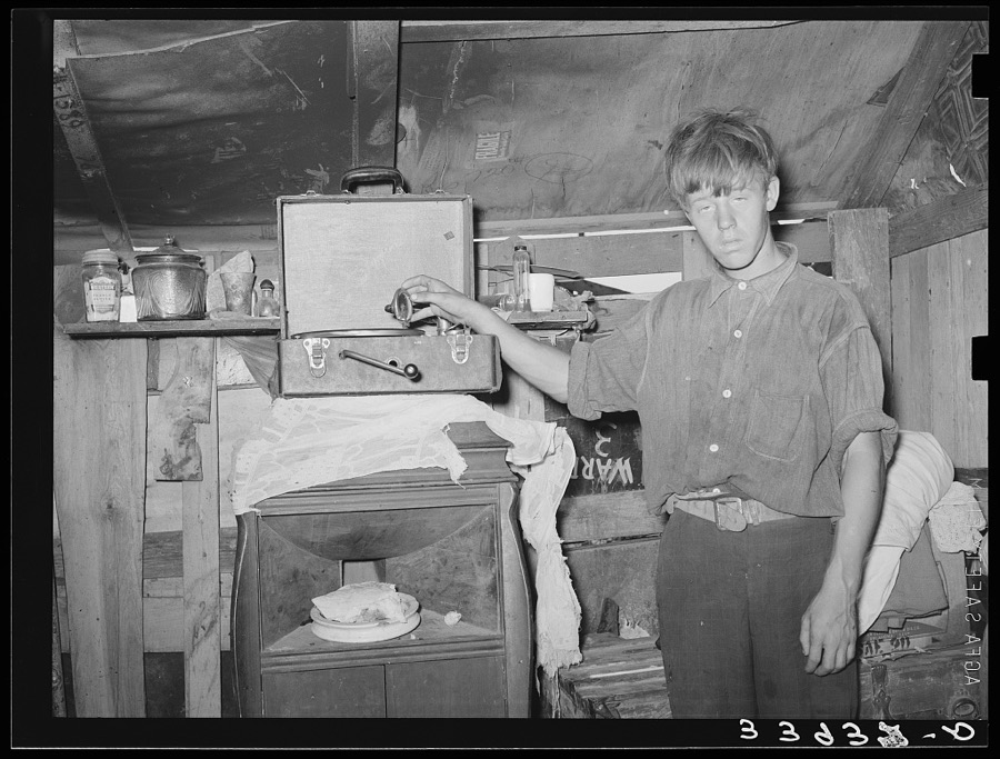
Boy living in camp near Mays Avenue making sandwich. This food is distributed by Saint Anthony's hospital after patients have been fed. This is the only foodline left in Oklahoma City, Oklahoma
Lee, Russell, 1939. Library of Congress
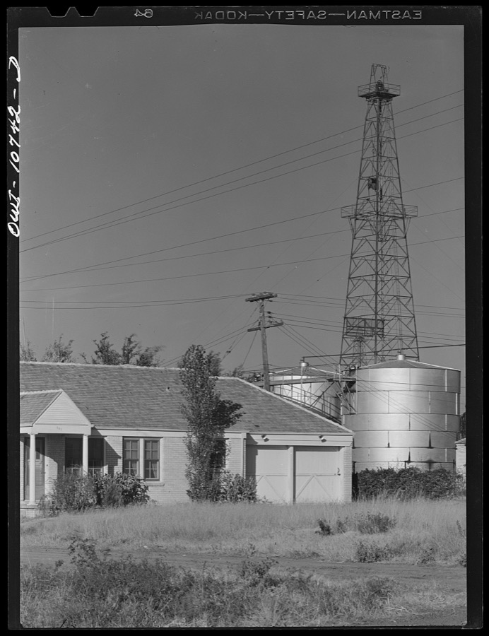
Oklahoma City, Oklahoma. Oil wells adjoining railroad yards
Vachon, John, 1942. Library of Congress
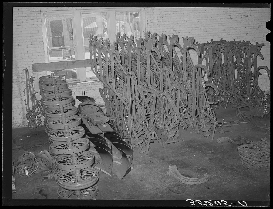
Farm equipment parts. Warehouse in Oklahoma City, Oklahoma
Lee, Russell, 1940. Library of Congress
Oklahoma City, Oklahoma. Oil field
Vachon, John, 1942. Library of Congress
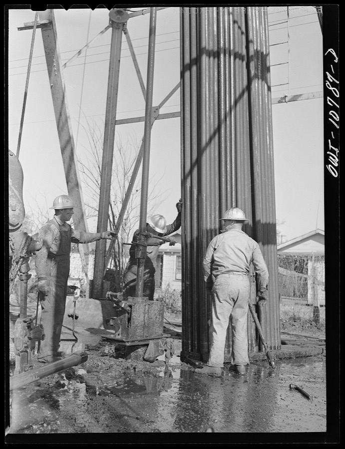
Oklahoma City, Oklahoma. Tubing and rods removed from an oil well for repairing
Vachon, John, 1942. Library of Congress
Oklahoma City, Oklahoma. Cable operated from the back off a truck for pulling rods and tubing in cleaning out oil wells
Vachon, John, 1942. Library of Congress
Mother bandaging toe of her son which was cut in debris of Mays Avenue camp. Oklahoma City, Oklahoma
Lee, Russell, 1939. Library of Congress
Son of resident of camp near May's Avenue. Oklahoma City, Oklahoma. See general caption no. 21
Lee, Russell, 1939. Library of Congress
On the outskirts of a modern Oklahoma City within sight of its gleaming skyscrapers. The rent, one dollar, is collected by the city and the health officer is in charge, although there is no sanitation
Lange, Dorothea, photographer, 1936. Library of Congress
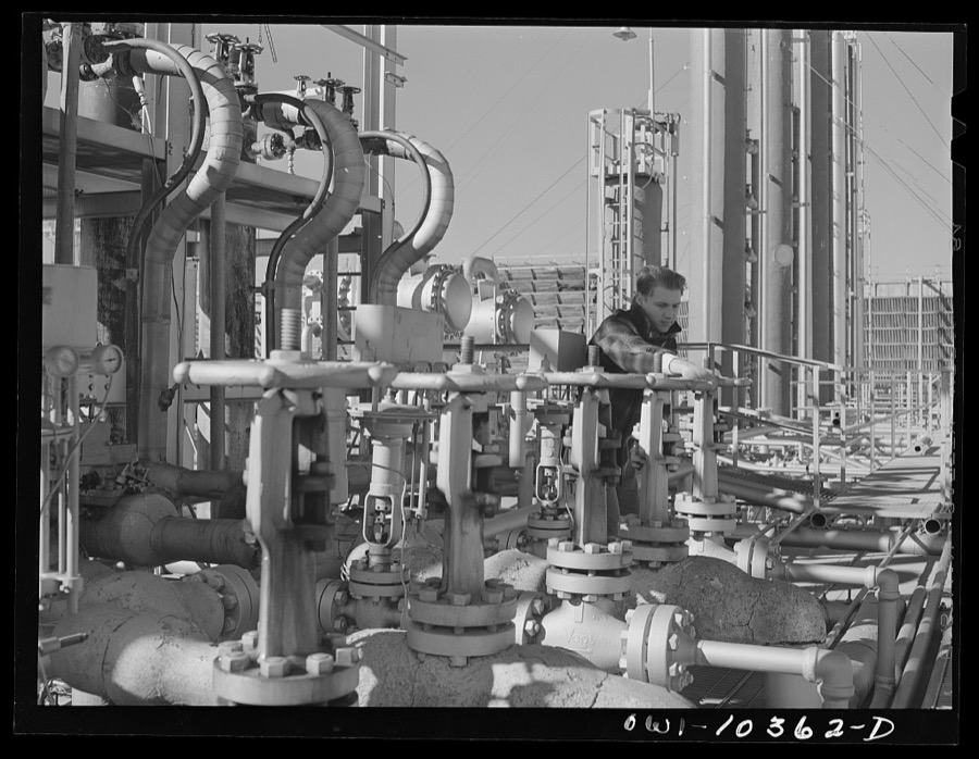
Worker operating the valve which controls incoming gas at a gasoline plant
Vachon, John, 1942. Library of Congress
Tractors. Farm equipment warehouse, Oklahoma City, Oklahoma
Lee, Russell, 1940. Library of Congress
Woman living in camp near Mays Avenue. Oklahoma City, Oklahoma. Her husband has been denied work relief. He is a world war veteran
Lee, Russell, 1939. Library of Congress
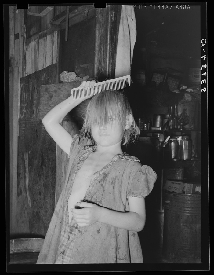
Little girl combing hair. She lives in camp near Mays Avenue. Oklahoma City, Oklahoma. See general caption no. 21
Lee, Russell, 1939. Library of Congress
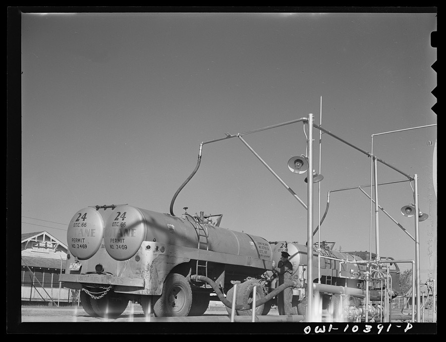
Loading trucks with butane gas
Vachon, John, 1942. Library of Congress
Residents of camp near Mays Avenue. Oklahoma City, Oklahoma. See general caption no. 21
Lee, Russell, 1939. Library of Congress
Looking down Lincoln Boulevard toward the state capital. Oklahoma City, Oklahoma
Lange, Dorothea, photographer, 1938. Library of Congress
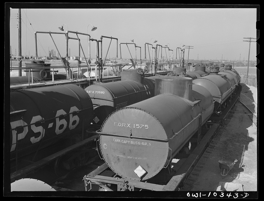
Tank cars at a gasoline plant loading rack
Vachon, John, 1942. Library of Congress
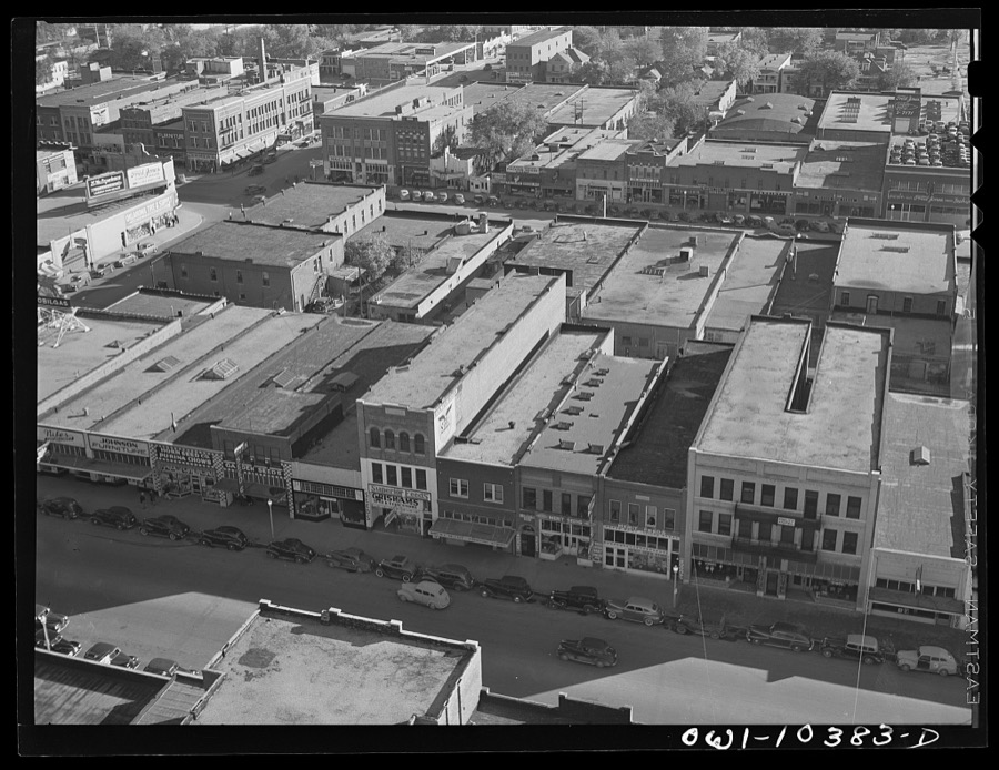
Oklahoma City, Oklahoma
Vachon, John, 1942. Library of Congress
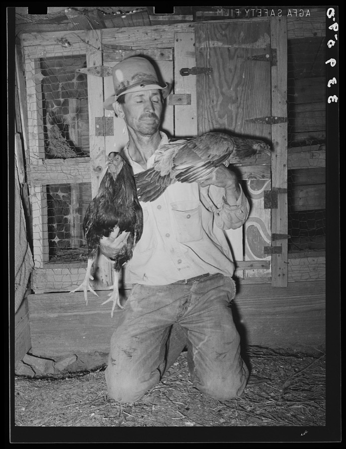
Resident of community camp with his fighting cocks, his hobby. Oklahoma City, Oklahoma. See caption no. 21
Lee, Russell, 1939. Library of Congress
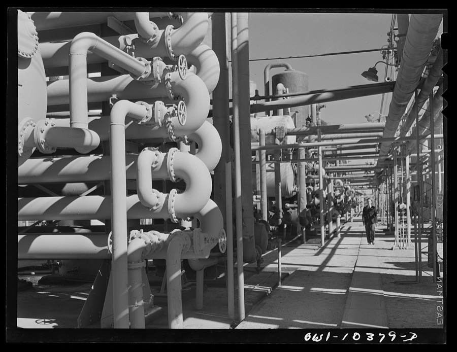
Distillation units and absorbers at a gasoline plant
Vachon, John, 1942. Library of Congress
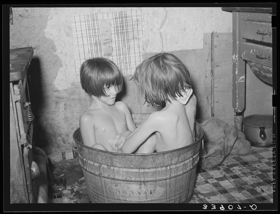
Children taking bath in their home in community camp. Oklahoma City, Oklahoma. See general caption 21
Lee, Russell, 1939. Library of Congress
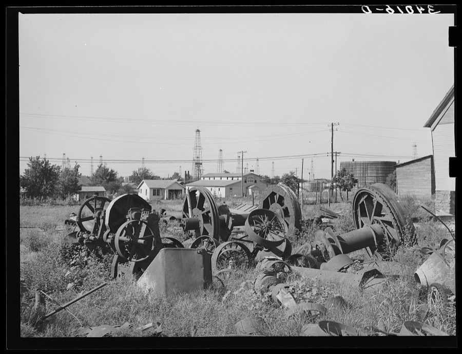
Oil field salvage lot. Oklahoma City, Oklahoma
Lee, Russell, 1939. Library of Congress
Oklahoma City, Oklahoma. Oil field discovered about 1930. All wells are now on the pump
Vachon, John, 1942. Library of Congress
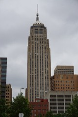
Oklahoma City, Oklahoma. Skyline
Vachon, John, 1942. Library of Congress
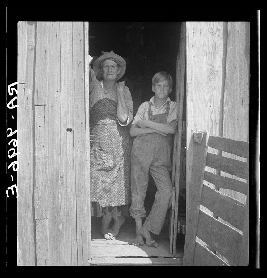
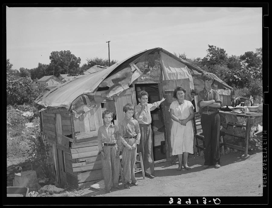
Family in front of shack home near Mays Avenue camp. Oklahoma City, Oklahoma. He had farmed near Norman, Oklahoma, until a year previously. See general caption no. 21
Lee, Russell, 1939. Library of Congress
Storage tanks at a gasoline plant
Vachon, John, 1942. Library of Congress
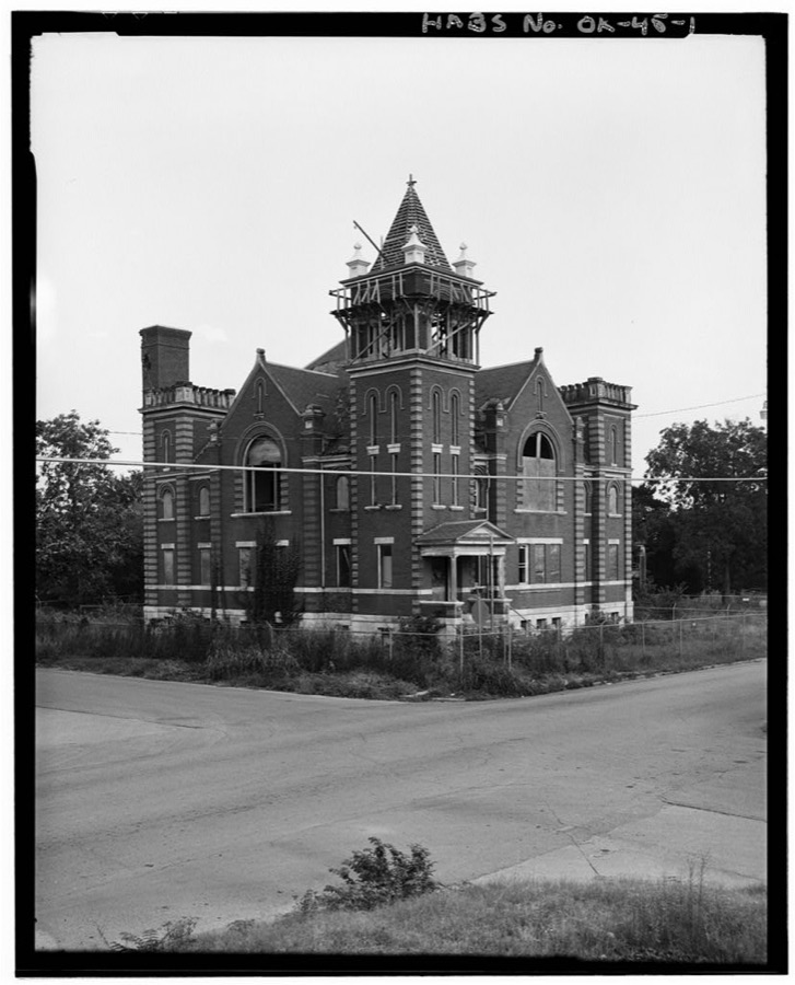
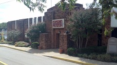
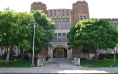
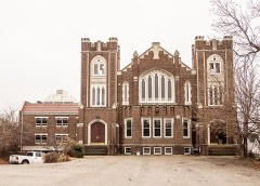
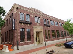
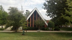
Maywood Presbyterian Church, 400 Northeast Ninth Street, Oklahoma City, Oklahoma County, OK
Photographer not recorded. Library of Congress
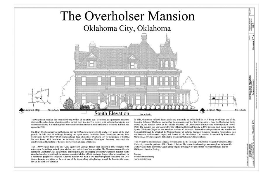
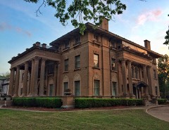
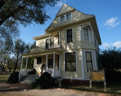
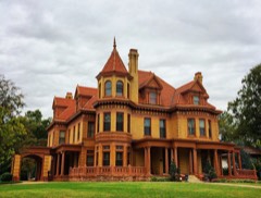
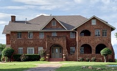
Henry Overholser Mansion, 405 15th Street, Northwest, Oklahoma City, Oklahoma County, OK
Photographer not recorded. Library of Congress
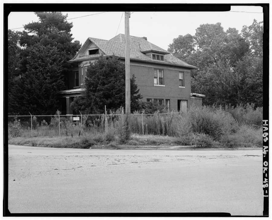
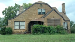
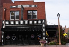
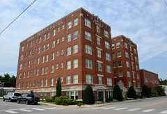
Fulton House, 14 Stiles Circle, Oklahoma City, Oklahoma County, OK
Photographer not recorded. Library of Congress
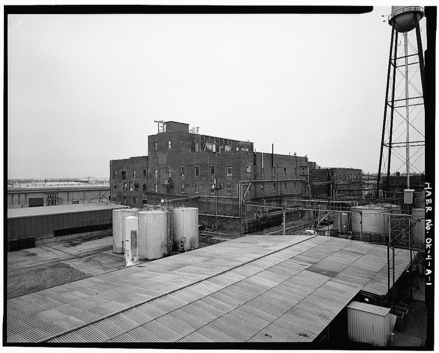
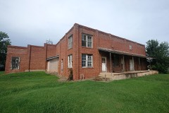
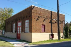
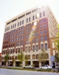
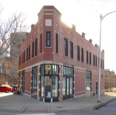
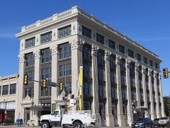
Wilson's Oil House, Lard Refinery, & Edible Fats Factory, Lard Refinery, 2801 Southwest Fifteenth Street, Oklahoma City, Oklahoma County, OK
Photographer not recorded. Library of Congress

Places on the National Register

170

Every property in this county listed on the National Register of Historic Places, with the year it was listed and the federal nomination document.

Photograph PropertyType ListedReference
"Ringing the Wild Horse" Sitesite197171001081
1210-1212-1214 North Hudson Historic Districtdistrict2018100002218
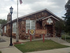
American Legion Hutbuilding199393001336
Arcadia Round Barnbuilding197777001094
Arcadia Route 66 Roadbedstructure199999001424
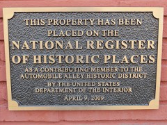
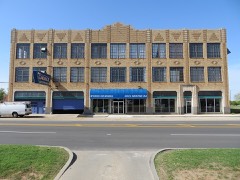
Automobile Alley Historic Districtdistrict202199000351
Avery Buildingbuilding198383002097
Baptist Buildingbuilding2025100012199
Bourne Dairybuilding197979003642
William L. Bradford Buildingbuilding2022100007545
Braniff Buildingbuilding198080003281
Brockway Community Centerbuilding2021100005862
Frank and Merle Buttram House and Groundsbuilding199090001367
Cain's Coffee Buildingbuilding198282004854
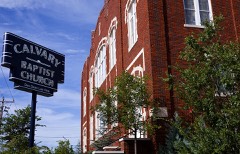
Calvary Baptist Churchbuilding197878002244
Capitol Hill Commercial Historic Districtdistrict2019100004178
Capitol Hill General Hospitalbuilding2020100005082
Capitol-Lincoln Terrace Historic Districtdistrict197676001569
Carey Place Historic Districtdistrict199898001224
Cartmill Farm Housebuilding200606000795
Carverdale Historic Districtdistrict2025100011887
J. I. Case Plow Works Buildingbuilding198383002098
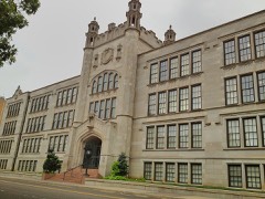
Central High Schoolbuilding197676001570
Citizens Bank Towerbuilding201009000978
Citizens State Bankbuilding198080003279
Citizens State Bankbuilding200303000875
Clyde's Supermarket and T.G.&Y.building2024100010404
Colcord Buildingbuilding197676001571
Cotton-Exchange Buildingbuilding198080003282
Crown Heights Historic Districtdistrict199595001467
Czech Hall of Oklahoma City-Lodge Laskabuilding201515000328
Douglass High School, Old,building200707000259
Dunbar Elementary Schoolbuilding2018100002217
Edgemere Park Historic Districtdistrict198080003283
Edmond Armorybuilding199191000275
Edmond Ice Companybuilding201616000371
Edwards Heights Historic Districtdistrict200505001003
Edwards Historic Districtdistrict199696001028
Walter J. and Frances W. Edwards Housebuilding199494001084
Electric Transformer Housebuilding201616000372
Elks Lodge Buildingbuilding198080003284
Elks Victory Lodge-Ruby's Grill Buildingbuilding199695001498
Engels' Dry Goods Storebuilding198080003280
Fairchild Winerybuilding197575001570
Fairview Community Centerbuilding201515000873
Farmers Public Marketbuilding198282001497
Federal Building and United States Court Housebuilding2021100006876
Fidelity National Buildingbuilding200808000151
Film Exchange Historic Districtdistrict200707000908
First Christian Churchbuilding198484003383
First Christian Church Historic Districtdistrict201111000081
First Church of Christ, Scientistbuilding200101000949
First National Bank and Trust Company Buildingbuilding2018100002220
First Unitarian Church of Oklahoma Citybuilding2022100007543
Gatewood East Historic Districtdistrict200404000126
Gatewood West Historic Districtdistrict200404000125
Goodholm Housebuilding198383002099
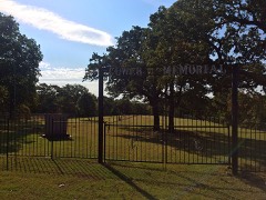
Gower Cemeterysite199191001895
W. T. Hales Housebuilding197878002245
Harbour-Longmire Buildingbuilding198080003285
Harding Junior High Schoolbuilding200202000172
Harmony Schoolbuilding2019100004742
Harn Housebuilding197373001566
Haywood Buildingbuilding199695001499
Dr. William L. and Susie Price Haywood Estatebuilding2024100011141
Heierding Buildingbuilding198282003692
Heritage Hills East Historic Districtdistrict2020100005558
Heritage Hills Historic and Architectural Districtdistrict197979002006
Hightower Buildingbuilding200202000176
Hopewell Baptist Churchbuilding200202001018
India Temple Shrine Buildingbuilding198080003286
Iroquois Apartmentsbuilding2019100004741
Jefferson Park Historic Districtdistrict199595001466
Jewel Theaterbuilding200909000686
Charles G. Jones Farmsteaddistrict200101000658
Jurhee Apartmentsbuilding2021100006905
Kaiser's Ice Cream Parlourbuilding197878002246
Kelley Clubbuilding201414000594
Kingman-More Buildingbuilding198383002100
Kivlehen Housebuilding200808001150
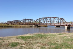
Lake Overholser Bridgestructure200404000133
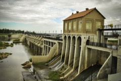
Lake Overholser Damstructure200707000518
Lincoln Park Bathhousebuilding201616000620
Lincoln Plaza Historic Districtdistrict201616000086
Lincoln Terrace East Historic Districtdistrict200404000124
Littlepage Buildingbuilding199695001500
Melvin F. Luster Housebuilding198383002101
Sidney and Mary Lyons House and Commercial Historic Districtdistrict2021100006628
Mager Mortgage Company Buildingbuilding201313000392
Magnolia Petroleum Buildingbuilding197979002007
Main Public Librarybuilding201010001009
Maney Historic Districtdistrict197979002008
Mayfair, Thebuilding201212000786
McClean Housebuilding2020100005863
Medical Arts Buildingbuilding201616000849
Merchants Transfer and Storagebuilding199983004655
Mesta Parkbuilding198383002102
Mid-Continent Life Buildingbuilding197979002009
Mideke Supply Buildingbuilding198383002103
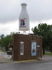
Milk Bottle Grocerybuilding199898000199
Miller's Boulevard Historic Districtdistrict201414001029
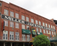
Miller-Jackson Buildingbuilding198383002104
Municipal Auditoriumbuilding201616000850
Mutual Savings and Loan Association Buildingbuilding201616000621
National Foundation (Life) Centerdistrict2025100012476
Norton-Johnson Buick Companybuilding199898000668
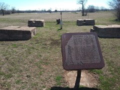
Oklahoma City Discovery Wellsite197777001095
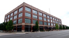
Oklahoma City Ford Motor Company Assembly Plantbuilding201414000595
Oklahoma City Municipal Buildingbuilding200707000521
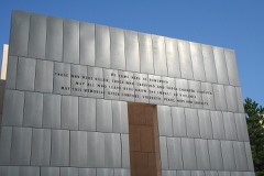
Oklahoma City National Memorialsite199701000278
Oklahoma City Schools Administration Buildingbuilding2019100004400
Oklahoma City Universitydistrict197878002247
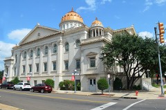
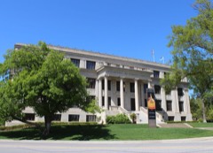
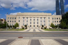
Oklahoma County Courthousebuilding199292000126
Oklahoma County Home for Girlsbuilding197878002248
Oklahoma Gas and Electric Company Buildingbuilding198080003288
Oklahoma Hardware Buildingbuilding198383002105
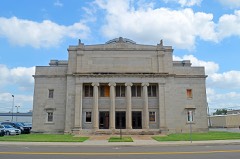
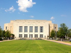
Oklahoma Historical Society Buildingbuilding199090000124
Oklahoma National Guard Armorybuilding2019100004739
Oklahoma Publishing Company Buildingbuilding197878002249
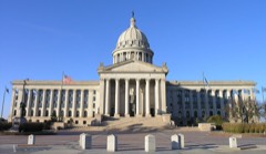
Oklahoma State Capitolbuilding197676001572
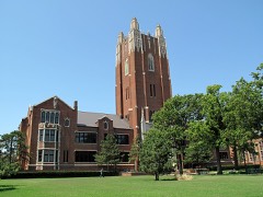
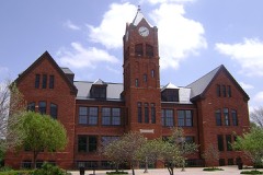
Old North Tower, Central State Collegebuilding197171000671
Osler Buildingbuilding201212000347
Overholser Housebuilding197070000536
Pachyderm Building for the Lincoln Park Zoobuilding2021100006906
Paseo Neighborhood Historic Districtdistrict200404000517
Pilgrim Congregational Churchbuilding198484003389
Pioneer Buildingbuilding198080003289
Pioneer Telephone Company Warehouse and Garagedistrict2018100002545
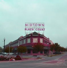
Plaza Courtbuilding198080003290
Donald Pollock Housebuilding200101001356
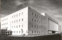
Post Office, Courthouse, and Federal Office Buildingbuilding197474001665
Putnam Heights Historic Preservation Districtdistrict198282003693
Edward Richardson Buildingbuilding2017100001870
Rock Housebuilding2025100011142
Rock Island Plow Buildingbuilding198383002106
Santa Fe Depotbuilding201515000874
Shepherd Historic Districtdistrict199797000612
Sherman Machine and Iron Works Buildingbuilding198383002107
Sieber Grocery and Apartment Hotelbuilding200505001001
John Sinopoulo Housebuilding197878002251
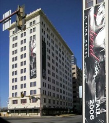
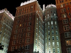
Skirvin Hotelbuilding197979002010
Dr. W.H. Slaughter Housebuilding2018100003237
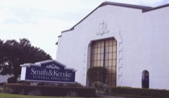
Smith and Kernke Funeral Directorsbuilding199999000671
Spanish Village Historic Districtdistrict198383002108
St. Ann's Home for the Agedbuilding2022100008453
St. Joseph's Cathedralbuilding197878002253
St. Paul's Cathedralbuilding197777001096
Stanford Furniture Co. Buildingbuilding198383002109
State Highway Department Testing Laboratorybuilding2019100004740
Stockyards City Historic Districtdistrict197979003643
Stonegate Elementary Schoolbuilding2019100004179
Sunshine Cleanersbuilding201616000374
Taft Junior High Schoolbuilding200707000515
The "Y" Chapel of Songbuilding200101000657
Threatt Filling Stationbuilding199595000038
Tiffany Housebuilding201616000375
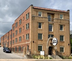
Town House Hotelbuilding201414001031
Tradesman's National Bank Buildingbuilding198080003292
Trinity United Presbyterian Churchbuilding2019100004401
Tuton's Drugstorebuilding198080003278
Union Depotbuilding197878002254
United Founders Life Towerbuilding201313000076
Villa Teresa Historic Districtdistrict2020100005559
Walcourt Buildingbuilding198282003694
Weather Service Buildingbuilding197878002255
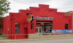
Wells Fargo and Company Livery Stablebuilding198282003695
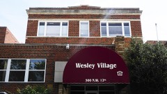
Wesley Hospitalbuilding201313000706
Whittier Schoolbuilding2021100006629
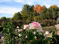
Will Rodgers Park Gardens and Arboretumdistrict200505001000

Bird's-eye views and land ownership maps

1

Drawn when these were printed as single large sheets: the town seen from the air, and the county divided into its farms with every owner named. Each opens the original at the Library of Congress.

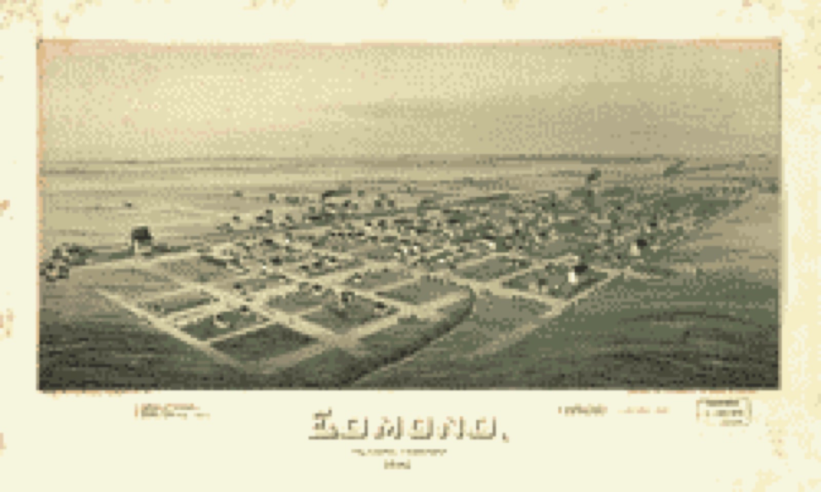
Bird's-eye view, 1891 - Edmond, Oklahoma Territory, 1891
Bird's-eye view (1891) - Edmond, Oklahoma Territory, 1891. Library of Congress.

Photographs from libraries nationwide

14 of 34 shown

Selected from the Digital Public Library of America's 34 image records catalogued for this county. Every one shown here carries a public-domain status or a licence that permits reuse on a site that carries advertising; non-commercial, share-alike and restricted images are excluded. The selection is spread across the county's towns (at most eight per town), so no single institution's bulk upload crowds out the rest. Each opens the holding library's record, and the complete set at the Digital Public Library of America is one click away.

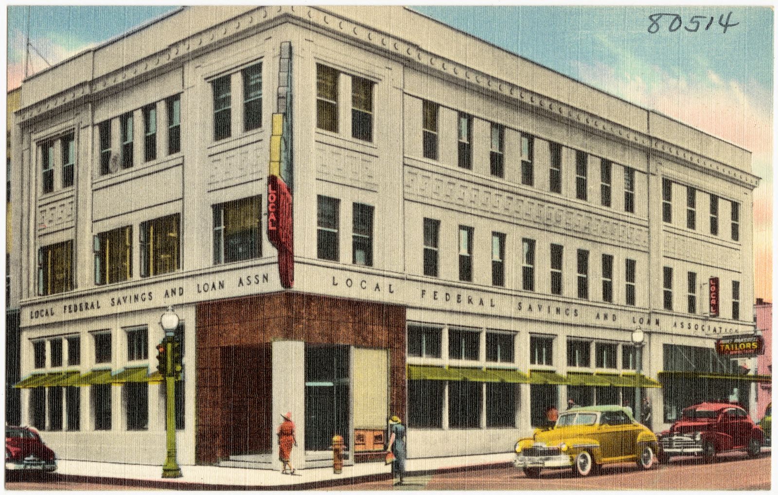
Local Federal Savings & Loan Association, Oklahoma City, Oklahoma, Boston Public Library - undated
Local Federal Savings & Loan Association, Oklahoma City, Oklahoma. Boston Public Library, via the Digital Public Library of America.
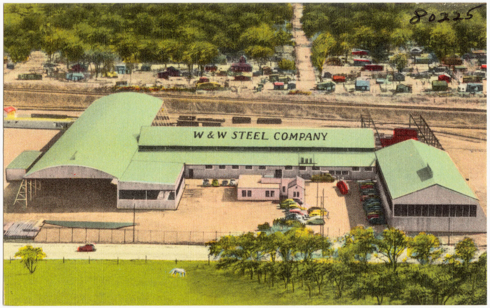
W & W Steel Company, Boston Public Library - undated
W & W Steel Company. Boston Public Library, via the Digital Public Library of America.
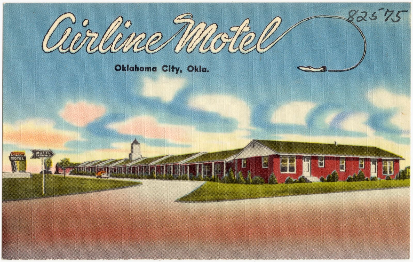
Airline Motel, Oklahoma City, Okla., Boston Public Library - undated
Airline Motel, Oklahoma City, Okla.. Boston Public Library, via the Digital Public Library of America.
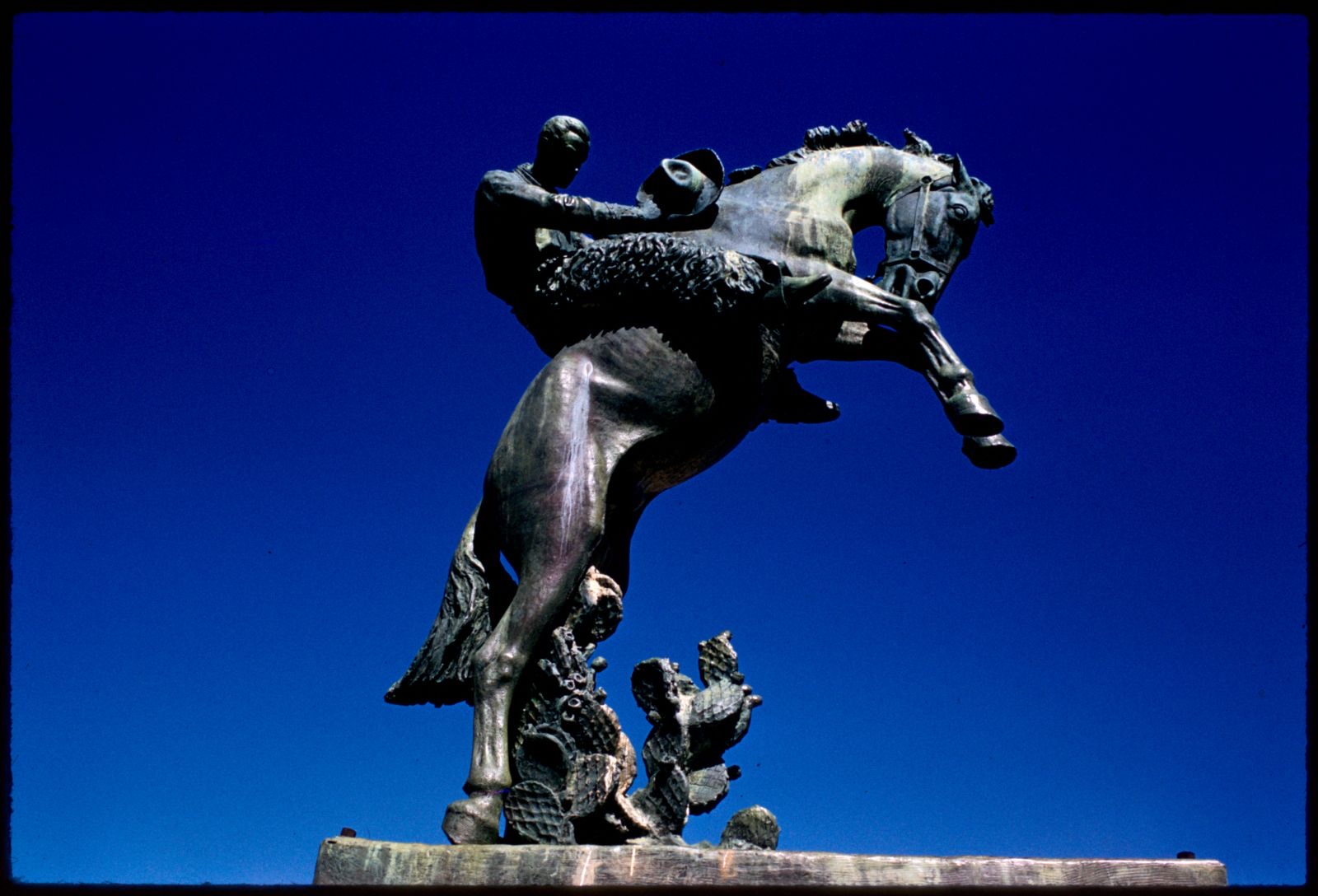
Tribute to Range Riders statue by Constance Whitney Warren, Oklahoma State Capitol, Oklahoma City, Boston Public Library - undated
Tribute to Range Riders statue by Constance Whitney Warren, Oklahoma State Capitol, Oklahoma City. Mitchell, Edmund L., 1905-1981, Boston Public Library, via the Digital Public Library of America.
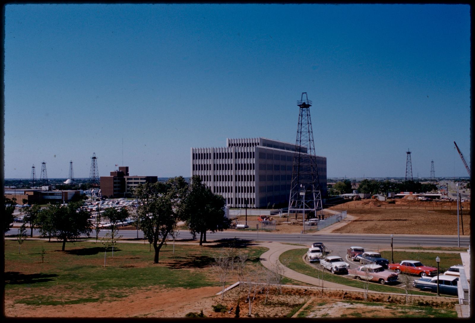
View from Oklahoma State Capitol, Boston Public Library - undated
View from Oklahoma State Capitol. Mitchell, Edmund L., 1905-1981, Boston Public Library, via the Digital Public Library of America.
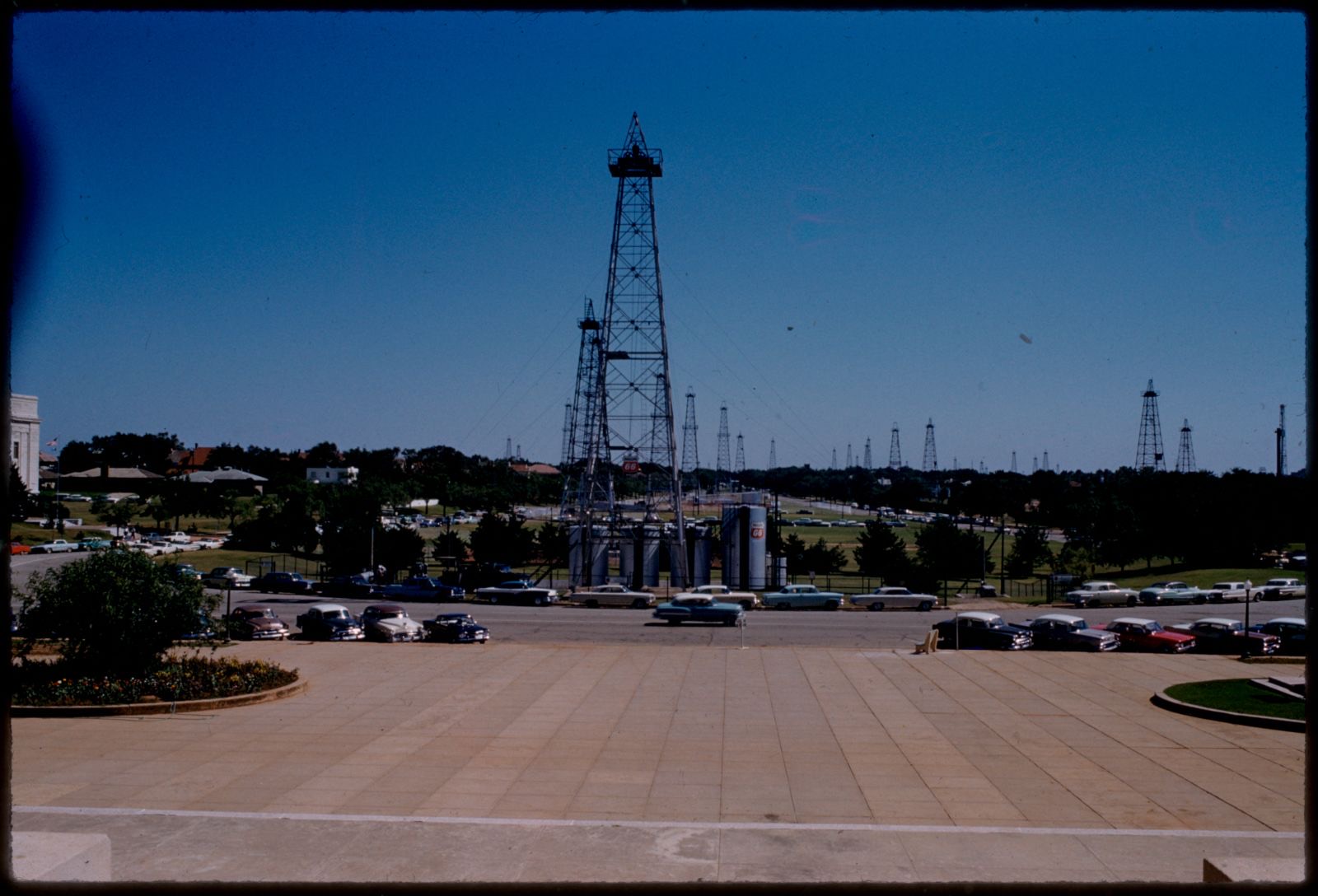
View from Oklahoma State Capitol, Boston Public Library - undated
View from Oklahoma State Capitol. Mitchell, Edmund L., 1905-1981, Boston Public Library, via the Digital Public Library of America.
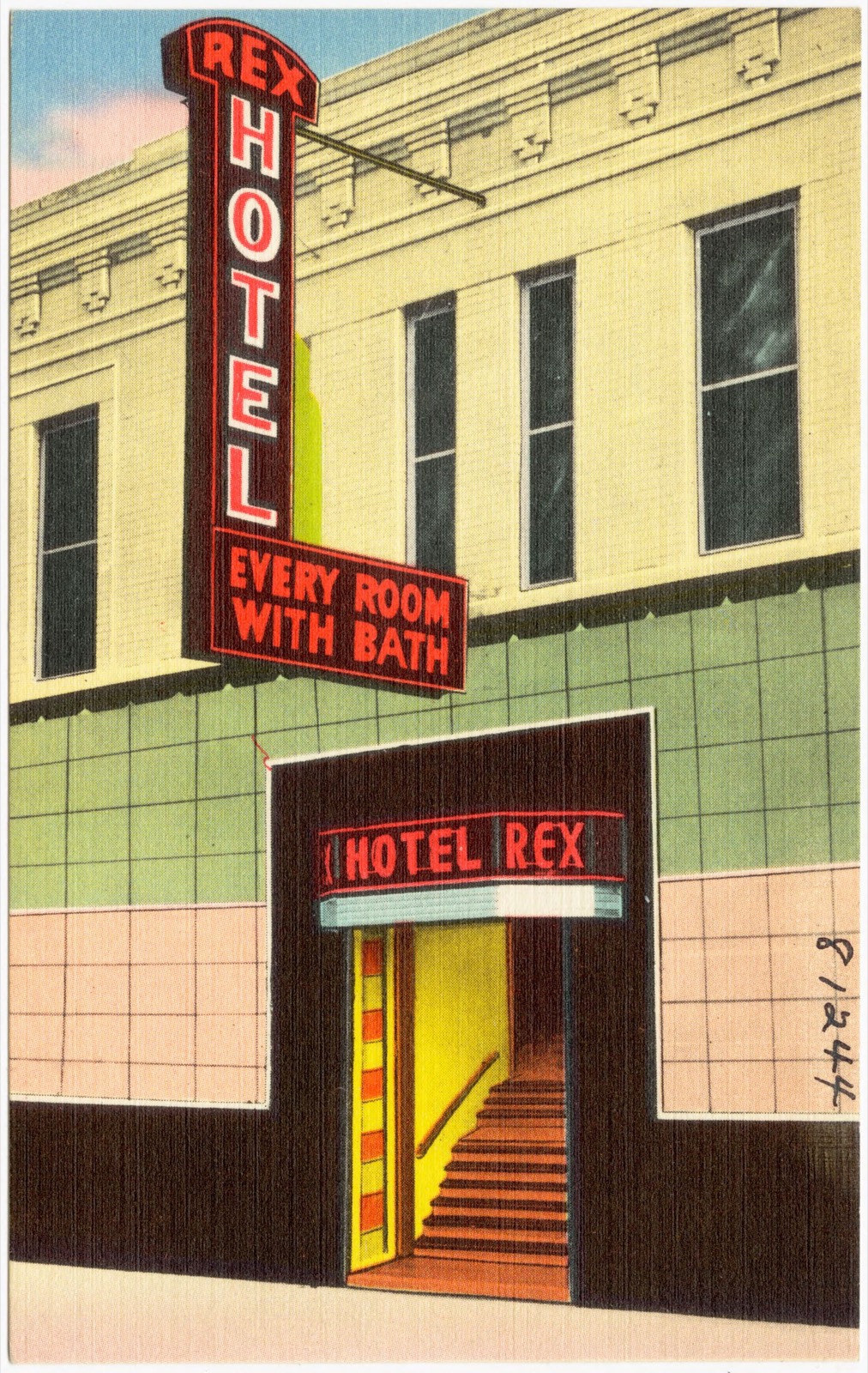
Rex Hotel, Boston Public Library - undated
Rex Hotel. Boston Public Library, via the Digital Public Library of America.
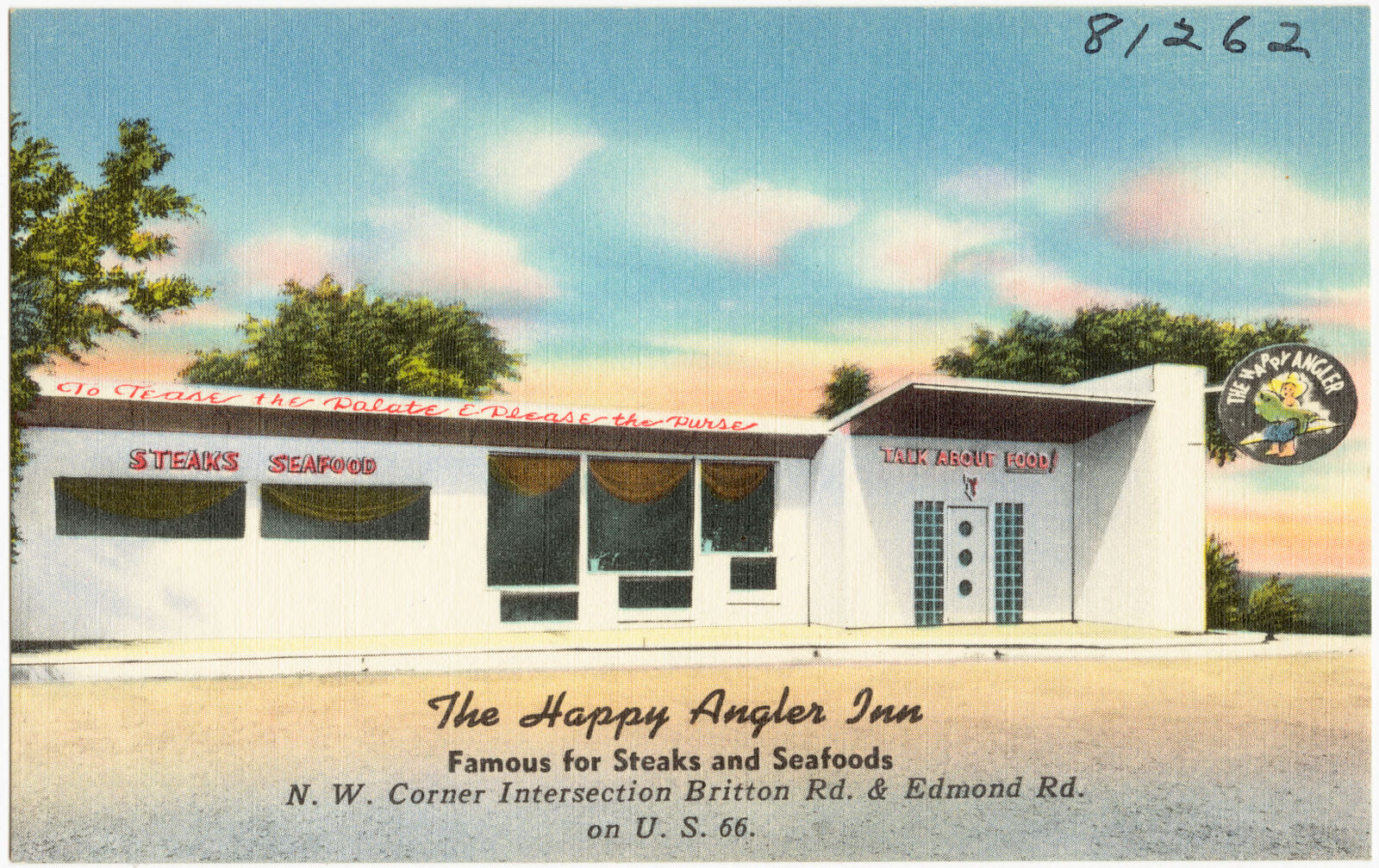
The Happy Angler Inn, famous for steak and seafoods, Boston Public Library - undated
The Happy Angler Inn, famous for steak and seafoods. Boston Public Library, via the Digital Public Library of America.
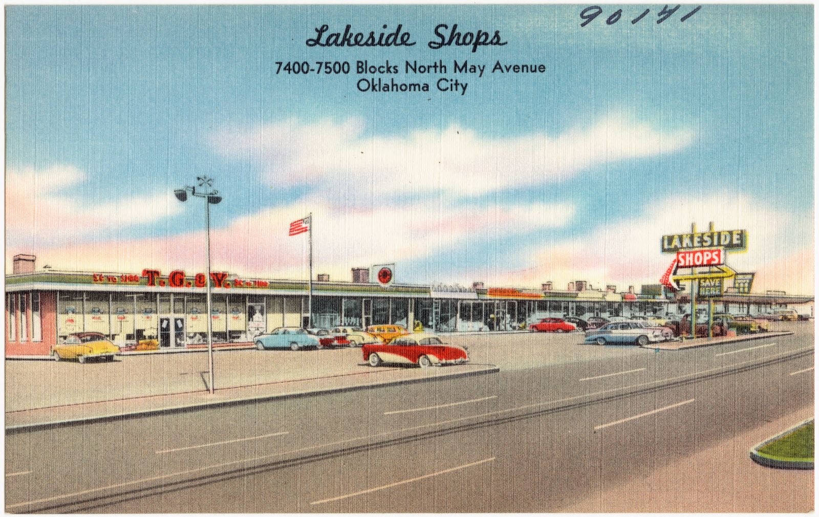
Lakeside Shops, 7400 - 7500 blocks north May Avenue, Oklahoma City, Boston Public Library - undated
Lakeside Shops, 7400 - 7500 blocks north May Avenue, Oklahoma City. Boston Public Library, via the Digital Public Library of America.
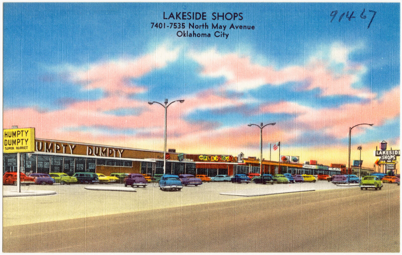
Lakeside Shops, 7400 - 7500 blocks north May Avenue, Oklahoma City, Boston Public Library - undated
Lakeside Shops, 7400 - 7500 blocks north May Avenue, Oklahoma City. Boston Public Library, via the Digital Public Library of America.
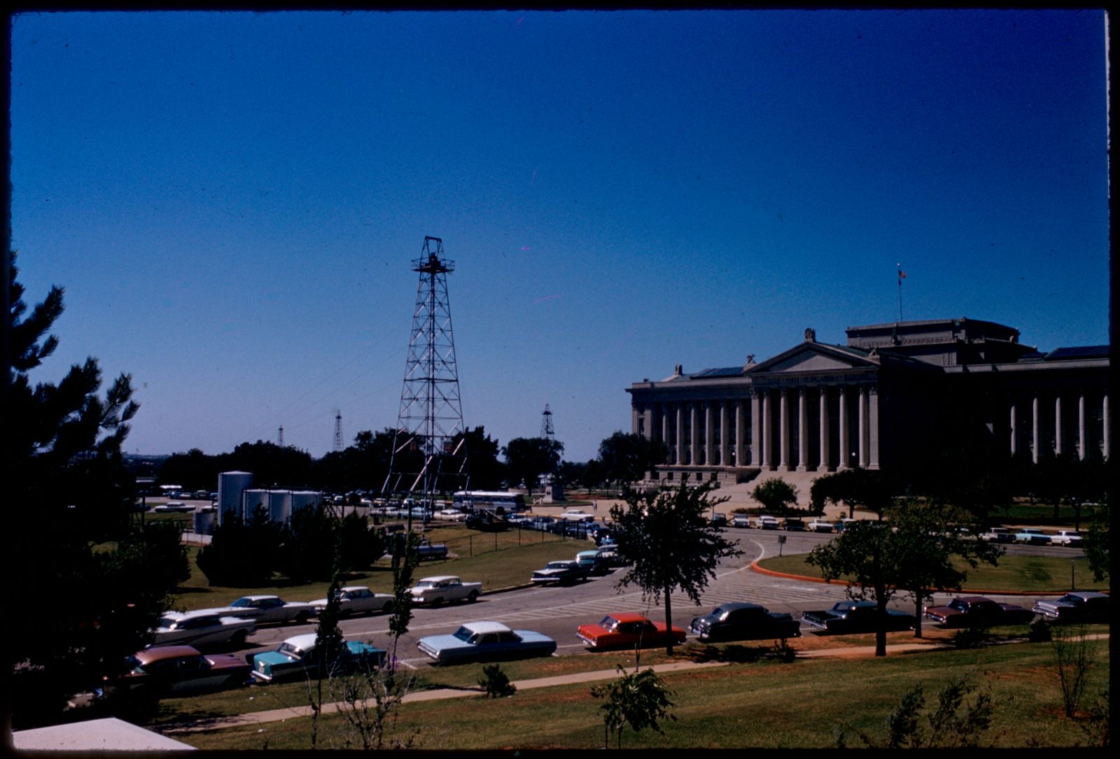
Oklahoma State Capitol, Boston Public Library - undated
Oklahoma State Capitol. Mitchell, Edmund L., 1905-1981, Boston Public Library, via the Digital Public Library of America.
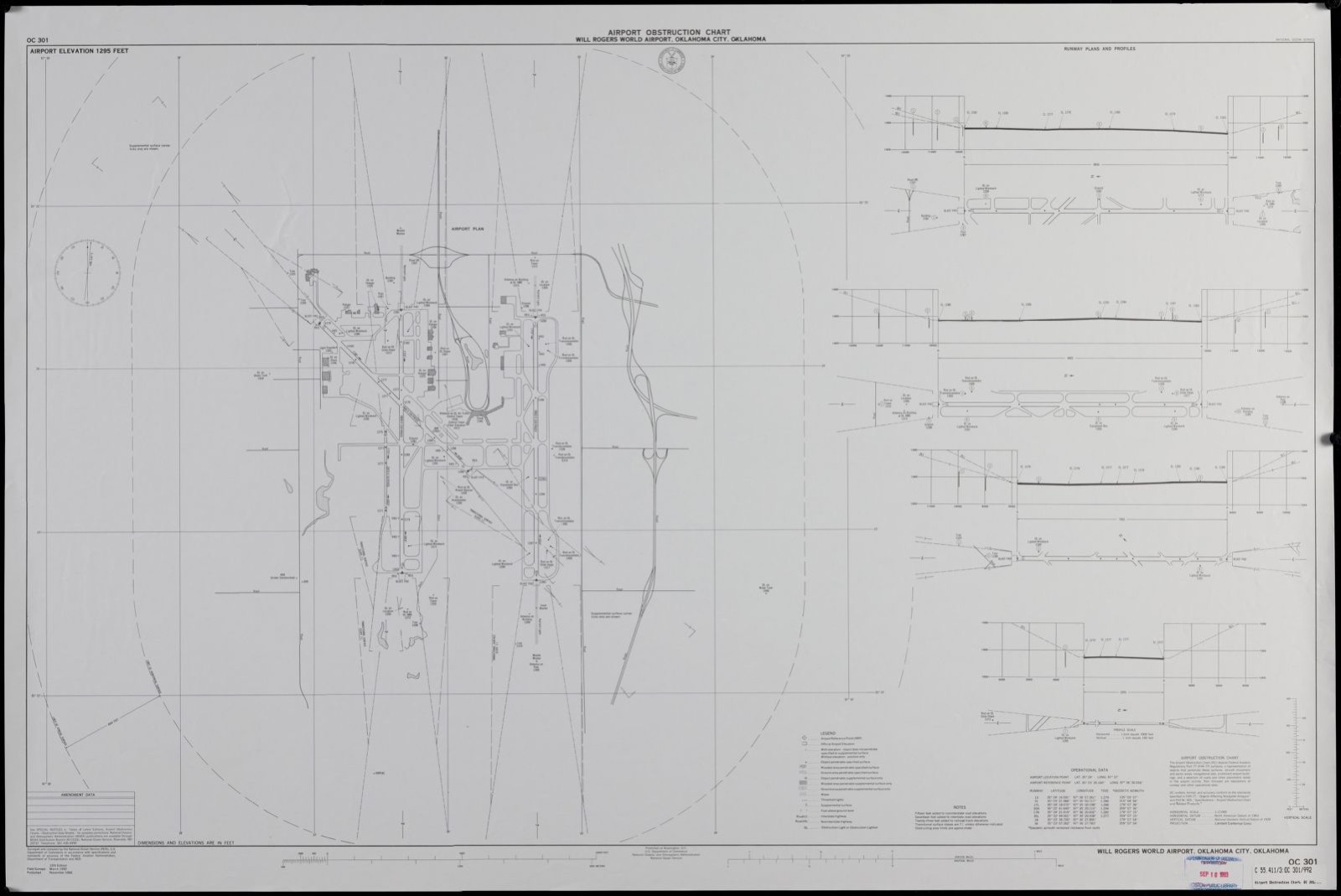
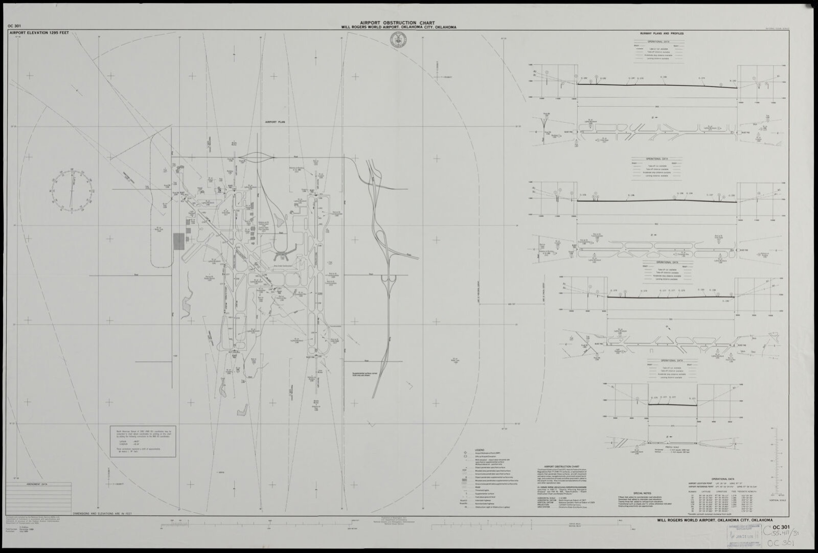
Airport obstruction chart OC 301, Will Rogers World Airport, Oklahoma City, Oklahoma, Boston Public Library - undated
Airport obstruction chart OC 301, Will Rogers World Airport, Oklahoma City, Oklahoma. United States. National Ocean Service, Boston Public Library, via the Digital Public Library of America.
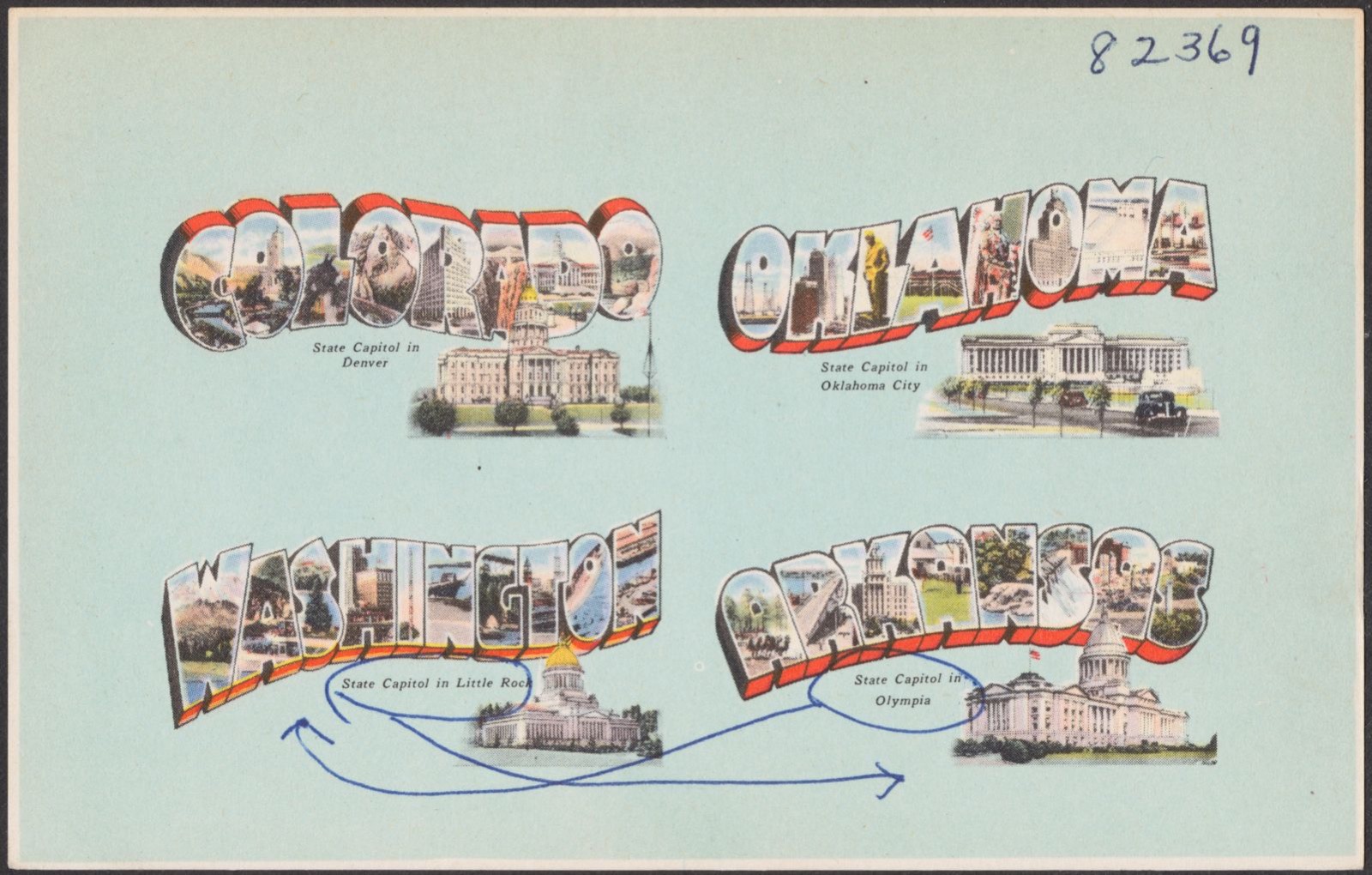
Colorado. Oklahoma. Washington. Arkansas., Boston Public Library - undated
Colorado. Oklahoma. Washington. Arkansas.. Boston Public Library, via the Digital Public Library of America.

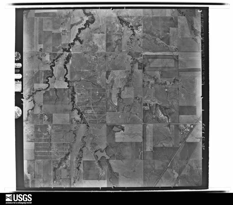
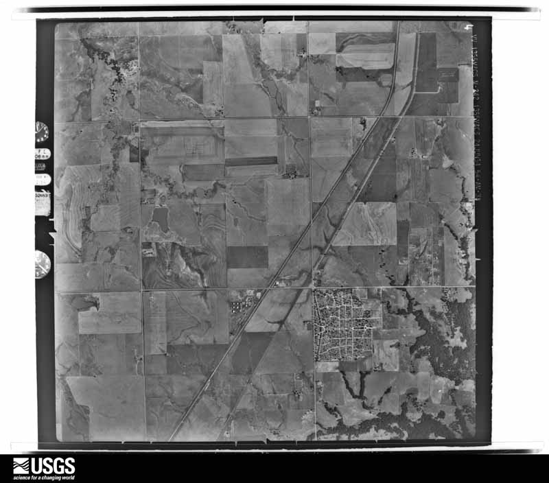
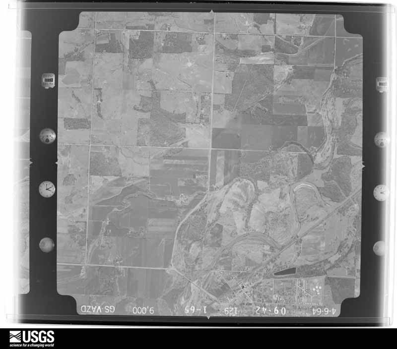
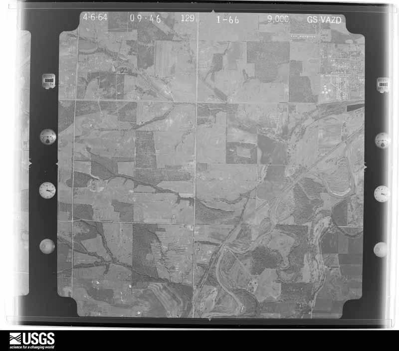
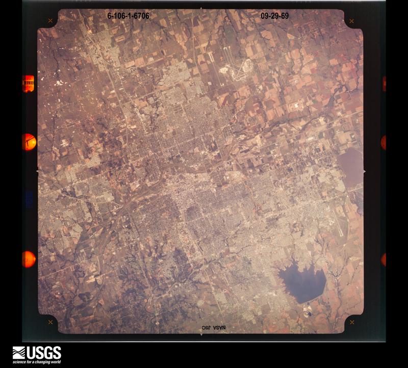
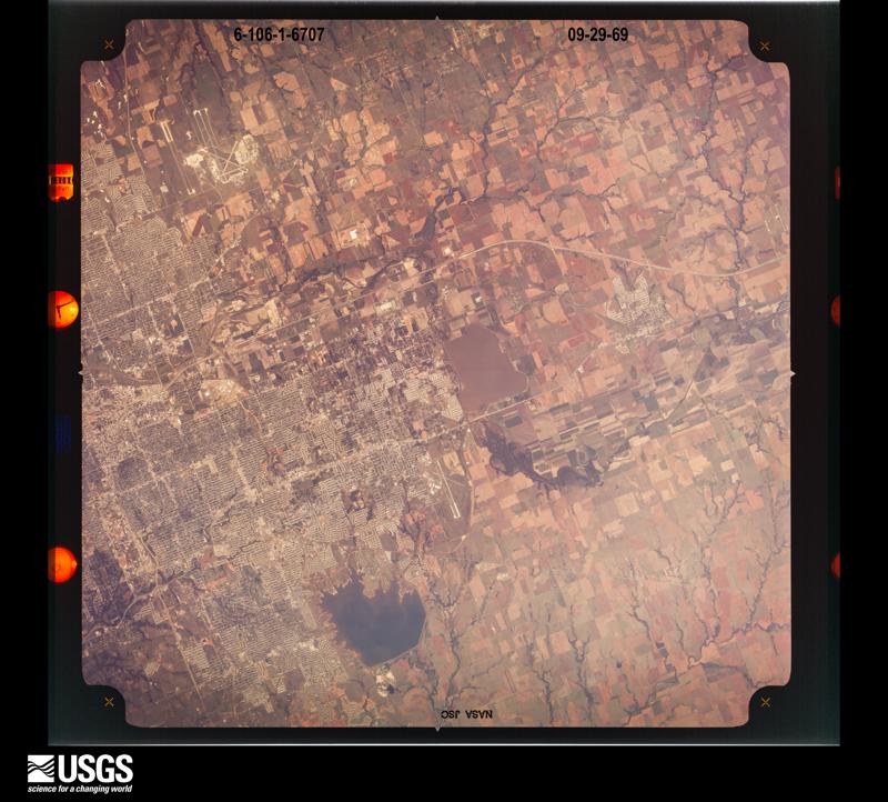
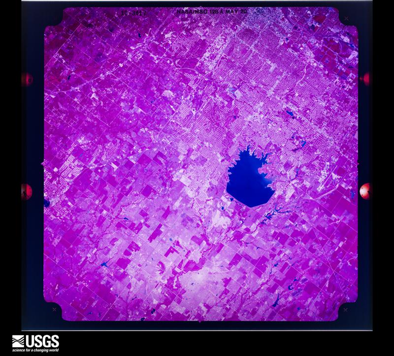
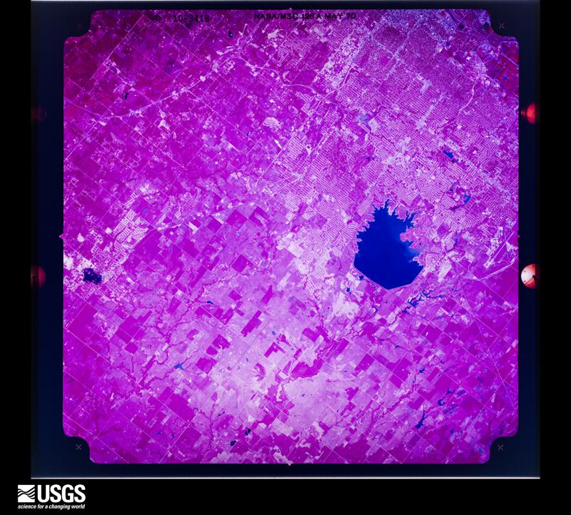
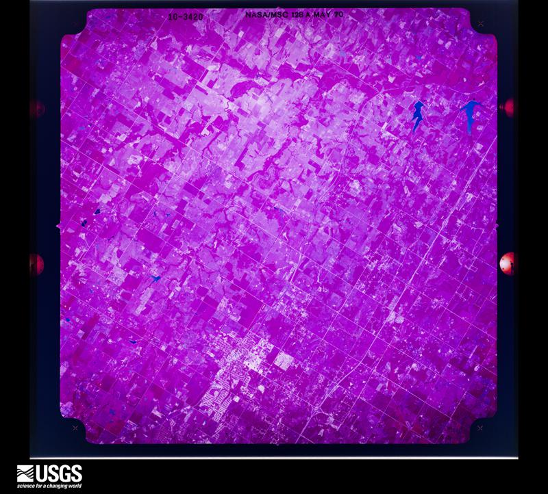
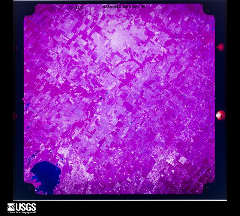
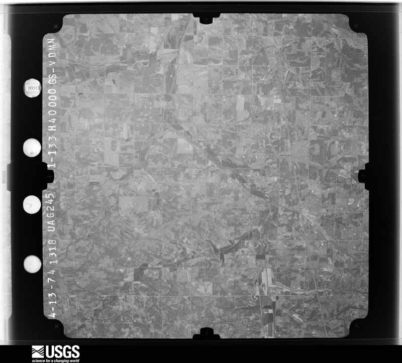
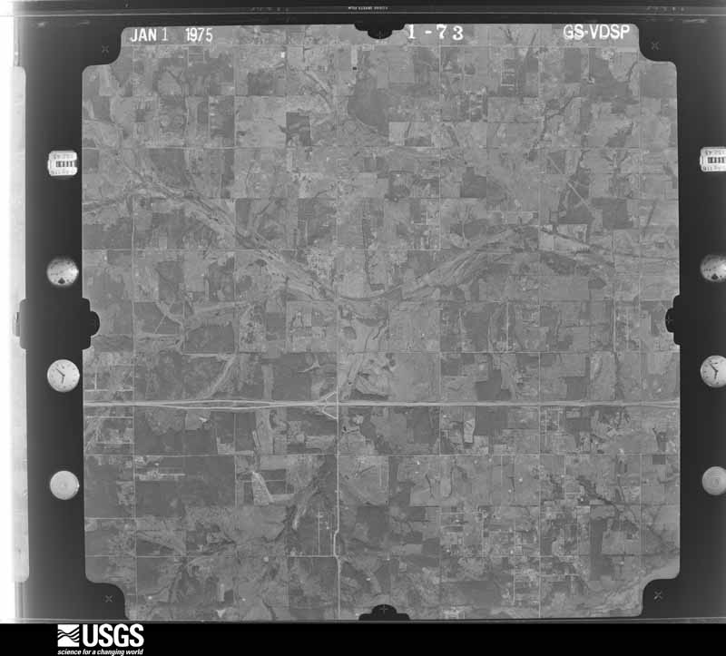
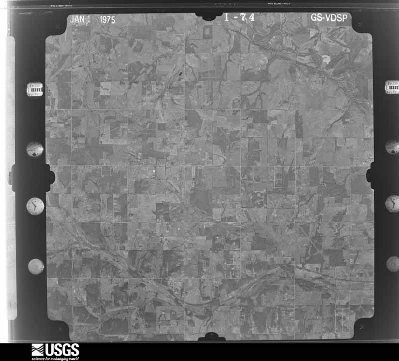
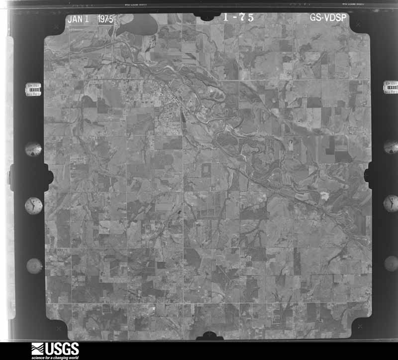
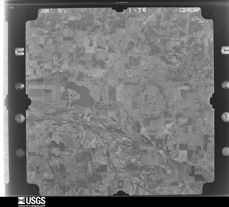
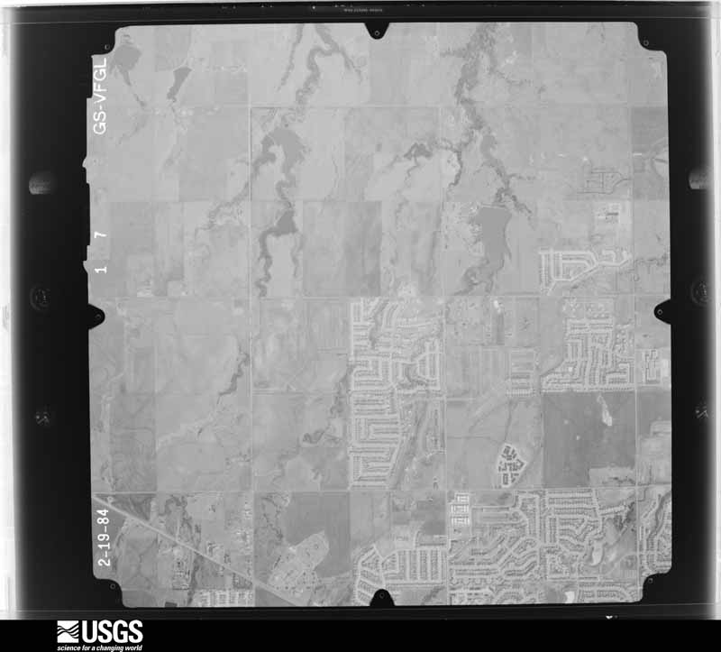
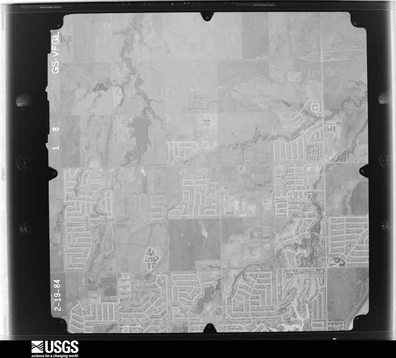
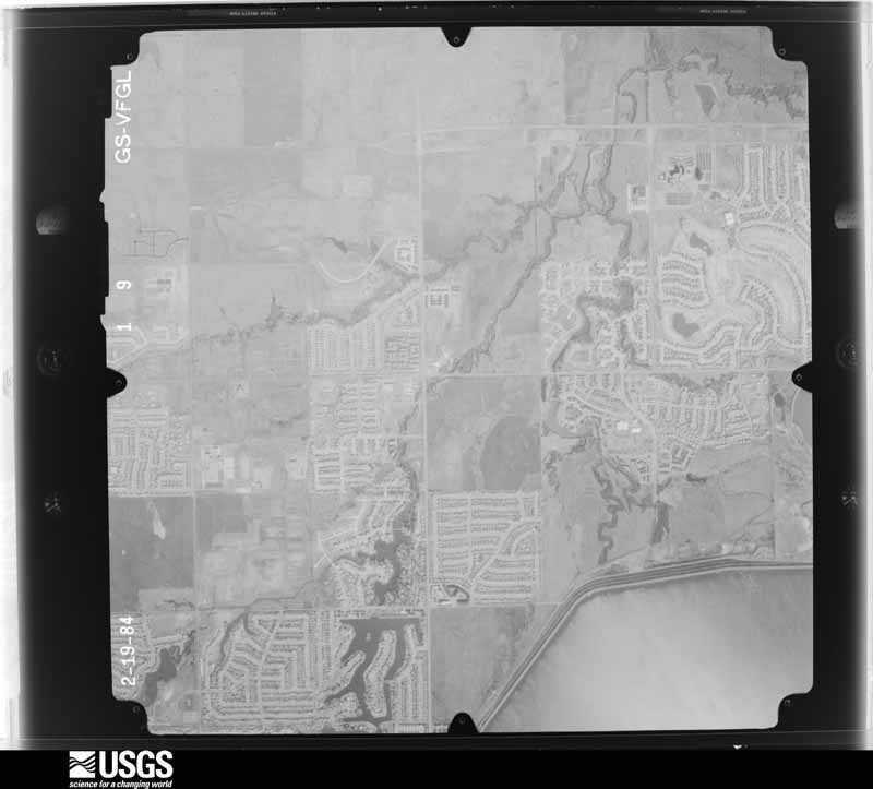
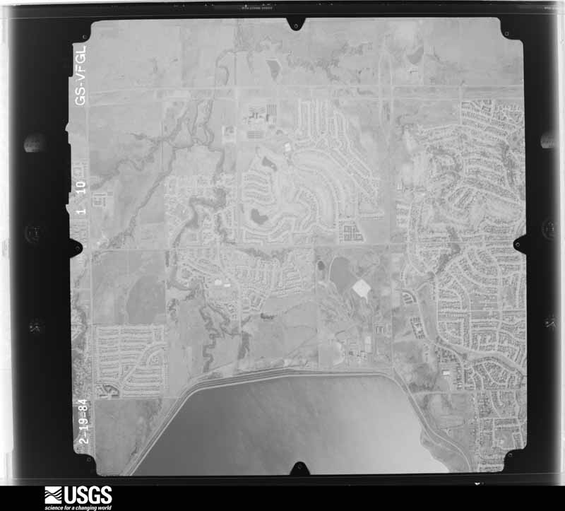
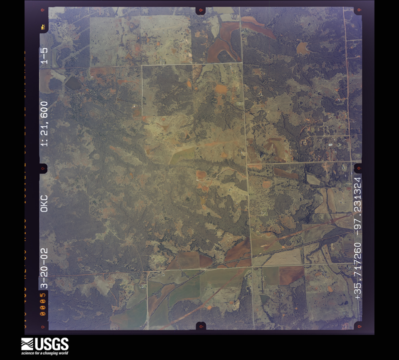
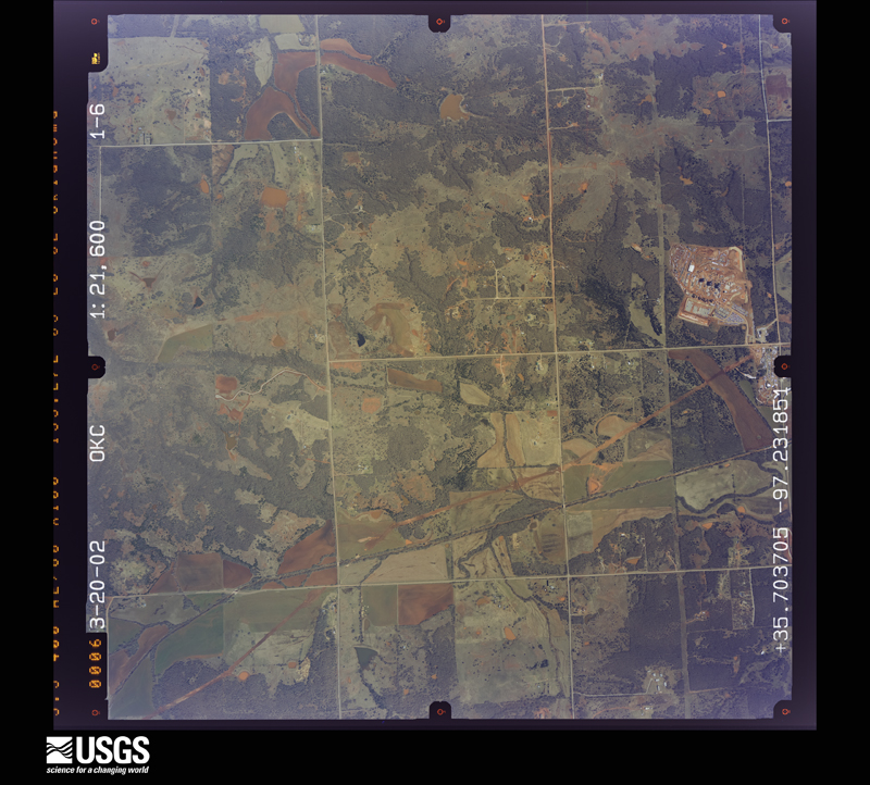
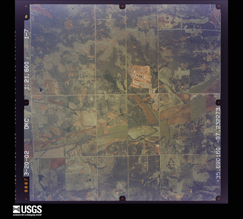
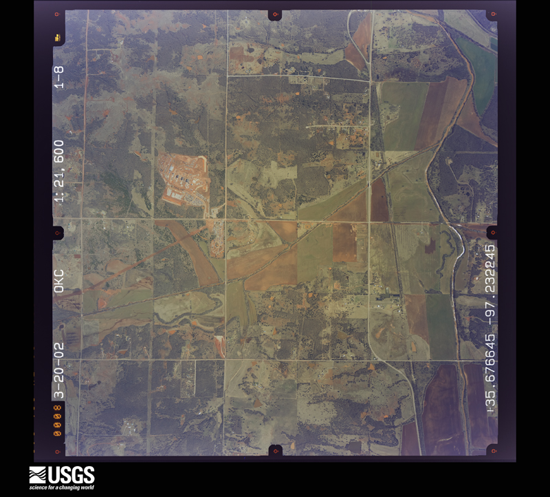
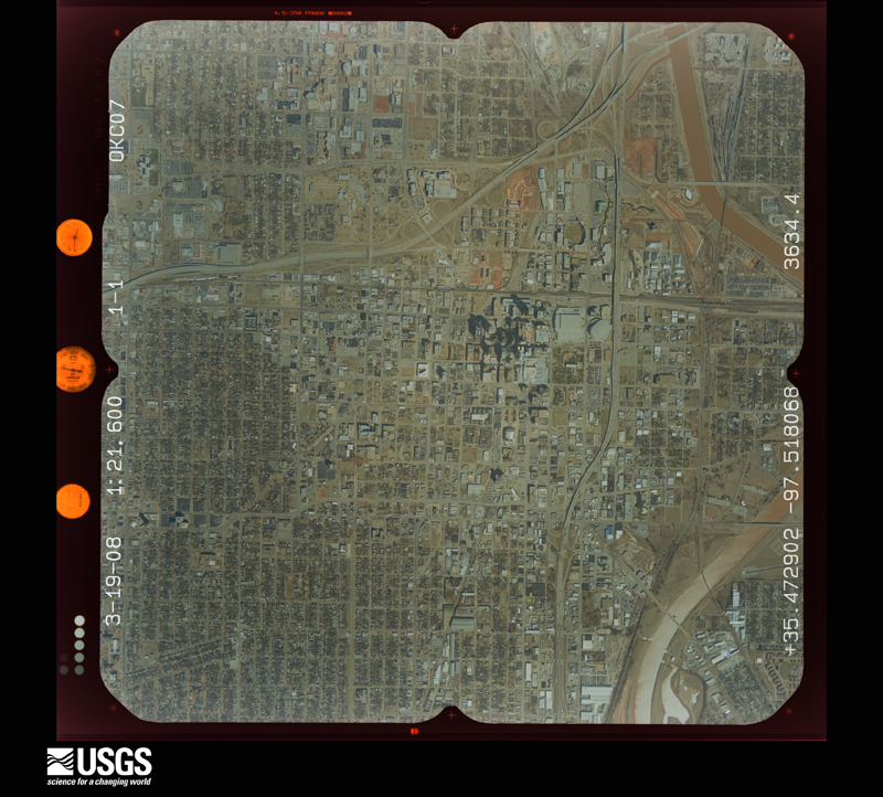
The county from the air

33 shown

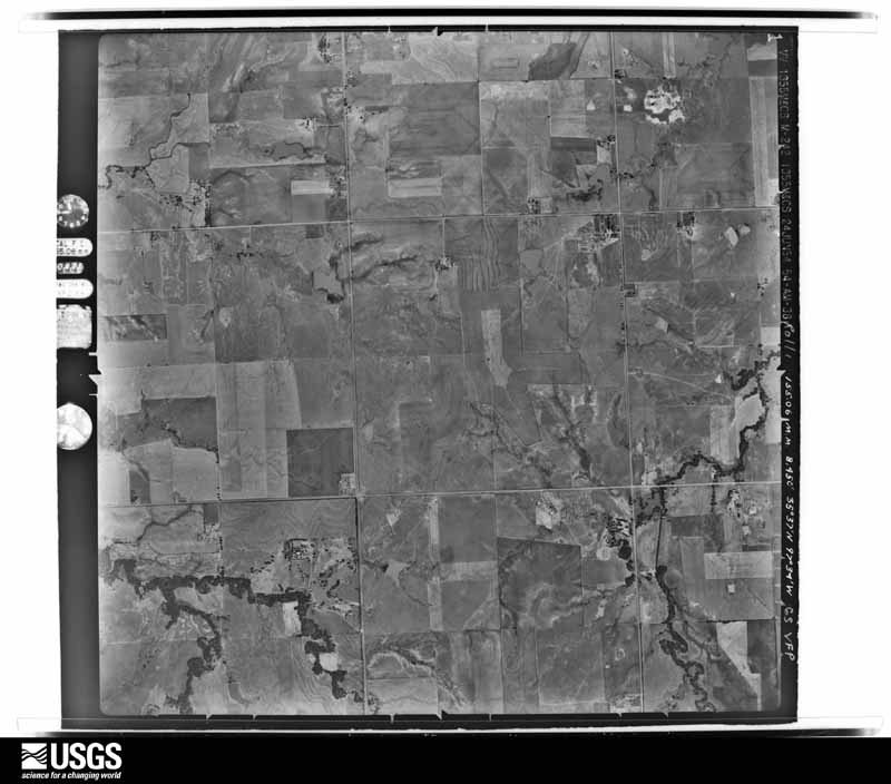
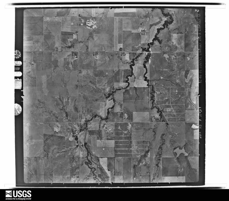
Flown by the U.S. Geological Survey between 1937 and 1989, the Aerial Photo Single Frames collection is the definitive mid-century view of the land: fields, roads and rivers as the camera saw them. The Survey holds 2,176 frames inside the rectangle that bounds this county; the 33 frames below were taken over the county itself, chosen across the decades of flights (at most four a year from that rectangle), so one flight cannot crowd out the rest. The full set is free to browse and download at EarthExplorer under the dataset Aerial Photo Single Frames.

U.S. Geological Survey aerial photograph, 1954-06-25, scale 1:17000
1954-06-25, scale 1:17000. U.S. Geological Survey aerial photograph.
U.S. Geological Survey aerial photograph, 1954-06-25, scale 1:17000
1954-06-25, scale 1:17000. U.S. Geological Survey aerial photograph.
U.S. Geological Survey aerial photograph, 1954-06-25, scale 1:17000
1954-06-25, scale 1:17000. U.S. Geological Survey aerial photograph.
U.S. Geological Survey aerial photograph, 1954-06-25, scale 1:17000
1954-06-25, scale 1:17000. U.S. Geological Survey aerial photograph.
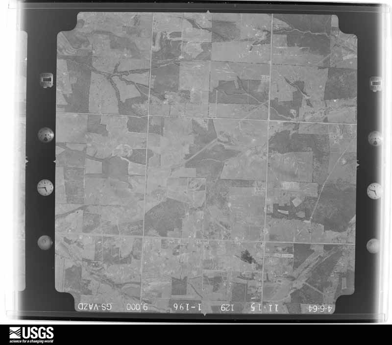
U.S. Geological Survey aerial photograph, 1964-04-06, scale 1:18000
1964-04-06, scale 1:18000. U.S. Geological Survey aerial photograph.
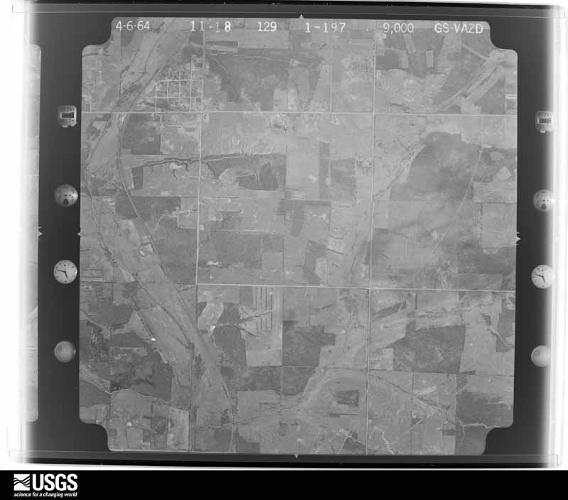
U.S. Geological Survey aerial photograph, 1964-04-06, scale 1:18000
1964-04-06, scale 1:18000. U.S. Geological Survey aerial photograph.
U.S. Geological Survey aerial photograph, 1964-04-06, scale 1:18000
1964-04-06, scale 1:18000. U.S. Geological Survey aerial photograph.
U.S. Geological Survey aerial photograph, 1964-04-06, scale 1:18000
1964-04-06, scale 1:18000. U.S. Geological Survey aerial photograph.
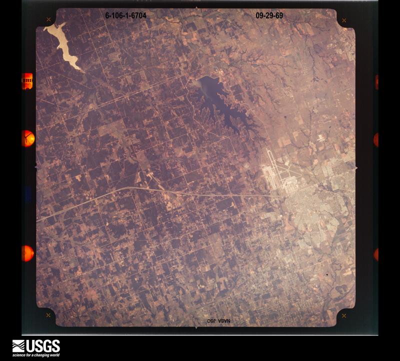
U.S. Geological Survey aerial photograph, 1969-09-29, scale 1:118862
1969-09-29, scale 1:118862. U.S. Geological Survey aerial photograph.
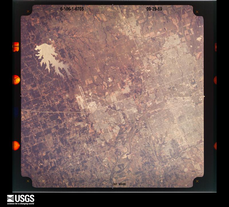
U.S. Geological Survey aerial photograph, 1969-09-29, scale 1:118862
1969-09-29, scale 1:118862. U.S. Geological Survey aerial photograph.
U.S. Geological Survey aerial photograph, 1969-09-29, scale 1:118862
1969-09-29, scale 1:118862. U.S. Geological Survey aerial photograph.
U.S. Geological Survey aerial photograph, 1969-09-29, scale 1:118862
1969-09-29, scale 1:118862. U.S. Geological Survey aerial photograph.
U.S. Geological Survey aerial photograph, 1970-05-02, scale 1:100536
1970-05-02, scale 1:100536. U.S. Geological Survey aerial photograph.
U.S. Geological Survey aerial photograph, 1970-05-02, scale 1:100536
1970-05-02, scale 1:100536. U.S. Geological Survey aerial photograph.
U.S. Geological Survey aerial photograph, 1970-05-02, scale 1:102770
1970-05-02, scale 1:102770. U.S. Geological Survey aerial photograph.
U.S. Geological Survey aerial photograph, 1970-05-02, scale 1:102770
1970-05-02, scale 1:102770. U.S. Geological Survey aerial photograph.
U.S. Geological Survey aerial photograph, 1974-04-13, scale 1:80000
1974-04-13, scale 1:80000. U.S. Geological Survey aerial photograph.
U.S. Geological Survey aerial photograph, 1975-01-01, scale 1:40000
1975-01-01, scale 1:40000. U.S. Geological Survey aerial photograph.
U.S. Geological Survey aerial photograph, 1975-01-01, scale 1:40000
1975-01-01, scale 1:40000. U.S. Geological Survey aerial photograph.
U.S. Geological Survey aerial photograph, 1975-01-01, scale 1:40000
1975-01-01, scale 1:40000. U.S. Geological Survey aerial photograph.
U.S. Geological Survey aerial photograph, 1975-01-01, scale 1:40000
1975-01-01, scale 1:40000. U.S. Geological Survey aerial photograph.
U.S. Geological Survey aerial photograph, 1984-02-01, scale 1:22000
1984-02-01, scale 1:22000. U.S. Geological Survey aerial photograph.
U.S. Geological Survey aerial photograph, 1984-02-01, scale 1:22000
1984-02-01, scale 1:22000. U.S. Geological Survey aerial photograph.
U.S. Geological Survey aerial photograph, 1984-02-01, scale 1:22000
1984-02-01, scale 1:22000. U.S. Geological Survey aerial photograph.
U.S. Geological Survey aerial photograph, 1984-02-01, scale 1:22000
1984-02-01, scale 1:22000. U.S. Geological Survey aerial photograph.
U.S. Geological Survey aerial photograph, 2003-04-20, scale 1:21600
2003-04-20, scale 1:21600. U.S. Geological Survey aerial photograph.
U.S. Geological Survey aerial photograph, 2003-04-20, scale 1:21600
2003-04-20, scale 1:21600. U.S. Geological Survey aerial photograph.
U.S. Geological Survey aerial photograph, 2003-04-20, scale 1:21600
2003-04-20, scale 1:21600. U.S. Geological Survey aerial photograph.
U.S. Geological Survey aerial photograph, 2003-04-20, scale 1:21600
2003-04-20, scale 1:21600. U.S. Geological Survey aerial photograph.
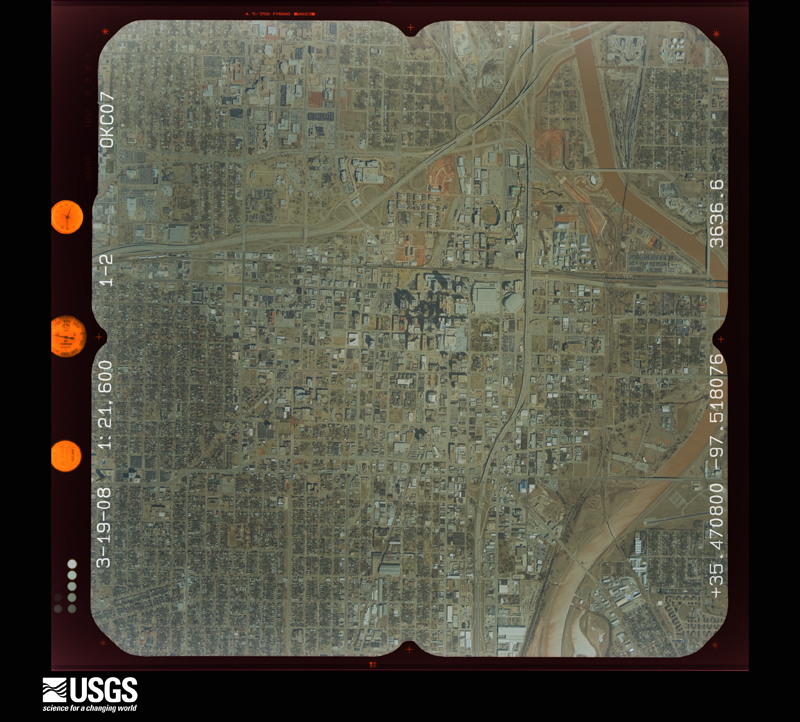
U.S. Geological Survey aerial photograph, 2008-03-19, scale 1:21600
2008-03-19, scale 1:21600. U.S. Geological Survey aerial photograph.
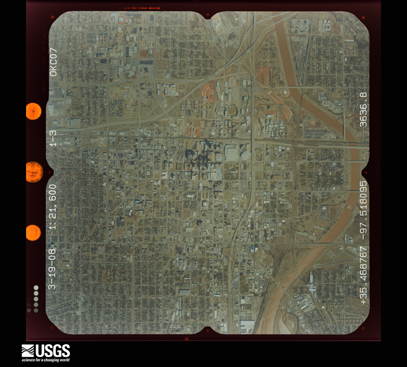
U.S. Geological Survey aerial photograph, 2008-03-19, scale 1:21600
2008-03-19, scale 1:21600. U.S. Geological Survey aerial photograph.
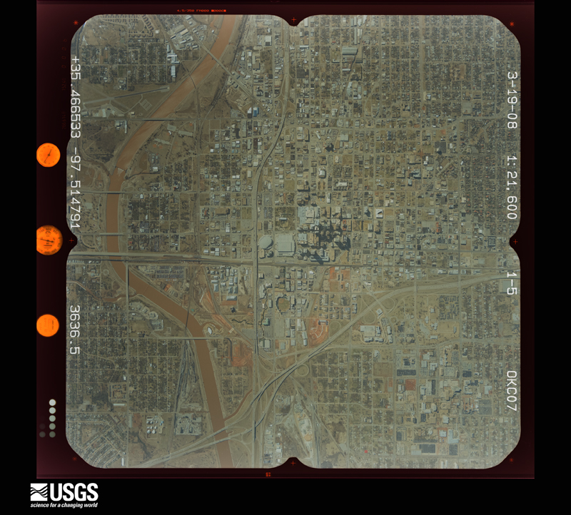
U.S. Geological Survey aerial photograph, 2008-03-19, scale 1:21600
2008-03-19, scale 1:21600. U.S. Geological Survey aerial photograph.
U.S. Geological Survey aerial photograph, 2008-03-19, scale 1:21600
2008-03-19, scale 1:21600. U.S. Geological Survey aerial photograph.

Weather records

75 stations, 10 gages

The thermometers that kept this county's weather, and the gages that measured the flow of its streams, as the federal records hold them. The extremes below are measured values from those records, not estimates.

The 1950 census, district by district

568 districts

Who lived here in 1950, one enumeration district at a time, as the Census Bureau described each district. Each row opens its official National Archives result, with Population Schedules and ED Maps available there.

  • 55-1Bethany city: Bethany city - That part comprising Ward 1 (Tract 68 - part) Bounded by City limits; City limits; City limits, S.E.; 3rd Peniel
  • 55-2Bethany city - That part comprising Ward 2 (Tract 68 - part) Bounded by City limits; City limits, Peniel; U.S. Highway 66; Asbury
  • 55-3Bethany city - That part comprising Ward 3 (Tract 68 - part) Bounded by City limits; Asbury; U.S. Highway 66; City limits
  • 55-4Bethany city - That part of Ward 4 (Tract 67 - part) Bounded by City limits; N. West Ave.; City limits; City limits
  • 55-5Bethany city - That part of Ward 4 (Tract 68 - part) Bounded by U.S. Highway 66; Peniel; S.W. 3rd, City limits; City limits, N. West Ave.
  • 55-6Bethany city - That part of Ward 4 (Tract 68 - part) Bounded by S.W. 3rd, S.E. 3rd; City limits; City limits; City limits
  • 55-7Boone township: Tinker Air Force Base Bounded by Midwest City limits, S.E. 29th; Property line of Tinker Air Force Base, Douglas Blvd.; S.E. 56th; Unnamed Highway
  • 55-8Boone township - That part Bounded by S.E. 29th; Boone - Cass township line; S.E. 56th; Douglas Blvd., Property line of Tinker Air Force Base
  • 55-9BBoone township - That part Bounded by S.E. 56th; Boone - Cass township line; County line; Boone - Greeley township line, S.E. 69th, Sooner Rd.
  • 55-9ABoone township - That part Bounded by Crutcho - Boone township line (E. Reno Ave.); Boone - Cass township line, S.E. 29th, Midwest City limits, Midwest Rd.; S.E. 56th; Sooner Rd.
  • 55-10BBoone township - That part outside Del City Bounded by S.E. 29th, Sunny Lane Cemetery Property line, Sunny Lane Rd., S.E. 31st, Picard, S.E. 30th, Vicki Dr., Del City limits, S.E. 29th; Sooner Rd.; S.E. 69th; S. Bryan
  • 55-10ABoone township - That part outside Del City Bounded by E. Reno Ave. (Crutcho - Boone township line); Sooner Rd.; S.E. 29th, Del City limits, S. State, S.E. 15th; S. Bryan
  • 55-11Boone township - That part outside Del City and Oklahoma City Bounded by Ash (S. E. 15th); S. State, Del City limits, Wilkinson Ave., S. E. 30th, Picard, S. E. 32nd, S. State; Sunny Lane Cemetery property line, S. E. 29th; Oklahoma City limits, S. Bryan
  • 55-12VOID
  • 55-13VOID
  • 55-14VOID
  • 55-15VOID
  • 55-16VOID
  • 55-17VOID
  • 55-18Britton township: Britton township - That part outside Oklahoma City Bounded by Unnamed rd. (Britton - Edmond township line); Unnamed rd. (Britton-Hartzel township line); Unnamed rd. (2 miles north of Britton Rd.), Oklahoma City limits, Unnamed rd. (2 miles north of Britton Rd.); State Highway 74 (Spring Creek -Britton township line)
  • 55-19Britton township - That part outside Oklahoma City Bounded by Unnamed rd. (2 miles north of Britton Rd.); N. Western Ave., Oklahoma City new city limits; Britton Rd.; N. May Ave. (Spring Creek - Britton township line)
  • 55-20Britton township - That part (Tract 63 - part), outside Oklahoma City Bounded by Unnamed rd. (2 miles north of Britton Rd.); Oklahoma City new city limits; Oklahoma City new city limits; N. Western Ave.
  • 55-21Britton township - That part (Tract 63 - part), outside Oklahoma City Bounded by Oklahoma City limits; Broadway; Oklahoma City limits; Oklahoma City limits
  • 55-22Britton township - That part outside Oklahoma City Bounded by Unnamed rd. (2 miles north of Britton Rd.); Britton-Hartzel township line; Britton - Oklahoma township line (N.E.75th); Oklahoma City limits, Broadway, Oklahoma City limits
  • 55-23Britton township - That part (Tract 64 - part), outside Oklahoma City and Nichols Hills town Bounded by Britton Rd.; Oklahoma City new city limits; Nichols Hills town limits, Power line; Power line
  • 55-24Britton township - That part (Tract 64 - part), outside Nichols Hills town Bounded by Britton Rd.; Power line, Nichols Hills town limits; Oklahoma City new city limits; May Ave.
  • 55-25Cass township
  • 55-26Choctaw town
  • 55-27AChoctaw township - That part Bounded by Township line; Township line; South line of Sections 13, 14, 15, 16, 17 and 18 T. 12N., R. 1 W.; Township line
  • 55-27BChoctaw township - That part by South line of Sections 13, 14, 15, 16, 17 and 18 T. 12N., R. 1 W.; Township line; U.S. Highway 62, Choctaw town limits, U.S. Highway 62; Township line
  • 55-28Choctaw township - That part south of U.S. Highway 62 (State Highway 1), outside Choctaw town
  • 55-29Council Grove township: Council Grove township - That part Bounded by N.W. 75th, (Spring Creek - Council Grove township line); Lake Hefner Park line; Lake Hefner Park line; Lake Hefner Park line
  • 55-30Council Grove township - That part Bounded by N. W. 75th (Spring Creek - Council Grove township line); Lake Hefner Park line; Lake Hefner Park line; Lake Hefner Park line
  • 55-31Council Grove township - That part (Tract 66 - part) by 75th (Spring Creek - Council Grove township line); Oklahoma City new city limits; Lake Hefner Park line; Lake Hefner Park line
  • 55-32Council Grove township - That part (Tract 66 - part), outside Gity Bounded by Lake Hefner Park line, Oklahoma City new city limits; Oklahoma City new city limits; Oklahoma city new city limits, N. W. 39th; N. Meridian Ave., Markle Ave., Markle Ave. extended
  • 55-33Council Grove township - That part (Tract 67 - part), outside Bethany and Warr Acres cities Bounded by N.W. 75th (Spring Creek - Council Grove township line), Lake Hefner Park line, N.W. 75th (Spring Creek - Council Grove township line); Lake Hefner Park line, Markle Ave. extended, Markle Ave. (N. Meridian Ave.); N.W. 50th, Warr Acres city limits, Bethany city limits, N. West Ave., N.W. 63rd, N. Doe Ave.
  • 55-34Council Grove township - That part (Tract 67 - part) Bounded by Municipal Air Port line (N.W. 63rd); Municipal Air Port line (N. West Ave.); Municipal Air Port line (N.W. 50th); Municipal Air Port line (N. Doe Ave.)
  • 55-35Council Grove township - That part (Tract 67 - part), outside Bethany city, and excluding St. Joseph's Orphanage and Home for the Aged Bounded by Municipal Air Port line (N.W. 50th); Bethany city limits, El Reno Blvd., Glade Ave.; N.W. 36th; N. Doe Ave.
  • 55-36St. Joseph's Orphanage and Home for the Aged (Tract 67 - part) (In Council Grove township)
  • 55-37Council Grove township - That part (Tract 67 - part), outside Bethany city Bounded by El Reno Blvd.; Bethany city limits; N.W. 36th; Glade Ave.
  • 55-38Council Grove township - That part (Tract 67 - part), excluding St. Francis Preparatory Seminary Bounded by N.W. 75th (Spring Creek - Council Grove township line); N. Doe Ave.; N.W. 36th; Eagle Lane, Lake Overholser Park line, Eagle Lane extended
  • 55-39St. Francis Preparatory Seminary (Tract 67 - part) (In Council Grove township)
  • 55-40Council Grove township - That part (Tract 68 - part), outside Warr Acres city Bounded by N.W. 50th; N. Meridian Ave.; El Reno Blvd.; Warr Acres city limits
  • 55-41Council Grove township - That part (Tract 68 - part), outside Warr Acres city Bounded by Warr Acres city limits, El Reno Blvd.; N. Meridian Ave.; N.W. 36th; Warr Acres city limits
  • 55-42Council Grove township - That part (Tract 68 - part), outside Bethany and Warr Acres cities Bounded by Warr Acres city limits; MacArthur Blvd.; N.W. 30th; Bethany city limits
  • 55-43Council Grove township - That part (Tract 68 - part), outside Bethany city Bounded by Bethany city limits; Bethany city limits; N.W. 30th; N. West Ave.
  • 55-44ACouncil Grove township - That part (Tract 69 - part), outside Warr Acres city and Oklahoma City Bounded by Warr Acres city limits, N.W. 36th; N. Meridian Ave., Oklahoma city limits, N. Meridian Ave.; W. Reno Ave.; West End Ave. (MacArthur)
  • 55-44BCouncil Grove township - That part (Tract 69 - part), outside Bethany city Bounded by N.W. 30th, Bethany city limits, N.W. 30th; West End Ave. (MacArthur); W. Rome Ave.; N. West Ave. (Trimble)
  • 55-44CCouncil Grove township - That part (Tract 69 - part) Bounded N.W. 36th; N. West Ave. (Trimble); N. Reno Ave.; N. Doe Ave.
  • 55-45Council Grove township - That part (Tract 69 - part) Bounded by N.W. 36th; N. Doe Ave.; W. Reno Ave. (Council Grove - Mustang township line) North Canadian River, County line, North Canadian River, N.W. 10th, Chisholm Ave., Lake Overholser Dr., Eagle Lane
  • 55-46Council Grove township - That part Bounded by N.W. 75th (Spring Creek - Council Grove township line); Eagle Lane extended, Lake Overholser Park line, Eagle Lane, Lake Overholser Dr., Chisholm Ave., N.W. 10th, North Canadian River; County line, and including the area which is located southwest of North Canadian River, north of W. Reno Ave. and east of county line
  • 55-47Council Grove township - That part (Tract 59 - part), outside Oklahoma City Bounded by N.W. 36th, Amelia Blvd., N.W. 38th, Geraldine Ave., N.W. 36th, Maney Ave., N.W. 39th, Oklahoma City new city limits,, Oklahoma City new city limits; Oklahoma City limits; N. Meridian Ave.
  • 55-48Council Grove township - That part (Tract 59 - part) Bounded by N.W. 39th (El Reno Blvd.); Maney Ave.; N.W. 36th, Geraldine Ave., N.W. 38th, Amelia Blvd., N.W. 36th; N. Meridian Ave.
  • 55-49Council Grove township - That part (Tract 59 - part), outside Oklahoma City Bounded by Oklahoma City limits; Oklahoma City limits; Oklahoma City new city limits, N.W. 10th; N. Meridian Ave.
  • 55-50Council Grove township - That part (Tract 59 - part) Bounded by N.W. 10th; Vermont Ave.; Chicago, Rock Island & Pacific Railroad; N. Meridian Ave.
  • 55-51Council Grove township - That part (Tract 59 - part), outside Oklahoma City Bounded by N.W. 10th, Oklahoma City new city limits; Oklahoma City limits; Chicago, Rock Island & Pacific Railroad; N. Vermont Ave.
  • 55-52Council Grove township - That part (Tract 70 - part), outside Oklahoma City Bounded by Chicago, Rock Island & Pacific Railroad; Oklahoma City new city limits; E. Reno Ave. (Council Grove - Mustang township line); N. Meridian Ave.
  • 55-53Crutcho township - That part Bounded by N.E. 75th (Hartzel - Crutcho township line); Crutcho - Choctaw township line; E. Reno Ave. (Crutcho - Boone township line); Sooner Rd., Witcher (Guthrie cut-off)
  • 55-54Crutcho township - That part (Tract 60) Bounded by N.E. 75th (Hartzel-Crutcho township line); Witcher (Guthrie cut-off); Sooner Rd.. North Canadian River; N.E. 23rd; N. Bryan (Oklahoma - Crutcho township line)
  • 55-55Crutcho township - That part outside Oklahoma City Bounded by N.E. 23rd, North Canadian River; Sooner Rd.; E. Reno Ave (Crutcho - Boone township line); N. Bryan, Oklahoma city limits; Champlain Oil Co. property line, Oklahoma city limits, Oklahoma City new city limits, N. Bryan
  • 55-56Crutcho township - That part outside Oklahoma City Bounded by Champlain Oil Co. line; Champlain Oil Co. line; Champlain Oil Co. line; Oklahoma City limits
  • 55-57Deep Fork township
  • 55-58Deer Creek township
  • 55-59BDel City - That part Bounded by S.E. 22nd., City limits; City limits; S. E. 24th, Vickie Dr., S. E. 24th, Epperly Dr., S. E. 27th; Del Rd., Doris Ave.
  • 55-59ADel City - That part Bounded by Del Rd., S. E. 27th, Epperly Dr., S. E. 24th, Vickie Dr., S. E. 24th; City limits; City limits; City limits
  • 55-59CDel City - That part Bounded by City limits; City limits; S.E. 22nd. Doris Ave.; Del Rd., City limits
  • 55-60Dewey township
  • 55-61Edmond city: Edmond city - That part of Ward 1 Bounded by City limits; City limits; Ward line, Edwards, Campbell; Jackson
  • 55-62Edmond city - That part of Ward 1 Bounded by City limits; Jackson; Campbell, Ward line; Atchison, Topeka & Santa Fe Railroad, City limits
  • 55-63Edmond city - That part of Ward 2 Bounded by Edwards, Ward line; City limits; Ward line; Chowning Ave., Hurd, Roberts
  • 55-64Edmond city - That part of Ward 2 Bounded by Campbell, Normal Circle, E. Edwards; Roberts, Hurd, Chowning Ave.; 1st, Ward line, 1st; Ward line
  • 55-65Edmond city - That part of Ward 3 Bounded by 1st, Ward line, 1st, Ward line; City limits; City limits; Boulevard
  • 55-66Edmond city - That part of Ward 3 Bounded by 1st; Boulevard, City limits; City limits; City limits, Atchison, Topeka & Santa Fe Railroad, Ward line
  • 55-67Edmond city - That part of Ward 4 Bounded by City limits; Atchison, Topeka & Santa Fe Railroad, Ward line; 1st extended, 1st; City limits
  • 55-68Edmond city - That part of Ward 4 Bounded by 1st, 1st extended; Ward line, Atchison, Topeka & Santa Fe Railroad, City limits; City limits; City limits
  • 55-69Edmond township - Outside Edmond city
  • 55-70Elk township: Elk township - That part northeast and north of North Canadian River and north of U.S. Highway 62
  • 55-71Elk township - That part southwest and south of North Canadian River and south of U.S. Highway 62, outside Harrah town
  • 55-72Greeley township: Greeley township - That part (Tract 73 - part), outside Oklahoma City Bounded by E. Reno Ave. (Oklahoma - Greeley township line); S. Bryan (Greeley - Boone township line); Oklahoma City limits; S. East Ave., S.E. 18th, Genesee Ave., Ash, S.E. Grand Blvd., S.E. 8th (Highland), S. East Ave.
  • 55-73Greeley township - That part (Tract 73 - part) Bounded by S.E. 8th (Highland); S.E. Grand Blvd., Ash, Genesee Ave.; S.E. 18th; S. East Ave.
  • 55-74Greeley township - That part (Tract 73 - part), outside Oklahoma City Bounded by Oklahoma City limits; Oklahoma City limits; Oklahoma City limits; S. East Ave.
  • 55-75Greeley township - That part (Tract 73 - part), outside Oklahoma City Bounded by Oklahoma City new city limits, Oklahoma City limits; S. Bryan (Greeley - Boone township line); S. E. 69th; Shields Blvd., Oklahoma City new city limits
  • 55-76Greeley township - That part (Tract 73 - part) Bounded by S. E. 69th; S. Bryan (Greeley - Boone township line); County line; Shields Blvd.
  • 55-77Greeley township - That part (Tract 53 - part), outside Oklahoma city Bounded by E. Reno Ave. (Oklahoma-Greeley township line); S. East Ave., St. Louis & San Francisco Railroad, Middleton extended, Ash, Middleton, S. E. 22nd, Oklahoma City limits, S. East Ave., Oklahoma City limits; Oklahoma City limits; Oklahoma City limits, Oklahoma City new city limits, Oklahoma City limits, Oklahoma City new city limits, Oklahoma City limits
  • 55-78Greeley township - That part (Tract 53 - part) Bounded by St. Louis & San Francisco Railroad; S. East Ave.; S. E. 22nd (Slemp); Middleton, Ash, Middleton extended
  • 55-79VOID
  • 55-80Greeley township - That part (Tract 53 - part) of County Area situated entirely within the corporate limits of Oklahoma City, outside Oklahoma City Bounded by Oklahoma City limits; Oklahoma City limits (S. East Ave.); Oklahoma City new city limits (S. E. Grand Blvd.); Oklahoma City new city limits, Oklahoma City limits
  • 55-81VOID
  • 55-82VOID
  • 55-83Greeley township - That part (Tract 35 - part), outside Oklahoma City Bounded by Oklahoma City limits; North Canadian River
  • 55-84Greeley township - That part (Tract 40 - part), outside Oklahoma City Bounded by Oklahoma City limits; S. Walker Ave.; North Canadian River
  • 55-85Greeley township - That part (Tract 45 - part), outside Oklahoma City Bounded by North Canadian River, Oklahoma City limits; North Canadian River, Oklahoma City limits (S. Walker Ave.); Oklahoma City limits (S.W. 22nd); Oklahoma City limits (S. Blackwelder Ave.), Oklahoma City new city limits, Oklahoma City limits
  • 55-86Greeley township - That part (Tract 45 - part), outside Oklahoma City Bounded by Oklahoma City new city limits; Oklahoma City limits; Oklahoma City limits; Oklahoma City limits, S. Pennsylvania Ave.
  • 55-87Greeley township - That part (Tract 57 - part), outside Oklahoma City Bounded by Oklahoma City new city limits; Oklahoma City limits, Oklahoma City new city limits, S. Pennsylvania Ave.; Oklahoma City limits, [Oklahoma Belt] O.B. Rwy., St. Louis San Francisco Railroad; Oklahoma City new city limits, S. May Ave., Oklahoma City new city limits, S. May Ave. (Mustang - Greeley township line)
  • 55-88Greeley township - That part (Tract 43 - part), otside Oklahoma City Bounded by St. Louis San Francisco Railroad; O. B. [Oklahoma Belt] Railway; Oklahoma City limits
  • 55-89Greeley township - That part (Tract 42 - part), outside Oklahoma City Bounded by St. Louis San Francisco Railroad; Oklahoma City limits; Oklahoma City limits (S.W. 29th); Oklahoma City new city limits (S. May Ave.)
  • 55-90VOID
  • 55-91VOID
  • 55-92VOID
  • 55-93Greeley township - That part (Tract 72 - part), outside Oklahoma City Bounded by Oklahoma City new city limits; Shields Blvd.; S.E. 69th, S.W. 69th; S. May Ave. (Mustang - Greeley township line)
  • 55-94VOID
  • 55-95VOID
  • 55-96Greeley township - That part (Tract 72 - part) Bounded by S.W. 69th, S.E. 69th; Shields Blvd.; County line; S. May Ave. (Mustang - Greeley township line)
  • 55-97Void
  • 55-98Void
  • 55-99Harrah town
  • 55-100Hartzel townships Hartzel township - That part Bounded by Lincoln - Hartsel township line; Hartzel - Springer township line; Hartzel-Crutcho township line (N.E. 75th); Unnamed Highway, Unnamed Highway, Britton - Hartzel township line
  • 55-101Hartzel township - That part Bounded by Unnamed Highway; Unnamed Highway; Hartzel - Crutcho township line (N.E. 75th); Britton - Hartzel township line
  • 55-102Jones town
  • 55-103Lincoln township - Outside Edmond city
  • 55-104Luther town
  • 55-105Luther township - Outside Luther town
  • 55-106Midwest City: Midwest City - That part of Ward 1 Bounded by W. Harmon Dr., W. Lockheed Dr., W. MacArthur Dr., E. MacArthur Dr., E. Lockheed Dr., E. Harmon Dr.; N. Rickenbacker Dr., E. Turnbull Dr.; City limits; W. Turnbull Dr., W. Rickenbacker Dr.
  • 55-107Midwest City - That part of Ward 1 Bounded by Ward line; W. Rickenbacker Dr., W. Turnbull Dr.; City limits; City limits
  • 55-108Midwest City - That part of Ward 2 Bounded by Ward line; City limits; City limits; Marshall Dr., E. Douglas Dr., Key Blvd.
  • 55-109Midwest City - That part of Ward 2 Bounded by E. Jacobs Dr.; Key Blvd.; E. Douglas Dr., Marshall Dr., E. Ercoupe Dr.; E. Rickenbacker Dr.
  • 55-110Midwest City - That part of Ward 2 Bounded by E. Ercoupe Dr.; Marshall Dr.; City limits; E. Turnbull Dr., E. Rickenbacker Dr.
  • 55-111N/A
  • 55-112Midwest City - That part of Ward 3 Bounded by E. Marshall Dr., Atkinson Dr., Givens Dr., Unnamed st.; City limits; Ward line, Key Blvd., E. Jacobs Dr. E. Rickenbacker Dr., E. Kittyhawk Dr., E. Lockheed Dr., E. Lilac Lane, N. Lilac Lane
  • 55-113N/A
  • 55-114Midwest City - That part of Ward 4 Bounded by W. Lilac Lane, N. Red Bud Dr., W. Marshall Dr., E. Marshall Dr.; N. Lilac Lane, E. Lilac Lane, E. Lockheed Dr., E. Kittyhawk Dr., E. Rickenbacker Dr.; E. Harmon Dr., E. Lockheed Dr., E. MacArthur Dr., W. MacArthur Dr., W. Lockheed Dr., W. Harmon Dr., W. Rickenbacker Dr., Ward line; City limits
  • 55-115Mustang township: Mustang township - That part (Tract 70 - part), outside Oklahoma city Bounded by W. Reno Ave. (Council Grove - Mustang township line), Oklahoma City limits (W. Reno Ave.); Oklahoma City new city limits, S. May Ave. (Mustang - Greeley township line), North Canadian River, Oklahoma City new city limits, North Canadian River, S. Portland Ave., Oklahoma City new city limits (S. Portland Ave.); Oklahoma City new city limits; S. Meridian Ave.
  • 55-116Mustang township - That part (Tract 70 - part), outside Oklahoma City Bounded by Oklahoma City new city limits; Oklahoma City new city limits (S. Portland Ave.); S.W. 44th; S. Meridian Ave.
  • 55-117Mustang township - That part (Tract 56 - part), outside Oklahoma City Bounded by North Canadian River; S. May Ave. (Mustang - Greeley township line); Oklahoma City new city limits; Oklahoma City new city limits (S. Independence Ave.), North Canadian River
  • 55-118Mustang township - That part (Tract 56 - part), outside Oklahoma City Bounded by North Canadian River; Oklahoma City new city limits; S. Portland Ave.
  • 55-119VOID
  • 55-120Mustang township - That part (Tract 71) Bounded by S. W. 44th, Oklahoma City new city limits; S. May Ave. (Mustang - Greeley township line); County line; S. Meridian Ave.
  • 55-121Mustang township - That part Bounded by W. Reno Ave. (Council Grove - Mustang township line); S. Meridian Ave., Oklahoma City new city limits, S. Meridian Ave.; S.W. 44th; S. Doe Ave.
  • 55-122AMustang township - That part Bounded by W. Reno Ave. (Council Grove - Mustang township line), S. Doe Ave., S.W. 44th; S. Meridian Ave. (Newcastle Blvd.), S. W. 56th, McArthur Blvd.; County line; County line
  • 55-122BMustang township - That part, excluding Will Rogers Memorial Veterans Hospital Bounded by S. W. 56th; Meridian Ave.; County line; McArthur Blvd.
  • 55-123Will Rogers Memorial Veterans Hospital (In Mustang township)
  • 55-124Nichols Hills town: Nichols Hills town - That part (Tract 63 - part) Bounded by Dorchester Dr.; Town limits; Wilshire Blvd.; Waverly Ave.
  • 55-125Nichols Hills town - That part (Tract 64 - part) Bounded by Town limits; Town limits, Dorchester Dr., Waverly Ave., Wilshire Blvd., Town limits, Brentwood Ave.; Grand Blvd., Town limits; Town limits
  • 55-126Nichols Hills town - That part (Tract 62 - part) Bounded by Town limits; Town limits; N. Western Ave.
  • 55-127Nichols Hills town - That part (Tract 64 - part) Bounded by Town limits; N. Western Ave., Town limits; Cumberland Dr., Avondale Dr., Bedford Dr.; Grand Blvd., Brentwood Ave.
  • 55-128Nichols Hills town - That part (Tract 64 - part) Bounded by Grand Blvd., Bedford Dr.; Avondale Dr., Cumberland Dr., Town limits; Town limits; Town limits
  • 55-129Oklahoma township: Oklahoma township - That part (Tract 65 - part), outside Oklahoma City Bounded by N.E. 75th (Britton - Oklahoma township line); N. Bryan (Oklahoma - Crutcho township line); N.E. 23rd, Oklahoma City new city limits, Oklahoma City limits, Oklahoma City new city limits, Oklahoma City limits; Oklahoma City new city limits, N. East Ave., Oklahoma City new city limits, N.E. 50th, N. Kelley Ave.
  • 55-130Oklahoma township - That part (Tract 52 - part), outside Oklahoma City Bounded by Oklahoma City new city limits; N. East Ave.; Oklahoma City new city limits (N.E. 36th); Oklahoma City new city limits
  • 55-131VOID
  • 55-132Oklahoma township - - That part (Tract 62 - part) Bounded by Oklahoma City new city limits, N. W. 75th, N. E. 75th, (Britton - Oklahoma township line); N. Kelley Ave.; Oklahoma City new city limits, N. E. 50th, N. Lincoln Blvd., W. Grand Blvd.; Oklahoma City new city limits
  • 55-133Oklahoma township - That part (Tract 51 - part), outside Oklahoma City Bounded by N. E. Grand Blvd.; N. Lincoln Blvd.; Oklahoma City new city limits; Oklahoma City new city limits
  • 55-134VOID
  • 55-135VOID
  • 55-136VOID
  • 55-137Britton township - That part outside Oklahoma City Bounded by May Ave.; Wilshire Blvd.; Township line
  • 55-138Oklahoma township - That part (Tract 64 - part), outside Nichols Hills town and Oklahoma City Bounded by W. Grand Blvd.; Nichols Hills town limits; N. W. 63rd; Oklahoma City new city limits
  • 55-139Oklahoma township - That part (Tract 64 - part) outside Nichol Hills town Bounded by Nichols Hills town limits; Nichols Hills town limits; N. W. 63rd; Nichols Hills town limits (N. Pennsylvania Ave.)
  • 55-140Oklahoma township - That part (Tract 64 - part), outside Nichols Hills town Bounded by Nichols Hills town limits (Grand Ave.); Nichols Hills town limits; N. W. 63rd; Nichols Hills town limits (W. Stratford Dr.)
  • 55-141Oklahoma township - That part (Tract 65 - part); outside Nichols Hills town and Oklahoma City, and excluding Baptist Home Bounded by N. W. 63rd, Nichols Hills town limits; Oklahoma City new city limits; Rose Hill Cemetery line; N. Pennsylvania Ave.
  • 55-142Baptist Home - (Tract 65 - part) (In Oklahoma township)
  • 55-143Oklahoma township - That part (Tract 65 - part), outside Nichols Hills town and Oklahoma City Bounded by N. W. 63rd, Nichols Hills town limits, N. W. 63rd, Nichols Hills town limits; N. Pennsylvania Ave., Rose Hill Cemetery line, Belle Isle Blvd., Oklahoma City limits; Oklahoma City limits, Oklahoma City new city limits; Oklahoma City new city limits
  • 55-144Oklahoma township - That part (Tract 5 - part), outside Oklahoma City Bounded by Oklahoma City new city limits; Oklahoma City new city limits; Oklahoma City new city limits; Belle Isle Blvd.
  • 55-145VOID
  • 55-146VOID
  • 55-147VOID
  • 55-148Oklahoma township - That part (Tract 13 - part), outside Oklahoma City Bounded by N. E. 23rd; N. Bryan (Oklahoma - Crutcho township line); Oklahoma City new city limits; Oklahoma City new city limits
  • 55-149Oklahoma township - That part (Tract 29 - part), outside Oklahoma City Bounded by Oklahoma City limits; N. Bryan (Oklahoma - Crutcho township line); E. Reno Ave. (Oklahoma - Greeley township line); Levee, Chicago, Rock Island, & Pacific Railroad, Chicago, Rock Island, & Pacific Railroad spur line
  • 55-150Oklahoma township - That part (Tract 29 - part), outside Oklahoma City, including the part of County Area which is situated entirely within the corporate limits of the city, and which is located south of N.E. 4th, north of Chicago, Rock Island, & Pacific Railroad and southeast of Missouri - Kansas - Texas Railroad Bounded by Oklahoma City limits; Chicago, Rock Island, & Pacific Railroad spur line, Chicago, Rock Island, & Pacific Railroad, Levee; E. Reno Ave. (Oklahoma - Greeley township line); Oklahoma City limits
  • 55-151Oklahoma township - That part (Tract 58 - part) of County Area situated entirely within the corporate limits of Oklahoma City, outside Oklahoma City Bounded by Oklahoma City limits (N. 10th); Oklahoma City limits; Oklahoma City new city limits; Oklahoma City limits (N. May Ave.)
  • 55-152VOID
  • 55-153Pottawatomie township
  • 55-154Spring Creek township: Spring Creek township - That part Bounded by Unnamed Highway (Deer Creek - Spring Creek township line); State Highway 74 (N. May Ave.) (Spring Creek - Britton township line); Unnamed Highway (2 miles north of Britton Rd.), Unnamed Highway, Unnamed Highway (Spring Creek - Council Grove township line); County line
  • 55-155Spring Creek township - That part Bounded by Unnamed Highway (2 miles north of Britton Rd.); State Highway 74 (N. May Ave.) (Spring Creek - Britton township line), Wiley Post Airport line, State Highway 74 (N. May Ave), Township line; N. W. 75th, Spring Creek - Council Grove township line, N. W. 75th, Lake Hefner Park line, MacArthur Blvd., N. W. 75th (Spring Creek - Council Grove township line); Unnamed Highway
  • 55-156Spring Creek township - That part Bounded by Wiley Post Airport line; State Highway 74 (N. May Ave.); Wiley Post Airport line; Wiley Post Airport line
  • 55-157Spring Creek township - That part (Tract 67 - part) Bounded by Lake Hefner Park line; Lake Hefner Park line; N. W. 75th (Spring Creek - Council Grove township line); MacArthur Blvd.
  • 55-158Springer township - Outside Jones town
  • 55-159Warr Acres city (Tract 68 - part) Note: The following Enumeration District's have been voided: 55-12, 55-13, 55-14, 55-15, 55-16, 55-17, 55-79, 55-81, 55-82, 55-90, 55-91, 55-92, 55-94, 55-95, 55-97, 55-98, 55-119, 55-131, 55-134, 55-135, 55-136, 55-145, 55-146, 55-147, 55-152
  • 78-1Oklahoma City Oklahoma City - That part of Ward 1 (Tract 55 - part) Bounded by City limits of Dec. 1, 1949; Atchison, Topeka & Santa Fe Railroad; Montana; City limits of Dec. 1, 1949. This Enumeration District consists of the following blocks: 2, 3, 4, 5, 6, 7, 8, 9, 10, 11
  • 78-2AOklahoma City - That part of Ward 1 (Tract 5 - part) Bounded by City limits, Montana Ave.; Walker Ave.; 47th, Lee Ave., 46th; Western Ave. This Enumeration District consists of the following blocks: 12, 13, 14, 15, 16, 17, 18, 19, 28, 29, 30, 31, 32, 33, 34
  • 78-2BOklahoma City - That part of Ward 1 (Tract 5 - part) Bounded by 46th, Lee Ave., 47th Ave.; Walker Ave.; 42nd; Western Ave. This Enumeration District consists of the following blocks: 45, 46, 47, 48, 49, 50, 51, 52, 63, 64, 65, 66, 67, 68, 69, 70
  • 78-3Oklahoma City - That part of Ward 1 (Tract 1 - part) Bounded by City limits of Dec. 1, 1949; City limits, Western Ave.; 48th; City limits of Dec.1, 1949. This Enumeration District consists of the following blocks: 1, 2, 3, 4, 5, 6, 7, 8, 9, 10, 11, 20, 21, 22, 23
  • 78-4Oklahoma City - That part of Ward 1 (Tract 1 - part) Bounded by 48th; Western Ave.; 45th; Georgia Ave., 46th, City limits of Dec.1, 1949. This Enumeration District consists of the following blocks: 24, 25, 26, 27, 35, 36, 37, 38, 39, 40, 41, 42, 43, 44
  • 78-5Oklahoma City - That part of Ward 1 (Tract 1 - part) Bounded by 45th; Western Ave.; 42nd; Butler, 43rd, Douglas Blvd. This Enumeration District consists of the following blocks: 53, 54, 61, 62, 71, 72, 73, 74, 75
  • 78-6Oklahoma City - That part of Ward 1 (Tract 1 -part) Bounded by 46th, Georgia Ave., 45th; Douglas Blvd., 43rd, Butler; 42nd; Kentucky Ave. extended, City limits of Dec. 1, 1949. This Enumeration District consists of the following blocks: 55, 56, 57, 58, 59, 60, 76, 77, 78, 79, 80, 81
  • 78-7Oklahoma City - That part of Ward 1 (Tract 65 -part) Bounded by City limits of Dec. 1, 1949; City limits of Dec. 1, 1949; 41st; City limits of Dec. 1, 1949, May Ave., City limits of Dec. 1, 1944 This Enumeration District consists of the following blocks: 1, 2, 3, 4, 5, 6, 7, 8, 9, 10, 11, 12, 13, 14, 15, 16, 17, 18
  • 78-8Oklahoma City - That part of Ward 1 (Tract 65 - part) Bounded by 41st, City limits of Dec. 1, 1949; Kentucky Ave. extended, Kentucky Ave.; 39th, Altadena, 39th, City limits of Dec. 1, 1949; City limits of Dec. 1, 1949. This Enumeration District consists of the following blocks: 19, 20, 21, 22, 23, 24, 25, 26, 27, 28, 29, 30, 31, 32, 33, 34, 35, 36, 37, 38, 39, 40, 41, 42, 43, 44
  • 78-9Oklahoma City - That part of Ward 1 (Tract 66 - part) Bounded by City limits of Dec. 1, 1949; May Ave.; City limits of Dec. 1, 1949; City limits of Dec. 1, 1949. This Enumeration District consists of the following blocks: 1, 2, 3, 4, 5, 6
  • 78-10Oklahoma City - That part of Ward 1 (Tract 2 - part) Bounded by 42nd Georgia Ave. 36th Barnes Ave., 39th, Kentucky Ave. This Enumeration District consists of the following blocks: 1, 2, 3, 4, 5, 6, 7, 8, 9, 10, 11, 28, 29, 30, 31, 32, 33, 34, 35, 36, 37, 38, 39
  • 78-11Oklahoma City - That part of Ward 1 (Tract 2 - part) Bounded by 39th, Altadena, 39th; Barnes Ave.; 36th; City limits of Dec. 1, 1949. This Enumeration District consists of the following blocks: 12, 13, 14, 15, 16, 17, 18, 19, 20, 21, 22, 23, 24, 25, 26, 27, 40, 41, 42, 43
  • 78-12Oklahoma City - That part of Ward 1 (Tract 2 - part) Bounded by City limits of Dec. 1, 1949m 36th; Villa Ave.; 31st, City limits of Dec. 1, 1949; May Ave., City limits of Dec. 1, 1949. This Enumeration District consists of the following blocks: 44, 52, 53, 54, 61, 62, 63, 64, 65, 72, 73, 74
  • 78-13Oklahoma City - That part of Ward 1 (Tract 2 - part) Bounded by 36th; Pennsylvania Ave.; 33rd, Youngs Ave., 33rd; Villa Ave. This Enumeration District consists of the following blocks: 45, 46, 47, 48, 49, 50, 51, 55, 56, 57, 58, 59, 60
  • 78-14Oklahoma City - That part of Ward 1 (Tract 2 - part) Bounded by 33rd, Youngs Ave., 33rd; Pennsylvania Ave.; 30th; Villa Ave. This Enumeration District consists of the following blocks: 66, 67, 68, 69, 70, 71, 78, 79, 80, 81, 82, 83, 84, 85
  • 78-15Oklahoma City - That part of Ward 1 (Tract 2 - part), excluding that part in Oklahoma County Bounded by 31st; Villa Ave.; 27th; City limits of Dec. 1, 1949. This Enumeration District consists of the following blocks: 75, 76, 77, 86, 87, 88,93, 94, 95, 100, 101
  • 78-16Oklahoma City - That part of Ward 1 (Tract 2 - part) Bounded by 30th; Pennsylvania Ave.; 23rd; Villa Ave. This Enumeration District consists of the following blocks: 89, 90, 91, 92, 96, 97, 98, 99, 102, 103, 104
  • 78-17Oklahoma City - That part of Ward 1 (Tract 3 - part) Bounded by Montana; Atchison, Topeka & Santa Fe Railroad; 36th; Walker Ave., 39th, Western Ave., 42nd, Walker Ave. This Enumeration District consists of the following blocks: 1, 2, 3, 4, 14, 15, 16, 17, 18, 19, 30
  • 78-18Oklahoma City - That part of Ward 1 (Tract 3 - part) Bounded by 42nd; Western Ave.; 39th; Georgia Ave. This Enumeration District consists of the following blocks: 5, 6, 7, 8, 9, 10, 11, 12, 13, 20, 21, 22, 23
  • 78-19Oklahoma City - That part of Ward 1 (Tract 3 - part) Bounded by 39th; Douglas Blvd.; 36th; Georgia Ave. This Enumeration District consists of the following blocks: 24, 25, 36, 37, 38, 39
  • 78-20Oklahoma City - That part of Ward 1 (Tract 3 - part) Bounded by 39th; Western Ave.; 36th; Douglas Blvd. This Enumeration District consists of the following blocks: 26, 27, 34, 35, 40, 41
  • 78-21Oklahoma City - That part of Ward 1 (Tract 3 - part) Bounded by 39th; Walker Ave.; 36th; Western Ave. This Enumeration District consists of the following blocks: 28, 29, 31, 32, 33, 42, 43, 44, 45, 46, 47
  • 78-22Oklahoma City - That part of Ward 1 (Tract 6 -part) Bounded by 36th; Atchison, Topeka & Santa Fe Railroad; 30th; Park Way, 32nd, Harvey Ave. This Enumeration District consists of the following blocks: 1, 2, 5, 6, 7, 10, 14, 15, 16, 17, 21, 22
  • 78-23Oklahoma City - That part of Ward 1 (Tract 6 - part) Bounded by 36th; Harvey Ave., 32nd, Park Way; 30th; Walker Ave. This Enumeration District consists of the following blocks: 3, 4, 8, 9, 11, 12, 13, 18, 19, 20
  • 78-24Oklahoma City - That part of Ward 1 (Tract 7 - part) Bounded by 36th; Walker Ave.; 33rd; Shartel Ave. This Enumeration District consists of the following blocks: 1, 2, 3, 8, 9, 10, 11, 12, 13, 19, 20, 21
  • 78-25Oklahoma City - That part of Ward 1 (Tract 7 - part) Bounded by 36th; Shartel Ave.; 33rd; Western Ave. This Enumeration District consists of the following blocks: 4, 5, 6, 7, 14, 15, 16, 17, 18
  • 78-26Oklahoma City - That part of Ward 1 (Tract 7 - part) Bounded by 33rd; Shartel Ave.; 30th; Western Ave. This Enumeration District consists of the following blocks: 24, 25, 26, 27, 28, 33, 34, 35, 36, 37, 38
  • 78-27Oklahoma City - That part of Ward 1 (Tract 7 - part) Bounded by 33rd; Walker Ave.; 30th; Shartel Ave. This Enumeration District consists of the following blocks: 22, 23, 29, 30, 31, 32, 39, 40
  • 78-28Oklahoma City - That part of Ward 1 (Tract 8 - part) Bounded by 36th; Western Ave.; 32nd, Douglas Blvd., 34th; Blackwelder Ave. This Enumeration District consists of the following blocks: 1, 2, 3, 4, 15, 16, 17, 18, 19, 20, 21, 35, 36, 37
  • 78-29Oklahoma City - That part of Ward 1 (Tract 8 - part) Bounded by 36th; Blackwelder Ave.; 30th; Indiana Ave. This Enumeration District consists of the following blocks: 5, 13, 14, 24, 25, 31, 32, 43, 44, 51, 52
  • 78-30Oklahoma City - That part of Ward 1 (Tract 8 - part) Bounded by 36th; Indiana Ave.; 30th; Pennsylvania Ave. This Enumeration District consists of the following blocks: 6, 7, 8, 9, 10, 11, 12, 26, 27, 28, 29, 30, 45, 46, 47, 48, 49, 50
  • 78-31Oklahoma City - That part of Ward 1 (Tract 8 - part) Bounded by 34th; Douglas Blvd., 32nd, McKinley Ave.; 30th; Blackwelder Ave. This Enumeration District consists of the following blocks: 22, 23, 33, 34, 42, 53
  • 78-32Oklahoma City - That part of Ward 1 (Tract 8 - part) Bounded by 32nd; Western Ave.; 30th; McKinley Ave. This Enumeration District consists of the following blocks: 38, 39, 40, 41, 54, 55, 56, 57
  • 78-33Oklahoma City - That part of Ward 1 (Tract 59 - part) Bounded by City limits of Dec. 1, 1949; City limits of Dec. 1, 1949; May Ave., City limits of Dec. 1, 1949; Drexel Blvd., 30th, Drexel Blvd. This Enumeration District consists of the following blocks: 1, 2, 5, 6, 7, 8, 14, 15, 16, 17, 23, 24, 25, 26, 37, 38, 101, 102
  • 78-34Oklahoma City - That part of Ward 1 (Tract 59 - part) Bounded by City limits of Dec. 1, 1949; Drexel Blvd., 30th, Drexel Blvd.; 27th; City limits of Dec. 1, 1949. This Enumeration District consists of the following blocks: 3, 4, 9, 10, 11, 12, 13, 18, 19, 20, 21, 22, 27, 28, 29, 34, 35, 36
  • 78-35Oklahoma City - That part of Ward 1 (Tract 59 - part) Bounded by City limits of Dec 1, 1949; City limits of Dec. 1, 1949, Grand Blvd.; 23rd, City limits of Dec.1, 1949; City limits of Dec. 1,1949. This Enumeration District consists of the following blocks: 30, 31, 32, 33, 39, 40, 41, 42, 43, 44, 45, 46, 47, 48, 49, 50, 51, 52, 53
  • 78-36Oklahoma City - That part of Ward 1 (Tract 9 - part) Bounded by City limits of Dec. 4,1949, 27th; Villa Ave.; 23rd; Ross Ave. This Enumeration District consists of the following blocks: 1, 2, 3, 16, 17, 18, 19, 20, 21, 34, 35, 36
  • 78-37Oklahoma City - That part of Ward 1 (Tract 9 - part) Bounded by 27th, City limits of Dec. 1, 1949; Ross Ave.; 23rd; Land Ave. This Enumeration District consists of the following blocks: 4, 5, 13, 14, 15, 22, 23, 31, 32, 33
  • 78-38Oklahoma City - That part of Ward 1 (Tract 9 - part) Bounded by City limits, 27th; Land Ave.; 23rd; Grand Blvd. This Enumeration District consists of the following blocks: 6, 7, 8, 9, 10, 11, 12, 25, 26, 27, 28, 29, 30
  • 78-39Oklahoma City - That part of Ward 1 (Tract 10 - part) Bounded by 30th; Western Ave.; 27th; Douglas Blvd. This Enumeration District consists of the following blocks: 1, 2, 17,18, 19, 20
  • 78-40Oklahoma City - That part of Ward 1 (Tract 10 - part) Bounded by 30th; Douglas Blvd.; 27th; Blackwelder Ave.; This Enumeration District consists of the following blocks: 3, 4, 15, 16, 21, 22
  • 78-41Oklahoma City - That part of Ward 1 (Tract 10 - part) Bounded by 30th; Blackwelder Ave.; 27th; Pennsylvania Ave. This Enumeration District consists of the following blocks: 6, 7, 8, 9, 10, 11, 12, 13, 14, 15, 16, 17, 18, 19, 20, 21, 22, 23, 24, 25, 26, 27
  • 78-42Oklahoma City - That part of Ward 1 (Tract 10 - part) Bounded by 27th; Blackwelder Ave.; 23rd; Pennsylvania Avenue. This Enumeration District consists of the following blocks: 28, 29, 30, 40, 41, 42, 43, 44, 54, 55, 56
  • 78-43Oklahoma City - That part of Ward 1 (Tract 10 - part) Bounded by 27th; Douglas Blvd.; 23rd; Blackwelder Ave. This Enumeration District consists of the following blocks: 31, 32, 38, 39, 45, 46, 52, 53
  • 78-44Oklahoma City - That part of Ward 1 (Tract 10 - part) Bounded by 27th; Western Ave.; 23rd; Douglas Blvd. This Enumeration District consists of the following blocks: 33, 34, 35, 36, 37, 47, 48, 49, 50, 51
  • 78-45Oklahoma City - That part of Ward 1 (Tract 11 - part) Bounded by 30th; Walker Ave.; 28th; Shartel Ave. This Enumeration District consists of the following blocks: 1, 2, 3, 4, 5, 6, 7, 8
  • 78-46Oklahoma City - That part of Ward 1 (Tract 11 - part) Bounded by 30th; Shartel Ave., Guernsey Ave.; 23rd; Western Ave. This Enumeration District consists of the following blocks: 12, 19, 20, 21, 22, 23, 24, 25, 32, 33, 34, 35
  • 78-47Oklahoma City - That part of Ward 1 (Tract 11 - part) Bounded by 28th; Walker Ave.; 25th; Guernsey Ave., Shartel Ave. This Enumeration District consists of the following blocks: 9, 10, 11, 13, 14, 15, 16, 17, 18
  • 78-48Oklahoma City - That part of Ward 1 (Tract 11 - part) Bounded by 25th; Walker Ave.; 23rd; Guernsey Ave. This Enumeration District consists of the following blocks: 26, 27, 28, 29, 30, 31
  • 78-49Oklahoma City - That part of Ward 1 (Tract 12 - part) Bounded by 30th; Atchison, Topeka & Santa Fe Railroad; 26th, Robinson Ave., 25th; Harvey Ave., 28th, Robinson Ave. This Enumeration District consists of the following blocks: 1, 9, 10, 11, 16, 18
  • 78-50Oklahoma City - That part of Ward 1 (Tract 12 - part) Bounded by 30th; Robinson Ave., 28th, Harvey Ave.; 27th; Walker Ave. This Enumeration District consists of the following blocks: 2, 3, 4, 5, 6, 7, 8, 12, 13
  • 78-51Oklahoma City - That part of Ward 1 (Tract 12 - part) Bounded by 27th; Harvey Ave.; 23rd; Walker Ave. This Enumeration District consists of the following blocks: 14, 15, 19, 20, 21, 22, 29, 30
  • 78-52Oklahoma City - That part of Ward 1 (Tract 12 - part) Bounded by 26th; Atchison, Topeka & Santa Fe Railroad; 23rd; Harvey Ave., 25th, Robinson Ave. This Enumeration District consists of the following blocks: 17, 23, 24, 25, 26, 27, 28
  • 78-53Oklahoma City - That part of Ward 1 (Tract 5 - part) Bounded by 30th; Oklahoma Ave.; 23rd ;Atchison, Topeka & Santa Fe Railroad. This Enumeration District consists of the following blocks: 32S, 33, 46, 47, 59, 60, 70, 71, 86
  • 78-54Oklahoma City - That part of Ward 1 (Tract 16 - part) Bounded by 23rd; Atchison, Topeka & Santa Fe Railroad; 17th; Robinson Ave. This Enumeration District consists of the following blocks: 1, 2, 3, 4, 5, 6, 7, 8, 9, 10, 11
  • 78-55Oklahoma City - That part of Ward 1 (Tract 16 - part) Bounded by 17th; Atchison, Topeka & Santa Fe Railroad; 13th; Robinson Ave. This Enumeration District consists of the following blocks: 12, 13, 14, 15, 16, 17, 18, 19
  • 78-56Oklahoma City - That part of Ward 1 (Tract 17 - part) Bounded by 23rd; Robinson Ave;. 20th; Walker Ave. This Enumeration District consists of the following blocks: 1, 2, 3, 4, 5, 6, 7, 8, 9
  • 78-57Oklahoma City - That part of Ward 1 (Tract 17 - part) Bounded by 20th; Robinson Ave.; 18th; Walker Ave. This Enumeration District consists of the following blocks: 10, 11, 12, 13, 14, 15
  • 78-58Oklahoma City - That part of Ward 1 (Tract 17 - part) Bounded by 18th; Robinson Ave.; 13th; Walker Ave. This Enumeration District consists of the following blocks: 16, 17, 18, 19, 20, 21, 26, 27, 28, 29, 30, 31, 43, 44, 45
  • 78-59Oklahoma City - That part of Ward 1 (Tract 17 - part) Bounded by 16th;; Walker Ave.; 13th; Lee Ave. This Enumeration District consists of the following blocks: 24, 25, 32, 33, 41, 42
  • 78-60Oklahoma City - That part of Ward 1 (Tract 17 - part) Bounded by 16th; Lee Ave.; 13th; Western Ave. This Enumeration District consists of the following blocks: 22, 23, 34, 35, 36, 37, 38, 39, 40
  • 78-61Oklahoma City - That part of Ward 1 (Tract 18 - part) Bounded by 23rd; Walker Ave.; 21st; Shartel Ave. This Enumeration District consists of the following blocks: 1, 2, 3, 10, 11, 12
  • 78-62Oklahoma City - That part of Ward 1 (Tract 18 - part) Bounded by 23rd; Shartel Ave., 21st, Francis Ave.; 20th; Western Ave. This Enumeration District consists of the following blocks: 4, 5, 6, 7, 8, 9, 17, 18
  • 78-63Oklahoma City - That part of Ward 1 (Tract 18 - part) Bounded by 20th, Francis Ave., 21st; Shartel Ave.; 18th; Western Ave. This Enumeration District consists of the following blocks: 16, 19, 20, 21, 28, 29, 30
  • 78-64Oklahoma City - That part of Ward 1 (Tract 18 - part) Bounded by 21st; Walker Ave.; 19th; Shartel Ave. This Enumeration District consists of the following blocks: 13, 14, 15, 22, 23, 24
  • 78-65Oklahoma City - That part of Ward 1 (Tract 18 - part) Bounded by 19th; Walker Ave.; 16th; Lee Ave., 17th, Shartel Ave. This Enumeration District consists of the following blocks: 25, 26, 27, 34, 35, 36, 37, 38
  • 78-66Oklahoma City - That part of Ward 1 (Tract 18 - part) Bounded by 18th; Shartel Ave., 17th, Lee Ave.; 16th; Western Ave. This Enumeration District consists of the following blocks: 31, 32, 33, 39, 40, 41, 42
  • 78-67Oklahoma City - That part of Ward 1 (Tract 19 - part) Bounded by 23rd; Western Ave.; 20th; Douglas Blvd. This Enumeration District consists of the following blocks: 1, 2, 3, 19, 20, 21, 22, 23, 24
  • 78-68Oklahoma City - That part of Ward 1 (Tract 19 - part) Bounded by 23rd; Douglas Blvd.; 20th; Blackwelder Ave. This Enumeration District consists of the following blocks: 4, 5, 6, 16, 17, 18, 25, 26
  • 78-69Oklahoma City - That part of Ward 1 (Tract 19 - part) Bounded by 23rd; Blackwelder Ave., 20th, McKinley Ave.; 19th; Gatewood Ave., 21st, Indiana Ave. This Enumeration District consists of the following blocks: 7, 8, 13, 14, 15, 27, 28, 29, 34, 35, 36
  • 78-70Oklahoma City - That part of Ward 1 (Tract 19 - part) Bounded by 23rd; Indiana Ave.; 19th; Pennsylvania Ave. This Enumeration District consists of the following blocks: 9, 10, 11, 12, 30, 31, 32, 33
  • 78-71Oklahoma City - That part of Ward 1 (Tract 19 - part) Bounded by 19th; Indiana Ave.; 16th; Pennsylvania Ave. This Enumeration District consists of the following blocks: 47, 48, 49, 50, 51, 52, 68, 69, 70
  • 78-72Oklahoma City - That part of Ward 1 (Tract 19 - part) Bounded by 21st, Gatewood Ave., 19th; McKinley Ave.; 16th; Indiana Ave. This Enumeration District consists of the following blocks: 44, 45, 46, 53, 54, 55, 65, 66, 67
  • 78-73Oklahoma City - That part of Ward 1 (Tract 19 - part) Bounded by 20th; Ellison Ave., 17th, Ellison Ave.; 16th; McKinley Ave. This Enumeration District consists of the following blocks: 37, 38, 43, 56, 57, 58, 63, 64
  • 78-74Oklahoma City - That part of Ward 1 (Tract 19 - part) Bounded by 20th; Western Ave.; 16th; Ellison Ave., 17th, Ellison Ave. This Enumeration District consists of the following blocks: 39, 40, 41, 42, 60, 61, 62
  • 78-75Oklahoma City - That part of Ward 1 (Tract 20 - part) Bounded by 23rd; Pennsylvania Ave.; 20th; Youngs Blvd. This Enumeration District consists of the following blocks: 1, 2, 3, 16, 17, 18, 19, 20, 21
  • 78-76Oklahoma City - That part of Ward 1 (Tract 20 - part) Bounded by 23rd; Youngs Blvd.; 20th; Villa Ave. This Enumeration District consists of the following blocks: 4, 5, 6, 13, 14, 15, 22, 23, 24
  • 78-77Oklahoma City - That part of Ward 1 (Tract 20 - part) Bounded by 23rd; Villa Ave.; 21st; May Ave. This Enumeration District consists of the following blocks: 7, 8, 9, 10, 11, 12
  • 78-78Oklahoma City - That part of Ward 1 (Tract 20 - part) Bounded by 21st; Villa Ave.; 20th, Linn Ave., 19th; May Ave. This Enumeration District consists of the following blocks: 25, 26, 27, 28, 29
  • 78-79Oklahoma City - That part of Ward 1 (Tract 20 - part) Bounded by 20th; Villa Ave.; 16th; Linn Ave. This Enumeration District consists of the following blocks: 30, 43, 48, 61
  • 78-80Oklahoma City - That part of Ward 1 (Tract 20 - part) Bounded by 20th; Youngs Blvd.; 16th; Villa Ave. This Enumeration District consists of the following blocks: 31, 32, 33, 40, 41, 42, 49, 50, 51, 58, 59, 60
  • 78-81Oklahoma City - That part of Ward 1 (Tract 20 - part) Bounded by 20th; Pennsylvania Ave.; 16th; Youngs Blvd. This Enumeration District consists of the following blocks: 34, 35, 36, 37, 38, 39, 52, 53, 54, 55, 56, 57
  • 78-82Oklahoma City - That part of Ward 1 (Tract 20 - part) Bounded by 19th; Linn Ave.; 16th; May Ave. This Enumeration District consists of the following blocks: 44, 45, 46, 47, 62, 63
  • 78-83Oklahoma City - That part of Ward 1 (Tract 21 - part) Bounded by 23rd; May Ave.; 19th; Drexel Blvd. This Enumeration District consists of the following blocks: 1, 2, 15, 16, 17, 18, 19, 20, 33, 34, 35, 36
  • 78-84Oklahoma City - That part of Ward 1 (Tract 21 - part) Bounded by 23rd; Drexel Blvd.; 19th; Woodward Ave. This Enumeration District consists of the following blocks: 3, 4, 5, 12, 13, 14, 21, 22, 23, 30, 31, 32
  • 78-85Oklahoma City - That part of Ward 1 (Tract 21 - part) Bounded by 23rd; Woodward Ave.; 19th; City limits of Dec.1, 1949. This Enumeration District consists of the following blocks: 6, 7, 8, 9, 10, 11, 24, 25, 26, 27, 28, 29
  • 78-86Oklahoma City - That part of Ward 1 (Tract 21 - part) Bounded by 19th; Independence Ave.; 16th; City limits of Dec. 1, 1949. This Enumeration District consists of the following blocks: 42, 43, 44, 45, 46, 47, 48, 49, 58, 59, 60, 61
  • 78-87Oklahoma City - That part of Ward 1 (Tract 21 - part) Bounded by 19th; May Ave.; 16th; Independence Ave. This Enumeration District consists of the following blocks: 37, 38, 39, 40, 41, 50, 51, 52, 53, 54, 55, 56, 57
  • 78-88Oklahoma City - That part of Ward 1 (Tract 24 - part) 16th; Western Ave.; 13th; Ellison Ave. This Enumeration District consists of the following blocks: 1, 2, 17, 18, 19, 20
  • 78-89Oklahoma City - That part of Ward 1 (Tract 24 - part) Bounded by 16th; Ellison Ave.; 13th; Blackwelder Ave., 15th, McKinley Ave. This Enumeration District consists of the following blocks: 3, 4, 15, 16, 21, 32N, 37N
  • 78-90Oklahoma City - That part of Ward 1 (Tract 24 - part) Bounded by 16th; McKinley Ave., 15th, Blackwelder Ave.; 13th; Kentucky Ave. This Enumeration District consists of the following blocks: 5, 6, 7, 8, 13, 14, 22, 23
  • 78-91Oklahoma City - That part of Ward 1 (Tract 24 - part) Bounded by 16th; Kentucky Ave.; 13th, Virginia Ave., 13th; Pennsylvania Ave. This Enumeration District consists of the following blocks: 9, 10, 11, 12, 24, 25
  • 78-92Oklahoma City - That part of Ward 1 (Trct 23 - part) Bounded by 16th; Pennsylvania Ave.; 14th; Youngs Ave. This Enumeration District consists of the following blocks: 1, 2, 15, 16
  • 78-93Oklahoma City - That part of Ward 2 (Tract 55 - part) Bounded by City limits of Dec. 1, 1949; City limits of Dec. 1, 1949; 36th; Atchison, Topeka & Santa Fe Railroad. This Enumeration District consists of the following blocks: 1, 12, 13, 14, 15, 16, 17, 18, 19, 20, 21
  • 78-94Oklahoma City - That part of Ward 2 (Tract 51 - part) Bounded by City limits of Dec. 1, 1949; City limits of Dec. 1, 1949; 36th; City limits of Dec. 1, 1949. This Enumeration District consists of the following block: 22
  • 78-95Oklahoma City - That part of Ward 2 (Tract 5 - part) Bounded by 36th, City limits of December 1, 1949, 36th, City limits of Dec 1, 1949; Kelley Ave.; 28th; Oklahoma Ave., 30th, Atchison, Topeka & Santa Fe Railroad. This Enumeration District consists of the following blocks: 1, 2, 3, 4, 5, 6, 7, 8, 9, 10, 11, 12, 13, 14, 15, 16, 17, 18, 19, 20, 21, 22, 23, 24, 25, 26, 27, 28, 29, 30, 31, 32N, 34, 35, 36, 37, 38, 39, 40, 41, 42, 43, 44, 45, 87
  • 78-96BOklahoma City - That part of Ward 2 (Tract 5 - part) Bounded 26th; Lincoln Blvd.; 23rd; 33 Oklahoma Ave.
  • 78-96AOklahoma City - That part of Ward 2 (Tract 5 - part) Bounded by 28th; Kelley Ave.; 23rd; Lincoln Blvd., 26th, Oklahoma Ave.
  • 78-97Oklahoma City - That part of Ward 2 (Tract 4 - part) Bounded by City limits of Dec. 1, 1949; City limits of Dec. 1, 1949; Prospect Ave.; 25th, Kate Ave., 26th; Kelley Ave. This Enumeration District consists of the following blocks: 1, 2, 3, 4, 5, 6, 7, 8, 9, 10, 11, 12, 13, 14, 15, 16, 17, 19, 20
  • 78-98Oklahoma City - That part of Ward 2 (Tract 4 - part) Bounded by 26th, Kate Ave., Prospect Ave., City limits of Dec. 1, 1949; East Ave., City limits of Dec.1, 1949; 23rd; Kelley Ave. This Enumeration District consists of the following blocks: 18, 21, 22, 23, 24, 25, 26, 27, 28, 29, 30, 31, 32, 33, 34, 35, 36, 37, 38, 39, 40, 41, 42, 43, 44, 45, 46, 47, 48, 49
  • 78-99Oklahoma City - That part of Ward 2 (Tract 61 - part) Bounded by City limits of Dec. 1, 1949; City limits; 23rd; City limits of Dec. 1, 1949. This Enumeration District consists of the following blocks: 1, 2, 7, 8, 9, 10, 17, 18, 19, 20, 21, 22, 23, 24, 25
  • 78-100Oklahoma City - That part of Ward 2 (Tract 61 - part) Bounded by City limits; City limits of Dec.1, 1949; City limits of Dec. 1, 1949; Eastern Ave., City limits, City Limits of Dec.1, 1949. This Enumeration District consists of the following blocks: 3, 4, 5, 6, 11, 12, 13, 14, 15, 16
  • 78-101BOklahoma City - That part of Ward 2 (Tract 13 - part) Bounded by 20th, Miramar Blvd., N. E. 23rd; City limits of Dec. 1, 1949; 16th; East Ave.
  • 78-101AOklahoma City - That part of Ward 2 (Tract 13 - part) Bounded by City limits of Dec. 1, 1949, N. E. 23rd; Miramar Blvd.; 20th; East Ave.
  • 78-102Oklahoma City - That part of Ward 2 (Tract 13 - part) Bounded by 23rd; Eastern Ave.; 20th; Prospect Ave. This Enumeration District consists of the following blocks: 10, 11, 12, 13, 14, 15, 16, 17, 18, 19, 20, 21, 22, 23
  • 78-103Oklahoma City - That part of Ward 2 (Tract 13 - part) Bounded by 20th; Eastern Ave.; 16th; Prospect Ave. This Enumeration District consists of the following blocks: 32, 33, 39, 40, 41, 42, 43, 44, 45, 46, 47, 48
  • 78-104Oklahoma City - That part of Ward 2 (Tract 14 - part) Bounded by 23rd; Prospect Ave.; 18th, Kate Ave., 18th; Lottie Ave. This Enumeration District consists of the following blocks: 1, 2, 9, 10, 11, 12, 13, 14, 21, 22
  • 78-105Oklahoma City - That part of Ward 2 (Tract 14 - part) Bounded by 23rd; Lottie Ave.; 18th; Kelley Ave. This Enumeration District consists of the following blocks: 3, 4, 5, 6, 7, 8, 15, 16, 17, 18, 19, 20
  • 78-106Oklahoma City - That part of Ward 2 (Tract 14 - part) Bounded by 18th; Lottie Ave.; 13th; Kelley Ave. This Enumeration District consists of the following blocks: 25, 26, 27, 28, 29, 30, 35, 36, 37, 38, 39, 40, 45, 46, 47, 48, 49, 50
  • 78-107Oklahoma City - That part of Ward 2 (Tract 14 - part) Bounded by 18th, Kate Ave.; 18th; Prospect Ave., 16th, Fonshill Ave.; 13th; Lottie Ave. This Enumeration District consists of the following blocks: 23, 24, 31, 32, 33, 34, 41, 42, 43, 44
  • 78-108Oklahoma City - That part of Ward 2 (Tract 15 - part) Bounded by 23rd; Kelley Ave.; 19th; Lindsay Ave., 21st, Lindsay Ave. This Enumeration District consists of the following blocks: 1, 2, 3, 4, 10, 11, 12, 13, 14, 15, 16, 19, 20, 21, 22
  • 78-109Oklahoma City - That part of Ward 2 (Tract 15 - part) Bounded by 23rd; Lindsay Ave., 21st, Lindsay Ave.; 18th, Lincoln Blvd., 16th; Atchison, Topeka & Santa Fe Railroad. This Enumeration District consists of the following blocks: 5, 6, 7, 8, 9, 17, 18, 25, 26, 37
  • 78-110Oklahoma City - That part of Ward 2 (Tract 15 - part) Bounded by 18th; Lindsay Ave.; 16th; Lincoln Blvd. This Enumeration District consists of the following blocks: 27, 28, 35, 36, 38
  • 78-111Oklahoma City - That part of Ward 2 (Tract 15 - part) Bounded by 19th Kelley Ave. 16th Lindsay Ave. This Enumeration District consists of the following blocks: 22, 23, 24, 29, 30, 31, 32, 33, 34, 39, 40, 41, 42
  • 78-112Oklahoma City - That part of Ward 2 (Tract 15 - part) Bounded by 16th; Kelley Ave.; 13th; Phillips Ave. This Enumeration District consists of the following blocks: 43, 44, 45, 60, 61, 62, 63, 64
  • 78-113Oklahoma City - That part of Ward 2 (Tract 15 - part) Bounded by 16th; Phillips Ave.; 13th; Stiles Ave. This Enumeration District consists of the following blocks: 46, 47, 48, 49, 55, 56, 57, 58, 65, 66, 67
  • 78-114Oklahoma City - That part of Ward 2 (Tract 15 - part) Bounded by 16th; Stiles Ave.; 13th; Atchison, Topeka, & Santa Fe Railroad. This Enumeration District consists of the following blocks: 50, 51, 52, 53, 54, 68, 69, 70
  • 78-115Oklahoma City - That part of Ward 2 (Tract 26 - part) Bounded by 13th; Lindsay Ave.; Park Pl.; Geary Ave. This Enumeration District consists of the following blocks: 1, 2, 13, 14, 15, 16
  • 78-116Oklahoma City - That part of Ward 2 (Tract 26 - part) Bounded by 13th; Geary Ave.; Park Pl.; Central Ave. This Enumeration District consists of the following blocks: 3, 4, 11, 12, 17, 18
  • 78-117Oklahoma City - That part of Ward 2 (Tract 26 - part) Bounded by 13th; Central Ave.; 11th; Atchison, Topeka & Santa Fe Railroad. This Enumeration District consists of the following blocks: 5, 6, 7, 8, 9, 10
  • 78-118Oklahoma City - That part of Ward 2 (Tract 26 - part) Bounded by 11th; Central Ave.; 10th; Atchison, Topeka & Santa Fe Railroad. This Enumeration District consists of the following blocks: 19, 20, 21, 22, 23, 24
  • 78-119Oklahoma City - That part of Ward 2 (Tract 26 - part) Bounded by 10th; Walnut Ave.; 8th; Atchison, Topeka, & Santa Fe Railroad. This Enumeration District consists of the following blocks: 34, 35, 36, 37
  • 78-120Oklahoma City - That part of Ward 2 (Tract 26 - part) Bounded by 10th, Central Ave., Park Pl.; Stiles Ave.; 8th; Walnut Ave. This Enumeration District consists of the following blocks: 25, 32, 33, 38, 39, 40
  • 78-121Oklahoma City - That part of Ward 2 (Tract 26 - part) Bounded by Park Pl.; Geary Ave., 10th, Durland Ave.; 8th; Stiles Ave. This Enumeration District consists of the following blocks: 26, 30, 31, 41, 42
  • 78-122Oklahoma City - That part of Ward 2 (Tract 26 - part) Bounded by Park Pl.; Lindsay Ave.; 8th; Durland Ave., 10th, Geary Ave. This Enumeration District consists of the following blocks: 27, 28, 29, 43
  • 78-123Oklahoma City - That part of Ward 2 (Tract 27 - part) Bounded by 13th; Lottie Ave.; 10th; Stonewall Ave. This Enumeration District consists of the following blocks: 1, 2, 3, 4, 5, 6, 7, 8, 16, 17, 18, 19
  • 78-124Oklahoma City - That part of Ward 2 (Tract 27 - part) Bounded by 13th; Stonewall Ave.; Park Pl., Laird Ave., 11th; Phillips Ave. This Enumeration District consists of the following blocks: 9, 10, 14, 15
  • 78-125Oklahoma City - That part of Ward 2 (Tract 27 - part) Bounded by 13th; Phillips Ave., 11th, Laird Ave.; Park Pl.; Lindsay Ave. This Enumeration District consists of the following blocks: 4, 11, 12, 13
  • 78-126Oklahoma City - That part of Ward 2 (Tract 27 - part) Bounded by Park Pl.; Laird Ave.; 8th; Lindsay Ave. This Enumeration District consists of the following blocks: 22, 23, 24, 25, 34, 35
  • 78-127Oklahoma City - That part of Ward 2 (Tract 27 - part) Bounded by Park Pl.; Stonewall Ave., 9th, Kelley Ave.; 8th; Laird Ave. This Enumeration District consists of the following blocks: 20, 21, 26, 27, 33
  • 78-128Oklahoma City - That part of Ward 2 (Tract 27 - part) Bounded by 10th; Lottie Ave.; 8th; Kelley Ave., 9th, Stonewall Ave. This Enumeration District consists of the following blocks: 28, 29, 30, 31, 32
  • 78-129Oklahoma City - That part of Ward 2 (Tract 28 - part) Bounded by 16th, City limits of Dec.1, 1949; City limits; City limits, Alice; Eastern Ave., Park Pl., Irving Ave., 12th, Highland Dr. This Enumeration District consists of the following blocks: 1, 2, 3, 17, 18, 32, 33, 34, 35, 55, 56, 57, 58, 59, 60, 96, 97, 98, 99
  • 78-130Oklahoma City - That part of Ward 2 (Tract 28 - part) Bounded by 16th; Highland Dr.; 12th, East Ave. Euclid; Kelham Ave. This Enumeration District consists of the following blocks: 4, 5, 6, 14, 15, 16, 20, 21, 22, 29, 30, 31, 36, 37, 38, 39, 40
  • 78-131Oklahoma City - That part of Ward 2 (Tract 28 - part) Bounded by 16th; Kelham Ave.; 12th; Fonshill Ave. This Enumeration District consists of the following blocks: 7, 8, 9, 10, 11, 12, 13, 23, 24, 25, 26, 27, 28, 41, 42, 43
  • 78-132Oklahoma City - That part of Ward 2 (Tract 28 - part) Bounded by 13th, Fonshill Ave., 12th; Kelham Ave.; 11th; Lottie Ave. This Enumeration District consists of the following blocks: 44, 45, 46, 47, 48, 49, 50, 65, 66, 67, 68, 69
  • 78-133Oklahoma City - That part of Ward 2 (Tract 28 - part) Bounded by Euclid; Wisconsin Ave., 10th, Missouri Ave.; 8th; Kelham Ave., Alice, Kelham Ave. This Enumeration District consists of the following blocks: 51, 52, 63, 64, 75, 76, 78, 79, 88, 91
  • 78-134Oklahoma City - That part of Wafd 2 (Tract 28 - part) Bounded by Euclid, Eastern Ave., 12th; Irving Ave., Park Pl., Eastern Ave.; 8th; Missouri Ave., 10th, Wisconsin Ave. This Enumeration District consists of the following blocks: 53, 54, 61, 62, 77, 89, 90
  • 78-135Oklahoma City - That part of Ward 2 (Tract 28 - part) Bounded by 11th; Kelham Ave., Alice, Kelham Ave.; 8th; Bath Ave. This Enumeration District consists of the following blocks: 73, 74, 80, 81, 86, 87, 92, 93
  • 78-136Oklahoma City - That part of Ward 2 (Tract 28 - part) Bounded by 11th; Bath Ave.; 8th; Lottie Ave. This Enumeration District consists of the following blocks: 70, 71, 72, 82, 83, 84, 85, 94, 95
  • 78-137Oklahoma City - That part of Ward 2 (Tract 29 - part) Bounded by 10th; City limits; City limits, 4th; Nebraska Ave., 7th, Missouri Ave., 8th, Eastern Ave This Enumeration District consists of the following blocks: 1, 2, 3, 15, 16, 17, 18, 37, 38
  • 78-138Oklahoma City - That part of Ward 2 (Tract 29 - part) Bounded by 8th; Missouri Ave., 7th, Kelham Ave.; 4th; Bath Ave. This Enumeration District consists of the following blocks: 4, 5, 10, 11, 22, 23, 32, 33
  • 78-139Oklahoma City - That part of Ward 2 (Tract 29 - part) Bounded by 8th; Bath Ave.; 5th; Lottie Ave., 6th, Lottie Ave. This Enumeration District consists of the following blocks: 6, 7, 8, 9, 23, 24, 25, 26, 27
  • 78-140Oklahoma City - That part of Ward 2 (Tract 29 - part) Bounded by 7th; Nebraska Ave.; 4th; Kelham Ave. This Enumeration District consists of the following blocks: 12, 13, 14, 19, 20, 21, 34, 35, 36
  • 78-141Oklahoma City - That part of Ward 2 (Tract 29 - part) Bounded by 4th; City limits; City limits; Jordan Ave. This Enumeration District consists of the following blocks: 39, 40, 41, 52, 53, 54, 55, 56, 57, 58
  • 78-142Oklahoma City - That part of Ward 2 (Tract 29 - part), excluding that part in Oklahoma County Bounded by 4th, Lottie Ave., 5th; Bath Ave., 4th, Jordan Ave.; City limits; High Ave. extended, High Ave. This Enumeration District consists of the following blocks: 28, 29, 30, 31, 42, 43, 44, 45, 46, 47, 48, 49, 50, 51
  • 78-143Oklahoma City - That part of Ward 2 (Tract 30 - part) Bounded by 8th; Lottie Ave.; 7th; Phillips Ave. This Enumeration District consists of the following blocks: 1, 2, 3, 4, 5
  • 78-144Oklahoma City - That part of Ward 2 (Tract 30 - part) Bounded by 8th; Phillips Ave.; 5th; Lindsay Ave. This Enumeration District consists of the following blocks: 6, 23, 35
  • 78-145Oklahoma City - That part of Ward 2 (Tract 30 - part) Bounded by 8th; Lindsay Ave.; 5th; Durland Ave. This Enumeration District consists of the following blocks: 7, 22, 36
  • 78-146Oklahoma City - That part of Ward 2 (Tract 30 - part) Bounded by 8th; Durland Ave.; 6th; Stiles Ave. This Enumeration District consists of the following blocks: 8, 9, 20, 21
  • 78-147Oklahoma City - That part of Ward 2 (Tract 30 - part) Bounded by 8th; Stiles Ave.; 6th; Walnut Ave. This Enumeration District consists of the following blocks: 10, 11, 12, 17, 18, 19
  • 78-148Oklahoma City - That part of Ward 2 (Tract 30 - part) Bounded by 8th; Walnut Ave.; 4th; Oklahoma Ave. This Enumeration District consists of the following blocks: 13, 16, 41, 42, 43
  • 78-149Oklahoma City - That part of Ward 2 (Tract 30 - part) Bounded by 8th; Oklahoma Ave.; 4th; Atchison, Topeka & Santa Fe Railroad. This Enumeration District consists of the following blocks: 14, 15, 43, 44, 45
  • 78-150Oklahoma City - That part of Ward 2 (Tract 30 - part) Bounded by 6th; Stiles Ave.; 4th; Walnut Ave. This Enumeration District consists of the following blocks: 39, 40, 47, 48
  • 78-151Oklahoma City - That part of Ward 2 (Tract 30 - part) Bounded by 6th; Durland Ave.; 4th; Stiles Ave. This Enumeration District consists of the following blocks: 37, 38, 49, 50
  • 78-152Oklahoma City - That part of Ward 2 (Tract 30 - part) Bounded by 7th; Lottie Ave.; 6th; Phillips Ave. This Enumeration District consists of the following blocks: 24, 25, 26, 27, 28
  • 78-153Oklahoma City - That part of Ward 2 (Tract 30 - part) Bounded by 6th; Lottie Ave.; 5th; Laird Ave. This Enumeration District consists of the following blocks: 29, 30, 31, 32, 33
  • 78-154Oklahoma City - That part of Ward 2 (Tract 30 - part) Bounded by 6th; Laird Ave.; 4th; Durland Ave., 5th, Phillips Ave. This Enumeration District consists of the following blocks: 34, 51, 52, 53
  • 78-155Oklahoma City - That part of Ward 2 (Tract 30 - part) Bounded by 5th; Lottie Ave.; 4th; Laird Ave. This Enumeration District consists of the following blocks: 54, 55, 56, 57, 58, 59
  • 78-156Oklahoma City - That part of Ward 2 (Tract 38 - part) Bounded by 4th; High Ave.; 3rd; Durland Ave. This Enumeration District consists of the following blocks: 1, 2, 3, 4, 5
  • 78-157Oklahoma City - That part of Ward 2 (Tract 38 - part) Bounded by 4th; Durland Ave.; 2nd; Geary Ave., 3rd, Geary Ave. This Enumeration District consists of the following blocks: 6, 7, 18, 19
  • 78-158Oklahoma City - That part of Ward 2 (Tract 38 - part) Bounded by 4th; Geary Ave., 3rd, Geary Ave.; 2nd; Central Ave. This Enumeration District consists of the following blocks: 8, 9, 16, 17
  • 78-159Oklahoma City - That part of Ward 2 (Tract 38 - part) Bounded by 4th; Central Ave., 2nd, Walnut Ave.; Chicago, Rock Island, & Pacific Railroad; Oklahoma Ave. This Enumeration District consists of the following blocks: 10, 11, 14, 15, 35
  • 78-160Oklahoma City - That part of Ward 2 (Tract 38 - part) Bounded by 4th; Oklahoma Ave., Chicago, Rock Island, & Pacific Railroad, Walnut Ave.; Main; Atchison, Topeka & Santa Fe Railroad. This Enumeration District consists of the following blocks: 12, 13, 36
  • 78-161Oklahoma City - That part of Ward 2 (Tract 38 - part) Bounded by 3rd; High Ave. extended; 2nd; Durland Ave. This Enumeration District consists of the following blocks: 20, 21, 22, 23, 24
  • 78-162Oklahoma City - That part of Ward 2 (Tract 38 - part) Bounded by 2nd; High Ave. extended, City limits; Reno Ave.; Phillips Ave. This Enumeration District consists of the following blocks: 25, 26, 27, 44, 45, 46, 47
  • 78-163Oklahoma City - That part of Ward 2 (Tract 38 - part) Bounded by 2nd; Phillips Ave.; Reno Ave.; Byers Ave., Riverside, Durland Ave. This Enumeration District consists of the following blocks: 28, 29, 42, 43, 48
  • 78-164Oklahoma City - That part of Ward 2 (Tract 38 - part) Bounded by 2nd; Durland Ave., Riverside; Riverside, Byers Ave., Main; Walnut Ave. This Enumeration District consists of the following blocks: 30, 31, 32, 33, 34, 37, 38, 39, 40, 41, 49
  • 78-165Oklahoma City - That part of Ward 2 (Tract 38 - part) Bounded by Main; Byers Ave.; Reno; Ave. Atchison, Topeka & Santa Fe Railroad. This Enumeration District consists of the following blocks: 50, 51, 52, 53, 54, 55, 56, 57, 58, 59, 60, 61, 62, 63, 64, 65
  • 78-166Oklahoma City - That part of Ward 2 (Tract 38 - part) Bounded by Reno Ave.; City limits; 3rd; Byers Ave. This Enumeration District consists of the following blocks: 67, 68, 69, 70, 71
  • 78-167Oklahoma City - That part of Ward 2 (Tract 38 - part) Bounded by Reno Ave.; Byers Ave., North Canadian River; Frisco & R.I. Railroad; Atchison, Topeka & Santa Fe Railroad. This Enumeration District consists of the following blocks: 66, 80, 81, 82, 83, 84
  • 78-168Oklahoma City - That part of Ward 2 (Tract 38 - part) Bounded by 3rd; City limits; 5th; Byers Ave., Byers Ave. extended, This Enumeration District consists of the following blocks: 72, 73, 74, 75, 76, 77, 78, 79
  • 78-169Oklahoma City - That part of Ward 2 (Tract 38 - part) Bounded by 5th; City limits; Frisco & R.I. Railroad; N. Canadian River, Byers Ave. This Enumeration District consists of the following blocks: 85, 86, 87, 88, 89, 90, 91, 92, 93, 94, 95, 96
  • 78-170Oklahoma City - That part of Ward 2 (Tract 39 - part) Bounded by Frisco & R.I. Railroad; Durland Ave.; 15th; Atchison, Topeka & Santa Fe Railroad. This Enumeration District consists of the following blocks: 4, 5, 11, 12, 19, 20, 21, 22, 23
  • 78-171Oklahoma City - That part of Ward 2 (Tract 39 - part) Bounded by Frisco & R.I. Railroad; City limits; City limits, 15th; Durland Ave. This Enumeration District consists of the following blocks: 1, 2, 3, 6, 7, 8, 9, 10, 13, 14, 15, 16, 17, 18, 24, 25, 26
  • 78-172Oklahoma City - That part of Ward 3 (Tract 23 - part) Bounded by 16th, Youngs Ave., 14th; Pennsylvania Ave.; 12th; Billen Ave. This Enumeration District consists of the following blocks: 3, 14, 17, 18, 19, 30, 31, 32
  • 78-173Oklahoma City - That part of Ward 3 (Tract 23 - part) Bounded by 16th; Billen Ave.; 12th; Linn Ave. This Enumeration District consists of the following blocks: 4, 5, 12, 13, 20, 21, 28, 29
  • 78-174Oklahoma City - That part of Ward 3 (Tract 23 - part) Bounded by 16th; Linn Ave.; 13th; May Ave. This Enumeration District consists of the following blocks: 6, 7, 8, 9, 10, 11, 22, 23, 24
  • 78-175Oklahoma City - That part of Ward 3 (Tract 23 - part) Bounded by 13th; Linn Ave., 12th, Miller Blvd.; City limits; May Ave. This Enumeration District consists of the following blocks: 25, 26, 27, 39, 40, 41, 42, 55, 56
  • 78-176Oklahoma City - That part of Ward 3 (Tract 23 - part) Bounded by 12th; Billen Ave.; City limits; Miller Blvd. This Enumeration District consists of the following blocks: 36, 37, 38, 43, 44, 45, 52, 53, 54
  • 78-177Oklahoma City - That part of Ward 3 (Tract 23 - part) Bounded by 12th; Pennsylvania Ave.; City limits; Billen Ave. This Enumeration District consists of the following blocks: 33, 34, 35, 46, 47, 48, 49, 50, 51
  • 78-178Oklahoma City - That part of Ward 3 (Tract 22 - part) Bounded by 16th; May Ave.; 12th; Land Ave. This Enumeration District consists of the following blocks: 1, 2, 10, 11, 12, 13, 23, 24
  • 78-179Oklahoma City - That part of Ward 3 (Tract 22 - part) Bounded by 16th; Land Ave.; 12th; Grand Blvd. This Enumeration District consists of the following blocks: 3, 4, 8, 9, 14, 15, 21, 22
  • 78-180Oklahoma City - That part of Ward 3 (Tract 22 - part) Bounded by 16th; Grand Blvd.; 12th; Portland Ave. This Enumeration District consists of the following blocks: 5, 6, 7, 16, 17, 18, 19, 20
  • 78-181Oklahoma City - That part of Ward 3 (Tract 22 - part) Bounded by 12th; Independence Ave.; 10th; Portland Ave. This Enumeration District consists of the following blocks: 26, 27, 28, 29, 30, 31, 32, 33, 39, 40, 41, 42, 43, 44, 45
  • 78-182Oklahoma City - That part of Ward 3 (Tract 22 - part) Bounded by 12th; May Ave.; 10th; Independence Ave. This Enumeration District consists of the following blocks: 25, 34, 35, 36, 37, 38, 46, 47, 48
  • 78-183Oklahoma City - That part of Ward 3 (Tract 59 - part) Bounded by City limits of Dec. 1, 1949; Portland Ave.; City limits of Dec.1,1949; Roff Ave. This Enumeration District consists of the following blocks: 54, 55, 68, 69, 70, 71, 84, 85, 86, 91, 92, 93, 94, 99, 100
  • 78-184Oklahoma City - That part of Ward 3 (Tract 59 - part) Bounded by City limits of Dec. 1, 1949; Roff Ave.; City limits of Dec.1, 1949; City limits, Tulsa Ave. This Enumeration District consists of the following blocks: 56, 57, 66, 67, 72, 73, 82, 83, 87, 88, 89, 90, 95, 96, 97, 98
  • 78-185Oklahoma City - That part of Ward 3 (Tract 59 - part) Bounded by City limits; Tulsa Ave.; City limits; City limits. This Enumeration District consists of the following blocks: 58, 59, 60, 61, 62, 63, 64, 65, 74, 75, 76, 77, 78, 79, 80, 81
  • 78-186Oklahoma City - That part of Ward 3 (Tract 24 - part) Bounded by 13th; Western Ave.; 10th; Ellison Ave. This Enumeration District consists of the following blocks: 33, 34, 35, 36, 50, 51, 52, 53
  • 78-187Oklahoma City - That part of Ward 3 (Tract 24 - part) Bounded by 13th, Ward line, 13th; Ellison Ave.; 11th, Douglas Blvd., 11th, McKinley Ave., 10th; Blackwelder Ave. This Enumeration District consists of the following blocks: 31, 32S, 37S, 38, 47, 57
  • 78-188Oklahoma City - That part of Ward 3 (Tract 24 - part) Bounded by 13th; Blackwelder Ave.; 10th, Indiana Ave., 11th; Kentucky Ave. This Enumeration District consists of the following blocks: 28, 29, 30, 39, 40, 46, 58
  • 78-189Oklahoma City - That part of Ward 3 (Tract 24 - part) Bounded by 13th, Virginia Ave., 13th; Kentucky Ave.; 11th, Virginia Ave., Park Pl.; Pennsylvania Ave. This Enumeration District consists of the following blocks: 26, 27, 41, 42, 43
  • 78-190Oklahoma City - That part of Ward 3 (Tract 24 - part) Bounded by Park Pl., Virginia Ave., 11th; Indiana Ave.; 10th; Pennsylvania Ave. This Enumeration District consists of the following blocks: 44, 45, 59, 60, 61, 62
  • 78-191Oklahoma City - That part of Ward 3 (Tract 24 - part) Bounded by 11th, Douglas Blvd., 11th; Ellison Ave.; 10th; McKinley Ave. This Enumeration District consists of the following blocks: 48, 49, 54, 55, 56
  • 78-192Oklahoma City - That part of Ward 3 (Tract 25 - part) Bounded by 13th; Robinson Ave.; 9th; Harvey Ave. This Enumeration District consists of the following blocks: 1, 16, 17, 29, 30
  • 78-193Oklahoma City - That part of Ward 3 (Tract 25 - part) Bounded by 13th; Harvey Ave.; 9th; Hudson Ave. This Enumeration District consists of the following blocks: 2 , 15, 18, 28, 31
  • 78-194Oklahoma City - That part of Ward 3 (Tract 25 - part), excluding Sieber Apartments in Block 3 Bounded by 13th; Hudson Ave.; 11th; Shartel Ave. This Enumeration District consists of the following blocks: 3-part, 4, 5, 12, 13, 14
  • 78-195Oklahoma City - That part of Ward 3 (Tract 25 - part), comprising Sieber Apartments in Block 3
  • 78-196Oklahoma City - That part of Ward 3 (Tract 25 - part) Bounded by 13th; Shartel Ave.; 11th, Francis Ave., Park Pl.; Western Ave. This Enumeration District consists of the following blocks: 6, 7, 8, 9, 10, 11
  • 78-197Oklahoma City - That part of Ward 3 (Tract 25 - part) Bounded by Park Pl., Francis Ave., 11th; Shartel Ave.; 9th; Western Ave. This Enumeration District consists of the following blocks: 24, 25, 26, 36, 37, 38
  • 78-198Oklahoma City - That part of Ward 3 (Tract 25 - part), excluding St. Anthony Hospital and Nurses School in Block 34 Bounded by 11th; Dewey Ave.; 9th; Shartel Ave. This Enumeration District consists of the following blocks: 22, 23, 34-part, 35
  • 78-199Oklahoma City - That part of Ward 3 (Tract 25 - part), comprising St. Anthony Hospital and Nurses School in Block 34
  • 78-200Oklahoma City - That part of Ward 3 (Tract 16 - part) Bounded by 13th; Atchison, Topeka & Santa Fe Railroad; 10th; Robinson Ave. This Enumeration District consists of the following blocks: 20, 21, 22, 23, 24, 25, 26, 27, 28, 29, 30, 31, 32, 33, 34
  • 78-201Oklahoma City - That part of Ward 3 (Tract 31 - part) Bounded by 9th; Atchison, Topeka & Santa Fe Railroad; 6th; Robinson Ave. This Enumeration District consists of the following blocks: 1, 2, 3, 4, 5, 6, 7, 8
  • 78-202Oklahoma City - That part of Ward 3 (Tract 31 - part), excluding Hotel Bristol in Block 16 Bounded by 6th; Atchison, Topeka & Santa Fe Railroad; 2nd, Broadway, 3rd; Robinson Ave. This Enumeration District consists of the following blocks: 9, 10, 11, 12, 13, 14, 16-part
  • 78-203Oklahoma City - That part of Ward 3 (Tract 31 - part), comprising Hotel Bristol in Block 16
  • 78-204Oklahoma City - That part of Ward 3 (Tract 31 - part), excluding Kingkade Hotel in Block 26 and Wells-Roberts Hotel in Block 26 Bounded by 3rd; Broadway; California Ave.; Robinson Ave., Grand Ave., Robinson Ave. This Enumeration District consists of the following blocks: 15, 18, 19, 20, 21, 24, 25, 26-part, 29
  • 78-205Oklahoma City - That part of Ward 3 (Tract 31 - part), comprising Kingkade Hotel in Block 26
  • 78-206Oklahoma City - That part of Ward 3 (Tract 31 - part), comprising Wells-Roberts Hotel in Block 26
  • 78-207Oklahoma City - That part of Ward 3 (Tract 31 - part), excluding Broadview Hotel in Block 28, Huckins Hotel in Block 23, Milner Hotel in Block 27, and Skirvin Hotels in Block 17 Bounded by 2nd; Atchison, Topeka & Santa Fe Railroad; California Ave.; Broadway. This Enumeration District consists of the following blocks: 17-part, 22, 23-part, 27-part, 28-part
  • 78-208Oklahoma City - That part of Ward 3 (Tract 31 - part), comprising Broadview Hotel in Block 28
  • 78-209Oklahoma City - That part of Ward 3 (Tract 31 - part), comprising Huckins Hotel in Block 23
  • 78-210Oklahoma City - That part of Ward 3 (Tract 31 - part), comprising Milner Hotel in Block 27
  • 78-211Oklahoma City - That part of Ward 3 (Tract 31 - part), comprising Skirvin Hotels in Block 17
  • 78-212Oklahoma City - That part of Ward 3 (Tract 32 - part) Bounded by 9th; Robinson Ave.; 7th; Hudson Ave. This Enumeration District consists of the following blocks: 1, 2, 17, 18
  • 78-213Oklahoma City - That part of Ward 3 (Tract 32 - part) Bounded by 9th; Hudson Ave., 7th, Harvey Ave.; 6th; Walker Ave. This Enumeration District consists of the following blocks: 3, 16, 20, 21
  • 78-214Oklahoma City - That part of Ward 3 (Tract 32 - part) Bounded by 9th; Walker Ave.; 7th; Shartel Ave. This Enumeration District consists of the following blocks: 4, 5, 6, 13, 14, 15
  • 78-215Oklahoma City - That part of Ward 3 (Tract 32 - part) Bounded by 9th; Shartel Ave., 7th, Francis Ave.; 5th; Western Ave. This Enumeration District consists of the following blocks: 7, 8, 9, 10, 11, 12, 26, 27, 28, 29
  • 78-216Oklahoma City - That part of Ward 3 (Tract 32 - part) Bounded by 7th; Walker Ave.; 6th; Francis Ave. This Enumeration District consists of the following blocks: 22, 23, 24, 25
  • 78-217Oklahoma City - That part of Ward 3 (Tract 32 - part), excluding Wilmont Hotel in Block 37 Bounded by 7th; Robinson Ave.; 4th; Harvey Ave. This Enumeration District consists of the following blocks: 19, 36, 37-part
  • 78-218Oklahoma City - That part of Ward 3 (Tract 32 - part), comprising Wilmont Hotel in Block 37
  • 78-219Oklahoma City - That part of Ward 3 (Tract 32 - part) Bounded by 6th; Harvey Ave.; 4th; Walker Ave. This Enumeration District consists of the following blocks: 34, 35, 38, 39
  • 78-220Oklahoma City - That part of Ward 3 (Tract 32 - part) Bounded by 6th; Walker Ave.; 4th; Lee Ave. This Enumeration District consists of the following blocks: 32, 33, 40, 41
  • 78-221Oklahoma City - That part of Ward 3 (Tract 32 - part) Bounded by 6th; Lee Ave.; 4th; Francis Ave. This Enumeration District consists of the following blocks: 30, 31, 42, 43
  • 78-222Oklahoma City - That part of Ward 3 (Tract 32 - part) Bounded by 5th; Francis Ave., 4th, Dewey Ave., 2nd, Walker Ave.; Cough; Western Ave. This Enumeration District consists of the following blocks: 44, 45, 46, 47, 48, 49, 58, 59, 60, 61
  • 78-223Oklahoma City - That part of Ward 3 (Tract 32 - part) Bounded by 4th; Hudson Ave.; Cough, Walker Ave., 2nd; Dewey Ave. This Enumeration District consists of the following blocks: 50, 51, 56, 57, 62
  • 78-224Oklahoma City - That part of Ward 3 (Tract 32 - part) Bounded by 4th; Robinson Ave.; Cough; Hudson Ave. This Enumeration District consists of the following blocks: 52, 53, 54, 55, 63, 64
  • 78-225Oklahoma City - That part of Ward 3 (Tract 33 - part) Bounded by 10th; Western Ave.; Linwood Blvd.; Ellison Ave. This Enumeration District consists of the following blocks: 1, 2, 17, 18, 19, 20, 36, 37
  • 78-226Oklahoma City - That part of Ward 3 (Tract 33 - part) Bounded by 10th Ellison Ave. Linwood Blvd. Douglas Ave., 8th, Brauer Ave. This Enumeration District consists of the following blocks: 3, 4, 15, 16, 21, 35
  • 78-227Oklahoma City - That part of Ward 3 (Tract 33 - part) Bounded by 10th; Brauer Ave., 8th, Douglas Ave.; Linwood Blvd.; Blackwelder Ave. This Enumeration District consists of the following blocks: 5, 6, 13, 14, 22, 23, 24, 32, 33, 34
  • 78-228Oklahoma City - That part of Ward 3 (Tract 33 - part) Bounded by 10th; Blackwelder Ave.; 7th; Kentucky Ave. This Enumeration District consists of the following blocks: 7, 8, 11, 12, 25, 26
  • 78-229Oklahoma City - That part of Ward 3 (Tract 33 - part) Bounded by 10th; Kentucky Ave., 7th, Virginia Ave.; Chicago, Rock Island & Pacific Railroad; City limits. This Enumeration District consists of the following blocks: 9, 10, 27, 28
  • 78-230Oklahoma City - That part of Ward 3 (Tract 33 - part) Bounded by 7th St.; Blackwelder Ave., Linwood Blvd., McKinley Ave., 5th, McKinley Ave.; Chicago, Rock Island, & Pacific Railroad.; Virginia Ave. This Enumeration District consists of the following blocks: 29, 30, 31, 44, 45, 46, 47, 48, 49, 50, 58
  • 78-231Oklahoma City - That part of Ward 3 (Tract 33 - part) Bounded by Linwood Blvd.; Ellison Ave., 6th, Douglas Ave.; Chicago, Rock Island, & Pacific Railroad; McKinley Ave., 5th, McKinley Ave. This Enumeration District consists of the following blocks: 41, 42, 43, 51, 52, 57
  • 78-232Oklahoma City - That part of Ward 3 (Tract 33 - part) Bounded by Linwood Blvd.; Western Ave.; Chicago, Rock Island, & Pacific Railroad; Douglas Ave., 6th, Ellison Ave. This Enumeration District consists of the following blocks: 38, 39, 40, 53, 54, 55, 56, 59, 60, 61
  • 78-233Oklahoma City - That part of Ward 3 (Tract 35 - part) Bounded by Chicago, Rock Island, & Pacific Railroad; Western Ave.; 1st; Douglas Ave. This Enumeration District consists of the following blocks: 1, 2, 6, 7, 8
  • 78-234Oklahoma City - That part of Ward 3 (Tract 35 - part) Bounded by Chicago, Rock Island, & Pacific Railroad; Douglas Ave.; 2nd; Blackwelder Ave. This Enumeration District consists of the following blocks: 3, 4, 5
  • 78-235Oklahoma City - That part of Ward 3 (Tract 35 - part) Bounded by 2nd; Douglas Ave.; Main; Blackwelder Ave. This Enumeration District consists of the following blocks: 9, 10, 11, 12
  • 78-236Oklahoma City - That part of Ward 3 (Tract 35 - part) Bounded by 1st; Western Ave.; Grand Ave.; Douglas Ave., Main, Douglas Ave. This Enumeration District consists of the following blocks: 13, 14, 15, 16, 17, 18
  • 78-237Oklahoma City - That part of Ward 3 (Tract 35 - part) Bounded by Main; Douglas Ave.; Reno; Blackwelder Ave. This Enumeration District consists of the following blocks: 19, 20, 21, 22, 23, 24, 33, 34
  • 78-238Oklahoma City - That part of Ward 3 (Tract 35 - part) Bounded by Grand Ave.; Western Ave.; Reno Ave.; Douglas Ave. This Enumeration District consists of the following blocks: 25, 26, 27, 28, 29, 30, 31, 32
  • 78-239Oklahoma City - That part of Ward 3 (Tract 70 - part) Bounded by 10th; City limits of Dec. 1, 1949; City limits; City limits of Dec. 1, 1949. This Enumeration District consists of the following blocks: 1, 2, 3, 4, 5, 6, 7
  • 78-240Oklahoma City - That part of Ward 3 (Tract 58 - part) Bounded by City limits; Pennsylvania Ave.; City limits; City limits. This Enumeration District consists of the following block: 1
  • 78-241Oklahoma City - That part of Ward 3 (Tract 34 - part) Bounded by Chicago, Rock Island, & Pacific Railroad; Kentucky Ave.; 2nd; City limits, Pennsylvania Ave. This Enumeration District consists of the following blocks: 3, 4, 5, 6, 7, 8, 9, 10, 11, 12, 13, 18, 19
  • 78-242Oklahoma City - That part of Ward 3 (Tract 34 - part) Bounded by Chicago, Rock Island, & Pacific Railroad; Blackwelder Ave.; 2nd; Kentucky Ave. This Enumeration District consists of the following blocks: 1, 2, 7, 8, 9, 14, 15, 16, 17
  • 78-243Oklahoma City - That part of Ward 3 (Tract 34 - part) Bounded by 2nd; Blackwelder Ave.; Reno Ave.; Kentucky Ave. This Enumeration District consists of the following blocks: 22, 23, 24, 25, 30, 31, 32, 33, 38, 39, 40
  • 78-244Oklahoma City - That part of Ward 3 (Tract 34 - part) Bounded by 2nd; Kentucky Ave.; Reno Ave.; City limits of Dec. 1, 1949, City Limits. This Enumeration District consists of the following blocks: 20, 21, 26, 27, 28, 29, 34, 35, 36, 37, 41, 42
  • 78-245Oklahoma City - That part of Ward 3 (Tract 36 - part), excluding Hotel Black in Block 27, Hudson Hotel in Block 28, and Oklahoma Biltmore Hotel in Block 30 Bounded by Cough; Robinson Ave., Grand Ave., Robinson Ave.; California Ave.; Walker Ave., Grand Ave., Walker Ave., Main, Hudson Ave. This Enumeration District consists of the following blocks: 1, 2, 3, 17, 18, 19, 20, 21, 27-part, 28-part, 29, 30-part, 31, 32
  • 78-246Oklahoma City - That part of Ward 3 (Tract 36 - part), comprising Hotel Black in Block 27
  • 78-247Oklahoma City - That part of Ward 3 (Tract 36 - part), comprising Hudson Hotel in Block 28
  • 78-248Oklahoma City - That part of Ward 3 (Tract 36 - part), comprising Oklahoma Biltmore Hotel in Block 30
  • 78-249Oklahoma City - That part of Ward 3 (Tract 36 - part) Bounded by Cough; Hudson Ave.; Main; Shartel Ave. This Enumeration District consists of the following blocks: 4, 5, 6, 7, 8, 9, 14, 15, 16
  • 78-250Oklahoma City - That part of Ward 3 (Tract 36 - part) Bounded by Cough; Shartel Ave.; Reno Ave.; Western Ave. This Enumeration District consists of the following blocks: 10, 11, 12, 13, 22, 23, 36, 37, 38, 39
  • 78-251Oklahoma City - That part of Ward 3 (Tract 36 - part) Bounded by Main; Walker Ave., Grand Ave., Walker Ave.; California Ave.; Shartel Ave. This Enumeration District consists of the following blocks: 24, 25, 26, 33, 34, 35
  • 78-252Oklahoma City - That part of Ward 3 (Tract 37 - part) Bounded by California Ave.; Atchison, Topeka & Santa Fe Railroad; Reno Ave.; Hudson Ave. This Enumeration District consists of the following blocks: 1, 2, 3, 4
  • 78-253Oklahoma City - That part of Ward 3 (Tract 37 - part) Bounded by California Ave.; Hudson Ave.; Reno Ave.; Shartel Ave. This Enumeration District consists of the following blocks: 5, 6, 7, 8, 9
  • 78-254Oklahoma City - That part of Ward 4 (Tract 37 - part) Bounded by Reno Ave.; Atchison, Topeka & Santa Fe Railroad; 3rd; Robinson Ave. This Enumeration District consists of the following blocks: 15, 16, 17, 18
  • 78-255Oklahoma City - That part of Ward 4 (Tract 37 - part) Bounded by Reno Ave.; Robinson Ave.; 2nd; Walker Ave. This Enumeration District consists of the following blocks: 12, 13, 14
  • 78-256Oklahoma City - That part of Ward 4 (Tract 37 - part) Bounded by Reno Ave.; Walker Ave.; 3rd; Shartel Ave. This Enumeration District consists of the following blocks: 9, 10, 11, 22, 23, 24
  • 78-257Oklahoma City - That part of Ward 4 (Tract 37 - part) Bounded by 3rd; Walker Ave.; 5th; Shartel Ave. This Enumeration District consists of the following blocks: 25, 26, 27, 38, 39, 40
  • 78-258Oklahoma City - That part of Ward 4 (Tract 37 - part) Bounded by 2nd; Harvey Ave.; 4th; Walker Ave. This Enumeration District consists of the following blocks: 20, 21, 28, 29
  • 78-259Oklahoma City - That part of Ward 4 (Tract 37 - part) Bounded by 2nd; Robinson Ave., 3rd, Atchison, Topeka & Santa Fe Railroad; 4th; Harvey Ave. This Enumeration District consists of the following blocks: 19, 30, 31, 32
  • 78-260Oklahoma City - That part of Ward 4 (Tract 37 - part) Bounded by 4th; Atchison, Topeka & Santa Fe Railroad; Frisco & R.I. Railroad; Harvey Ave. This Enumeration District consists of the following blocks: 33, 34, 35, 46, 47, 48, 49, 50, 51, 62, 63, 64
  • 78-261Oklahoma City - That part of Ward 4 (Tract 37 - part) Bounded by 4th; Harvey Ave.; 6th; Walker Ave. This Enumeration District consists of the following blocks: 36, 37, 44, 45
  • 78-262Oklahoma City - That part of Ward 4 (Tract 37 - part) Bounded by 5th; Dewey Ave.; Frisco & R.I. Railroad; Shartel Ave. This Enumeration District consists of the following blocks: 41, 42, 55, 56, 57, 58
  • 78-263Oklahoma City - That part of Ward 4 (Tract 37 - part) Bounded by 5th; Walker Ave., 7th, Hudson Ave.; Frisco & R.I. Railroad; Dewey Ave. This Enumeration District consists of the following blocks: 43, 54, 59, 60
  • 78-264Oklahoma City - That part of Ward 4 (Tract 37 - part) Bounded by 6th; Harvey Ave.; Frisco & R.I. Railroad; Hudson Ave., 7th, Walker Ave. This Enumeration District consists of the following blocks: 52, 53, 61
  • 78-265Oklahoma City - That part of Ward 4 (Tract 36 - part) Bounded by Reno Ave.; Shartel Ave.; 5th; Western Ave. This Enumeration District consists of the following blocks: 40, 41, 42, 43, 44
  • 78-266Oklahoma City - That part of Ward 4 (Tract 36 - part) Bounded by 5th; Shartel Ave.; City limits; Western Ave. This Enumeration District consists of the following blocks: 45, 46, 47, 48, 49, 50
  • 78-267Oklahoma City - That part of Ward 4 (Tract 35 - part) Bounded by Reno Ave.; Western Ave.; City limits, N. Canadian River; Exchange Ave., Klein Ave. This Enumeration District consists of the following blocks: 37, 38, 45, 46, 47
  • 78-268Oklahoma City - That part of Ward 4 (Tract 35 - part) Bounded by Reno Ave.; Klein Ave., Exchange Ave.; N. Canadian River, City limits, N. Canadian River; City limits This Enumeration District consists of the following blocks: 35, 36, 39, 40, 41, 42, 43, 44
  • 78-269Oklahoma City - That part of Ward 4 (Tract 57 - part) Bounded by City limits; Pennsylvania Ave.; 12th; Rockwood Ave. This Enumeration District consists of the following blocks: 1, 2, 9, 10, 11, 12, 19, 20, 21, 22
  • 78-270Oklahoma City - That part of Ward 4 (Tract 57 - part) Bounded by City limits; Rockwood Ave.; 12th; City limits. This Enumeration District consists of the following blocks: 3, 4, 5, 6, 7, 8, 13, 14, 15, 16, 17, 18, 23, 24, 25
  • 78-271Oklahoma City - That part of Ward 4 (Tract 57 - part) Bounded by 12th; Pennsylvania Ave., Frisco & R.I. Railroad; City limits; City limits. This Enumeration District consists of the following blocks: 26, 27, 28, 29, 30, 31, 32, 33, 34, 35, 36, 37, 38, 39, 40
  • 78-272Oklahoma City - That part of Ward 4 (Tract 41 - part) Bounded by N. Canadian River, City limits; City limits, Westwood Ave.; Exchange Ave.; Pennsylvania Ave., City limits. This Enumeration District consists of the following blocks: 4, 5, 6, 7, 8, 9, 10, 11
  • 78-273Oklahoma City - That part of Ward 4 (Tract 41 - part) Bounded by Exchange Ave., Westwood Ave., City limits. City limits. Frisco & R.I. Railroad. Pennsylvania Ave. This Enumeration District consists of the following blocks: 12, 13, 14, 15, 16, 17, 18, 19, 20
  • 78-274Oklahoma City - That part of Ward 4 (Tract 41 - part) Bounded by Frisco & R.I. Railroad, City limits; City limits; 15th, City limits, City Limits of Dec. 1,1949. This Enumeration District consists of the following blocks: 21, 22, 23, 24, 25, 26
  • 78-275Oklahoma City - That part of Ward 4 (Tract 41 - part) Bounded by 15th, City limits of Dec. 1, 1949; City limits; 22nd; City limits, City limits of Dec. 1, 1949, City limits. This Enumeration District consists of the following blocks: 27, 28, 29, 30, 31, 32, 33
  • 78-276Oklahoma City - That part of Ward 4 (Tract 41 - part) Bounded by N. Canadian River; City limits; N. Canadian River. This Enumeration District consists of the following blocks: 1, 2, 3
  • 78-277Oklahoma City - That part of Ward 4 (Tract 40 - part) Bounded by Frisco & R.I. Railroad; Atchison, Topeka & Santa Fe Railroad; 13th; Harvey Ave. This Enumeration District consists of the following blocks: 1, 7, 8, 15, 16, 17, 18
  • 78-278Oklahoma City - That part of Ward 4 (Tract 40 - part) Bounded by Frisco & R.I. Railroad; Harvey Ave.; 11th, Walker Ave., 11th; Shartel Ave. This Enumeration District consists of the following blocks: 2, 3, 4, 5, 6, 9, 10, 11
  • 78-279Oklahoma City - That part of Ward 4 (Tract 40 - part) Bounded by 11th, Walker Ave., 11th; Harvey Ave.; 14th, City limits; Shartel Ave. This Enumeration District consists of the following blocks: 12, 13, 14, 19, 20, 21, 22, 28
  • 78-280Oklahoma City - That part of Ward 4 (Tract 40 - part) Bounded by 13th; Atchison, Topeka & Santa Fe Railroad; N. Canadian River; City limits, 14th, Harvey Ave. This Enumeration District consists of the following blocks: 23, 24, 25, 26, 27, 29, 30
  • 78-281Oklahoma City - That part of Ward 4 (Tract 39 - part) Bounded by 15th; City limits of Dec. 1, 1949; 19th; Byers Ave. This Enumeration District consists of the following blocks: 27, 28, 35, 36, 37, 38, 39, 40, 45, 46, 47, 48
  • 78-282Oklahoma City - That part of Ward 4 (Tract 39 - part) Bounded by 15th; Byers Ave.; 20th; Central Ave. This Enumeration District consists of the following blocks: 29, 30, 33, 34, 41, 42, 43, 44, 54, 55
  • 78-283Oklahoma City - That part of Ward 4 (Tract 39 - part) Bounded by 15th; Central Ave.; 22nd, Oklahoma Ave., 23rd; Atchison, Topeka, & Santa Fe Railroad. This Enumeration District consists of the following blocks: 31, 32, 73
  • 78-284Oklahoma City - That part of Ward 4 (Tract 39 - part) Bounded by 23rd, Oklahoma Ave., 22nd; Central Ave.; 25th; Atchison, Topeka & Santa Fe Railroad. This Enumeration District consists of the following blocks: 74, 75, 86, 87, 88, 89, 90, 91
  • 78-285Oklahoma City - That part of Ward 4 (Tract 39 - part) Bounded by 20th; Byers Ave., City limits; 23rd ;Central Ave. This Enumeration District consists of the following blocks: 56, 57, 71, 72, 76, 77
  • 78-286Oklahoma City - That part of Ward 4 (Tract 39 - part) Bounded by 19th; City limits of Dec.1, 1949, City limits; City limits, City limits of Dec. 1, 1949; Byers Ave. This Enumeration District consists of the following blocks: 49, 50, 51, 52, 53, 58, 59, 60, 61, 62, 63, 64, 65, 66, 67, 68, 69, 70, 78, 79, 80, 81, 82, 83
  • 78-287Oklahoma City - That part of Ward 4 (Tract 39 - part) Bounded by 23rd, City limits of Dec. 1, 1949; City limits of Dec. 1, 1949; Byers Ave.; 27th; Central Ave. This Enumeration District consists of the following blocks: 84, 85, 92, 93, 94, 97, 98, 104, 105
  • 78-288Oklahoma City - That part of Ward 4 (Tract 39 - part) Bounded by 25th; Central Ave.; 27th; Atchison, Topeka & Santa Fe Railroad. This Enumeration District consists of the following blocks: 99, 100, 101, 102, 103
  • 78-289Oklahoma City - That part of Ward 4 (Tract 39 - part) Bounded by 27th, Byers Ave., City limits of Dec. 1, 1949; Durland Ave.; 29th; Atchison, Topeka & Santa Fe Railroad. This Enumeration District consists of the following blocks: 106, 113, 114, 115, 116, 117, 118, 119, 120, 121, 122
  • 78-290Oklahoma City - That part of Ward 4 (Tract 39 - part) Bounded by City limits of Dcc. 1, 1949 City limits, High Ave. 29th Durland Ave. This Enumeration District consists of the following blocks:106, 107, 108, 109, 110, 111, 112, 113, 114, 115, 116, 117, 118, 119, 120, 121, 122, 123, 124, 125
  • 78-291Oklahoma City - That part of Ward 4 (Tract 47 - part) Bounded by N. Canadian River; Atchison, Topeka & Santa Fe Railroad; 24th; Robinson Ave. This Enumeration District consists of the following blocks: 1, 2, 6, 7, 8, 13, 14, 15, 16
  • 78-292Oklahoma City - That part of Ward 4 (Tract 47 - part) Bounded by N. Canadian River; Robinson Ave.; 24th; Walker Ave., City limits. This Enumeration District consists of the following blocks: 3, 4, 5, 9, 10, 11, 12, 17, 18, 19
  • 78-293Oklahoma City - That part of Ward 4 (Tract 47 - part) Bounded by 24th; Robinson Ave.; 29th; Walker Ave. This Enumeration District consists of the following blocks: 20, 21, 22, 29, 30, 31, 32, 33, 34, 42, 43, 44, 45, 46, 47
  • 78-294Oklahoma City - That part of Ward 4 (Tract 4 - part) Bounded by 24th; Atchison, Topeka, & Santa Fe Railroad; 27th; Robinson Ave. This Enumeration District consists of the following blocks: 23, 24, 25, 26, 27, 28, 35, 36, 37
  • 78-295Oklahoma City - That part of Ward 4 (Tract 4 - part) Bounded by 27th; Atchison, Topeka & Santa Fe Railroad; 29th; Robinson Ave. This Enumeration District consists of the following blocks: 38, 39, 40, 41, 48, 49, 50, 51
  • 78-296Oklahoma City - That part of Ward 4 (Tract 46 - part) Bounded by City limits; Walker Ave.; 29th; Shartel Ave. This Enumeration District consists of the following blocks: 1, 2, 7, 8, 9, 10, 14, 15, 16, 17, 21, 22, 23, 24
  • 78-297Oklahoma City - That part of Ward 4 (Tract 46 - part), excluding Mt. St. Mary's Academy in Block 20 Bounded by City limits; Shartel Ave.; 29th; Western Ave. This Enumeration District consists of the following blocks: 3, 4, 5, 6, 11, 12, 13, 18, 19, 20-part, 25, 26
  • 78-298Oklahoma City - That part of Ward 4 (Tract 46 - part), comprising Mt. St. Mary's Academy in Block 20
  • 78-299Oklahoma City - That part of Ward 4 (Tract 45 - part) Bounded by City limits; Western Ave.; 26th; Blackwelder Ave. This Enumeration District consists of the following blocks: 1, 2, 3, 4, 5, 6, 7, 8, 9, 10, 11
  • 78-300Oklahoma City - That part of Ward 4 (Tract 45 - part) Bounded by 26th; Western Ave.; 29th; Blackwelder Ave. This Enumeration District consists of the following blocks: 12, 13, 14, 15, 16, 17, 18, 19, 20, 21, 22, 23
  • 78-301Oklahoma City - That part of Ward 4 (Tract 45 - part) Bounded by 29th; Western Ave.; 32nd; Blackwelder Ave. This Enumeration District consists of the following blocks: 24, 25, 26, 27, 28, 29, 30, 31, 32, 33, 34, 35, 36, 37, 38, 39
  • 78-302Oklahoma City - That part of Ward 4 (Tract 45 - part) Bounded by 32nd; Western Ave; City limits of Dec. 1, 1949, Grand Blvd.; Blackwelder Ave. This Enumeration District consists of the following blocks: 40, 41, 42, 43, 44, 45, 46, 47, 48, 49, 50, 51, 52, 53, 54, 55
  • 78-303Oklahoma City - That part of Ward 4 (Tract 44 - part) Bounded by City limits, 22nd; Blackwelder Ave.; 27th; Kentucky Ave. This Enumeration District consists of the following blocks: 1, 2, 7, 8, 9, 10, 17, 18, 19, 20
  • 78-304Oklahoma City - That part of Ward 4 (Tract 44 - part) Bounded by City limits; Kentucky Ave.; 27th; Park Dr., Pennsylvania Ave. This Enumeration District consists of the following blocks: 3, 4, 5, 6, 11, 12, 13, 14, 15, 16, 21, 22
  • 78-305Oklahoma City - That part of Ward 4 (Tract 44 - part) Bounded by Park Dr., 27th; Kentucky Ave.; Binkley; Pennsylvania Ave., 29th, Pennsylvania Ave. This Enumeration District consists of the following blocks: 23, 24, 29, 30, 31, 32, 33, 38, 39, 40, 41
  • 78-306Oklahoma City - That part of Ward 4 (Tract 44 - part) Bounded by 27th Blackwelder Ave. Binkley Kentucky Ave. This Enumeration District consists of the following blocks: 25, 26, 27, 28, 34, 35, 36, 37, 42, 43
  • 78-307Oklahoma City - That part of Ward 4 (Tract 44 - part) Bounded by Binkley; Blackwelder Ave.; Grand Blvd., City limits of Dec. 1,1949; Kentucky Ave. This Enumeration District consists of the following blocks: 44, 45, 52, 53, 54, 55, 63, 64, 65, 66
  • 78-308Oklahoma City - That part of Ward 4 (Tract 44 - part) Bounded by 29th, Pennsylvania Ave., Binkley; Kentucky Ave.; City limits of Dec. 1, 1949; Park Dr. This Enumeration District consists of the following blocks: 46, 47, 48, 49, 50, 51, 56, 57, 58, 59, 60, 61, 62, 67, 68, 69
  • 78-309Oklahoma City - That part of Ward 4 (Tract 43 - part) Bounded by City limits; City limits, Pennsylvania Ave.; 23rd; Youngs Ave. This Enumeration District consists of the following blocks: 1, 2, 7, 8, 9, 10, 15, 16
  • 78-310Oklahoma City - That part of Ward 4 (Tract 43 - part) Bounded by City limits; Youngs Ave.; 23rd; Villa Ave., City limits. This Enumeration District consists of the following blocks: 3, 4, 5, 6, 11, 12, 13, 14
  • 78-311Oklahoma City - That part of Ward 4 (Tract 43 - part) Bounded by 23rd; Youngs Ave.; 27th; Villa Ave. This Enumeration District consists of the following blocks: 19, 20, 21, 22, 27, 28, 29, 30
  • 78-312Oklahoma City - That part of Ward 4 (Tract 43 - part) Bounded by 23rd; Pennsylvania Ave.; 28th; Youngs Ave. This Enumeration District consists of the following blocks: 17, 18, 23, 24, 25, 26, 31, 32, 33, 34
  • 78-313Oklahoma City - That part of Ward 4 (Tract 43 - part) Bounded by 27th, Youngs Ave., 28th; Pennsylvania Ave., 29th, Park Dr.; Binkley; Villa Ave. This Enumeration District consists of the following blocks: 35, 36, 37, 38, 39, 40, 41, 42, 43, 44, 45, 46, 47, 48, 49, 50, 51, 52
  • 78-314Oklahoma City - That part of Ward 4 (Tract 43 - part) Bounded by Binkley; Park Dr.; City limits of Dec. 1, 1949; Villa Ave. This Enumeration District consists of the following blocks: 53, 54, 55, 56, 57, 58, 59, 60, 61, 62, 63, 64, 65, 66, 67
  • 78-315Oklahoma City - That part of Ward 4 (Tract 42 - part) Bounded by City limits; Villa Ave.; 29th; City limits. This Enumeration District consists of the following blocks: 1, 2, 3, 4, 5, 6, 7, 8, 9, 10, 11, 12, 13
  • 78-316Oklahoma City - That part of Ward 4 (Tract 42 - part) Bounded by 29th; Villa Ave.; City limits of Dec. 1, 1949; Miller Ave., City limits. This Enumeration District consists of the following blocks: 17, 18, 19, 20, 26, 27, 28, 29, 34, 35, 36, 37, 44, 45
  • 78-317Oklahoma City - That part of Ward 4 (Tract 42 - part) Bounded by City limits of Dec. 1, 1949, City limits; Miller Ave.; City limits of Dec. 1, 1949; City limits of Dec. 1, 1949. This Enumeration District consists of the following blocks: 14, 15, 16, 21, 22, 23, 24, 25, 30, 31, 32, 33, 38, 39, 40, 41, 42, 43
  • 78-318Oklahoma City - That part of Ward 4 (Tract 50 - part) Bounded by 29th; Walker Ave.; 34th; Shartel Ave. This Enumeration District consists of the following blocks: 1, 2, 7, 8, 9, 10, 15, 16, 17, 18
  • 78-319Oklahoma City - That part of Ward 4 (Tract 50 - part) Bounded by 29th; Shartel Ave.; 34th; Western Ave. This Enumeration District consists of the following blocks: 3, 4, 5, 6, 11, 12, 13, 14, 19, 20
  • 78-320Oklahoma City - That part of Ward 4 (Tract 50 - part) Bounded by 34th; Walker Ave.; 44th; City limits of Dec.1, 1949; Western Ave. This Enumeration District consists of the following blocks: 21, 22, 23, 24, 25, 26, 27, 28, 29
  • 78-321Oklahoma City - That part of Ward 4 (Tract 49 - part) Bounded by 29th; Atchison, Topeka & Santa Fe Railroad, Shields Blvd.; 33rd; Santa Fe Ave. This Enumeration District consists of the following blocks: 1, 2, 13, 14, 15, 16, 27, 28,
  • 78-322Oklahoma City - That part of Ward 4 (Tract 49 - part) Bounded by 29th; Santa Fe Ave.; 35th; Robinson Ave. This Enumeration District consists of the following blocks: 3, 4, 11, 12, 17, 18, 25, 26, 31, 32, 39, 40
  • 78-323Oklahoma City - That part of Ward 4 (Tract 49 - part) Bounded by 29th; Robinson Ave.; 34th; Walker Ave. This Enumeration District consists of the following blocks: 5, 6, 7, 8, 9, 10, 19, 20, 21, 22, 23, 24, 33, 34, 35
  • 78-324Oklahoma City - That part of Ward 4 (Tract 49 - part) Bounded by 34th; Robinson Ave., 36th, Harvey Ave.; 40th; Walker Ave. This Enumeration District consists of the following blocks: 36, 37, 38, 47, 48, 49, 50, 51, 61, 62, 63, 64
  • 78-325Oklahoma City - That part of Ward 4 (Tract 49 - part) Bounded by 35th; Santa Fe Ave.; 40th; Harvey Ave., 36th, Robinson Ave. This Enumeration District consists of the following blocks: 45, 46, 52, 53, 58, 59, 60, 65, 66, 67
  • 78-326Oklahoma City - That part of Ward 4 (Tract 49 - part) Bounded by 33rd; Shields Blvd.; 37th; Santa Fe Ave. This Enumeration District consists of the following blocks: 29, 30, 41, 42, 43, 44, 54, 55
  • 78-327Oklahoma City - That part of Ward 4 (Tract 49 - part) Bounded by 37th; Shields Blvd.; 44th; Santa Fe Ave. This Enumeration District consists of the following blocks: 56, 57, 68, 69, 70, 71, 82, 83, 84, 85, 96, 97, 98
  • 78-328Oklahoma City - That part of Ward 4 (Tract 49 - part) Bounded by 40th; Santa Fe Ave.; 43rd; Walker Ave. This Enumeration District consists of the following blocks: 72, 73, 74, 75, 76, 77, 78, 79, 80, 81, 86, 87, 88, 89, 90
  • 78-329Oklahoma City - That part of Ward 4 (Tract 49 - part) Bounded by 43rd; Santa Fe Ave.; 44th; Walker Ave. This Enumeration District consists of the following blocks: 91, 92, 93, 94, 95
  • 78-330Oklahoma City - That part of Ward 4 (Tract 72 - part) Bounded by Grand Blvd.; City limits of Dec.1, 1949; City limits of Dec. 1, 1949; City limits of Dec. 1, 1949, Blackwelder Ave. This Enumeration District consists of the following blocks: 1, 2, 3, 4, 5, 6, 7, 8, 9, 10
  • 78-331Oklahoma City - That part of Ward 4 (Tract 72 - part) Bounded by City limits of Dec.1, 1949, 44th; Shields Blvd.; City limits of Dec.1, 1949; City limits of Dec. 1, 1949. This Enumeration District consists of the following blocks: 11, 12, 13, 14, 15, 16, 17, 18, 19, 20, 21, 22, 23, 24, 25, 26, 27, 28, 29, 30, 31, 32, 33, 34, 35
  • 78-332Oklahoma City - That part of Ward 4 (Tract 54 - part) Bounded by 44th; City limits of Dec. 1, 1949; City limits of Dec 1, 1949; Shields Blvd. This Enumeration District consists of the following blocks: 1, 2
  • 78-333Oklahoma City - That part of Ward 4 (Tract 48 - part) Bounded by 29th; High Ave., City limits, City limits of Dec. 1, 1949; 33rd, Lindsay Ave., 33rd; Durland Ave. This Enumeration District consists of the following blocks: 1, 2, 3, 4, 5, 6, 7, 8, 9, 10, 11, 16, 17, 18
  • 78-334Oklahoma City - That part of Ward 4 (Tract 48 - part) Bounded by 29th; Durland Ave., 33rd, Lindsay Ave.; City limits of Dec. 1, 1949, Atchison, Topeka, & Santa Fe Railroad, 36th; Shields Blvd., Atchison, Topeka & Santa Fe Railroad. This Enumeration District consists of the following blocks: 4, 5, 12, 13, 14, 15, 22, 23, 24, 25, 26, 27, 34, 35, 36, 37, 38
  • 78-335Oklahoma City - That part of Ward 4 (Tract 48 - part) Bounded by 36th; Atchison, Topeka & Santa Fe Railroad, City limits of Dec. 1, 1949; 40th; Shields Blvd. This Enumeration District consists of the following blocks: 39, 40, 46, 47, 48, 49, 50, 51
  • 78-336Oklahoma City - That part of Ward 4 (Tract 48 - part) Bounded by 40th; City limits of Dec. 1, 1949; 44th; Shields Blvd. This Enumeration District consists of the following blocks: 52, 53, 54, 55, 56, 57, 58, 59
  • 78-337Oklahoma City - That part of Ward 4 (Tract 48 - part) Bounded by 33rd; City limits of Dec. 1, 1949; City limits Dec. 1, 1949; City limits of Dec. 1, 1949, Lindsay Ave. This Enumeration District consists of the following blocks: 19, 20, 21, 28, 29, 30, 31, 32, 33, 41, 42, 43, 44, 45
  • 78-338Oklahoma City - That part of Ward 4 (Tract 53 - part) Bounded by City limits; Eastern Ave.; City limits; High Ave. This Enumeration District consists of the following blocks: 1, 2
  • 78-339Oklahoma City - That part of Ward 4 (Tract 73 - part) Bounded by City limits; City limits; City limits of Dec. 1, 1949; City limits, Eastern Ave., City limits. This Enumeration District consists of the following blocks: 1, 2, 3, 4
  • 78-340Oklahoma City - That part of Ward 3 (Tract 25 - part) Bounded by 11th; Hudson; 9th; Dewey Ave. This Enumeration District consists of the following blocks: 19, 20, 21, 27, 32, 33
  • 78-341Oklahoma City - That part of Ward 1 (Tract 62 - part) Bounded by Wilshire Blvd.; Atchison, Topeka, & Santa Fe Railroad; 63rd; City limits. This Enumeration District consists of the following blocks: 1, 2, 3, 4, 5, 6, 7, 12, 13, 14, 15, 16, 17, 24, 25, 26, 27, 34, 35, 36, 37, 38, 45, 46, 47, 48, 49, 50, 57, 58, 59, 60, 61, 62, 63, 70, 71, 72, 73, 79, 80, 81
  • 78-342Oklahoma City - That part of Ward 1 (Tract 51 - part) Bounded by 63rd; Atchison, Topeka, & Santa Fe Railroad, City limits of Dec. 1, 1949; City limits of Dec. 1, 1949; City limits of Dec. 1, 1949, Western, New city limits, Western, New city limits. This Enumeration District consists of the following blocks: 27, 28, 29, 30, 31, 32, 33, 34, 35, 36, 37, 46, 47, 48, 49, 50, 51, 52, 53, 54, 63, 64, 65, 66, 67, 68, 69, 75
  • 78-343Oklahoma City - That part of Ward 1 (Tract 1 - part) Bounded by New city limits; Western; City limits of Dec. 1, 1949; New city limits. This Enumeration District consists of the following blocks: 82, 83, 84, 85, 86, 87
  • 78-344Oklahoma City - That part of Ward 1 (Tract 1 - part) Bounded by New city limits; City limits of Dec. 1, 1949; City limits of Dec. 1, 1949; East boundary of Belle Isle Lake. This Enumeration District consists of the following block: 95
  • 78-345Oklahoma City - That part of Ward 1 (Tract 1 - part) Bounded by South boundary of Belle Isle Lake; City limits of Dec. 1, 1949; City limits of Dec. 1, 1949; Kentucky Ave. extended, Fork Creek. This Enumeration District consists of the following blocks: 96, 97
  • 78-346Oklahoma City - That part of Ward 1 (Tract 65 - part) Bounded by 63rd; New city limits; 51st, Miller, City limits of Dec. 1, 1949; May, New city limits. This Enumeration District consists of the following blocks: 45, 46, 47, 48, 49, 50, 51, 52, 53, 54, 55, 56, 57, 58, 59, 60, 61, 62, 63, 64, 65, 66, 67, 68, 69, 70, 71, 72, 73, 74, 75, 76, 77, 78, 79, 80, 81, 82, 83, 84, 85, 86, 87, 88
  • 78-347Oklahoma City - That part of Ward 1 (Tract 65 - part) Bounded by 51st, New city limits; East boundary of Belle Isle Lake, City limits of Dec. 1, 1949, South boundary of Belle Isle Creek, Fork Creek, Kentucky Ave. extended; City limits of Dec. 1, 1949; City limits of Dec. 1, 1949, Miller. This Enumeration District consists of the following blocks: 89, 90, 91, 92, 93, 94, 95, 96, 97, 98, 99, 100, 101, 102, 103, 104, 105, 106, 107, 108, 109, 110, 111, 112, 113, 114, 115, 116, 117, 118, 119, 120, 121, 122, 123, 124, 125, 126, 127
  • 78-348Oklahoma City - That part of Ward 1 (Tract 66 - part) Bounded by New city limits; May, City limits of Dec. 1, 1949; City limits of Dec. 1, 1949, 42nd, Grand Blvd., 46th, Newport, N. W. 46th; New city limits. This Enumeration District consists of the following blocks: 7, 8, 9, 10, 11, 12, 13, 14, 15, 16, 17, 18, 19, 20, 21, 22, 23, 24, 25, 26, 27, 28, 29, 30, 31, 32, 33, 34, 35, 36, 37, 38, 39, 40, 41, 42, 43, 44, 45, 46, 47, 48, 49, 50, 51, 52, 53, 54, 60, 61, 62, 63, 64, 65, 92, 93, 94, 95, 96, 97, 98
  • 78-349Oklahoma City - That part of Ward 1 (Tract 66 - part) Bounded by New city limits, N.W. 46th, Newport, 46th, Grand Blvd., 42nd, City limits of Dec. 1, 1949; City limits of Dec. 1, 1949; Oklahoma Railway, New city limits; New city limits. This Enumeration District consists of the following blocks: 55, 56, 57, 58, 59, 66, 67, 68, 69, 70, 71, 72, 73, 74, 75, 76, 77, 78, 79, 80, 81, 82, 83, 84, 85, 86, 87, 88, 89, 90, 91
  • 78-350Oklahoma City - That part of Ward 1 (Tract 59 - part) Bounded Oklahoma Railway; May Ave.; City limits of Dec. 1, 1949, 30th; New city limits. This Enumeration District consists of the following blocks: 103, 104, 105, 106, 107, 108, 109, 110, 111, 112, 113, 114, 115, 116, 117, 118, 119, 120, 121, 122, 123, 124, 125, 126, 127, 128, 129, 130, 131, 132, 133, 134, 135, 136, 141, 142
  • 78-351AOklahoma City - That part of Ward 1 (Tract 59 - part) Bounded by New city limits, 36th; City limits of Dec. 1, 1949; 23rd; New city limits
  • 78-351BOklahoma City - That part of Ward 1 (Tract 59 - part) Bounded by New City limits; Tulsa Ave. extended, Tulsa Ave., N. W. 20th to a point 1000 feet west of Tulsa Ave. thence south to N. W. 16th; City limits of Dec. 1, 1949; New city limits
  • 78-351COklahoma City - That part of Ward 1 (Tract 59 - part) Bounded by 23rd, City limits of Dec. 1, 1949; City limits of Dec. 1. 1949; City limits of Dec. 1, 1949; Line running north from a point on N. W. 16th between Vermont and Utah to a point in line with N. W. 20th (1000 feet west of Tulsa Ave.), N. W. 20th extended, N. W. 20th, Tulsa Ave. Tulsa Ave. extended.
  • 78-352Oklahoma City - That part of Ward 1 (Tract 2 - part) Bounded by City limits of Dec. 1, 1949; City limits of Dec. 1, 1949; City limits of Dec. 1, 1949; May Ave. This Enumeration District consists of the following blocks: 105, 106, 107, 108, 109, 110
  • 78-353Oklahoma City - That part of Ward 1 (Tract 2 - part) Bounded by City limits of Dec. 1, 1949; City limits of Dec. 1, 1949; City limits of Dec. 1, 1949; City limits of Dec. 1, 1949. This Enumeration District consists of the following blocks: 111, 112
  • 78-354Oklahoma City - that part of Ward 2 (Tract 62 - part) Bounded by Wilshire Blvd.; New city limits; 63rd; Atchison, Topeka, & Santa Fe Railroad; Watson, Walker. This Enumeration District consists of the following blocks: 1, 2, 3, 8, 9, 10, 11, 18, 19, 20, 21, 22, 23, 28, 29, 30, 31, 32, 33, 39, 40, 41, 42, 43, 44, 51, 52, 53, 54, 55, 56, 64, 65, 66, 67, 68, 69, 74, 75, 76, 77, 78
  • 78-355Oklahoma City - That part of Ward 2 (Tract 51 - part) Bounded by 63rd; New city limits; 50th, City limits of Dec. 1, 1949; City limits of Dec. 1, 1949, Atchison, Topeka, & Santa Fe Railroad. This Enumeration District consists of the following blocks: 23, 24, 25, 26, 38, 39, 40, 41, 42, 43, 44, 45, 55, 56, 57, 58, 59, 60, 61, 62, 70, 71, 72, 73, 74, 76, 77, 78, 79, 80, 81, 82, 83
  • 78-356Oklahoma City - that part of Ward 2 (Tract 51 - part) Bounded by 50th, New city limits; Kelley; City limits of Dec. 1, 1949; City limits of Dec. 1, 1949. This Enumeration District consists of the following blocks: 84, 85, 86, 87, 88, 89, 90, 91, 92, 93, 94, 95, 96, 97, 98, 99, 100, 101, 102, 103, 104, 105, 106, 107, 108, 109, 110, 111, 112, 113, 114, 115, 116, 117, 118, 119, 120, 121, 122, 123, 124, 125, 126, 127, 128, 129, 130, 131
  • 78-357Oklahoma City - That part of Ward 2 (Tract 61 - part) Bounded by New city limits; New city limits; 50th; New city limits This Enumeration District consists of the following blocks: 28, 29, 30, 31, 32, 33, 34, 35, 36, 37, 38
  • 78-358Oklahoma City - That part of Ward 2 (Tract 61 - part) Bounded by New city limits; New city limits; 50th; New city limits. This Enumeration District consists of the following block: 39
  • 78-359Oklahoma City - That part of Ward 2 (Tract 61 - part) Bounded by New city limits; New city limits, City limits of Dec. 1, 1949; City limits of Dec. 1, 1949; City limits of Dec. 1, 1949. This Enumeration District consists of the following blocks: 26, 27
  • 78-360Oklahoma City - That part of Ward 2 (Tract 52 - part) Bounded by New city limits, 50th, New city limits, 50th; New city limits; City limits of Dec. 1, 1949; Kelley. This Enumeration District consists of the following blocks: 1, 2, 3, 4, 5, 6, 7, 8, 9, 10, 11, 12, 13, 14, 15, 16, 17, 18, 19, 20, 21, 22, 23, 24
  • 78-361Oklahoma City - That part of Ward 2 (Tract 4 - part) Bounded by New city limits; New city limits, City limits of Dec. 1. 1949; City limits of Dec. 1, 1949; City limits of Dec. 1, 1949. This Enumeration District consists of the following blocks: 50, 51, 52, 53, 54, 55, 56, 57, 58, 59, 60, 61, 62, 63, 64
  • 78-362Oklahoma City - That part of Ward 2 (Tract 13 - part) Bounded by New city limits; New city limits; City limits of Dec. 1, 1949; City limits of Dec. 1, 1949. This Enumeration District consists of the following blocks: 60, 61, 62, 63, 64, 65, 66, 67, 68, 69, 70, 71, 72
  • 78-363Oklahoma City - That part of Ward 3 (Tract 59 - part) Bounded by New city limits, City limits of Dec. 1, 1949; City limits of Dec. 1, 1949; New city limits; New city limits. This Enumeration District consists of the following blocks: 163, 164, 165, 166, 167, 168
  • 78-364AOklahoma City - That part of Ward 3 (Tract 58 - part) Bounded by New city limits; Villa; Reno Ave.; City limits of Dec. 1, 1949
  • 78-364BOklahoma City - That part of Ward 3 (Tract 58 - part) Bounded by New city limits; City limits of Dec. 1, 1949; New City limits, Reno Ave.; Villa
  • 78-365Oklahoma City - That part of Ward 3 (Tract 57 - part) Bounded by W. Reno; New city limits; W. Reno. This Enumeration District consists of the following block: 41
  • 78-366Oklahoma City - That part of Ward 4 (Tract 57 - part) Bounded by W. Reno; New city limits; New city limits; New city limits This Enumeration District consists of the following blocks: 42, 43, 44, 45, 46, 47, 48, 49, 50, 51, 52, 53, 54, 55, 56
  • 78-367Oklahoma City - That part of Ward 4 (Tract 45 - part) Bounded ny New city limits; New city limits; New city limits city; City limits of Dec. 1, 1949. This Enumeration District consists of the following blocks: 34, 35, 37
  • 78-368Oklahoma City - That part of Ward 4 (Tract 41 -part) Bounded by City limits of Dec. 1, 1949; City limits of Dec. 1, 1949; New city limits; New city limits. This Enumeration District consists of the following block: 36
  • 78-369Oklahoma City - That part of Ward 4 (Tract 39 - part) Bounded by City limits of Dec. 1, 1949; New city limits; City limits of Dec. 1, 1949; City limits of Dec. 1, 1949. This Enumeration District consists of the following block: 126
  • 78-370Oklahoma City - That part of Ward 4 (Tract 39 - part) Bounded by City limits of Dec. 1, 1949; New city limits; City limits of Dec. 1, 1949; City limits of Dec. 1, 1949. This Enumeration District consists of the following block: 127
  • 78-371Oklahoma City - That part of Ward 4 (Tract 56 - part) Bounded by New city limits; New city limits; Unnamed street, Independence, 21st, Bradford, Bradford extended; New city limits. This Enumeration District consists of the following blocks: 1, 2, 3, 4, 5, 6, 7, 8, 9, 10, 11, 12, 13, 14, 15, 16, 17, 18, 19, 20, 21, 22, 23, 24, 25, 26, 27, 28, 29, 30, 31, 32, 33, 34, 35, 36, 37, 38, 39, 40, 41, 42, 93, 94, 95, 96, 97, 98
  • 78-372Oklahoma City - That part of Ward 4 (Tract 56 - part) Bounded by New city limits, Bradford extended, Bradford, 21st, Independence, Unnamed street; New city limits; City limits of Dec. 1, 1949, S. 29th; New city limits. This Enumeration District consists of the following blocks: 43, 44, 45, 46, 47, 48, 49, 50, 51, 52, 53, 54, 55, 56, 57, 58, 59, 60, 61, 62, 63, 64, 65, 66, 67, 68, 69, 70, 71, 72, 73, 74, 75, 76, 77, 78, 79, 80, 81, 82, 83, 84, 85, 86, 87, 88, 89, 90, 91, 92
  • 78-373Oklahoma City - That part of Ward 4 (Tract 70 - part) Bounded by S. 29th; City limits of Dec. 1, 1949, May; New city limits; New city limits, Portland, New city limits. This Enumeration District consists of the following blocks: 9, 10, 32, 33, 34, 35, 36, 37, 38, 39, 40, 41, 42, 43, 44, 45, 46, 47, 48, 49, 50, 51, 52, 53, 54, 55, 56, 57, 58, 59
  • 78-374Oklahoma City - That part of Ward 4 (Tract 70 - part) Bounded by New city limits; Portland; New city limits; New city limits. This Enumeration District consists of the following blooks: 11, 12, 13, 14, 15, 16, 17, 18, 19, 20, 21, 22, 23, 24, 25, 26, 27, 28, 29, 30, 31
  • 78-375Oklahoma City - That part of Ward 4 (Tract 55 - part) Bounded by City limits of Dec. 1, 1949; Pennsylvania Ave.; S. 44th Villa; This Enumeration District consists of the following blocks: 1, 2, 3, 4, 5, 6, 7, 8, 9, 10, 11, 12, 13, 32, 33, 34, 35, 36, 37, 38, 39, 52, 53, 54, 55, 56, 57, 58, 59, 72, 73, 74, 75
  • 78-376Oklahoma City - That part of Ward 4 (Tract 55 - part) Bounded by City limits of Dec. 1, 1949; Villa; New city limits; May. This Enumeration District consists of the following blocks: 14, 15, 16, 17, 18, 19, 20, 21, 22, 23, 24, 25, 26, 27, 28, 29, 30, 31, 40, 41, 42, 43, 44, 45, 46, 47, 48, 49, 50, 51, 60, 61, 62, 63, 64, 65, 66, 67, 68, 69, 70, 71
  • 78-377Oklahoma City - That part of Ward 4 (Tract 72 - part) Bounded by City limits of Dec. 1, 1949; Western; New city limits; S. McKinley Ave., S. 44th, Pennsylvania Ave. This Enumeration District consists of the following blocks: 36, 37, 43, 44, 45, 46, 47, 48, 57, 58, 59, 60, 61, 62, 71, 72, 73, 74, 75, 76, 89, 90, 91, 92, 93, 94, 95, 96, 97, 98, 99, 100, 102, 103, 104, 105, 106, 107, 108, 109, 110, 111, 112, 113, 114, 115, 116
  • 78-378Oklahoma City - That part of Ward 4 (Tract 72 - part) Bounded by S. 44th; S. McKinley Ave.; New city limits; New city limits. This Enumeration District consists of the following blocks: 38, 39, 40, 41, 42, 49, 50, 51, 52, 53, 54, 55, 56, 63, 64, 65, 66, 67, 68, 69, 70, 77, 78, 79, 80, 81, 82, 83, 84, 85, 86, 87, 88
  • 78-379Oklahoma City - That part of Ward 4 (Tract 72 - part) Bounded by S. 44th, City limits of Dec. 1, 1949; Shields Blvd.; New city limits; Western Ave. This Enumeration District consists of the following blocks: 117, 118, 119, 120, 121, 122, 123, 124, 125, 126, 127, 128, 129, 130, 131, 132, 133
  • 78-380Oklahoma City - That part of Ward 4 (Tract 50 - part) Bounded by City limits of Dec. 1, 1949; City limits of Dec. 1, 1949; City limits of Dec. 1, 1949, S. 44th; Western Ave. This Enumeration District consists of the following block: 30
  • 78-381Oklahoma City - That part of Ward 4 (Tract 48 - part) Bounded by City limits of Dec. 1, 1949; S. High; S. 44th; City limits of Dec. 1, 1949. This Enumeration District consists of the following blocks: 60, 61, 62, 63, 64, 65
  • 78-382Oklahoma City - That part of Ward 4 (Tract 53 - part) Bounded by New city limits; New city limits, S. Prospect; New city limits; S. High, City limits of Dec. 1, 1949. This Enumeration District consists of the following blocks: 20, 21, 22, 23, 24, 25, 32, 33, 34, 35, 36, 37, 38, 39, 40, 41, 42, 43, 44, 45, 46, 47, 48
  • 78-383Oklahoma City - That part of Ward 4 (Tract 53 - part) Bounded by New city limits; Eastern; New city limits; S. Prospect. This Enumeration District consists of the following blocks: 20, 21, 22, 23, 24, 25, 32, 33, 34, 35, 36, 37, 38, 39, 40, 41, 42, 43, 44, 45, 46, 47, 48
  • 78-384Oklahoma City - That part of Ward 4 (Tract 73 - part) Bounded by City limits of Dec. 1, 1949; New city limits; New city limits; Eastern, New city limits This Enumeration District consists of the following blocks: 5, 6, 7, 8
  • 78-385Oklahoma City - That part of Ward 4 (Tract 54 - part) Bounded by S. 44th; New city limits; New city limits; Byers. This Enumeration District consists of the following blocks: 3, 4, 5, 6, 7, 8, 9, 10, 11, 12, 13, 14, 19, 20, 21, 22, 23, 24, 25, 26, 31, 32, 33, 34, 35, 36, 37, 38, 45, 46, 47, 48, 49, 50, 51, 52, 57, 58, 67, 68
  • 78-386Oklahoma City - That part of Ward 4 (Tract 54 - part) Bounded by City limits of Dec. 1, 1949; Byers; New city limits; Shields Blvd. This Enumeration District consists of the following blocks: 6, 7, 15, 16, 17, 18, 27, 28, 29, 30, 39, 40, 41, 42, 43, 44, 53, 54, 55, 56, 59, 60, 61, 62, 63, 64, 65, 66, 69, 70
  • 78-387Oklahoma City - That part of Ward 1 (Tract 64 - part) Bounded by New city limits; New city limits; New city limits, 63rd; New city limits, May. This Enumeration District consists of the following blocks: 1, 2, 3, 4, 5, 6, 7, 8, 9
  • 78-388Oklahoma City - That part of Ward 1 (Tract 66 - part) Bounded by New city limits; May; New city limits; New city limits. This Enumeration District consists of the following blocks: 99, 100, 101, 102
  • 78-389Oklahoma city - That part of Ward 1 (Tract 1 - part) Bounded by Now town limits Testera iller, Limite of Dee 1949 Now town linite Now city limits the 18 This Enumeration District consists of the following blocks: 79 80 31 70 82 72 91 aj 83 So 75 67 76 se T7 - ***
  • 78-390Oklahoma City - That part of Ward 3 (Tract 70 - part) Bounded by City limits of Dec. 1, 1949; City limits of Dec. 1, 1949; Now city limits; Newe city limits. This Enumeration District consists of the following blocks 8
  • 78-391Oklahoma City - That part of Ward 1 (Tract 63 - part) Bounded by New city limits; Atchison, Topeka, & Santa Fe Railroad; Britton; New city limits. This Enumeration District consists of the following blocks: 2, 3, 4, 5, 6, 11, 12, 13, 14, 19, 20, 21, 28, 29, 30, 31, 32, 33, 40, 41, 42, 43, 44, 45, 46, 47, 48, 58, 59, 60, 61, 62, 63, 64, 65, 75, 76, 77, 78, 79, 80, 81, 90, 91, 92, 99, 100, 101, 102, 111, 112, 113, 114, 123, 124, 125, 126, 127, 128, 129, 140, 141, 142, 143, 144, 145, 146, 147, 148, 161, 162, 163, 164, 165, 166, 167, 168, 169, 170, 171, 186, 187, 188, 189, 190, 191, 192, 193, 194, 211, 212, 213, 214
  • 78-392Oklahoma City - That part of Ward 1 (Tract 63 - part) Bounded by Britton; Atchison, Topeka, & Santa Fe Railroad; Wilshire Blvd., New city limits; New city limits. This Enumeration District consists of the following blocks: 215, 216, 217, 218, 219, 220, 237, 238, 239, 240, 241, 242, 243, 244, 245, 246, 264, 265, 266, 267, 268, 269, 270, 271, 272, 273, 290, 291, 292, 293, 294, 295, 296, 297, 298, 299, 322, 323, 324, 325, 326, 327, 328, 329, 330, 331, 332, 333, 334, 335, 336, 337, 338, 339, 340, 341, 342, 362, 363, 364, 365, 366, 367, 368, 369, 370, 371, 372, 373, 391, 392, 393, 394, 395, 396, 397, 398, 399, 400, 401, 402, 403, 420, 421, 422, 423, 424, 425, 426
  • 78-393Oklahoma City - That part of Ward 2 (Tract 63 - part) Bounded by New city limits; New city limits; Britton; Atchison, Topeka & Santa Fe Railroad, Blocks cont. 49, 50, 51, 52, 53, 54, 55, 56, 57, 66, 98, 103, 104, 105, 106, 107, 108, 109, 110, 115, 153, 154, 155, 156, 157, 158, 159, 160, 172, 173, 204, 205, 206, 207, 208, 209, 210
  • 78-394Oklahoma City - That part of Ward 2 (Tract 63- part) Bounded by Britton; New city limits; New city limits, Wilshire Blvd.; Atchison, Topeka, & Santa Fe Railroad. Blocks cont. 260, 261, 262, 312, 323, 324, 377, 378, 379
  • 78-395Oklahoma City - That part of Ward 2 (Tract 62 - part) Bounded by Wilshire Blvd.; Walker; Watson; Atchison, Topeka, & Santa Fe Railroad. This Enumeration District consists of the following blocks: 82, 83, 84, 85, 86, 87, 88, 89

Wildfire, 2005 to 2014

5 fires

Every wildfire the federal occurrence database records inside this county: 5 of them, burning about 34,290 acres. None started naturally and none was recorded as arson. Each settlement page carries the fires within five miles of it.

Reported cause Fires
Missing data/not specified/undetermined4
Debris and open burning1

The five largest, by the area the report gives. None of them was recorded as arson.

DateCause SizeReported by Name on the report
27 November 2005Missing data/not specified/undetermined26,000 acresOklahoma Division of ForestryVELMA COMPLEX
9 April 2009Missing data/not specified/undetermined3,475 acresOklahoma Division of ForestryCHOCTAW
3 August 2012Missing data/not specified/undetermined2,621 acresOklahoma Division of ForestryLUTHER FIRE
30 August 2011Missing data/not specified/undetermined2,192 acresOklahoma Division of Forestry63RD STREET
14 February 2014Debris and open burning2.0 acresKickapoo Field Office3 LEGGED DOG

Every settlement page carries the fires within five miles of it - see the settlement index below.

Storms, 1950 to 2026

60 of 2,501 shown

The NOAA Storm Events Database holds 2,501 reports for this county, causing 33 deaths, 742 injuries and about $1,311,017,790 in recorded property damage. Each settlement page carries the reports that name it.

Kind of event Reports
Hail1263
Thunderstorm Wind831
Flash Flood183
Tornado139
Lightning50
Flood26
Heavy Rain6
Funnel Cloud2
Wildfire1

The most serious of them, by death, then injury, then recorded damage. The accounts are quoted exactly as the forecast office filed them.

WhenEvent Place namedHarm What the report says
May 1999Tornado (F4)Del City12 killed, 234 hurt, $450,000,000Tornado A9 (Oklahoma County portion). See summary at end of May 3rd storm reports.
May 2013Flash FloodWarr Acres7 killedSeveral individuals were swept under a roadway and killed while seeking shelter in a storm drain. No damage was reported.
May 2013Flash Flood(Okc)Will Rogers Apt5 killed, $50,000Several vehicles were partially submerged in floodwaters. Five individuals seeking shelter in a drainage ditch were swept away and killed. Damage estimated.
May 2010Tornado (EF4)(Tik)Tinker Afb2 killed, 29 hurtThis tornado is a continuation of the tornado that began in Cleveland County, labeled #I1. This long-tracked and devastating tornado developed west of I-35, northwest of Max Westheimer airport. Widespread tree, power line/pole damage was reported from near I-35 to the east side of Stanley Draper Lake. Several homes also sustained damage, mainly with mostly roofs receiving significant damage, and some siding was ripped off. Several fences were also knocked down as the tornado moved northeast. From the east side of Lake Stanley Draper, near Hiwassee Road and SE 89th Street, to just south of Harrah, the damage path became more severe and focused. The tree damage became more severe, breaking at various heights of the tree or being uprooted. Walls of homes collapsed, and debris from the homes scattered in all directions. Several 2x4's punctured roofs and ceilings over numerous structures. A few mobile homes in this area were also completely destroyed. Where the tornado crossed I-40, a gas station and drive-in restaurant sustained up to EF3 damage. The most severe damage, one of the two EF4 tornadoes of the day, occurred in the Deerfield West Subdivision. A well-built residence here was completely destroyed, with most exterior and interior walls collapsing. The tornado finally lifted 2 miles south of Harrah. In addition to the incredible damage, two people lost their lives as a result of the tornado.
September 1998Thunderstorm WindJones1 killed, 10 hurt, $2,000,000no account filed
March 1988Tornado (F1)not stated1 killed, 1 hurtno account filed
August 2013Flash FloodThe Village1 killed, $50,000Three vehicles stalled at 122nd and Penn Ave. One fatality occurred at the intersection of Barnes and 118th when a middle aged man was swept away into a nearby drainage culvert. Time of fatality was around 0130 CDT on August 9th.
May 2013Flash FloodHarrah1 killed, $15,000Water over a bridge on Dobbs Rd. north of NE 93rd St. One fatality occurred when a car was swept off the road in the floodwaters. No other injuries were reported. Damage estimated.
May 1963Tornado (F3)not stated1 killed, $2,500no account filed
August 2020Flash Flood(Pwa)Wiley Post Apt1 killedA man attempted to drive through swiftly moving floodwater and his car became stranded. He moved to the hood of his car before being swept away, losing his life.
July 2010Flash FloodJones1 killedSeveral inches of rain fell into just a few hours over the southeast half of Oklahoma. Widespread flash flooding occurred, especially near creeks and streams. A few high water rescues occurred at both residences and cars as the water rose rapidly. The most significant flooding occurred near and around Lightning Creek. Several homes were flooded by the creek. Unfortunately, a 13-year old boy drowned after falling into creek near SE 40th Street and Santa Fe Avenue. No other injuries were reported. Monetary damage estimates were not available.
June 2010Flash FloodOklahoma City136 hurt, $5,500,000Another round of heavy rain occurred over parts of the Oklahoma City metro area. The heavy rain falling on already saturated ground quickly led to flash flooding. Several roadways had to be re-barricaded due to very high water. The water that had receded around some residences began to rise again. After the rain ended, some areas had received over a foot of rainfall for the day. Much of it fell in only a few hours. Total damages for the day were over $5 million. One hundred twenty-two homes were affected, 52 of those home receiving minor damage, 11 receiving major damage, and one home was completely destroyed.
May 2003Tornado (F4)Del City89 hurt, $160,000,000This is the final segment of a tornado that moved east-northeast from Cleveland County, 1.5 miles west-northwest of Moore, into Oklahoma County crossing the county line at Southeast 89th Street. The western edge of the damage path along SE 89th Street was about halfway between Eastern Avenue and Bryant Avenue and the eastern edge of the damage path was just east of Bryant Avenue. As the tornado approached Sunnylane Road, it produced significant damage to a manufacturing and distribution plant just west of Sunnylane along Southeast 85th Street. Six people were in the plant when the tornado struck, but were able to seek shelter in a safe room and nobody was injured at the plant. The manufacturing part of the complex was a large, free-span structure that was destroyed. The adjoining office part of the complex to the south was a brick structure that received significant damage to the exterior walls. To the east of the plant along the east side of Sunnylane Road, a car was flipped over. Between Sunnylane Road and Sooner Road, the tornado traveled through an open area narrowly missing a residential area. But as it crossed Sooner Road, it damaged or destroyed a number of businesses including a convenience store and a bank to the south of Interstate 240.The tornado continued east-northeast crossing Interstate 240 and Southeast 74th Street. Along SE 74th, a number of businesses received significant damage including a storage facility, a boat dealership, a Mary Kay Training Center, and a trucking company.Crossing Air Depot Boulevard, the tornado moved onto the property of the General Motors Corporation Assembly Plant causing significant (F4) damage to the plant. A newly built paint shop sustained the heaviest damage exposing equipment and new production parts to the weather. The body shop, power house, and a couple of cooling tanks also sustained significant damage. The stack of one of the boilers was also sheared off. More than 600 newly assembled sport utility vehicles parked outside the plant were damaged or destroyed. Approximately 100 employee vehicles were also damaged with one compact car being flipped vertically and wedged into the side of the paint shop. Two truck drivers making deliveries to the plant sustained minor injuries. However, the more than one thousand plant employees remained uninjured by moving to shelter well before the tornado struck. The nearby United Auto Workers Union headquarters was also heavily damaged in this area.The tornado moved into the southeast section of Tinker Air Force Base, including the south part of the runway complex. An ammunition storage bunker and a guard shack at the gate near Southeast 59th Street and Douglas Boulevard were heavily damaged. The guards and other personnel were able to seek shelter in an underground shelter. After crossing Douglas Boulevard, the tornado continued to slowly veer to the northeast and damaged homes along Berryman Road. The tornado continued to damage homes and downing trees and power lines. Strong F2 to F3 damage was observed on the west side of Post Road to the south of Southeast 44th Street.A number of homes were significantly damaged or destroyed in the north part of the Kennington neighborhood, which is located southeast of Southeast 44th Street and Post Road. Two homes in the north part of the neighborhood were completely destroyed consistent with F4 damage. One of these was a two story home with no roof or walls remaining. Two cars from the garage of a residence on the west side of Kennington Lane were found about 50 yards to the east. Another home farther east was destroyed, although walls remained intact. Other homes were severely damaged. The tornado continued across SE 44th Street and Interstate 40 and went into a residential area just west of Westminister Road. Homes were damaged on Newey Avenue, Randy Street, and Rowlett Avenue with the most significant damage near the intersection of Randy Street and Rowlett Avenue where house damage consistent with an F3 rating was observed. The tornado was likely a multiple-vortex tornado in this area as some of the damage in this area was inconsistent with a single cyclonic rotation.The tornado crossed Westminister Road and damaged more homes along Burning Oaks Drive. F3 damage occurred to a few homes along Burning Oaks Drive between Westminister and Twisted Oaks Drive. To the northeast, homes in another residential area on Southeast 32nd Street were significantly damaged and a number of large trees were also downed. Damage continued to the northeast crossing Anderson Road and Southeast 29th Street moving into the city of Midwest City. There were no known structures to hit as the tornado traveled northeast from near SE 29th and Anderson Road to Hiwassee Road. Significant tree damage was observed and one structure was damaged (F1) along Hiwassee Road just to the south of Southeast 15th Street. A large number of power poles and large trees were downed along SE 15th Street to the east of Hiwassee.To the north of Southeast 15th Street, the tornado moved into the "Hidden Valley" residential area of the city of Choctaw. The only known injury in Choctaw occurred where a woman suffered a broken leg as one home on Hidden Valley Lane was destroyed (F4). Two homes under construction were also destroyed. The tornado was narrower in this area. Other homes in the neighborhood were damaged along Willow Drive, Hummingbird Drive, and Kingbird Drive. In eastern portions of the neighborhood, significant tree damage continued, although there was no significant structural damage. The tornado turned more to the east-northeast again and crossed Henney Road and approached Choctaw Road near Southeast 10th Street where more homes were damaged. The tornado weakened as it moved east-northeast and dissipated southwest of Indian Meridian Road and Reno Avenue.This tornado carved a total path of 17.3 miles moving across the Oklahoma City Metropolitan area with the most significant damage (F4) occurring in Oklahoma County.
April 1960Tornado (F3)not stated57 hurt, $2,500,000no account filed
May 2010HailThe Village21 hurtThe hail was reported near Lake Hefner. Several people sustained minor injuries after being caught outside during the hailstorm.
June 1998Tornado (F2)Oklahoma City17 hurt, $1,000,000This tornado was the most intense of the day. The tornado touched down approximately 1/4 mile southwest of the corner of Bryant Avenue and Hefner Road, and moved northeast crossing Interstate 35 at the Frontier City theme park parking lot. The tornado continued northeast along northeast 122nd Street and eventually dissipated 1/4 mile northeast of Interstate 44 at Douglas Blvd. The total path length was approximately 5 1/2 miles. Maximum width was 200 yards east of Interstate 35 and south of Interstate 44. The tornado was rated F2 (At 122nd Street approximately 1-2 miles east of I-35). Seventeen minor injuries (3 transported to hospital) occurred at Frontier City. Along the track, major structural damage occurred to businesses along Interstate 35 from 122nd Street southward for approximately three-quarters of a mile. The Frontier City theme park was among the hardest hit businesses. The tornado passed through the parking lot damaging numerous vehicles before striking a two-story concrete block building at the northeast corner of the park. This building suffered partial failure of external walls and the entire roof was removed. Damage to adjacent areas of the park was mainly due to strong inflow into the tornado.On the east side of Interstate 35, a Texaco truck stop was severely damaged. Empty semi-tractor trailers located in the east parking lot of the truck stop were over turned and rolled tens of feet. One trailer was briefly airborne and landed on another empty trailer. A small portable building containing a CB radio shop in the parking area was completely swept away into a grove of trees east of the lot. Numerous homes suffered major damage to roofs, windows, and garage doors in the Nottingham and Quail Ridge Run subdivisions located along 122nd Street 1-2 miles east of I35. Several homes suffered major or nearly complete roof failure, though most exterior walls remained intact. These homes were of recent construction and were well built with brick exterior facades (some likely in excess of $200K). No means of anchoring the roofs to the exterior walls was noted. The tornado may have approached F3 at times in these neighborhoods. The most severly damaged home was located atop a small hill with garage doors on the upwind side of the home. Debris patterns suggest the garage doors failed allowing the wind to lift the roof. Without the roof in place, failure of the external garage walls occurred. The most severe damage to trees occurred in these subdivisions and areas immediately adjacent.
May 1986Tornado (F3)not stated15 hurt, $25,000,000no account filed
June 1974Tornado (F3)not stated14 hurt, $2,500,000no account filed
May 2015Tornado (EF3)Valley Brook12 hurtA tornado touched down near Southeast 59th Street and Eastern Avenue in Oklahoma City, and moved north along Eastern Avenue, then northwest crossing Interstate 35 near and south of Southeast 44th Street before turning west and dissipating near Southeast 44th Street and Lindsay Avenue. The most significant damage occurred just east of Interstate 35 where a motel sustained significant damage losing most walls on the second floor (DI 6, DOD 8) and significant damage to many recreational vehicles at an adjacent RV park. While not directly related to the tornado, one woman perished while seeking shelter from the tornado in a below ground storm cellar. Heavy rains flooded the cellar, and the woman drowned.
September 1987Thunderstorm Windnot stated9 hurtno account filed
May 2003Tornado (F1)Bethany8 hurt, $10,000,000This tornado began within the Bethany city limits and moved northeast before dissipating within Warr Acres city limits. This tornado which caused mostly F0 damage with pockets of high-end F1 damage tracked from near the intersection of Glade Avenue and Northwest 38th Street, across Northwest 50th Street and North Rockwell Avenue, and finally to Hammond Avenue and Northwest 59th Street. Most damage was in the F0 category to trees and roof shingles. Several pockets of F1 damage were noted embedded within the path, indicative of possible multiple-vortices. Most structures that received F1 damage were structures with susceptibilities to high wind. These included several churches, a self-storage facility, airport hangars at Wiley Post Airport, several warehouses, a few small homes, and several businesses. The tornado damaged approximately 70 airplanes and 40 hangers were damaged or destroyed at Wiley Post Airport. Many of the airplanes damaged were inside the hangers.A man suffered fatal injuries (indirect) in Warr Acres. An eighty year old man from Woodward, Oklahoma was visiting relatives in Warr Acres. He injured his head as he was seeking shelter and died from his injuries two days later. The structure he was in was not affected by the storm.
May 2013Tornado (EF1)(Okc)Will Rogers Apt8 hurt, $80,000A tornado touched down just west of SW 59th Street and Pennsylvania Avenue in southwest Oklahoma City, and moved east to just southwest of SW 59th Street and Western Avenue. Roof and tree damage occurred with this tornado. Damage amounts are estimated.
November 2024Tornado (EF3)Choctaw7 hurt, $40,000,000This tornado developed southeast of Indian Meridian Road and SE 59th Street in southeastern Oklahoma City, and then moved north and north and northeast through the far southeastern section of Choctaw, and the western and northern portions of Harrah. This tornado caused extensive damage to many homes, trees and power lines. ||EF1 damage was initially observed to trees, power lines and a few homes, but the more significant damage began as the tornado approached SE 44th Street. EF2 to EF3 damage was observed near and north of SE 44th Street as the tornado moved through neighborhoods between Indian Meridian Road and Triple XXX Road. Widespread EF2 to EF3 damage was also observed in neighborhoods near SE 15th Street and west of Peebly Road. The tornado continued moving northeast across Harrah and Horseshoe Lake producing EF1-EF2 damage before moving into Lincoln County north of NE 63rd Street.
February 1961Tornado (F3)not stated7 hurt, $25,000no account filed
July 2006Lightning(Okc)Will Rogers Apt7 hurtLightning struck nearby the UPS building at Will Rogers World Airport. Ground crew outside during the storm were affected by the lightning. Seven people were injured.
April 1970Tornado (F2)not stated6 hurt, $25,000,000no account filed
November 2024Tornado (EF3)Valley Brook6 hurt, $15,000,000This tornado initially developed in Cleveland County before moving into Oklahoma County between Sunnylane Road and Sooner Road. The tornado moved through neighborhoods west of Sooner Road between SE 89th Street and Interstate 240 damaging dozens of homes. The most intense damage was along SE 85th and SE 86th Street where at least three homes had EF3 damage. The tornado turned more north as it approached Interstate 240 and moved north along and just west of Sooner Road before dissipating north of SE 70th Street.
May 1963Tornado (F3)not stated5 hurt, $2,500no account filed
May 1999Tornado (F2)Choctaw4 hurt, $3,200,000Tornado A12. See summary at end of May 3rd storm reports.
May 1960Tornado (F3)not stated4 hurt, $250,000no account filed
June 1998Tornado (F2)Nichols Hills4 hurt, $150,000This tornado touched down 1 block west of north May Avenue and Pembroke Terrace and moved east to Woods Park in Nichols Hills. Total path length was 1.5 miles and maximum width was 75 yards. This tornado was rated F2(113-157 mph). Four persons were injured and transported to local hospitals. Considerable damage was done to the strip mall in the 7400 block of north May Avenue. Windows were blown out of several businesses, several lost roofs, power lines were downed and large signs were bent. One business on the east side of May Ave. suffered collapse of an exterior south facing wall. On Pembroke Terrace, an RV was thrown into a house, a car was over-turned, trees were toppled, and shingles and roof decking were partially blown away. Lesser damage occurred eastward into Nichols Hills. Interestingly, this tornado rotated anticyclonically. Although the over-turned car and major damage to one wood frame house roof suggested the tornado may have reached F2 intensity in a very small area, the majority of the damage was consistent with an F1 rating.
April 1974Tornado (F3)not stated3 hurt, $2,500,000no account filed
July 1995Thunderstorm WindMoore and Oklahoma Ci2 hurt, $50,000,000no account filed
May 2003Tornado (F3)Edmond2 hurt, $7,000,000This long track tornado began 0.25 miles northeast of the intersection of North Kelly Avenue and East Wilshire Boulevard, just northeast of the KWTV-9 TV station and near the WB-34 TV station...neither tall tower was toppled. As the tornado moved northeast to Interstate 35, the width of the damage consistently was a third of a mile wide, and the maximum damage was F1 with widespread tree damage, snapped power poles, and roof damage to a number of homes south of Britton Road. The damage intensified to F2 on the west side of Interstate 35 where the roof was taken off of one wing of the Clara Waters Community Corrections Center. South of East Hefner Road and east of Interstate 35, an industrial building at a horse ranching operation sustained F3 damage. At that location, the steel frame, fastened to the concrete foundation with four one-inch diameter steel rods, was destroyed and steel reinforced concrete was pulled out of the ground. The tornado next produced F2 damage to the front portion of the Oakdale School at North Sooner Road and East Hefner Road. The Witcher Baptist Church, just south of the school, sustained F1 damage. East of Sooner Road and north of Hefner Road, the tornado weakened, producing F1 damage on the southeast side of the River Oaks Golf Club/Community. South of Northeast 122nd Street, between North Air Depot Boulevard and North Midwest Boulevard, the tornado strengthened again and the path widened to over three-quarters of a mile wide as the tornado turned more to the northeast. South of Northeast 122nd, between Midwest Boulevard and Douglas Boulevard, significant damage occurred to homes and trees. One home was completely destroyed (F3), two homes were heavily damaged (F2), and a vehicle was tossed 25 yards. The tornado turned to the southeast and damage weakened to F1 approximately 0.3 miles west of the intersection of North Post Road and Hefner Road. The tornado then turned back east-northeast causing a sheet metal hay barn to be completely blown down with hay intact. Several poles were downed towards the north, 0.25 miles west of the barn. Partial barn roof removal was found southwest of location in an open field. Another area of F1 damage began 0.3 miles north of the intersection of North 108th Street and Westminster Boulevard. A metal roof was peeled off and several tree limbs downed in this location. The tornado intensified to F2 just shortly after this, downing high tension poles 0.5 miles north of the intersection of Anderson Road and 108th Street. A farm just to the west of this location had a roof missing. The roof slid off the garage to the east. Large barn on west side lost west end of roof with debris inside. Northeast wall section of barn was essentially undamaged. A house also had shingle damage and broken windows. To the north of the farm, trees were damaged and poles were snapped.The tornado continued northeast causing the metal roof of a building, located 0.4 miles south of the intersection of Hiwassee Road and Memorial Road (North 136th Street), to peel off and be thrown 30 yards to the south. Tree damage was also found south of this location. A farm was damaged 0.8 miles south of the intersection. A barn was heavily damaged with debris thrown to the north. A pecan fork was also downed. There was also shingle damage just south of the barn. The tornado then caused damage to an outbuilding at the corner of Northeast 122nd Street and Henney Road. In an area just west of the intersection of Choctaw Road and Memorial Road, the northwest part of the roof of a house located on Spruce Valley Drive was removed, along with removing the roof of a mobile home located on Cedar Bend Road.As the tornado continued northeast, it uprooted trees and downed tree limbs. Shortly before the tornado dissipated, a mobile home rolled off of cinder blocks, but was otherwise undamaged. The tornado did some more minor tree damage before dissipating.The tornado first moved northeast causing a damage path which was located from 6.9 miles south of Edmond to 4.8 miles northwest of Jones. The tornado then turned southeast with a path from 4.8 miles northwest of Jones to 3.9 miles west-northwest of Jones. After the tornado turned back to the northeast, the path extended from 3.9 miles west-northwest of Jones to 2.8 miles south of Luther. The tornado traveled a total of 17.8 miles before dissipating.
June 1981Tornado (F1)not stated2 hurt, $2,500,000no account filed
September 1999LightningEdmond2 hurt, $7,000no account filed
June 2001Flash FloodNewalla2 hurtWater overflowed the banks of the North Deer Creek at SE 59th and Dobbs Road after nearly ten inches of rain fell. Two teenage boys were rescued from a tree submerged in nearly eight feet of fast-flowing water.
July 2000WildfireOklahoma City2 hurtA large grass fire started near the intersection of Memorial and Douglas and jumped the Turner Turnpike, causing the highway to be closed for nearly 4 hours. Twenty-five fire departments assisted in extinguishing the blaze, which consumed 80 acres of grass and injured two firefighters. One firefighter suffered a minor head injury, while another was treated for heat exhaustion. The cause of the fire was unknown.
September 1999LightningOklahoma City2 hurtTwo adults were injured after being struck by lightning at the State Fair Arena.
May 1992Thunderstorm Windnot stated2 hurtno account filed
June 1970Tornado (F3)not stated1 hurt, $250,000no account filed
April 1968Tornado (F2)not stated1 hurt, $250,000no account filed
March 1974Tornado (F1)not stated1 hurt, $25,000no account filed
July 2006Thunderstorm WindOklahoma City1 hurt, $20,000The roof was peeled away and lines ruptured at a business that contained commercial refrigeration units on the southeast side of the city. The building was evacuated due to a cloud being seen and ammonia vapors smelled. One person was injured. Power lines were also downed.
August 2002Heavy RainOklahoma City1 hurt, $15,000Steady rain during the day helped a portion of a roof to collapse, causing a 3 ft. by 4 ft. section of ceiling tiles to fall on a young boy, injuring him.
July 1997LightningOklahoma City1 hurt, $1,000Lightning struck and split a tree at NW 15th Street and Classen Blvd. The falling tree hit the windshield of a minivan as it was passing by, injuring the driver of the van.
July 1997Thunderstorm WindOklahoma City1 hurt, $750A person was injured when a large tree fell on a mobile home at the intersection of NW 14th Street and Classen Boulevard.
August 2011Thunderstorm Wind(Pwa)Wiley Post Apt1 hurtThe facade of a shopping center collapsed, trapping a worker underneath it. The worker was soon freed, but sustained minor injuries. Monetary damage estimates were not available.
September 2001LightningArcadia Lake1 hurtLightning struck a man in a boat on Arcadia Lake, while he was attempting to get off the lake. He suffered only minor injuries.
August 1999LightningEdmond1 hurtno account filed
May 1998LightningOklahoma City1 hurtno account filed
April 1990Thunderstorm Windnot stated1 hurtno account filed
September 1989Thunderstorm Windnot stated1 hurtno account filed
May 2012HailNichols Hills$250,000,000Widespread hail damage was reported with sizes ranging from 1.25 to 2.75 inches. 8,000 to 10,000 vehicles and numerous homes were damaged in the Edmond and Nichols Hills areas. Monetary damages were based on estimates from several media outlets.
May 2012Hail(Okc)Will Rogers Apt$150,000,000Numerous reports of damage were received from the Oklahoma City area along with at least two injuries. Multiple power poles were toppled and several buildings received window and roof damage. Vehicles were also damaged due to the large hail. Monetary damage estimates were based on a combination of several media damage estimates.
May 2012Hail(Okc)Will Rogers Apt$50,000,000The hail was reported at Southwest 74th and May avenue. Damage to vehicles and homes was also reported around the Oklahoma City metro area. Damage estimates are based on several media estimates.
May 2004Tornado (F2)Edmond$5,000,000Sporadic F1 to low-end F2 damage occurred in the Deer Creek area, from Council Road between 206th and 220th Streets, east-northeast to near Highway 74 (Portland Ave.) and Sorghum Mill Road. As with earlier tornadoes, much of the damage in this area may have been the result of strong straight-line winds, although the concentration and severity of damage in this area suggests a probable tornadic spin up.In the Deer Creek area, 135 homes sustained minor damage, 7 major damage, and 7 homes were destroyed. Six mobile homes were damaged. Three were reported to have minor damage, while three others sustained major damage. Two businesses were also destroyed. The Deer Creek/Edmond public school received damage along with the First Baptist Church which was heavily damaged.
April 2004HailNichols Hills$3,000,000Quarter size hail was observed at the corner of Grand Boulevard and Nichols Road. As the storm continued northeastward to Britton Road hail up to the size of quarters were observed with hail on the ground ranging from 3 inches to as much as 2 feet deep. Several cars got stuck in hail and had to be towed or dug out on the Broadway Extension. Hail damaged numerous structures and vehicles. The weight of the hail caused a carport to fall on one vehicle.
July 2000Thunderstorm WindOklahoma City$3,000,000Widespread damage to trees and the network for electrical power was observed across Oklahoma City. The primary provider of electricity, Oklahoma Gas and Electric Company, estimated that 60,000 customers lost power, which when combined with power outages from the previous night, totaled nearly 110,000 customers over a 2-day period. The power company also estimated it would cost 3 million dollars to clean up fallen debris and restore electrical service.
July 2014LightningNichols Hills$2,800,000KOCO news reports house fire caused by lightning. A large home along Country Club Drive in Nichols Hills was a total loss after the lightning induced fire. No injuries were reported. Damage information from NewsOK.com.

Mines and quarries

44 recorded

The Survey's mineral resources record lists 44 workings inside this county. 13 still produce and 31 are closed or unrecorded. Each settlement page carries the workings within five miles of it.

Commodity Workings
Sand and Gravel, Construction39
Clay5

The least common of them first, because a county's hundredth gravel pit says nothing its first ten did not.

Where SiteCommodity StatusRecorded
Edmond Pit and PlantClayProducer
Haydite Pit & PlantClayProducer
Unknown Clay PitClayPast Producer
Unknown Shale PitClayPast Producer
A-1 PitSand and Gravel, ConstructionProducer
Bill Hinkle Trucking ServiceSand and Gravel, ConstructionProducer
Cecils Sandloading ServiceSand and Gravel, ConstructionProducer
Dolese Sand PitSand and Gravel, ConstructionProducer
Fill Sand PitSand and Gravel, ConstructionProducer
Four Star Sand Co Sand-PitSand and Gravel, ConstructionProducer
Frazier Pit Pit #2Sand and Gravel, ConstructionPast Producer
Patterson Sand PitSand and Gravel, ConstructionPast Producer
Pit No. 1Sand and Gravel, ConstructionPast Producer
Portland PitSand and Gravel, ConstructionPast Producer
Pritners Dredge & PitSand and Gravel, ConstructionProducer
Sand Products Dredge and PitSand and Gravel, ConstructionProducer
Spencer Pit and PlantSand and Gravel, ConstructionProducer
Stricklin PitSand and Gravel, ConstructionProducer
Unknow Sand PitSand and Gravel, ConstructionPast Producer
Unknown Gravel PitSand and Gravel, ConstructionPast Producer
Unknown Sand PitSand and Gravel, ConstructionPast Producer

Every populated place in the county

36

Named settlements recorded in the Geographic Names Information System, each with the topographic sheets covering it. Villages, hamlets and abandoned places alike. Each is shown with the nearest named watercourse or landform and the survey quadrangle it falls on. The 8 places that were also surveyed for fire insurance come first, with the number of atlases and photographs held for them.

The vanished settlements of Oklahoma County: the places named above that are no longer on the map.

Recorded here

Oklahoma City, Oklahoma

19 topographic sheets and 19 fire insurance atlases, 1894 to 1955

Edmond, Oklahoma

14 topographic sheets and 9 fire insurance atlases, 1894 to 1949

Bethany, Oklahoma

16 topographic sheets and 3 fire insurance atlases, 1927 to 1942

Luther, Oklahoma

11 topographic sheets and 3 fire insurance atlases, 1915 to 1922

Britton, Oklahoma

19 topographic sheets and 2 fire insurance atlases, 1926 to 1938

Harrah, Oklahoma

14 topographic sheets and 2 fire insurance atlases, 1928

Midwest City, Oklahoma

18 topographic sheets and 2 fire insurance atlases, 1943

Newalla, Oklahoma

14 topographic sheets and 2 fire insurance atlases, 1922

Everything this county holds

The complete index, with nothing left out. Each of these is a separate record with its own page: a federal survey report, or the case file that argued a property on to the National Register. Both are public domain and reproduced word for word.
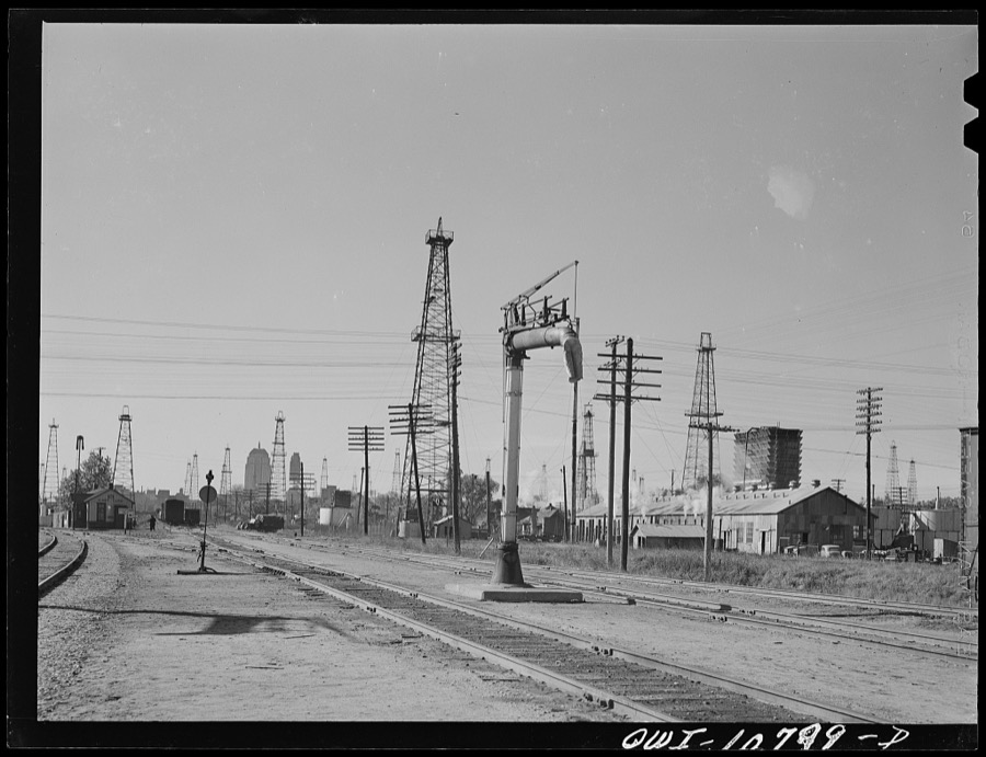
Surveyed structures

21 structures

The vanished settlements of Oklahoma County, the places these records name that are no longer on the map.
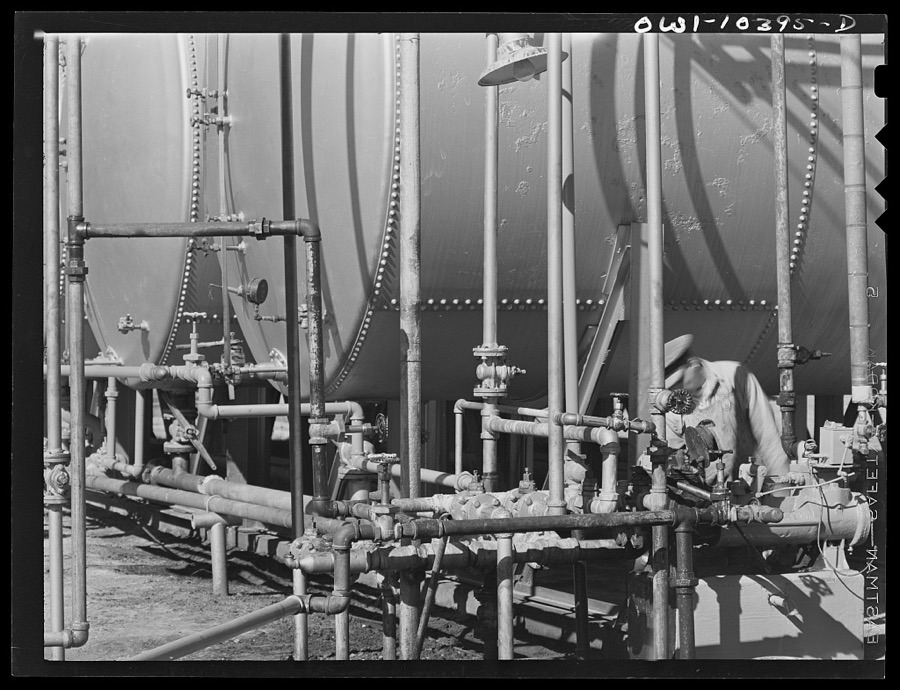
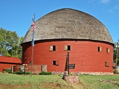
Provenance

  • Topographic sheets. USGS Historical Topographic Map Collection, county index, measured from the bulk metadata.
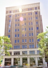
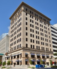
  • Fire insurance maps. Library of Congress Sanborn collection, faceted to this county.
  • Photographs. Each place queried individually against the Library of Congress Prints and Photographs search.
  • Wildfire. Short, Karen C. 2022. Spatial wildfire occurrence data for the United States, 1992-2020 [FPA_FOD_20221014]. 6th Edition. Fort Collins, CO: Forest Service Research Data Archive. https://doi.org/10.2737/RDS-2013-0009.6 Collected with United States Government funding and usable without additional permissions or fees.
  • Mines and quarries. USGS Mineral Resources Data System (MRDS) https://mrdata.usgs.gov/mrds/ A work of the United States government, no copyright under 17 U.S.C. 105.
  • Storms. NOAA National Centers for Environmental Information, Storm Events Database https://www.ncei.noaa.gov/stormevents/ A work of the United States government, no copyright under 17 U.S.C. 105. Narratives are quoted verbatim from the National Weather Service report and are not edited or summarised.