 Block
Midwest City, Oklahoma
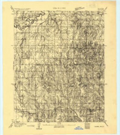
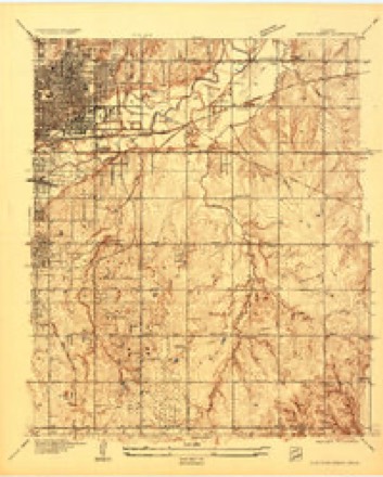
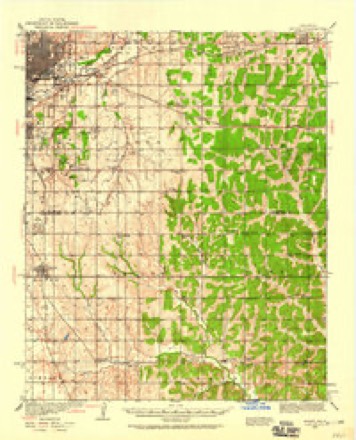
18 topographic sheets cover this place, the earliest surveyed in 1892 and the latest in 1995. It stands in the Oklahoma City Southeast census division. It lies in ZIP code area 73110. The Survey maps it on the Midwest City quadrangle. 58,409 people lived here at the 2020 count. It stands 1,253 feet above sea level.
Population over time
2 figuresMidwest City grew from 54,371 to 58,409 between 2010 and 2020. These are the recorded population figures Wikidata holds for this place, reached through the Geographic Names Information System number this page is keyed on rather than by name, so they belong to this place and not to another of the same name. Most are census counts, but not all are: an early figure may be a founding or settlement estimate, and an estimate published within five years of a census is left out. The change column is computed, and is left blank where more than 20 years separate a figure from the one before it, because a gap that long is not a change between two counts.
| Year | People | Change |
|---|---|---|
| 2010 | 54,371 | |
| 2020 | 58,409 | +4,038 (+7%) |
Topographic sheets covering this place
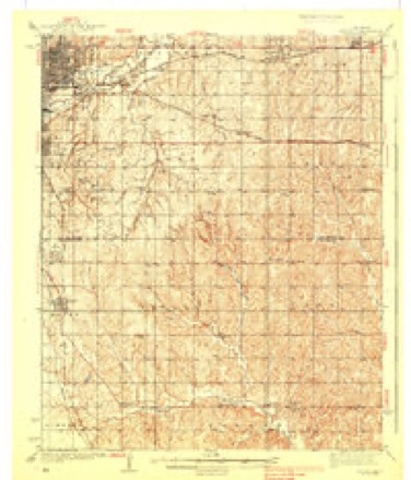
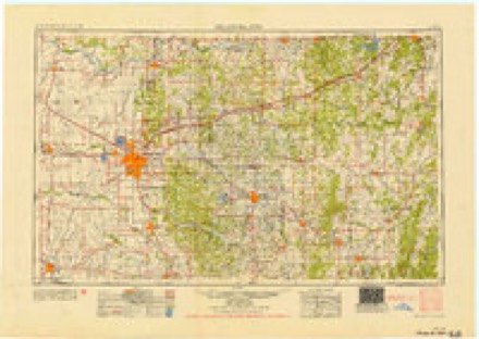
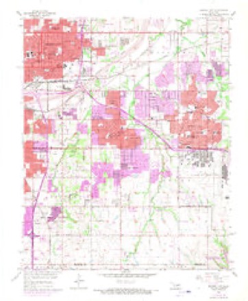
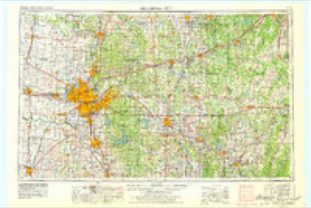
12 surveys from 18 printed sheetsMatched by testing this settlement's coordinate against the published boundary of every sheet in the United States Geological Survey's historical collection. Each opens the scanned sheet at the Survey.
- 1892 USGS Moore quadrangle1:62500
- 1898 USGS Purcell quadrangle1:125000
- 1934 USGS Crutcho Creek quadrangle1:24000
- 1934 USGS Moore quadrangle1:62500
- 1938 USGS Moore quadrangle1:62500, 2 printings
- 1954 USGS Oklahoma City quadrangle1:250000
- 1956 USGS Midwest City quadrangle1:24000, 3 printings
- 1957 USGS Oklahoma City quadrangle1:250000, 3 printings
- 1963 USGS Oklahoma City quadrangle1:250000
- 1985 USGS Oklahoma City South quadrangle1:100000, 2 printings
- 1986 USGS Midwest City quadrangle1:24000
- 1995 USGS Midwest City quadrangle1:24000
Fires near this place
1 since 2009Regional context, not property-specific evidence. The federal wildfire occurrence database lists 1 fire within 5 miles of Midwest City in 2009, burning about 3,475 acres in total. None started naturally. None was recorded as arson. Distance is straight-line from the map coordinates, so a fire counted here may appear on a neighbouring settlement's page as well.
| Reported cause | Fires |
|---|---|
| Missing data/not specified/undetermined | 1 |
The most recent of them, most recent first, with the day each was reported and the service that recorded it.
| Date | Cause | Size | Reported by | Name on the report |
|---|---|---|---|---|
| 9 April 2009 | Missing data/not specified/undetermined | 3,475 acres | Oklahoma Division of Forestry | CHOCTAW |
Settlements close enough to share some of these fires:
Mines and quarries near this place
10 within 5 milesRegional context, not property-specific evidence. The federal mineral resources record lists 10 workings within 5 miles of Midwest City: 7 past producers, 3 producers. 3 still produce. What was taken out: Sand and Gravel, Construction. Distance is straight-line from the map coordinates, so a quarry counted here may appear on a neighbouring settlement's page as well.
| Where | Site | Commodity | Status | Recorded |
|---|---|---|---|---|
| Dolese Sand Pit | Sand and Gravel, Construction | Producer | ||
| Four Star Sand Co Sand-Pit | Sand and Gravel, Construction | Producer | ||
| Spencer Pit and Plant | Sand and Gravel, Construction | Producer | ||
| Unknown Sand Pit | Sand and Gravel, Construction | Past Producer | ||
| Unknown Sand Pit | Sand and Gravel, Construction | Past Producer | ||
| Unknown Sand Pit | Sand and Gravel, Construction | Past Producer | ||
| Unknown Sand Pit | Sand and Gravel, Construction | Past Producer | ||
| Unknown Sand Pit | Sand and Gravel, Construction | Past Producer | ||
| Unknown Sand Pit | Sand and Gravel, Construction | Past Producer | ||
| Unknown Sand Pit | Sand and Gravel, Construction | Past Producer |
Storms near this place
60 of 78 shownRegional context, not property-specific evidence. The National Weather Service names Midwest City in 78 storm reports between 1996 and 2026: 46 hail, 21 thunderstorm wind, 6 flash flood, 2 lightning. No death or injury is recorded in these reports. Each account below is quoted exactly as the forecast office filed it, from the NOAA Storm Events Database, and each date opens the federal record of that event.
| When | Event | Place named | Harm | What the report says |
|---|---|---|---|---|
| May 2008 | Hail | Midwest City | $100,000 | The large hail damaged numerous vehicles. Approximately 150 sheriff department vehicles sustained some damage, including five that had the windows busted out. The David Stanley Dodge car dealership sustained heavy damages. Five hundred vehicles sustained damage, including at least thirty with broken windshields. Monetary damages were estimated. |
| June 2024 | Thunderstorm Wind | Midwest City | $30,000 | Social media image showing the exterior wall of a strip mall collapsed due to thunderstorm wind. Time is radar estimated. |
| June 2024 | Thunderstorm Wind | Midwest City | $25,000 | Significant damage to the roof of a Braum's Ice Cream and Dairy Store due to thunderstorm wind. This included a large section of roof covering and decking blown off. Time is radar estimated. |
| April 2000 | Flash Flood | Midwest City | $24,000 | Numerous streets were closed due to high water, and 6 vehicles were stranded in 2 feet of water. |
| July 2009 | Thunderstorm Wind | Midwest City | $12,000 | Minor roof damage was reported at Midwest City High School. Monetary damages were estimated. |
| May 2024 | Thunderstorm Wind | Midwest City | $10,000 | Powerlines and tree limbs blown down around the community of Midwest City. Time is radar estimated. |
| September 1998 | Lightning | Midwest City | $10,000 | no account filed |
| July 2009 | Thunderstorm Wind | Midwest City | $7,000 | Glass doors were blown in near SE 29th Street and Air Depot Boulevard. Monetary damages were estimated. |
| June 2024 | Thunderstorm Wind | Midwest City | $5,000 | Social media images showing multiple power poles blown down near the intersection of Air Depot Boulevard and Reno Avenue. Time is radar estimated. |
| May 2024 | Thunderstorm Wind | Midwest City | $5,000 | Social media image showing a large tree (12+ inches in diameter) snapped in half, laying on a house. Time is radar estimated. |
| October 2021 | Thunderstorm Wind | Midwest City | $5,000 | Power poles downed, trees uprooted. |
| July 2011 | Thunderstorm Wind | Midwest City | $3,000 | A few power lines were downed in and around Midwest City. Monetary damages were estimated. |
| May 1999 | Tornado (F0) | Midwest City | $3,000 | Tornado A11. See summary at end of May 3rd storm reports. |
| July 2005 | Thunderstorm Wind | Midwest City | $2,500 | Tree limbs and power lines were downed. Some of which blocked roadways. Some large trees were also downed. |
| July 2005 | Thunderstorm Wind | Midwest City | $1,500 | Six inch diameter tree limbs and power lines were downed near the corner of Mockingbird Lane and Reno Avenue. |
| May 2020 | Thunderstorm Wind | Midwest City | $1,000 | Powerline downed. |
| July 2020 | Thunderstorm Wind | Midwest City | $1,000 | Power lines reported downed in at least two locations in Midwest City. |
| March 2026 | Hail | Midwest City | - | An image from a broadcast media storm chaser was shared on social media. The location is approximate, and the event time is estimated based on radar observations. |
| April 2026 | Thunderstorm Wind | Midwest City | - | A social media report of trees blown down near the intersection of Reno Avenue and Woodside Drive. The event time is estimated based on radar observations. |
| May 2025 | Hail | Midwest City | - | The report was relayed through mPING. |
| May 2025 | Hail | Midwest City | - | The report was relayed through mPING. |
| May 2025 | Hail | Midwest City | - | The report was relayed through mPING. |
| May 2025 | Hail | Midwest City | - | The report was relayed through mPING. The event time is adjusted based on radar observations. |
| May 2025 | Hail | Midwest City | - | The report was relayed through mPING. The event time is adjusted based on radar observations. |
| May 2025 | Hail | Midwest City | - | The report was relayed through mPING. |
| May 2025 | Hail | Midwest City | - | The report was relayed through mPING. |
| June 2025 | Hail | Midwest City | - | The report was relayed through mPING. |
| August 2025 | Hail | Midwest City | - | The report was relayed through mPING. |
| October 2025 | Hail | Midwest City | - | The report was relayed through Spotter Network. |
| October 2025 | Hail | Midwest City | - | The report was relayed through mPING. |
| October 2025 | Hail | Midwest City | - | The report was relayed through mPING. |
| October 2025 | Hail | Midwest City | - | The report was relayed through mPING. |
| October 2025 | Hail | Midwest City | - | The report was relayed through Spotter Network. |
| November 2024 | Tornado (EFU) | Midwest City | - | A brief Tornado Debris Signature (TDS) was observed on KTLX radar in Midwest City. No damage was reported, so the path is estimated to have likely occurred in a wooded area just west of Southeast 10th Street and Post Road. |
| May 2024 | Hail | Midwest City | - | MPing report. |
| June 2023 | Thunderstorm Wind | Midwest City | - | Social media image showing a 2436-inch diameter tree uprooted. Time is radar estimated. |
| April 2023 | Hail | Midwest City | - | MPing report. |
| July 2023 | Flood | Midwest City | - | Multiple roads in and around Tinker Air Force Base closed due to residual flooding. Time is estimated. |
| April 2022 | Thunderstorm Wind | Midwest City | - | Power pole downed on SE 29TH between Douglas and Post. Time estimated from radar. |
| June 2022 | Thunderstorm Wind | Midwest City | - | Tree blocking the road near Douglas and 2nd in Midwest City. |
| June 2021 | Thunderstorm Wind | Midwest City | - | Downed power lines in multiple locations, time radar estimated. |
| June 2019 | Flash Flood | Midwest City | - | Car was stranded in high water. |
| July 2018 | Hail | Midwest City | - | Reported via mping. |
| March 2015 | Flash Flood | Midwest City | - | Heavy rainfall from thunderstorms resulted in several inches of water across roadways in and around Midwest City. No damage information was available. |
| April 2014 | Hail | Midwest City | - | The hail was reported at Douglas and east Reno. |
| June 2013 | Flash Flood | Midwest City | - | Training supercells led to urban flooding in Midwest City. No information regarding injuries or property damage were available. |
| May 2013 | Thunderstorm Wind | Midwest City | - | Public estimated gusts to 70 mph. |
| May 2013 | Hail | Midwest City | - | Reported at 29th and Douglas. |
| October 2011 | Hail | Midwest City | - | The hail was reported near SE 15th Street and Westminster Road. |
| May 2010 | Hail | Midwest City | - | The hail was reported near the intersection of Reno Avenue and Douglas Boulevard. |
| May 2009 | Lightning | Midwest City | - | Lightning struck four homes, sparking a fire that caused substantial damage to the residences. Four firefighters were injured while responding to the fires, although the injuries were not serious. Monetary damage estimates were not available. |
| July 2009 | Hail | Midwest City | - | Just larger than baseball-size hail was reported near Midwest City and the Hospital. |
| November 2008 | Hail | Midwest City | - | The hail was reported at the intersection of SE 15th and Air Depot Road. |
| November 2008 | Hail | Midwest City | - | The hail was reported at the intersection of SE 15th street and Post Road. |
| April 2008 | Hail | Midwest City | - | Pea to penny size hail covered the ground at Interstate 40 and mile marker 168. |
| May 2008 | Hail | Midwest City | - | The hail was reported just south of Midwest City Hospital on 15th and Midwest Boulevard. |
| May 2008 | Hail | Midwest City | - | Three inch diameter hail was reported halfway between Midwest and Douglas Boulevards.Golf-ball size hail was reported near Interstate 240 and Sooner Road, as well as near 19th and Air Depot. |
| May 2008 | Hail | Midwest City | - | The hail was reported near Douglas Boulevard and 10th street. Baseball size hail was reported near NE 10th and Midwest Boulevard. |
| June 2007 | Hail | Midwest City | - | The hail was reported at I-240 and Douglas. |
| May 2004 | Hail | Midwest City | - | Hail was observed at the intersection of Reno Avenue and Midwest Boulevard. |
Nearest settlements
The eight closest, with where each one stands in the county. Distances are straight-line, computed from the Geographic Names Information System coordinates.
| Map | Place | Distance | Sheets |
|---|---|---|---|
| Del City | 2.4 miles | 18 | |
| Midway Village | 2.7 miles | 18 | |
| Smith Village | 3.2 miles | 18 | |
| Forest Park | 4.6 miles | 17 | |
| Nicoma Park | 4.8 miles | 15 | |
| Spencer | 5.2 miles | 17 | |
| Valley Brook | 5.6 miles | 18 | |
| Flynn | 5.8 miles | 18 |
Elsewhere
Matched on this settlement's Geographic Names Information System number rather than its name, so it cannot be a different place of the same name in another state.
| Wikipedia article on Midwest City | An encyclopaedic summary. Its text is share-alike, so it is linked here rather than copied. |
| Wikidata item Q985298 | The structured record the population and elevation above come from. Public domain (CC0). |
Provenance
This settlement is recorded in the Geographic Names Information System as feature 1095384. The sheet list is computed by point-in-boundary test against the United States Geological Survey's historical topographic inventory. Both are works of the United States government and carry no copyright under 17 U.S.C. 105.
Wildfire. Short, Karen C. 2022. Spatial wildfire occurrence data for the United States, 1992-2020 [FPA_FOD_20221014]. 6th Edition. Fort Collins, CO: Forest Service Research Data Archive. https://doi.org/10.2737/RDS-2013-0009.6 Collected with United States Government funding and usable without additional permissions or fees.
Mines and quarries. USGS Mineral Resources Data System (MRDS) https://mrdata.usgs.gov/mrds/ A work of the United States government, no copyright under 17 U.S.C. 105.
Storms. NOAA National Centers for Environmental Information, Storm Events Database https://www.ncei.noaa.gov/stormevents/ A work of the United States government, no copyright under 17 U.S.C. 105. Narratives are quoted verbatim from the National Weather Service report and are not edited or summarised.