 Block
Crescent, Oklahoma
13 topographic sheets cover this place, the earliest surveyed in 1892 and the latest in 1990. It stands in the Crescent census division. It lies in ZIP code area 73028. The Survey maps it on the Crescent quadrangle. 1,299 people lived here at the 2020 count. It stands 1,142 feet above sea level.
Population over time
2 figuresCrescent fell from 1,411 to 1,299 between 2010 and 2020. These are the recorded population figures Wikidata holds for this place, reached through the Geographic Names Information System number this page is keyed on rather than by name, so they belong to this place and not to another of the same name. Most are census counts, but not all are: an early figure may be a founding or settlement estimate, and an estimate published within five years of a census is left out. The change column is computed, and is left blank where more than 20 years separate a figure from the one before it, because a gap that long is not a change between two counts.
| Year | People | Change |
|---|---|---|
| 2010 | 1,411 | |
| 2020 | 1,299 | -112 (-8%) |
Topographic sheets covering this place
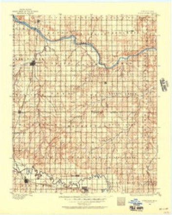
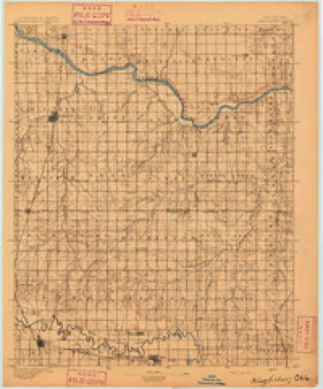
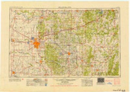
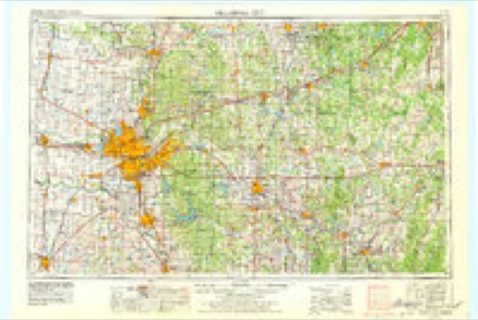
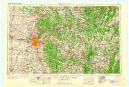
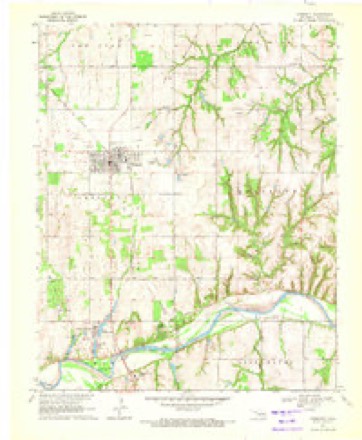
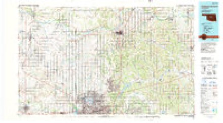
7 surveys from 13 printed sheetsMatched by testing this settlement's coordinate against the published boundary of every sheet in the United States Geological Survey's historical collection. Each opens the scanned sheet at the Survey.
- 1892 USGS Kingfisher quadrangle1:125000
- 1895 USGS Kingfisher quadrangle1:125000, 4 printings
- 1954 USGS Oklahoma City quadrangle1:250000
- 1957 USGS Oklahoma City quadrangle1:250000, 3 printings
- 1963 USGS Oklahoma City quadrangle1:250000
- 1970 USGS Crescent quadrangle1:24000, 2 printings
- 1990 USGS Oklahoma City North quadrangle1:100000
Mines and quarries near this place
7 within 5 milesRegional context, not property-specific evidence. The federal mineral resources record lists 7 workings within 5 miles of Crescent: 5 past producers, 2 producers. 2 still produce. What was taken out: Sand and Gravel, Construction, Clay. Distance is straight-line from the map coordinates, so a quarry counted here may appear on a neighbouring settlement's page as well.
| Where | Site | Commodity | Status | Recorded |
|---|---|---|---|---|
| Unknown Shale Pit | Clay | Past Producer | ||
| Crescent Sand Co Sand Pit | Sand and Gravel, Construction | Producer | ||
| John Mcconnell | Sand and Gravel, Construction | Producer | ||
| Unknown Gravel Pit | Sand and Gravel, Construction | Past Producer | ||
| Unknown Sand Pit | Sand and Gravel, Construction | Past Producer | ||
| Unknown Sand Pit | Sand and Gravel, Construction | Past Producer | ||
| Unknown Sand Pit | Sand and Gravel, Construction | Past Producer |
Storms near this place
51 since 1994Regional context, not property-specific evidence. The National Weather Service names Crescent in 51 storm reports between 1994 and 2024: 26 hail, 17 thunderstorm wind, 7 tornado, 1 flash flood. The reports record 1 death and 26 injuries. Each account below is quoted exactly as the forecast office filed it, from the NOAA Storm Events Database, and each date opens the federal record of that event.
| When | Event | Place named | Harm | What the report says |
|---|---|---|---|---|
| May 1999 | Tornado (F4) | Crescent | 1 killed, 13 hurt, $10,000,000 | Tornado B20 (Logan County portion). On January 10,2001 tornadoes B20 and B21 were combined and will be identified as B20. Tornado B21 no longer exists. Please see summary at end of May 3rd storm reports for more information. |
| May 1999 | Tornado (F3) | Crescent | 13 hurt, $10,000,000 | Tornado G5. The beginning and ending times for this tornado were incorrectly listed in the original version of May Storm Data. The beginning time should be 2156 CST rather than 2150 CST, and the ending time should be 2218 CST rather than 2240 CST. Refer to the summary portion at the end of the May 3, 1999 storm reports of the original version of May Storm Data for more information. |
| April 1994 | Hail | Crescent | $50,000 | no account filed |
| June 2024 | Thunderstorm Wind | Crescent | $25,000 | Relayed image showing a detached metal garage destroyed. Time is radar estimated. |
| July 1997 | Thunderstorm Wind | Crescent | $25,000 | The east side of town was hardest hit by severe thunderstorm winds. Several homes and businesses were damaged by falling trees, a railroad crossing light was blown down, a gas pump was blown over, and a carwash canopy was destroyed by the severe thunderstorm winds. Numerous trees and power lines were also blown down. |
| September 1999 | Thunderstorm Wind | Crescent | $22,000 | no account filed |
| May 2020 | Thunderstorm Wind | Crescent | $10,000 | Tree damage in Crescent with some roof and siding damage on the northeast side of town. Time estimated by radar. |
| June 2024 | Thunderstorm Wind | Crescent | $5,000 | Power poles blown down along State Highway 74C near the community of Cresent. Time is radar estimated. |
| October 2021 | Thunderstorm Wind | Crescent | $5,000 | Damage to power lines. |
| May 2019 | Tornado (EF1) | Crescent | $3,000 | Oklahoma City television coverage broadcast a tornado that developed 3 miles west of Crescent and moved north-northeast to 5 miles north of Crescent. Emergency Management officials reported that the roof was blown off a barn near County Road 72 and Rockwell Avenue. No other damage was reported. |
| August 2023 | Thunderstorm Wind | Crescent | $2,000 | Power pole blown over, leaning on adjacent poles. Time is radar estimated. |
| September 2012 | Hail | Crescent | $2,000 | COOP observer reported 1.75 hail near Crescent Park. Some damage was reported to automobiles. |
| May 1999 | Tornado (F1) | Crescent | $2,000 | Tornado B19. See summary at end of May 3rd storm reports. |
| August 2022 | Thunderstorm Wind | Crescent | $1,000 | Shingles blown off a roof. |
| September 1998 | Tornado (F0) | Crescent | $1,000 | no account filed |
| May 1999 | Tornado (F0) | Crescent | $500 | Tornado G3 (Logan County portion). See summary at end of May 3rd storm reports. |
| July 1996 | Thunderstorm Wind | Crescent | $500 | no account filed |
| June 1996 | Thunderstorm Wind | Crescent | $10 | no account filed |
| May 2023 | Hail | Crescent | - | MPing report. |
| May 2023 | Hail | Crescent | - | MPing report. |
| May 2019 | Flash Flood | Crescent | - | Bar ditches are full of water on Hwy 74 just south of Crescent. Also along Hwy 74C, but is passable. |
| May 2019 | Tornado (EFU) | Crescent | - | A well-developed tornado formed south of the ongoing tornado to the northwest of Crescent. No damage was reported and the path was estimated. |
| May 2010 | Hail | Crescent | - | The Logan county emergency manager reported hail from 2.75 to 3.5 inches. He reported the hail was located from 4 miles north of Crescent to 5 miles south of Crescent. Numerous windows were broken at homes on the north side of Crescent, as well as numerous car windows. Monetary damage estimates were not available. |
| July 2009 | Hail | Crescent | - | The hail was reported on Highway 74. |
| October 1994 | Hail | Crescent | - | Severe thunderstorms in portions of northwest, north central, and central Oklahoma produced hail as large as golf balls and isolated wind gusts up to 70 mph. After several storms tracked across northcentral Oklahoma, flash flooding developed in Garfield and Kingfisher Counties. In Garfield County, water covered US Highway 81 two miles north of Bison and State Highway 132, 4 miles south of Drummond, causing several vehicles to stall. Three miles south of Waukomis US Highway 81 was closed while crews cleared 18 inches of hail and water from the roadway. In Kingfisher County, US Highway 81 was flooded 1 mile south of Hennessey. |
| May 2021 | Thunderstorm Wind | Crescent | - | no account filed |
| May 2017 | Hail | Crescent | - | no account filed |
| March 2012 | Hail | Crescent | - | no account filed |
| May 2011 | Hail | Crescent | - | no account filed |
| April 2010 | Hail | Crescent | - | no account filed |
| May 2006 | Hail | Crescent | - | no account filed |
| August 2006 | Thunderstorm Wind | Crescent | - | no account filed |
| April 2004 | Hail | Crescent | - | no account filed |
| April 2003 | Thunderstorm Wind | Crescent | - | no account filed |
| May 2002 | Hail | Crescent | - | no account filed |
| June 2002 | Thunderstorm Wind | Crescent | - | no account filed |
| March 2001 | Hail | Crescent | - | no account filed |
| July 2001 | Hail | Crescent | - | no account filed |
| July 2000 | Thunderstorm Wind | Crescent | - | no account filed |
| April 1998 | Hail | Crescent | - | no account filed |
| July 1997 | Hail | Crescent | - | no account filed |
| June 1996 | Thunderstorm Wind | Crescent | - | no account filed |
| May 1996 | Hail | Crescent | - | no account filed |
| October 1996 | Hail | Crescent | - | no account filed |
| June 1995 | Hail | Crescent | - | no account filed |
| April 1994 | Hail | Crescent | - | no account filed |
| April 1994 | Hail | Crescent | - | no account filed |
| April 1994 | Hail | Crescent | - | no account filed |
| April 1994 | Hail | Crescent | - | no account filed |
| April 1994 | Thunderstorm Wind | Crescent | - | no account filed |
| April 1994 | Hail | Crescent | - | no account filed |
Nearest settlements
The eight closest, with where each one stands in the county. Distances are straight-line, computed from the Geographic Names Information System coordinates.
| Map | Place | Distance | Sheets |
|---|---|---|---|
| Crescent Springs | 3.9 miles | 13 | |
| Indian Springs | 4.1 miles | 13 | |
| Cimarron City | 4.4 miles | 13 | |
| Cedar Valley | 6.3 miles | 13 | |
| Lovell | 7.5 miles | 9 | |
| Midway | 8.9 miles | 9 | |
| Lawrie | 9.1 miles | 10 | |
| Guthrie | 10.3 miles | 10 |
Elsewhere
Matched on this settlement's Geographic Names Information System number rather than its name, so it cannot be a different place of the same name in another state.
| Wikipedia article on Crescent | An encyclopaedic summary. Its text is share-alike, so it is linked here rather than copied. |
| Wikidata item Q2355030 | The structured record the population and elevation above come from. Public domain (CC0). |
Provenance
This settlement is recorded in the Geographic Names Information System as feature 1091814. The sheet list is computed by point-in-boundary test against the United States Geological Survey's historical topographic inventory. Both are works of the United States government and carry no copyright under 17 U.S.C. 105.
Mines and quarries. USGS Mineral Resources Data System (MRDS) https://mrdata.usgs.gov/mrds/ A work of the United States government, no copyright under 17 U.S.C. 105.
Storms. NOAA National Centers for Environmental Information, Storm Events Database https://www.ncei.noaa.gov/stormevents/ A work of the United States government, no copyright under 17 U.S.C. 105. Narratives are quoted verbatim from the National Weather Service report and are not edited or summarised.