 Block
From the record
18 National Register listings published here, 1 of them a National Historic Landmark.
Sources: the National Register database, National Park Service
45 topographic sheets and 43 fire insurance atlases across 9 places.
18 National Register listings published here, 1 of them a National Historic Landmark.
Sources: the National Register database, National Park Service
Taken for the Office of War Information and the Farm Security Administration, who photographed the country between 1935 and 1944. Works of United States government photographers, with no known restriction on use. Each opens its catalogue record.
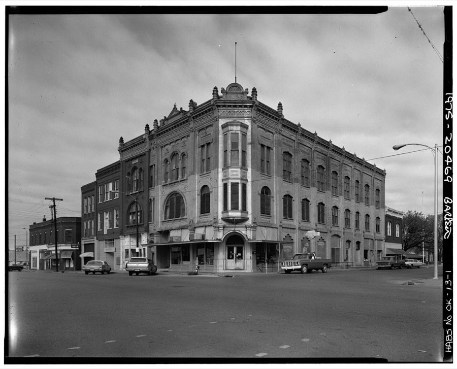
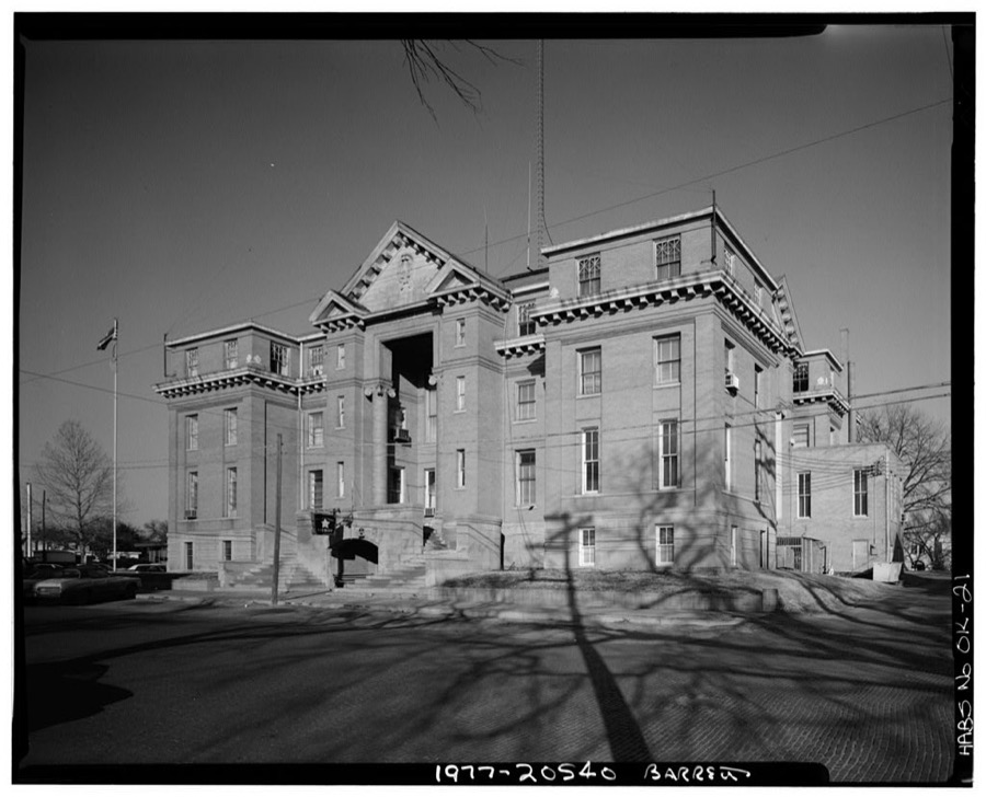
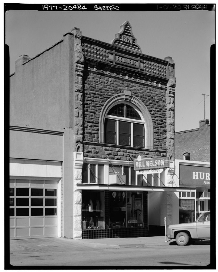
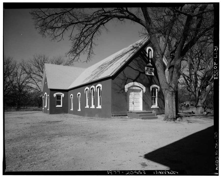

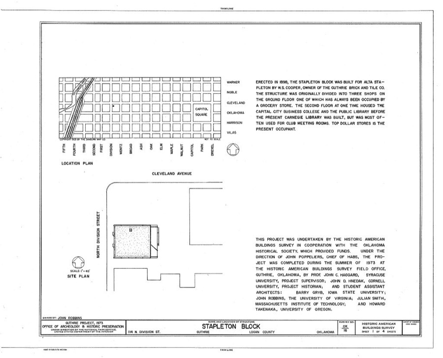
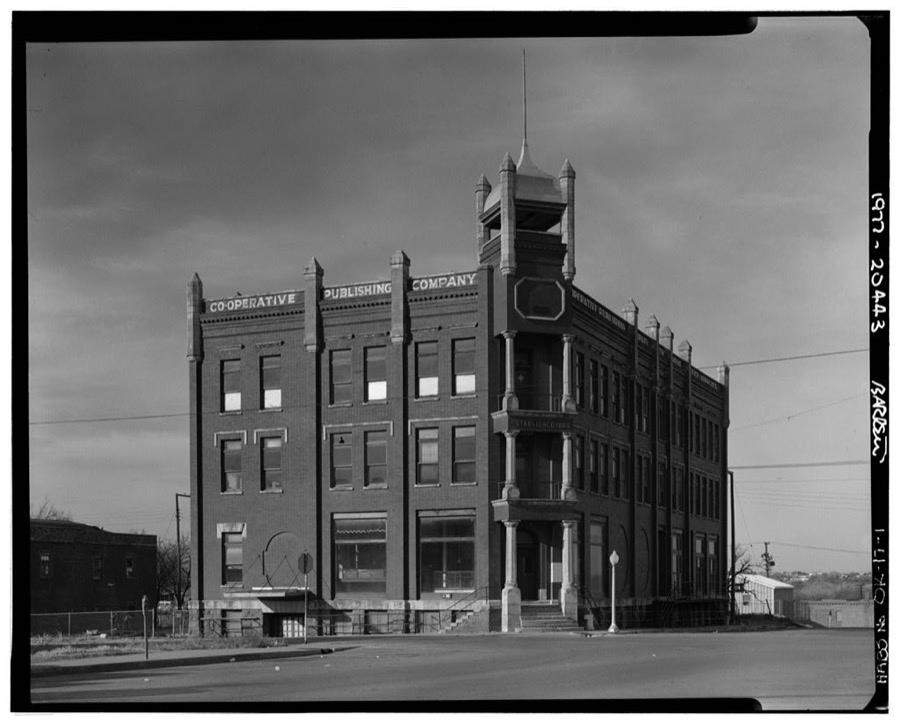
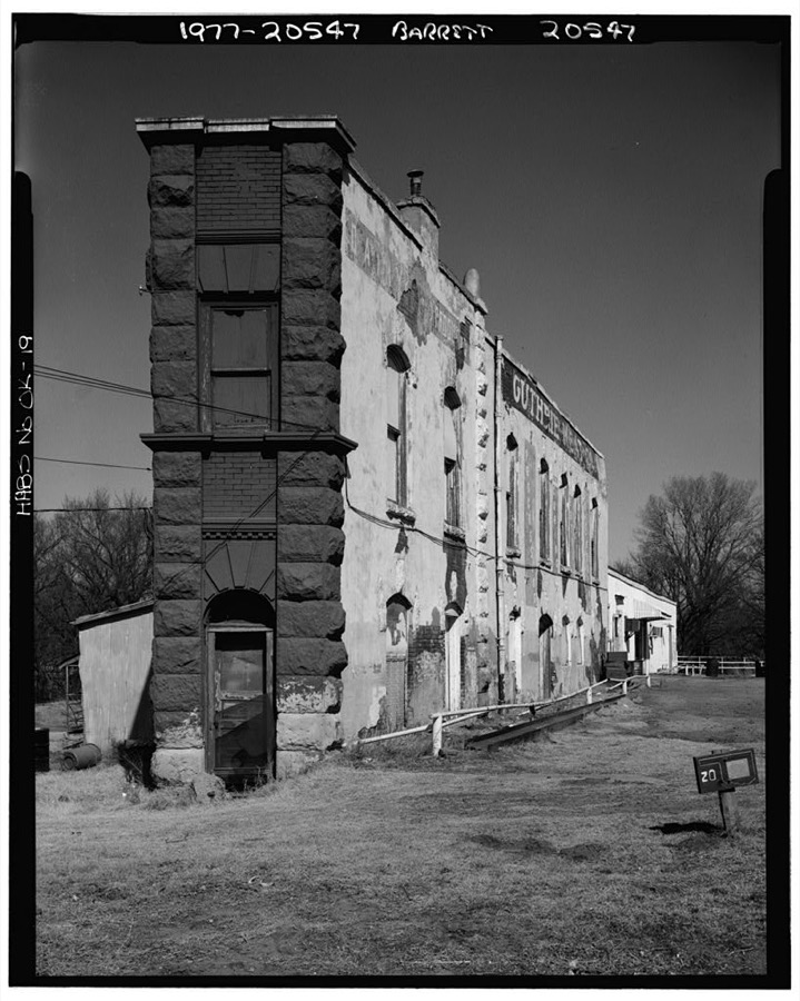
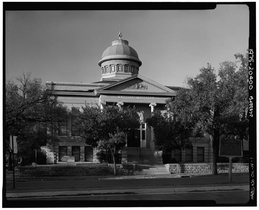
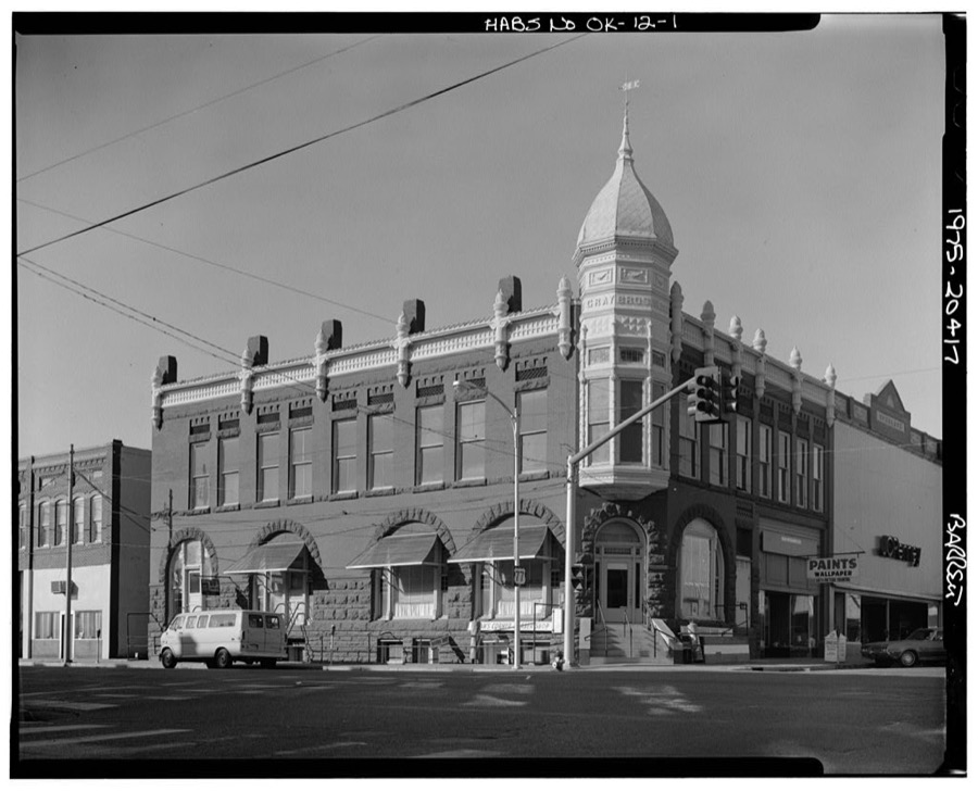
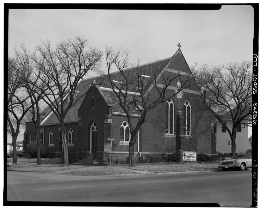
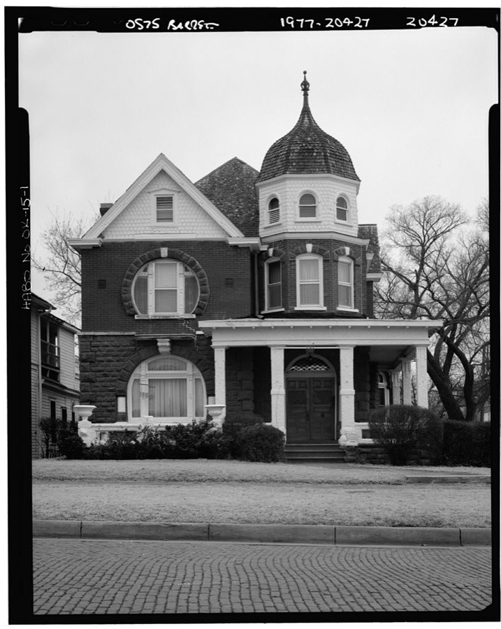
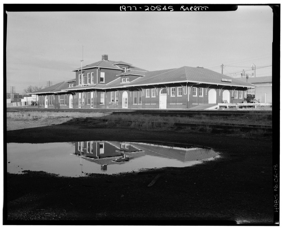
Every property in this county listed on the National Register of Historic Places, with the year it was listed and the federal nomination document.
| Photograph | Property | Type | Listed | Reference |
|---|---|---|---|---|
 | Benedictine Heights Hospital | building | 2017 | 100001869 |
 | Carnegie Library | building | 1971 | 71000666 |
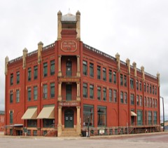 | Co-Operative Publishing Company Building | building | 1973 | 73001564 |
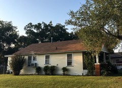 | Angie Debo House | building | 1996 | 96000379 |
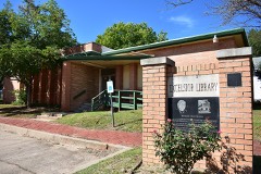 | Excelsior Library | building | 2016 | 16000087 |
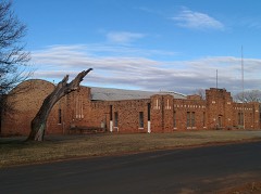 | Guthrie Armory | building | 1994 | 94001083 |
 | Guthrie Historic District | district | 1974 | 74001664 |
| Langston Jail | building | 2025 | 100011493 | |
| Langston University Cottage Row Historic District | district | 1999 | 98001593 | |
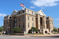 | Logan County Courthouse | building | 1984 | 84003141 |
| Melvin B. Tolson House | building | 2026 | 100012781 | |
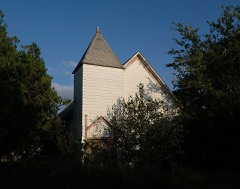 | Methodist Church of Marshall | building | 1984 | 84003143 |
| Morris House | building | 1994 | 94001082 | |
 | Mulhall United Methodist Church | building | 1984 | 84003145 |
| Oklahoma State Bank Building | building | 1984 | 84003146 | |
| Ozark Trails-Indian Meridian Obelisk | object | 2017 | 100001074 | |
 | Scottish Rite Temple | building | 1987 | 87000503 |
| St. Joseph Convent and Academy | building | 1979 | 79002000 |
Drawn when these were printed as single large sheets: the town seen from the air, and the county divided into its farms with every owner named. Each opens the original at the Library of Congress.

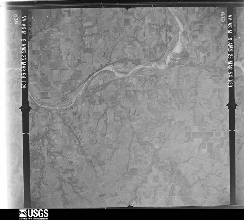
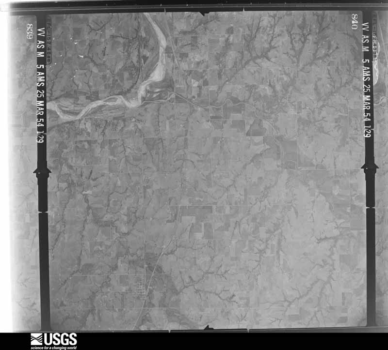
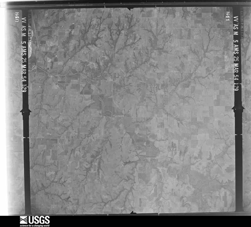
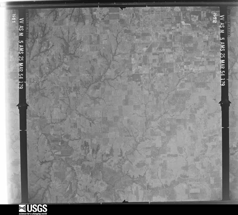
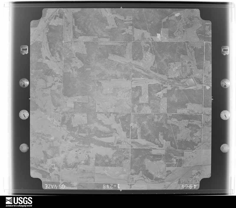
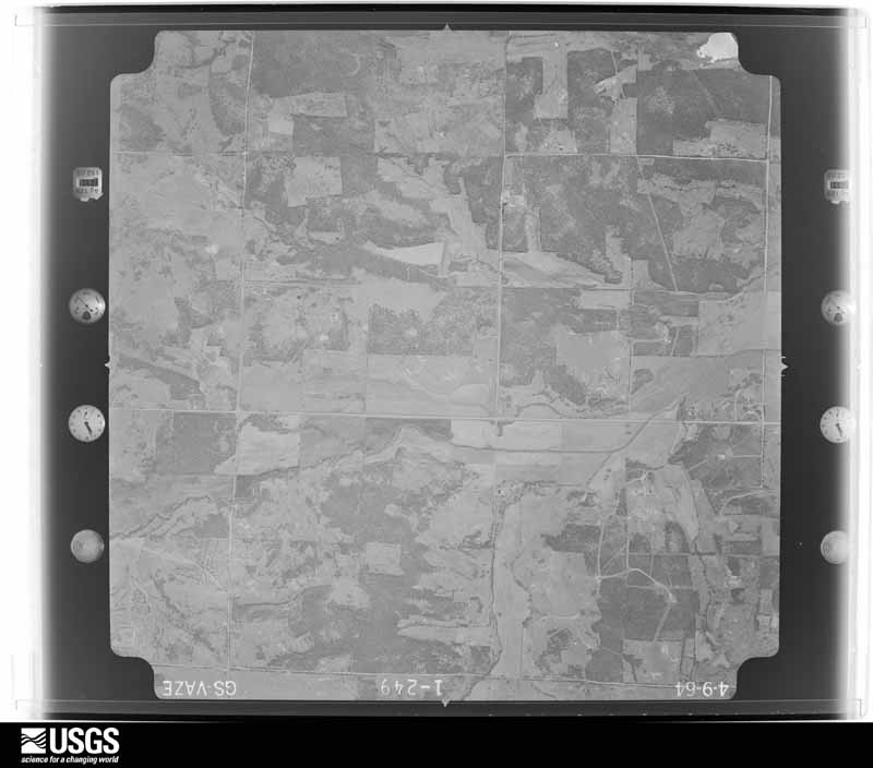
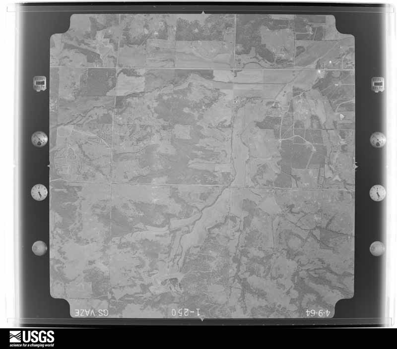
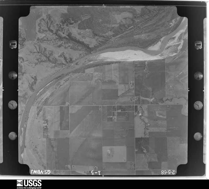
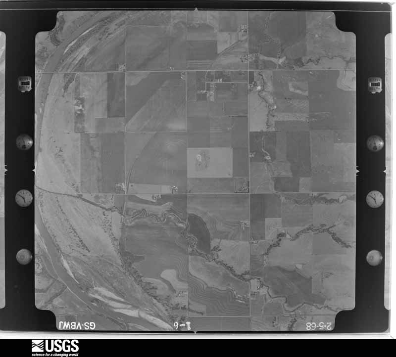
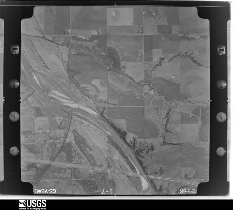
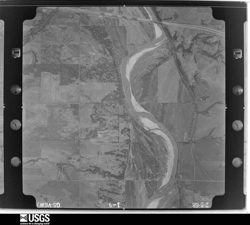
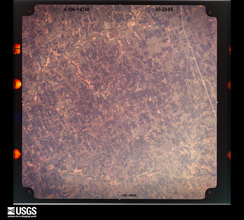
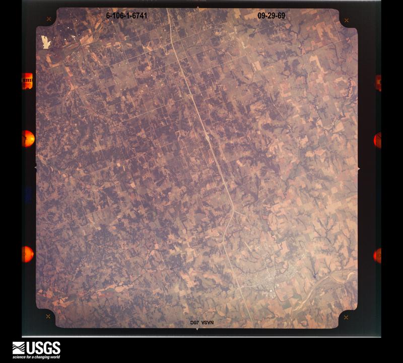
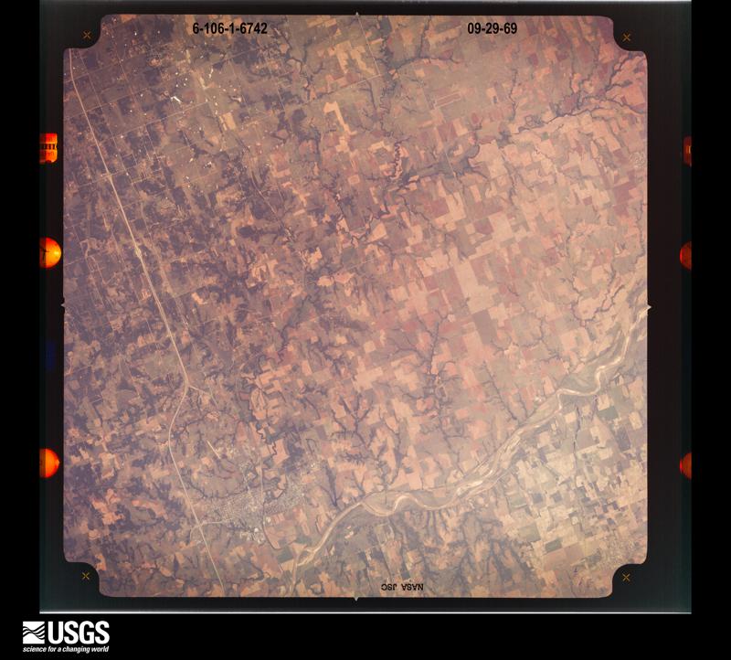
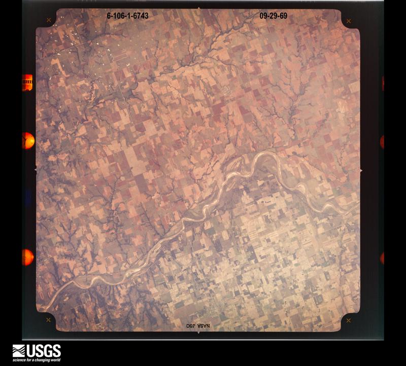
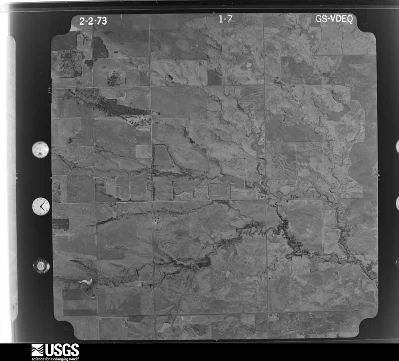
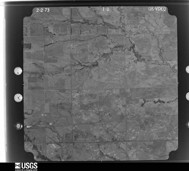
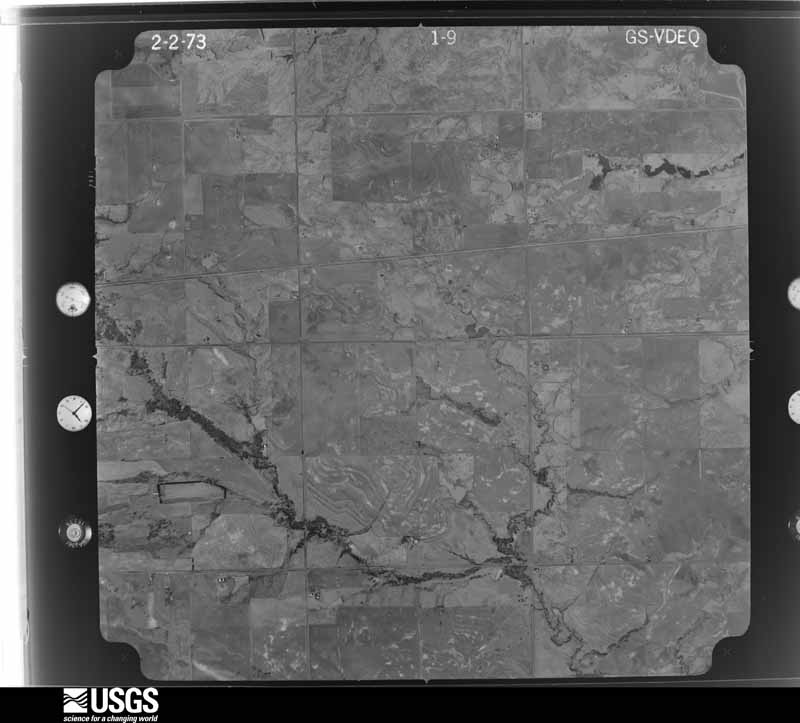
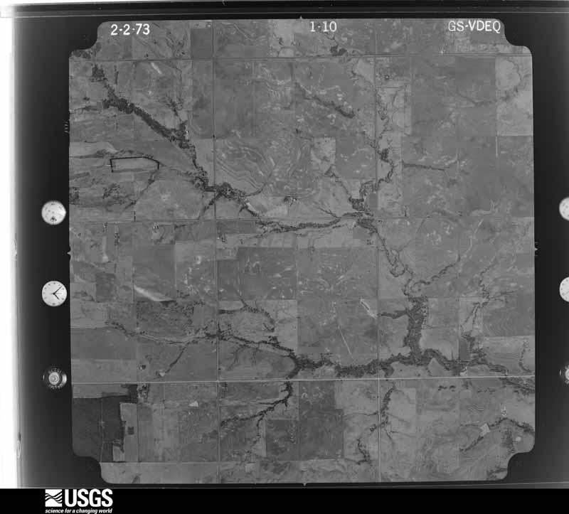
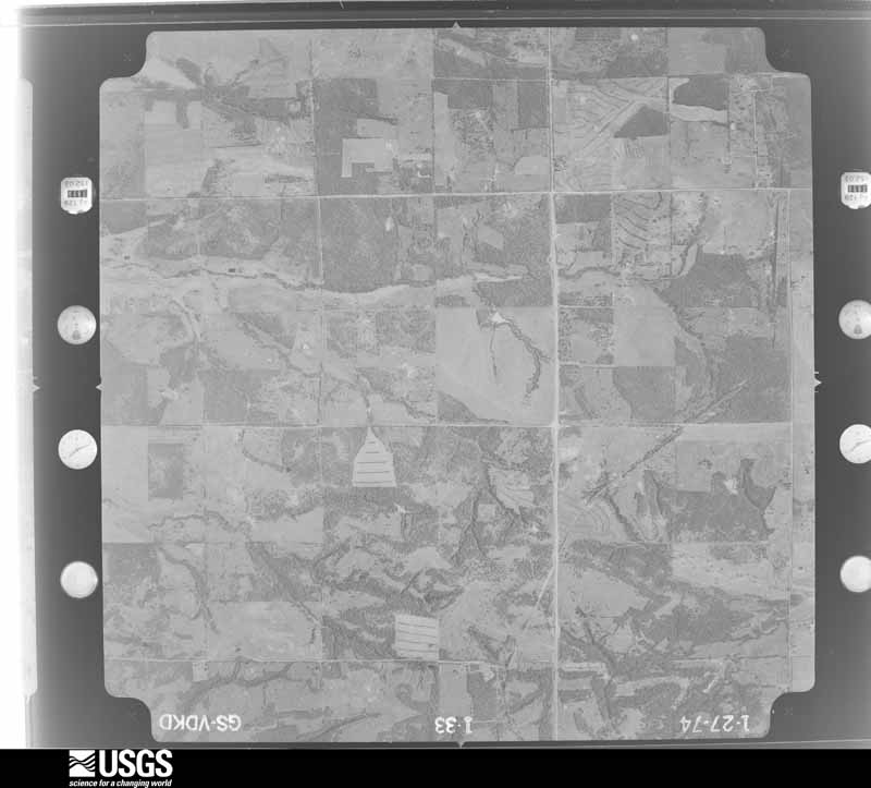
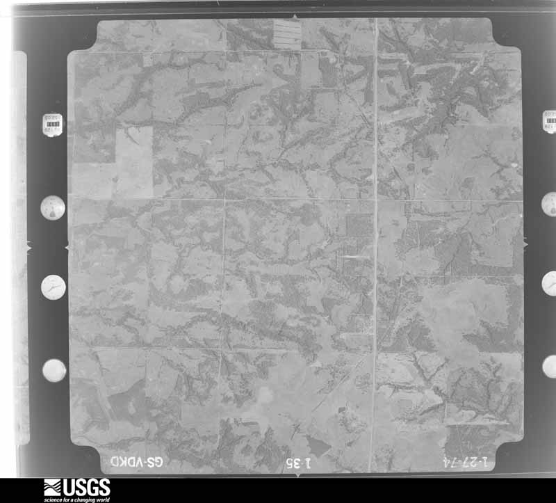
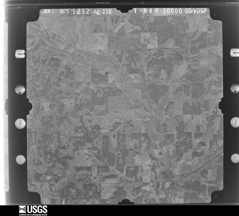
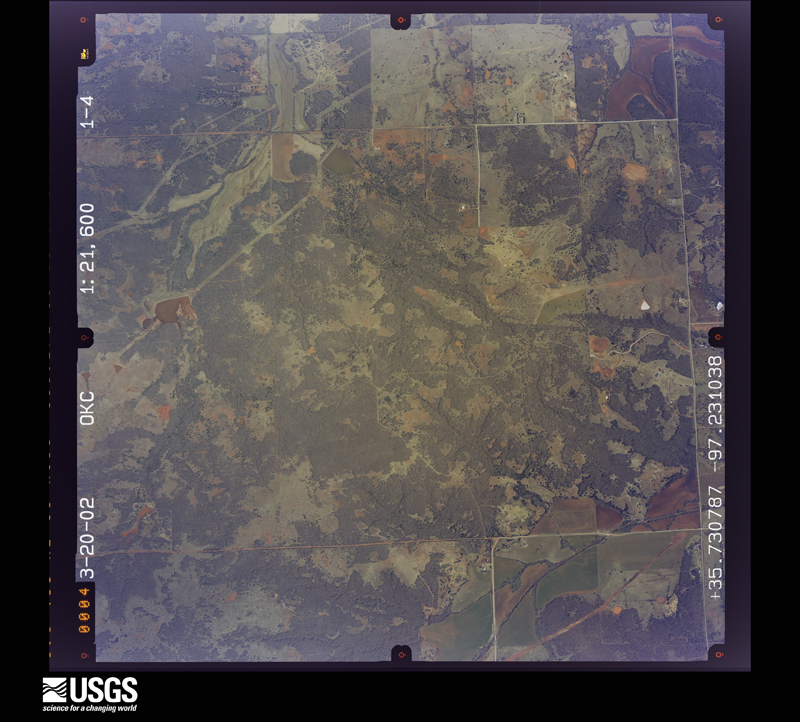
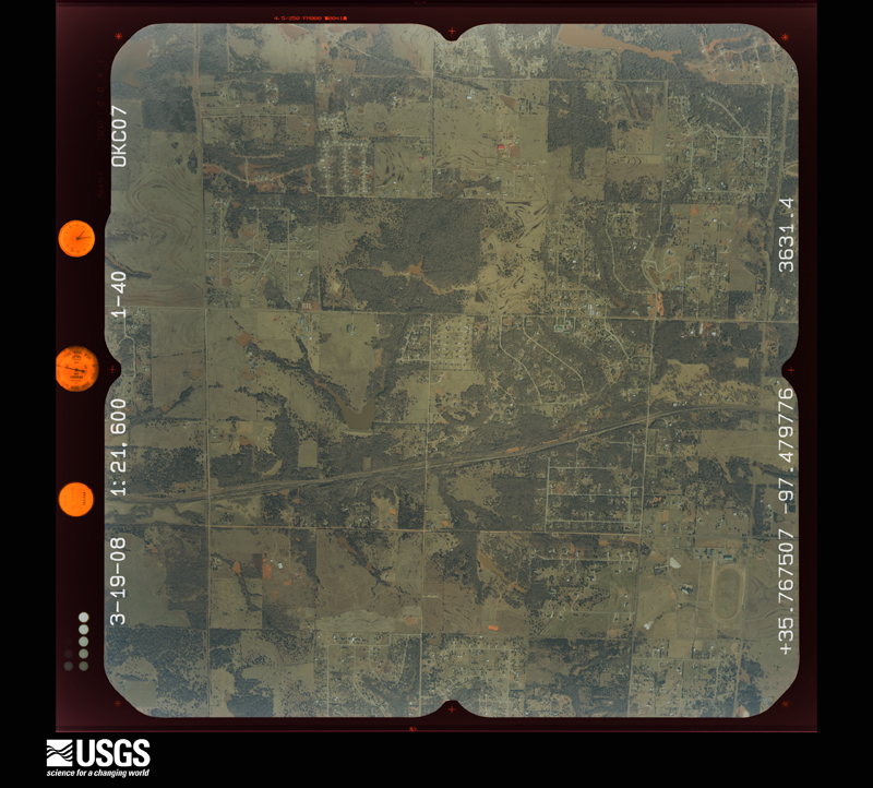
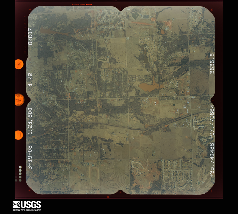
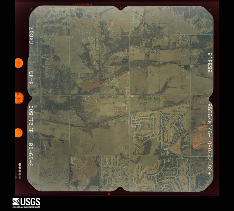
Flown by the U.S. Geological Survey between 1937 and 1989, the Aerial Photo Single Frames collection is the definitive mid-century view of the land: fields, roads and rivers as the camera saw them. The Survey holds 1,042 frames inside the rectangle that bounds this county; the 36 frames below were taken over the county itself, chosen across the decades of flights (at most four a year from that rectangle), so one flight cannot crowd out the rest. The full set is free to browse and download at EarthExplorer under the dataset Aerial Photo Single Frames.










The thermometers that kept this county's weather, and the gages that measured the flow of its streams, as the federal records hold them. The extremes below are measured values from those records, not estimates.
Who lived here in 1950, one enumeration district at a time, as the Census Bureau described each district. Each row opens its official National Archives result, with Population Schedules and ED Maps available there.
Every wildfire the federal occurrence database records inside this county: 16 of them, burning about 21,704 acres. 1 started naturally and none was recorded as arson. Each settlement page carries the fires within five miles of it.
| Reported cause | Fires |
|---|---|
| Missing data/not specified/undetermined | 14 |
| Debris and open burning | 1 |
| Natural | 1 |
The five largest, by the area the report gives. None of them was recorded as arson.
| Date | Cause | Size | Reported by | Name on the report |
|---|---|---|---|---|
| 9 April 2009 | Missing data/not specified/undetermined | 8,600 acres | Oklahoma Division of Forestry | MULHALL/PAYNE COUNTY |
| 19 September 2000 | Missing data/not specified/undetermined | 3,840 acres | Oklahoma Division of Forestry | OAKCLIFF |
| 4 May 2014 | Missing data/not specified/undetermined | 3,250 acres | Oklahoma Division of Forestry | GUTHRIE |
| 31 January 2009 | Missing data/not specified/undetermined | 1,350 acres | Oklahoma Division of Forestry | CRESENT |
| 12 January 2014 | Missing data/not specified/undetermined | 1,300 acres | Oklahoma Division of Forestry | POST ROAD FIRE |
| 1 January 2006 | Missing data/not specified/undetermined | 1,000 acres | Oklahoma Division of Forestry | GUTHRIE FIRE |
| 18 January 2015 | Missing data/not specified/undetermined | 556 acres | Oklahoma Division of Forestry | I35 SHUTDOWN |
| 8 January 2006 | Missing data/not specified/undetermined | 500 acres | Oklahoma Division of Forestry | MULHALL |
Every settlement page carries the fires within five miles of it - see the settlement index below.
The NOAA Storm Events Database holds 797 reports for this county, causing 3 deaths, 80 injuries and about $32,830,680 in recorded property damage. Each settlement page carries the reports that name it.
| Kind of event | Reports |
|---|---|
| Hail | 417 |
| Thunderstorm Wind | 287 |
| Tornado | 62 |
| Flash Flood | 20 |
| Lightning | 5 |
| Wildfire | 2 |
| Heavy Rain | 2 |
| Flood | 2 |
The most serious of them, by death, then injury, then recorded damage. The accounts are quoted exactly as the forecast office filed them.
| When | Event | Place named | Harm | What the report says |
|---|---|---|---|---|
| May 2011 | Tornado (EF3) | Navina | 2 killed, 23 hurt | This tornado is labeled B2 (Segment #3 of the Calumet-El Reno-Piedmont-Guthrie tornado). The tornado moved into Logan County and resulted in two additional fatalities (both of whom were outside when the tornado struck) near Cashion. The tornado destroyed several manufactured homes (both double- and single-wide) after entering Logan county. Large high-transmission line tresses collapsed. Trees were debarked with only stumps remaining. Several buildings had most of their exterior walls collapse, with only the inner walls remaining. EF-2 to occasionally EF-3 damage occurred as the tornado neared Guthrie. Luckily, most of the town of Guthrie was spared to the tornado as it moved west and then north of the center of the city. Finally, the tornado dissipated northeast of Guthrie with some minor tree damage. After it was all said and done, the tornado continued for 63 miles, and lasted around an hour and 45 minutes. Monetary damage estimates were not available. |
| May 1999 | Tornado (F4) | Crescent | 1 killed, 13 hurt, $10,000,000 | Tornado B20 (Logan County portion). On January 10,2001 tornadoes B20 and B21 were combined and will be identified as B20. Tornado B21 no longer exists. Please see summary at end of May 3rd storm reports for more information. |
| May 1999 | Tornado (F3) | Crescent | 13 hurt, $10,000,000 | Tornado G5. The beginning and ending times for this tornado were incorrectly listed in the original version of May Storm Data. The beginning time should be 2156 CST rather than 2150 CST, and the ending time should be 2218 CST rather than 2240 CST. Refer to the summary portion at the end of the May 3, 1999 storm reports of the original version of May Storm Data for more information. |
| March 1985 | Tornado (F1) | not stated | 12 hurt, $250,000 | no account filed |
| September 1998 | Thunderstorm Wind | Guthrie | 5 hurt, $3,500,000 | no account filed |
| May 1963 | Tornado (F3) | not stated | 4 hurt, $2,500 | no account filed |
| April 1968 | Tornado (F2) | not stated | 3 hurt, $250,000 | no account filed |
| April 1970 | Tornado (F2) | not stated | 2 hurt, $2,500,000 | no account filed |
| August 1951 | Tornado (F1) | not stated | 2 hurt, $25,000 | no account filed |
| December 1999 | Tornado (F2) | Guthrie | 1 hurt, $275,000 | Refer to summary at end of Dec 2nd storm reports for more information. |
| April 1984 | Tornado (F0) | not stated | 1 hurt, $250,000 | no account filed |
| August 2000 | Wildfire | Mulhall | 1 hurt | A 400 acre wild fire started when sparks developed after a lawnmower hit a rock. One man received 2nd and 3rd degree burns while battling the fire. No structures were affected. |
| August 2004 | Thunderstorm Wind | Guthrie | $1,500,000 | Numerous trees and power lines were downed along with structural damage to many buildings across town due to the strong winds. One home was destroyed and eleven received minor damage. An apartment received minor damage. Major damage was reported at seven businesses with fourteen receiving minor damage. One of those businesses was The Olde Towne Emporium which lost most of its roof. Several public buildings were damaged with the storage building for city vehicles being destroyed. Trees were also reported down on roadways and vehicles across town. |
| September 2000 | Wildfire | Guthrie | $750,000 | A large wild fire, believed to be intentionally set, developed about 9 miles south of Guthrie and consumed 35 homes before being extinguished 3 miles south of Guthrie. No injuries were reported. |
| August 2004 | Thunderstorm Wind | Guthrie | $250,000 | Numerous trees and power lines were downed along with some structural damage. |
| May 1986 | Tornado (F1) | not stated | $250,000 | no account filed |
| April 1984 | Tornado (F1) | not stated | $250,000 | no account filed |
| May 1979 | Tornado (F2) | not stated | $250,000 | no account filed |
| August 1979 | Tornado (F2) | not stated | $250,000 | no account filed |
| May 1977 | Tornado (F3) | not stated | $250,000 | no account filed |
| May 1977 | Tornado (F2) | not stated | $250,000 | no account filed |
| January 2013 | Tornado (EF1) | Orlando | $200,000 | Public reported damage to a farmstead northwest of Orlando. Damage survey indicated partial destruction of pole barn with sheet metal tossed several hundred yards. Wood debris was littered across the property with splintered boards driven several inches into the ground. Substantial tree damage was also noted with some partial debarking. Several pieces of heavy farm equipment were partially moved or overturned. Damages estimated. |
| August 2019 | Tornado (EF1) | Seward | $150,000 | The tornado developed near the intersection of West Simpson Road and Kelley Avenue and moved south-southwest. Damage was relatively spotty along the track and consisted primarily of broken tree limbs and branches, along with some snapped and uprooted trees. The most significant structure damage was to a home southeast of Simmons Road and Santa Fe Avenue where a large portion of the roof was removed. The tornado crossed Waterloo Road into Oklahoma County, but dissipated quickly south of the county line.||Damage was also noted north and east of the tornado track, although evidence suggested this was the result of a large surge of straight line thunderstorm winds. |
| March 2008 | Thunderstorm Wind | Guthrie | $150,000 | Wind damage - some significant - occurred over parts of Logan county. The metal roof and garage door of the Crosstown Veterinary Services building in Guthrie were destroyed. Three homes were damaged, with one of the homes sustaining significant damage southwest of Guthrie. Several outbuildings were damaged, as well as an empty barn. A mobile home was heavily damaged near the Coyle area. Numerous trees and power lines were downed by the strong winds as well. The time of occurrence and monetary damage estimates were estimated. |
| August 2019 | Tornado (EF1) | Mulhall | $75,000 | This tornado moved south and southwest in northern Logan County northwest of Mulhall. One shop building was destroyed, but otherwise damage was confined to trees along the path. |
| June 2025 | Flash Flood | Marshall | $50,000 | The County Road 60 Bridge over Otter Creek was washed out due to water rise along the creek. The event time is approximate. |
| August 2024 | Lightning | Meridian | $50,000 | House fire due a suspected lightning strike. |
| August 2024 | Lightning | Seward | $50,000 | House fire due a suspected lightning strike. |
| August 2024 | Lightning | Seward | $50,000 | House fire due to a suspected lightning strike. |
| June 2007 | Flood | Guthrie Arpt | $50,000 | A bridge and road were washed out approximately four miles south of the intersection of Weshminister and HWY 105. The flooding was a result of heavy rains that ended around 9 am that morning. The report was relayed by KWTV-9. |
| June 2005 | Thunderstorm Wind | Marshall | $50,000 | A large water tank at the local CO-OP was moved six blocks. Significant tree damage was reported. A large tree fell on a car. A trampoline became airborne and hit the house taking a corner of the roof off. The trampoline was found wrapped around a barb-wire fence. |
| May 2004 | Tornado (F1) | Meridian | $50,000 | This nighttime tornado formed in rural areas 1 mile east of Indian Meridian Road and 2.5 miles north of the Oklahoma-Logan county line, or 5 miles SSE of Meridian, causing a small but concentrated area of tree and power line damage. Several large trees, with trunk diameters of 1 to 2 feet, were uprooted or snapped off near the base. Large tree limbs were snapped off from numerous other trees in the area. The damage was confined to mostly open country. No structural damage was found. |
| May 1999 | Tornado (F2) | Mulhall | $50,000 | Tornado G6. See summary at end of May 3rd storm reports. |
| April 1994 | Hail | Crescent | $50,000 | no account filed |
| April 1994 | Thunderstorm Wind | Nr Marshall | $50,000 | no account filed |
| May 2015 | Flash Flood | Marshall | $30,000 | Several rural roads and one bridge washed out between Marshall, Orlando and Mulhall. |
| July 2005 | Thunderstorm Wind | Marshall | $30,000 | Winds on the north side of town destroyed a 40 by 70 foot metal building at the Marshall COOP. |
| January 2026 | Thunderstorm Wind | Guthrie | $25,000 | Farm outbuildings and fence posts were damaged by thunderstorm winds. The event time is estimated from radar observations. |
| June 2025 | Thunderstorm Wind | Guthrie | $25,000 | Multiple trees were blown down in the Cedar Valley RV Park, including one that landed on a fifth wheel travel trailer. The event time is estimated from radar observations. |
| June 2024 | Thunderstorm Wind | Crescent | $25,000 | Relayed image showing a detached metal garage destroyed. Time is radar estimated. |
| June 2024 | Thunderstorm Wind | Orlando | $25,000 | A large barn incurred significant thunderstorm wind damage. Numerous trees also blown down in the vicinity. Time is radar estimated. |
| July 1997 | Thunderstorm Wind | Crescent | $25,000 | The east side of town was hardest hit by severe thunderstorm winds. Several homes and businesses were damaged by falling trees, a railroad crossing light was blown down, a gas pump was blown over, and a carwash canopy was destroyed by the severe thunderstorm winds. Numerous trees and power lines were also blown down. |
| October 1997 | Tornado (F1) | Coyle | $25,000 | A tornado destroyed a barn and outbuildings. |
| June 1999 | Flash Flood | West Portion | $25,000 | no account filed |
| November 1987 | Tornado (F1) | not stated | $25,000 | no account filed |
| May 1977 | Tornado (F1) | not stated | $25,000 | no account filed |
| April 1968 | Tornado (F1) | not stated | $25,000 | no account filed |
| August 1952 | Tornado (F2) | not stated | $25,000 | no account filed |
| September 1999 | Thunderstorm Wind | Crescent | $22,000 | no account filed |
| June 2025 | Tornado (EF1) | Cimarron City | $20,000 | This tornado initially developed in Kingfisher County before moving into Logan County north of Cooksey Road. The tornado continued east-southeast crossing between Cimarron City and Crescent Springs before turning east-northeast and dissipating northeast of Cooksey Road and May Avenue. Utility poles were broken along Council Road, one building had it's exterior door damaged, and otherwise damage was primarily to trees along the path. |
| June 2023 | Thunderstorm Wind | Mulhall | $20,000 | Report of a house severely damaged. Time is radar estimated. |
| October 2018 | Thunderstorm Wind | Coyle | $20,000 | Large grain bin was blown over. |
| November 2008 | Hail | Meridian | $20,000 | The large hail dented several cars along Highway 105. The hail completely covered the roadway. Monetary damages were estimated. |
| July 2001 | Thunderstorm Wind | Guthrie | $20,000 | Two farm buildings, several trees, and a farm gate were damaged or destroyed. |
| September 2015 | Thunderstorm Wind | Guthrie | $18,000 | Metal shelter was blown down. Half a metal roof was torn off a house. Reports from social media. Timing estimated by emergency manager. |
| June 2025 | Thunderstorm Wind | Cimarron City | $15,000 | Five power poles were snapped, along with damage to trees, along Council Road just northeast of the community of Twin Lakes. The report was relayed by emergency management. The location is approximate. |
| June 2013 | Thunderstorm Wind | Cimarron City | $15,000 | Power lines down near Highway 33 and May. |
| October 2007 | Thunderstorm Wind | Orlando | $15,000 | The damage was reported along HWY 77. Several limbs were blown off trees. Other small debris was blown across the highway. A vehicle was dented due to the flying debris. Monetary damages were estimate. |
| March 2000 | Thunderstorm Wind | Guthrie | $15,000 | Roof damage was reported to several homes and Ace Hardware; and trees, signs, and power lines were downed. |
| October 1998 | Thunderstorm Wind | Guthrie | $15,000 | no account filed |
The Survey's mineral resources record lists 17 workings inside this county. 7 still produce and 10 are closed or unrecorded. Each settlement page carries the workings within five miles of it.
| Commodity | Workings |
|---|---|
| Sand and Gravel, Construction | 16 |
| Clay | 1 |
The least common of them first, because a county's hundredth gravel pit says nothing its first ten did not.
| Where | Site | Commodity | Status | Recorded |
|---|---|---|---|---|
| Unknown Shale Pit | Clay | Past Producer | ||
| Cary Sand Pit | Sand and Gravel, Construction | Producer | ||
| Crescent Sand Co Sand Pit | Sand and Gravel, Construction | Producer | ||
| Dolese Sand Pit | Sand and Gravel, Construction | Producer | ||
| Dolese Sand Pit | Sand and Gravel, Construction | Producer | ||
| John Mcconnell | Sand and Gravel, Construction | Producer | ||
| Unknown Gravel Pit | Sand and Gravel, Construction | Past Producer | ||
| Unknown Sand Pit | Sand and Gravel, Construction | Producer | ||
| Unknown Sand Pit | Sand and Gravel, Construction | Past Producer | ||
| Unknown Sand Pit | Sand and Gravel, Construction | Past Producer | ||
| Unknown Sand Pit | Sand and Gravel, Construction | Past Producer | ||
| Unknown Sand Pit | Sand and Gravel, Construction | Past Producer | ||
| Unknown Sand Pit | Sand and Gravel, Construction | Producer | ||
| Unknown Sand Pit | Sand and Gravel, Construction | Past Producer | ||
| Unknown Sand Pit | Sand and Gravel, Construction | Past Producer | ||
| Unknown Sand Pit | Sand and Gravel, Construction | Past Producer | ||
| Unknown Sand Pit | Sand and Gravel, Construction | Past Producer |
Named settlements recorded in the Geographic Names Information System, each with the topographic sheets covering it. Villages, hamlets and abandoned places alike. Each is shown with the nearest named watercourse or landform and the survey quadrangle it falls on. The 9 places that were also surveyed for fire insurance come first, with the number of atlases and photographs held for them.
East Logan census division · 73027 · On Fitzgerald Creek · Coyle quadrangle
11 sheets, 1909 to 1990
Fire insurance: 4 atlases
Crescent census division · 73028 · Crescent quadrangle
13 sheets, 1892 to 1990
Fire insurance: 4 atlases
Guthrie census division · 73044 · On Bird Creek · Guthrie North quadrangle
10 sheets, 1892 to 1990
Fire insurance: 8 atlases
Crescent census division · 73028 · Lovell quadrangle
9 sheets, 1893 to 1990
Fire insurance: 3 atlases
North Logan census division · 73056 · Marshall West quadrangle
9 sheets, 1893 to 1990
Fire insurance: 4 atlases
East Logan census division · 73058 · On Grant Creek · Meridian quadrangle
11 sheets, 1909 to 1990
Fire insurance: 2 atlases
North Logan census division · 73063 · On East Beaver Creek · Mulhall quadrangle
9 sheets, 1893 to 1990
Fire insurance: 8 atlases
North Logan census division · 73073 · Orlando West quadrangle
9 sheets, 1893 to 1990
Fire insurance: 8 atlases
Crescent census division · 73028 · On Pawnee Creek · Crescent quadrangle
13 sheets, 1892 to 1990
Crescent census division · 73028 · On Pawnee Creek · Crescent quadrangle
13 sheets, 1892 to 1990
East Logan census division · 74059 · Near Horse Thief Canyon · Coyle quadrangle
11 sheets, 1909 to 1990
Guthrie census division · 73044 · On Lawrie Creek · Guthrie North quadrangle
10 sheets, 1892 to 1990
North Logan census division · 73063 · On Otter Creek · Bridge Creek quadrangle
9 sheets, 1893 to 1990
North Logan census division · 73056 · On Horse Creek · Lovell quadrangle
9 sheets, 1893 to 1990
Guthrie census division · 73044 · On Spring Creek · Guthrie South quadrangle
10 sheets, 1892 to 1990
10 topographic sheets and 8 fire insurance atlases, 1894 to 1948
9 topographic sheets and 8 fire insurance atlases, 1894 to 1928
9 topographic sheets and 8 fire insurance atlases, 1894 to 1915
11 topographic sheets and 4 fire insurance atlases, 1905 to 1926
13 topographic sheets and 4 fire insurance atlases, 1911 to 1929
9 topographic sheets and 4 fire insurance atlases, 1903 to 1929
9 topographic sheets and 3 fire insurance atlases, 1919 to 1929
11 topographic sheets and 2 fire insurance atlases, 1919
The complete index, with nothing left out. Each of these is a separate record with its own page: a federal survey report, or the case file that argued a property on to the National Register. Both are public domain and reproduced word for word.